
Highway 2000 and Barkadahan Bridge
There is an alternate route from the towns of Rizal Province to Taguig and Makati. The route will allow people to avoid the congested Ortigas Avenue, C-5 and EDSA, which is the typical route between the Makati CBD and Bonifacio Global City and the Rizal Province towns along Ortigas Avenue Extension and the Manila East Road including Cainta, Taytay, Antipolo, Angono and Binangonan. The alternate route utilizes a road that was constructed as part of a network of roads intended to encourage development in idle lands in Taytay that came out of the reclamation that was part of the Manggahan Floodway project.
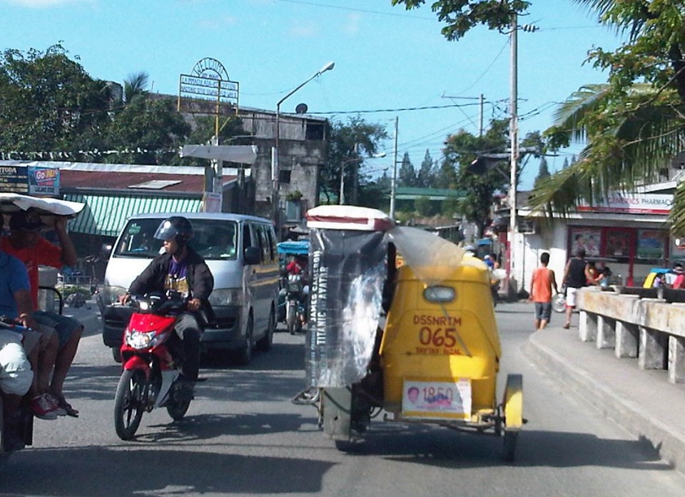
 One-way section beside the Taytay Public Market
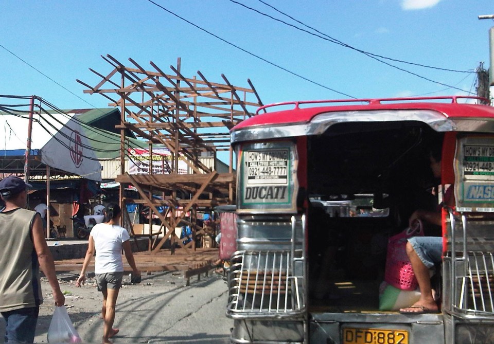 Parts of the market were under renovation
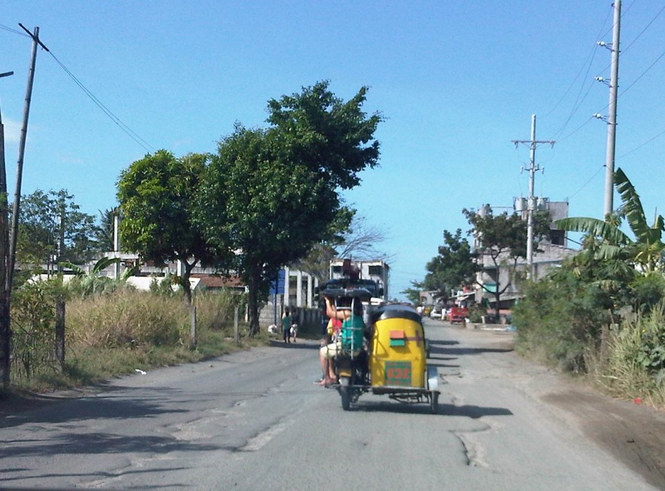 Past the market, Highway 2000 becomes a 2-way road. There are no lane markings and the pavement shown in the photo indicates a poorly maintained road.
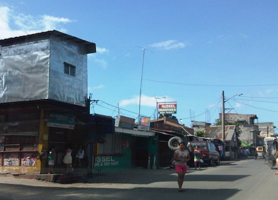 Along the road are subdivisions, a few commercial establishments, a columbarium under construction, informal settlers and much open space.
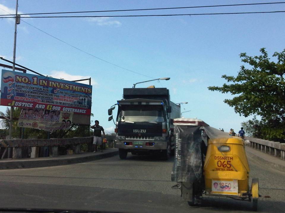
 Junction with the Manggahan East Bank Road and approach to the Barkadahan Bridge
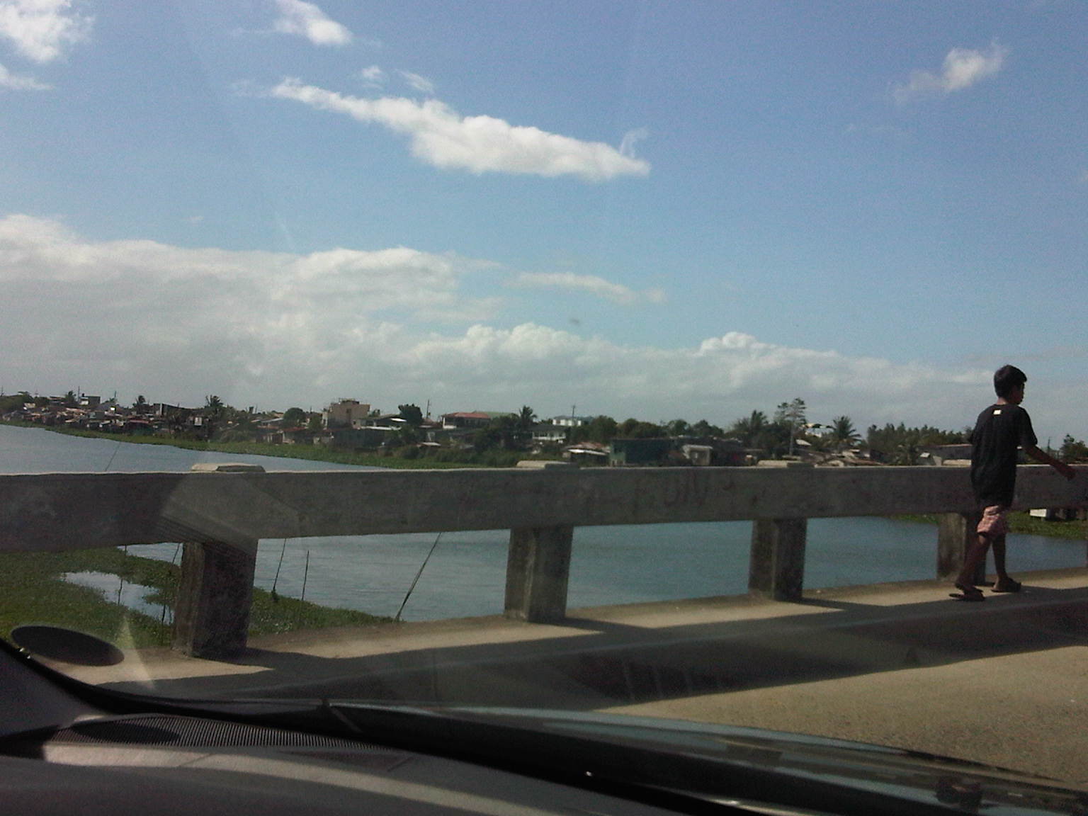
 Crossing the East Bank Road to the 2-lane Barkadahan Bridge, you can immediately notice the narrow sidewalks along each side of the bridge. I think they should have designed this to be wider considering the significant number of people crossing the bridge on foot.
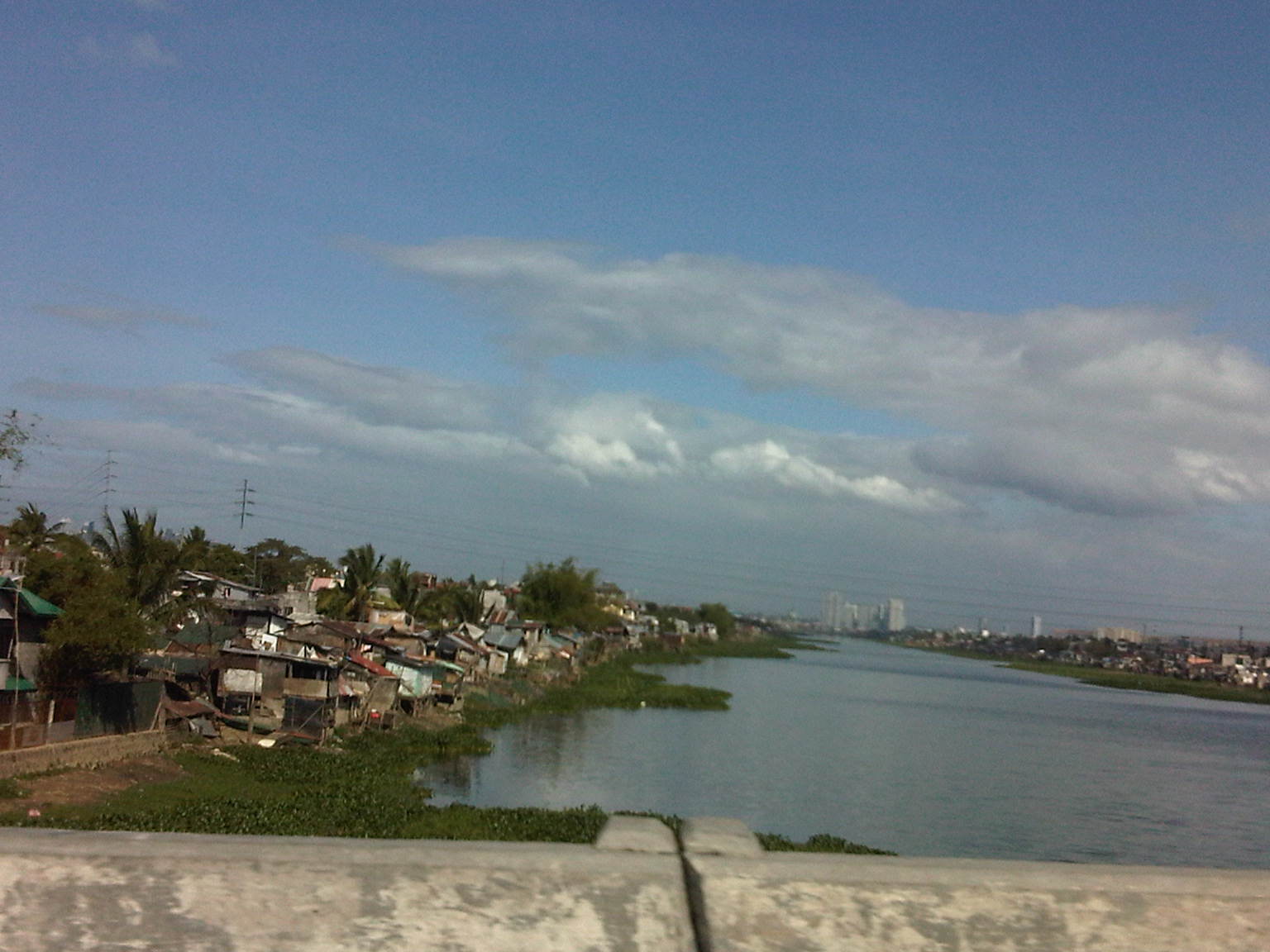
 One can have a good view of the southernmost end of the Manggahan Floodway from the bridge.
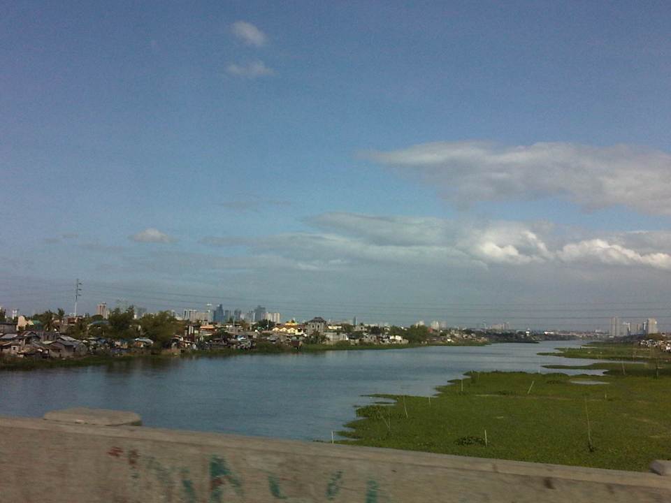 The view shows a lot of informal settlers along both the west and east banks of the floodway and a lot of water lily and kangkong on the waters, which lead to the Laguna de Bay.
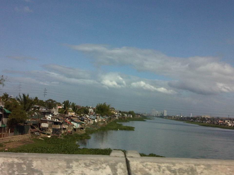 Shanties along the west bank of the floodway. The tall buildings in the horizon and downstream from the bridge are located in Quezon City’s Eastwood along Circumferential Road 5. Behind Eastwood is the Marikina River, which connects to the Manggahan Floodway via the Rosario Weir.
 The other end of the Barkadahan Bridge is a junction with the Manggahan West Bank Road and a generally residential area that is still part of Taytay, Rizal.
The same route can also be used by those residing in Pasig and Marikina cities to the east of the Manggahan Floodway as there is a direct connection to Highway 2000 and the Barkadahan Bridge via the East Bank Road of the Floodway.
–
