
Rizal Avenue – Part 1: Carriedo – Bambang
Rizal Avenue stretches from Manila northward to Caloocan city from Carriedo to Monumento. What used to be one of the more cosmopolitan streets in Manila was transformed (some say blighted) by the construction of the elevated LRT Line in the early 1980’s. Carriedo, for example, used to be a popular shopping street along with Escolta. Those were times when there were none of the huge shopping malls now scattered in Metro Manila and people came to Manila to shop.
The following photos were taken while we traversed Rizal Avenue as part of a recon we were conducting for a project with the Department of Transportation and Communications (DOTC) back in 2011. I’m not sure if there have been any significant changes along Rizal Avenue and I am not aware of any recent programs to improve conditions under the LRT Line 1.
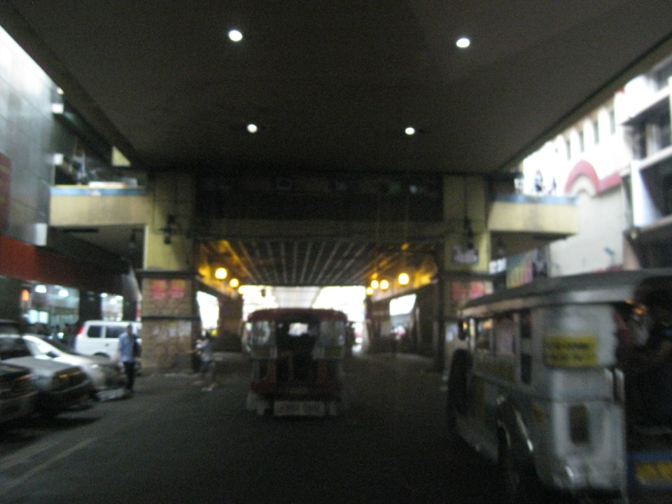
 Approaching the LRT Line 1 Carriedo Station from the McArthur Bridge
 Under Carriedo Station, one experiences first-hand what people have been saying about the area being blighted by the LRT 1 structure
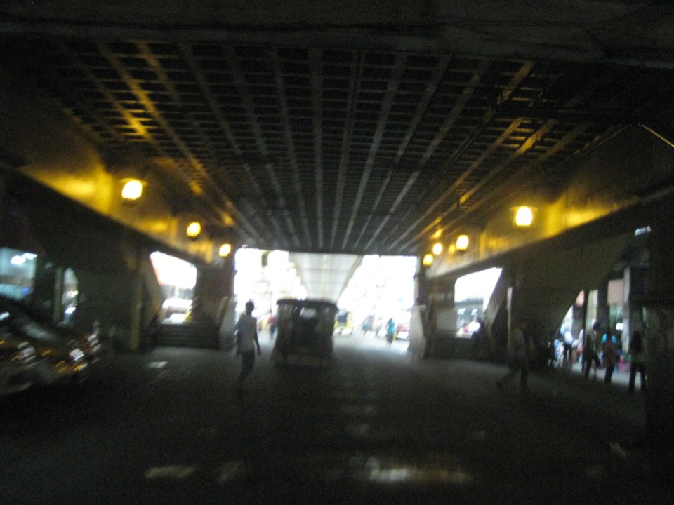 Poorly lighted? It was broad daylight outdoors when we conducted the recon but underneath an LRT 1 Station it can get quite dark. Of course, aside from the need to improve illumination, perhaps authorities can also improve the environment including the cleanliness of the area under the station. A common complaint is garbage and there are those saying the area smells of piss (i.e., mapanghi).
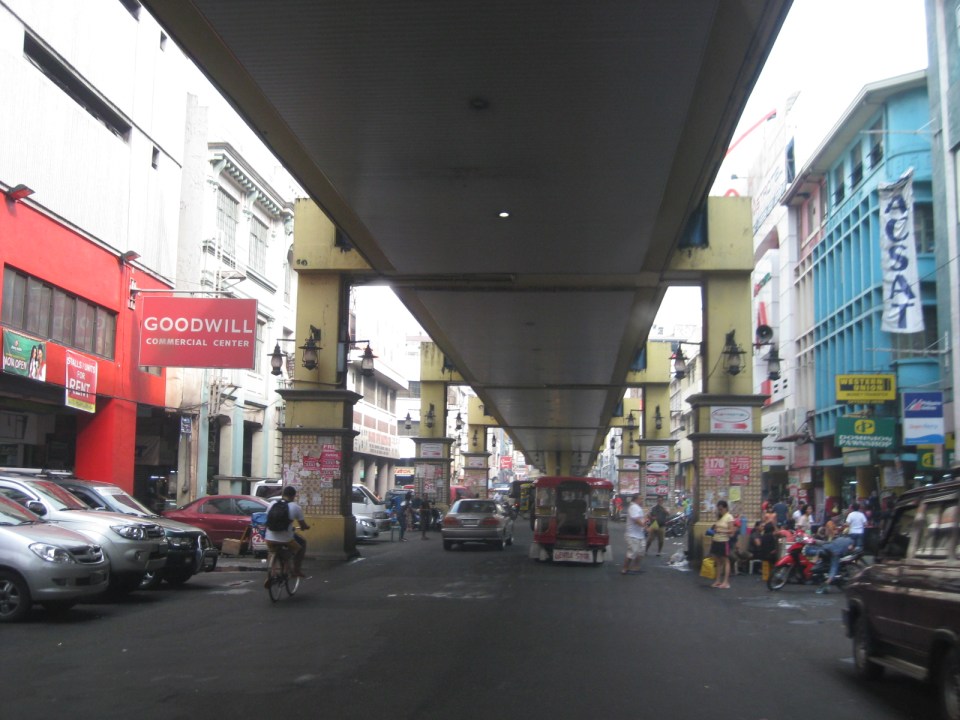 Past Carriedo Station, it was brighter and perhaps the area can be developed so that stretches can be pedestrian friendly. Maybe there should also be restrictions on vehicle parking, which tends to make the area look congested. It would be good to have a strategically located multilevel facility in the area where most vehicles can park instead of along the streets as shown in the photo.
 5More roadside parking plus the presence of tricycles contribute to traffic congestion in the area. People are everywhere walking and crossing anywhere. The arcades where they are supposed to walk along are mainly occupied by vendors or merchandise of stores/shops occupying the ground floors of the buildings along the street.
 Each side of Rizal Avenue is surprisingly wide with 3 lanes per direction. One lane is effectively used for on-street parking while the other two are for general traffic. There are no lane markings at the time we passed by the area so there can be confusion as to lane assignments.
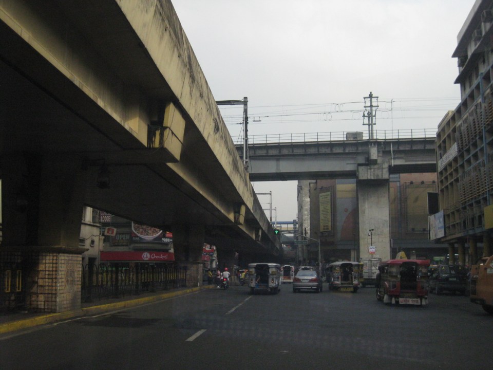 Approach to the junction with Recto Ave. and the LRT Line 2, which is also elevated and at the 3rd level as shown in the photo.
 Rizal Ave.-Recto Ave. intersection – visible downstream in the photo is Doroteo Jose Station
 Provincial bus terminal between Doroteo Jose and Bambang Stations
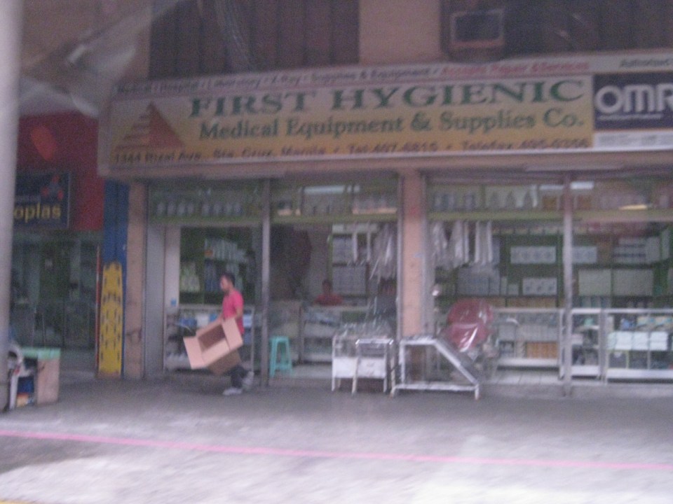 The Sta. Cruz district and particularly the Bambang area is well-known for shops selling medical equipment and supplies. Medical, nursing and other students of allied medical professions as well as professionals come to Bambang to purchase equipment and supplies from these shops, which offer items at lower prices.
 LRT 1 Bambang Station
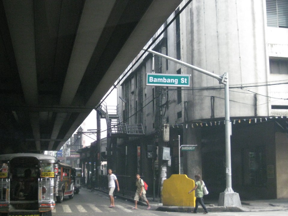 Rizal Ave.-Bambang St. intersection beneath the station
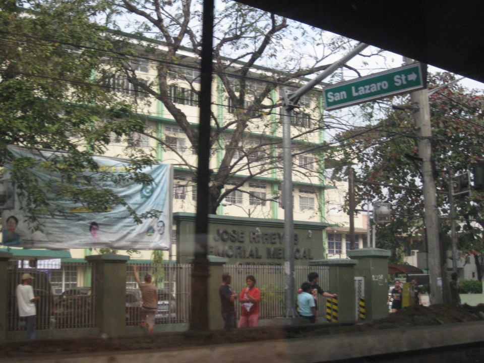 Two large government hospitals are located in the area between Bambang Station and Tayuman Station – San Lazaro Hospital and Jose Reyes Memorial Medical Center. Both are run by the Department of Health (DOH), which is located beside Jose Reyes.
–
