
Congestion along C-6 and potential for a public transit corridor
We begin February with a post on a road that’s becoming more popular as a major (as opposed to alternate) route to Bonifacio Global City (BGC) and Makati CBD – Circumferential Road 6. I took the following photo at the approach to the Nagpayong Bridge that is current has only 2 lanes (1 per direction). Another bridge is being constructed along the existing one that will increase capacity for the Pasig River crossing to 2 lanes per direction. This is similar to what was done to the Barkadahan Bridge crossing the Manggahan Floodway in Taytay, Rizal.
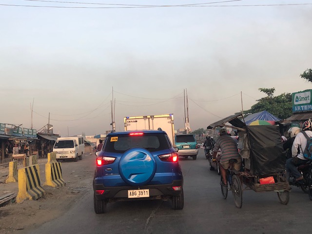
The volume of road vehicle traffic is steadily increasing along C-6. The adjacent land use offers a lot of potential for development (hopefully planned) that will feed more traffic along what will become a major thoroughfare in the near future. The land I am referring to are the reclamations on the side of Laguna de Bai along C-6 that are under the jurisdiction of Taguig and similar developments on the opposite side on what was once swampy or marshlands. One wonders if Taguig has a plan for all this or if the city is turning a blind eye and just letting developers do what they want. Most seem to be residential subdivisions and industries-related with a sprinkling of mainly small to medium-sized commercial developments.
Again, I think national and local governments should consider making this a public transport corridor by introducing formal public transport in the form of a scheduled bus service stretching from, say, Bicutan Interchange to Taytay Public Market. The demand along this corridor is steadily rising and only a better connection to C-5 limits an even steeper increase in traffic volume along C-6. The time is now in order to condition commuters about the system and to the unwanted congestion experienced along major roads in the metropolis.
–
