
Old maps of Rizal Province
I found these two old maps of the Province of Rizal. I was trying to trace their sources but couldn’t find them yet. These were shared from social media pages.
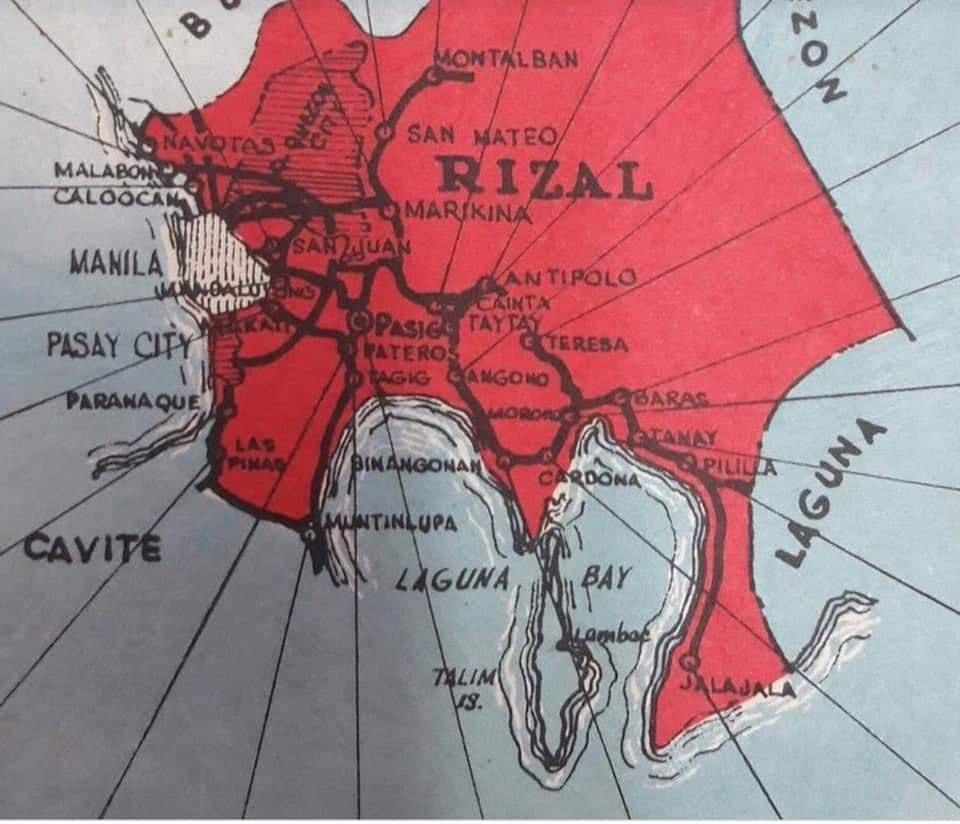
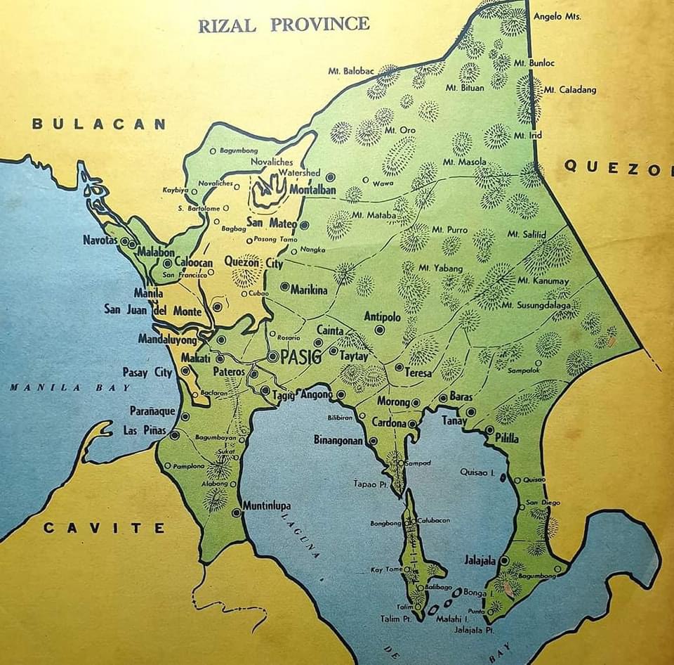
The second map clearly shows the Rizal towns that eventually became part of Metro Manila in the 1970s. These include Navotas, Malabon, Caloocan, Marikina, Pasig, Tagig, Mandaluyong, Makati, Pateros, Paranaque, Las Pinas and Muntinlupa. Pasig used to be the capital of the province; hence, Kapitolyo, which is still in Pasig. Note, too, that Caloocan was connected via a narrow strip between Quezon City and Bulacan. That part of Bulacan is the then town of Valenzuela that was also integrated with Metro Manila. I wrote about a ‘what if’ a while ago where politics would have been different in the province if it remained as it is before the creation of Metro Manila. History teaches us a lot of things including decisions made that led to how we are today. That certainly applies to transportation and definitely applies to politics if you come to think of it particularly for Rizal.
–
More political garbage along our roads
I was telling some friends who were planning to go to Antipolo this long weekend that they should not be distracted by the images of demonyos and demonyas they’ll see along the way to the Shrine of Our Lady of Peace and Good Voyage.
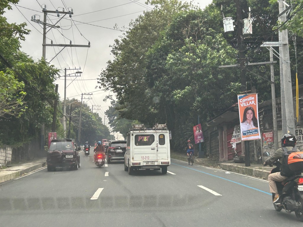
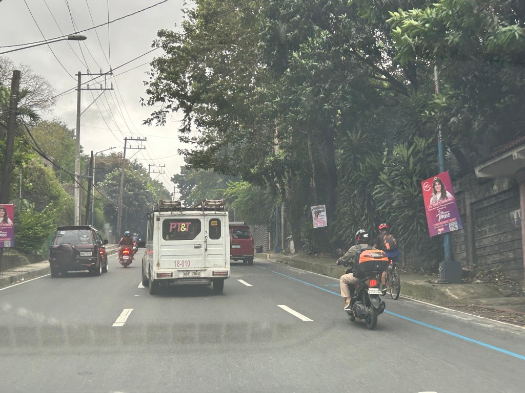
These are electioneering and those who vote for these clowns have no right to complain about their economic situation. You only perpetuate these scums in government.
–
