
Commuting through floods
Yesterday’s rains were catastrophic. Reports stated that a week’s rains fell over a period of 2 to 5 hours, depending on where you were in the Mega Manila area. The resulting floods provided misery to people in flood-prone areas as well as those who had to go through the floods on their commutes to their homes. Here are photos from my commute going home yesterday. I relied on Waze for the shortest travel time and the app took me to flooded areas in Cainta. Perhaps it assumed my vehicle can safety navigate the floodwaters?
 Flooded street in Gruar Subdivision in Cainta, Rizal
 Flooded A. Bonifacio Avenue in Cainta, Rizal towards Taytay, Rizal. This is the main avenue through the heart of Cainta.
 Flooded streets in the area leading to Hunters ROTC Street. These residential areas are prone to flooding and children commonly play in the floodwaters – certainly at risk from getting sick from whatever it is in the waters.
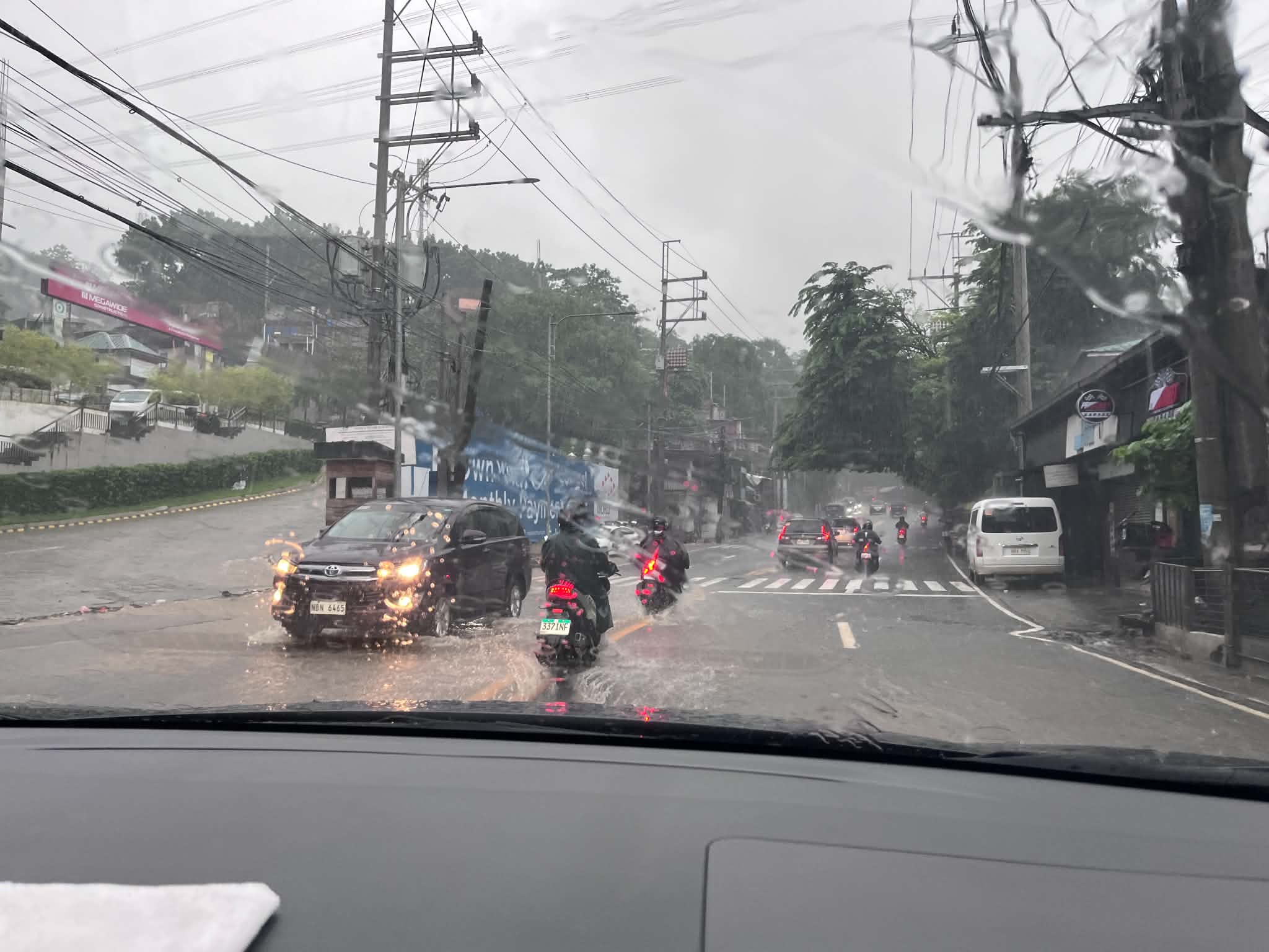 This is Ortigas Avenue Extension and on the way up to Antipolo. This area wasn’t flooded before and residents attribute the floods to the high-rise residential buildings and commercial development in the area. That’s actually a lot of run-off not absorbed by a drainage system that’s supposed to have been constructed with the developments. Did the local government of Taytay, Rizal make an evaluation of this before approving the projects?
Is there an end to this flood problem? Are the solutions really being implemented or, as we’ve learned the past so many months, are we being taken for a ride by our so-called leaders and agencies that are supposed to address these problems. People are supposed to be tired of the resilience story being peddled by politicians but the clamor seems to be in social media only and the real people who are lobbying for solutions have to contend with trolls who are also peddling their own narrative for their masters.
–

