
Home » active transport
Category Archives: active transport
Article share: On bike buses
Here’s a quick share of an article on bike buses. It’s a good idea that can probably be adopted by schools where most or many students live or reside within a ‘bikeable’ distance of the school.
Chudwin, E. (August 28, 2025) “Bike Bus Pedals in New Era of School Transportation,” Planning Magazine. American Planning Association.
I recall that there was an attempt to replicate this in Metro Manila (Quezon City?). However, there is no update on whether that was just a pilot or a one-timer or something that is now a regular thing for school commutes.
–
Philippine Transportation Journal, Vol. 8, No. 1
The latest issue of the Philippine Transportation Journal is out. Volume 8, Number 1 includes five (5) papers derived from the Transportation Science Society’s 2025 conference held in December 2025. PTJ didn’t have a 2025 issue as last year was an EASTS Conference year and TSSP held its 31st Annual Conference in December instead of the usual September or October. Most if not all papers published in PTJ are from the best of the conference including the best paper and best presentation. Authors are given the chance to further refine their papers based on the feedback or comments in the conference sessions, which may be different from the comments received during the review process.
I reproduce below the list of papers in the latest PTJ issue. Three papers are associated with UP Diliman: #2 with the National College of Public Administration and Governance, #3 with the Asian Institute of Tourism, and #4 with the College of Engineering. One paper, #1 is from the University of Asia and the Pacific. The last but not the least, #5, is from UP Los Banos.
1. Empowering Local Government Units in Public Transport Service
Provision through Franchise Policy Reform – SUNIO, V., MANUEL, G., PACHECO, J.A.
2. Optimizing Route-based Fleet Size Computation through Network-Based Modeling for Puerto Princesa City, Philippines – Fajardo, A.C., SANCIANGCO, E., OLLERO, L.J., ALTEA, J.R., CASTILLO, C.A., TIGLAO, N.C., CUNANAN, P., SIPASIP, H.D., TOLENTINO, N.J.
3. Understanding Inland Water Transportation and Its Potential for Tourism: The Case of Navotas – Malabon River Boats in Metro Manila, Philippines – MASONG, G.R., AMIDAO, P.J.M., GUILLEN, M.D.V.
4. Measuring the Traffic Impacts of Tactical Urbanism: A Corridor and Intersection Analysis in Quezon City– MICIANO, M.L., HALIL, J., RAMILLANO, J., SIGUA, R.
5. Comparative Analysis of the Influence of Environmental Awareness on Transportation Mode Choice Between Students of UP Diliman and Ateneo de Manila University – SERIOSA, V.J., REYNOSO, C., LIM, M.B., SUNDO, M.
Here is the link to the PTJ Vol. 8, No. 1: https://ncts.upd.edu.ph/tssp/archives/3319
–
Nice day for a walk!
The sun’s finally out after so many days of heavy rains (and floods). It’s nice to be walking again outdoors instead of indoors (building stairs and corridors, and malls).
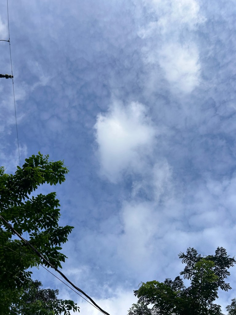
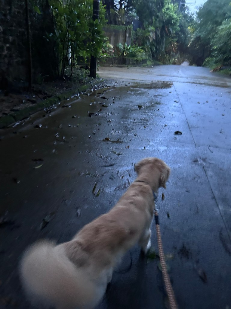
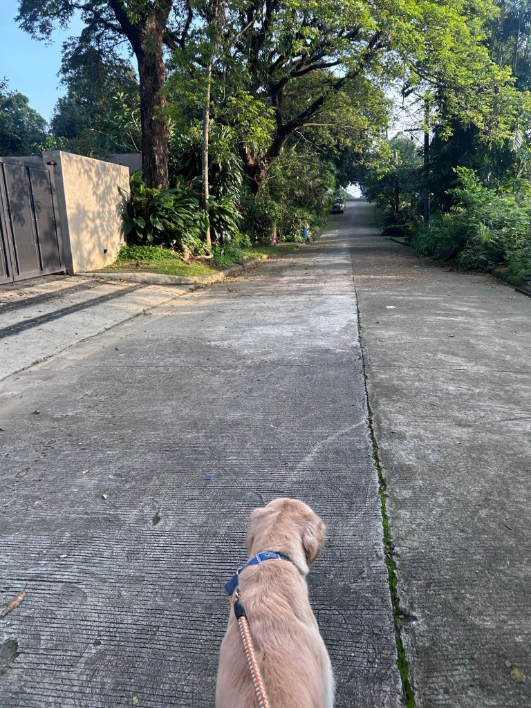
It’s quite pleasant out with a cool breeze that encourages us to do outdoor activities. I did my walking this morning and will be walking again later today!
–
Article share – Planning for Love, Part 3: Enhancing human connection through walkability
Here is the third article that argues for walkability in order to generate human connections. To quote from the article:
“The goal isn’t to design cities for dating specifically, it’s to create places where human connection can flourish. The places we often think of as the most romantic weren’t planned with dating as their primary objective. Instead, their priority was creating vibrant public life, walkability and shared spaces. “
Planning for Love, Part 3: Enhancing human connection through walkability
Source: Planning for Love, Part 3: Enhancing human connection through walkability
Article share – Planning for Love, Part 2: What happens to dating in a car-centric world?
I shared the first part of a series relating the built environment with love (or dating). The second part is also very interesting as it focuses on the impacts of car-centricity. To quote from the article:
“Everyone across both groups said they’d ideally like to meet their partner in person, organically, putting spontaneous public interactions and friends at the top of the list while dating apps and social media fell to the bottom.
In practice, however, drivers were getting far fewer spontaneous public encounters than they wanted, turning to social media for dating far more than they’d like.
For non-drivers, their actual dating life and dating ideals were much more in sync: public encounters and social media use both happened at nearly the rate they preferred. One exception was meeting through friends and family, which happened less often than they would’ve liked.”
Planning for Love, Part 2: What happens to dating in a car-centric world?
Source: Planning for Love, Part 2: What happens to dating in a car-centric world?
–
On desire paths
I found this article on desire paths. These are paths made by people based on their preferred ways to get from one place to another. Often, the paths or ways that are constructed and paved are not the shortest or most desirable ones and appear to force people into following them. Perhaps the built pathways are planned or designed to follow a certain aesthetic in as far as infrastructure is concerned. Desire paths often are the most direct routes from one place to another. These shortcuts are defined over time by the wear along the path. In some cases, they eventually become formalized when they are paved or maintained one way or another including trimming of foliage along the paths.
https://www.boredpanda.com/desire-paths-pictures/?utm_source=share&utm_medium=top&utm_campaign=user
Here’s an example at the National Science Complex grounds of the University of the Philippines Diliman:
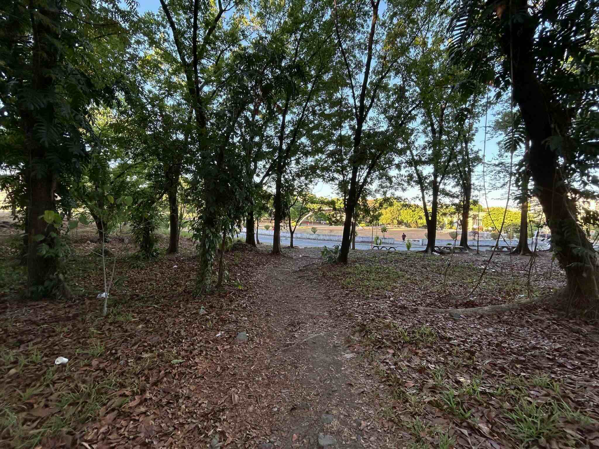 Desire path created by students and staff as a shortcut from the complex core to one of the outlier buildings.
–
On affordable and inclusive mobility in the Philippines
Here’s a quick share of an article from the Institute for Climate and Sustainable Cities (ICSC) about affordable and inclusive mobility. The observations and conclusions are actually familiar because these have been articulated before when the topics were brought up in the context of environmentally sustainable transport (EST).
–
Article share: Why Complete Streets Design Benefits Everyone
Here is another quick share of an article; this time on Complete Streets. I guess many are aware of the AI-generated street transformations that are now being shared across many social media platforms. These show street transformations of many sections and intersections.
Source: Why Complete Streets Design Benefits Everyone
Again, it is important to have context sensitive solutions. This extends to street transformations. Some may look cool (AI tools have enabled non-architects, non-engineers, etc. to produce nice renderings) but should be tempered for the street or highway functions as well as the actual volume of people and vehicles running along these.
–
Some thoughts and reflections on transport and the Middle East crisis
Much has been said and written about the ongoing crisis brought about by the US and Israel attacking Iran and the latter retaliating. The prices of fuel have risen rapidly over the past weeks. Consequently, the prices of commodities have also risen. The Philippines is still very much dependent of fossil fuels for transportation with most travel using road-based transport. Even public transportation relies heavily on fossil fuels as buses and jeepneys are mostly using diesel engines. Even paratransit such as trikes and motorcycle taxis use gasoline.
While the energy mix in the country has become more diversified with renewables now having a substantial share, majority of power is produces using coal and natural gas. And so e-powered vehicles are also ultimately dependent on these fuels. Could we have had better transport that could have made our cities more resilient in light of the conflict in the Middle East? Probably, and if we followed and implemented the plans for mass transit systems that were laid out decades ago. Of course, this is already moot and academic given the current situation. The counterfactuals though point to better commuting conditions if projects have not been delayed or shelved.
A colleague and I were just discussing about how MRT 7 could have contributed to the reduction of car use along the Commonwealth Avenue corridor if it was completed according to the original schedule. That was 2019. Even with delays including the impact of the pandemic, it could have been completed a few years ago. If it was operational in 2023, commuters could have already shifted to rail from both private and public road-based transport modes. There was also actually a proposal for a Bus Rapid Transit (BRT) line along Commonwealth about 2 decades ago. That could have been constructed and operational ahead of Line 7 and could have already disrupted commuting preferences along the corridor if it were operated as a true BRT.
There’s just a lot of opportunities already missed that could have alleviated the fuel crisis we have now. Maybe we are really heading towards a bigger crisis when all these price increases lead to a more sweeping increase in the prices of commodities? We hope it doesn’t come to that but we seem to be helpless in this situation where we are caught unprepared for a war we are have nothing to do with.
–
On at-grade crossings and footbridges
Here’s a quick share of an article on how at-grade crossings are generally better and preferred over footbridges:
When Footbridges Cost Lives and At-Grade Crossings Save Them
The article effectively articulates the case for at-grade crossings and presents the facts and references in support of these crossings. I will only add here that context is still important along with an appreciation or understanding of the volume of traffic and occupancy of vehicles along the roads. Commonwealth Avenue, for example, requires footbridges but there should be better designs for these footbridges than the current ones along this highway. I think we lack good designs that we can refer to and this leads to a summary dismissal of footbridges where they are actually most suitable.
–

