
Home » Infrastructure (Page 6)
Category Archives: Infrastructure
Footbridges along Sumulong Highway – Part 1
There are several new pedestrian footbridges along Sumulong Highway. The intent is simple – provide a safe crossing for people considering the high volume of traffic along the highway and the high risk of being hit by vehicles. Speed is an issue here considering the highway’s slopes and curves. Footbridges present a quick solution. However, it is not necessarily the most appropriate given the objective of improving safety. Perhaps slowing down or ‘calming’ traffic is a better approach?
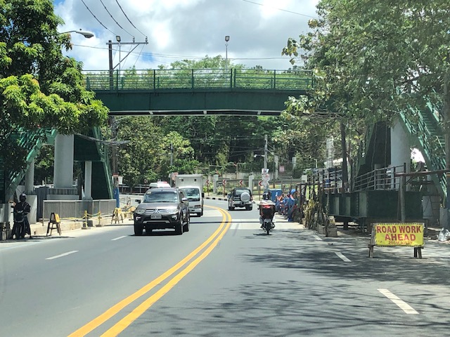 A new pedestrian footbridge near the San Pedro Calungsod Church. The intention is for people to use this footbridge to cross to or from the church. Considering the relatively narrow carriageway, crossing on road level is actually the shortest and most efficient way. However, the volume and speed of traffic is a major consideration here and elsewhere along Sumulong Highway.
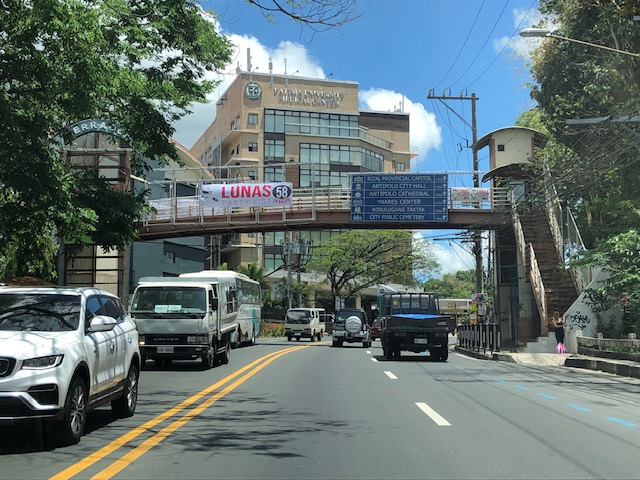 This pedestrian overpass or footbridge near Fatima University Hospital is intended for students and staff of the university and hospital. While many, even most, use the overpass, there are a significant number of people who prefer crossing directly on the highway. Before, there were school personnel, usually a guard, who helps people cross. I don’t see them anymore. Even Antipolo does not have traffic enforcers or aides in the area.
More on these pedestrian footbridges.
–
Article on “Fair Share Transportation Planning”
I am sharing this new article from Todd Litman on fair share transportation planning. The content is relevant and very timely in the Philippines considering many people including and especially transport officials are struggling with the thought of allocating resources to provide or improve facilities geared towards more equitable transport systems (e.g., more facilities for active transport).
Here’s the summary as quoted from the article:
“To be efficient and equitable, a transportation system must serve diverse demands. A diverse transportation system allows travelers to use the most efficient option for each trip—safe walking and bicycling for local errands, efficient public transit when traveling on busy travel corridors, and automobiles when they are truly the most cost-effective mode considering all impact—and it ensures that people who cannot, should not, or prefer not to drive receive their fair share of public investments.
Current transportation planning practices are biased in various ways that overinvest in automobile infrastructure and underinvest in more affordable, inclusive, and efficient modes. It is time for planners to reconsider our analysis methods and funding practices to ensure that non-auto modes, and therefore non-drivers, receive their fair share of transportation resources.
This is not anti-car. Motorists have good reasons to support more investments in non-auto modes that reduce their traffic and parking congestion, reduce their chauffeuring burdens and crash risk, and provide better options when their vehicles are unavailable. Everybody wins from a more diverse and efficient transportation system.”
Back at Laguindingan Airport – arrival
We were in Cagayan de Oro last April and I took the opportunity to take photos at the airport. The airport, of course, is no longer in Cagayan de Oro (the old one has been closed). It is now in Laguindingan town, which 30 to 60 minutes from CDO depending on the time of day and how aggressive your driver is. Laguindingan retained CDO as its code.
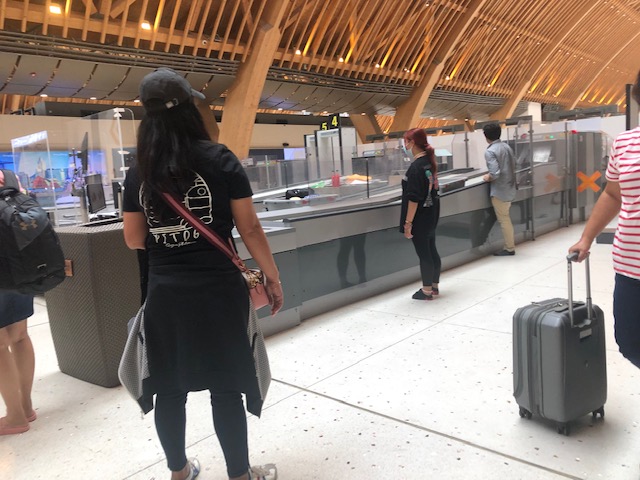
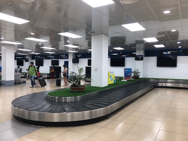 Baggage claim conveyor belt at the arrival area
 Passengers claiming their checked-in luggage
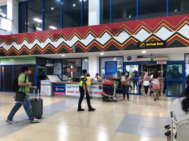 Exit from the arrival area – there is a CAAP Assistance Desk here
 Driveway and crossing for passengers
 The main driveway is currently reserved for VIPs. All other vehicles are required to go to the parking lot across from the terminal.
 Passengers need to cross to the parking lot where their fetchers await them or where they can book a vehicle to take them to their destinations.
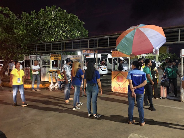
 People waiting for passengers. Most of these are fetching (sundo) relatives, friends or clients arriving at the airport.
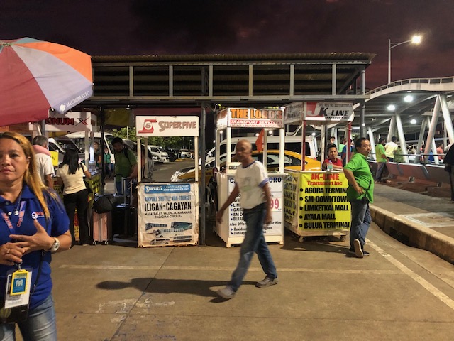 Transport services await passengers at the parking area. In other airports, these are located near the arrival exit. They are here probably due to security concerns. One can easily book a vehicle (usually a car or van) from Laguindingan Airport to typical destinations like Cagayan De Oro and Iligan City.
 Personnel of various transport service companies call for passengers to attract them to their booths. Others are drivers of rented vehicles, waiting for their clients to appear.
 The airport terminal as seen from the parking lot.
–
New reclamations at Manila Bay
As our plane approached to land at NAIA yesterday, I saw the current extent of the reclamation projects underway at the Manila Bay.
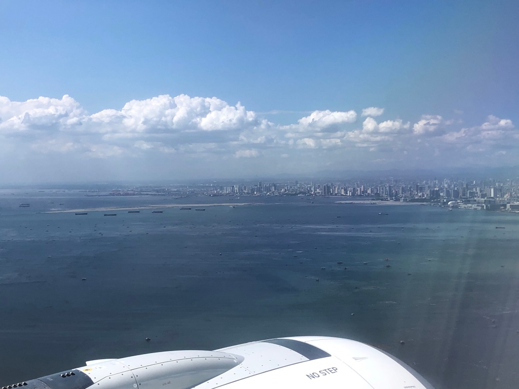


These projects are expensive to implement and will surely lead to even higher real estate prices. This will translate to expensive office, commercial and residential units. So one wonders who will ultimately benefit from these developments. Will government come in and require low cost housing here or will future workers have to commute to these places from the suburbs? The latter will definitely put more pressure on an already deficient transport system.
–
Departure via Mactan Cebu International Airport Terminal 2 – Part 2
In Part 2 of this short series (and a very late post at that), I share more photos at Mactan Cebu’s International Airport Terminal 2.
 MCIA is equipped with modern bag scan machines
 These are now installed in most major airports in the country but the first time I saw these outside of NAIA was in MCIA.
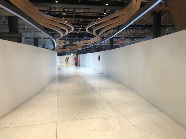 The long corridor from the final security check to the pre-departure areas
 The terminal is spacious as can be seen in this photo (and in the previous Part 1).
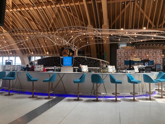
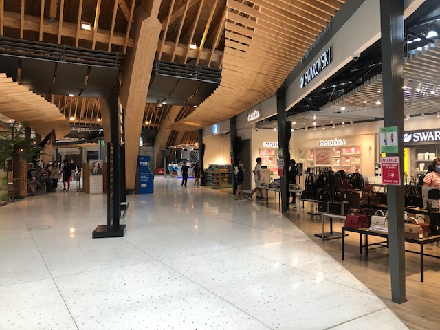
 There are many restaurants and cafes to choose from inside the terminal.
 There are generic ATMs around the terminal for the convenience of travelers who might need cash or do other transactions using these machines.
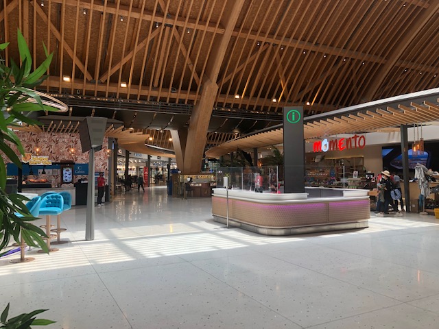 Information counter in the middle of shops and restaurants
 Souvenir shops have products mainly from Cebu. Others are from other provinces or regions but mostly from the Visayas.
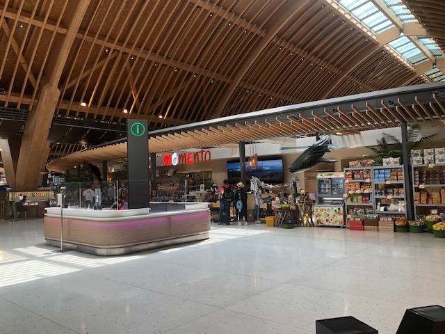 Another shot of the information counter with the souvenir shop across from it
 Cafe at the terminal just before the gates
 There’s a nice ramen restaurant at the terminal. I will write about this but in another blog.
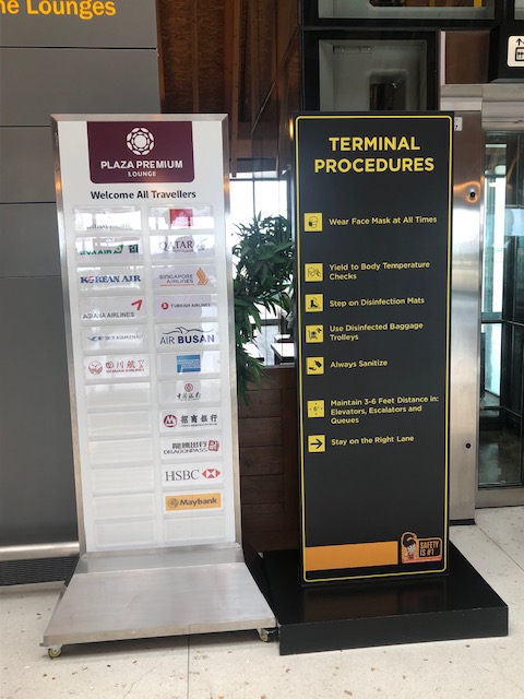 Premium lounge sign showing airlines whose passengers may use the lounge. Beside is a sign showing terminal guidelines including the wearing of face masks and the urge to regularly sanitize and practice physical distancing. This was over a year ago so perhaps they have a different sign at the terminal now.
 A closer look as the premium lounge sign
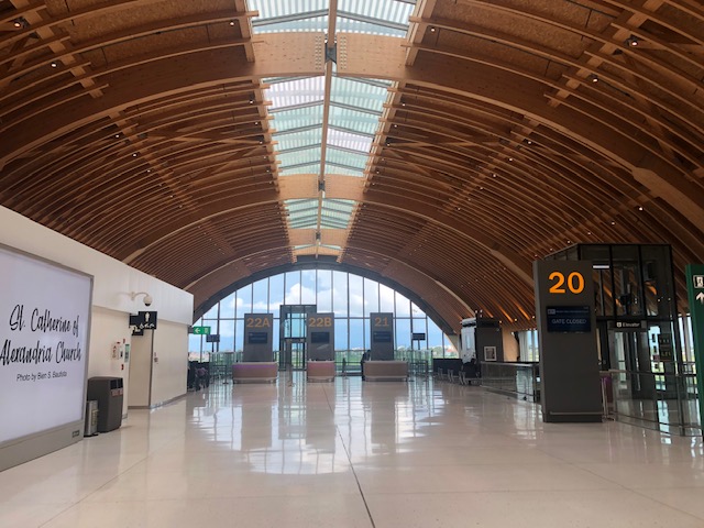 A look at the entrance to the pre-departure lounge of Gate 20
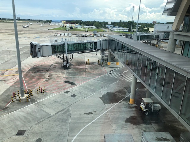
 A view of the terminal and the tarmac
 Tube waiting for the next aircraft to dock
 The modern design restrooms are clean and spacious.
 Boarding gates
 I took this photo of the floors.
 Drinking station near the toilets
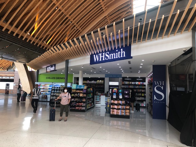 A familiar shop is this WHSmith, which we used to see only in airports in other countries including Changi and HK.
 A look at one of the Duty Free Shops at MCIA T2
 A glance along the corridor shows most shops and restaurants open
 Familiar brands like Coffee Bean and Tea Leaf have branches in the terminal
 Burger King is beside this donut shop – the donuts are really good and I took home a box from this shop.
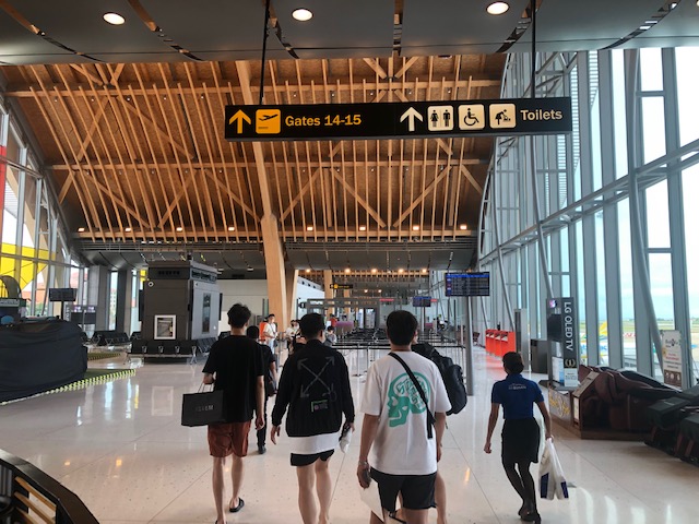
 Gateway to the departure gates
 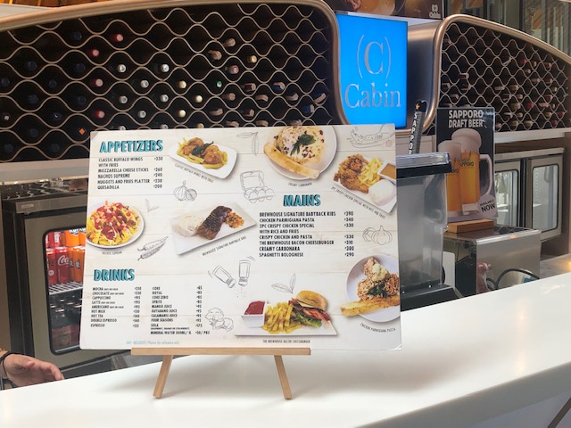 Terminal 2 cafe menu
 Another look at the tube while waiting for our plane to arrive.
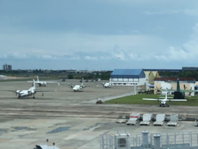 Other aircraft at the airport includes private planes and military aircraft from the adjacent air base.
I already mentioned that this is a late post. We traveled to Cebu back in July 2022 and perhaps many things have changed since then. The terminal’s features though should have few changes aside from having more people there as restrictions due to COVID-19 have been lifted. I just wanted to post this as a form of closure for an unfinished series featuring MCIA T2 before I start posting on other airports.
–
Central Luzon Link Expressway (CLLEx)
The recently opened Central Luzon Link Expressway (CLLEx) is a freeway spanning the provinces of Tarlac and Nueva Ecija towards the Cagayan Valley side of Luzon. With the ends at Tarlac City, Tarlac and San Jose City, Nueva Ecija, Phase 1 currently terminates at Aliaga town; connecting to the Guimba-Aliaga Road. That is 18 kilometers of the planned 30.7 kilometers of the first phase, which is to end at Cabanatuan City, Nueva Ecija. Here are some photos taken by colleagues as they traveled to Tuguegarao this weekend.
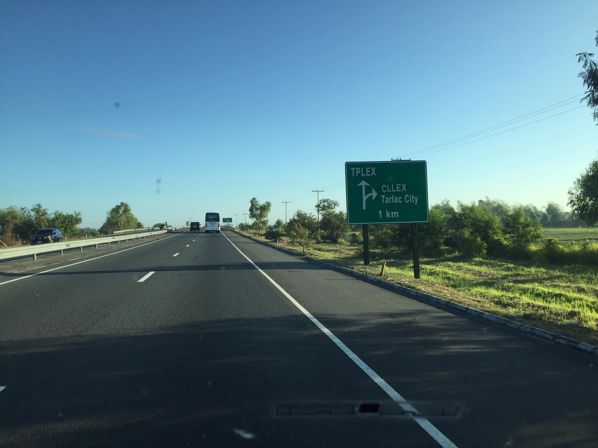 Section of SCTEX leading to the junction where the road branches to either the TPLEX or the CLLEx. SCTEX is a tollway operated by Metro Pacific via its Manila North Tollways Corp. while TPLEX is a tollway operated by San Miguel Corp. CLLEx is currently a freeway under the DPWH.
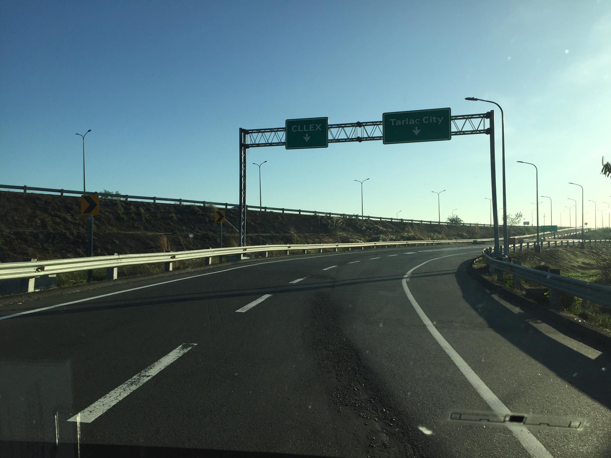 SCTEX off-ramps to CLLEx (left) or Tarlac City (right)
 The expressway currently has 2 lanes per direction plus shoulder along either direction. The median barrier is a post & rail semi-rigid structure.
 Many of the traffic signs have yet to be installed
 Not so much traffic along the freeway as shown in the photos. These were taken on a Sunday though and we wonder if there will be more vehicles during the weekdays.
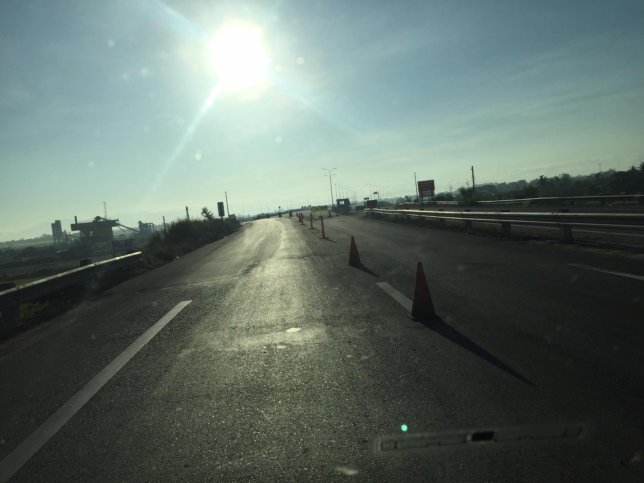 As the freeway is still uncompleted, the end section in Nueva Ecija is two lane-two way with only cones and bollards separating opposing traffic.
 Exit ramp towards the Guimba-Aliaga Road
There are no stops yet along the freeway. I am not aware if there is a timetable for it to become a tollway. Traffic is still quite low so perhaps making it a tollway will take some time as it might be difficult to have a profitable operation. It would be good to have it as a limited access freeway to establish demand and use for the road.
–
A Serious Critique of Congestion Costs and Induced Vehicle Travel Impacts
Here is a quick share for today. This is an article by Todd Litman critiquing congestion costs and induced vehicle travel impacts:
Quoting from the article:
It is time for planners to rethink the way we evaluate congestion problems and solutions. Vehicle travel is not an end in itself; our ultimate goal is to improve accessibility. Traffic congestion is one constraint on accessibility, but others are more important. For example, the study, “Does Accessibility Require Density or Speed?” found that a given increase in urban density, and therefore proximity, has a far greater impact on overall accessibility than an increase in travel speed, and therefore congestion reductions. This is particularly true of disadvantaged groups who cannot drive or are financially burdened by vehicle expenses.
It is irresponsible for transportation agencies to expand highways in ways that contradict other community goals. If they do nothing, at worst, traffic congestion will maintain equilibrium; people will manage within its constraints. Even better, transportation agencies can invest in resource-efficient alternatives—better walking, bicycling, public transit, and telework opportunities—that improve accessibility, increasing transportation system efficiency.
If we truly want to truly optimize our transportation systems, we need a more comprehensive analysis of impacts and options, including the full costs of urban highway expansions and the full benefits of non-auto mode improvements and TDM incentives. Highway expansion should be a solution of last resort, only implemented when all other solutions have failed and users are willing to pay the full costs through tolls.
It’s time to stop obsessing about congestion and instead strive for efficient accessibility that serves everybody in the community.
Source: A Serious Critique of Congestion Costs and Induced Vehicle Travel Impacts
Article share: on pedestrian facilities and climate change
Here is an article that articulates the importance of walking and pedestrian facilities in sustainability and ultimately fighting climate change. It argues that if we had the infrastructure and facilities to make it easier for people to walk, they will and are likely to walk rather than use their cars. This is not limited to short trips as walking can be in combination with public transportation, making it an integral part of trips where public transportation covers the main commute and walking is the proverbial last mile travel.
To quote from the article:
“Walking, biking, and transit need to be prioritized, and treated as legitimate forms of transportation. This means stepping up efforts to collect data on sidewalks the way we do for roads, investing in complete walking networks before engaging in expensive new road projects and making sidewalk construction and maintenance a municipal responsibility rather than an individual one.”
Article share: Redesigning Streets for Livability: A Global View
I am sharing this article on redesigning streets. It is actually a promotion for a book: “Streets For All: 50 Strategies for Shaping Resilient Cities”.
To quote from the article:
“Streets For All: 50 Strategies for Shaping Resilient Cities is an expansive 270-page volume that explores the evolving potential of the most ubiquitous public space in our cities. It offers ideas, tactics and strategies from across the world on how our streets are being, and, can be rethought, recast, repurposed and redesigned towards greater resilience and resourcefulness. The globally diverse opinions and case studies in this book remind us why cities with limited means can offer profound lessons to affluent societies that take their prosperity for granted. And in turn, how the virtues of effective urban administration and reinforcement seen in developed societies could reassuringly serve to inspire less economically developed ones.”
Why do we keep widening roads?
I’m just going to share this article here. The article from The NY Times asks a question that has been bugging planners and engineers, particularly those who are in government and perhaps under the agencies like the DPWH, DOTr and NEDA. This also applies to planners, engineers and those from other disciplines involved in transportation infrastructure development and particularly roads or highways.
–
