
Home » Maritime transport (Page 2)
Category Archives: Maritime transport
On the DOTr for Public Transport – Maritime Sector
Here’s a continuation of the set of guidelines issued by the Department of Transportation for transport operations for areas that are or will be under the General Community Quarantine (GCQ). Again, I try to refrain from making any critiques or comments, and post this for information and reference.
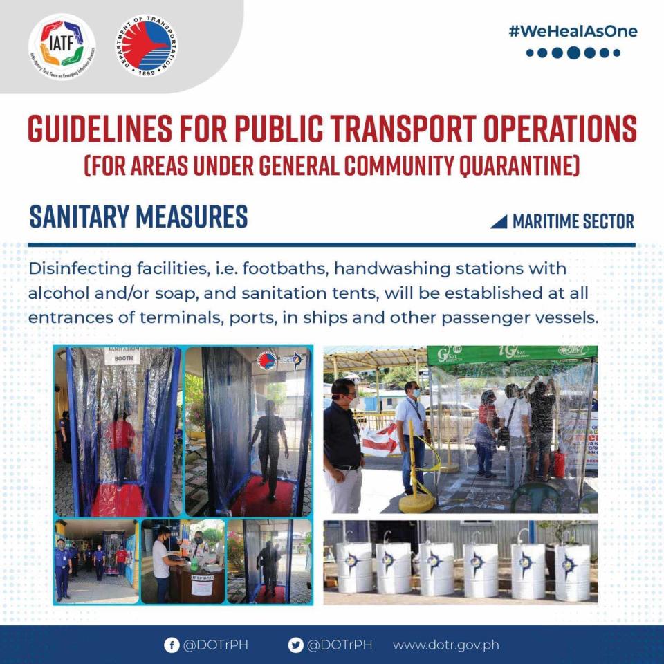
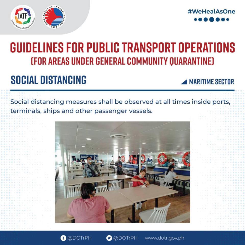

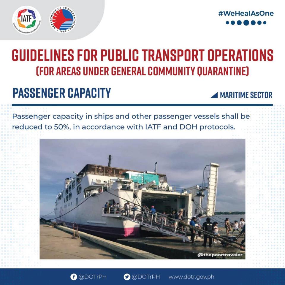
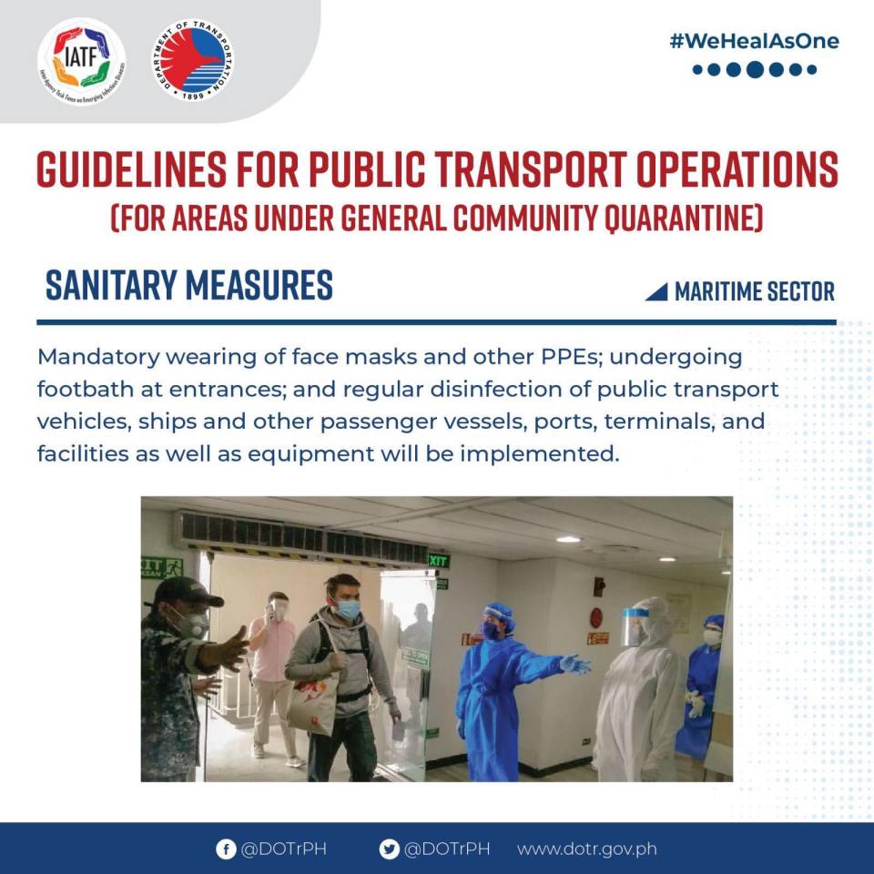
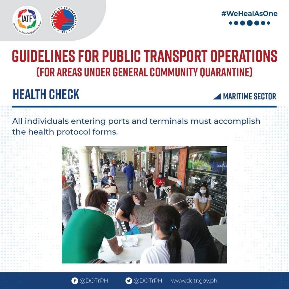
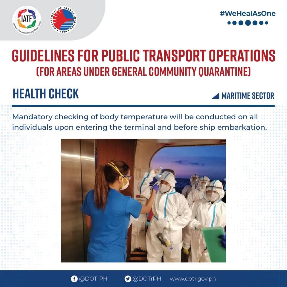
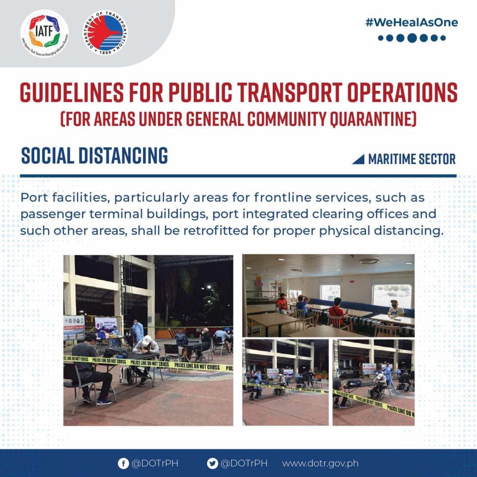
–
Trip to Baler
I have yet to post a few more articles about my trip to Naga City,Camarines Sur and yet here I am traveling again, this time to Baler, Aurora. I have made it a point to travel to at least one new destination every year and this year it looks like I will be traveling to at least one new local destination and perhaps one new place overseas. So I will be concluding March by sharing this photo of two bancas (the type with the outriggers for balance) I took earlier this morning during my stroll along the beach.
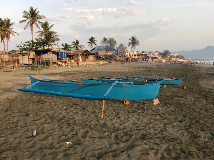 These boats are used by fishermen though they can also be used for transportation along the coast. These are the non-motorised type so it takes some skill and constitution to paddle these vessels especially when the waters are choppy.
I promise to post more about this trip soon including sharing photos of arches and the dam roads of the Canili River Reservoir and the Diayo River Reservoir in Maria Aurora town.
–
The busy Chao Phraya
The Chao Phraya is a very busy river as traffic along this body of water is quite heavy. There are lots of vessels including those used for commuting and tourism. Here are a few photos I took from my hotel room.
 A couple of commuter boats going on opposite directions
 A river cruise vessel that’s popular with tourists. They serve meals on the upper deck and there is entertainment as well as a guided tour of the attractions along the Chao Phraya.
 River traffic is heavy even during night time. Attractions such a the Grand Palace are nicely illuminated at night so these make for impressive sights. Perfect backgrounds while having dinner or perfect subjects if you’re into photography.
 The Chao Phraya Princess (one of many princesses) docking at the Shangri-la
I wonder if the Pasig River can be developed to this level in terms of commuter and tourist traffic.
–
Tacloban City waterfront
While going around the city’s downtown area last week to inspect the work of our surveyors, we decided to take a break at a fast-food restaurant near the port. This branch of the fast-food chain offered nice views of the city’s waterfront and I took a few photos that I share below:
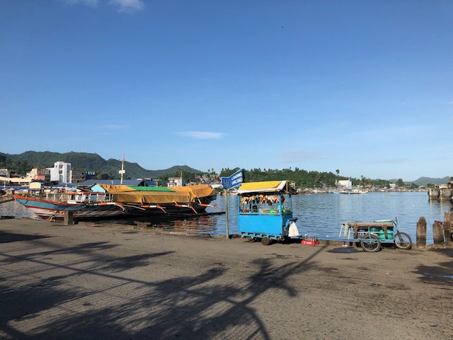 A vendor’s cart located at the road behind the fast-food restaurant – the road is used by public utility vehicles as an informal terminal and you will seldom see vehicles passing through it.
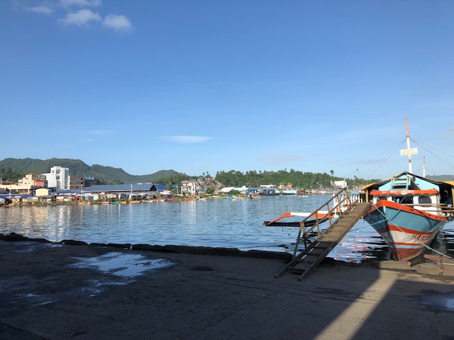 A large outrigger sits at the port. These vessels
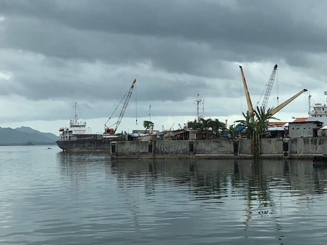 Freighters and cranes at Tacloban’s port
 A ship arriving at Tacloban
–
Ferry ride from Darling Harbor to Cockatoo Island
I had an opportunity to ride the ferries going around Sydney including some of the islands that were part of the attractions of the city. We rode a ferry from Darling Harbor to Cockatoo Island, which used to be for shipbuilding and repairs. It was also historically significant not just because of the ships that were built or repaired there but also because it was used as a correctional facility.
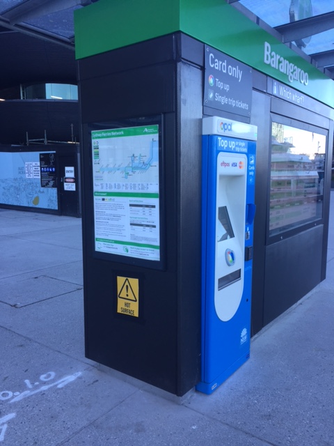 Information and fares – one can get detailed information on ferry services at the wharf and also purchase single trip or top up cards from the machines conveniently located in the area.
 Information on the ferry services including the network and use of Opal cards to pay for your fares
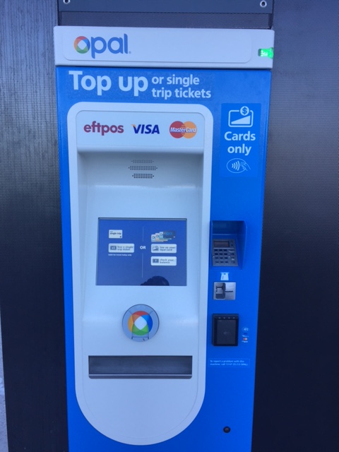 One can use the Opal card to take ferry rides. You can top up (reload) at terminals at the wharf
 The wharf where we were to await our ferry for Cockatoo Island
 Sign showing which ferry lines dock at Wharf 1: F4 is for Circular Quay and F3 is for Parramatta, which includes a stop at Cockatoo Island.
 The arrival of our ferry at the port
 The cabin was practically empty when we boarded the ferry.
 A better look at the spacious cabin
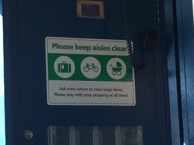 Advisory for all passengers
 Ferry layout and safety plan
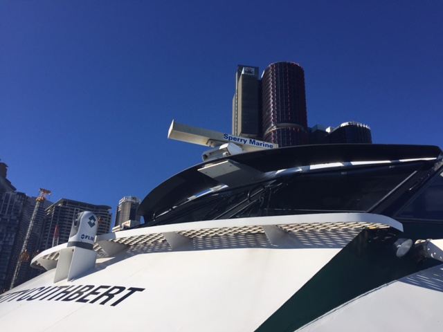 A view of the bridge and showing the name of the ferry. We discovered that each ferry was named after a prominent female sports figure.
Our ferry ride to Cockatoo Island afforded us splendid views of the waterfront properties and landmarks. The ferry also had few passengers so we could go around the boat to have an appreciation of the sights as well as the vessel itself. I will post some photos of the views from the ferry in a future article.
–
First call for papers for the TSSP 2017 conference
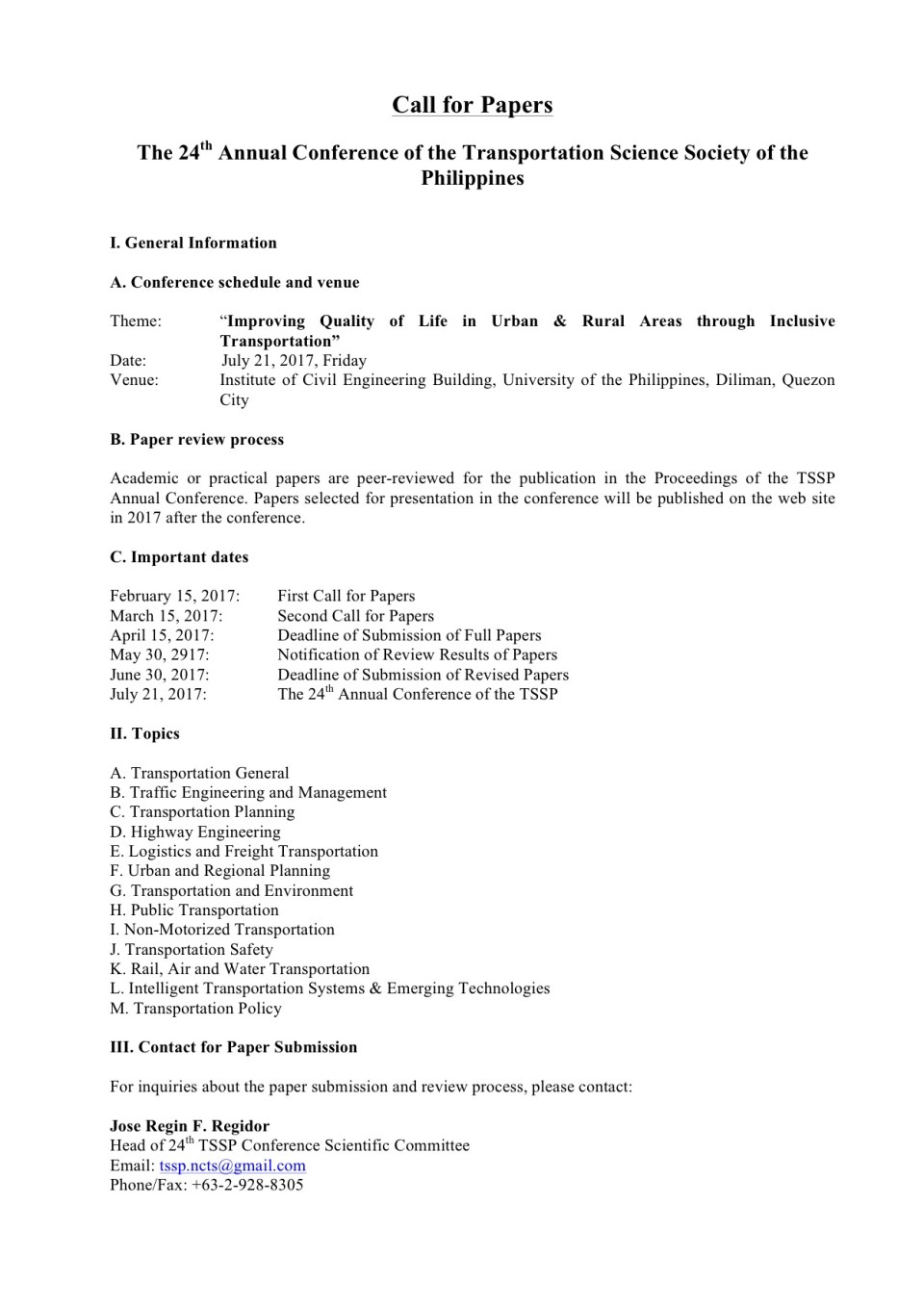
The first call for papers for the 24th Annual Conference of the Transportation Science Society of the Philippines came out last Wednesday, Feb. 15:
–
Calamba-Binangonan boat ride
A niece posted on social media about a boat ride she took from Calamba, Laguna to Binangonan, Rizal. I immediately became curious about this as this presented an alternative mode of transport across the Laguna de Bay that could significantly cut travel time between major towns in Laguna and Rizal. Perhaps a boat ride could also cut substantial minutes between these provinces and Manila if only there was a direct connection or service with the Pasig River Ferry. I learned that it cost 50 pesos for a 45-minute trip from Calamba and Binangonan. Both the cost and the travel time are significantly less than what it would take via land and the roads connecting the two towns. I would estimate that the travel time using the South Luzon Expressway, Circumferential Road 6, Eastbank Road and Manila East Road would probably take more than 2 hours and the tolls alone will cost much more than 50 pesos. And this was via private transport. It would be longer and more expensive using public transport considering also that a person would have to make several transfers to travel between Calamba and Binangonan.
 Outrigger ferrying people and goods across the Laguna de Bay (photo courtesy of Zarah Bombio)
The boats are practically the same ones that ferry people to and from Talim Island and my niece mentioned that there is a regular service of at least one boat every hour. Certainly this option should be considered by transport planners as they think of alternative modes for more efficient travel.
–
EASTS 2015 – Cebu City, September 11-13, 2015
The 11th International Conference of the Eastern Asia Society for Transportation Studies (EASTS 2015) will be held in Cebu City this September 11-13, 2015. For information on the conference and program, check out their website here:
You can also download a brochure about EASTS here:
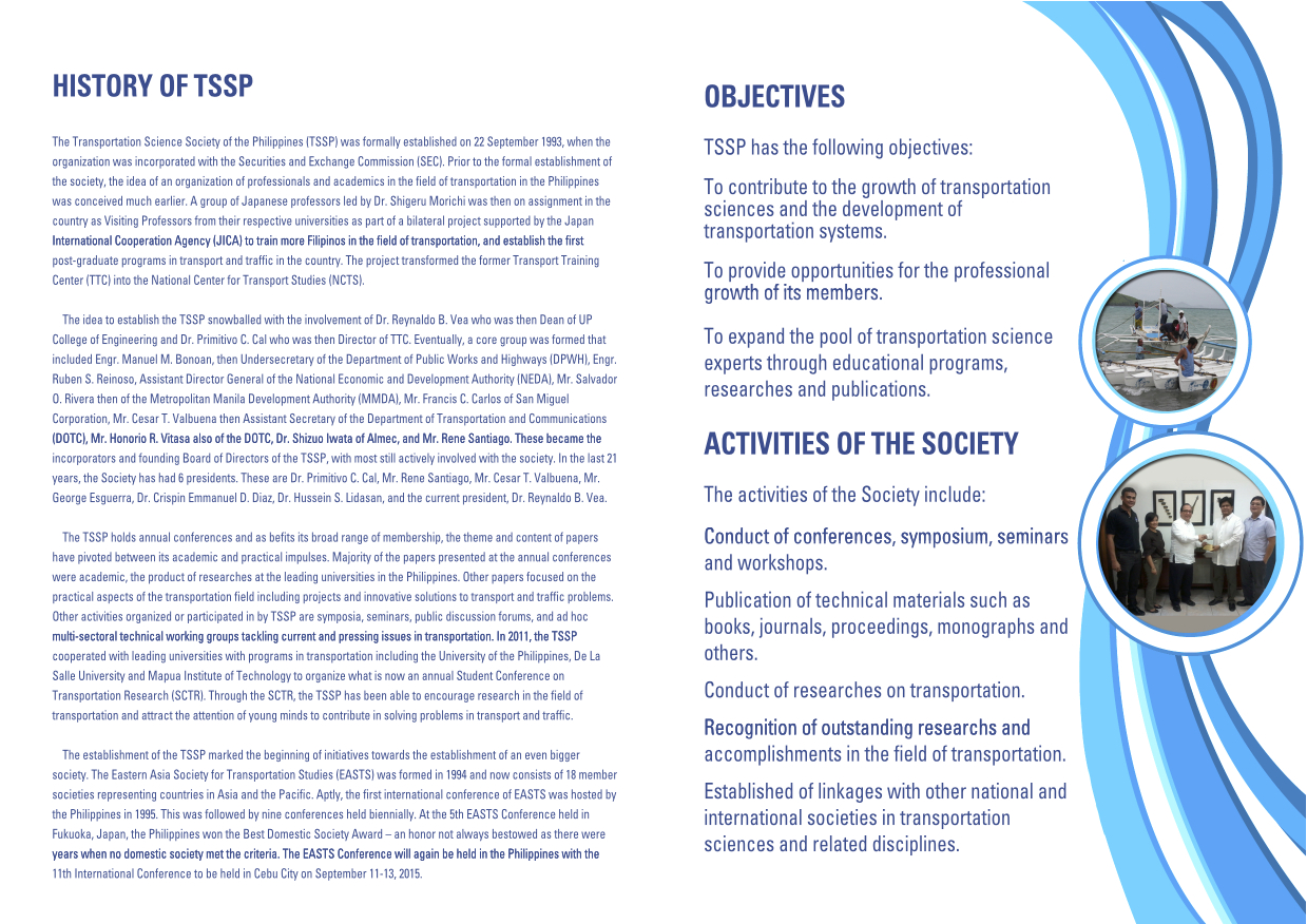
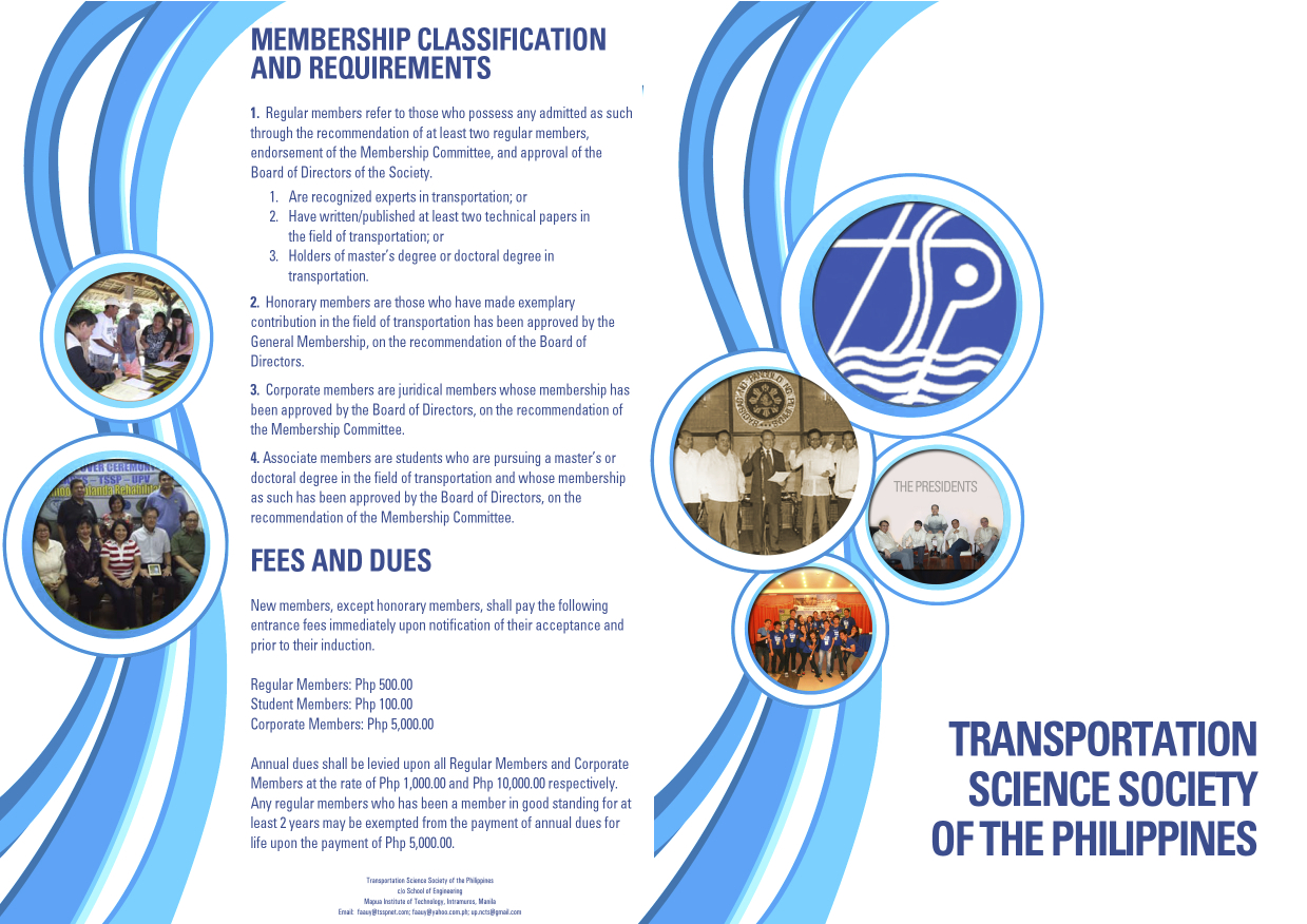
The conference is hosted by the Transportation Science Society of the Philippines (TSSP), which is the local affiliate of the EASTS. More information on the TSSP are found below:
–
SuperCat trips from/to Cebu
I noticed a recent surge in interest in inter-island ferries as people continue to ask us about schedules and fares. Most of these were on past articles here about my trips to Mindoro using a typical RORO ferry (Batangas to Calapan) and a fast ferry (Calapan to Batangas). I have taken ferries along two other routes before (Iloilo-Bacolod and Cebu-Tagbilaran) and have written about the trip between Cebu and Tagbilaran quite a while ago. In a trip to Cebu last June, I remember picking up some brochures while going around and checking out hotels for a conference we are helping organize this September. Among the brochures were information on ferry services to and from Cebu.
 Information on SuperCat fast ferry services between Cebu and Ormor (Leyte) or Tagbilaran (Bohol).
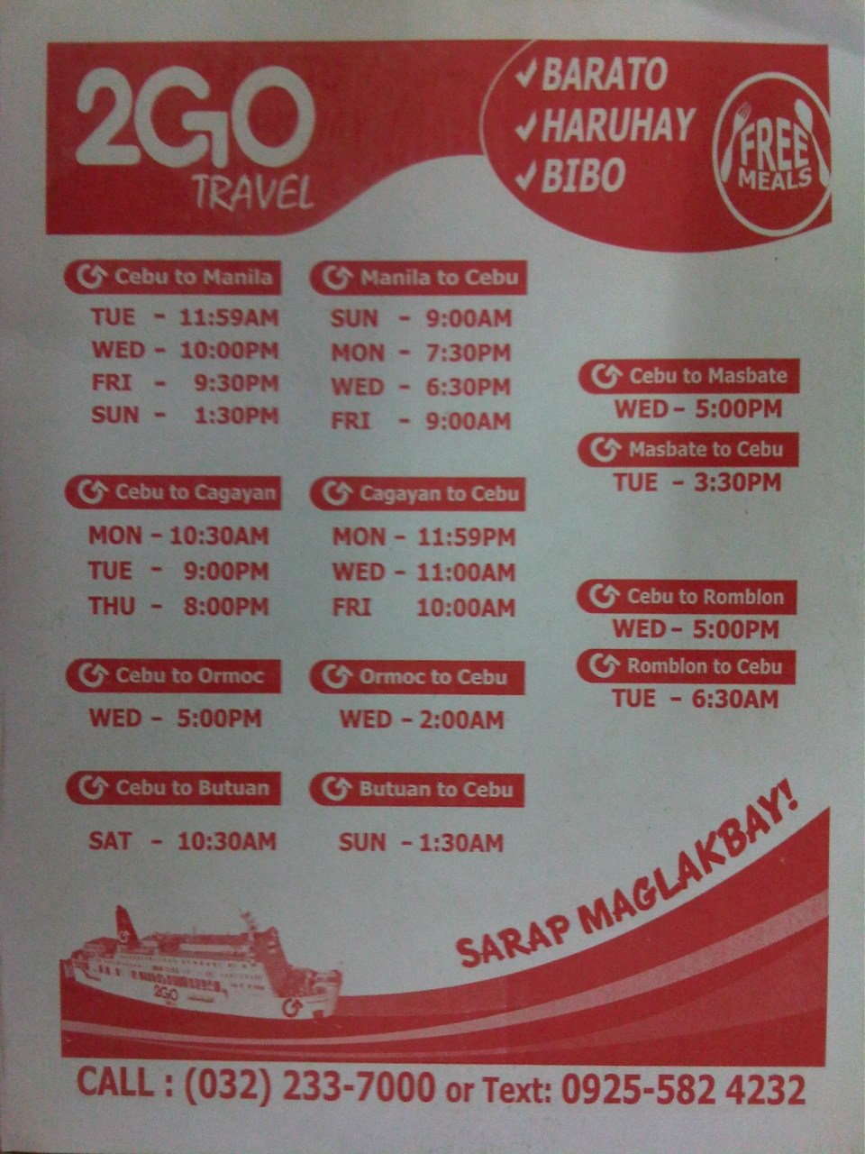 Regular RORO ferry trips between Cebu and many other destinations in Luzon, Visayas and Mindanao
–
Sabang Port – Puerto Princesa
The jump-off point for visitors to the St. Paul Subterranean River (Underground River) is the Sabang Port at the northwest part of Puerto Princesa. Following are photos taken at Sabang including some showing information on transport and procedures for visitors.
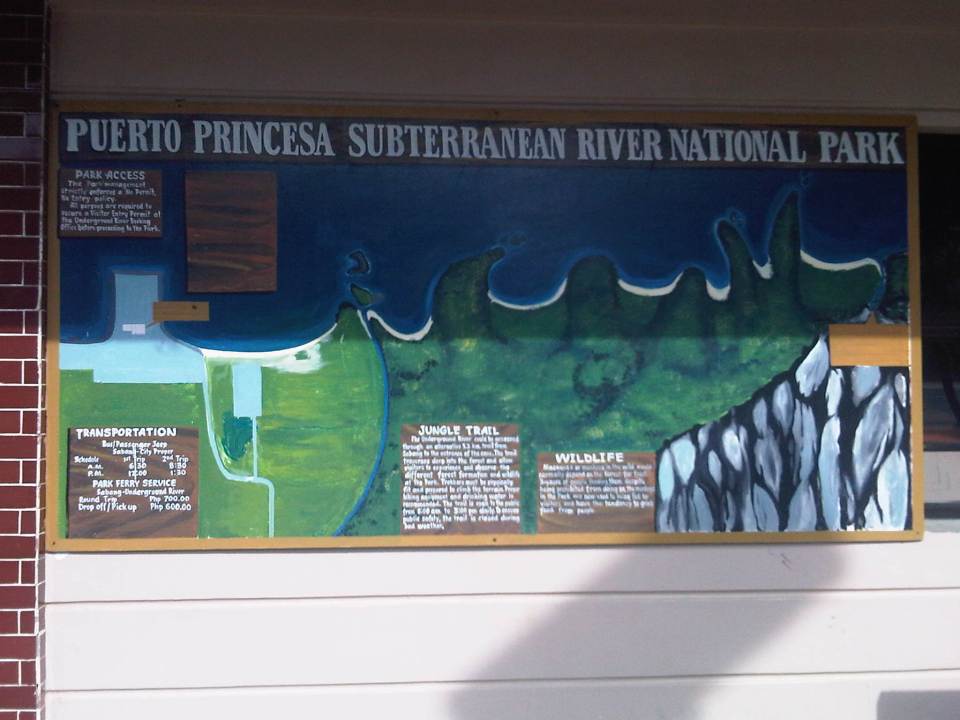 Map of the national park showing some of its features and the transport services to/from the port.
 Information on the management of the national park
 Greetings for visitors
 Puerto Princesa limits the number of visitors to the Underground River and there are procedures for visitors and their accredited guides to follow.
 I caught this scene of children playing football on the sands during low-tide.
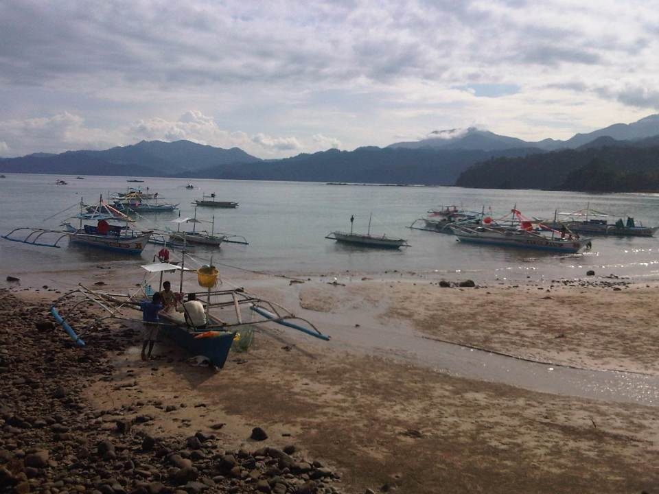 While most boats seem to be for ferrying tourists to the Subterranean River, there are also many fishing boats at Sabang.
 Fishermen fixing up their boat likely before going on a sortie. I could imagine Sabang was like other fishing villages in the Philippines until authorities started promoting attractions like the Underground River. The influx of tourists transformed what was probably a sleepy village into a tourist destination complete with commercial developments like resorts, restaurants and shops.
 Outriggers dot the waters around Sabang Port, their boatmen waiting for their turn to ferry visitors to the Underground River.
 The concrete pier provides a basic but better facility compared to other similar ports around the country. The dispatching of boats is organised and passengers queue in an orderly manner to board the boats assigned to them.
 A boat (left) approaches as another (right) just left, bound for the Underground River.
 Clean restrooms /toilets are a must for tourist destinations. Sayang Port has well-maintained toilets.
 Tourism office at Sabang Port – note the basketball goal post in the photo? The area is also used for other purposes including sports activities. Also noticeable in the photo are street lamps powered by solar energy. We saw some solar-wind power lamps around Puerto Princesa and Sabang’s main road has these for night-time illumination.
 A close-up of the small box showing schedule and cost of transport services to/from Sabang from/to Puerto Princesa city proper. Note that there are only 4 trips per day for public transport (bus or jeepney).
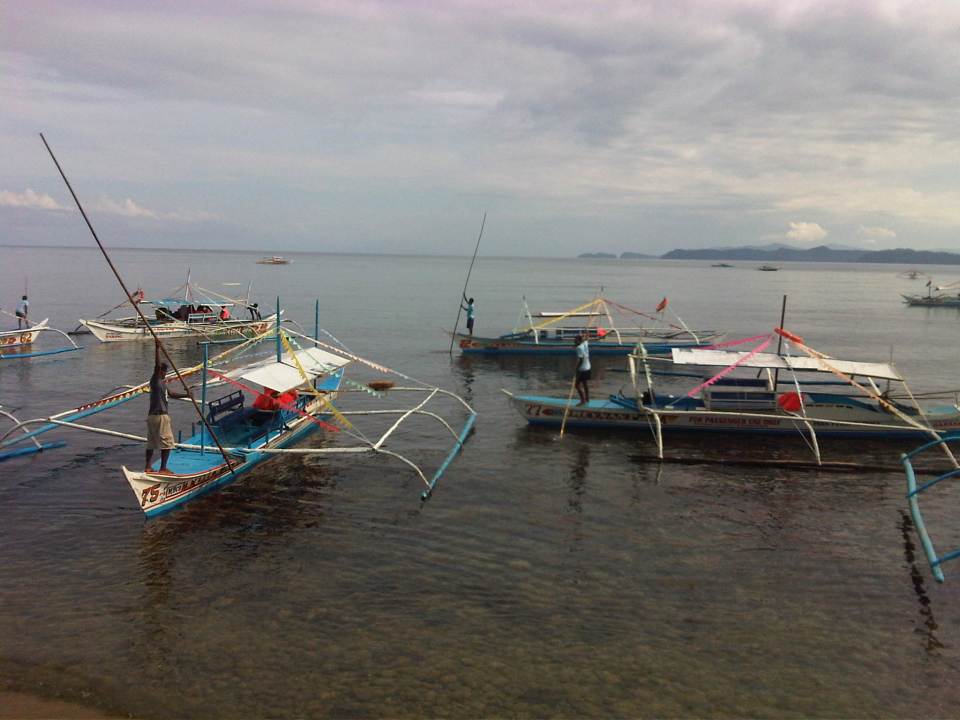 Boatmen manoeuvre their vessels in the crowded waters of Sabang Port.
 Another photo of boats lined up at the port.
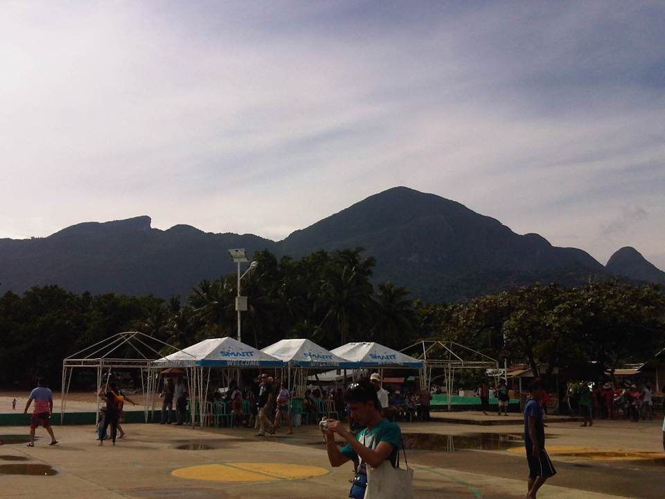 Portable or collapsible sheds or tents at the port often bear the name of the company sponsoring or providing these for port users. Under one, there was a group facilitating the tour of a group of senior citizens from around Puerto Princesa. We got it from our guide that they are given free rides and visits to the Underground River as part of their benefits as senior citizens.
 Visitors get-off from their boats as other vessels queue to unload their passengers. It takes some skill from boatmen to manoeuvre and make sure they don’t collide with other vessels.
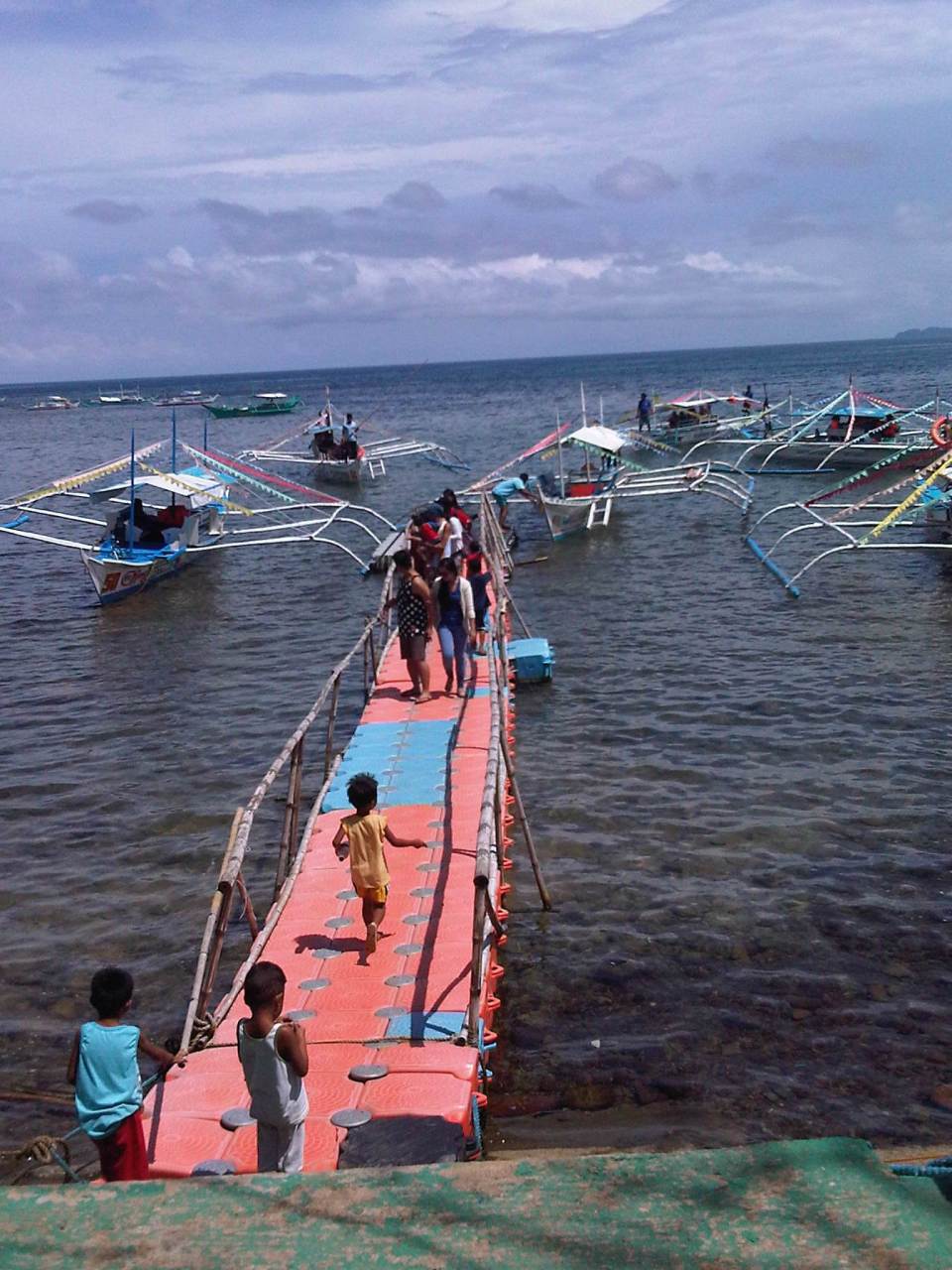 People get off a boat via a makeshift floating jetty
 Scene of the port and boats from the shop and eatery-lined road along the coast.
Advice to tourists: tip your boatmen generously. They serve as your lifeguards and do their best to maintain the boats and the equipment. They don’t get much from ferrying visitors to and from the Underground River and they do have families to feed. Make this tip your contribution to ensuring sustainable tourism in this heritage site that is also considered one of the top natural wonders of the world.
–

