
Home » Traffic flow (Page 6)
Category Archives: Traffic flow
Some relief due to the number coding adjustments?
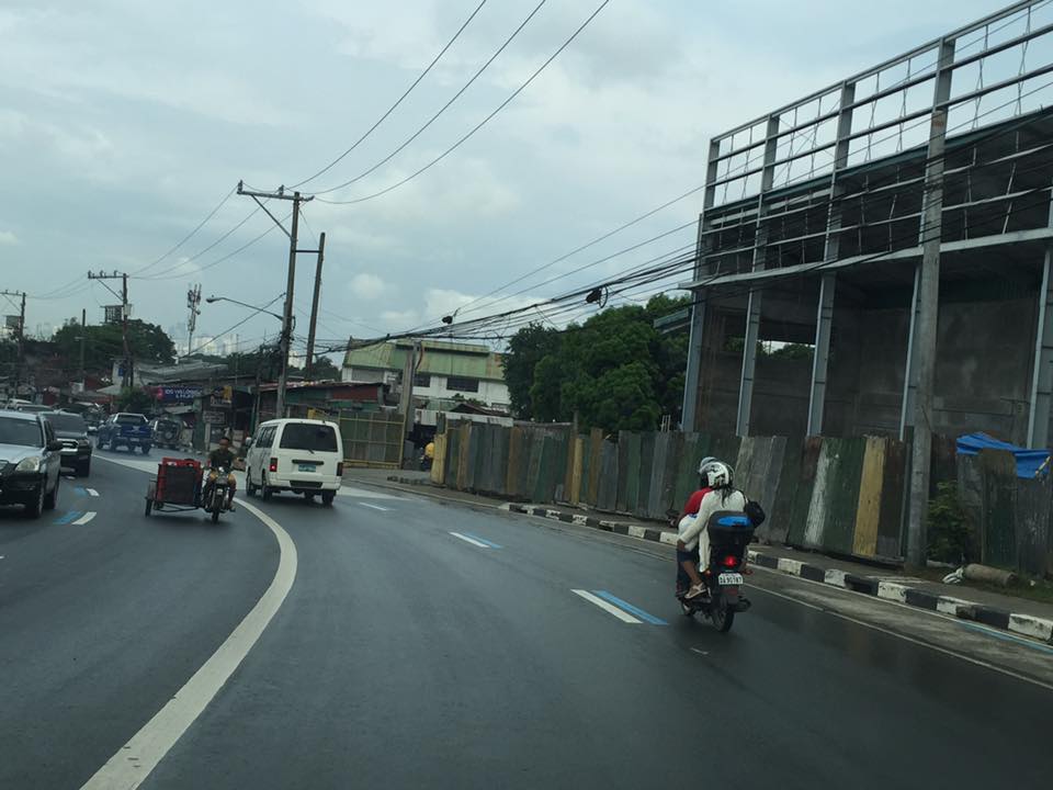
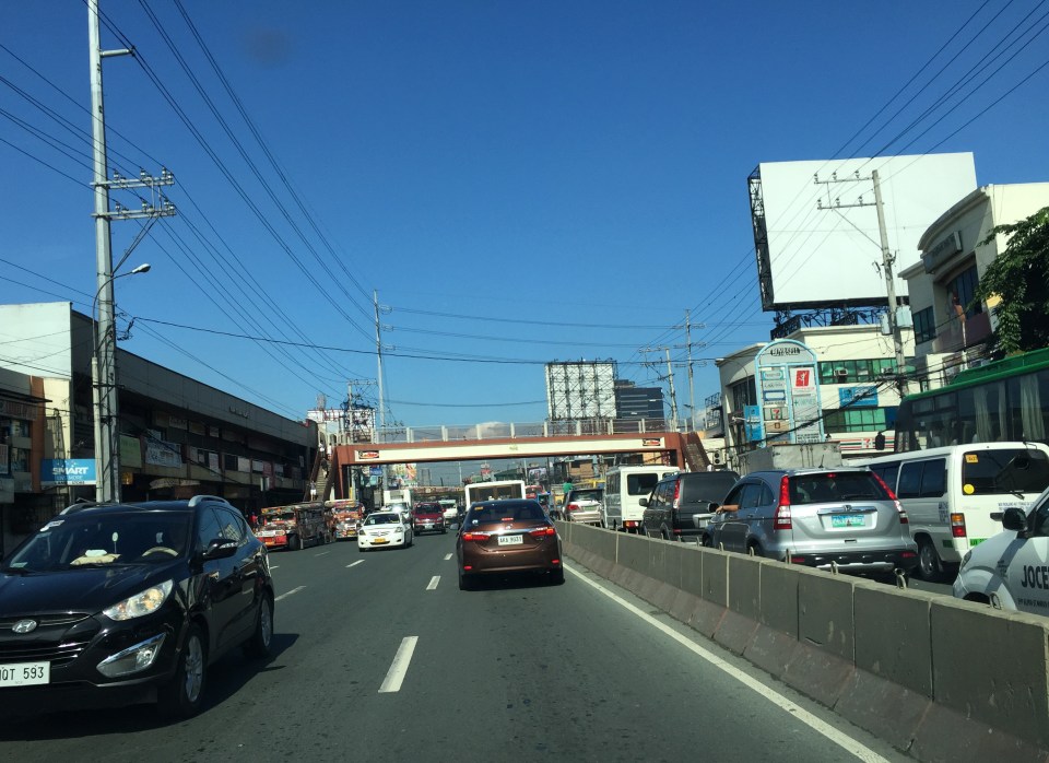
A friend asked me about my commute after the Metropolitan Manila Development Authority (MMDA) had implemented a tweak in the number coding scheme. To those not familiar with the recent adjustments to the Unified Vehicular Volume Reduction Program (UVVRP) or more popularly known as the number coding scheme, the MMDA has recently eliminated the window that was applied to many roads. The 10:00 AM to 3:00 PM window is no more and the MMDA also extended the coding period to 8:00 PM from the old 7:00 PM lifting.
My observation from my personal experience commuting in the mornings between Antipolo and Quezon City is that my travel times have somewhat improved. After Undas, I have enjoyed travel times of 45 minutes to 1 hour during the same morning periods when I choose to travel. This has improved significantly from the 1.5 hours I had spent prior to the adjustment. My usual route was mainly through Marcos Highway so perhaps its not just the coding aspect but also the fact that much of the construction work for the LRT Line 2 Extension have been completed and there have been less obstructions due to this project between Masinag and Santolan. My homebound trips seem to have improved too for the same reasons although not as significant as my morning commute. Another friend has similar observations and is very happy about the big improvements he says he now enjoys considering he has even longer commutes between Antipolo and Manila (Intramuros) or Makati (Gil Puyat).
But generally speaking, is it possible that there are significant positive impacts of the tweak in the number coding scheme? My assessment is that it is very possible and very likely especially if we see it from the perspective of vehicle trip reduction due to the adjustments made in the restraint policy. The number coding scheme is a travel demand management (TDM) measure designed to reduce vehicle traffic through vehicle use restraint. By introducing the coding window many years ago, the restrictions to vehicle travel were in effect relaxed and that encourage more people to use their cars.
The elimination of the coding window means people could not move their times of commute to later than 7:00 AM or earlier than 3:00 PM. It meant people whose vehicles were “coding” had to leave (forced?) early and go home late. Extending the coding period to 8:00 PM probably was probably a back-breaker to many people. And then the difference now compared to the 1990s and decade after that is the availability of the more reliable Uber and Grab vehicles that many car-owners had no option to use before. I’m not a psychologist but perhaps such factors have led to an improvement in traffic conditions. How long this would last shouldn’t be so difficult to tell given the experiences in the past and the fact that population and vehicle ownership continues to rise. Perhaps a year or two if no significant improvements in transport (e.g., mass transit projects) happen.
–
Starting November 14, the MMDA is also supposed to be clamping down (read: stricter implementation) on the motorcycle lane policy along EDSA, C5, Commonwealth and Macapagal Blvd. I’m not so sure how they will be doing this as enforcement along the stretches will require a lot of manpower.
–
Of accomplishments and legacies in transport
My colleagues and I have been talking about accomplishments and legacies. In particular, we had a spirited discussion about what we have been doing in terms of transportation projects that we have been involved in. I think everyone wants to have something physical to remember them by. And these should be positive and constructive and not memories of controversies or anomalies like those in major projects that will be associated with corruption or abnormalities in the processes by which the projects were implemented.
The ‘problem’ with being involved in policy making and planning is that these often lead to outputs such as reports and maybe even laws. If one is lucky enough then perhaps its in the form of a legislation rather than a Department Order. But those legislations and memos often do not acknowledge the people who contributed to its drafting. They will be associated with the politicians (e.g., senators and congressmen) and officials (e.g., secretaries, undersecretaries) who sponsored, co-sponsored or issued them. It will be good to have some sort of evidence to show and prove that you were instrumental in planning, designing and/or implementing a project.
The appointment of a new Department of Transportation (DoTr) Secretary in Art Tugade had me recalling our meeting with him to present the outcomes of our study on a major commercial development at Clark Freeport. He was appreciative of our work and mentioned that Clark had implemented many of the recommendations of the Master Plan we had developed for the Freeport back in 2010. All the major recommendations were implemented during Tugade’s watch at Clark. Following are the most notable ones:
 The Mabalacat Gate and Public Transport Terminal of the Clark Free Port Zone
 McArthur Highway – M.A. Roxas Highway – First Street rotunda
 Clark Freeport main gate
The lead for these projects was Dr. Ricardo Sigua who is the one of the leading transportation engineers in the Philippines and currently the Director of the Institute of Civil Engineering of the University of the Philippines Diliman. He is also the head of the Road Safety Research Laboratory of the National Center for Transportation Studies where he is also a Research and Extension Fellow. Others involved in these projects were Dr. Karl Vergel, Dr. Noriel Christopher Tiglao and Dr. Jose Regin Regidor, all from UP Diliman and affiliated with the NCTS.
–
Motorcycle lanes along Sumulong Highway?
I noticed something along my commute and that is the newly marked pavement along Sumulong Highway at the section in Barangay Mambugan until Barangay Mayamot at Masinag Junction. I guess this is more likely part of Antipolo City’s initiative in managing motorcycle and tricycle traffic. In a meeting with the City Administrator, Robert Nacianceno, last year, he said that the city was moving towards improving road safety. That included addressing concerns about tricycle and motorcycle operations that has led to crashes and congestion. Motorcycle lanes designated by blue pavement markings are not new and likely was inspired by the MMDA’s initiatives along major roads in Metro Manila.
 Motorcycle running along the designated lane
 The blue markings are present along both sides of Sumulong Highway
The real challenge with these motorcycle lanes would be on the enforcement. That is, how would the city be ‘encouraging’ motorcyclists and tricycle drivers to stick to the outer lanes of the highway. Such would require a tremendous effort for the city as they will definitely have to apprehend erring motorists and also clear the designated lanes of obstructions. Should this program be successful along Sumulong Highway, perhaps they should consider the same for Marcos Highway.
–
On weather and traffic
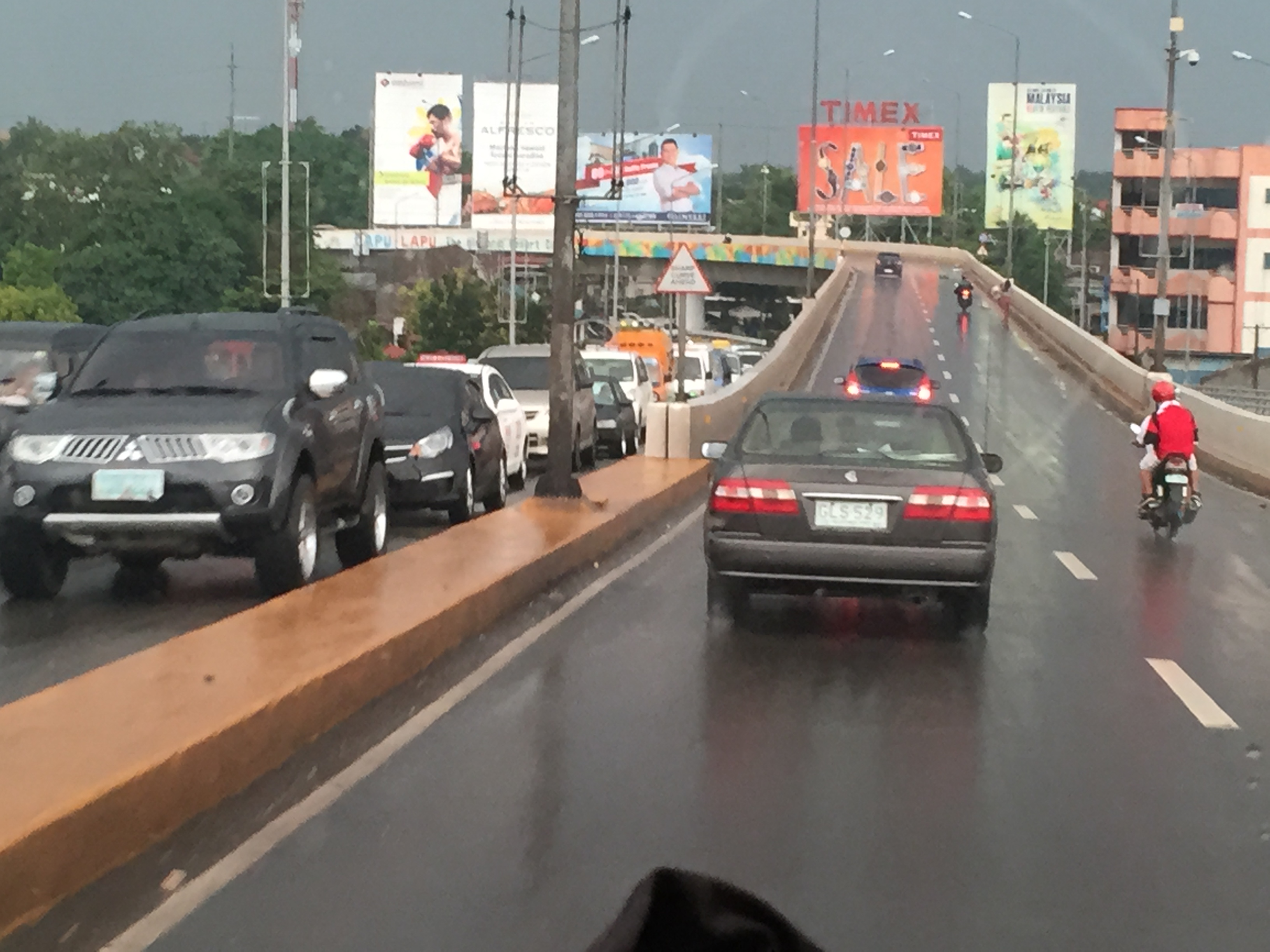
With the onset of the wet season, heavy rains have reminded us how terrible commuting can be especially in Metro Manila where public transport services are much wanting in terms of quality. But whether you are driving or riding, using private or public transport, there is always something about the rains that make you feel uncomfortable. Metro Manila’s roads are becoming more and more notorious for flooding and I guess that goes the same with many other roads in other cities as well. Drainage is almost automatically blamed but closer inspection of the cause of flooding shows even the newest drainage systems being unable to accommodate rain waters in part due to their being clogged (by garbage, mud and/or other stuff) or having inferior design for intense rains. With extreme weather now becoming the norm, that is not a good thing especially with what is perceived as poor maintenance of our waterways and road drainage systems. Just look at how overpasses get flooded everytime the rain pours; causing traffic congestion that could have been averted if only we can weather-proof our roads to a certain extent.
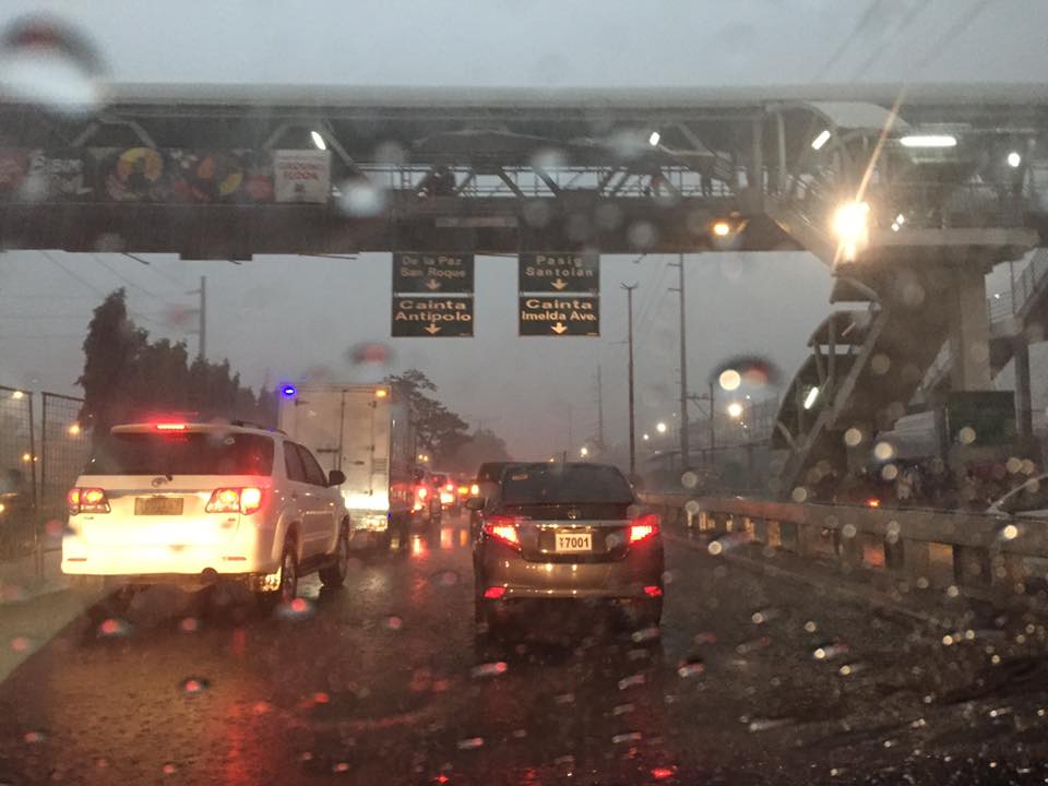
Low visibility even during the middle of the day plus slippery pavement surfaces due to heavy rains can cause congestion and lead to unsafe conditions for traveling. The latter outcome is even worse during the night and, in higher elevations, when you have fog to add to the complexity of the environment you are traveling along. Aside from travel time, nothing more serious like life or limb can be lost by practicing safe driving whenever it is raining hard. That includes slowing down, turning on your lights (for visibility) and refraining from undertaking risky maneuvers. Pedestrians and cyclists, too, need to take more caution knowing the higher risks they face or are exposed to when traveling under inclement weather conditions.
–
Bicycle traffic in comparison with motorised vehicle traffic – a case in Iloilo City
I believe that there is a need to have numbers to guide planners and engineers in designing suitable bicycle facilities. It is not enough to claim there is demand since an important requirement for facilities to be provided (i.e., funded and constructed) are numbers for the facilities’ justification. You don’t build mass transit systems, for example, without a valid estimate of ridership. For one, the ridership allows for the determination of revenues. Roads cannot be built without at least a number like the population of communities that will be given accessibility via that road.
Not too long ago, we were able to obtain traffic counts for the Benign S. Aquino Avenue that is also knows as the Iloilo City Diversion Road. The road includes an exclusive bikeway constructed along its airport-bound side that is supposed to benefit cyclists and encourage more people to use bicycles for commuting within the city and between the city and towns along the national highway. The following figures show the AM and PM peak hour traffic at the intersection of the diversion road and Jalandoni Street across from SM City Iloilo. Another figure shows 16-hour traffic at the same location.
 Fig. 1 – AM peak hour traffic along the Iloilo City Diversion Road including bicycle traffic along the exclusive bikeways constructed along the airport-bound side of the highway.
 PM peak hour traffic along the Iloilo City Diversion Road including bicycle traffic along the exclusive bikeways constructed along the airport-bound side of the highway.
 16-hour traffic along the Iloilo City Diversion Road including bicycle traffic along the exclusive bikeways constructed along the airport-bound side of the highway.
The numbers clearly show the current low volume of bicycles along the bikeways in comparison to motor vehicle traffic. Since bicycles are also presumed to carry only 1 passenger per vehicle, then the volume also translates into an even lower share in terms of mode of choice by travellers/commuters. For comparison, jeepneys will likely carry an average of 14 passengers while cars may have an occupancy of 1.5 passengers per vehicle. Perhaps a more direct comparison can be made with motorcycles, which are two-wheeled vehicles like bicycles. Only, motorcycles may typically carry 2 passengers.
I am aware that at least one NGO is employing crowd-sourcing in order to obtain bicycle traffic counts along major corridors. Neither the MMDA nor the DPWH have bicycle counts with both agencies’ traffic counts only covering motorized vehicles. Few, if any, local government units would have their own bicycle traffic counts (Perhaps Marikina has data of bicycle traffic in their city that is well known for having the country’s first and most comprehensive bikeways network?). As such, there is generally a dearth of useful data for planning bikeways. One option that advocates for the “if you build it, they will come” approach is not something that is applicable to many cases especially those that do not yet require exclusive bikeways. The folly is to allocate funding for facilities that will not be utilised by their proposed users.
–
Will a flyover at Katipunan-C.P. Garcia solve the traffic problem in the area?
I read a news article about the proposal by the Department of Public Works and Highways (DPWH) to construct a left-turn flyover at the intersection of Katipunan Avenue (C5) and C.P. Garcia Avenue in Quezon City. The flyover is supposed to be for vehicles turning left from the northbound side of Katipunan to C.P. Garcia Ave., which goes through the University of the Philippines Diliman
Will the flyover solve the traffic congestion problem in the area, particularly at the intersection and Katipunan in general? I would say no, it would not solve the congestion problem both for the intersection and for Katipunan. This assessment is due to the following reasons:
- The overpass does not address the root cause of congestion in the area, which is trip generation related. There are many major trip generators along Katipunan alone including three major schools (UP, Ateneo and Miriam) and a mall (UP Town Center). Add to this the traffic generated by the high density residential developments along Katipunan (notice the high rise condominiums lining up across Ateneo and Miriam?) and the through traffic coming from various areas that use C5’s Katipunan section.
- Congestion is caused by saturated intersections corresponding to Ateneo Gate 3 and main gate of Miriam College. Traffic going in and out of these schools are favored over through traffic along C5 resulting in congestion in the area. Perhaps it would be more appropriate to build overpasses to bypass these intersections.
- Congestion is caused by vehicles bound for and coming from the UP Town Center. The congestion due to traffic generated by the commercial development is actually alarming considering it is not yet completed and trips attracted and produced is not yet at full potential.
- The heaviest flows at the Katipunan-C.P. Garcia intersection are along Katipunan (northbound and southbound through traffic). Logic and traffic engineering principles point to grade separation to be more appropriate for such traffic and NOT for the left turn movement. A flyover should also be able to bypass UP Town Center as vehicles bound for the mall already blocks traffic along both sides of Katipunan and directly affects the intersection.
I think the DPWH should do well to re-assess their proposal along the lines of the reasons I have listed here rather than continue with the folly of building a left turn overpass alone. UP Diliman should also resist this overpass as, based on the news article, it would mean UP giving up some 8,000 square meters of its property for the project. UP already has given a lot for widening C.P. Garcia but that goes without saying that a through flyover might also require UP to give up property and particularly from its National Science Complex for such a project.
–
Causes of congestion – road crashes and shockwaves
I noticed that a previous post on common causes of congestion is popular among those who read this blog. The causes mentioned there focused on the lack of discipline among pedestrians and motorists. Their behaviour (e.g., commuters standing in the middle of the road to get a jeepney or UV Express ride, jeepneys and UV Express stopping in the middle o the road to load/unload passengers, etc.) often lead to congestion as they effectively reduce road capacities.
Another major cause of congestion are road crashes. They don’t have to be fatal crashes as the road capacity reduction caused by stopped vehicles is enough to cause congestion along the road including traffic along the opposite direction. The latter phenomenon, if we can categorise it as such, is due to the inquisitive nature (i.e., uses) of people. Traffic approaching the crash site typically slows down as drivers check what happened. Following are some photos I took as we approached a crash site atop the Marcelo Fernan Bridge connecting the Islands of Cebu and Mactan. Note the build-up of vehicles behind the crash involving 3 vehicles.
 Road crash involving 3 vehicles in the middle of the Marcelo Fernan Bridge in Cebu
 The resulting congestion behind the crash site
 Another view of the vehicle buildup upstream of the crash
Such events are typical causes of congestion and can actually be analysed using traffic flow theory involving waves in traffic. A generally normal flow of traffic (before the incident) is disturbed by the crash, which is assumed to be an isolated event. This results in a change in the traffic characteristics (flow, speed and concentration of vehicles) triggering a shockwave. The shockwave moves backwards and manifests through the chain reaction of drivers hitting their brakes in succession to slow down due to the incident. As such, it is possible to determine how long the build-up of vehicles would be upstream of the incident location.
–
On the Ortigas Avenue counter-flow scheme again
Here are some more recent photos of the morning traffic congestion and counter-flow scheme along Ortigas Avenue. The counterflow scheme starts at the approach to the Manggahan Channel Bridge and ends at the approach to C-5 right after the Rosario Bridge. This counter-flow scheme has been used by Pasig, as far as I can remember, since the early 1980s. Ortigas Avenue is one of those roads where the directional distribution of traffic very pronounced for the peak direction.
 Vehicles crowding towards the counter-flow lane on the eastbound side of Ortigas Avenue. Traffic along this lane is moving, unlike the standstill you will likely experience along the westbound side. This is particularly true at the bridge where buses and jeepneys occupy two lanes and stop for long periods to get passengers. Congestion is exacerbated by vehicles coming out of the residential development in the area. Pasig and MMDA traffic enforcers fail miserably at their duties here. Perhaps this is a job for the PNP-HPG?
 The effort of positioning towards the counter-flow lane is worth it as traffic moves faster here. The argument for counter-flow lanes (or zipper lanes as they are also called) is based on the availability of capacity along traffic lanes of the opposing direction that can be used to optimize utility of these unused lanes (i.e., off-peak direction) by peak traffic. This is a classic transport systems management scheme directed towards efficient and optimum use of existing facilities.
–
Proposals for EDSA and some alternate roads
The hellish traffic congestion along EDSA and other roads in Metro Manila spawned a bunch of ideas for alleviating congestion. Among those that were offered as solutions are the following:
- Odd-Even Scheme – suggested by the Philippines President himself in a speech delivered in Mandaluyong City
- Car-pooling (and HOV lanes) – suggested by the DPWH Secretary in another forum
- Bus Rapid Transit (BRT) and/or express bus – proposed and being studied by the DOTC
What seems to have been forgotten was a proposal to have two lanes of EDSA, one on either direction, devoted to bicycles. This proposal now seems to be the most viable compared to the above three and could have the potential for major behaviour change towards a departure from motor vehicle use. Cycling along with walking does not require fuel and these modes also promote healthy lifestyles. Also, this could become the ultimate example for road diets, which can also be applied along other roads as well. What sounds or reads like an outrageous idea (i.e., bicycle lanes along EDSA) might just be revolutionary and result in what could be a tipping point for sustainable transport in the midst of traffic mayhem.
EDSA has become the proverbial battleground representing the war with traffic congestion. However, EDSA is just one part of our arterial network comprised of circumferential and radial roads. There is also C-5 (also known for its sections – Katipunan, E. Rodriguez, C.P. Garcia), which is also a very congested road but along which there are few fixed route public transport services. It is a primary alternative route (to EDSA)for people traveling between the northern and southern halves of Metro Manila. It also serves as a collector and distributor, being connected with major radial roads like Aurora Boulevard, Ortigas Avenue and Shaw Boulevard as well as to the South Luzon Expressway. C-5 is a major truck route, however, and so carries a lot of heavy vehicles during the permitted times under the truck ban scheme being implemented in Metro Manila. C-5 is already ripe for a mass transit system and should have one along it. The quickest to put up would be a bus system on exclusive lanes. Strategically though, a rail transit line (likely elevated) should already be planned and implemented and with as seamless as possible connections to current and future lines along major corridors.
There are other routes that can be considered which I think have been overlooked (too much focus on EDSA?). C-6, for example, badly needs to be improved and this has started but is being implemented at a slow pace. This could have significant positive impacts on traffic coming from the east (towns of Rizal province) that are bound primarily for Makati and BGC. But then there also has to be a good road bypassing the narrow and already congested streets of Taguig and Pateros that are currently the only roads connecting C-5 and C-6. The roads on the Rizal side (attention: Cainta and Taytay) also need to be improved including Highway 2000 and the Barkadahan Bridge. Perhaps the Rizal Provincial Government should also get involved in this as such routes are in the best interest of Rizalenos. And then there is also the highly urbanized city of Antipolo that is a major destination and already is the 7th most populous city in the country, whose residents also use this route, which is often a faster option to Ortigas and C-5 despite the poor conditions of roads.
–
Consultation on EDSA decongestion – September 24, 2015
There will be a public consultation tomorrow entitled “EDSA Decongestion Consultation” at the GT Toyota Auditorium at the Asian Center of the University of the Philippines Diliman from 1:30 – 3:30PM. The consultation will tackle transport and traffic in Metro Manila but particularly along EDSA. The consultation will be facilitated by the TWG headed by Sec. Almendras who is the cabinet secretary put in-charge of addressing (solving?) the traffic mess in Metro Manila. The TWG includes DPWH, DOTC, DTI, MMDA, LTO, LTFRB, and the PNP-HPG.
This would be a good venue for stakeholders to articulate their concerns as well as offer their ideas towards alleviating transport and traffic problems. Invitations are supposed to have been extended to academic institutions, transport groups and other interested parties. Hopefully, this event will be a productive and constructive one. Pointing fingers and playing the blame game will not get us anywhere.
–
