
Home » Posts tagged 'commuting'
Tag Archives: commuting
More flash floods due to intense downpours
Yesterday’s commute to our home was much longer than usual. It took us around 2 hours to get home even after leaving our office around 6PM. We experienced the wake or aftermath of congestion caused mainly by the flash floods and electrical damage to the LRT Line 2. The flash floods were caused by the intense rains after noon time. Floods were reported around Metro Manila but the one that ultimately affected us were the flood along Ortigas Avenue Extension near the Valley Golf gate. A long stretch was impassable to most vehicles. Our daughter got home 2.5 hours after her school dismissal when it usually only took around 1 hour on typical mid afternoon traffic along that corridor. The route we took home via Marcos Highway was affected by so many passengers getting stranded by the Line 2’s suspension of services between Santolan and Antipolo Stations. People occupied the traffic lanes of Marcos Highway as they positioned themselves to get to the next available jeepney or bus. Many chose to walk towards Ligaya and even Sta. Lucia Mall where many jeepneys bound for Rizal towns turnaround.
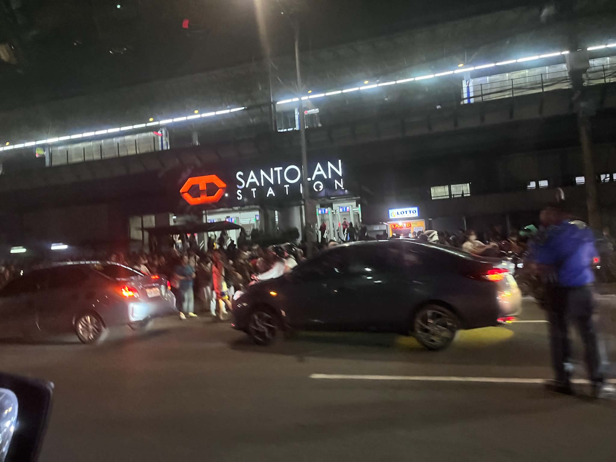 Line 2 suspended operations between Santolan and Antipolo Stations due to electrical damage sustained after a lightning strike damaged the catenary that transmitted power to the trains.
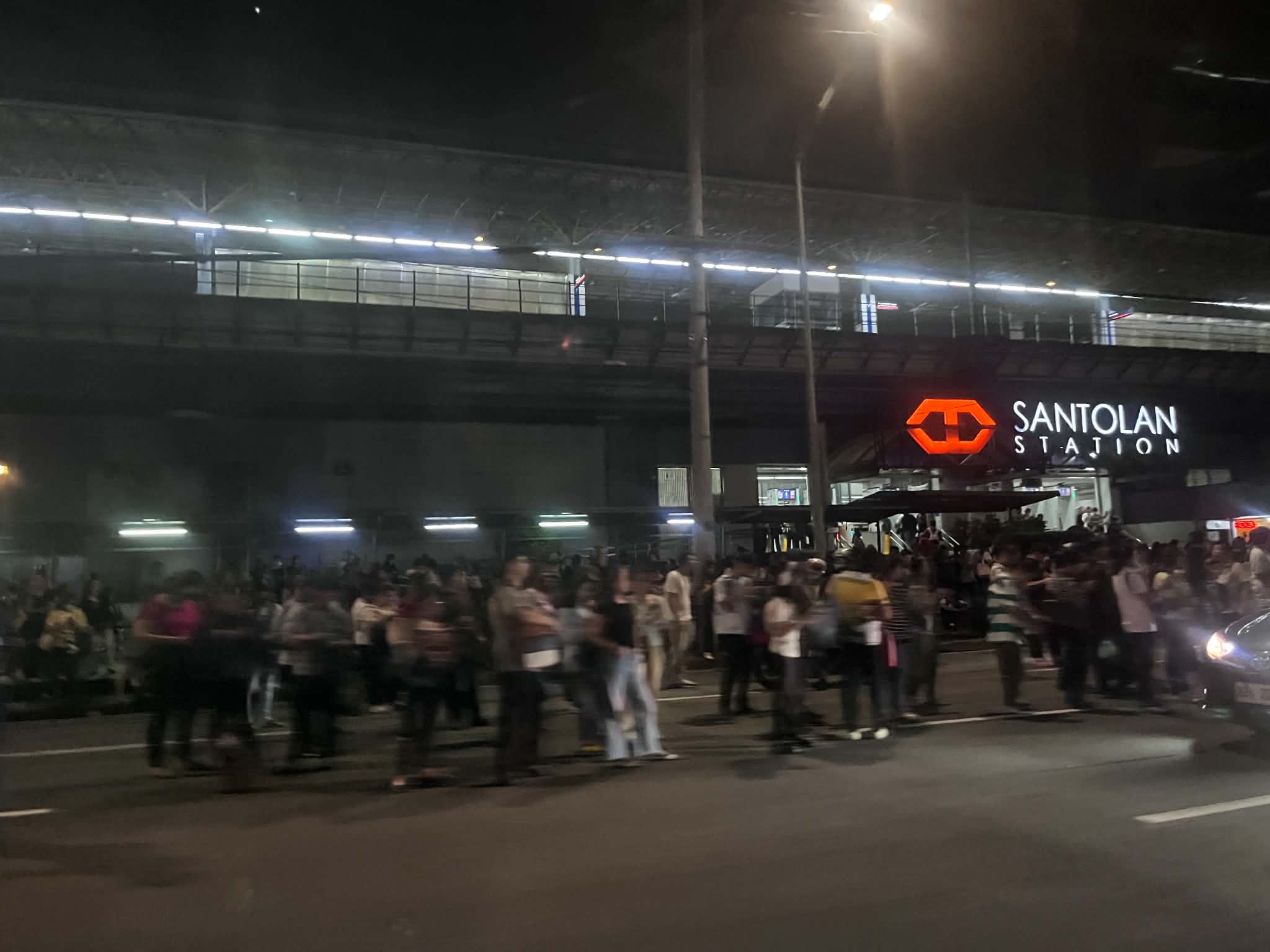 Passengers occupied the traffic lanes of Marcos Highway; many already tired from a day’s work or school. LRTA did not seem to have a plan or protocol to address such situations. Perhaps a call to bus companies or even the MMDA and LGUs like Antipolo, Cainta, Marikina and Pasig could have alleviated the situation of commuters? Antipolo did send vehicles to ferry passengers but they were not enough for the demand. These are exactly the situations that make public transportation unattractive to many people.
I hope we’ve (read: authorities including national and local governments) learned from this year’s weather-related problems and will address these so we can have less disruptions and losses in the coming years. It is predicted that we will have an intense El Niño so that means a long dry spell and also hotter days ahead. Perhaps nature’s message this year is that there’s enough water (from rain) and she is challenging us to come up with a system and facilities that will retain such amounts of water for the dry seasons?
–
On preaching on public transport
I’m sharing this interesting article about a preacher who was asked to stop by commuters in a train in Sydney, Australia:
Why an Entire Sydney Train Turned Against an American Preacher
I suddenly remember similar instances when I was in high school and then as a university student. Some of the buses I rode on my commutes were boarded by preachers. I recall that people just didn’t mind them especially when they finished preaching and started asking for donations. I don’t remember anyone shouting or calling out the preacher to stop. Everyone was just silent and not minding the talk though I’m sure there were those who felt uncomfortable with the situation. Perhaps it’s just Filipinos being kind despite what may be regarded as an intrusion or disturbance. Fast forward to the present and there was a recent incident on a train where passengers made it clear they didn’t want to be evangelized in that way. That’s a complete reversal from my college days in the early 1990s. What do you think? Is a public transport vehicle such as a bus or train an appropriate venue for preaching? Or was/is there a violation of personal space here?
–
U-turn due to inclement weather
I was on my way to the office this morning to check on our buildings and get some lecture materials. I had to go back as the intense rains immediately flooded the roads along the way.
Here are some photos this morning on my way to UP and when we turned back:
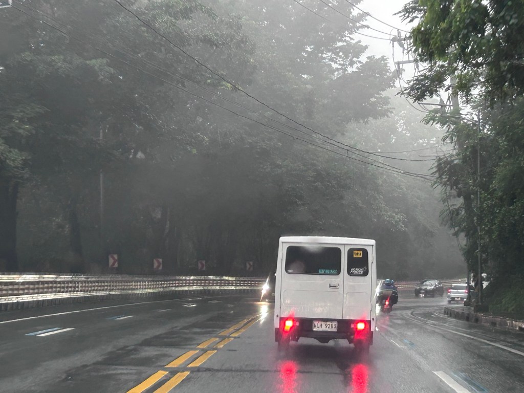
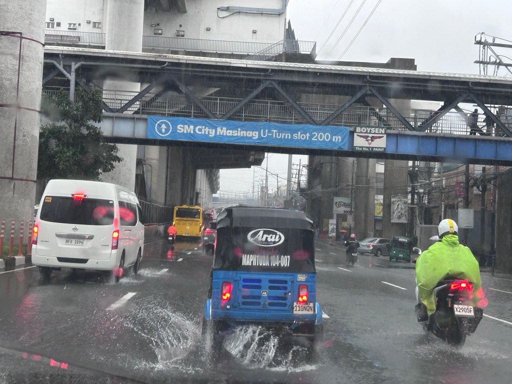
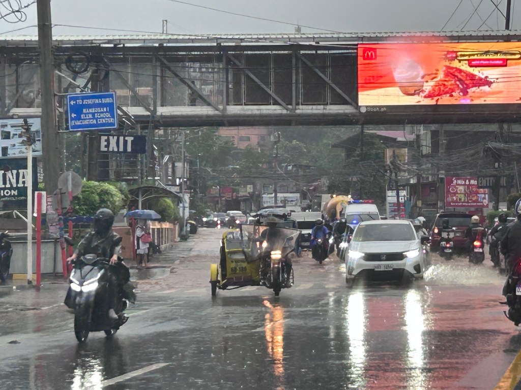
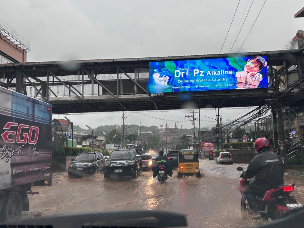

Malacanang has again suspended F2F classes and government offices have been advised to be alternative modes of operations. Is this the new normal when we have inclement weather? Are we supposed to be adjusting again and expected to be resilient in these times?
–
Commuting through floods
Yesterday’s rains were catastrophic. Reports stated that a week’s rains fell over a period of 2 to 5 hours, depending on where you were in the Mega Manila area. The resulting floods provided misery to people in flood-prone areas as well as those who had to go through the floods on their commutes to their homes. Here are photos from my commute going home yesterday. I relied on Waze for the shortest travel time and the app took me to flooded areas in Cainta. Perhaps it assumed my vehicle can safety navigate the floodwaters?
 Flooded street in Gruar Subdivision in Cainta, Rizal
 Flooded A. Bonifacio Avenue in Cainta, Rizal towards Taytay, Rizal. This is the main avenue through the heart of Cainta.
 Flooded streets in the area leading to Hunters ROTC Street. These residential areas are prone to flooding and children commonly play in the floodwaters – certainly at risk from getting sick from whatever it is in the waters.
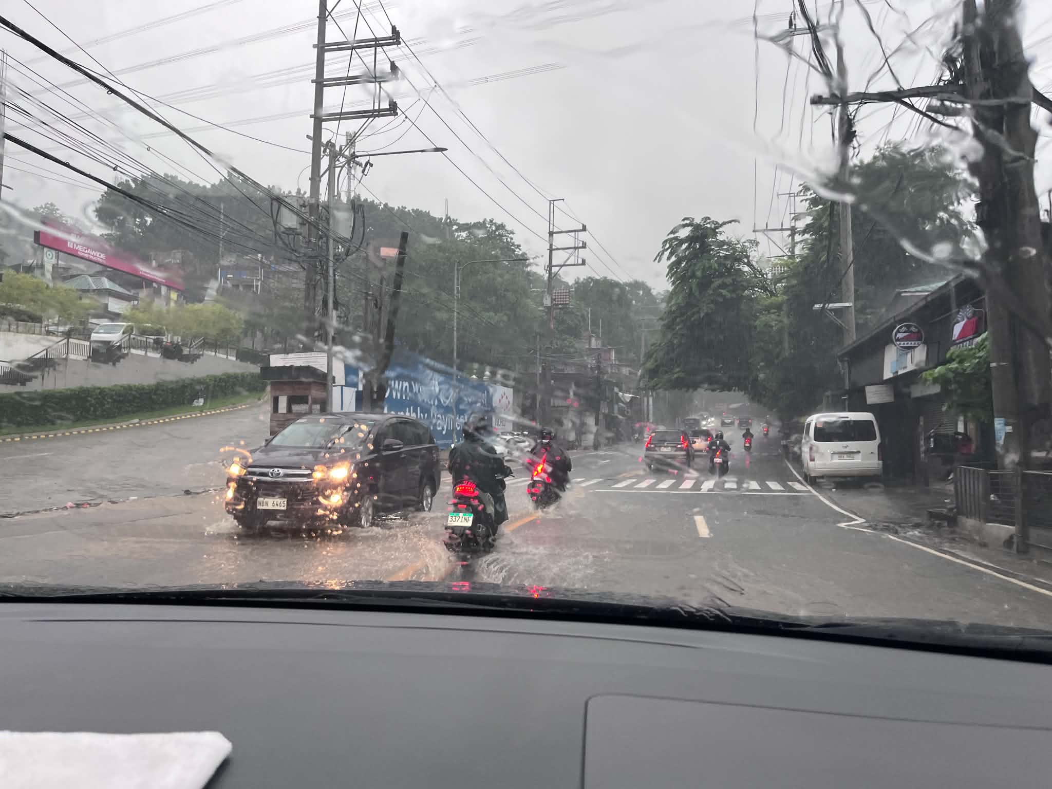 This is Ortigas Avenue Extension and on the way up to Antipolo. This area wasn’t flooded before and residents attribute the floods to the high-rise residential buildings and commercial development in the area. That’s actually a lot of run-off not absorbed by a drainage system that’s supposed to have been constructed with the developments. Did the local government of Taytay, Rizal make an evaluation of this before approving the projects?
Is there an end to this flood problem? Are the solutions really being implemented or, as we’ve learned the past so many months, are we being taken for a ride by our so-called leaders and agencies that are supposed to address these problems. People are supposed to be tired of the resilience story being peddled by politicians but the clamor seems to be in social media only and the real people who are lobbying for solutions have to contend with trolls who are also peddling their own narrative for their masters.
–
Travel time maps for Antipolo City
Yesterday, we facilitated a workshop for Antipolo City where technical staff of the city presented on the outcomes of various activities related to the formulation of a Sustainable Urban Mobility Plan (SUMP) for the city. One interesting output from one of the groups is this map showing the travel times within selected driving times with the destination being the Antipolo Shrine (“Antipolo Simbahan” if you will refer to the PUV signboards of those plying routes to Antipolo). The maps are the equivalent of travel time contour maps that can be generated with travel speed or travel time data.
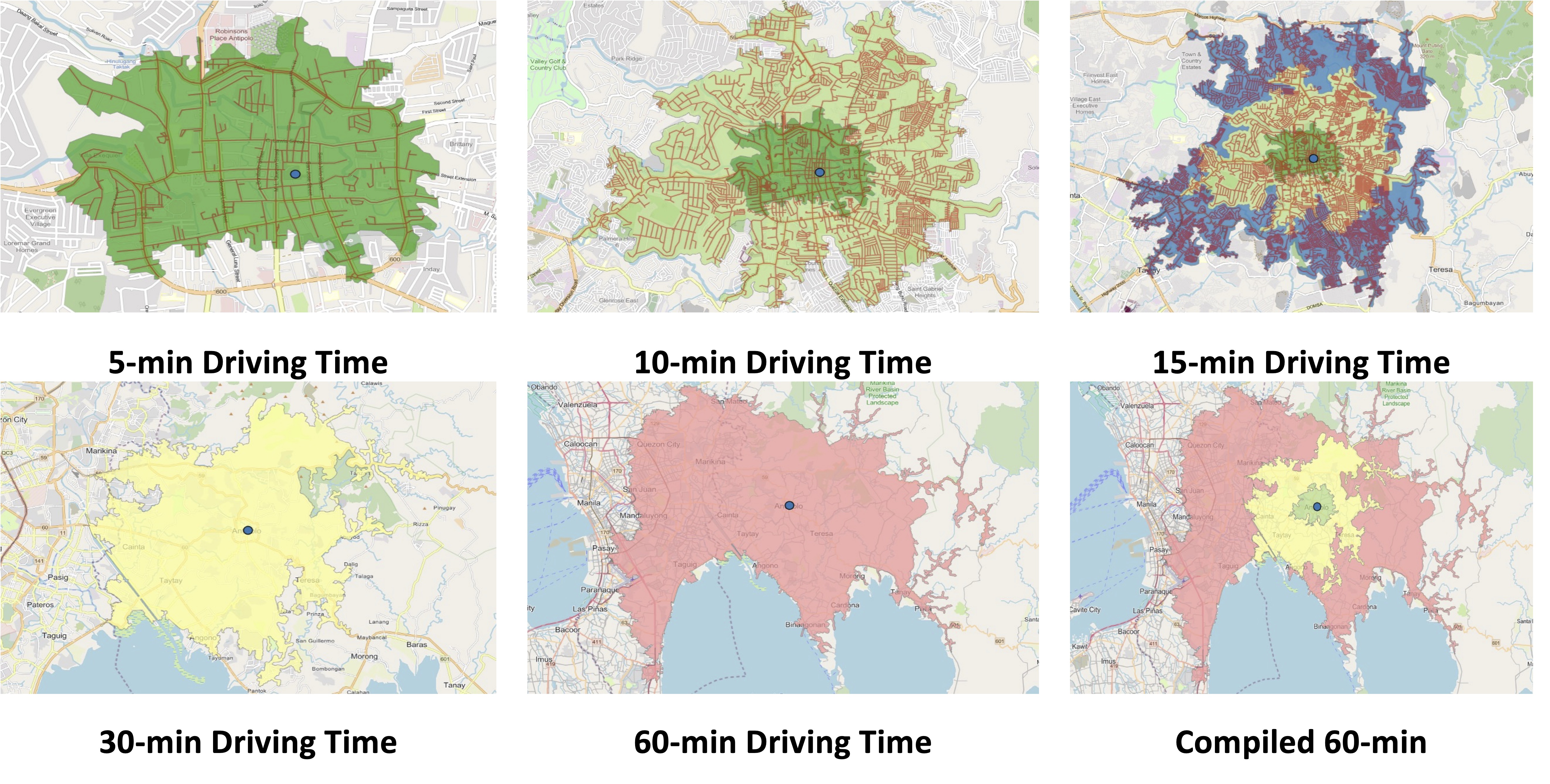
While shown are driving times and assuming car use, similar maps can be produced for public transportation, motorcycles, bicycles and even walking. It is just a matter of collecting the data and plotting them. Alternatively, the data can probably be obtained or derived from sources like Google Traffic or Waze. Some effort, of course, is required in order to have more accurate maps especially considering the road network and traffic circulation. Note that the travel times indicated are also centered on the Antipolo Shrine, which for presentation purposes was used to represent the center of the city. Other maps can be produced in aid of planning travel and transportation for the purposes of the city (e.g., how long it takes between Antipolo and Cubao for a regular commute, etc.).
–
How about a pop-up BRT along Commonwealth Avenue?
I posted this map on social media showing a possible route for a pop-up BRT (Bus Rapid Transit) along Commonwealth Avenue. This was inspired by the reports this week of the horrendous experience of commuters along this corridor due to the current fuel crisis. It seems that a lot of people have reduced their use of private vehicles in favor of what they thought was adequate public transportation only to find out how lacking the supply was.
While this route can be extended (all the way to Fairview via Regalado, for example), I think the one in the map below would be able to capture a majority of the commuters along the corridor with the end at Dona Carmen being a drop-off/pick-up area for those residing to the north. Quezon City Hall and the Elliptical Road is a no-brainer since the Quezon City Bus service terminates here and people can transfer to one of the other lines that will allow them to travel elsewhere covered by the bus network. Quezon City or DOTr can lease buses and come up with a service contracting scheme to sustain operations. The idea is to first run this pop-up BRT while the crisis in Iran is ongoing. Data collection and assessments should coincide with this to refine the service and perhaps, make recommendations for sustaining this service at least until MRT 7 gets online.
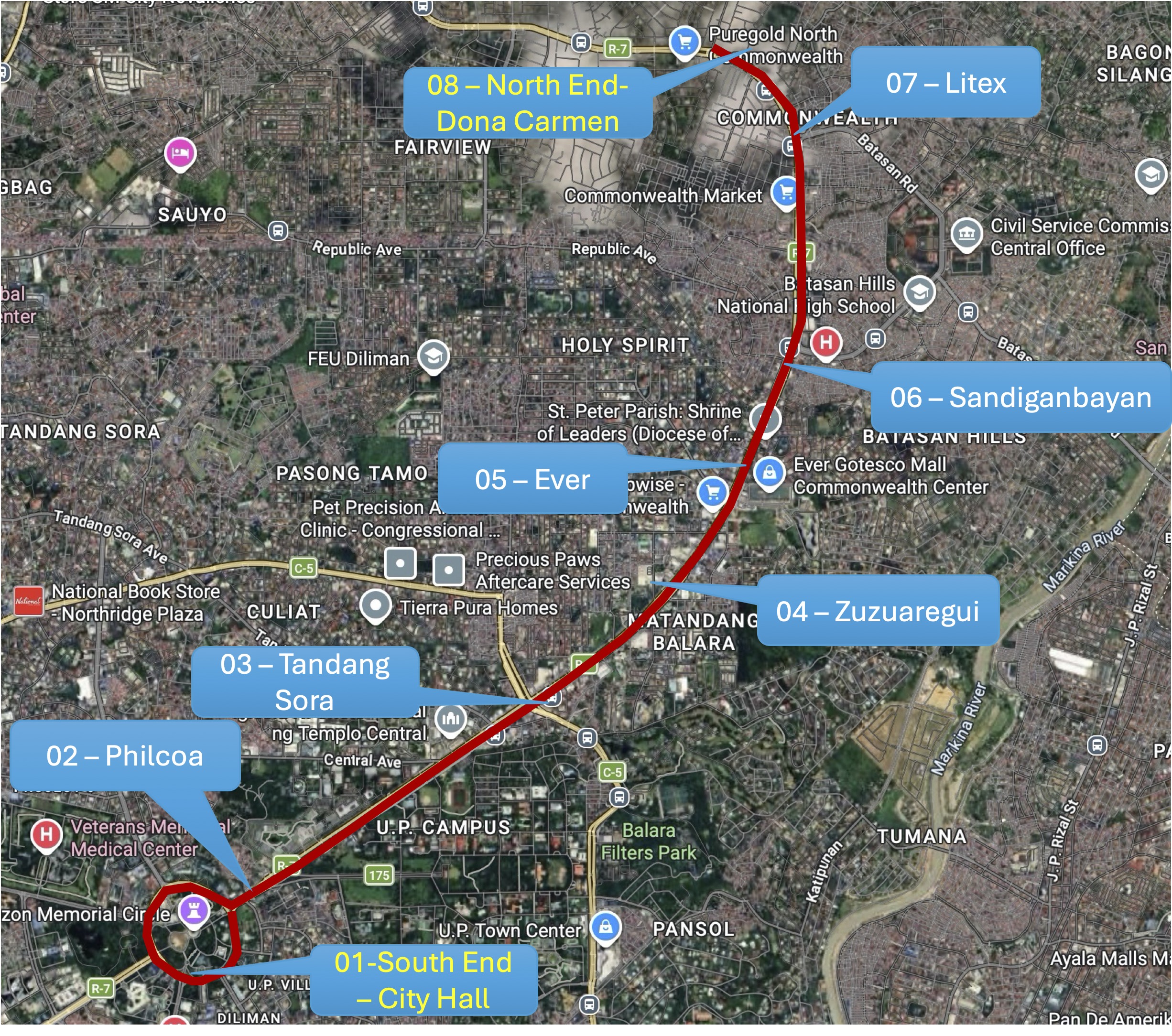
The idea of a pop-up BRT is not really new as there were “proof of concept” runs along Commonwealth and at BGC many years ago. Unfortunately, the BRTs never came to be in both cases; both now missed opportunities as we have come to realize. It’s still a long way before the MRT 7 is up and running. The recent announcement from the proponent that they will probably start operations next year is perceived by many as too late. Government, both national and local, need to be decisive if they want people to be able to go to their workplaces and schools. Maybe this is another opportunity for the more than 70% public transport users to be provided with the services they need while taking advantage of road space being freed up from car dominance?
–
The odd cyclist?
A couple weeks ago, we spotted this guy on a bicycle on our way to the office via Marcos Highway. It was easy to spot him along the highway as he pedaled along the middle lanes instead along the curbside or on the sidewalk. He was also a bit oddly dressed and there were some accessories to his bicycle.
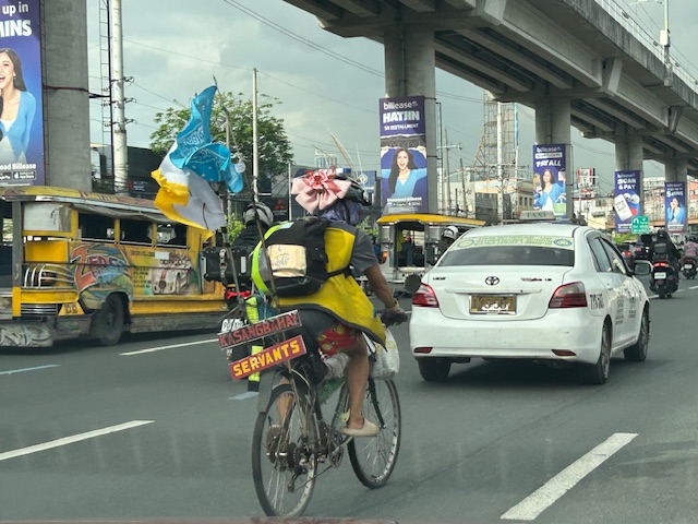 The flag and other accessories on him and his bike are probably there to enhance safety. Motorists can easily see him for these.
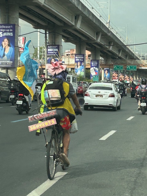 The signs state “Kasangbahay” and “servants.” The person is probably a worker on his way to his workplace.
I remember seeing another cyclist in a Spiderman costume usually pedaling along Ortigas Avenue Extension. But that was pre-COVID-19 and I have not seen him (or was it a her) post-pandemic. These people add something amusing to the commute. We just hope they can travel safely every time.
–
Congested Katipunan again
During the Christmas break, we were reminded just how Katipunan Avenue can be congested due to the trips generated by the institutions along it. These are mainly the schools such as Ateneo, Miriam and UP. Based on my observations and experiences over the past decades though (I started attending UP in the late 1980s), the main culprit is Ateneo with all the private vehicles it generates for its students in all levels (Grade School, High School and College).
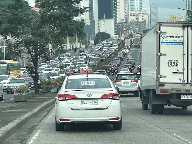 What “normal” traffic looks like on a typical weekday along Katipunan Avenue
My commute during the break is usually under 1 hour (e.g,, 40-50 minutes). But during the times when there’s school, it’s always more than an hour (e.g., 75 to 105 minutes). Will the situation improve? Will there be a mass transit system along C-5 to alleviate the traffic conditions? We can probably hope so but it doesn’t seem to be in the near horizon right now. The Metro Manila subway, after all, is expected to be operational in the 2030s!
–
Is there really a shortage of public transportation in Metro Manila? – Part 1 – Introduction
I will be doing a series of articles here on public transportation. More specifically, I will try to answer the question in the main title of the series – Is there really a shortage of public transportation in Metro Manila?
The quick answer probably is “yes” but we need to examine this concern from different perspectives and reasons so we can be objective about the “why” part of the shortage. Shortage may mean a real lack in terms of the number of public utility vehicles (PUVs) with approved franchises or perhaps the number actually operating on any given day. These two are actually different because it is possible to have fewer PUVs operating compared to the approved number or to have more PUVs operating than the approved number. The latter means there are “colorum” or illegal operations (i.e., vehicles providing public transport services without franchises).
Among the reasons why there is a perceived shortage of public transportation are as follows:
- Fewer than the number of franchises approved are operating.
- PUVs are not able to make a reasonable turnaround (e.g., due to traffic congestion).
- PUV drivers and operators refusing to operate their vehicles.
- Other factors.
- Any combination of the above including “all of the above.”
I hope I can write about these in a manner that can be easily understood – in layman’s terms.
–
From 9-to-5 to Anytime: How Telecommuting Changes the Traffic Game
Here’s a quick share of an article on telecommuting:
Source: From 9-to-5 to Anytime: How Telecommuting Changes the Traffic Game
To quote from the article:
“As we look across these 83 cities, it’s clear that remote work has brought relief to some areas while leaving others just as crowded as before. The cities seeing the most benefit from WFH were those with a flexible, remote-friendly workforce and a supportive economic structure. For fast-growing cities, or those with heavy industry or logistics, WFH alone wasn’t enough to solve congestion.
Telecommuting has no doubt reshaped our roadways, but it’s clear that tackling urban congestion will require more than just a remote work policy. As cities continue to grow and evolve, the future of urban mobility will rely on creative solutions, from smarter infrastructure to updated transit options, to keep America’s cities moving in this new, work-from-anywhere world.”
There are lessons to be learned here for us in the Philippines. Telecommuting is not a new thing here especially considering we have many BPOs operating across the country. Indeed, it is not to be considered as the only solution but one of many we can use to reduce congestion and improve commutes in our towns and cities.
–

