
Home » Posts tagged 'infrastructure'
Tag Archives: infrastructure
No more Panay-Boracay Bridge?
The news today included two items welcomed by various groups including environmental advocates. One was about the proposed bridge connecting Boracay Island to Panay. The other was on the halt on the tree cutting related to the SALEX project. Both involved San Miguel Corporation. I wrote about the proposed bridge last April and how it was not at all a necessity considering the character of Boracay. It would have been a folly to build a bridge, free or tolled, to a small island that’s main attraction is its beaches. Unlimited, easy access would bring droves of people there and lead to faster deterioration of the conditions including the environment. If the government decides on another freeze in activities for the island to recover, that will surely mean losses for the bridge concessionaire. Do we really need to bring in more traffic to an island that’s exceeded its carrying capacity?
I have not written about the tree-cutting but have written about the loss of trees elsewhere including roads where we have done fieldwork along in the past. I recall the Kamatchile trees that used to line up along long sections of McArthur Highway in Tarlac. They’re lost now after the DPWH cut them down for their road widening projects. The same happened to other trees, including very old one that are hard to replace, along other national roads in many provinces where DPWH implemented its road widening projects despite having no demand for it in many cases. This is the problem if the main Key Performance Indicator (KPI) of the DPWH is kilometers of road widened. Of course, in this case, the question is if the tollway is actually necessary. My frustration and disappointment is that government keeps encouraging tollway development with the private sector when the biggest challenge is the development of mass transit systems for our rapidly growing cities. The incentives should go there instead of more tollways.
–
Another ‘a bridge too far’?
Earlier this month, I was reminiscing about a trip I made before the pandemic. I was in the Netherlands during one Holy Week to participate in the final defense of a PhD dissertation. I was the external panelist and was invited to be there in person. This was prior to the pandemic and the preference for online participation. I took advantage of the travel to make a side trip to a few locations I previously only watched onscreen. Several bridges there were subject of a World War II film, “A Bridge Too Far.” This was about the bridges the allies attempted to capture during Operation Market Garden. The term “a bridge too far” is now used to refer to the folly of going beyond what can really be achieved. It can also be used to refer to something (including bridges) that one sought to build or create but is just not called for or required.
I wrote in the past about projects that are nice to have but are not necessary or priority. These included bridge projects that are supposed to connect major islands in the Philippines. Given the limited resources we have and the long list of infrastructure projects that need to be prioritized, these shouldn’t be on top of a city’s or province’s list over projects like transit systems, affordable housing closer to workplaces and schools, and schools. And even if we did commit to bridges, it doesn’t make sense to build them where they are likely to cause more damage than benefits. One such bridge that is now in the pipeline and currently making the rounds of social media pages is the proposed bridge connecting Boracay Island to Panay Island. It simply doesn’t make sense to make a tourist attraction like Boracay more accessible to even more people. The island already exceeded its environmental carrying capacity many years ago and more people via this bridge will definitely be disastrous to its ecosystem aside from the social and economic impacts of the bridge.
I googled the land areas of three islands where bridges are proposed for construction. Here are the results:
“Guimaras is the largest of the three at roughly 611.87 square kilometers, followed by the Garden City of Samal at 301.35 square kilometers and Boracay, which is the smallest at only around 10.32 square kilometers. Guimaras is a province, Samal is a component city, and Boracay is a tiny tourism-focused island.”
While it might make sense for such bridges to be built to connect Iloilo with Guimaras and Davao with Samal Island, it doesn’t make sense for Boracay’s case. Guimaras and Samal will be better served by the bridges across many aspects of their being local government units and not just a tourist attraction. Guimaras’ mangoes, for example, can be transported more efficiently to Iloilo where a world class port can transport the fruits in bulk to destinations where they are in demand. The bridge will also ultimately link the island province to Iloilo’s airport. Both Guimaras and Samal have nice beaches and resorts but they are not the only attractions or activities of these islands. Granted that boatmen and maritime transport between the islands will be affected by the bridges, the impacts can probably be alleviated by a shift in their livelihoods (of course, with the assistance of government and partners). The perception is that Guimaras and Samal stand to gain more in terms of benefits while Boracay will deteriorate should it become so easily accessible.
–
The unfinished Ungka flyover in Iloilo City
The Ungka flyover generated much controversy in Iloilo not just because it remain unfinished but the reasons why it is not completed. I assume that since this is a government project, budget is not really an issue. Projects like this can always have allocations as long as it sticks to the budget or any reasonable and justifiable adjustments (read: additional funds) for its completion. However, there are technical rather than budget issues that need to be addressed and which have major implications on the budget if retrofitting is required and undertaken. Otherwise, the capacity of the overpass is compromised and it will not function as originally planned. Following are photos I took last year coming from the airport to the city.
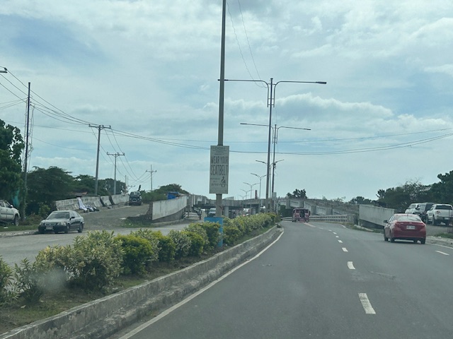
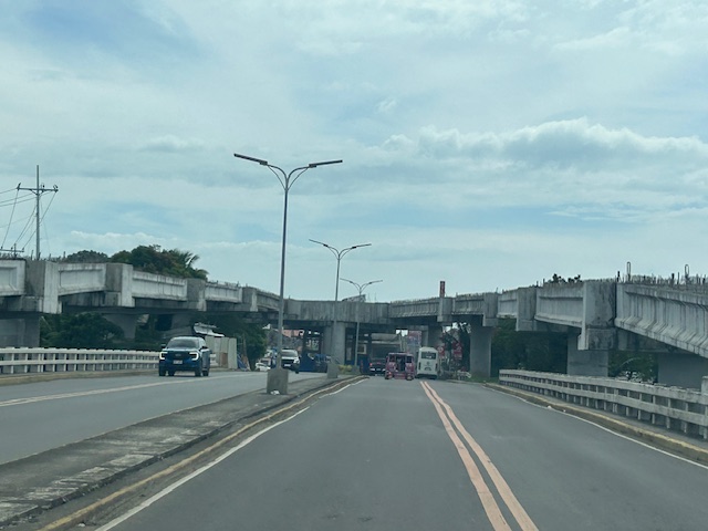
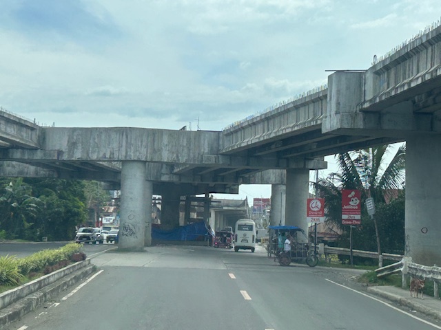
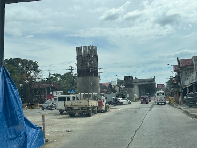
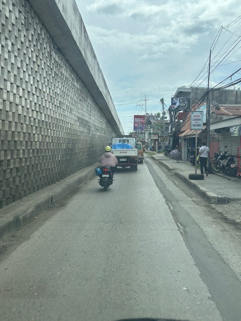
I decided to finish and publish this now as there is news that construction recently resumed. Hopefully, the issues have been addressed and this long delayed project can be completed to help alleviate congestion in the area.
–
At long last, the Cebu BRT is finally running
After more than two decades, the Cebu Bus Rapid Transit (BRT) is finally operational (partly). I think I wrote about the BRT numerous times here. I was involved in the social marketing of the BRT to major cities almost 2 decades ago. At that time, only Cebu City was receptive to the idea as Metro Manila was more engrossed with railway projects that also took much gestation time. I was also involved in the pre-FS for Metro Manila BRT’s so I can say this has a lot of history and political economy about it.
Here is a report from Rappler via their official Facebook page:
https://www.facebook.com/share/v/1J3Fpmar16/
I already look forward to the next trip to Cebu to have a first hand experience of the BRT there. I wanted to share photos from the internet here but perhaps I can wait til I have my own photos to share.
–
Our clear and present problem with DPWH and certain contractors
I was going to write about the new taxi service and TNVS I used recently during this long weekend. Unfortunately, I lost focus and “gana” after reading about the collusion among DPWH officials and certain contractors about flood control projects. Here are my sentiments today that I shared on my social media account:
“Bakit walang pasok bukas? Kasi may nagbabadyang masamang panahon. Baka bumaha? Bakit babaha? Alam na siguro natin ang sagot sa tanong na ito? Damay-damay na yan. Resilience na lang ba ng mga taong nagbabayad ng buwis ang kasagutan? Di ba dapat may managot sa kung bakit patuloy tayong binabaha samantalang bilyones o trilyones ng kaban ng bayan ang ginagastos? Naiisip ba natin na yung pinagpaguran, pinagpapaguran at pagpapaguran natin ay napupunta sa mga nanlalamang? Wala nga siguro silang nararamdaman at napapansin habang nakasakay sa kabilang magagarang sasakyan. Tayo naman, hanggang tiis sa paglusong sa baha at mag ‘abangers’ sa anunsyo ng walang pasok.”
With the recent revelations of these contractors having the propensity to purchase luxury items like expensive vehicles, do we still wonder why these people cannot feel what ordinary people experience during these times of inclement weather? Hindi nga siguro maramdaman ang baha o ang mga lubak sa daan pag naka SUV ka. To be quite direct about this, I would like to personally drag them to experience the floods and maybe submerge their homes for a few days so we’re even. I am probably not alone with my sentiments.
Flood control is probably just the tip of the proverbial iceberg. There are just so many other projects including roads and bridges that also need to be investigated for anomalies. Will the current administration act on this? Or are we just being taken for a ride with all these lip service and grandstanding by politicians and government officials?
–
Metro Manila rail network by 2030?
I saw another map circulating in social media. It would really be nice to have a more comprehensive rail network for Metro Manila or perhaps the Greater Capital Region (Mega Manila or NCR plus or whatever you want to call it). Maps like this give us something to look forward to. We are made to be hopeful about our places being served by trains just like what some of us have experienced abroad in cities like Singapore and Tokyo.

Credits are due to whoever made this map. While it has the DOTr logo, I am not sure someone from there made the map. There are many ‘mapmakers’ out there who can make transit maps like this.
–
Solutions to transport problems: the combination of congestion pricing and transit infrastructure development
Congestion pricing and transit infrastructure development (e.g., mass transit infrastructure) are often mentioned separately or independently. It is as if they are mutually exclusive alternatives or solutions to our transportation problems. They are not and should be considered together for greater impacts and also to complement each other. While the article below focuses on the experience in the United States, the experience is Singapore as applied to cities should provide a model that can be adopted if not outrightly replicated. Singapore’s version of congestion pricing in the form of its Electronic Road Pricing (ERP) scheme has been very effective in regulating congestion levels while helping fund public transportation in the city-state.
Descant, S. (May 8, 2025) “Congestion Pricing and Transit Are a Necessary Alliance,” Government Technology, https://www.govtech.com/transportation/congestion-pricing-and-transit-are-a-necessary-alliance %5BLast accessed: 11/05/2025]
Quoting from the article:
“In order to move a congestion pricing proposal forward, “you must have serious congestion, and you must have good transit,” said Sam Schwartz, a former New York City traffic commissioner, said during a March 21 panel on the New York City congestion pricing program. The event was organized by the Massachusetts Institute of Technology (MIT) Mobility Initiative. Schwartz is also the CEO of Sam Schwartz Pedestrian Traffic Management Services, a consulting firm.
A recent report by the Mineta Transportation Institute at San Jose State University in California concluded roadway tolling — a form of congestion pricing — can serve the dual purpose of reducing traffic congestion and supporting transit options, if the programs are structured properly.”
–
On the collapse of a bridge in Isabela
A hot topic these days is the collapse of a span of a newly built bridge in Isabela. The alleged causes of the collapse included truck overloading, design flaws and inferior construction. Initial news reports and statements put the blame on the trucker and the designer with only a few suspicions thrown at the contractor. And then the current President of the country together with his DPWH Secretary inspected the site together. BBM was later quoted as saying the cause was a design flaw.
The bridge’s designer came out to state that it is not his fault. That could have been perceived as a self-serving statement until you delve into his explanation and check his credentials. The designer happens to be one if not the most experienced bridge engineer in the country. He obtained his Bachelor’s and Master’s degrees in reputable institutions (UP and Virginia Tech in the US, respectively). He taught bridge engineering in universities and is perhaps instrumental in civil engineers choosing to specialize in bridges. And he was a past president of the Association of Structural Engineers in the Philippines (ASEP). He knew what he was doing and the process requires for his design to be reviewed and approved by the DPWH prior to having the bridge constructed. If it passed the DPWH review and approval process, then it should be determined if the contractor was faithful to the execution of the design. Photos spreading over social media shows problems where the structure failed. And the quick assessment of many who are knowledgeable about structural engineering and construction is that apparently, the failure is due to the construction.
What happened? Wasn’t construction progress monitored? Were there inspections to determined whether the design was followed? One result of the suspicions being thrown at the people responsible for the bridge is the proliferation of ‘corruption’ as the root cause of the collapse. There are already clever memes of the bridge employing ‘steal design’ and ‘steal reinforcement’ obviously replacing ‘steel’ in the terms. While we inject humor into the situation, we cannot deny how serious the matter is and the implications of design specifications as well as the emergence of new truck types with higher payloads is to pavement engineering in general and bridge engineering in particular.
–
The old Legazpi City airport
En route to Camalig after checking out from our hotel, we passed by the old airport in Legazpi City. This was closed after the new airport in nearby Daraga became operational.
Legazpi and the Bicol region needed a new gateway after the old one could not be expanded. Add to that the fact that the runway configuration and location was compromised by nearby Mayon Volcano. The Bicol International Airport in Daraga is a modern gateway for a region deserving such infrastructure.
–
Bicol International Airport – first impressions
The Bicol International AirPort project started during the time of then Pres. Gloria Macapagal-Arroyo. The old airport could no longer be expanded or upgraded and was too close and oriented to Mayon Volcano, causing frequent disruptions to flights. The development was similar to Iloilo’s, Bacolod’s and Tagbilaran’s airports that had to be relocated to accommodate airport expansion including future phases of development. The airport was started construction during the time of Pres. PNoy and was completed in the term of Pres. Duterte.
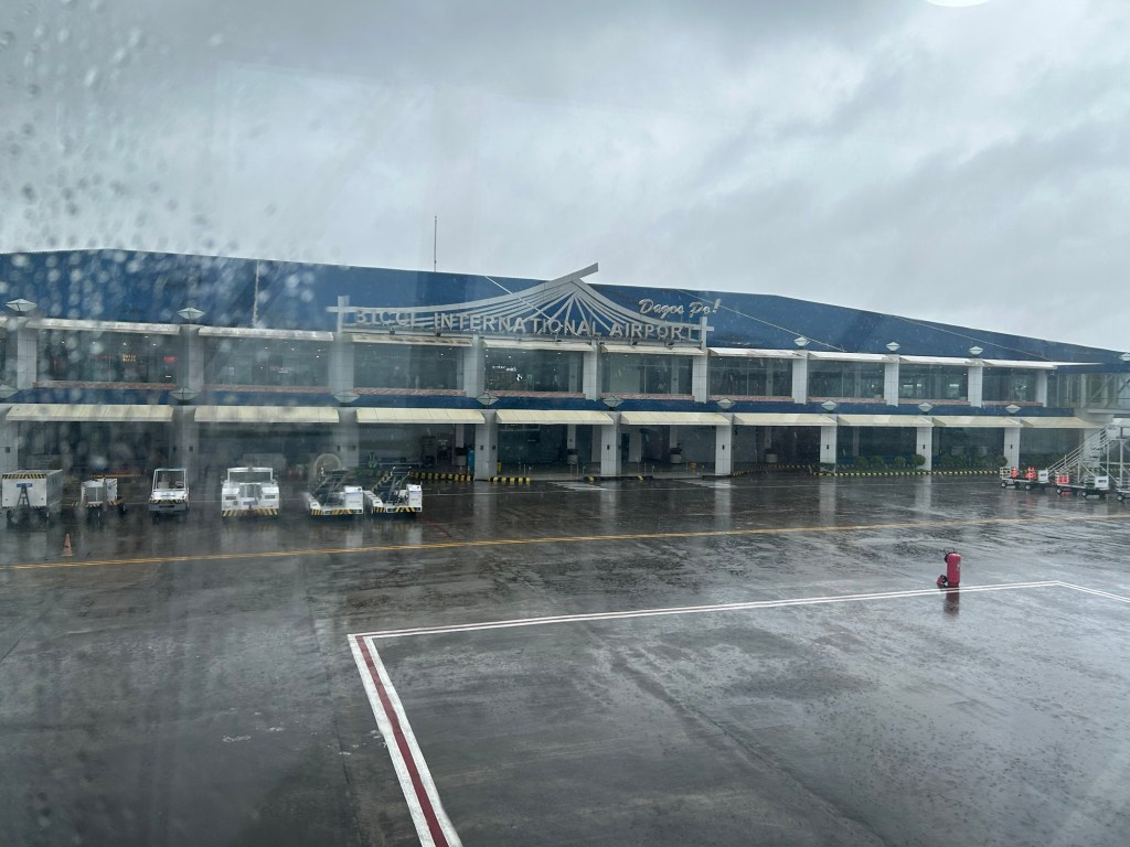
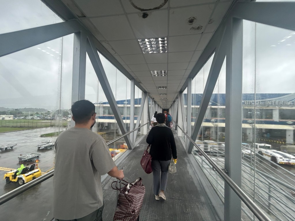
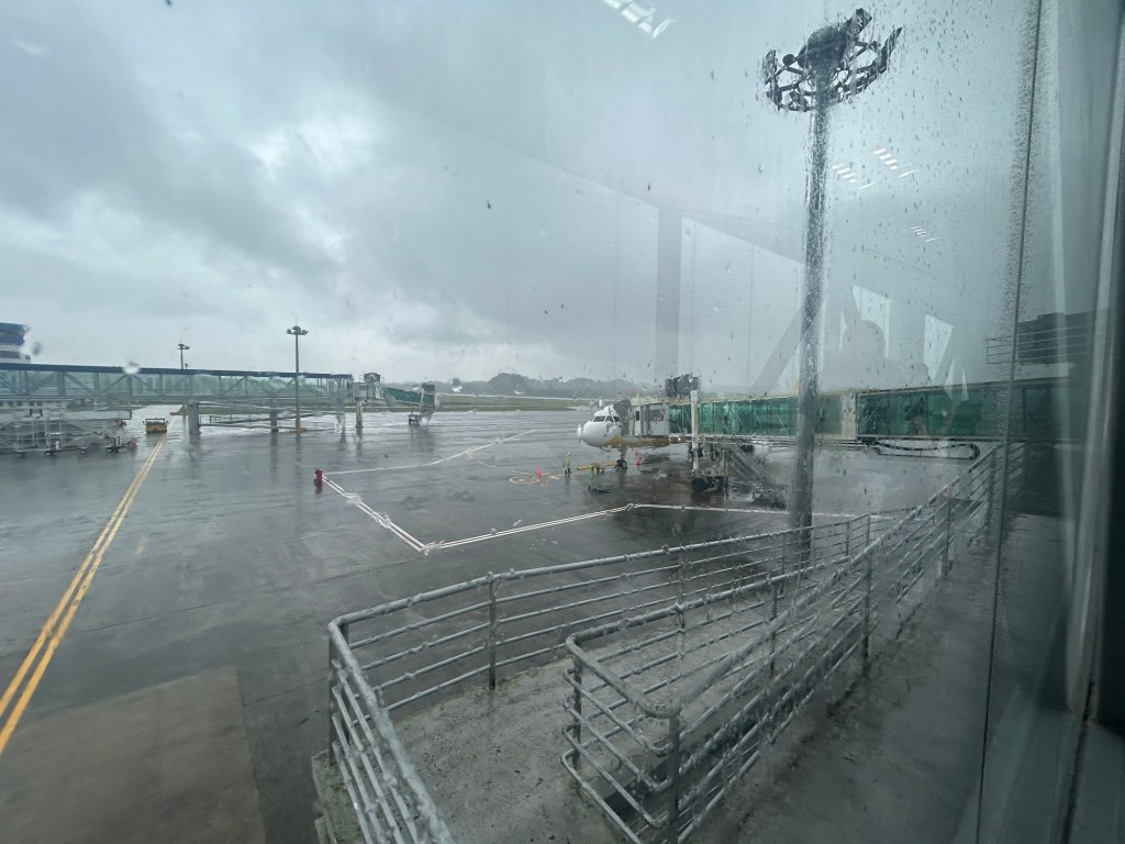
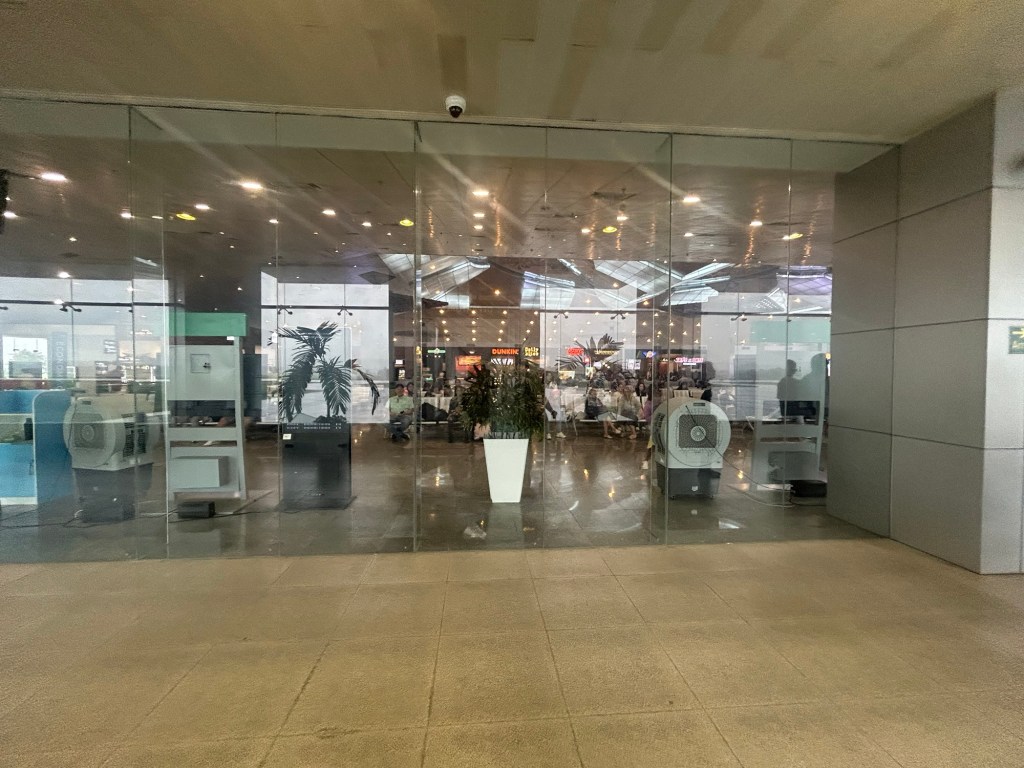
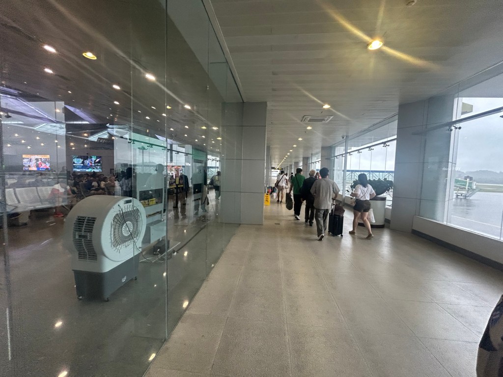
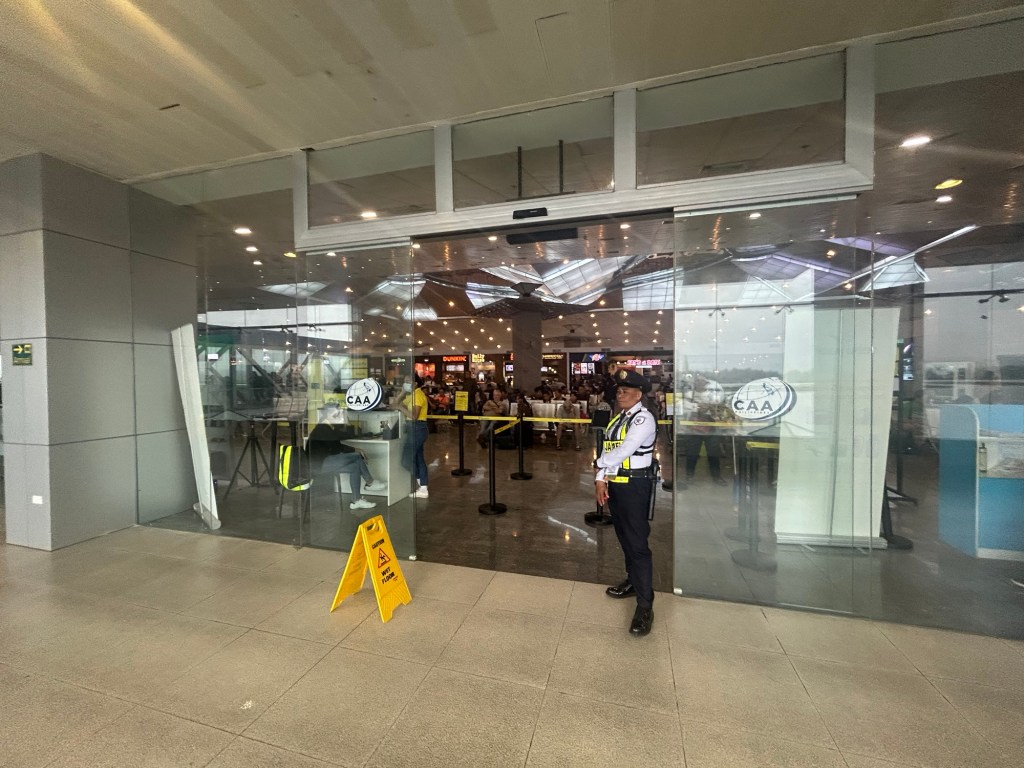
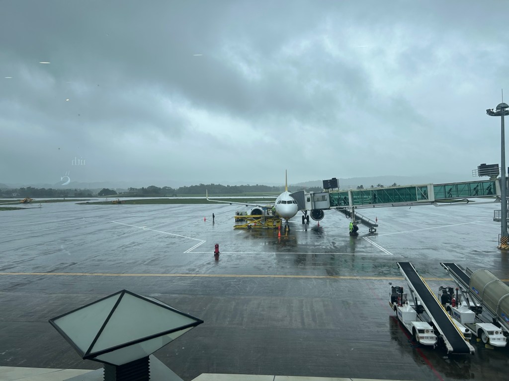
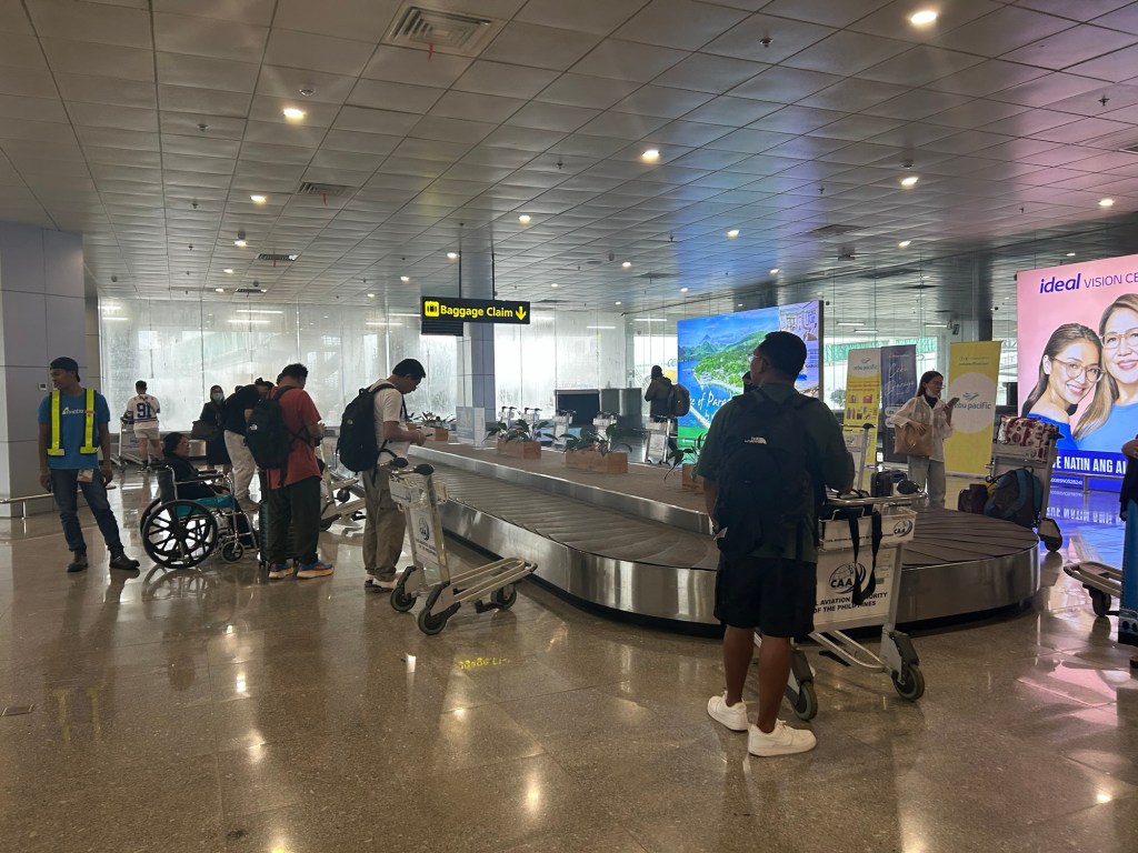
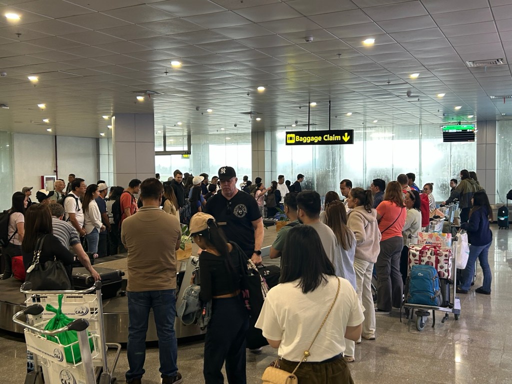
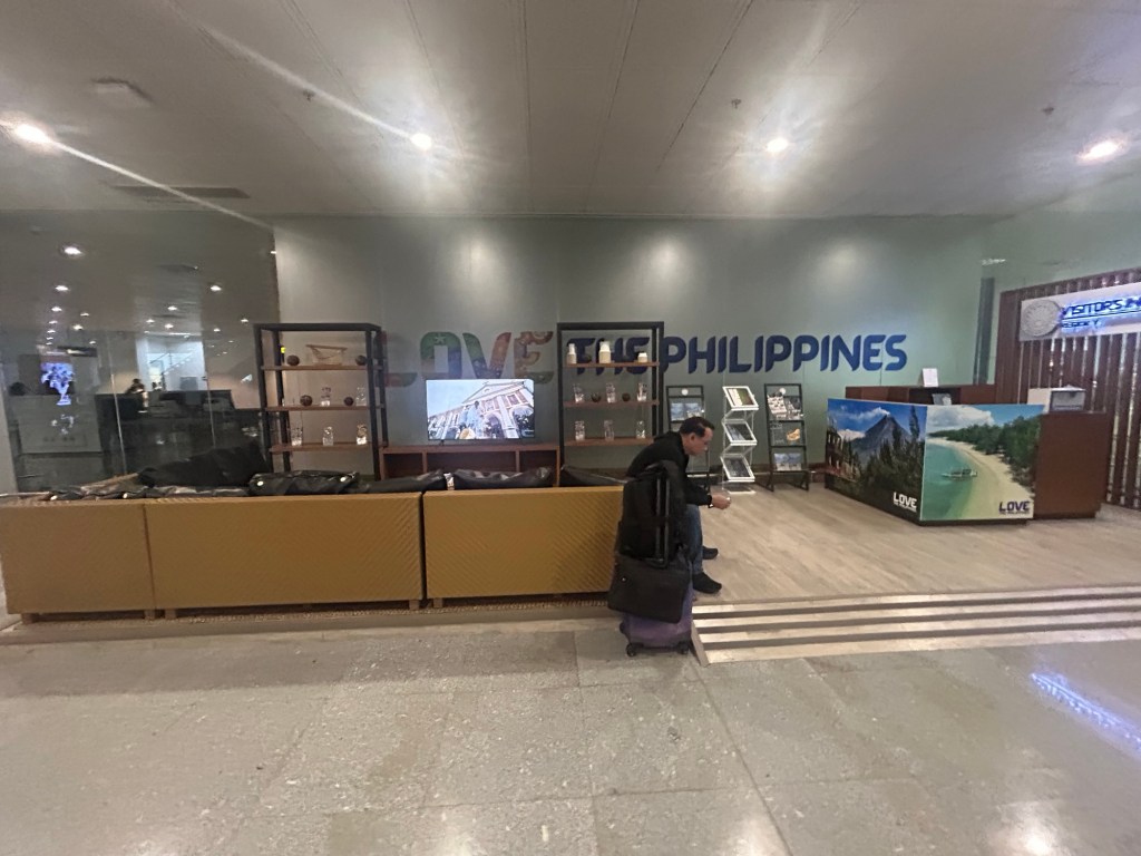
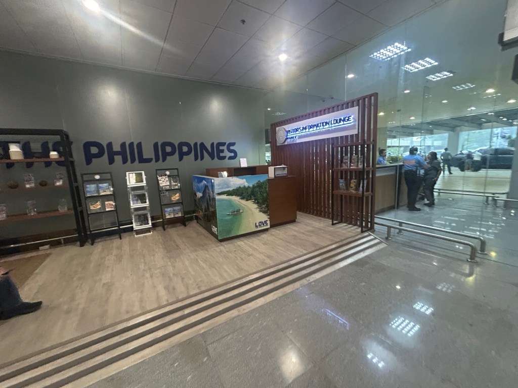
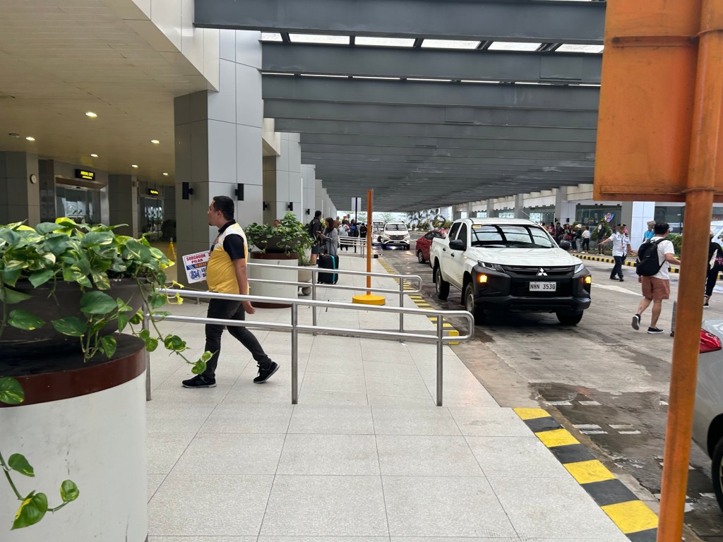
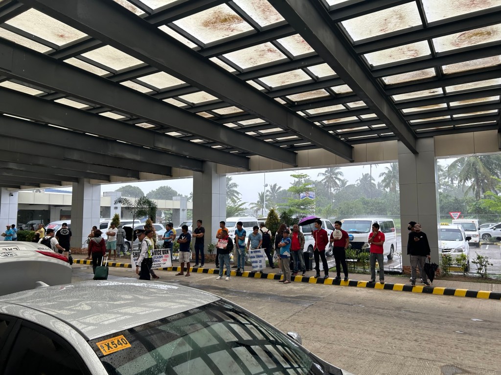
The airport is spacious and orderly. I’m not sure how the situation is when flights are more frequent and when there are international flights but perhaps the terminal can handle these at least over the foreseeable future.
More on the airport soon!
–
