
The other TNCs – Wunder and Angkas
The Land Transportation Franchising & Regulatory Board (LTFRB) recently issued a couple of press releases pertaining to two Transport Network Companies (TNCs). The issuances were for Wunder and Angkas to cease operations. Copies of the press releases were posted at the Department of Transportation (DOTr) Facebook page and are reproduced here:


Prior to these press releases, both Angkas and Wunder have been aggressively promoting themselves in social media. Wunder is the more established entity and is actually based in Germany. Its operations are basically carpooling and match drivers with passengers traveling about the same time and along their likely routes between homes and workplaces/schools.
Angkas appears to be a locally developed app. The big difference here though is that it is for motorcycle taxi services. While it is clear that tricycles (3-wheelers = usually a motorcycle plus a sidecar) used as public transportation are under the jurisdiction of local government units, their operations are governed by national laws. These include tricycles supposedly being banned from operating along national highways. Motorcycle taxis are regulated along the same lines with LGUs having the responsibilities over their operations (refer to my previous posts on habal-habal and Skylab) and are generally tolerated in rural areas where there is a lack of motorized transport services available. As far as the national government is concerned though, motorcycle taxis are prohibited and this is due primarily to safety concerns.

I don’t know where Angkas gets the “professional motor taxi” tag since it is most likely that riders offering their services are not at all trained or experienced to provide public transport services and on a 2-wheeled vehicles. Such operations are risky especially to passengers. Even in countries like Thailand and Vietnam where motorcycle taxis are generally legal, it is established that such transport modes are unsafe with motorcycles being involved in more crashes compared to other vehicles. Motorcycles also have a higher fatality rate compared to other vehicles.
I think Wunder is different and could actually be closer to the classic (or conventional) carpooling idea compared to ridesharing/carsharing leaders Grab and Uber. Wunder clearly states that its aim is to maximize the available seats for the two likely trips people make with their vehicles. These two trips are usually one in the morning (i.e., to the workplace or to school) and another in the afternoon or evening (i.e., to home). As such, the income derived from Wunder is limited to the 2 trips although a driver can maximize income by accepting multiple passengers. In contrast, many (not all) Uber and Grab drivers in the Philippines operate practically the whole day and are basically taxis. I would recommend that the LTFRB look into the operations and business model of Wunder and perhaps reconsider their decision against it.
–
Where exactly will the Line 2 Extension stations be?
A good friend asked me about where the two additional stations of the Line 2 Extension will be. Most articles state that there will be a station at Masinag and at Emerald but since work on the stations has not commenced then many are still speculating on the final locations and how the station will be laid out with respect to the elevated tracks. However, if you look closely, you will see something like a hint to where the stations and their platforms will be laid out. Following are two photos; each showing features of the elevated tracks that taper off at what looks like the start and end points for the stations.
 Future Emerald Station in front of Robinsons Metro East?
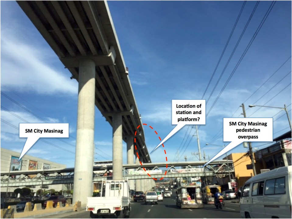 Future Masinag Station across SM City Masinag
Another observation and particularly at Masinag is how tall the structure seems to be. The platforms appear to be already at the 4th level if you compare the elevated tracks to the pedestrian overpass that represents the 2nd level. It seems that the Masinag Station will be quite a tall one and invites more questions from observers especially prospective and current users of Line 2. Perhaps it will be 4-storey building with commercial spaces for shops and restaurants? How massive will this structure be? Will there be a connection with SM other than via the existing pedestrian overpass? How will the inter-modal needs be addressed by the station design? Will there be more parking or maybe park-and-ride facilities? Hopefully, these questions can be answered soon.
–
Updates on the Line 2 Extension: What’s next?
Marcos Highway is part of my regular commuting route and so I have been able to observe the progress of the construction of the elevated tracks for the extension of Line 2. The contractor, DMCI, is nearing the completion of their part of the project. Unfortunately, the stations and the electrical/power systems for the extension have not been bidded out by the DOTr and so there are not a few doubts whether the extension will be operational by 3rd quarter of 2017, which is the original completion date for the whole project. The construction of the two stations alone are expected to take some time and also will have a big impact on transport and traffic despite the construction sites being more concentrated around the stations at Emerald and Masinag. Here are a couple of photos showing what it looks like along Marcos Highway.
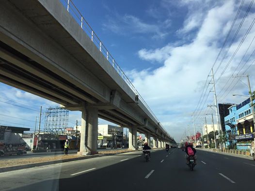 DMCI has almost completed clearing the stretch of Santolan to Masinag of their equipment. The barriers that delineated their work space are mostly gone, freeing up a lane each along either side of Marcos Highway. This has eased traffic along this major thoroughfare connecting Metro Manila to the east.
 The pedestrian overpass across Vermont Royale has been retrofitted so the center section passes under the Line 2’s structure.
Timing is of the essence for the two additional stations of Line 2. As I said, the projected completion and start of operations was 3rd quarter of 2017. Of course, the last quarter of this year would still be most welcome but further delays mean more losses on the part of commuters and, overall, the government. Perhaps it was a mistake for the previous administration to have not included the stations in the package that DMCI eventually got and now has almost completed? Maybe the current administration should expedite the remaining parts of the Line 2 extension. This should prove how serious the current government is with its promises for better public transport (i.e., mass transport).
–
Updates and resolution on the common railway station in North-EDSA
The big news today is the agreement among the government and the big corporations involved in the issue of the common station at North Avenue-EDSA where three rail transit lines (Line 1, Line 3 and the future Line 7) will be converging. The key features of the agreement are reproduced here:
“KEY FEATURES OF AGREEMENT
- The Common Station has three components: (a) Area A, where the platform and concourse for LRT-1 and MRT-3 are located; (b) Area B, which consists of two Common Concourses connecting Area A and Area C; and (c) Area C, where the platform and concourse for MRT-7 is located.
- Area A will be financed and built by DOTr. Area B will be financed and built by Ayala and its partners (NTDCC) (this is Ayala’s contribution to the Common Station project). And Area C will be financed and built by San Miguel.
- The portion of Area A for LRT-1 will be operated, maintained, and developed by LRMC. The portion of Area A for MRT-3 will be operated, maintained, and developed by DOTr. Area B will be operated, maintained, and developed by Ayala. And Area C will be operated, maintained, and developed by San Miguel.
- The MOU contains the design parameters for the Common Station, which will be the basis of the Detailed Engineering Designs to be developed after signing of the MOU. The Detailed Engineering Designs will be completed within 240 calendar days from signing date.
- The designs shall ensure that a defined level of service is maintained at all times by all components of the Common Station.
- The designs shall ensure that all components of the Common Station are interconnected, and that SM City North EDSA and Trinoma are interconnected to the Common Station.
- The Common Station is targeted to be completed by 2 April 2019, subject to extension as may be justified under the MRT-7 Agreement with respect to Area C.
- SM’s TRO will be lifted soon after the Detailed Engineering Designs are completed.
- DPWH will build an underpass along EDSA at the area where the Common Station will be constructed. This will be financed and built by DPWH.”
That was a direct copy and paste from the DOTr’s Facebook page.
There is another piece of information that’s gained a popular following and that is the design for the common station that was shared to the public:
Proposed design of the common station
I think the design is basically okay in terms of location. The layout would need to be refined in order to address concerns pertaining to optimum and efficient transfer of passengers between lines. I assume from the drawings that all three lines will be at the same level but with a plaza separating Lines 1 &3 from Line 7. There are also issues pertaining to proposed road grade separation in the area but that seems to have been addressed already by item #9 in the preceding list. We can only hope that the current government and private sector partnership can expedite this project.
–
Commuting and stress
Here is another quick post but on a topic that’s related to health and therefore is something that I think many should be interested in and perhaps take important note of.
Commuting: “The Stress that Doesn’t Pay”
There are many links to various medical articles within the article. At the last part, there is also a list of references that the reader may want to look at. I’m also posting this for future reference. This would contribute to the formulation of topics for research especially the inter-disciplinary or collaborative kind.
–
Motorcycles as goods transport
Our study on motorcycle taxis revealed most if not all of these “habal-habal” and “Skylab” being used to transport goods as well. These include agricultural products, food, construction materials, fuel, poultry, and others you would not see your typical courier service motorcycles will carry.
[All photos courtesy of Mr. Sherman Avendano of the National Center for Transportation Studies]
 A motorcycle bearing what appears as goods for or from the market treading a muddy and puddle-full road.
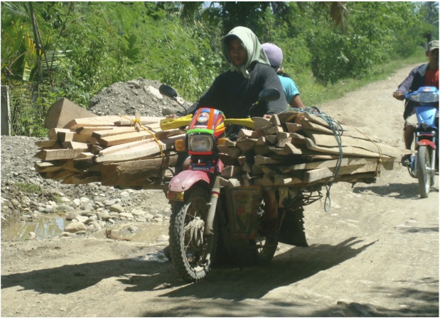 Motorcycle transporting what looks more like lumber than firewood.
 Skylab carrying what looks like 4 sacks of rice.
I was gifted by my wife with a coffee table book she got from one of her trips to Vietnam. The book contains photos of motorcycles in Vietnam being used to transport various goods including furniture, water bottles, crafts and even items like tractor tires, water tanks and roofing. I guess one can also compile a similar set of photos to come up with a Philippine version of that book.
–
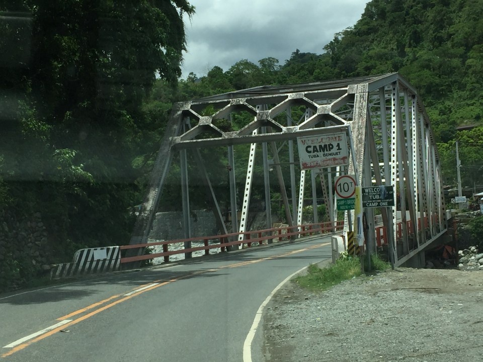
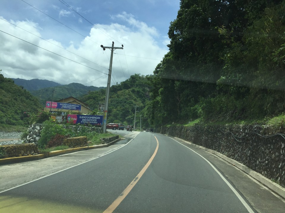
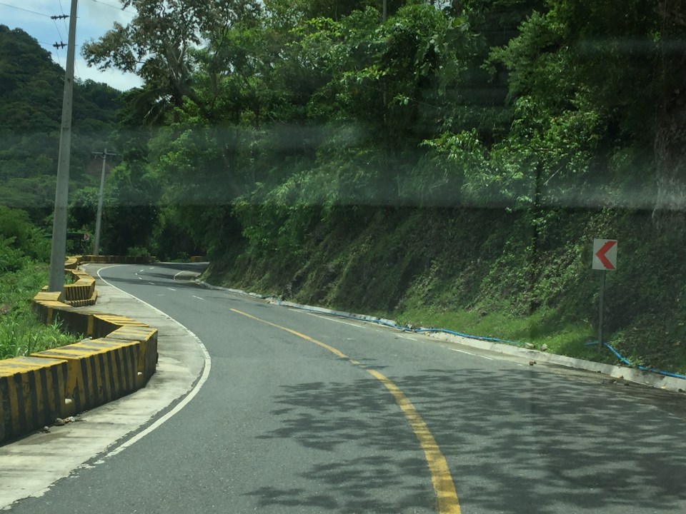
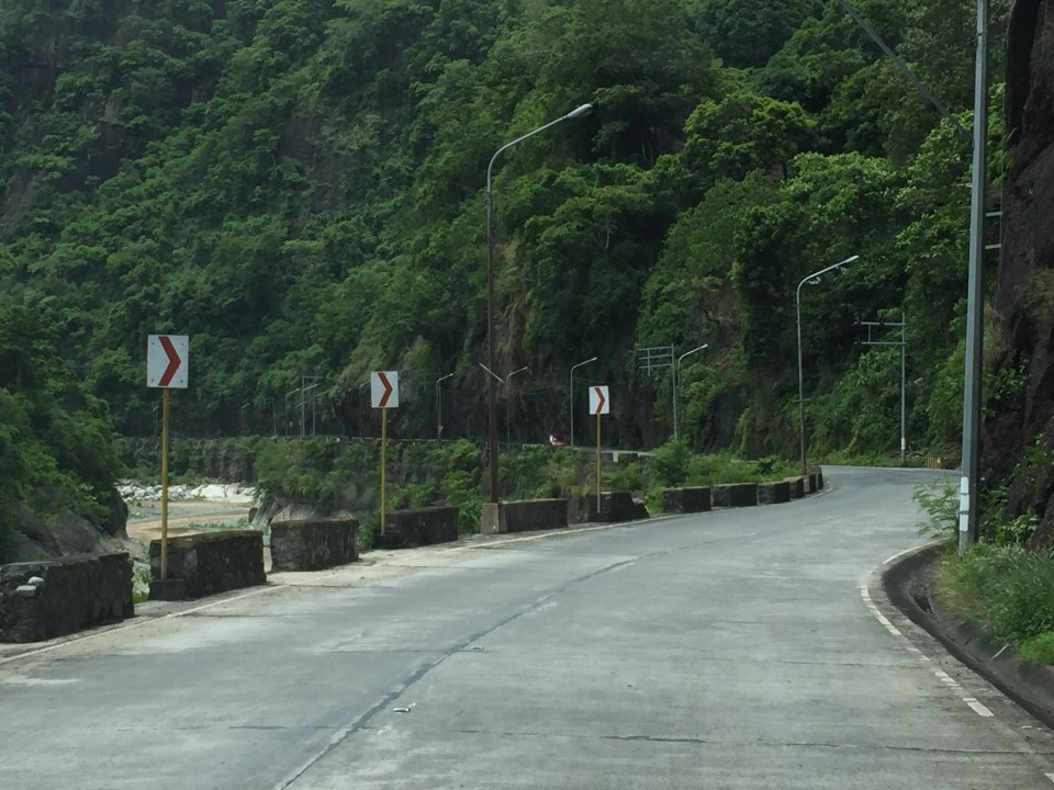
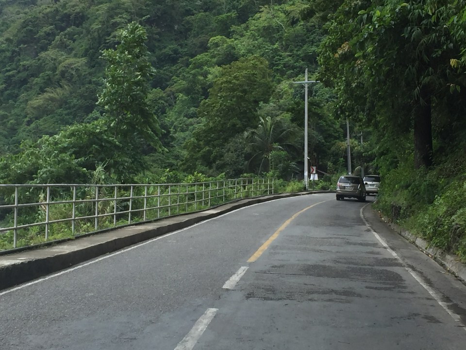
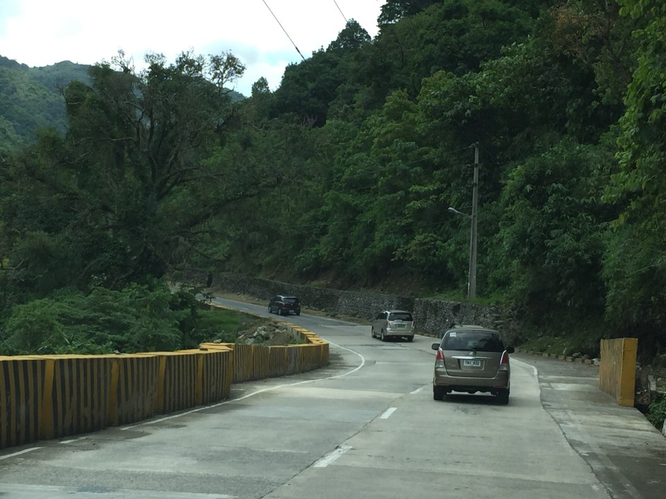
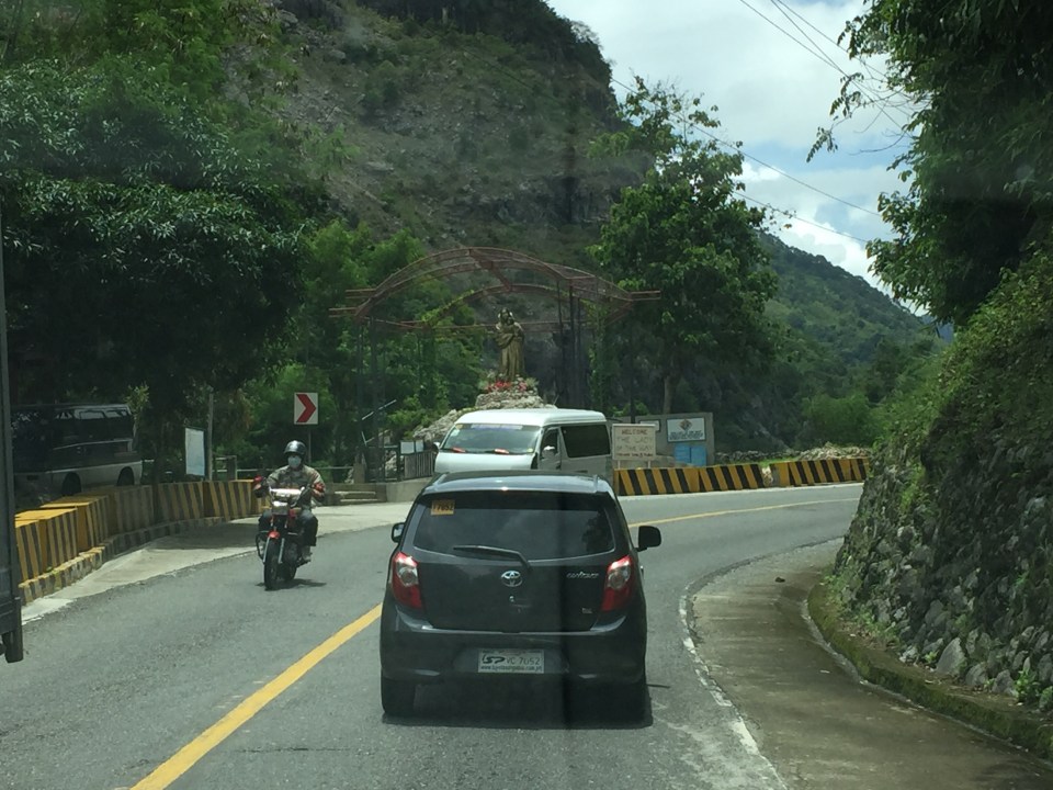
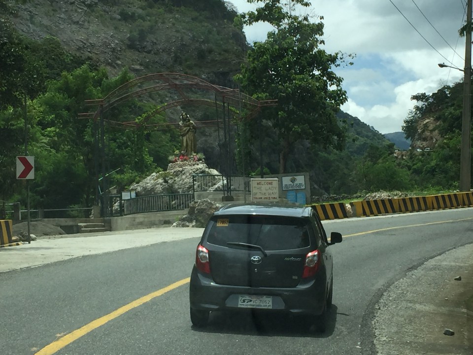
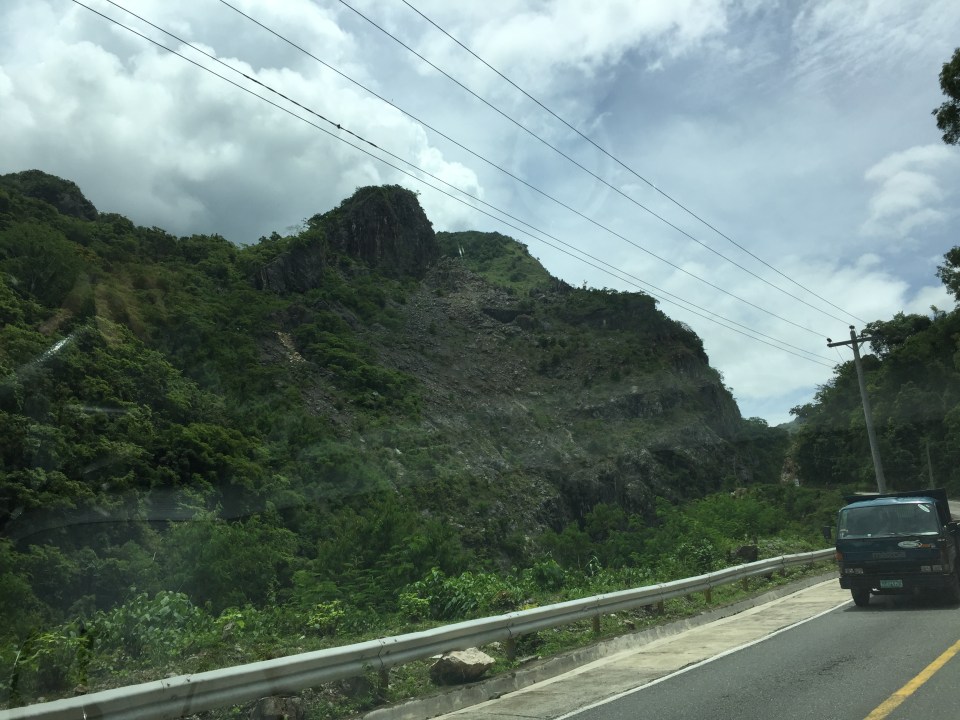
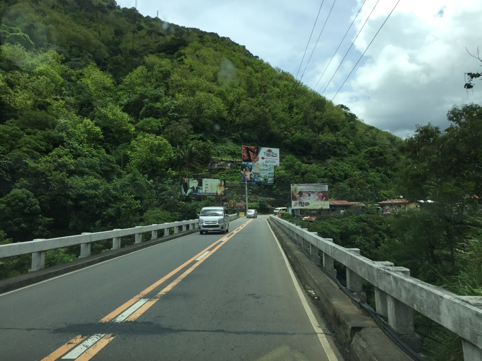
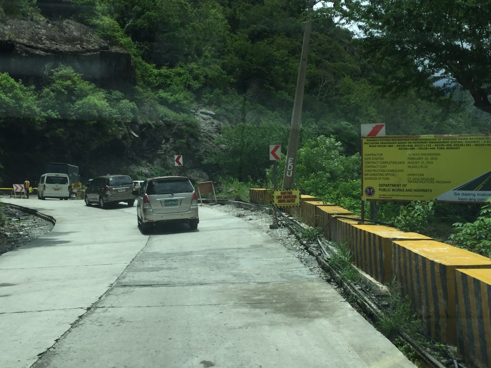
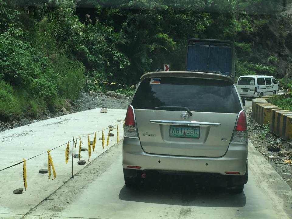
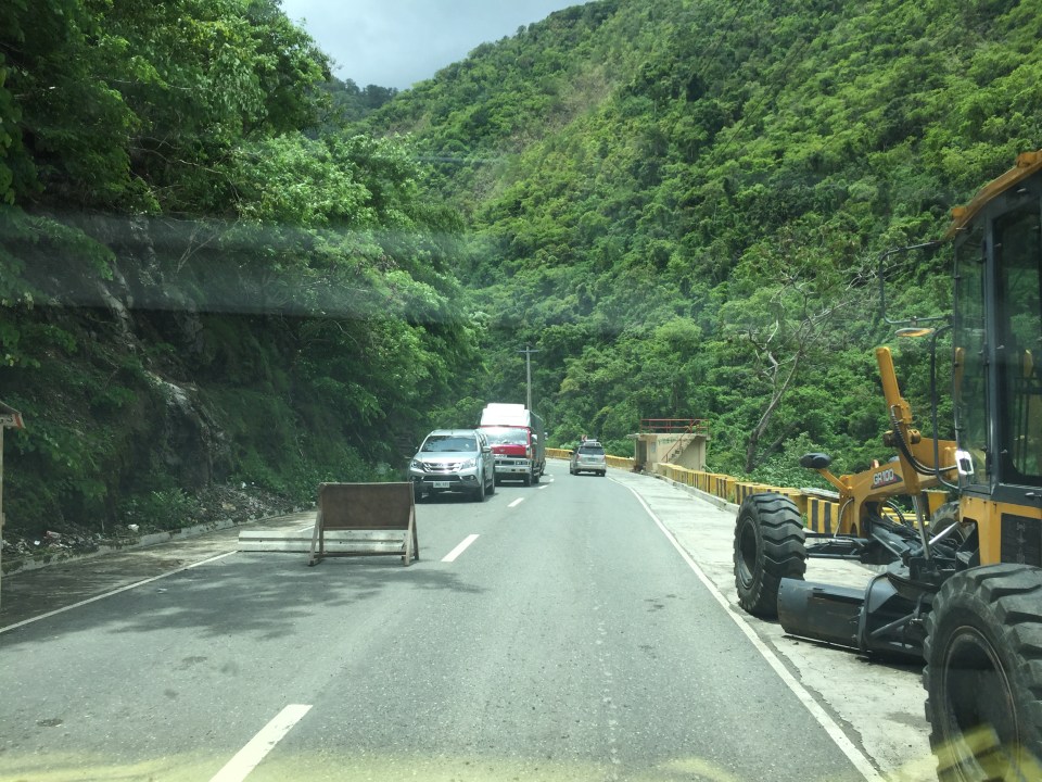
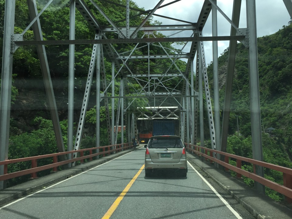
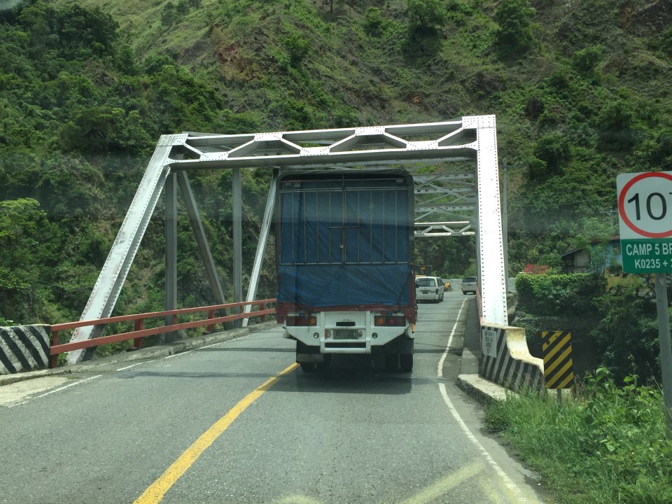
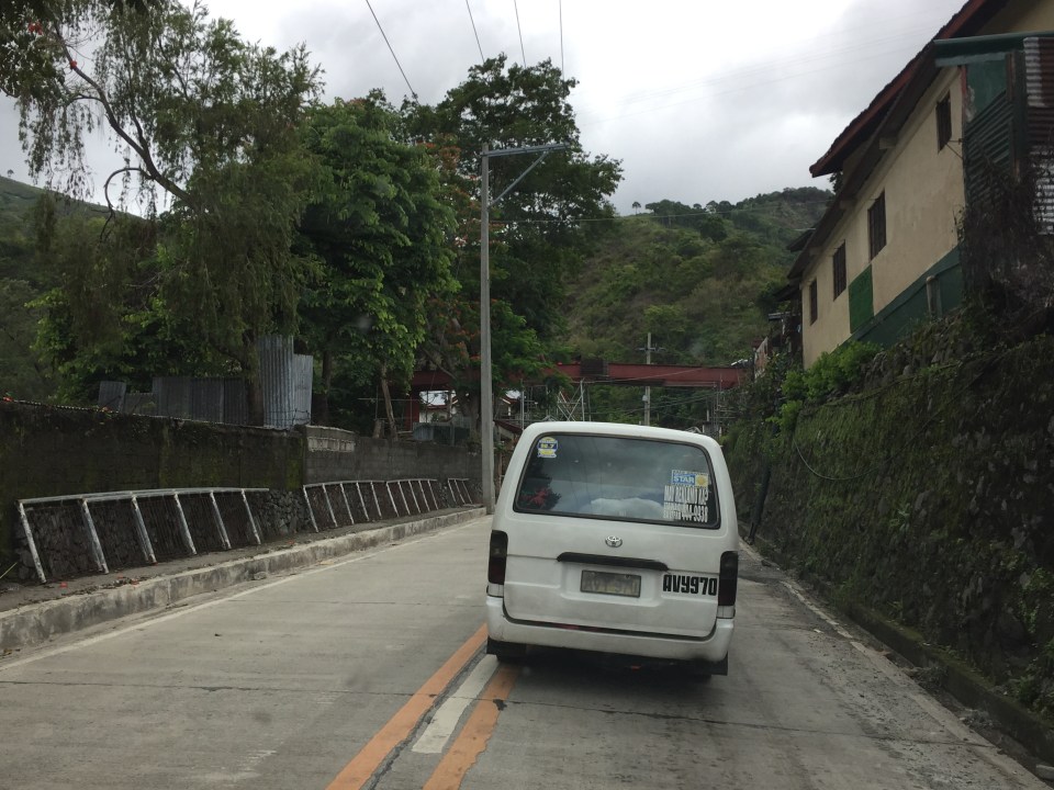
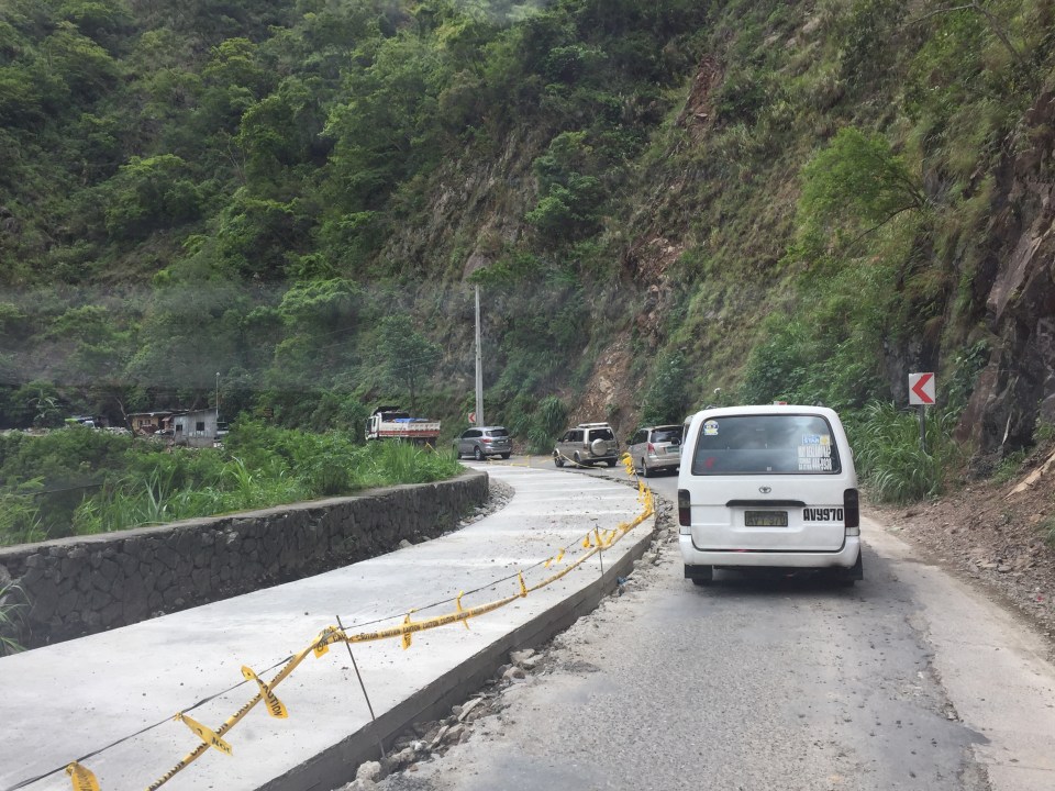
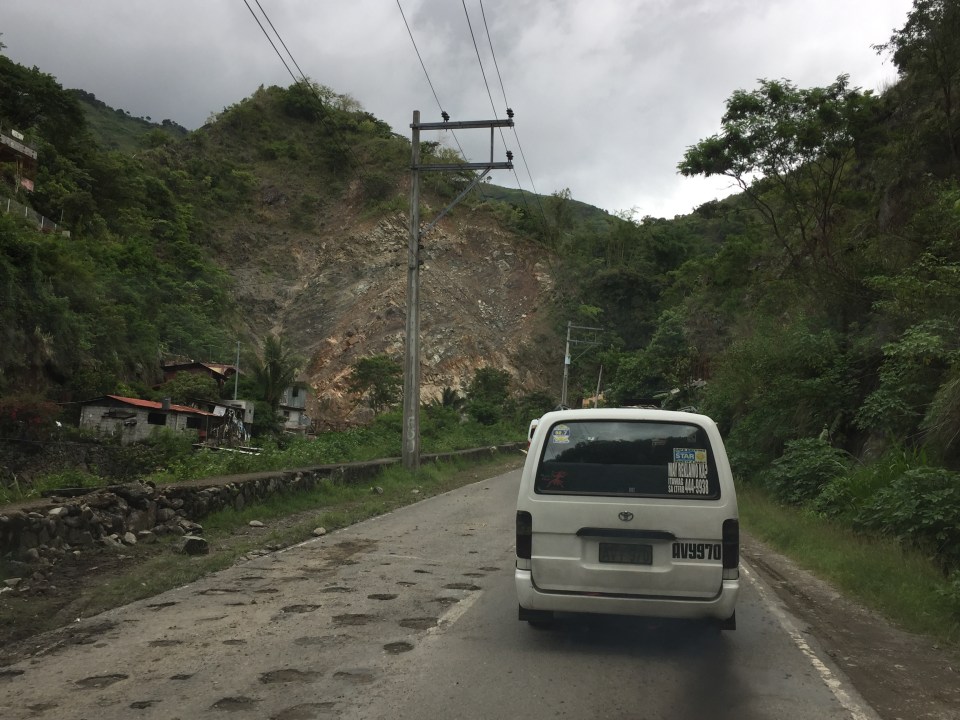
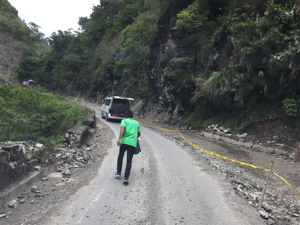
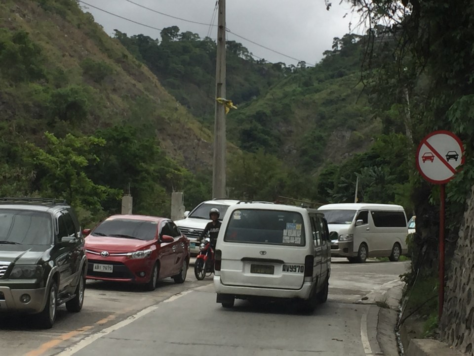
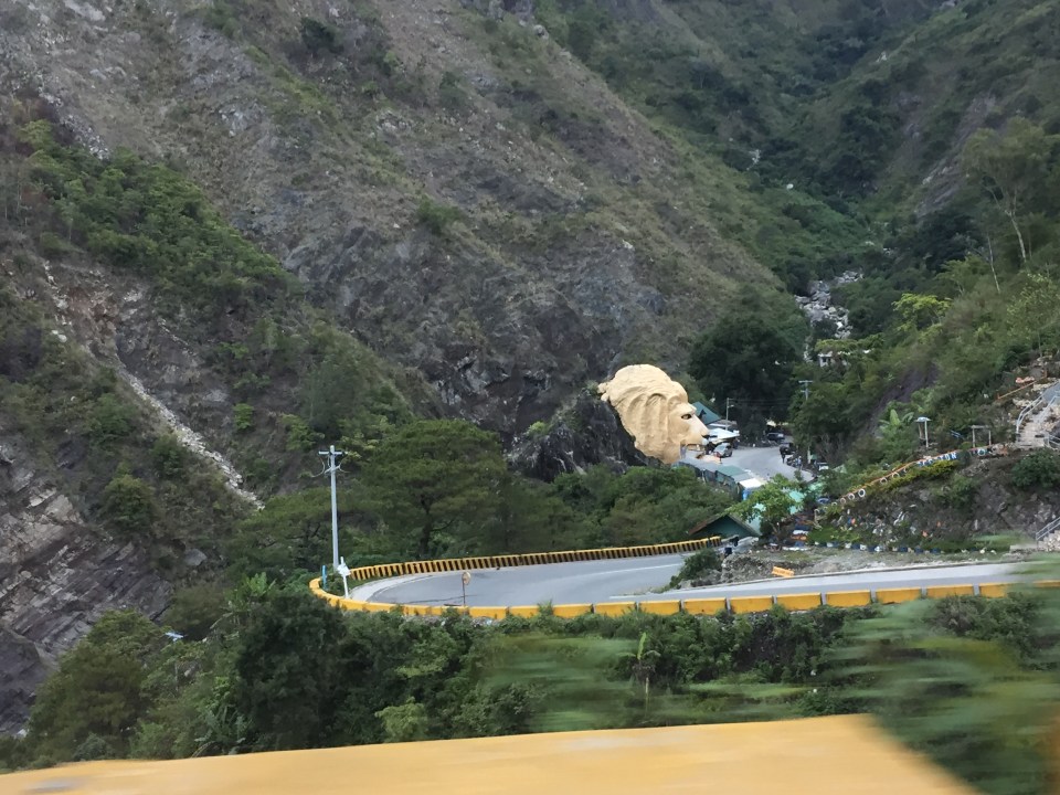
Kennon Road – Some photos taken in June 2016
I had not been to Baguio City for quite some time until June of 2016 (last year). And so I took a lot of photos of the roads between Metro Manila and Baguio including the three expressways (NLEX, SCTEX and TPLEX) and Marcos Highway. I have only posted photos of Marcos Highway ( a lot of them) and haven’t come to downloading photos of TPLEX that I have taken during my first time along the entire stretch at the time. To sort of make up for the backlog, I am posting the following photos of Kennon Road that I took almost 7 months ago. I assume most if not all roadworks along Kennon Road that some of the following photos show are already completed. I will no longer write captions for each of the photos but there are many landmarks shown here that can help the reader in his/her sense of direction and orientation. The following photos are of Kennon Road from Rosario, La Union to Baguio.


More photos from that June 2016 trip soon…
–
Do people understand what Uber and Grab really are?
Over the holidays, I’ve read a lot of posts about Uber and Grab. Mostly, these were complaints about the surge pricing scheme of Uber. A lot of people cited the exorbitant rates Uber charged for trips even short ones like Ortigas to Center to Greenhills and Trinoma to Katipunan. Though the complaints are legitimate ones, I also try to see the other side of the coin considering Uber and Grab do tell potential passengers how much it will cost them for such commutes during peak periods (i.e., when roads are congested). Potential riders do have a choice whether they should take the rider (and therefore agree with the fare stated by the app) or take another transport mode instead. The issue here should not be entirely Uber’s or Grab’s fault. Our public transport system, particularly in Metro Manila, sucks. And that includes the conventional taxis that could have provided better services if regulations were strictly implemented or if the operators managed their drivers and maintained their vehicles well. Based on my experience, taxis in Cebu, Iloilo and Davao, for example, are better managed and regulated, and provide better service quality than those in Metro Manila.
Then there were the joint LTFRB and DOTr advisory for Uber and Grab units and the LTFRB order on surge pricing and fare rates.

From both cases, it is clear that car-sharing or ridesharing services like Uber and Grab are treated as taxis rather than as premium services that likely entail higher fares but are subject to prospective passengers’ willingness to pay for such services.
Such opens the door for more questions than answers: Is this a misunderstanding or perhaps a deliberate action on the part of Philippine regulators (LTFRB and DOTr)? Why can’t they impose the same standards for vehicles, operators and drivers of conventional taxis? Wouldn’t it be in the best interest of the general riding public for LTFRB to clamp down on conventional taxis in order to reduce dilapidated vehicles as well as unqualified drivers? Surely, conventional taxis will become more attractive if they provide better services including significant reductions in the incidence of typical complaints against taxis like negotiating fares and refusing passengers because of their destinations.
Here are some more questions that need clear and objective answers for one to have a fair assessment of these services:
- Do these show how much we (both commuters and regulators) understand how these car-sharing modes are supposed to operate?
- Do officials at DOTr and LTFRB, who are supposed to be regulators of public transport services know how Uber and Grab are supposed to operate?
- How do they really fit in considering all the other modes of transport available to commuters?
–
Habal-habal in Agusan
The initial part of our research on motorcycle taxis has been completed last December 2016. We are currently drafting a paper for submission to an international conference to be held later this year. The paper contains the outcomes of the surveys undertaken in Surigao Del Sur, Agusan Del Norte and Metro Manila. These include a profile of motorcycle taxi drivers and vehicles that gives us a good idea of how much these people earn and the typical range and loads (passengers and goods) they carry.
Following are photos of motorcycle taxis in Agusan. I won’t post too much detail on the net income of drivers/operators but I guess they earn enough (some even more) given the typical cost of living in these areas where they operate. Motorcycle taxi drivers/operators actually are part of the so-called underground economy where, despite the work and income, people don’t pay their taxes like regular employees or professionals at various workplaces.
[All photos courtesy of Mr. Sherman Avendano of the National Center for Transportation Studies]
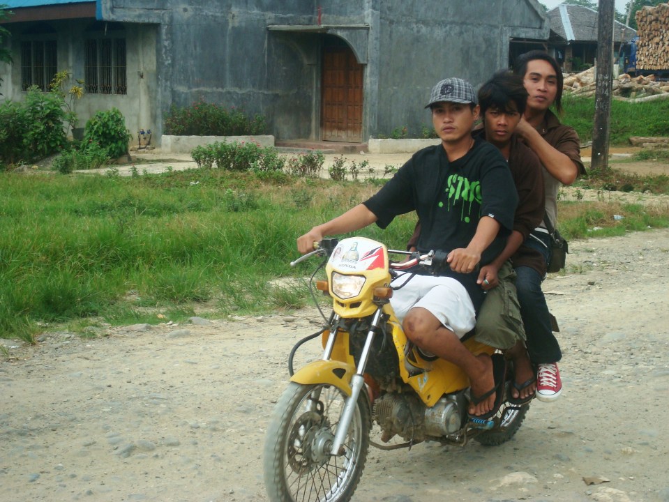 Typical habal-habal with 3 passengers
 “Skylab” with roof – the planks or extensions on either side of the motorcycle are the main features of this motorcycle taxi.
 Typical rural roads in areas served by habal-habal are unpaved. These are muddy during the wet season and dusty during the dry season. As such, it can be a rough ride for those using motorcycles and perhaps even rougher by car.
 Habal-habal passing by a puddle on the road – the passengers are obviously children likely on their way to school based on their uniforms
More on motorcycle taxis soon!
–
On Antipolo’s railway heritage – Antipolo Station
I open 2017 with a post on history and rails. A reader of one of my previous posts on Antipolo and its railway heritage was very generous to include some photos of what remains of the Antipolo Station of the old (shall I say ancient), defunct railway line that traversed what is now still called Daang Bakal. Those comments and links to photos may be found under the post on old railway lines here.
Here is a photo I found in the Kalye ng Antipolo Facebook page:
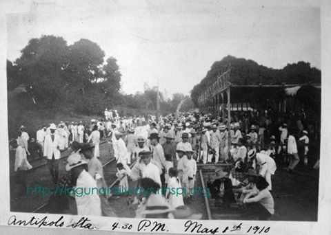
From what I see in the photo, this is a photo of the end station of the railway line that stretched from Manila to Antipolo via Pasig and Cainta through what is now Valley Golf and not via Ortigas Avenue as what some people are claiming. The last two stations were at Antipolo at Hinulugang Taktak, where the remains of the old station are well preserved and there is a historical marker, and at the area that is basically at the intersection of the Circumferential Road and San Jose Street, where the end station would have been closest to the shrine. I am also basing my assessment from the topographic features shown in the photo and the fact that there are three sets of railway tracks shown, indicating that this is also probably a depot for trains. Unfortunately, as mentioned by one of my readers, is in a state where it might soon be demolished due to the road widening project for the circumferential road. I hope the Antipolo government recognizes this important part of its history, its railway heritage, and perhaps help preserve what remains of the Antipolo Station and place a marker there for future generations to appreciate.
–
