
Home » Air travel
Category Archives: Air travel
Impacts of the energy crisis on tourism – the transport perspective
The Holy Week holidays practically begin this weekend with an expected exodus of people from Metro Manila and its environs (NCR Plus or Mega Manila depending on which term you prefer). Many people take a vacation during the Holy Week. Most probably go for a homecoming. Taking advantage of the holidays to visit their hometowns and have reunions. We did so for most of Holy Weeks past and in my father’s hometown, they take advantage of the homecomings including those of balikbayans from overseas to have a general homecoming at the town’s High School.
Many others in the past decade have their vacations during the Holy Week. The past years saw especially after the pandemic saw people travel abroad to catch spring time in temperate countries like Japan and Korea, even in Europe. Others prefer to travel in the region as Southeast Asian countries provide interesting destinations including the usual Bangkok, Hanoi, Ho Chi Minh, Kuala Lumpur, Jakarta and Singapore. Of course, you can also do local with people flocking to destinations where the beaches are like Bohol, Cebu and Palawan, just to mention some of the choices.
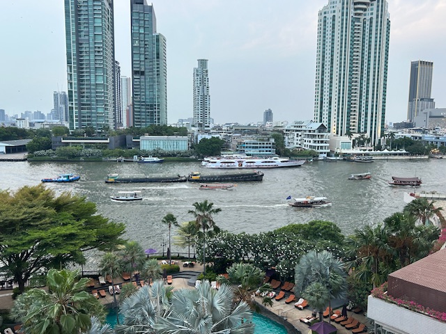 The view from the Shang in Bangkok – we spent the Holy Week there in 2024
Tourism will always involve travel and transportation. The industry will suffer much with the ongoing crisis as fuel prices will eat up a lot of travel budgets as fuel-related expenses will make travel prohibitive to many. On the supply side alone, airlines and maritime companies might have to cancel trips if they cannot sustain fuel supplies. Thus, planes will have to be grounded and ferries/vessels will have to reduce trips to conserve on fuels. That means people cannot travel to tourist destinations and will have to cancel and get refunds (if they can’t reschedule) from their accommodations (hotels, resorts). Less tourists means other businesses suffer, too, including restaurants, cafes and eateries, souvenir shops, and others depended on tourists for incomes. Damay-damay na, as they say.
Let’s hope the crisis will soon be over and this Holy Week, perhaps we can have some reflections and prayers while we take our health and re-energizing breaks.
–
Aerial photos – reclamation projects in Manila Bay
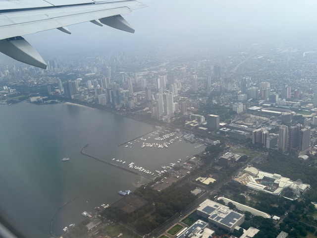
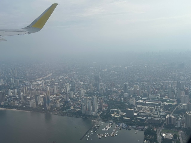
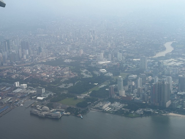
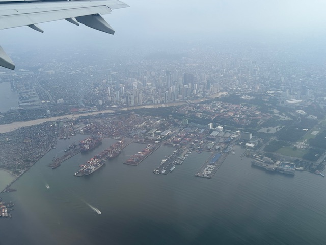
Last week’s travel allowed me to take aerial photos of the reclamation projects in Manila Bay. Here are the photos:
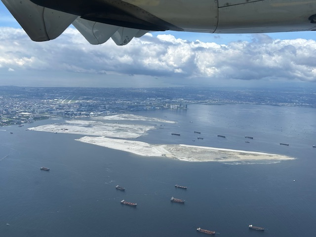
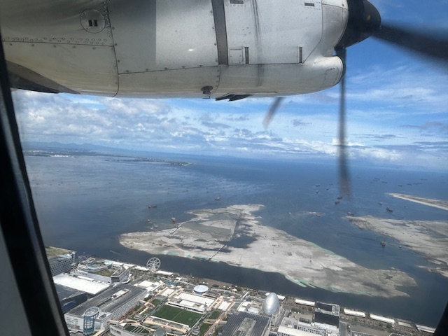 The view as we lifted off from NAIA shows SM’s reclamation project across from the MOA complex.
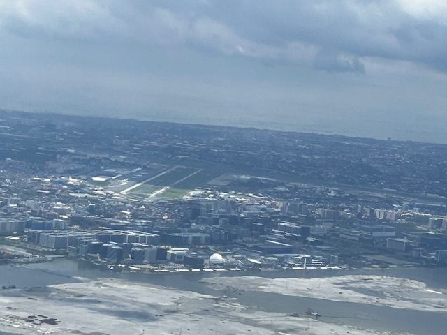
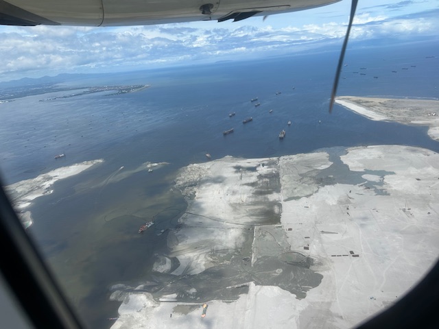 Our plane then climbed and afforded this close-up of sorts of the reclamation across from the now closed Sofitel Hotel.
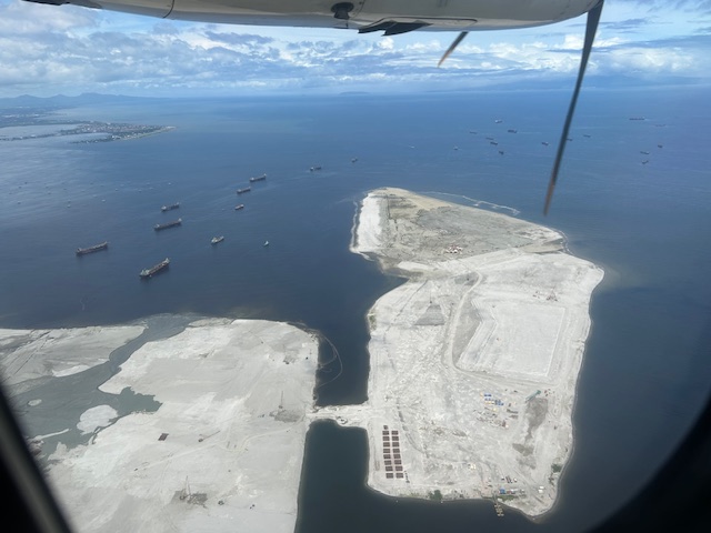 Past the largest of the three reclaimed lands is another man-made island.
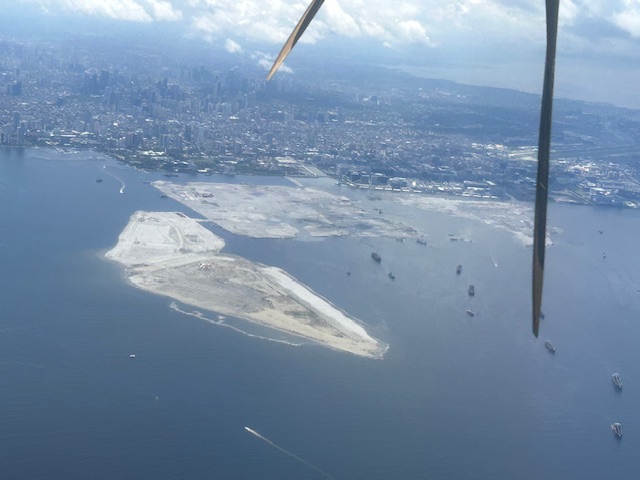
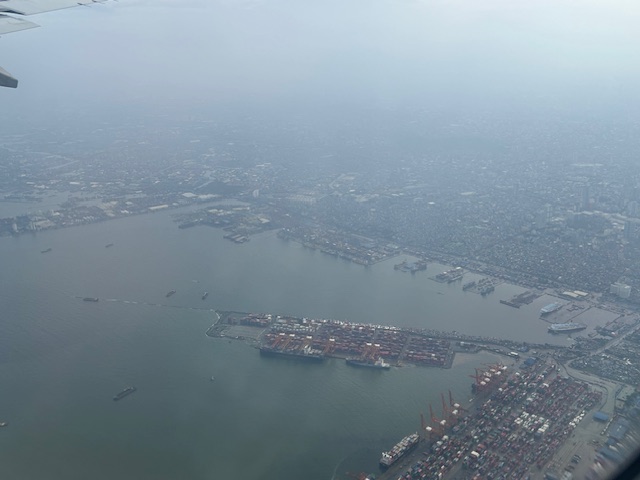
 As our plane turned left, we were able to see all three reclamation projects
 A close-up of the reclamation across the MOA complex. Also in the photo is NAIA.
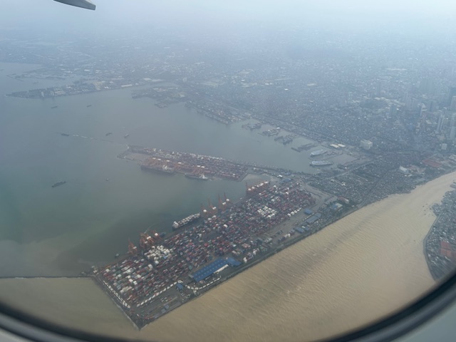
 All three reclamations in one photo as we continued to turn towards the south and southeast (towards Bicol).
More aerial photos soon!
–
Back in Bicol – arrival at Naga Airport
I posted about the airports in Daraga/Legazpi City and Davao City as I knew I would be traveling to Naga City and likely by air. That likelihood became certainty as horror stories of 14-16 hour travel by bus became unacceptable for short trips where the travel times by road exceeded our actual stay in the city.
More on Naga City in the next posts!
–
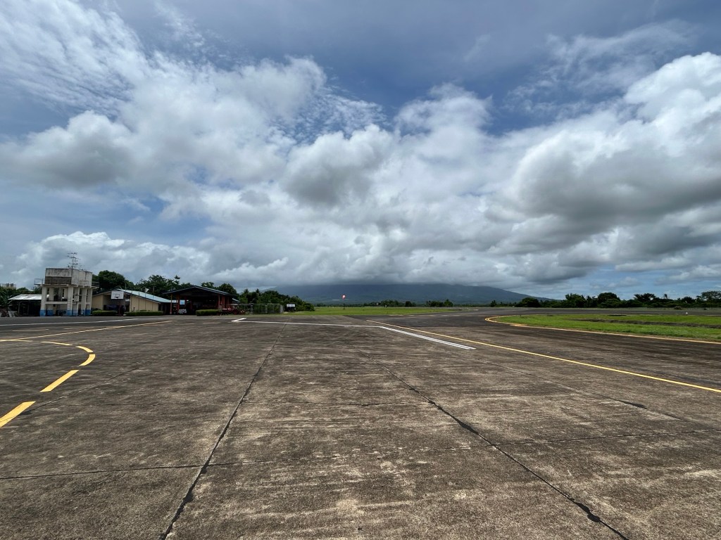
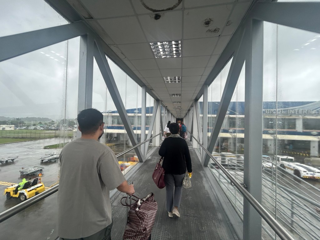
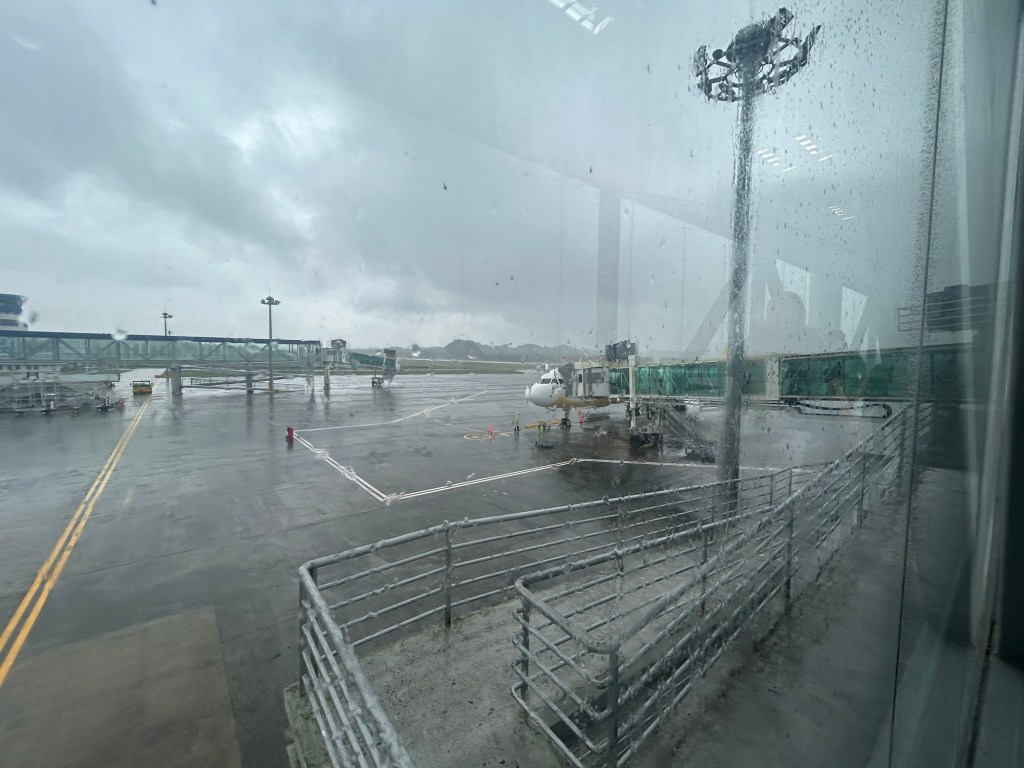
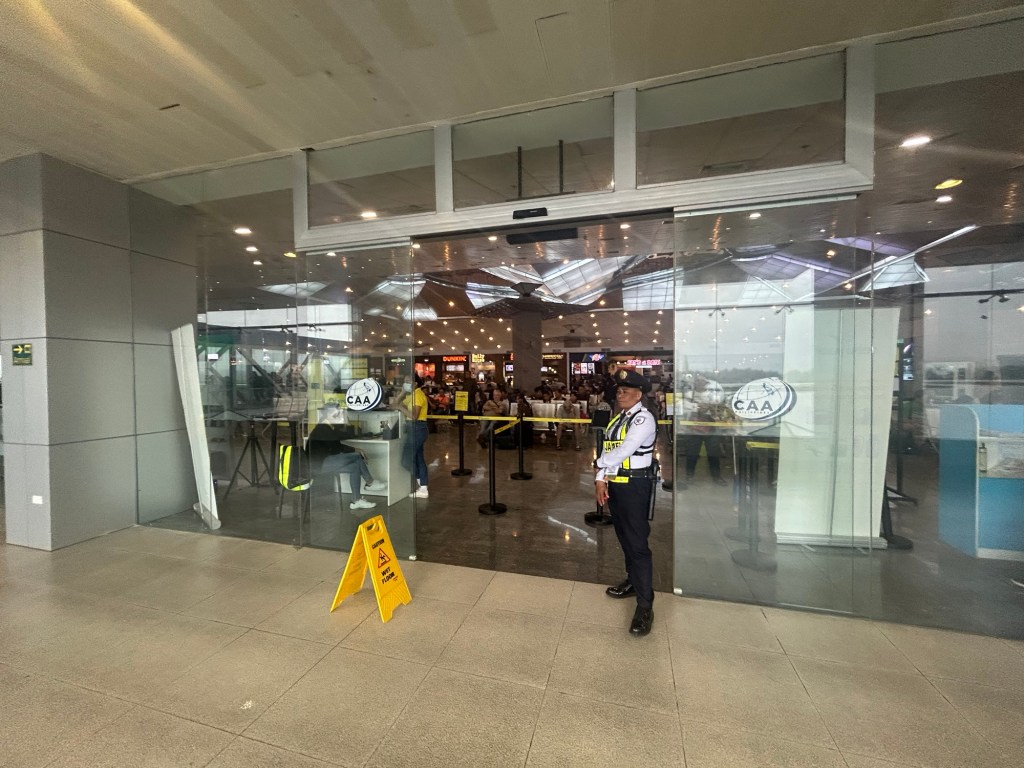
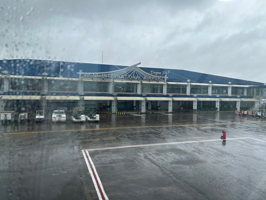
Bicol International Airport Departure
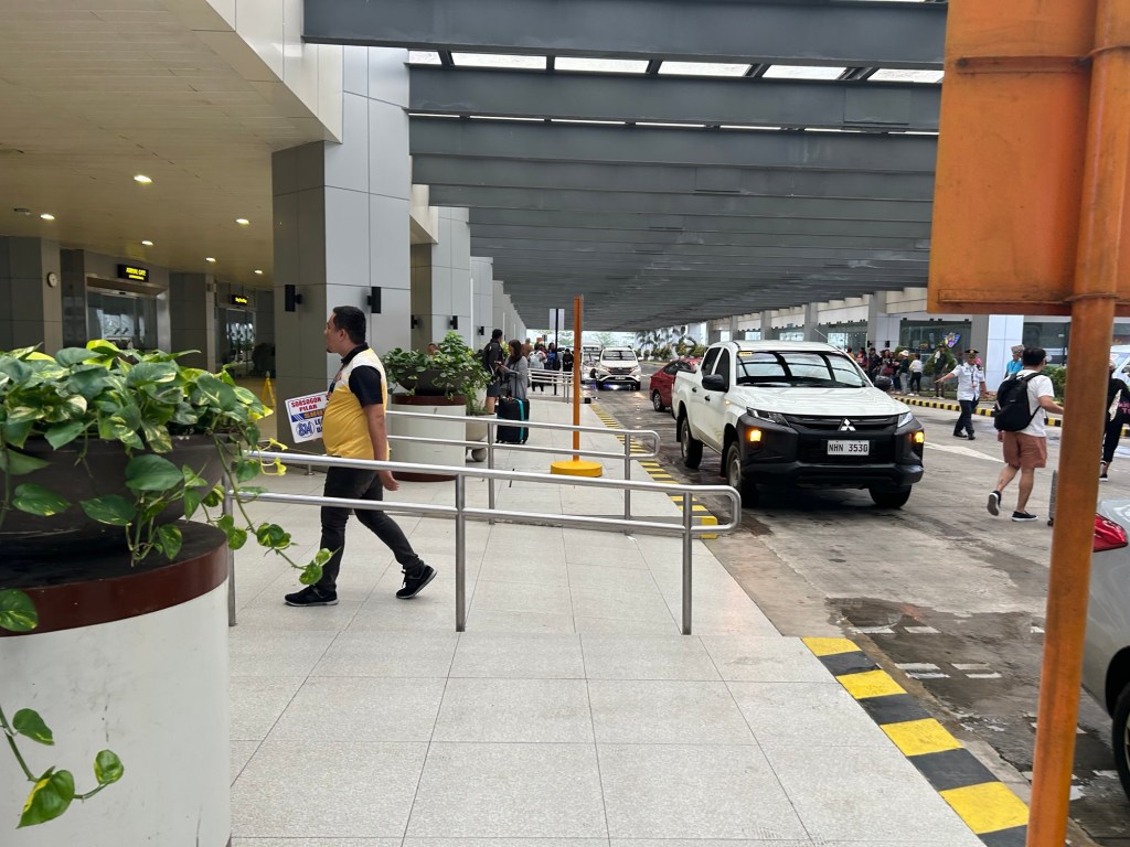
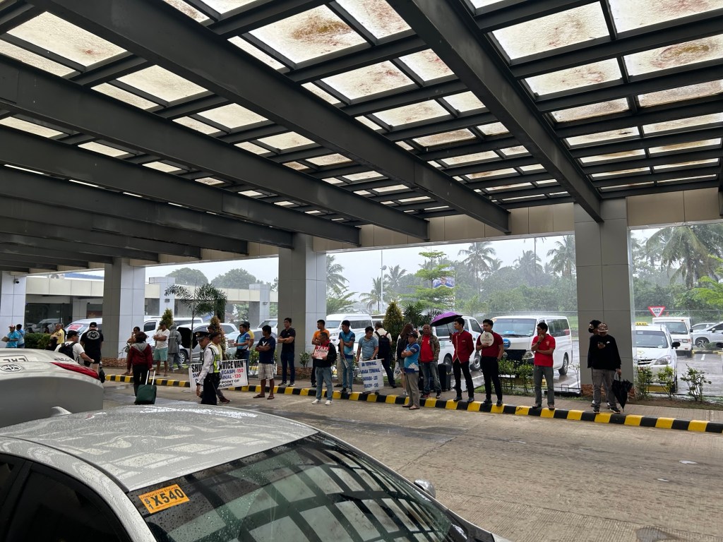
Before I go on another trip, here are photos I took of the Bicol International Airport prior to our departure from Daraga. We were just in time to check in for our flight back to Manila so I wasn’t really able to take as many photos as I usually did in other airports. I did take enough for a clear description of what to expect at this terminal.
 Arriving at the airport terminal’s departure area
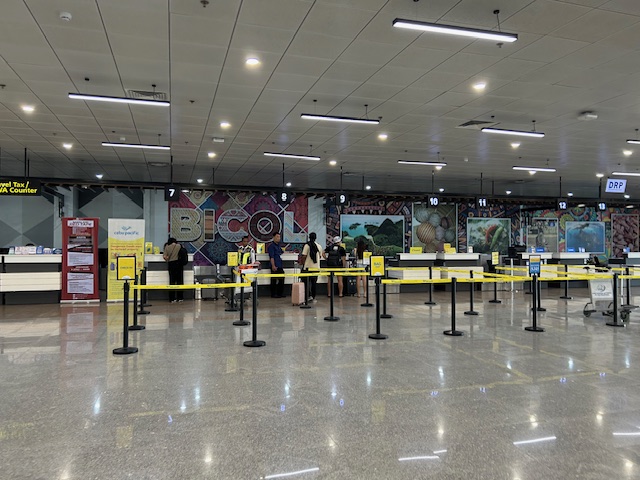 Check-in counters for Cebu Pacific
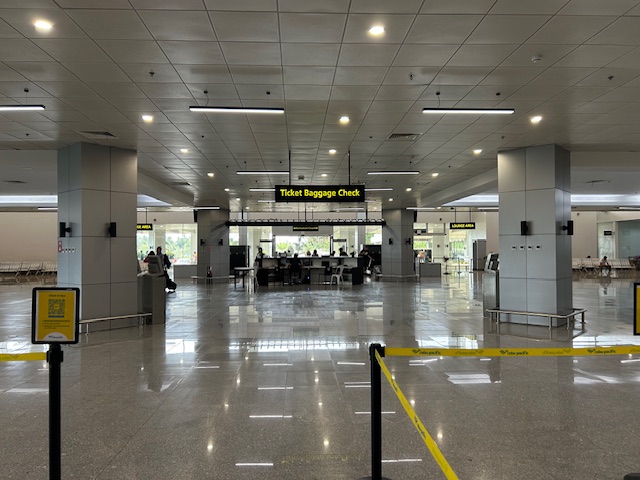
 The terminal features a spacious check-in area.
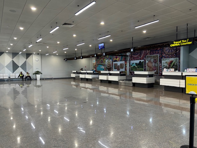 The area is more spacious than other, more busy airports like Iloilo and Bacolod
 I can imagine that even if there were more flights, queues will not result in the area being too crowded.
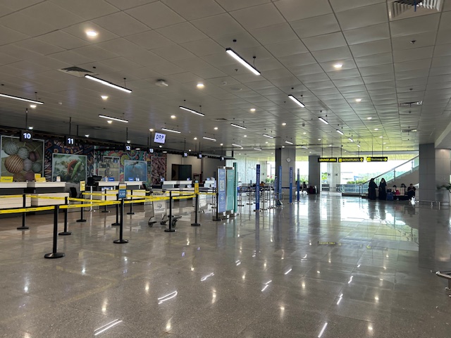
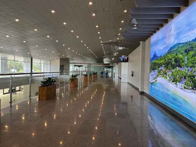
 Another angle seen from the check-in area
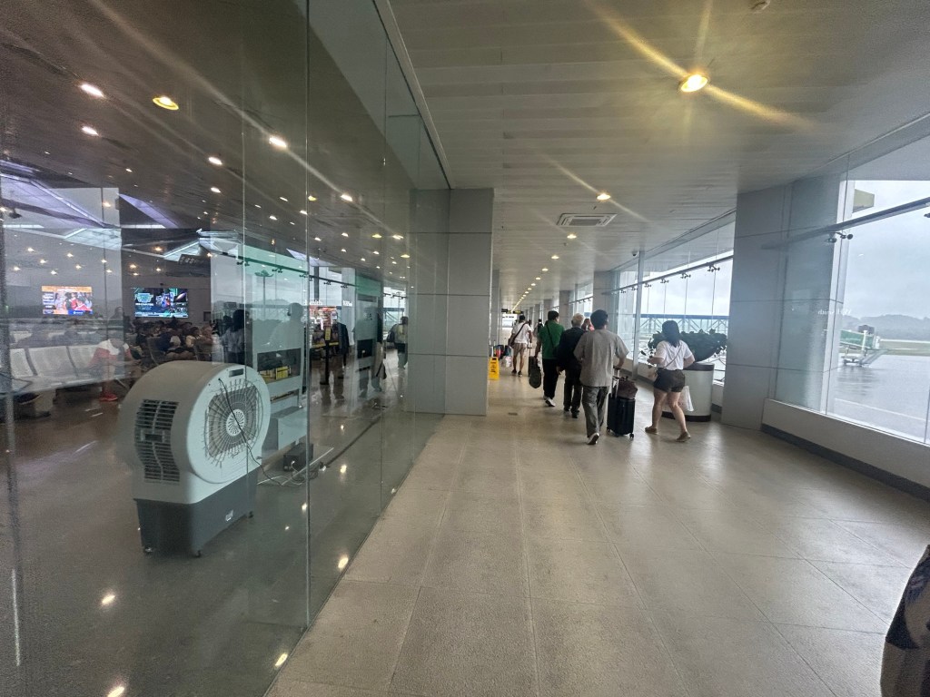
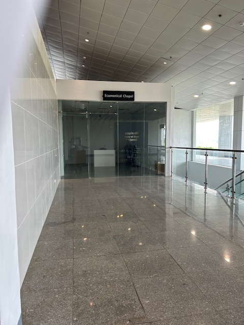 The corridors are also spacious.
 The terminal is well lit.
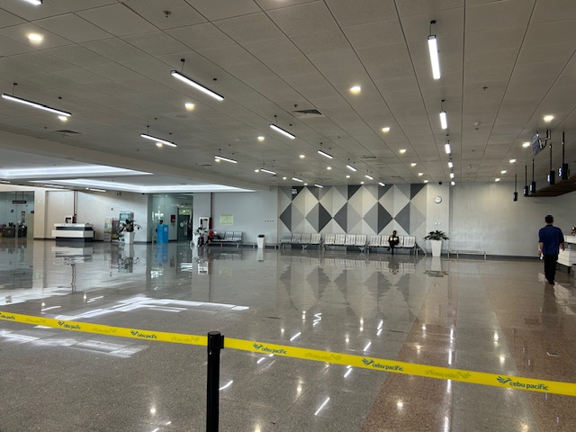
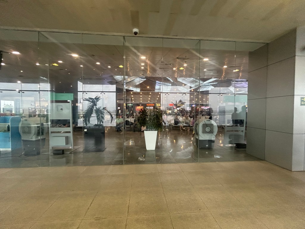
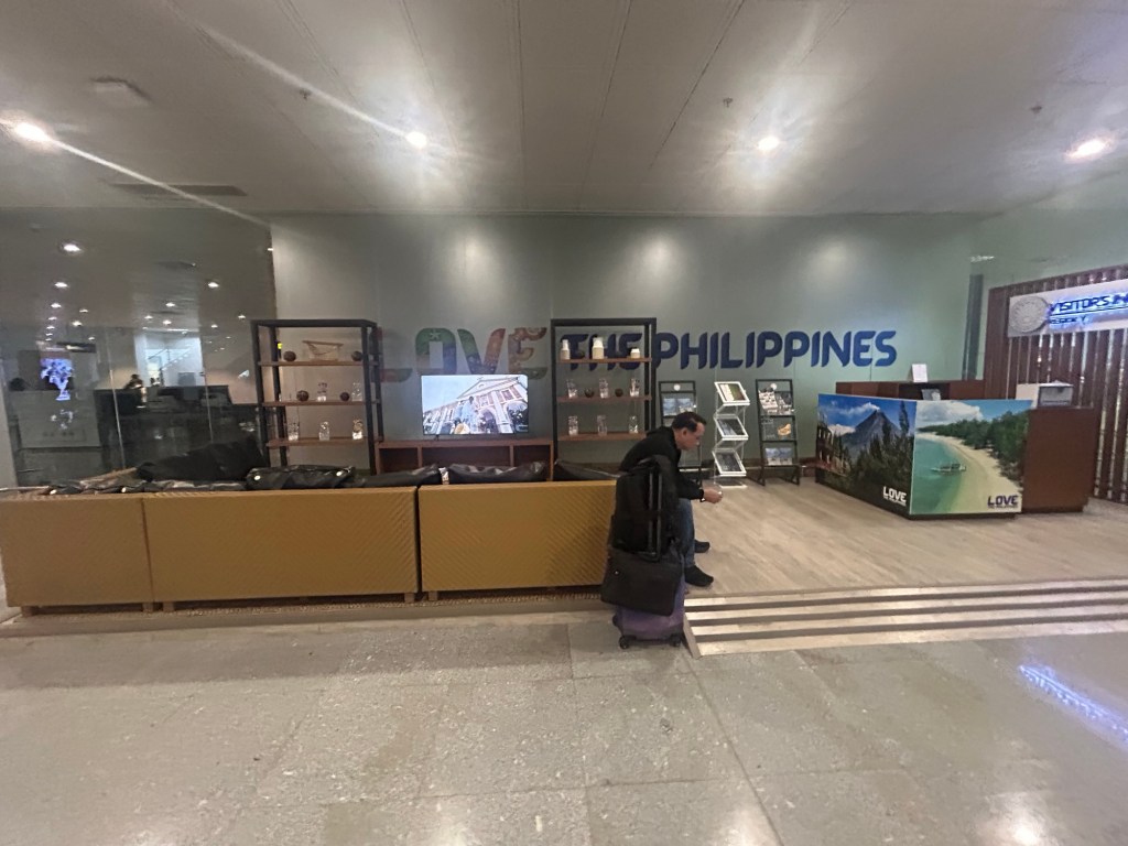
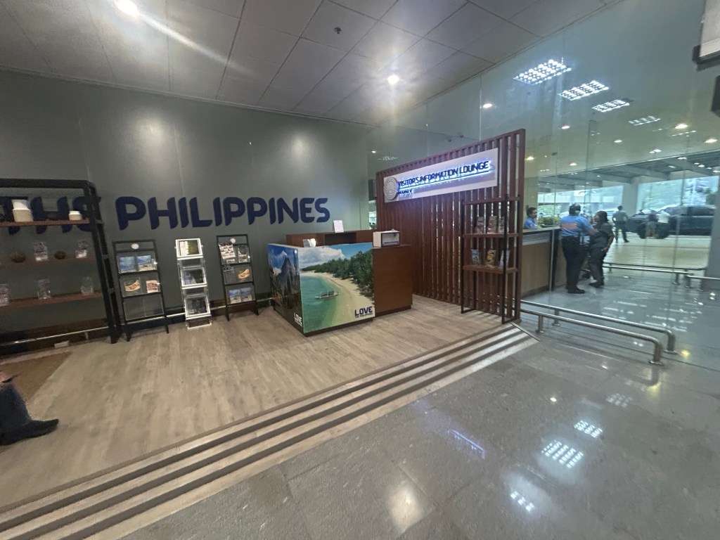
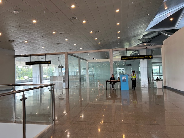 Entrance to the pre-departure lounge of the airport
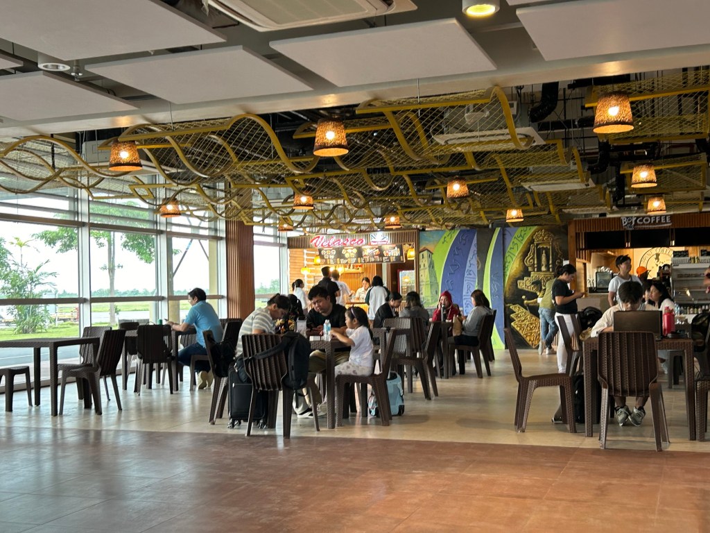
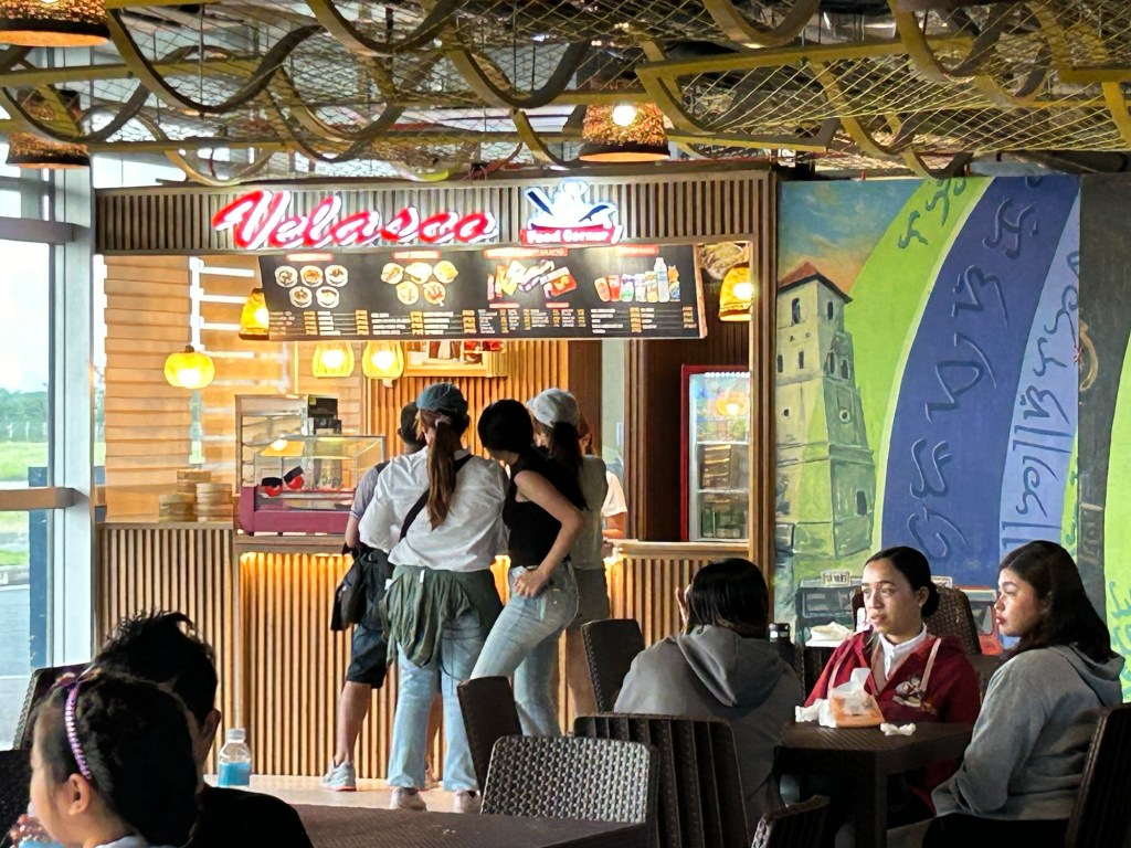
I already wrote about and shared photos of the pre-departure lounge including the shops and eating options there. I look forward to visiting Legazpi City and its neighboring areas soon and perhaps get a clear photo of Mayon Volcano.
–
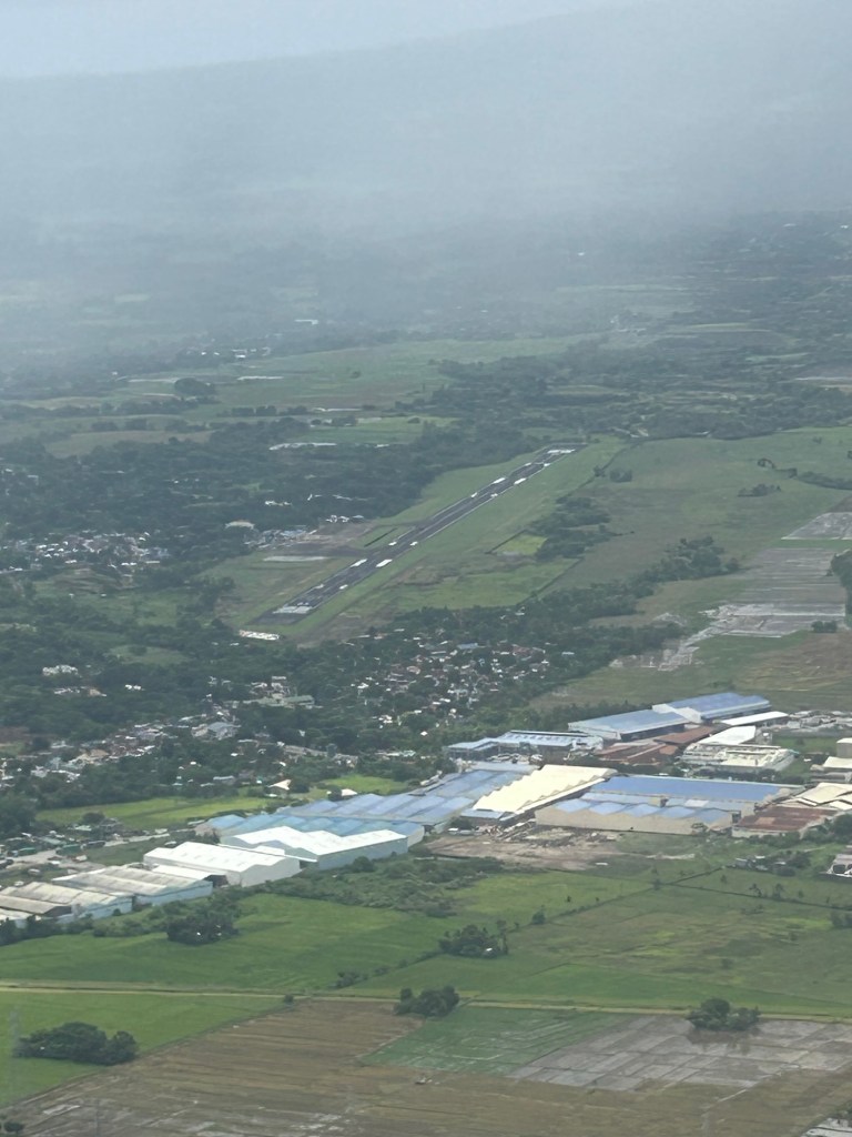
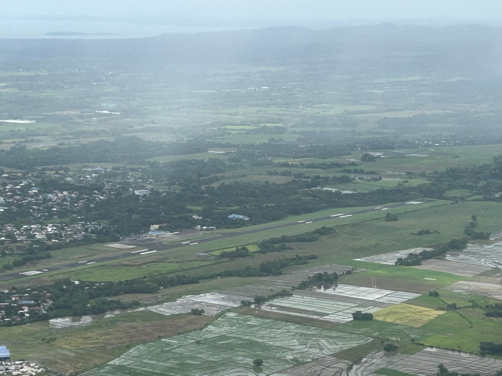
Bicol International Airport – first impressions
The Bicol International AirPort project started during the time of then Pres. Gloria Macapagal-Arroyo. The old airport could no longer be expanded or upgraded and was too close and oriented to Mayon Volcano, causing frequent disruptions to flights. The development was similar to Iloilo’s, Bacolod’s and Tagbilaran’s airports that had to be relocated to accommodate airport expansion including future phases of development. The airport was started construction during the time of Pres. PNoy and was completed in the term of Pres. Duterte.

The airport is spacious and orderly. I’m not sure how the situation is when flights are more frequent and when there are international flights but perhaps the terminal can handle these at least over the foreseeable future.
More on the airport soon!
–
Back in Bicol
I have not been to Bicol since before the pandemic in 2020. But that was in Naga City in Camarines Sur to which I have been a few times. I have not been beyond Naga City since my early high school days. That was my last travel to my mother’s hometown in Gubat, Sorsogon. I think that was when we traveled on the occasion of my maternal grandfather’s passing.
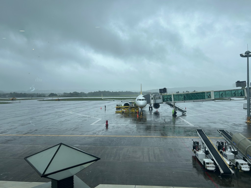
We arrived at Legazpi City yesterday via the Bicol International Airport in nearby Daraga. I was looking forward to this trip as I also wanted to see the new airport and, of course, Mayon Volcano. Unfortunately, the weather is bad and so I currently have not seen the volcano even during the plane’s approach to the airport.
More on Bicol and Legazpi in future posts.
What’s new in Panglao Airport? -Part 1
We were in Panglao, Bohol last April and I was disappointed to see there were no shops after entering the pre departure area. Also, there were only 2 kiosks inside. One selling the usual siomai, hotdog and noodles kind of food and the other operated by a popular hotel/resort.
I am glad that this time, there are more shops and eating options after the final security check.
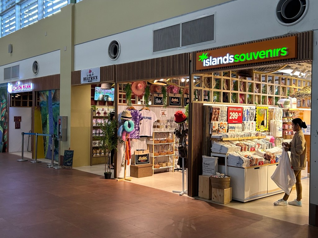

More on these new shops and stalls in the next post.
–
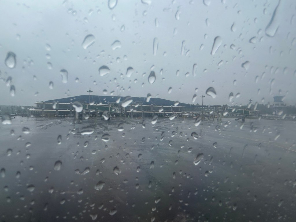
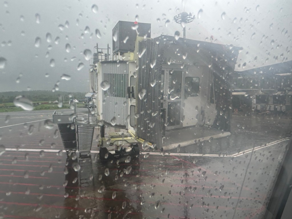
On the impact of more frequent lightning strikes on airports
We were waiting for our plane to arrive at the airport yesterday and can’t help but observe the heavy rains falling while a strong wind blows and causes the rains to fall at an angle. This renders umbrellas to be ineffective in keeping you dry if you’re outdoors. Such weather requires a long coat or even overalls to keep one dry on a very wet day. The rains and wind were brought about by a storm affecting the area. Though distant, the storm was able to influence the weather. Fortunately, there wasn’t any lightning and we wondered if lightning strikes have affected ground crew working in an open area that makes them vulnerable to lightning strikes. Here is an interesting article that describes the threat of lightning strikes particularly to people on the ground at airports.
King, R.E. (September 11, 2024) “Increasing Lightning Strikes from Stronger Storms Could Cripple Airports and Airbases,” Jalopnik, https://jalopnik.com/increasing-lightning-strikes-from-stronger-storms-could-1851645799 [Last accessed: 9/16/2024]
Quoting from the article:
“While flying planes are hardened to withstand lightning strikes, airports are typically a cluster of free-standing structures on a flat, open plot of land. The ongoing increase in lightning strikes caused by climate change is a direct danger to facilities and people on the ground.”
I wonder about similar data or statistics in the Philippines considering the long wet season we have that includes not just threats from typhoons but from seemingly small weather systems that may involve lightning strikes. I recall operations at NAIA were halted a few times when there were lightning storms. Is this phenomena. I wonder how many incidents at our airports have been reported and recorded pertaining to lightning.
–
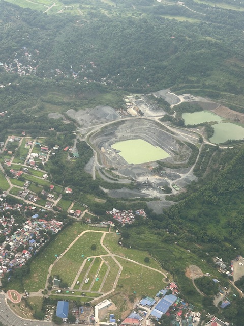
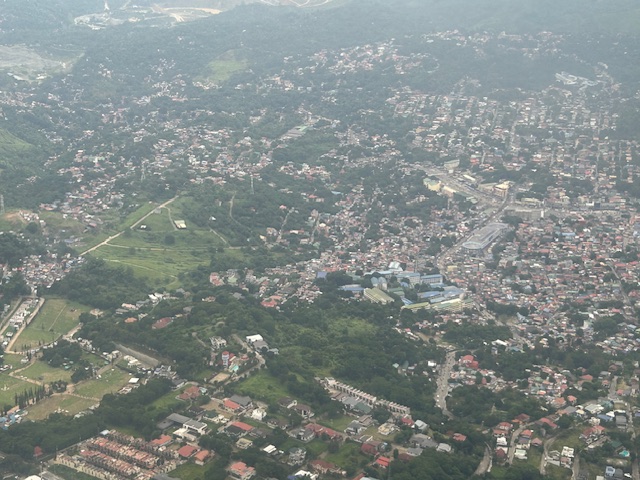
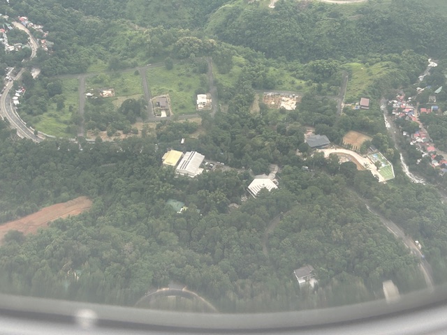
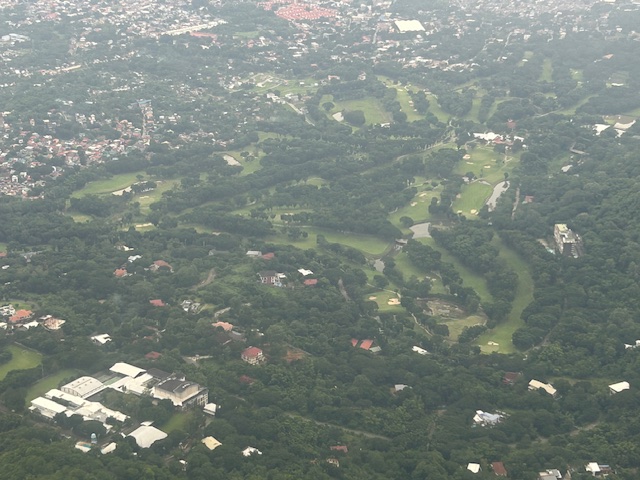
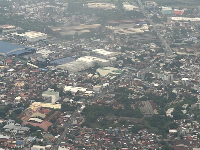
Aerial photos of Rizal
Following is a continuation of my recent post on aerial photos I took when I went to Iloilo for some meetings. This set is from our plane’s approach to land at NAIA. The path led us through Rizal province and the following photos mainly of Antipolo and Cainta.
–
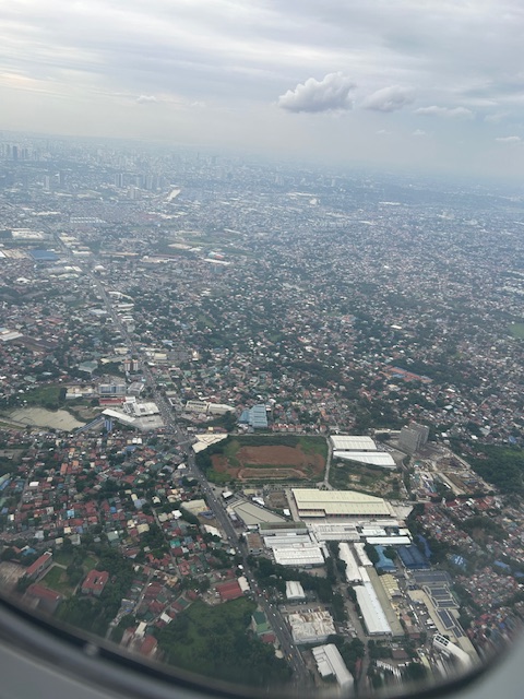
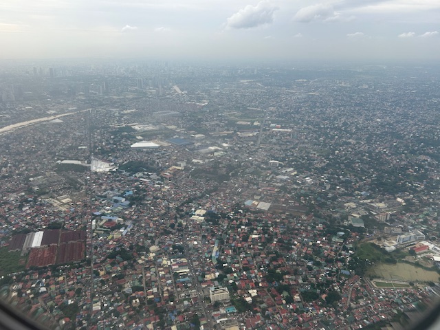
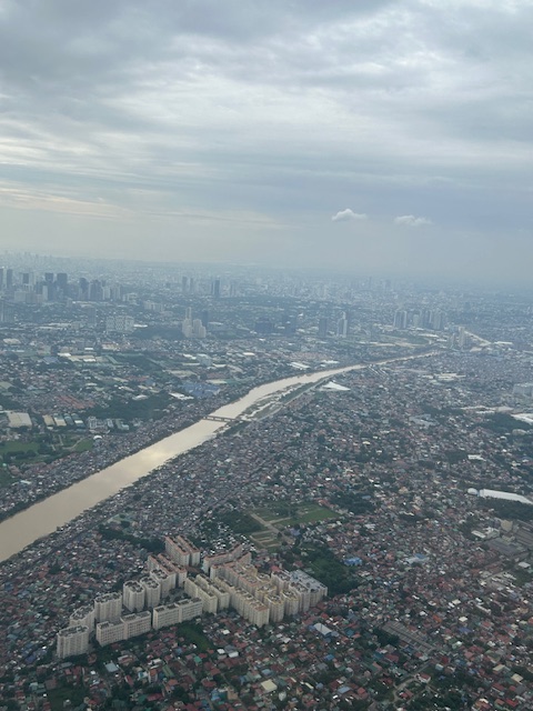
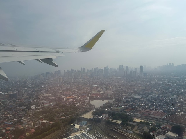
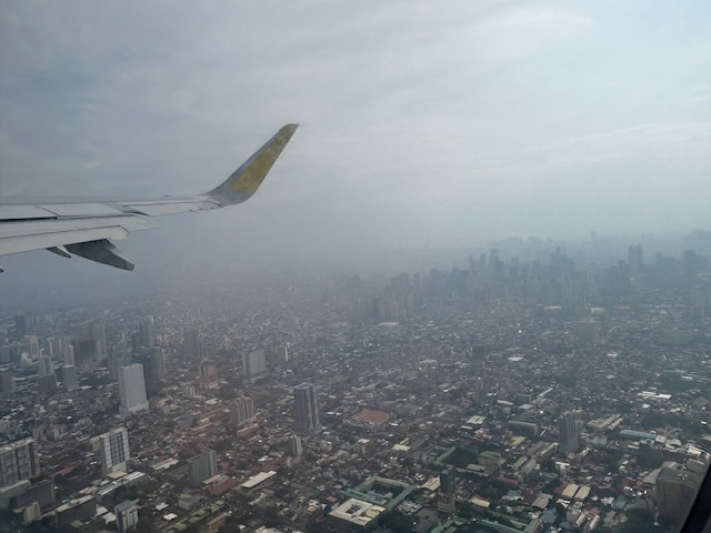
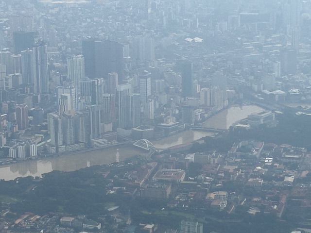
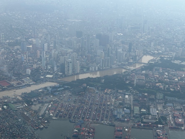
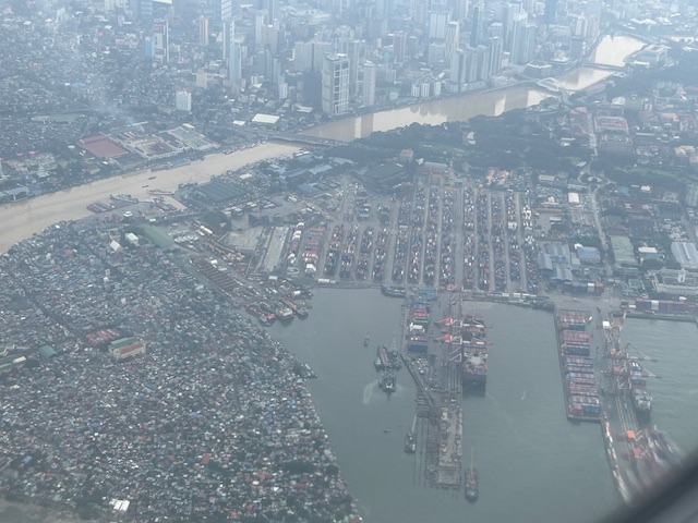
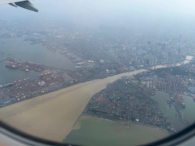
Post Habagat Aerial Photos
We flew to Iloilo just after the Habagat floods that ravaged much of Metro Manila and its surrounding provinces. As our plane took off from Runway 13-31, I figured there was an opportunity to take a few photos of Metro Manila especially as I was seated by the window of the plane.
More aerial photos to be posted here soon!
–
