
Home » Infrastructure
Category Archives: Infrastructure
On accountability, good governance and missed opportunities
Yesterday was the death anniversary of former President Benigno “Noynoy” Aquino III whom many fondly called PNoy. His administration saw many fiscal and policy reforms being implemented, resulting in perhaps the best economic performance of the country this century. Of course, they also benefitted from the developments of the previous administration but good sowing cannot result in a good harvest if what was planted was not nurtured to have a good yield in a timely manner. That goes without saying that there were also many low hanging fruits that were not picked for whatever reason the PNoy administration (his people, not necessarily PNoy) had. That included the Cebu BRT project that only recently was partly completed and operational.
Missed opportunities – I always wondered why there were no major infrastructure projects completed during the 6-year term of PNoy. I’m sure someone in the know can refute this but to most people, can we identify a major infra project completed during that time? Were there any new transportation projects like a rail or BRT line completed then? Were there new airports or terminals? Were there tollway projects completed (sections don’t count, we are talking about complete projects)? Any major bridges completed? What were completed mostly were policy and governance related items, particularly those intended to reform a system that was perceived as corrupt and inefficient. It was the same mistake the Cory administration did back in the late 1980s and early 1990s that led to energy and water crisis that the Ramos administration had to address. Of course, that administration had to deal with a lot of political destabilization attempts at the time. That administration had to deal with a lot of projects initiated or in the pipeline by the previous administration, which until now is being regarded as good examples of “what if” for transportation infrastructure. It took a long time, for example, before another mass transit line was constructed in Metro Manila. The reforms now currently being lobbied by various groups could have been done during the PNoy admin but were not. Hopefully, the current administration can catch up given some major players now including the DepDev Secretary were also involved back then.
–
More urban expressways for Metro Manila?
I’ve written about expressways before and particularly about where they probably are most suitable and where they shouldn’t be constructed. Here is the article I posted here in 2021: https://d0ctrine.com/2021/05/03/in-defense-of-expressways/
I will not comment anymore about the alignment of the proposed SALEX but here is a “without” and “with” elevated tollway that’s based on a photo of Padre Faura we took while doing a recon around the PGH compound last Friday.
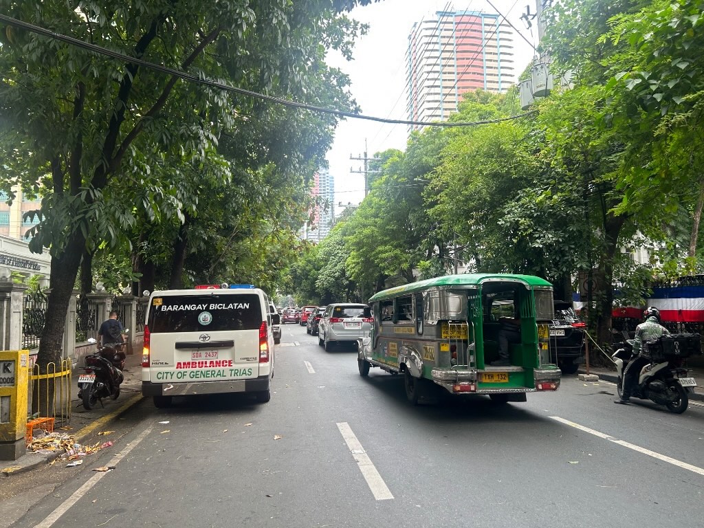 Photo of section of Padre Faura Street fronting U.P. Manila’s Museum of Ideas
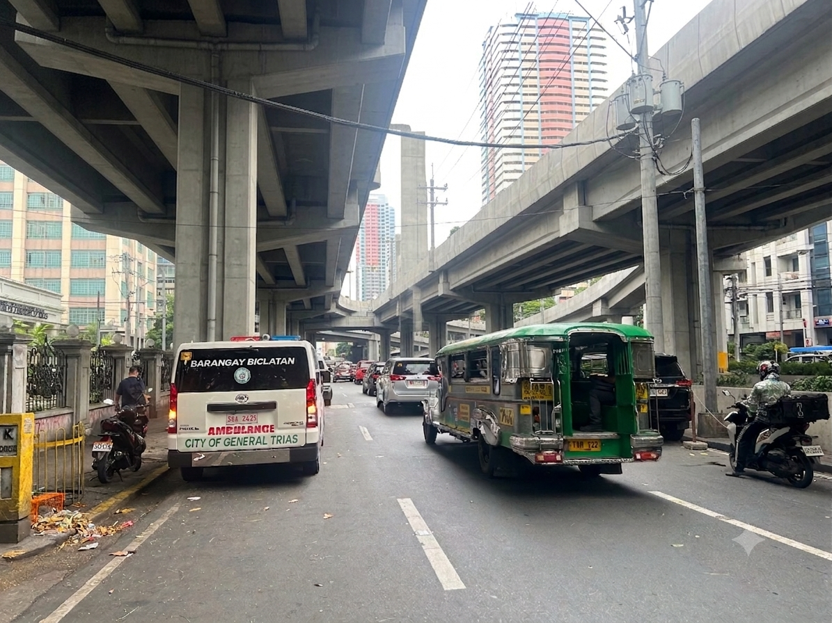 AI-assisted image showing the transformation of the section once the proposes SALEX is constructed. The elevated tollway should be higher than the renders you see on social media because there is the Line 1 along Taft Avenue.
Can the trees be saved? Maybe and by saved we don’t mean that they will be transferred. They should be retained where they are.
Why is San Miguel so intent in constructing these tollways? Is it really to “solve” Metro Manila traffic? Most objective, level-headed experts will tell you that the solution involved public and active transportation rather than more tollways. Who is whispering to Ramong Ang’s ears and advising him to build more of these tollways (and bridges)? Your guess is probably as good as mine…
–
A tollway over Padre Faura?
We had a recon survey of the streets surrounding the UP Manila and UP PGH compound this morning. We walked the entire time and got to see firsthand the conditions along the streets including Pedro Gil and Padre Faura. I’ve seen and read a lot about the proposed SALEX with an alignment that will have the proposed tollway above Padre Faura.
I can’t imagine the blight that the elevated tollways will have on Padre Faura. It will surely affect traffic along the street during construction. There is a lot of AI-generated renders of what it will look like. However, not clearly shown would be the effect of the tollway on a narrow street like Padre Faura. It will be higher than the Line 1 along Taft Avenue though so most renders you see on social media are incorrect in terms of elevation.
Were the establishments along Padre Faura consulted before the alignment of the proposed tollway was submitted for approval? That alone seems to be a glaring flaw in the PPP law considering the location of the tollway. Why is another tollway for construction in the metropolis when what are required are mass transit lines and better public transport?
–
From Blog to Vlog
I was checking the submissions of our students for an assignment that was given to them earlier in this concluding semester. As I watched and rewatched the vlogs they were supposed to create in relation to civil engineering, I was surprised to see this blog being cited by at least 3 students who chose topics related to transportation. I am not into creating videos or vlogs like those you find on YouTube or TikTok (at least not for now?) but I appreciate the production and creativity of many of our students as they attempted to articulate civil engineering and civil engineering history through their videos. Most amusing to me were one student who sang the entire vlog about her commute along Marcos Highway and another who used Minecraft for his vlog about construction. While I can’t share their work here due to privacy policies at the university, I can say that these among other excellent works by our students show that most of them understood what civil engineering was all about.
–
No more Panay-Boracay Bridge?
The news today included two items welcomed by various groups including environmental advocates. One was about the proposed bridge connecting Boracay Island to Panay. The other was on the halt on the tree cutting related to the SALEX project. Both involved San Miguel Corporation. I wrote about the proposed bridge last April and how it was not at all a necessity considering the character of Boracay. It would have been a folly to build a bridge, free or tolled, to a small island that’s main attraction is its beaches. Unlimited, easy access would bring droves of people there and lead to faster deterioration of the conditions including the environment. If the government decides on another freeze in activities for the island to recover, that will surely mean losses for the bridge concessionaire. Do we really need to bring in more traffic to an island that’s exceeded its carrying capacity?
I have not written about the tree-cutting but have written about the loss of trees elsewhere including roads where we have done fieldwork along in the past. I recall the Kamatchile trees that used to line up along long sections of McArthur Highway in Tarlac. They’re lost now after the DPWH cut them down for their road widening projects. The same happened to other trees, including very old one that are hard to replace, along other national roads in many provinces where DPWH implemented its road widening projects despite having no demand for it in many cases. This is the problem if the main Key Performance Indicator (KPI) of the DPWH is kilometers of road widened. Of course, in this case, the question is if the tollway is actually necessary. My frustration and disappointment is that government keeps encouraging tollway development with the private sector when the biggest challenge is the development of mass transit systems for our rapidly growing cities. The incentives should go there instead of more tollways.
–
Another ‘a bridge too far’?
Earlier this month, I was reminiscing about a trip I made before the pandemic. I was in the Netherlands during one Holy Week to participate in the final defense of a PhD dissertation. I was the external panelist and was invited to be there in person. This was prior to the pandemic and the preference for online participation. I took advantage of the travel to make a side trip to a few locations I previously only watched onscreen. Several bridges there were subject of a World War II film, “A Bridge Too Far.” This was about the bridges the allies attempted to capture during Operation Market Garden. The term “a bridge too far” is now used to refer to the folly of going beyond what can really be achieved. It can also be used to refer to something (including bridges) that one sought to build or create but is just not called for or required.
I wrote in the past about projects that are nice to have but are not necessary or priority. These included bridge projects that are supposed to connect major islands in the Philippines. Given the limited resources we have and the long list of infrastructure projects that need to be prioritized, these shouldn’t be on top of a city’s or province’s list over projects like transit systems, affordable housing closer to workplaces and schools, and schools. And even if we did commit to bridges, it doesn’t make sense to build them where they are likely to cause more damage than benefits. One such bridge that is now in the pipeline and currently making the rounds of social media pages is the proposed bridge connecting Boracay Island to Panay Island. It simply doesn’t make sense to make a tourist attraction like Boracay more accessible to even more people. The island already exceeded its environmental carrying capacity many years ago and more people via this bridge will definitely be disastrous to its ecosystem aside from the social and economic impacts of the bridge.
I googled the land areas of three islands where bridges are proposed for construction. Here are the results:
“Guimaras is the largest of the three at roughly 611.87 square kilometers, followed by the Garden City of Samal at 301.35 square kilometers and Boracay, which is the smallest at only around 10.32 square kilometers. Guimaras is a province, Samal is a component city, and Boracay is a tiny tourism-focused island.”
While it might make sense for such bridges to be built to connect Iloilo with Guimaras and Davao with Samal Island, it doesn’t make sense for Boracay’s case. Guimaras and Samal will be better served by the bridges across many aspects of their being local government units and not just a tourist attraction. Guimaras’ mangoes, for example, can be transported more efficiently to Iloilo where a world class port can transport the fruits in bulk to destinations where they are in demand. The bridge will also ultimately link the island province to Iloilo’s airport. Both Guimaras and Samal have nice beaches and resorts but they are not the only attractions or activities of these islands. Granted that boatmen and maritime transport between the islands will be affected by the bridges, the impacts can probably be alleviated by a shift in their livelihoods (of course, with the assistance of government and partners). The perception is that Guimaras and Samal stand to gain more in terms of benefits while Boracay will deteriorate should it become so easily accessible.
–
Article share: Why Complete Streets Design Benefits Everyone
Here is another quick share of an article; this time on Complete Streets. I guess many are aware of the AI-generated street transformations that are now being shared across many social media platforms. These show street transformations of many sections and intersections.
Source: Why Complete Streets Design Benefits Everyone
Again, it is important to have context sensitive solutions. This extends to street transformations. Some may look cool (AI tools have enabled non-architects, non-engineers, etc. to produce nice renderings) but should be tempered for the street or highway functions as well as the actual volume of people and vehicles running along these.
–
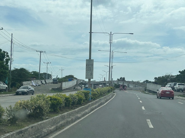
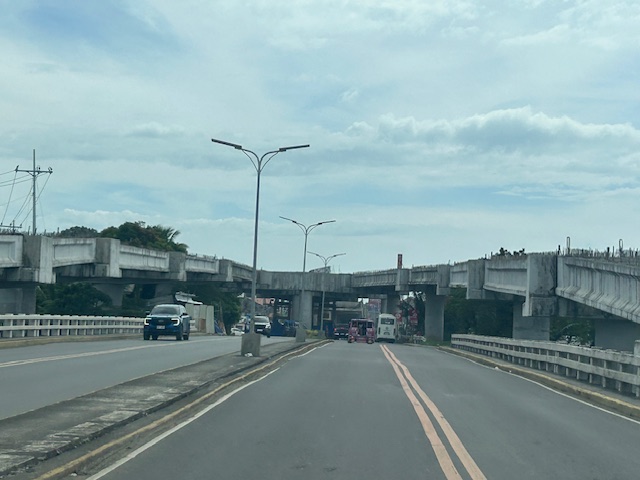
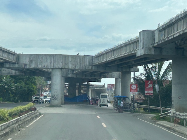
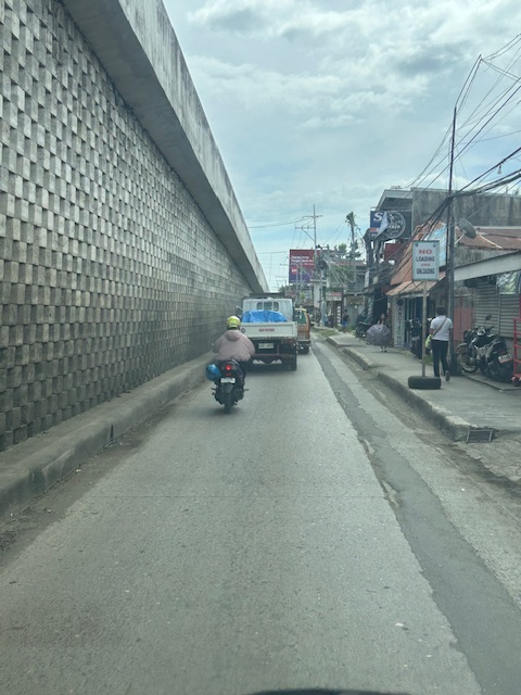
The unfinished Ungka flyover in Iloilo City
The Ungka flyover generated much controversy in Iloilo not just because it remain unfinished but the reasons why it is not completed. I assume that since this is a government project, budget is not really an issue. Projects like this can always have allocations as long as it sticks to the budget or any reasonable and justifiable adjustments (read: additional funds) for its completion. However, there are technical rather than budget issues that need to be addressed and which have major implications on the budget if retrofitting is required and undertaken. Otherwise, the capacity of the overpass is compromised and it will not function as originally planned. Following are photos I took last year coming from the airport to the city.
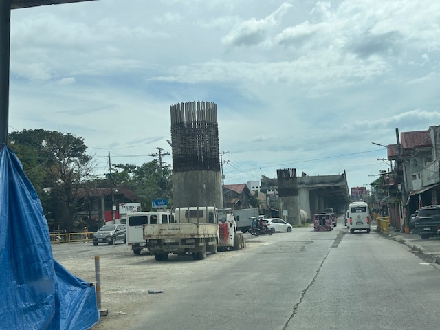
I decided to finish and publish this now as there is news that construction recently resumed. Hopefully, the issues have been addressed and this long delayed project can be completed to help alleviate congestion in the area.
–
At long last, the Cebu BRT is finally running
After more than two decades, the Cebu Bus Rapid Transit (BRT) is finally operational (partly). I think I wrote about the BRT numerous times here. I was involved in the social marketing of the BRT to major cities almost 2 decades ago. At that time, only Cebu City was receptive to the idea as Metro Manila was more engrossed with railway projects that also took much gestation time. I was also involved in the pre-FS for Metro Manila BRT’s so I can say this has a lot of history and political economy about it.
Here is a report from Rappler via their official Facebook page:
https://www.facebook.com/share/v/1J3Fpmar16/
I already look forward to the next trip to Cebu to have a first hand experience of the BRT there. I wanted to share photos from the internet here but perhaps I can wait til I have my own photos to share.
–
On at-grade crossings and footbridges
Here’s a quick share of an article on how at-grade crossings are generally better and preferred over footbridges:
When Footbridges Cost Lives and At-Grade Crossings Save Them
The article effectively articulates the case for at-grade crossings and presents the facts and references in support of these crossings. I will only add here that context is still important along with an appreciation or understanding of the volume of traffic and occupancy of vehicles along the roads. Commonwealth Avenue, for example, requires footbridges but there should be better designs for these footbridges than the current ones along this highway. I think we lack good designs that we can refer to and this leads to a summary dismissal of footbridges where they are actually most suitable.
–
