
Home » Infrastructure (Page 2)
Category Archives: Infrastructure
On at-grade crossings and footbridges
Here’s a quick share of an article on how at-grade crossings are generally better and preferred over footbridges:
When Footbridges Cost Lives and At-Grade Crossings Save Them
The article effectively articulates the case for at-grade crossings and presents the facts and references in support of these crossings. I will only add here that context is still important along with an appreciation or understanding of the volume of traffic and occupancy of vehicles along the roads. Commonwealth Avenue, for example, requires footbridges but there should be better designs for these footbridges than the current ones along this highway. I think we lack good designs that we can refer to and this leads to a summary dismissal of footbridges where they are actually most suitable.
–
What’s left of NAIA Terminal 4?
When we landed at NAIA last Saturday, our plane passed Terminal 3 to what we thought were the usual spaces for transporter interface with the terminal. We passed the area and proceeded to where Terminal 4 used to be. T4 was the Manila Domestic Airport or MDA in old documents.
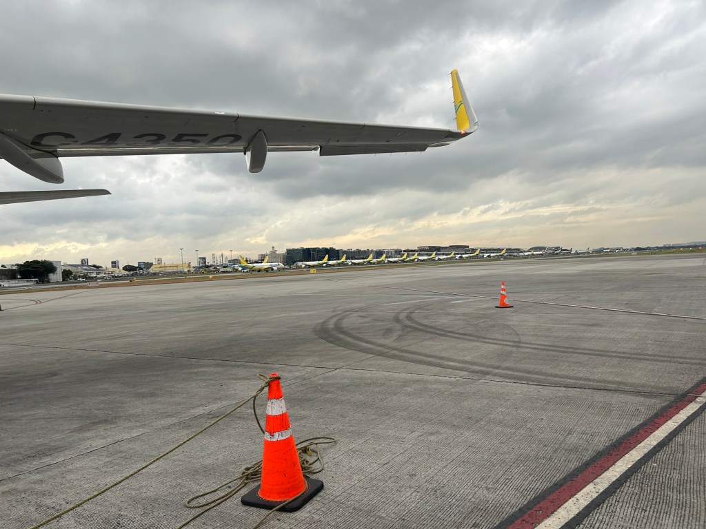
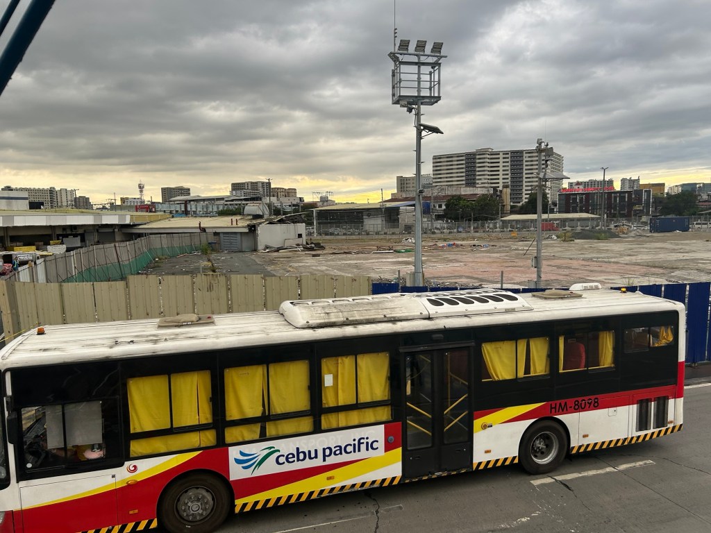
The terminal building was demolished last year as part of San Miguel’s airport redevelopment that included building an extension of Terminal 2 and a new Terminal (5?) where the Philippine Village Hotel and Nayong Pilipino were located. A new terminal will also be built where the old one stood. How does this relate to the airport being developed in Bulacan? Will this be complementary airports like Narita and Haneda? Or perhaps like Don Muang and Suvarnabhumi?
–
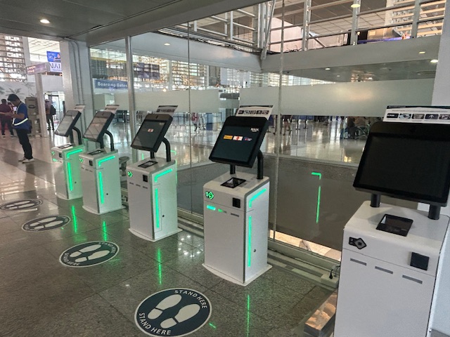
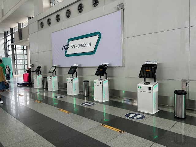
New self check-in portals and turnstiles at NAIA Terminals 2 and 3
With the holidays coming up, travelers using the NAIA terminals should also note that there are new self check-in portals at the airport. I noticed in two recent travels (one via Terminal 2 and another via Terminal 3) that people taking Cebu Pacific and Philippine Airlines were not using these. Ceb Pac passengers in particular crowded over their portals near their check-in counters at T3. Walang pumapansin nitong mga bagong terminals that could save you time when you check-in. Here are photos of the ones at Terminal 2:
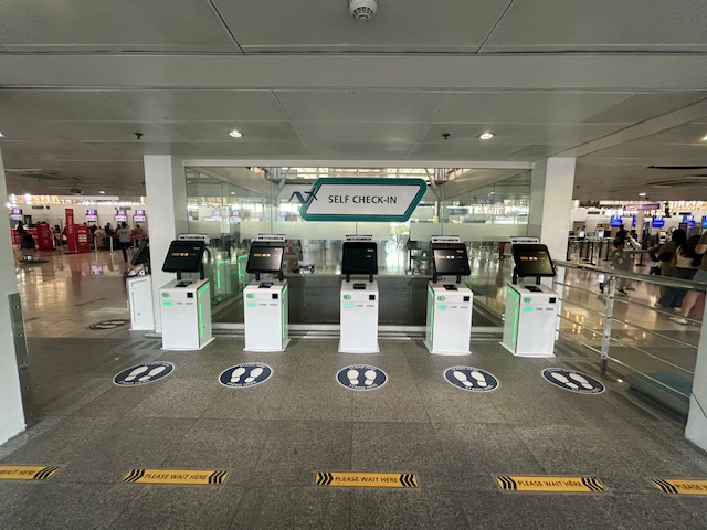 The areas where these were installed weren’t crowded.
 You can use these for Cebu Pacific, Air Asia or Philippine Airlines.
 You can get your boarding passes and luggage tags here.
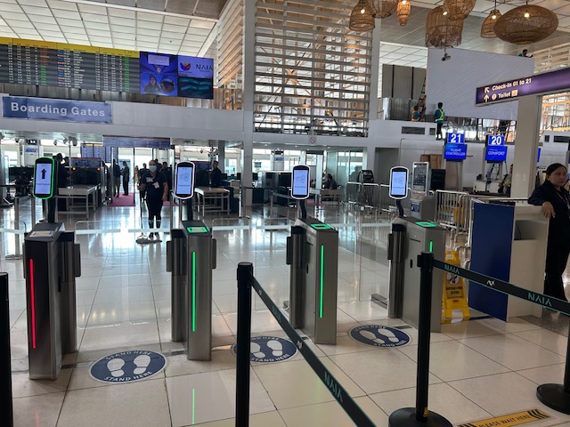 NAIA admin has also installed these new automated turnstiles prior to the final security check and the boarding gates at Terminal 2.
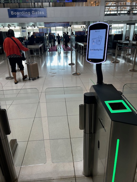 You just need to scan your boarding pass for the barrier to open. I haven’t used any of the LRT/MRT lines lately but this is basically the technology we’d like to have for the station turnstiles.
 Here are the self-check portals at T3. Of course, they would have even greater utility if more airlines are included for self check-in.
Mactan Cebu International Airport (MCIA) terminals already have these new features for quite some time. It’s good that NAIA is finally catching up in modernizing its facilities. For the turnstiles, that tech should have been installed at train stations and a variant should allow for a variety of means for payment of fares.
–
Railways construction progress in Luzon
I’m currently attending the Philippine Railway Conference. The presentations so far have been informative especially about the progress of rail projects in the country. Most if not all of these projects are in Luzon, which includes Metro Manila. Here are the progress of work as shown in the photos of the slides I took during the plenary sessions this morning.
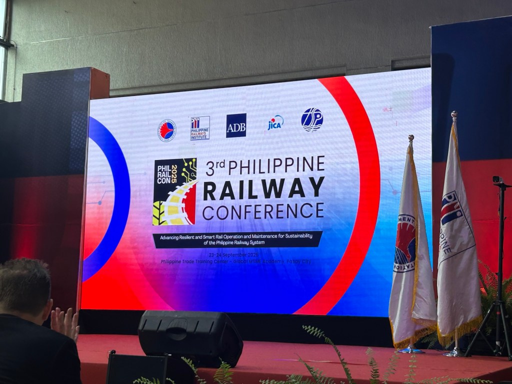
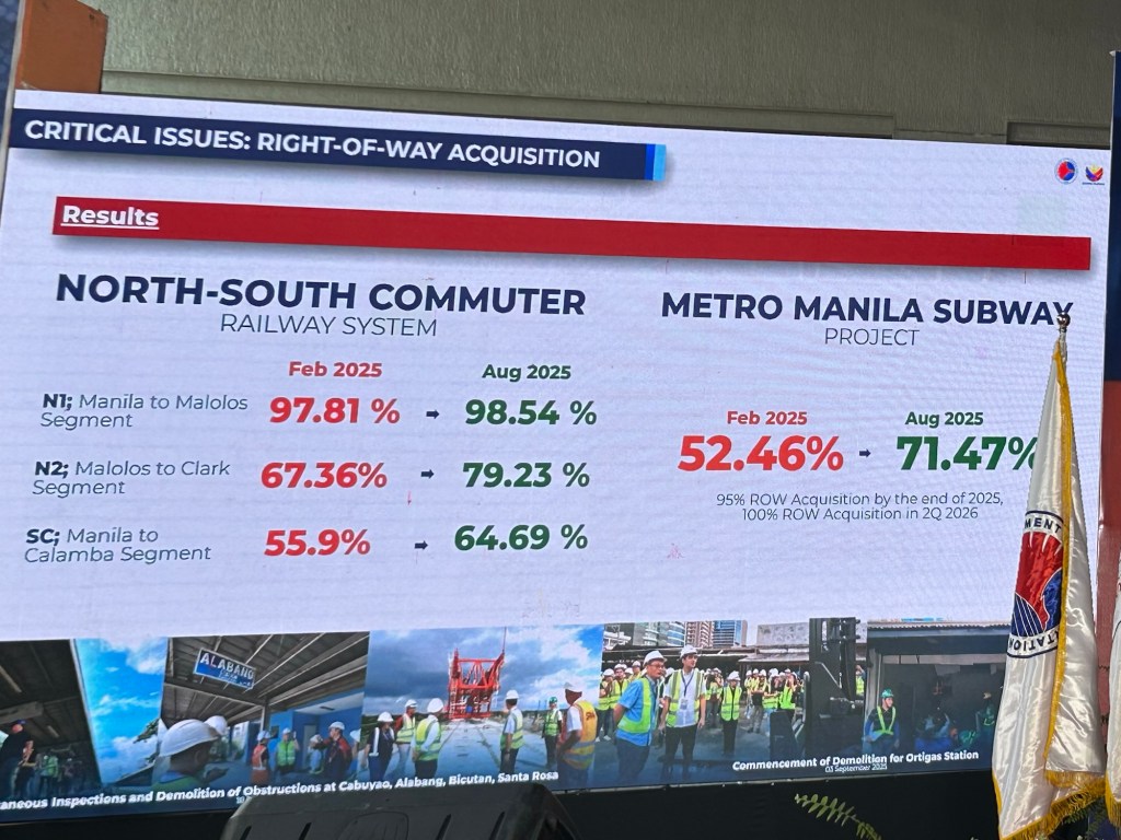
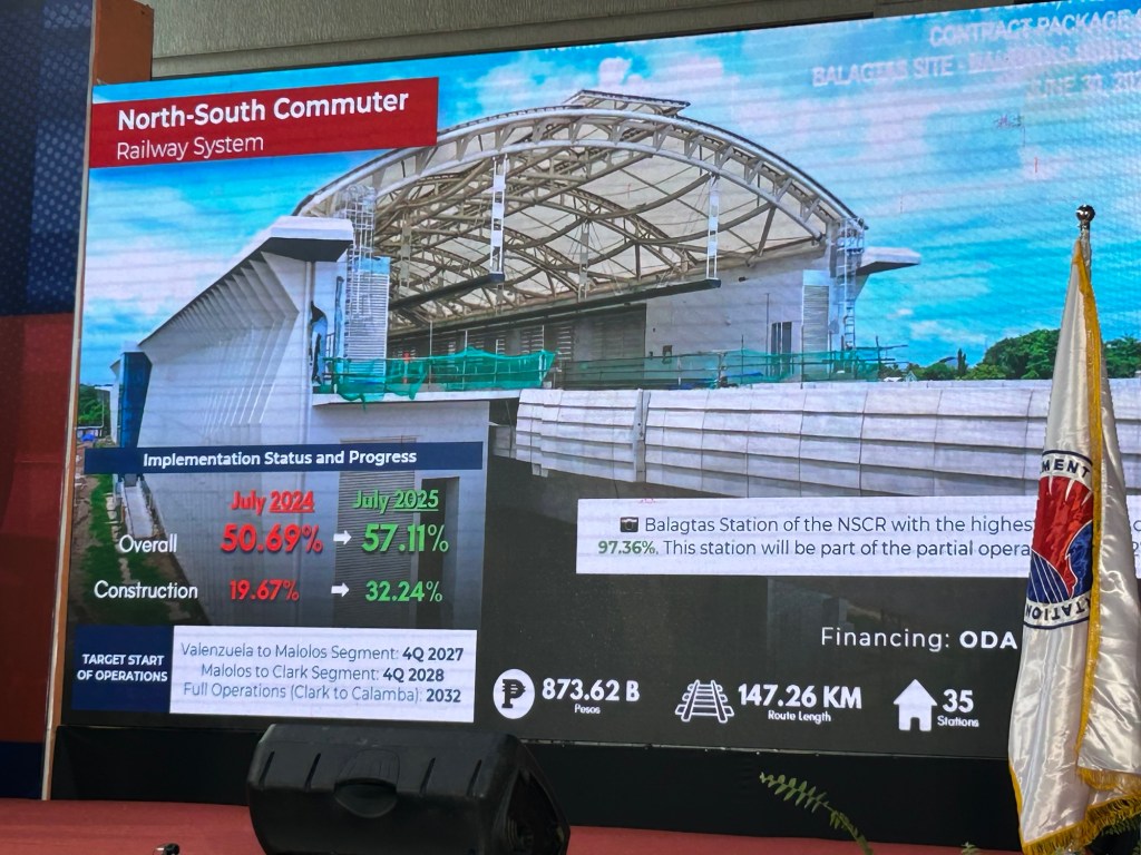
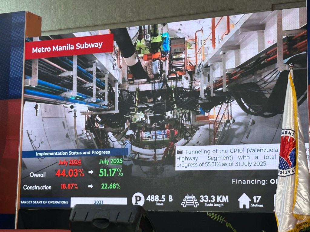
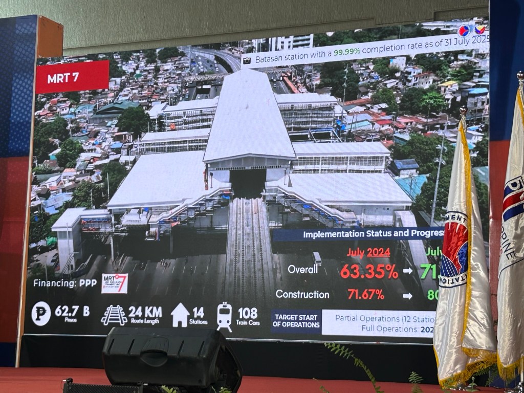
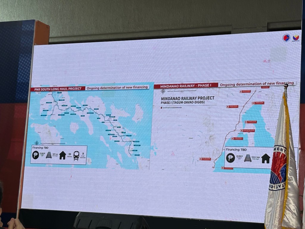
Based on the presentations, these railways currently under construction will be ready or partially operational by 2027. What do you think about the progress of work?
–
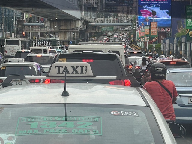
Traffic congestion along EDSA
I’ve taken some photos of EDSA traffic as well as the EDSA Carousel buses. Here are the more recent EDSA photos I took as I traveled from Makati to Quezon City after serving as a panelist in the Energy Transitions Dialogue last Wednesday.
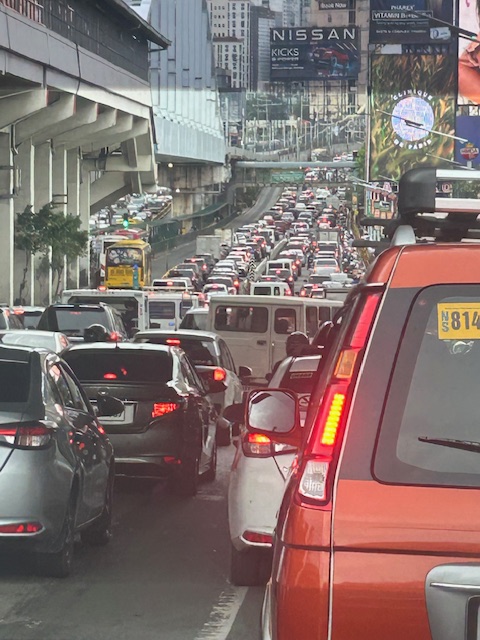 I took this photo as we passed Guadalupe. I like this in the sense that it shows the clear ROW for the EDSA Carousel buses. One wonders why most of these motorists would prefer to drive their vehicles rather than take the bus or the MRT.
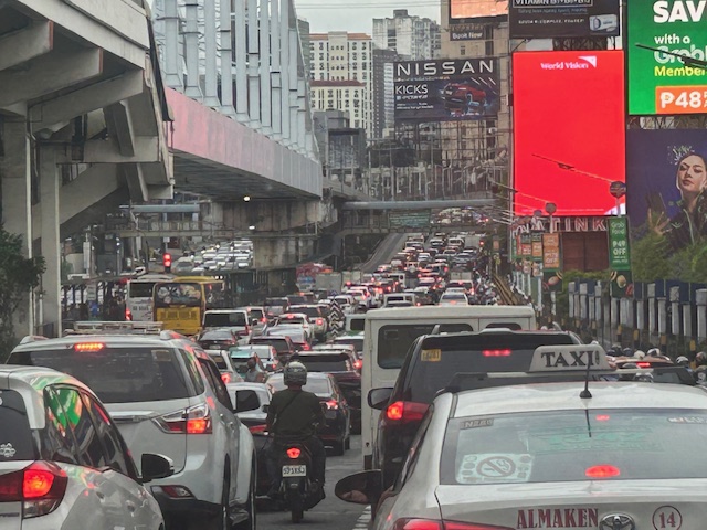 You can see in the photo that EDSA’s northbound side is clogged as far as the eye could see. If you check the image under the MRT bridge, it shows the southbound side was also congested. These photos were taken around 4 PM so this was still an hour before most people would be going home from work.
 I mentioned in my comments at the panel that one consequence of giving number coding exemption to electric and hybrid vehicles is that this further diminishes the effectiveness (is it still effective?) of the MMDA’s number coding scheme. I don’t have the stats of how many EV’s and hybrids are registered and running in Metro Manila. Those numbers combined with actual counts will tell us how they are impacting traffic. That would be a nice topic for a paper. 🙂
The photos pretty much describe the transport situation in Metro Manila. Many of our major cities will be heading this way unless they improve their public transportation fast. If they do, then public transport mode share will be sustained if not increased. Metro Manila’s is already being eroded by inefficient public transport, motorcycles (including taxis) and perhaps unintentionally, electric and hybrid vehicles.
–
Our clear and present problem with DPWH and certain contractors
I was going to write about the new taxi service and TNVS I used recently during this long weekend. Unfortunately, I lost focus and “gana” after reading about the collusion among DPWH officials and certain contractors about flood control projects. Here are my sentiments today that I shared on my social media account:
“Bakit walang pasok bukas? Kasi may nagbabadyang masamang panahon. Baka bumaha? Bakit babaha? Alam na siguro natin ang sagot sa tanong na ito? Damay-damay na yan. Resilience na lang ba ng mga taong nagbabayad ng buwis ang kasagutan? Di ba dapat may managot sa kung bakit patuloy tayong binabaha samantalang bilyones o trilyones ng kaban ng bayan ang ginagastos? Naiisip ba natin na yung pinagpaguran, pinagpapaguran at pagpapaguran natin ay napupunta sa mga nanlalamang? Wala nga siguro silang nararamdaman at napapansin habang nakasakay sa kabilang magagarang sasakyan. Tayo naman, hanggang tiis sa paglusong sa baha at mag ‘abangers’ sa anunsyo ng walang pasok.”
With the recent revelations of these contractors having the propensity to purchase luxury items like expensive vehicles, do we still wonder why these people cannot feel what ordinary people experience during these times of inclement weather? Hindi nga siguro maramdaman ang baha o ang mga lubak sa daan pag naka SUV ka. To be quite direct about this, I would like to personally drag them to experience the floods and maybe submerge their homes for a few days so we’re even. I am probably not alone with my sentiments.
Flood control is probably just the tip of the proverbial iceberg. There are just so many other projects including roads and bridges that also need to be investigated for anomalies. Will the current administration act on this? Or are we just being taken for a ride with all these lip service and grandstanding by politicians and government officials?
–
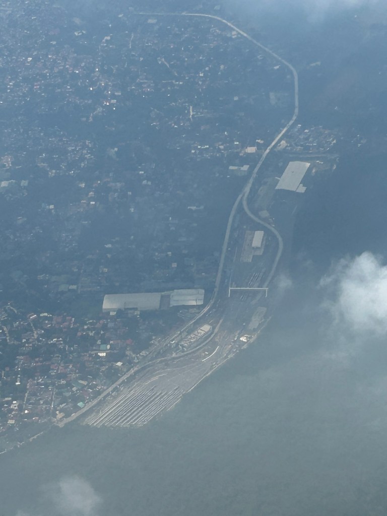
Aerial photo of the MRT7 depot?
I took this photo of what appears to be the MRT7 depot near or adjacent to the La Mesa reservoir. It was as quick a photo as our plane was banking into the clouds.
–
An aerial view of the PNR’s rail revival
I would just like to share a few photos I took while our plane was turning towards our Bicol destination upon take off from NAIA.
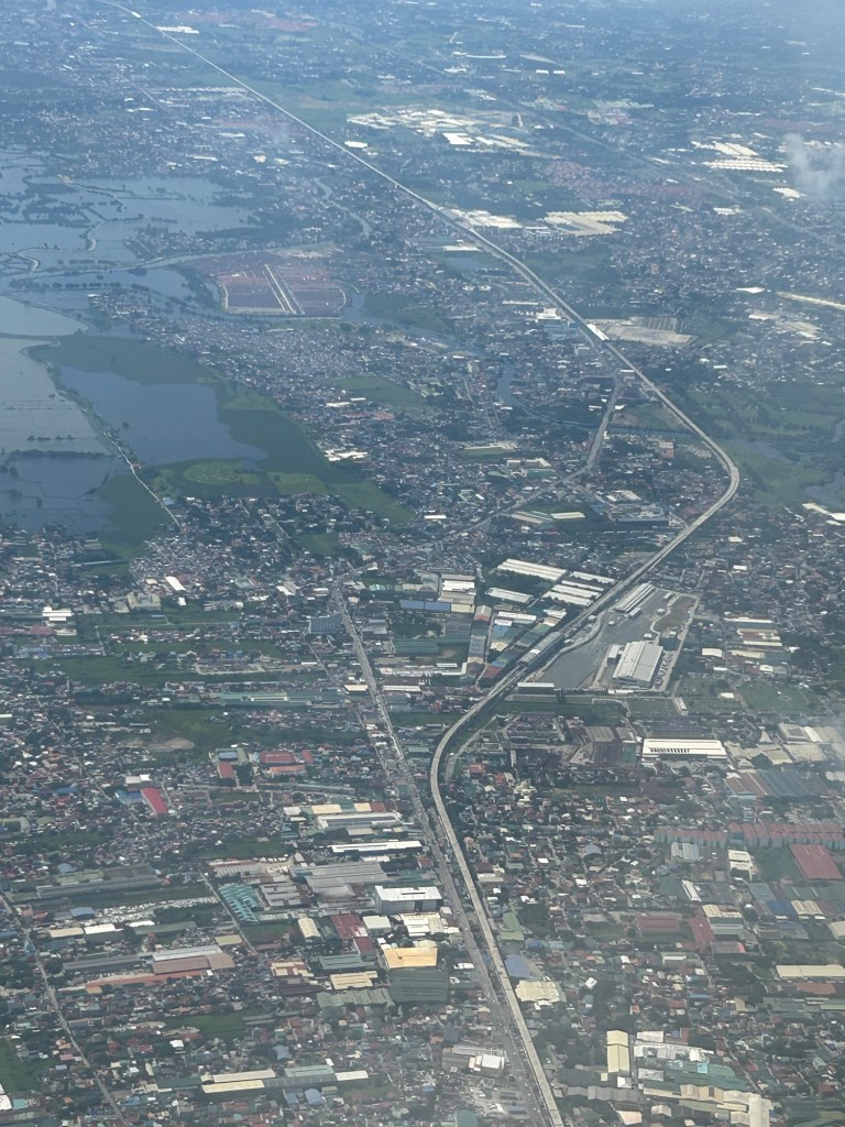
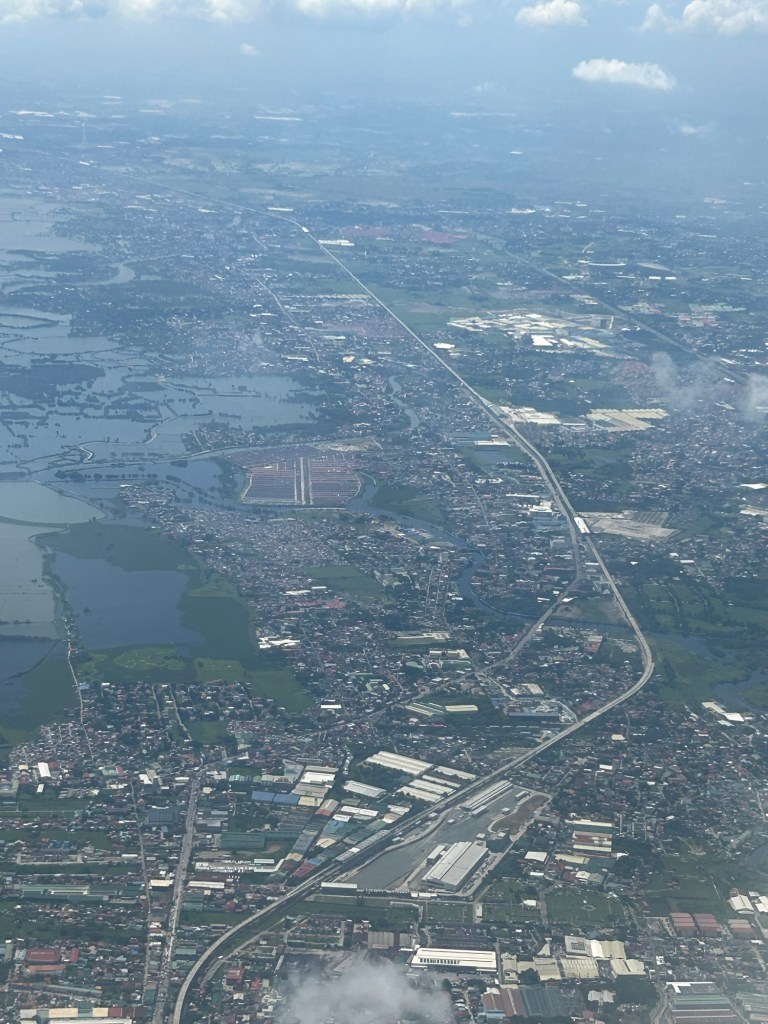
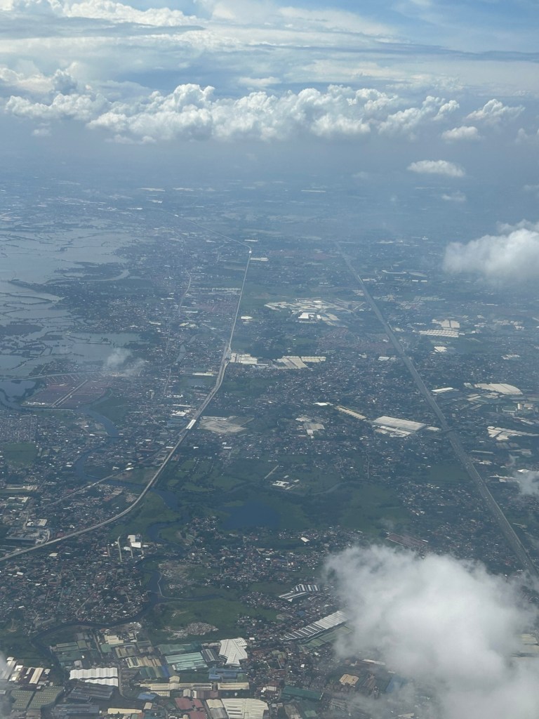
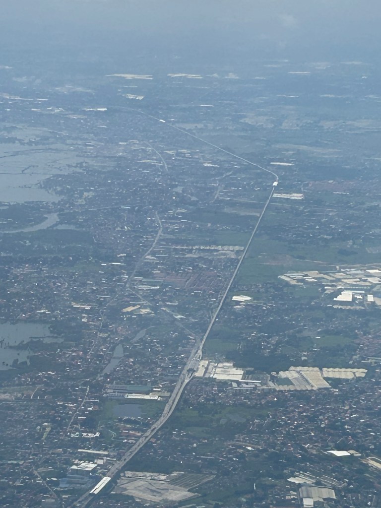
I will again pose the following questions to my readers: will the NSCR become the game changer it’s supposed to be for both long distance travel and commuting (super commuting for some cases)? Will it decongest McArthur Highway and NLEX? Will there be a significant shift from car use to rail? Or will those taking road-based public transport be the ones mainly shifting to rail?
–
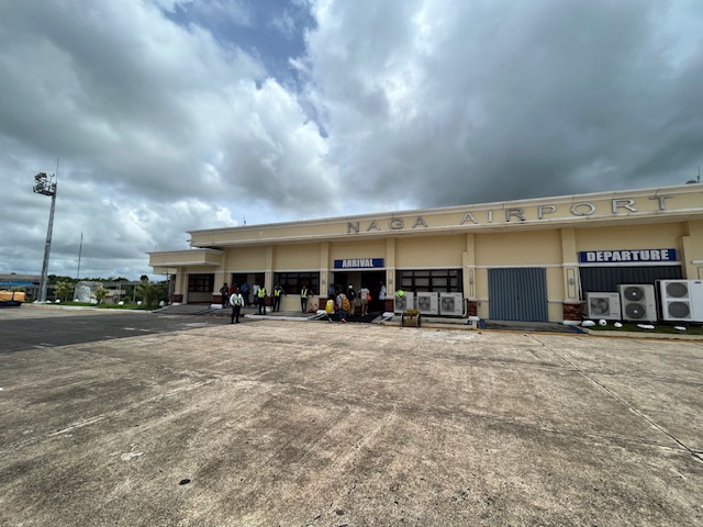
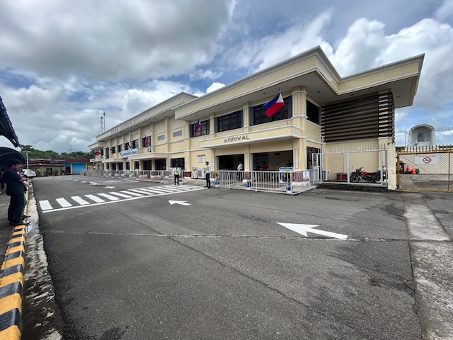
Naga Airport arrival
Since I’ve written about Naga Airport in the previous post, I might as well follow-up with a short write-up on our arrival. I’m sharing the following photos I took on our arrival at the airport, which is actually located in the town of Pili, which is to the south of Naga City.
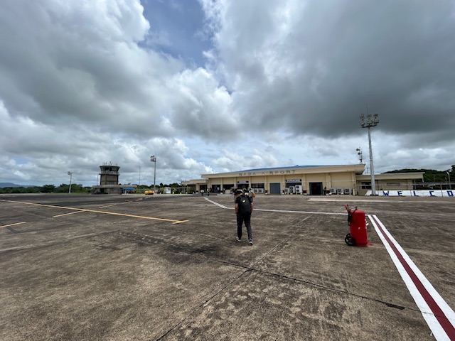 The airport terminal and control tower as viewed upon our deplaning
 Walking towards the arrival area
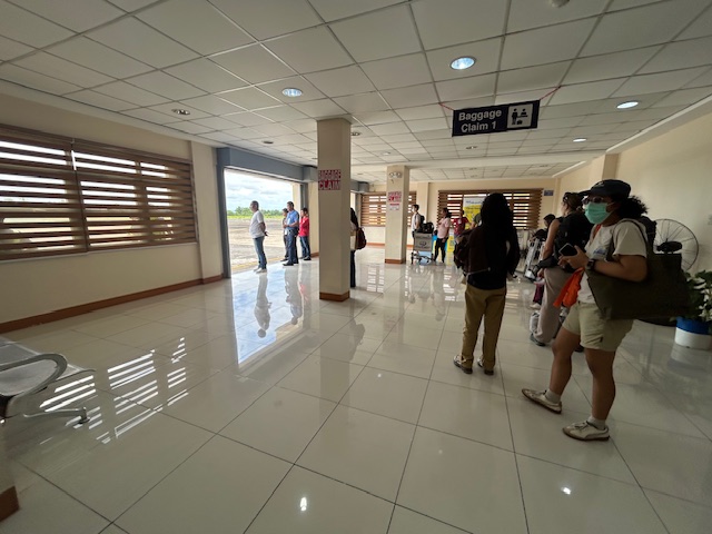 The baggage claim area was the simplest I’ve seen with no conveyor belt or carousel.
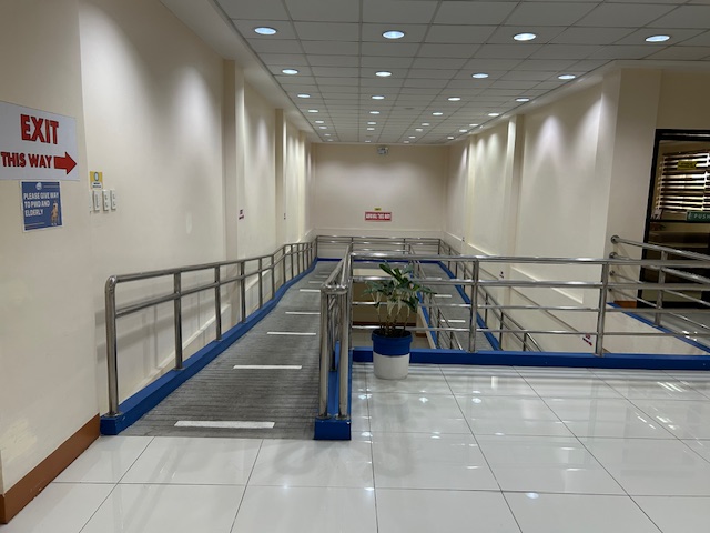 We had to travel through these ramps towards the terminal building exit.
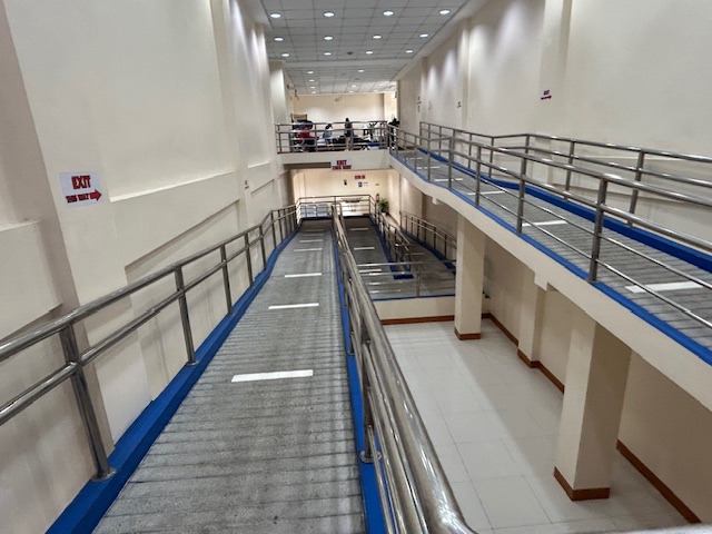 The final ramp descending towards the exit – this is another rather unusual design feature of the airport.
 Terminal building exit for arriving passengers.
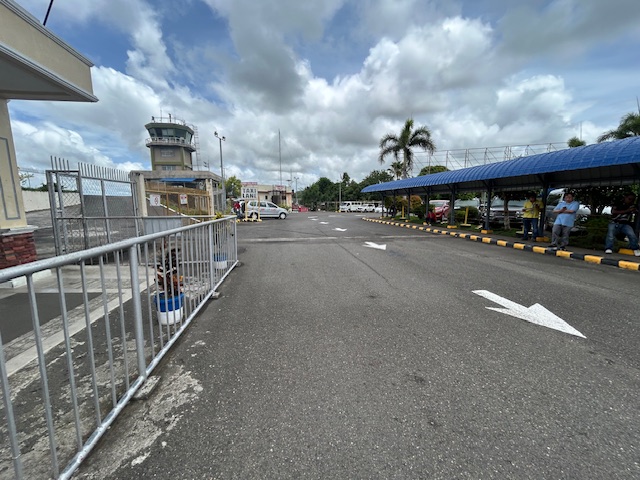 Airport terminal driveway with a view of the air traffic control tower
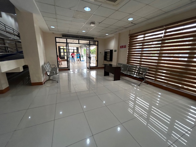
 A view of the terminal building from the waiting shed across from the terminal
–
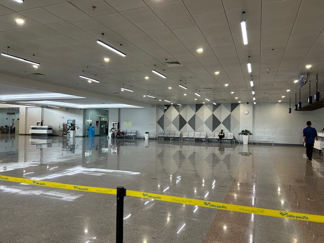
Bicol International Airport Departure
Before I go on another trip, here are photos I took of the Bicol International Airport prior to our departure from Daraga. We were just in time to check in for our flight back to Manila so I wasn’t really able to take as many photos as I usually did in other airports. I did take enough for a clear description of what to expect at this terminal.
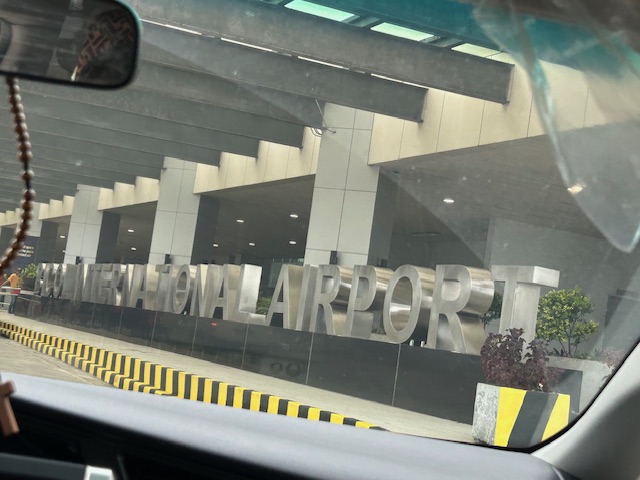 Arriving at the airport terminal’s departure area
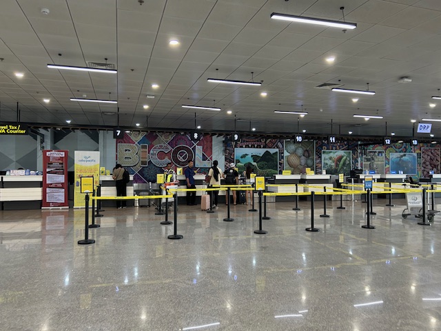 Check-in counters for Cebu Pacific
 The terminal features a spacious check-in area.
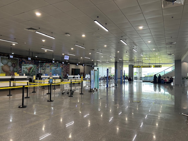
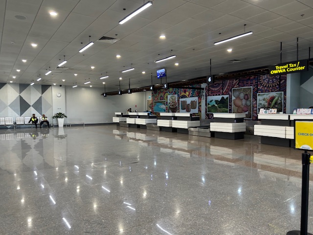 The area is more spacious than other, more busy airports like Iloilo and Bacolod
 I can imagine that even if there were more flights, queues will not result in the area being too crowded.
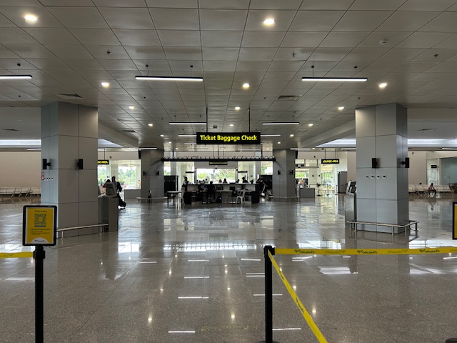 Another angle seen from the check-in area
 The corridors are also spacious.
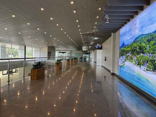 The terminal is well lit.
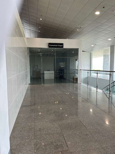
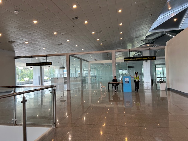 Entrance to the pre-departure lounge of the airport
I already wrote about and shared photos of the pre-departure lounge including the shops and eating options there. I look forward to visiting Legazpi City and its neighboring areas soon and perhaps get a clear photo of Mayon Volcano.
–
