
Home » Infrastructure (Page 4)
Category Archives: Infrastructure
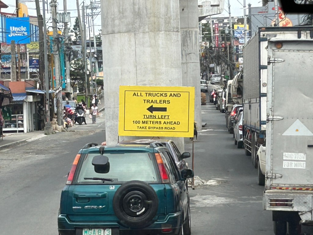
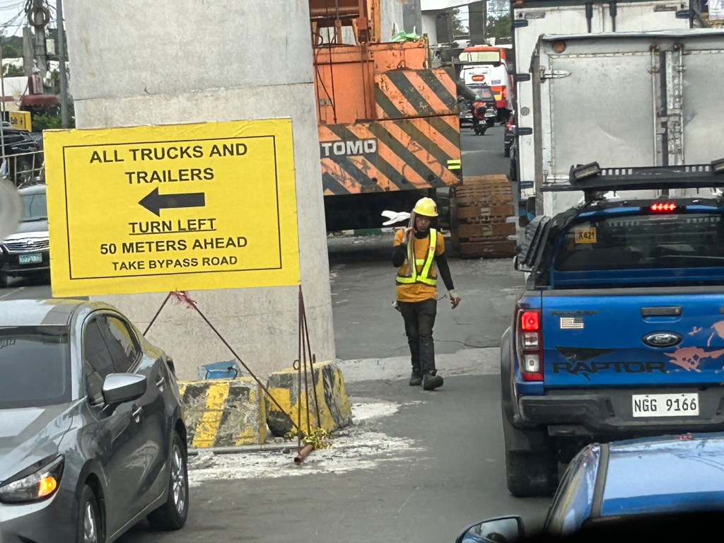
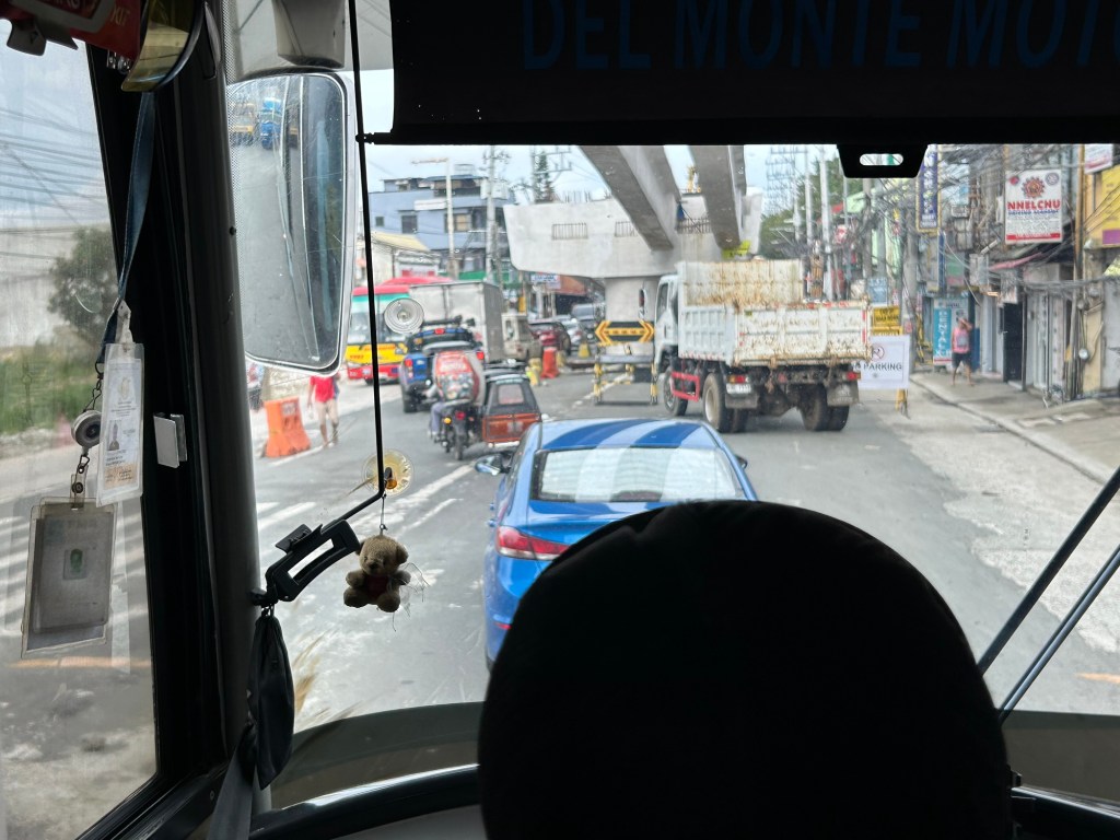
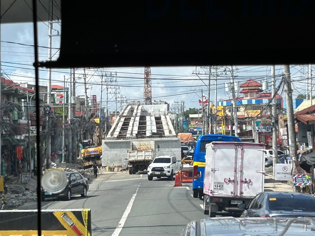
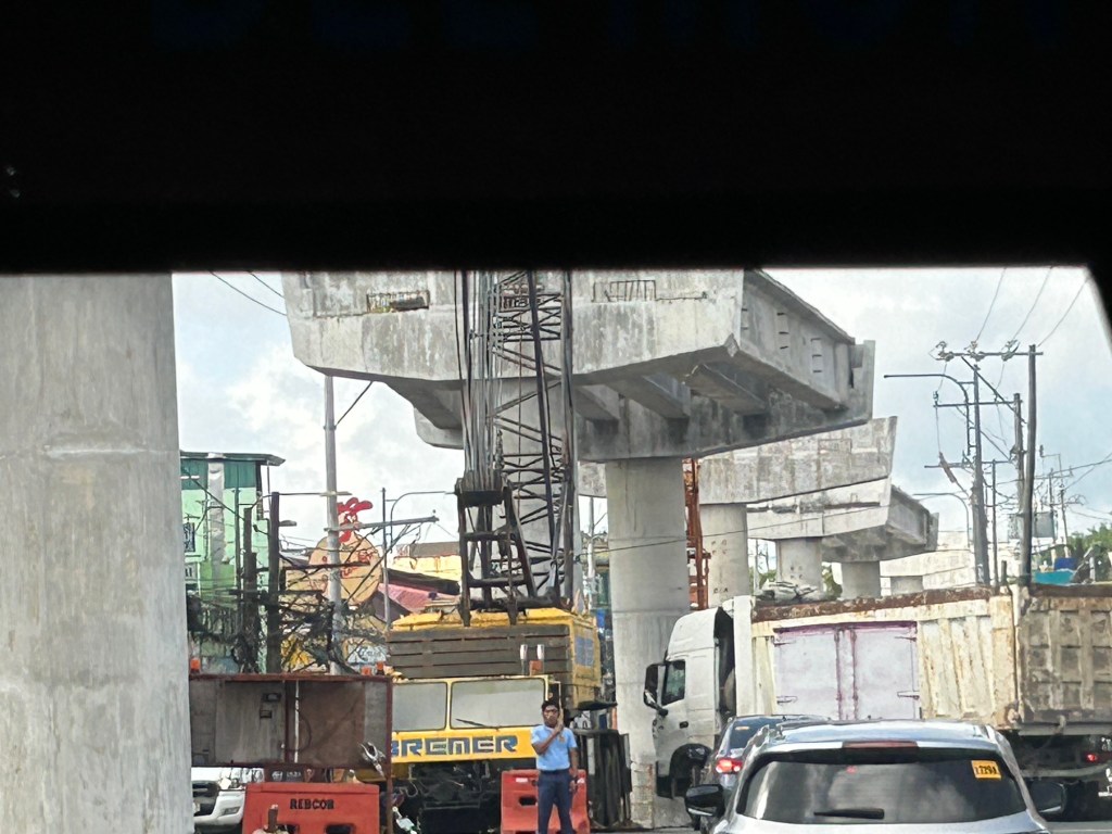
Congestion due to flyover construction: Tagaytay-Nasugbu Road – Part 2
I showed photos of the construction of an overpass along the Tagaytay-Nasugbu Highway coming from Tagaytay in the previous post. This time, here are some photos taken along the opposite direction.


–
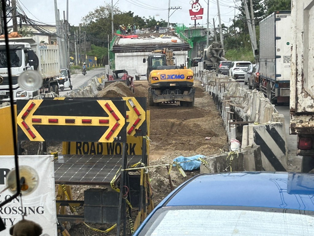
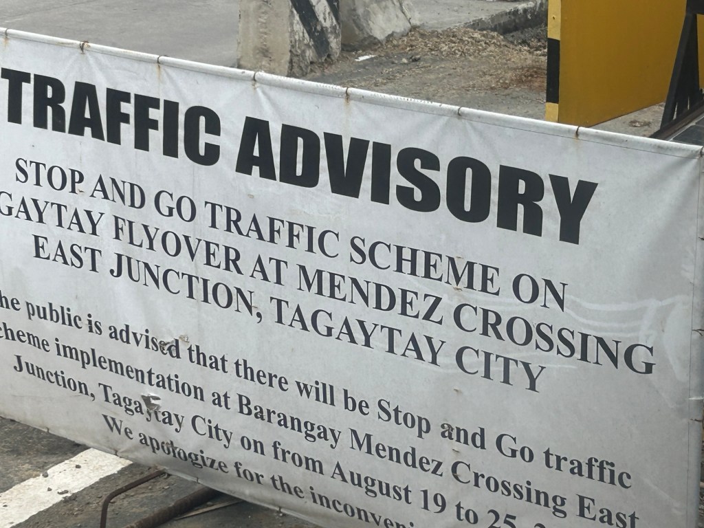
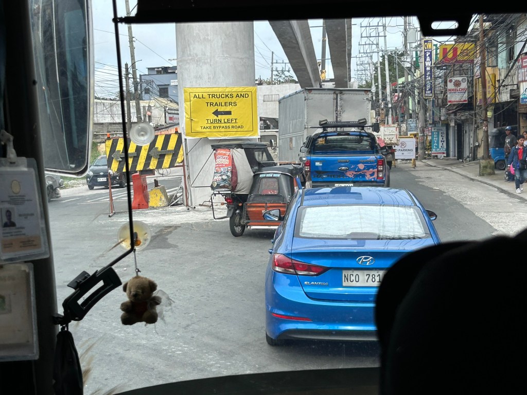
Congestion due to flyover construction: Tagaytay-Nasugbu Road – Part 1
There is significant traffic congestion along the Tagaytay – Nasugbu Highway due to the construction of an overpass along the highway at its junction with the Tagaytay – Mendez Highway.


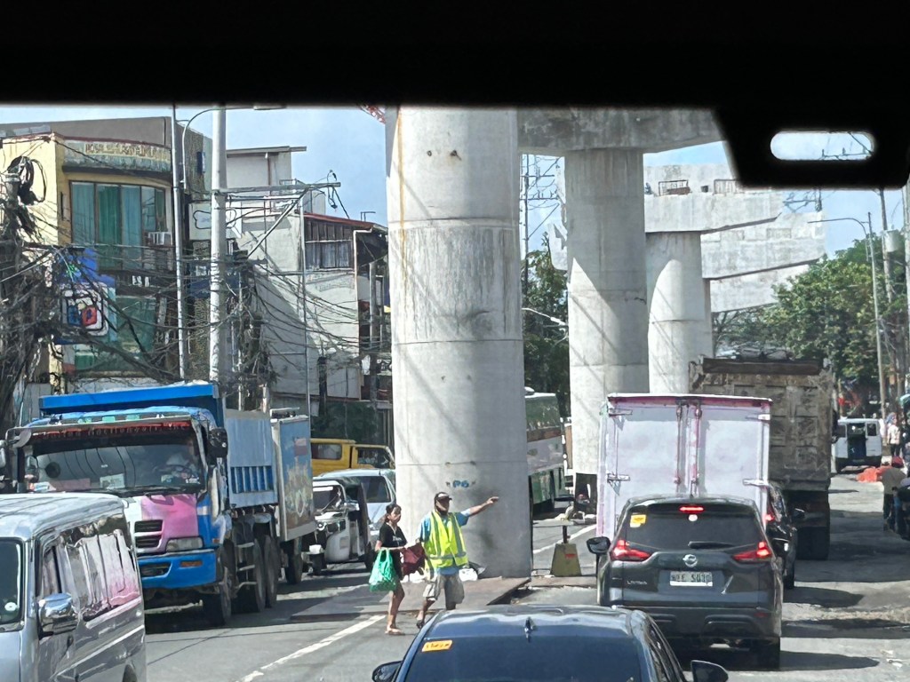
Was there a need for a flyover here? Otherwise I would suggest instead a set of good old-fashioned traffic signals and geometric improvements to the intersection.
–
Increase in parking rates at NAIA
A friend shared this notice about the increase in parking rates at NAIA.
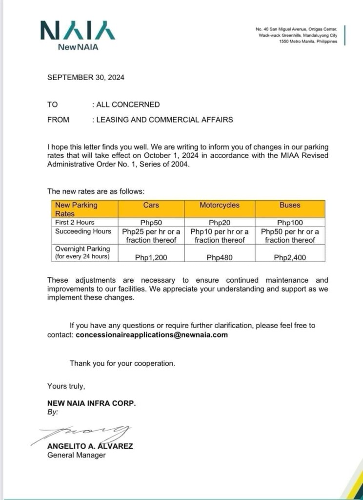
Parking at any of the terminals has been quite difficult if not horrendous. Everyone seems to be bringing their car to the airport for pick up and drop offs as well as leaving them for a night or more while traveling abroad or somewhere in the country. And then there are those who park there because the rates are supposed to be cheaper than the hotels and mall around the airport (e.g., the case of Terminal 3). Will the increase in the rates discourage unwanted or unnecessary parking? Perhaps not because people are still quite dependent on cars as their primary mode in and out of NAIA.
Access to the airport remains road-dependent. Granted there are many options like ride hailing, airport bus and taxis, these are all road based. They share the same roads that are often congested. The tollways are not enough to ease traffic in the area, which aside from airport generated trips include those from offices and industries in the area.
Too long has the need for a rail access for the terminals and government has failed to provide it. It would at least have engaged private sector for this provision but it took so long. Perhaps the Metro Manila subway will change that but we have to wait a long while to find out.
–
Initial thoughts on driverless cars
The wife is currently in San Francisco in the US. She sent me some photos and videos of the driverless car ahead of booked to get to their office there.
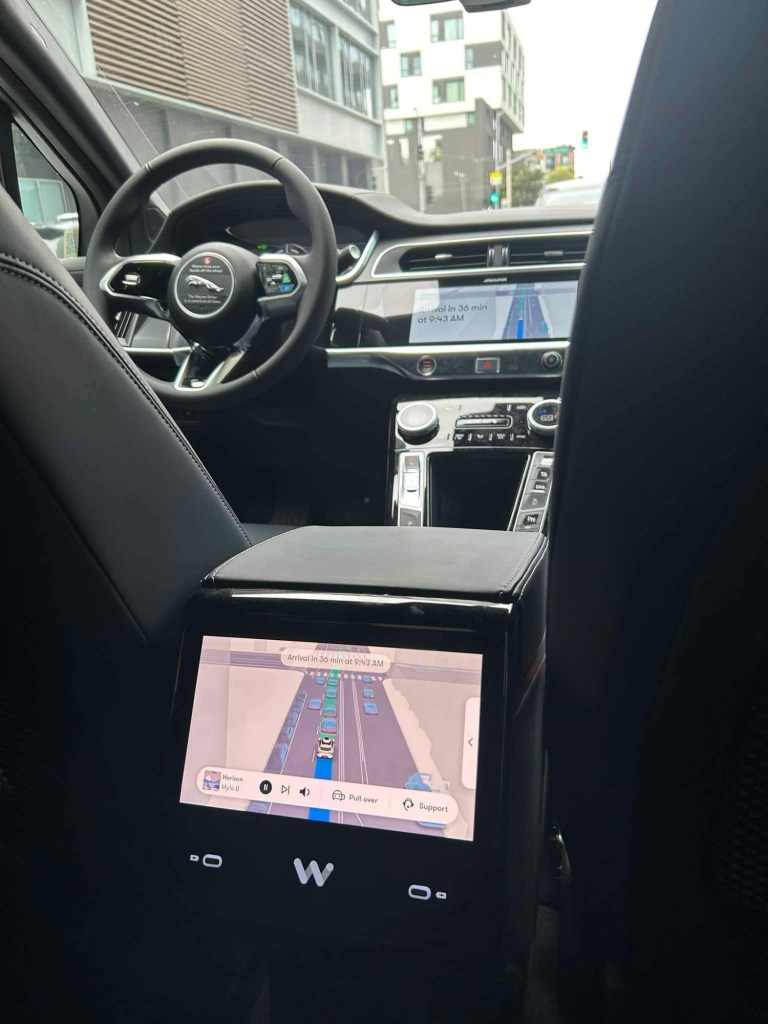
The first thing that came to mind seeing the photos and videos is “It’s cool!” Their creation and operation are indeed wonders from an engineering and technology standpoint. Unfortunately, these are not the solution to our transport problems. These will just replace the cars we already have and causing congestion and other concerns.
–
Pedestrian-Friendly Cities: The Impact of Walkability Grants
Here is a quick share of an article on how to encourage cities to be more pedestrian-friendly:
Source: Pedestrian-Friendly Cities: The Impact of Walkability Grants
Many of our cities, particularly the highly urbanized ones, are not as walkable as we want them to be. Lacking are the most basic facilities such as sidewalks and safe crossings. Walkability Grants such as those in the US can encourage cities to build and/or enhance pedestrian infrastructure. Many designs such as those footbridges along EDSA and Commonwealth Avenue, for example, are anti-walking. Grants may be used to come up with better designs for walkways and footbridges.
To quote from the article:
“Walkability grants are awards for programs and projects creating innovative pedestrian infrastructure, such as new sidewalks, crosswalks, plazas, street lights and green spaces. For example, in February 2023, the Biden-Harris Administration announced the Safe Streets and Roads for All Grant Program, delivering $800 million in monetary awards for 511 projects addressing public safety and road improvements…
Reshaping the built environment into a walkable haven helps boost the local economy and sustainability. By changing the urban landscape, citizens are more inclined to walk instead of drive, allowing cities to reduce emissions, improve air quality and create healthier neighborhoods. This is critical, considering air pollution is responsible for 7 million early deaths yearly.”
Perhaps we can have similar grants coming from national government via the Department of Interior and Local Government (DILG) in cooperation with the Department of Transportation (DOTr) and the Department of Public Works and Highways (DPWH)? There was some funding for bikeways during the pandemic but this new one should put more emphasis on walkability.
–
Skyway to the south
Instead of going via C5 and then SLEX en route to Tagaytay last week, we opted to take the Skyway via Quezon Avenue. The travel was smooth between 6:30 AM and 7:30 AM maybe because it was a Thursday and regular classes have not yet resumed (i.e., less trips). Note the counter flow lane adjacent to the median? This is implemented likely due to the experience of heavier traffic along the northbound (Metro Manila-bound) direction during the mornings. I wonder if the reverse is implemented in the afternoons/evenings.

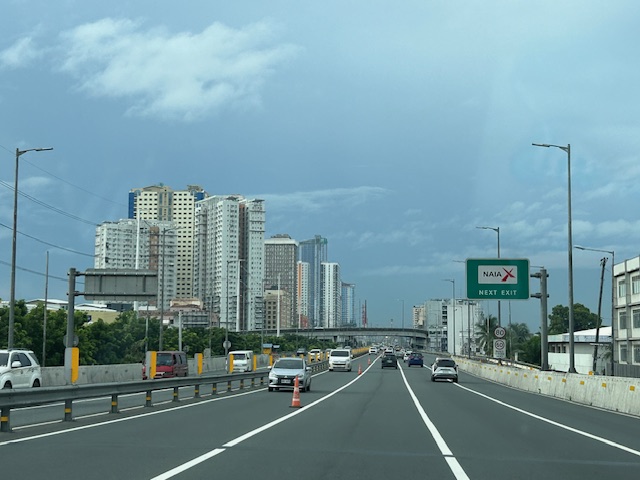
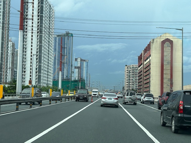
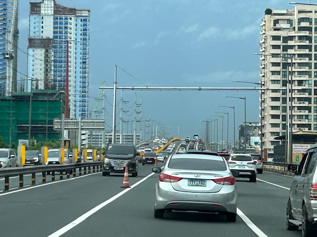
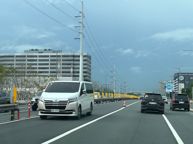
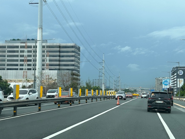


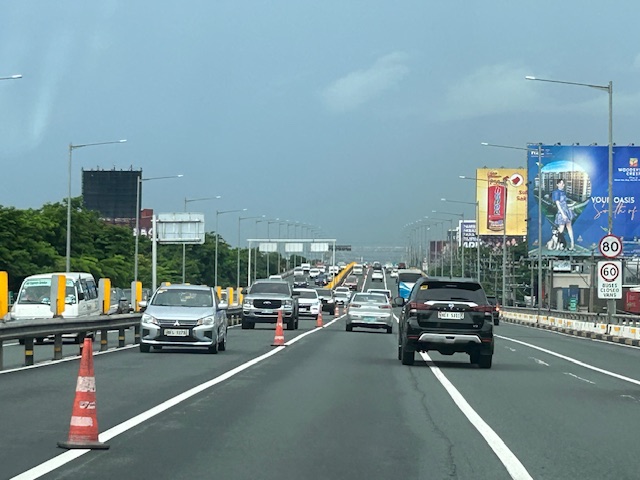
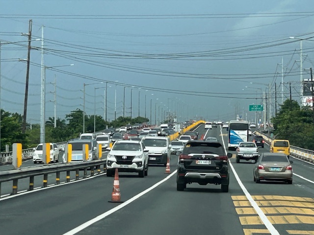
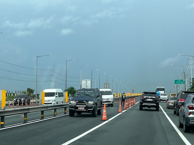
Note that there was more traffic as we traveled between Makati and Muntinlupa. The traffic represented commuters residing in the south and traveling to Metro Manila for work purposes.
SPRINT principles for bicycles
Here is the link to how to improve your city’s or municipality’s bicycle facilities based on scores guided by the SPRINT principles: https://cityratings.peopleforbikes.org/create-great-places
SPRINT stands for:
S -Safe Speeds
P-Protected Bike Lanes
R-Reallocated Space
I-Intersection Treatments
N-Network Connections
T-Trusted Data
The site provides links and examples of good practices of actual bike projects in the US. Many of these can be replicated or adapted to Philippine conditions. These are something that the active transport section of the Department of Transportation (DOTr) should look into and perhaps provide a reference for developing and improving bicycle facilities in the country.
–
Another misplaced pedestrian footbridge?
There are soil tests currently being performed along L. Sumulong Memorial Circle across from Dela Paz National High School. This would probably be for the foundations of a pedestrian footbridge in the area that will, in theory, reduce if not eliminate pedestrian crossings in the area. On most days when there’s school, there are a lot of people, mostly students, crossing here. The result is traffic slowing down along both sides of the road that happens to be near the junction with Pinagmisahan Road. Is this enough reason to build a footbridge here? Probably and tempting enough for those who look for ‘easy’ solutions rather than come up with something that is less car-centric than a footbridge where the crossing is short and quick if done on the ground rather than via an overpass.
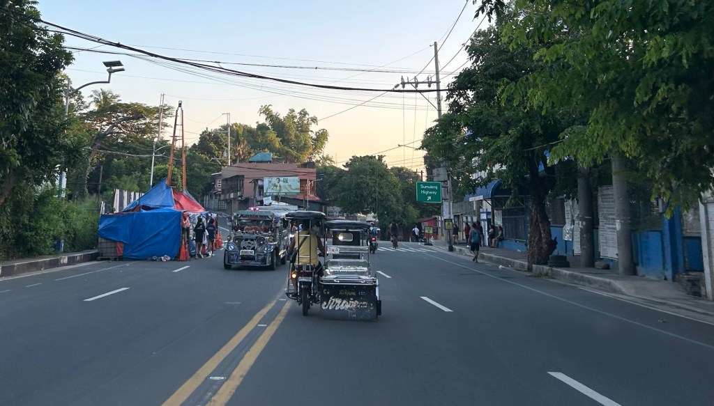 Soil tests across from Dela Paz National High School.
There should be a solution here along the lines of complete streets rather than the usual pedestrian footbridge that’s a favorite of local and national government officials, planners and engineers who appear to be too lazy to come up with a more suitable treatment to improve safety in a high pedestrian and vehicle traffic area.
–
Bridges between Cebu and Mactan
Our route to the airport was via the Marcelo Fernan Bridge (the second bridge connecting Cebu and Mactan Islands). While on the bridge, I saw this opportunity to take a photo. That photo shows all three bridges currently connecting the two largest islands of Cebu Province.
 In the distance is the CCLEX Bridge (Cebu – Cordova Bridge) that connects Cebu City’s South Reclamation Project (SRP) and the town of Cordova in Mactan Island. CCLEX is a cable stayed bridge and the third to connect Cebu and Mactan. Closer is the first Mactan-Mandaue Bridge or simply First Bridge is a steel truss bridge. The bridge we were on, the Marcelo Fernan Bridge, is also a cable stayed bridge.
A fourth bridge is planned and should soon be constructed to the north of the second bridge.
–
Article share: on making more affordable neighborhoods
I’ve been commenting about how transportation cannot be isolated and the need to relate it to other factors such as housing or home location choice. The latter though is also affected by other factors as well that affect the affordability of homes near the city centers or CBDs where workplaces and schools are located. The result of course is sprawl or the encouragement of sprawl. Private companies take advantage of this or contribute to this ‘encouragement’ by developing land farther away from the center. Thus, for Metro Manila’s case, many people reside in the peripheral provinces of Bulacan, Rizal, Laguna and Cavite. There are even those who choose to reside in Pampanga, Bataan and Batangas.
Kayatekin, C.S. and Sanmiguel, L.U. (April 16, 2024) ” ‘Urban form’ and the housing crisis: can streets and buildings make a neighborhood more affordable?” The Conversation, https://theconversation.com/urban-form-and-the-housing-crisis-can-streets-and-buildings-make-a-neighbourhood-more-affordable-224108 [Last accessed: 4/23/2024]
Quoting from the article:
“Our main finding was that the bottom-up districts we looked at had, overall, more small-scale apartments. The reason is simple: they had more small-scale buildings, built on small-scale plots. Once divided into apartments, this produces small apartments – homes in the bottom-up areas were 10% to 23.1% smaller than their top-down counterparts. This also made their real estate markets for small homes more competitive, and therefore more affordable.
However, our study showed there is nothing inherently magical about bottom-up areas. Their more intricate housing stock has little to do with the layout of streets and blocks, and a lot to do with how that land is built upon.
Plot size appears to be the deciding factor: the districts with greater numbers of small buildings built on small plots supported a denser and more affordable housing stock, regardless of whether they were top-down or bottom-up.
Older bottom-up areas seem to naturally lend themselves to having more small-scale plots. This is likely due to the incremental development of these areas, and the complex land ownership patterns that developed as a result. However, there is no reason why a top-down area cannot be designed to replicate these characteristics.”
–
