
Home » Infrastructure (Page 3)
Category Archives: Infrastructure
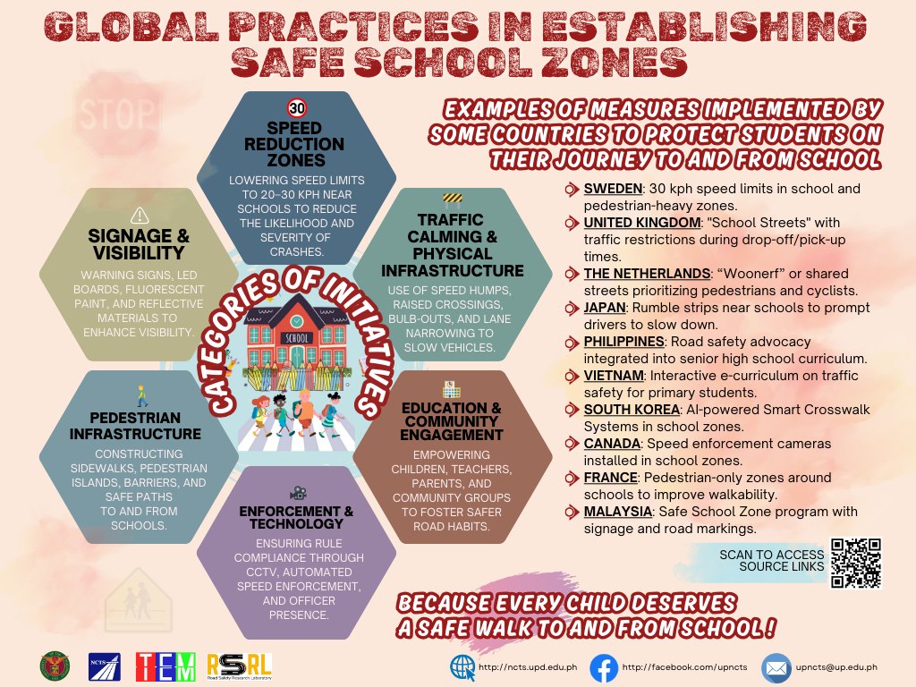
On safe school zones
We’ve been working for safer roads since I started practicing as a transportation engineer/planner. Most recently, we were working on a program supported by UNICEF on Child Road Traffic Injury Prevention (CRTIP). The work towards safer roads especially for those who are most vulnerable is always challenging but it is something that is definitely worthwhile. As we approach May, which is Road Safety Month in the Philippines, I will try to write more about road safety.
Here is an infographic shared by the Road Safety Research Laboratory of the National Center for Transportation Studies of the University of the Philippines:
–
On the collapse of a bridge in Isabela
A hot topic these days is the collapse of a span of a newly built bridge in Isabela. The alleged causes of the collapse included truck overloading, design flaws and inferior construction. Initial news reports and statements put the blame on the trucker and the designer with only a few suspicions thrown at the contractor. And then the current President of the country together with his DPWH Secretary inspected the site together. BBM was later quoted as saying the cause was a design flaw.
The bridge’s designer came out to state that it is not his fault. That could have been perceived as a self-serving statement until you delve into his explanation and check his credentials. The designer happens to be one if not the most experienced bridge engineer in the country. He obtained his Bachelor’s and Master’s degrees in reputable institutions (UP and Virginia Tech in the US, respectively). He taught bridge engineering in universities and is perhaps instrumental in civil engineers choosing to specialize in bridges. And he was a past president of the Association of Structural Engineers in the Philippines (ASEP). He knew what he was doing and the process requires for his design to be reviewed and approved by the DPWH prior to having the bridge constructed. If it passed the DPWH review and approval process, then it should be determined if the contractor was faithful to the execution of the design. Photos spreading over social media shows problems where the structure failed. And the quick assessment of many who are knowledgeable about structural engineering and construction is that apparently, the failure is due to the construction.
What happened? Wasn’t construction progress monitored? Were there inspections to determined whether the design was followed? One result of the suspicions being thrown at the people responsible for the bridge is the proliferation of ‘corruption’ as the root cause of the collapse. There are already clever memes of the bridge employing ‘steal design’ and ‘steal reinforcement’ obviously replacing ‘steel’ in the terms. While we inject humor into the situation, we cannot deny how serious the matter is and the implications of design specifications as well as the emergence of new truck types with higher payloads is to pavement engineering in general and bridge engineering in particular.
–
On the pushback vs. bike lanes
I saw this short article at Planetizen that linked to another article that was the original one about cities dismantling or removing bike lanes. This is a very concerning trend in the US but something that’s also happening here. The Department of Public Works and Highways (DPWH) has always been lukewarm to bike lanes (parang napipilitan lang), the Metro Manila Development Authority (MMDA) seemed never to understand it (even during BF’s time as Chair), and many local government units that jumped on the bike lane bandwagon during the COVID-19 pandemic have reneged on their declared commitments. Currently, it seems that only cities like Quezon City and Iloilo City have sustained bike lanes development. Others have removed protected bike lanes or have not enforced vs. motor vehicles encroaching on the bike lanes.
Johnson, R. (February 18, 2025) “Cities Start to Backpedal on Bike Lanes: A Growing Crisis for Cyclists,” Momentum Mag, https://momentummag.com/cities-start-to-backpedal-on-bike-lanes-a-growing-crisis-for-cyclists/ [Last accessed: 3/2/2025]
To quote from the article:
“Bike lanes have become a culture war where those in favor are seen as “woke” or some other terrible conservative slur. But, most who use bike lanes are just regular people who want to save some money, and get the mental and health benefits to cycling to work.
Urban cyclists, bike commuters, and advocates for safer streets, have all noticed a troubling trend. What was once a symbol of progress toward sustainable transportation and safer roads for all is being reversed in multiple cities across North America.”
Will bike lanes and cyclists suffer similar setbacks here? Will the Department of Transportation (DOTr) continue to champion bike lanes? Will the agency be more aggressive and assertive of bike lanes development? Your guess is as good as mine!
–
The old Legazpi City airport
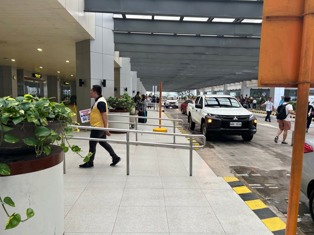
En route to Camalig after checking out from our hotel, we passed by the old airport in Legazpi City. This was closed after the new airport in nearby Daraga became operational.
Legazpi and the Bicol region needed a new gateway after the old one could not be expanded. Add to that the fact that the runway configuration and location was compromised by nearby Mayon Volcano. The Bicol International Airport in Daraga is a modern gateway for a region deserving such infrastructure.
–
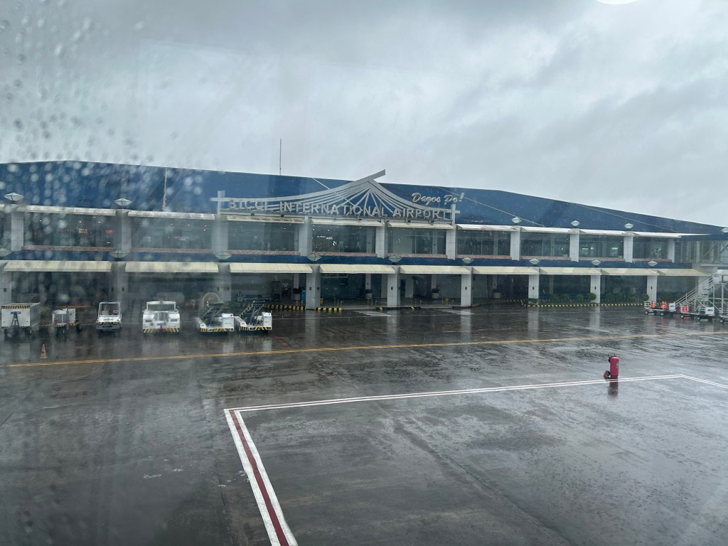
Bicol International Airport – first impressions
The Bicol International AirPort project started during the time of then Pres. Gloria Macapagal-Arroyo. The old airport could no longer be expanded or upgraded and was too close and oriented to Mayon Volcano, causing frequent disruptions to flights. The development was similar to Iloilo’s, Bacolod’s and Tagbilaran’s airports that had to be relocated to accommodate airport expansion including future phases of development. The airport was started construction during the time of Pres. PNoy and was completed in the term of Pres. Duterte.

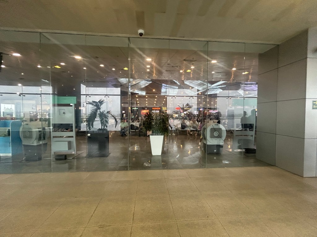
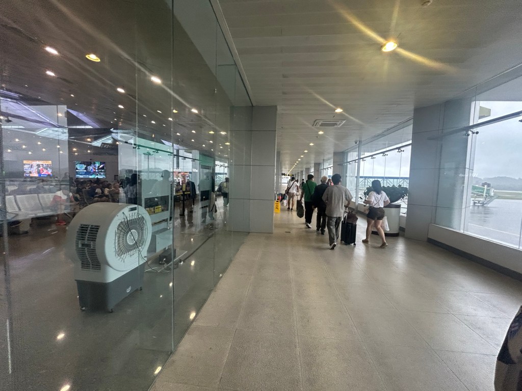
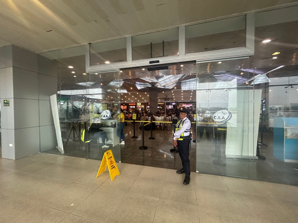
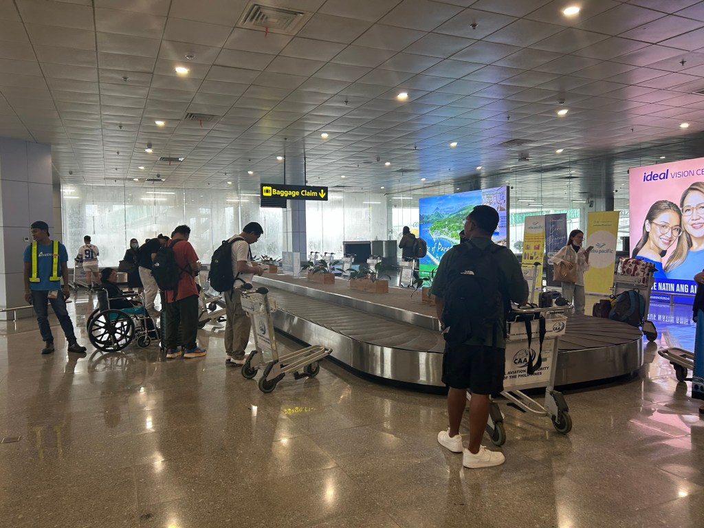
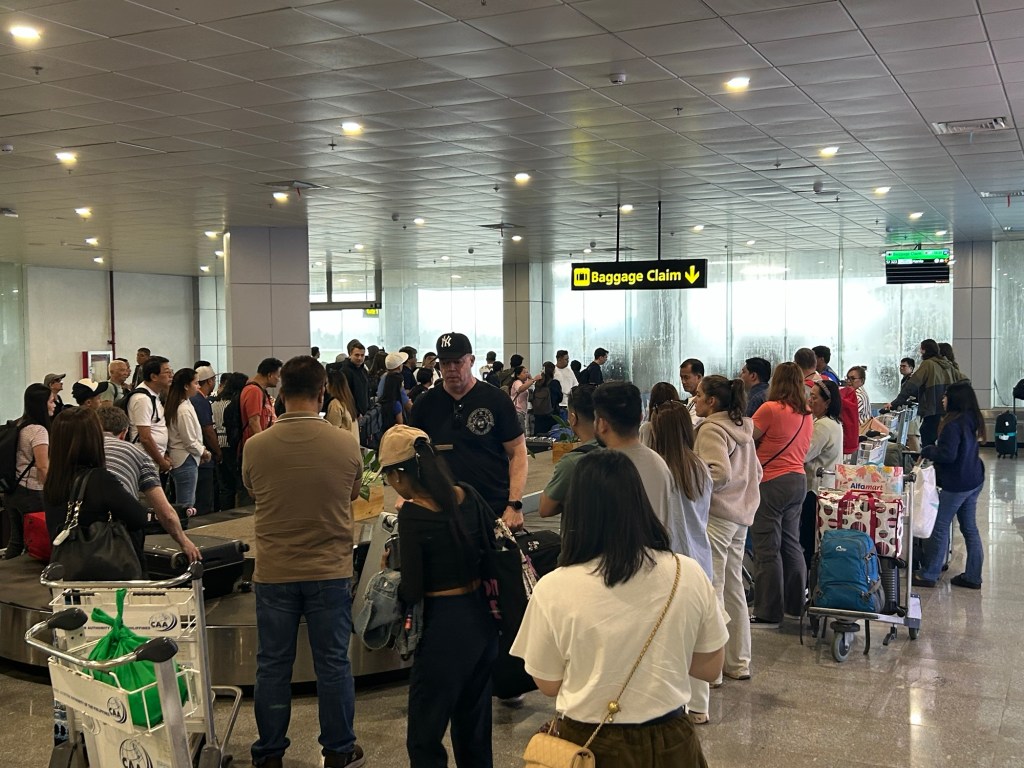
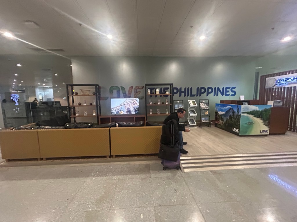
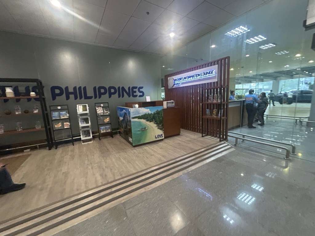
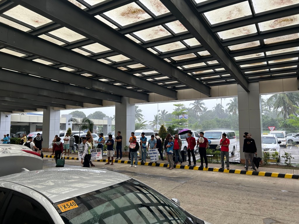
The airport is spacious and orderly. I’m not sure how the situation is when flights are more frequent and when there are international flights but perhaps the terminal can handle these at least over the foreseeable future.
More on the airport soon!
–
On C-6 and the proposal for another expressway, Part 2
The recent announcement and launch of the Southeast Metro Manila Expressway (SEMME) included this map showing the (very) rough alignment for the proposed tollway. The map also shows the proposed locations of interchanges including one in Tikling and another in Masinag. There is also another in Tumana. From the looks of this, the SEMME will be a skyway or elevated expressway/tollway.
My first impression is that this elevated tollway will pass through predominantly residential areas with columns rising from private subdivisions. It doesn’t help that the topography also means the columns will be built along hilly or mountainous terrain, thereby making construction more challenging than the elevated tollways in Metro Manila.
Do we really need another circumferential road and particularly another tollway? I think that is a very important question that not only needs to be asked but also answered the right way. I, for my part, don’t believe we need another tollway, elevated or not, as this will not solve the so-called traffic problem. In fact, it creates more problems than what is supposed to be solved with the induced traffic this will generate and its promotion of car-centricity. For the price and effort of such an infrastructure, you will get more bang for your buck with a mass transit line or lines. Road congestion can only be solved by constructing the public transport system we needed decades ago.
–
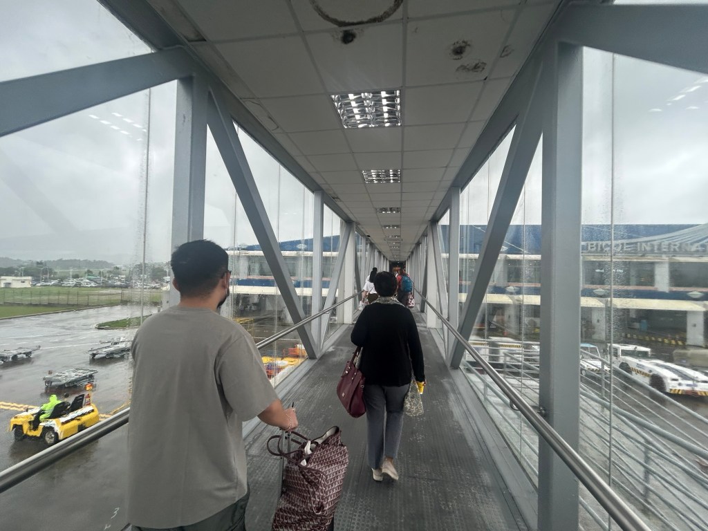
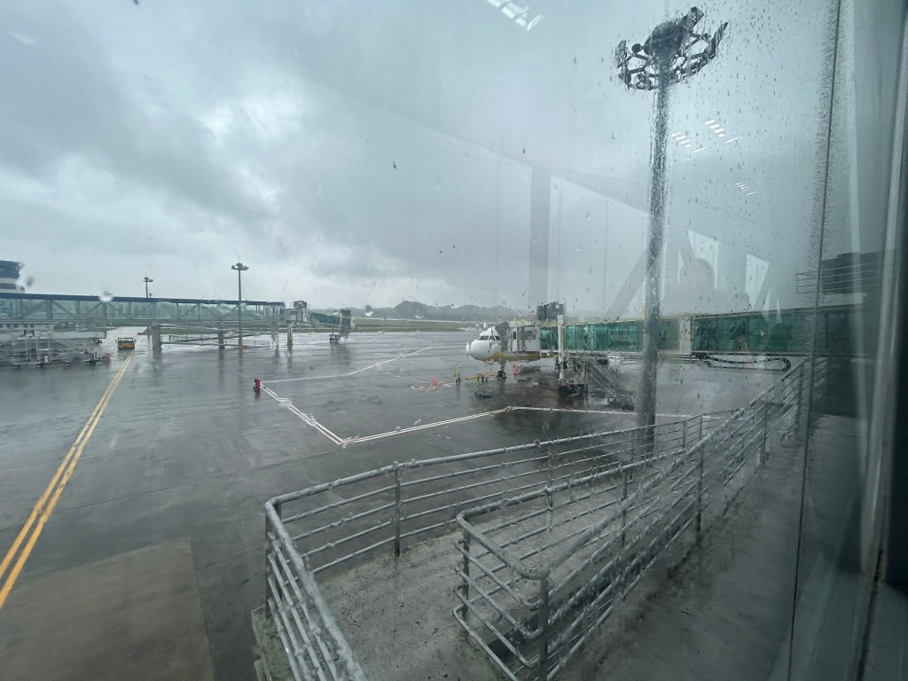
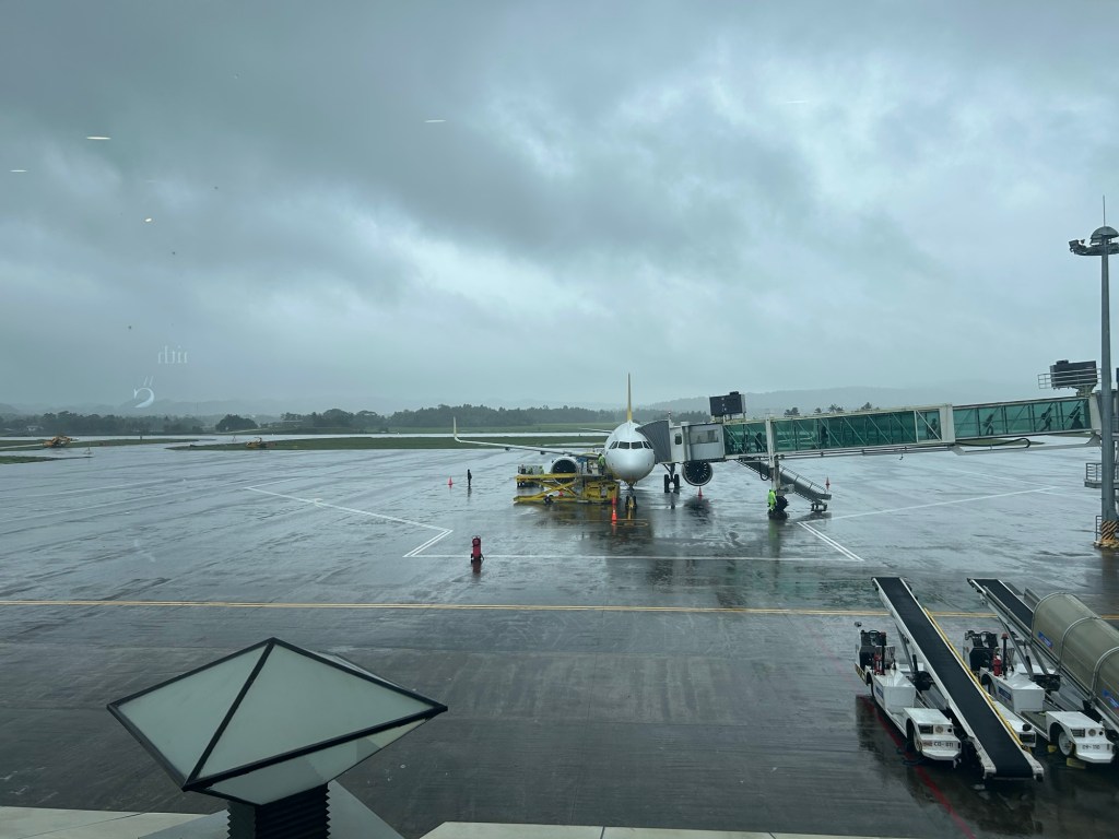
Back in Bicol
I have not been to Bicol since before the pandemic in 2020. But that was in Naga City in Camarines Sur to which I have been a few times. I have not been beyond Naga City since my early high school days. That was my last travel to my mother’s hometown in Gubat, Sorsogon. I think that was when we traveled on the occasion of my maternal grandfather’s passing.
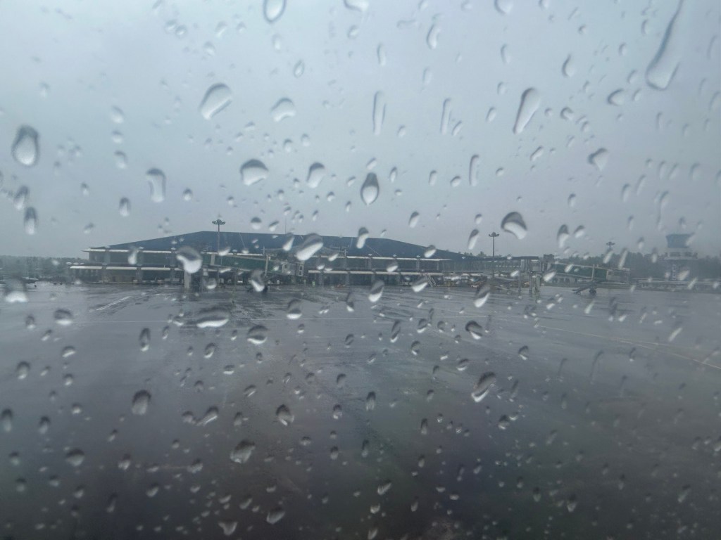
We arrived at Legazpi City yesterday via the Bicol International Airport in nearby Daraga. I was looking forward to this trip as I also wanted to see the new airport and, of course, Mayon Volcano. Unfortunately, the weather is bad and so I currently have not seen the volcano even during the plane’s approach to the airport.
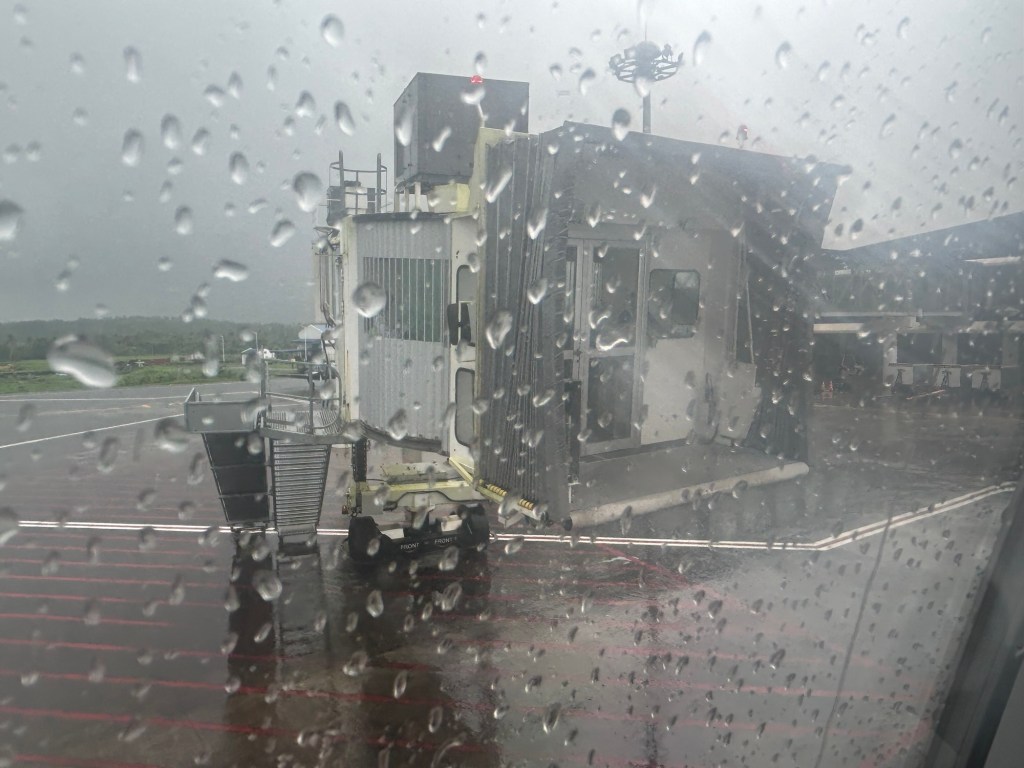
More on Bicol and Legazpi in future posts.
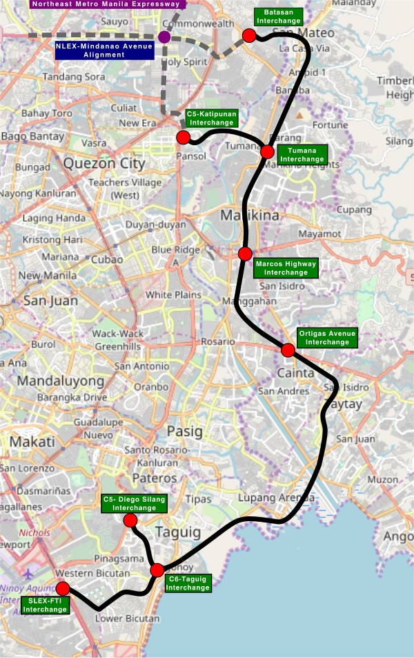
On C-6 and the proposal for another expressway, Part 1
I’ve written about Circumferential Road 6 many times in the blog. Mostly, these were about the existing sections along the Laguna de Bai in Taguig and Pasig cities of Metro Manila and Taytay in Rizal Province. I share below two maps showing different alignments of C-6. The first one is a rather old one from the 1990s that I recall was from a presentation of a friend at DPWH.
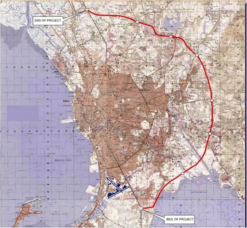 An old map I got from the DPWH a long time ago that I have used in my lectures.
The second map is supposed to be more recent, perhaps in the last 5 to 10 years if not more recent. This shows a more realistic alignment composed of what looks like existing road sections that were connected to form a semblance of a circumferential alignment.
 Here is a more recent map that’s also attributed to the DPWH.
In the first map, you will notice that the proposed alignment is more circular and smoother. This means that the road would have had a mostly new alignment instead of utilizing existing roads like Circumferential Road 5 before it. The newer sections for the latter were the ones connecting the existing roads. For the second map, noticeable is the somewhat forced connections of what looks like existing roads on the map. And while for Map 1 the alignment will be passing under the La Mesa reservoir, the alignment for Map 2 will circle the watershed like a coastal road. The alternative alignments presented an interesting exercise for students of highway engineering particularly for the topic of alignment design. Do you pick an entirely new alignment, sketch it out and determine the crossings and other constraints or do you try to make do of what roads are existing and perhaps improve (i.e., widen) these to produce an arterial?
The proposed alignment for what is now called the Southeast Metro Manila Expressway (SEMME) seems closer to the alignment in Map 1 than the one in Map 2. I will write about the proposed expressway that was recently launched in the next post.
–
On civil works for transferring cables and wires underground
I got messages this week about the civil works to be implemented in relation to transferring overhead cables and wires underground at the Ortigas Center in Pasig City. This is a screenshot of what’s been circulating the past days:
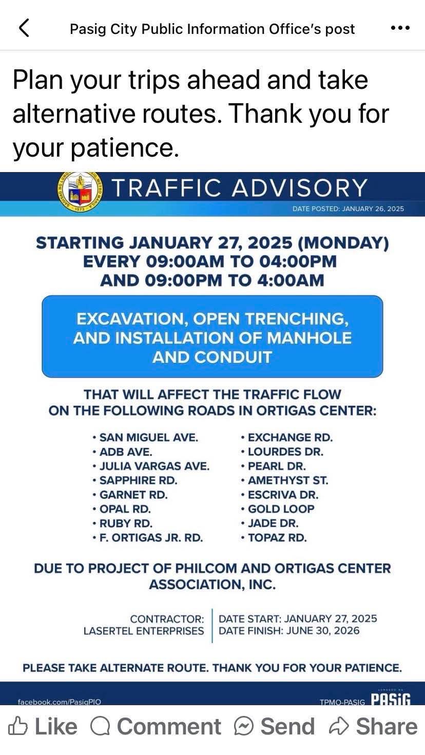
I think this follows the examples of cities like Iloilo and Davao already transferring or placing power and communications cables and wires underground. Prior to these, Bonifacio Global City (BGC) in Taguig City already did so but that was from the start considering BGC is a masterplanned development. Other masterplanned developments are already consciously doing this so there will be no overhead cables and wires that are often criticized as unsightly or ugly. Such works will require traffic management as excavations will surely reduce road capacities and lead to more congestion. The timeline or schedule can also be affected once they do the excavations as conflicts among utilities are expected. Note that water lines and drainage are already underground and there will be the need to resolve the intersections of these with the power and communications lines to be transferred.
Perhaps we can learn from this experience that Ortigas Center will undergo until 2026 as other Metro Manila LGUs also consider transferring their overhead cables and wires underground. Quezon City, for one, is already at the early stage of identifying an area or corridor to serve as a pilot for the city. That can be a road like Commonwealth Avenue or Visayas Avenue or perhaps the Araneta Center in Cubao.
–
Roads, railways support needed for airport upgrades — analysts
Here’s a quick share on an article on the infrastructure needed to support airport development:
Source: Roads, railways support needed for airport upgrades — analysts
Unlike many capital airports including Malaysia’s Kuala Lumpur International Airport and Bangkok’s Suvarnabhumi International Airport, Ninoy Aquino International Airport does not have rail or mass transit access. It will eventually have rail access via the currently under construction Metro Manila Subway. The airport construction in Bulacan should also have transit access in order to make it more accessible to passengers and other airport users. Railways will provide an alternative to road-based transport that would probably require much road space and likely lead to congestion just like what we experience around NAIA at present.
–
