Home » Land use (Page 14)
Category Archives: Land use
Road right-of-way encroachments: Palawan
Encroachments to the road right of way (RROW) is quite common along many roads in the Philippines including national roads. While the DPWH has jurisdiction over the latter roads in as far as construction and maintenance is concerned, the agency does not have the resources to secure these roads. Such responsibility lies in the hands of local government units (LGUs), which are tasked to regulate land use at the local level ahead of the Housing and Land Use Regulatory Board (HLURB). Following are a few photos I took in one trip to Palawan where we did a few road safety audits of a national highway.
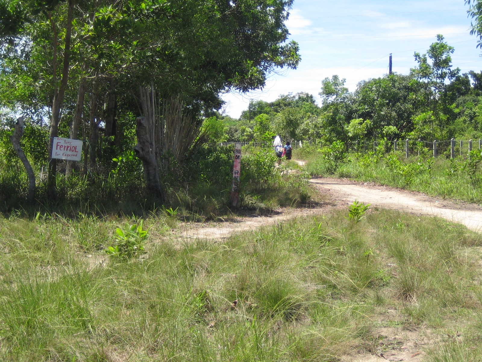 This RROW marker that doubles as a kilometer post along a highway in Palawan is located a few meters from the carriageway. While there are no developments or encroachments along this section, such markers could easily get lost.
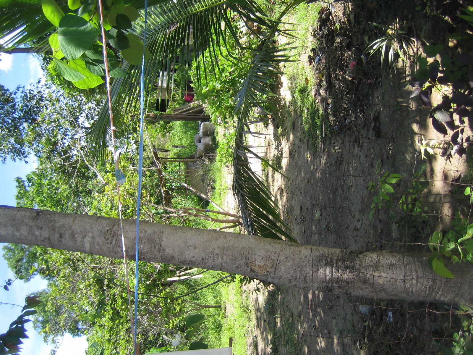 This one’s already behind the fence (and house) of a family encroaching on the RROW. Many of these people establish homes and even informal businesses (vulcanizing shops, makeshift stores, etc.) along the road with LGUs often turning a blind eye and in many cases even allowing people to register the lands as their own when in fact these have been reserved for future expansion of the road.
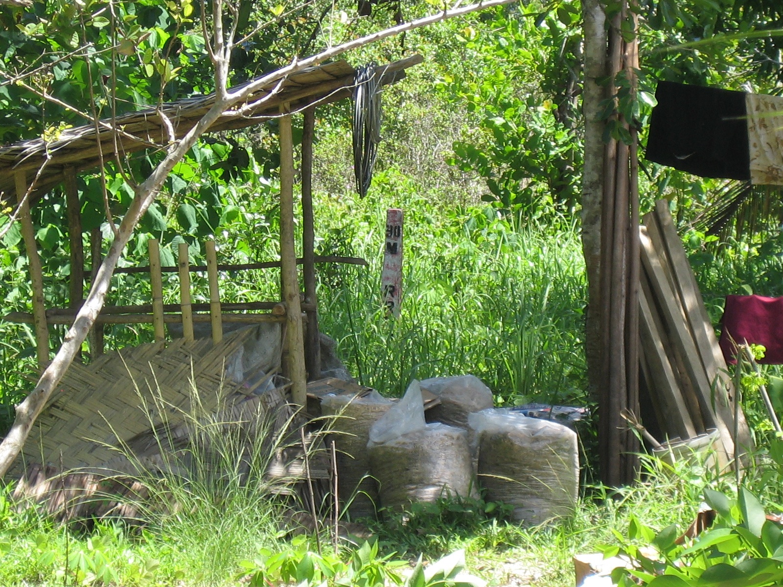 Zooming in on the marker shows it to be behind a storage shed where grain, lumber, bamboo and various other materials are piled up.
For most of these people who have encroached on the RROW, their actions are not illegal given that in many cases, the LGUs let them do so in order to develop areas along the road. The problem comes later when these developments and residents begin constricting traffic along the highways and demanding compensation when they are asked to move out to give way to road widening projects. It seems that the best approach is still for LGUs to do their part in regulating settlements along roads so that most if not all will locate outside the RROW. In other cases where it is obvious that development will come much later, it should be clear to settlers that the property is not theirs and will not be theirs, and that they would have to go sometime in the future when the road needs to be widened. This is not an easy thing for LGUs to accomplish but they should have system in place for this since it will considerably be more difficult later when the roadside has been settled with more permanent structures.
–
Manila East Road
The Manila East Road is located in the province of Rizal to the east of Metro Manila. The section of the highway featured in this post connects the towns of Taytay and Angono in the province of Rizal while also in the vicinity of Antipolo City, Cainta and Binangonan. References will tell us that the road actually stretches all the way to Laguna where it passes through the towns of Pangil, Pakil and Paete along the east coast of the Laguna de Bay and continues through more towns of Laguna until Calamba.
The following photos were taken one rainy afternoon while we were listening to the radio about senators giving their individual verdicts on the first article of impeachment for the Chief Justice of the Supreme Court of the Philippines. While there are rain drops visible in the photos, these did not obscure the view of the highway allowing us to take good enough shots to illustrate the stretch of the road from Angono to Taytay (junction with Ortigas Avenue Extension (R-5) and just before the ascent to Antipolo). It is supposed to be part of Radial Road 5 or R-5 but other references also point to the continuation of Ortigas Extension through Antipolo and Teresa as also part of R-5. These roads eventually converge in the town of Morong, Rizal.
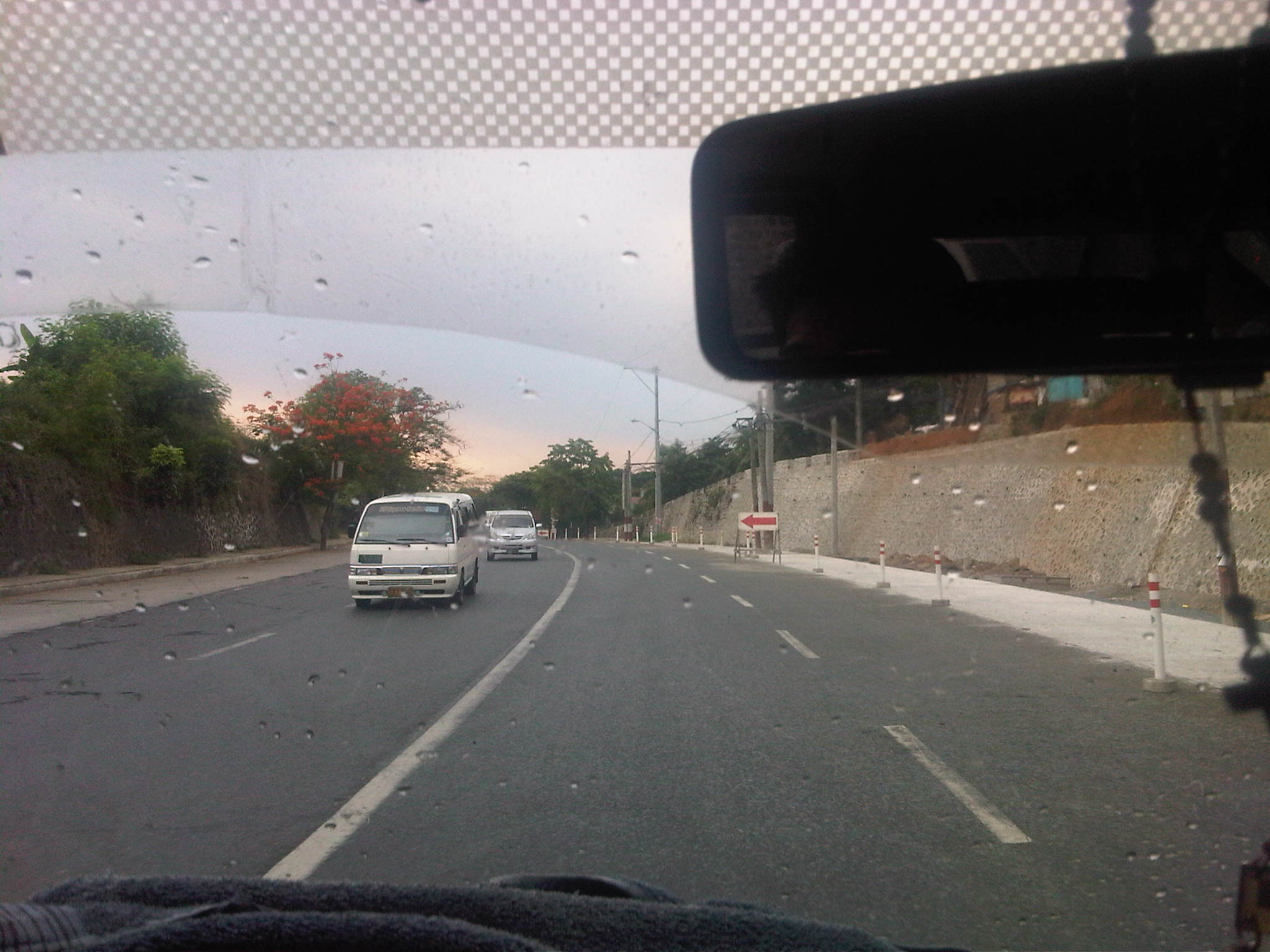 Descending from an exclusive resort where we just had a workshop hosted by a national government agency, we traveled along a section that was a 4-lane undivided road being widened to have 3 lanes per direction. While there’s a sidewalk on one side, the other side did not have pedestrian facilities.
 The section, it turns out, is a continuation of what was already a 6-lane highway as shown above.
 The 6-lane section, however, constricts into 4-lanes near the junction to the original road passing through Angono town proper. Pavement conditions were good but most markings have faded or non-existent.
 Typical of rural highways around the country, there is a proliferation of tricycles traveling along the Manila East Road. These often cause congestion due to their operations including having informal terminals along the highway.
 The lack of pavement markings can be a source of confusion for motorists who are not guided and would have the tendency to encroach into the paths of other vehicles.
 Rather simple sign to mark the boundary between Angono and Taytay. Elsewhere, there would have been an arch designed and put up by one of the towns and reflecting its character or showing off products or attractions.
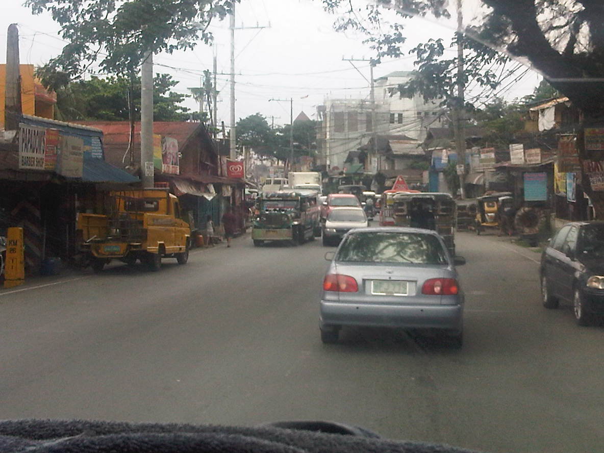 Shanties and other structures of informal settlers line up along this section of the road, effectively constricting traffic. This is supposed to be a 4-lane section (perhaps more if we check the RROW) but roadside friction including the presence of roadside parking and informal structures reduce space to about 3 lanes as shown in the photo.
 Most properties along the stretch of the highway seem unaware of building code provisions for pedestrian sidewalks and clearance in front of the building. These are matters that should have been inspected and ensured by local government.
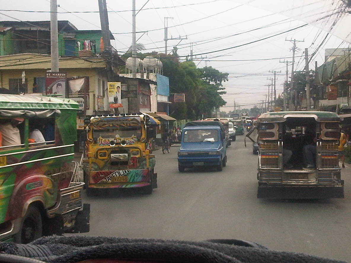 Taytay is one of the more densely populated towns of Rizal and would probably already qualify for cityhood ahead of many other LGUs that became cities in the last few years despite having shaky incomes among other qualifications. Land use planning, however, does not look like something that was undertaken for much of the areas adjacent to the highway.
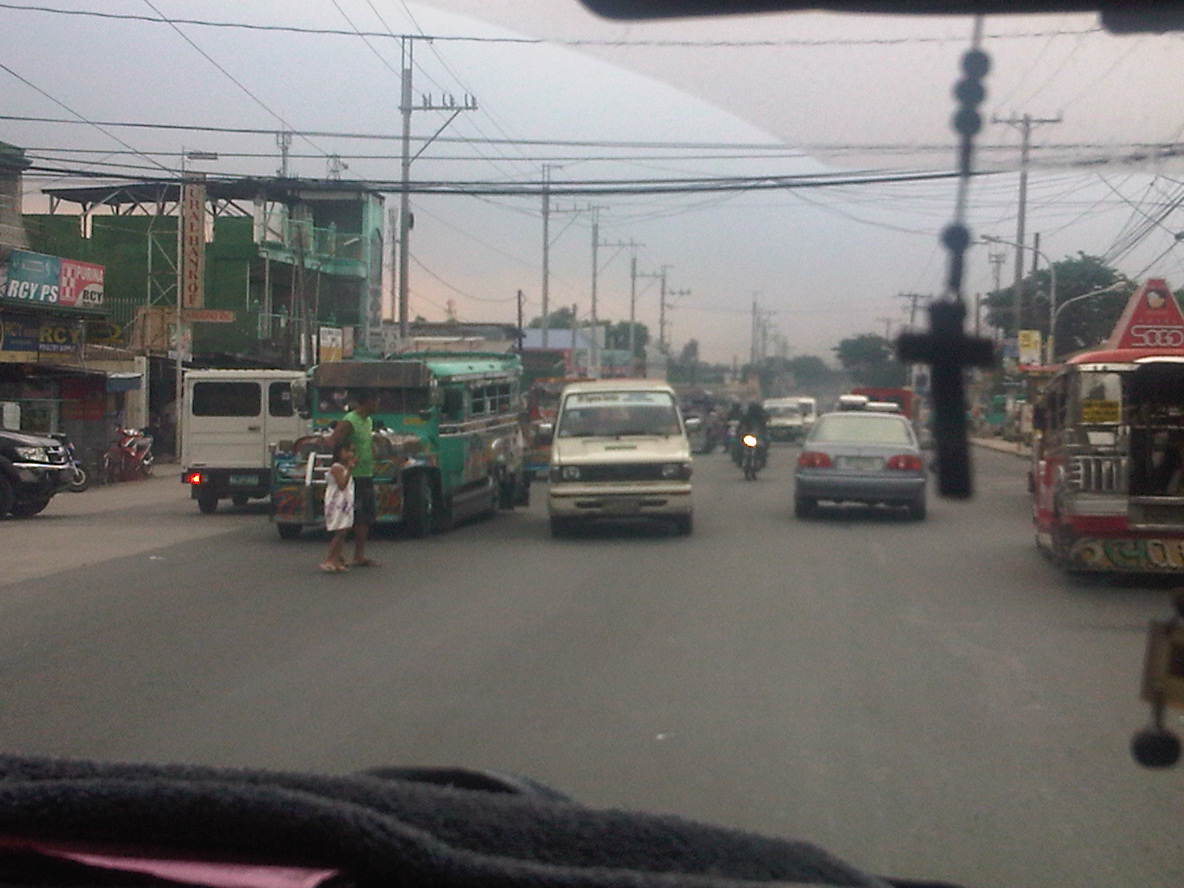 Pedestrians practically cross anywhere along the highway, with most like the man with a child in the photo seemingly uncaring about the risks posed by motor vehicles. In the case above, there are no pedestrian crossing signs or markings but in places where there are such designations people rarely follow the zebra crossings mainly out of ignorance and partly out of stubbornness.
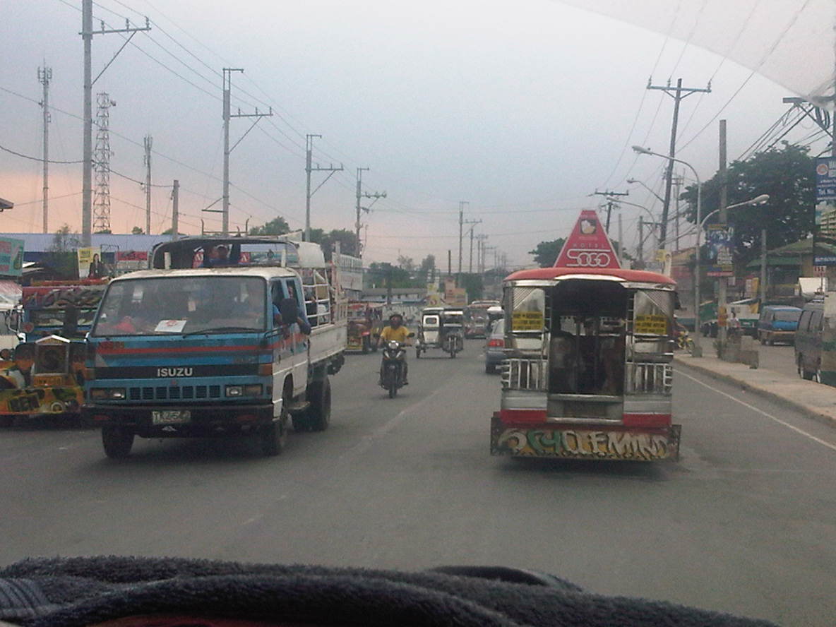 Along one section, the road widens and has along the Ortigas-bound side (right in the photo) a 2-lane service road separate from the main carriageway by a narrow concrete island. The service road is also plagued by parking though its purpose seems to be that for loading and unloading of passengers.
 Electric posts are located dangerously close to the road and would probably fall over if hit by a wayward vehicle. Such is probably the result of road-widening and shortcomings with coordination with the utility company as well as some fault, too, with the utility company as well.
 Another section with excellent pavement conditions but no pavement markings.
 There are short bridges along the highway due to the streams that run across the road from the mountains in the east to the general direction of Laguna De Bay and the Manggahan Floodway to the west. These bridges also tend to limit the width of the carriageway as shown in the photo.
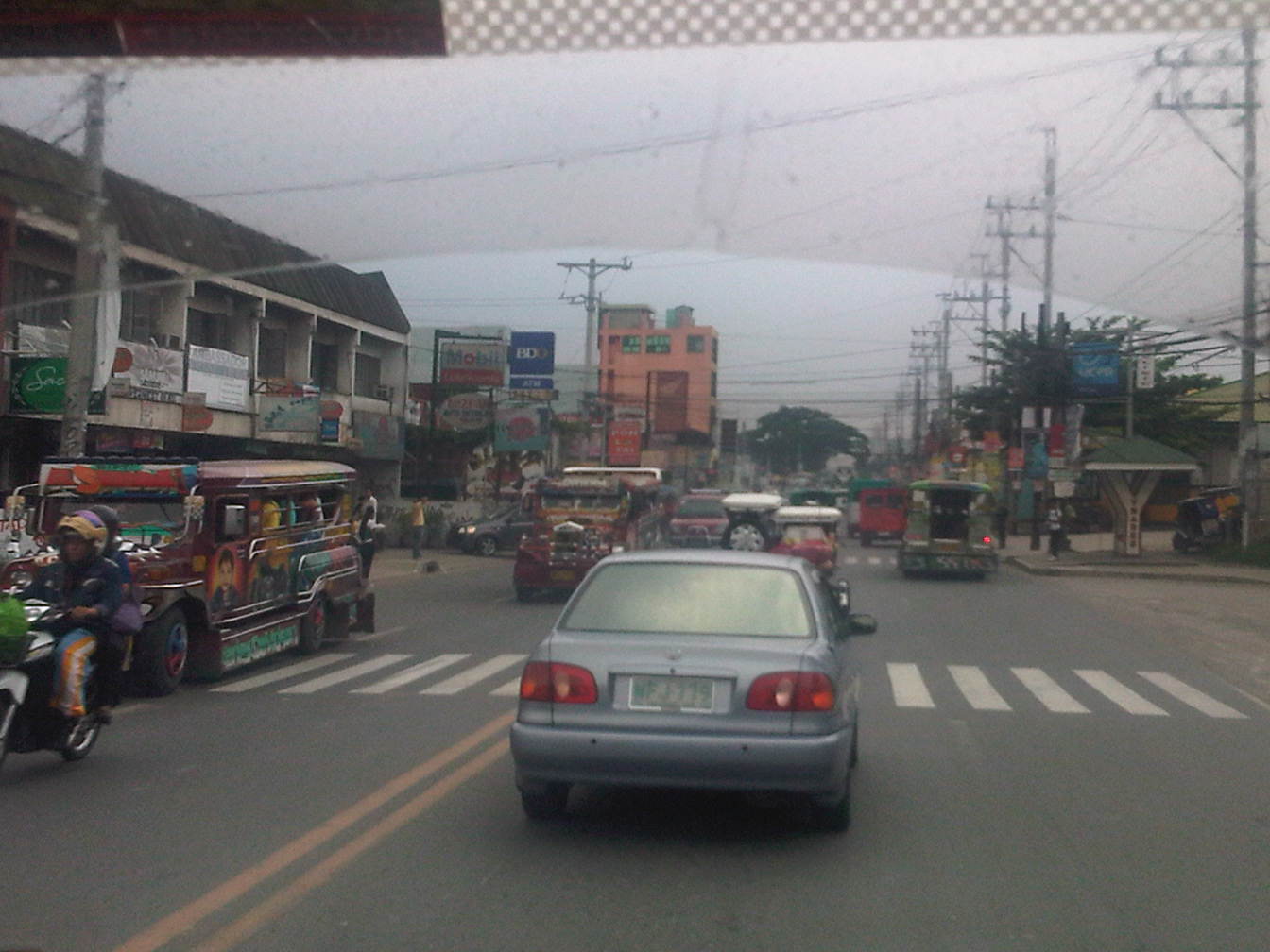 After the bridge, the road widens back to 4 lanes and complete with standard markings. For the entire length of the road from Angono to Taytay there is a trend, based on our observations, that sections alternately widen and narrow based on the developments on either side of the road.
 On-street mayhem is when you mix different kinds of vehicles and pedestrians on the road in the Philippines.
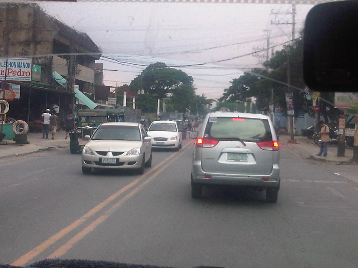 What is supposed to be a 4-lane road seems like a 2-lane carriageway because of some delineations missing and vehicle tending to hog the equivalent of 2 lanes like the vehicle in front of us.
 Junction with A. Bonifacio Ave (from Imelda Ave. and the Cainta Junction). A. Bonifacio passes through the town centers of Cainta and Taytay but is usually a very congested road having a narrow 4-lane carriageway that’s effectively a 2-lane road. The Manila East Road effectively bypasses that road. Notice that after the junction, the road markings are all there.
 Curve right after the junction
 This section has a total of 8 lanes based on the pavement markings but effectively has only 6 as the outermost lanes are often occupied by parked vehicles or used by pedestrians in the absence of sidewalks along either side of the highway.
 Pedestrian bridge between two buildings comprising the SM City Taytay. People have a tendency to cross at street-level so to force them to use the overpass, barriers were placed along the median. The barriers seem to be quite porous and I only wonder if anti-jaywalking policies are enforced in the area.
 An 8-lane stretch of the highway featuring a covered court with the name of a provincial politician stamped on its roof. This section used to have only 4 lanes with some shoulder space on either side of the highway. The DPWH and the local government had a measure of success in recovering land from encroachments and easing informal settlers off from the RROW, something that should probably be undertaken but which requires much more effort along sections shown in the previous photos.
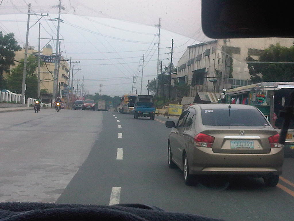 Road widening was still being implemented along the Ortigas-bound side of the highway when we passed through. There was no congestion though since the carriageway was wide enough to carry the light traffic during the early afternoon.
 The 8-lane section narrows to the equivalent of 6 lanes though the pavement markings seem to indicate only 4 lanes as shown in the photo. Already visible in the photo downstream of our position is the Tikling Junction – the intersection of the Manila East Road with Ortigas Avenue.
 Approach to Ortigas Avenue Extension and Leonard Wood Road (which is to the left just before the intersection with Ortigas)
 Junction with Ortigas Avenue Extension
–
Manila Gravel Pit Road – Litex Road
Among the more unusual names for a road is one that connects Quezon City in Metro Manila to Rodriguez (formerly Montalban) in Rizal Province – the Manila Gravel Pit Road. It is also known as Litex Road, which is referred to in many bus signboards plying the Fairview / Novaliches routes. The following photos were taken around the same time the other photos along the Batasan-San Mateo Road, Montalban Highway and Payatas Road were taken and so comprise a series of posts.
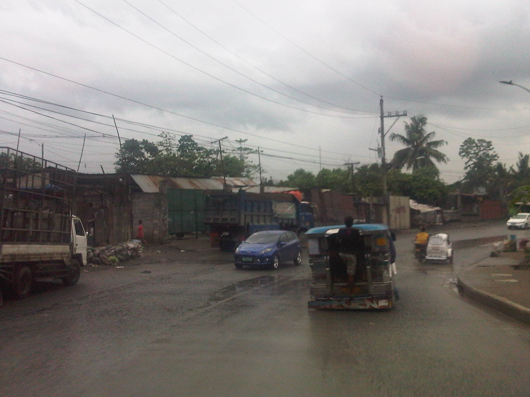 The road has 4 lanes along some sections but is effectively a 2-lane road due to significant roadside friction include parked vehicles along either side.
 There are many informal settlers encroaching upon the RROW like the shanties shown on the left side of the road in the photo.
 There are a few picturesque section of the road owing to the presence of greenery on both sides of the highway. There are also efforts here and there to improve drainage. One concern though is the lack of pedestrian facilities forcing people such as the woman on the left to use the carriageway instead.
 When I look at the photos now, I keep trying to keep in mind that the reason there is a fence made out of CHBs on one side of the road is because it demarcates the property of the La Mesa watershed.
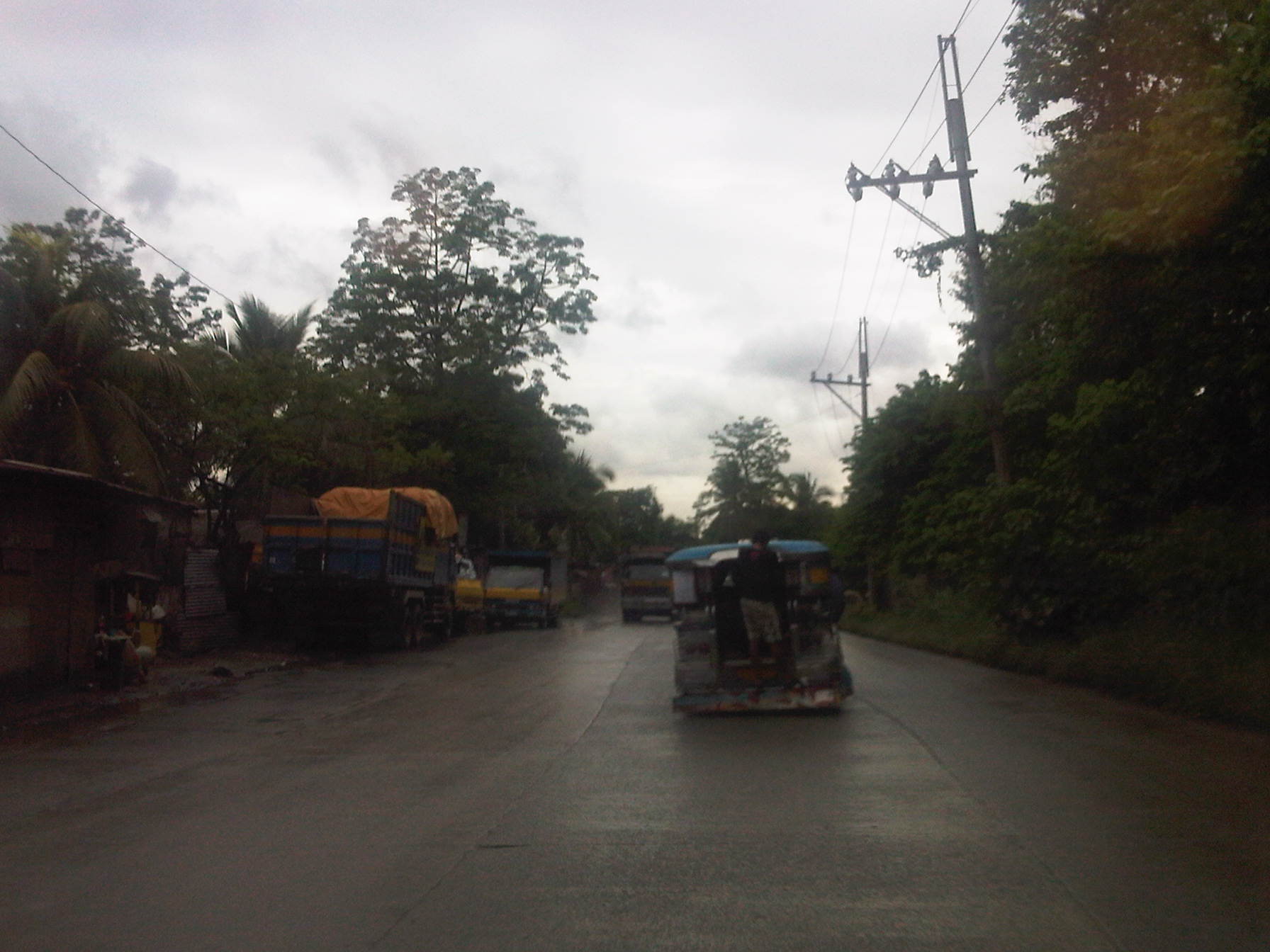 There is significant truck traffic along this road. In particular there are many dump trucks (the rigid 3-axe types) traveling along the road for the primary purpose of transporting garbage to the nearby Payatas dumpsite. Prior to the focus on the dumpsite, the road was named as it was because of it being used to haul gravel from the quarries in nearby San Mateo and Montalban.
 Section near a Manila Water facility (right) as only 2 lanes without sufficient shoulders on either side of the road.
 One can easily see the garbage trucks from afar due to the typical bright yellow color of most trucks hauling garbage to the dumpsite.
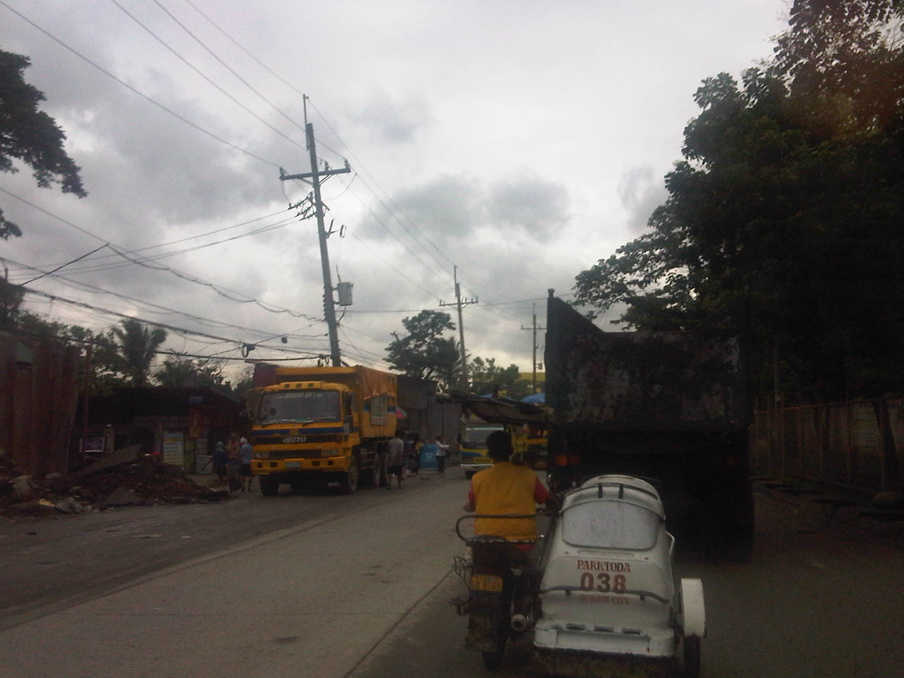 One will see many trucks parked along the road and still with their loads. Some truckers will try to salvage items they could sell to junk shops like scraps of metal, bottles and plastics that they are able to sort from their loads. What remains will be taken to the dumpsite where scavengers will have their chance to pick on whatever are left that probably has value.
 There are many garbage trucks traveling along or parked along this stretch of the road as the numerous side streets lead to the Payatas dumpsite.
 An elementary school building (name of school I forgot to take note of) with its typical yellow and blue motif used in the past administration of QC and retained with the current dispensation.
 One will encounter more trucks along the road heading towards the dump site or their suking junk shops.
 That’s the Cecilia Munoz Palma High School with the yellow and blue motif building. It is one of the better public schools in Quezon City considering the limited budgets for public education.
 From a road safety perspective, the road section fronting the school is unsafe for students as there are no pedestrian facilities, road markings (zebra crossing, rumble strips, etc.) and traffic signs (school zone, speed limits, etc.)
 More trucks parked along the road beside informal junk shops put up by informal settlers. Many truckers also live in the area where many informal settlers are tolerated by the local government. These allegedly translate into votes during election times.
 Trucks galore…need I say more?
 Approaching Commonwealth and the Fairview area, lands on either side of the road are occupied by informal settlers that hide the formal residential subdivisions in the area. Many structures have occupied what could have been pedestrian sidewalks and buffer zones between residential areas and the road. The situation is exacerbated by roadside parking.
 While there are semblances of sidewalks along some sections, pedestrians are eventually forced on the road because of obstructions and encroaching structures.
 The truck traffic and the lack of pedestrian sidewalks combine for an unsafe road.
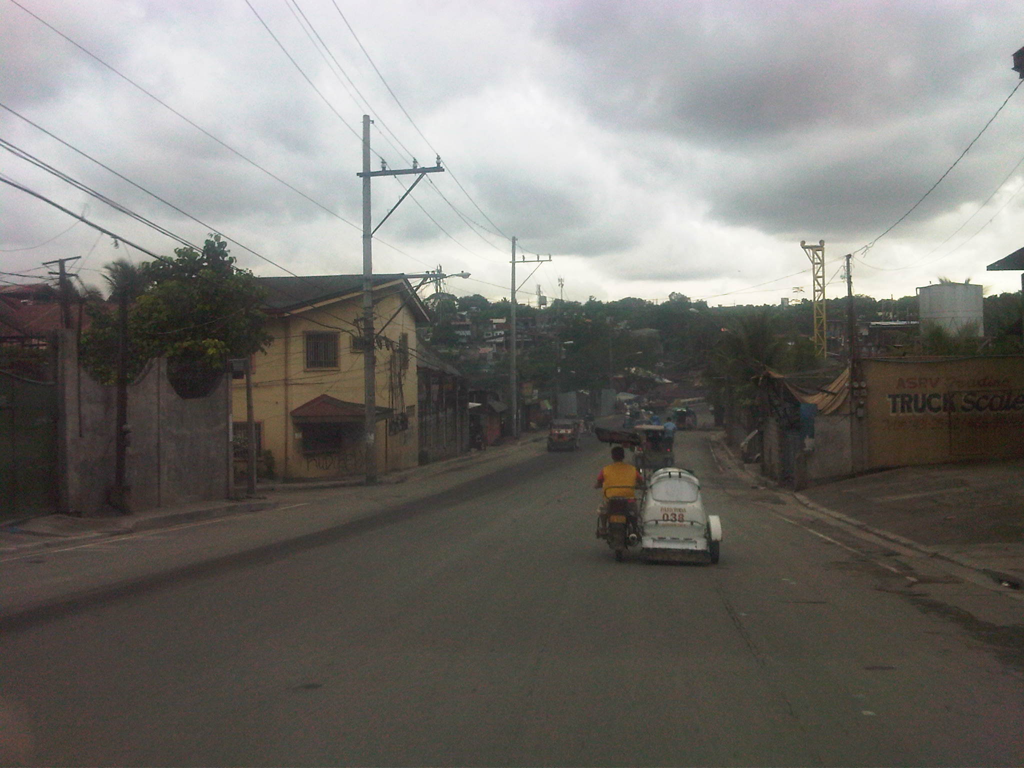 The higher grounds of the Batasan area is visible in the horizon. This road section is conspicuously wide (4 lanes) and we chanced upon passing through while there was light traffic. Note also the more formal structures on either side of the road though pedestrian facilities are still lacking.
 More junk shops along the road with some selling second (or even third) hand materials that can be used for construction. Many become the “building blocks” of shanties in informal settlements in the area.
 Most sections have poor pavement conditions due to truck traffic and the lack of a proper drainage system. Water eventually seeps beneath the concrete layer and weakens the foundation (sub-base) of the pavement.
 Further examples of bad practices – pedestrians walking on the carriageway, passenger hanging on a jeepney, lack of traffic signs and road markings, and tricycles along a national road.
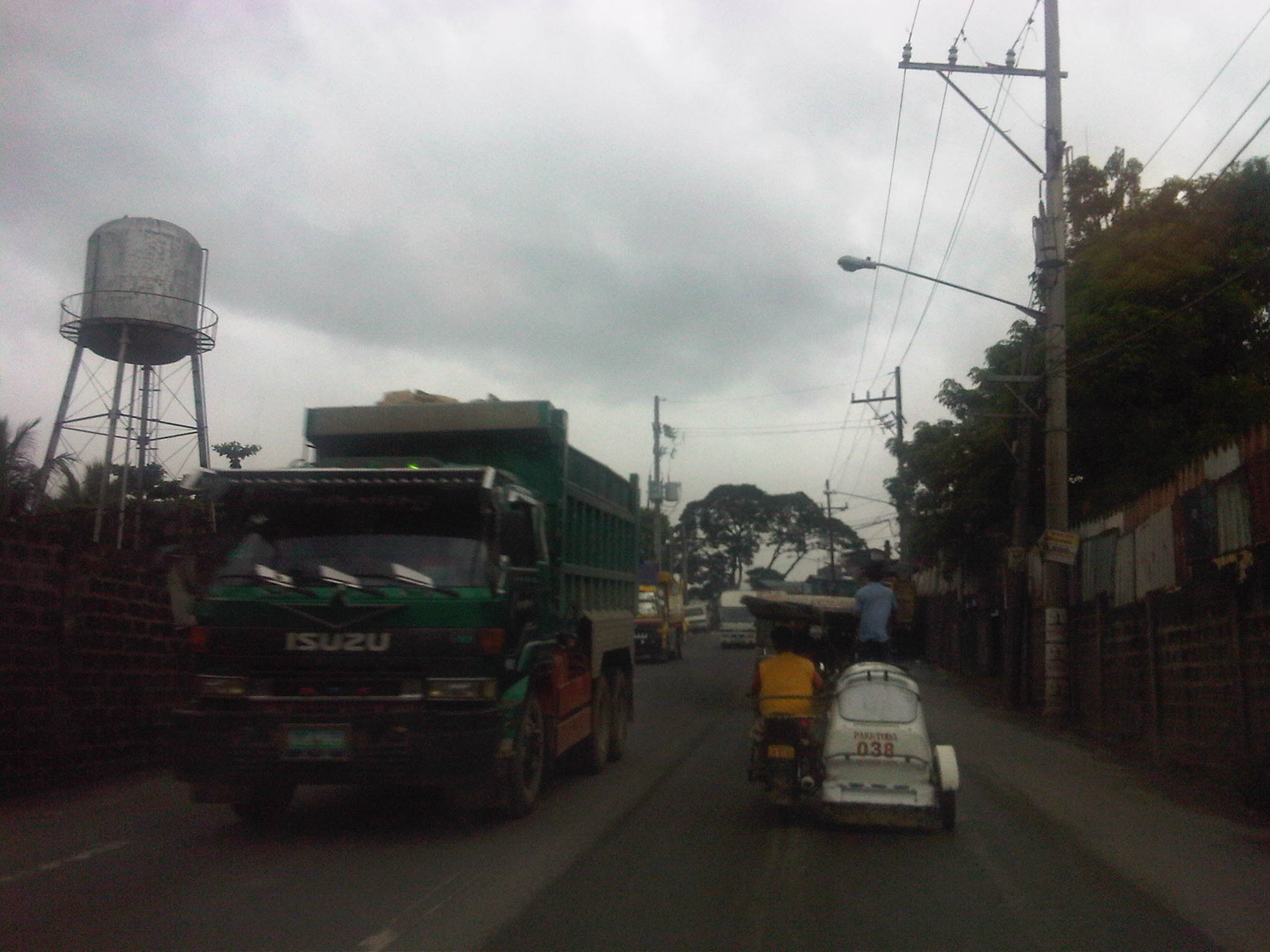 No sidewalks here, too, so pedestrians (if they dare to walk here) can be pinned between traffic and the walls on either side of the road.
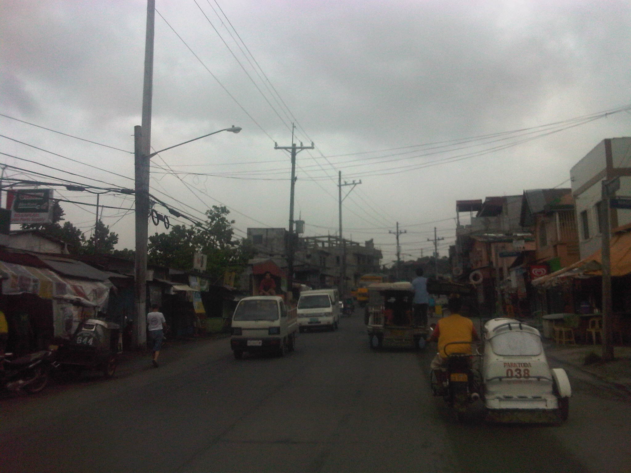 There are many informal settlers around the Payatas area and formal residential areas are often obscured by structures built along the roadside including stalls, stores and repair shops.
 A busy section complicated with parked vehicles along the roadside and the proliferation of tricycles and motorcycles in this densely populated (and vote-rich) part of Quezon City.
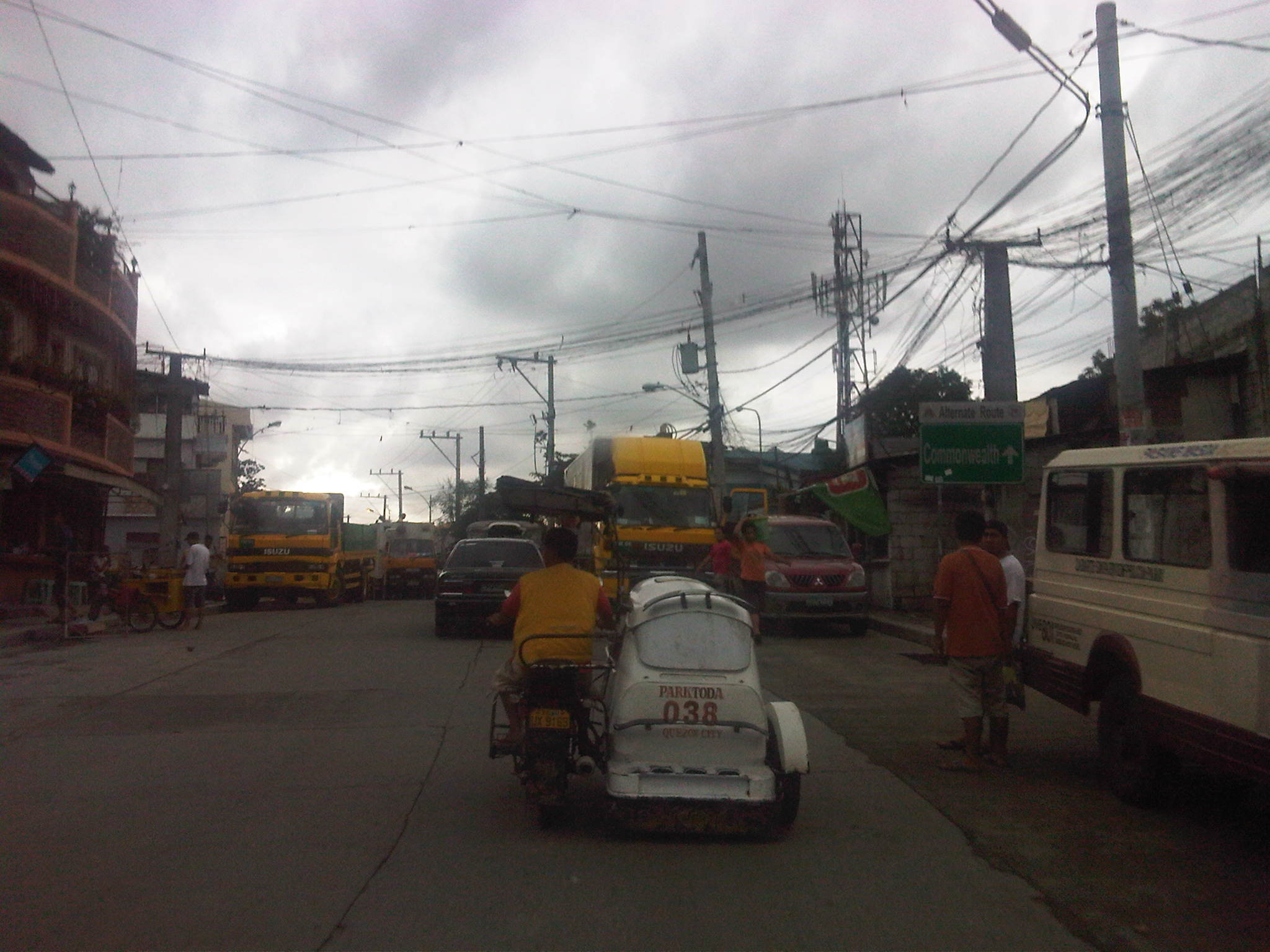 A sign that is not so easily seen informs travelers they are approaching Commonwealth Avenue. Also, have you noticed that the tricycle in this photo is also present in most of the previous photos? This is proof of the long ranges of such tricycles serving the area and competing directly with jeepneys with fixed routes. They are also among the many that violate a fundamental law that prohibits tricycles along national roads. Perhaps if this were a rural area, they could be excused but this is part of the urban jungle and so its obvious that the local government is at fault for not regulating their operations.
 The road intersects with the Batasan Road just before the junction with Commonwealth Avenue. Near the Litex-Batasan intersection are all sorts of vehicles (jeepneys, AUVs, trucks, cars) parked along the roadside or at vacant lots plus tricycles lined up along informal terminals right on the streets.

More efforts are obviously needed to improve road safety along this road, particularly to encourage walking along areas better suited for such rather than being dependent on tricycles or pedicabs. The road is used by a significant volume of trucks, most of which carry solid waste or garbage collected from different parts of Metro Manila. Such freight are themselves associated with risks including their potential spillage and could contribute to pollution due to leachate from the usually wet garbage collected and hauled by the trucks.
–
R-10: Smokey Mountain
I have not been to the Smokey Mountain area in a long while. The last time I’ve been there was in the mid 1990s (around 1995) when the area was still largely undeveloped and literally smoking from the smoldering garbage and the fires caused by methane released by the decomposing waste in the open dump site that grew to mountainous proportions. At the time, there were some efforts to alleviate the living conditions of people who resided here, many of whom depended on scavenging for junk and the production of charcoal. While Quezon City had its own mountains of garbage in Payatas, Smokey Mountain at the time symbolized poverty and desperation in the Philippines and took informal settlement to an even higher level than what we usually see around factories and vacant lots mainly in cities around the country where people try their luck in the hopes of having better conditions in life.
The following photos were taken while we were returning to Quezon City from a meeting in Manila. Our driver offered the idea to take this route as against the usual one that passed through Quezon Blvd and the Quiapo area, believing that a route via R-10 and C-4 would be faster. It was indeed faster and afforded me photo ops of the road environment along the way. Admittedly, the photos are not of good quality (blurry) as it was a gloomy afternoon and there was a slight drizzle the entire time we drove from the Port Area to UP Diliman.
 R-10 northbound – having an animated conversation with my fellow passenger, I almost forgot where we were and the area we were passing en route to C-4. I suddenly recognized the area when I saw what looked like a small hill in the horizon. It was then that I realized that that was no hill. It was a mountain – Smokey Mountain.
 Walk-up – on our right were 4-storey apartment buildings that looked like they were at the point of bursting what with all the protruding wood, metal and cardboard from the buildings. The original building is colored beige and all other “enhancements” are actually attempts to expand units probably made by residents to accommodate more (extended) family members.
 Extensions and expansions – I don’t know if the modifications to the tenements are legal or done with the approval of local authorities. I am sure though that these are unsafe and would probably collapse if a significant magnitude earthquake hit Metro Manila. Such are the urgent problems of mass housing that need to be addressed and quickly. But then, beneficiaries of such housing should not abuse their units to the point that they become decrepit and safety hazards.
 On-street parking – along R-10 were parked vehicles of which many were trucks and tricycles. The residential areas are served mainly by 3-wheelers including tricycles and pedicabs (padyak). Most business along the roadside cater to truckers: vulcanizing shops, vehicle repair, eateries and sari-sari stores that are part of the informal (and underground) economy; a major aspect of transport in the Philippines.
 Wide carriageway – the sections of R-10 in the Smokey Mountain area had something like 5 lanes per direction. There were no pavement markings so this is just an estimate based on the likely lane widths to factor in the significant truck traffic passing through the area. My previous memory of the place was a 2 lane road without curbs or shoulders.
 Foot of the mountain – this is what remains of Smokey Mountain after much of the garbage had been transferred, and the rest treated after dumping was ordered discontinued in the 1990s after outcries from environmentalists and various NGOs. The pavement conditions back in the 1990s were so bad that there were frequent congestion along the road and leachate from the garbage flowed along the roads. It was worse during the wet season as the rain and the usual winds sprayed a stinky mix unto vehicles passing the area. One had to wash or take his/her vehicle to the car wash as it will smell really bad. If you allow the vehicle to dry, its even worse because in addition to the smell, the car exterior would be sticky.
 Mountainside – there were garbage and other wastes, the homeless and informal settlers everywhere in the area. Mountains of waste were on either side of the road, and the smell will seep into a vehicle, never mind if one drove a new car as the stench was strong enough to overwhelm filters and air-conditioning given enough time.
The residential buildings in the preceding photos are not the first ones to be built in the area. In the early 1990’s a few walk-ups were constructed on the other side of the highway as a first effort to address the question of informal settlements around Smokey Mountain. I remember those to be the first ones to be abused by the residents/tenants themselves who seem to think it was their right rather than privilege to be granted housing and be beneficiaries of livelihood projects by both government and NGOs.
It is a good thing that the dump site was closed many years ago. Unfortunately, similar waste disposals are present elsewhere including parts of Payatas in Quezon City and San Mateo in Rizal. Open dump sites should not be an option for many LGUs without the proper guidance of experts from pertinent government agencies and the private sector. Proper and suitable waste management systems should be a priority for LGUs.
–
San Fernando, Pampanga Poblacion
I had the opportunity to do a project in San Fernando, Pampanga and went around the poblacion taking photos showing transport and traffic conditions in the old city center. To many travelers, perhaps the San Fernando they know is associated with what they see along the Gapan-San Fernando-Olongapo Road (also known as Jose Abad Santos Ave along this stretch in the city) after exiting the NLEX. There is much commercial development along the stretch of the highway between NLEX and McArthur Highway and of course, around the exit itself as mall giants SM and Robinsons have branches there. The “real” San Fernando is located only a few kilometers south from GSO via McArthur and the poblacion reveals a lot about the heritage or old character of the city and perhaps its potential for restoration as an example of urban development during the Spanish times.
Following are a collection of photographs from field work that we did in the city. We took a walk around the principal roads including McArthur, Tiomico, Consunji, Gen. Hizon., Abad Santos and Limjoco. Tiomico eventually becomes the Capitol Blvd. as it leads to the provincial capitol complex while Consunji becomes Sto. Nino Viejo when traversed westbound. The latter becomes Lazatin Blvd, which crosses GSO towards the north. Gen. Hizon appears to be the original alignment of the Manila North Road (McArthur), which passed through the heart of the city. Sometime in the not so distant past, a bypass road was constructed as traffic became constricted in the poblacion and many travelers not bound for San Fernando were inconvenienced by the congestion. This is clear from the maps of the area.
 Poblacion preview – The San Fernando cathedral as seen from the approach of the bridge along Gen. Hizon Ave. The bridge itself appears to be an old one. It is a two-lane structure and its lamp posts reminded me of a similar bridge in Melaka, Malaysia I saw only this year.
 The cathedral as seen from the bridge – the junction immediately after the bridge is Gen. Hizon’s intersection with Consunji Ave. The latter is one way eastbound so left turns are prohibited at the junction. Vehicles may go through towards Tiomico (the next junction right after the cathedral) or right where travelers will immediately see city hall on the right side of the road and just across from the cathedral; the typical set-up of most old towns in the Philippines.
 Gen. Hizon Ave. towards Tiomico – the commercial establishments around the cathedral are very similar to those you would in many other old cities and towns around the country. Pedestrians are supposed to take the arcade sidewalks just in front of the ground floors of the buildings on the left and underneath their second floors. These seem to be blocked by merchandise or stalls so some pedestrians take the street instead. The photo also shows typical on-street parking in the poblacion.
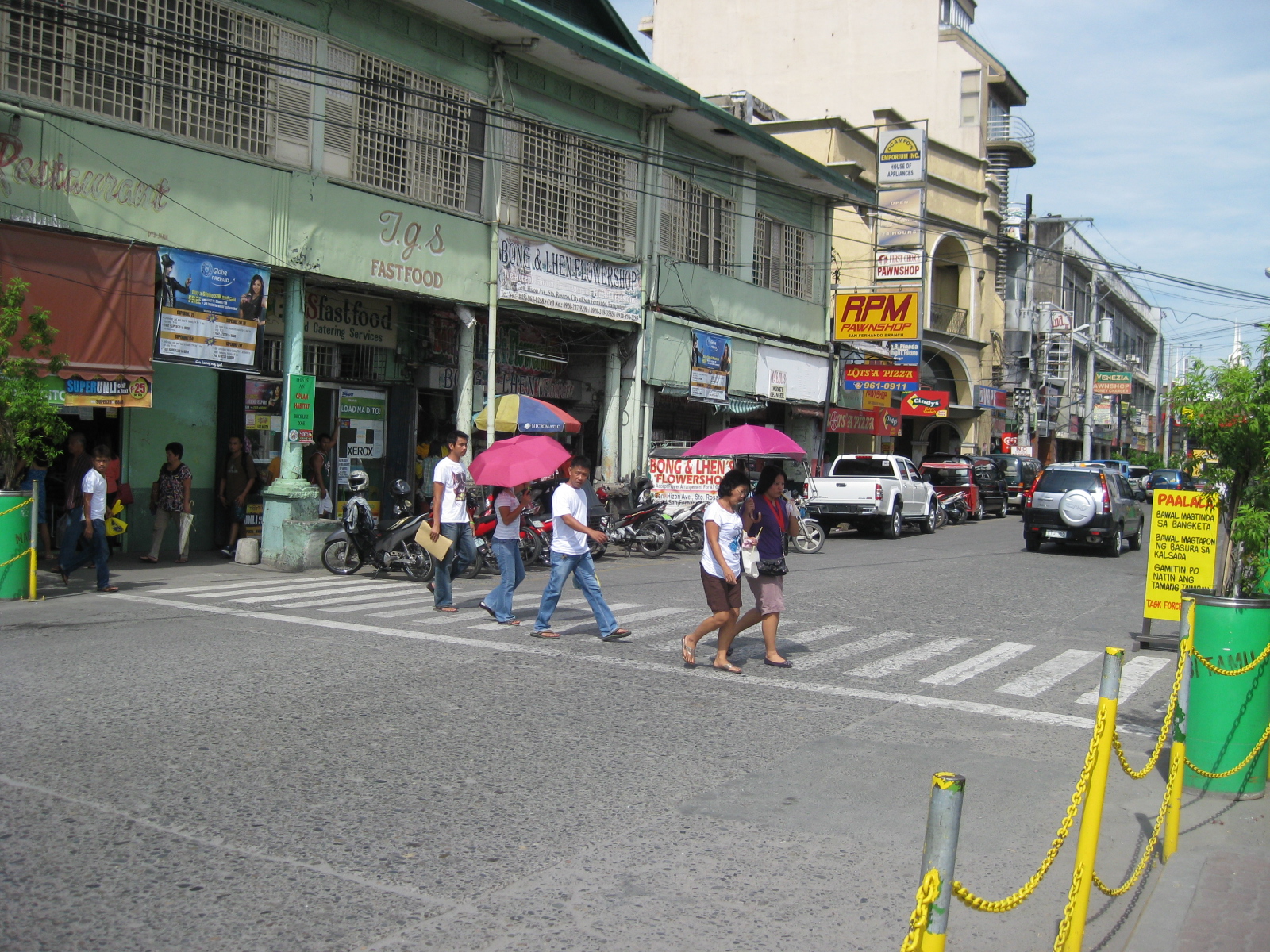 Pedestrian flow – the photo shows pedestrians crossing Gen. Hizon from the commercial establishments on the left towards the cathedral. The photo also shows people using the walkways integrated with the buildings (arcade), providing shelters against the elements, in this case the scorching sun.
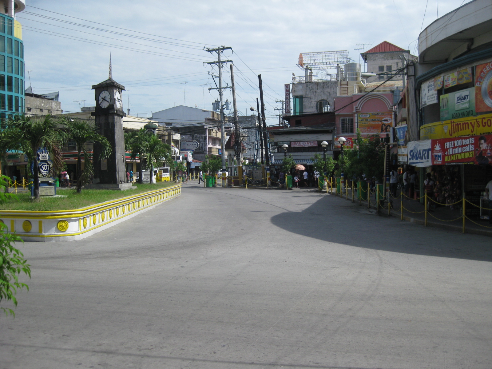 Rotonda? – at what seems to be the end of Gen. Hizon is a curious set-up which functions as a rotonda. Tiomico is also a one way street (westbound) and there is another intersection just ahead in the photo after turning right from Gen. Hizon.
 Off-set intersection – Gen. Hizon actually continues as B. Mendoza Ave. (which eventually leads to a junction with McArthur to the north) from the junction that is identified by the 7-Eleven on one of its corners that is visible in the photo. The public market is just across from the building housing the convenience store.
 City hall – the building is just across from the cathedral and the parking problems in the city are clear from this photo alone. City halls generate a lot of traffic due to the transactions, meetings and other activities associated with the institution. On weekdays, most parking in front of the building and across at the cathedral are probably by people with business at city hall. During Sundays, parking would be for church-goers.
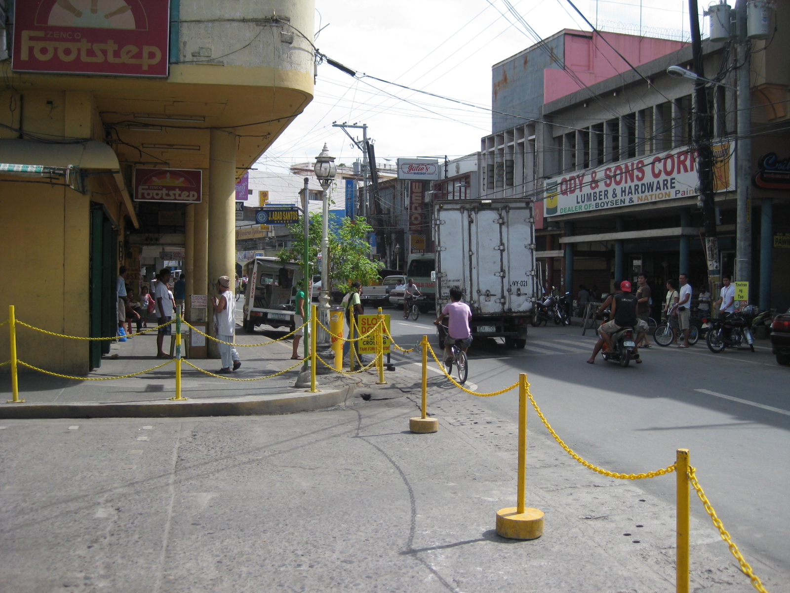 Walkways – the arcade/pedestrian walkways I were referring to earlier are much like the one shown in the left of the photo in front of a shoe store. The set-up allows for pedestrians to be shielded from the elements as they should be able to walk comfortably without getting wet during the rainy season or exposed directly to the sun during the summer. The street on the right is Consunji and leads to the public market, part of which is just behind the yellow building.
 Jose Abad Santos Street – the stretch was closed to motor vehicles at the time we walked around the poblacion. There was a sports event at the time and the street was being used for races – note the writing along the zebra crossing indicating the starting line for the race.
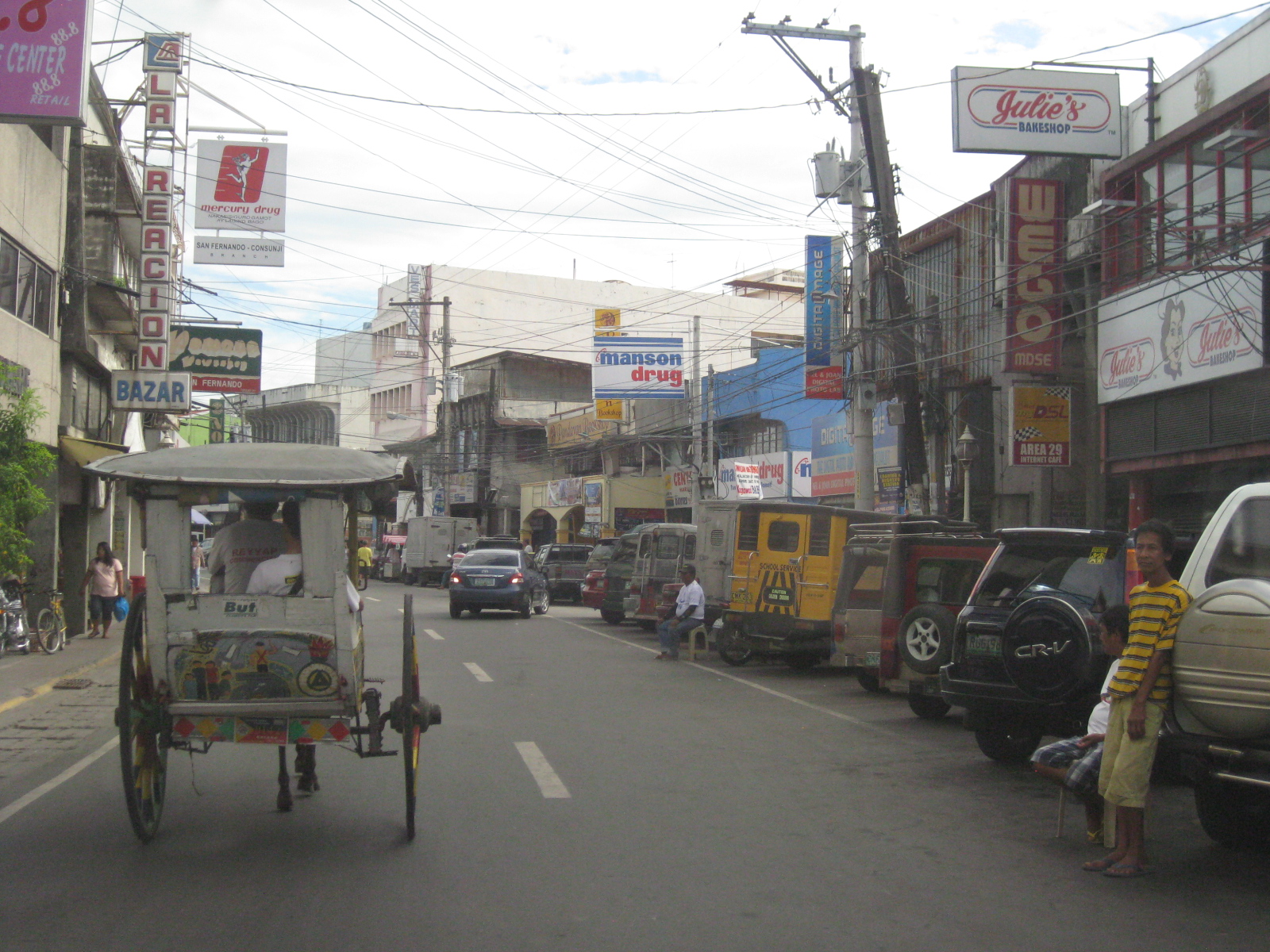 Consunji by the market – the one-way street is lined with commercial establishments and part of the street is used as parking, a common problem in other poblacions in similar cities.
 Prohibition? – this is Tiomico Street in the public market area. The sign on the lower left says 3-wheelers are not allowed along this stretch of the street and yet we found most of the vehicles to be exactly what is supposed to be prohibited – tricycles and pedicabs. The stretch could have been nice if it were developed into a pedestrian street instead with limited access to motor vehicles (perhaps for deliveries only?) much like those market streets in Japan.
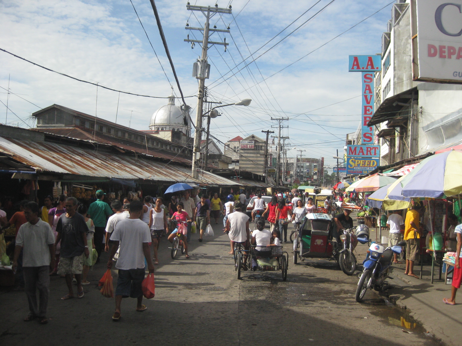 Typical mayhem – further down the street is a mix of people, bicycles, pedicabs, tricycles, and other motor vehicles. There’s potential here for re-development or transformation that would enable the revival of this commercial district that includes the public market.
 Blast from the past – aside from the typical tricycles and pedicabs providing for local public transport, we were a bit surprised that there were still calesas, or two-wheelers pulled by horses. At the time (2010), the kutseros or drivers charged PhP 10 to 20 (about 20 to 50 US cents) per passenger depending on the destination. These calesas are all registered with the local government, and they have license plates indicating their registration.
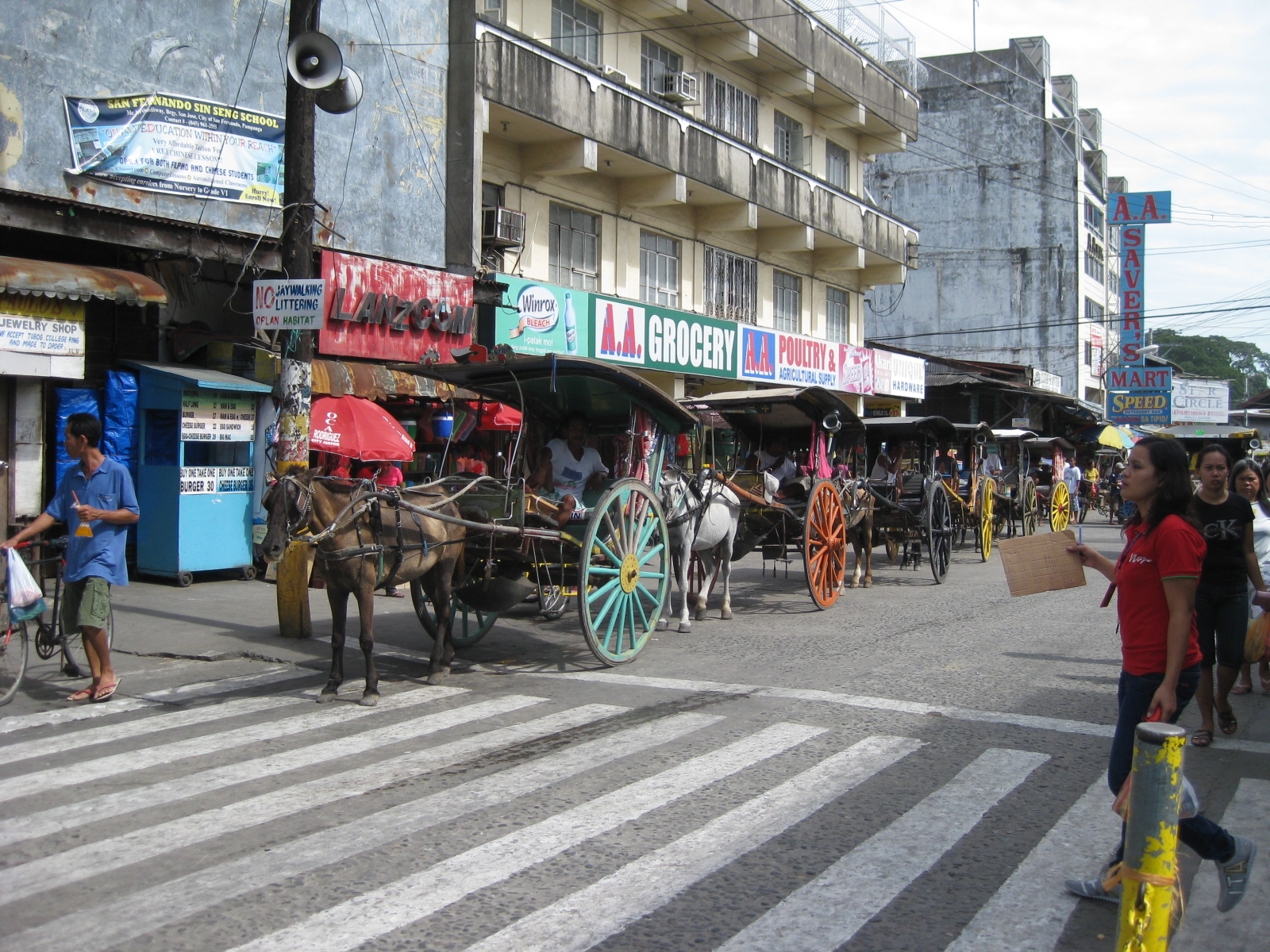 Queue – most of the horses pulling the calesas looked healthy enough and well-cared for. The kutseros were kind enough to answer our inquiries about their operations. I think the city should carefully consider how to take advantage of its heritage/character to promote sustainable transport including walking, NMT and the calesas for moving around the poblacion and its immediate environs.
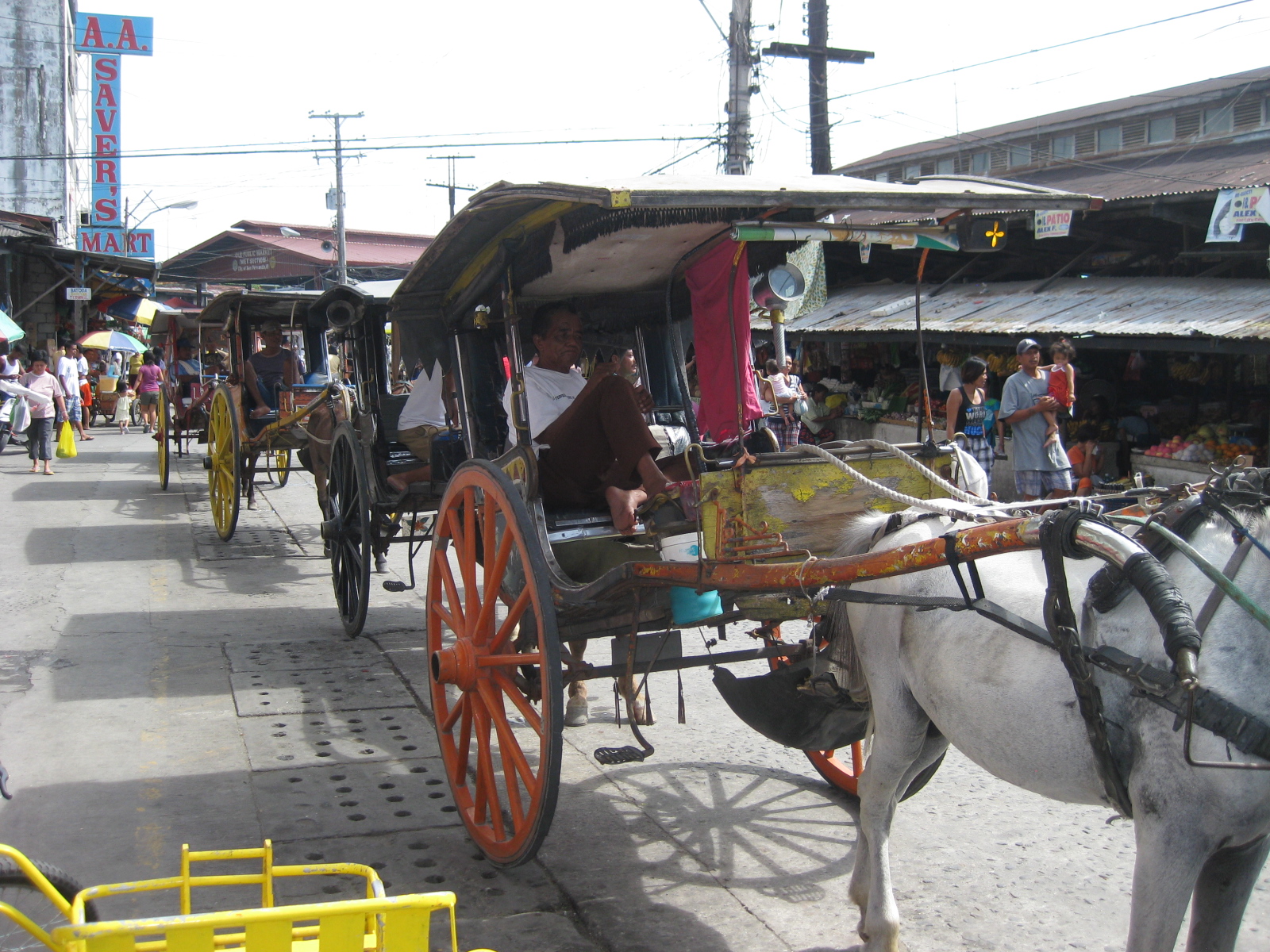 Two-seaters – the passenger capacity for the calesas is two. To address the poop issue, there is a contraption just behind the horse and hanging under the carriage that catches dung and prevents it from being spilled unto the roads. I assume these are disposed of properly.
 Alternative design – the pedicabs in San Fernando are different from the conventional ones we see in other cities or towns. Noticeable from the photo is that this is not your regular bicycle with a sidecar set-up. These are fabricated 3-wheelers that seem to be sleeker if not more stable than the usual pedicabs we’ve seen.
 Tiomico Street – just after Gen. Hizon, one gets an idea of the challenges for transport and traffic in San Fernando. The one-way street has no pavement markings, obstructed signs (if any at all), no pedestrian sidewalks and vehicles each doing their own thing along the road (e.g., motorcycle zigzagging through traffic, jeepneys stopping anywhere, etc.).
 Walkability – people generally walk along the carriageway, as shown in the photo, due to a lack of proper facilities like sidewalks. Though there are remnants of zebra crossings, people also generally cross anywhere and so contribute to the mayhem along the streets. There was a proposal for a pedestrian overpass but such is so inappropriate given the narrow streets. No one will use such an overpass as it would be more an inconvenience to pedestrians. A more appropriate treatment would probably be traffic calming or other approaches that would prioritize pedestrians over motor vehicles in the poblacion area. The lot where jeepney terminal mentioned on the left side of the photo is now an SM mall.
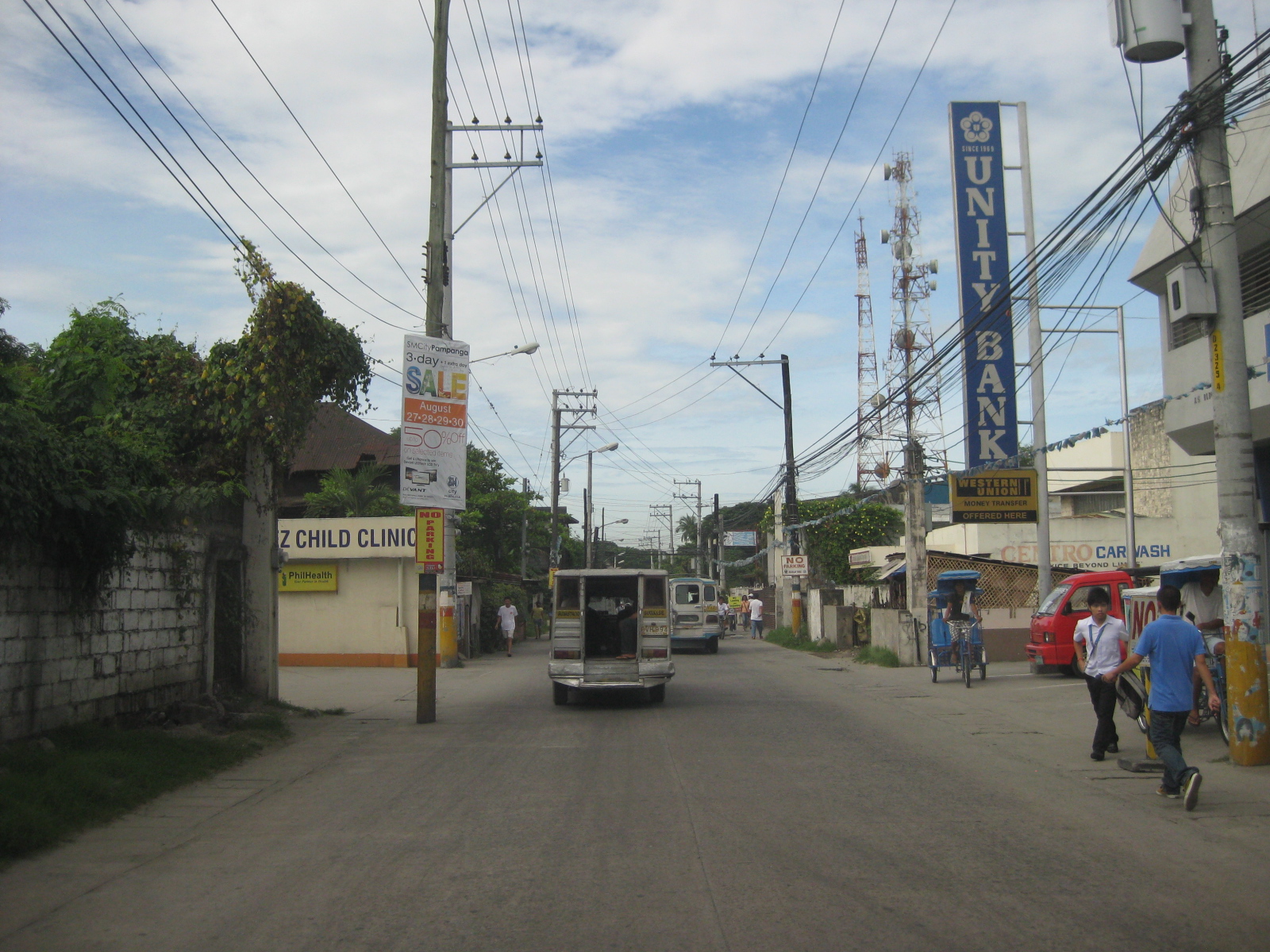 Hazards – the relocation of electric poles seem to have been an afterthought when they re-paved Tiomico. These are not easily seen at night and could lead to crashes should vehicles miscalculate their locations. The road drainage may be found beneath concrete covers on either side of the road such as those along which the people in the photo are walking over. These are supposed to be easier to maintain as crews can just lift the covers to remove blocks such as garbage.
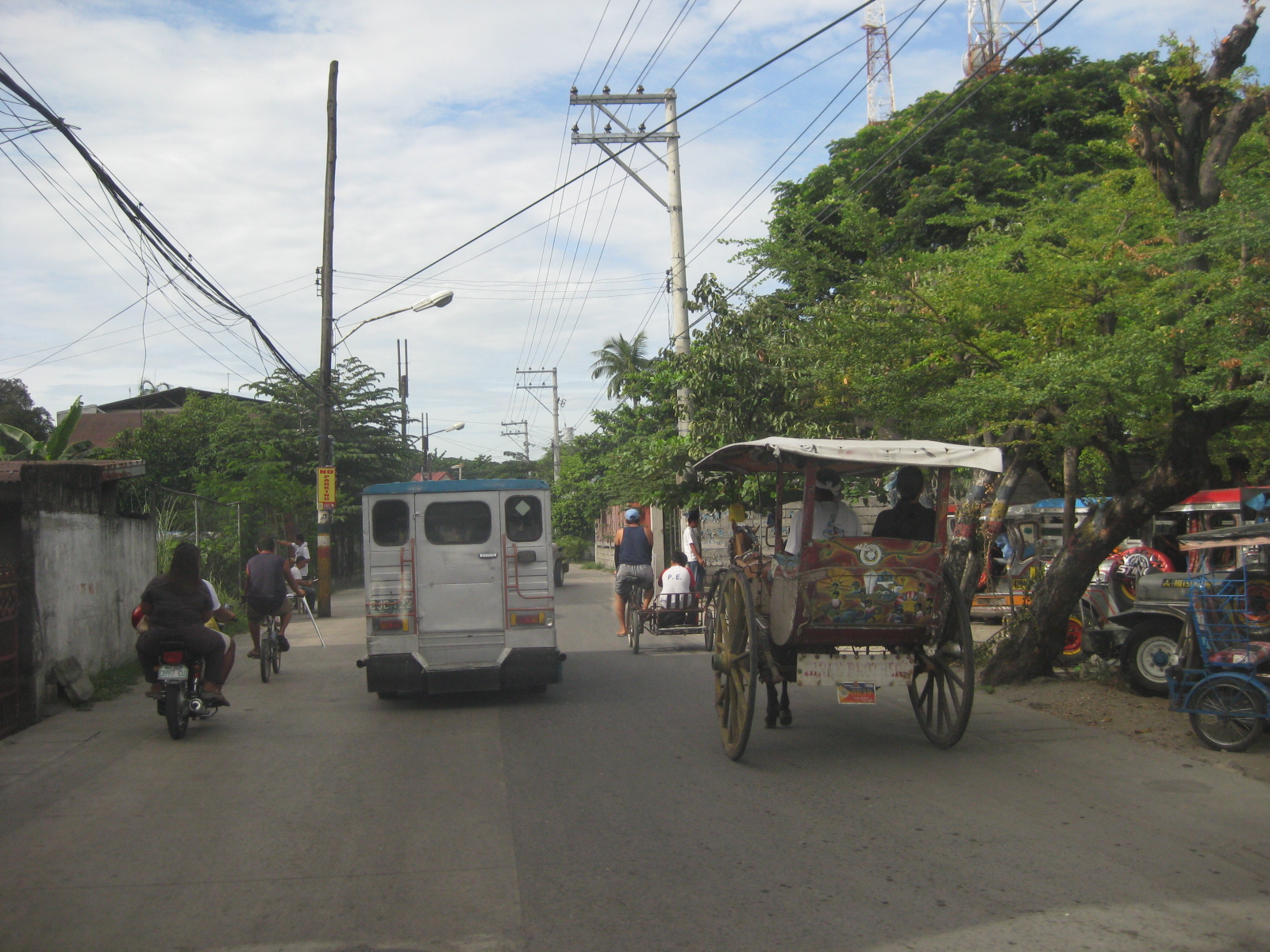 Traffic mix – I like this photo because it shows almost all modes of transport operating in the poblacion: calesas, pedicabs, bicycles, motorcycles, and jeepneys. Its a good thing trucks are banned from using these roads. Otherwise, traffic would be worse.
 Junction – approach to the junction of Tiomico, Lazatin Street (left) and Capitol Boulevard (right). There were no signs to indicate the approach to the intersection as well as for traffic control (e.g., stop or yield signs). There are also no pavement markings.
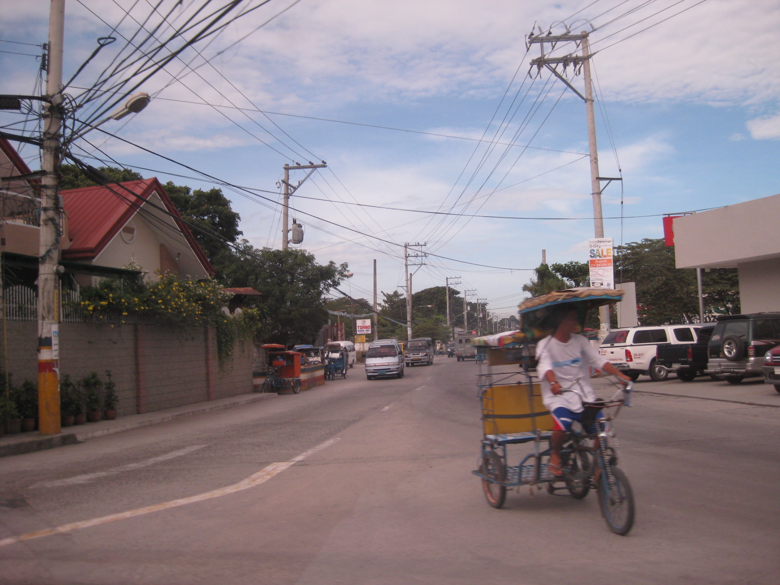 Capitol – the photo shows vehicles approaching from Capitol Boulevard, which comprise generous (wide) two lanes. Sidewalks were on either side of the boulevard except where there were driveways and parking spaces.
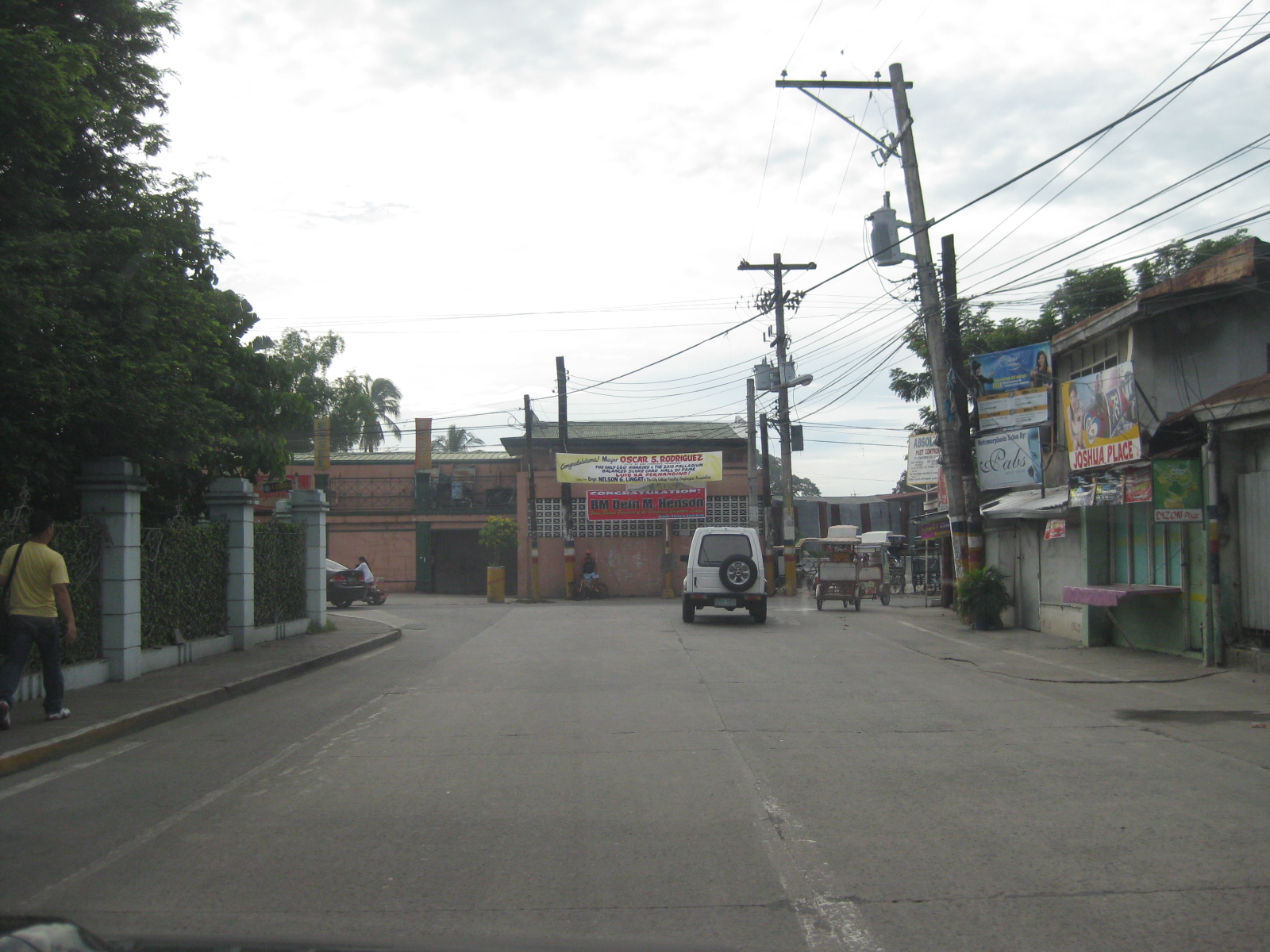 Junction – approach to the junction of Lazatin St., Consunji Street (left) and Sto. Nino Viejo Road (right). Again, there are no signs and pavement markings are already weathered.
 Old bridge – there is a short, old bridge just after the junction. The bridge is over a creek connecting to the main river and has 4 lamp posts that are similar to the main bridge along Gen. Hizon, and perhaps the inspiration for the lamp posts along Consunji Street.
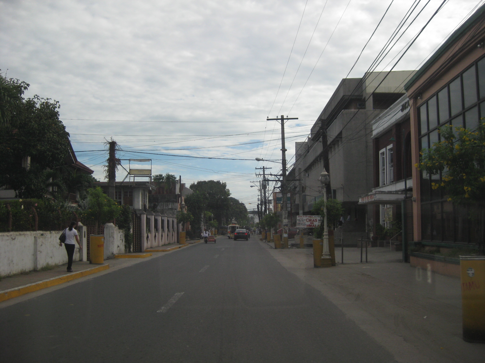 Consunji Street – is also a two-lane, one way street. Some sections have pedestrian facilities like the sidewalk on the left. The pavement markings were already weathered but still visible during the daytime. There are also less electric poles along this street and the lamp posts are appropriate in design.
 Heritage House – the structure on the left is an ancestral house, of which there are many in the province of Pampanga and especially around San Fernando, which is one of the oldest towns in the province.
 Recognition – the marker by the National Historical Institute recognizes the structure as a Heritage House. The smaller plaque provides a description of the house and those who lived or used it, highlighting its significance. There are other heritage houses as well as old houses that have not been given such a distinction (family not prominent enough?) but which deserve preservation.
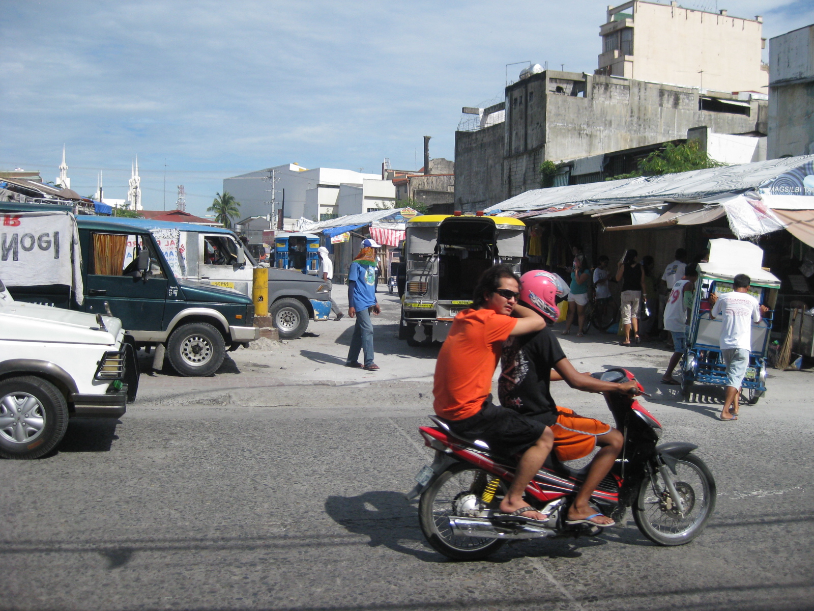 Future and present site – this lot was being used by jeepneys as their terminal at the time of our field work. The lot is bounded by Tiomico St. in the northwest and Consunji St. in the southeast, and is where the recently opened SM City San Fernando is situated.
 Approach from Consunji – there are no pavement markings (yellow box) defining the intersection and no signs to help in traffic control.
–
Circumferential Road 5 Extension
Among the issues raised during the Philippine presidential elections in 2010 was the persistent and widespread graft and corruption in government. Candidates had to present their platforms and emphasize how they were going to address graft and corruption in the various agencies in all branches of government (executive, legislative and judicial). The slogan of one candidate was “Sipag at Tiyaga,” which translated into “hard-working and persevering.” A play was made on this, transforming the slogan into “C5 at Taga,” referring to the road and an allusion to someone getting a cut (benefited) from the funds. The allusion, of course, was to the same candidate. Objectively speaking, however, the extension of the road made sense because C5 practically terminated at the South Luzon Expressway where a ramp connects it to the tollway. However, the project failed to construct a link (perhaps an overpass) connecting the extension to the existing alignment on the other side of the tollway. The following photos were taken during one recon survey conducted by our staff for another development project in the area.
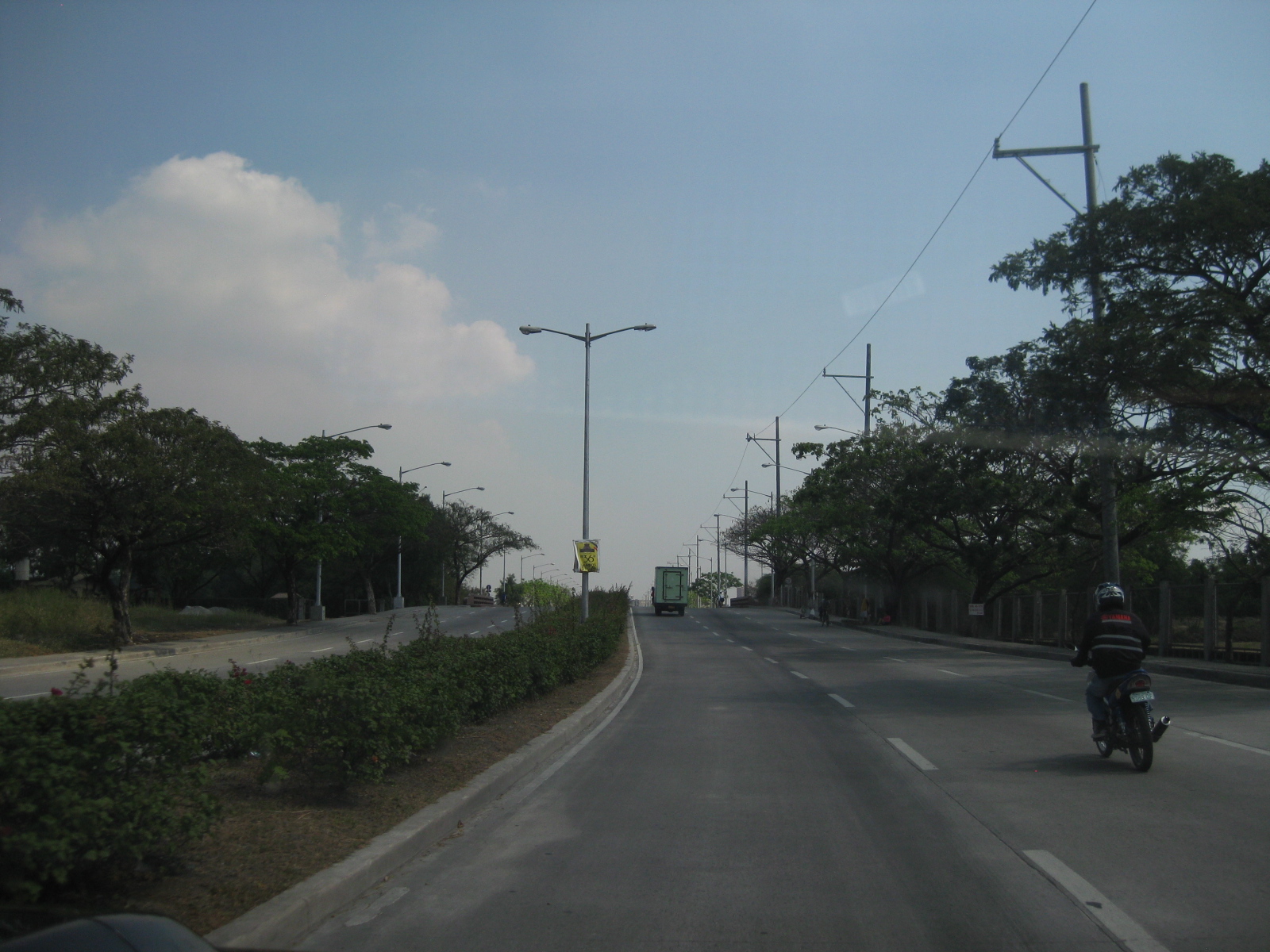 The C5 Extension is accessible from its southernmost end from the Coastal Expressway (aka CavitEx) or Aguinaldo Highway (from Bacoor, Cavite) and the Alabang-Zapote Road in Las Pinas. Lane widths and pavement markings follow DPWH standards and the road is apparently well-illuminated given the lamps installed along the highway.
 The road didn’t seem to follow any particular or deliberate alignment. The vacant lands on either side of C5 extension is allegedly owned by the real estate companies associated with Sen. Villar. However, at the time the photos were taken (early 2011) there were no major developments associated with these real estate companies in the area.
 There is generally light traffic along the road with few trucks. One can often observe many speeding vehicles including motorcycles. The pavement markings are already weathered despite the light traffic and is probably indicative of the quality of the material used.
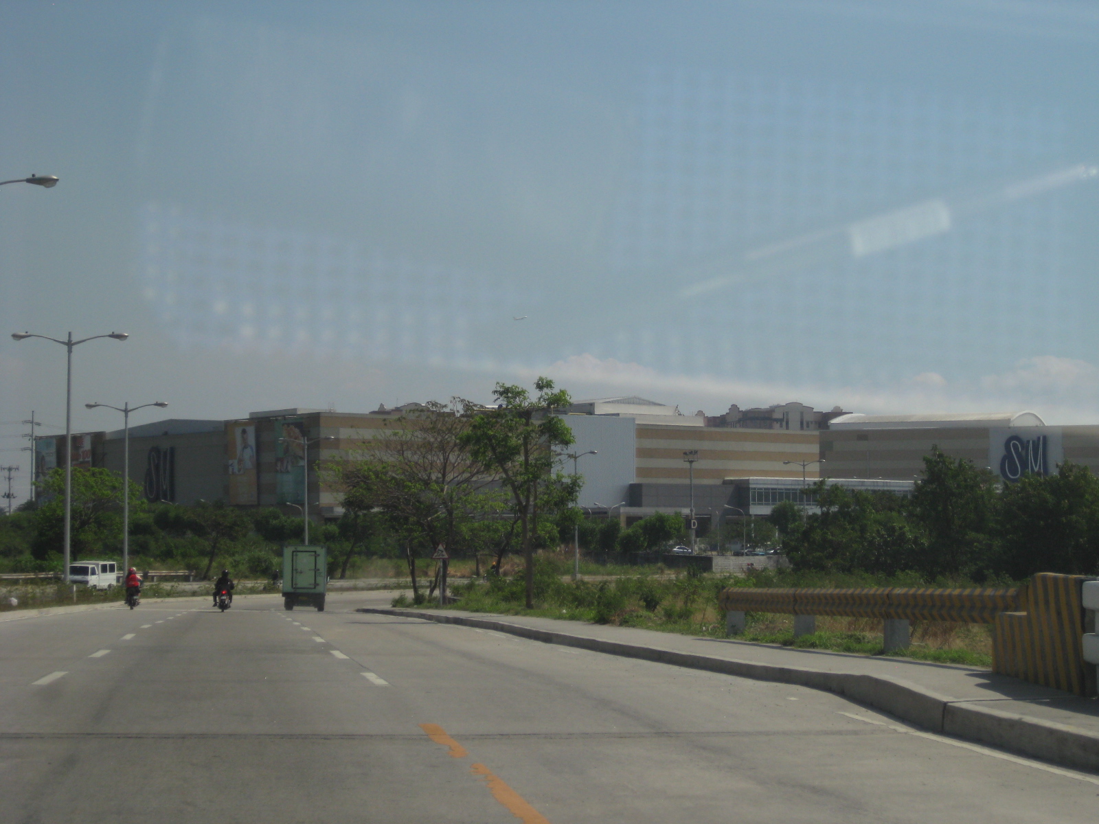 The road passes through a major shopping mall, SM Sucat, where the highway has a junction with Sucat Road.
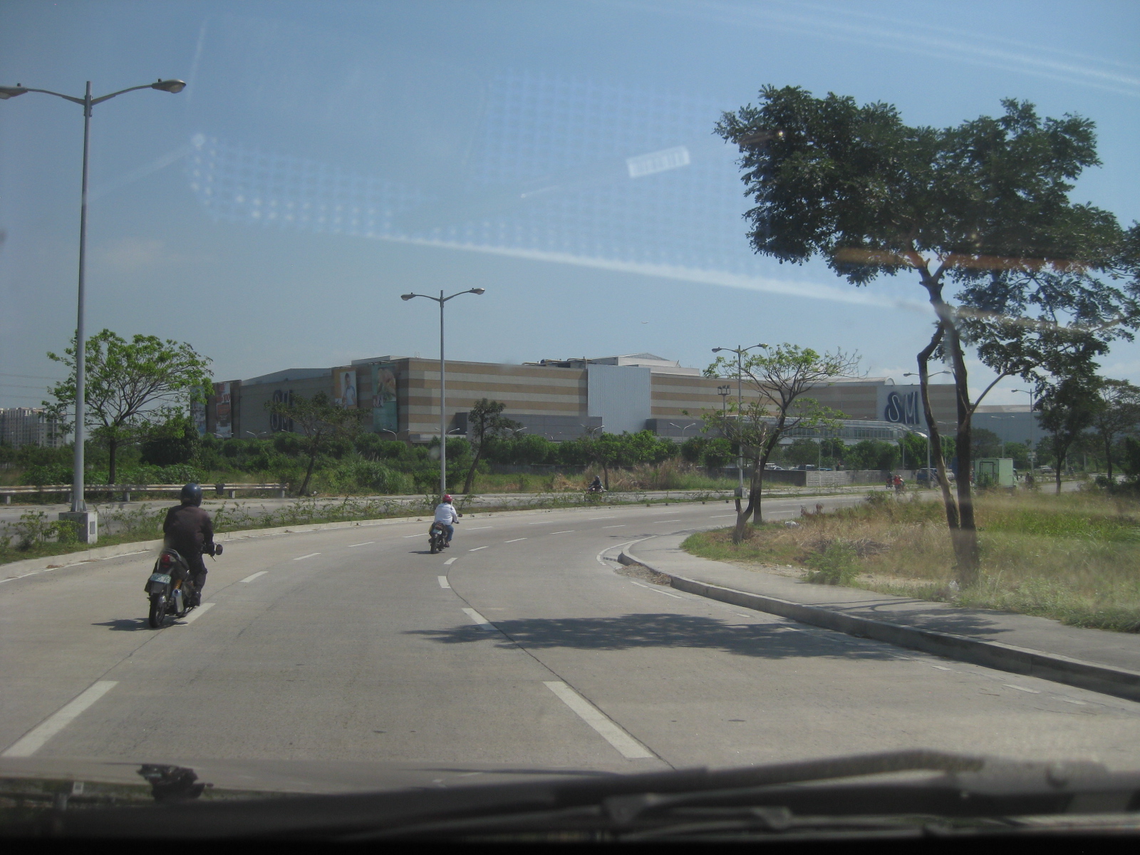 Curvatures along the highway alignment have been interpreted as accommodations for the owners of the lands along the road. Some experts say that such curvature, which can be clearly seen from maps such Google’s are unnecessary.
 There are 2 overpasses in this photo. One is a pedestrian overpass for the mall, which has two buildings on either side of the highway. Another is a vehicular overpass (flyover) at the highway’s intersection with Sucat Road. There are service roads on either side of the main alignment for vehicles traveling between C5 and Sucat Road. Visible in the photo (center) are residential condominium buildings of a major developer.
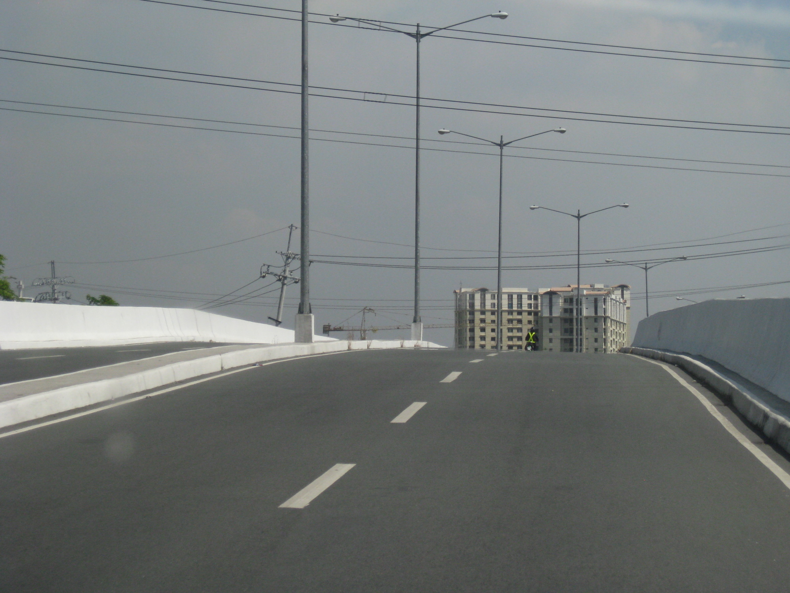 The vehicular overpass does not include pedestrian sidewalks or access. Such are actually necessary considering facilities like this flyover should not be for motorists only but for other travelers as well.
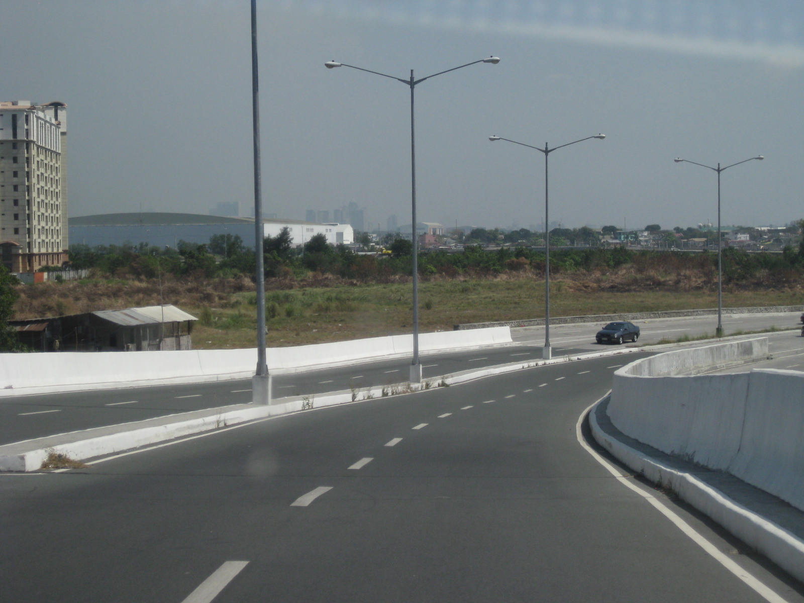 Seen from the northbound-side of the overpass is a wide area used by the El Shaddai religious group for their activities. These areas are usually seen by passengers of aircraft approaching NAIA from the east as these are along the flightpath to the main runway.
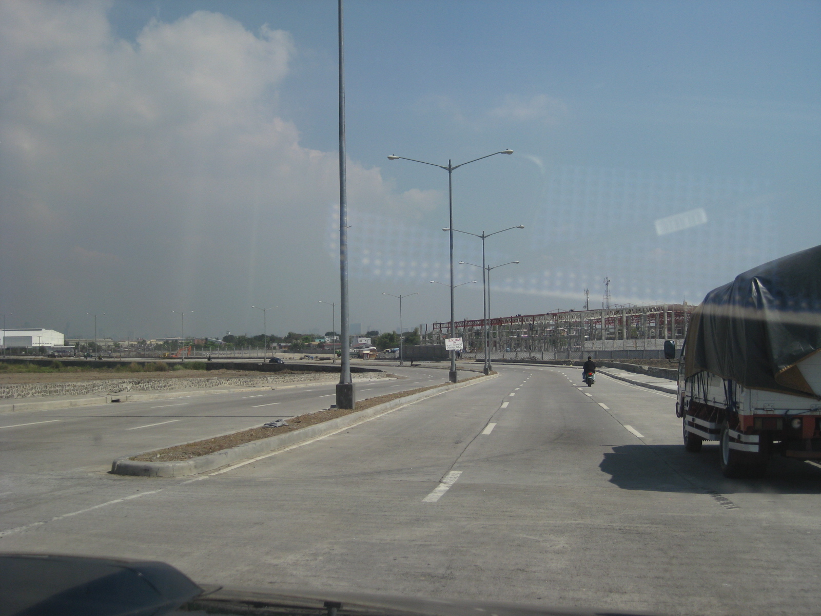 Section approaching an area where there are mostly warehouses and logistics facilities. This area is already very close to the NAIA complex.
 Among the logistics facilities in the area is mall giant SM’s warehouse facility. Note again the curvature along the highway alignment despite the fact that there are practically no developments in the area even after a significant time after the extension’s completion.
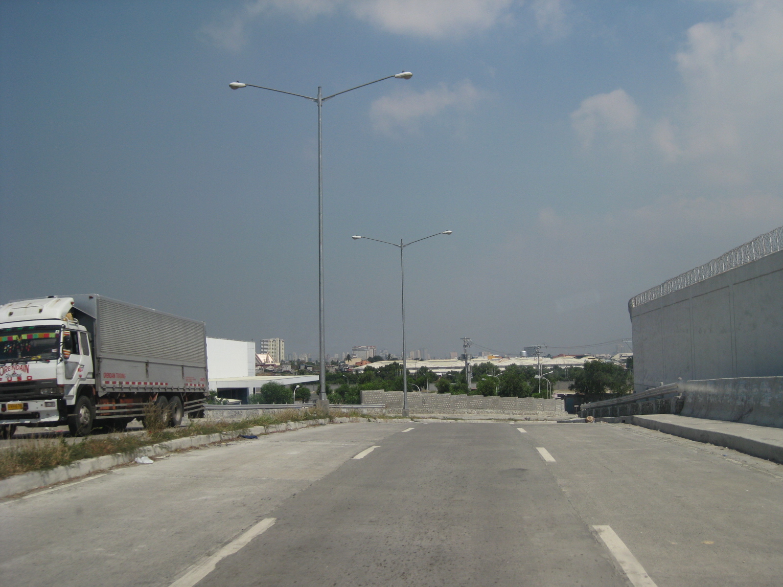 The highway eventually turns towards Kaingin Road and NAIA (also SLEX, which is at its northernmost end).
 The vehicles turning left are bound for the Airport Road via the road fronting the Multinational Village at the end of NAIA’s main runway. Straight ahead is the Kaingin Road that connects to the Moonwalk/Merville Access Roads that end at the West Service Road along SLEX.
 The C5 Extension’s other end starts from Kaingin Road, which is parallel to the NAIA main runway. The fence on the left is NAIA’s and there is no physical connection between the Extension and C5 across the SLEX.
–
On high density development along Katipunan
I saw the tarp below posted along Katipunan Avenue as we drove to UP one Saturday morning. There are actually two signs: one in front of Ateneo Gate 1 and the one below just after Ateneo Gate 2. Both speak out to the Quezon City Council for issuing an exemption to SM Development Corporation (SMDC), part of the SM group of shopping mall fame, for its high-rise condominium development near the corner of Aurora Boulevard and Katipunan Avenue (C5). The development, known as Blue Residences, will not only have residential units but commercial establishments as well. By the name of the project, it is obviously a play on the nearby Ateneo De Manila University, which has blue for its standard color (e.g., Blue Eagles). [Note: For whatever its worth, there is also a Green Residences being developed by SMDC near De La Salle University, which adopts green as its banner color – e.g., Green Archers.]

The questions going in my mind after seeing the signs include the following:
1) Isn’t it too late for this, a campaign against a development that is already under construction and months after a decision has been made to approve the project?
2) What is Ateneo’s and its allies success rate for such? [The high density developments just across the university seem to be concrete evidence and reminders of such actions falling on deaf ears.]
3) Given this seemingly renewed (not new-found, I hope) interest in urban development in the area, wouldn’t it make more sense to also campaign against another development, this time by another real estate giant in Camella/Vista Land that already has set up shop across Ateneo?
4) And, as a follow-up perhaps, has that strip along Katipunan already been ceded to high density development and Ateneo and its allies have already conceded that a long time ago? [There’s SMDC’s Berkeley Residences, Prince David, Burgundy, etc.]
A colleague put forward an opinion that such developments are actually beneficial to Ateneo and its allies. In fact, many of the residents of the high rise condominiums in Katipunan have children studying at Ateneo and Miriam, their addresses being conveniently located minutes away from school. In other cases, units are rented by university students who similarly take advantage of the building’s proximity to their schools. I wouldn’t be surprised if enterprising people have purchased units not for them to reside in but to rent/lease out to students or other wishing to live near the universities or the nearby LRT 2 station (Katipunan Station).
From the traffic perspective, such developments definitely require full-blown transport or traffic impact studies due primarily to their trip generation characteristics. Such studies should clearly show how to address potential transport and traffic problems including who will be responsible (hint: the proponent should not pass on responsibility to the MMDA or local traffic enforcement) for traffic management. I reproduce below excerpts from a report submitted by a stakeholder community in opposition to a proposed high-rise, high density mixed-use (commercial, office, hotel and residential) development at the corner of EDSA and Ortigas Ave. where a huge excavation is still present and can be clearly seen when riding a Makati-bound MRT train:
“The EIS Report failed to consider the traffic impact once the project starts to operate hence necessary measures were likewise not discussed. Many projects will, at first glance, give an impression that a traffic impact study would not be required. The Skycity development, however, immediately gives the layman an impression that it would indeed have a significant and long-term impact on traffic in its direct vicinity. While its influence area can only be clarified via a thorough study of the characteristics of the development, the description and hype alone by the project proponents give us an idea that Skycity will impact people from as far as Rizal province.
In the process of attaining these objectives, this paper will identify the deficiencies and weaknesses pertaining to transportation and traffic and establish the need for detailed traffic studies, specifically the requirement of a Traffic Impact Study (TIS). The TIS will entail traffic impact analysis (TIA) to satisfy the questions or concerns regarding the traffic generated/attracted by the Skycity project and the consequent problems that will be caused by the project from its construction to eventual operation.
A traffic impact assessment (TIA) would be imperative, if truly the effects of the development would be quantified. The TIA would be able to answer the following questions, among others that would crop up in the minds of stakeholders:
- What are the transportation improvements needed to serve the traffic generated by the new development?
- How much will the improvement cost be and who will pay for them?
- Will the new project impact traffic on any existing residential streets and how will those impacts be mitigated?
- Will the new development aggravate any existing safety hazards or create new ones and, if so, how can those hazards be corrected?
- Can the proposed development be served by public transportation and does the design encourage ridesharing?
- Is the design of the development friendly towards bicyclists and pedestrians who need to access the development or who need to pass through or by the development?
- Is the on-site parking sufficient or is there an opportunity to share parking with other adjacent uses?
- How many driveways are needed, what design should each driveway have and is there a long enough throat for each driveway that is clear of parking spaces and other cross aisle traffic?
- If any driveway is proposed to be signalized, is the traffic signal really needed and can on-site circulation handle the traffic that will be queuing to wait for a green light? (
Conduct of TIA will deal with deficiencies in traffic analysis as well as provide a platform for a package of measures to deal with issues: what measures? who will pay? what level of development? Until then, it’s not possible to concretely evaluate the EIS.
Concerning traffic, the GEA letter raised the following points:
- That traffic congestion at EDSA-Ortigas intersection is already a nightmare even without the Skycity on that particular corner;
- That the traffic congestion problem can be attested by key agencies such as the Mandaluyong City Mayor’s Office, the MMDA Traffic Management Group, the Barangay 27 Wack Wack Greenhills East and the nearby DOTC, all of which are helpless in providing solution to the problem;
- That the already grave traffic congestion will even worsen due to obstructions and additional traffic during construction and operation of Skycity;
- That Ortigas Avenue is too narrow to accommodate the high volume of traffic; and
- That provision of several parking floors as presented in the EIS cannot be a solution.
“Manpower requirement will be high during the operations phase. It is estimated that about 12,000 persons will be required to for the operations and maintenance of the Skycity Project. These would include the general administration, manpower for the utilities and security, and employees for the hotel. Man power for the commercial, office establishments and other development use of the project will add a few thousand more jobs.”
The above quotation is from a report submitted as part of the response of stakeholders that scrutinized the Environmental Impact Assessment (EIA) report submitted by the proponents of the project to the DENR-EMB. The latter was presented at a stakeholder conference held as a prerequisite to the approval of the project (i.e., prior to granting an ECC). There are other aspects of the project including drainage, water supply, structure, foundation, environmental, etc. that were discussed with proponents and stakeholders arguing about the pros and cons of the project. However, the most important element here is timing since the discussions occurred prior to the granting of an ECC to the project and after the stakeholders have presented their case before the DENR-EMB’s EIA Review Committee assigned to the project. I am not aware of how SM Blue went about securing the approval for their project including the ECC and if the process was followed according to the guidelines. I am also not aware of whether there was a stakeholder conference held and if Ateneo and its allies were invited and participated in that meeting. Was this organized by the EIA RevCom or was this hosted by the QC Council (because of the zoning issue)? Such matters are important since it would help in establishing whether certain people are at fault and whether certain processes and requirements were indeed followed with regards to the project being questioned.
–
Traffic going bananas
I’ve written about land use and parking along Katipunan Avenue, which is part of Metro Manila’s Circumferential Road 5. Katipunan extends southwards to Blue Ridge, St. Ignatius and White Plains (the latter subdivisions just across the street from Camp Aguinaldo) where there are also many establishments along either side of the road. Most of these establishments are restaurants that attract significant private vehicle traffic. Note that there are no public transport routes along Katipunan/C5 in the Blue Ridge, St. Ignatius and White Plains areas. As such, establishments are more likely to attract people with cars rather than those taking public utility vehicles.
Many of these establishments are on lots formerly occupied by residential buildings (i.e., houses) considering the predominant land use in the areas. These were eventually purchased and converted for commercial use, resulting in layouts that generally do not include adequate parking spaces. The consequence of shortcomings in parking have been the propensity for on-street parking such as shown in the following photo in the Blue Ridge area.
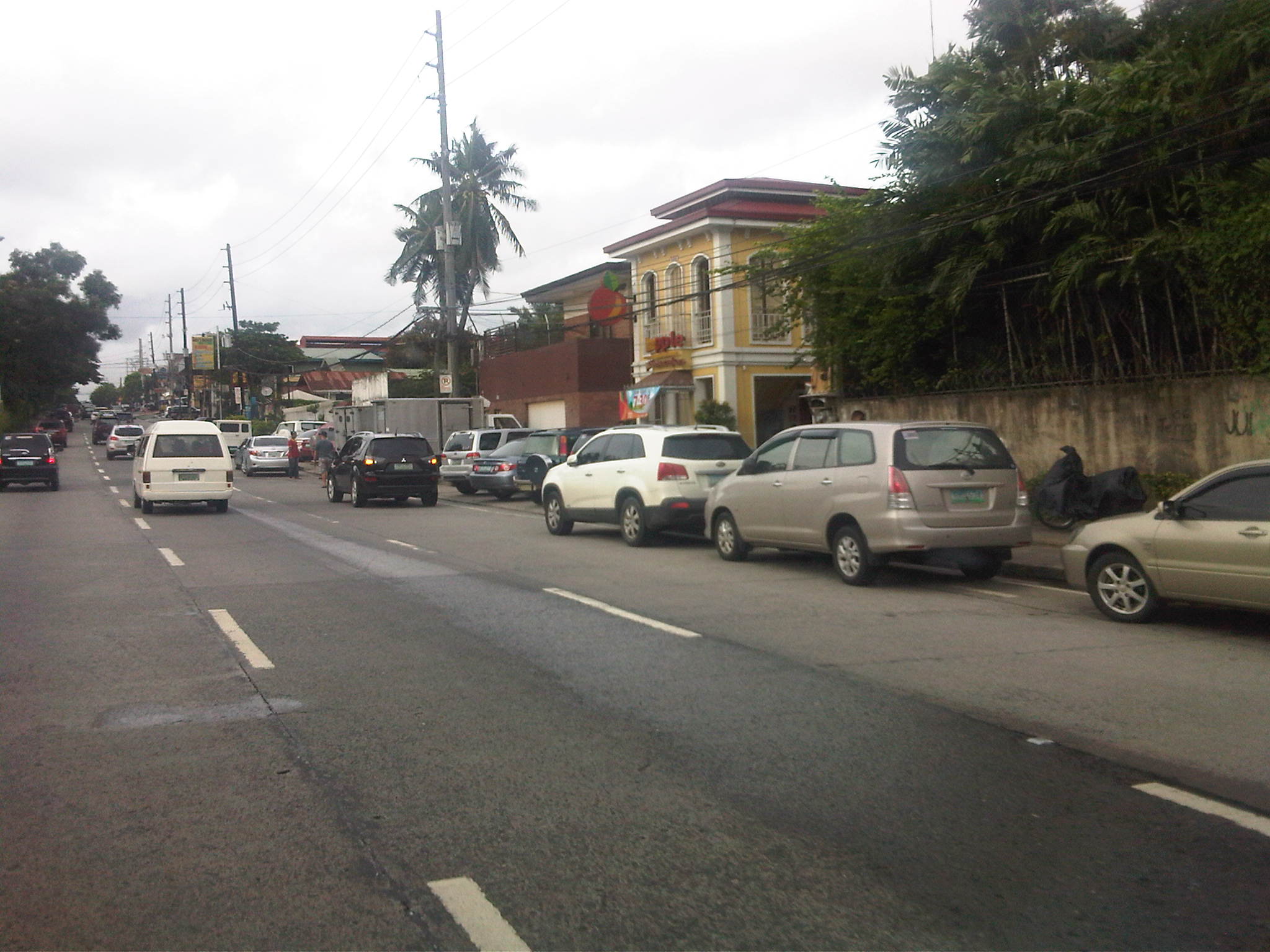 On-street parking for a popular restaurant/cafe along Katipunan/C5 at Blue Ridge.
Such case and many others like it along Katipunan (and other Metro Manila or Philippine cities roads) are the result of both poor planning and lax enforcement of traffic rules and regulations in this country. Being a primary arterial, Katipunan/C5 should be clear of such unnecessary sources of roadside friction that effectively decreases road capacities while also increasing the risk of crashes as vehicles maneuver, or in some cases wrestle, for parking spaces.
Katipunan parking predicament
Developments along Katipunan Avenue in Quezon City are good examples of fragmented land use and transport planning in Philippine cities. The developments, particularly the high rise condominiums have been the subject of much opposition from residents of subdivisions in the area as well as two major institutions of higher learning that have defined the stretch of Katipunan that has been developed in the 15 years. I mention 15 years because this is the period during which most of the high density developments along Katipunan have been constructed, apparently with the blessings of city hall. It is also in the last decade that schemes such as road widening and the U-turns were implemented.
On-street parking along Katipunan at lanes that used to be part of what was a west service road. In many cases, onstreet parking has been the result of a violation of a very basic provision of the National Building Code, which prescribes the minimum number of parking slots for establishments such as restaurants, shops, banks and offices. Despite being quite outdated and disconnected with more progressive parking generation principles, the NBC should have been a basis for the local government to assess whether minimum guidelines are satisfied, and perhaps impose penalties on those who are not able to comply such provisions. This is a fundamental case where individuals (owners of parked vehicles) impose external costs (e.g., congestion and crash risk) upon the general public.
Another look at onstreet parking just beneath the pedestrian overpass across from Ateneo’s Gate 2 – restaurants along Katipunan are major traffic generators and despite the presence of public transport (jeepneys and tricycles) a significant number of trips generated by these establishments use private vehicles including cars, vans and SUVs. Katipunan’s pedestrian facilities are inadequate as there are practically no sidewalks, thereby forcing people to walk along the road. This exposes many and particulrly students to risks like getting sideswiped by vehicles driven by reckless drivers.
Waiting vehicles effectively occupying 2 lanes of Katipunan – many employ drivers who can stay with the vehicles while the occupants eat, shop or transact at establishments. In most cases, standing vehicles are practically parked vehicles as they occupy road space. High-rise residential condominiums along Katipunan may have complied with minimum parking requirements stipulated in the NBC but their trip generation characteristics considering the commercial establishments located at the same buildings surely require many more parking spaces than what are available.

Congestion along Katipunan’s southbound side – may be caused by onstreet parking, standing (waiting), or vehicle maneuvers with respect to the limited parking slots fronting most establishments along the road. One tutorial center located near a U-turn slot, for example, generates significant vehicle traffic that it affects both U-turn and through traffic. Meanwhile, traffic enforcers seem either ineffective or helpless in their efforts to manage traffic, including preventing vehicles from taking 2 lanes of Katipunan.

Standing/waiting vehicles in front of a new development along Katipunan – the new building hosts several establishments including a major bank, a book shop, a popular gym, and several restaurants or cafes. Despite the potential for vehicle attraction, only a few parking spaces were provided, leaving all other vehicles and their drivers on their own to find parking spaces or just occupy road space in front of the building. The footbridge across Ateneo’s Gate 3 has been extended to the building but this obviously has marginal impact in reducing vehicle generation and parking demand.

Another photo showing the parking situation in front of the new building – while traffic is generally a manifestation of economic activity, one opinion is that many developers are irresponsible by designing buildings that have inadequate parking and resulting in the general public bearing the burden of traffic externalities. Add to this local governments that turn a blind eye on such discrepancies in design (who reviewed the design that obviously violated the building code?) only to be on the receiving end of complaints. In some cases, LGUs probably will be forced to shoulder costs of providing solutions that developers should have covered in the first place if they were responsible enough or made responsible for mitigating negative impacts of their projects.
In the end, it is inevitable that we need to address the root of the problem, which pertains to land use planning and the zoning policies LGUs are implementing. Consistency is one thing and being circumspect about established guidelines is another. Sustainable development, after all, does not pertain to continuous transformation from low to high density development but more about balancing elements that would preserve the character of neighborhoods and communities, particularly and most importantly to ensure that quality of life is not compromised.
Still on Katipunan
Katipunan is again the subject of attention thanks to the Sunday newspaper article by Prof. Randy David in his column at the Inquirer. The problem is not really new and I have been familiar with the congestion and its derivatives from the time I first studied in UP Diliman in 1988 and up to now when I continue to pass through the avenue between home and workplace.
I was able to dig up a 2003 study on Katipunan conducted by the National Center for Transportation Studies (NCTS) of UP for a consortium chaired by then DENR Secretary Bebet Gozun. The study was the group’s response to the MMDA’s effort to install their U-turn scheme along Katipunan, encouraged at the time by the scheme’s apparent success along Commonwealth and EDSA while not acknowledging the problems experienced along Quezon Avenue. The photos below were taken during the time when the study was being undertaken and are very much the same picture of Katipunan today during the peak periods.
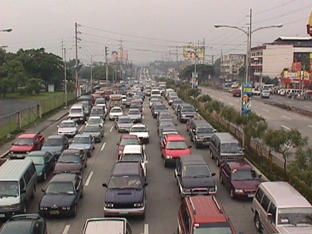 Figure 1: Morning traffic congestion in 2003 along the northbound direction of Katipunan Avenue in front of the Ateneo De Manila University (notice that there was no U-turn slot near Gate 2 at the time)
 Figure 2: Ateneo-bound vehicles blocking through traffic along the service road and the Aurora flyover
The study involved contributions from most if not all stakeholders including Ateneo and Miriam, the private sector and civil society groups, the Transportation Science Society of the Philippines (TSSP), and some government agencies particularly the DENR, who convened the group to formulate an alternative to the MMDA’s initiative that was personally being pushed by its then Chair Bayani Fernando. I reproduce below, word for word, the conclusions and recommendations from that 2003 study:
{Conclusion}
“After a thorough evaluation of the traffic problems along Katipunan as well as the solicited and unsolicited solutions from stakeholders, it becomes clear that the answer to the Katipunan traffic question is not the introduction of the U-turn scheme into the system. Indeed, while the U-turn scheme has met with relative success along major thoroughfares including Marcos Highway and Commonwealth Avenue, it has also contributed if not created congestion along Quezon Avenue. The notion that “success in EDSA and Commonwealth means there is no reason why the scheme won’t work in Katipunan” would not hold water in the light of the requirements for effective implementation of U-turns. Simply said, the traffic volume along Katipunan during the peak periods alone will assure that the U-turn scheme will cause more congestion rather than mitigate it.
{Recommendations}
- Optimization of traffic signals – coordination of signals need to be implemented particularly for the intersection pairs identified in this report. The Traffic Engineering Center (TEC) must be consulted with respect to the operation of the traffic signals along Katipunan.
- Restriction of roadside parking – parking restrictions must be strictly enforced and establishments along Katipunan should adhere to the required parking slots corresponding to the traffic they generate.
- Removal of parts of the islands to improve flow – geometric improvements to ease flow (i.e., increase road capacity) may be explored. Note that this report is not entirely opposed to removal of parts of the islands. However, their outright removal with the trees for the sole purpose of the U-turn scheme is not acceptable to most stakeholders. This must be carefully evaluated.
- Construction of an internal road between Ateneo and Miriam – the internal road will allow common vehicles to circulate within the campuses thereby eliminating traffic that would otherwise make several entries and exits to the campuses via Katipunan.
- Open additional gate at Ateneo – the possibility of opening another gate at Ateneo between the existing Gates 2 and 3 must be explored.
- Encourage carpooling or car-sharing – it is strongly recommended that Ateneo and Miriam consider carpooling or car-sharing schemes. It has been found that traffic along Katipunan is primarily composed of private vehicles will low occupancies bound for the two schools. While the surveys showed high return rates from grade school and high school students, very low returns came from college students. It is these people who account for a majority of the vehicles that clog Katipunan and they should take part in the formulation and implementation of such schemes that would lead to a significant improvement to traffic along Katipunan.
- Strict implementation of the zoning laws – this last recommendation points to the inconsistency in the granting of building permits to developers of high-rise condominiums along Katipunan. This is a constant issue and a controversial one since residents in the area and the two major schools (Ateneo and Miriam) have always opposed the “spot zoning” practice along Katipunan.” (NCTS, Study on the Traffic Management of Katipunan Avenue, 2003)
The study recommended alternative solutions in lieu of the U-turn scheme for Katipunan Avenue that was at the time being pushed by the MMDA as the solution for traffic congestion in the area. The recommended measures considered different aspects: traffic management per se, geometric improvements or road construction, travel demand management, land use, and other measures. However, it seems that 8 years after there has been practically no change in conditions along Katipunan Avenue.
The support and commitments of the different stakeholders (academic institutions, residents, business establishments, professional organizations, government agencies, and concerned citizens) are essential for the successful implementation of the recommendations contained herein. It is only through a strong partnership that sustainable and long-term solutions to the traffic problems in Katipunan Avenue can be achieved.
However, it is realized that there should be some sacrifices involved including a dramatic or drastic change in the travel behavior of those mainly responsible for the congestion. The vehicle trip generation of both Ateneo and Miriam are the roots of the problem and their continuing resistance to proposed solutions while not offering any viable countermeasures or proposals will only serve to perpetuate congestion in the area even as the external costs associated with the traffic they generate spread to a larger area. Recent studies at the UP Diliman, which is an open campus, has shown that private vehicle through traffic (i.e., traffic that has nothing to do with UP) has also grown and most of these are Ateneo and Miriam-bound trips.
It seems awkward and even confusing to see that 8 years after what was perhaps the last (maybe even the first?) serious look into Katipunan traffic, conditions have only worsened. This is due to additional developments in the area including high density residential projects that also tend to generate a lot of traffic, and commercial establishments that do not provide sufficient parking spaces. But although these contribute to congestion, their vehicle generation pale in comparison to that of the schools in the area. This is perhaps a case where one is able to see the flaws of others and yet refuses to look in the mirror to see for oneself something that needs critical attention.