
Home » Railways (Page 7)
Category Archives: Railways
Lessons to be learned from experiences on public transport abroad
There’s this “old” article that came out last year that is very much relevant as it is timeless for its topic. The title is intriguing as the many if not most US cities are known to be car-dependent. Few have good public transportation in terms of the efficiencies or qualities we see in Singapore, Hong Kong, Seoul or Tokyo (just to mention Asian examples). Clearly, quality of service is the main reason why people are apprehensive about using public transportation. In fact, the attraction of ride shares, for example, are precisely because people want to have what they perceive as safe, comfortable and convenient modes of transport for their regular commutes. Only, for many people, their choice is also limited by the affordability of such modes of transport. Perhaps the same is applicable if you extend the discussion to include active transport. Cities and municipalities would need to provide the right infrastructure and environment for people to opt out of cars, take public transport, walk or cycle.
English, J. (2018) Why did America give up on mass transit? , http://www.medium.com/citylab, https://medium.com/citylab/why-did-america-give-up-on-mass-transit-dont-blame-cars-d637536e9a95 [Last accessed: 08 March 2019]
–
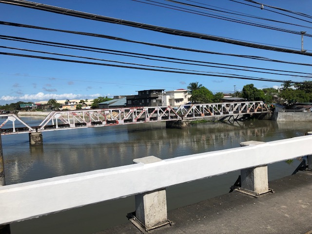
Railway bridges along the PNR Main Line South
This is a continuation of the series of posts about my recent trip to Bicol where I was able to take some photos for items I generally label. These stock of photos are posted here for several reasons including convenience of access in case I need them for lectures or other presentations. Previously, I had posted on vertical curves along the Andaya Highway. This time around are some photos I took of railway bridges along the PNR’s Main Line South and particularly in Camarines Sur. It was quite challenging to look for or anticipate seeing these structures; many of which are quite old and in a state needing urgent maintenance. Most if not all are steel truss bridges and the ones in better conditions are shown in the following photos. All were taken within the Naga City boundaries.


–
What happens now to the DOST’s AGTs?
The Automated Guideway Transit (AGT) vehicles that were used in the research and proof of concept at the previous test site in UP Diliman are scheduled to be transported back to DOST’s MIRDC soon. The vehicles are still in UP Diliman and are usable for R&D if someone decides to come up with a viable proposal for these. Unlike the hybrid electric train that is the AGT’s contemporary in terms of them being parallel projects, the future is unclear for both AGT models (i.e., there is another, higher capacity AGT already at MIRDC and tested using the test tracks there).
 The two AGT vehicles are wrapped to protect them from the elements. These are functional and should still have value in case someone proposed to continue in their testing and refinement. It doesn’t need to be an elevated guideway for development to continue.
 Here’s a closer look a colleague managed to take before we turned at the intersection.
What’s next for the AGT? Is there a future for these vehicles? Will the DOST initiate something with the DOTr or maybe with an LGU (Taguig?) to come up with a project that will employ these vehicles in what can be a full system instead of one on test tracks? Let’s hope these assets can still be utilised and not be wasted.
–
Some snapshots of the PNR ROW along the way to Bicol
I promised to post about my trip and here are a few photos I took of the PNR’s right of way (ROW) showing the railways crossing with the Pan Philippine Highway (Asian Highway 26 or AH 26) at many points.
 After traveling in the early hours of the morning, we finally got a good glimpse of the PNR’s south line that basically runs parallel to the national highway.
 The single track line will actually go underneath the bridge downstream from where this photo was taken. I just couldn’t get a clear shot from our vehicle. I hope to get one on the way back.
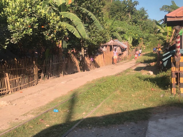 Railway tracks are currently used as access to communities with dirt roads often running just beside the tracks.
 Railway tracks leading to what looks like an area that still has a lot of vegetation. Note, too, what looks like check rails in the photo.
 Railroad crossing signs along the highway – the standard one is obvious in the photo
 Much of the PNR’s ROW has encroachments making it unsafe for modern railway operations.
 An obviously unused (dormant?) part of the line in Quezon
The government plans to upgrade or rehabilitate the PNR’s Main Line South with the help of funding (and technical assistance?) from China. A colleague opined that maybe since the north line rehab is to be undertaken with the help of the Japanese, then perhaps the south should similarly be rehabbed with the help of Japan. That should ensure the same quality and standards will be applied throughout the system. What do you think?
More photos and stories soon!
–
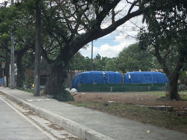
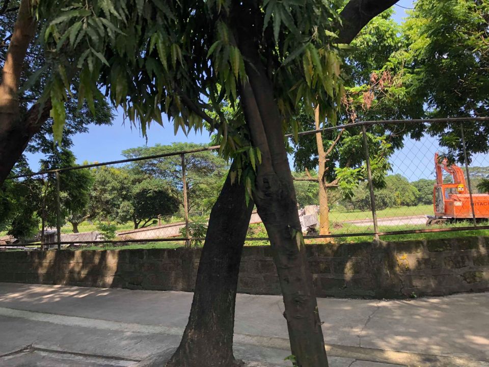
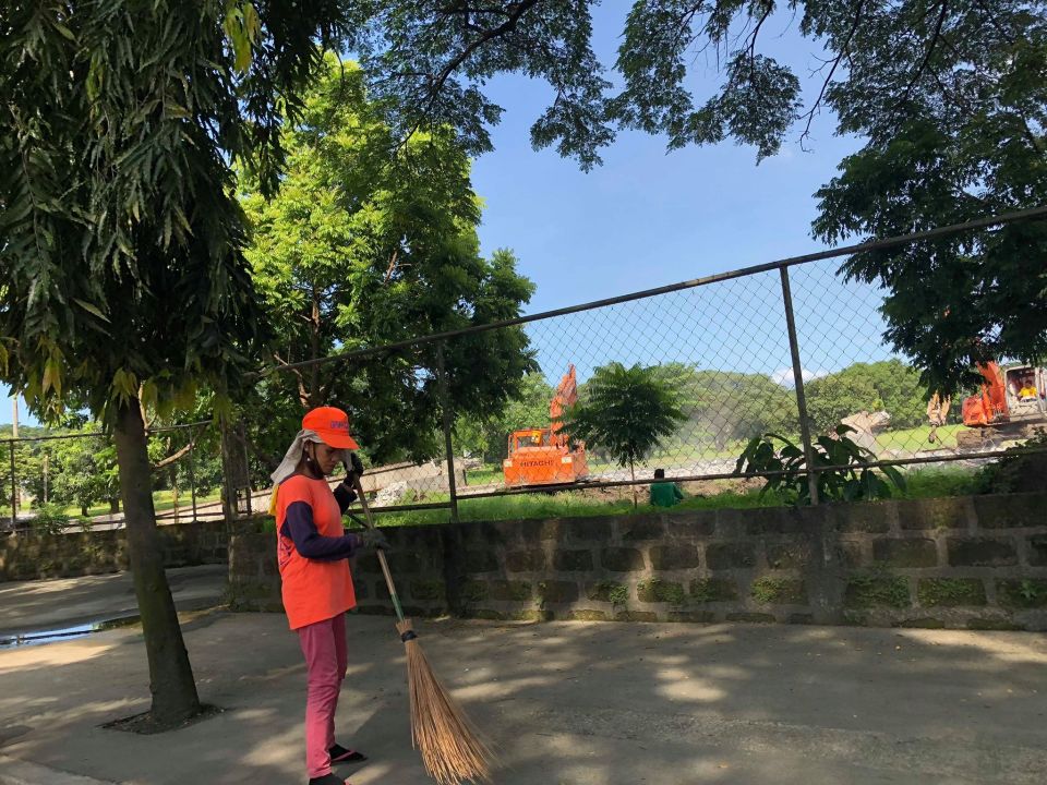
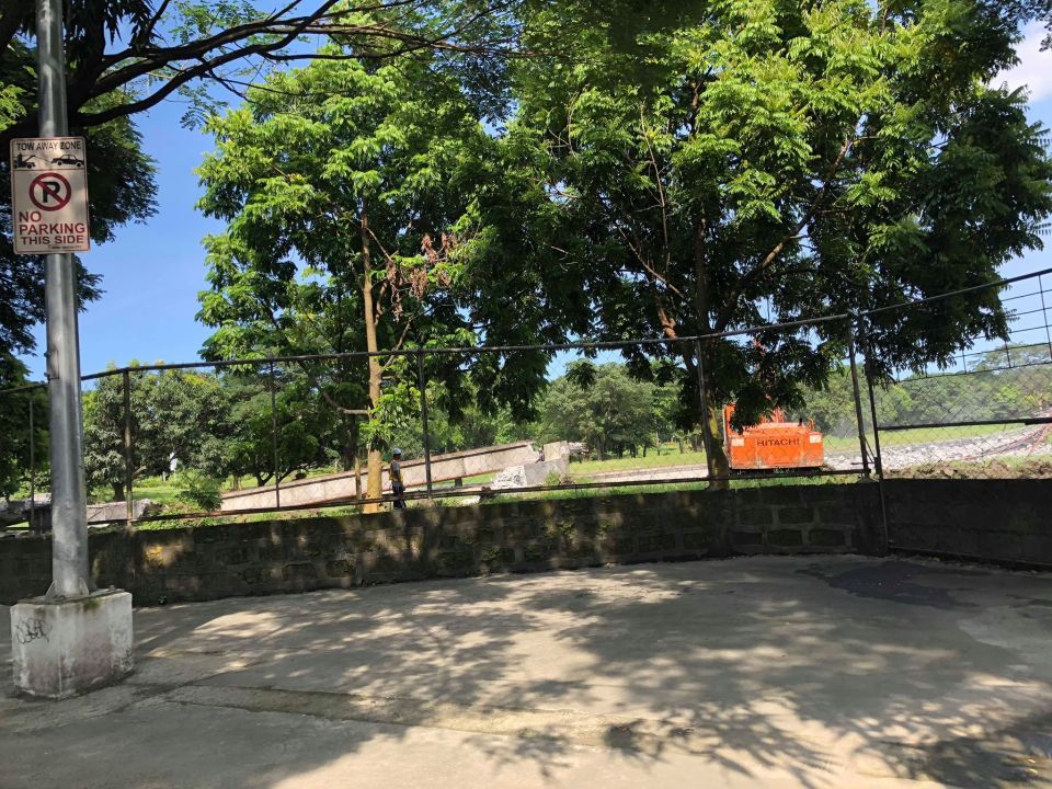
The AGT test site at UP Diliman is no more
This is actually a late post considering what has transpired last year that led to the demolition of the AGT test facilities at the University of the Philippines Diliman campus. For one, UP (or at least Diliman) didn’t want it. That was to be expected as Diliman’s Executive Council comprised of the constituent university’s deans and executive staff (Chancellor and Vice Chancellors) already stated that they don’t want an AGT in the campus many years ago and during the last administration when the main proponent, then DOST Secretary Montejo, was still very much in-charge of that department. Here are photos taken by a colleague last year showing the demolition work on the elevated guideway and stations. These were taken as they traveled along C.P. Garcia Avenue towards the University Avenue.
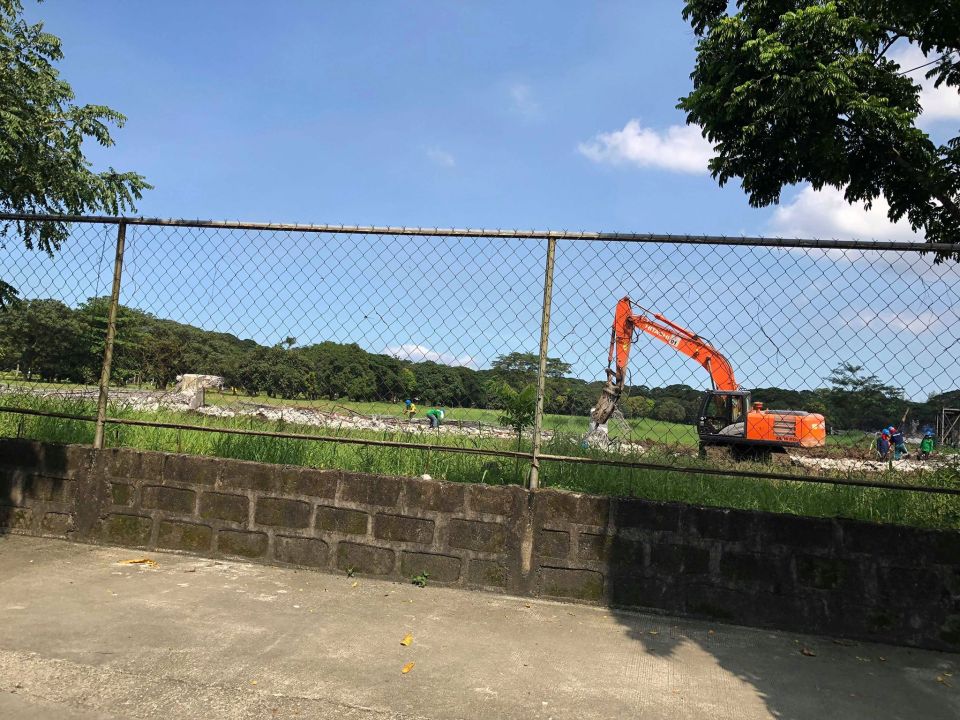
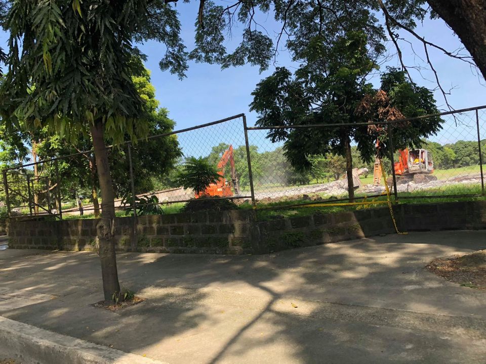
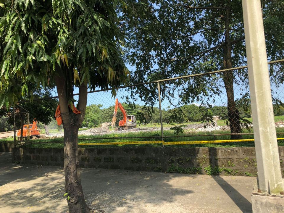
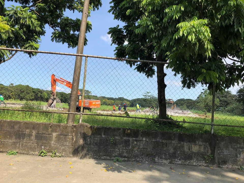
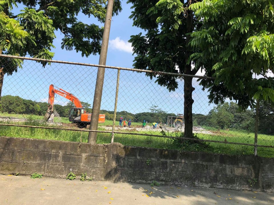
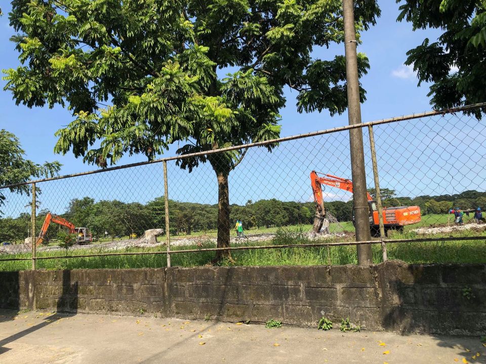
The demo was completed late last year and the AGT vehicle has been transferred to the MIRDC compound in Bicutan. The two prototypes are now there and there is an uncertainty about their futures. One colleague recalled “if only they had listened and had the AGT tested the proper way”. He was referring to the proposal to have an independent evaluation of the vehicle in order to ensure that its technical specifications and capabilities were up to international standards. The AGT proponents didn’t agree and proceeded according to what they wanted despite what we heard was a similar recommendation from then DOTC officials to have the vehicle certified as safe for public use.
I am happy to know that at least one project from that ambitious program during the last administration will finally be operational. A different approach seems to have been undertaken for the hybrid train that was produced for the PNR. Recent news stated that the train has undergone a series of tests and needs to hurdle a few more before going into operation along the PNR’s commuter line. Hopefully, it succeeds and encourage production of more like it and lead to an evolution of Philippine-made trains.
–
Progress of Line 2 Extension station construction
This is another one of those quick posts. Here are a couple of photos showing the progress of the construction of the stations of the Line 2 Extension:
 The Masinag Station under construction as viewed from the westbound side of Marcos Highway. That’s SM City Masinag on the right. The structure is very visible as you descend Sumulong Highway near the Valley Golf gate.
 Here is a blurry shot of the Emerald Station as viewed from the eastbound side of Marcos Highway. That’s Robinsons Metro East on the right side.
While the stations’ construction seem underway, a colleague pointed out that there seems to be nothing going on with the rest of the system including the electrical and the tracks for the extension from Santolan to Masinag. This is along my daily commute and I also haven’t seen anyone working on the tracks. Perhaps it hasn’t been bid out or there’s a timetable for this somewhere?
–
A quick update on the Line 2 Emerald Station construction
Here are a couple of photos of Line 2’s Emerald Station, which is under construction. There’s significant progress in the construction but this will definitely take months to complete along with the Masinag Station, which is in a similar state of progress in construction.
 Here is what the Emerald Station, which is just across from Robinsons Metro East and Sta. Lucia Mall, looks like. It’s still far from being completed but you can already see what seems to be an area underneath the tracks where people can cross from one side to the other. Stairs have been constructed to connect what could be a station concourse to the street level. The building under construction to the right in the photo is Sta. Lucia’s. From the looks of it, this will be an office building, likely to host a BPO office. We hope that the station will have direct connections with the two malls as well as this office.
 Right after the station is the intersection of Marcos Highway with Felix Avenue and Gil Fernando Avenue where there is still pedestrian overpass that allows people to cross the wide roads safely. There are only rare instances when people attempt to cross at street level here but there were some security concerns as there was a spate of snatching incidents on the overpass. Cainta authorities seem to have addressed this despite some border issues with Marikina and the former has posted policemen to deter crime on the overpass.
The last image connects to the first one in the sense that there should be a connectivity for the existing pedestrian infrastructure (i.e., overpass and sidewalks) with the future Emerald Station. This connectivity would be in the form of suitably designed walkways that can and should include provisions for cyclists, too. Perhaps the two malls can pitch in to make these designs a reality and not just be content with token steel structures like what are usually constructed elsewhere and at the junction near the station. There is a good opportunity here to come up with good design that can become a good example for replication.
–
On EDSA transport and traffic, again
There’s a recent decision by the Metro Manila Council (MMC) comprised of the mayors of the cities and municipality of Metro Manila and chaired by the Metro Manila Development Authority (MMDA) Chair that vehicles bearing only one passenger (the driver) will be banned from travelling along EDSA. The problem with this is that by banning cars with one passenger from EDSA, you only succeed in making other roads like C5 more congested. It’s a simple case of transferring traffic and worsening it elsewhere since you’re not doing anything to alleviate congestion along those roads. Did MMDA run this and other scenarios using analytical or simulation tools at their disposal? If so, can these be shown and used to explain the soundness of this policy approved by the MMC? I suspect they didn’t and likely depended more on gut feel based on the data they have including what is often reported as 70% of vehicles traveling along EDSA having only one passenger. Meanwhile, the state of mass transit along EDSA still sucks.
 A very crowded Boni Avenue Station platform (photo courtesy of Mr. Raul Vibal)
Of course, the pronouncement from the MMDA launched quite a lot of memes on social media. Some people shared the typical quotes on planning (you know, like the ones about planning for people vs. planning for cars). Some offered their own ideas about how to “solve” traffic along EDSA. And so on…that only succeeded in showing how everyone had an opinion about transport and traffic. Everyone is an expert, so it seems.
Some thoughts and not in any order:
- The government can initially dedicate a lane each for express buses (a la Bus Rapid Transit or BRT). This idea has been circulating for quite some time now and has a good chance of succeeding. The DOTr is already deploying buses that they say are supplementing the MRT 3 trains (i.e., there aren’t enough trains running so passengers have the option of taking a bus instead). Running along the inner lanes of EDSA would mean, however, that they would have to find a way for passengers to cross the road and one idea would be for the stations to be retrofitted for this purpose.
- Those cars along EDSA are not necessarily for short trips so walking and cycling while needing space may have less impact in the immediate term for such a corridor. In the meantime, serious consideration should be made for bike lanes whether on the ground or elevated and improvements to walking spaces.
- But these efforts to improve passenger (and freight) flows should be a network-wide thing and not just along EDSA.
- It’s time to have serious discussions and perhaps simulations (even a dry run) of congestion pricing in Metro Manila. Congestion pricing for all major roads and not just one or two. Funds collected goes to mass transit, walkways and bikeways development. DOTr was supposed to have already discussed an Electronic Road Pricing (ERP) system like Singapore’s with the company and people behind the same in the city-state. That doesn’t seem to be moving along.
- Working and studying from home might work in terms of reducing vehicular traffic but then we generally have lousy internet services so that’s a barrier that needs to be broken down.
- How about legalizing, once and for all, motorcycle taxis? Many are opposed to this citing safety concerns but then we are running out of options outside the usual motherhood statements pertaining to building transport infrastructure. Think about it. Give it a chance. These motorcycles might just surprise us in a nice way; that is, helping alleviate congestion.
- Carpooling and lanes dedicated to High Occupancy Vehicles (HOV) would be good but the LTFRB made a pronouncement about these being illegal as they would be considered ‘colorum’. Such statements do not make the situation any easier and sends mixed signals as to the government’s being serious in considering all possible angles to improve transport and traffic particularly for commuting.
Do you have other ideas to share?
–
PNR Calamba Station
The last set of photos on PNR stations that I have and want to share to my readers is this set on the PNR Calamba Station.
 Train loading passengers before proceeding – there are few trains and headways are long so it takes a while waiting for the train to go
 DOST-MIRDC’s hybrid electric train – is it undergoing maintenance or has it reached the proverbial “end of the line”?
 Head of the train
 Interior of the commuter train
 Sign verifying which station this is
 Station platform
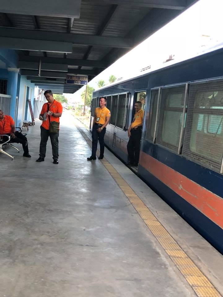 PNR staff having a time-out between train operations
–
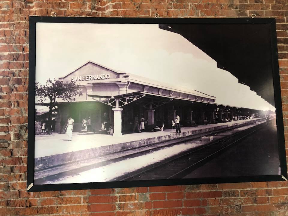
PNR San Fernando, Pampanga
It’s Araw ng Kalayaan (Independence Day) in the Philippines so I thought it was appropriate to feature something related to Philippine history and heritage. Railways in the Philippines played a part in its history being a mode of transport that connected the provinces of major islands like Luzon and Panay. The other railways were more for freight (e.g., agricultural goods) rather than for passengers so the railways in Luzon and Panay, especially the former, had more impact on socio-political events including the wars of independence from Spain and later, the United States. One station that probably figured in the actions during those times more than a 120 years ago is the PNR Station in San Fernando, Pampanga, which was along the main line north that was used by Philippine revolutionaries to transport troops and logistics.
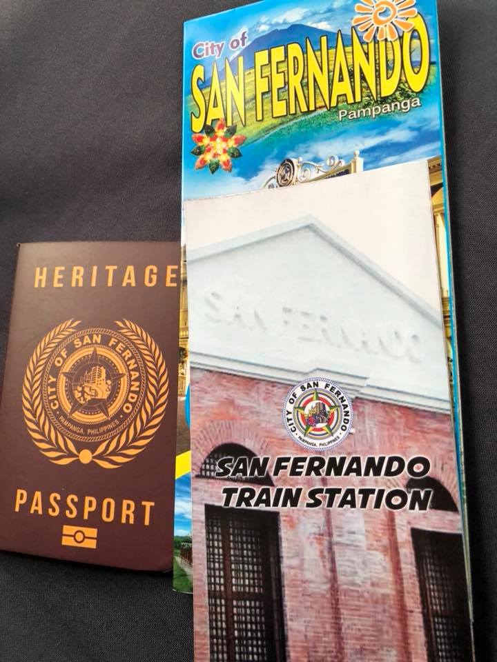
Following are photos of the station, which has been converted into a museum. The proposed revival of this northern rail line will mean that a new station will have to be constructed but it would be good to integrate the old one with the new. Those responsible should work towards heritage preservation in this and other cases of railway stations.


–
