
Home » Transport Planning (Page 17)
Category Archives: Transport Planning
A compilation of studies on walkability in the Philippines
My students have been engaged in studies on walkability (and related topics) the past few years. These have been a mix of published and unpublished work that I have compiled at list below:
Unpublished works:
- Capalar, M.A.M. and Garma, F.A.A. (2018) Assessment of Walkability Along Taft Avenue, Unpublished Research Report, Institute of Civil Engineering, University of the Philippines, Diliman
- Pajarin, J.B., Soriano, C.M. and Regidor, J.R.F. (2017) Assessment of Mobility of Persons with Disabilities (PWDs) in Cainta, Rizal, Unpublished Research Report, Institute of Civil Engineering, University of the Philippines, Diliman.
- Cortez, E.H.D. and Razon, J.V.DV. (2017) Assessment of Walkability Along Katipunan Avenue, Unpublished Research Report, Institute of Civil Engineering, University of the Philippines, Diliman.
- Marcelo, K.R.S. and Salvador, J.P.B. (2015) Assessment of Pedestrian Facilities Along Marcos Highway, Unpublished Research Report, Institute of Civil Engineering, University of the Philippines, Diliman.
Published works:
• Pajarin, J.B., Soriano, C.M. and Regidor, J.R.F. (2018) “Assessment of Mobility of Persons with Disabilities (PWDs) in Cainta, Rizal,” Philippines Transportation Journal, Vol. 1, No. 1, pp. 60-80.
• Pajarin, J.B., Soriano, C.M. and Regidor, J.R.F. (2017) “Assessment of Mobility of Persons with Disabilities (PWDs) in Cainta, Rizal,” Proceedings of the 24th Annual Conference of the Transportation Science Society of the Philippines, Quezon City, July 21, 2017.
• Regidor, J.R.F., Marcelo, K.R.S. and Salvador, J.P.B. (2016) “Assessment of Pedestrian Facilities Along Marcos Highway,” Proceedings of the DPWH Research Symposium 2016, Quezon City, September 2016.
Here’s a paper based on a comprehensive study our centre conducted for the City of Olongapo in the Province of Zambales:
• Palmiano, H.S.O., Javier, S.F.D. and Regidor, J.R.F. (2015) “An Assessment of Walkability in a Medium-Sized Philippine City,” Proceedings of the Eastern Asia Society for Transportation Studies, Vol. 10, December 2015.
We hope to continue such studies with future advisees who perhaps can tackle other corridors or even areas. Among those on my Wishlist would be Espana Avenue, Ortigas Avenue, Intramuros, Recto Avenue, and even EDSA or Circumferential Road 5.
–
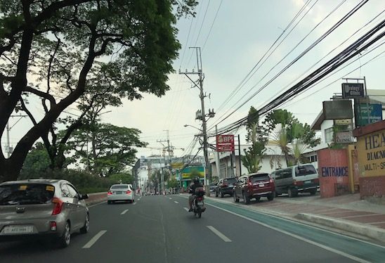
On Quezon City’s Kalayaan Avenue bike lanes
Another example of what can be called “pwede na iyan” bike lanes are those found along Kalayaan Avenue in Quezon City. To be fair, the city made an effort to paint the bicycle lane and put up signs for this. However, one will observe that there is poor enforcement in relation to the bike lane as you would find vehicles parked on the lane. There is also the question of bicycle traffic as there doesn’t seem to be many cyclists along Kalayaan, making the space fair game for other vehicles including tricycles and motorcycles. Then there is the matter of connectivity. The Kalayaan bike lane seems to be isolated and does not have a connection to any other bike lane. The lane around the Elliptical Road, for example, is in the inner side of that road. Teacher’s Village does not have bicycle lanes but perhaps it is not (yet) necessary to have exclusive lanes in the still predominantly residential area (note: commercial establishments are still on the rise along major roads in the village).
 Vehicles parked on the Kalayaan Avenue bike lane
 Free flowing traffic along Kalayaan – notice the vehicles parked on the sidewalk?
One big question comes to mind with regards to such bike lanes: How do we improve the situation in order to encourage more people to bike? There are many answers to this question and the answers branch out to the infrastructure, policy, social and even societal, and other aspects concerning cycling. What we should bear in mind and what Quezon City and perhaps MMDA should work on is a strategy for promoting non-motorised transport (NMT) that includes walking and cycling that can be implemented metro-wide with safety and efficiency (incl. connectivity) as the main objectives rather than have piecemeal projects for show or demonstration.
–
Incomplete rationalisation of public transport?
The current initiative to rationalise road public transport services is not as comprehensive as necessary or as some people want us to believe. The drive appears to be mainly on (some say against) jeepneys while little has been done on buses and UV Express vehicles. Most notable among the modes not covered by rationalisation are the tricycles.
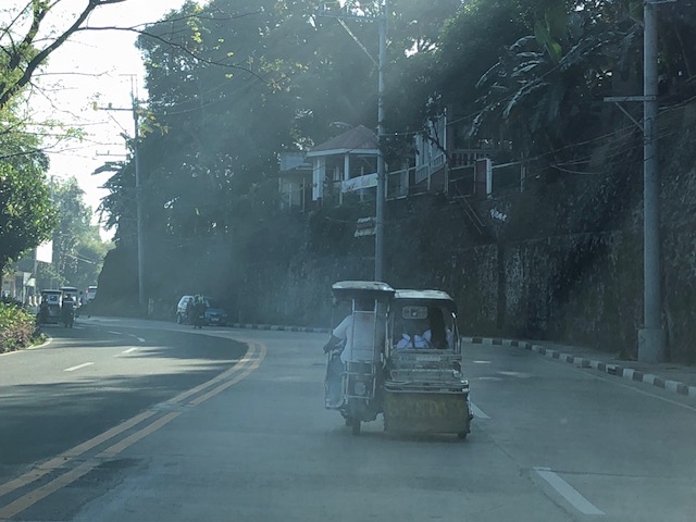 A smoke-belching tricycle along Daang Bakal in Antipolo City
What really should be the role and place of tricycles in the scheme of themes in public transportation? Are they supposed to provide “last mile” services along with walking and pedicabs (non-motorised 3-wheelers)? Or are they supposed to be another mode competing with jeepneys, buses and vans over distances longer than what they are supposed to be covering? It seems that the convenient excuse for not dealing with them is that tricycles are supposed to be under local governments. That should not be the case and I believe national agencies such as the DOTr and LTFRB should assert their authority but (of course) in close cooperation with LGUs to include tricycles in the rationalisation activities. Only then can we have a more complete rationalisation of transport services for the benefit of everyone.
–
SimCity-like tool for impact analysis?
There’s this nice article about a tool for transport/traffic impact assessment (TIA):
Peters, A. (2018) This SimCity-like tool lets urban planners see the potential impact of their ideas, http://www.fastcompany.com, https://www.fastcompany.com/40548501/this-sim-city-like-tool-lets-urban-planners-the-potential-impact-of-their-ideas [Last accessed: 4/12/2018]
I played SimCity before with the early versions of the game. My friends and I thought it had the potential as a tool for transport planning given the visuals and the features for building cities out of scratch. We even tried out some concepts like transit oriented development (TOD) to see how these can be “simulated” in the game. With other tools like Google Earth and Street View, it is possible to create new tools or apps for rapid determination of impact areas. The immediate or primary impact areas of developments are spelled out in the guidelines published by the Institute of Transportation Engineers (ITE) so these can be incorporated in a tool or app. This can be a good project for development and application locally. Perhaps this can be developed for use by local governments and practitioners preparing TIAs.
–
On Visita Iglesia and Quiapo transport and traffic
As it is already the Holy Week, I thought it would be good to write about transport and traffic around one of the busiest churches in the Philippines – Quiapo Church. This is surely a popular stop for the Visita Iglesia, which is a tradition for many during the Holy Week. People visit as many churches (usually the target is seven) as they can where they are supposed to pray the novena appropriate for the season.
 A side view of the church from Quezon Boulevard, which is the main access road for the church. Most public transport pass along this boulevard that connects to other major roads. It’s a good thing that the City of Manila has been stricter in enforcing against on-street parking here.
 In front of the church is Plaza Miranda, where many political rallies are held including one fateful rally in the early 1970s that eventually led to the declaration of martial law, is a bustling area with many vendors selling all kinds of items, religious and otherwise, including those that are claimed to be medicinal. Note though that vehicles are allowed to park on-street and this means people would have to hail jeepneys in the middle of the street.
 This is traffic along Quezon Boulevard as seen from the descent from the Quezon Bridge (Quiapo church is seen at the left). I took this around 4PM on a Wednesday so it was not surprising to have heavy traffic on both sides of the boulevard. I’ve been told, however, that for most of the day during weekdays, traffic is as heavy as this.
Traffic in Quiapo is not as heavy on Sundays (It’s also quite as bad on Saturdays.) and holidays. During the Visita Iglesia period of Holy Thursday and Good Friday, however, there will likely be heavy traffic in the area as a lot of people bring their own vehicles for the Visita Iglesia as well as for their “church tours”. I used the term “church tours” because I’ve observed that many don’t really come to pray (e.g., Stations of the Cross or novenas) but to take photos (i.e., selfies or ‘groupfies’) and eat & drink about. In Metro Manila, there are several churches popular for this tradition. These include Our Lady of Perpetual Help in Baclaran, Christ the King, Sto. Domingo and Our Lady of Lourdes in Quezon City, and the Manila Cathedral, San Sebastian, St. Jude, Malate and Binondo Churches in Manila. That is not an exhaustive list as there are many churches (old and new) spread around Metro Manila including those in other cities like Malabon, Marikina and Las Pinas. And then there are also the churches in the provinces surrounding Metro Manila, which I will try to write about soon…
–
On child-friendly cities
Here’s another article that I want to share. This time it is about child-friendly cities. Here is an article that present many good practice examples in other cities. Many are easily replicable in our towns and cities, and should be considered by local governments in order to enhance safety and health aspects in their jurisdictions.
Laker, L. (2018) “What would the ultimate child-friendly city look like?”, theguardian.com, https://www.theguardian.com/cities/2018/feb/28/child-friendly-city-indoors-playing-healthy-sociable-outdoors [Last accessed 3/9/2018]
–
Article on the need for ‘Context Cities’
Here is another good article I’ve found and read recently:
Wolfe, C.R. (2017) “Forget ‘Smart’ – We Need ‘Context Cities'”. Planetizen.com. https://www.planetizen.com/features/96310-forget-smart-we-need-context-cities (Last accessed: 12/21/2017).
Much has been said, I believe, about smart cities. I, too, have attended and even spoke (about Intelligent Transport Systems) at conferences or fora that had ‘smart cities’ as the central theme. Most talk about how technology can be used to further development and to address various transport and traffic problems. A lot of people tend to be excited when technology gets into the mix of things and yet few seem to be interested in a city seeking its true identity. And so the concept of ‘context cities’ over ‘smart cities’ become important as we need to contextualise what a city should be before we conclude that a technology push is the way to leapfrog into advancement. Perhaps the soul can be found and reconciled with and this is done through the context and not tech, which cannot replace history, heritage and culture that are distinct attributes of each city.
–
A new transport planning process?
December’s already “Chrismassy” in our part of the world and so in keeping with the spirit of Christmas, here is another article I am sharing:
Polzin, S. (2017) “All I Want for Christmas is a New Transport Planning Process,” Planetizen.com, https://www.planetizen.com/node/96036?utm_source=newswire&utm_medium=email&utm_campaign=news-12042017&mc_cid=e64f0c0c60&mc_eid=9ccfe464b1 (Last accessed: 12/6/2017)
In school, we’ve been taught and are still teaching many of the old concepts of transportation planning. I believe these are still important and relevant especially since the fundamentals, or the basics if I may say, are still needed in many situations around the country (i.e., the Philippines). The article above is relevant to our case because it helps build awareness of what is now being discussed and what the future will bring to us. That future for transport is not necessarily immediate although there are already pressures coming from various sectors and technology has been key to the disruptions and the leapfrogging we are experiencing. I like what a friend opines overtime he gets the chance. That is, that the technology-push is not the solution to a lot of our problems because we cannot ignore the basic deficiencies in our transportation system that technology alone cannot overcome.
–
New guidelines for bikeways
I want to share an article discussing new guidelines for bikeways released in the US.
Andersen, M. (2017) “Which Bike Lanes Should Be Protected? New Guide Offers Specifics,” Streets Blog USA, https://usa.streetsblog.org/2017/11/01/which-bike-lanes-should-be-protected-new-guide-offers-specifics/ (Last accessed 11/16/2017)
This is useful not only for practitioners or planners but also for academic purposes such as in transportation planning or engineering courses where future planners and engineers are molded.
–
Article on building support for walking and cycling infrastructure
There is another recent article on non-motorized transport (NMT). This is a good read and something that I think should be required for those who are little too serious or staunch about their advocacies.
Doyon, S. (2017) “Building support for walking and bicycling infrastructure” Public Square, A CNU Journal, https://www.cnu.org/publicsquare/2017/11/11/building-support-walking-and-bicycling-infrastructure (Last accessed 11/11/2017)
I believe that if you want to convince people to appreciate and support your cause, you should not take the hardline. Instead, there should be a more persuasive process for wooing people. This is especially true in transportation and the advocacies for walking and cycling. You will not get a lot of support, for example, by condemning car users and telling everyone they should bike instead.
–
