
Home » Posts tagged 'DPWH'
Tag Archives: DPWH
On accountability, good governance and missed opportunities
Yesterday was the death anniversary of former President Benigno “Noynoy” Aquino III whom many fondly called PNoy. His administration saw many fiscal and policy reforms being implemented, resulting in perhaps the best economic performance of the country this century. Of course, they also benefitted from the developments of the previous administration but good sowing cannot result in a good harvest if what was planted was not nurtured to have a good yield in a timely manner. That goes without saying that there were also many low hanging fruits that were not picked for whatever reason the PNoy administration (his people, not necessarily PNoy) had. That included the Cebu BRT project that only recently was partly completed and operational.
Missed opportunities – I always wondered why there were no major infrastructure projects completed during the 6-year term of PNoy. I’m sure someone in the know can refute this but to most people, can we identify a major infra project completed during that time? Were there any new transportation projects like a rail or BRT line completed then? Were there new airports or terminals? Were there tollway projects completed (sections don’t count, we are talking about complete projects)? Any major bridges completed? What were completed mostly were policy and governance related items, particularly those intended to reform a system that was perceived as corrupt and inefficient. It was the same mistake the Cory administration did back in the late 1980s and early 1990s that led to energy and water crisis that the Ramos administration had to address. Of course, that administration had to deal with a lot of political destabilization attempts at the time. That administration had to deal with a lot of projects initiated or in the pipeline by the previous administration, which until now is being regarded as good examples of “what if” for transportation infrastructure. It took a long time, for example, before another mass transit line was constructed in Metro Manila. The reforms now currently being lobbied by various groups could have been done during the PNoy admin but were not. Hopefully, the current administration can catch up given some major players now including the DepDev Secretary were also involved back then.
–
More urban expressways for Metro Manila?
I’ve written about expressways before and particularly about where they probably are most suitable and where they shouldn’t be constructed. Here is the article I posted here in 2021: https://d0ctrine.com/2021/05/03/in-defense-of-expressways/
I will not comment anymore about the alignment of the proposed SALEX but here is a “without” and “with” elevated tollway that’s based on a photo of Padre Faura we took while doing a recon around the PGH compound last Friday.
 Photo of section of Padre Faura Street fronting U.P. Manila’s Museum of Ideas
 AI-assisted image showing the transformation of the section once the proposes SALEX is constructed. The elevated tollway should be higher than the renders you see on social media because there is the Line 1 along Taft Avenue.
Can the trees be saved? Maybe and by saved we don’t mean that they will be transferred. They should be retained where they are.
Why is San Miguel so intent in constructing these tollways? Is it really to “solve” Metro Manila traffic? Most objective, level-headed experts will tell you that the solution involved public and active transportation rather than more tollways. Who is whispering to Ramong Ang’s ears and advising him to build more of these tollways (and bridges)? Your guess is probably as good as mine…
–
A tollway over Padre Faura?
We had a recon survey of the streets surrounding the UP Manila and UP PGH compound this morning. We walked the entire time and got to see firsthand the conditions along the streets including Pedro Gil and Padre Faura. I’ve seen and read a lot about the proposed SALEX with an alignment that will have the proposed tollway above Padre Faura.
I can’t imagine the blight that the elevated tollways will have on Padre Faura. It will surely affect traffic along the street during construction. There is a lot of AI-generated renders of what it will look like. However, not clearly shown would be the effect of the tollway on a narrow street like Padre Faura. It will be higher than the Line 1 along Taft Avenue though so most renders you see on social media are incorrect in terms of elevation.
Were the establishments along Padre Faura consulted before the alignment of the proposed tollway was submitted for approval? That alone seems to be a glaring flaw in the PPP law considering the location of the tollway. Why is another tollway for construction in the metropolis when what are required are mass transit lines and better public transport?
–
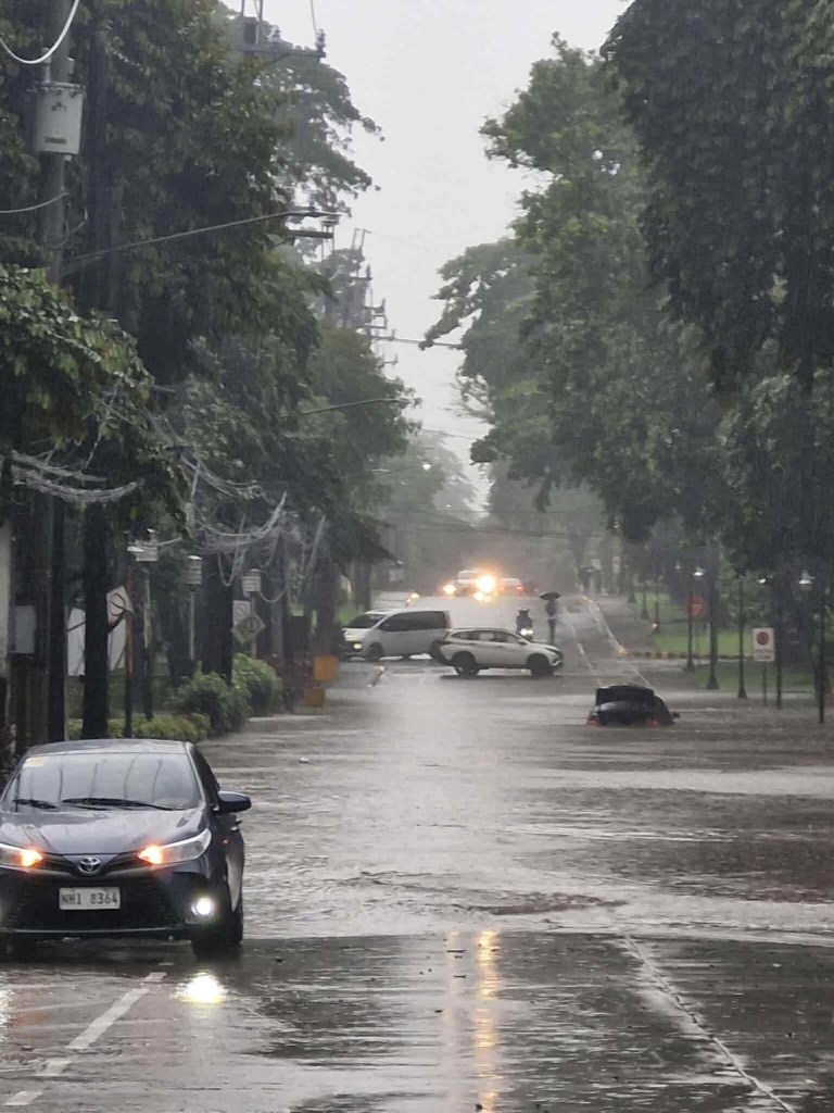
Is it the wet season already?
It has been raining the past few days though it’s still quite hot especially from the morning til noontime. While the rains were not exactly downpours for most cases, today was probably the heaviest in terms of visibility (near zero), coverage (it was raining along my entire commute from Quezon City to Antipolo) and length (about an hour). This was what it looked like with the wipers off:
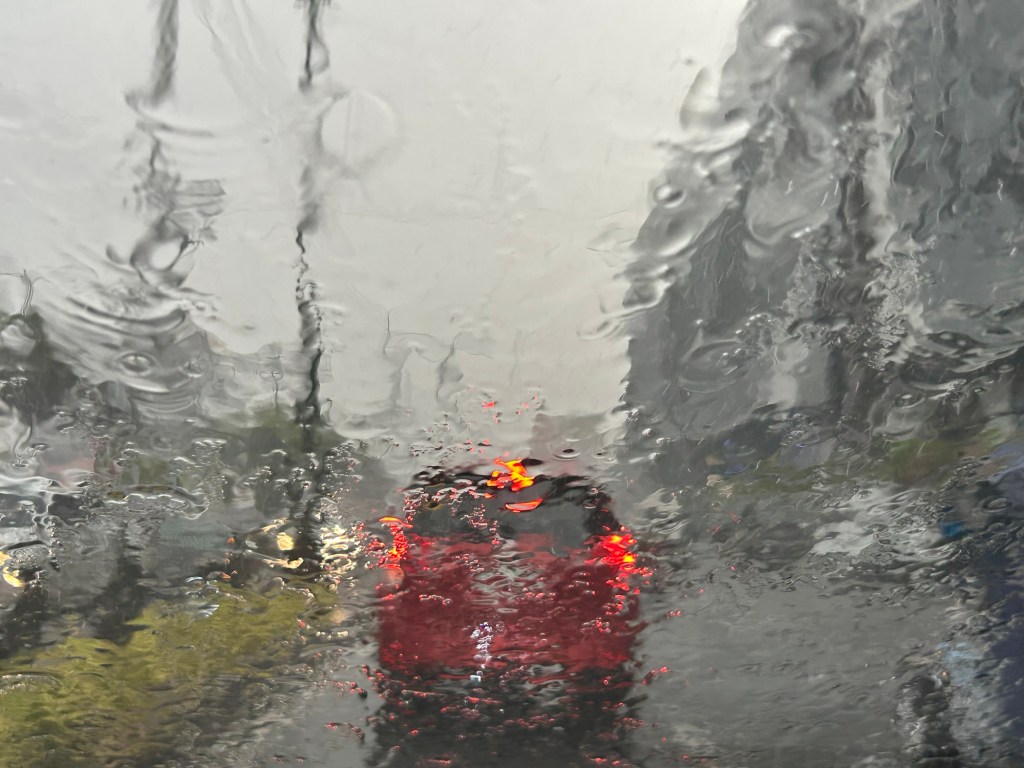
The rains are definitely welcome from the perspective of temperatures. It gives us cooler weather everywhere though short showers often lead to even hotter and humid conditions (singaw?). The flash floods also help us not to forget the anomalous and immoral actions of politicians and DPWH officials.
–
Another ‘a bridge too far’?
Earlier this month, I was reminiscing about a trip I made before the pandemic. I was in the Netherlands during one Holy Week to participate in the final defense of a PhD dissertation. I was the external panelist and was invited to be there in person. This was prior to the pandemic and the preference for online participation. I took advantage of the travel to make a side trip to a few locations I previously only watched onscreen. Several bridges there were subject of a World War II film, “A Bridge Too Far.” This was about the bridges the allies attempted to capture during Operation Market Garden. The term “a bridge too far” is now used to refer to the folly of going beyond what can really be achieved. It can also be used to refer to something (including bridges) that one sought to build or create but is just not called for or required.
I wrote in the past about projects that are nice to have but are not necessary or priority. These included bridge projects that are supposed to connect major islands in the Philippines. Given the limited resources we have and the long list of infrastructure projects that need to be prioritized, these shouldn’t be on top of a city’s or province’s list over projects like transit systems, affordable housing closer to workplaces and schools, and schools. And even if we did commit to bridges, it doesn’t make sense to build them where they are likely to cause more damage than benefits. One such bridge that is now in the pipeline and currently making the rounds of social media pages is the proposed bridge connecting Boracay Island to Panay Island. It simply doesn’t make sense to make a tourist attraction like Boracay more accessible to even more people. The island already exceeded its environmental carrying capacity many years ago and more people via this bridge will definitely be disastrous to its ecosystem aside from the social and economic impacts of the bridge.
I googled the land areas of three islands where bridges are proposed for construction. Here are the results:
“Guimaras is the largest of the three at roughly 611.87 square kilometers, followed by the Garden City of Samal at 301.35 square kilometers and Boracay, which is the smallest at only around 10.32 square kilometers. Guimaras is a province, Samal is a component city, and Boracay is a tiny tourism-focused island.”
While it might make sense for such bridges to be built to connect Iloilo with Guimaras and Davao with Samal Island, it doesn’t make sense for Boracay’s case. Guimaras and Samal will be better served by the bridges across many aspects of their being local government units and not just a tourist attraction. Guimaras’ mangoes, for example, can be transported more efficiently to Iloilo where a world class port can transport the fruits in bulk to destinations where they are in demand. The bridge will also ultimately link the island province to Iloilo’s airport. Both Guimaras and Samal have nice beaches and resorts but they are not the only attractions or activities of these islands. Granted that boatmen and maritime transport between the islands will be affected by the bridges, the impacts can probably be alleviated by a shift in their livelihoods (of course, with the assistance of government and partners). The perception is that Guimaras and Samal stand to gain more in terms of benefits while Boracay will deteriorate should it become so easily accessible.
–
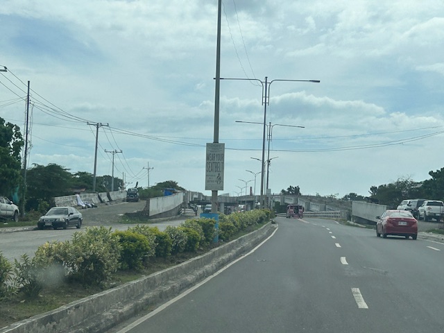
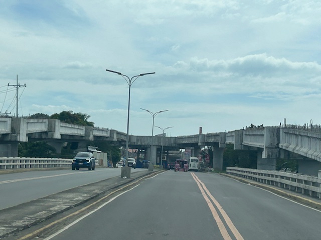
The unfinished Ungka flyover in Iloilo City
The Ungka flyover generated much controversy in Iloilo not just because it remain unfinished but the reasons why it is not completed. I assume that since this is a government project, budget is not really an issue. Projects like this can always have allocations as long as it sticks to the budget or any reasonable and justifiable adjustments (read: additional funds) for its completion. However, there are technical rather than budget issues that need to be addressed and which have major implications on the budget if retrofitting is required and undertaken. Otherwise, the capacity of the overpass is compromised and it will not function as originally planned. Following are photos I took last year coming from the airport to the city.
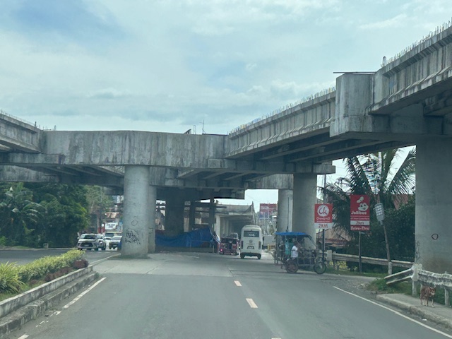
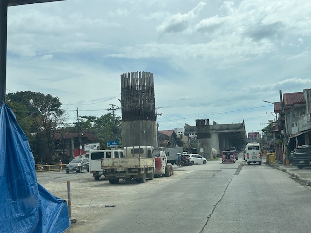
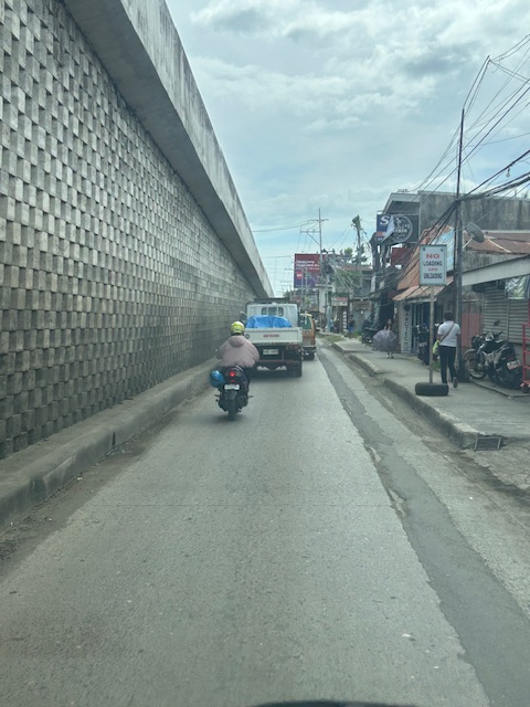
I decided to finish and publish this now as there is news that construction recently resumed. Hopefully, the issues have been addressed and this long delayed project can be completed to help alleviate congestion in the area.
–
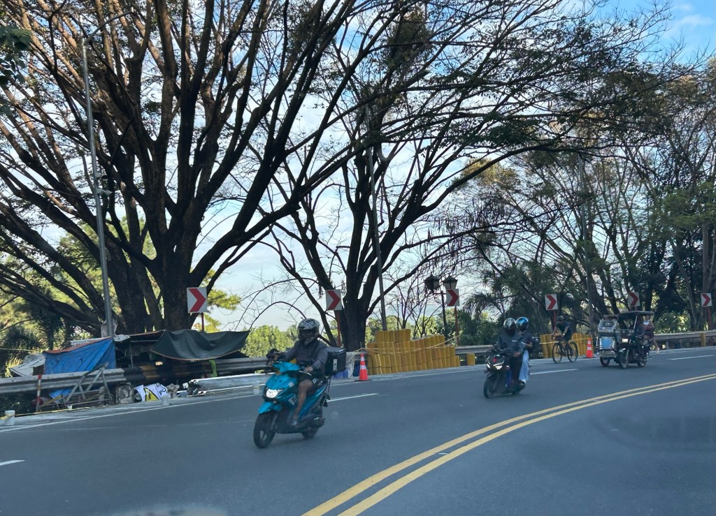
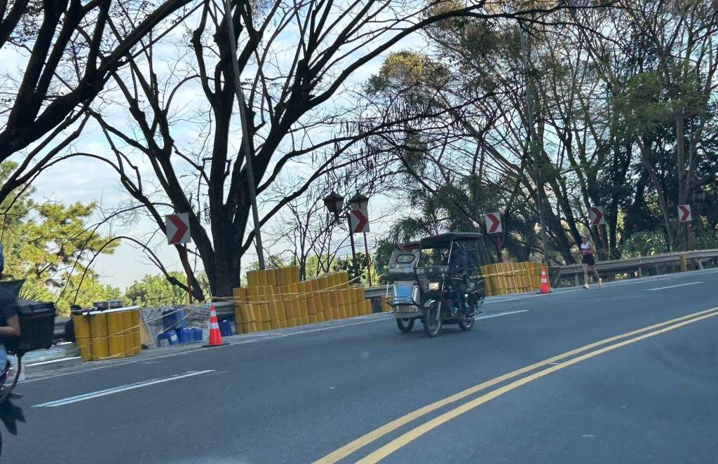
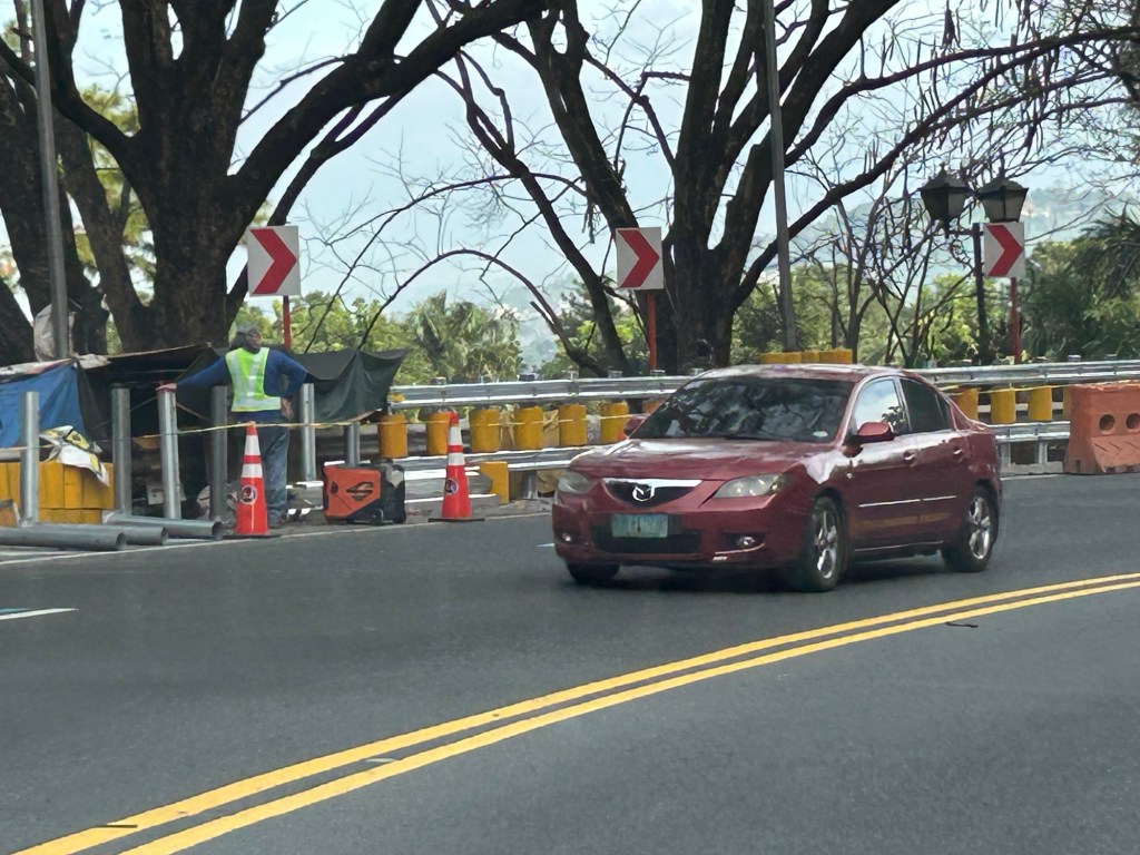
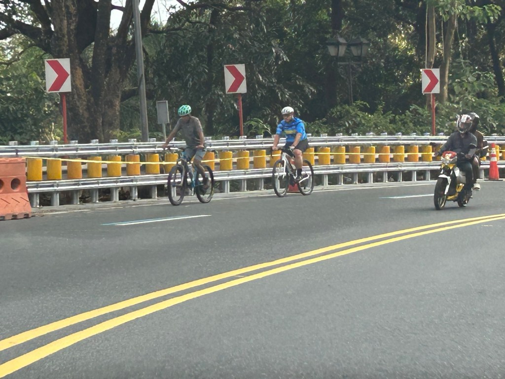
Safety roller barriers along Sumulong Highway
Last week, I observed that the DPWH is currently installing road safety barriers along a section of Sumulong Highway in Antipolo City. Previously, I posted about the same along the Antipolo-Teresa Road, which has treacherous zigzag sections. Here are photos of the ongoing installation work along Sumulong between Padi’s Point and the Oscar Lopez Center.
Here is a link to what these barriers are and how they help make roads safer for all users:
https://roadskyguardrail.com/what-is-a-safety-roller-barrier-a-comprehensive-guide
–
Words of wisdom from the back of a taxicab
I was driving home from work one evening last week and was behind this taxi. As we were practically stopped due to the evening rush traffic jam, I was able to take this photo of a quote from the Bible that was displayed on a board installed behind the cab:
 It is a very apt quote especially in these times when corruption is everywhere in the news.
The quote also reminded me of the families of those alleged to have been involved in corrupt practices. All those social media posts by the so-called nepo children of politicians, government officials and contractors bring these relatives in the fray, in the forefront of discussions. Are they innocent or be treated as so (based on the opinions of some people)? Or are they themselves guilty and even complicit of the corruption their parents are involved in? My take is that if the children are of toddler age or younger, then they shouldn’t be involved or shamed. They definitely do not know and not aware of what’s going on. But for the older children who are traveling, shopping and enjoying ill-gotten wealth, that’s a different story, even if they are still below 18 years old. They are aware. They already know of their excesses. Perhaps they have already been indoctrinated by their elders about their status and privilege, and think these are okay. Indeed, entire households can be liable and should suffer the consequences of their actions and excesses.
–
Sins of omission at DPWH
I’ve been quite busy the past weeks due to various commitments including deadlines. Nevertheless, I have tried to be updated on the current events pertaining to the flood control scandal many government officials are now being linked to. These include the personalities involved, the projects and the amounts that are now the basis for a lot of people being horrified enough to be called into action. Apparently, many people have not been convinced enough of past misdeeds that have been reported; including the ones pertaining to abuses of uses of confidential funds.
I have hesitated to post on my thoughts about the mess at DPWH as I have many friend including past and present students who are with the Department. Some if not all I know to be sensitive to the corruption issues around the flood control projects. The latter apparently blew up in the faces of the officials of the agency and exposed them and their staff to a lot of ridicule (both warranted and not) and even harassment. Recently, I’ve been seeing a lot of posts from people who are supposedly with the DPWH. These posts are obviously apologists for certain officials considering the content of their writing. These are basically attempts to absolve those who claim to be clean among the DPWH staff and officials, and yet they have not done anything to correct these wrongdoings. This is what is called commiting ‘sins of omission’. By not doing anything for whatever reasons including being afraid to be a whistleblower (considering the consequences) means one is enabling or even encouraging the acts of corruption. In essence, they are being complicit by turning their blind eyes to the rotten eggs. This applies anywhere and not just to DPWH employees. And perhaps so many in government agencies are guilty of this.
–
Flash floods in Quezon City
The rains poured again this afternoon and it was quite intense for more than an hour in Quezon City. We had floods at the UP campus and along Katipunan Avenue. Reports from various sources stated that there were also floods along EDSA and other major roads in the city. The floods come at a time when QC flagged flood control projects undertaken by the DPWH without the city’s blessings.
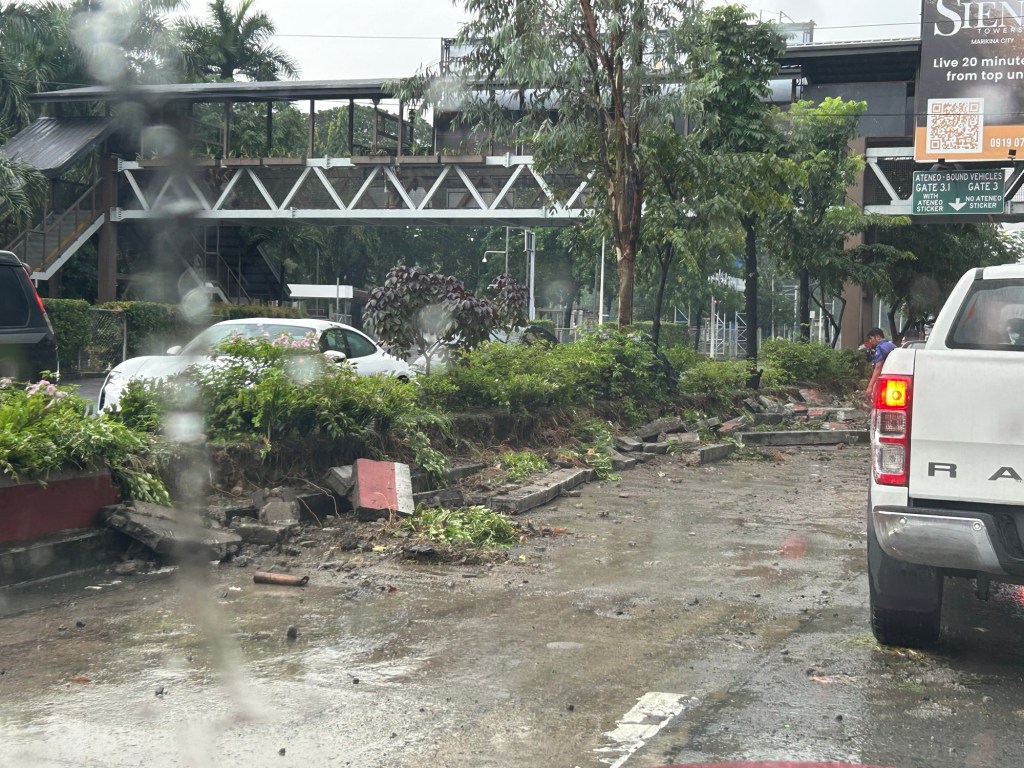
The flash floods were probably proof of the shoddy work associated with DPWH and its contractors. While QC residents and the LGU should share the blame for these, the scale and frequency of the floods indicate drainage issues.
The floods have led to intense traffic congestion and commuters being stranded due to public transport vehicles not being able to turn around. The latter is one of the cases where public transport appears to be lacking. Their numbers may not be lacking at all but the traffic conditions prevent their turnaround to address the demand for transport.
–
