
Home » Posts tagged 'mountains'
Tag Archives: mountains
Mt. Arayat – the Lonely Mountain
A trip north will usually bring travelers to see a lonely mountain, actually a volcano, that is Mt. Arayat. Located in Pampanga province, you can see Mt. Arayat clearly as you traverse the North Luzon Expressway (NLEX). The volcano is actually visible even from afar on a clear day. I have shared photos of it from our village in Antipolo, Rizal.
 Mt. Arayat as viewed from the NLEX viaduct. On the foreground is the Candaba Swamps
 Another view of the ‘extinct’ volcano dominating the Pampanga landscape. Is it really extinct or perhaps just waiting to be awakened by a force of nature? That was how Mt. Pinatubo became active after a powerful earthquake a year before its big eruption.
I have seen the Mt. Arayat up close on a few occasions. One such time and perhaps the closest I’ve seen it was when we traveled along its foot to get to a wake in a far off Nueva Ecija town. There are actually many plantations or farms around it and along its slopes.
–
Cityscapes and mountains
I’ve been reading about how a lot of people seem to be ‘discovering’ the mountains around Metro Manila. It is not as if these have suddenly appeared or that many have been obscured by pollution. For the latter, perhaps if you lived some distance and pollution was so bad that the smog was thick enough to hide mountains then it would be easier to not see them. In reality, I think most of these people have just been too busy not to see these mountains and other landscapes when they happen to be in plain sight. Perhaps people were too distracted by their daily routines that they didn’t have time or relegated these to the background as if they were noise to be filtered. Parts of the Sierra Madre from Antipolo to San Mateo and Rodriguez (Montalban) are common sights that are not usually appreciated as people go on their daily commutes and are caught in traffic.
Here are some of the mountains that are visible from strategic locations. In my case, I live in Antipolo and an area near my home allows me to see well known mountain landmarks from different provinces.
 Mt. Makiling in Laguna Province without the usual cloud cover of its peak
 Mt. Banahaw and Mt. San Cristobal in Quezon Province are not usually visible unless its really one of those clear days.
 Mt. Arayat in Pampanga Province is visible at the right side of the photo. The view though is marred by rebars sticking out from a house under construction.
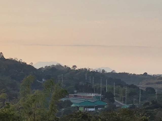
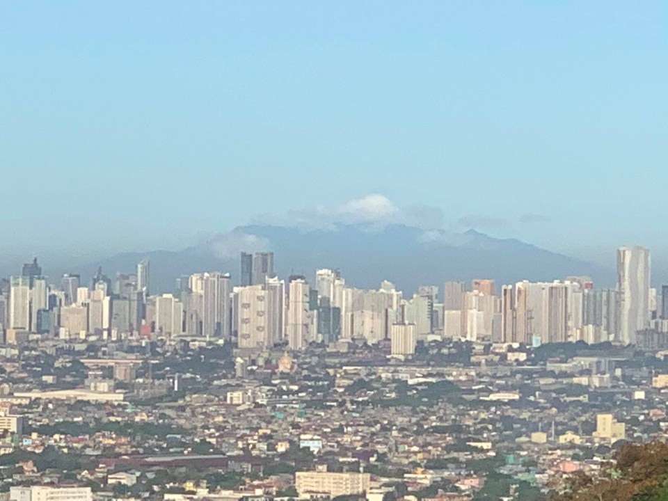 Mt. Mariveles in Bataan Province with cloud cover serves as a background for the Metro Manila cityscape.
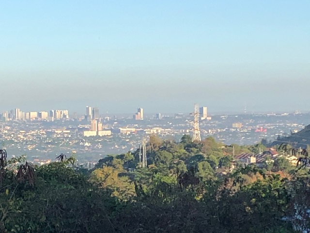 This is what Quezon City usually looks like with layers of smog making it difficult to ascertain any mountains that are visible on clear days.
I have photos of Mt. Natib, Mt. Malarayat and the Tagaytay Ridge that I will be posting here soon.
–
Roads to Baguio: Marcos Highway – Part 1
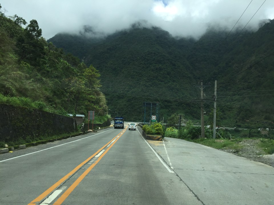
In my recent trip to Baguio, I made sure to take new photos of roads particularly the major ones that made that city in the mountains accessible. Of course, one objective was also to have an updated selection for my highway engineering lectures. Following are the first batch of photos I took of Marcos Highway last June 2016. I won’t be writing a caption for many of these photos as well as those in the succeeding batches. I’ll just put these here for others to refer to whether for practical uses or for research.
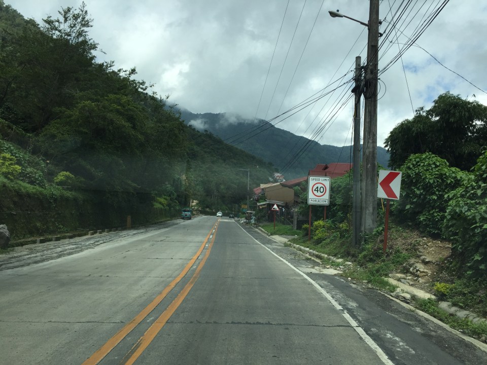 I found it unusual to see double yellow along a relatively straight and level section of Marcos Highway. It is perhaps a section where there have been a significant number of road crashes?
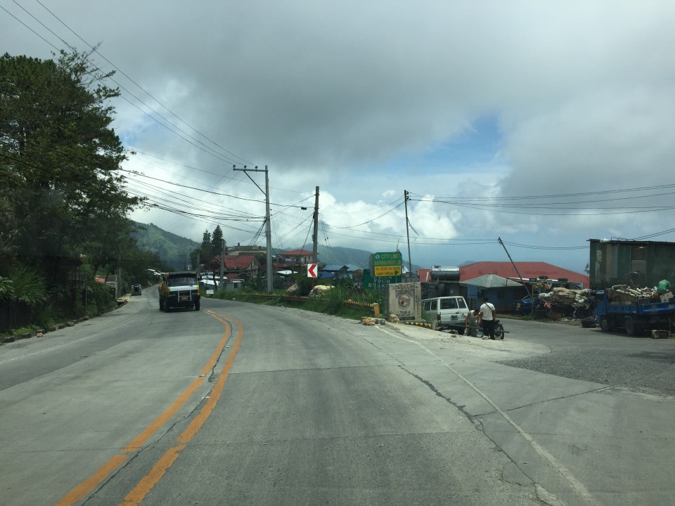
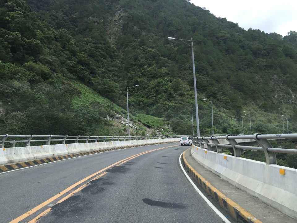
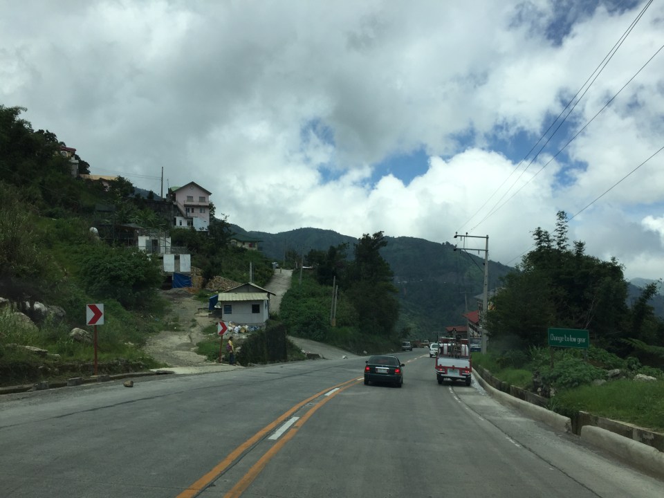 There are many roads built to provide access to areas previously uninhabited but now have houses giving some spectacular mountain views.
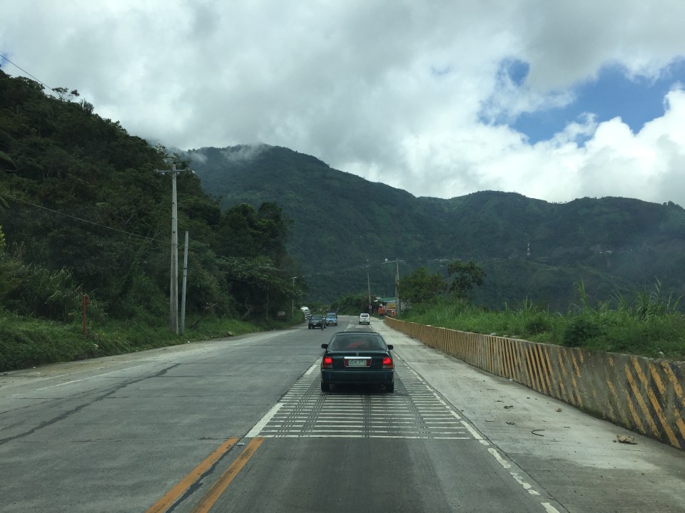 There are rumble strips along many sections of the highway; seemingly there to wake up travelers that where getting sleepy.
 It can get quite foggy along the highway

 Old barriers look sturdy enough to prevent heavy vehicles from falling off the highway.
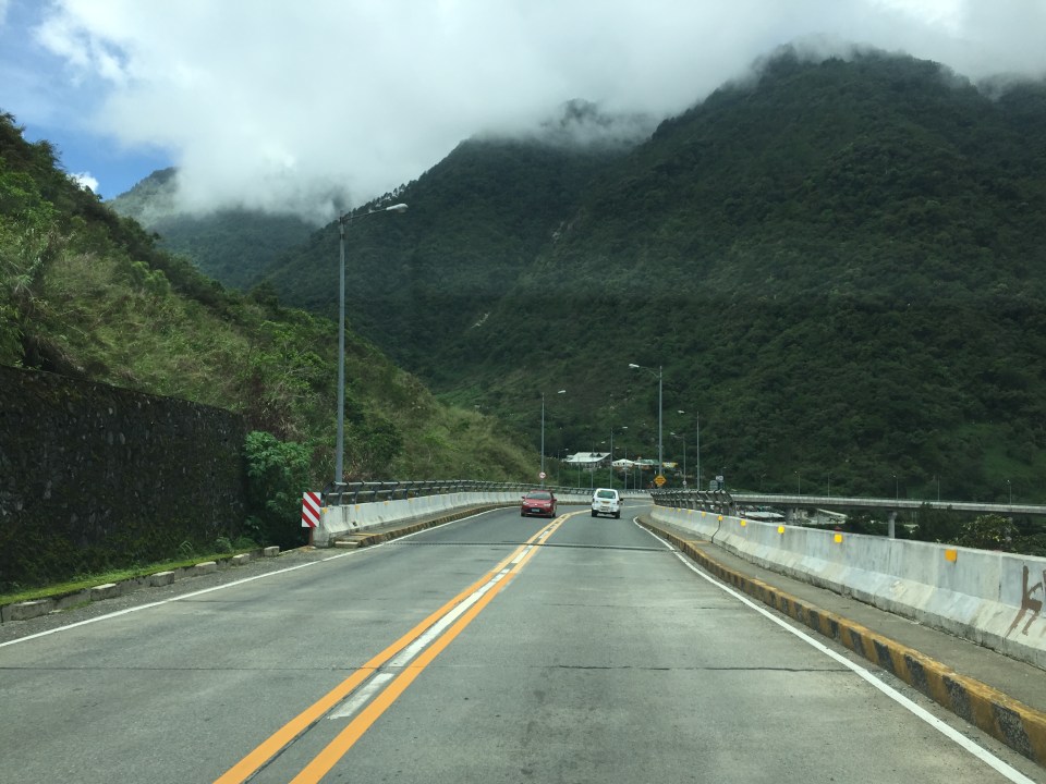 One end of the viaduct alongside the mountains
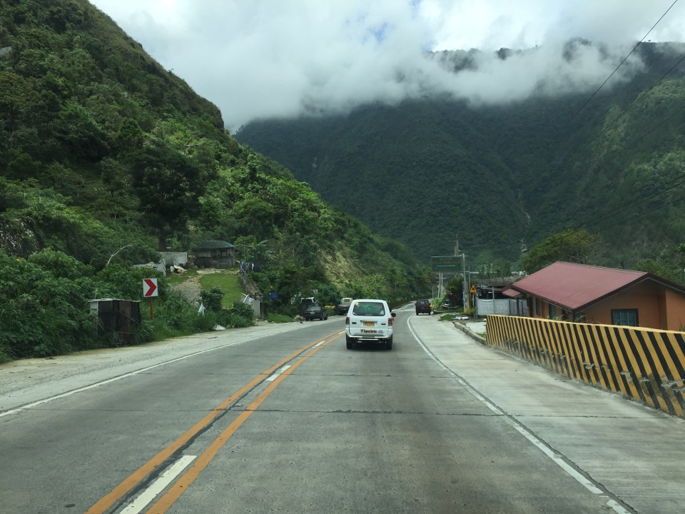
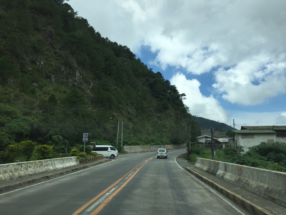
 There are communities in many places in the mountains along the highway. Access would be via local roads, some of which are private roads.
 I thought perhaps bridges and viaducts in the Philippines should have shoulders and more generous space for pedestrians.
 The van in the photo enters the highway from one of the many driveways and local roads connecting to the national highway.
 What appears to be a tunnel for many people is actually a roof structure to protect travellers and the road from landslides.
 During the day, it is bright inside the structure given the openings along one side of the highway.
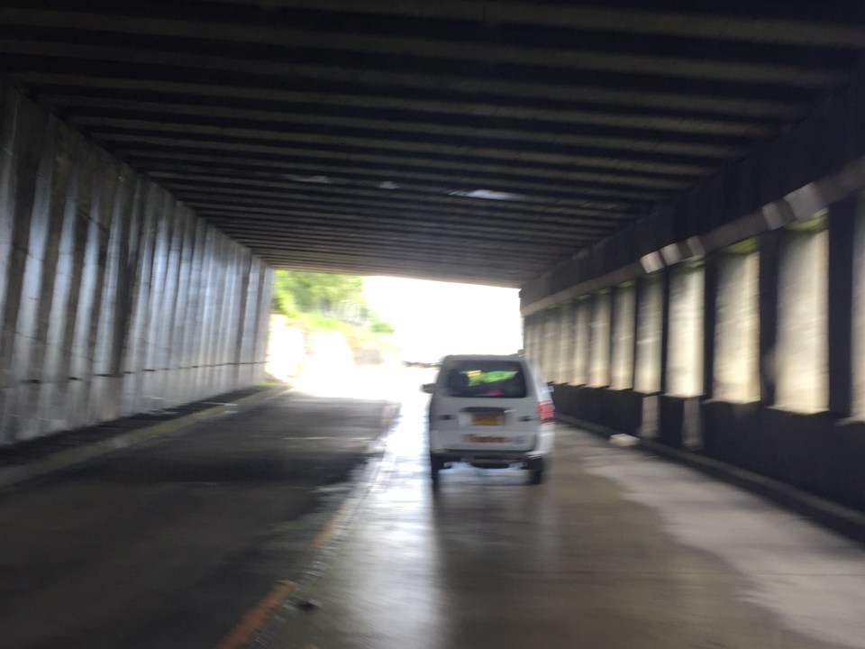 The light at the end of the tunnel?

More photos in Part 2 coming up soon.
–
