
Some thoughts on Metro Manila traffic
I was going to defer posting another article this September as I reached my usual quota of at least 10 posts. Particularly, I wanted to have a series about my recent trip to Vietnam. But then the traffic congestion the past week was just so severe that I felt I just had to write another piece.
To be fair, there are so many reasons why transport and traffic are bad in Metro Manila. Among these is the lack of mass transit infrastructure, particularly a more comprehensive rail-based system. Metro Manila, with its population of over 12 million requires something like 8 to 10 mass transit lines that are interconnected and allows for seamless transfers with road transport modes. Singapore, with less people, has more efficient options for public transport. Then, there is the lack of facilities for walking and cycling that could tremendously reduce the number of trips using motor vehicles particularly for short trips (perhaps within 2 to 3 kilometers travel distance?). I won’t even go to the deficiencies of road public transport and the proliferation of private cars operating as full time taxis (ridesharing anyone?). And urban planning? Well, that deserves its own article…
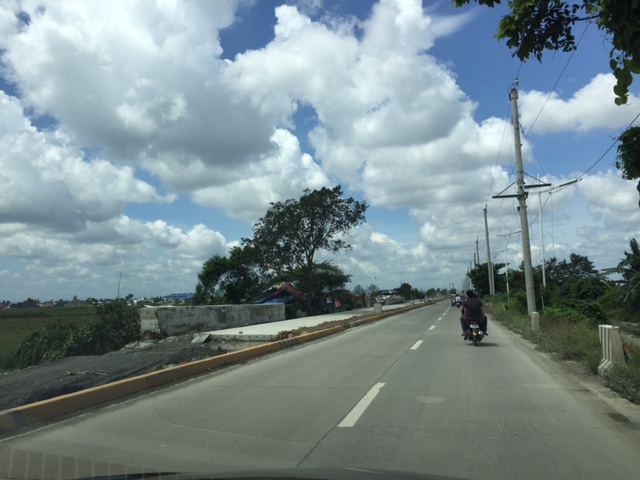
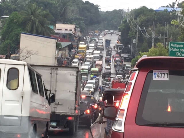
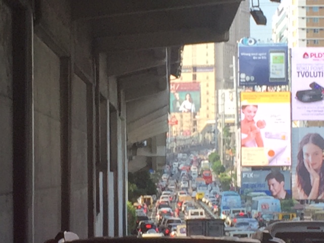 This is EDSA in the mid-afternoon. I took this photo while we were heading back to Quezon City from Makati around 3:30PM. It was not supposed to be this heavy considering people were still at their workplaces, schools or even the shopping center/malls.
There is no quick fix to Metro Manila’s problems. Obviously, the infrastructure that should have been in place decades ago need to be built albeit at a high cost. Our children and grandchildren will likely end up paying for these but there is also the reality that such infrastructure won’t get cheaper in the future. There should also be stricter policies and enforcement to improve the quality of services of public transport. As it is, private transport modes including taxis, the popularity of ridesharing/ridehailing services and the unregulated motorcycle taxis are steadily taking people away from public transport. This is perhaps among the most significant causes of more congestion for the metropolis that needs to be quantified and validated for us to understand and determine what measures need to be taken.
I conclude this post and September with a nice article on walkability:
Steuteville, R. (2017) Why walkability is not a luxury, Public Square, https://www.cnu.org/publicsquare/2017/09/28/why-walkability-not-luxury, last accessed September 29, 2017.
–
NAIA terminal transfer guide
I was able to get the following photos of a couple of pages from the Philippine Airlines (PAL) inflight magazine Mabuhay. The photos show an airport terminal transfer guide for the Ninoy Aquino International Airport (NAIA), which has 4 terminals. Since I get a lot of traffic and questions about terminal transfers in this blog, I thought it practical and informative to just post these here for everyone’s benefit.


I hope these are helpful!
–
Some updates on C-6
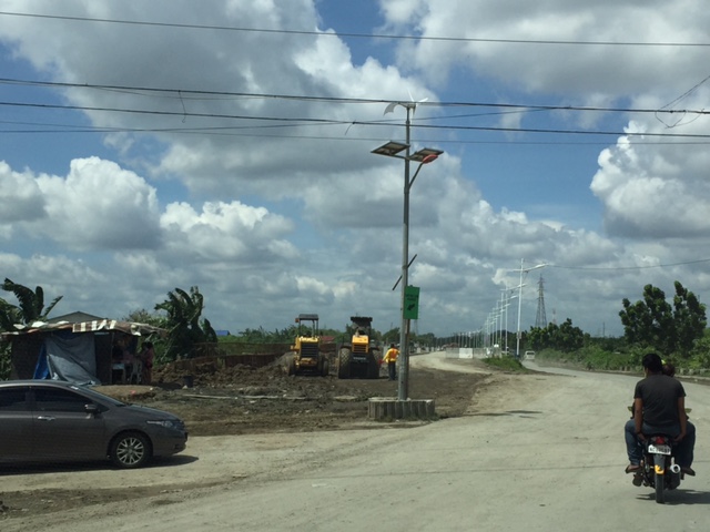
It seems late but there seems to be no really significant changes to the state of Circumferential Road 6 as the rains seem to have slowed down work on sections of the highway. We took these photos 3 weeks ago showing the nice 2-lane/2-way section on the side of the Laguna de Bay that’s been opened to general traffic. Previously, most vehicles had to use the beat-up, crater-plagued older section of what was a dike road. We were heading to SLEX via Bicutan so we were able to take a lot of photos for the entire stretch of C-6. I won’t be annotating all the photos anymore but suffice it to say that the series starts just after the Napindan Bridge in Pasig and ends prior to Taguig City’s bayside park at Lower Bicutan. Vehicles bound for C-5 or BGC via Ruhale Street should get off the newer section and negotiate a short but very bumpy road that’s not a good experience if you’re using a car. Just after the Ruhale “exit” all vehicles would have to return to the old road and have to be patient with the bad conditions of the pavement on both sides of the road.


–
EASTS 2017 Conference in Ho Chi Minh City, Vietnam
The 12th International Conference of the Eastern Asia Society for Transportation Studies (EASTS) will be held in Ho Chi Minh City, Vietnam from September 18-21, 2017. The conference promises to be an improvement from the 11th conference held in Cebu City, Philippines two years ago. That conference was not as well attended as past conferences and the arrangements were quite shaky considering a lot of supposed commitments for sponsorships backed out during the critical stages of the organization. That included the host city and the transport department (the then Department of Transportation and Communications or DOTC), both of which promised so much when the conference was proposed but somewhat disappeared when the going got tough. EASTS 2017 should exorcise that memory and perhaps the Philippines can host another conference in the future to make amends for Cebu.
Here’s a link to the local organizing committee’s conference site for the details on the EASTS 2017 conference:
12th International Conference of the Eastern Asia Society for Transportation Studies (EASTS 2017)
–
Traffic congestion along Sen. L. Sumulong Memorial Circle
I was on some errands and had to pass through the Sen. Lorenzo Sumulong Memorial Circle from Taktak to the other side of Antipolo near the Lico Circle. The section from Robinsons Antipolo where the Sumulong Circle intersects with Sumulong Highway until C. Lawis Street is being widened and photo below shows the work in progress. The road is a dangerous one especially at night. There are a lot of electric poles in the middle of the newly constructed lanes and power and phone lines dangling in many places. The unfinished parts have a lot of excavations, construction material and debris from the demolished buildings.
 Widened section of Sen. L. Sumulong Memorial Circle
I took the following photos while traffic was at a standstill:
 Initially, it was not so obvious what the cause of congestion was except for the dramatic sag along the road. Both sides appeared to be congested.
 Closer observation showed my direction to be congested up to a certain point whereas the opposite direction across from me was free flowing and traffic build-up along the other side also appeared to be from a certain location at the bottom part of the sag.
It turned out that out of the 6 lanes of the road, only 3 lanes were available to moving traffic – one lane along my way and two along the opposite. Vehicles were parked along 2 lanes of the road in front of the Antipolo City Police Station and 1 lanes across from it. It seems quite ironic considering the police is also tasked with traffic enforcement and management and yet the problem emanated from their station. I am not sure whose vehicles are those that are parked along the road. Perhaps many are owned by police officers? By comparison, the national high school beside the station and the nearby hall of justice did not seem to generate as much vehicular parking as the station. The obvious solution though would be to have an off-street parking lot or facility. Looking at Google Maps, there are some locations along M. Santos Street where a multi-level parking facility can be built but land needs to be acquired first and that can be a difficult task. Another option might be to relocate the main station (i.e., headquarters) elsewhere where there is space for proper facilities including off-street parking. Perhaps they should have a place at the new government center being developed by Antipolo?
–
What if Manila decided to build its first subway back in the 1970s?
There is something about the counterfactual that is attractive to me. While I do not have formal training as an historian, I like to dabble in history and particularly about the what-could-have-been. It started with a book I read about counterfactual military history with various articles written by prominent historians who put forward scenarios including that on Thermopylae, Pearl Harbor, and the Vietnam War. I have found it a good exercise in analysis that is along the lines of chess analytics where one move may lead to another in response. Applying this to transport was quite a natural thing and we take a look at some information from the Feasibility Study for what was proposed in 1973 as the first subway line for Metropolitan Manila.
 Proposed schedule for the 3-stage construction of RTR Line 1, most of which would have been a subway connecting Diliman, Quezon City with the University Belt in Manila and ultimately the airport in Paranaque.
Stage 1 between UP and FEU could have been operational as early as 1983 but typical delays could also have led to service starting in 1984 or even later. According to some critics of the LRT Line 1 that was built instead of the RTR Line 1, Marcos decided against the subway after being convinced by his advisers that the line could not be completed before Singapore finishes its own first line. A story is told that Marcos didn’t want Lee Kuan Yew to have the satisfaction of having Southeast Asia’s first mass transit line so the former opted for the elevated LRT instead. What really happened though was Singapore started operating its SMRT North-South Line in 1987, after what was also a long period of planning, decision-making and construction. It can be argued that the Philippines could still have completed at least 10 kilometers of the RTR Line 1 and at most 15 kilometers by 1987. Even a revolution in 1986 could not have doomed this project given its benefits that we could have reaped over the long-term.
 Proposed stages of construction for the RTR Line No. 1 – whichever alternative could have led to the completion and inauguration of a substantial segment by 1983/84, well ahead of Singapore’s first line.
 Artist’s conception of what an RTR Line 1 platform could have looked like. The trains look like a typical Tokyo Metro train. There’s some humor here as you can see the route map at right and the direction sign at top left referring to the Manira (Manila) Air Port.
As you can see in this rather simple (note: not included are discussions on the financial & economic aspects of this project) exercise, Metro Manila could have constructed the RTR Line 1 more than 3 decades ago. Even with the political upheavals in the Philippines during this period, it can be argued that Marcos and his version of the “best and the brightest” could have pulled it off and come up with the country and Southeast Asia’s first subway line. Most of the decision-making, planning and construction would have been during Martial Law when the Marcos had quite a firm grip on power. So he and his apologists have no excuse for this failure to potentially revolutionize transport and take Metro Manila to the next level in terms of commuting. That failure ultimately led to the current transportation situation we have in what has grown to become Mega Manila.
–
Some thoughts on the Metro Manila subway project
The proposed Metro Manila subway seems to be well underway after months of studies particularly to determine the best alignment given so many constraints and preferences such as it being directly connected to the Ninoy Aquino International Airport (NAIA). A prominent opinion writer is obviously quite excited about the prospect of I also assume that most transportation planners and engineers in Metro Manila if not the whole country are also excited about this project. Commuters are definitely hopeful and many who have experienced riding metros abroad (e.g., Singapore, Hong Kong, Tokyo, etc.) should be among those who look forward to using Metro Manila’s first in perhaps 5 years time.
The idea is not a new one as it is something that was actually thought of way back in the 1970s (perhaps further back?) when the precursor of JICA came up with the Urban Transport Study in Manila Metropolitan Area (UTSMMA) in 1973. The study was closely followed by a feasibility study for what was proposed as the Rapid Transit Railway (RTR) Line 1.
 Cover page for the MRTR Line No. 1 Feasibility Study (NCTS Library)
It was unfortunate, however, that the project was derailed (pun intended) after the World Bank came up with their evaluation of transport situation and transportation planning in the Philippines in 1976, which led to a counter-recommendation to have light rail transit instead of the heavy rail system proposed by UTSMMA. The latter report was followed closely by the WB-funded Metro Manila Transport, Land Use and Development Planning Project (MMETROPLAN) completed in 1977. What really happened such that the “best and the brightest” in those days (Martial Law Philippines under Marcos) abandoned the subway for light rail?
While MMETROPLAN is often lauded as a comprehensive study of metropolitan Manila, many of its assumptions and recommendations should now be subject to scrutiny. These include the assumptions on land use (e.g., for the Marikina Valley and environs not to be developed, etc.) and recommendations for a light rail transit (LRT) network. Time and history provides us with new lenses and filters by which we could try to understand what was going on in the minds of those who did MMETROPLAN. Many of those involved including one prominent (some will say self-promoting) architect and a rather controversial transport planner who were young at the time still refer to MMETROPLAN as The Masterplan that should have been implemented. It obviously wasn’t and we now bear the brunt of opportunities lost because of the decisions made in the 1970s.
I don’t buy the argument of one prominent local transport planner who downplayed the UTSMMA plan as a juxtaposition of the Tokyo metro system to Metro Manila. A more reliable and grounded assessment was recently put forward by another transport planner who is also a geographer and an economist. He was recently in London where they have a comprehensive underground railway network (the London Underground as many fondly call it) and came to the conclusion that the Japanese were inspired by this network and went on to replicate this in Tokyo. This is not without historical basis since the Japanese sent a lot of their future engineers and planners to Europe especially England and Germany during the Meiji Restoration. And so it is not a stretch to think that the principles employed by the Japanese in recommending a heavy rail system back in 1973 is not necessarily just a copy of Tokyo’s but draws inspiration from European models as well. That could have been a game-changer 40 years ago when RTR Line 1 could have started operations and commuting in Metro Manila may not have become as hellish as it is today.
–
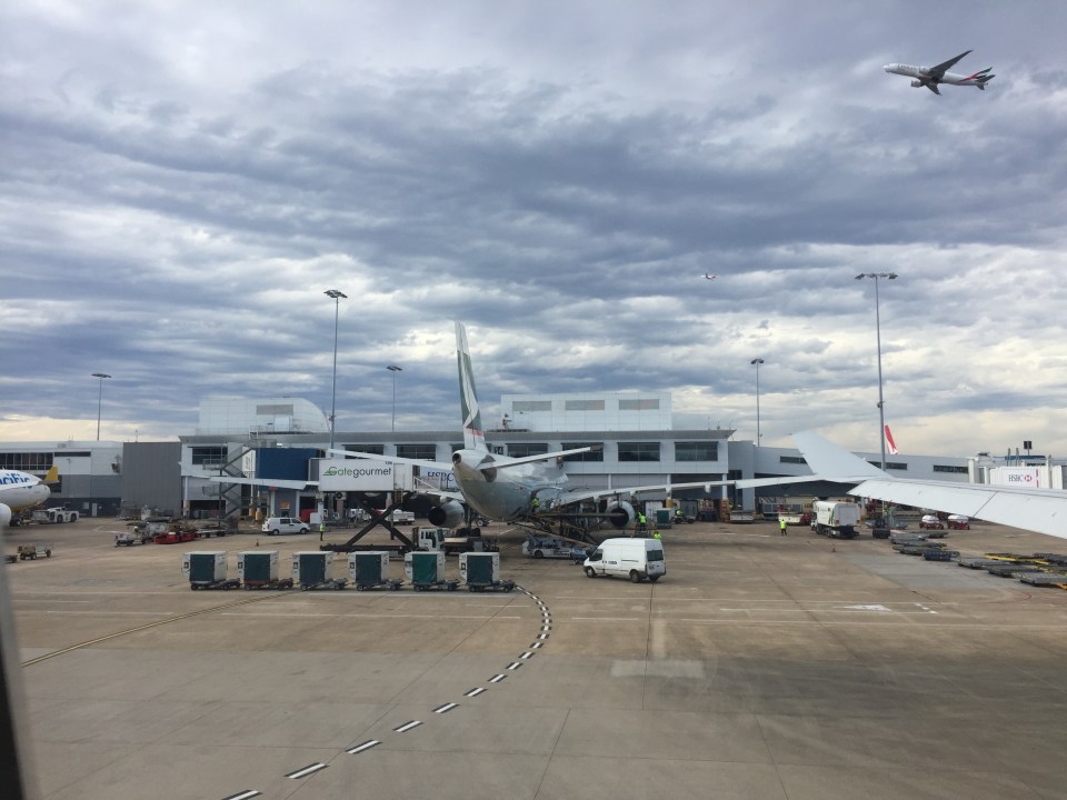
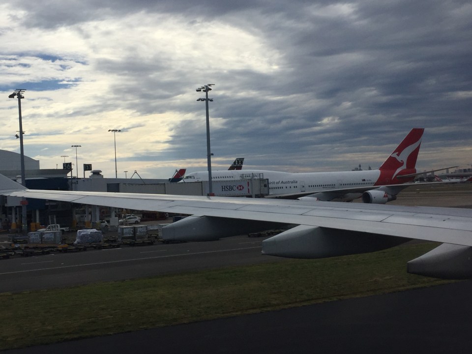
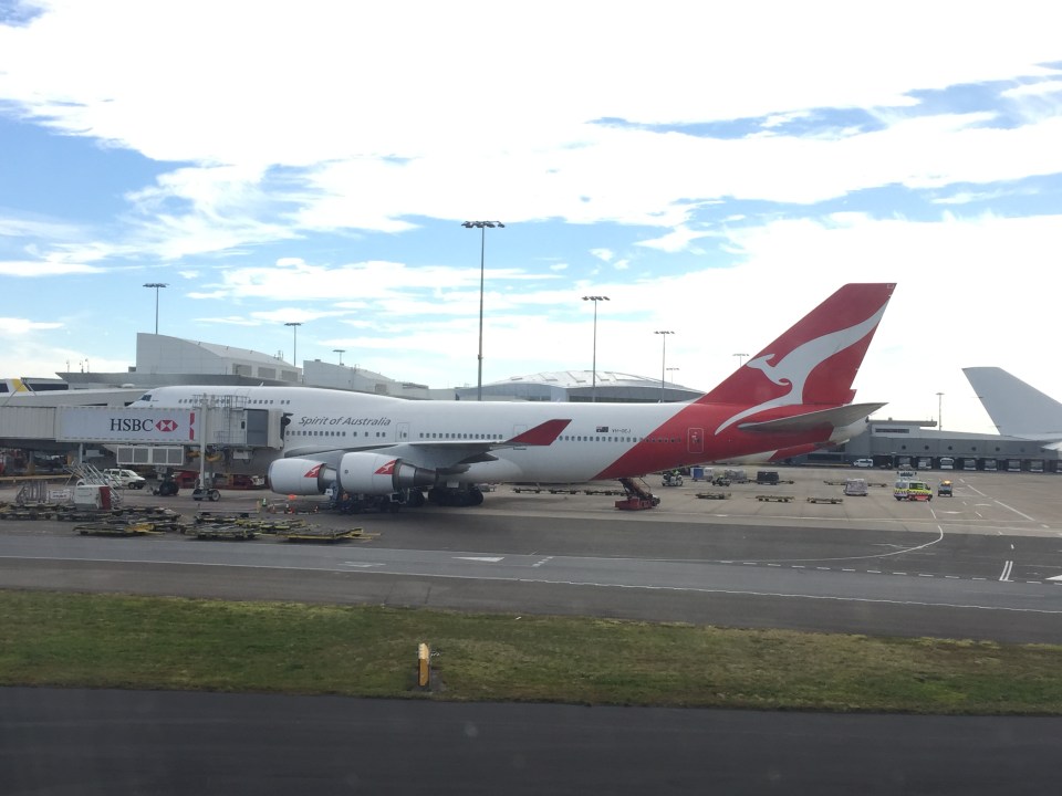
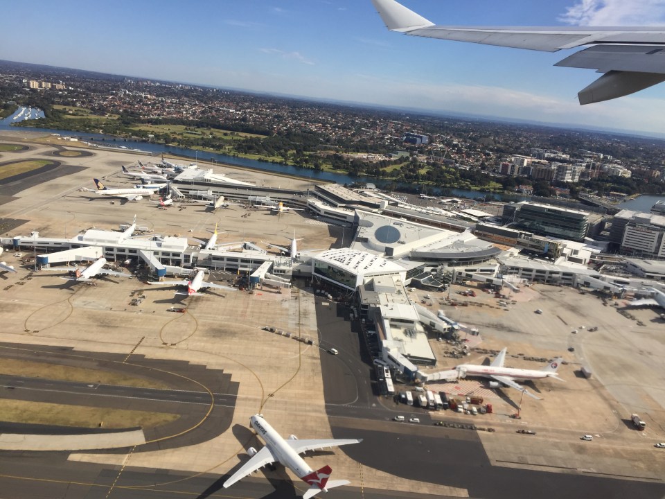
Sydney airport airside
As our plane pushed off, taxied and took-off for the return flight to Manila, I took a lot of photos. Here is the collection of photos but I won’t be making a lot of comments on any or each as my purpose it to have these available here for future reference for my lectures or projects.


I also took some photos of Australia as our aircraft flew over the continent. I will be posting those soon to share these views from thousands of meters above.
–
Melbourne airport departure
Here are some photos taken at Melbourne Airport when I traveled to Sydney to spend a few days there prior to returning to Manila.
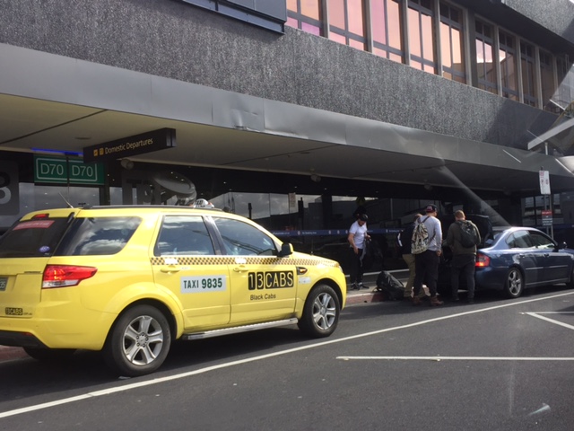 Airport terminal driveway
 One of many machines allowing for self check-in
 Automated bag-drop allows one to weigh and check-in luggage. You have to put on the tags on your luggage yourself after they are printed out by the machine.
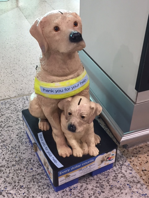 Fundraiser for seeing eye dogs
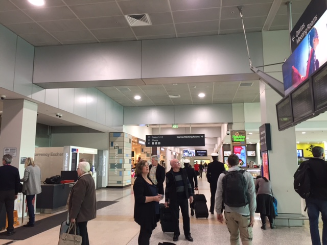
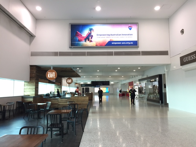
 The way to the gates is lined with shops
 Passengers checking the status of flights
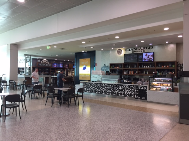 The airport terminal doesn’t seem to be crowded (maybe only during the time I was there?) and you can easily get a seat near any of the cafes/restaurants at the terminal.
 A look at the spacious area where passengers can have a meal or refreshment while waiting for their boarding times.
 The escalators lead to the lower level where there are lounges and a path to the exits
 At the lower level are more cafes and shops. I bought myself a pair of shades at the Sunglass Hut there.
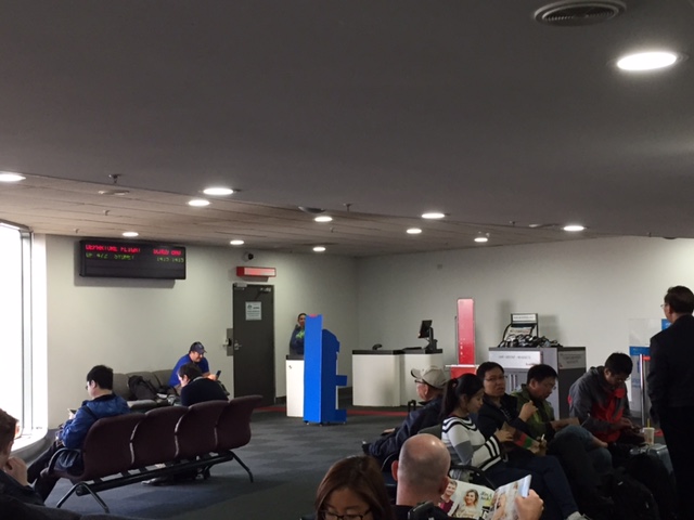 There were already many passengers waiting at the gate when I arrived a few minutes before the boarding call.
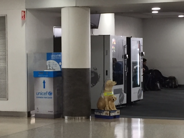 Vending machines, a donation box for UNICEF and another one of those mother dog and puppy devices for donations for seeing eye dogs.
–
What if Ondoy happened today?
With the news of the devastation of Houston by Hurricane Harvey comes articles about transportation in that city. An interesting articles is this one:
Davies, A. (2017) “Hurricane Harvey Destroys Up to a Million Cars in Car-Dependent Houston“. Wired.com. September 3, 2017. https://www.wired.com/story/harvey-houston-cars-ruined?mbid=nl_090317_daily&CNDID=%%CUST_ID%% (Last accessed 9/4/2017).
The article reminded me of a very personal experience back in 2009 when Typhoon Ondoy (international name: Ketsana) submerged much of Metro Manila and its adjoining provinces in what was believed to be at least 100-year floods. Greater Metro Manila or Mega Manila is not too dependent on private cars for transportation with an estimated 70% of trips taking public transport (about 30% use private vehicles including motorcycles and taxis). Much of this public transportation, however, is road-based and so the floods did much to affect transportation in the area for the weeks after Ondoy. Car-owners rebounded quite quickly and car sales surged afterwards with many people purchasing SUVs in response to the likelihood of floods.
But what if Ondoy happened today? What if people were as unprepared as in 2009? Perhaps the damage would have been even greater than back in 2009. Mega Manila has become more dependent on cars since then with the current estimates of private vehicle mode shares at around 35%. The increase includes not only taxis and motorcycles, which have enjoyed steep increases in the past decade, but also ridesharing services (i.e., Uber and Grab).
Uber and Grab vehicles are predominantly comprised of vehicles purchased for the main purpose of being driven for income instead of the original concept of ridesharing where the vehicles are already owned and operated only during the free times of their owners (i.e., they provide services only on a part-time basis). Their proliferation and popularity means a lot more vehicles could have been damaged by Ondoy and that the owners of these vehicles likely would not have recovered from the loss even despite their auto insurance coverages.
Metro Manila and other Philippine cities under the threat of similar severe weather systems such as typhoons should build resilient transportation systems. Not surprisingly, among the more resilient modes of transport are non-motorized such as walking and cycling. Pedicabs where almost immediately back on service in Tacloban after Yolanda practically destroyed that city. But then again, an efficient public transport system is also necessary and buses and trains may provide relief from flooded cities. Maybe, a proposed subway system can also contribute if it includes the construction of subterranean drainage systems similar to that of Tokyo’s. These are not easy to develop or build with infrastructure costing much over the long term. However, Metro Manila needs to start building them now as these won’t get cheaper in the future.
–
