
Home » Heritage (Page 4)
Category Archives: Heritage
Some thoughts on transportation heritage in the Philippines
There have been a lot of buzz about heritage conservation and especially the past few weeks about certain buildings in Manila. A lot has been written about this in newspaper columns and blogs, and there have been features on television about heritage conservation focused on buildings, mostly houses, in Negros, Cebu and Panay. Of course, the most prominent heritage project has just been recognized as a wonder of the world in the city of Vigan, Ilocos Sur. I think another area for consideration in heritage discussions is transportation. We do have a lot of historical routes consisting of roads, railways and even trails that could be preserved or enhanced and not just for commercial purposes but more importantly for the current and coming generations to remember and learn about history and heritage.
The availability and accessibility of such tools like GIS, GPS and aerial photography using drones make it possible to do studies and documentation of transport routes such as the old rail line to Antipolo, the PNR’s Main Line North, the Bataan Death March, and even Aguinaldo’s retreat to Palanan, Isabela. There are also pilgrimage routes linked to the most popular shrines in the country like those in Baclaran, Quiapo, Antipolo, Cebu, Penafrancia and Manaoag.
The PNR and Panay Railway lines are good starting topics for transport heritage studies that may lead to some form of conservation. Following are a few photos taken back in 2006 when we surveyed the alignment for what was supposed to be Phase 1 of the Northrail project. The activities were preparatory for transport surveys that would have provided data that were to be used as inputs to estimating passenger demand for the railway line.
 Remaining structures of an old PNR bridge in Bulacan.
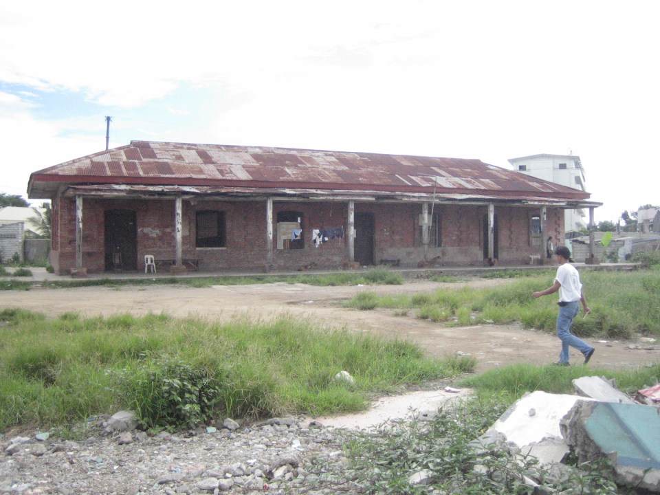
 Old PNR station in Bulacan – I can’t recall if this were in Marilao or Bocaue but the red brick building reminded me of similar rebuilt and preserved buildings in Japan such as Tokyo Station and the warehouses at Aka Renga in Yokohama.
 PNR Malolos Station back in 2006 – the building was occupied by informal settlers at the time.
A good reference for those interested in railway heritage and its conservation is a book entitled “The Colonial Iron Horse” by Arturo Corpuz and published by the University of the Philippines Press. There’s a lot of material in that book to get one started about rail history in the Philippines particularly for the island of Luzon and the two main lines of the PNR – the Main Line North and the Main Line South, which I have written about in previous posts. These could be good topics for interdisciplinary studies involving historians, sociologists, anthropologists, architects, engineers and specialist in other disciplines.
–
Daang Bakal and Antipolo’s attractions
I recently wrote about the old railway line that used to run between Manila and Antipolo via a route passing through the town of Cainta that used what was probably the gentlest slope at the time – through what is now Valley Golf, Victoria Valley and Fairmont Subdivisions. Here are some more photos along Daang Bakal, the old Manila Rail Road line that is now a road.
 Daang Bakal is a scenic route and one can only imagine how this place looked like when it was still a railway line and the areas along it were still undeveloped.
 Hinulugang Taktak has been designated as a National Park and the areas along Daang Bakal at least have been preserved. Users of this road are quite limited to residents of exclusive subdivisions with gates along the road and trips generated by the Immaculate Heart Parish near the Fairmont gate. Public transportation is provided by tricycles that have a terminal at the intersection of Daang Bakal and Taktak Road.
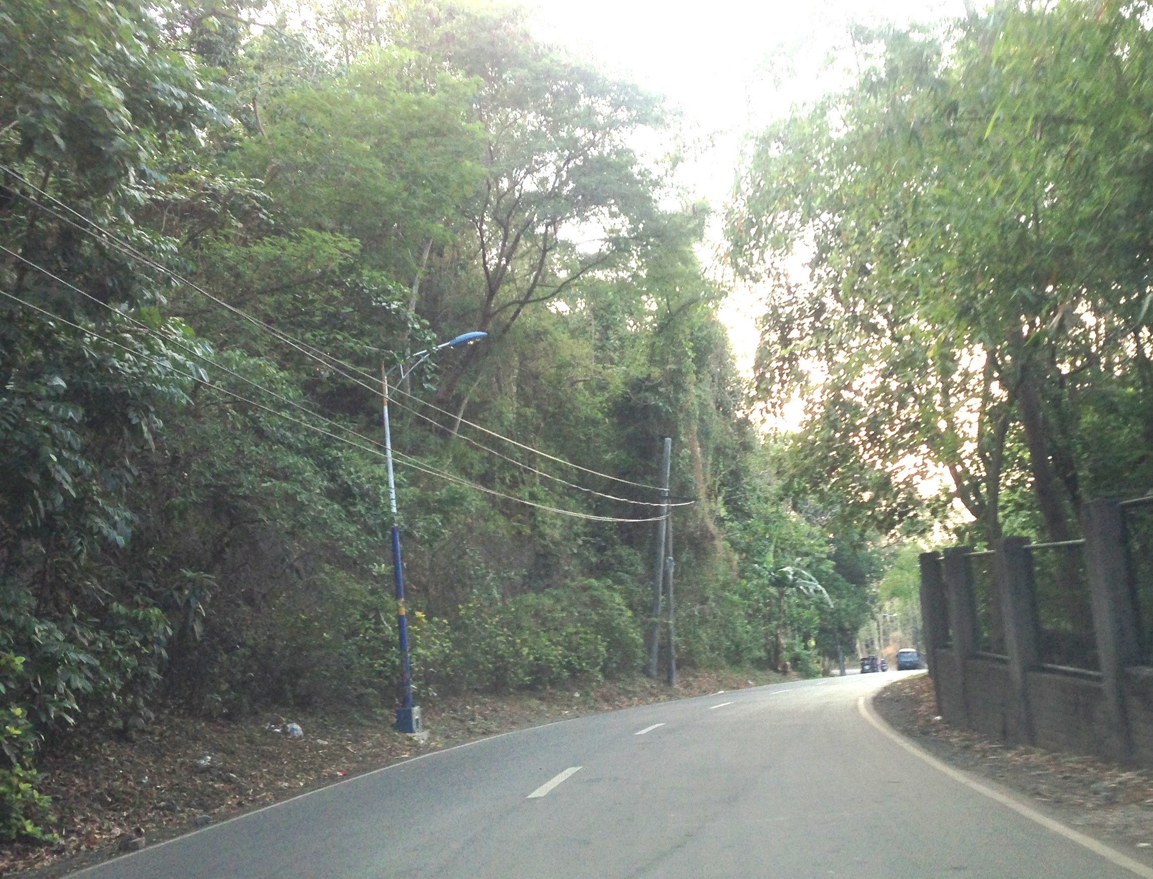
 The temporary fence that was made out of tarpaulin material is now in tatters. There is road construction work ongoing though but mainly for the access roads connecting to Pinagmisahan. The concreted area at the right side of the road in the photo seems to be for parking rather than road widening. Traffic is low along Daang Bakal and will probably not require road widening for the foreseeable future.
 The main entrance and facilities for Hinulugang Taktak are still closed and there seems to be no activity to indicate that the rehabilitation project is not moving at all.
–
Daang Bakal
The right of way for the old railroad line going up to Antipolo is still there and is now a regular road. Daang Bakal rises from what is now Valley Golf Subdivision (Celso Tuazon Ave. and Taktak Drive) in Cainta, Rizal through Victoria Valley Subdivision (Taktak Drive), Fairmount Hills Subdivision and Hinulugang Taktak (Daang Bakal though often referred to as Taktak Road, which is actually a different road and on the other side of the river), and until part of the Sumulong Memorial Circle in the vicinity of the Antipolo Church (Shrine of Our Lady of Peace and Good Voyage). I took a few photos of Daang Bakal on our way to the Parish of the Immaculate Heart of Mary for Palm Sunday Mass. The photos have been modified as I took it at dusk. The originals were quite dark so I adjusted the brightness. Still, I can only imagine now how this route could have looked like back in the day when the Manila Rail Road line passed through this area. It could have been one of the most scenic rides as it is still a scenic route today.
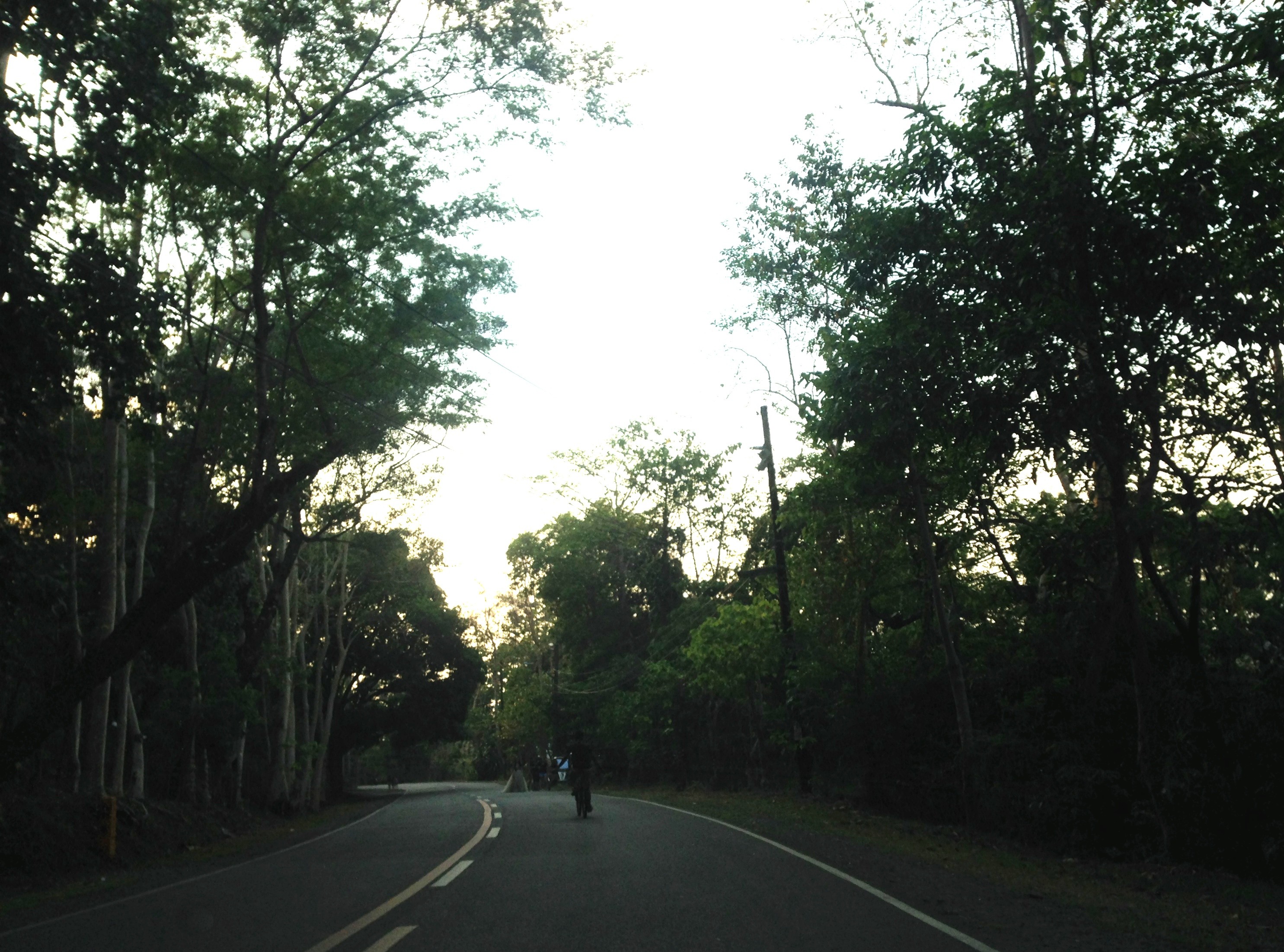


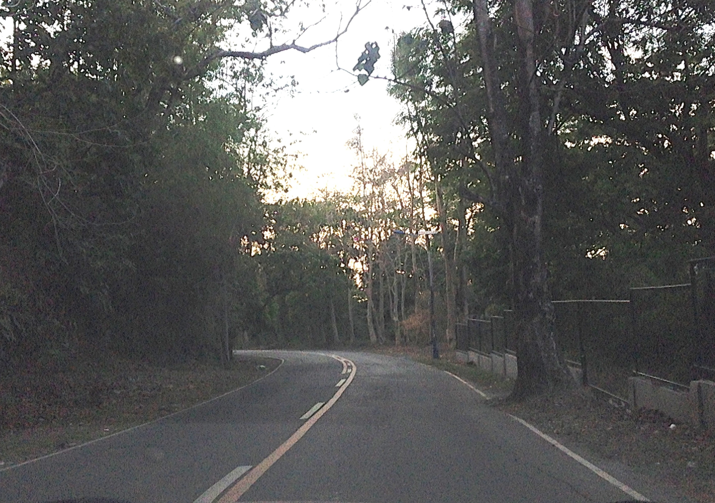
At right in the photos is a fenced property designating the Hinulugang Taktak National Park. Hinulugang Taktak refers to the water falls that used to be one of the more popular destinations in Antipolo. There is actually a popular folk song inviting people to come to Antipolo (“Tayo na sa Antipolo at doon maligo tayo…”) to enjoy the falls. The falls have deteriorated through the years as it has been affected mainly by the settlements around it. There seems to be an effort to rehabilitate the area but it is still closed to the public. The road though is in excellent condition and has low motor traffic volumes. It is popular among cyclists as well as joggers. This Holy Week, the area should have a lot of visitors because of the Parish church in the area, which has an impressive architecture and gardens. The church is perfect for those doing Visita Iglesia or perhaps people just wanting to go to a quiet place for some meditation and prayer.
–
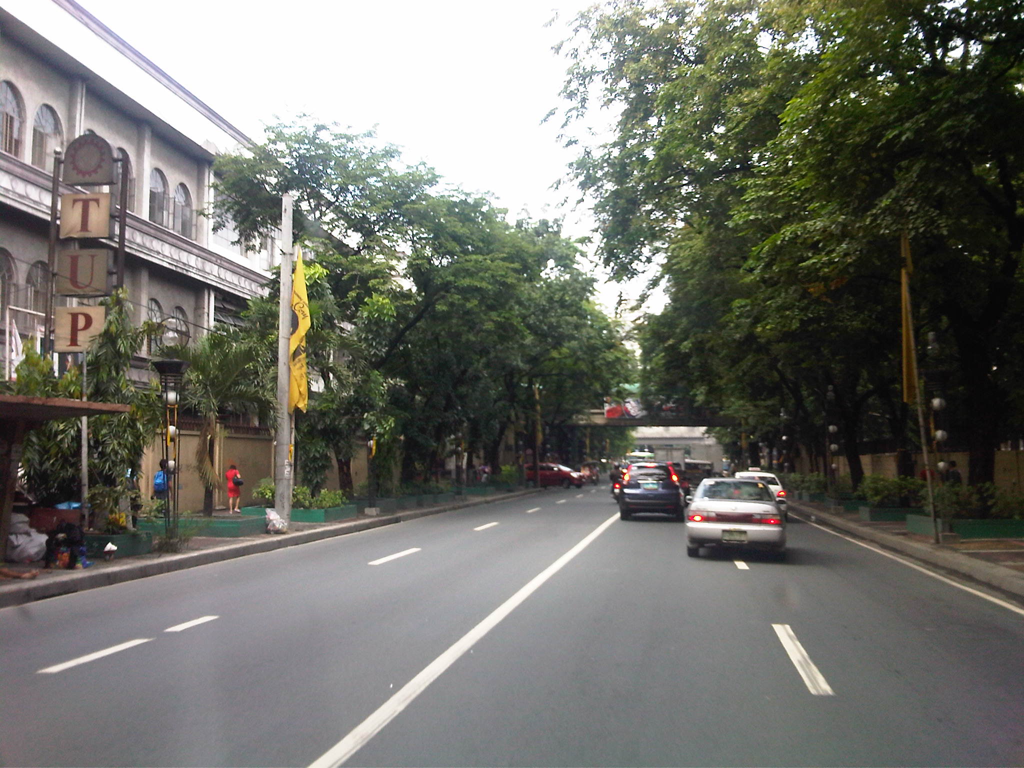
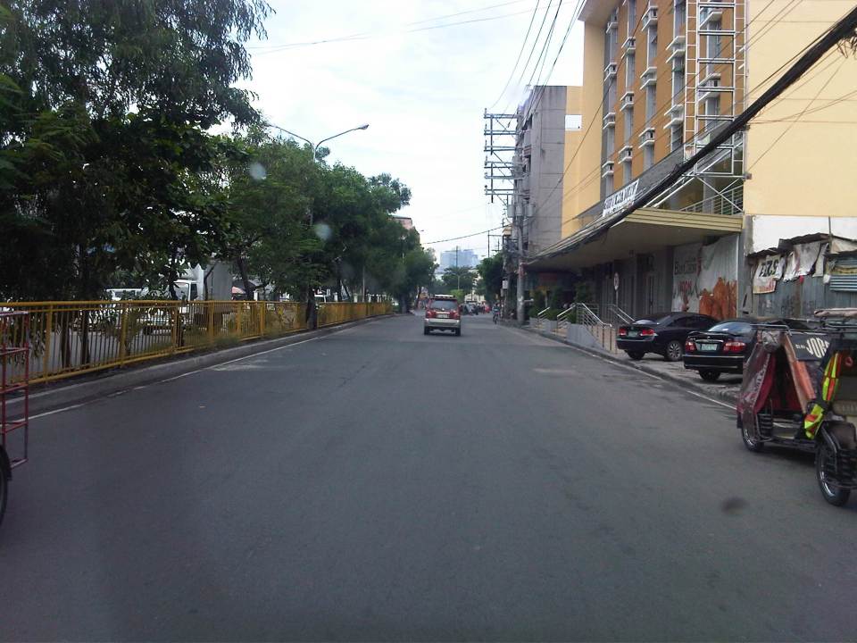
P. Casals Street and Ayala Boulevard
This is a continuation of an earlier post about Manila streets. Legarda eventually becomes Pablo Casals Street and then Ayala Boulevard after the Ayala Bridge. There are many prominent academic institutions along the road including the Technological University of the Philippines and the Philippine Normal University.
 Technological Institute of the Philippines (TIP) has a branch along P. Casals St.
 Bridge across a tributary to the Pasig River is full of shanties. This is in the San Miguel district of Manila that is near Malacanan Palace. It is between the Quiapo area and the Palace and the tributary leads to the Golden Mosque to the right.
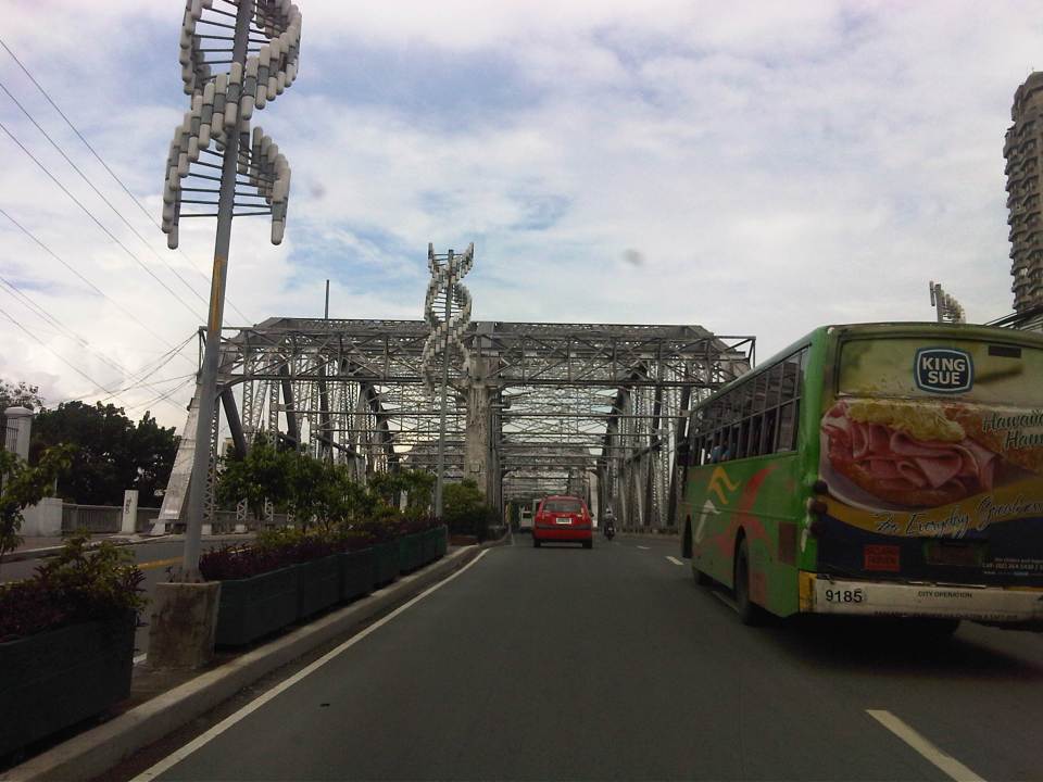 Ayala Bridge where P. Casals Street ends and becomes Ayala Boulevard on the other side of the Pasig. I think the street lamps are quite odd and more decorative than functional. I’ve seen these at night and they look more like lanterns than street lights. At one side of the bridge (on the left in the photo) is the Isla de Balut and the Hospicio de San Jose.
 Ayala Boulevard is a 4-lane, undivided road. The southwest direction (downstream) leads to Taft Avenue.
 Just pas the bridge is an intersection with San Marcelino Street, which is part of a major truck route. Along San Marcelino is Adamson University and what was the old St. Theresa’s College Manila campus whose buildings have been integrated with Adamson.
 There are two major institutions of higher learning along Ayala Blvd. These are the Technological University of the Philippines and the Philippine Normal University.
A bit of trivia: These institutions (TUP and PNU) together with the University of the Philippines (UP) and the Polytechnic University of the Philippines (PUP) formed the pillars of professional and technical education introduced by the Americans to a post-Spanish Philippines. TUP used to be the Manila Trade School (1901) and then the Philippine School of Arts and Trades (1910) under the Americans. The PNU was Philippine Normal School during the American Period (1901) and later became the Philippine Normal College after the Second World War (1949). The PUP was the Manila Business School (1904) and later the Philippine School of Commerce (1908) during the same period. The University of the Philippines was the first state university established by the Americans in 1908. TUP was established to provide education and training in various trades (vocational school). The PUP was established to provide education and training for business/commerce. The PNU was established to provide education and training for teachers. And UP was established to provide education and training to professionals in the fields of engineering, law and medicine.
–
Streets of Intramuros: Solana Street
I’m posting more photos of the streets around Mapua and Lyceum. Solana Street is behind Mapua and practically runs parallel to Muralla Street. The southeast end of the street is at its junction with Victoria Street at the Manila Science High School while the northwest end is at the junction with Muralla St. and Andres Soriano, Jr. Ave. at Plaza Espana, where located are the ruins of the Maestranza and the Intendencia.
 Intersection of Solana Street with Beaterio Street with an informal pedicab terminal at the corner.
 Real Street (view towards the southwest) as seen from Solana Street
 A newly built or renovated building is at right across from Mapua. There are many buildings hosting dormitories or rental rooms for students in the area. This is similar to buildings near institutions in the University Belt area where now stands many high-rise condominiums also catering to students.
 Intersection of Solana Street with San Francisco Street (left), which leads back to Muralla Street and the Lyceum.
 Intersection with Sta. Potencia Street – we caught an amusing sight of these two people who appear to be compacting the asphalt concrete transition between Solana’s lower pavement surface elevation with the Sta. Potencia’s new PCCP.
 Vehicles parked along Solana Street and behind the Mapua Institute of Technology
 Approaching the intersection with Victoria Street, one sees many signs of businesses geared towards the academic nature of institutions in the area (e.g., photocopying, bookbinding, computer rentals, etc.). The building on the left is Mapua’s while the ones on the right include dormitories or rental apartments on the upper floors.
–
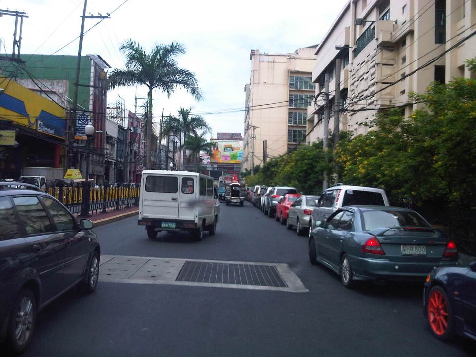
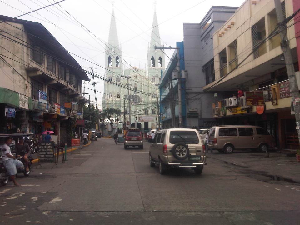
Another look at traffic along Morayta, Recto and Legarda
Heading to another appointment one morning, our driver avoided Quezon Boulevard and the Quiapo area, which we learned later had serious flooding at the underpass. Our driver said we were actually waved off by a traffic enforcer from heading into Quezon Blvd. to head instead towards Morayta and Recto. And so I decided to take some new photos along our way, which took us to Morayta, Recto, Legarda, P. Casals and Ayala Blvd.
 Morayta Street with the Far Eastern University (FEU) at right is part of an area that is called the University Belt because of the academic institutions located in the area including several major universities like FEU, the University of the East (UE), the University of Sto. Tomas (UST), San Sebastian College, San Beda College, Centro Escolar University and College of the Holy Spirit.
 On-street parking along Morayta Street – there should be parking fees for such spaces in Manila since vehicles significantly reduce road capacities and cause congestion. These streets are public spaces and should benefit the general public and not just a few people who happen to have cars but no parking space in an area where space is very limited and therefore valuable.
 Approach to intersection of Morayta with Recto Avenue.
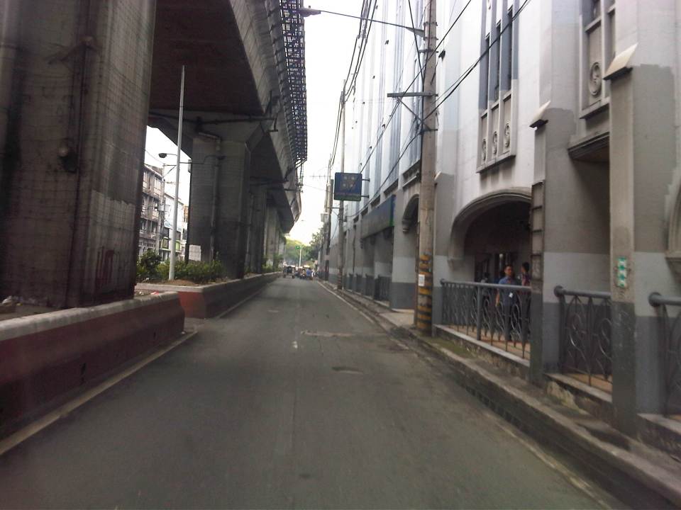
 Recto Avenue eastbound with the elevated tracks of the LRT Line 2.
 Approach to the intersection of Recto with Loyola Street. San Sebastian College is just after the signalized intersection. The pedestrian crossing is for people crossing to or from the University of the East, which is on the other side of the road.
 The alignment of the LRT Line 2 led to its posts dividing the eastbound lanes of Recto for the section between Loyola Street and Legarda. San Sebastian College is at right with its arcade walkways.
 The divided eastbound lanes of Recto merge at the approach to the intersection with Legarda and Mendiola.
 That’s Mendiola from across our turning vehicle with San Beda College on the left and a branch of Jollibee obscuring a view of Centro Escolar University at right.
 Southbound lanes of Legarda in the general direction towards Arlegui Street. There are many new buildings along the street including the one on the right, which replaced what were already decrepit buildings and houses. Some of these houses probably had historical value but were demolished nonetheless after the property was sold to more enterprising people.
 A peak at San Sebastian Church from Legarda and downstream along Bilibid Viejo Street. This image has been captured in many photos and drawings from the time it was completed during the last years of the Spanish period, to the American period until the present.
 Legarda ends at its intersection with Nepomuceno and Concepcion Aguila Streets where the most prominent landmark is the National Teachers College. Here, Legarda becomes Nepomuceno and proceeds towards Arlegui and P. Casals.
–
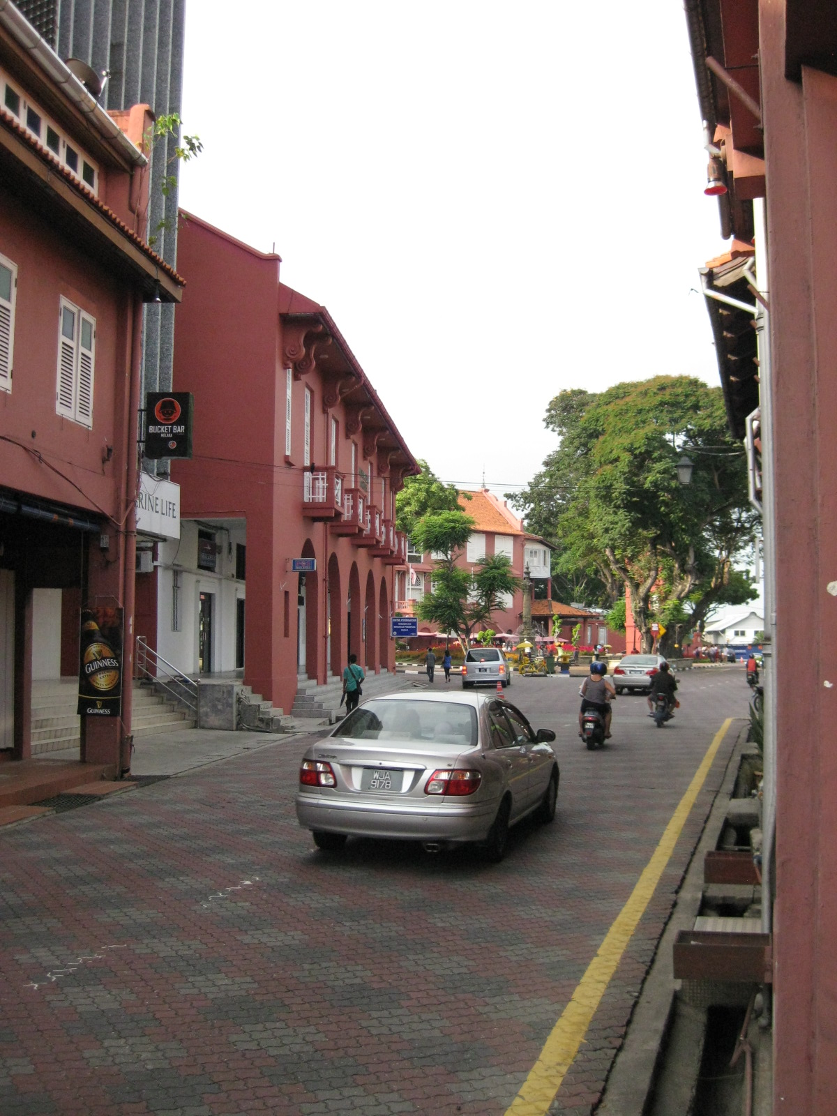
The streets and sidewalks of Melaka
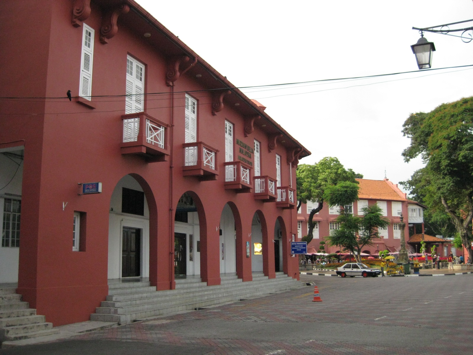 |
| View towards the plaza – the red building is part of the Christ Church complex but is now home of the Melaka Post Office |
 |
| The walkways reminded me of similar forms in Manila, Cebu and Iloilo, all old cities established during the Spanish Period when Melaka was under the rival Portuguese. |
 |
| The pavement was tiled but well-maintained |
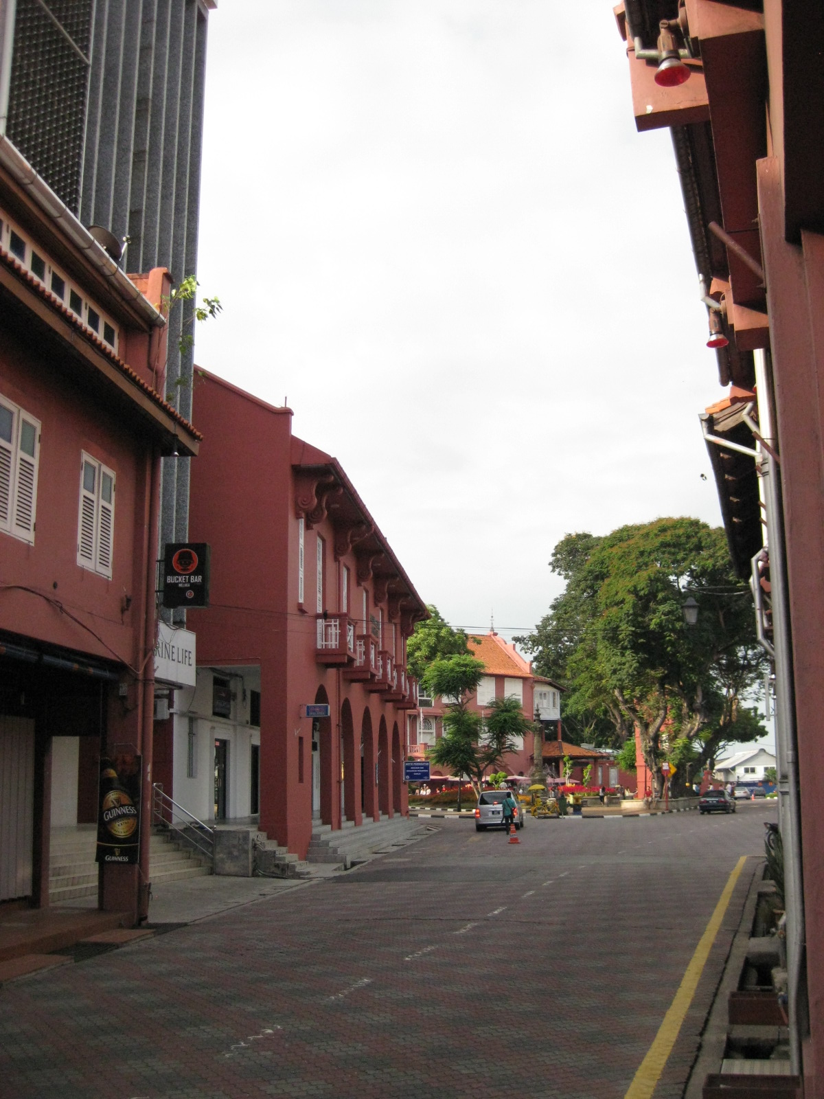 |
| Traffic was light so one could get a good shot of the street leading up to the plaza. |
 |
| The street leading to St. Francis Xavier made me imagine how old cities in the Philippines would have looked like if those cities made an effort to preserve heritage and controlled motor vehicle access to their street. |
 |
| Some buildings have been converted to restaurants and bars but they retained their nostalgic features and feel. |
 |
| Melaka made sure their signposts and lamps were designed consistent with the ambiance of the heritage city |
 |
| Another shot of the seemingly endless walkway beneath the buildings. |
