
Home » Highways and Streets (Page 27)
Category Archives: Highways and Streets
Scenes along EDSA
The following photos are just takes on EDSA during one of those trips from a meeting to go back to the university. The pictures show what we encounter everyday along what may be the busiest thoroughfare in the country. Of course, it goes without saying that similar scenes are also observed along other roads including expressways.
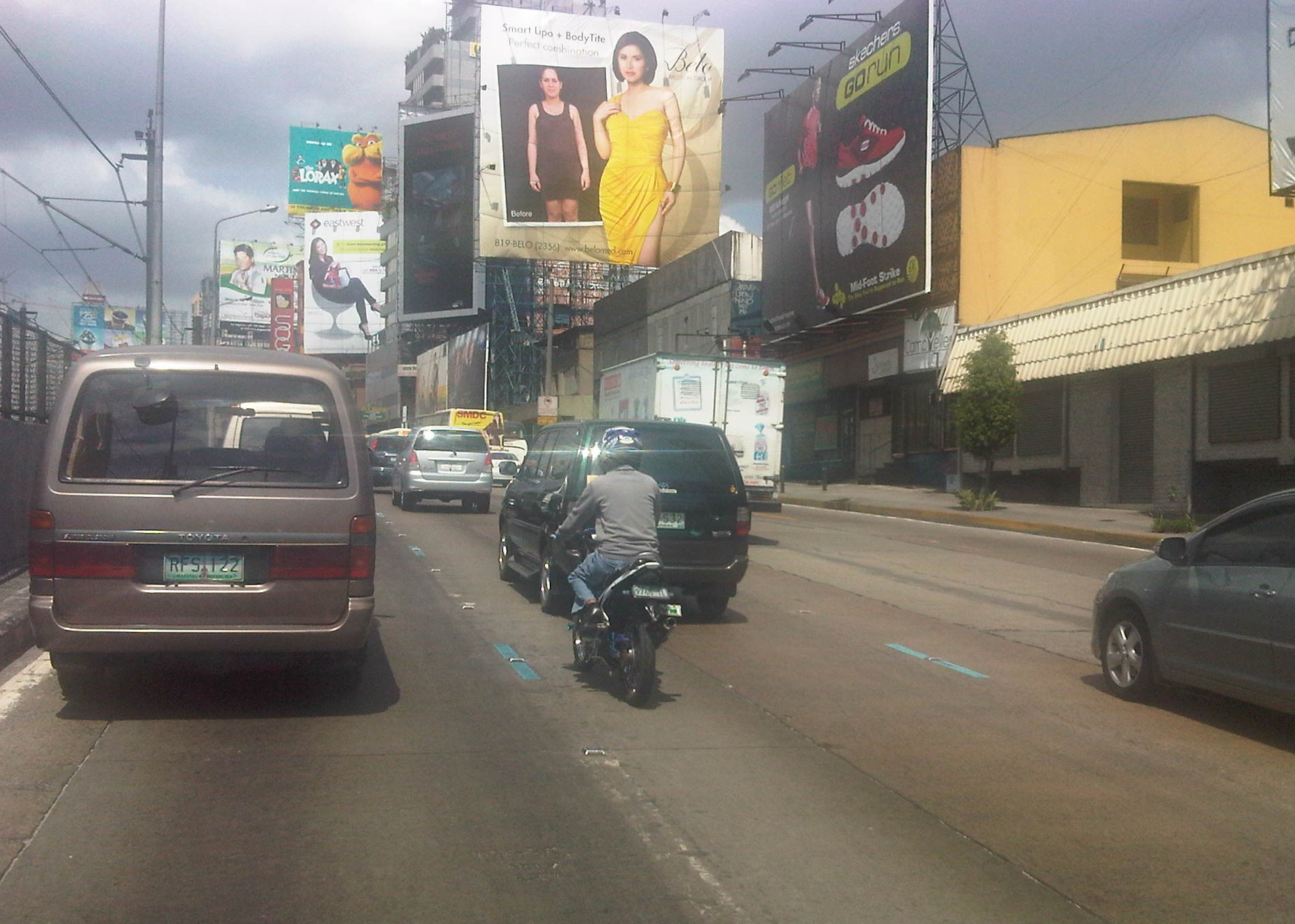 Visual noise – the billboards along EDSA remain to be a source of “visual noise” as some architects and planners refer to their proliferation. There are a huge concentration of these billboards in the Guadalupe area including LED screens that literally light up the road. Not a few people including MMDA Chairs have called for the removal of the billboards or at least regulating their content. With summer approaching fast, the models might have lesser clothing on them and become more of distractions for motorists and riders.
 Motorcycle lane – the imposition/implementation of motorcycle lanes along EDSA has received mixed feedback from various sectors. Unlike Commonwealth, EDSA’s traffic is significantly higher and the latter has less lanes and so during peak periods, there is no choice for motorists but to use the motorcycle AND bus lanes. The result is a chaotic mix of vehicles jostling for road space especially along areas where bus stops are located.
 NMT lane-splitting – I was fortunate to be able to capture this scene where a man on bicycle splits the lane along EDSA. The lane here is actually part of the 2 outermost lanes designated for buses (yellow lanes). However, in the vicinity of intersections, private vehicles are tolerated to use the lanes as the turn into or off from EDSA. I don’t think there is good data on how many bicycles travel along EDSA (or sections of the highway) everyday. This would be an interesting statistic that could enable us to determine the demand for cycling along this highway.
–
Lane separators along Commonwealth
The MMDA and the DPWH are currently constructing what they term as lane separators along Commonwealth Avenue. These are concrete islands very similar in form to curbs, whose function is to delineate the outer lanes of Commonwealth. These will physically separate public utility vehicles from motorcycles and most private vehicles who generally use the middle and inner lanes. There are, however, early criticisms due to what is perceived as an increased risk for crashes due to the separators themselves. Some motorcycle groups have already expressed their apprehensions about the facilities that were supposed to protect them from aggressive PUVs. Meanwhile, one DPWH official was interviewed and proudly claimed the safety features of the separators including their being unmountable by large vehicles. From the height of the separators shown in the following photos, I am not so sure that these devices can stop trucks or buses, even jeepneys or cars from going over the other side.
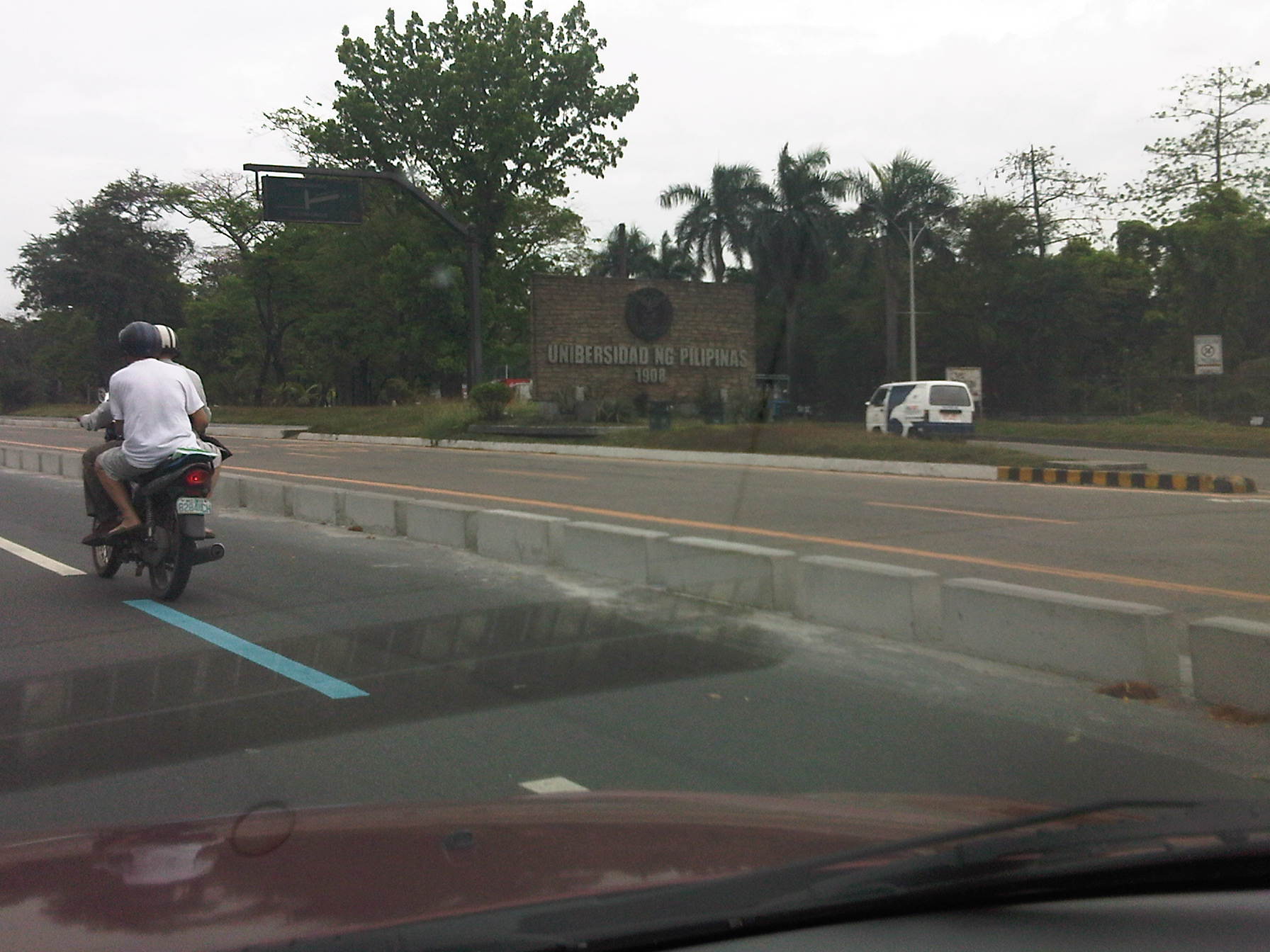 Separation device – the lane separators are basically barriers separating the 3 outermost lanes of Commonwealth from the rest. Of these 3 lanes, 2 are designated for public transport (yellow lanes) and one for private vehicles. The lane immediately to the left of the separator is the motorcycle lane. Note the blue lane marking denoting the MC lane.
 Service road – the separators practically create a service road along Commonwealth where PUVs and some private vehicles will travel along. Drivers and riders who intend to make right turns should shift towards the inner lanes through one of the relatively narrow slots along the separator line.
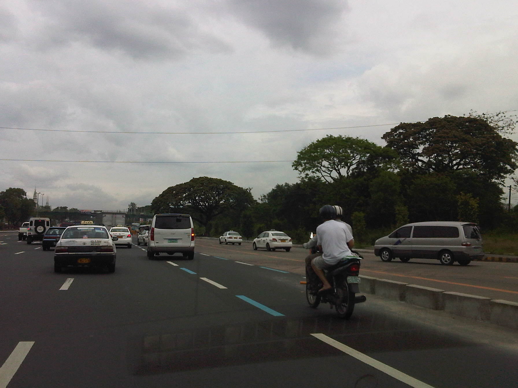 Small window of opportunity – vehicles turning from the University Avenue to Commonwealth must weave in traffic as many shift towards the nearest U-turn slot. The separators add another constraint to their movements. There is a similar narrow opening for vehicle turning towards the University Avenue from Philcoa but this can be quite tricky with the speeds of vehicles as well as the trajectories of those coming from the outer lanes of the mall to merge with the main flow along Commonwealth.
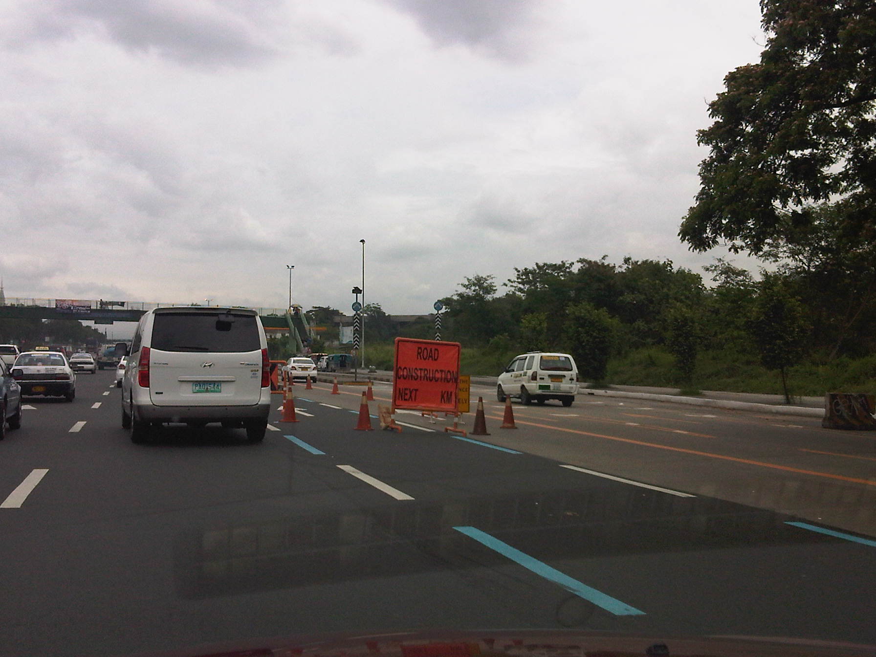 Under construction – tarpaulin sign and traffic cones mark the beginning of an area cordoned for the construction of the lane separators. The separators are supposed to be built along both directions of Commonwealth and may stretch all the way to Fairview. These should also aid traffic enforcers in apprehending PUVs traveling outside their designated lanes.
 Temporary displacement – motorcycles use the another lane as the construction of the separators use up the space of the motorcycle lane. Riders have become accustomed to using the lane from the time they were first implemented along Commonwealth.
 Now you see it, now you don’t – the motorcycle lane along Commonwealth northbound leads into the stairs of a pedestrian overpass. This necessitates motorcycles to shift towards the lane to their left. The rightmost lanes are for public transport.
 Respect and discipline – Motorcycles now typically use the lane designated for them and fewer vehicles encroach along these lanes for most part of Commonwealth where there are no weaving due to the U-turn slots. The separator will further lessen vehicle intrusions (and lane changing) as PUVs will be confined within the outer lanes courtesy of the separators.
The jury will definitely be out for the concrete lane separators currently being constructed along Commonwealth. It is still early for a fair assessment but many motorists are already pointing out the separators as increasing the risks for crashes. Surely, the MMDA and the DPWH carefully thought this out before its implementation and have the best intentions in favor of road safety. However, even the best intentions can still result in unintended consequences. Hopefully, this is not another case of the latter.
–
Update on the Quezon Ave.-Araneta Ave. underpass
Passed by the construction site of the Quezon Ave. underpass at its intersection with Araneta Ave. last week and took a few more photos showing the progress of work for the underpass. Fortunately, we were riding a bus and our seats provided a good view of the underpass. Following are photos taken last March 12, 2012.
 Heavy equipment along the ramp on the eastbound direction of Quezon Ave.
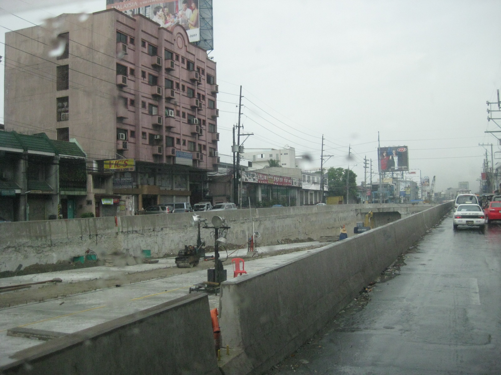 Both directions of the underpass have been paved and the median island is under construction.
 Backhoe at unpaved section of the underpass. The design reminds me of the underpass section along the same Quezon Ave. at its junction with Agham Road. Visible from the photo are braces/anchors embedded into the sides of the walls to reinforce these and prevent collapse.
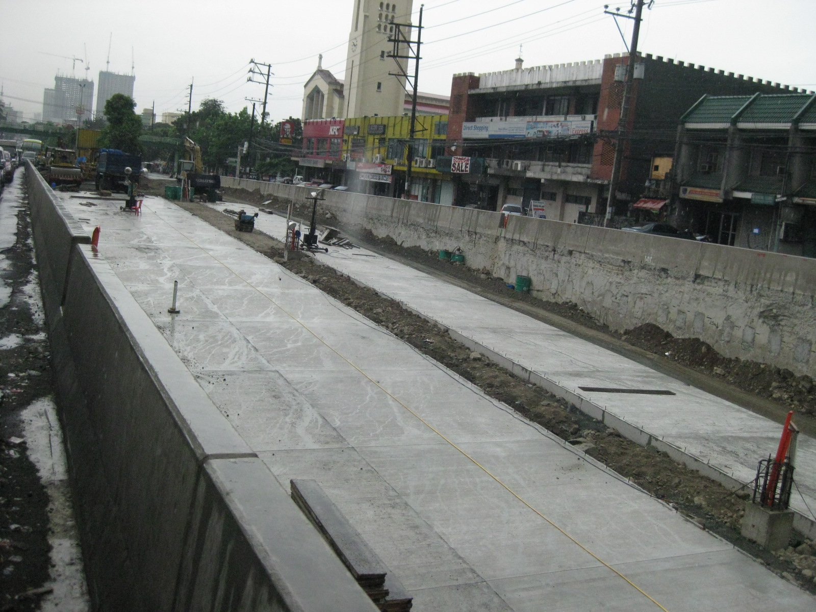 The underpass will have 3 lanes per direction that should be able to handle significant through traffic along the arterial.
 The section past Araneta Ave. is practically complete and retains essentially retains 3 lanes on each side of the original Quezon Ave. Upstream of the junction, there are only 2 lanes available on eaither side of the at-grade section of Quezon Ave.
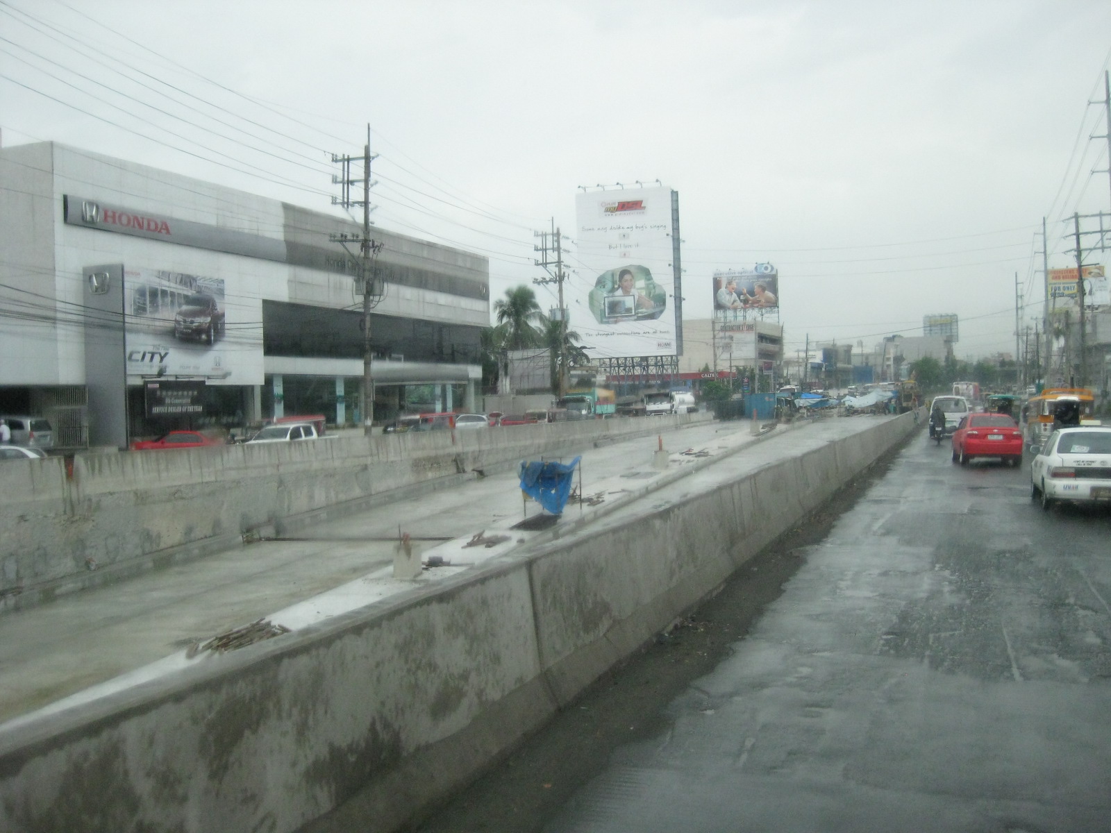 While traffic along the eastbound (to Quezon City) direction is practically free-flowing due to the wide section of the highway downstream, the westbound (to Manila) section is congested.
 Construction materials and workers’ bunkers at the east end of the underpass.
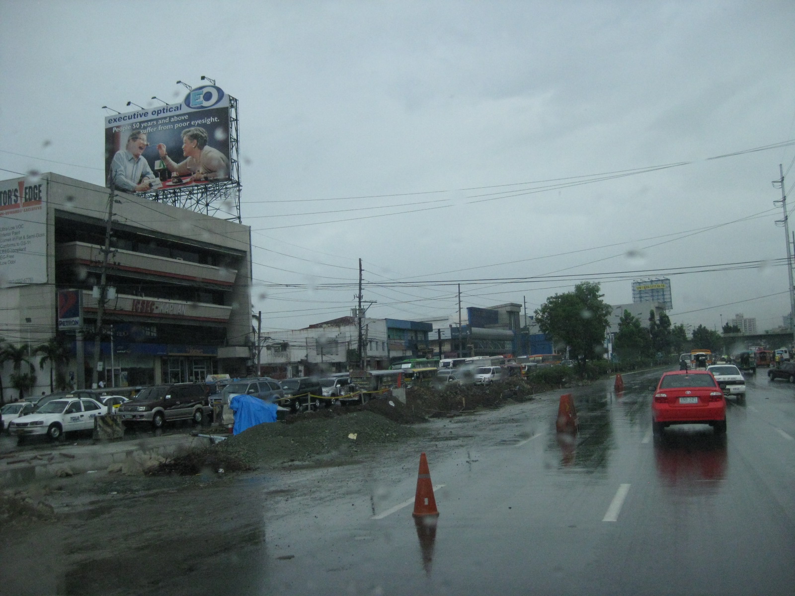 The congestion along the westbound direction extends from the intersection to way past the underpass’ east end. On a bad day, it takes a significant time for travelers to be able to cross Araneta Ave. and towards Manila.
–
Why is Commonwealth still unsafe?
After being branded as a “killer highway” and regarded as the most dangerous road in the Philippines, authorities have scrambled every now and again to come up with various schemes to reduce the incidence of road crashes along Commonwealth Avenue in Quezon City. The highway has been designated as a traffic discipline zone, pedestrian overpasses have been constructed, the speed limit has been set at 60 kph, and a lane has been assigned for motorcycles. All this and still Commonwealth has been assessed to be unsafe.

Why is Commonwealth Avenue unsafe after all the initiatives, all the programs and projects implemented along the corridor? There are many reasons both general and specific. However, let us list only four:
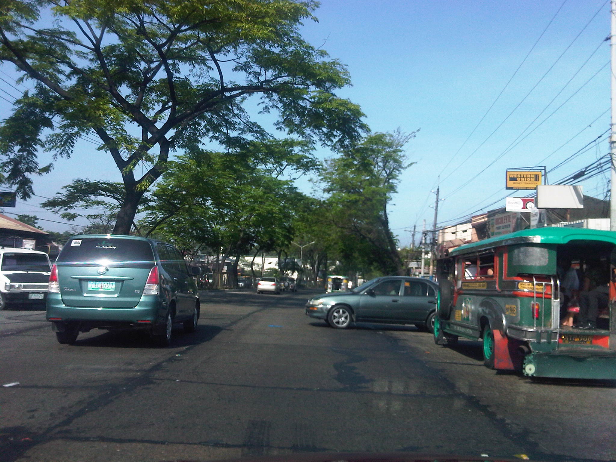
1) Driver behavior – despite all the safety programs, driver behavior (both for private and public transport) has not generally improved. There are still many aggressive and reckless drivers weaving in traffic. PUB and PUJ drivers often exit the lanes designated for them. Private vehicle driver continue to speed above the speed limit, knowing that there is only 1 speed radar deployed along the highway. And drivers continue to use median openings to cross the highway, creating situations with high likelihoods of crashes. Gap acceptance is typically aggressive and driver and riders seem to travel thinking others will just avoid them should there be conflicts along the way.
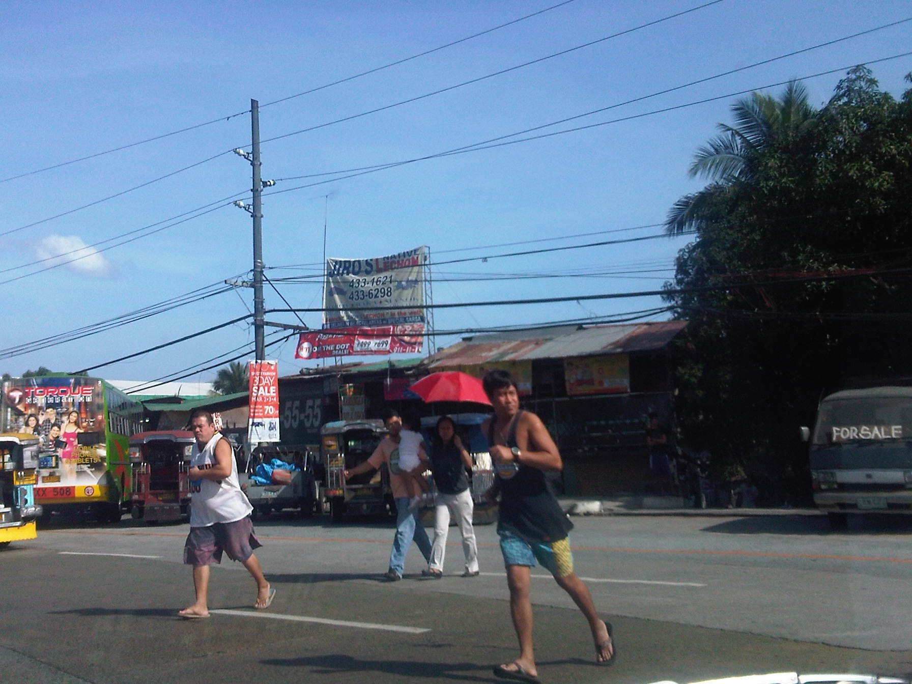
2) Pedestrian behavior – even with overpasses constructed, This is particularly the situation along the section from Fairview Market to Litex where people of all ages continue to cross at various points along the highway, seemingly oblivious to the dangers posed by motor vehicles along the highways many lanes. People seem to be generally unaware or do not care about the risks as shown by the pedestrians below including parents crossing while carrying their child. Jaywalking (or if there is an equivalent running and dodging vehicles) is quite prevalent along Commonwealth despite the construction of several overpasses. One problem, it seems, is the fact that many overpasses are not used because of some design flaws (stairs too steep or have limited capacity) and the propensity for setting up shop right on the overpasses themselves, thereby limiting its capacity for pedestrian traffic.
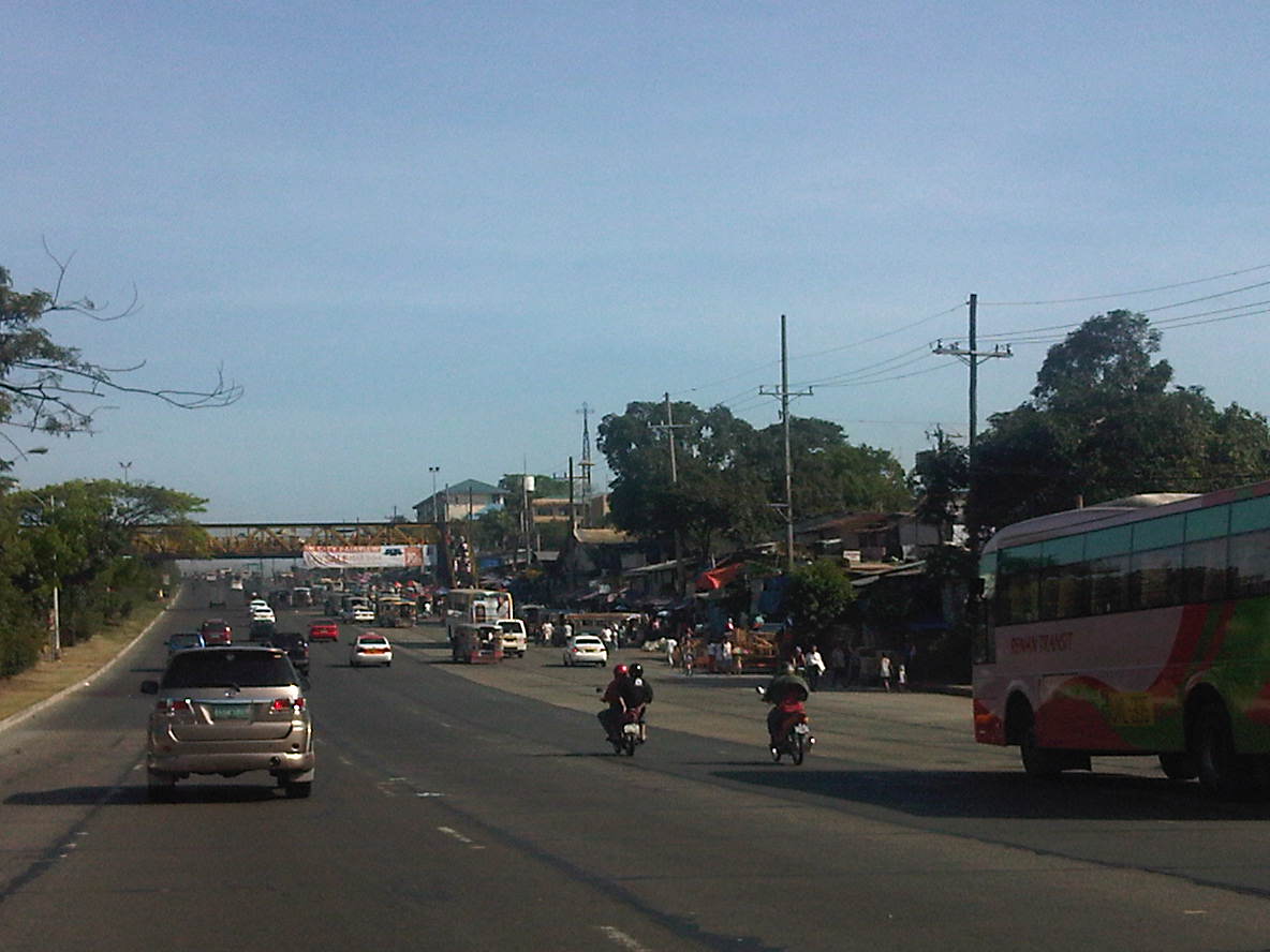
3) Enforcement – let’s be honest and accept the fact that enforcement along Commonwealth is patchy at best. It’s strict only during the initial days of a new program but eventually relaxes. We have a term for this – “ningas cogon.” This applies to both enforcers of the MMDA and Quezon City DPOS and the Philippine National Police. In fact, there are many violations that are taken for granted perhaps for the sheer difficulty of sustaining enforcement efforts. It was mentioned previously that there is still a problem pertaining to pedestrians and such problems that include jaywalking and illegal vendors on overpasses are among those that need constant attention from enforcers. There is also the persistent challenge from public transport that includes racing and the non-usage of lanes designated for them. In the photo below, for example, jeepneys take up the outer lane of the highway, which also happens to be part of the public transport lanes where PUB’s and PUJ’s are supposed to be confined while traveling along Commonwealth.

4) Geometry – the highway is not only too wide but also generally straight and level for long sections. These conditions are perfect for high speed travel and without enforced speed limits will normally tempt a lot of drivers and riders to speed up. This is something that has been well established abroad and can easily be observed along our expressways and national roads where the formula of availability of space (wide roads) plus excellent sight distance combine with aggressive, risk taking driver/rider behavior to result in high vehicle speeds.
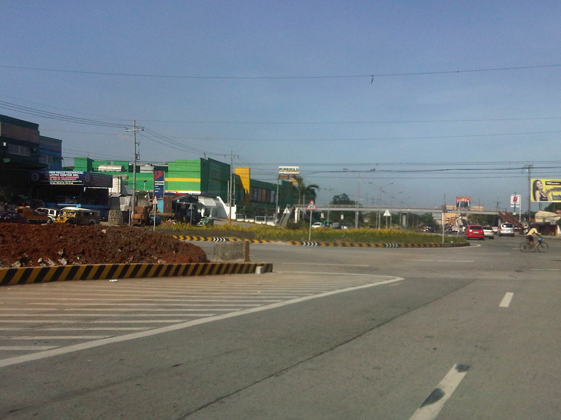
There are also the unusual designs of median openings (U-turns) that were claimed to have taken into consideration vehicle turning radii as well as trajectories along the the highway. Yet, there is the persistent observation that the median islands appear to be “nabubuntis” or getting pregnant based on the bulging island where the U-turn slots are located. U-turns also encourage weaving and aggressive behavior in order to cover the distance and width to a median opening. The non-occurrence of crashes now do not mean they will not occur in the future. These are examples of disasters waiting to happen just like the conditions at the huge roundabout that was constructed along Commonwealth in the Fairview area (photo below) where vehicle movements show motorists generally do not know how to use roundabouts. Thus, you get buses making U-turns and jeepneys and cars doing left turns in this portion of the highway.
Let me emphasize a main point I made in the previous paragraphs: It is not because there are few road crashes occurring (compared with the potential often cited by various parties criticizing the U-turn scheme) that Commonwealth is deemed safe. The fact is that any assessment of the highway will be based on the likelihood of crashes occurring due to the conditions along the road. It is probably by sheer luck that the incidence of fatal accidents is not that high. It is still a case of a disaster just waiting to happen.
There is still much to hope for since the MMDA and others involved continue in their efforts along Commonwealth including the designation of motorcycle lanes and the enforcement of speed limits (despite their limited hardware). These have obviously influenced motorists’ behavior in a positive way along the highway. Behavior change is a very good thing that needs to be reinforced further in order to improve safety along Commonwealth. But constructive and more permanent behavior change with respect to transport and traffic will take time, and efforts need to be consistent, firm and sustained to condition the minds of travelers for this change.
The case for Commonwealth might as well be applied to other roads not just in Metro Manila but throughout the country as well. Much is required in terms of resources and commitment to effect significant changes that will lead to the improvement of transport and traffic conditions. And yet the treatments are often generally varied, each city going about its own ways despite good practices available for adoption or adaptation. Perhaps the lessons from Commonwealth will be applied elsewhere, or perhaps not. Let us just hope that it won’t go the way officials in other cities jokingly say about traffic schemes in Metro Manila – “We observe what they do in Metro Manila and then we don’t do it here.”
–
Cagayan Valley Roads – Part 1
The Cagayan Valley Road is part of Asian Highway – 26 (AH-26) and the Pan-Philippine Highway. I have had only three opportunities to travel along this road and only once so far was I able to cross into Nueva Vizcaya, Isabela and Cagayan. Two previous trips have only taken me as far as San Jose City in Nueva Ecija. When the chance to travel to Tuguegarao, Cagayan came up one time, I didn’t hesitate to volunteer and opted to take a road trip in order to have the best view of the land and points of interest along the corridor.
 Tree-lined roads – from Gapan, Nueva Ecija, one is treated to sections lines with old trees. Sections generally have good asphalt pavements but markings are badly faded or non-existent.
 Traffic is generally very light between towns and there are even few tricycles, the ubiquitous paratransit that is usually the mode of choice for local commuting.
 Aside from the absence of pavement markings, there is also a dearth of road signs. While it may be reasoned that these are unnecessary due to the light traffic, there are minimum signs and markings required for such roads to guide motorists.
 The only thing or things missing along this section are chevron signs to guide motorists negotiating the curve. Of course, in other places in the country the chevrons can be quite excessive.
 Minimum required signs and markings along curves are shown in the photo with the double yellow indicating no passing along both sides of the road. Signs should, however, be free from obstructions. such as the makeshift fence of houses along the highway.
 The solid yellow along the broken white lines states that motorists are prohibited from passing along the lane on the right using the left lane. Vehicles on the left (opposing traffic in this case) may overtake using the right lane.
 Many sections have limited sight distance while having excellent pavements and markings. The sign on the right informing motorists of the curve ahead is damaged and needs to be repaired or replaces.
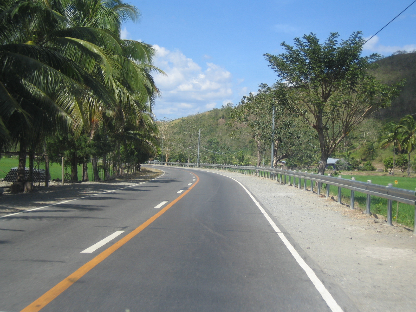 Scenes like these belong to coffee table books about rural roads. Unfortunately, there should also be signs along the road to guide motorists.
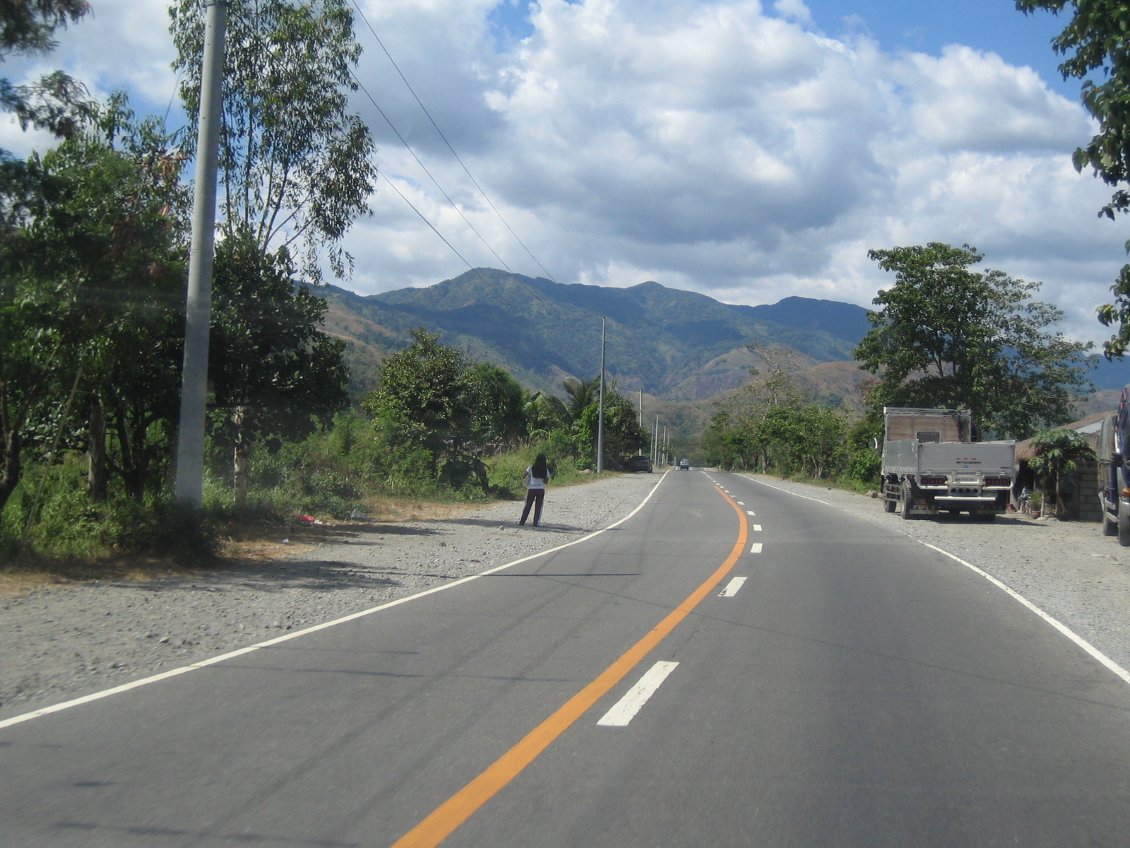 In this case, vehicles along the opposing lane are prohibited from overtaking. Vehicles along ours may overtake slower moving traffic.
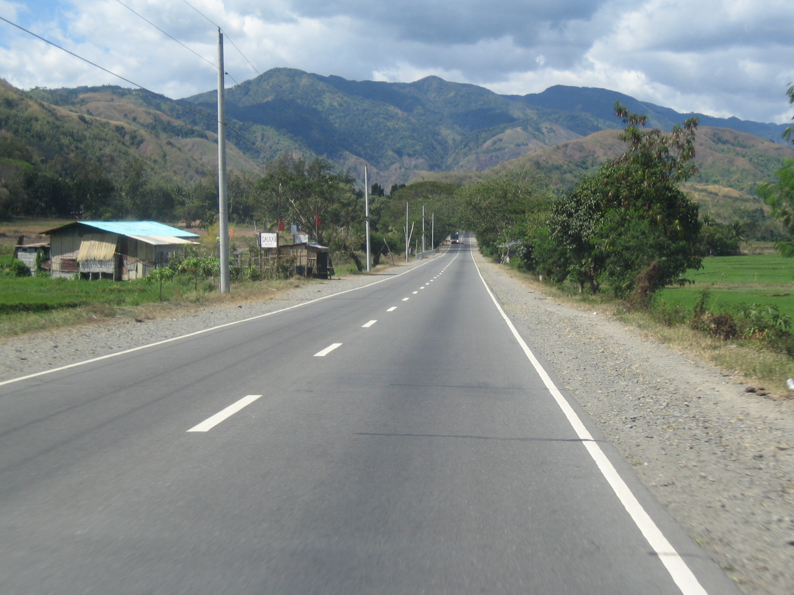 Sections like this where sight distance is excellent is ideal for passing. Travelers should enjoy the view of the countryside and the mountains up ahead. Sadly, the mountains have much fewer trees after years of illegal logging that have exhausted our timber resources. These have remained generally unaddressed to this day.
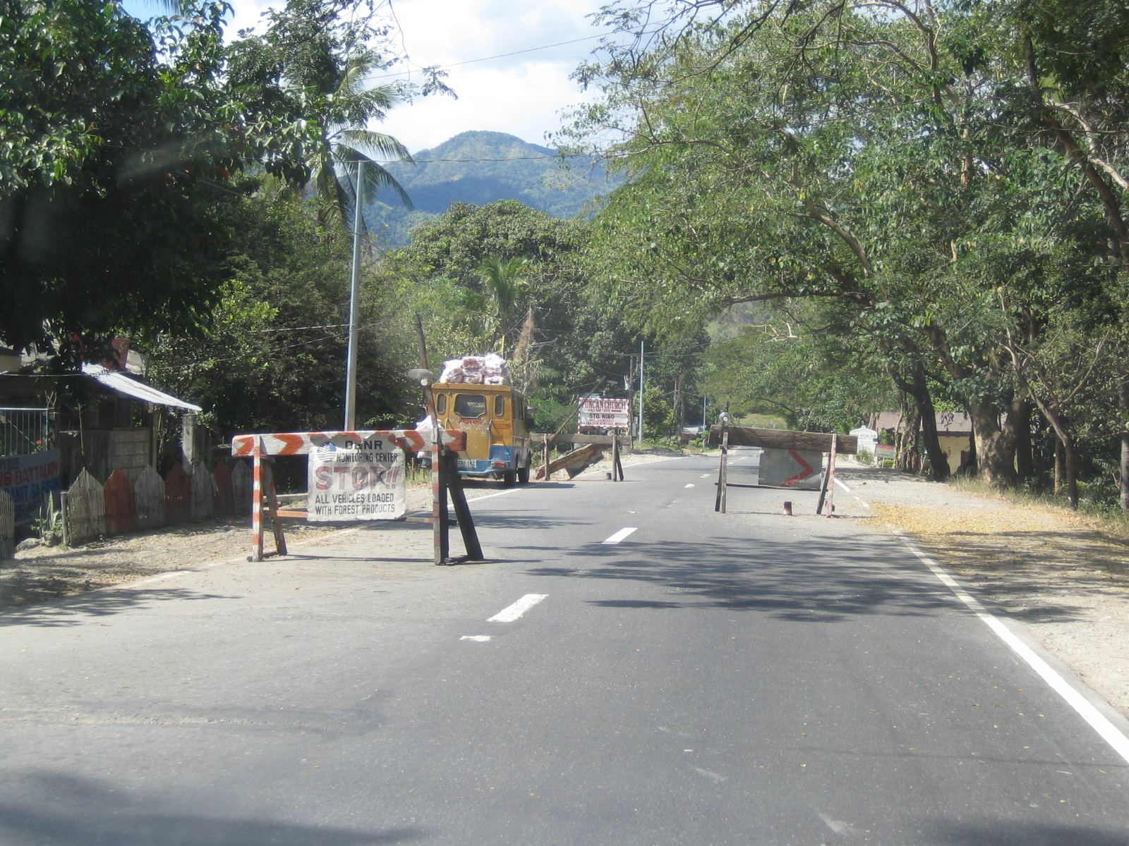 Barriers set up by locals to slow down traffic – there are similar others placed on the road by the PNP, the DENR and barangays for various reasons including checkpoints for illegal logs, firearms, etc. While mostly for good intentions, these can become hazards along the road especially at night when the highway is generally poorly illuminated.
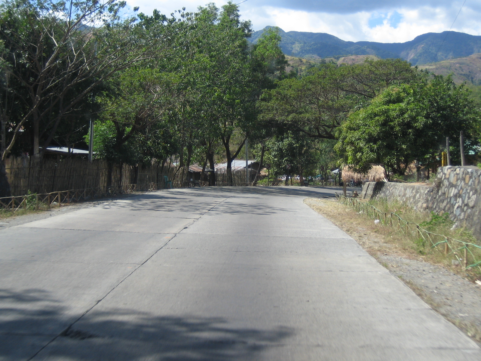 In addition to many sections not having standard markings and road signs, shoulders are practically non-existent partly due to encroachments on the ROW.
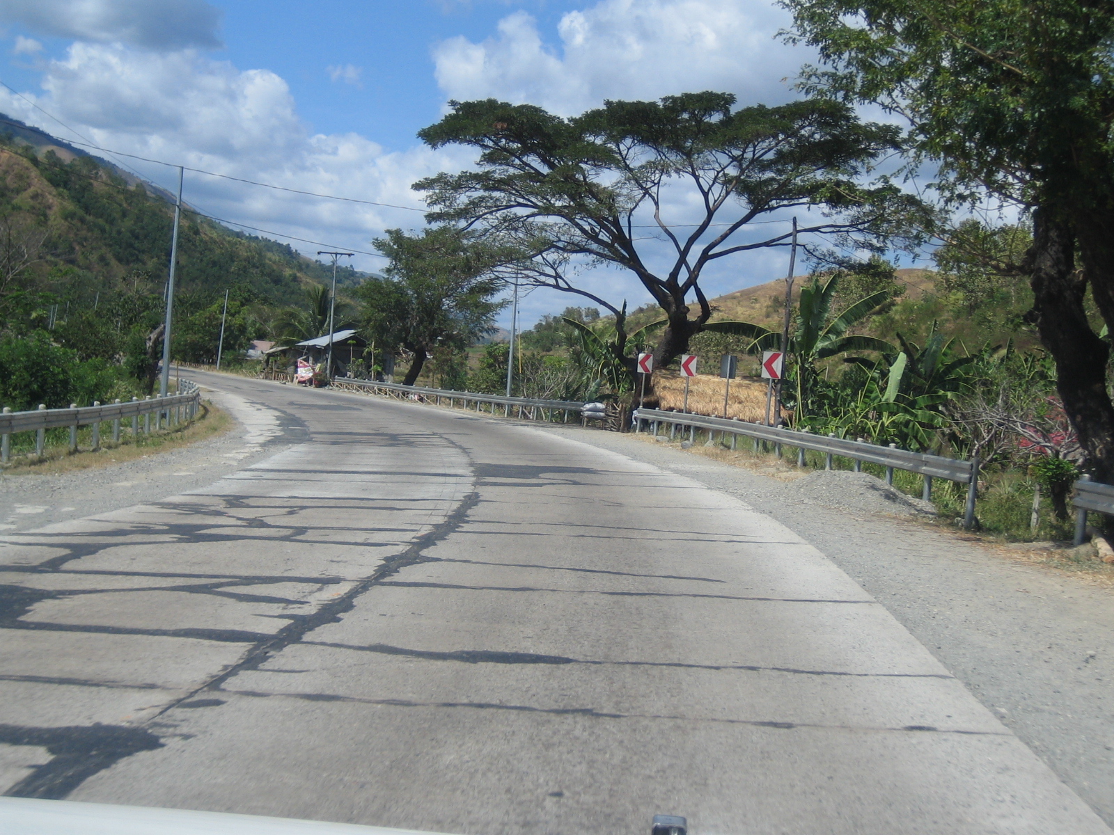 Marginal maintenance of roads is quite common where cracks are often addressed by asphalt seals. Several of the chevrons along this section have been taken by vandals with only the posts remaining along with 3 signs.
 Poorly maintained section where the pavement already needs to be rehabilitated, i.e., “re-blocking” as it is often called is necessary for many sections where there is also a need to re-assess the base or sub-base layers.
 Many sections have large cracks like this section. I took a photo of this also because of the old signs warning motorists of the reverse curve ahead and the speed limit of 30 kph. I doubt that the speed limit is enforced or followed by drivers and riders but the section is even more dangerous because of the plunge on one side and the barriers seem inadequate for preventing vehicles from taking off from the highway.
 There are wide shoulders along the road for layovers of truckers and other motorists seeking some rest from a long travel. There are usually stores or eateries here where people can purchase some refreshments.
 Trucks parked along the road – there are common areas where truck crews rest or have quick maintenance checks for their vehicles. There are typically repair and vulcanizing shops along these highways.
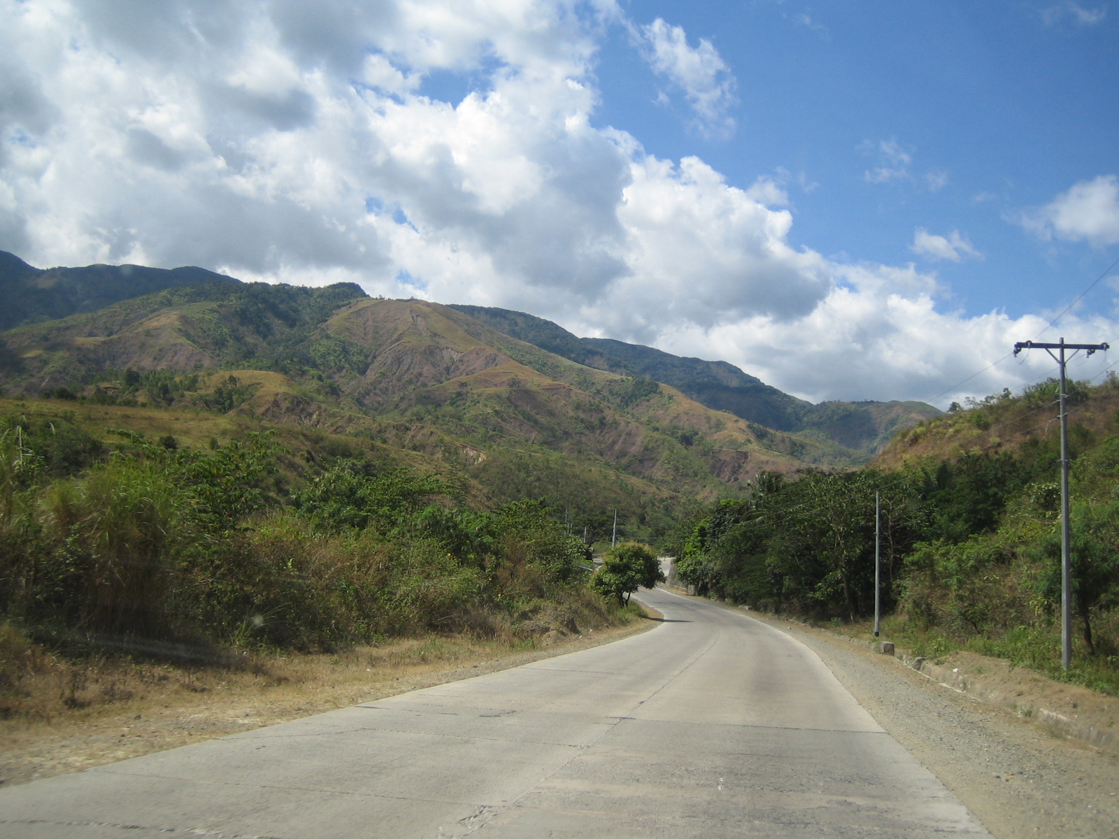 The long and winding road – sections like these could have been more dramatic if the mountains actually had trees. Needless to say, there are no pavement markings and signs along this section.
 These mountain sections have been improved to include shoulders that are wide enough for traffic to use them as climbing lanes.
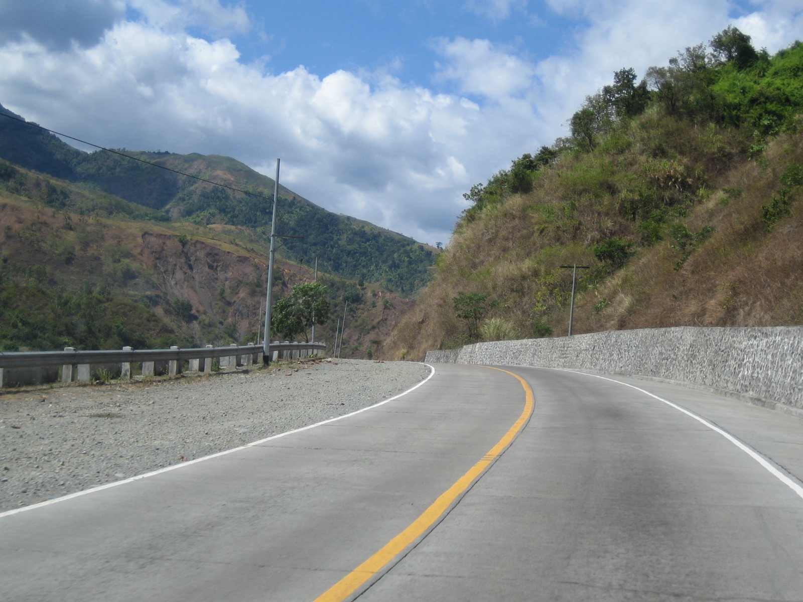 The shoulder along the outer edge of the highway is wide enough to allow for enough space for recovery or emergency stops. I am not sure though if the barriers are adequate for preventing vehicles from going over the ravine on this side of the road.
 The drive along this highway was quite educating with respect to the varying conditions along our roads and the environmental impacts of deforestation. The climates here could have been cooler and the air fresher if the mountains had much more trees than what remained.
 Along the way you encounter the occasional provincial bus – these are actually scheduled services by companies like Victory Liner, Florida, Baliwag, JAC Liner, etc.
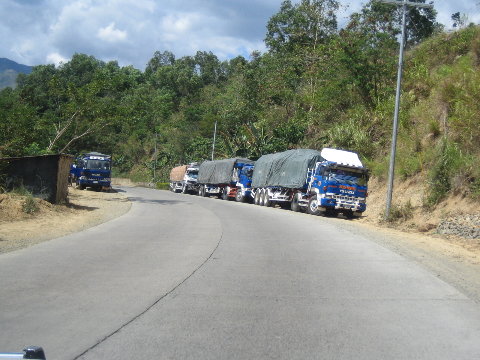 Trucks parked along the highway – truck crews generally take rests on long trips and would usually time their travel to factor in the truck bans in some towns along their routes and in Metro Manila as well. It is usually difficult for them to travel continuously during the day as they are slowed down not just by the terrain but by local traffic (e.g., tricycles).
 Unmarked – some sections have good pavements but don’t have standard markings. At the minimum, centerline and edge markings are desirable for such sections.
 Slow climb – travel can be significantly slowed down by trucks negotiating the slopes. Trucks laden with goods are usually hindered by their loads as they would have to overcome gravity. In many cases, these trucks may be overloaded, making their engines work more to be able to carry their weights.
 Passing maneuver – fortunately, traffic is generally light to make it possible for vehicles to pass slower moving ones. Note that there are no pavement markings to guide motorists along this section.
 Typical horizontal curve with limited sight distance – such sections are quite common along the highway since due to the mountain ranges on this side of Luzon Island.
 No signs? – while there are pavement markings along this section, the centerline marking should have been a solid yellow to discourage overtaking prior to and along the curvature, especially since sight distance is very limited by the terrain and the foliage. There should also be traffic signs to inform motorists of the approaching section and to guide drivers as they traverse the segment.
 Similar road section along the highway – shoulder along the opposing lane is narrow and sight distance is limited by trees and other growth along the inner part of the curve.
 Slope protection – the concrete wall was apparently constructed to prevent landslides or rockslides along this section of the highway.
 Trucks generally require enough space to turn and curves seem to be adequate for the turning radii of most types of large trucks using the highway.
 Reverse curve – this unusual section includes a concrete barrier to prevent wayward vehicles from going off the road and flying off the cliff on one side of the highway.
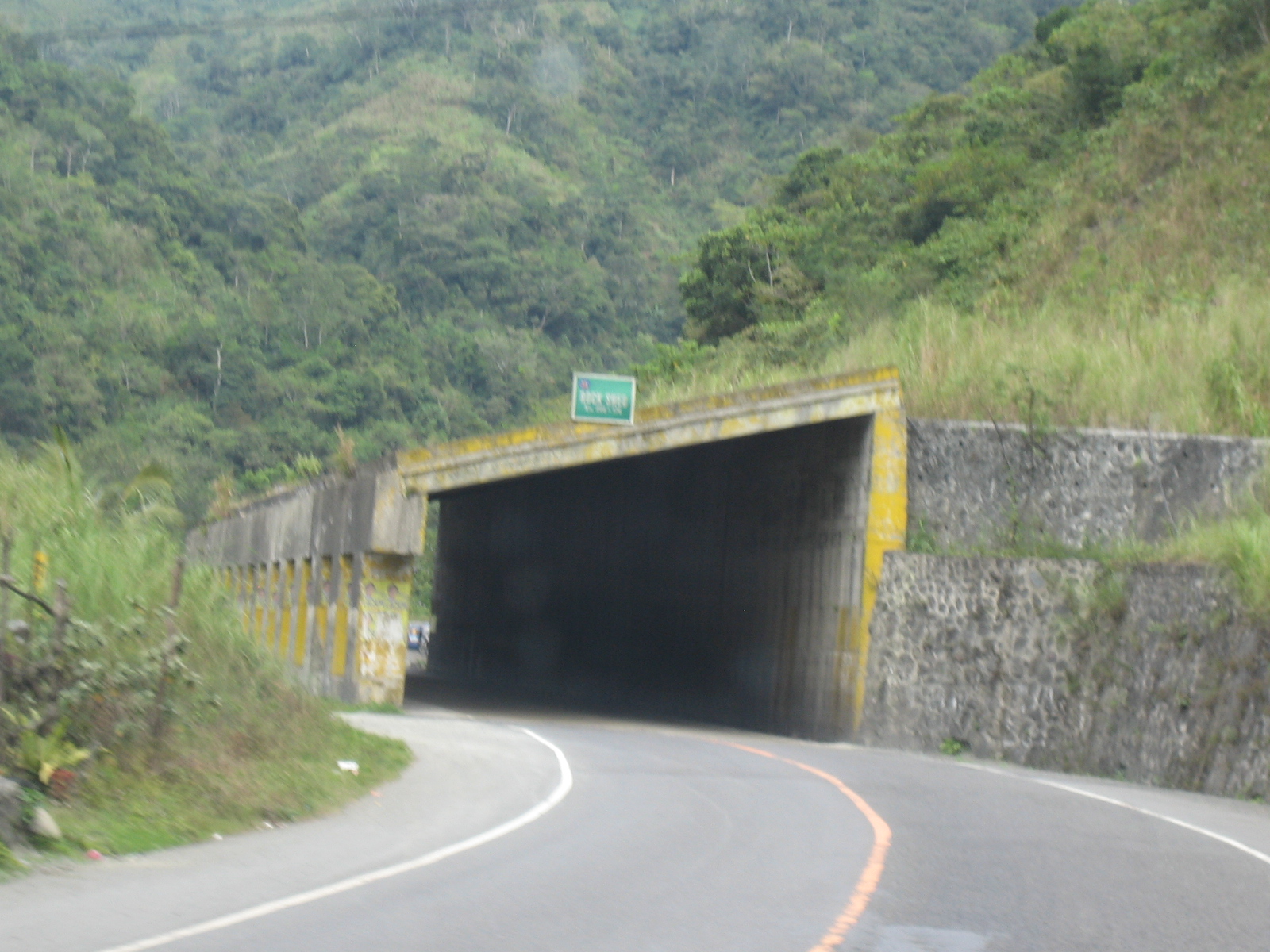 Engineers designed and constructed this section with a roof to protect the road section from landslides or rockslides. One will find similar structures along Marcos Highway on the road to/from Baguio City.
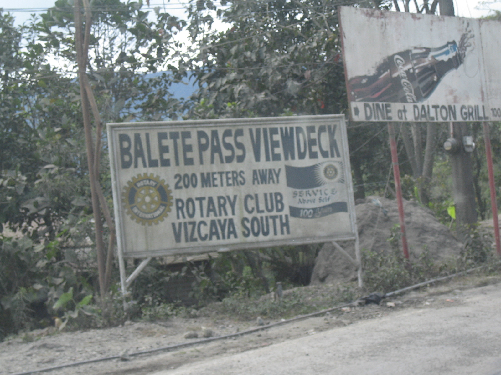 Sign by an organization informing motorists of the view deck along Balete Pass coming up along the road. There should be a standard sign for such attractions along our national roads. Perhaps there is already one erected in the area considering this photo was taken about 5 years ago.
Upon entering the province of Isabela, we decided to take the alternate route to avoid what we anticipated as heavy traffic along the towns and cities including Santiago and Ilagan. I will feature these sections in a future post that will serve as a sequel to this one.
–
The STAR Tollway
The Southern Tagalog Arterial Road (STAR) Tollway connects the province of Laguna with Batangas, stretching from the SLEX extension in Calamba, Laguna to the spur road along Sto. Tomas and on to Batangas City. It has been the subject of criticism for being unsafe and this is for many reasons. Such include the fact that a significant part of the tollway is 2-lane and undivided like most national highways around the country. Fortunately, however, there seem to be few road crashes being reported along the tollway. This is probably due to the relatively low traffic volumes observed along the STAR combined with motorists being aware of the potential for crashes. Such awareness increases their alertness to situations that can lead to accidents. Following are photos I took almost a year ago during one trip to Batangas City.
 Junction leading to the entrance of the tollway
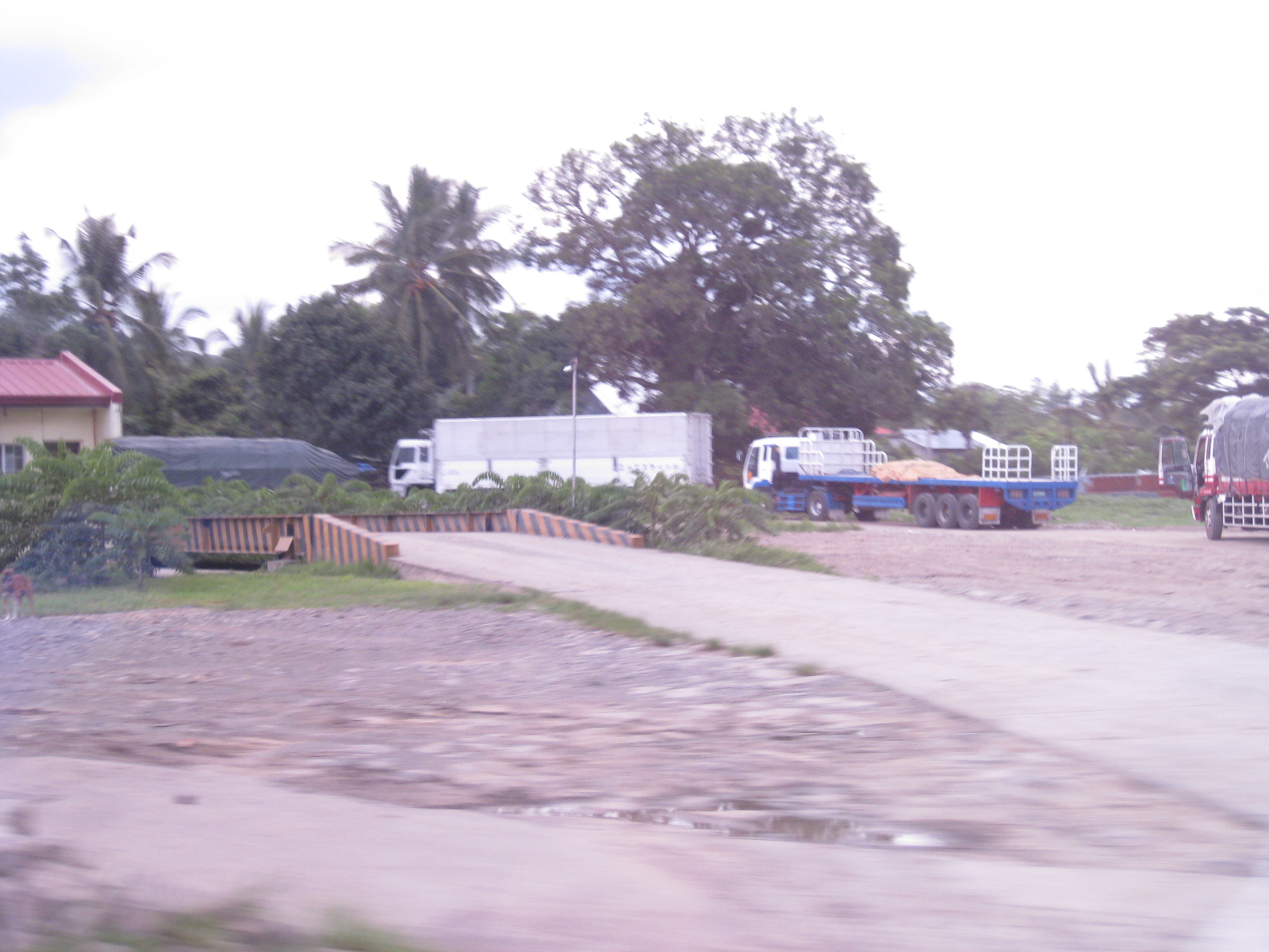 Weigh bridge for trucks entering the tollway
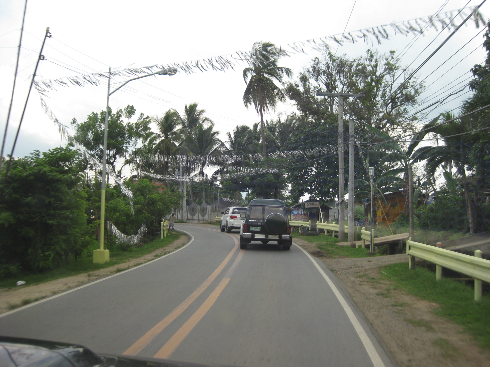 Section of national highway connecting to the tollway
 Ramp to tollway is on the right. The national road passes under the tollway.
 Typical entry toll barrier
 Ramp merging into tollway
 Two-lane, two-way section of the tollway – the section is along half of the ROW and would have been the SB section of a divided road. The undeveloped land on the right will be the section where the NB section will be constructed. That’s a typical pedestrian overpass in the photo.
 The full ROW for the tollway was acquired prior to its construction but due to the low traffic demand, the owner-operator decided against building the full, divided highway. Nevertheless, the highway generally has standard shoulders on either side and standard lane markings.
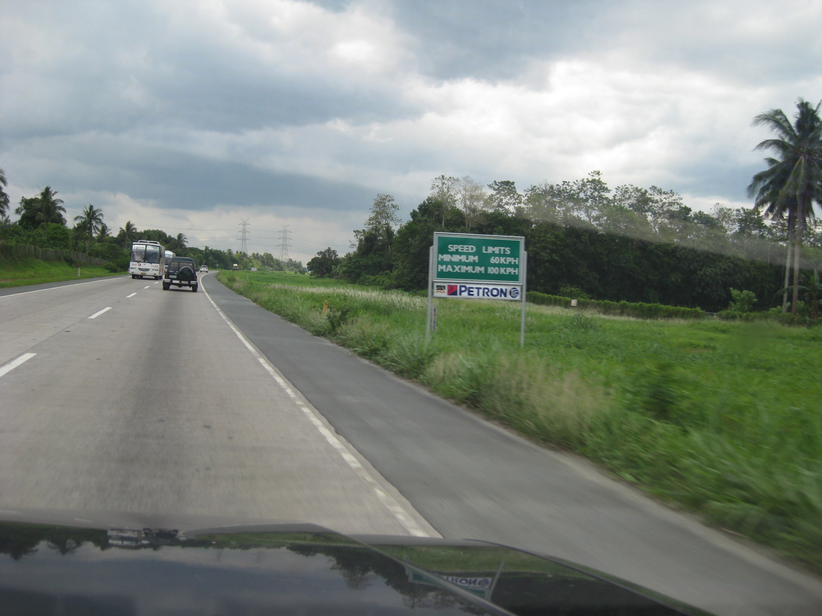 Example of non-standard sign along the expressway. Such non-standard signs are found along the entire tollway.
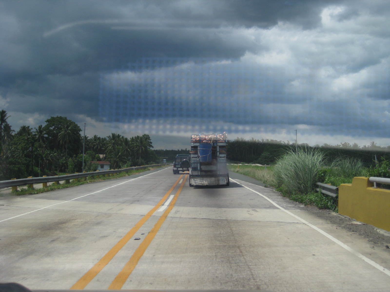 Overpass section of the tollway where there is a junction with a national road
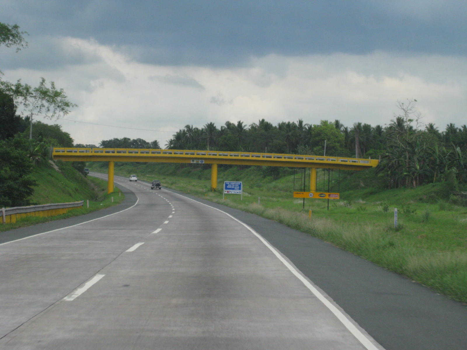 Typical bridge for traffic crossing the tollway where there are no entrance or exits to/from the tollway
 Vehicle attempting to overtake a RORO bus traveling from Batangas Port to Metro Manila
 RORO bus initiating a passing maneuver with respect to a slower moving tanker truck. Note that the shoulder at this section is only half the width of a lane.
 Approach to exit to Lipa City
 Three-lane section along the tollway where the extra lane is for vehicles turning off the tollway
 Section of STAR under rehabilitation along the 4-lane, divided part of the tollway
 Gas station along the tollway provides an opportunity for rest, refueling and/or refreshments
 Typical two-lane section (NB)
 Long sag section along the tollway
 Typical section and traffic along the tollway – even at sections where demand is supposed to be significant enough to justify 4 lanes, traffic is light and free-flowing.
 Typical horizontal curvature along the tollway
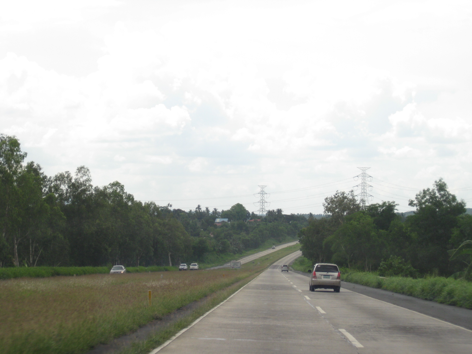 The geometric design of the tollway provides adequate sight distance, harmonizing horizontal and vertical curves.
 Non-standard signs along the expressway located along the median
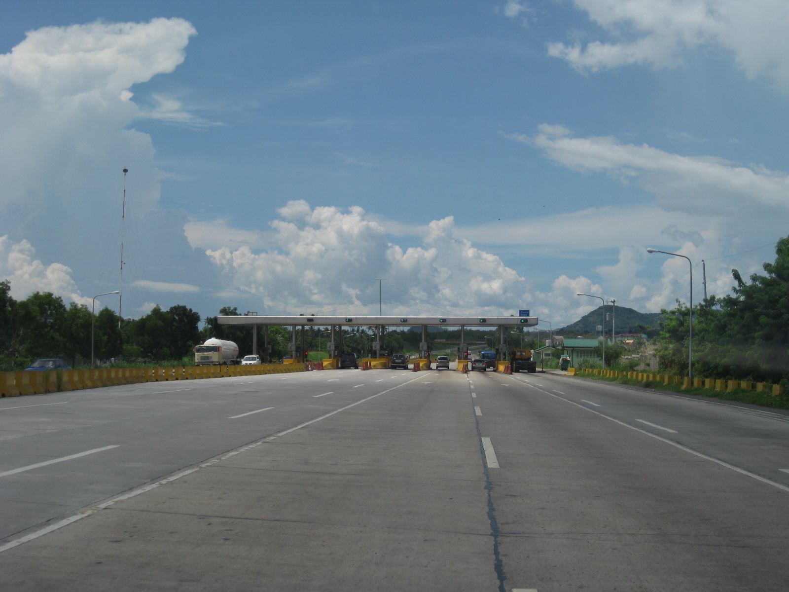 Approach to the toll plaza prior to the spur road connecting STAR with SLEX
 Exit toll plaza
 Spur road section leading to the SLEX
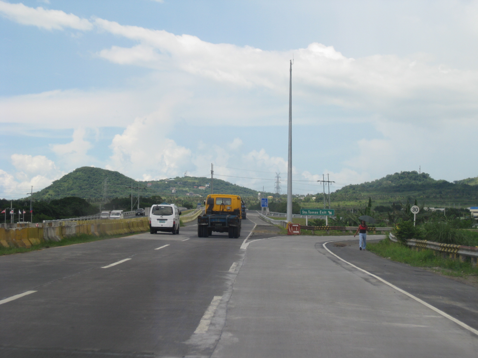 Sto. Tomas exit ramp
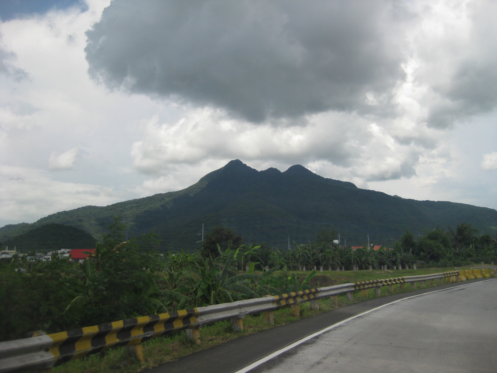 View of Mt. Makiling from the exit ramp
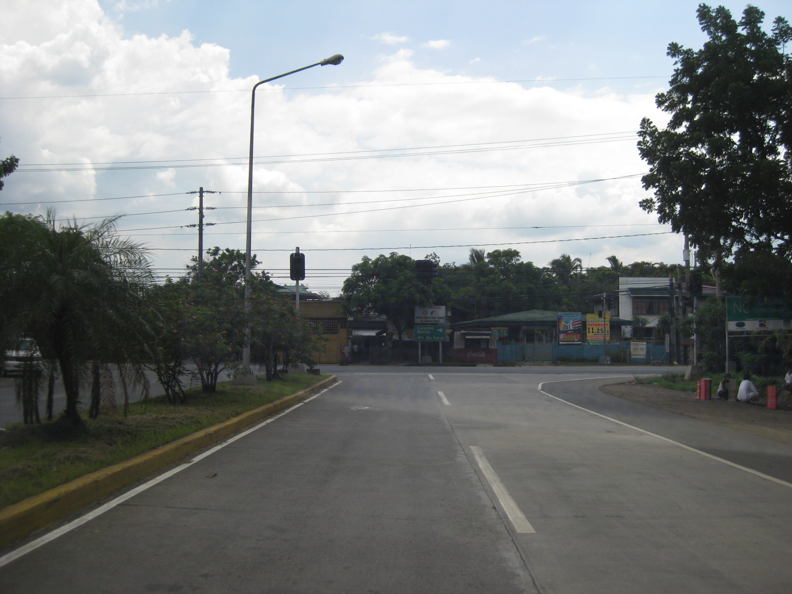 Junction from Sto. Tomas town proper to the tollway spur road
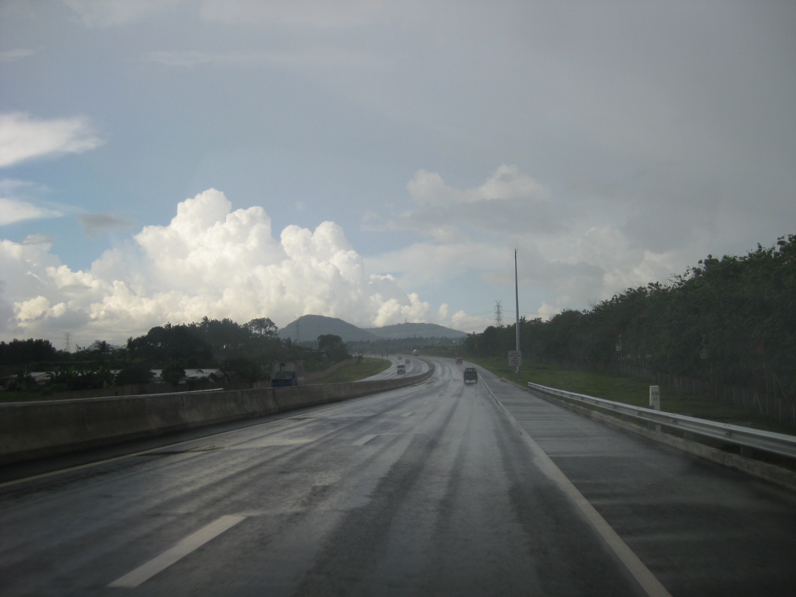 Section leading to the SLEX Extension
San Miguel Corporation, a company traditionally associated with beverage (San Miguel Beer) has acquired the STAR in its expansion to infrastructure projects. It is said to be planning for the construction of a full 4-lane divided tollway that will finally see the construction of the northbound lanes for a significant portion of the highway. There are, however, more improvements necessary in order to improve the safety of the tollway. These, of course, includes the installation of standard road signs and pavement markings. In is quite noticeable, too, from the photos above that there are few if any lamps along the tollway. This situation causes the tollway to be quite dark at nighttime and this lack of illumination may lead to road crashes especially along the undivided sections in Batangas. It is expected that traffic along the STAR will continue to grow in the coming years due in part to the increase in the volume of inter-regional trips including those taking the nautical highway system. Batangas Port already serves a lot of vehicles that cross the water between Luzon and Mindoro and this will continue to rise in number as towns along the corridor prosper and lead to increased vehicular traffic.
–
Quezon Ave.-Araneta Ave. progress
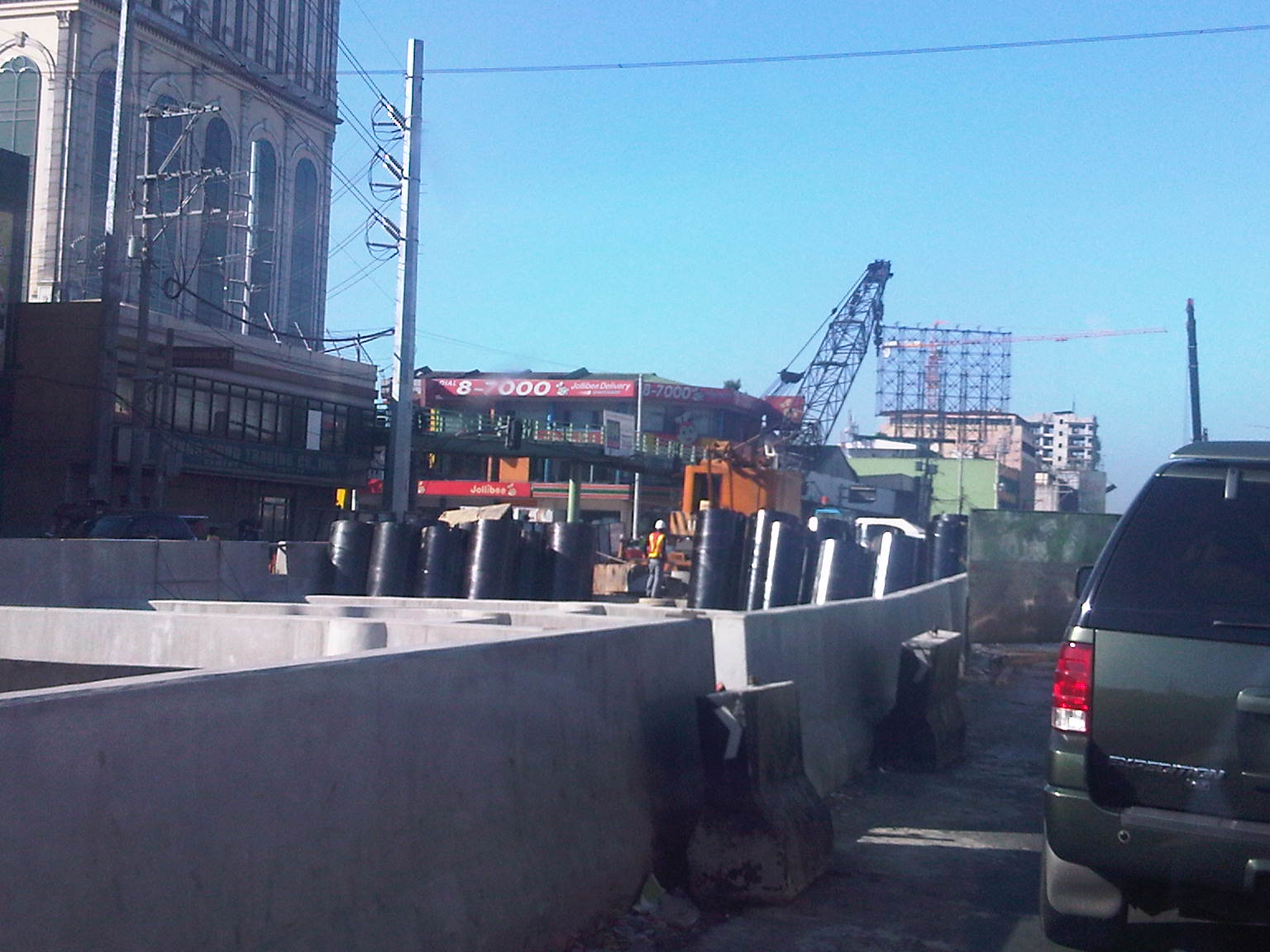
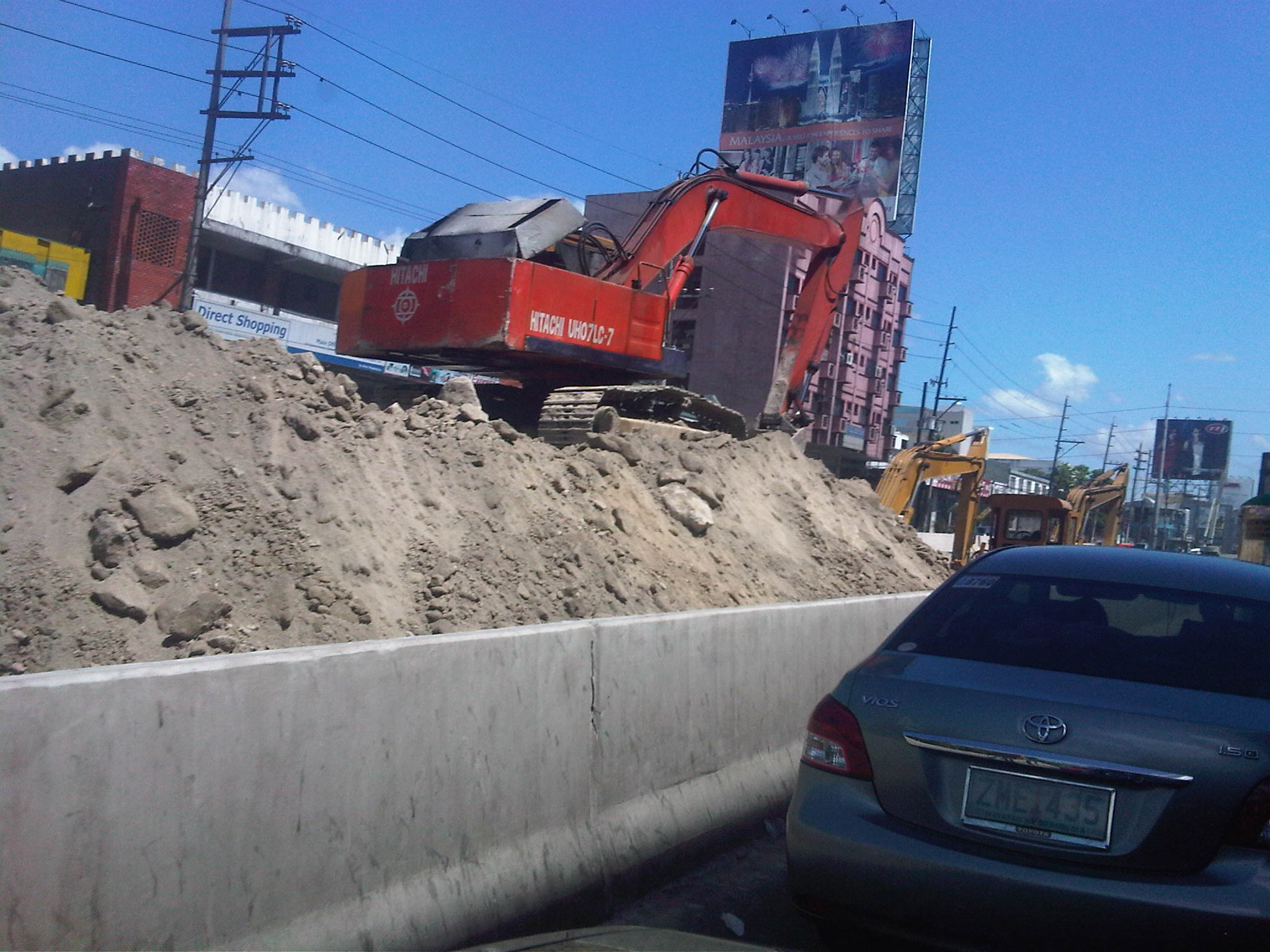
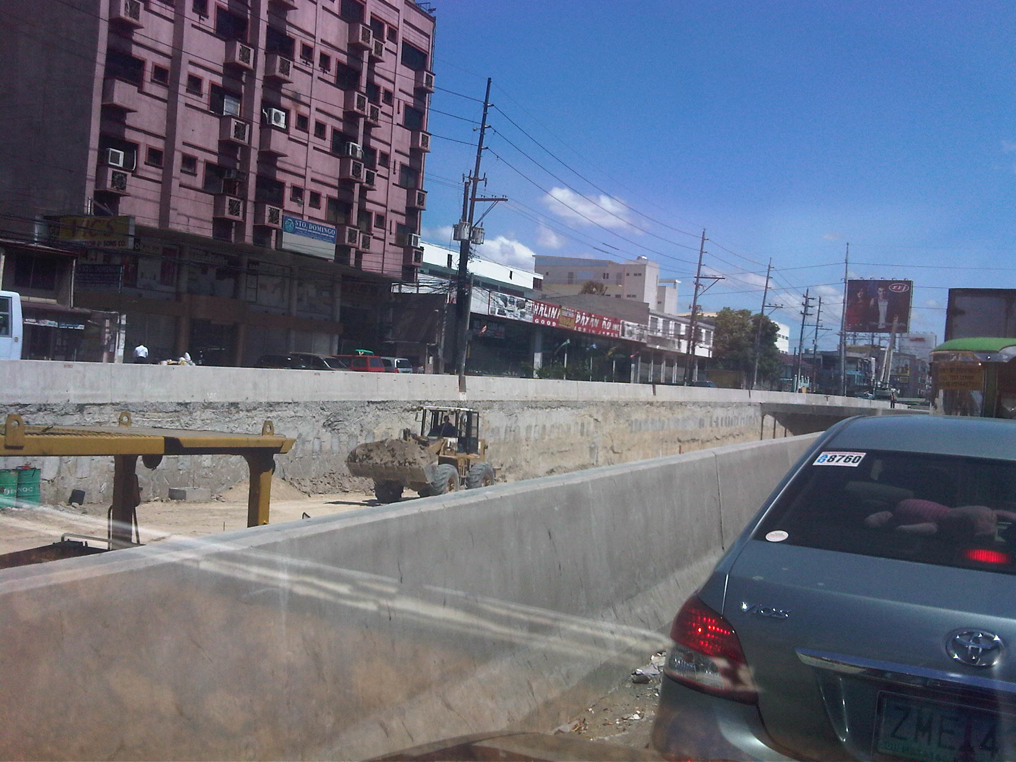
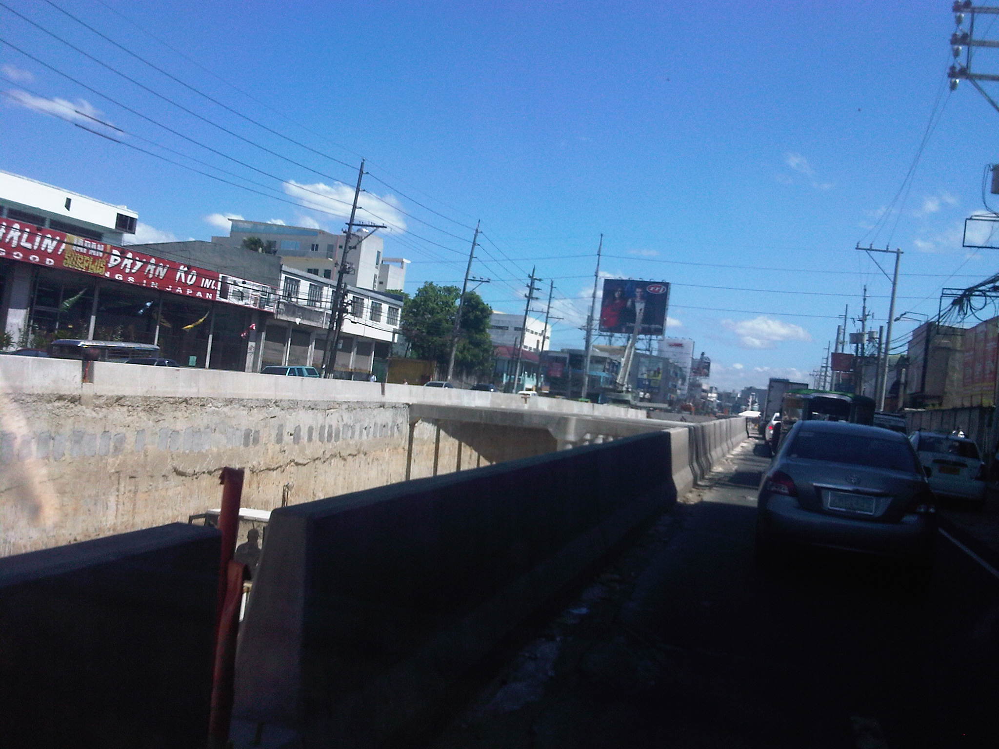
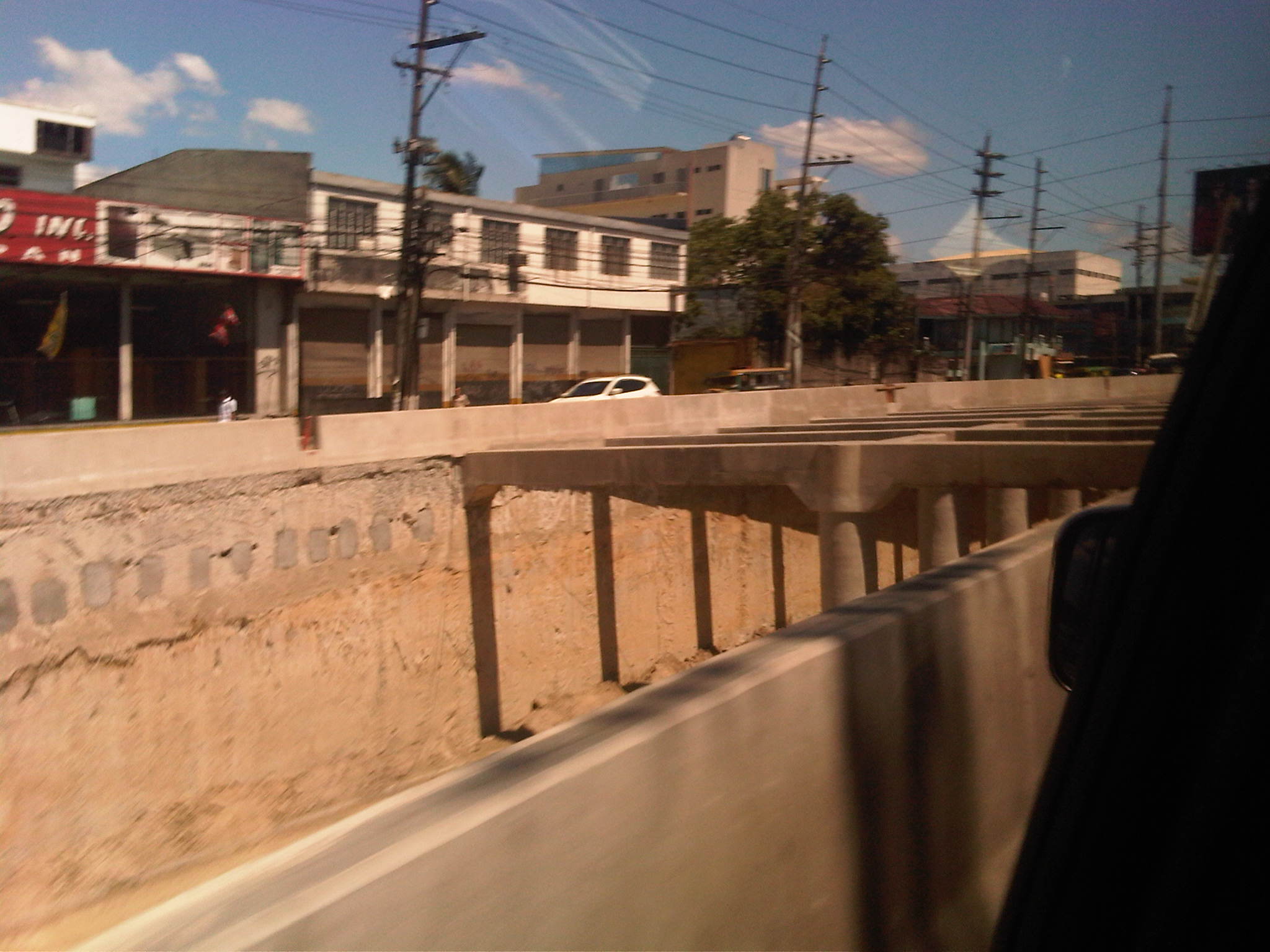
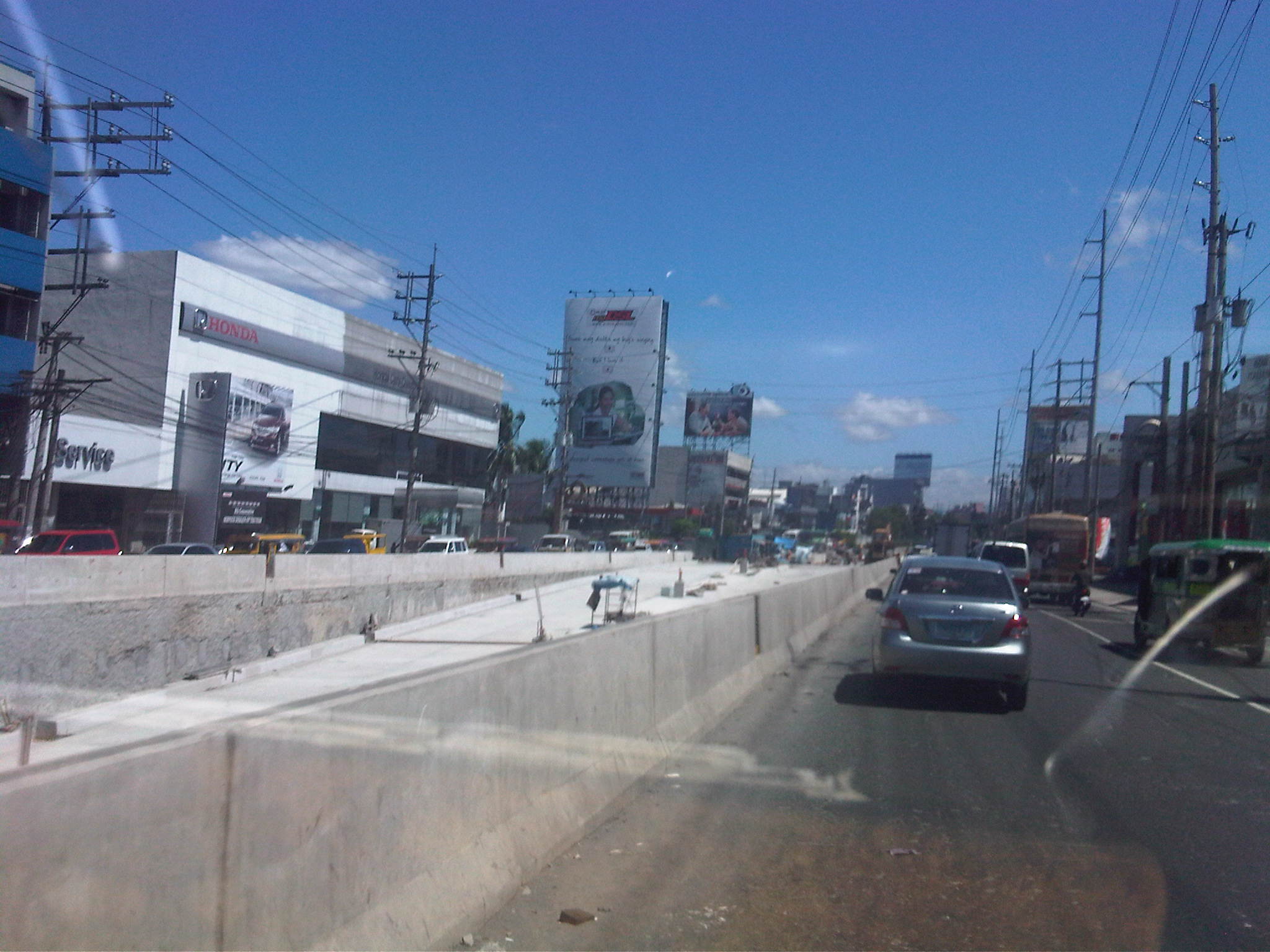
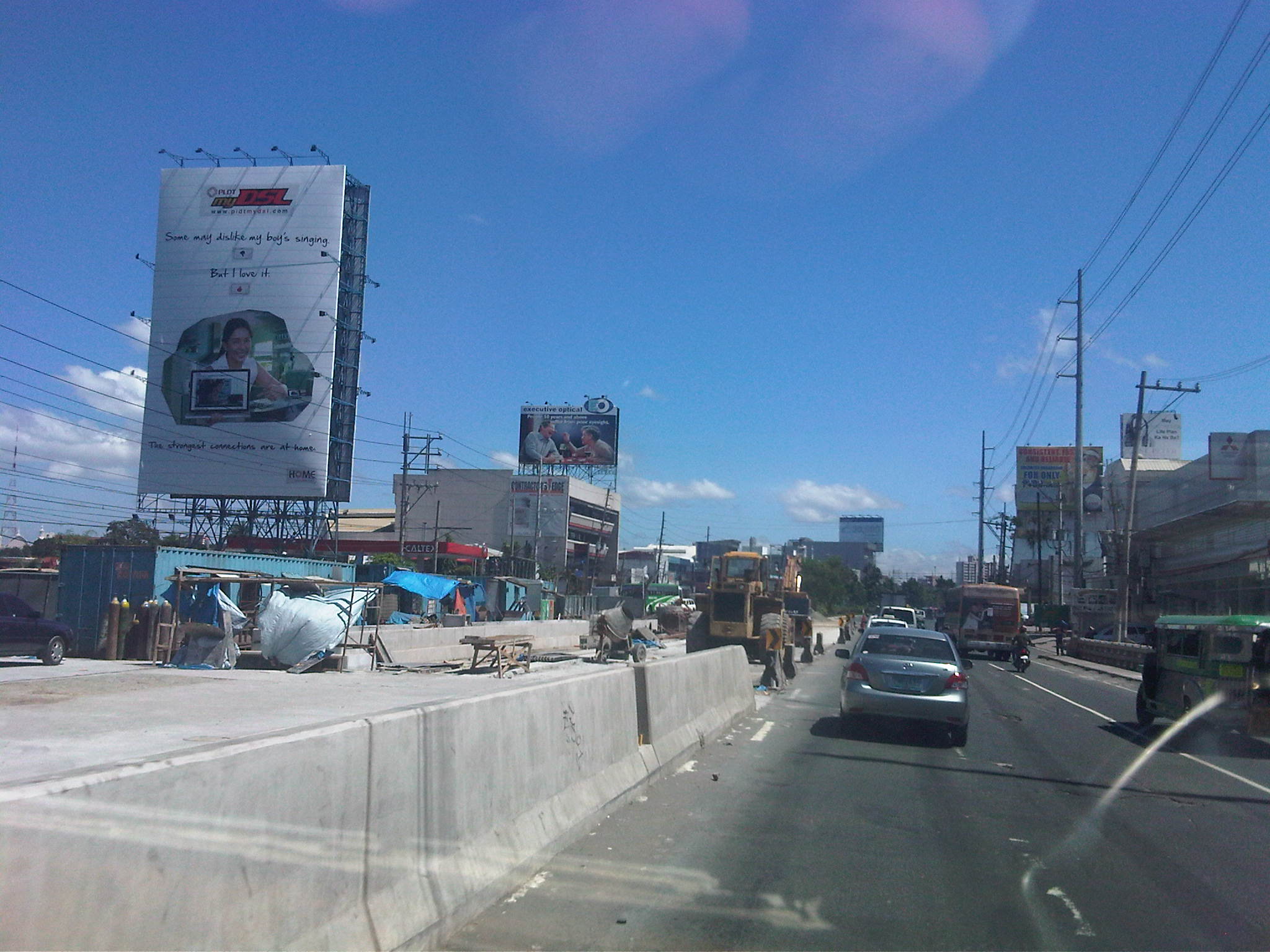
Passed by the construction site of the underpass along Quezon Ave. and the project seems to be running on schedule and should be finished prior to the next school year. Much is expected of the project because it has been touted as the solution to the traffic congestion along both major roads intersecting at this point.
The following photos show the work site from the westbound side along Quezon Ave. from Honda to Sto. Domingo:
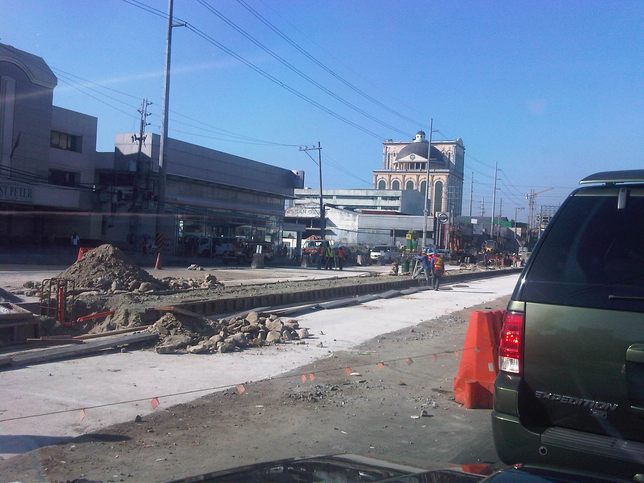 1
1
 2
2
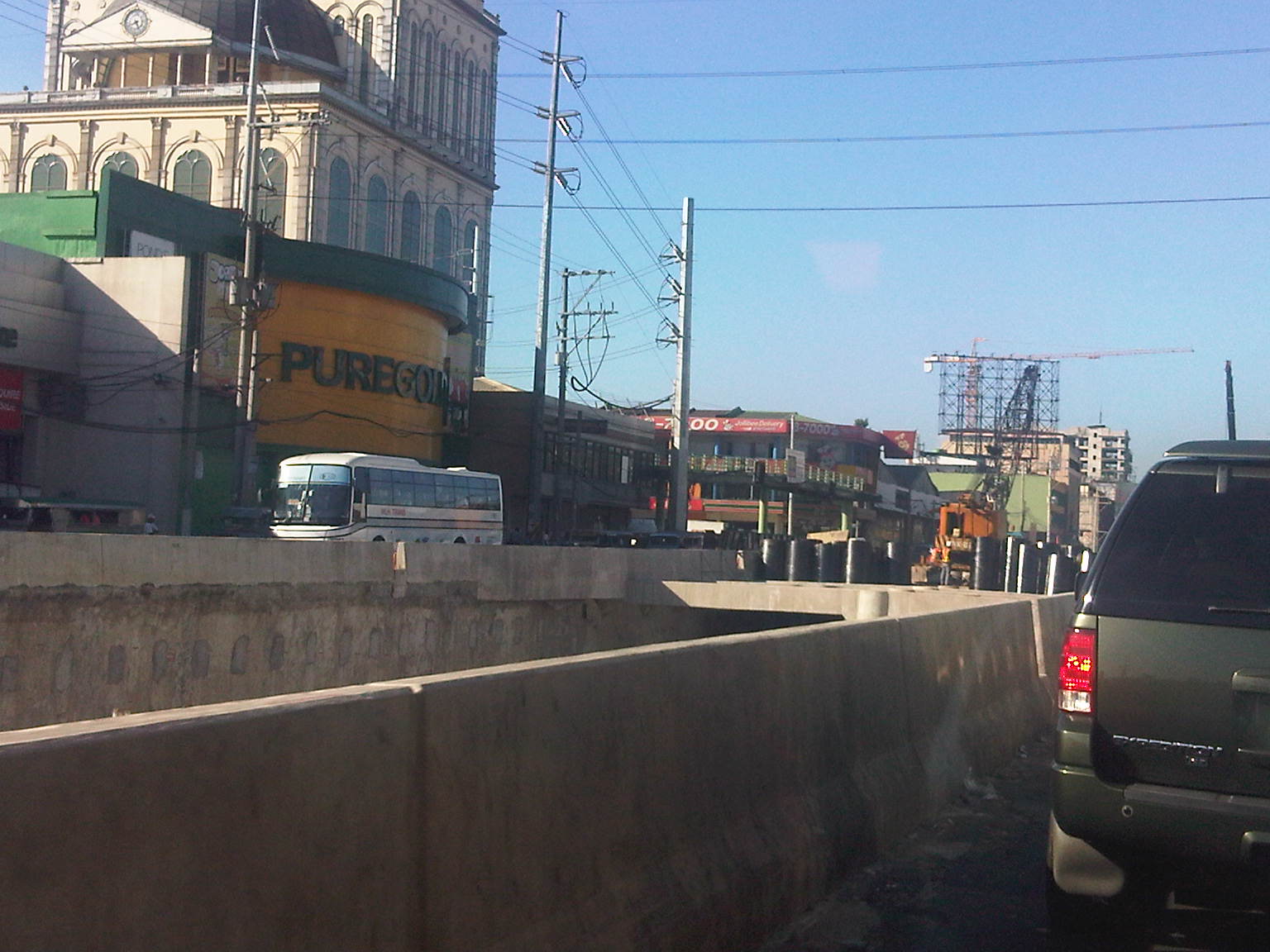 3
3
 4
4
 5
5
 6
6
 7
7
 8
8
The following photos show the work site from the eastbound side of Quezon Avenue from the Sto. Domingo to Puregold:
 9
9
 10
10
 11
11
 12
12
 13
13
 14
14
 15
15
 16
16
 17
17
 18
18
There seems to be a lot at stake with the completion of this project considering concerns about the drainage (Talayan is nearby and so is a river that usually overflows during periods of heavy rains.) as well as the capacity of the roads to handle traffic. While there should be no problems along the eastbound direction of Quezon Ave. due to the available capacity due to the widened sections of the highway, it is quite a different case for the Manila-bound direction where congestion may occur due to Sto. Domingo church and the series of intersections including the busy one at Banawe. Nevertheless, the main concern will be if the traffic signals at the at-grade Quezon Ave.-Araneta Ave. intersection will be able to handle the remaining traffic considering that most through traffic along Quezon Ave. will be expected to take the underpass. While the DPWH simulations seem to show relief at the intersection, the actual outcomes are something to wait for in order to validate traffic engineering analysis for the junction.
–
Coastal Expressway
One of the shortest tollways in the Philippines is the Coastal Expressway, which was actually a free road in the 1990’s (then known as the Coastal Road). It now connects to a longer segment that is the Cavite Toll Expressway (CaviTEx). Following are photos taken during a recon survey of an area along the expressway in relation to a traffic impact study we were conducting for a major development.
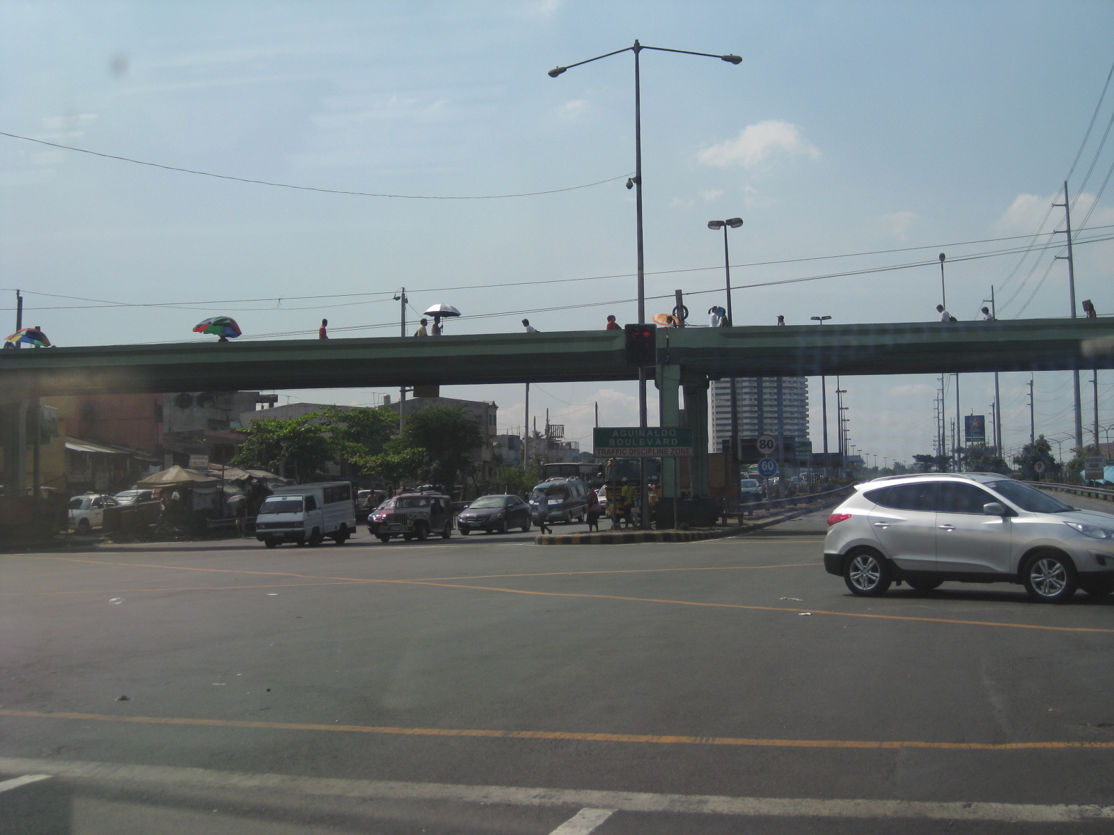 The Coastal Expressway essentially starts from the intersection of Roxas Boulevard and the Airport Road in Pasay City
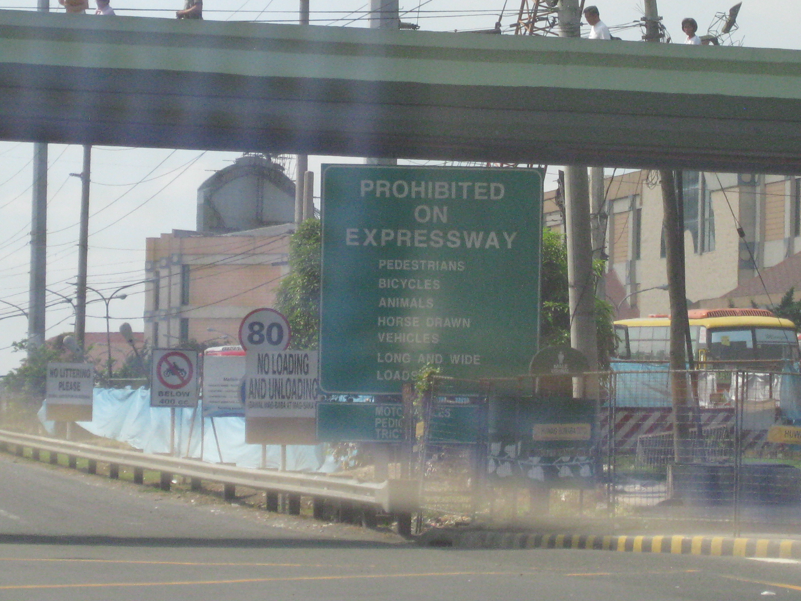 There seems to be so many signs on this corner leading to the entrance to the expressway. This is an example of what not to do in as far as signage are concerned.
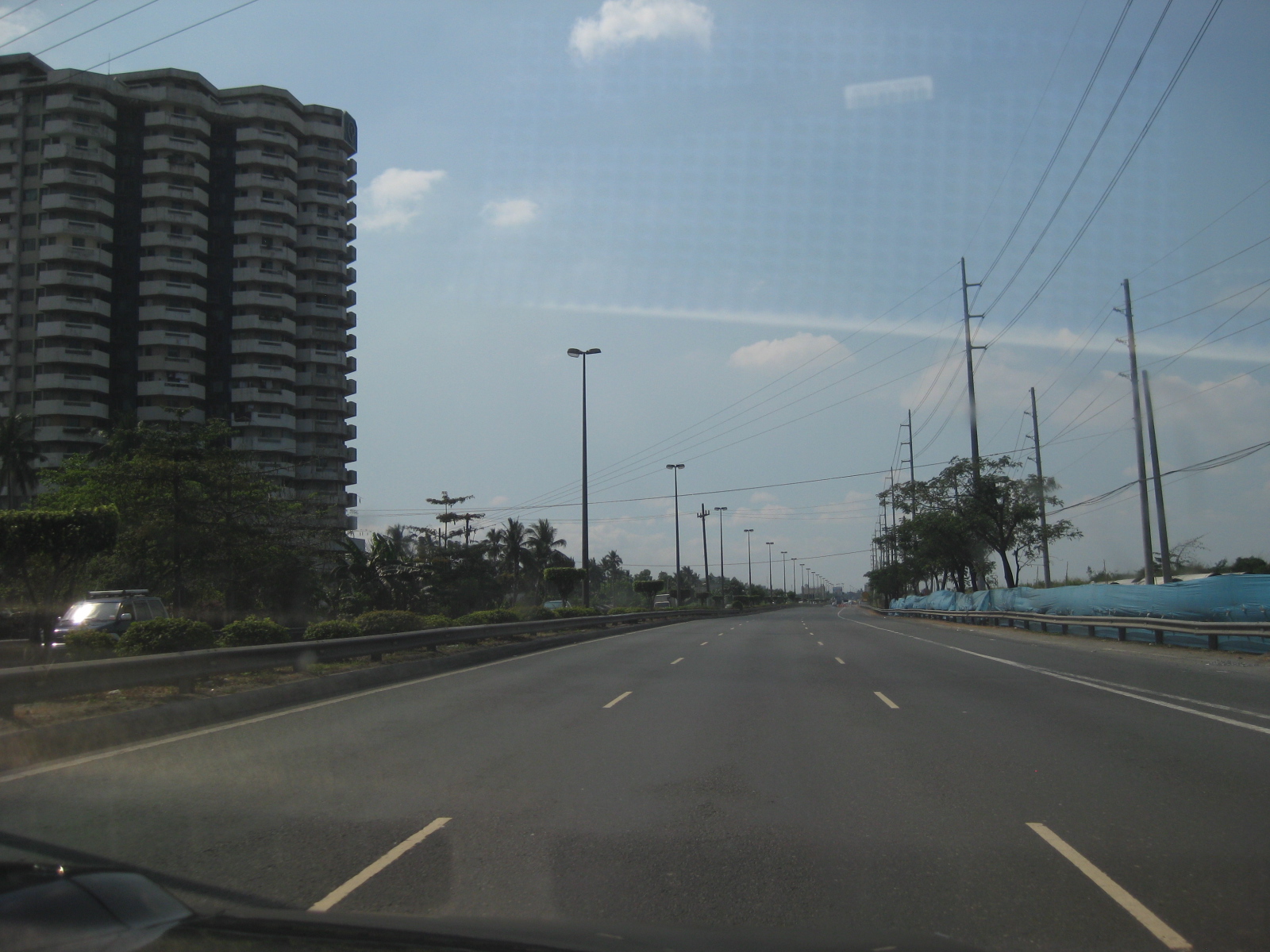 From the intersection, it is practically free flowing traffic leading to the toll plaza. On one side of the expressway are residential/office condominium developments and on the other side are undeveloped or under-developed reclamation areas.
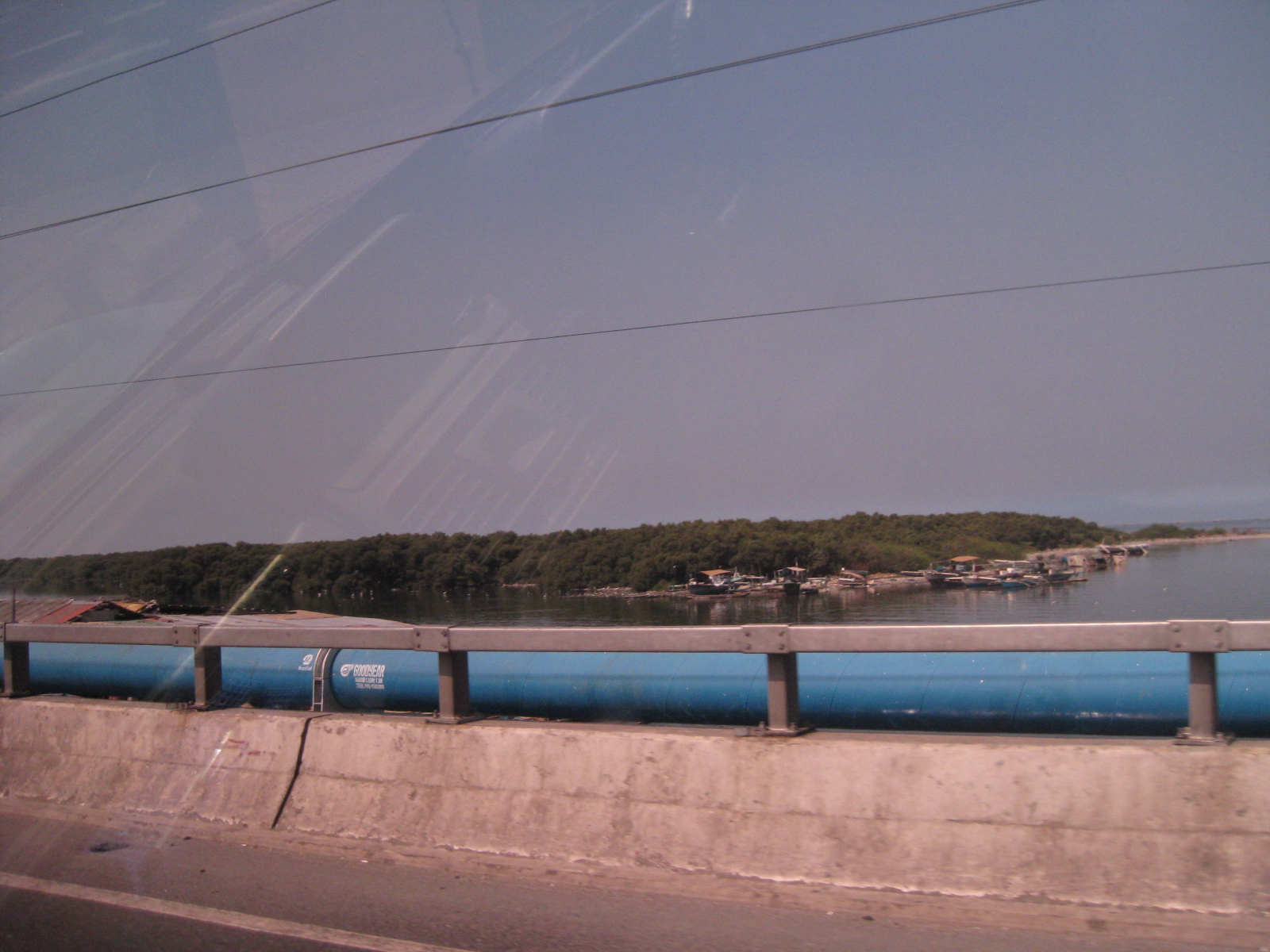 The photo shows one of several small islands from across the tollway that is host to mangrove forests. These growths in turn host an entire eco-system that includes migratory birds, which makes the area a popular site for conservationists, environmentalists and bird-watching enthusiasts.
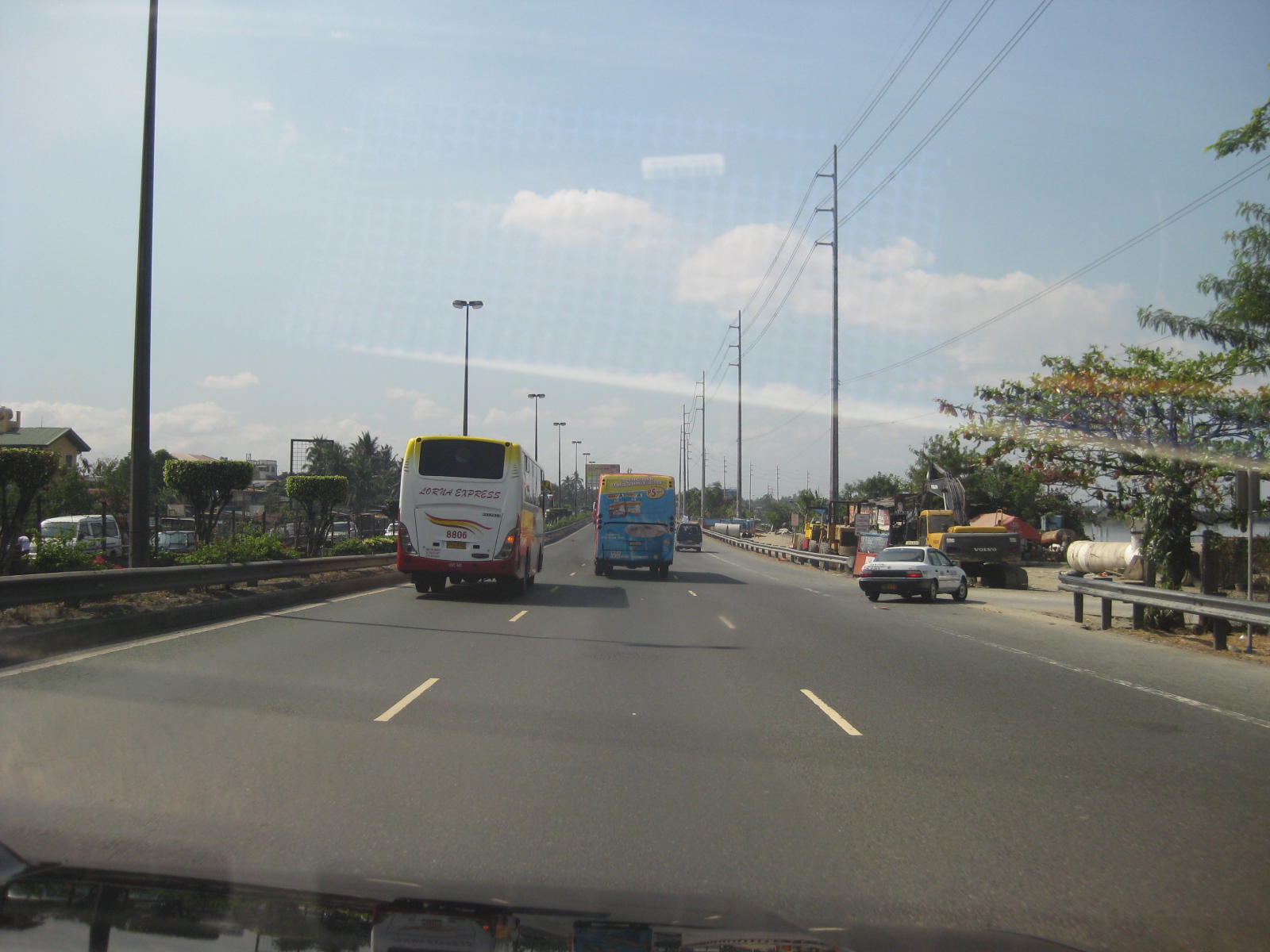 Many provincial buses use the tollway from terminals and stations in Pasay and Manila. This is because the tollway provides a direct access to the province of Cavite where many people who work or study in Metro Manila reside.
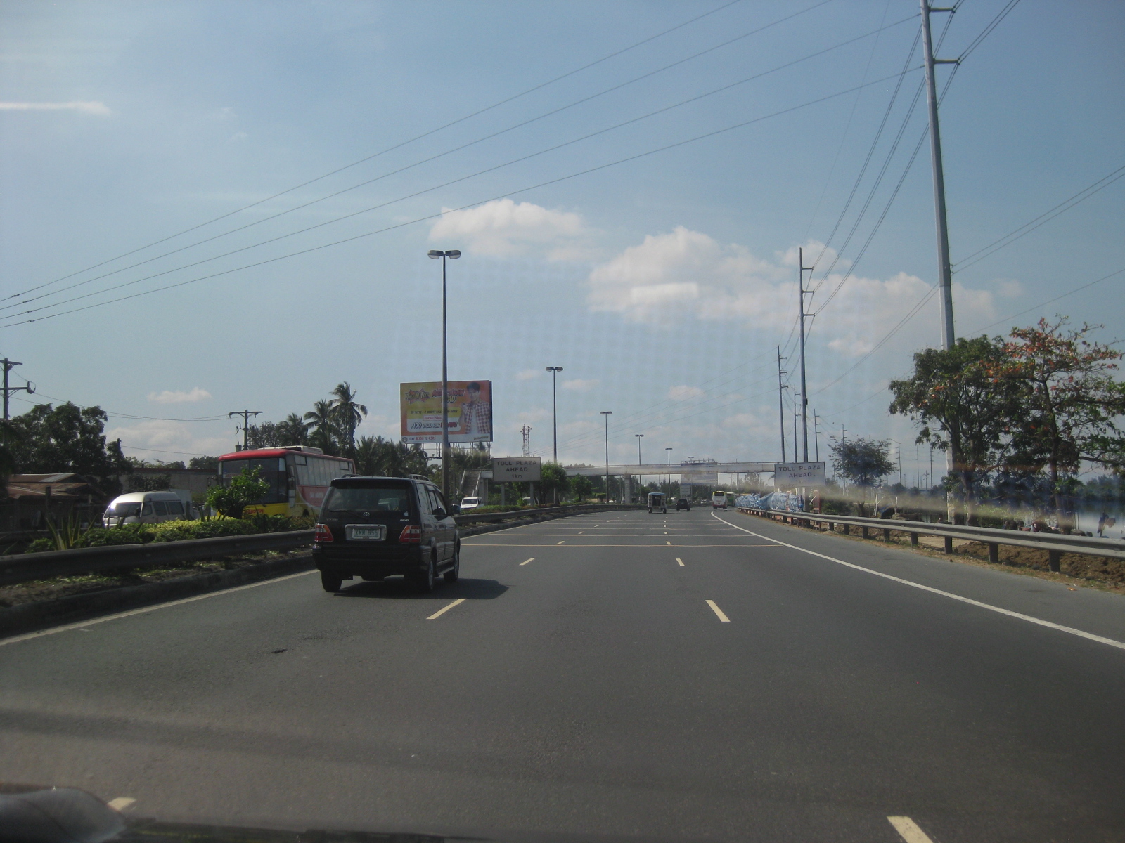 The tollway has 3 lanes per direction with standard shoulders on either side of the carriageway. The is also a median separating the opposing flows of traffic.
 Signs advise for the reduction of speeds as vehicles approach the only toll plaza along at the time along the route to Cavite. There is a minor toll facility along a feeder road to the tollway along the northbound side but it seems more an accommodation rather than a full-fledged tollgate.
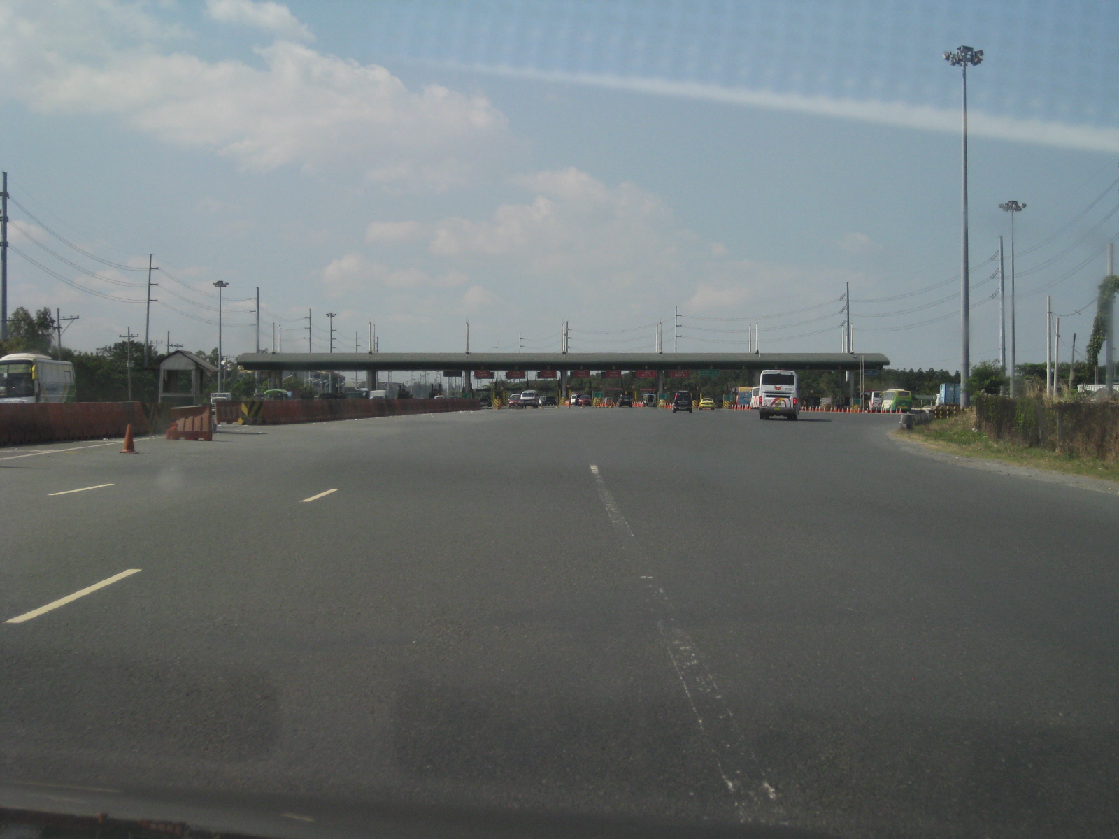 The Coastal Expressway toll plaza – traffic during the time of travel was light despite it being a weekday. However, traffic can be quite horrendous during peak periods and queues particularly long at the toll plaza. There are no electronic toll collection systems in place yet so all transactions are manual. The highway section widens at the plaza for the multiple booths to be able to accommodate vehicle arrivals.
 Typical toll booth along the expressway
 Traffic cones help guide motorists from the toll plaza who will eventually transition back to a three-lane section.
 Sign indicating the boundary between Metro Manila and the Province of Cavite
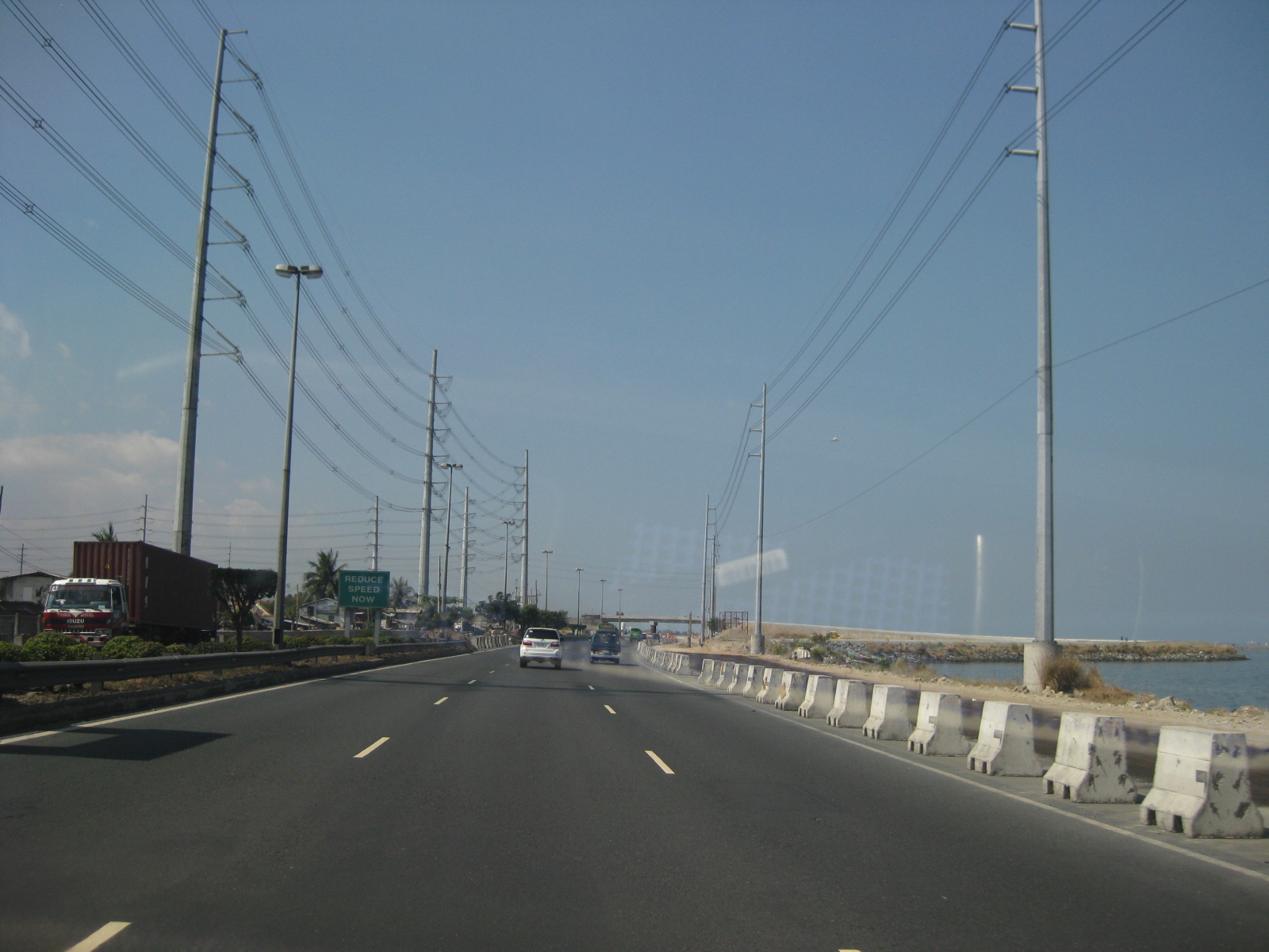 Nearing the then end of the expressway in Bacoor, Cavite, one could already see the ongoing interchange construction and the unfinished section of CaviTEx.
 Construction works for the approach to the overpass for what is now the Bacoor Exit. Vehicles now take the rightmost lanes to turn left towards Bacoor using the overpass that can already be seen in the photo. Vehicles proceeding towards Kawit should proceed along the tollway
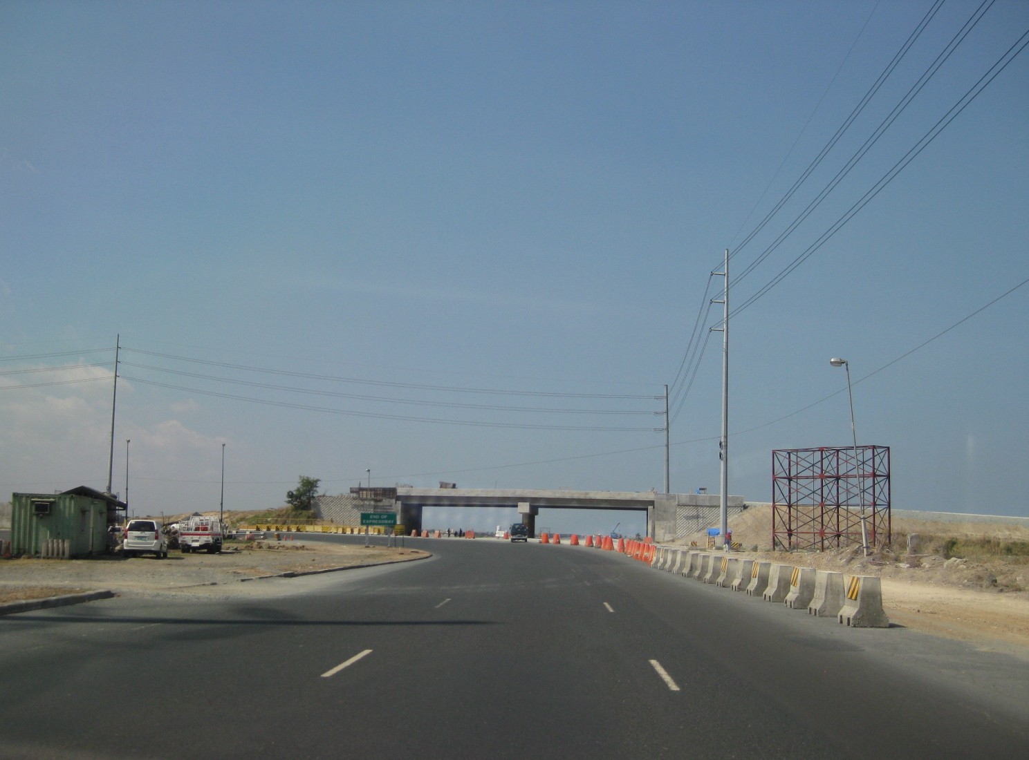 At the time these photos were taken, the CaviTEx was not yet completed and the Coastal Expressway ended at Bacoor. The curve leads motorists to Bacoor town proper.
 A peak at the then unfinished section of Cavitex including the uncompleted overpass
 Turning towards Bacoor, motorists are greeted by another overpass on the opposing direction that leads travelers from the Alabang-Zapote Road (from Muntinlupa) or the Aguinaldo Highway towards the Coastal Expressway. Travelers wanting to proceed to Las Pinas via Quirino Avenue may turn beneath the flyover.
 17Overpass from Aguinaldo Highway to the Coastal Expressway. Our vehicle’s trajectory led us to Quirino Avenue, which eventually connects to the C5 Extension
 To go to Alabang via the Alabang-Zapote Road, motorists should stay on the left side of the road. To go to the Aguinaldo Highway, one must keep to the right.
–
Marcos (Highway) pa rin!
The traffic conditions along Marcos Highway along sections within Antipolo, Cainta, Marikina and Pasig have worsened the past two weeks due to the ongoing roadworks that have resulted in traffic jams very early in the morning (e.g., congestion at 5:30 AM) and until late at night. This, as the contractor appears to be rushing to meet the March 2012 deadline indicated in the DPWH project postings along the highway. So much for so-called traffic management along construction sites! I believe that MMDA and local government enforcers are not at all helpless in trying to alleviate congestion. I think they are not doing their jobs and they are not trying hard enough given the requirements to enable smoother flow along affected sections. Meanwhile, the contractor should also be held accountable for the congestion as valuable time is lost for many using the highway. Gumawa pa ng traffic management plan at nag-post pa sa DPWH website eh di naman pala masusunod!
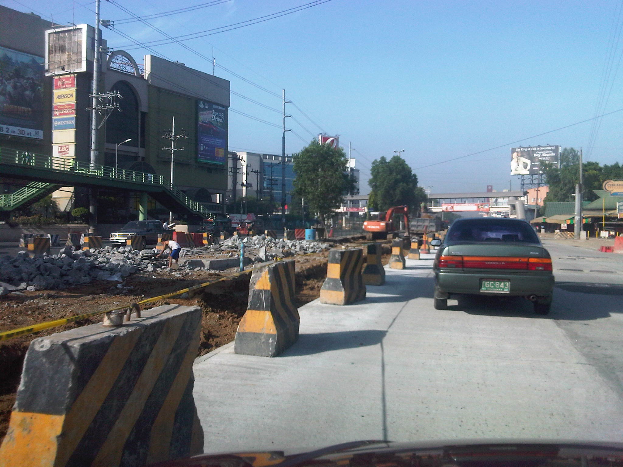

While the quality of work for the pavement is not suspect (considering the contractor has done a splendid job replacing the entire pavements along the highway to ensure that the base and sub-base layers are also replaced), much is to be desired regarding the way certain sections are being selected for rehabilitation. I’m sure that most if not all motorists are inconvenienced by the challenging obstacle course comprised of excavations, fills and concrete barriers. Of course, we can just be hopeful that the project will finally be completed this summer and we will ultimately benefit in the improvements along Marcos Highway.
–
Gapan-San Fernando-Olongapo Road: Lubao bypass road
The Gapan-San Fernando-Olongapo Road was often congested along sections passing through populated areas of towns along the highway. Among the busiest (and most congested) was the section in Lubao. This necessitated the eventual construction of a bypass road for travelers to be able to reduce delays caused by various elements including local traffic (e.g., tricycles and pedicabs). The following photos describe the bypass road and the traffic using it.
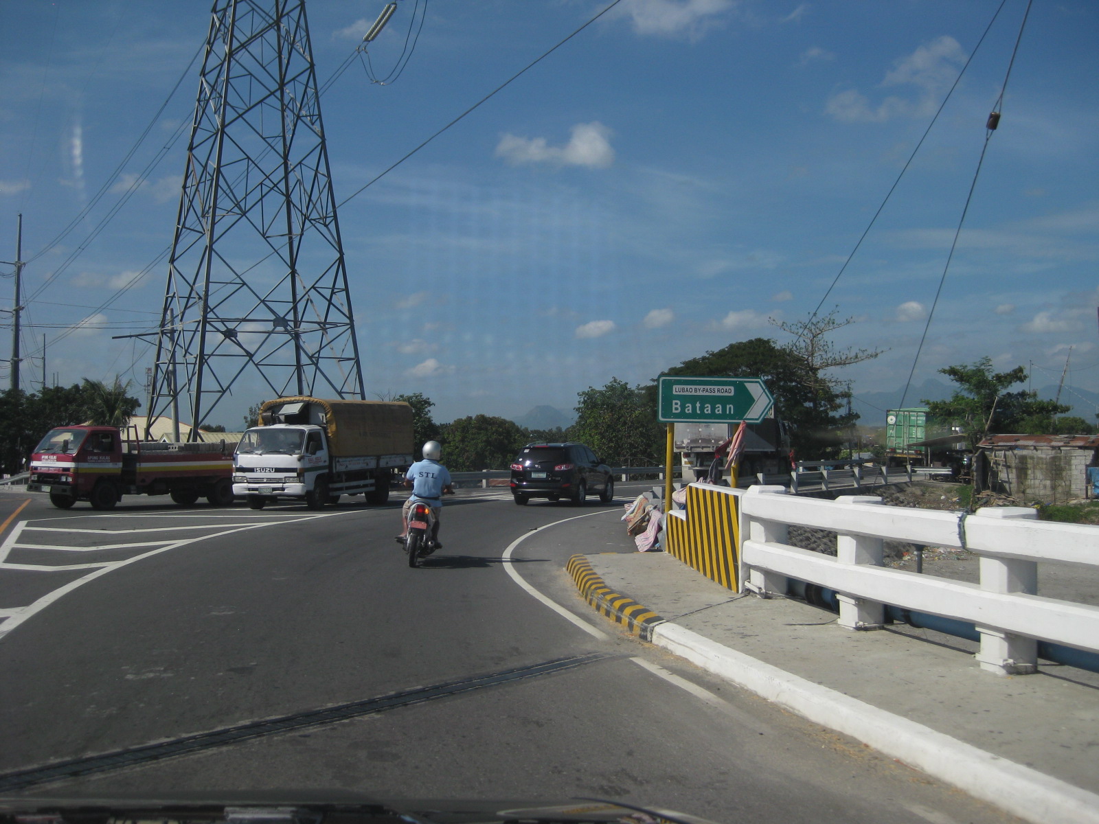 The bypass road is easily identified with the conspicuous signage and lane markings. The junction is right after this bridge.
 The pavement markings along the bypass road is inadequate and appears to be inappropriate given the carriageway width. There are also many people crossing the highway at various points.
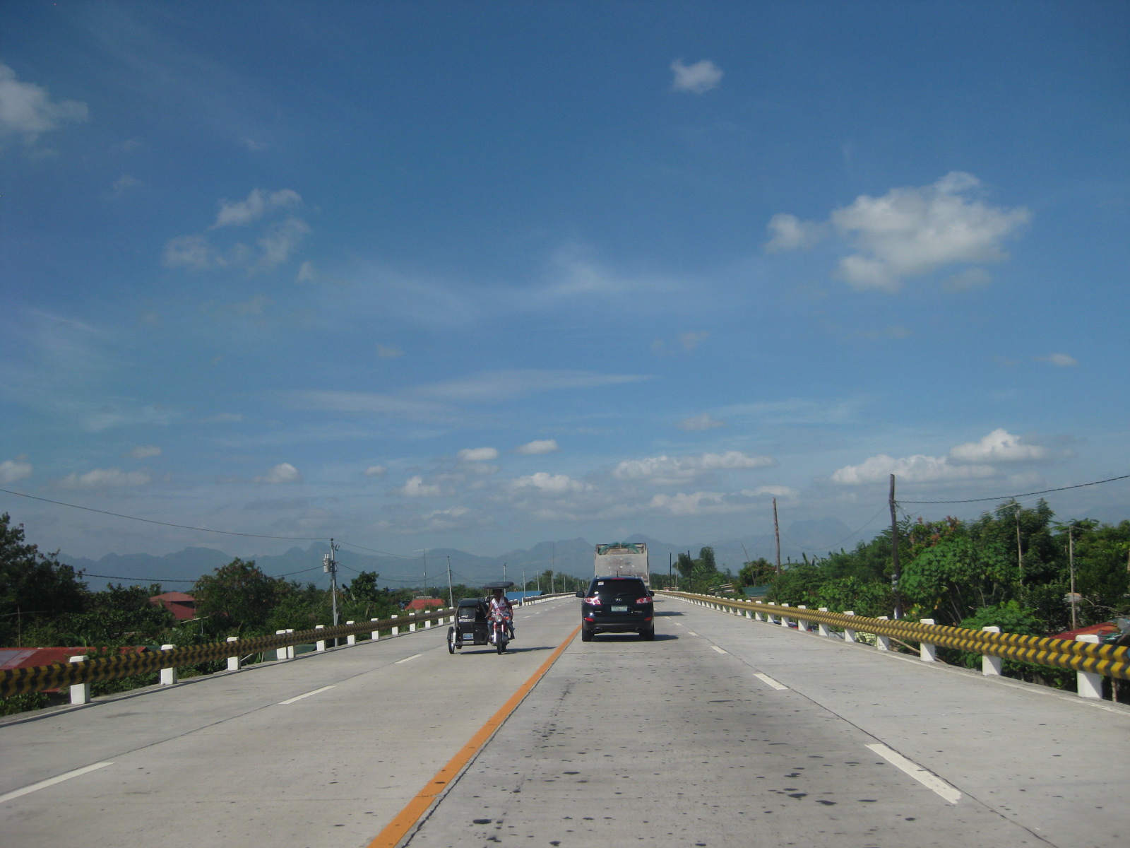 The bypass road should have been a two-lane, two-way highway with shoulders at either side of the road. The yellow line in the middle of the road may be appropriate to advise against overtaking or passing but the white broken lines should be replaced by solid lines to delineate the shoulders from the traveled way. Yup, that’s a tricycle along a national road.
 The highway is elevated probably to prevent flooding (of which the area has lots of experience including the times when lahar was a severe problem in the area). As such, travelers can see the rooftops of a lot of most houses along the highway.
 The bypass road narrows to 3 lanes at certain sections.
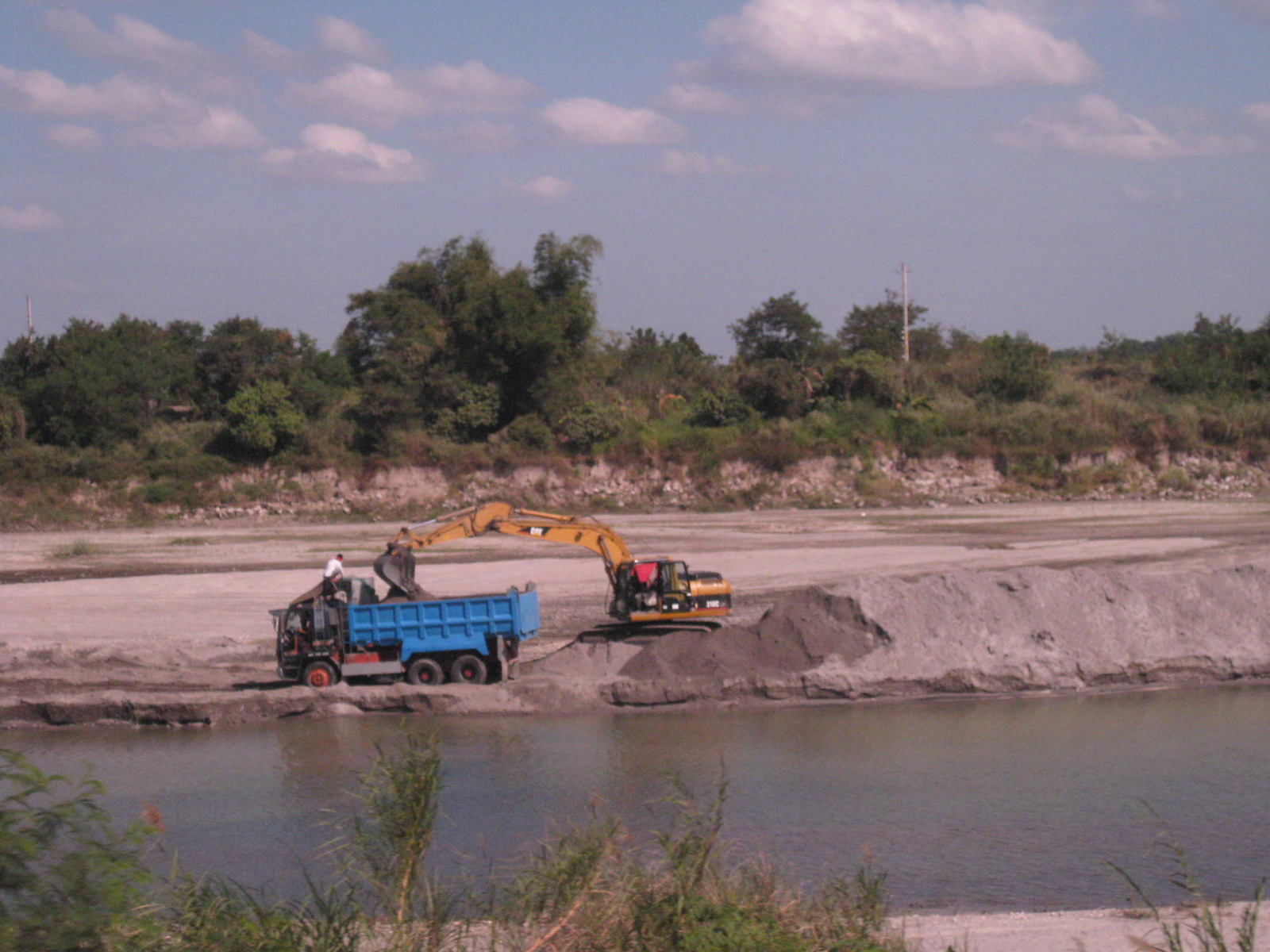 Scene along the highway sections along which is a river. Quarrying for construction materials like sand is quite common and a major source of revenue for many Pampanga towns. Such activities have also been controversial due to the fees charged by the local governments, particularly how these are divided among towns and where these are used.
 The space provided along the single lane direction is obviously inadequate considering that trucks tend to encroach upon the opposing traffic lane.
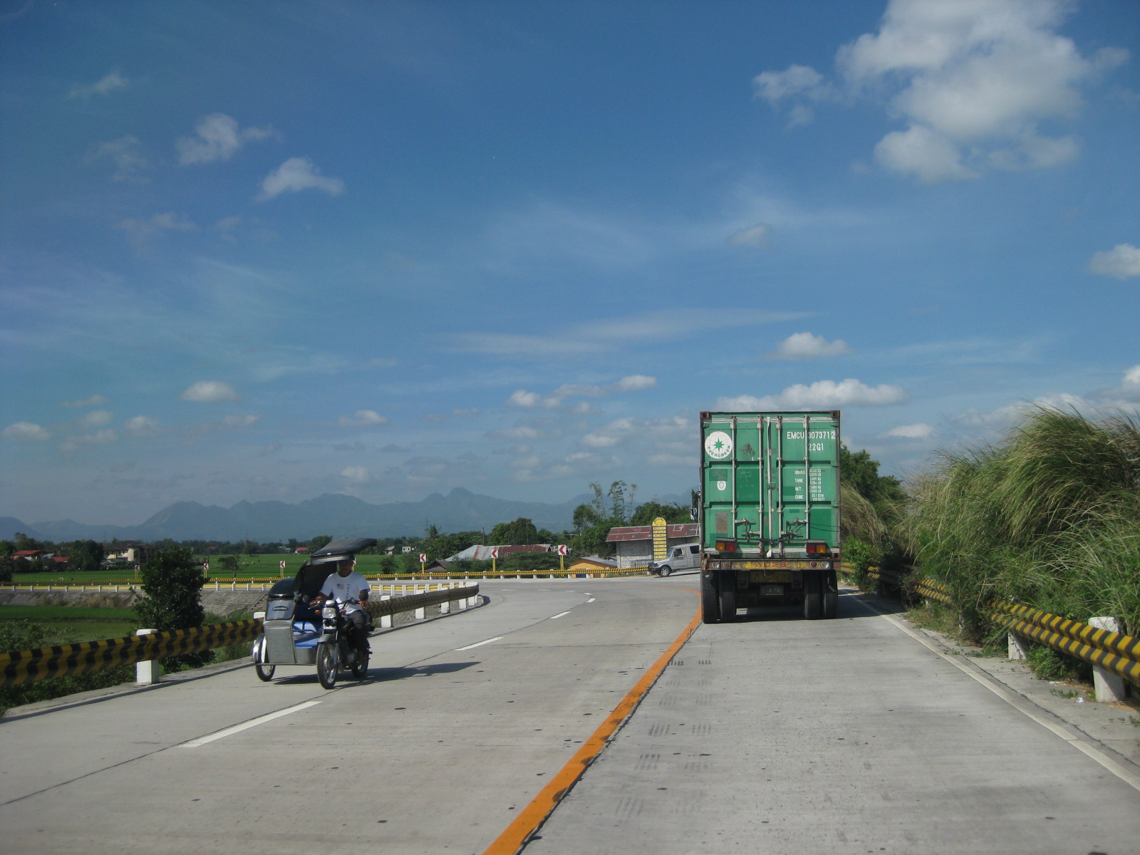 The 3-lane section approaching a junction. There were no signs or rumble strips to warn drivers about the presence of a junction.
 There are no signs to inform motorists of the presence of this junction at a curved section where the 3-lane road transitions into 4 lanes. This is actually an unsafe location for a junction and requires both geometric and traffic engineering interventions to prevent crashes from occurring.
 The chevron signs indicating the curvature of the road section are quite few. Perhaps the highway engineers became too conscious of the controversies elsewhere where there seems to be an abundance and propensity for such signs. The embankment for the highway is visible from the photo.
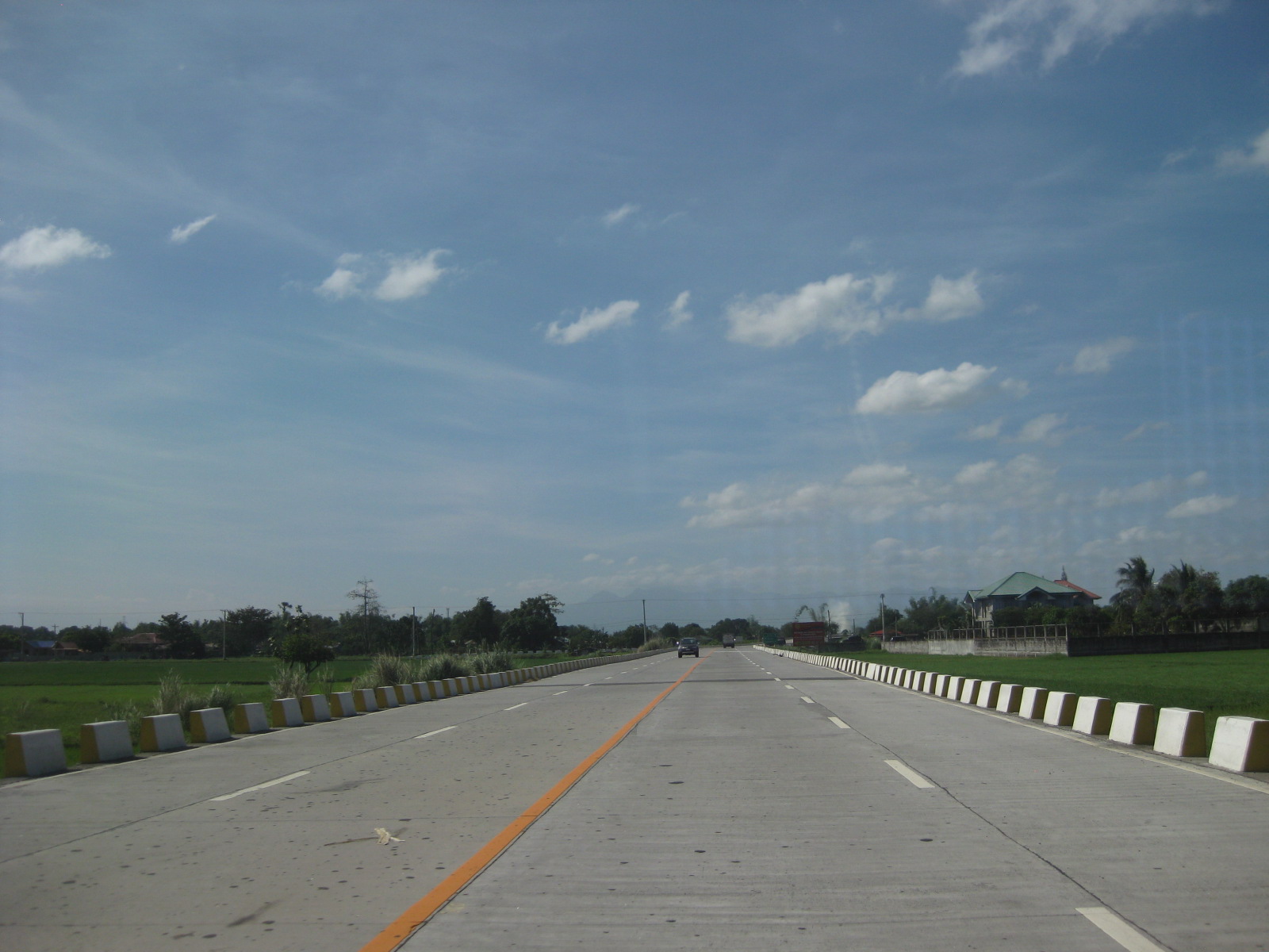 Lower section of the bypass road with concrete barriers apparently designed for waters to flow through. Notice that the section is not as elevated as the previous ones judging from the rice plantations on either side of the road.
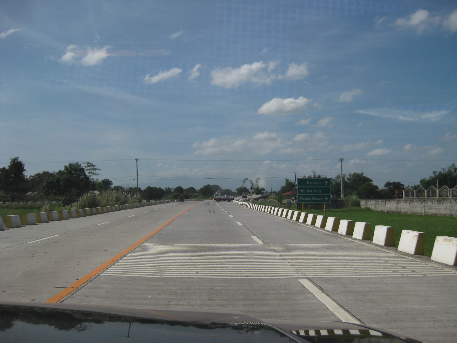 Rumble strips along the highway to warn the driver of a hazardous section
 13Curved section with signs that seem to be too small considering the speed limits (40 kph). Meanwhile, there is a single chevron sign on the other side of the road.
 Straight, level section is quite tempting for speeding. Such designs actually encourage speeding, and many vehicles we observed (including ours) exceeded the 40 kph speed limit.
 Traffic along the highway is quite light even during the peak periods – further proof that 2 lanes are enough for the bypass.
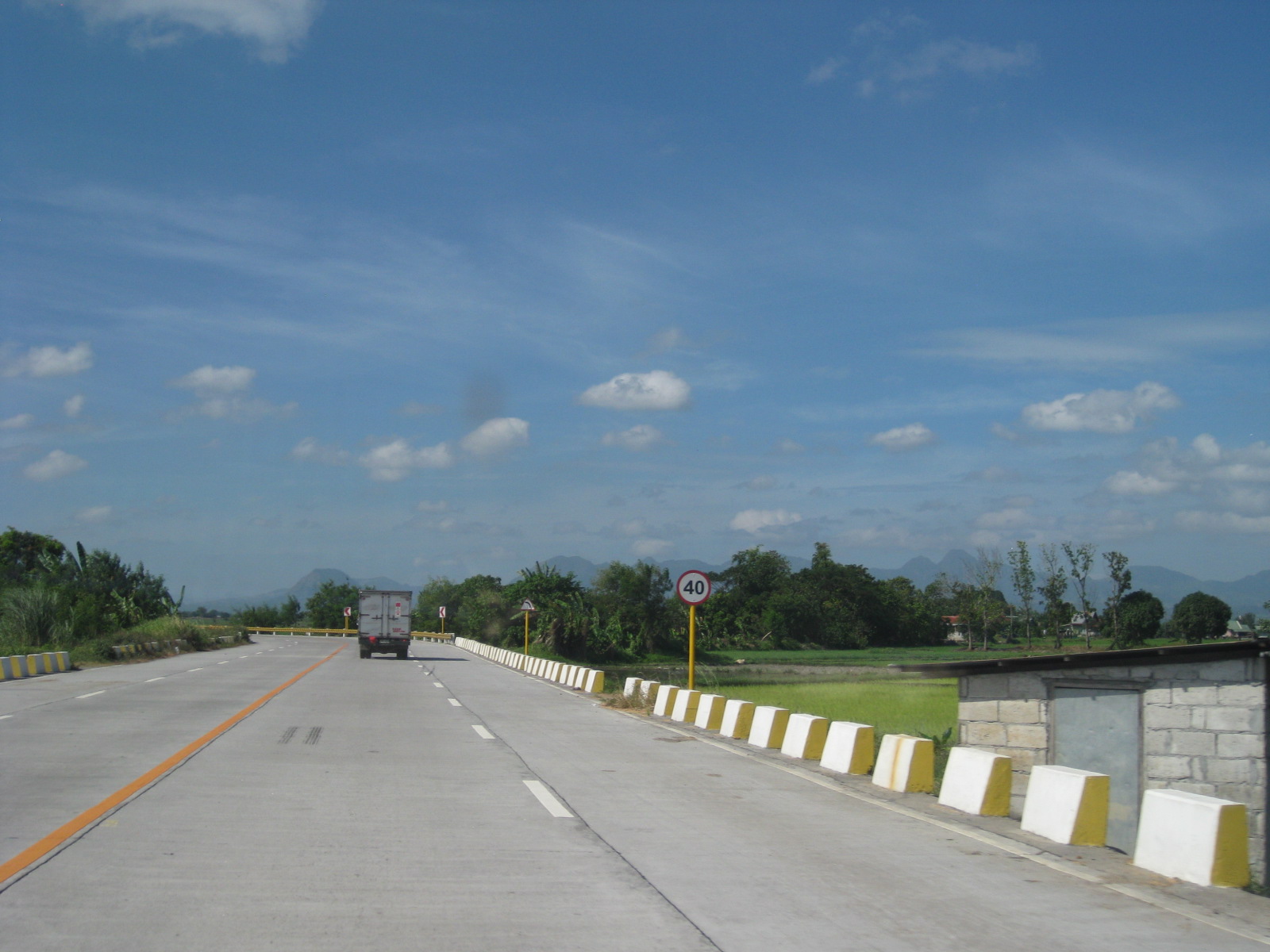 The concrete barriers do not seem sufficient or able to stop large trucks should these be involved in crashes where vehicles are run off the road.
 Aside from tricycles, there is a significant motorcycle traffic along the bypass road.
 I think sharp curves like this section requires more chevron than what was installed along the highway.
 Straight, level section approaching the west junction with the Gapan-San Fernando-Olongapo highway. The tall electric pole marks the junction.
 Closer to the junction, the electric pole looms and become more conspicuous to travelers.
 Power line pole in the middle of an island that’s part of the channelization for the bypass road’s intersection with the GSO Highway.
It is clear that the Lubao bypass road has benefited many motorists often hindered by congestion along the GSO road. However, given the opportunity to design a safe highway, it seems that many elements were not satisfied in terms of safety. As such, the bypass road presents us with a high potential for road crashes at present and when traffic eventually increases over time. There are, of course, options that can be implemented to improve the situation along the bypass road and its junctions with the GSO Highway.
–
 Caught (up) in traffic