
Home » Highways and Streets (Page 26)
Category Archives: Highways and Streets
Lane rationalization along Katipunan Avenue
While driving along Katipunan last weekend, I noticed the excavations beside the median island along the southbound direction. The excavations were of curious shapes as they were large holes that were conspicuously beside each of the small trees planted on the median island. It suddenly struck me that this was likely the implementation of the planned adjustment of the median island to allow for an additional lane along Katipunan northbound. A few more passes along the project site confirmed my suspicion and I was finally able to take a few photos this morning of the work along this section of C-5.
 The old median island has already been removed to make way for an additional lane along Katipunan (C-5) northbound. This will increase the number of lanes from 3 to 4 and should ease traffic when classes open in June. Meanwhile, the trees have been replanted on the adjacent lane on the southbound direction where a new median will be constructed.
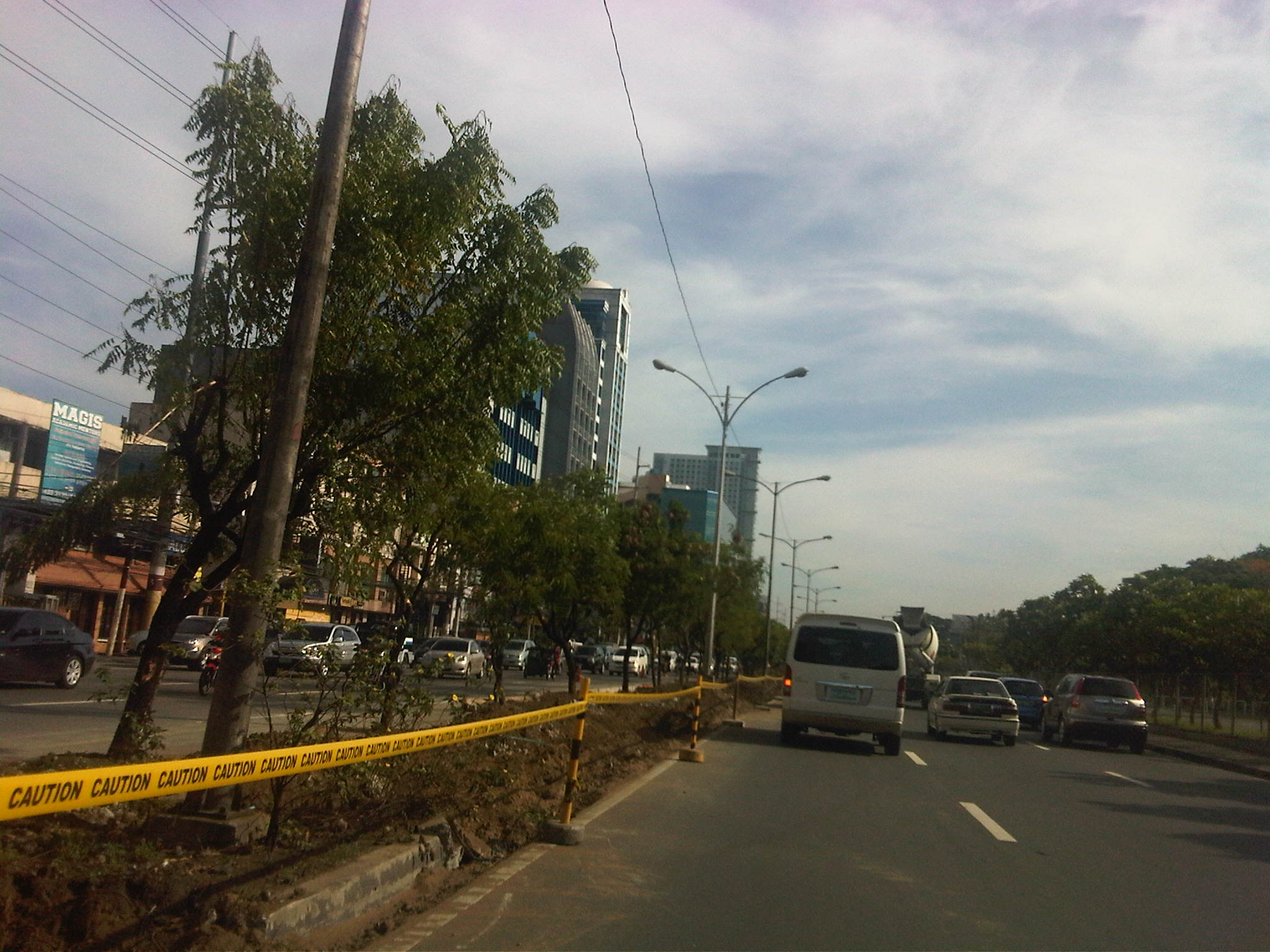 Aside from the trees, the light poles will also have to be transferred. I assume this will be done with Meralco and during the night time to reduce impacts on traffic.
 After transferring the trees, the old curb is demolished and the soil excavated and transferred to the new median on the other side. A new curb is being constructed and is visible in center of the photo.
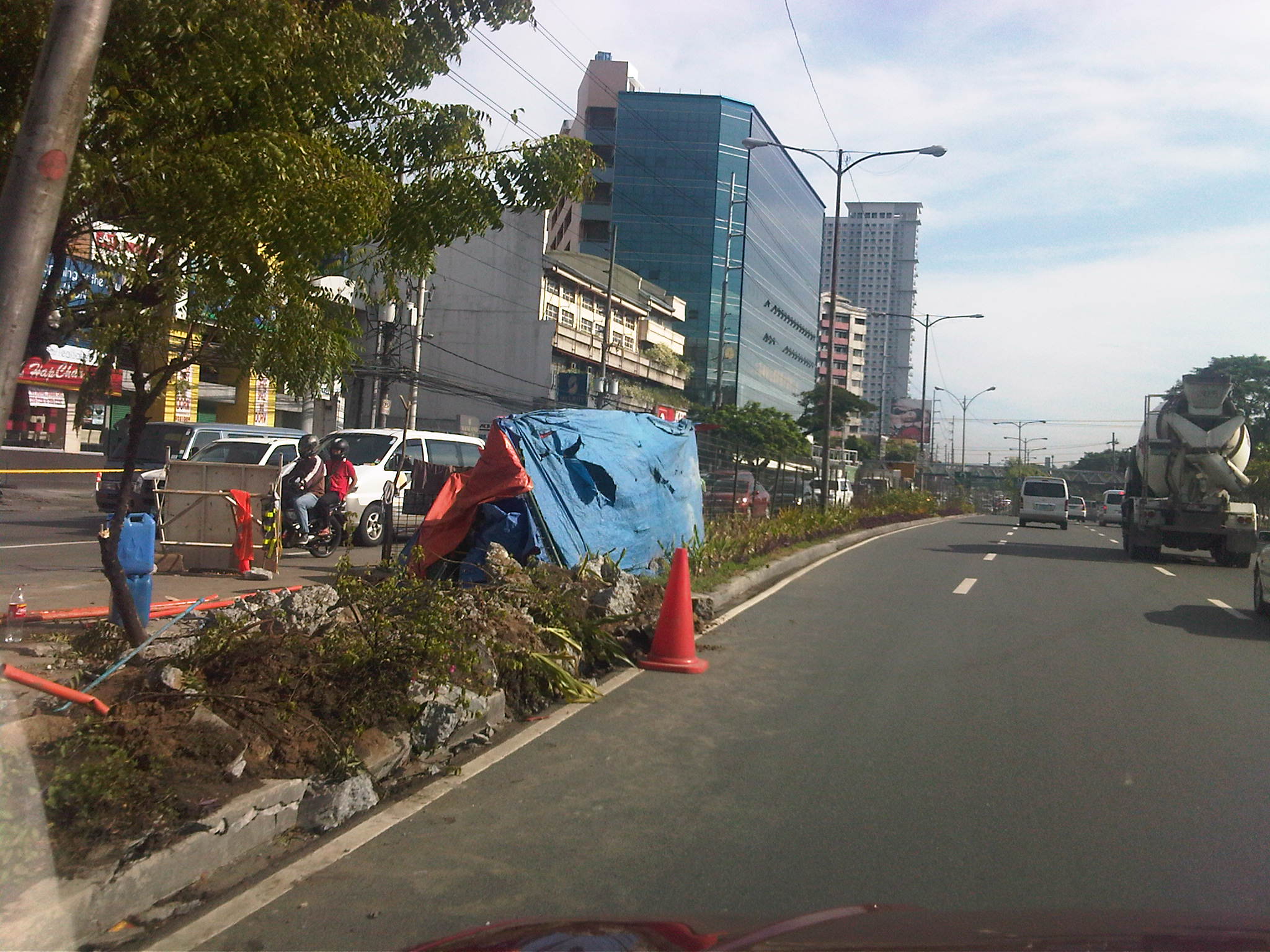 While the project is being implemented 2 lanes of the southbound side are effectively unusable to traffic with one lane being converted into a median and another being used by the contractor for their equipment and materials.
Once completed, the section of Katipunan should have 4 lanes along the northbound direction. Meanwhile, the southbound direction will have 5 lanes from the 6 it had after the west service road was removed as part of the U-turn scheme implementation by the MMDA 9 years ago. The 5 lanes are not all usable to general traffic since 1 or 2 lanes area often occupied by parked or standing vehicles in relation to the establishments on this side of Katipunan.
–
R-10: Smokey Mountain
I have not been to the Smokey Mountain area in a long while. The last time I’ve been there was in the mid 1990s (around 1995) when the area was still largely undeveloped and literally smoking from the smoldering garbage and the fires caused by methane released by the decomposing waste in the open dump site that grew to mountainous proportions. At the time, there were some efforts to alleviate the living conditions of people who resided here, many of whom depended on scavenging for junk and the production of charcoal. While Quezon City had its own mountains of garbage in Payatas, Smokey Mountain at the time symbolized poverty and desperation in the Philippines and took informal settlement to an even higher level than what we usually see around factories and vacant lots mainly in cities around the country where people try their luck in the hopes of having better conditions in life.
The following photos were taken while we were returning to Quezon City from a meeting in Manila. Our driver offered the idea to take this route as against the usual one that passed through Quezon Blvd and the Quiapo area, believing that a route via R-10 and C-4 would be faster. It was indeed faster and afforded me photo ops of the road environment along the way. Admittedly, the photos are not of good quality (blurry) as it was a gloomy afternoon and there was a slight drizzle the entire time we drove from the Port Area to UP Diliman.
 R-10 northbound – having an animated conversation with my fellow passenger, I almost forgot where we were and the area we were passing en route to C-4. I suddenly recognized the area when I saw what looked like a small hill in the horizon. It was then that I realized that that was no hill. It was a mountain – Smokey Mountain.
 Walk-up – on our right were 4-storey apartment buildings that looked like they were at the point of bursting what with all the protruding wood, metal and cardboard from the buildings. The original building is colored beige and all other “enhancements” are actually attempts to expand units probably made by residents to accommodate more (extended) family members.
 Extensions and expansions – I don’t know if the modifications to the tenements are legal or done with the approval of local authorities. I am sure though that these are unsafe and would probably collapse if a significant magnitude earthquake hit Metro Manila. Such are the urgent problems of mass housing that need to be addressed and quickly. But then, beneficiaries of such housing should not abuse their units to the point that they become decrepit and safety hazards.
 On-street parking – along R-10 were parked vehicles of which many were trucks and tricycles. The residential areas are served mainly by 3-wheelers including tricycles and pedicabs (padyak). Most business along the roadside cater to truckers: vulcanizing shops, vehicle repair, eateries and sari-sari stores that are part of the informal (and underground) economy; a major aspect of transport in the Philippines.
 Wide carriageway – the sections of R-10 in the Smokey Mountain area had something like 5 lanes per direction. There were no pavement markings so this is just an estimate based on the likely lane widths to factor in the significant truck traffic passing through the area. My previous memory of the place was a 2 lane road without curbs or shoulders.
 Foot of the mountain – this is what remains of Smokey Mountain after much of the garbage had been transferred, and the rest treated after dumping was ordered discontinued in the 1990s after outcries from environmentalists and various NGOs. The pavement conditions back in the 1990s were so bad that there were frequent congestion along the road and leachate from the garbage flowed along the roads. It was worse during the wet season as the rain and the usual winds sprayed a stinky mix unto vehicles passing the area. One had to wash or take his/her vehicle to the car wash as it will smell really bad. If you allow the vehicle to dry, its even worse because in addition to the smell, the car exterior would be sticky.
 Mountainside – there were garbage and other wastes, the homeless and informal settlers everywhere in the area. Mountains of waste were on either side of the road, and the smell will seep into a vehicle, never mind if one drove a new car as the stench was strong enough to overwhelm filters and air-conditioning given enough time.
The residential buildings in the preceding photos are not the first ones to be built in the area. In the early 1990’s a few walk-ups were constructed on the other side of the highway as a first effort to address the question of informal settlements around Smokey Mountain. I remember those to be the first ones to be abused by the residents/tenants themselves who seem to think it was their right rather than privilege to be granted housing and be beneficiaries of livelihood projects by both government and NGOs.
It is a good thing that the dump site was closed many years ago. Unfortunately, similar waste disposals are present elsewhere including parts of Payatas in Quezon City and San Mateo in Rizal. Open dump sites should not be an option for many LGUs without the proper guidance of experts from pertinent government agencies and the private sector. Proper and suitable waste management systems should be a priority for LGUs.
–
Port Area Roads 1: Bonifacio Drive to 2nd Street
Heading to a meeting at the DPWH’s National Capital Region office one afternoon, I made sure to take photos of the roads en route to their building located across the Sout Harbor’s container terminal and before the (and therefore near) the Baseco compound along 2nd Street.
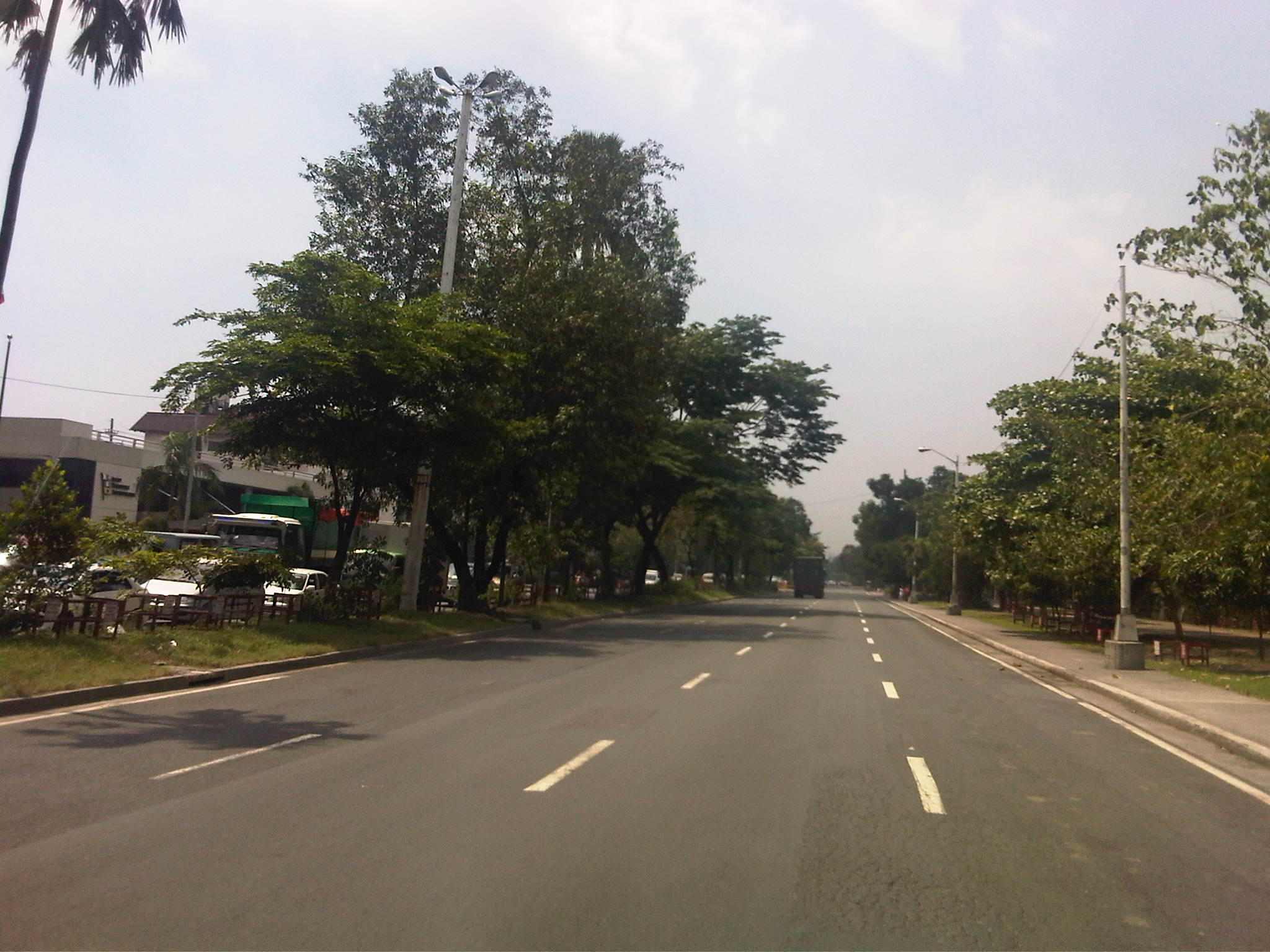 Bonifacio Drive – this section is part of Radial Road 1 (R-1) and has 4 lanes per direction. It stretches from R-1’s intersection with Burgos (in front of The Manila Hotel) where Roxas Boulevard (the road more associated with R-1) has its north end. Bonifacio Drive has a generous median and the northbound side is lined with trees on either side since Intramuros is on the right.
 DPWH Head Office – this is the approach to the median opening for the DPWH Head Office located along Bonifacio Drive. The Head Office houses the Offices of the Secretary, Undersecretaries and Assistant Secretaries of the department. It also houses the Planning Service and Bureau of Design. There used to be a railroad behind the DPWH building when the port area was connected to the railway system particularly to carry freight from the ships calling on the Port of Manila.
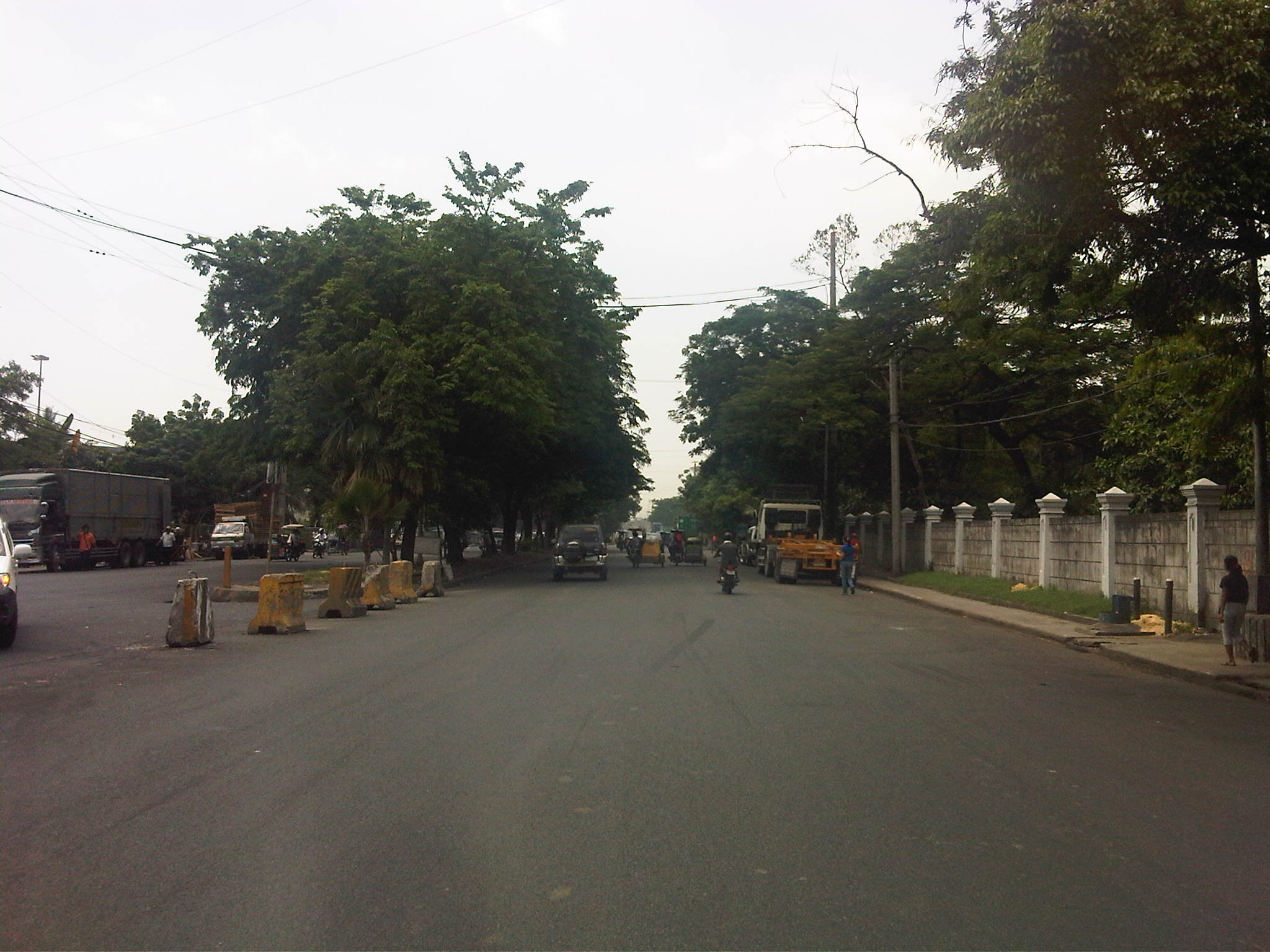 Walls of Intramuros – the walls on the right are not The Walls but those of the Intramuros Golf Club, which is located in the area that used to be the buffer zone before the Walled City, much of which are part of a golf course. It is interesting to note that despite the excellent condition of the pavement, much of Bonifacio Drive does not have lane markings. In the previous photo, the markings are badly weathered. It can be observed that many trucks are parked along either side of the road – a preview of more trucks parked along the curbside in the area.
 Approach to the Del Pan Bridge – the bridge is where Radial Road 1 ends and Radial Road 10 begins. We didn’t cross the bridge spanning the mouth of the Pasig River but instead took the service road that led under the bridge to what is technically part of the Muelle Del Rio. The interchange provides access to Baseco and the container terminal as well as for vehicles making U-turns towards the southbound side of Bonifacio Drive.
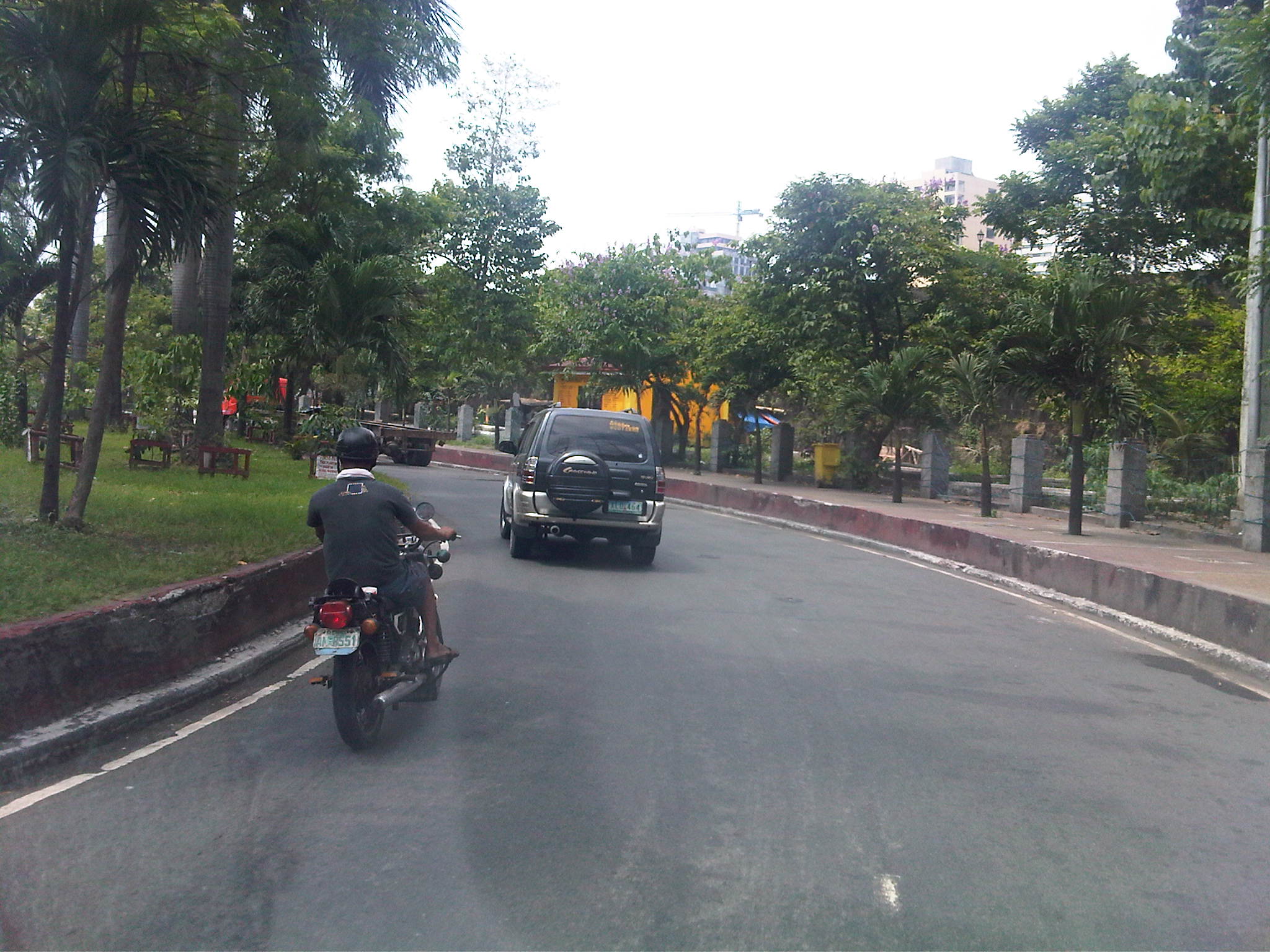 Service road – keeping to the right of Bonifacio Drive, we took the turn prior to Del Pan Bridge. On the right side is a buffer area prior to the walls of Fort Santiago, which is strategically located at the mouth of the Pasig River.
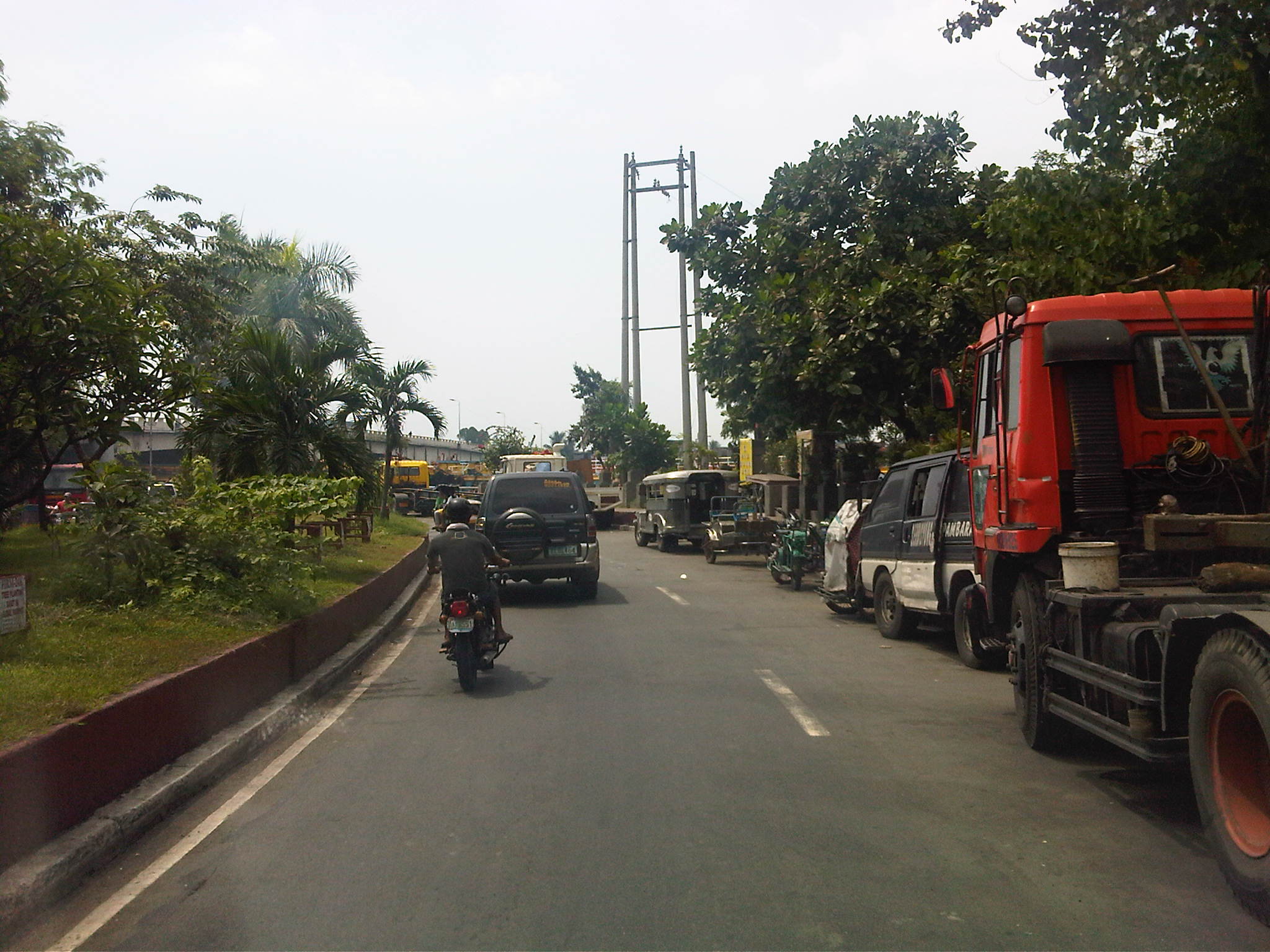 Reduced capacity – the service road’s capacity is significantly reduced by the vehicles, mostly trucks, parked along the road. I am not sure why this is allowed but toleration of such practices goes to show the lack of adequate facilities for freight vehicles around the Port Area, which is something that needs urgent attention.
 More parked trucks – many trucks we saw had trailers and were probably waiting to pick up containers at the South Harbor. Conspicuously, many trucks like the yellow ones in the photo seem to be owned by a few companies, who perhaps have no suitable depots or garage facilities for their trucks. Of course, there is also the constraints brought about by the truck ban being enforced in Metro Manila. But this seems to be a flimsy excuse considering many roads in the area allow truck traffic throughout the day, being designated as trucks routes.
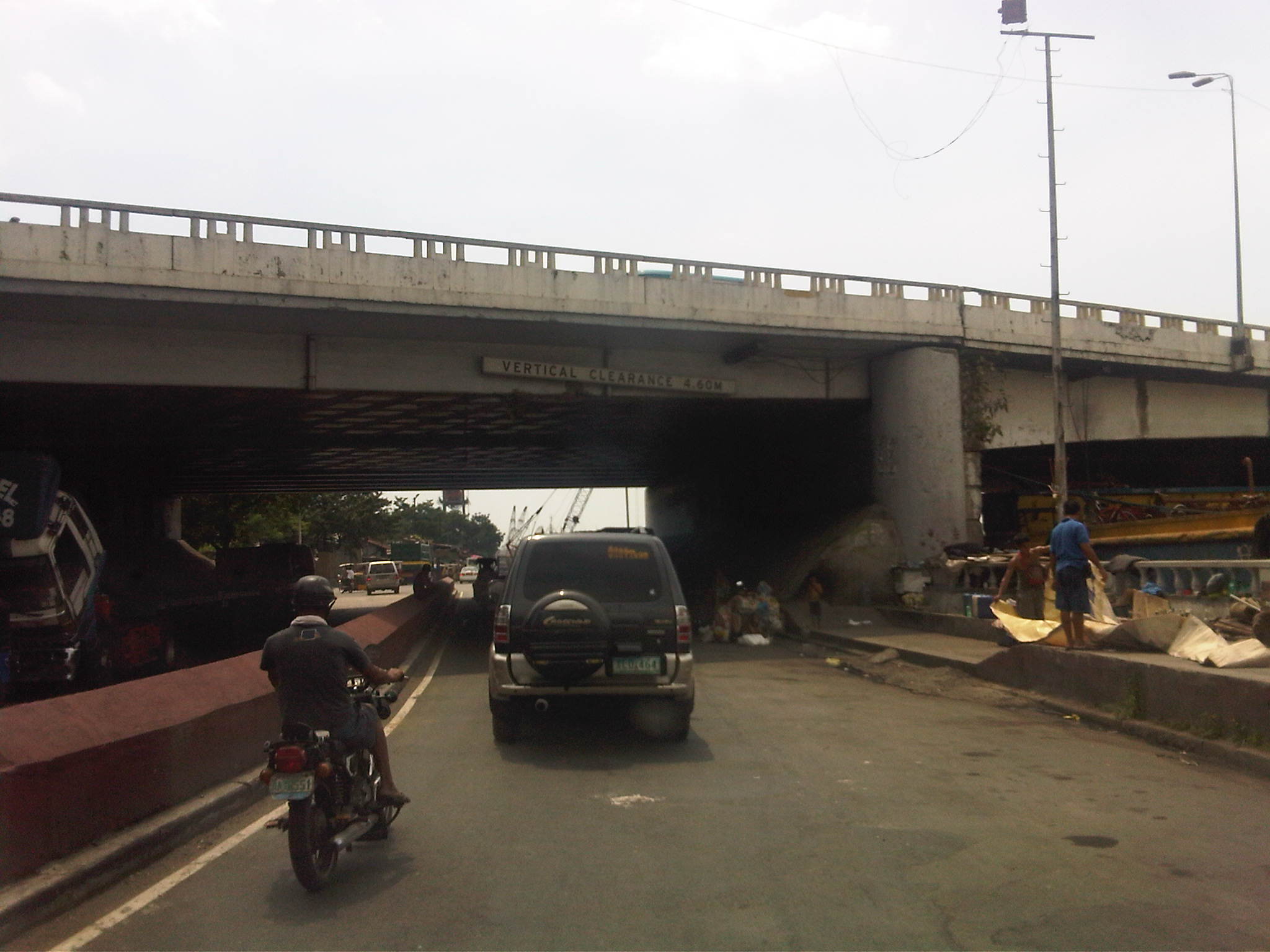 Beneath the bridge – under the Del Pan Bridge, there are more parked trucks. Many are being maintained or repaired and there are informal settlers among the truckers camped out under the cover of the wide bridge. There are also barges lined along the river that also seem to be waiting for their turn to be towed and/or loaded.
 Intersection – the channelization at this point along the service road guides motorists to where the road branches out into the Muelle Del Rio (straight) and the segment towards 2nd Street and the ramp to Bonifacio Drive southbound (left).
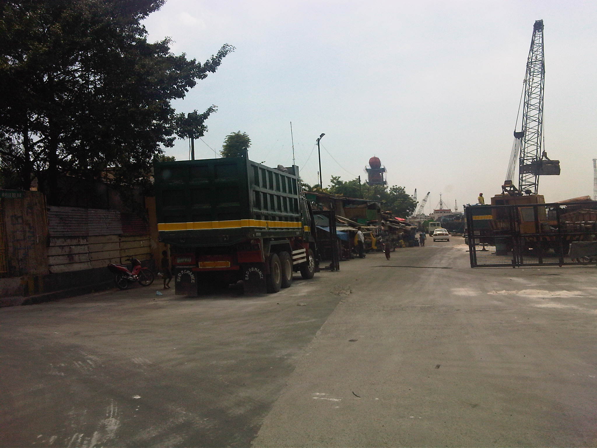 Muelle Del Rio – the road is supposed to be part of the Muelle Del Rio but is being used as part of the port where cranes load and unload materials unto barges lined along the river mouth. There is a gate structure, which suggests that the area is limited access to general traffic. The road is actually a dead-end.
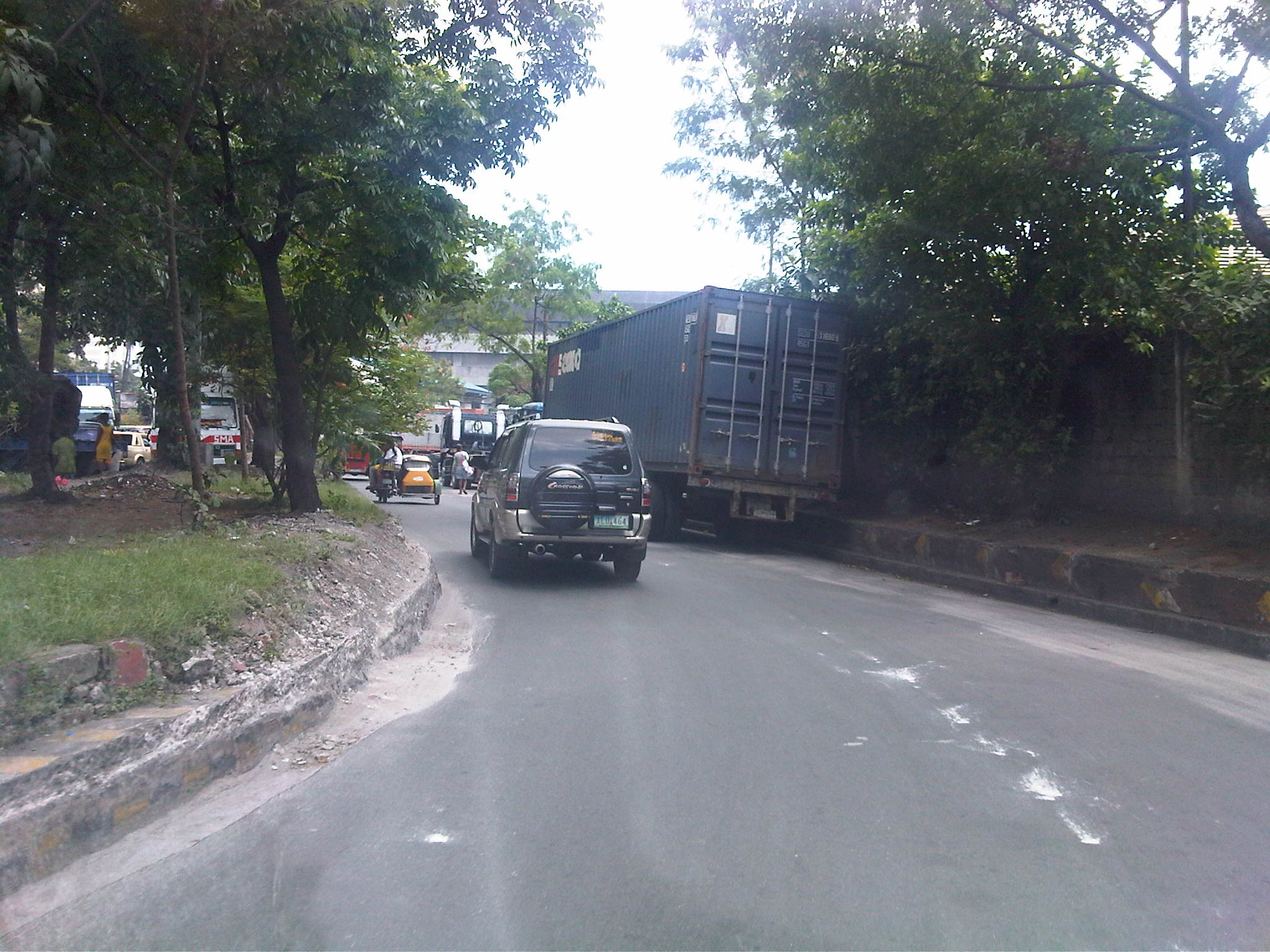 U-turn – turning left at the intersection had us practically making a U-turn under the bridge. In front of us were more parked trucks as we proceeded towards the junction to 2nd Street. Notice the damaged curbs? These are caused by trucks maneuvering and often hitting the curbs.
 Container terminal – trucks lined along 2nd Street included those bound for the South Harbor’s container terminal. The one with the blue container is entering the gate, which entails some clearance procedures conducted by security. Truckers seem oblivious to the general traffic that they block on a regular basis. Our friends from the DPWH state that this congestion due to the trucks is among the complaints they get from their visitors.
 More queuing – just when we thought the queue of trucks were only because of the South Harbor’s container terminal, we saw this line of trucks past the gate. The buildings on the right are DPWH’s (NCR and Bureau of Maintenance). There is often no other choice but to run counter-flow to the traffic in order to get to our meeting.
 Home free – our driver managed to get through the queue of trucks as truck drivers allowed us to turn towards the DPWH offices after we got their attention and signaled towards our destination.
 Return trip block – after the meeting, we had to go back to where we came from as 2nd Street was a dead-end. We were greeted by the same queue that occupied one lane of the road and necessitated for counter flows like the lorry partially covered by the trailer in the photo.
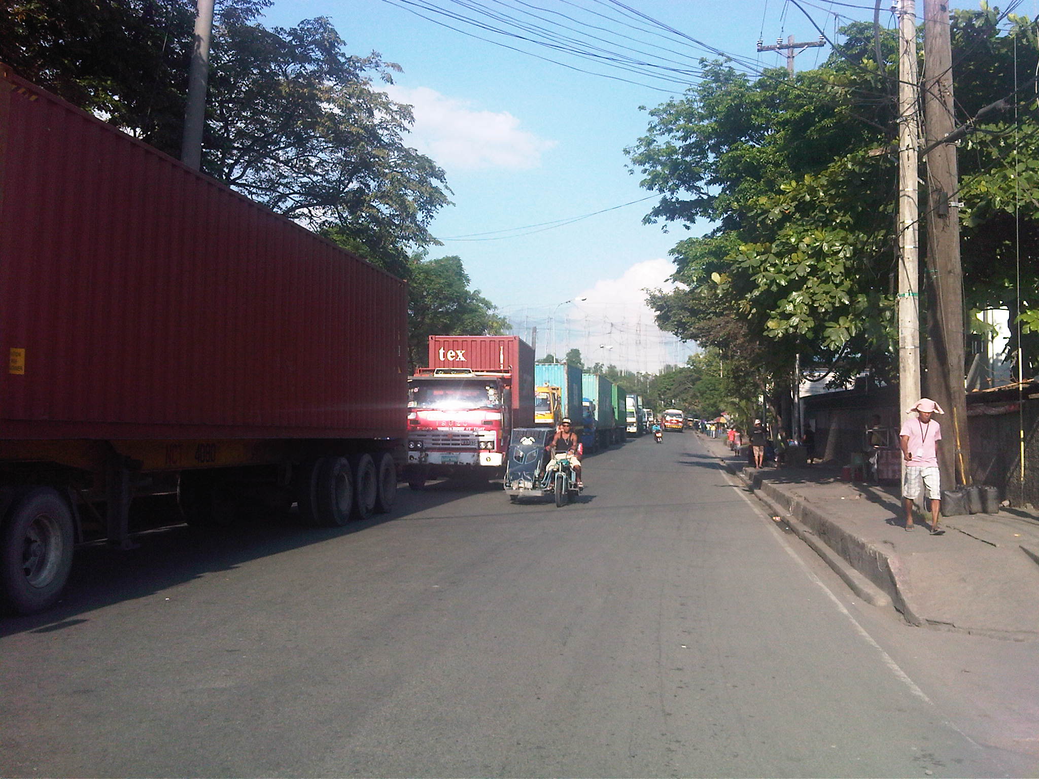 Container traffic – most if not all the trucks bound for the terminal carried containers. I assume these were laden with various goods that are to be loaded unto ships at the port. Those that didn’t have containers were probably picking up freight previously unloaded at the terminal and cleared for transport. I can only imagine what if there was still a railroad line operating to transport such containerized freight. These would have been more efficient for long distance origins and destinations where trucks will only have to provide feeder or collector services (distribution).
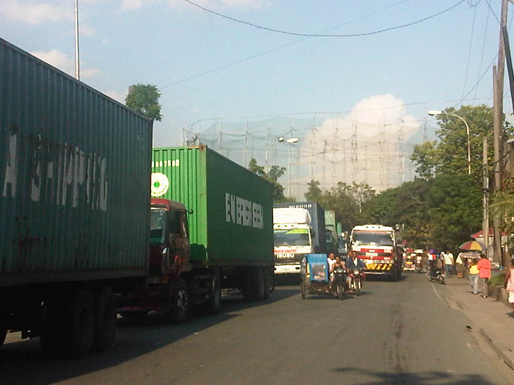 Hogging the lanes – as if the queued trucks occupying one lane were not enough to cause congestion, this truck followed the counter-flowing tricycles (Yes, there are tricycles here serving the Baseco compound and 2nd Street.). It was a good thing the 2nd Street’s lane widths were quite generous so it could actually fit 3 lanes. Curiously, there are no pavement markings on the street to delineate the traffic lanes.
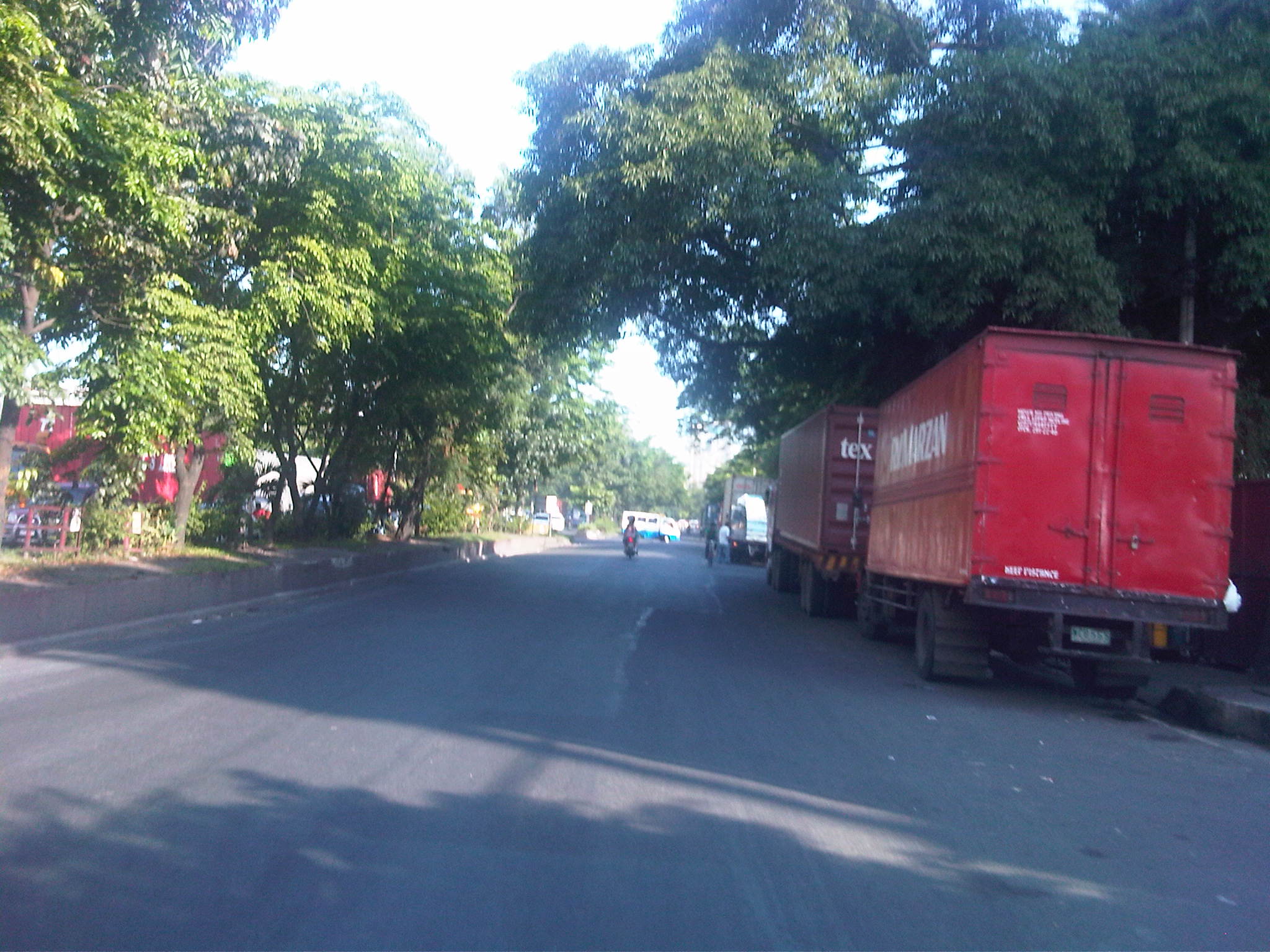 Trucks galore – finally getting back on Bonifacio Drive (southbound) to return to Quezon City, we were greeted with more trucks, this time parked along R-1. While traffic was generally light, I couldn’t help but wonder why these practices of trucks are allowed to continue and why such issues have not been addressed by the City of Manila and the Philippine Ports Authority.
 Tolerated too? – we spotted these tricycles with the yellow sidecars along Bonifacio Drive. These apparently serve the streets (local roads) in the port area. Tricycles are supposed to be banned from national roads so they should not be traversing Bonifacio Drive nor should they be allowed to have informal terminals here.
 Underground economy – vendors and hawkers at the island to the entrance to 13th Street (aka Oca, Sr.) at the Anda Circle (rotonda).
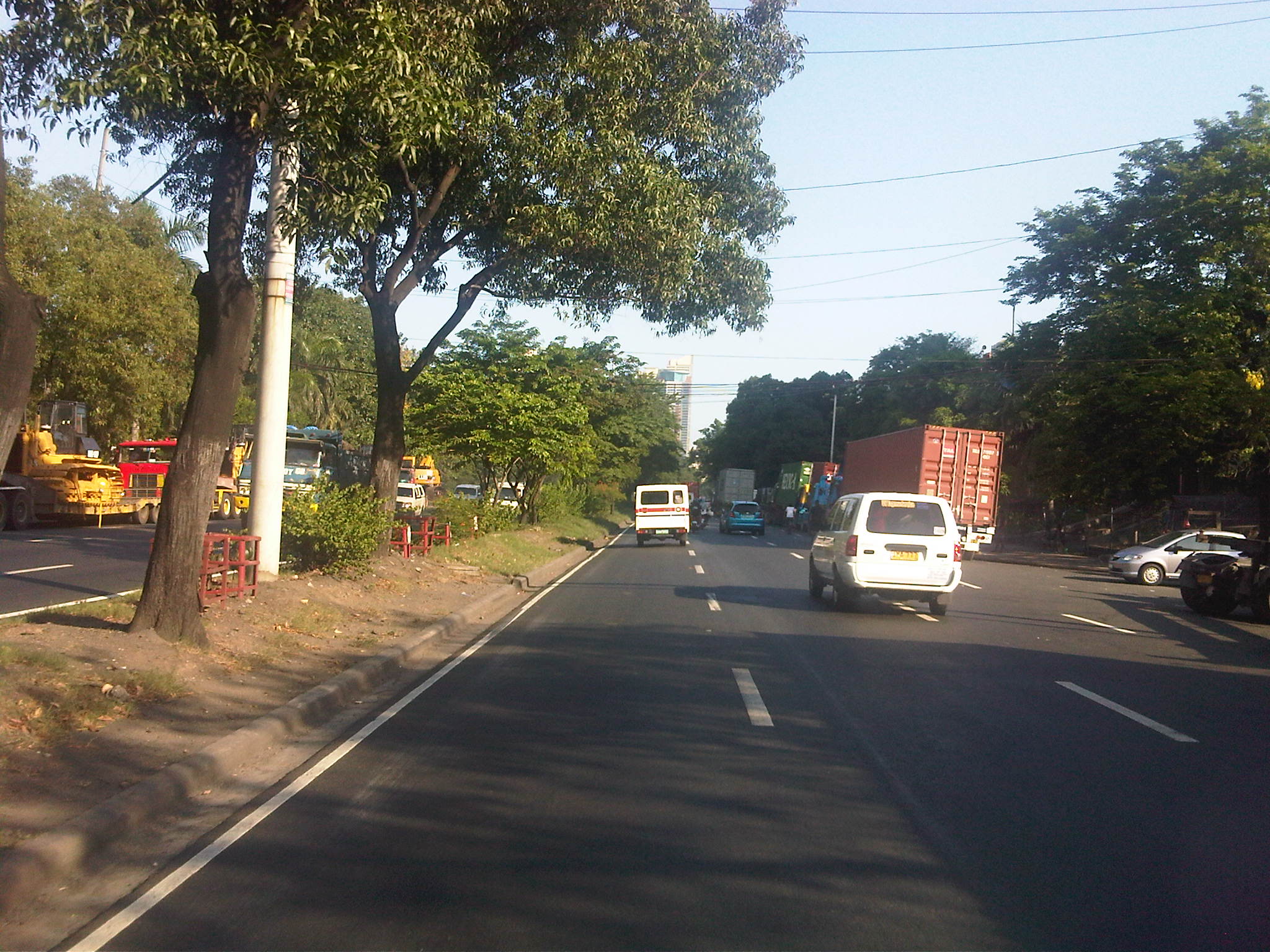 Model roads – past the Anda Circle, the well-maintained section of Bonifacio Drive was complete with lane markings and noticeably clean.
 Proof of concept – Bonifacio Drive should indeed be according to standards considering that its just in front of the DPWH Head Office. It would be an embarrassment for the department if the road in its backyard is poorly maintained.
–
Fort Bonifacio flyover
After only seeing the new overpass to C5 northbound from Bonifacio Global City when it was under construction and after its completion from the perspective of a traveler using C5, I was finally able to use the flyover a couple of weeks ago. The following photos show the newly constructed overpass connecting 36th Street to C5 northbound that is supposed to decongest the older interchange emanating from 26th Street/McKinley Parkway.
 Approach to the new overpass – the chevrons are supposed to guide motorists as to the separation of traffic lanes. The lane to the right leads to the service road for Market! Market! and connects with C5 southbound.
 Curvature – the alignment from the approach to the turn towards C5 is actually a reverse curve
 View from the top – this is what motorists will see upon reaching the top of the overpass as he/she turns towards C5, which is shown on the left of the photo. There is also a good view of the Sierra Madre mountains.
 Descent – traffic along the two-lane overpass was very light when we used it; quite ideal for speeding a bit to save on time on our return to the university
 Separate ways – the lines delineating the two lanes of the flyover transform into chevrons and directional arrows are visible to guide motorists merging into C5 and traveling in the direction of Pasig and Quezon City, and those heading towards Taguig and Pateros via the service on the right.
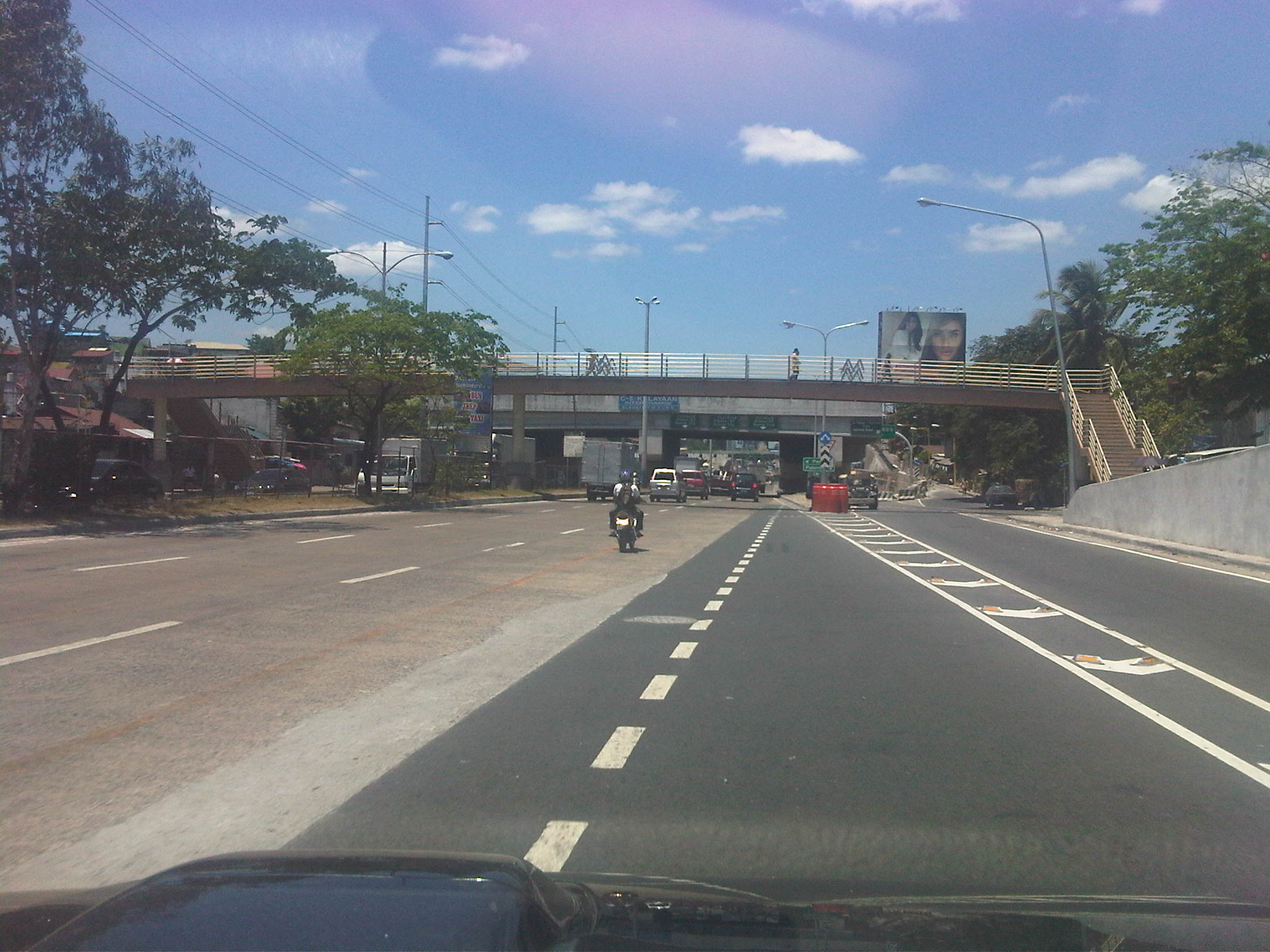 Overpasses galore – the south component of the elevated U-turn pair, a remnant of the previous MMDA dispensation, is obscured by the pedestrian overpass connecting the East Rembo districts separated by C5.
 Interchange? – the pair of elevated U-turns is called the C5-Kalayaan interchange, quite a stretch to many traffic and highway engineers who were critical of the facilities that were constructed instead of the recommended underpass along C5.
–
Morayta Street and some thoughts on reviving Manila
The University Belt in Manila is called such because of the proliferation of schools, particularly universities and colleges, in the area. Most recognizable are institutions such as the University of Sto. Tomas, University of the East, Far Eastern University, Polytechnic University of the Philippines, Centro Escolar University, Manuel L. Quezon University, San Beda College, San Sebastian College, La Consolacion College, National Teachers College and College of the Holy Spirit. The U-belt, as it is also known, stretches all the way to Intramuros and Padre Faura where many other institutions like UP Manila, Mapua, Letran, Lyceum, PNU and Sta. Isabel College are located.
The streets in the area are very familiar to many as they are usually indicated in the sign boards of jeepneys and buses plying routes in the area. These include Recto, Lerma, Espana, Legarda, Mendiola and Quezon Blvd. An ubiquitous street in the area is currently named Nicanor Reyes Sr., in honor of the founder of the Far Eastern University, the main gates of which are located along the street. Nicanor Reyes, of course, is more popularly known as Morayta for most people even the younger generation who picked up the old name of the street, which is more familiar with public transport drivers (jeepneys and taxis). Morayta connects Espana with Recto.
 Morayta Street (Nicanor Reyes St.) – Recto bound traffic with the FEU on the right side. There is practically two lanes per direction but one lane is usually occupied by parked or waiting vehicles. Add to this the operations of public utility vehicles as the street is along jeepney routes.
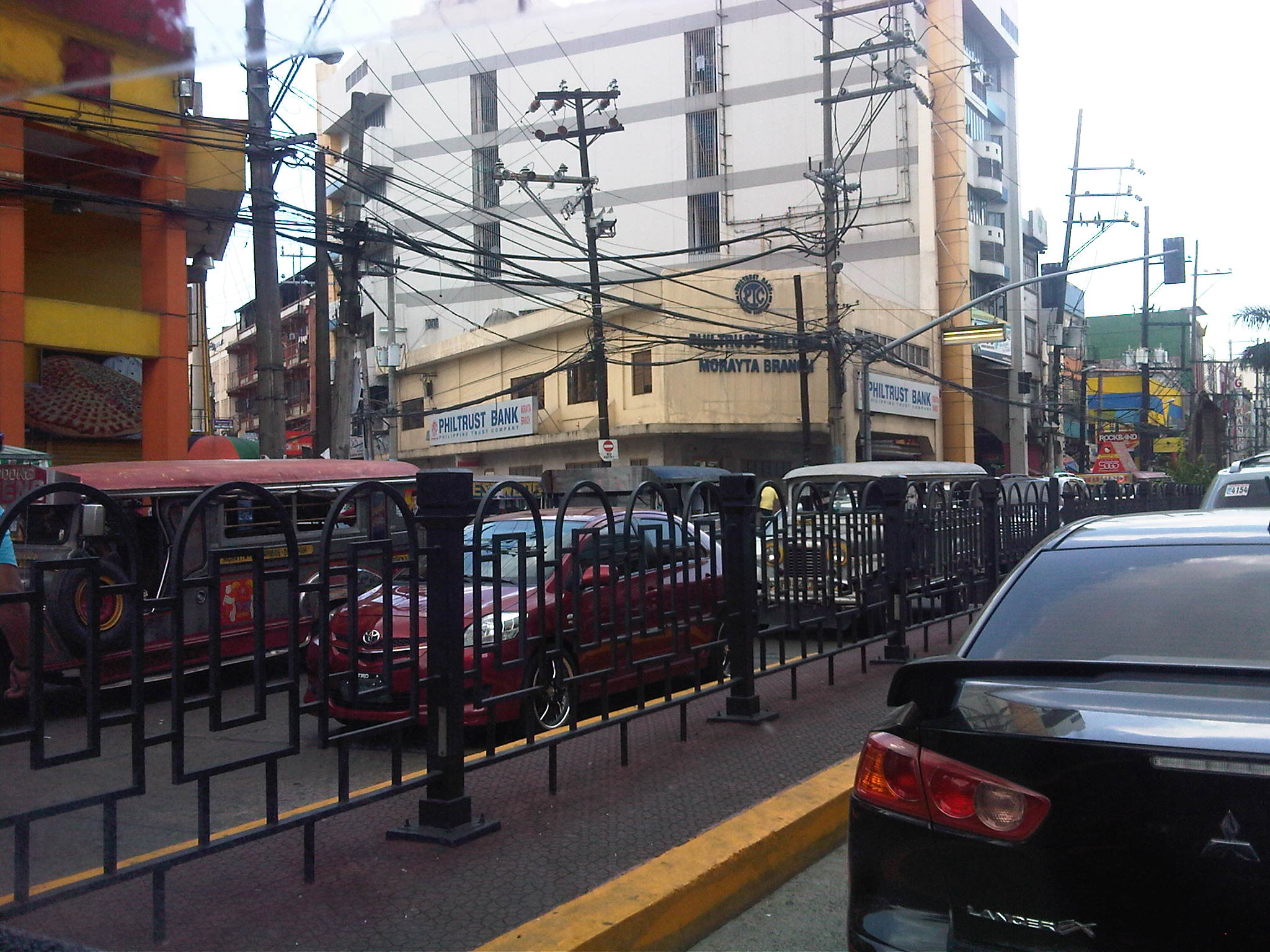 Railings – street railings on the median island along Morayta help minimize jaywalking along the busy street. There are no median openings for vehicles along the street though there are junctions like the one with R. Papa Street shown in the photo.
 Pedestrian traffic signal – there is a traffic signal along Morayta for pedestrians crossing the street in front of the FEU main gate. Such signals may be equipped with a button for on-demand green indications.
 Pedestrian flow – because of the schools, there are many students (generally in uniform) in the area. Each school would usually have a distinct uniform for females though some are generally in white with their school logos or IDs the only distinguishing aspects. Meanwhile, male students usually wear white polos and black pants. The photo above shows students crossing in front of the FEU gate. The photo also shows the typical commercial establishments in the area that include fast food and book shops.
 FEU main gate – the university has several access/egress points along Morayta including those for people only and this gate where vehicles may pass. Many universities (with only few exceptions) in the University Belt have very limited space with some having practically no campuses to speak of but only buildings where they conduct their activities.
 Parking and standing – parked and standing (waiting) vehicles occupy significant road space. While standing vehicles have their drivers and could be made to move, the parked vehicles generally take up a lane that could otherwise be used by pedestrians. I am not aware of any pay parking regulations along Morayta. There are no signs indicating pay parking schedules and rates, and have not seen parking attendants like the ones in Makati.
 Approach to Recto – the intersection with Recto Ave. is signalized and the median island is tapered to accommodate vehicles queuing to turn left towards Mendiola or Legarda. The LRT Line 2 superstructure is also visible in the photo above Recto. Pedestrians walk along the building arcades that are typical of most older buildings in Manila, which are similar to those in other old cities in the Philippines.
 Entry from Recto – the photo shows Morayta as our vehicle turned right from Recto. Taken during an April afternoon, there is very light traffic between Recto and R. Papa, and not so many students as those shown in the previous photos, which were incidentally taken during the morning of the same day. Note the vehicles parked on the curbside.
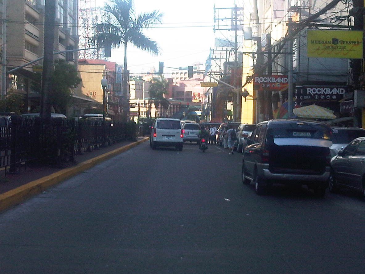 Build-up – approaching the signalized pedestrian crossing, we noticed some congestion due to the stopped vehicles and the presence of pedestrians. The section between R. Papa and Espana is usually congested due to several reasons including the presence of an informal jeepney terminal at the corner of Espana and Morayta.
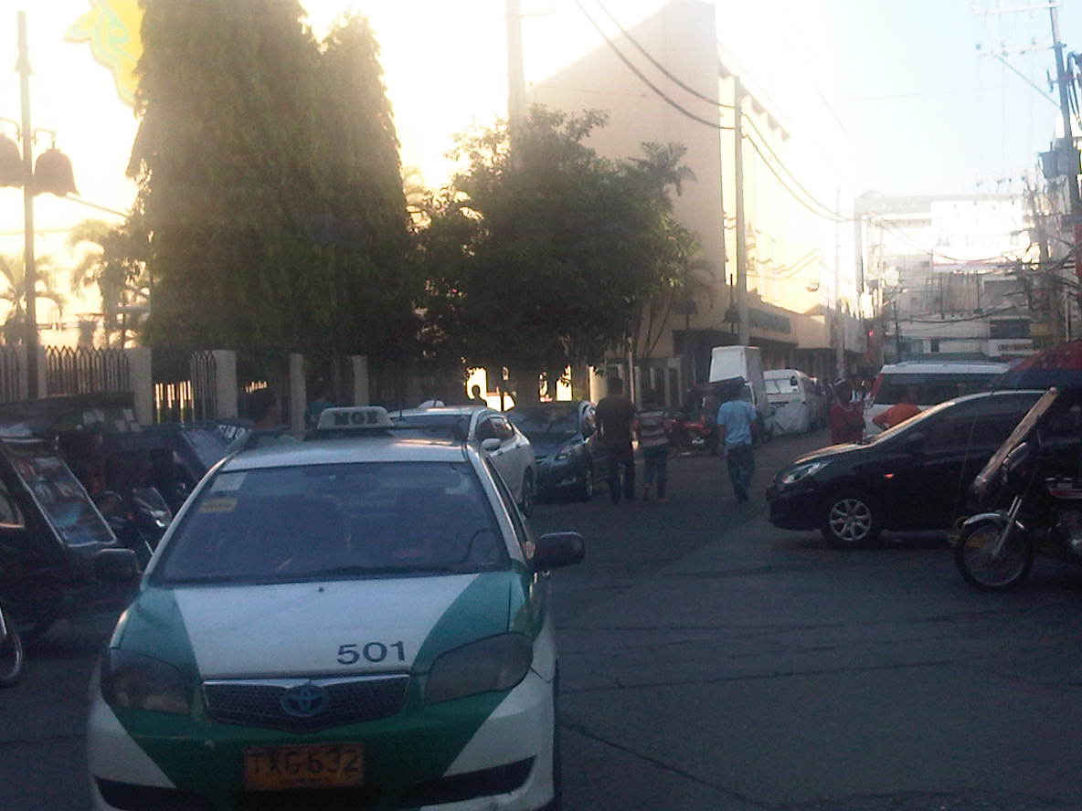 Junction with Paredes – a peek at Paredes St. shows more parked vehicles and tricycles lined up and waiting for passengers. Public transport demand along Manila’s side streets are served by tricycles and pedicabs, and until a few months ago by what were called “kuligligs.” The latter were also paratransit modes that were the motorized versions of pedicabs fitted with motors or generators much like the ones used in farm equipment or motorized bancas in seaside towns. These are called tricyboats in Davao. Meanwhile, the term “kuliglig” is used in many parts of Luzon for farm tractors used as public transport in the rural areas. Paredes St. is quite busy as the Professional Regulations Commission (PRC) is located along the street.
 Informal terminal – the approach to Espana is usually congested in part due to the informal jeepney terminal from the corner of the junction. Some jeepneys even tend to bypass the line and pick-up passengers right at the corner and often blocking turning traffic.
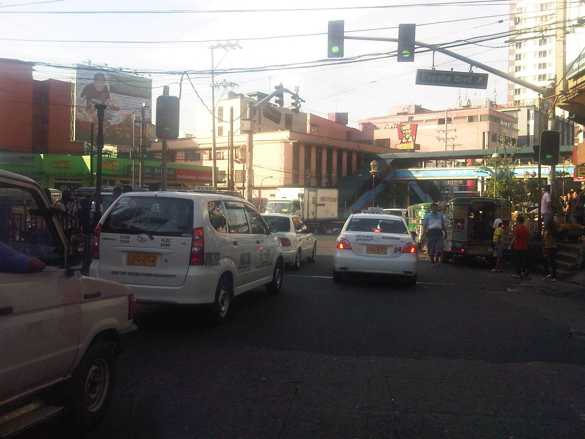 Approach to Espana – the intersection is signalized but there are jeepneys usually camped out at the corner, effectively reducing throughput along the intersection.
There are many streets like Morayta in Manila that can actually be evaluated and considered for pedestrianization if not for road diets. Careful studies and perhaps an experiment here and there should show the feasibility and practicality of generally closing some streets to motor vehicles including tricycles and jeepneys. For some streets, public transport access may be maintained but there should be genuine effort to improve pedestrian facilities to enhance the experience of walking in what are supposed to be historic streets in Manila. Considering the volume of foot traffic in the area, one would assume that the City of Manila should be thinking about how to bring down motor vehicle traffic while providing for public transport and walking needs in the city. Perhaps some radical plans need to be formulated including out of the box ideas to revive Manila streets such as Morayta? I would like to see the schools come up with these plans and perhaps be instrumental in implementing the same and not just for the sake of their students and staff who are exposed to pollution, congestion and safety risks on a daily basis. It can be done if people and institutions will collaborate to make it happen.
–
San Fernando, Pampanga Poblacion
I had the opportunity to do a project in San Fernando, Pampanga and went around the poblacion taking photos showing transport and traffic conditions in the old city center. To many travelers, perhaps the San Fernando they know is associated with what they see along the Gapan-San Fernando-Olongapo Road (also known as Jose Abad Santos Ave along this stretch in the city) after exiting the NLEX. There is much commercial development along the stretch of the highway between NLEX and McArthur Highway and of course, around the exit itself as mall giants SM and Robinsons have branches there. The “real” San Fernando is located only a few kilometers south from GSO via McArthur and the poblacion reveals a lot about the heritage or old character of the city and perhaps its potential for restoration as an example of urban development during the Spanish times.
Following are a collection of photographs from field work that we did in the city. We took a walk around the principal roads including McArthur, Tiomico, Consunji, Gen. Hizon., Abad Santos and Limjoco. Tiomico eventually becomes the Capitol Blvd. as it leads to the provincial capitol complex while Consunji becomes Sto. Nino Viejo when traversed westbound. The latter becomes Lazatin Blvd, which crosses GSO towards the north. Gen. Hizon appears to be the original alignment of the Manila North Road (McArthur), which passed through the heart of the city. Sometime in the not so distant past, a bypass road was constructed as traffic became constricted in the poblacion and many travelers not bound for San Fernando were inconvenienced by the congestion. This is clear from the maps of the area.
 Poblacion preview – The San Fernando cathedral as seen from the approach of the bridge along Gen. Hizon Ave. The bridge itself appears to be an old one. It is a two-lane structure and its lamp posts reminded me of a similar bridge in Melaka, Malaysia I saw only this year.
 The cathedral as seen from the bridge – the junction immediately after the bridge is Gen. Hizon’s intersection with Consunji Ave. The latter is one way eastbound so left turns are prohibited at the junction. Vehicles may go through towards Tiomico (the next junction right after the cathedral) or right where travelers will immediately see city hall on the right side of the road and just across from the cathedral; the typical set-up of most old towns in the Philippines.
 Gen. Hizon Ave. towards Tiomico – the commercial establishments around the cathedral are very similar to those you would in many other old cities and towns around the country. Pedestrians are supposed to take the arcade sidewalks just in front of the ground floors of the buildings on the left and underneath their second floors. These seem to be blocked by merchandise or stalls so some pedestrians take the street instead. The photo also shows typical on-street parking in the poblacion.
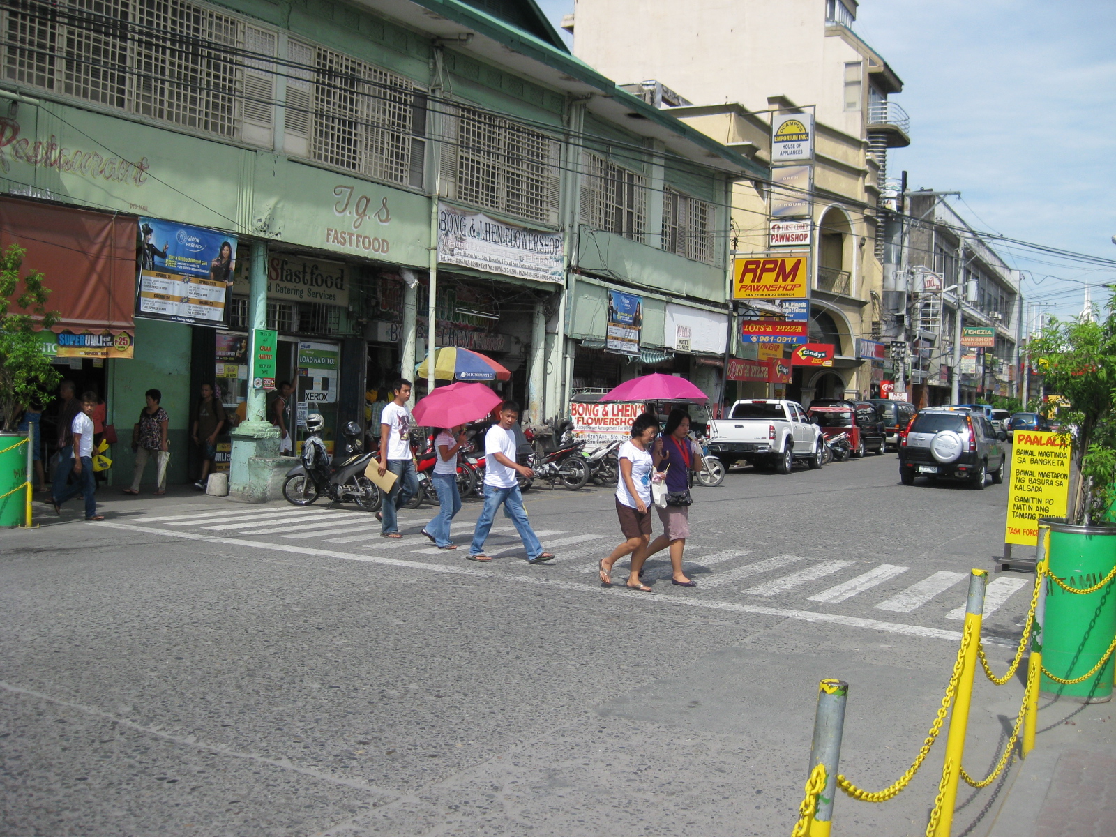 Pedestrian flow – the photo shows pedestrians crossing Gen. Hizon from the commercial establishments on the left towards the cathedral. The photo also shows people using the walkways integrated with the buildings (arcade), providing shelters against the elements, in this case the scorching sun.
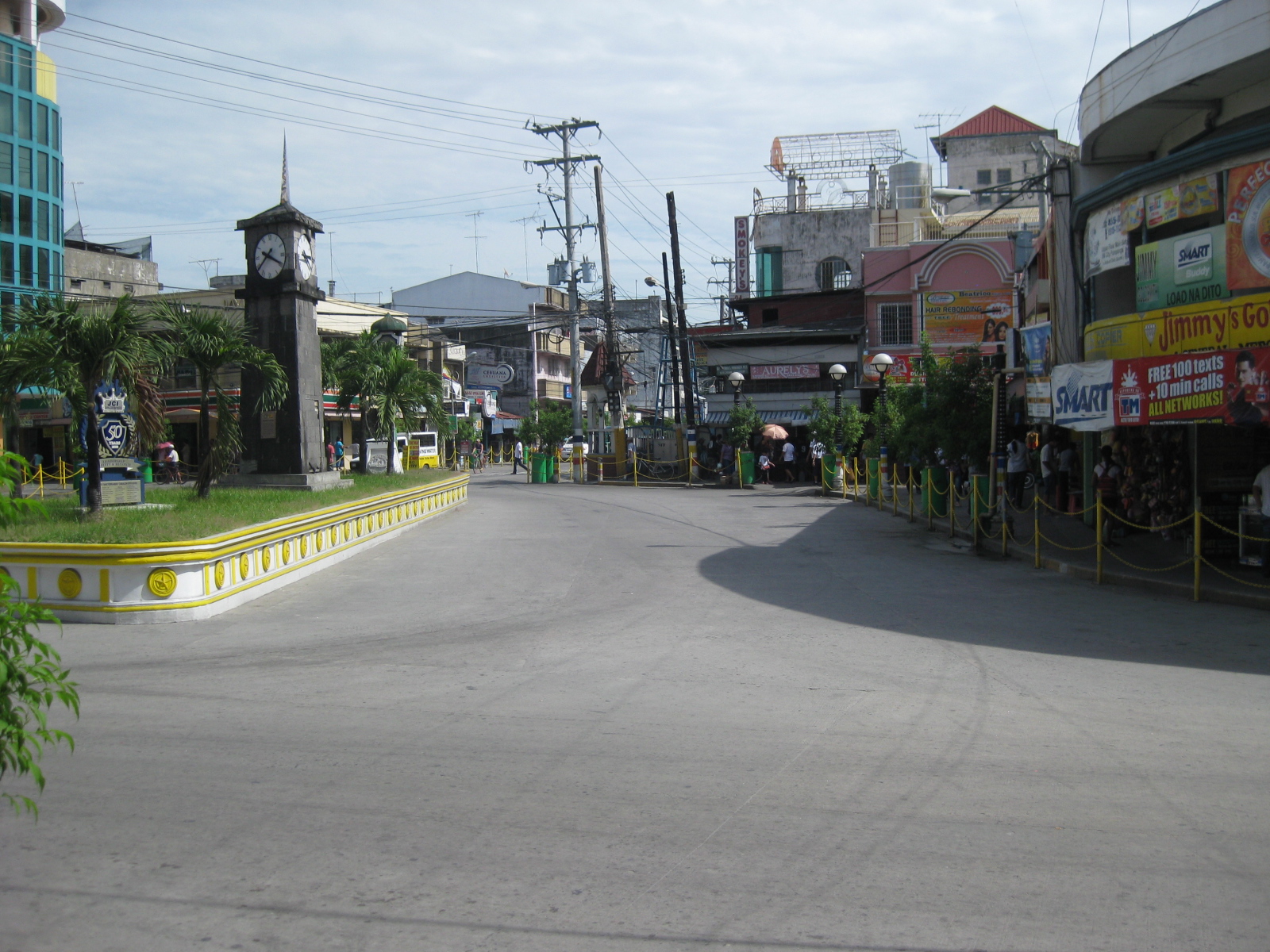 Rotonda? – at what seems to be the end of Gen. Hizon is a curious set-up which functions as a rotonda. Tiomico is also a one way street (westbound) and there is another intersection just ahead in the photo after turning right from Gen. Hizon.
 Off-set intersection – Gen. Hizon actually continues as B. Mendoza Ave. (which eventually leads to a junction with McArthur to the north) from the junction that is identified by the 7-Eleven on one of its corners that is visible in the photo. The public market is just across from the building housing the convenience store.
 City hall – the building is just across from the cathedral and the parking problems in the city are clear from this photo alone. City halls generate a lot of traffic due to the transactions, meetings and other activities associated with the institution. On weekdays, most parking in front of the building and across at the cathedral are probably by people with business at city hall. During Sundays, parking would be for church-goers.
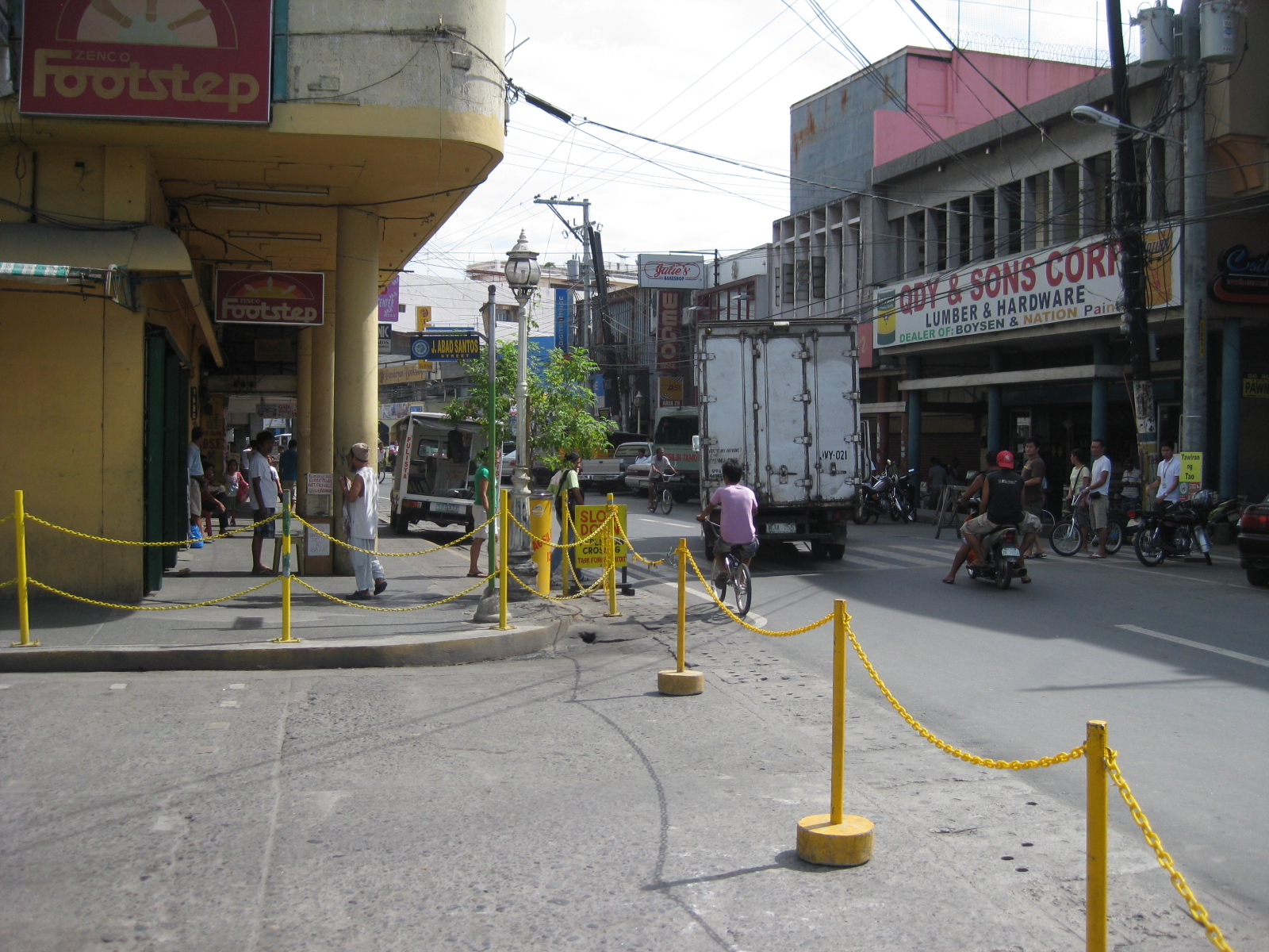 Walkways – the arcade/pedestrian walkways I were referring to earlier are much like the one shown in the left of the photo in front of a shoe store. The set-up allows for pedestrians to be shielded from the elements as they should be able to walk comfortably without getting wet during the rainy season or exposed directly to the sun during the summer. The street on the right is Consunji and leads to the public market, part of which is just behind the yellow building.
 Jose Abad Santos Street – the stretch was closed to motor vehicles at the time we walked around the poblacion. There was a sports event at the time and the street was being used for races – note the writing along the zebra crossing indicating the starting line for the race.
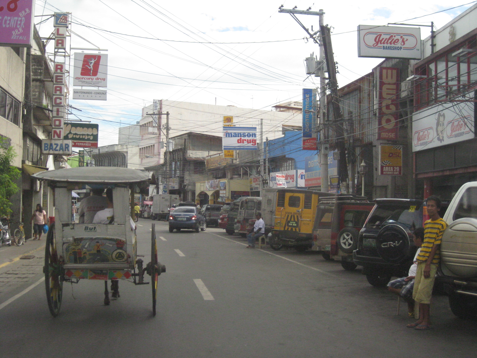 Consunji by the market – the one-way street is lined with commercial establishments and part of the street is used as parking, a common problem in other poblacions in similar cities.
 Prohibition? – this is Tiomico Street in the public market area. The sign on the lower left says 3-wheelers are not allowed along this stretch of the street and yet we found most of the vehicles to be exactly what is supposed to be prohibited – tricycles and pedicabs. The stretch could have been nice if it were developed into a pedestrian street instead with limited access to motor vehicles (perhaps for deliveries only?) much like those market streets in Japan.
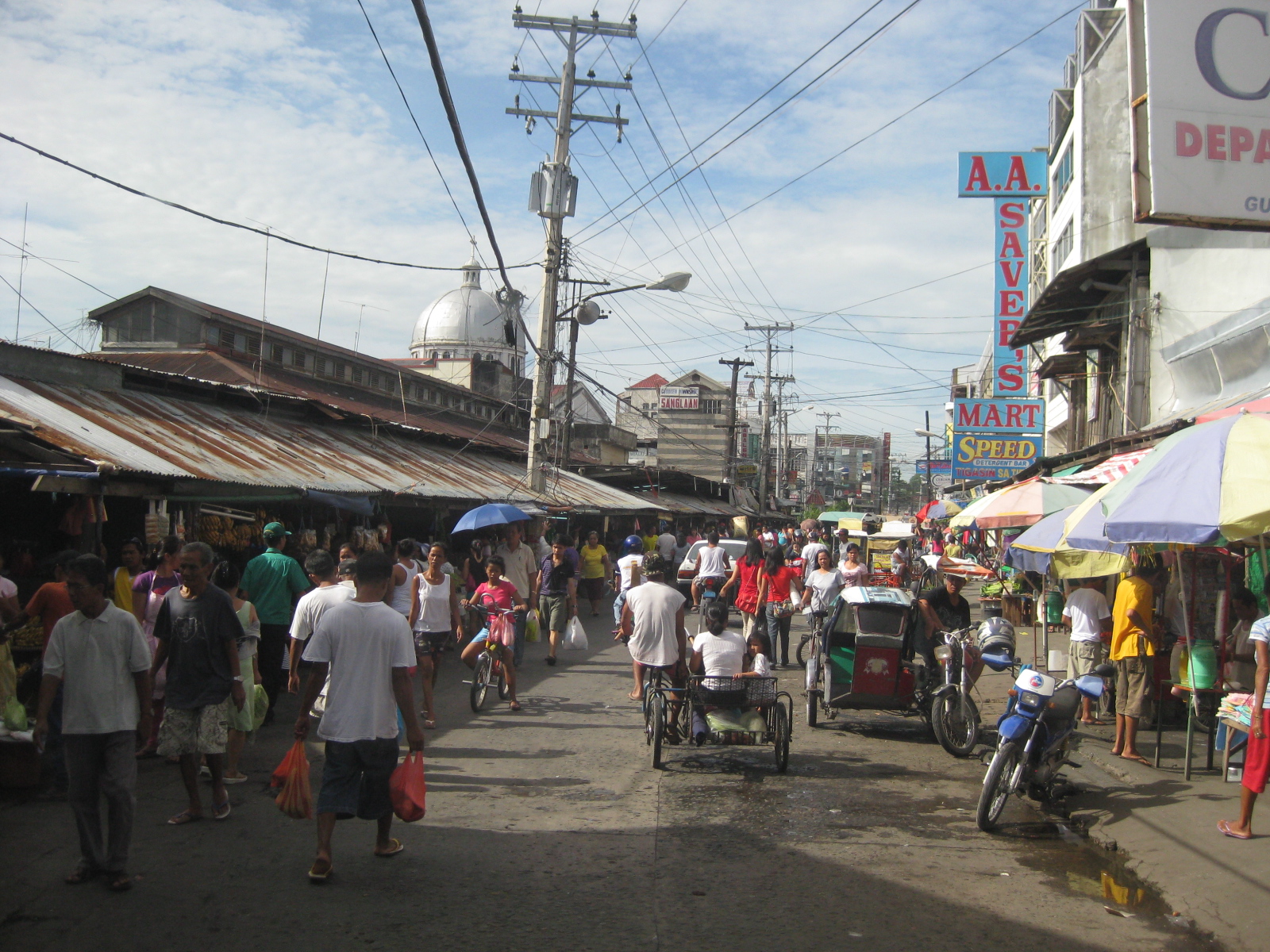 Typical mayhem – further down the street is a mix of people, bicycles, pedicabs, tricycles, and other motor vehicles. There’s potential here for re-development or transformation that would enable the revival of this commercial district that includes the public market.
 Blast from the past – aside from the typical tricycles and pedicabs providing for local public transport, we were a bit surprised that there were still calesas, or two-wheelers pulled by horses. At the time (2010), the kutseros or drivers charged PhP 10 to 20 (about 20 to 50 US cents) per passenger depending on the destination. These calesas are all registered with the local government, and they have license plates indicating their registration.
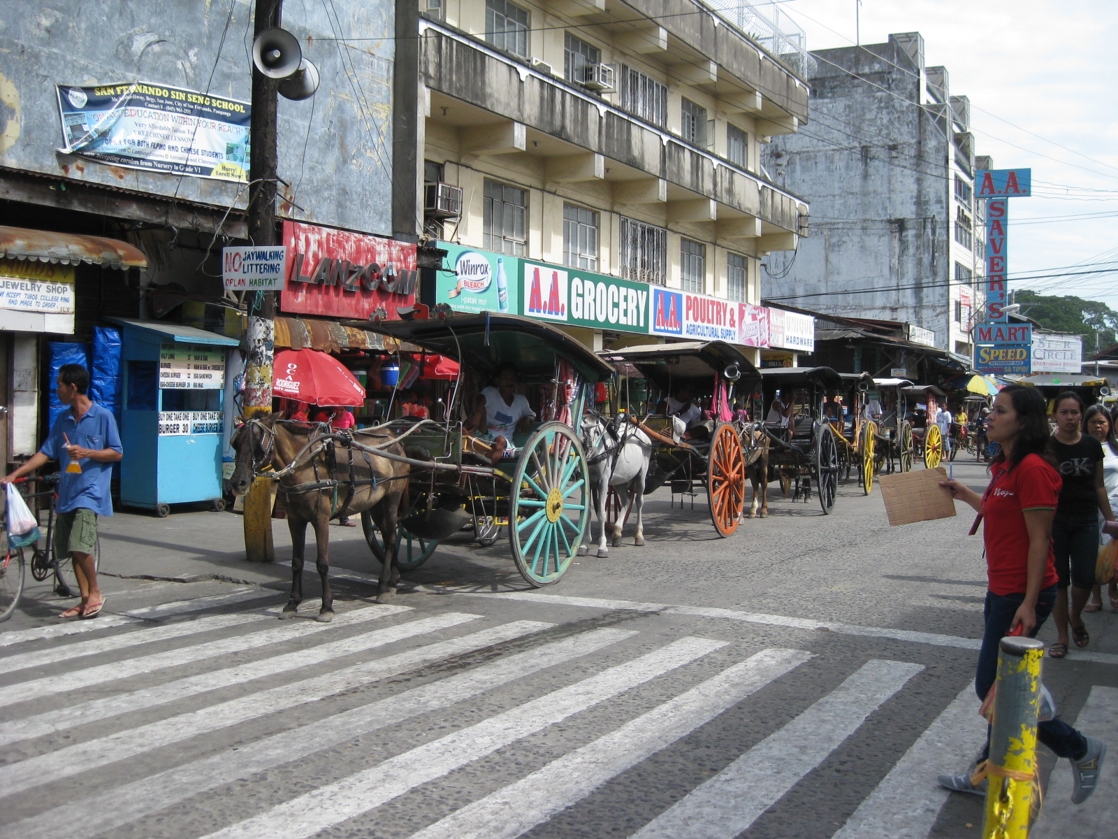 Queue – most of the horses pulling the calesas looked healthy enough and well-cared for. The kutseros were kind enough to answer our inquiries about their operations. I think the city should carefully consider how to take advantage of its heritage/character to promote sustainable transport including walking, NMT and the calesas for moving around the poblacion and its immediate environs.
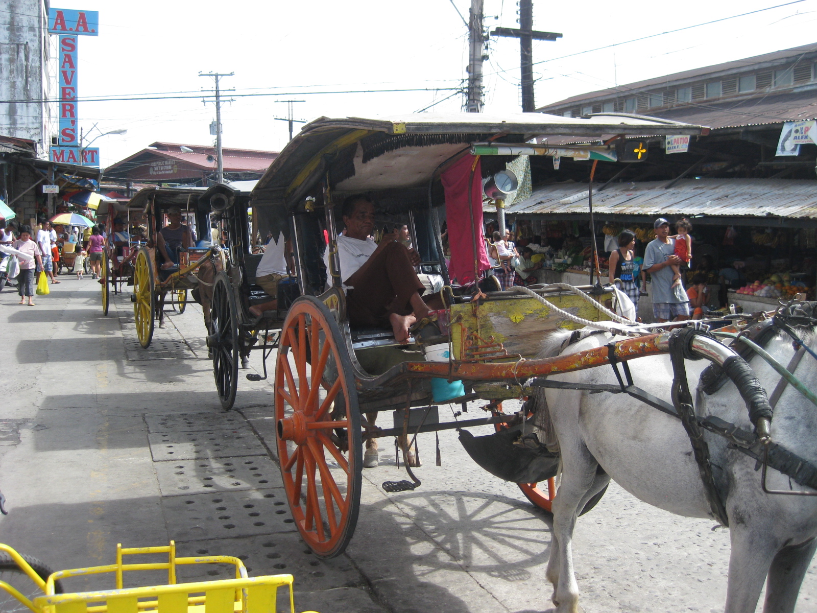 Two-seaters – the passenger capacity for the calesas is two. To address the poop issue, there is a contraption just behind the horse and hanging under the carriage that catches dung and prevents it from being spilled unto the roads. I assume these are disposed of properly.
 Alternative design – the pedicabs in San Fernando are different from the conventional ones we see in other cities or towns. Noticeable from the photo is that this is not your regular bicycle with a sidecar set-up. These are fabricated 3-wheelers that seem to be sleeker if not more stable than the usual pedicabs we’ve seen.
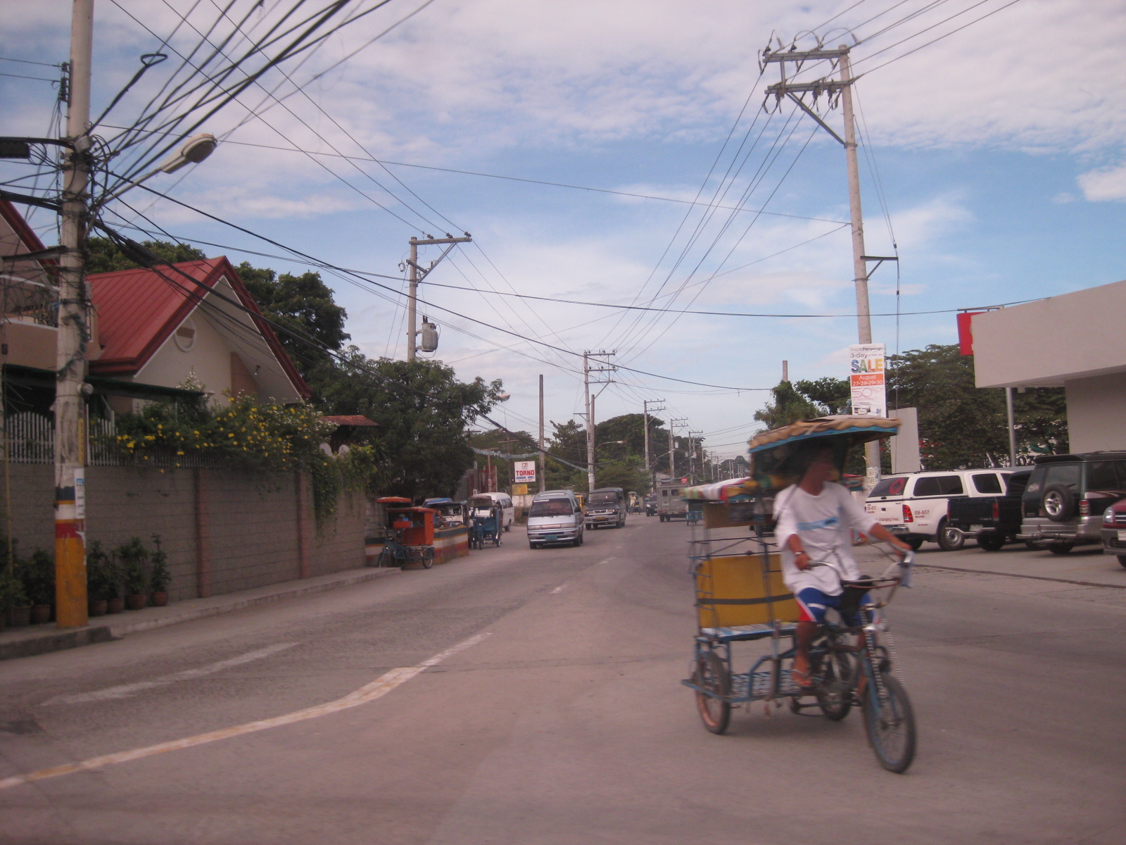
 Tiomico Street – just after Gen. Hizon, one gets an idea of the challenges for transport and traffic in San Fernando. The one-way street has no pavement markings, obstructed signs (if any at all), no pedestrian sidewalks and vehicles each doing their own thing along the road (e.g., motorcycle zigzagging through traffic, jeepneys stopping anywhere, etc.).
 Walkability – people generally walk along the carriageway, as shown in the photo, due to a lack of proper facilities like sidewalks. Though there are remnants of zebra crossings, people also generally cross anywhere and so contribute to the mayhem along the streets. There was a proposal for a pedestrian overpass but such is so inappropriate given the narrow streets. No one will use such an overpass as it would be more an inconvenience to pedestrians. A more appropriate treatment would probably be traffic calming or other approaches that would prioritize pedestrians over motor vehicles in the poblacion area. The lot where jeepney terminal mentioned on the left side of the photo is now an SM mall.
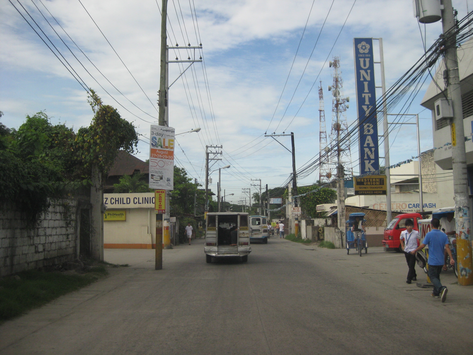 Hazards – the relocation of electric poles seem to have been an afterthought when they re-paved Tiomico. These are not easily seen at night and could lead to crashes should vehicles miscalculate their locations. The road drainage may be found beneath concrete covers on either side of the road such as those along which the people in the photo are walking over. These are supposed to be easier to maintain as crews can just lift the covers to remove blocks such as garbage.
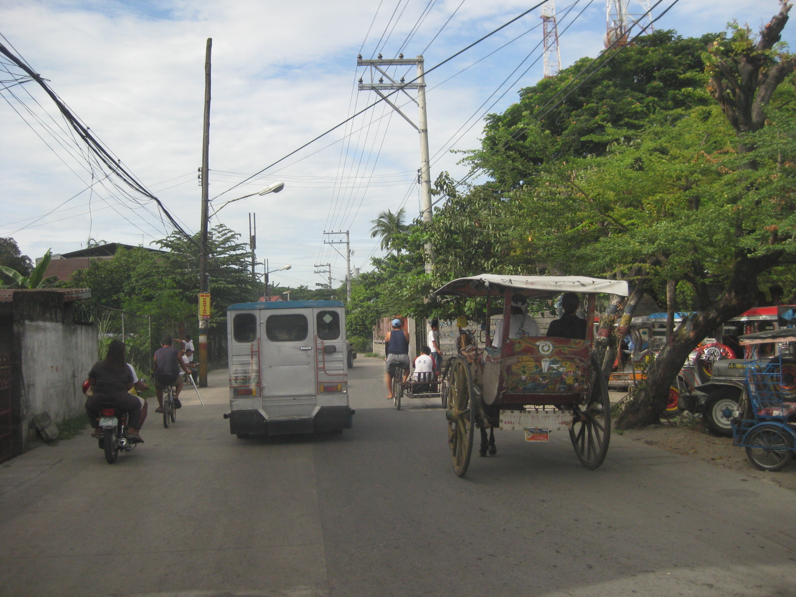 Traffic mix – I like this photo because it shows almost all modes of transport operating in the poblacion: calesas, pedicabs, bicycles, motorcycles, and jeepneys. Its a good thing trucks are banned from using these roads. Otherwise, traffic would be worse.
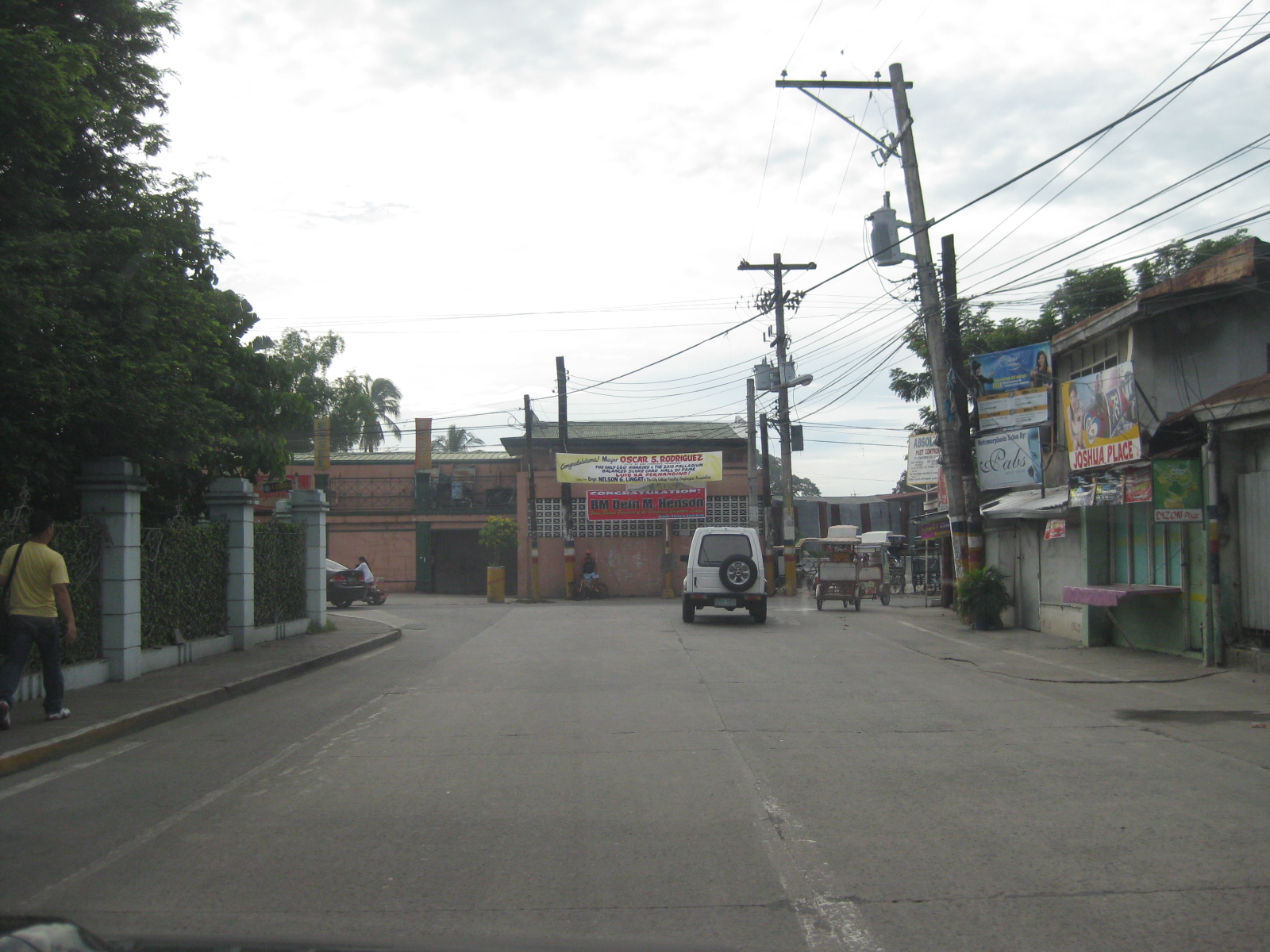
 Junction – approach to the junction of Tiomico, Lazatin Street (left) and Capitol Boulevard (right). There were no signs to indicate the approach to the intersection as well as for traffic control (e.g., stop or yield signs). There are also no pavement markings.
 Capitol – the photo shows vehicles approaching from Capitol Boulevard, which comprise generous (wide) two lanes. Sidewalks were on either side of the boulevard except where there were driveways and parking spaces.
 Junction – approach to the junction of Lazatin St., Consunji Street (left) and Sto. Nino Viejo Road (right). Again, there are no signs and pavement markings are already weathered.
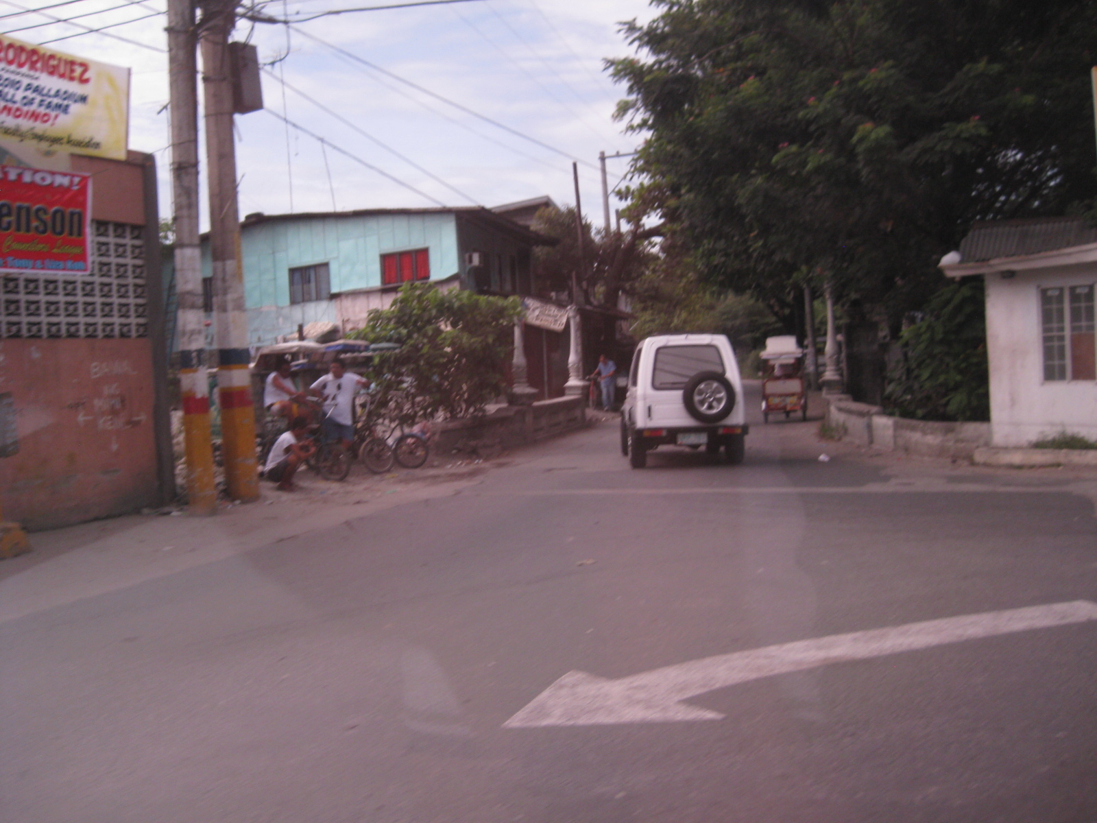 Old bridge – there is a short, old bridge just after the junction. The bridge is over a creek connecting to the main river and has 4 lamp posts that are similar to the main bridge along Gen. Hizon, and perhaps the inspiration for the lamp posts along Consunji Street.
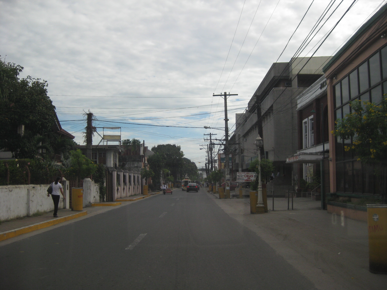 Consunji Street – is also a two-lane, one way street. Some sections have pedestrian facilities like the sidewalk on the left. The pavement markings were already weathered but still visible during the daytime. There are also less electric poles along this street and the lamp posts are appropriate in design.
 Heritage House – the structure on the left is an ancestral house, of which there are many in the province of Pampanga and especially around San Fernando, which is one of the oldest towns in the province.
 Recognition – the marker by the National Historical Institute recognizes the structure as a Heritage House. The smaller plaque provides a description of the house and those who lived or used it, highlighting its significance. There are other heritage houses as well as old houses that have not been given such a distinction (family not prominent enough?) but which deserve preservation.
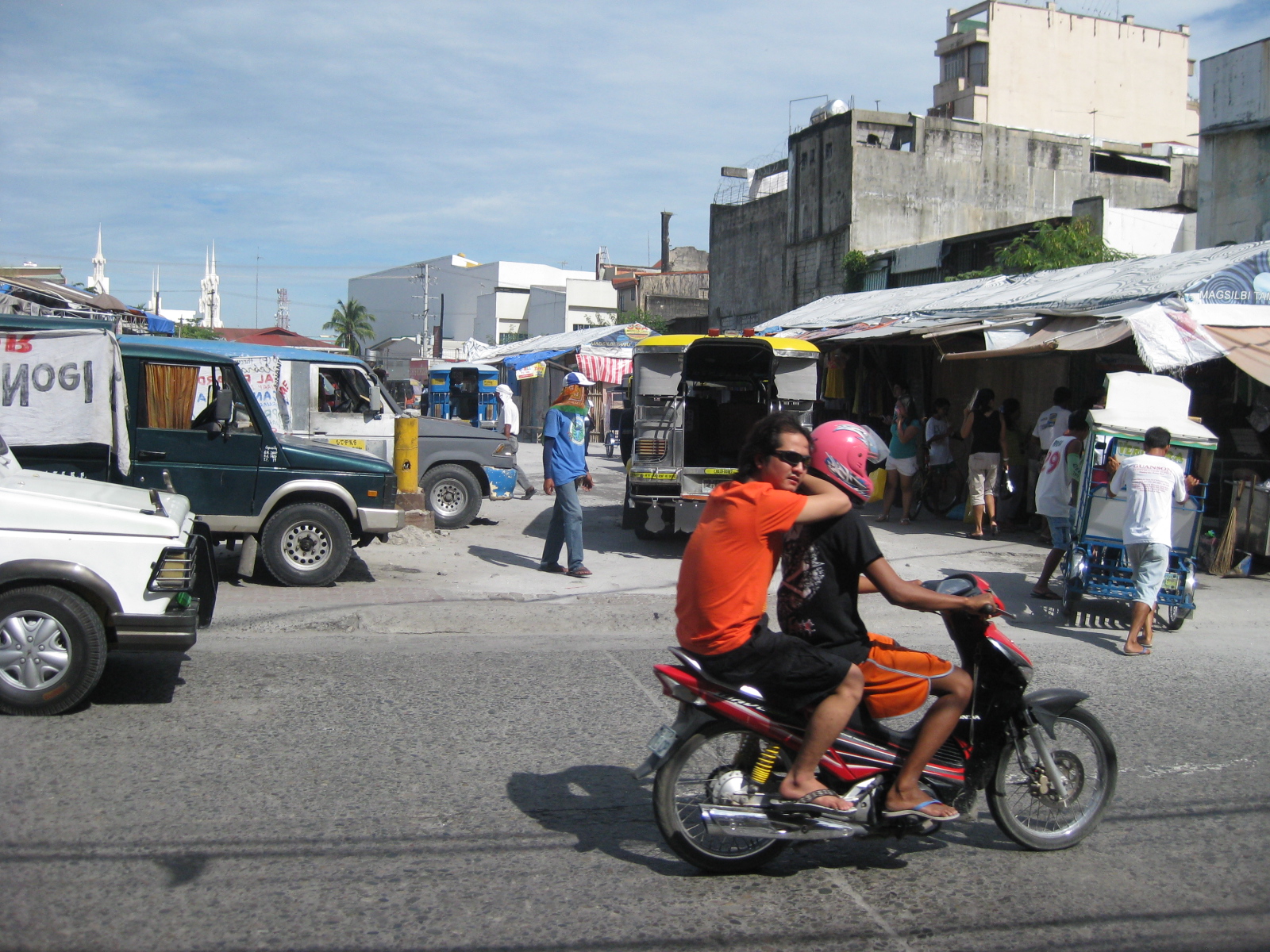 Future and present site – this lot was being used by jeepneys as their terminal at the time of our field work. The lot is bounded by Tiomico St. in the northwest and Consunji St. in the southeast, and is where the recently opened SM City San Fernando is situated.
 Approach from Consunji – there are no pavement markings (yellow box) defining the intersection and no signs to help in traffic control.
–
Quezon Avenue: Elliptical to EDSA
Quezon Avenue is part of Radial Road 7 (R-7) and stretches from the Elliptical Road (also technically part of R-7) in Quezon City to the Welcome Rotonda in Manila, where it connects with Espana Avenue. It has intersections with several major roads including EDSA (C-4) and Araneta Avenue (C-3). The following photos show the sections from Elliptical Road to EDSA. The following photos were taken along the Manila-bound side of the highway showing features along the sections including pedestrian footbridges and the underpass along Quezon Avenue that bypasses junctions with Agham Road and EDSA.
 Overpass connecting the Lung Center side (left) with the Parks & Wildlife side (right)
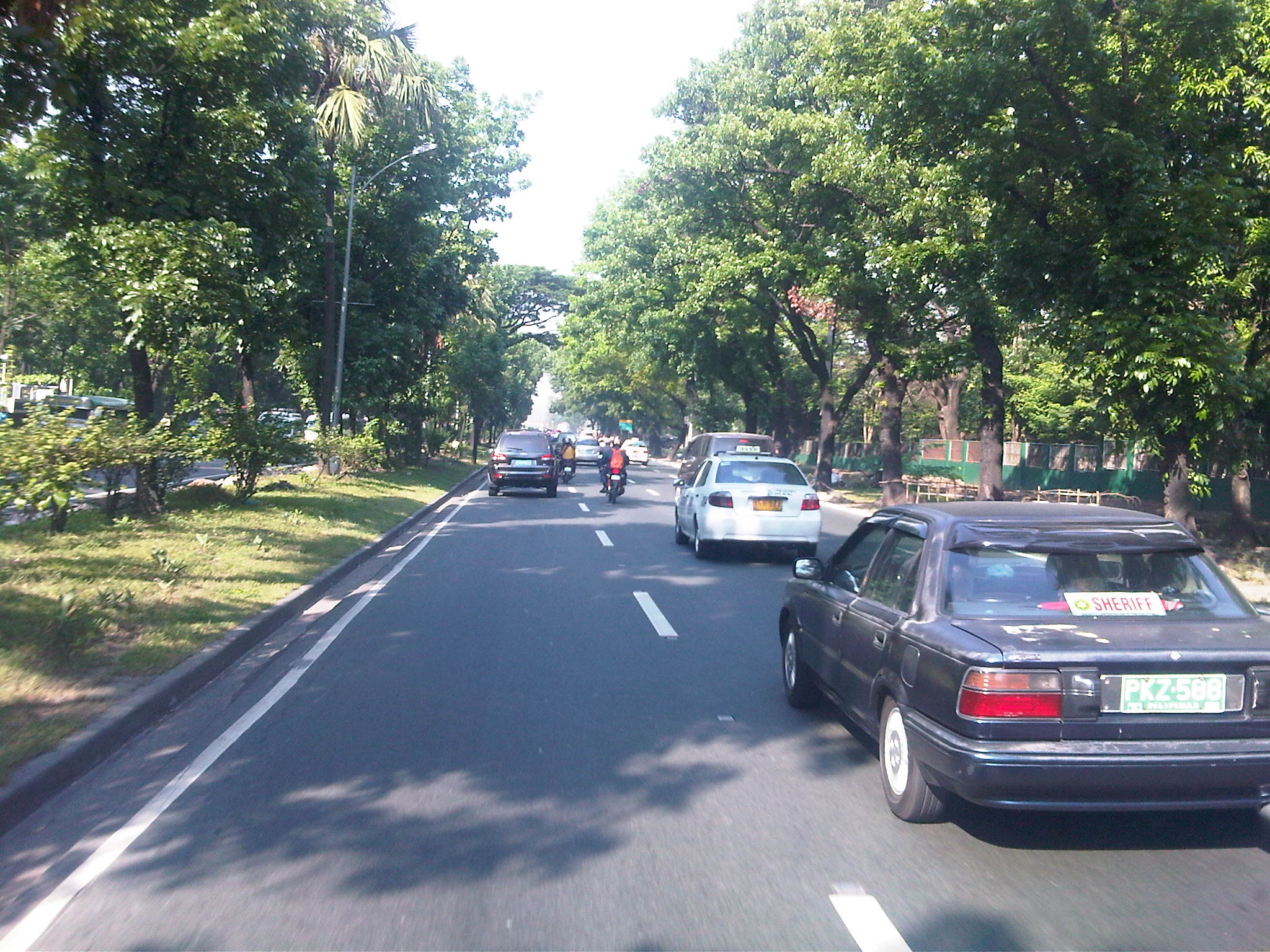 This section of Quezon Ave. has 4 lanes per direction and these are divided by a wide median island. Pavement is of excellent condition with clear markings to guide motorists.
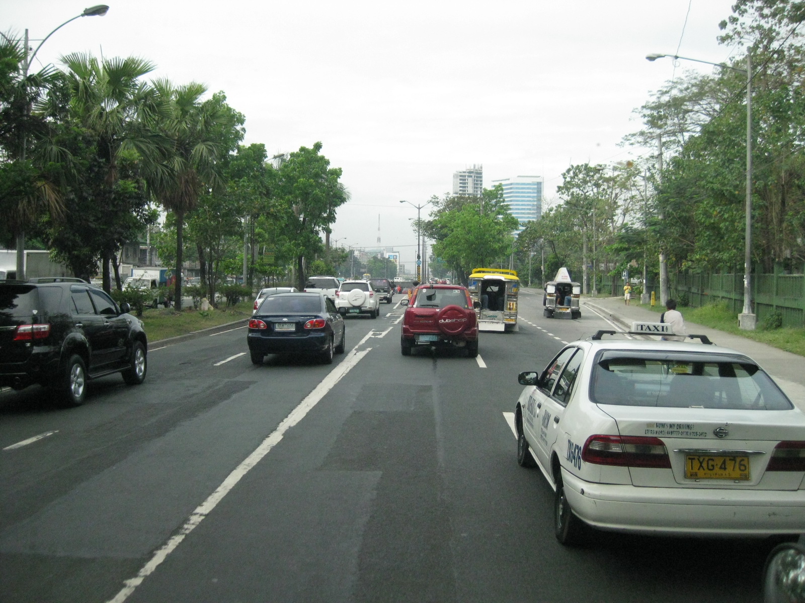 Approach to the underpass (left lanes) and Agham Road (right lanes)
 The section approaching Agham was widened by taking land from the Children’s Hospital (right). The trees on the island that defines the service road generally used by vehicles turning right to Agham is visible downstream in the photo. Chevron markings and the orange poles delineate the path to the underpass.
 The view from the other side of the road showing the service road island (with the trees) and the delineators for the underpass
 Vehicles approaching Agham Road – the vehicles on the left side are already along the underpass. The 2-lane service road is on the right
 Agham Road approach along Quezon Ave. – the junction is signalized and has a total of 5 lanes along the approach
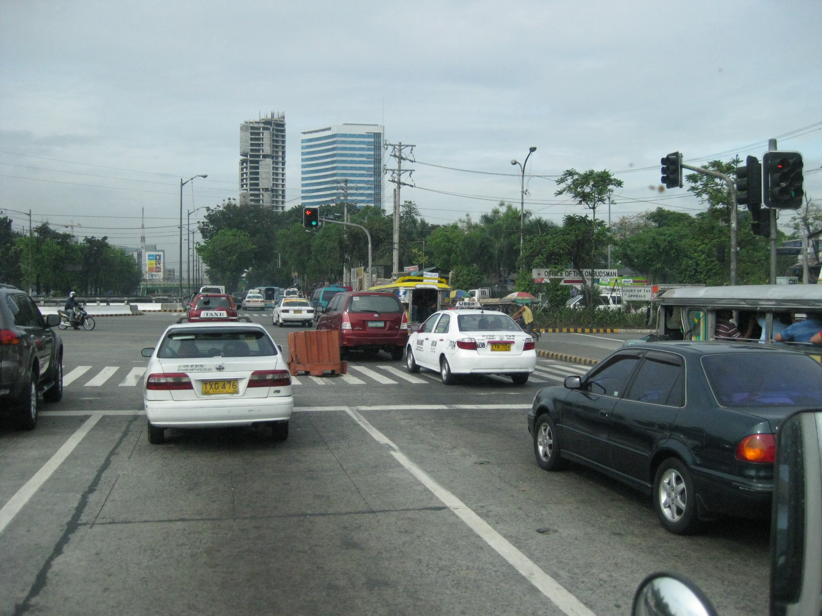 Plastic barrier at the approach – such should be removed/cleared from the highway and especially at the intersection as they are hazards to road users
 Past the junction with Agham Road, the highway is again divided by the island lined with trees forming two 2-lane channels. Public transport is supposed to take the right-most lanes.
 Approach to EDSA where all vehicles must turn right. Vehicle proceeding along Quezon Ave. must take the U-turn slot under the EDSA overpass just a few meters after turning right at the junction. Obscuring the view of the vehicular overpass along EDSA is the pedestrian footbridge just ahead. Note the barriers to prevent jaywalking in the area.
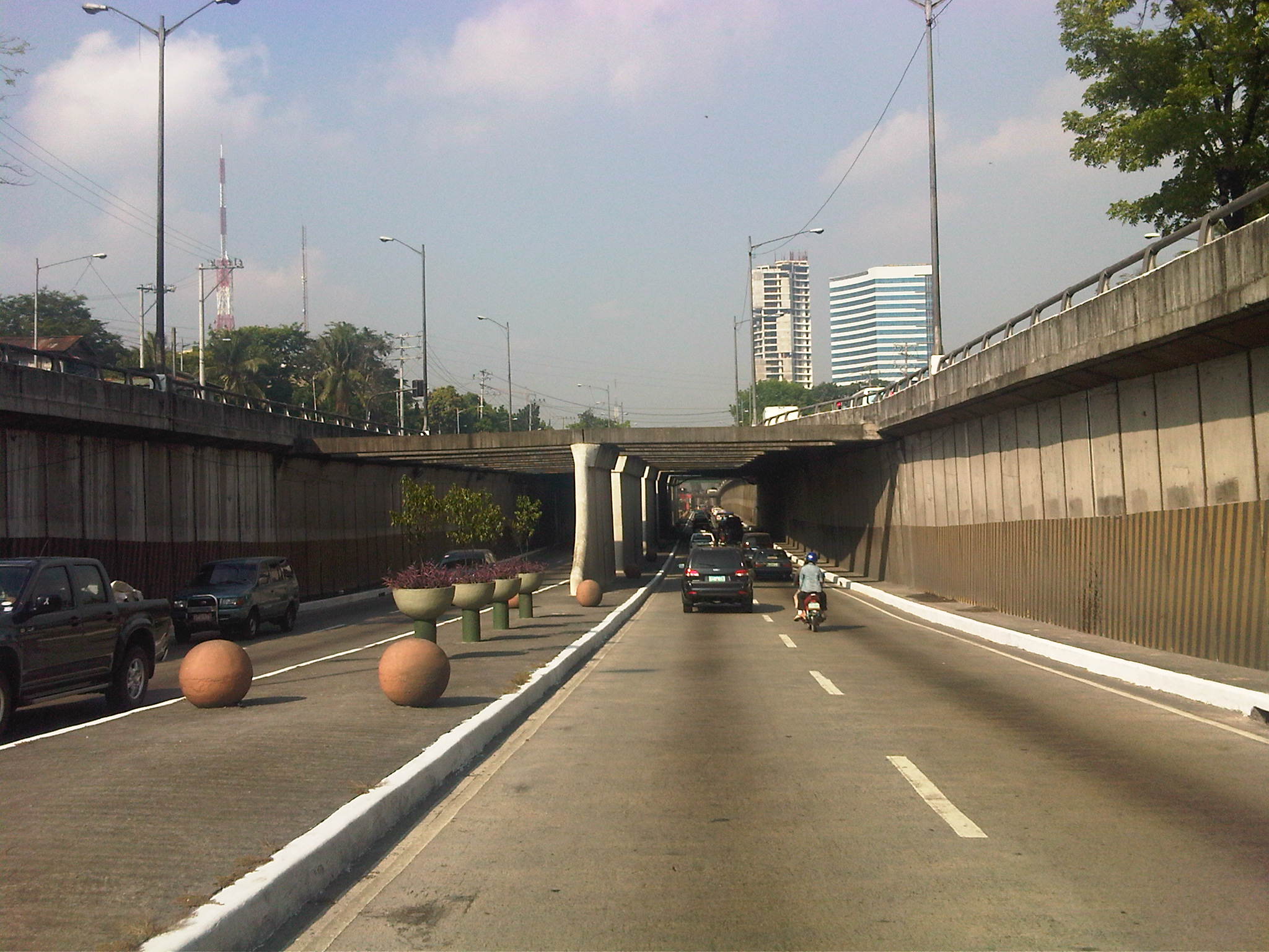 Underpass section along Quezon Ave. approaching the junction with Agham Road
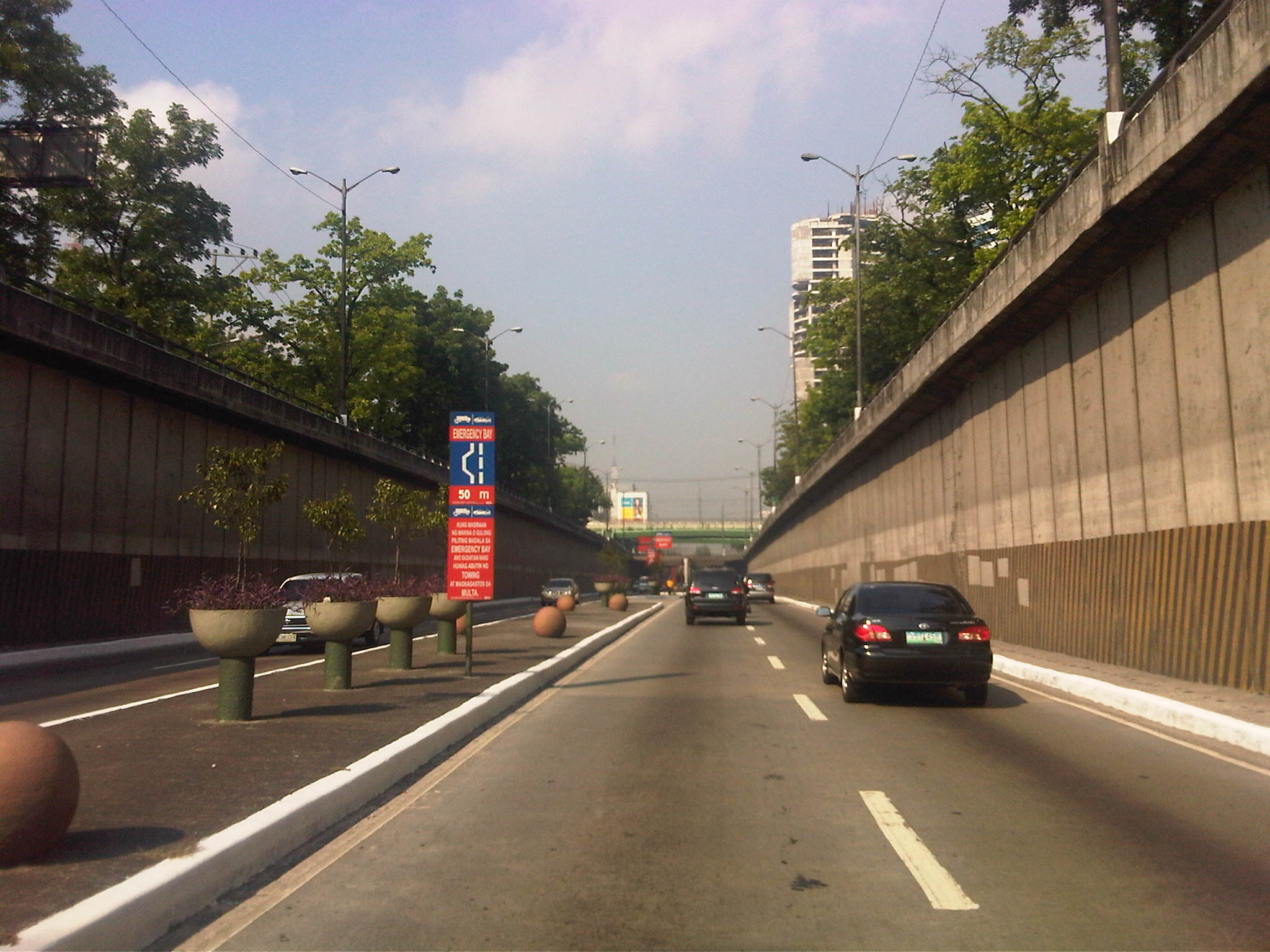 Underpass section between Agham Road and EDSA
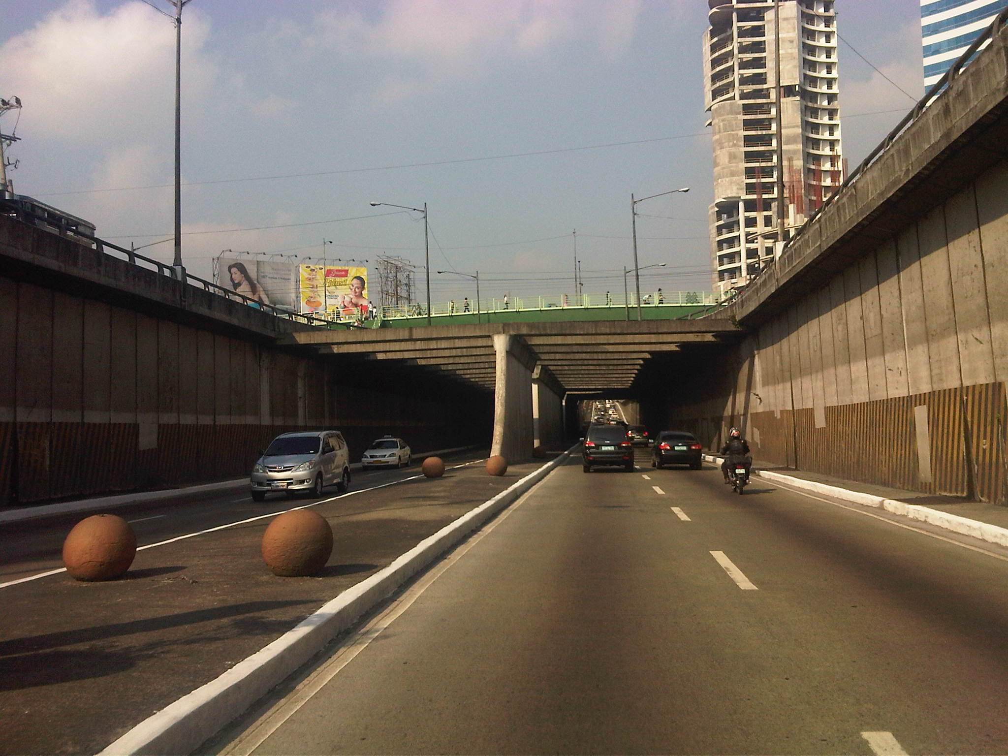 Underpass section approaching the junction with EDSA – at the junction, there is essentially 3 levels of roads: the underpass along Quezon Ave., the junction itself, and the overpass along EDSA
–
North EDSA
Heading to Tutuban for our technical visit of the Philippine National Railways, we passed along the north segment of EDSA from its junction with North Avenue in Quezon City to 8th Street in Caloocan City. Following are photos showing the overhead LRT 1, the motorcycle lane, U-turn slots and various buildings adjacent to EDSA.
 EDSA – North Avenue junction – the blue lane markings designate the motorcycle lane along EDSA. SMDI’s Grass Residences can be seen behind the mall.
 Section in front of SM North EDSA – the bus stop beneath the SM Sky Garden is on the right of the photo
 Section after SM North – the green building is Quezon City Academy
 Section in the vicinity of Roosevelt Ave./Congressional Ave.
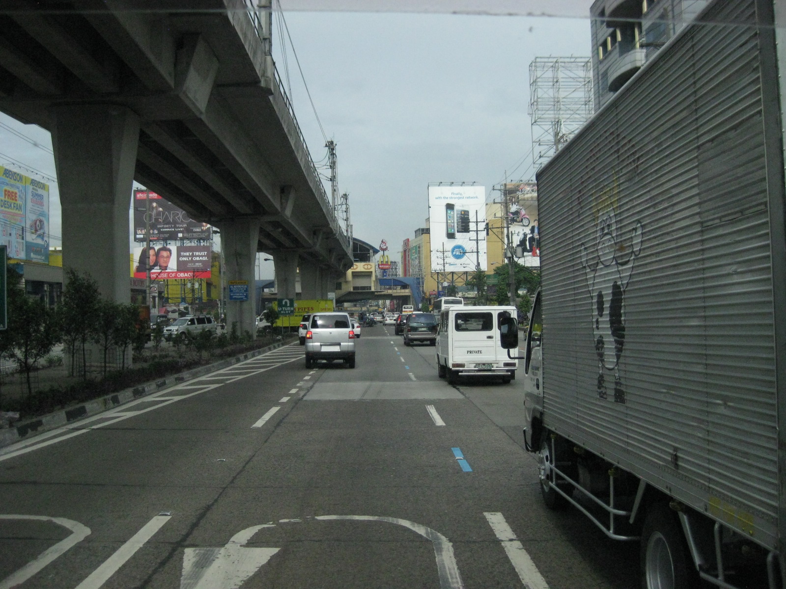 Section between Corregidor St. and Roosevelt Ave./Congressional Ave.
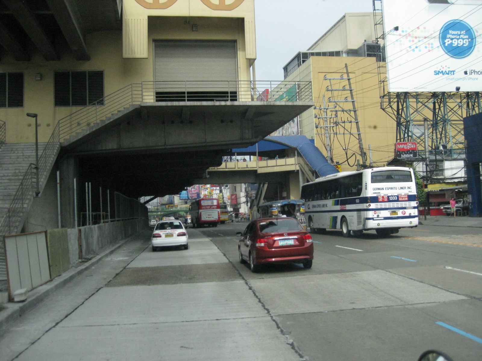 LRT 1 Extension Roosevelt Station
 Section after Roosevelt Ave./Congressional Ave. before Fema Road
 Section approaching Home Depot and Kaingin Road junction
 Section across from Shell Station right after Wilcon Builders Depot
 Section across from Hyundai dealer right after Shell station
 Section approaching Balintawak LRT Station
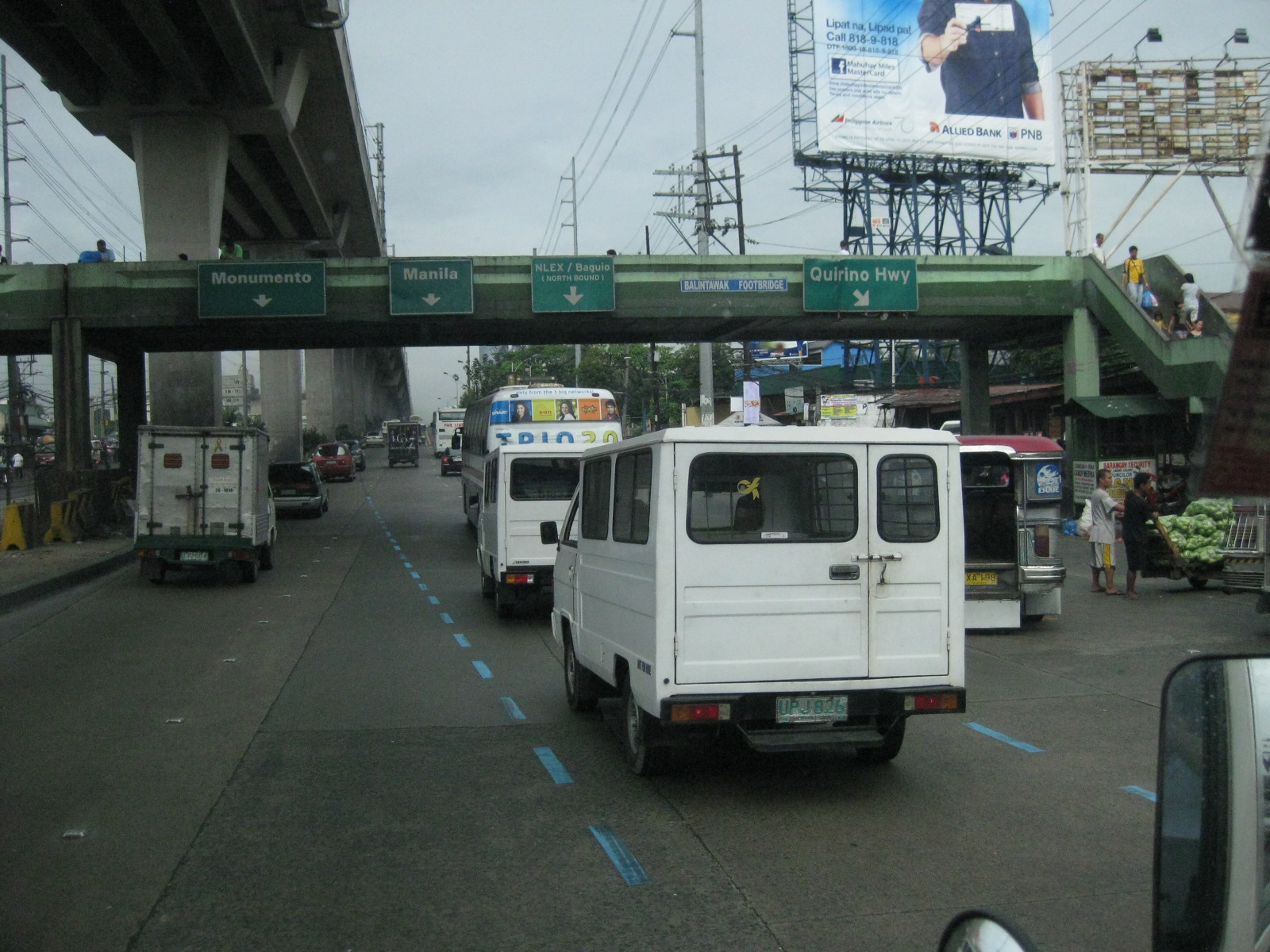 Section along Munoz Market (note the cart full of vegetables on the right in the photo)
 Exit ramp to NLEX at the Balintawak interchange (cloverleaf)
 Section of EDSA on top of NLEX (Balintawak interchange)
 Section right right after the interchange – vehicles on the rightmost lane are those coming from NLEX southbound and coming on to EDSA northbound
 Section after Toyota Balintawak and Gen. Evangelista, and approaching Gen. Mascardo
 Section approaching 8th Street U-turn slot after Mariano Ponce
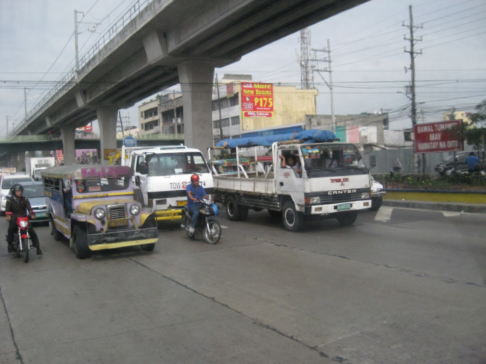 Vehicles stopped at intersection/U-turn slot to allow vehicles turning left from EDSA northbound to 8th Street
–
Mission accomplished: Marcos Highway
The roadworks along Marcos Highway in Pasig, Marikina, Cainta and Antipolo was mostly completed last March 31, 2012. I say almost because despite the rush to finish a lot of things including the asphalt overlays before the project deadline, there are quite a few unfinished parts of the highway including installations of street lamps, sidewalks and barriers. There are also sections where there are no pavement markings, particularly at junctions. Nevertheless, the most important thing is that the highway is much less congested nowadays, though the capacity will surely be tested once school starts in June. Also up for an acid test will be the drainage system constructed along the highway from Masinag to the Marikina River that is supposed to address flooding in the general area.
 Section across from Robinsons Metro East
 Section at Dela Paz – note that there are no pavement markings
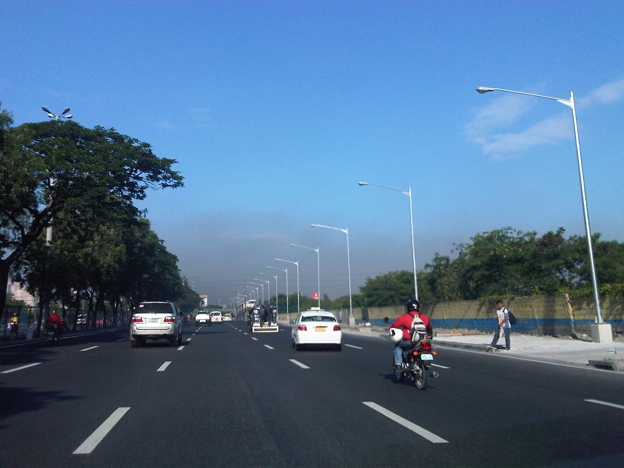 Section between Dela Paz and Ligaya
 Section approaching Ligaya
 Section approaching LRT Line 2 Santolan Station
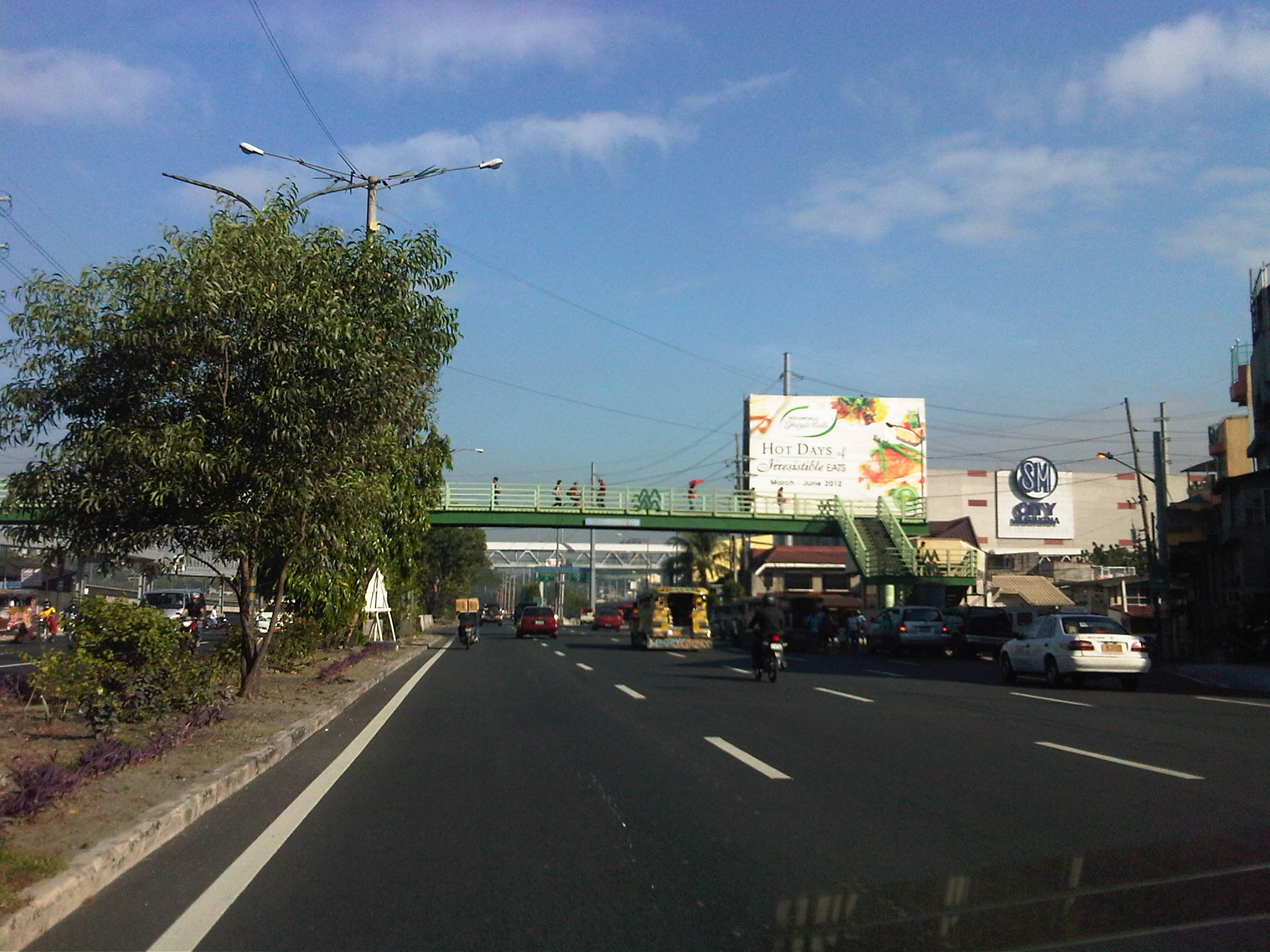 Section approaching the bridge and SM Marikina
One thing people, especially the DPWH, should note about the asphalt overlays is that it tends to hide the concrete slabs underneath that were not at all “re-blocked” or rehabilitated as the contractor rushed its work. These shortcomings will probably manifest with continued passes of heavy vehicles including what appear to be overloaded trucks at night. Perhaps flaws in the construction will also come into view once the wet season sets in when weaknesses in pavements would usually come out as a result of exposure to the elements. Nevertheless, a lot of people are thankful for the completion of major works on the highway and I am particularly happy that pedestrian walkways were part of the project. Perhaps traffic managers should look into public transport operations (e.g., yellow lanes) now that Marcos Highway has been widened. Perhaps, too, motorcycle lanes can be considered similar to the treatment along Commonwealth.
–
Sumulong Highway
Sumulong Highway stretches from Marikina City (junction with J.P. Rizal Ave. and continuing from A. Bonifacio Ave.) to Antipolo City (junction with the Circumferential Road). It is one of the main access roads to the Shrine of Our Lady of Peace and Good Voyage, which is perhaps the most visited shrine in the country. I don’t usually dare to take photos along this road when I’m by myself as I have to concentrate on my driving and be aware of other vehicles, cyclists and pedestrians I encounter along the highway. At some sections, people and tricycles seem to come from all over the place and may pose problems to new drivers using manual transmission vehicles, who might have difficulties working the clutch as they drive up to Antipolo. Downhill, it also quite dangerous and one wonders how many drivers of cars, jeepneys and trucks get away with their aggressive behavior along the highway, often putting other motorists, cyclists and pedestrians at high risk of getting involved in crashes.
Following are a few photos I managed to take en route to a seminar in Antipolo. I would caution anyone not familiar with the highway to not attempt taking photos when there are many vehicles or people on the road.
 Weathered – section right after Masinag Junction where vehicles on the left are bound for Masinag. The section has 4 lanes with faded or no markings, no shoulders and no pedestrian facilities. There are significant on-street parking including those in front of auto repair shops.
 Encroachment – houses and other establishments have encroached on the RROW, making it practically impossible if not too costly to appropriate space for pedestrian facilities. Local transport like tricycles and pedicabs regularly use or cross the highway, often being the cause of congestion along Sumulong.
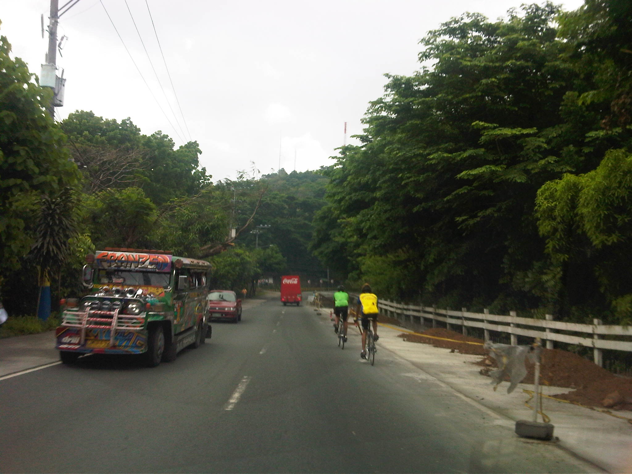 Road works – concreting of shoulders along the stretch near Town & Country Estates. You will encounter many cyclists using this route. During some Sundays, the Antipolo Feast Day and the Holy Week many people may be found walking along the road, many on pilgrimage to the Shrine. Perhaps cyclists and people are now using the concrete shoulders, reducing but not eliminating the likelihood of being sideswiped by motor vehicles.
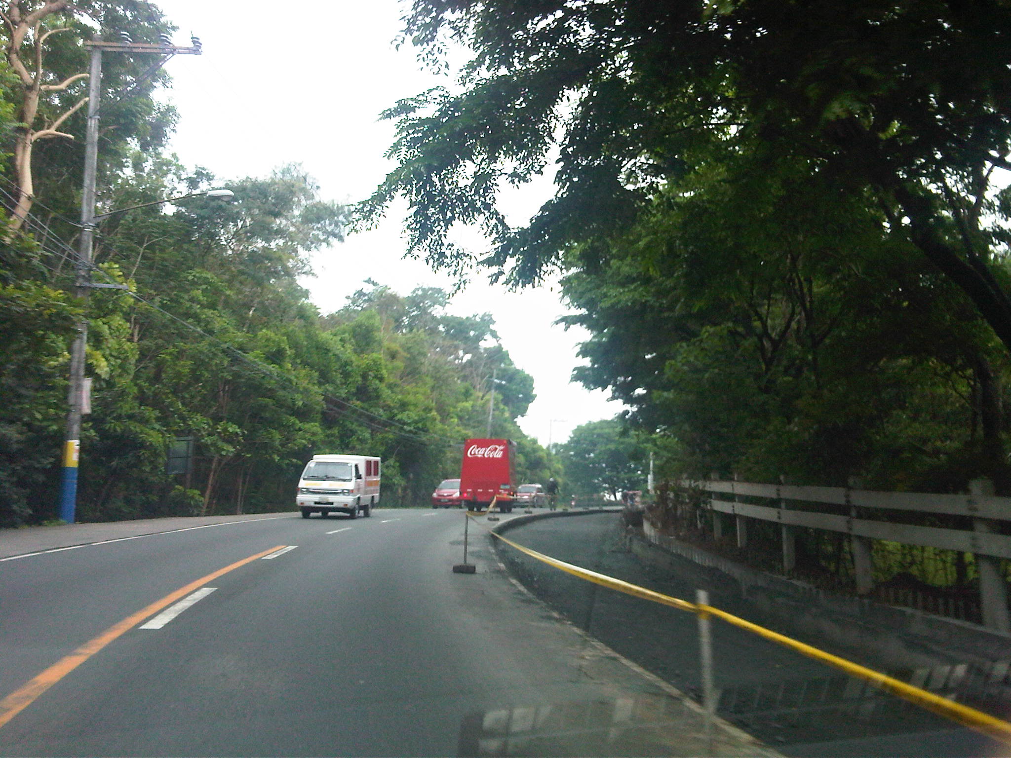 Curvature – shoulder works along Sumulong Highway should be complete by now and offering space for cyclists and pedestrians. Of course, these could also be used by slow moving vehicles or those pulling aside to stop (for whatever reason) to allow other vehicles to pass.
I hope Sumulong Highway would have provisions for walking safely to and from the Shrine. A lot of people flock to the church not only during its Feast Day, Sundays and the Holy Week. Many people would also be interested in hiking along this way if they only had a safe way from Masinag to the Shrine. The space is limited and there are many conflicts along the way but I also remember that the same corridor was considered for the LRT Line 2 extension to Antipolo Cathedral. Surely the RROW would allow for pedestrian facilities on one side of the road if some due diligence is performed to determine the extent of encroachments along Sumulong.
–

