
Home » Public Transport (Page 54)
Category Archives: Public Transport
YCAT – Yokohama City Air Terminal
The Yokohama City Air Terminal (YCAT) is one of two city air terminals in the Kanto area, the other being the Tokyo City Air Terminal (TCAT). I have used both in the past including my first trip to Japan where I was instructed to proceed to TCAT where I met with a good friend of mine who took me to the university I was visiting. The second time I went to Japan, I proceeded to YCAT where eventual friends also fetched me to go to the university where I was to study for 3 years. On this sentimental journey of sorts, I made sure to take a few photos at the YCAT, which I chose over my usual Yokosuka-Sobu Airport Narita train between Yokohama and the airport.
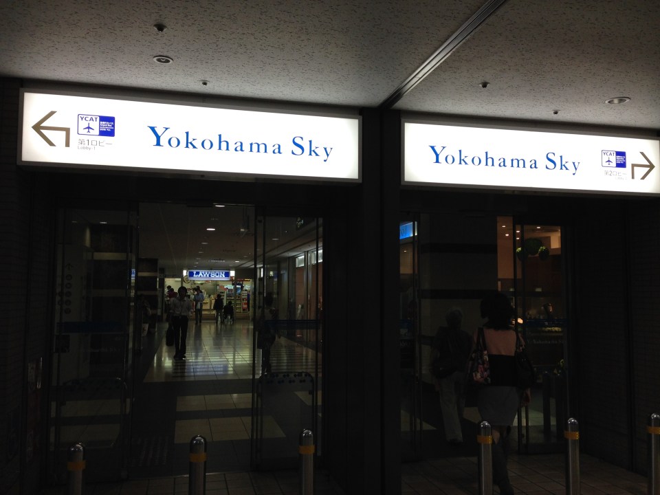 The YCAT is located at the Sky Building, which used to be the tallest building in Yokohama. The building is connected to Yokohama Station (East Exit). Proceeding left takes one to the departure lounge where people can purchase limousine bus tickets. To the right is the arrival lounge where people can wait for passengers arriving from either Haneda or Narita via limousine bus.
 Main entrance to the YCAT right next to a popular coffee shop. Here, one can purchase tickets for Haneda Airport or Narita Airport, exchange currencies and even make some last minute souvenir shopping.
 There are also many vending machines for those who just want a quick hot or cold drink.
 Airport limousine bus tickets can be purchased at these counters. The electronic boards provide information about bus schedules between YCAT and Haneda or Narita Airport. There is also a Travelex counter for currency exchange and a Western Union counter for sending or receiving money transfers.
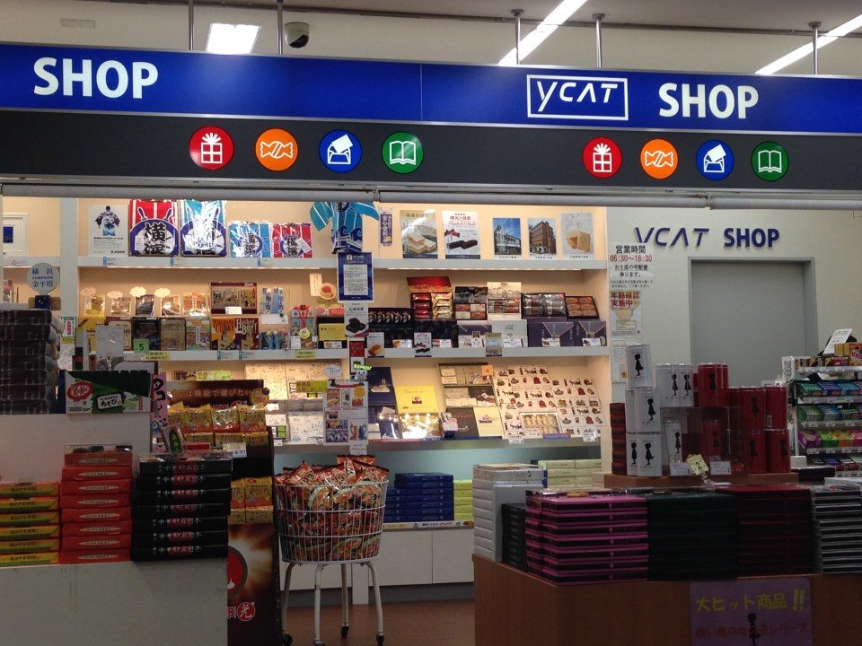 One can make some last minute shopping at the YCAT shop.
 Coin lockers for travelers who might just want to keep their luggage secure while spending a little more time in the area for a meal or some shopping. Note that YCAT is located at the Sky Building, which is connected to shopping malls and Yokohama Station.
 Airport flight information for departures and arrivals.
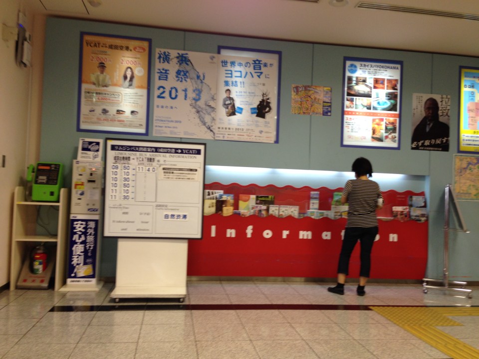 Other information on travel and events at the YCAT include brochures and posters.
 Airport Limousine Bus bound for Narita Airport arriving at the YCAT – luggage are tagged so limousine bus staff at the airport terminals can identify which bags are to be unloaded at which terminals.
 Stop 1 is for Narita-bound buses while Stop 2 is for Haneda-bound buses.
–
Mini-bus
Walking to our meeting venue, I saw this small bus stopped at an intersection. I remembered a similar bus that we rode between the JR Shibuya Station and the Philippine Embassy in Nanpeidai (in the Shibuya District) in the late 1990s. The mini-bus is a form of paratransit that’s right there with the jitneys and van services that provide mainly short distance public transport services in, among others, city centers and residential areas.

The fare is fixed at 100 JPY and you can use your Suica or Pasmo card to pay your fare. Something like this could be suitable for CBDs in the Philippines including the Makati CBD, Ortigas CBD and maybe the future Quezon City CBD that is being developed in the north triangle area of that city. Other city centers where this mini-bus can be used are those in Cebu, Davao, Iloilo and Bacolod. Perhaps most desirable are low emission versions of this vehicle including, if available, electric buses. At present, Makati has electric jeepneys plying 3 routes along city roads in the Makati CBD. These will complement regular bus or rail services and should replace jeepneys along specific routes.
–
Proposal for a Special Mass Transit Support Fund
There are three bills currently being discussed at the Senate that were filed by Sen. Ralph Recto. These propose the restructuring of the special funds derived from the Motor Vehicle Users’ Charge (MVUC) in order to allocate funds for mass transportation.
Senate Bill 446 – An Act Creating The Special Mass Transit System Support Fund, Reallocating The Disposition of Monies Collected From The Motor Vehicle User’s Charge, Amending For The Purpose Sections 7 And 8 Of Republic Act No. 8794, Otherwise Known As The Motor Vehicle User’s Charge Act of 2000.
Senate Bill 611 – An Act Creating The Special Mass Transit System Support Fund To Provide Additional And Long-Term Funding To Priority Mass Transit Projects In The Greater Metro Manila Area, Amending For The Purpose Sections 7 And 8 Of Republic Act No. 8794, Otherwise Known As The Motor Vehicle User’s Charge Act of 2000.
Senate Bill 621 – An Act Creating The Special Mass Transit System Support Fund Amending For The Purpose Sections 7 And 8 Of Republic Act No. 8794, Otherwise Known As The Motor Vehicle User’s Charge Act of 2000.
The National Center for Transportation Studies (NCTS) was requested to submit a position paper on these bills by the Senate Committee on Public Works that is chaired by Sen. Ferdinand “Bongbong” R. Marcos, Jr. The Center drafted one and submitted the 4-page document to the Committee secretariat last October 16, 2013. A copy of the position paper may be downloaded from the following link:
NCTS PositionPaper MVUC 16Oct2013
The Senate Committee on Public Works held a public hearing last October 17, 2013 at the Lorenzo Tanada Room at the Senate. The NCTS Director, Dr. Hilario Sean O. Palmiano, was invited as a resource person for the hearing and joined representatives of agencies such as the DPWH, DBM, DOF, LTO and the Road Board in providing insights and comments on the proposed bills. The same agencies were also requested to provide pertinent data for the committee to evaluate the proposed changes to R.A. 8794. Such data include information on past disbursements and approved projects that used the special funds under the MVUC.
–
Pedicab regulations
With the proliferation of non-motorized transport (NMT) as public transport, there are questions raised pertaining to their regulation or management. Perhaps most pedicab, padyak, sikad or trisikad services around the country a regulated in some way. I use the term “some way” since there will always be either or both formal and informal rules for these services to be provided and patronized by people. These rules or regulations include the setting of pedicab fares that are most likely based on travel distance though not necessarily similar in structure to those of buses and jeepneys. Pedicab fares are practically similar to those for tricycles in that they operate within areas or zones. The rough locations of an origin and destination (i.e., rough distance between origins and destinations or distances between zones) would be the basis for fares.
Private exclusive residential subdivisions or villages would have their own homeowners’ or residents’ associations. These will likely have a say in tricycle or pedicab regulations. Otherwise, many would probably have the power to restrict or prevent tricycles from entering and operating within the subdivision or village. Most if not all tricycles are organized as Tricycle Operators and Drivers Associations (TODA) and so might have some say or bargaining power when dealing with barangays or associations where many operators or drivers may be residing. In the case of pedicabs, there are also pedicab associations with similar compositions where operators or owners of cabs are residents of an area or village. In well-organized subdivisions, however, the associations hold sway over pedicab operators and drivers and enforce rules through contracted, private security staff.
Pedicab rules are not very complicated. In fact, the rules can be provided or posted for every cab such as the example shown in the following photo. I took this as I was riding a pedicab to get home one afternoon.
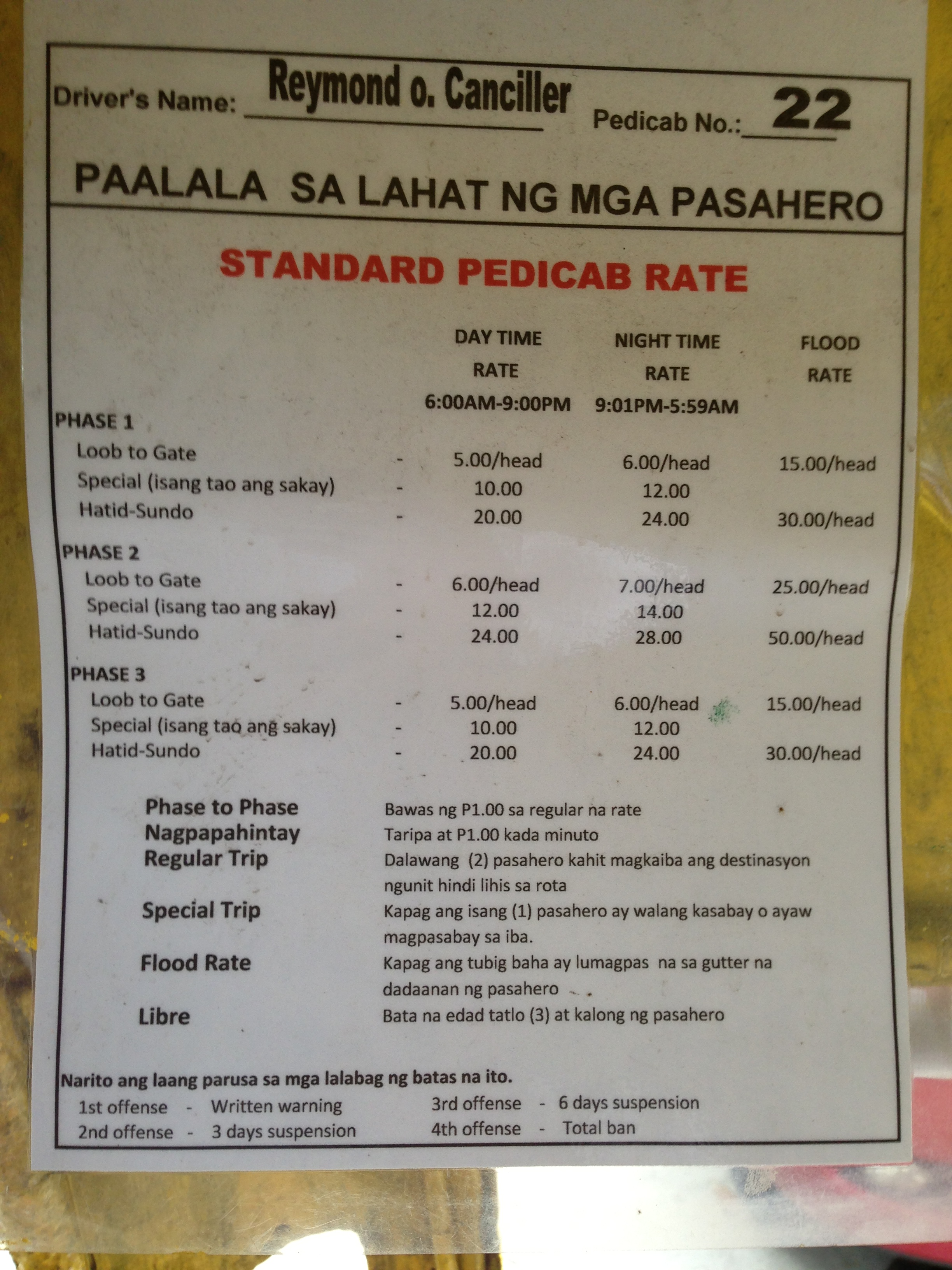
In the laminated reminder (paalala) to passengers, the fares as set with respect to the phases of the subdivision, which serve as zones of operation for pedicabs. There is a daytime rate, a nighttime rate and even rates for when there’s flooding along the streets! Penalties for pedicab drivers violating the rules are stated at the bottom of the announcement with four offenses resulting in a total ban of the driver. I assume the ban is also enforced by security and is aided by the fact that all drivers are issued IDs by the village homeowners association. In our neighborhood, the number of pedicabs operating at late nighttime to the early hours of the morning are regulated and there is a list of drivers providing services during these times of the day. This was a measure passed years ago in part to address the lack of public transport during the nighttime but more so to combat burglaries that involved pedicab drivers who might have become familiar with the routines of residents.
These rules can easily be replicated and implemented elsewhere as long as residents are able to organize themselves. Perhaps in other cases they would also need to coordinate with barangay officials in residential areas where there is no exclusivity like that of a gated subdivision. That way, the rights and interests of passengers are well represented and can be articulated more effectively with respect to tricycle and pedicab associations who might just be exercising too much of their prerogative on passengers. After all, the interest and rights of passengers including their safety should be the priority here as in all other public transport because these are services being provided, and not just any business where revenue seems to be the only end.
–
Pedicab fares
Tricycle and pedicab fares are set quite variably depending on the service areas and those regulating the services. In many cases, it is the pedicab association comprised of drivers-operators who set the fares, which are then supposed to be approved by local officials like those in the barangay or municipal/city hall. I say “supposed” here since most rates are not formally regulated in the manner like how the Land Transportation Franchising and Regulatory Board (LTFRB) sets fares for buses, jeepneys and taxis. While the principles of “willingness to pay” is applied to some extent, pedicab and tricycle fares are usually imposed (to use a strong word) by tricycle and pedicab associations with very rough estimates of operating costs or, in the case of NMTs, the equivalent of physical effort, required to convey people.
In residential subdivisions or villages, associations may have a say in the fare rates. Where I live, the association sets the standard rates and these go to the extent of differentiating between day time and night time rates. There is even a rate for when streets are flooded! There is also a definition for regular and special trips and rates are according to the general distance traveled by pedicab. That is, fares to Phase 2 are generally higher than those for Phases 1 and 3 because Phase 2 streets are generally farther from the reference origin/destination, which is the village gate. Given the effort of pedicab drivers to transport passengers, I think the rates are just right. The only part there that seems unusual is the rate of PhP 1/minute for waiting time, which to me seems to high. Nevertheless, there is nothing to stop passengers from showing their appreciation for hard work in the form of tips. And there is no limit to the generosity of some passengers who choose to pay more to the (pedi)cabbie.
 Tariff sheet displayed inside the sidecar of every pedicab of our village. The information is useful especially to guests or visitors who are not familiar with pedicab rates in the area.
–
Getting reacquainted with the JR lines in Tokyo
My recent trip to Tokyo allowed me to re-charge the wife’s and my Suica cards. We got these when we were in Japan in 2008 and rode mainly Japan Railways (JR) trains between our hotels and various destinations in Tokyo, Yokohama and Kamakura. I also used the JR Keihin Tohoku Line for trips between Saitama and Yokohama during the weekends when I would hear Mass at Yamate and then go around Minato Mirai, Shibuya, Ueno or Akihabara. It was easy for me to get reacquainted with commuting with the JR trains. It’s probably because it was so easy commuting in Japan and nothing much has changed in terms of the transport system. This is proof of an efficient public transport system and one which I have also used in Singapore and Hong Kong. Hopefully, we can have at least a bit of this efficiency in public transport and commuting in Metro Manila.
 JR East railway map for Tokyo Metropolitan area and environs (available for download in the internet)
 I found an improved/renovated JR Akihabara Station when I was in Tokyo in July.
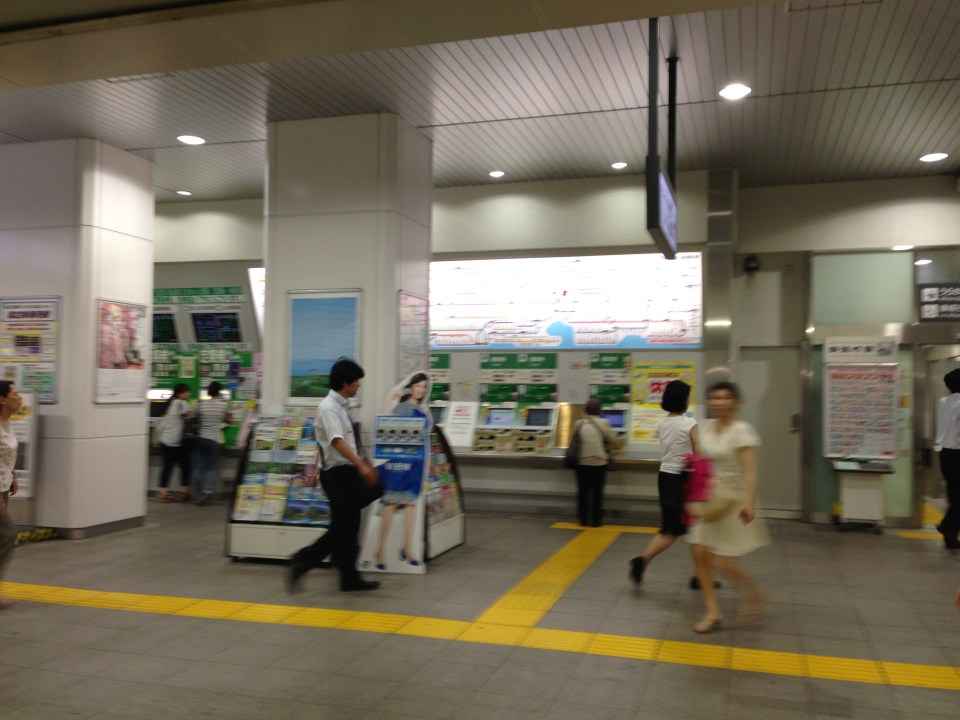 Ticket machines at the JR Okachimachi Station are bilingual. One just has to press the button for English translation/option.
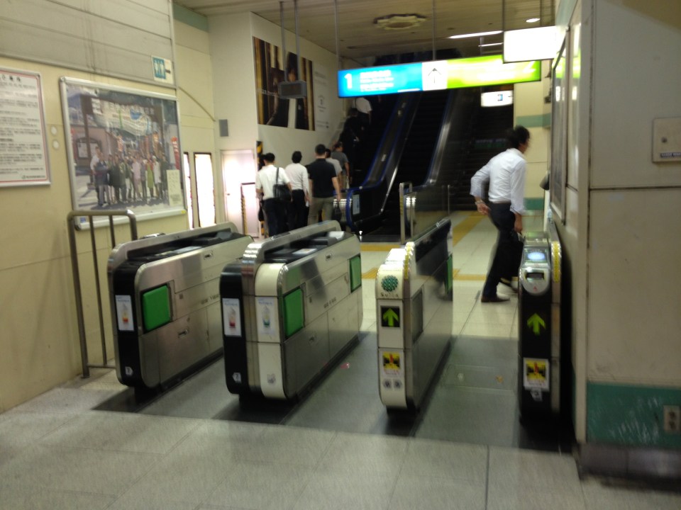 Turnstiles at a JR station
 Coin lockers at a JR station allows travelers/commuters to leave their things while going around for business, shopping or other purposes. A traveler heading to the airport, for example, who wants to do some last minute shopping may want to leave luggage using the larger lockers so he/she won’t have difficulty moving about.
 There are small restaurants and shops around JR stations. This one is a ramen shop frequented by commuters with a ticket dispensing machine to expedite orders. One purchases tickets for meals and drinks using the machine and presents the tickets to the staff inside the restaurant.
I hope to be able to go around my old haunts in Yokohama the next time I’m in Japan. Perhaps I can take a few photos then about transport in a country where I spent some significant time over the past years.
–
Tricycles in the Philippines – Part 1
We start the “ber” months strong with an initial feature on an ubiquitous mode of transport in the Philippines. While the jeepney seems to have had most of the attention when the subject of public transport in the Philippines is discussed, the truth is that there is arguably another, more dominant mode of public transport in the country. These are the tricycles, a motorized three-wheeler consisting of a motorcycle and a sidecar. You see these everywhere around the country in most cities and municipalities where they thrive particularly in residential areas. They are usually the only mode of public transport for most people in rural areas where local roads are typically narrow. In many cases the only roads connecting communities may be national roads. And so, there is really no other choice for tricycles but to travel along national roads and against existing laws prohibiting tricycles from these roads.
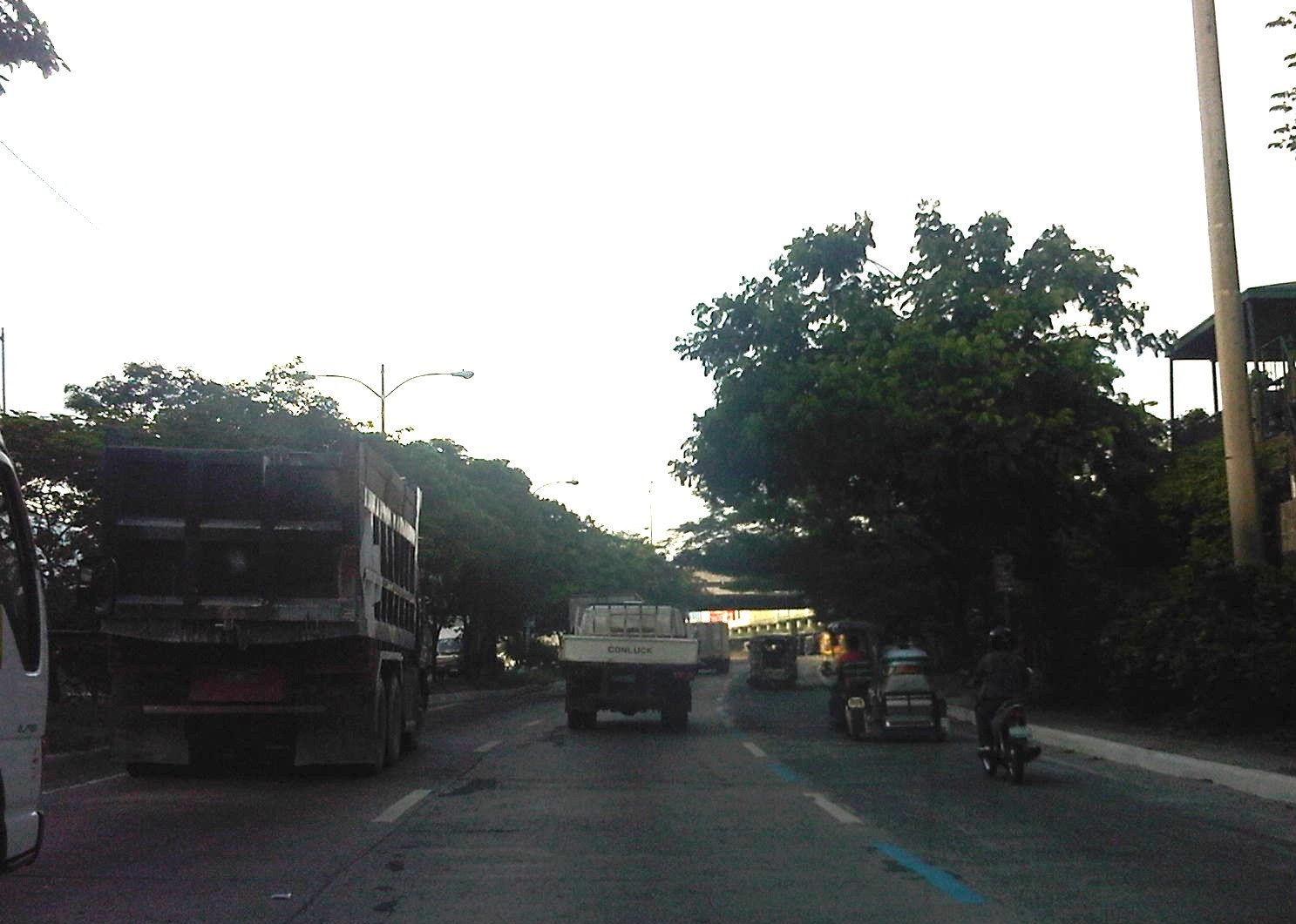 Tricycle along the motorcycle lane of Circumferential Road 5
 Tricycles racing along the Olongapo-Castillejos Road in Zambales
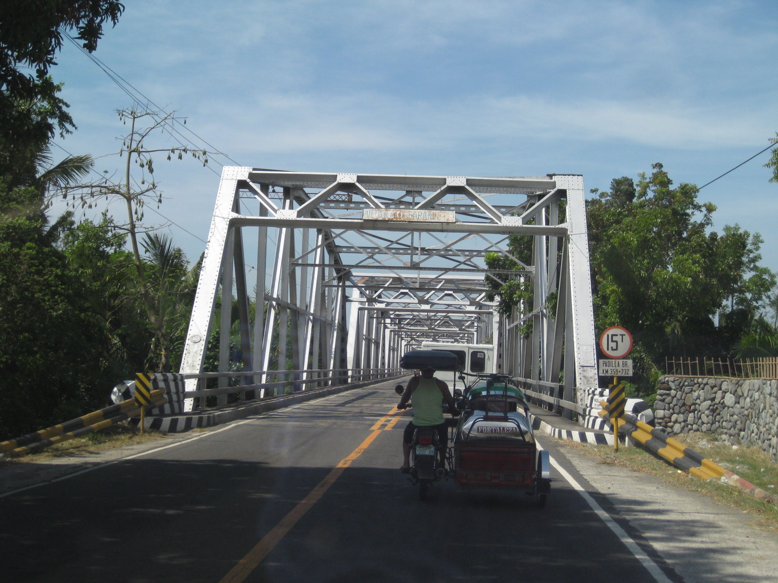 Tricycle along Romulo Highway, Tarlac
 Tricycles along Catolico Avenue in Gen. Santos City
Unlike buses and jeepneys, tricycles are not regulated under the Land Transportation Franchising and Regulatory Board (LTFRB). Instead, they are under the local government units that through one office or another issue the equivalent of franchises for tricycles to operate legally. Fares are quite variable but are usually according to distance though there are special rates for when passengers want to have the vehicle for themselves much like a taxi.
Unfortunately, few LGUs have the capacity to determine the optimum number of tricycles for service areas under their jurisdictions. As tricycle operations are often the source of livelihood for many, the granting of franchises is often seen as a way for mayors to have influence over people who would have “utang na loob” (debt of gratitude) for being granted franchises. The tendency, therefore, is to have too many tricycles as mayors try to accommodate more applicants who seem to have no other options to earn income or to invest in. This poses a challenge to many who want to reform the system and modernize or upgrade public transport in cities around the country.
–
Commuting on the EDSA MRT 3
There’s a lot of buzz these days about the challenge posed to government officials responsible for our transport and traffic in Metro Manila and the rest of the country. I must admit I regularly drive between home and my workplace but I often commute to meetings and will usually leave my car at the office when I don’t feel like driving. While its often perceived as difficult to take public transport, it is really quite easy as long as you plan your trip. That is, familiarize in advance with what jeepneys, buses, UV express or rail lines your going to take. I’m sure there are so many tools available to those with smart phones or internet access but then nothing beats asking for directions from those familiar with the commute. Following are photos I took en route to a meeting at Bonifacio Global City (BGC) from UP Diliman. I took a jeepney from UP until the EDSA MRT Quezon Avenue Station where I took a train to Ayala Station. From Ayala Station, I walked towards the Fort Bus Terminal at the corner of EDSA and McKinley where I purchased a ticket at the Fort Bus booth beside the Shell gas station.
 Passengers queuing at the platform at Quezon Avenue Station – there is some semblance of discipline but not like what we saw in Japan, Singapore or Bangkok where people do step aside for alighting passengers before entering the train.
 A crowded platform vs. a congested EDSA – commuting is often perceived as a hassle for many in Metro Manila partly because of crowded public transport and the inefficiencies including poor transfers and low quality of service. Many who could afford to own cars or motorcycles take private vehicles instead.
 Passengers on a crowded platform form lines directly in front of the train doors instead of allowing for space for disembarking passengers. While there are markings on the platform to guide passengers where to position with respect to the door, these are not followed and there are no MRT staff to guide people to do so.
 Passengers lined up for an arriving train can be too close to the train, risking accidents where a simple nudge from behind could get a passenger killed by an oncoming train.
 The photo clearly shows the narrow platform of the EDSA MRT station and the markings to guide people where to position with respect to the train doors. This contributes to the congestion on the platform and perhaps is a reason why people can’t line up properly. I’ve observed many people getting stressed out simply because of the undisciplined mix-up during the unloading/loading process whenever a train arrives at the platform. Note also from the photo the sign on top of the guard post informing people of the segregation being implemented in favor of women, children, PWDs and senior citizens. The latter have some cars reserved for them so they won’t have to wrestle it out with other passengers to get in a train.
 A Taft-bound train arrives at the Quezon Ave. Station. On a way to increase the MRT-3’s capacity is to have shorter headways between trains. However, this can’t be done without additional trains.
 A train is not full as it leaves Quezon Ave. but more passengers board at subsequent stations at GMA Kamuning and Cubao. The train cars are eventually crowded and I stopped taking photos in case someone fancies my phone or gets offended by my taking photos inside the train.
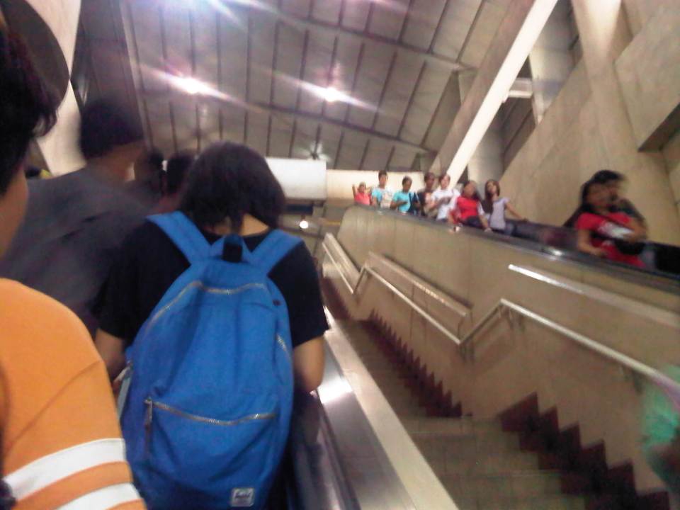 Escalators at the Ayala Station where the platform is practically underground.
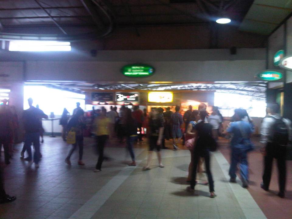 Small shops and stalls at the Ayala Station. There is a direct access to SM Makati, which a lot of people take to also have a more comfortable walk through the malls nearby.
 Ayala Station is one of the larger and more developed stations along EDSA-MRT and among the busiest given its location.
 Among the shops and stores at the station is a local courier service and a license renewal center of the Land Transportation Office (LTO). These cater to people on the go and quite convenient to commuters.
 Direction signs to guide passengers transferring to the Fort Bus of Bonifacio Global City (BGC).
 MRT stored value card – these along with the single journey cards may be pruchased at the stations. A stored value card is worth PhP 100 with the last journey assured regardless of the remaining balance in the card. As can be seen, the card has seen better days. However, the long-delayed common ticketing system for rail transit in Metro Manila should be implemented soon (crossing my fingers). Perhaps other ways can be explored like commuter passes for regulars including discounted ones for students and senior citizens. In Japan, for example, one can get such passes for 1 month, 3 months, 6 months or even a year, paid in advance for unlimited trips between one’s “home” station and “work” or “school” station.
I think our government owes it to the more than 80% of travelers who take public transport to improve our transport system. There’s a lot of room for improvement in terms of the quality of service including comfort, convenience and reliability that can be addressed only if we invest in public transport infra and introduce reforms that have long been recommended but not implemented (for many reasons). Let’s take it from Enrique Penalosa, who was mayor of Bogota and a leading proponent of the Bus Rapid Transit (BRT) was quoted as saying “a developed country is not a place where the poor have cars. It’s where the rich use public transport.”
–
Some thoughts on the issues on bus bans and terminals in Metro Manila
I had originally wanted to use “Clarifying issues on bus bans and terminals in Metro Manila” as the title for this post. However, I felt it was too strong a title, and one that would be more appropriate for a government agency like the MMDA or DOTC, or an LGU like Manila. More than fault-finding and criticizing government agencies and local governments, I believe we should take a closer and more objective look at the issues (or non issues?) pertaining to the Manila bus ban and the opening of the southwest provincial bus terminal for Cavite-bound buses. Following are my comments on issues raised the past weeks about the two initiatives.
Issue 1: There were no or few announcements about the implementation of the bus ban in Manila and the southwest terminal in Cavite.
Comments: While the bus ban in Manila came as a surprise to many, the move was actually a consequence of a Manila City Council resolution. Normally, such resolutions would take time to implement and would entail announcements for stakeholders. Though we will probably never know the truth or who is saying the truth about the resolution and its implementation, it is likely that bus operators already knew about the implications but decided to call Manila’s bluff and play the media and public appeal cards rather than comply with Manila’s requirements for franchised buses and terminals as they have done before in other issues like fuel prices and fare hikes.
I find it difficult to believe that the MMDA did not do its part in announcing the opening of the southwest terminal. Perhaps people thought the announcement was over a very short period? Or maybe people didn’t mind the announcement and are also at fault for paying no or little attention to the announcement? If so, then the public is also partly to blame for disregarding the announcement from the MMDA, assuming the agency won’t push through with its initiatives to implement central terminals for buses. Next up will be another southern terminal at Alabang and a northern one near Trinoma.
Issue 2: Poor transfer facilities and services including a lack of pedestrian facilities between the bus terminal and transfer point, and lack of public transport like jeepneys to ferry passengers to their destinations.
Comments: I think it’s quite clear that the MMDA and LGUs are at fault here. Despite the construction and scheduled opening of the southwest terminal, there have been limited effort in improving pedestrian facilities. Such facilities needed to be in place prior to or upon the opening of the southwest terminal and requiring all provincial buses to terminate at the facility instead of continuing to Metro Manila. People-friendly facilities could have helped people in adjusting to the new policy though walking from 100 to 200 meters is certainly not for all, especially during this rainy season. Senior citizens and persons with disabilities (PWDs) would have specific needs that could have been addressed from day one of operation of the terminal. One approach to “bridge the gap” between the terminal and where people could take city bus and jeepney rides could have been to modify some city bus and jeepney routes to make these closer to the terminal. Ideally, the terminal could have been an intermodal facility providing efficient, seamless transfers between modes of transport.
In the case of Manila, the jeepneys were already there with routes overlapping with buses but their numbers and capacity could not cope with the demand from the buses. Since the main objective of Manila was to weed out colorum buses, it could have coordinated with the LTFRB to check the registration and franchises of buses rather than generalizing among all buses. Perhaps Manila just wanted to make a big statement? But then this was at the expense of the riding public, which obviously got the attention of many including the media. Coordination among agencies and LGUs, however, has not been a strong suit for these agencies, and this thought leads us to the next issue.
Issue 3: Lack of coordination among LGUs and agencies in implementing transport schemes.
Comments: This issue is an enduring one and has been the topic of discussions, arguments and various fora for as long as we can remember. On one hand, the DOTC and the LTFRB should provide guidelines and guidance to local governments on transport planning and services. The agencies should be proactive in their engagement of LGUs in order to optimize transport services under the jurisdiction of national agencies and local governments. On the other hand, LGUs must accept the fact that most if not all of them are ill equipped or do not have the capacity nor capability to do transport planning much less addressing issues regarding public transport. Citing the Local Government Code and its devolution of local transport to LGUs everytime there’s a transport issue certainly won’t help LGUs solve their problems.
Issue 4: Terminals required for city buses in Manila.
Comments: There should be a terminal for city buses in Manila but not a terminal for each company. There should only be one or maybe two terminals where buses can make stops prior to making the turnaround for the return trip. There is actually a terminal in Manila, which the city can start with for city buses. This is the one just beside the Metropolitan Theater and near City Hall, which can be utilized by city buses. It is also close to the LRT Line 1 Central Station so the facility can be developed as a good intermodal terminal for land transport.
Issue 5: Colorum or illegal public transport vehicles in Manila
Comments: This is actually a problem not just for Manila but for the rest of Metropolitan Manila and the rest of the country. The colorum problem is there for both conventional and paratransit services as there are illegal buses, jeepneys, UV express, multicabs, taxis, tricycles and pedicabs everywhere. Many of these are allegedly being tolerated by national agencies and local governments with many allegedly being fielded or owned by public transport operators themselves.
–
In most cases, the best time to evaluate a traffic policy or scheme is NOT during its first days or weeks of implementation but after a significant time, say at least a month, after it was implemented. This is because the stakeholders, the people involved would take some time to adjust to any scheme or policy being implemented. This adjustment period will vary according to the magnitude or scope of the scheme/policy and can be quite “painful” to many who have gotten used to the old ways. Usually, a lot of comments and criticisms are quite emotional but it is clear that the collective sentiment is the result years or decades of poor transport services and fumbling by government agencies. Transport in Metro Manila is already quite complicated with routes overlapping and services competing with each other for the same passengers. Perhaps it is time to simplify transport while also in the process of optimizing and rationalizing services. I have written about this in this previous post.
More transport issues in Manila will come about should the city train its attention on other modes of transport including jeepneys, UV express vehicles, tricycles, pedicabs and kuligligs. If the city is really intent on reforming transport services within its jurisdiction, it should consider the needs of all stakeholders and especially and particularly the riding public. Transport should be inclusive, people-friendly as well as environment-friendly and there are many good practices in other cities that Manila could refer to and study for adaption and adoption for the city. If it is successful in improving transport, then perhaps Manila could be the country’s model for transformation from being the “Gates of Hell” to being a “Portal to Heaven” to residents and visitors alike.
–
Airport limousine bus at Narita
There are several options for passengers to travel between Narita Airport and their destinations in the Kanto area. There are many train services connecting the airport to Tokyo, Yokohama, Chiba or other destinations. These include the Narita Express (N’EX), the Airport Narita trains of the JR Yokosuka-Sobu Line, and the Keisei Skyliner. Another option is to take limousine buses from the airport, which includes the Airport Limousine bus from Narita. Information on fares and schedules are available from the internet links I provided.
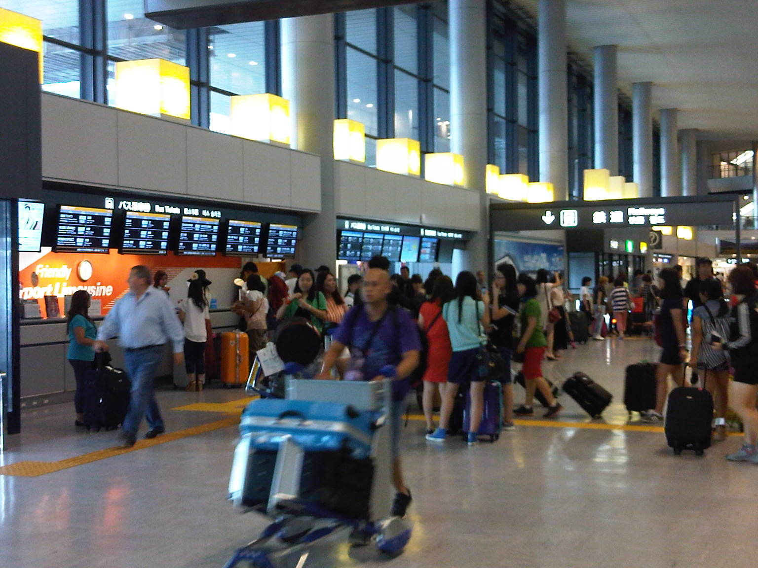 The Airport Limousine counter at the arrival area where passengers may inquire about services and purchase tickets.
 Bus stops are located just outside Narita Terminal 1
 The information boards on Airport Limousine stops provide information for the next bus for a particular destination in both Japanese and English.
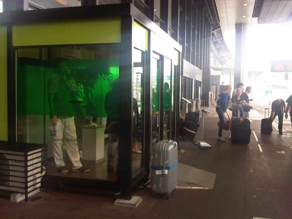 Smoking areas are located outside the airport and are enclosed. There is air-conditioning for ventilation.
 A Limousine Bus bound for the Yokohama City Air Terminal (YCAT) is shown loading passengers. I used to take this bus as an alternate for going to Yokohama. My other option was the Airport Narita trains of the JR Yokosuka-Sobu Line.
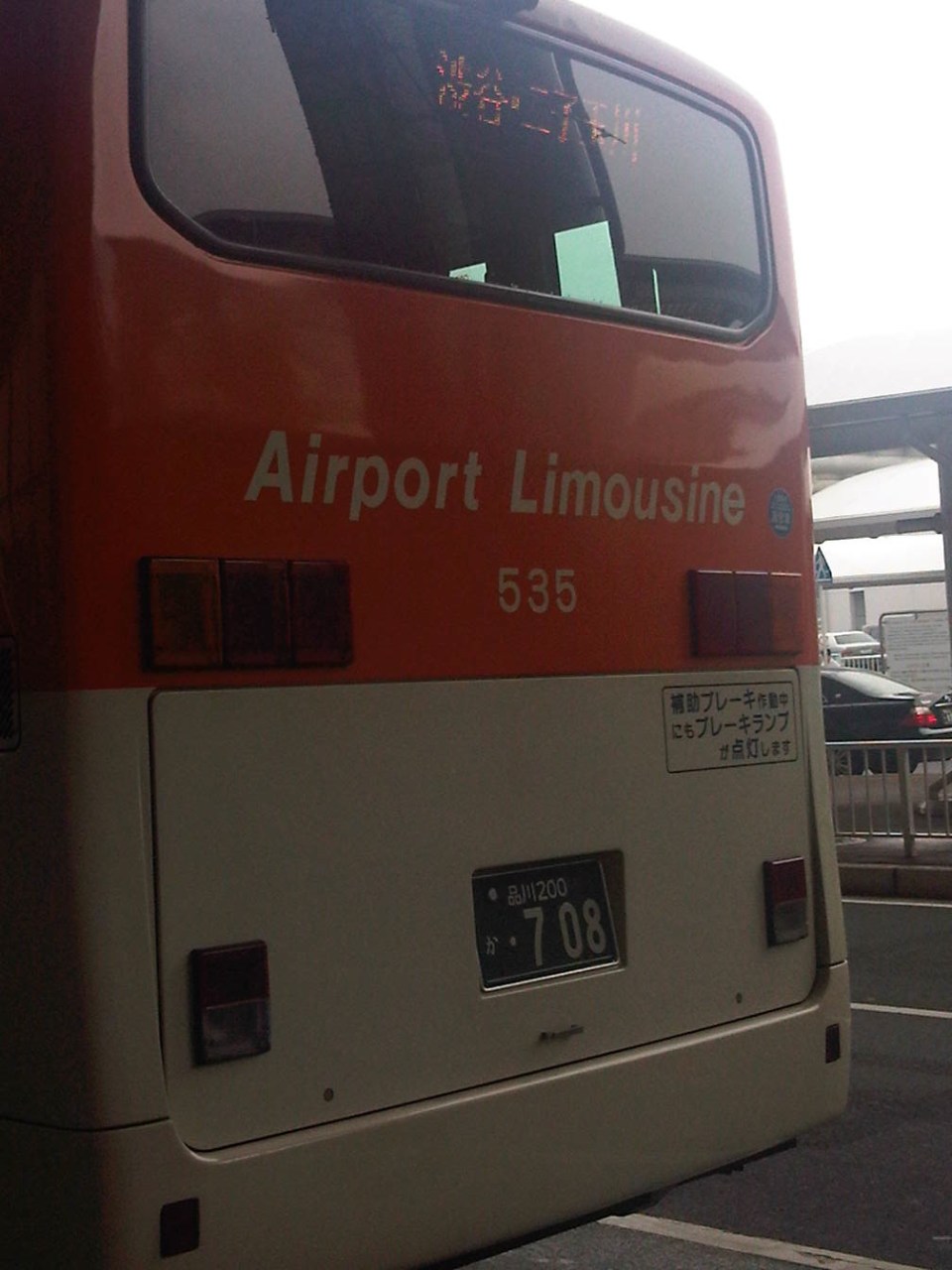 Back of a bus bound for Shibuya and Futako Tamagawa in western Tokyo.
 Airport Limousine Bus ticket from Narita to Akasaka
 Baggage claim stub
When I was still residing in Yokohama, I usually took the train to Narita and the bus when returning from the airport and via YCAT. This was because I usually travelled lighter when going to Manila than when I was returning since I brought back some food items for times when I was feeling homesick and longed for something familiar to eat. Cost-wise, the airport limousine bus service cost a bit more but was more convenient for my return trips. Later, in my stays at Saitama, the obvious choice was the bus to and from Narita through Omiya Station as traveling by rail was more complicated due to the transfers. The additional cost is easily justified by the convenience and comfort provided by the bus service.
–

