
Home » Public Transport (Page 58)
Category Archives: Public Transport
V. Luna Extension
V. Luna Extension starts from the intersection with Kalayaan Avenue runs until the boundary with Bgy. Botocan in Teachers Village where it becomes Maginhawa Street. It was mainly a residential street being practically part of the Teachers Village/Sikatuna Village area in Quezon City. The street has been widened to 4 lanes from its wide 2-lane carriageway. However, the additional lanes are not fully utilized for traffic. Rather, they are occupied by parked vehicles and, at some sections, informal tricycle terminals. Following are photos taken one weekday afternoon showing typical conditions along the road.
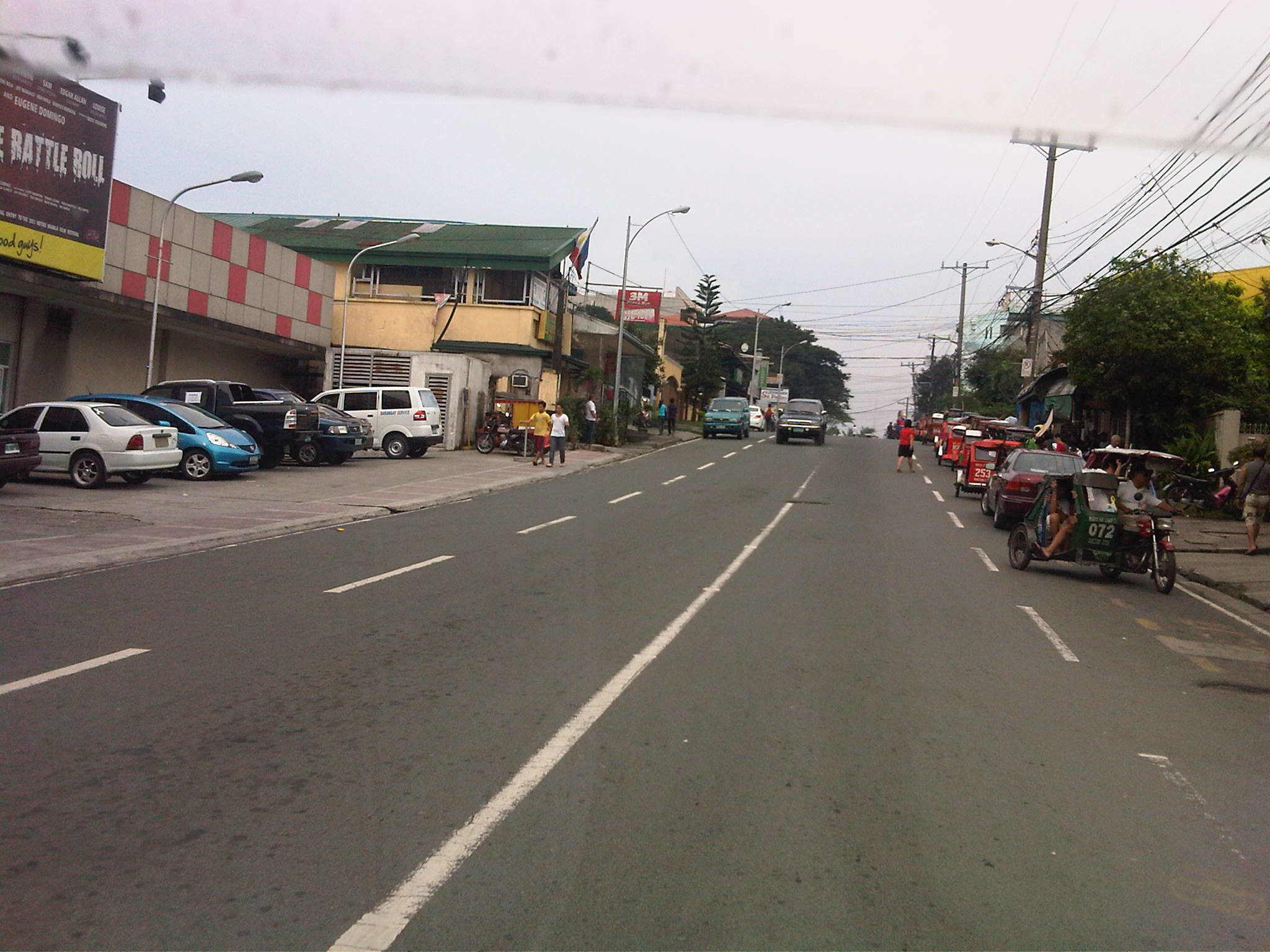 Section in front of SaveMore – while there are off-street parking spaces available at the supermarket side of the road and reducing on-street parking there, the other side’s curbside lane is occupied by a tricycle queue.
 The tricycle queue extends well beyond the head shown in the previous photo. In the picture above, on-street parking in front of residential buildings along the street are shown. There is a yellow line painted on the pavement that seems to be a guide for the tricycles. While I am sure they try their best to park close to the curbside, these 3-wheelers still end up occupying significant road space, thereby reducing traffic capacity.
 Further down the street one starts to realize that the tricycle queue seems to go on and as far as the eye could see in the photo. Note the tricycles parked on the other side of the road, probably just coming back or going around to get fares.
 End of the line – still further down the street and quire near the end of the section designated as V. Luna Extension one can already see the end of the tricycle queue. One can just imagine how many more of these tricycles are going around the village and just how much drivers take home as their net income at the end of a very competitive day. I say competitive here because for the numbers alone at the informal terminal, you get the idea that demand is quite limited and that there is an over-supply of 3-wheelers in the area. Unfortunately, these transport modes are the source of livelihood for many people and to many, a career operating these vehicles seem to be targets for many who have limited opportunities to study and eventually find better-paying jobs.
 Pedestrian crossings – from the previous photos, it is not hard to see that there are few places designated for crossings. In fact, along the entire length of this street (and others like it) people cross just about anywhere. This is possible since traffic is still typically not so heavy along this street.
 Fork in the road – V. Luna Extension continues to the left but as Maginhawa Street in UP Teachers Village. The street on the right is also a part of a residential area, Bgy. Botocan, along which is the ROW of Meralco’s power transmission lines.
–
What if Manila retained its railway lines of old?
It is possible to trace the old railway lines of Manila to the towns to its east in what is now Rizal Province. I had seen it in one railway blog that one of my students showed me after we took up the history of railways in the Philippines where I showed them old maps of the railways in the Philippines. And so based on the descriptions found in those maps and texts combined with familiarity with the places mentioned there and the availability of a tool like Google Earth, it is possible to produce the following images showing two particular lines that could have been “game-changers” for a lot of people taking public transportation between Metro Manila and the areas to its east (i.e., towns in Rizal Province).
 Traces of railway lines of old from Tutuban in Manila to Antipolo (blue) and San Mateo (green)
 The blue line extending to Antipolo City passes through an area that is part of Valley Golf and ends up near the Antipolo Church (Shrine of Our Lady of Peace and Good Voyage). This line could have been a major mode for commuters residing in Antipolo, Taytay, Cainta and Pasig City.
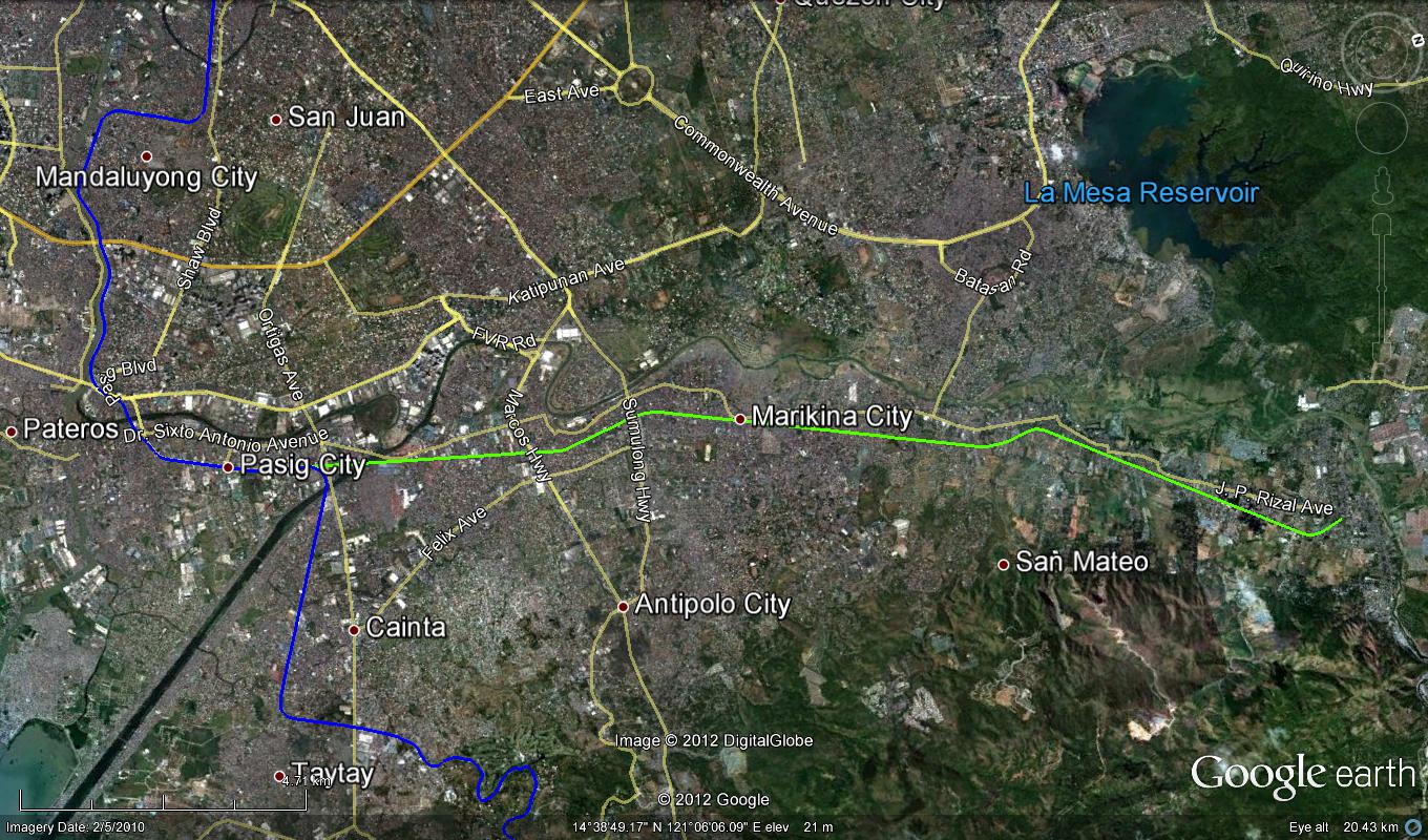 The line extending to San Mateo, Rizal passes through densely populated parts of Pasig and Marikina Cities. The line could have served people residing in these towns all the way to Rodriguez (Montalban).
The outcomes of the exercise of tracing old railway lines as shown in the previous photos allow us to appreciate and maybe contemplate on the “what ifs” and “what could have beens” if the Philippines did more efforts in retaining its railway system after the Second World War. I do not think planners at the time were able to anticipate the rapid development of the area that was to formally become Metro Manila in the 1970’s. While the road network plans were in place, thanks to the design by Daniel Burnham, what Manila and its environs needed was a transit network that did not depend on roads and something that would have been able to carry much more people (and maybe even freight) than the jeepneys and buses that emerged postwar. Perhaps we were not doomed to the current choices that we have and commuting would have been much simpler than the terrible experience many people from these eastern towns have every weekday. I leave it up to the reader to imagine how comfortable and convenient travel would have been along these lines.
–
CLRV: another look at the LPG Jeepney
The research on Customized Local Road Vehicles (CLRV) is currently underway with the project team going around the country to document different jeepney designs. The main objective of the study is to be able to formulate and recommend standards for jeepneys based on the requirements of stakeholders (e.g., passengers) and from the perspective of safety, ergonomics and efficiency. The last term is quite tricky as efficiency here generally refers to the performance of the vehicle, particularly related to fuel consumption. Efficiency may also touch on the capacity of the jeepneys, which would have implications on revenue (i.e., more passengers mean more fares).
Following are photos taken prior to the recent workshop held in Calamba, Laguna where the outcomes of previous workshops in Iloilo and Davao were presented for validation by a similar group of stakeholders. These included cooperatives, assemblers, automobile companies, NGOs, government agencies and other interested parties to the CLRV research. The study is being conducted under the auspices of the Philippine Council for Industry, Engineering and Energy Research and Development (PCIEERD) of the Department of Science and Technology (DOST) and funded by the Department of Transportation and Communications (DOTC).
 One of the jeepneys on display was a 24-seater LPG-powered jeepney by David Motors
 Hyundai Theta engine converted for LPG
 Another look at the engine, which is practically the same engine used by the popular Starex vans. There were two other LPG jeepneys that day with both having Toyota engines converted for LPG. The engines are from the ones used by Hi-Ace models.
 Bench seats inside the LPG jeepney – there is still a door at the rear but it is used as an emergency exit rather than the main entry/exit for the vehicle. The sliding windows are sealed because of the air-conditioning installed for this jeepney.
 The main door for the jeepney is at the right side just across from the driver. This design mimics those for buses and should enable more efficient collection of fares. That is, passengers may be asked to pay their fares immediately upon boarding the jeepney.
 6A close look at the dashboard, which is a mix of parts coming from different vehicles. The steering wheel, for example, bears the emblem of Hyundai. This jeepney had power features such as power windows that can be controlled by switches on the panel board to the left of the steering wheel.
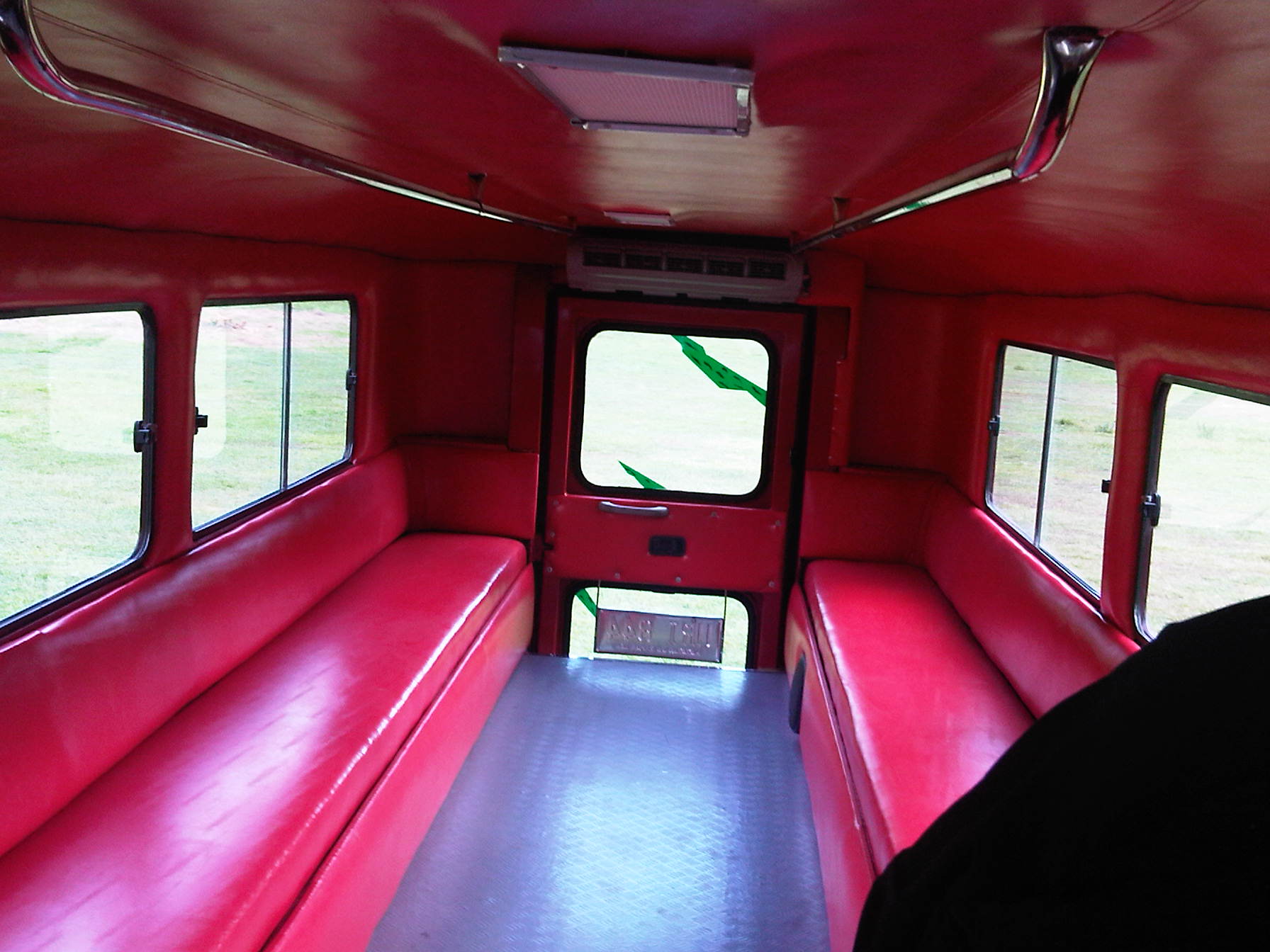 Driver’s rear view of passengers and whatever will be trailing the jeepney in traffic.
 The jeepney door is operated through a lever, parts of which are taken from a gear shift. The handle is well within reach of the driver of the vehicle.
 Exec. Dir. Rowena Guevara of DOST-PCIEERD interviews the driver and mechanic of this LPG from David Motors. According to them, the performance of the jeepney is the same as conventional ones and that this less noisy as well as having less emissions. Assemblers of LPG jeepneys say that consumption is about 7.3 km/kg of LPG, which compares well with the estimated 7.5 km/L of diesel consumed by well-maintained conventional jeepneys. LPG is cheaper so it can be inferred that overall, drivers and operators would have increased revenues if they used LPG jeepneys.
 The LPG jeepney is one (there are also electric jeepneys) of the variants being touted as the future of the vehicle. The “eco” tag is among the pitches for these jeepneys and should be a consideration for the study.
–
Araneta bus terminal
Cubao in Quezon City has always been a point of convergence for a lot of people and, like Pasay City, is a gateway for people coming from all over the country. Cubao is one of the larger commercial districts in Metro Manila and its Araneta Center is host to a large bus terminal catering mainly to southbound bus companies. The terminal is larger than any of the individual, private terminals around Cubao and nearby along EDSA or Aurora Boulevard. Most of these private terminals are for northbound buses. Southbound refers to buses connecting Metro Manila with Southern Tagalog and the Bicol Region in Luzon Island and those taking the western nautical highway and the Roll-On, Roll-Off (RORO) system to the Visayas and Mindanao provinces via the Port of Batangas and Mindoro. In fact, it is possible to take the bus to Caticlan, the jump off point for the immensely popular Boracay Island.
The Araneta Bus Terminal is located a block away from the Araneta Coliseum, housed in a building that was formerly the Rustan’s Department Store (to those who remember the old store) just across from the Ali Mall. It used to be located at an open lot across to the east of Ali Mall but had to be moved to its present (and perhaps better location) after the lot was committed to a new condominium development. Bus companies have their ticketing services inside the building and one can reserve tickets for future trips or, if seats are still available, can purchase tickets outright for buses scheduled to leave around that time.
 Passengers waiting or purchasing tickets at the Araneta bus terminal. There are clean rest rooms inside the terminal.
 Another look at the ticket booths and waiting area at the terminal. There are also stores selling food, snacks, drinks and even souvenir items. Popular pasalubong are assorted biscuits and other food stuffs. Located at the second level are terminal offices and a BPO, which shares tenancy with the terminal.
The terminal is usually very crowded during Christmas, Holy Week, and All Saints’ Day when people flock to the provinces (i.e., their hometowns). Many bus companies sell seats ahead of these holidays and people are encouraged to purchase tickets ahead of their trips to make sure they do get seats.
–
Suitability of public NMT in the city?
Paratransit systems are a common thing all around the Philippines. Some have been part of the mainstream that to call them paratransit seems inappropriate. Among the most dominant modes of transport in the country are the jeepneys and motor tricycles that serve short to very long routes in many areas in the country including the National Capital Region. There is also the so-called kuliglig in the City of Manila that is a 3-wheeler comprised of a bicycle and a side car. The bicycle is motorized, using a small motor much like the one used by pumpboats or bancas. These are very much the same as the “tricyboats” of Davao City and other parts of Mindanao and the Visayas. The “original” kuliglig may be found in rural areas and these are basically farm tractors pulling carts that may be used to transport people or goods (e.g., farm products, raw materials, etc.).
When the term “non-motorized transport” or NMT is mentioned, the first things that come to mind are probably bicycles and walking. There are other NMT modes around including animal drawn vehicles and pedicabs. Perhaps the most well-known animal drawn vehicles in the Philippines are the calesas and caretelas, which are pulled by horses. Pedicabs are 3-wheeled vehicles consisting of a bicycle and a side car. These are quite popular in residential areas particularly in residential subdivisions or villages where tricycles have been prohibited or restricted due to their noise and emissions.
Pedicabs, however, have become an attractive means of livelihood for people who have less options for employment (i.e., many drivers have no qualifications to apply for more formal jobs). As such, one will find them proliferating where there is a perceived demand for them; including urban streets where they serve as feeder services quite similar to those offered by their motorized counterparts. While tolerated along minor streets, many have tested the waters and the limits of regulations by taking major roads. The following photos show such examples where pedicabs are seen operating along major roads.
 NMT along national roads – pedicab at the intersection of Quezon Avenue and Agham Road
 Informal terminal for informal transport – pedicab queue along the Quezon Ave. service road
 Cause of congestion? – pedicab (and tricycle) operating along the bus lanes of EDSA in Pasay City. Such situations expose drivers and their passengers to risks of being hit by larger motorized vehicles such as buses and trucks.
 Over-reaching? – pedicabs defy regulations against them using national roads and particularly major ones like EDSA.
There is the persistent challenge of how to rationalize public transportation in many Philippines cities. In fact, there are cities that have embraced paratransit modes as part of their character and thus seem unlikely to upgrade or phase out such transport modes from roads or routes that require higher capacity vehicles to deliver higher levels of service. For one, there are socio-economic and political factors that have to be considered in any initiative focusing on these modes of transport. Many are already organized or members of organizations such as tricycle operators and drivers associations (TODA) and jeepney operators and drivers associations (JODA). These have become quite influential over the years and have even participated in elections as party list groups while also exerting pressure on government agencies when issues like fuel price increases and fare setting are in the spotlight.
Many public NMTs are not as organized or empowered as their motorized counterparts. However, many are connected with groups such as those of the urban poor and NGOs taking their side when issues are raised regarding their operations. Perhaps these NGOs should take a closer look at public transport as not just a source of livelihood considering the responsibilities that come with providing such services. And perhaps they should also busy themselves with helping people learning skills that will not commit them and their descendants to being jeepney, tricycle or pedicab drivers.
–
Using the Bangkok subway
I have gone around Bangkok in the past using the BTS Skytrain, buses, taxis and once using the tuktuk. I have only used the subway once as it has only one line and in the past trips to Bangkok I really didn’t need to use it considering most of my destinations were within walking distance of a Skytrain station or required the services of a taxi. And so I took the opportunity to take some photos at the Bangkok Metro during one commute to meet up with a friend.
 Directional sign guides people coming from the Skytrain platform to the MRT, Bangkok’s lone subway line
 Descending from the Skytrain station to the entrance to the subway station
 Directional signs guide commuters to the subway station
 Another descent, this time to the subway station plaza to purchase a token (instead of a ticket) to ride the train
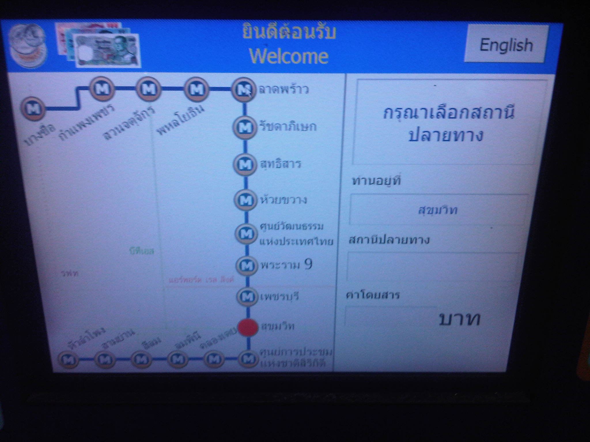 User interface for the Bangkok subway – commuters who can’t read Thai may opt to go for the English option. Unfortunately, the MRT’s system is not integrated or compatible with the Skytrain’s and so I could not use my Rabbit card for my fares. I think the MRT should work on this as it would be to their advantage.
 The station is spacious and there seems to be still few passengers using the subway – Fares have been criticized before for being expensive compared to bus and Skytrain. As such, the system is not as crowded as Singapore’s MRT or the Philippines’ elevated rail systems.
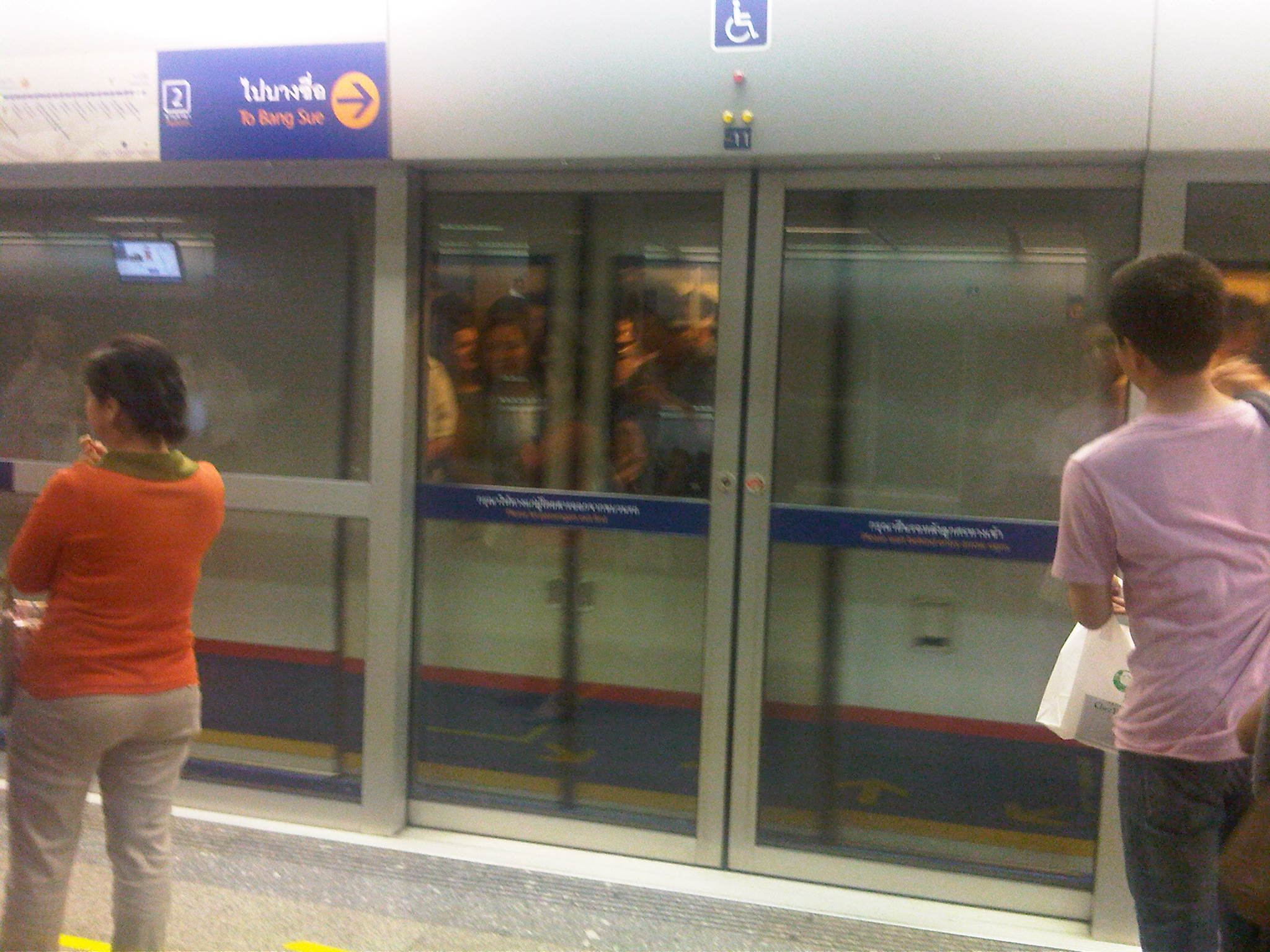 Platform doors are synchronized with the train doors, ensuring safety for commuters.
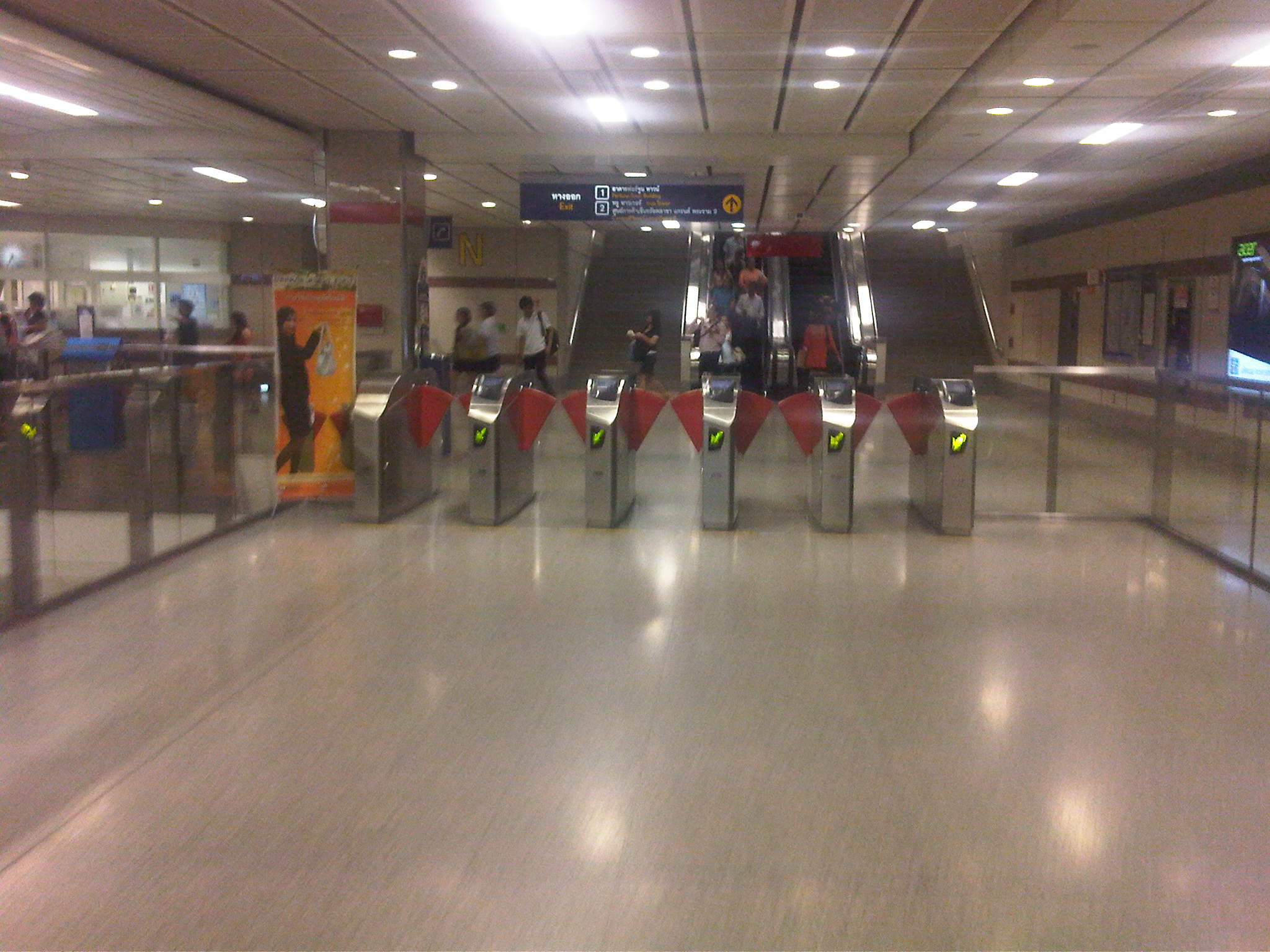 Turnstiles are similar to those in Singapore and Japan
I think the Bangkok subway is still a good option along the corridor it serves though it would be better if it is extended to increase its reach and consequently its ridership. Issues on inter-connectivity with other modes especially the Skytrain have been addressed to some extent but remain. Its most difficult challenge pertains to fares and is something that would probably be difficult to tackle given the financial implications but is necessary to encourage more people to use it regularly.
–
Of stored value cards and other ways for paying fares
I was in Thailand for at least once a year during a certain stretch in the last decade as part of my university work. Whenever I was in Bangkok, I bought a one-day pass for me to have practically unlimited use of the BTS Skytrain for a day. Other times, I bought a 3-day pass in order for me to also see and experience the system. Those times in the past, there were no IC or stored value cards for use in commuting in the Thai capital like those in Singapore, Hongkong or Japan. And so I was quite happy to see the availability of a stored value card when I familiarized myself with the Skytrain last week.
The Rabbit card, as it was called, is a stored value card that still has limited use for commuting and other purposes. At present, it can only be used for the BTS Skytrain and a few shops. It cannot be used for buses, taxis or the MRT (Bangkok’s subway). There are three variants for the Rabbit card – one for students, one for senior citizens, and another for adults (all other people).

 Back of the card where simple instructions for use of the card are indicated in both Thai and English.
The Rabbit card is not yet as useful, versatile or convenient as Singapore’s EZ-Link or Japan’s Suica and Pasmo commuter cards. Still, it is an improvement that will surely and steadily have more uses in the future. And so I look forward to the next trip to Bangkok when perhaps my Rabbit card will be useful for other modes of transport as well.
I am posting this article about the Rabbit Card as I listen to news about problems currently being experienced by the EDSA-MRT 3 in Metro Manila. It seems they had run out of stored value cards (maximum load of 100 PhP) and single journey cards that the administration had to resort to issuing paper tickets to accommodate the many commuters using the system.
There used to be RFID cards issued by the two giant telecommunications companies in the Philippines that could have been the solution to the current problems for the MRT3. Unfortunately, these have been phased out a few years ago. And so perhaps for the sake of the thousands of commuters using the MRT3 and other rail lines (and later even buses, jeepneys and taxis) in Metro Manila, transport officials finally invest in a card and/or pass that can be used by commuters and tourists alike. One would think that many who are with the DOTC, MRTC and the LRTA would have already experienced the systems in other countries and so they could have an idea of what could be so beneficial to public transport users here.
–
Airport Rail Link in Bangkok
The last time I was in Bangkok was in 2005 or 2006 and so it has been a while since that last trip that I was curious about how the city would look like after 6 years. Was there anything new? Did it change much since the last time? At the very least, I was expecting to have new experiences and it didn’t take long before I had one, trying out the express rail link between Suvarnabhumi Airport and the city. The rail link was still under construction the last time I was in Bangkok and one had no choice at the time but to take a taxi or a shuttle between the airport and the hotel.
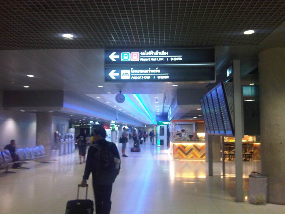 The walk from the arrival area to the Airport Link
 Ticket vending machine with English instructions upon the press of a button. We purchased tickets for the Phaya Thai Express to transfer to the BTS Skytrain
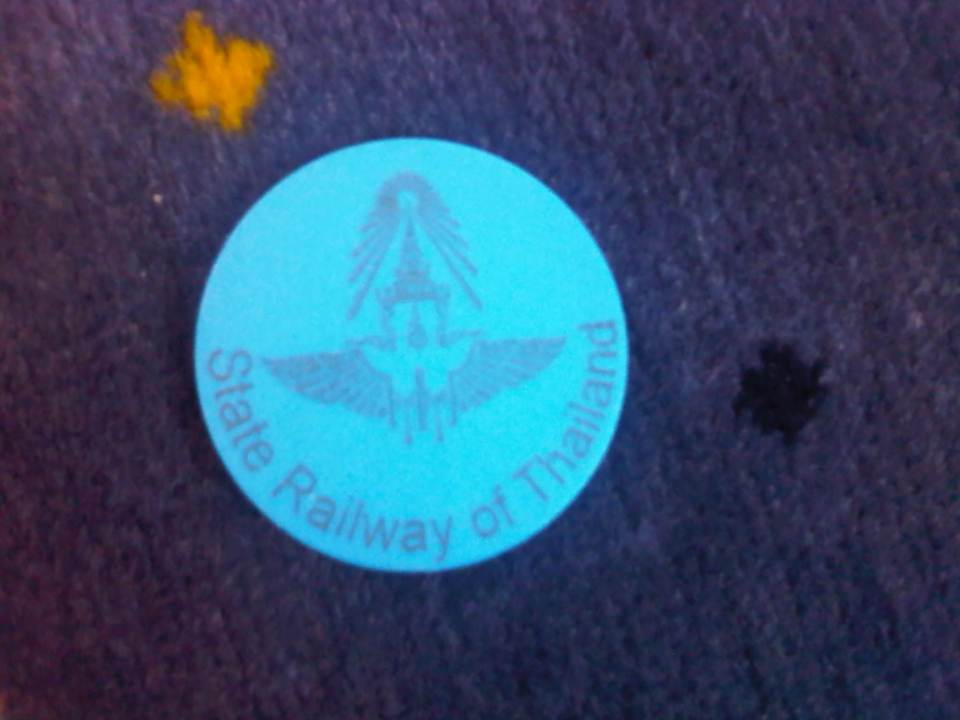 Token for the Express Rail Link trip from the airport to Phaya Thai Station – the link is operated by the State Railway of Thailand, their counterpart of our Philippine National Railways. The trip cost 90 Baht (~ 130 PhP), very cheap compared to taking a taxi.
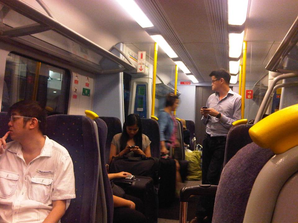 Passengers inside the Airport Link Train
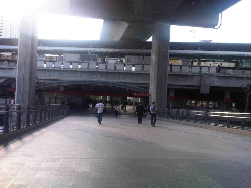 Walk from the Airport Rail Link’s Phaya Thai Station to the BTS Skytrain Station
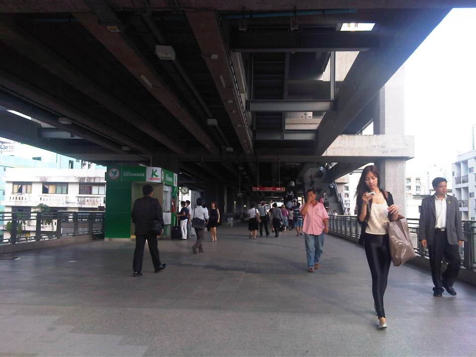 Looking back at the Phaya Thai Station
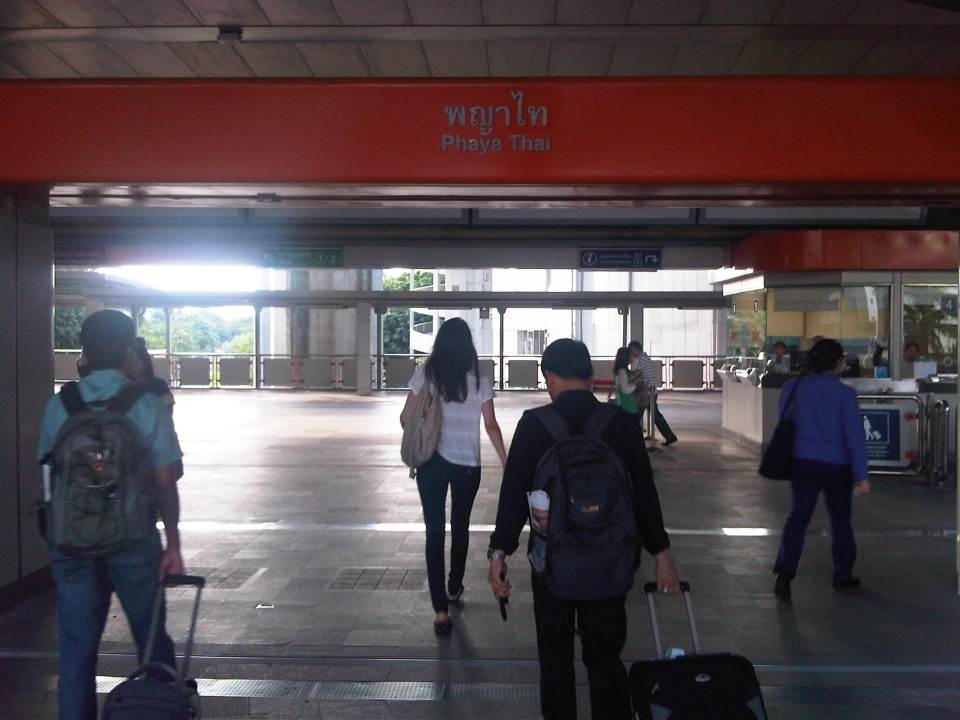 Phaya Thai Station of the BTS Skytrain
It would be very nice to have a similar rail link between the MRT 3 or LRT 1 Lines and NAIA in Manila. In fact, how difficult would it be for the LRT1 Line to have an extension to the airport terminals of NAIA when it’s depot is just across the road from the old domestic terminal? This would probably be easier than constructing a new monorail or whatever system it is that is being planned between Bonifacio Global City and NAIA. It is definitely much easier and perhaps cheaper compared to the still-born Northrail between Caloocan and Clark. One thing for sure is that we are really behind our ASEAN neighbors when it comes to providing the infrastructure for public transport, in this case airport access.
Comparative study of jeepneys: LPG Jeepney
The University of the Philippines Diliman, through its National Engineering Center (NEC), National Center for Transportation Studies (NCTS) and the Department of Mechanical Engineering’s Vehicle Research and Testing Laboratory (VRTL), is conducting a comparative study on jeepneys. Three jeepneys will be the subject of road and laboratory tests including one conventional (diesel), one LPG, and an electric jeepney. The study is supported by the Department of Energy (DOE) through its Energy Utilization and Management Bureau (EUMB).
The following photos show the LPG jeepney provided by Pasang Masda that will be used for the study. Road tests will simulate actual operation along an actual jeepney route. The DOE secured permits from the Land Transportation Franchising and Regulatory Board (LTFRB) for the deployment of the 3 jeepneys for the UP-North EDSA (SM) route. A similar permit was also secured from the Metropolitan Manila Development Authority (MMDA) for the jeepneys to be exempt from the number coding scheme.
 LPG jeepney unit used in the study
 The LPG jeepney provided by Pasang Masda was assembled by David Motors, the pioneer of the LPG jeepney, and is owned by the jeepney group’s leader himself, Ka Obet Martin.
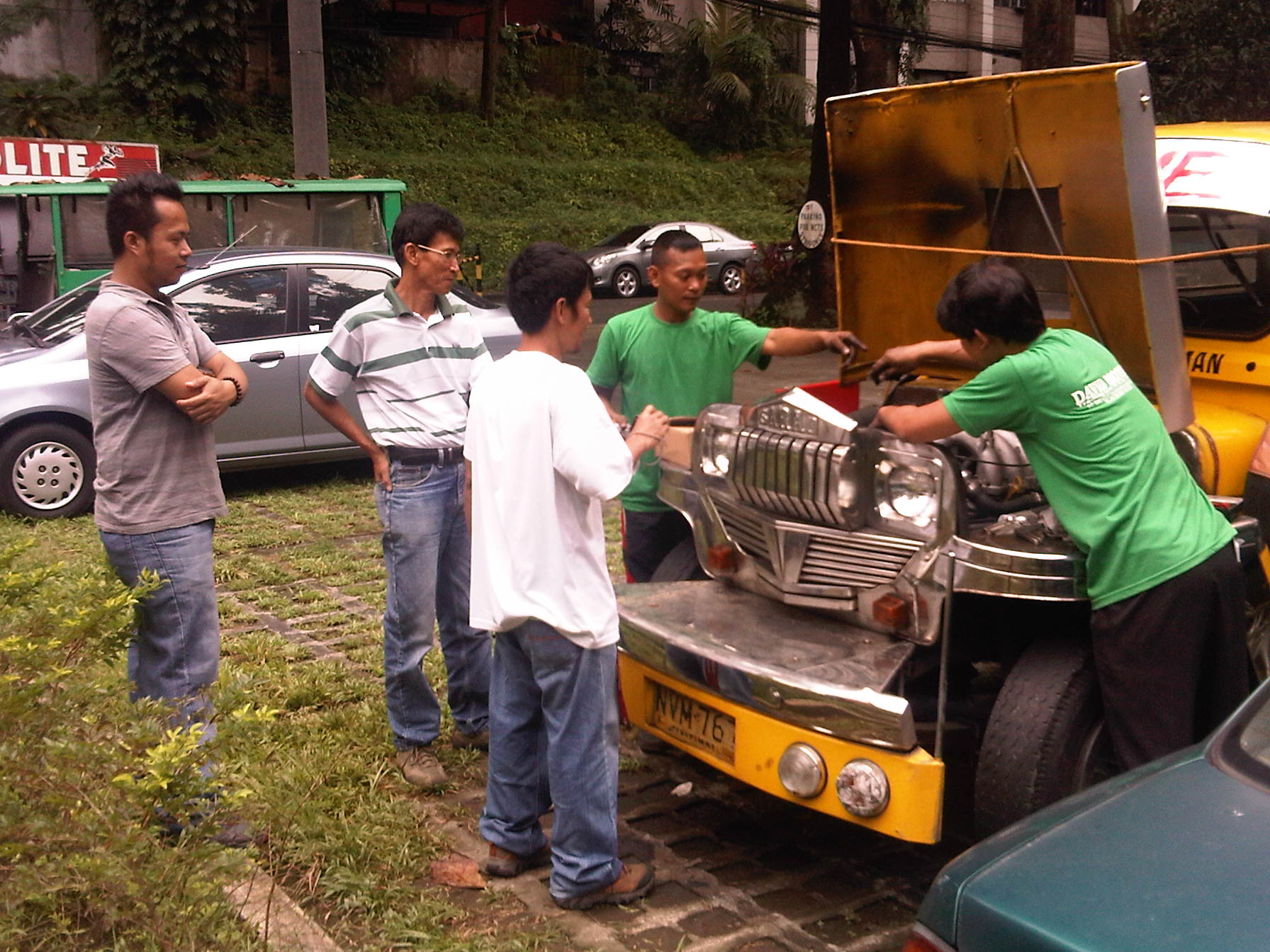 NCTS and David Motors staff work on the LPG jeepney’s engine in preparation for road tests. All jeepneys must be in tip-top condition prior to the tests in order for the comparisons to be objective.
 A look at the LPG jeepney engine
 The jeepney’s engine is supposedly not a converted one from a gasoline engine but is said to be an original Hyundai LPG engine.
 The LPG engine needed some maintenance work as it was apparently not well-maintained according to David Motors’ staff.
 Fuel indicator for the LPG jeepney
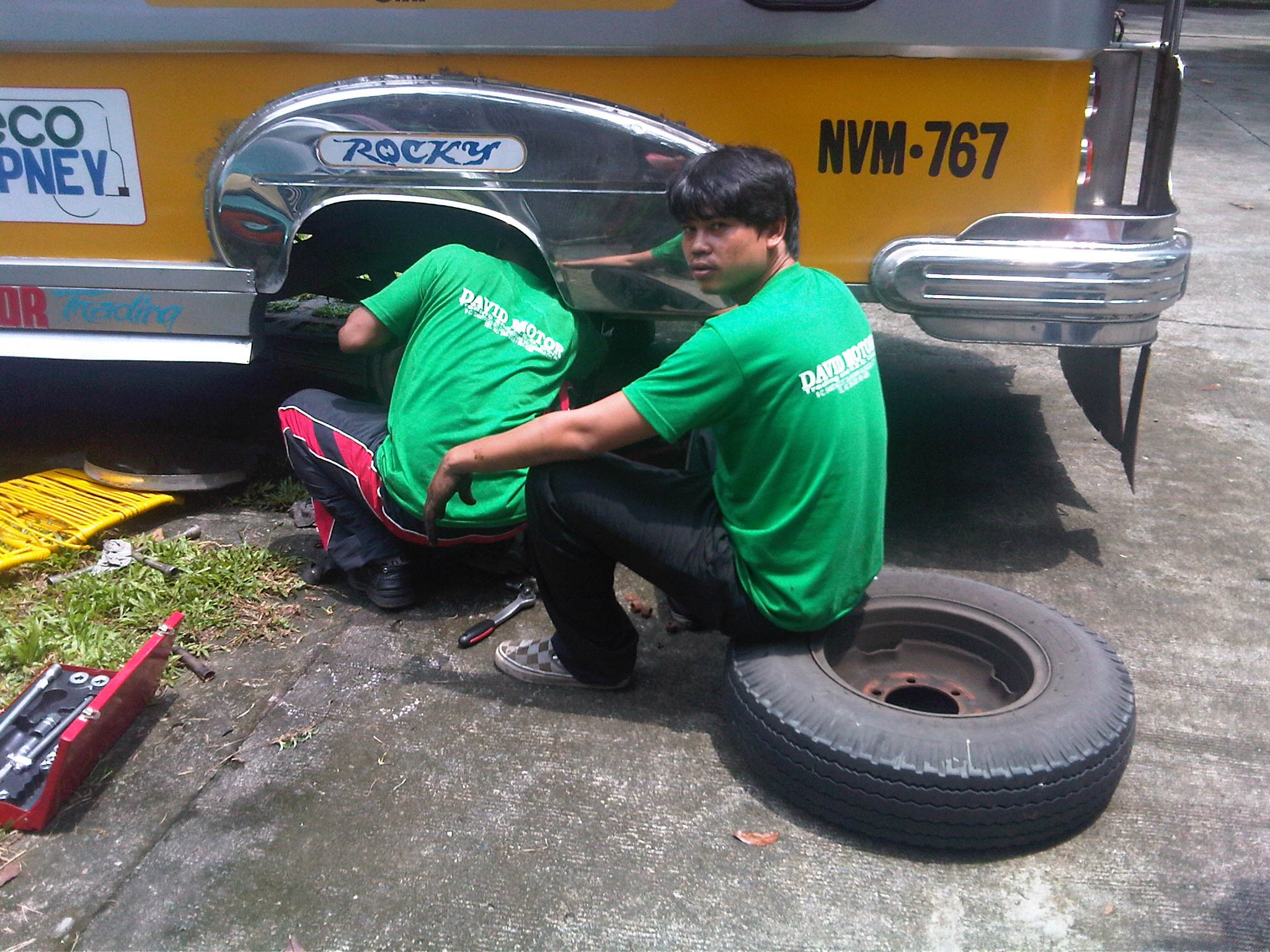 It turned out that it wasn’t only the engine that needed some attention. David Motors staff had to check everything that may affect the performance of this jeepney unit.
 9The brakes on this unit seemed to be defective; something that will affect the performance in both road and lab tests to be conducted.
As of this writing, the road and lab tests have not been conducted for the LPG jeepney due to the many issues about the unit provided by Pasang Masda. Apparently, the group was not doing its part in the study and it was as if they were passing on the costs of fixing the unit they provided to the study team. We hope it was not a conscious effort on their part, which if it did meant they were dealing with us in bad faith – not a good thing if they wanted to be a partner in this research collaboration.
–
Take public transport…it’s good for you!
An article came out of the Philippine Daily Inquirer where a contributor wrote about her experience riding a jeepney ride from Ateneo to UP Diliman and then back after having lunch and some fishballs somewhere at the Shopping Center (more likely at the Coop rather than at the SC). The link to the article may be found below:
After being shared on social media like Facebook, the author and her article received a lot of flak from people whom I think didn’t quite get the lesson of the story – something deeper than how the writer related her story of her commute. Some found it amusing but others focused (more like ridiculed) on the Arneow aspect of the article. There is even a parody of the article where a blogger wrote about his “experience” riding an MRT train. I won’t post that here despite it being humorous as it is irrelevant to the points I will highlight in this post.
I think we should encourage more people who probably mainly travel by car and have little experience taking public transport to try taking a jeepney or bus ride. This experience (an honest one I believe for the writer) will be something that hopefully changes their perspective of transport (and life in general). Who knows? The person might one day be in a position to make a significant impact on our transport system. And we do need decision-makers who take public transport rather than private cars if only to have an appreciation of how it is for most other people who take public transport in this country.
I am reminded of experiences commuting in other countries where they have good public transport and people from most income levels take these everyday. Cars are used mostly during the weekends or when it is really necessary (e.g., emergencies, fetching someone at the airport, etc.). Snooty as some may seem, people have to be educated and have the experience of riding public transport in order to enlist them among the many clamoring for better transport services and facilities. Who knows that person might be able to influence well-placed people to make the decisions that will lead to the improvement we seek for public transportation. If you don’t use or haven’t used public transport, you likely to be detached from the reality that most other people encounter everyday as they travel between their homes and the workplaces or schools.
I reproduce the article from the Inquirer below for reference now and the future:
Lessons from a jeepney ride
Nicole Ki
Philippine Daily Inquirer, 12:43 am | Friday, September 7th, 2012It was lunchtime. My blocmate, who so badly wanted to go to the University of the Philippines (UP) for lunch, suggested that we go.
We were walking in the heat of the sun, and it had just started to get even warmer when we finally reached the underpass. Many jeepneys were parked, as barkers tried to lure passengers to ride.
I went through the motion with my blockmates and did whatever else they did throughout the commute; I was allowed to take public transportation only in college. I sat quietly, recalling how much I hated the thought of riding a jeepney, but how real it was that I was actually in one.
It didn’t turn out so bad; I didn’t experience the one-foot-in-and-the-jeepney-suddenly-jerks-pulling-you-in, like I did when I was a kid. That was my first jeepney ride, by the way.
I thought all jeepney drivers were impatient, like in the first ride I had. I guess I was wrong.
The jeepney came to a stop; finally we were at UP.
A short walk brought us to its Shopping Center. It had all sorts of stuff—photocopying shops, computer shops, a clothing store, mini restaurants, a barber shop, a hair salon, even a Bayad Center and Western Union; everything you could possibly ever need for school and more.
It was amazing. I had wanted to stop to look in every store, but we had a little less than an hour, and we still didn’t have a place to eat.
We continued walking until we reached a cafeteria which served cheap home-cooked meals. We all ooh-ed and ahh-ed with each bite, not only because the food was good but also because food here was cheaper than at Ateneo. Even if we were already full, we had set our minds to try out the famous UP isaw, kwek-kwek and fish balls.
We stumbled upon a stall which offered only fish balls. It took some 15 minutes for the food lady to fry them. As we looked at our watches, we knew we weren’t going to make it on time.
We walked some more to the nearest waiting shed to hail a jeepney. With our consolatory fish balls in hand, we saw kwek-kwek—but too late.
I had not expected the ride back to go as smoothly as the ride to UP. First off, I wasn’t seated in the farthest end anymore, nearest the door; I was nearest the jeepney driver. Just the thought of how I’d get off the jeepney at our stop made me cringe.
With all this negativity, I was genuinely surprised at how interesting my seat turned out to be! This was where the action happened, and I’m so glad I got to be in it.
“Para po.”
“Bayad ho.”
“Senior.”
“Estudyante.”
New language
When I first heard the passengers say these lines, I was amazed. It sounded like a new language to me altogether. The words sounded sincere and friendly. And since I was seated just behind the jeepney driver, most of the payments coming from these seemingly interesting human beings were passed to me. It felt like I had a sudden connection with all the passengers. I was suddenly part of something. I was wide-eyed in wonder. I got my P8 out of my pocket; “Bayad ho,” I said.
“Para po. Sa may National,” I said to the driver.
“Excuse me, bababa lang po,” I said to the person beside me, as I wiggled out.
And as I stepped down the jeepney and my feet hit the ground, a sudden realization hit me. Both of the jeepney rides I had that day, I realized, were a lot like life.
Our first experiences may not always turn out to be so great, like my first jeepney ride. We start just wanting to only try out things, and to test the ground, but as if with a sudden jerk, we’re pushed into a world we don’t know about yet. This would leave an unwelcome mark in our hearts, plus a bad memory, and this is usually the reason we stop and don’t give it another chance; we’re afraid to fail again.
But sometimes, life leaves us no choice; like this jeepney ride I was forced to take. I had unintentionally given public transportation another chance.
So if you tried something new for the first time and it didn’t turn out so well, try again. Don’t be like me, who had to wait for about 10 years just to be able to appreciate something. Who knows? It might be the most wonderful thing to ever happen to you.
It’s interesting how two simple jeepney rides can change your outlook in life. And guess what? I can honestly say I enjoyed them.
–
 Caught (up) in traffic

