
Home » Public Transport (Page 59)
Category Archives: Public Transport
Some thoughts on transport and traffic while commuting between Cainta and Antipolo
Commuting from the Ortigas (Cainta) end of Imelda Ave. to its other end at Marcos Highway (near where Pasig, Marikina, Cainta and Antipolo meet), one should be able to observe and make a quick assessment of the positives and negatives of our local transport system. While there are more negatives at Cainta Junction and along Imelda Avenue, Marcos Highway definitely has improved particularly in terms of walkability. It is a commute that I have taken so many times since my childhood days and I can only now remember times when one could walk safely from one end to the other when there were far less vehicles than the volume that flows along Imelda Ave. these days.
Junction is still quite the mess despite some road widening at the intersection owing to various factors including the fact that the intersection simply cannot handle the volume of vehicles using it even after the elimination of some turning movements from Ortigas Ave. in favor of U-turns particularly for traffic coming from the eastbound side of Ortigas. It seems the traffic signal settings can no longer handle peak period traffic and manual traffic management probably aggravates the situation especially when enforcers employ the buhos technique of trying to dissipate as much of the queued vehicles per approach or movement. The latter technique does not take into consideration that the longer a movement or group of movements are allowed to move, there are corresponding build-ups in traffic along all other approaches. It is a vicious cycle (pun intended) that is supposed to be addressed by an optimally times signal system. Saturated conditions, though, are inevitable due to the sheer volume of vehicles using the intersection given that Junction is a catchment for vehicles from Rizal Province that ultimately uses Ortigas Ave. to head into Metro Manila in the mornings. The reverse is true in the afternoon to evening periods.
Imelda Avenue, which was also known for a time as Francisco Felix Ave., is plagued congestion due to notoriously bad pavement conditions, so many median openings, and high vehicle trip generation rates from the many residential subdivisions or village along the road. The pavement conditions are due mainly to damage brought about by trucks and, during the wet season, frequent flooding along many sections of the avenue. Bad pavement conditions and flooded streets significantly slow down traffic as Imelda Ave only has two lanes along each direction and is divided by a narrow median island that’s just enough for a few plant boxes and lamp posts.
There are mostly middle class subdivisions including the large Vista Verde, Village East, Karangalan, and Pasig and Cainta Green Parks along the road. There is also a DMCI medium rise development has its main access road also connecting to Imelda Ave. These villages generate much vehicle traffic and each have their own median openings that practically function as intersections along the entire stretch of the avenue. These openings create a lot of conflict between through traffic and vehicles entering and exiting the villages, especially those taking left turns to or from their gates.
While there are commercial establishments along the avenue, most were small and traffic generation characteristics were not so significant as to cause severe congestion. The first major generator in the middle of the avenue was a branch of the membership-concept Makro supermarket cum depot. Makro generated significant traffic but did not cause much congestion along the stretch in front of the Village East gate. It was eventually acquired by commercial giant SM and the branch is now an SM Supercenter that seems to be generating much more traffic than Makro did at its peak. While traffic studies are usually the norm before such developments are constructed given the trips attracted by SM, the congestion experienced along Imelda Ave has been reported to be generally un-managed despite the need for more disciplined loading and unloading by public transport, pedestrian movements and vehicle entries and exits.
Jeepneys are the main public transport mode along Imelda Ave. although there are tricycles serving the various subdivisions that often not only cross the road but also travel along Imelda Ave. for short distances. I remember in the 1970’s and early 80’s that the tricycles used to be the primary mode of transport from Junction and the Cainta Public Market as Imelda was not yet connected to the still to be completed and unpaved Marcos Highway. There was even a Metro Manila Transit Corp. bus service (probably missionary route and with low frequency of service) along Imelda Ave. that turned around near Kasibulan Village, one of the first subdivisions in the area. Many jeepneys are noticeably the patok or popular type known for their loud stereos and reckless driving. Still, there are the smaller, older jeepneys whose route connects either ends of Imelda Avenue. Most patok jeepneys are from the many longer routes between Rizal towns and Cubao overlapping along Imelda Ave (e.g., Angono-Cubao, Antipolo-Cubao, Binangonan-Cubao, Taytay-Cubao, etc.).
–
Update on the UP AGT Test Track construction
Visiting the site at the University of the Philippines Diliman (UPD) where a test track for the Department of Science and Technology’s (DOST) is currently being constructed, one wonders if this is a precursor of a transit system that might eventually replace the ubiquitous jeepneys plying several routes within the campus. There have been misleading stories about this “replacement” going around the internet and being passed on from one person to another. I am aware of both as I regularly see posts in some online discussion threads that make it appear as if the UP administration and DOST are in discussion for a mass transit system to replace the IKOT jeepneys. They are not in any such discussions that I am aware of considering I am a member of the UP Diliman Transportation Committee. Perhaps people are inspired by an existing system in Germany at the University of Dortmund. I caution the reader against making any sweeping conclusions as UP Diliman’s travel demand characteristics are quite different from that of the University of Dortmund’s.
I also get asked a lot about what will happen to the jeepneys once the “monorail” is operational. My response is always that nothing will happen to them because there simply won’t be a monorail. What is being constructed is the superstructure for the test track of an Automated Guideway Transit (AGT) prototype. Being a test track, its being operational means it can be used for research & development (R&D) for future systems (hopefully, homegrown) that can be constructed where they are needed and appropriate.
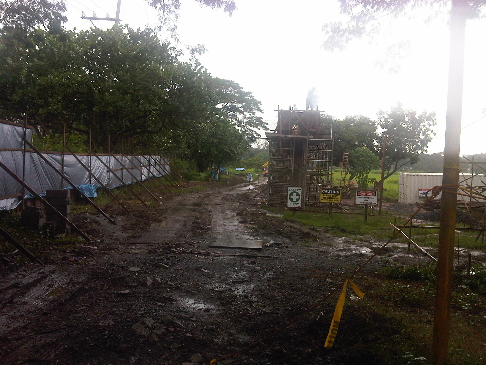 The site has been fenced off to minimize the appearance on-site of curious people (usiseros?). One such person even climbed a column to take photos of the construction work and posted these in the internet. As this is a construction site, such incidents are not supposed to happen mainly due to safety concerns.
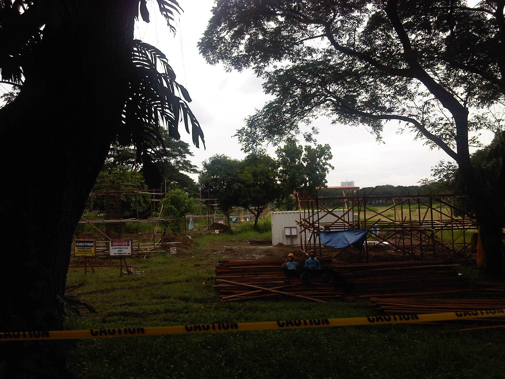
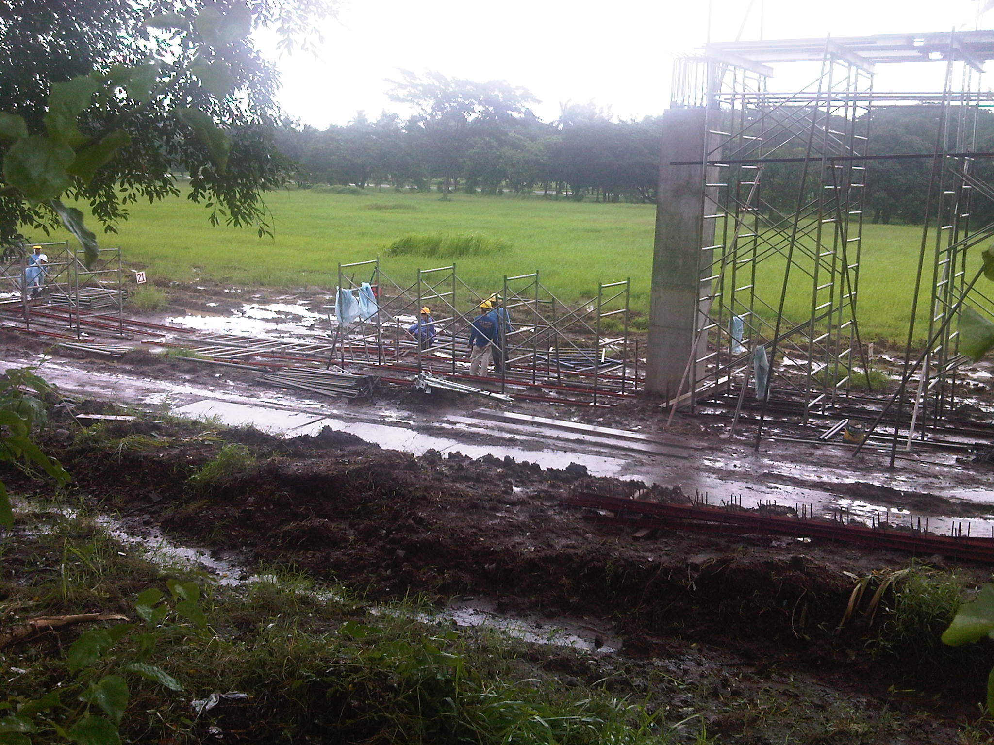 Construction work continues despite the wet weather. The week-long monsoon rains have rendered the ground muddy or mushy but workers are busy as if it were summer.
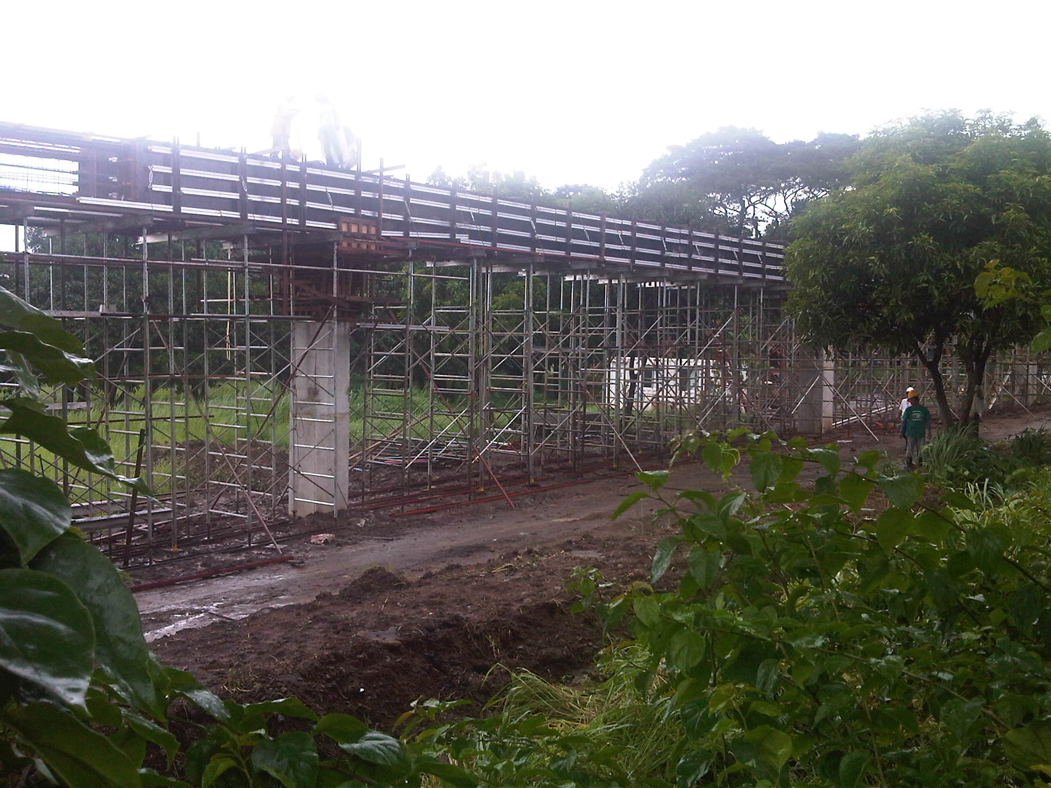 The columns for the elevated structure are all in place but in various stages of completion. Those along C.P. Garcia until the intersection with the University Avenue only have the reinforcing steel bars in place and awaiting the pouring of concrete.
 Construction materials are piled up on top of tarp-covered ground as workers take some time-out from their work.
The test track is supposed to be completed by October including the installation of power lines and a power station for the electric-powered vehicle. The DOST has also bidded out the assembly of the vehicle that will be used for the experiments. Hopefully, the vehicle will be ready by the time the test track is completed. It is expected that the AGT would have manned tests by late November or early December, in time for a demonstration before or on the day of UP Diliman’s Lantern Parade.
–
Paratransit in Davao City
While visiting a jeepney assembler in Davao, we took the opportunity to take not a few photos of paratransit vehicles along one road in Davao City. Of particular interest to us were what appeared to be three-wheelers that resembled the tuktuks of Thailand and the four-wheeled multicabs that served as an intermediate mode with passenger capacities between that of the tricycle and the typical jeepney.
What at first seemed to be three-wheelers were actually four-wheeled vehicles. For propulsion, they used typical motorcycles but instead of one-wheeled sidecars like the typical tricycles found in many cities and towns across the country, the fabricated body has 2 wheels and provided for two benches to accommodate more passengers.
Following are photos of these 4-wheeled paratransit vehicles we took while visiting a jeepney assembly in Davao. While there is a basic form for each vehicle, there are actually some distinct features for each, probably the manufacturer’s or assembler’s signature. There is no distinct color for any particular route so commuters would have to check the panel information before flagging one to make sure whether the PUV serves their destination although these seem to have fixed routes.
 Maroon body with white roof [Agdao – Jerome route]
 Gold body and roof [Agdao – South Bay route]
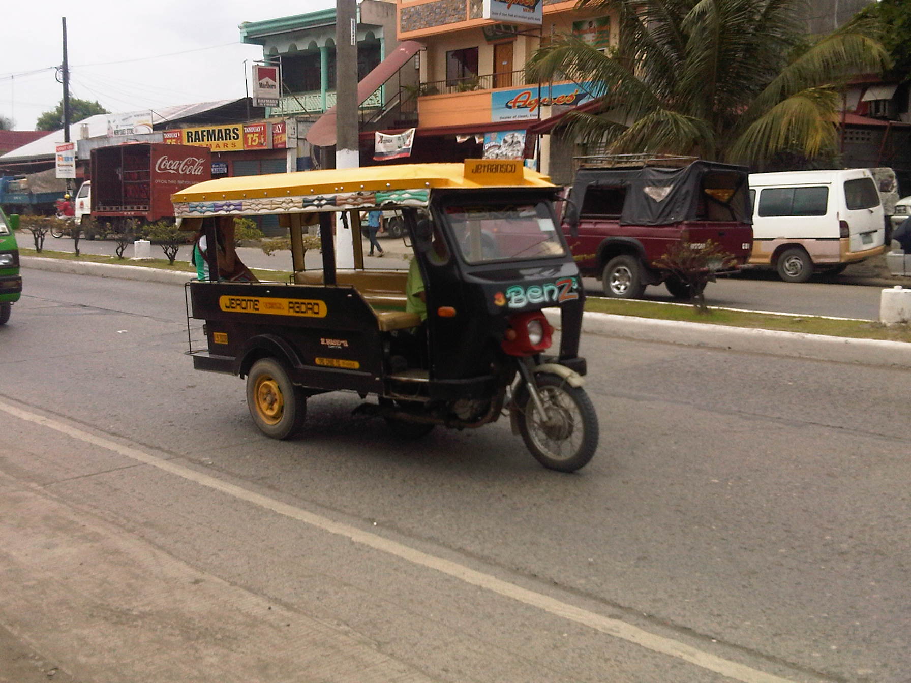 Black body and yellow roof [Agdao – Jerome route]
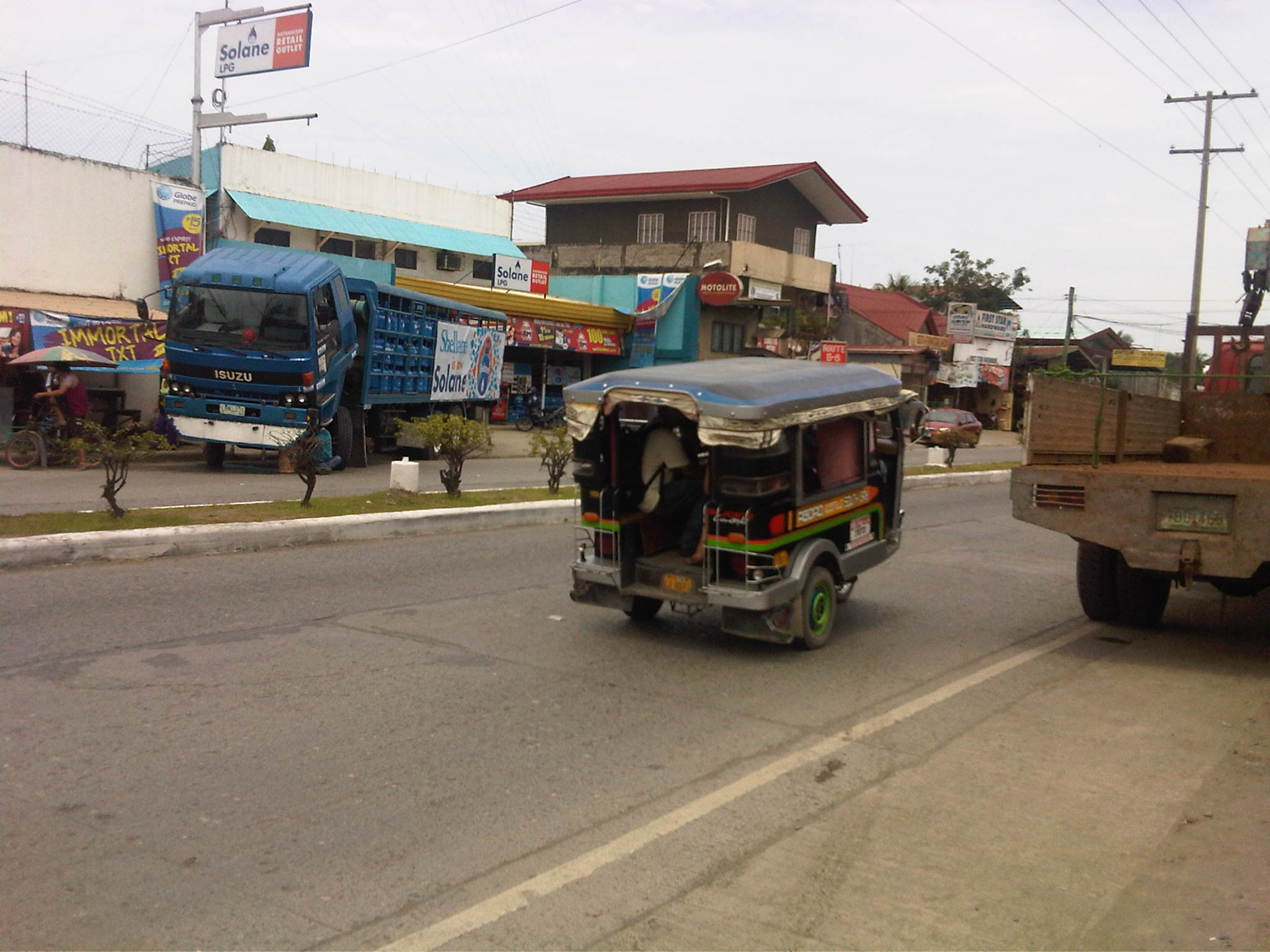 Black body and blue roof [Agdao – South Bay route]
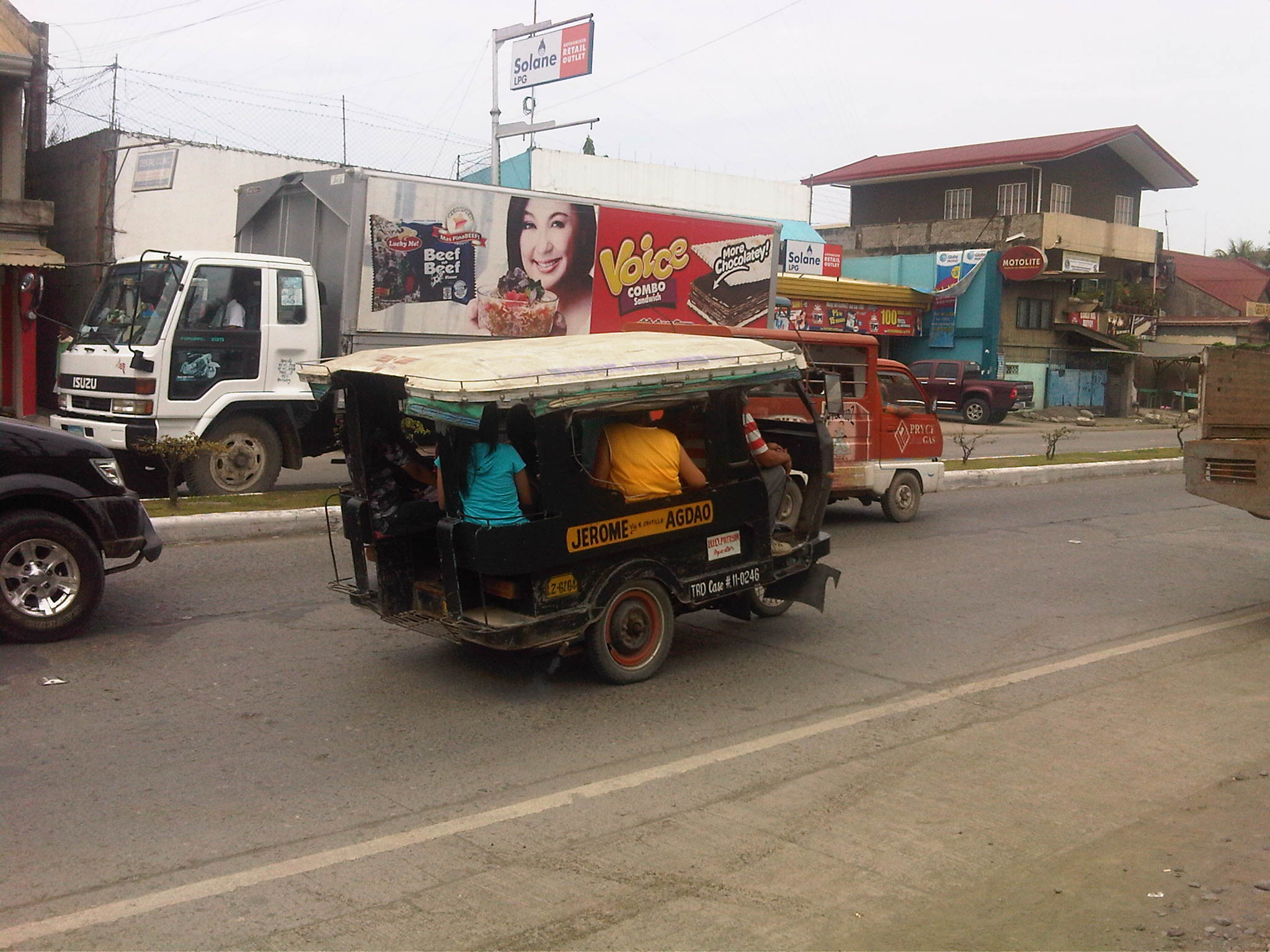 Black body and white roof [Agdao – Jerome route]
We were also able to observe another form of jitney, which are generally called multicabs in the Philippines. The term multicab seem to have originated from a brand for these 3-cylinder engine vehicles that are fitted to carry passengers or in some cases as small freight vehicles. These are very popular in the Visayas and Mindanao where they typically seat 10 – 14 passengers excluding those in the front seat. The vehicle is narrower than the typical jeepney so only two people can usually fit in the front.
 12-seater multicab
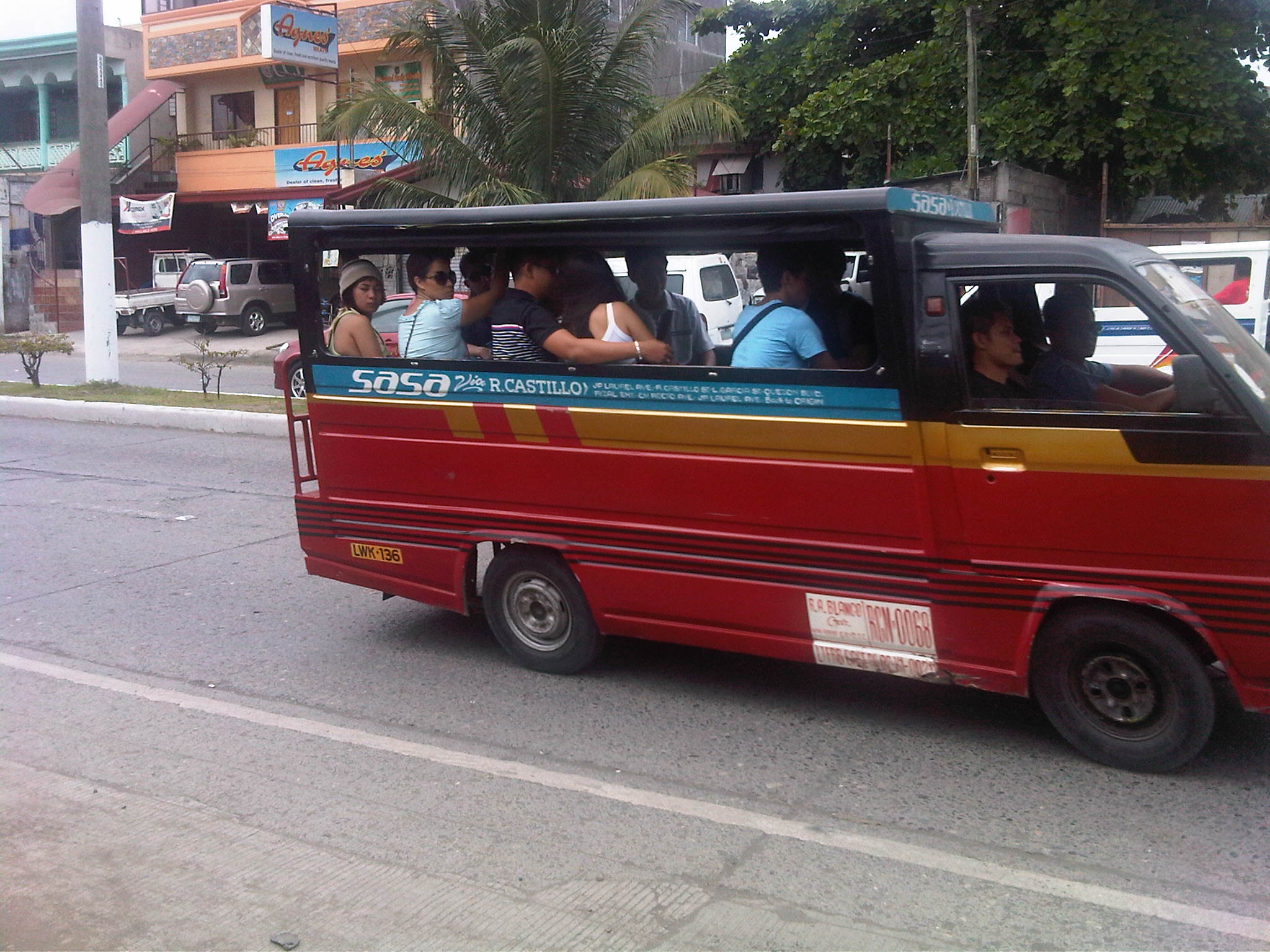 14-seater multicab
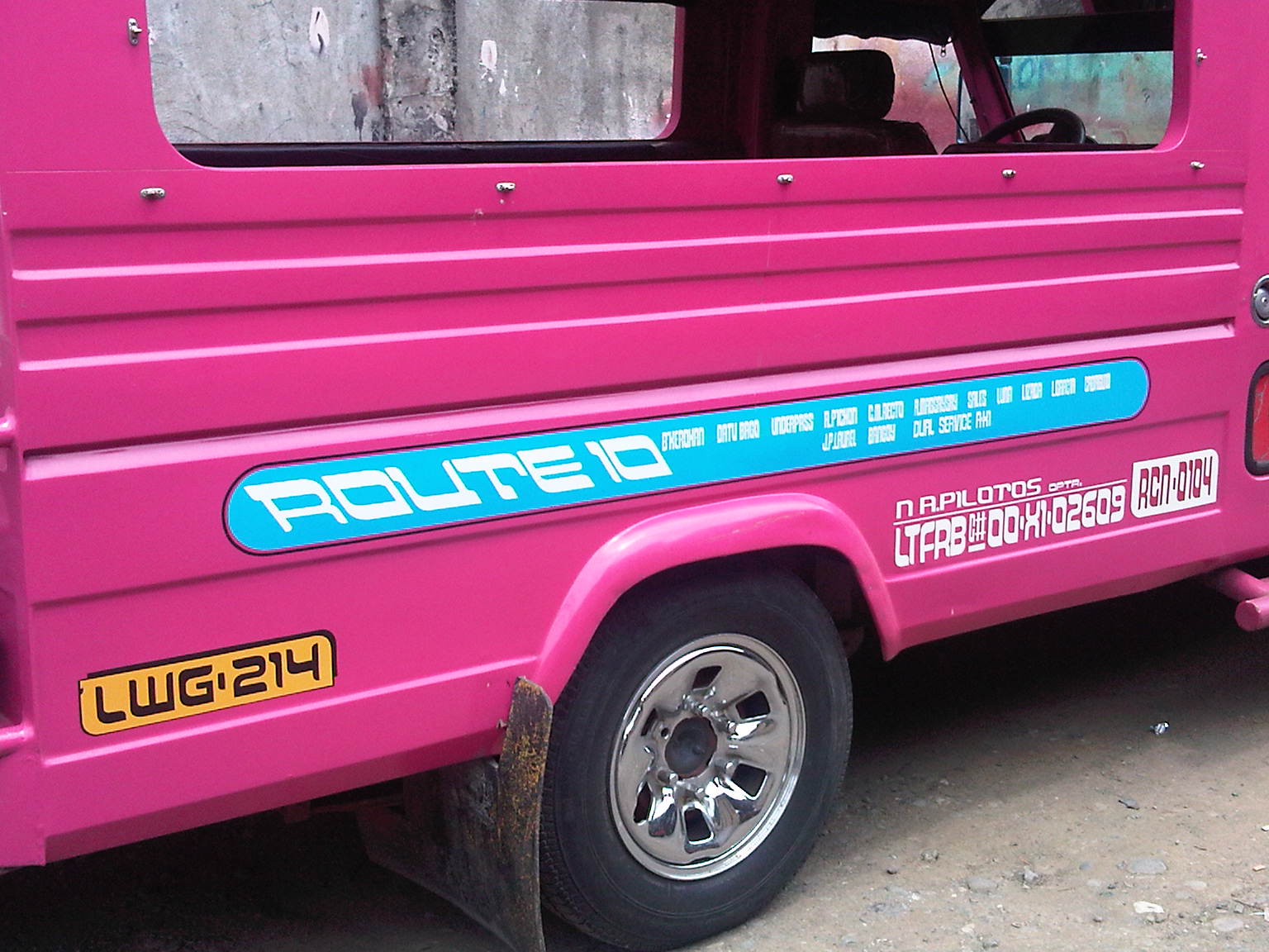 Typical jeepney design in Davao
–
Manila East Road
The Manila East Road is located in the province of Rizal to the east of Metro Manila. The section of the highway featured in this post connects the towns of Taytay and Angono in the province of Rizal while also in the vicinity of Antipolo City, Cainta and Binangonan. References will tell us that the road actually stretches all the way to Laguna where it passes through the towns of Pangil, Pakil and Paete along the east coast of the Laguna de Bay and continues through more towns of Laguna until Calamba.
The following photos were taken one rainy afternoon while we were listening to the radio about senators giving their individual verdicts on the first article of impeachment for the Chief Justice of the Supreme Court of the Philippines. While there are rain drops visible in the photos, these did not obscure the view of the highway allowing us to take good enough shots to illustrate the stretch of the road from Angono to Taytay (junction with Ortigas Avenue Extension (R-5) and just before the ascent to Antipolo). It is supposed to be part of Radial Road 5 or R-5 but other references also point to the continuation of Ortigas Extension through Antipolo and Teresa as also part of R-5. These roads eventually converge in the town of Morong, Rizal.
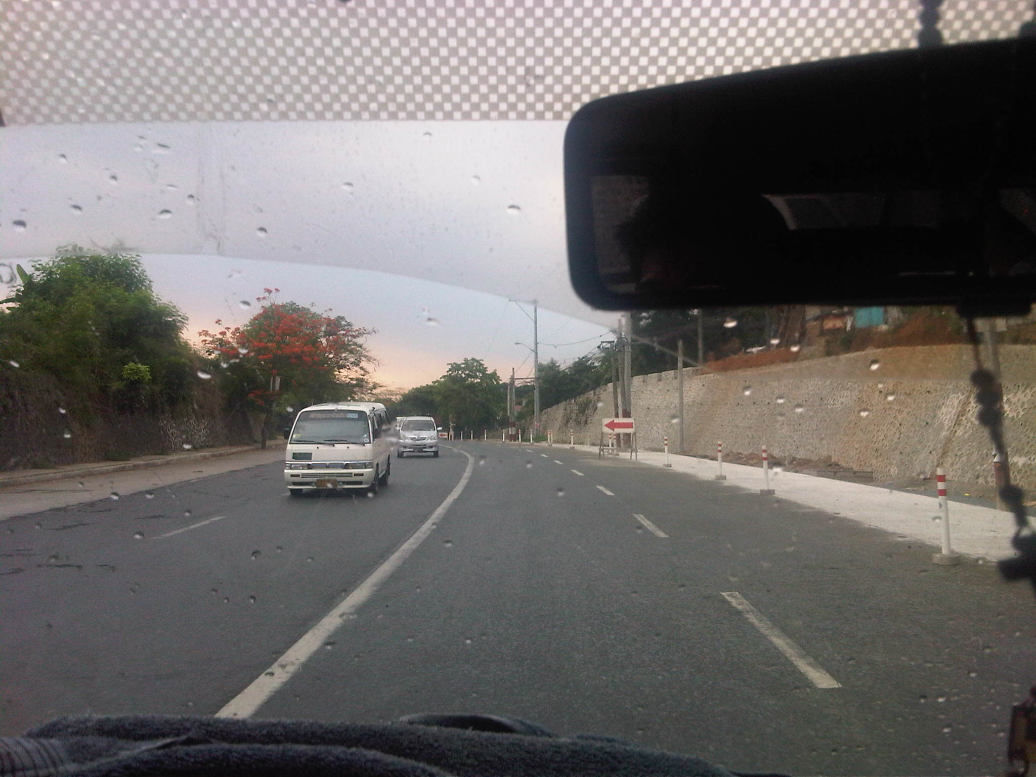 Descending from an exclusive resort where we just had a workshop hosted by a national government agency, we traveled along a section that was a 4-lane undivided road being widened to have 3 lanes per direction. While there’s a sidewalk on one side, the other side did not have pedestrian facilities.
 The section, it turns out, is a continuation of what was already a 6-lane highway as shown above.
 The 6-lane section, however, constricts into 4-lanes near the junction to the original road passing through Angono town proper. Pavement conditions were good but most markings have faded or non-existent.
 Typical of rural highways around the country, there is a proliferation of tricycles traveling along the Manila East Road. These often cause congestion due to their operations including having informal terminals along the highway.
 The lack of pavement markings can be a source of confusion for motorists who are not guided and would have the tendency to encroach into the paths of other vehicles.
 Rather simple sign to mark the boundary between Angono and Taytay. Elsewhere, there would have been an arch designed and put up by one of the towns and reflecting its character or showing off products or attractions.
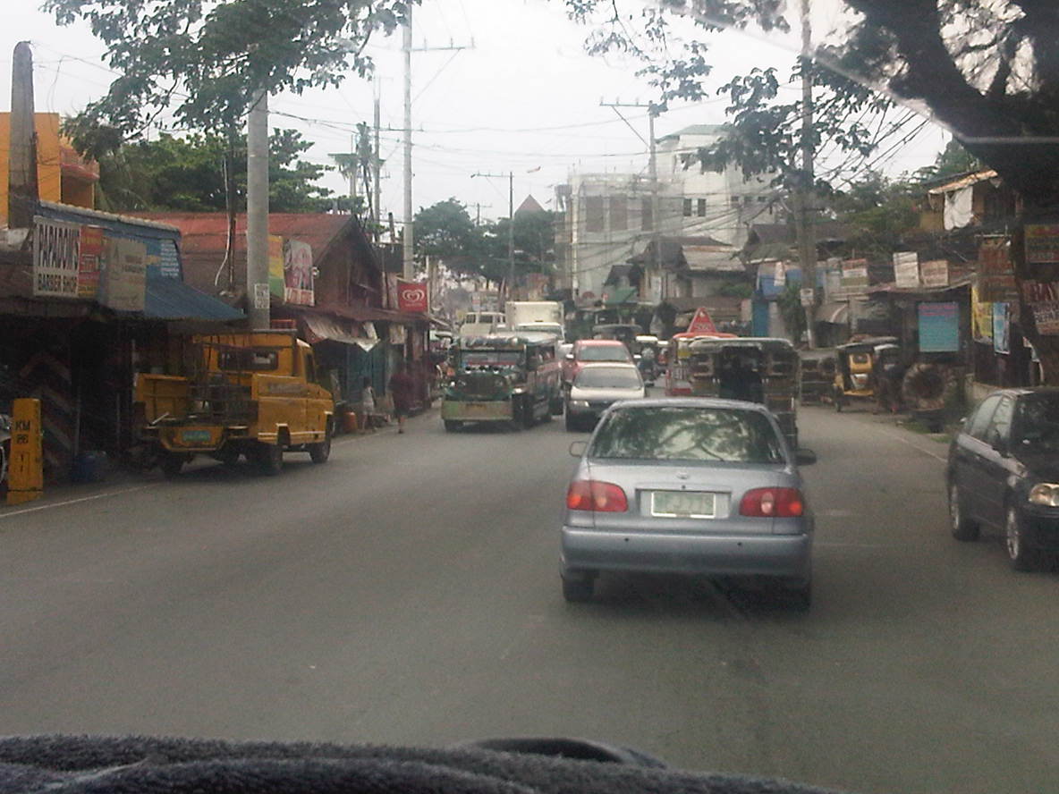 Shanties and other structures of informal settlers line up along this section of the road, effectively constricting traffic. This is supposed to be a 4-lane section (perhaps more if we check the RROW) but roadside friction including the presence of roadside parking and informal structures reduce space to about 3 lanes as shown in the photo.
 Most properties along the stretch of the highway seem unaware of building code provisions for pedestrian sidewalks and clearance in front of the building. These are matters that should have been inspected and ensured by local government.
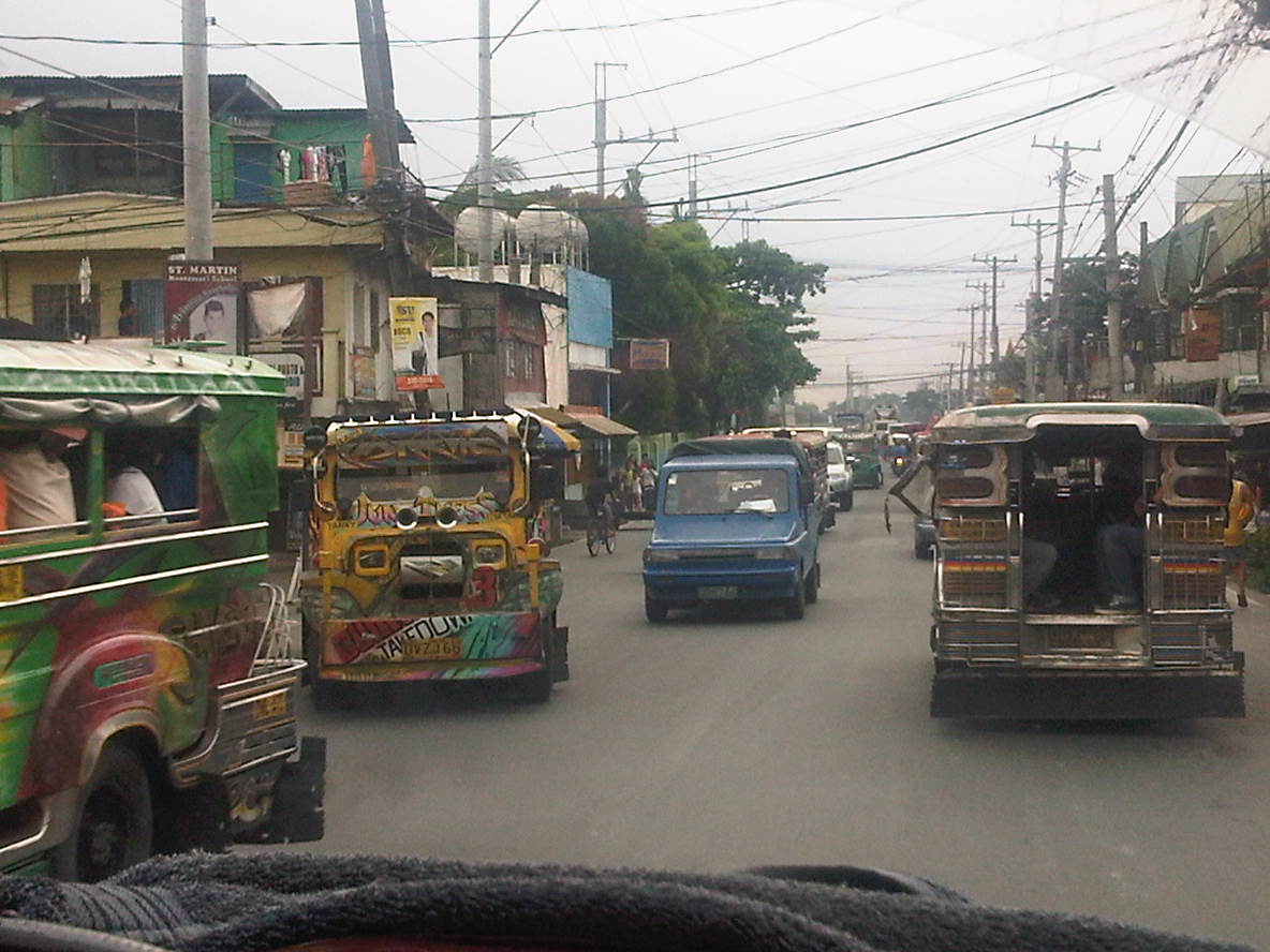 Taytay is one of the more densely populated towns of Rizal and would probably already qualify for cityhood ahead of many other LGUs that became cities in the last few years despite having shaky incomes among other qualifications. Land use planning, however, does not look like something that was undertaken for much of the areas adjacent to the highway.
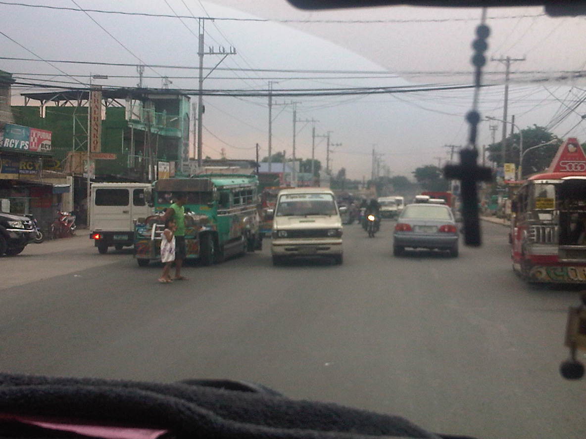 Pedestrians practically cross anywhere along the highway, with most like the man with a child in the photo seemingly uncaring about the risks posed by motor vehicles. In the case above, there are no pedestrian crossing signs or markings but in places where there are such designations people rarely follow the zebra crossings mainly out of ignorance and partly out of stubbornness.
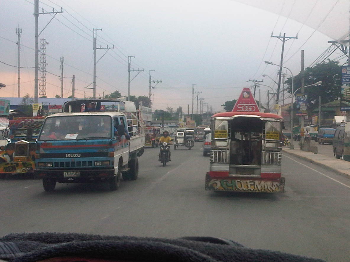 Along one section, the road widens and has along the Ortigas-bound side (right in the photo) a 2-lane service road separate from the main carriageway by a narrow concrete island. The service road is also plagued by parking though its purpose seems to be that for loading and unloading of passengers.
 Electric posts are located dangerously close to the road and would probably fall over if hit by a wayward vehicle. Such is probably the result of road-widening and shortcomings with coordination with the utility company as well as some fault, too, with the utility company as well.
 Another section with excellent pavement conditions but no pavement markings.
 There are short bridges along the highway due to the streams that run across the road from the mountains in the east to the general direction of Laguna De Bay and the Manggahan Floodway to the west. These bridges also tend to limit the width of the carriageway as shown in the photo.
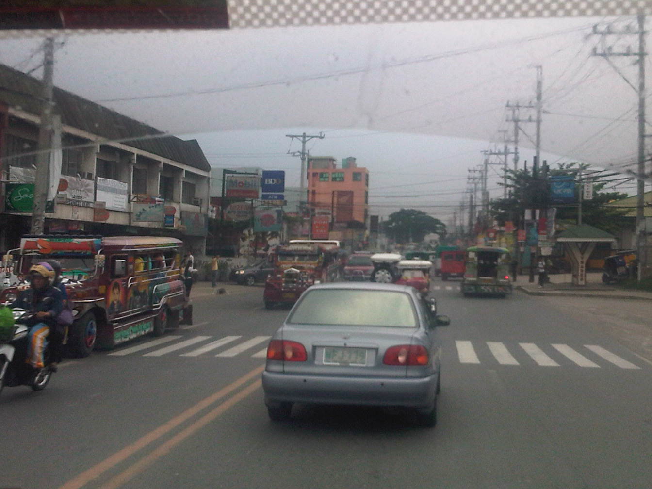 After the bridge, the road widens back to 4 lanes and complete with standard markings. For the entire length of the road from Angono to Taytay there is a trend, based on our observations, that sections alternately widen and narrow based on the developments on either side of the road.
 On-street mayhem is when you mix different kinds of vehicles and pedestrians on the road in the Philippines.
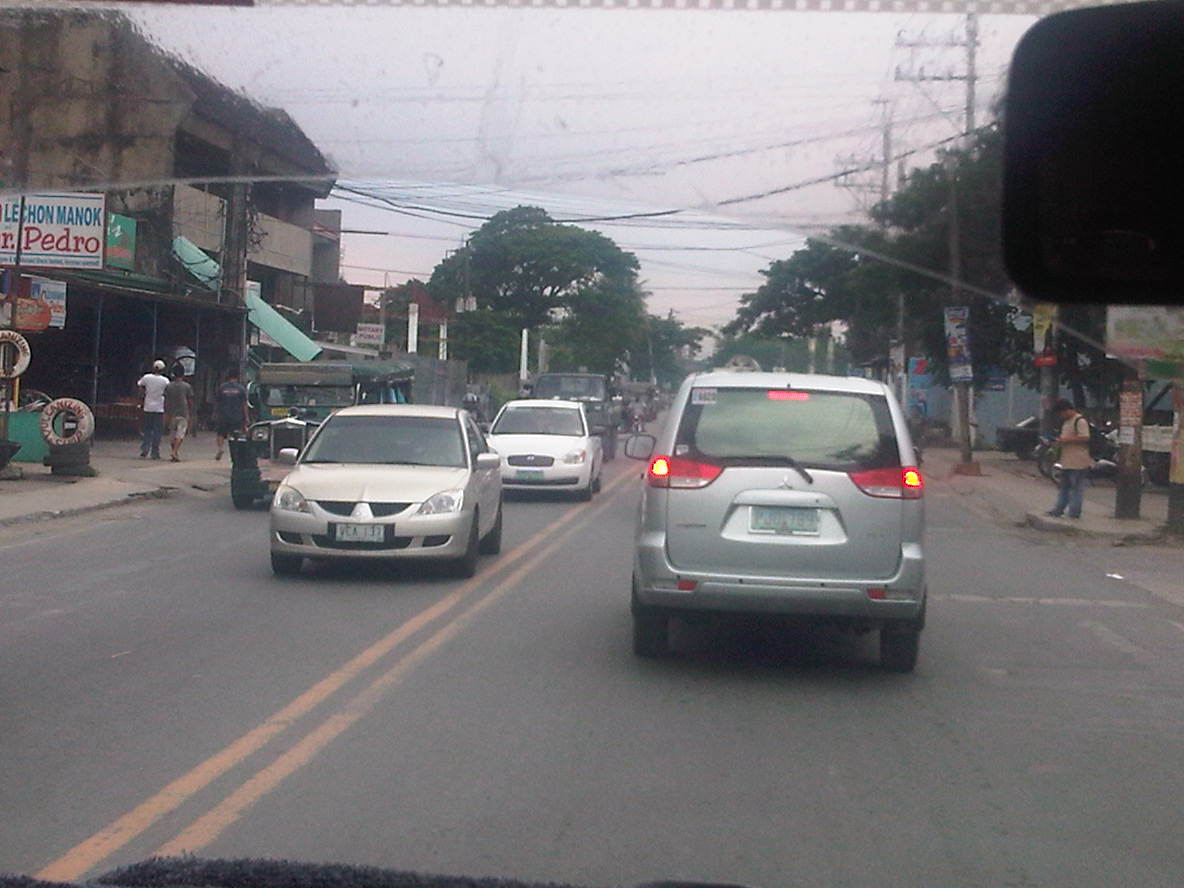 What is supposed to be a 4-lane road seems like a 2-lane carriageway because of some delineations missing and vehicle tending to hog the equivalent of 2 lanes like the vehicle in front of us.
 Junction with A. Bonifacio Ave (from Imelda Ave. and the Cainta Junction). A. Bonifacio passes through the town centers of Cainta and Taytay but is usually a very congested road having a narrow 4-lane carriageway that’s effectively a 2-lane road. The Manila East Road effectively bypasses that road. Notice that after the junction, the road markings are all there.
 Curve right after the junction
 This section has a total of 8 lanes based on the pavement markings but effectively has only 6 as the outermost lanes are often occupied by parked vehicles or used by pedestrians in the absence of sidewalks along either side of the highway.
 Pedestrian bridge between two buildings comprising the SM City Taytay. People have a tendency to cross at street-level so to force them to use the overpass, barriers were placed along the median. The barriers seem to be quite porous and I only wonder if anti-jaywalking policies are enforced in the area.
 An 8-lane stretch of the highway featuring a covered court with the name of a provincial politician stamped on its roof. This section used to have only 4 lanes with some shoulder space on either side of the highway. The DPWH and the local government had a measure of success in recovering land from encroachments and easing informal settlers off from the RROW, something that should probably be undertaken but which requires much more effort along sections shown in the previous photos.
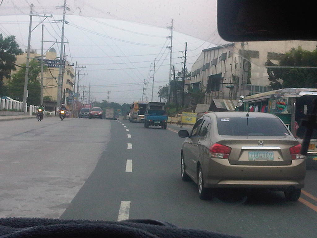 Road widening was still being implemented along the Ortigas-bound side of the highway when we passed through. There was no congestion though since the carriageway was wide enough to carry the light traffic during the early afternoon.
 The 8-lane section narrows to the equivalent of 6 lanes though the pavement markings seem to indicate only 4 lanes as shown in the photo. Already visible in the photo downstream of our position is the Tikling Junction – the intersection of the Manila East Road with Ortigas Avenue.
 Approach to Ortigas Avenue Extension and Leonard Wood Road (which is to the left just before the intersection with Ortigas)
 Junction with Ortigas Avenue Extension
–
Ongoing construction of the AGT at UP Diliman
People have been asking me if what was being constructed at the vacant lot near the College of Fine Arts and visible from the University Avenue and C.P. Garcia Avenue is the test track for the Automated Guideway Transit (AGT) project of the Department of Science and Technology (DOST). I always replied in the affirmative even though I haven’t seen the construction site myself. I finally had an opportunity to visit the site though I could not go directly where people were working due to the ground conditions (it has been raining heavily in Metro Manila the past few days) and the fact that it was an impromptu visit.
The following photos confirm the ongoing construction in the area where steel bars for the columns of the elevated test track are already jutting out of the ground from the foundations. The contractor is MIESCOR, a sister firm of electric utility giant Meralco. The latter, of course, has a history with public rail transport as it operated the electric tranvias in old Manila. Meralco actually stands for Manila Electric Rail and Light Company and so it seems quite fitting rather than just coincidence that it is involved, through MIESCOR, in this project.
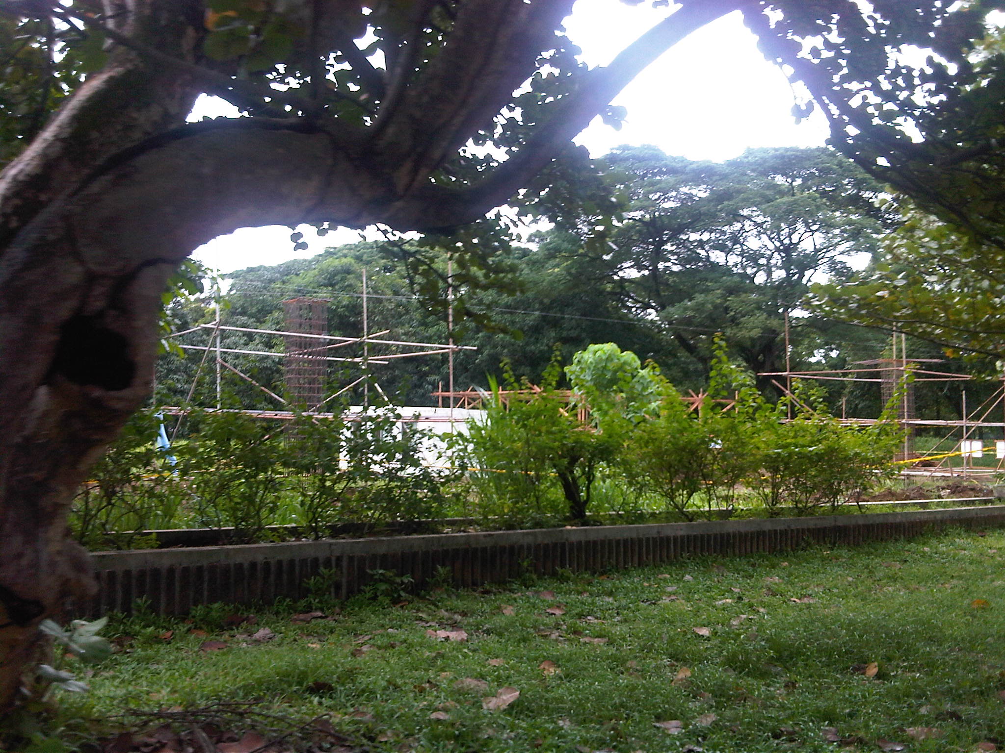
 Project site as seen from Jacinto Street
 Project site as seen from the corner of Jacinto Street and the access road to the UP Veterinary Hospital and the Campus Maintenance Office (CMO).
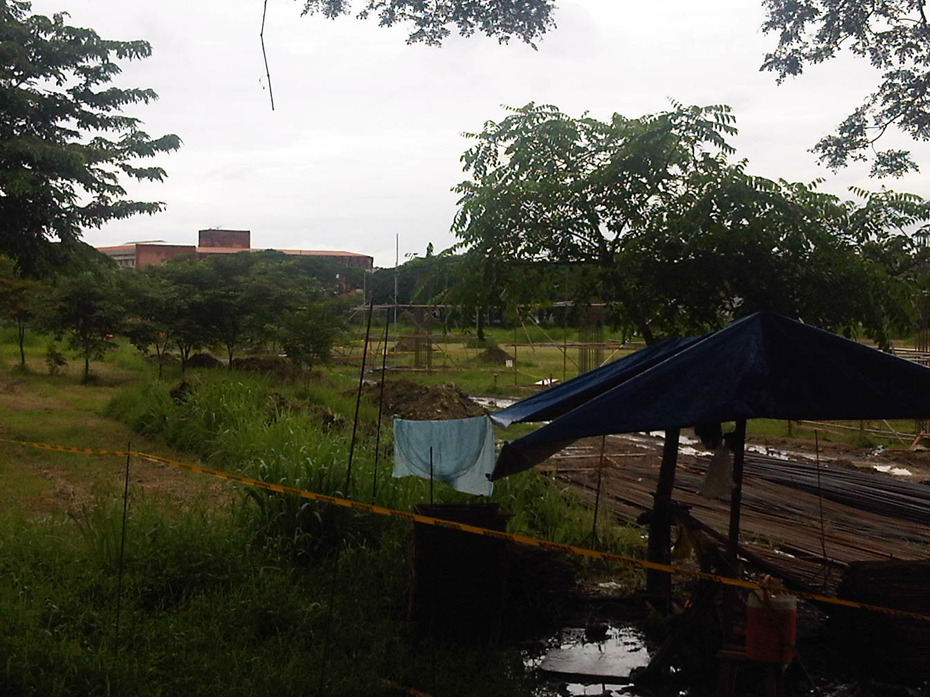
 Columns rising – steel bars forming the reinforcement for the concrete columns of the elevated test track
 Construction materials piled up at the site – the expanse of the area where the test track is being built can be appreciated in the photo. That’s the rooftop of the CHED building in the background in the upper left side of the photo.
 I tried to get a photo where the other columns are visible
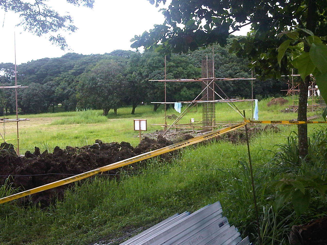 A view of the excavations and the line of columns leading to the track end near Jacinto Street
 The closest shot I could get of a column under construction
The structure should gain form in the next few weeks when work on the columns are completed and the girders forming the tracks are laid out. Perhaps the power room for the test track will also be constructed in preparation for the power system installation along the track.
–
Philippine railway plans in 1903
I was browsing the book by Arturo Corpuz (The Colonial Iron Horse: Railroads and Regional Development in the Philippines 1875-1935, U.P. Press, 1999) and remembered there was a figure there that illustrated what looked like an ultimate plan for railways north of Manila. The map, shown below, indicated that what was the Main Line North (MLN) was already planned to be extended all the way to Laoag in Ilocos Norte from the existing station in Dagupan, Pangasinan.
 PNR expansion plans in 1903
The map also shows proposed and alternate plans for a branch of the railways run along the Cagayan Valley and all the way to Aparri, Cagayan. The map along with others from that period reinforce what I have termed as probably one of the biggest “what ifs?” in Philippine transport. If such plans were implemented and we had retained and even upgraded these lines, perhaps inter-provincial or inter-regional passenger and freight flow in Luzon could have been significantly different from what we currently have that is dominated by road transport. A fully developed MLN and MLS could have been game changers in the development of Luzon and the country in general. Long distance travel for both people and goods may not have been dependent on road-based vehicles, and perhaps could have been more affordable for many people before the emergence of air transport and the present’s budget airlines. In fact, a fully developed railway system could give budget airlines and bus companies a run for their money today and perhaps influence tourist transport as well.
–
AGT at UP Diliman: some clarifications
There have been too many articles hyping a proposed transport system at UP Diliman. What seems like a DOST media blitz started with an article posted by Malaya Business Insight online that announced a project developing what was allegedly a train that’s the first of its kind in the world:
- FIRST OF ITS KIND IN THE WORLD; Trains to run on rubber tires [Malaya, June 18, 2012]
The article was inaccurate in many ways including the fact that there are already many such vehicles operating in public transport systems around the world including our ASEAN neighbors. Articulated buses can be seen regularly along the streets of Singapore and there are Bus Rapid Transit (BRT) lines in Jakarta and Bangkok. There are others in South America, most notably in Curitiba and Bogota. In fact, Cebu City is on the way to realizing the first BRT system in the Philippines with an FS already underway (Note: one can search the internet on articles and official statements on this project). Rubber-tired trains are not new, there are even automated or driver-less systems that have been operating in Japan, Europe and North America for quite some time now. Those who have been to Tokyo probably have ridden the Yurikamome. Among these are the following:
- DOST automated rail transport is back on track [People’s Television, June 19, 2012]
- Automated Transport System To Be Tested At Diliman Campus–DoST [Manila Bulletin, June 20, 2012]
- UP monorail project still on track-DoST [Philippine Daily Inquirer, June 21, 2012]
First things first. The prototype vehicle to be developed and tested will be an AGT and NOT a monorail. These two were proposed and discussions among DOST and UPD led to the decision to develop an AGT rather than a monorail. To support the project, a test track had initially been built on the DOST grounds as a “proof of concept” exercise. The “success” of the exercise apparently led to the decision to move forward and pursue full scale development and testing of a system. Thus, after several discussions with the UP System and UP Diliman a test track will be constructed in UP Diliman.
The test track will not be a fully functional system for commuting although the location will be conspicuous enough for those interested in the project. The alignment was also decided based on the potential for a full system to be built should it be found to be feasible. By feasibility, this meant that the environmental and financial impacts of such a system for the campus will have to be evaluated. In fact, one of the biggest questions that has still to be answered is who will pay for such a full system and whether it can sustain itself given the limited ridership in the area coupled with the limited supply the system can provide.
The test track will be constructed at the lot bounded by the University Ave in the north, C.P. Garcia Ave. in the west, Jacinto St. in the east, and the UP College of Fine Arts (CFA) and Campus Maintenance Office (CMO) in the south. This location is shown below:
 Map showing test track location and layout.
One idea already put forward before was the possibility of a full system being constructed along C.P. Garcia Ave., effectively connecting Commonwealth Ave. (at Philcoa) and Katipunan Ave. (near the National Institute of Physics). Such a system might be viable but it has to be two-way and with a fleet of vehicles to support the demand along the corridor. Perhaps stations along this line may be located at Philcoa, National Computer Center (between CHED and Phivolcs), the old Stud Farm, College of Engineering Complex (near the junction to the Hardin ng Rosas residential areas), and NIP (perhaps across it at the lot near the technology incubator?).
–
Montalban Highway
The Montalban Highway is located between the junction with J.P. Rizal Avenue in Rodriguez, Rizal (formerly known as the town of Montalban) and the junction with Payatas Road in Quezon City, Metro Manila. It serves as part of an alternate but somewhat longer (distance-wise) route between Metro Manila (via QC) and the northern towns (San Mateo and Rodriguez) of Rizal Province. The other route is through the Batasan-San Mateo Road, which also has a bridge crossing the Marikina River. While it is longer, it is often the less congested road and may perhaps offer faster travel (shorter travel times) between QC and San Mateo or Rodriguez. It is definitely the faster route to Montalban since travelers won’t have to pass through the town proper of San Mateo, which can get congested due to the local traffic and narrow roads.
 Turning right from J.P. Rizal and unto the QC-bound side of Montalban Highway
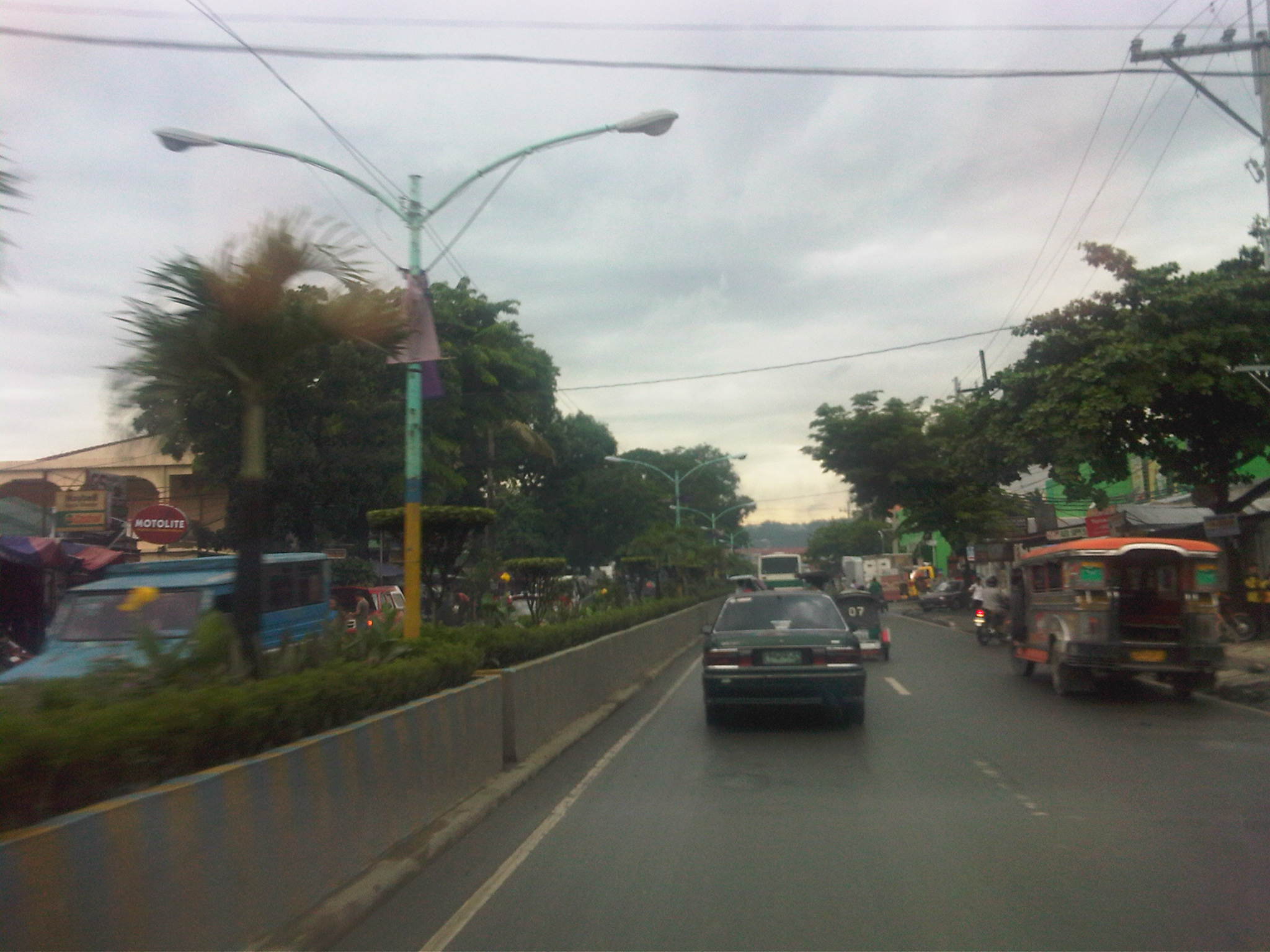 The road is a 4-lane/2-way highway with a median island with a plant box separating opposing traffic.
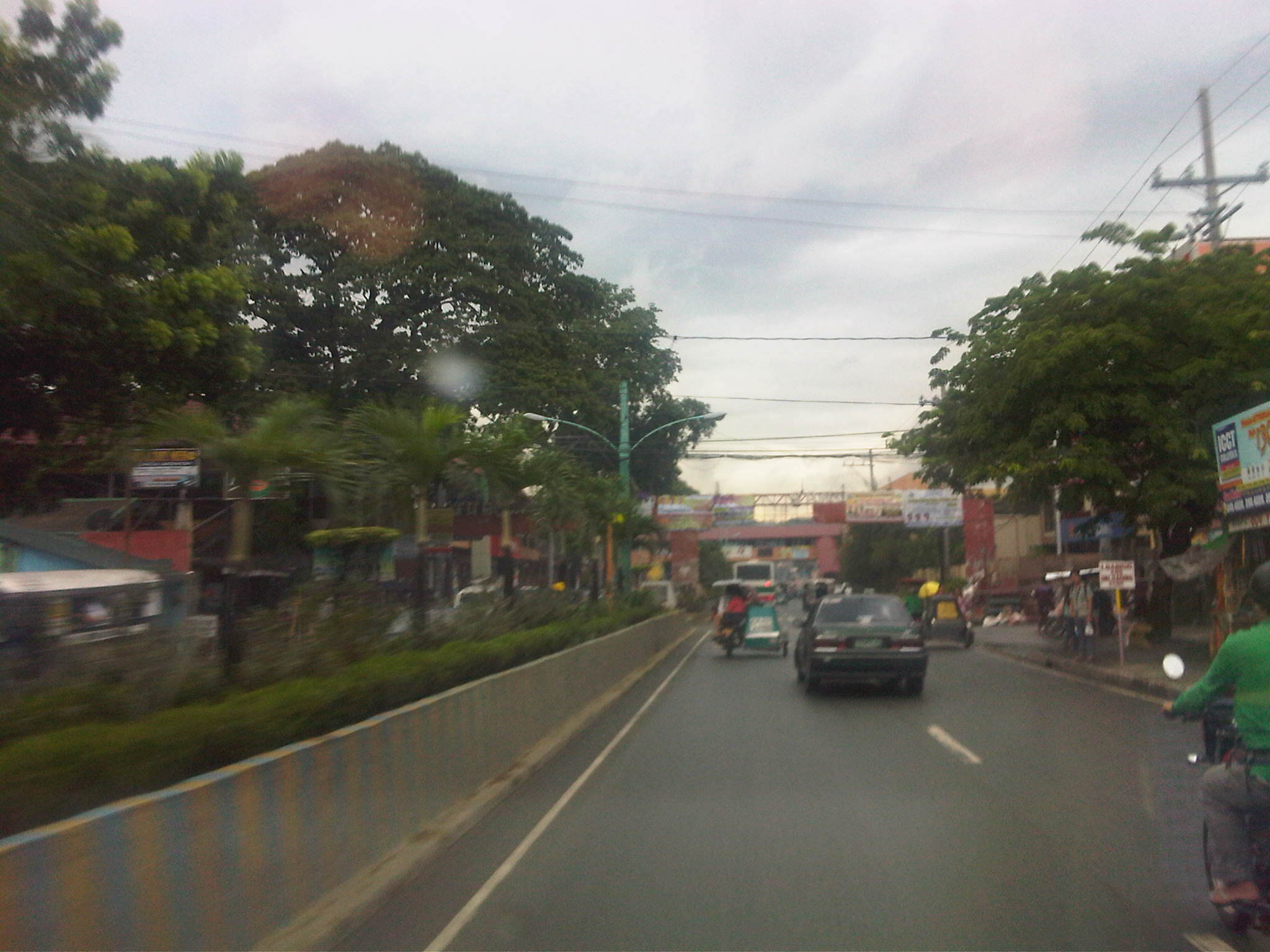 Traffic is a mix of cars, tricycles, jeepneys, buses, even bicycles and pedicabs.
 Along the highway is the Montalban Town Center, which has buildings on either side of the road midway through the highway. The buildings are connected by a covered elevated walkway.
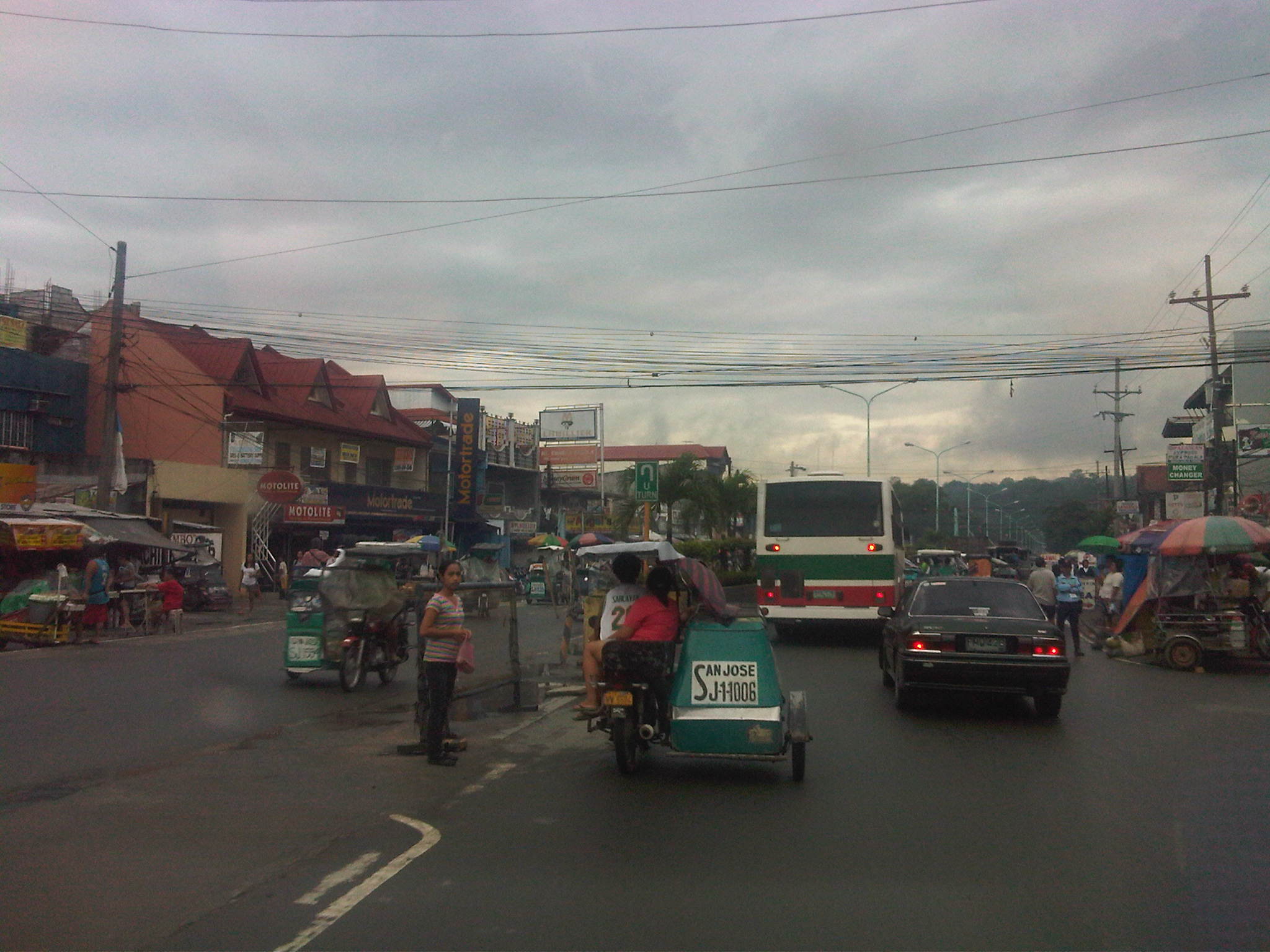 Past the town center is the Montalban Public Market and the area reminds of what Kalayaan Avenue in Makati City looked like before it was widened.
 We couldn’t understand exactly what the tagline “committed to change with honor” really meant, especially when it’s placed together with the sign for the market.
 Tricycles easily clog up the highway with many trying to get passengers by slowly traveling along the curbside.
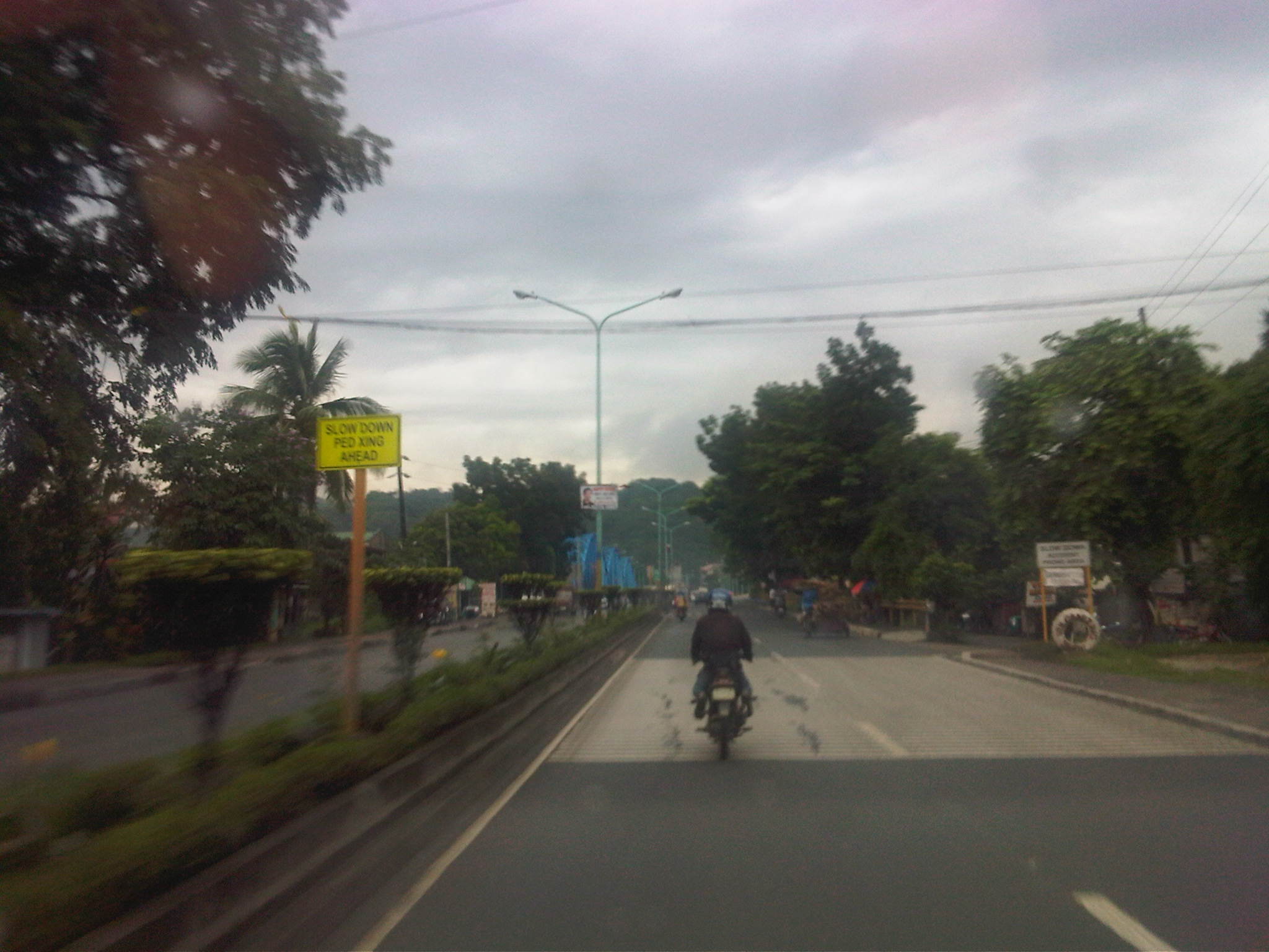 Past the commercial/market areas, traffic is free-flowing.
 Approach to the San Jose Bridge crossing the Marikina River
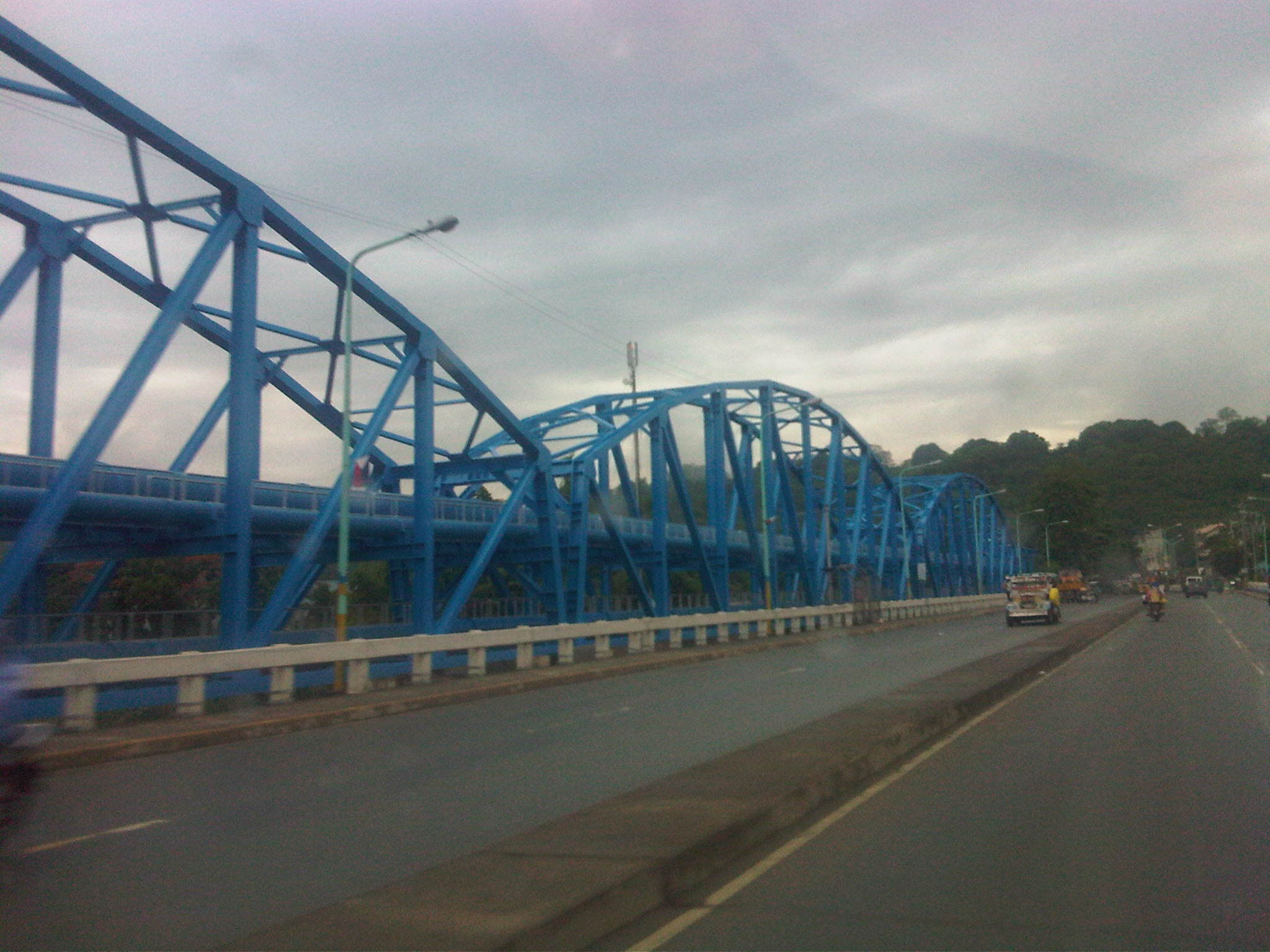 There’s a steel structure alongside the bridge that carries water pipes. From distance, the structure together with the bridge makes it look like the San Jose Bridge is a steel structure.
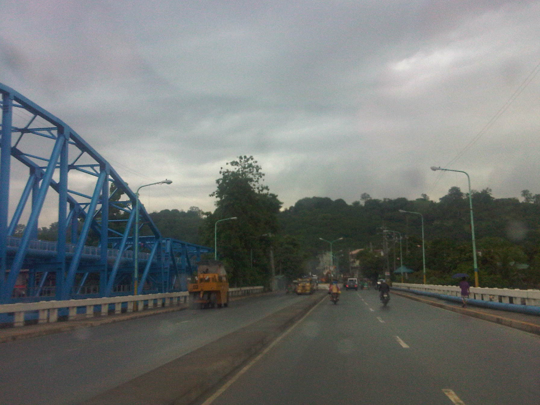 What looks like a hill at the end of the highway is actually part of the La Mesa Dam reservoir and watershed.
 After crossing the bridge, traffic is still light but vehicles generally slow down as they approach the end of the highway where there is a junction.
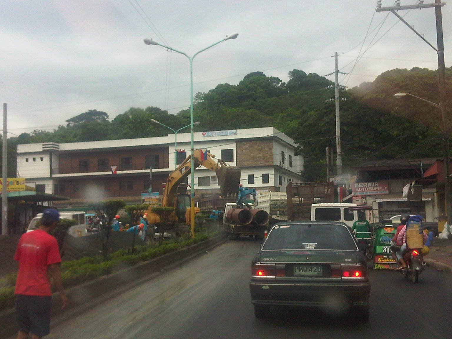 It turned out that vehicles were also slowing down due to major waterworks being conducted at the intersection of Montalban Highway and Payatas Road.
 A closer look at the pipes being laid out in the area when we passed by this June.
–
The electric bus and other thoughts on bus operations in Manila
An electric bus was on display at the 2nd Electric Vehicle Summit recently held at the Meralco Multi-purpose Hall. The exterior reminded me of the buses I rode in Yokohama and Saitama during my stints as a student and later as a visiting researcher. Following are a few photos I took of the exterior and interior of the bus. Most of the following notes are comments applicable to city buses operating in the Philippines rather than specifically for electric buses.
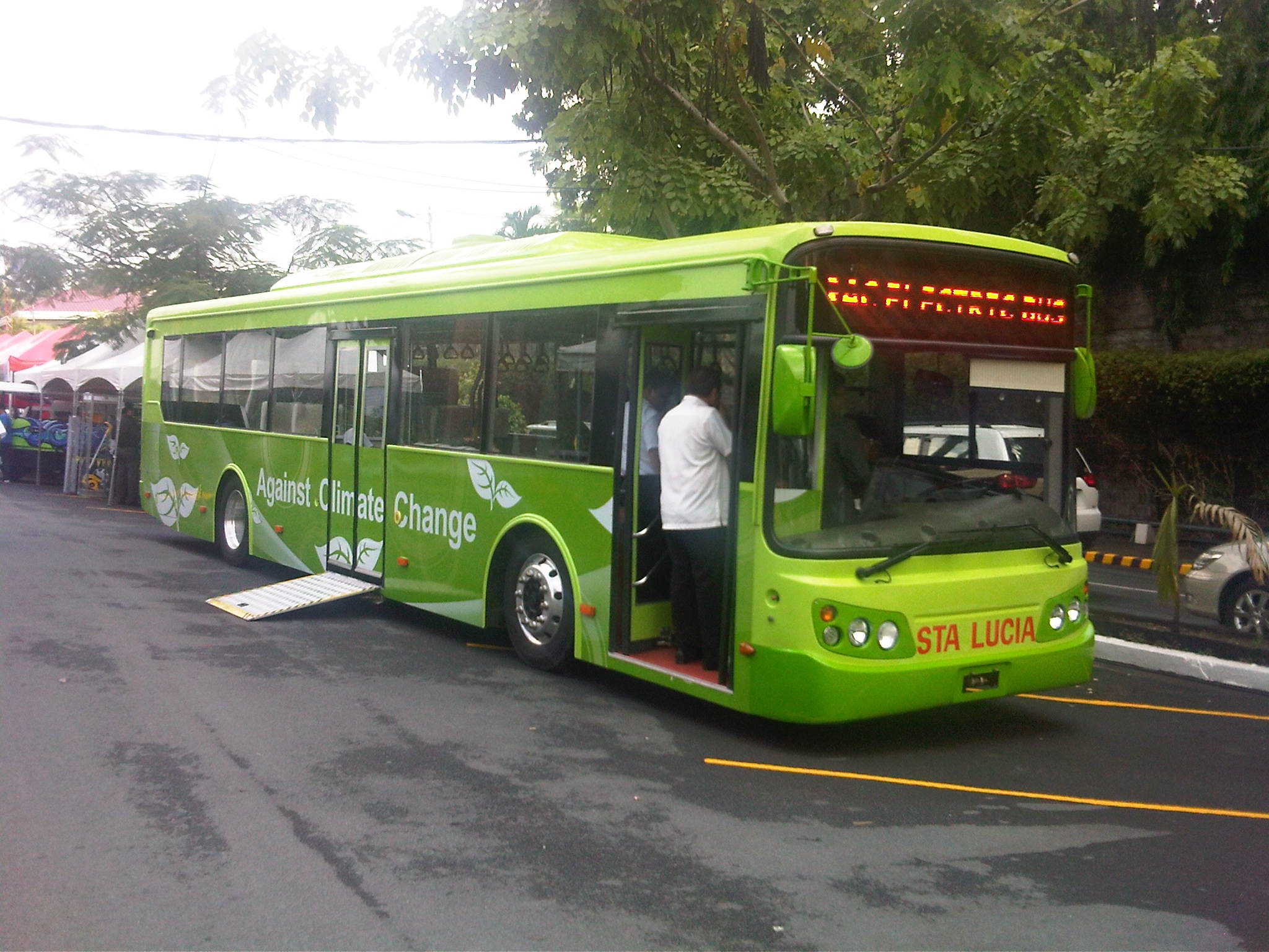 This electric bus was imported from Taiwan by the Victory Liner Inc.., which is among the largest provincial bus operators in the Philippines. The first thing I noticed is that the bus has a low floor, perhaps the same height as most curbs, but this can be a concern considering many of Metro Manila’s streets are subject to flash floods during the wet season.
 The interior and layout is perhaps the most appropriate for buses with city operations. There is sufficient standing space from the front to the middle of the bus. Seats here are usually for the elderly or physically challenged and includes space for a wheelchair. Most city buses in Metro Manila have layouts that are suitable for long distance trips, with many seats and often narrow corridors.
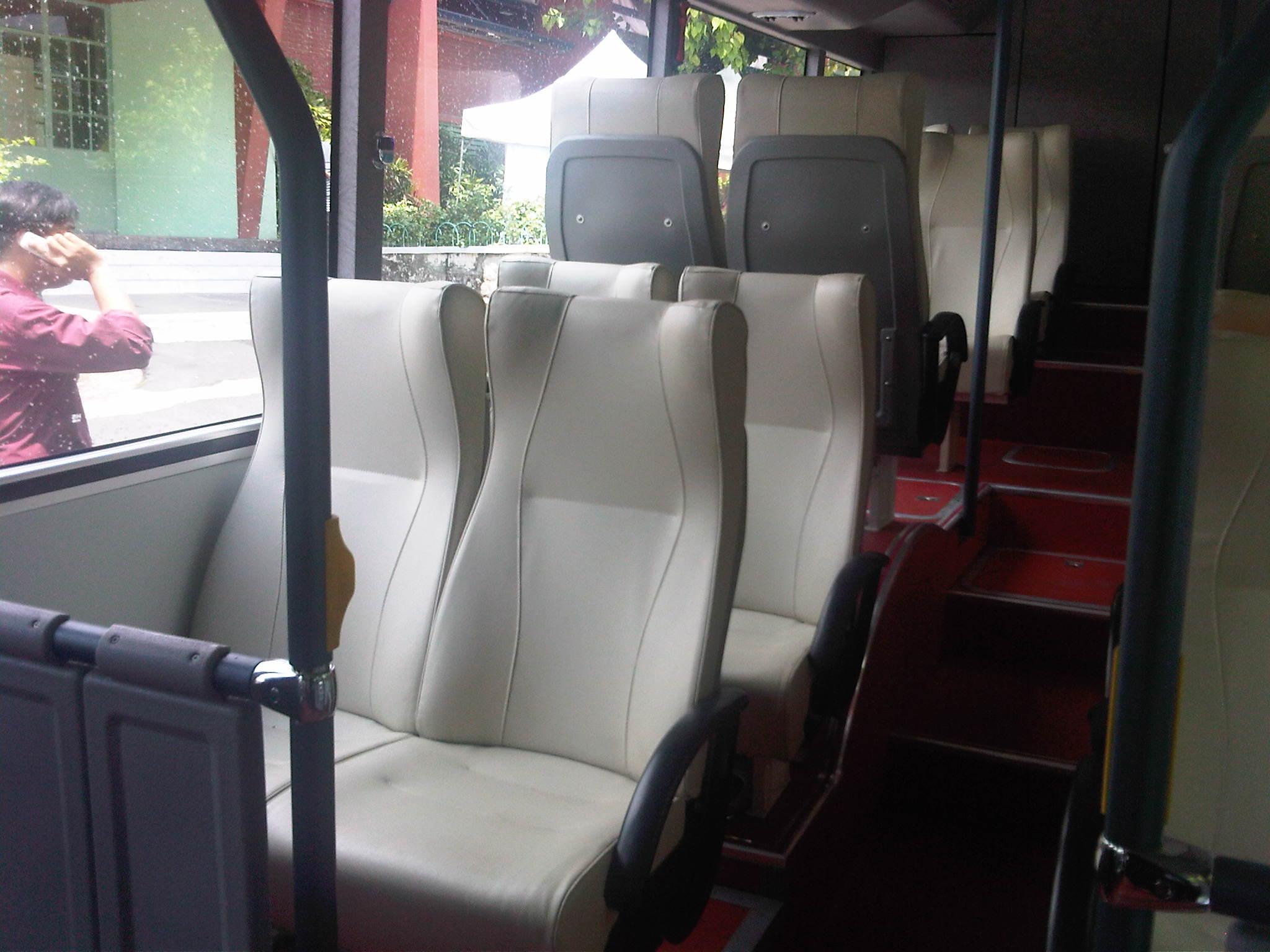 The seats at the back look very inviting and I assume are comfy for long rides not because of distances but congestion. Obviously, these seats and especially those at the back, which require passengers to negotiate a few steps are free for all though those in the lower level may be reserved for the elderly, physically-challenged or pregnant women.
 A look at the driver’s seat with the emblem of the manufacturer, RAC, on the steering wheel. I saw an article on the electric bus stating its specs (top speed of 95 kph and range of 270 km on a single charge). I’m really not worried about the specs given the advances in technology these days. I think it will still boil down to driver behavior when it comes to the question of road safety and the provision of efficient services for the public.
 Unlike most city buses in the Philippines, this bus has 2 doors. The one at the front may be used for entrance and there’s space for transactions, i.e., payment of fares, showing passes or swiping of cards. The one at the back is wider for more efficient unloading of passengers. There is also a provision for a ramp that can be used by persons on wheelchairs.
The potential benefits derived from electric buses are quite obvious from the environmental perspective. I like its chances for success considering that the initiative is being pushed by a major company like Victory, which might have to show the way by being an example and be the first to deploy these buses on an actual route. Victory’s business, however, is in provincial operations so there should be at least one taker from among the companies operating in Metro Manila to use these buses on a route.
For demonstration purposes, I think Bonifacio Global City with its Fort Bus service can provide a good route for a start. The Fort is ideal for such electric buses given the current demand and route length. Charging stations may also be provided at the route ends, particularly at the Market! Market! transport terminal. Another option might be Katipunan, with electric buses allowed to enter the Ateneo campus and perhaps help alleviate traffic congestion there by encouraging their students and staff to use public transport. One end may be at the UP Diliman campus where the buses may also be allowed to enter the campus but perhaps take a route that won’t necessarily compete with jeepneys on campus (e.g., Academic Oval). Deciding the other end of the route would be a bit tricky but one option can be near SM Marikina where a secure terminal can be established and sufficient space for “park and ride” or “kiss and ride” operations. These might just be success stories in public transport waiting to happen.
–
Electric vehicle revolution in the Philippines
It started with the deployment of the first electric jeepneys and tricycles about 5 years ago. Today, electric vehicles are the rage in the Philippines with public transport being the main application of the e-vehicles. Makati already has 3 operational e-jeepney routes including the first e-vehicles to be registered and the first franchise for public transport. E-trikes have been operating in Bonifacio Global City in Taguig as well as in limited numbers in Puerto Princesa, Surigao and Boracay. During the 2nd Electric Vehicle Summit held last May 24-25, 2012 at the Meralco grounds, models of various electric vehicles for private and public transport use were on display for people to inspect and appreciate. These included cars, motorcycles, tricycles, jeepneys and a bus. Special mention goes to the Segway booth and its clone, which featured more personalized modes that are not really in the same category as most of the e-vehicles on display.
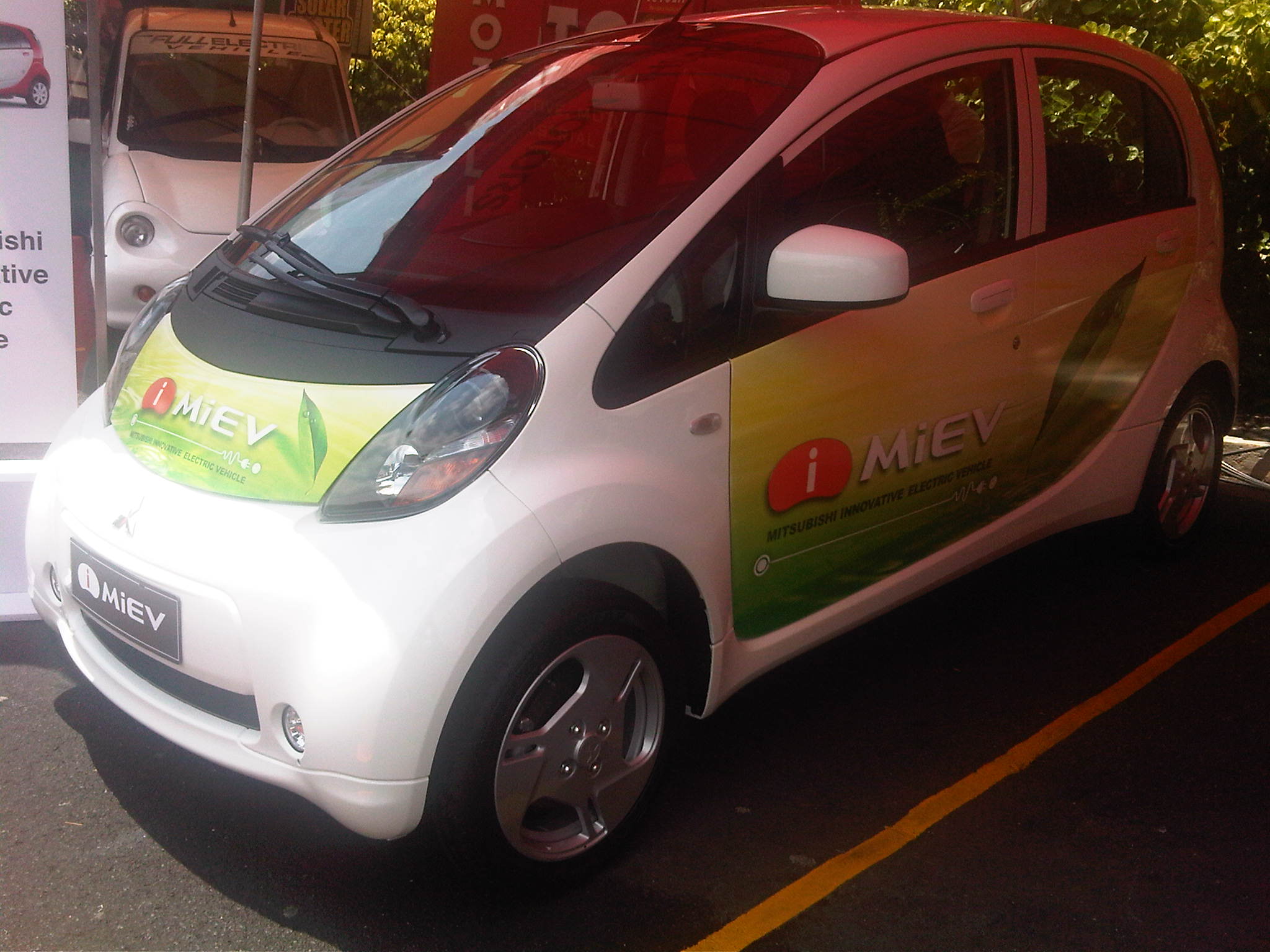 Mitsubishi’s entry in the local market is via the MiEV, a unit of which was donated to the Department of Energy (DOE)
 The REVAi is a small car produced by an Indian company. The logo on the car is of the leading battery company in the country.
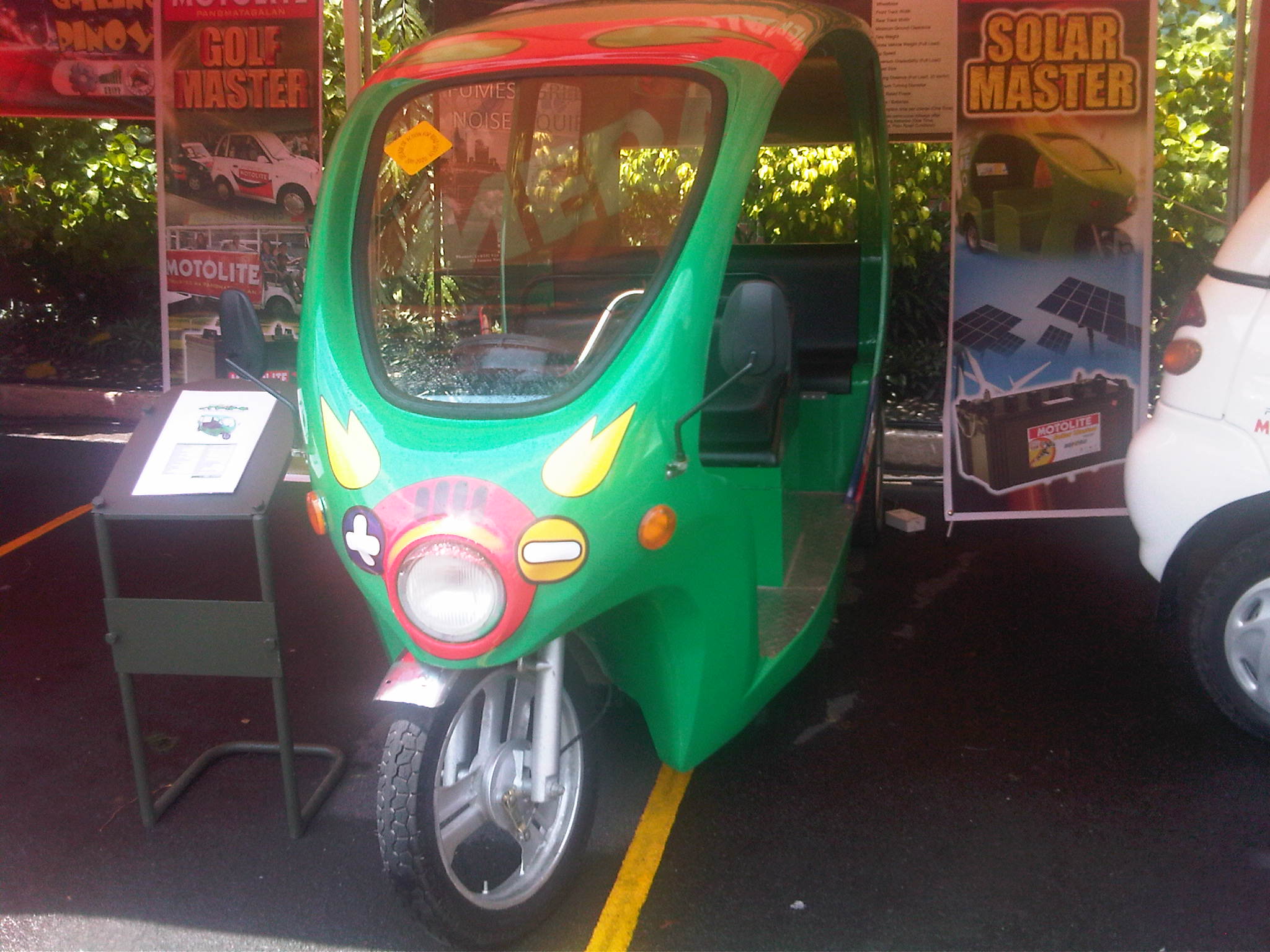 A locally assembled electric tricycle that is now popular in tourist areas like resorts.
 The 4-wheeled e-vehicle dubbed as the E-quad that is locally assembled.
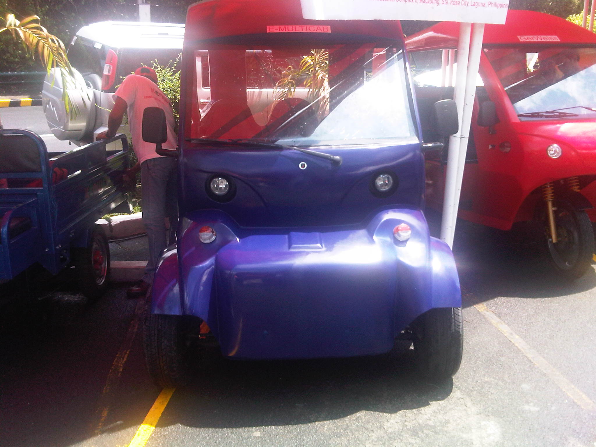 Variants of 3- and 4-wheeled e-vehicles including one (visible on the left) that is designed as a pick-up or delivery vehicle. All are made by local companies.
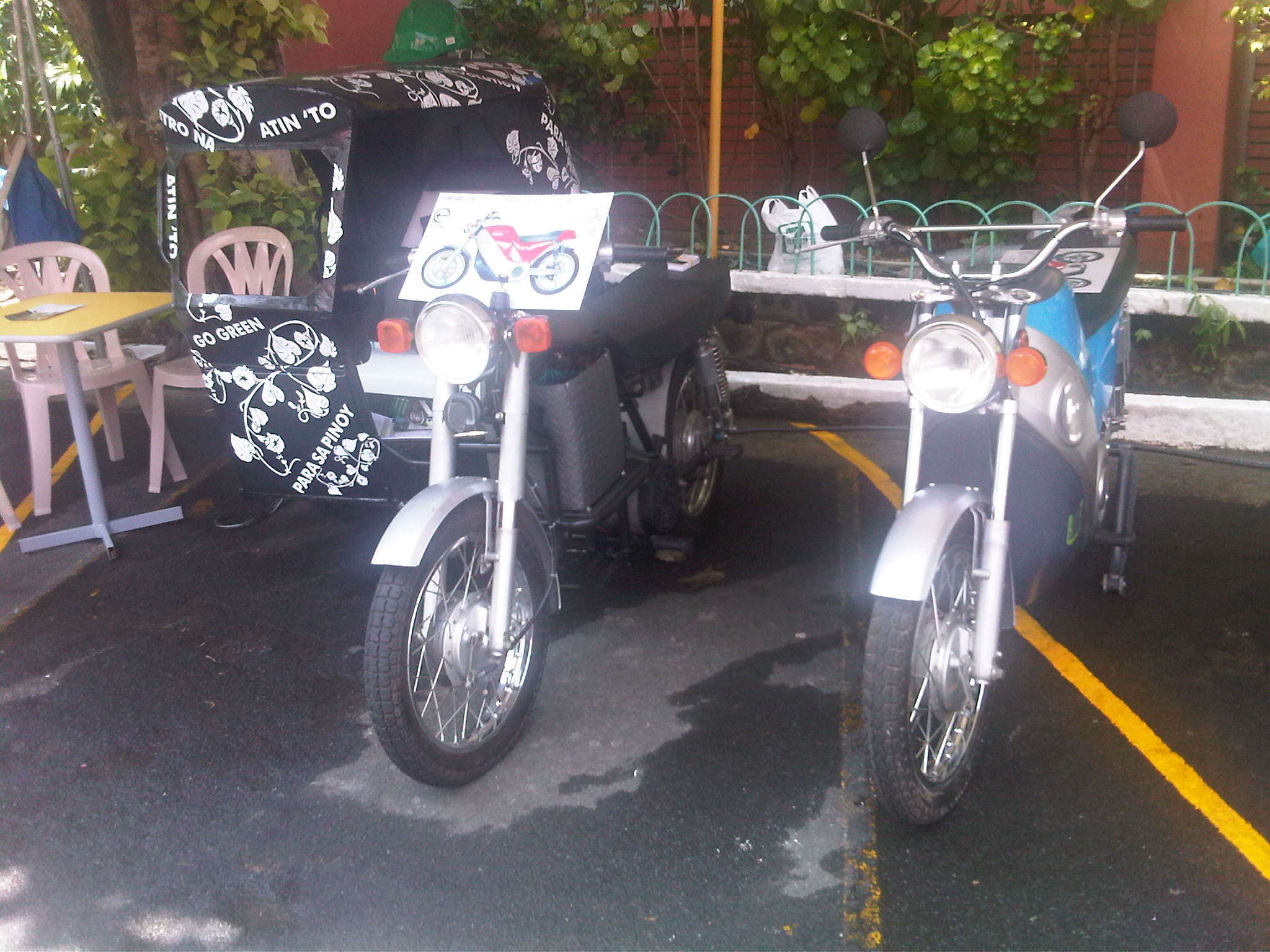 Electric motorcycles with one having a sidecar, which is the same form of the traditional tricycles that are the dominant public transport mode in local roads, many small cities and rural areas in the country.
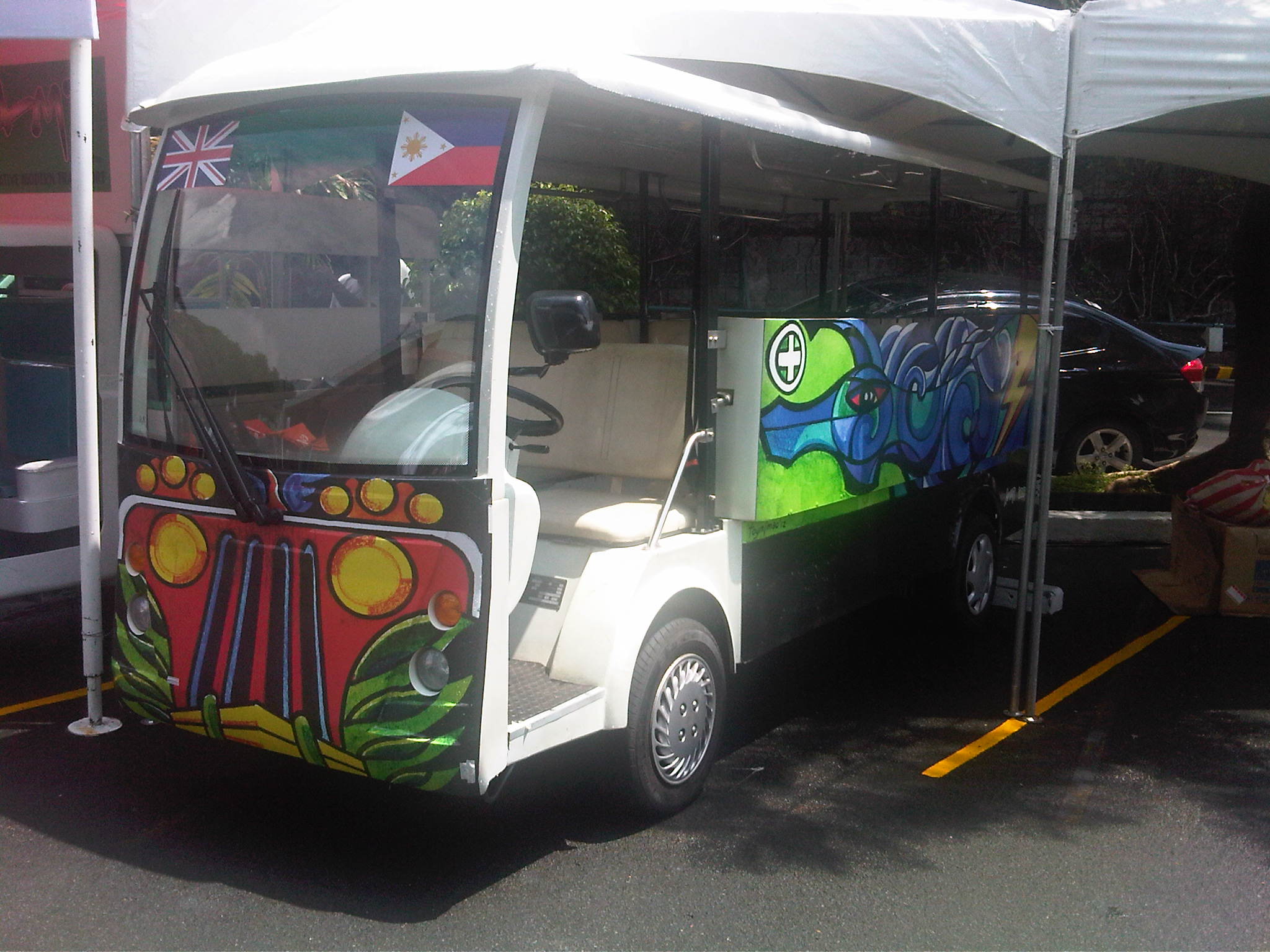 The electric jeepney that is also locally assembled with the motor and controller the only major components that are imported. I think this model is the latest one and has a more powerful motor that allows the vehicle to negotiate steeper slopes. Other models are currently operating in Makati City (CBD) and as shuttles in shopping mall complexes and industrial areas.
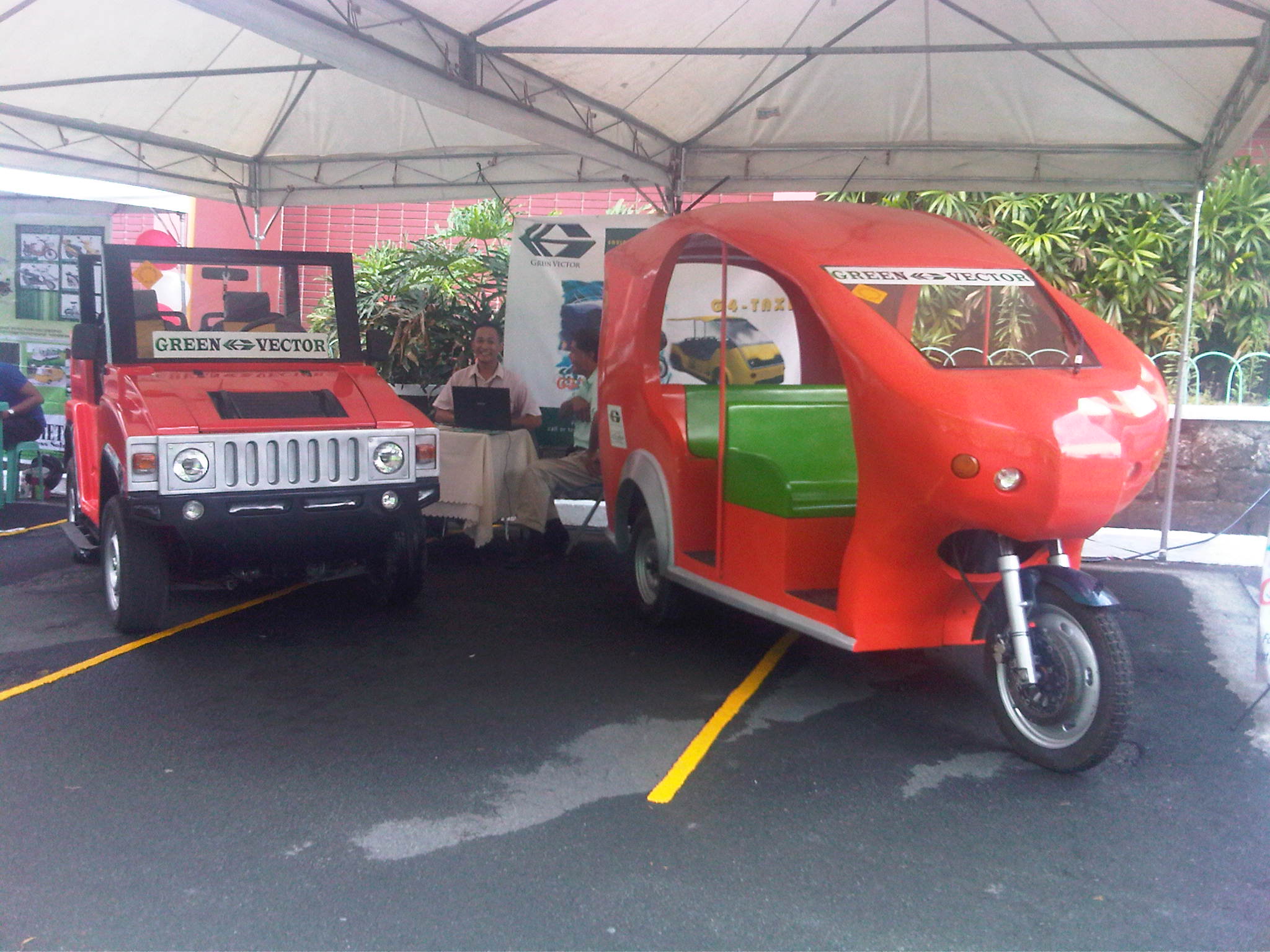 Another e-trike with form similar to the Thai tuktuks and another, a 4-wheeler, made to look like the popular Hummer vehicles.
 Electric scooters on display outside the summit venue
 The electric bus imported by a company affiliated with Victory Liner, one of the largest provincial bus companies in the Philippines was a popular attraction during the summit.
There are still many issues pertaining to the deployment or operations of e-vehicles in the Philippines. Among the more important ones involve costs and the need for infrastructure such as charging stations to support e-vehicles. Unlike the experiences in other countries, especially in Europe, the e-vehicle initiatives in the Philippines are mainly for public transport rather than for private use. In fact, the DOE’s E-trike project together with the ADB looks to the deployment of 100,000 e-trikes to replace traditional tricycles around the country. This seems to be a small initiative considering Metro Manila alone has about 250,000 legally operating tricycles (there are quite many illegally operating units) and an estimated more than 1.5 million legal units around the country. But such initiatives if carried out and evaluated scientifically, systematically and objectively will surely go a long way to addressing transport problems in this country. The Makati e-jeepneys already provide a good model for replication elsewhere and soon, more studies will be underway to evaluate such vehicles in comparison with the traditional jeepneys and the emerging Auto-LPG variant. With an impending law that will provide incentives for electric, hybrid and other alternative-powered vehicles, e-vehicles will be here to stay and perhaps effect a transformation of Philippine transport.
–
 Caught (up) in traffic