
Home » Transport Planning (Page 31)
Category Archives: Transport Planning
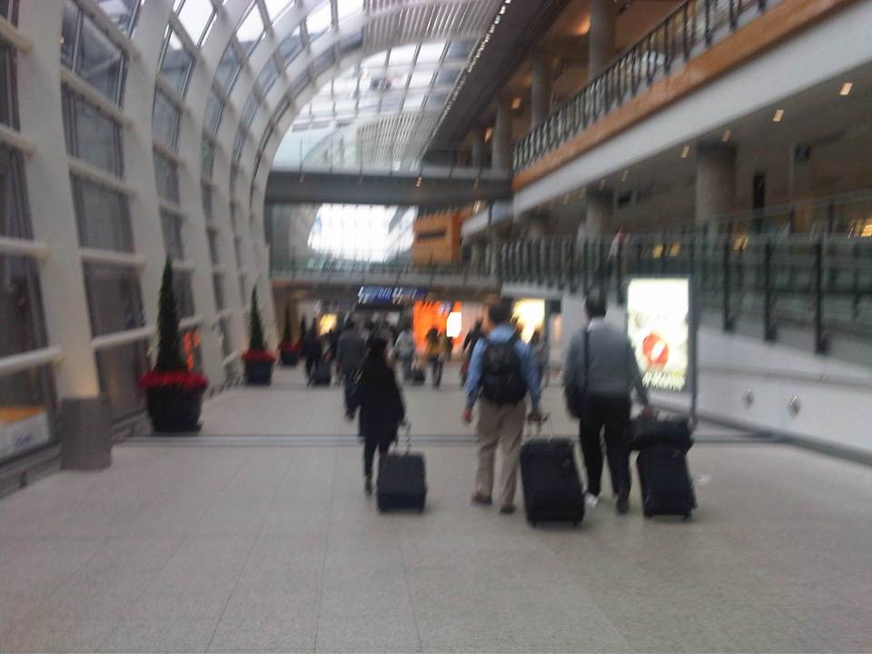
The commute to the airport
Traveling from our home in Antipolo to the airport in Clark, I decided to take the MRT to the Quezon City Air Terminal (QCAT) from where I would be taking the Clark Airport Rail Express (CARE) to the sparkling new terminal at what is a fast growing aerotropolis north of Metro Manila. It was an easy commute from the station near my home and a convenient one considering the e-Pasahe integrated commute card that I could also use for the C5 subway line or the Quezon Avenue BRT. Soon, all the jeepneys and buses would be accepting the card for fares. 100% of taxis were already accepting the card for payments and the electric tricycles were surprisingly ahead with 90% accepting the e-Pasahe card. I made sure my card was topped up when I left the university yesterday so I could also use it to buy a drink or a meal while at the airport. The convenience of the card reminded me of the Suica and Pasmo cards I used while traveling in Japan.
Upon arriving at the QCAT, I proceeded to the check-in counters to drop-off my luggage. I had already checked-in online so I just had to leave my bag at the express lane. I was already excited about the direct trip to New York, on board Cebu Pacific’s newly delivered A380, where I would be meeting up with the wife who’s already there for a conference. Unfortunately, we won’t be on the same flight home as she was taking the PAL’s non-stop Dreamliner service to NAIA.
On-board the CARE train to the airport, I had a quick but good view of Metro Manila as the train emerged from the underground tunnel for its surface run from Bocaue, Bulacan. It was still early in the morning and the sun was just rising. It felt good to see that there was much less smog covering the metropolis. All those electric and hybrid vehicles have made a significant impact on reducing air pollution and improving air quality. I decided to have a power nap for the rest of the trip and awoke minutes later to find out everything was just a dream.
🙂
Happy April Fool’s Day!
Daily penance: traffic congestion along C-5
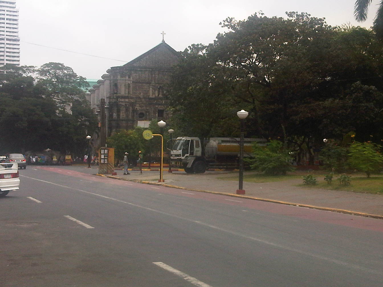
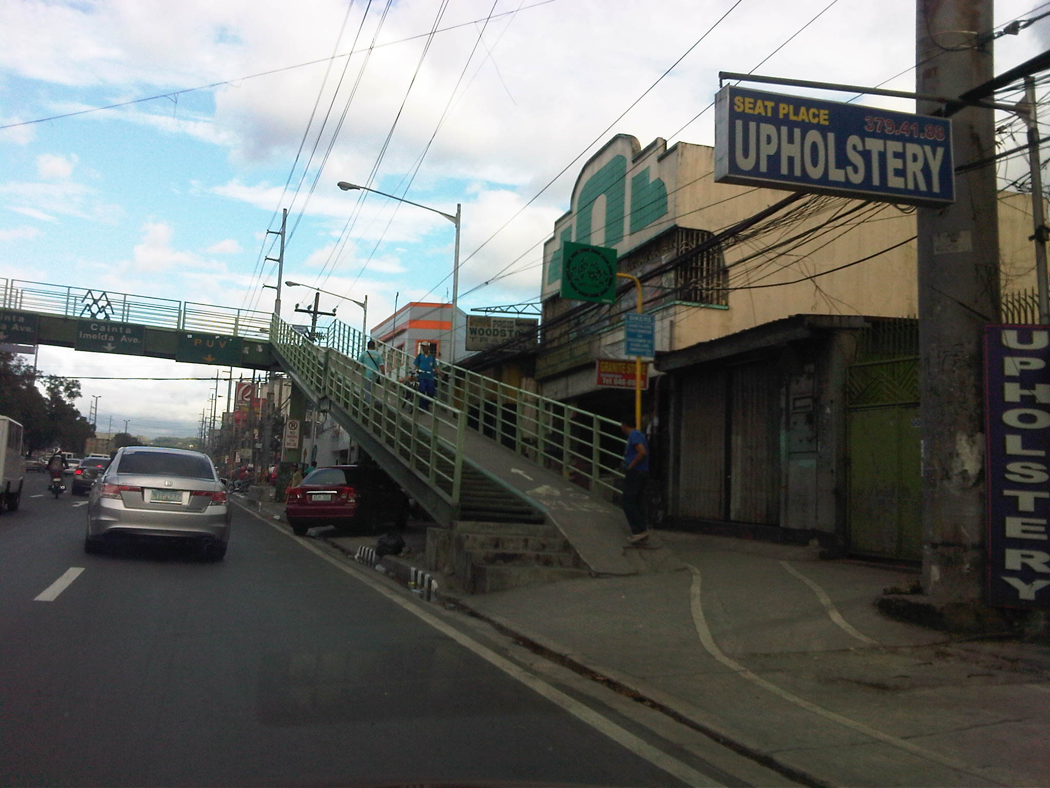
People have been telling me about the traffic congestion along Circumferential Road 5 (C-5) and I am quick to reply that I know the feeling as I’m one of those who have driven or traveled along C-5 and experienced first hand the traffic congestion, which is worst during the mornings (southbound) and late afternoons and evenings (northbound). Midday traffic jams are not uncommon as C-5 is a truck route and large vehicles contribute to clogging especially at bottlenecks like the U-turns slots along the highway and bridge crossing the Pasig River. C-5 has been this way since its opening (or more appropriately the completion of missing links along the main alignment).
It will not get better. It will only get worse. I say so because of the annual increase in vehicle ownership, including motorcycles, in what is now termed as Mega Manila. I dare say so because of the backlog of public transport infrastructure in the metropolis (or megalopolis?). It is well established that efficient public transport infra and services are good incentives for people to commute rather than drive. This means there will be less vehicles on the road and therefore there will be less congestion as basically only those who really need to drive would be using their cars on a regular basis. Of course, it is not as easy at it seems considering trip making and mode choices are in reality complicated matters. But then the availability of viable, acceptable choices for travel, especially in the urban setting allows for people to have better mobility and more equitable use of the transport system than a car-oriented city. Until then, when we do have the public transport system that our cities require, it will be a daily penitensya for many of us traveling and not just along C-5.
 Congestion along the southbound side of C-5 approaching the flyover crossing Ortigas Ave. The flyover can be seen in the horizon.
 Congestion along C-5 southbound in the Bo. Ugong area approaching the junction with Lanuza Avenue. An overpass was proposed for construction along this section but now it doesn’t look like it will do any good considering the bottleneck is the Pasig Flyover and the bridge across Pasig River.
 Congestion along C-5 southbound at the Pasig flyover. The flyover has 2 lanes per direction and vehicle breakdowns or road crashes have resulted in terrible traffic jams.
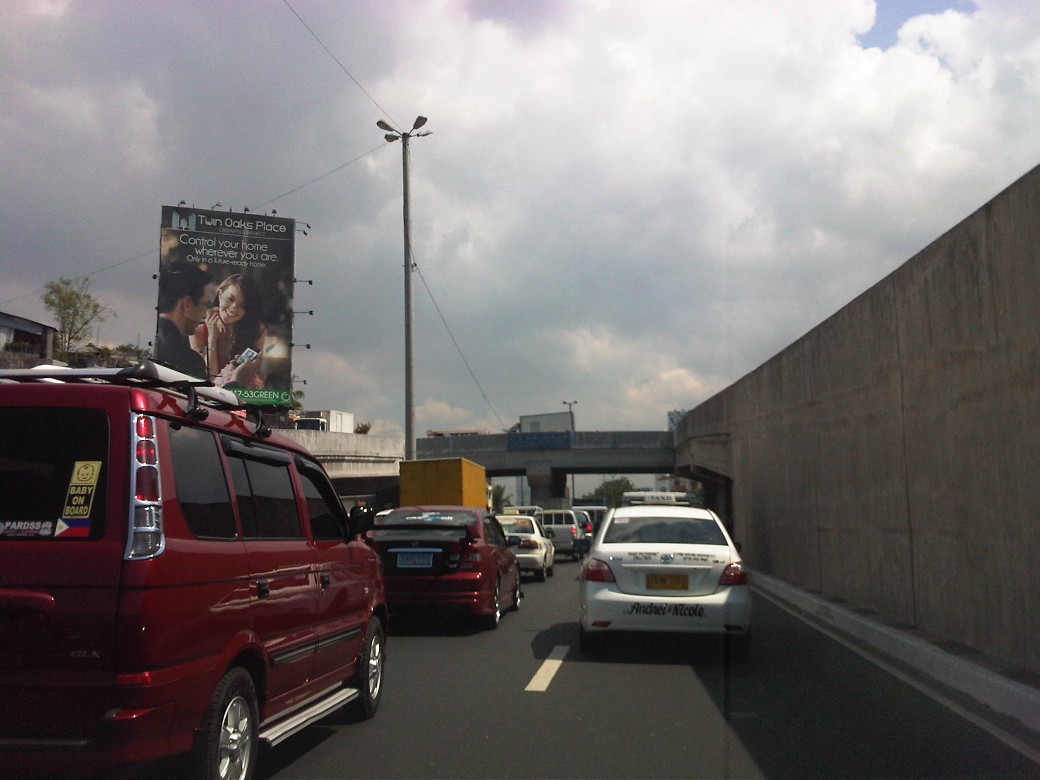 Congestion along C-5 northbound at the C-5/Kalayaan junction. The north U-turn flyover, one of two in the area, is shown in the photo. An underpass was initially proposed, designed and approved (with budget from a JBIC loan) at the junction. A previous MMDA Chair, however, didn’t agree and successfully maneuvered for the twin U-turn flyovers to be constructed instead.
–
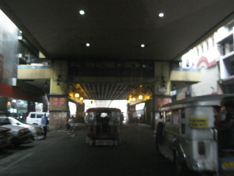
Rizal Avenue – Part 1: Carriedo – Bambang
Rizal Avenue stretches from Manila northward to Caloocan city from Carriedo to Monumento. What used to be one of the more cosmopolitan streets in Manila was transformed (some say blighted) by the construction of the elevated LRT Line in the early 1980’s. Carriedo, for example, used to be a popular shopping street along with Escolta. Those were times when there were none of the huge shopping malls now scattered in Metro Manila and people came to Manila to shop.
The following photos were taken while we traversed Rizal Avenue as part of a recon we were conducting for a project with the Department of Transportation and Communications (DOTC) back in 2011. I’m not sure if there have been any significant changes along Rizal Avenue and I am not aware of any recent programs to improve conditions under the LRT Line 1.
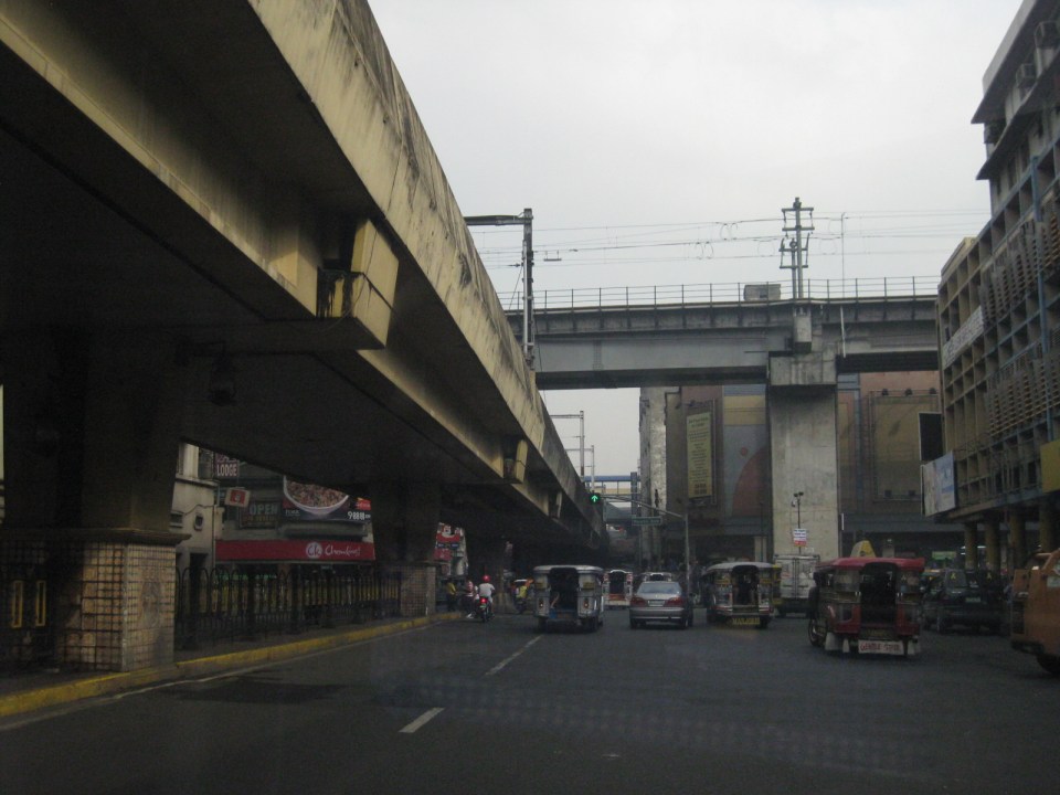
 Approaching the LRT Line 1 Carriedo Station from the McArthur Bridge
 Under Carriedo Station, one experiences first-hand what people have been saying about the area being blighted by the LRT 1 structure
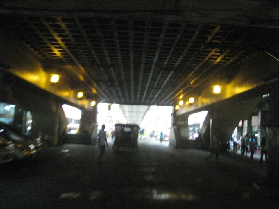 Poorly lighted? It was broad daylight outdoors when we conducted the recon but underneath an LRT 1 Station it can get quite dark. Of course, aside from the need to improve illumination, perhaps authorities can also improve the environment including the cleanliness of the area under the station. A common complaint is garbage and there are those saying the area smells of piss (i.e., mapanghi).
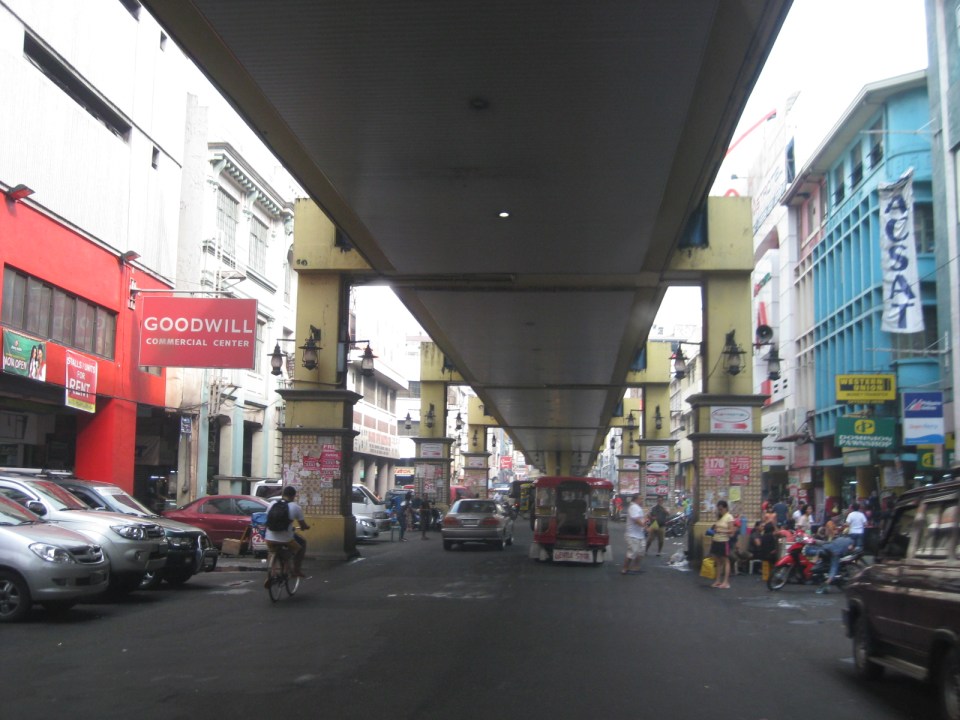 Past Carriedo Station, it was brighter and perhaps the area can be developed so that stretches can be pedestrian friendly. Maybe there should also be restrictions on vehicle parking, which tends to make the area look congested. It would be good to have a strategically located multilevel facility in the area where most vehicles can park instead of along the streets as shown in the photo.
 5More roadside parking plus the presence of tricycles contribute to traffic congestion in the area. People are everywhere walking and crossing anywhere. The arcades where they are supposed to walk along are mainly occupied by vendors or merchandise of stores/shops occupying the ground floors of the buildings along the street.
 Each side of Rizal Avenue is surprisingly wide with 3 lanes per direction. One lane is effectively used for on-street parking while the other two are for general traffic. There are no lane markings at the time we passed by the area so there can be confusion as to lane assignments.
 Approach to the junction with Recto Ave. and the LRT Line 2, which is also elevated and at the 3rd level as shown in the photo.
 Rizal Ave.-Recto Ave. intersection – visible downstream in the photo is Doroteo Jose Station
 Provincial bus terminal between Doroteo Jose and Bambang Stations
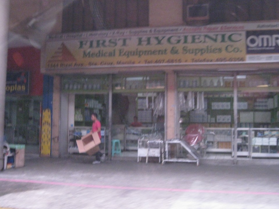 The Sta. Cruz district and particularly the Bambang area is well-known for shops selling medical equipment and supplies. Medical, nursing and other students of allied medical professions as well as professionals come to Bambang to purchase equipment and supplies from these shops, which offer items at lower prices.
 LRT 1 Bambang Station
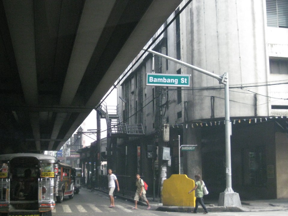 Rizal Ave.-Bambang St. intersection beneath the station
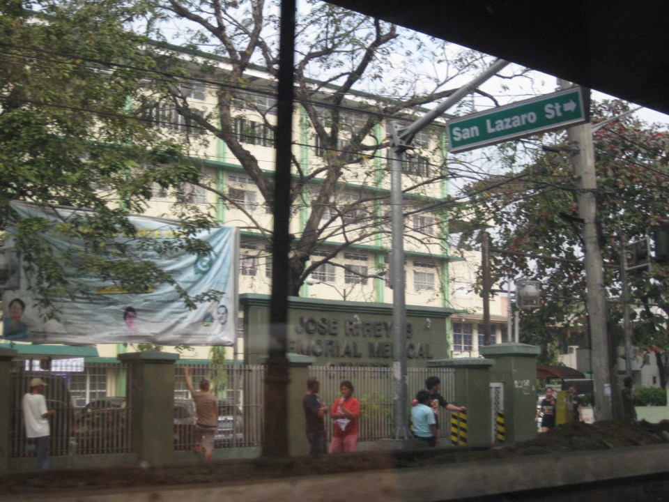 Two large government hospitals are located in the area between Bambang Station and Tayuman Station – San Lazaro Hospital and Jose Reyes Memorial Medical Center. Both are run by the Department of Health (DOH), which is located beside Jose Reyes.
–
The Economic Case for Rail Subsidies
Today, I’m sharing a nice article on rail subsidies from The Atlantic Cities:
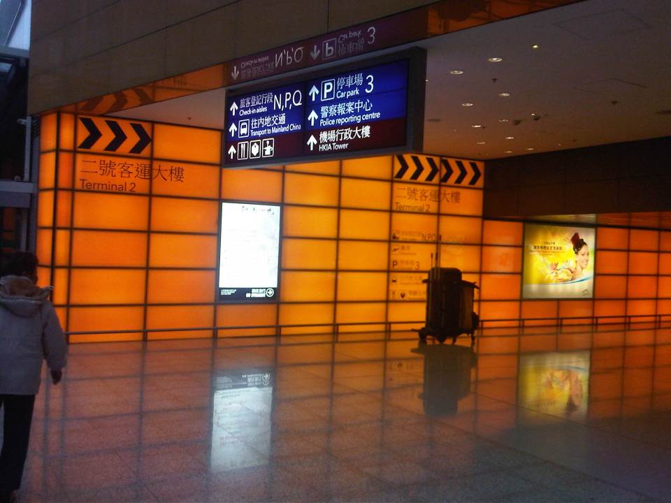
Walking around HKIA
With some time on my hand, I decided to explore HKIA after arriving via the Airport Express during my last visit to Hong Kong. I really haven’t had the chance to go around the airport in my previous trips particularly because I had to transfer between connecting flights. Following are a few photos at the HKIA taken last December 2012.
 Entering the huge HKIA terminal from the Airport Express platform
 Corridor leading to the driveway
 Check-in counters mix with shops inside Terminal 1
 Ramp towards the tunnel connecting HKIA Terminals 1 and 2
 Tunnel to Terminal 2
 Counters for limousine and travel services at Terminal 2
 Shops at HKIA include branches of luxury brands. They also have Disney stores at the terminals.
 More shops and benches at a passenger waiting area at HKIA
 Information board for arrivals and departures
 Travelers can easily go around the airport terminals and information such as those shown in the photo are found in strategic locations around the terminal.
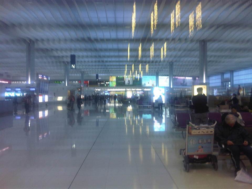
 Taking a train ride to the satellite terminal where my boarding gate was located, I took a photo of the interior of the vehicle.
 HKIA was promoting environmental awareness the last time I was there.
 Travelers, particularly children, can have a quick look and learn about the environment in this set-up inside the terminal.
 Expansive interiors of HKIA departures level makes people appreciate the space. For a very busy airport, HKIA does not look congested once you are inside the terminal.
 A photo of the tarmac taken while I was reclining on what I though was perhaps among the most comfortable chairs in an airport terminal. I was lucky have found one unoccupied and quite selfishly used it until our boarding call.
I think HKIA is indeed one of the best airports in the world. For me, it is a toss-up between HKIA and Singapore’s Changi for the top spot, even considering that Changi had a Budget Terminal. That terminal is now giving way to a larger Terminal 4, which has much expectations riding on it given the airport’s standing. Not to denigrate HKIA, which I think has better shopping and dining than Changi but there might be other factors where Singapore’s airport is better than HKIA?
–
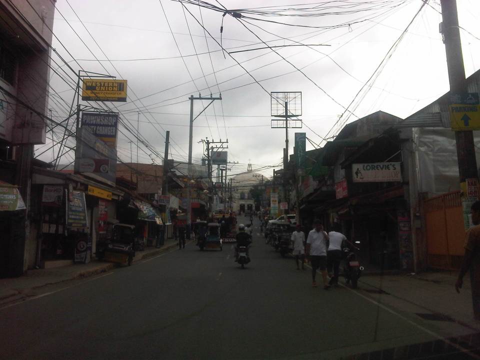
Antipolo Simbahan
“All roads lead to Antipolo” is a saying that is especially true for devotees to Our Lady of Peace and Good Voyage for whom the shrine in Antipolo is dedicated. Indeed, major transport routes lead to Antipolo City and signboards on jeepneys (and buses of old) state “Antipolo Simbahan” as their destination. In much older days, the Manila Railroad Company used to have trains directly serving this route. The remnants of its right-of-way is still there but in the form of roads. These are the Daang Bakal, which stretches from Valley Golf in Cainta, Rizal until its junction with Taktak Road and Ninoy Aquino Blvd., where it becomes the Lorenzo Sumulong Memorial Circle, Antipolo’s circumferential road. A trace of this old railway line may be found in this previous post.
 From J.P. Rizal Street, which extends from Sumulong Highway, one turns left to head straight towards the Antipolo church along P. Oliveros Street. The street is a two-lane, one-way road that has been widened at some sections. The shoulders, however, are mostly used for parking as shown in the photo.
 The dome of the church becomes visible to the traveler as one comes closer. P. Oliveros St. is closed to traffic during the feast day in May. It is usually open during Lent even during the Holy Week when there are lots of people coming to Antipolo for the Visita Iglesia. Traffic during those times can be quite slow because there are also lots of people walking along the streets, many of whom are devotees who are namamanata, or have promises of sacrifice and prayers to the patron of the shrine.
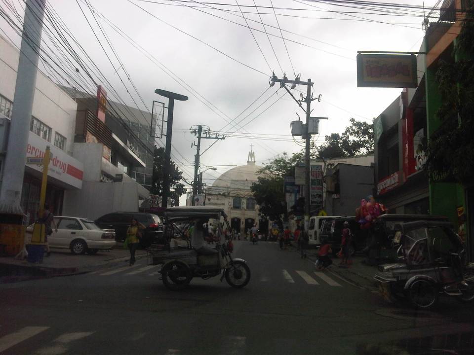 Similar to other poblacions around the country, commerce surrounds the church. Antipolo receives thousands of visitors daily and its being a natural traffic generator provides opportunities for businesses to thrive around it. Establishments around the church are proof of this and one will find most major fast food chains within a stone’s throw away from the shrine. In the photo are major chains Jollibee, Mang Inasal, Greenwich along the right and Mercury Drug(not fast food but the largest drug store chain in the Philippines) and McDonald’s on the left. There are more including banks and food stalls along M.L. Quezon Street, which is the main street of the poblacion.
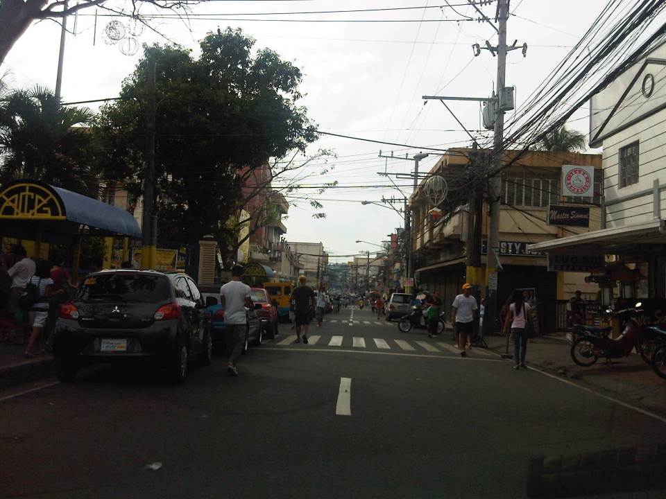 M.L. Quezon Street in front of the shrine and the main street of the poblacion, is also a two-lane, one-way street (southbound flow). There are many one-way streets here as it is no longer possible to widen streets. One side of M.L. Quezon is used for parking and a short walk from the church is Antipolo City Hall, which is the red building barely visible (obscured by the tree on the left) downstream in the photo.
 The Antipolo City Hall building is seen here at the left in this photo.
There is a proliferation of tricycles operating in the poblacion. I don’t know how many there are but they seem to be from different tricycle operators and drivers associations (TODA) that all converge at the shrine. This overlap of service areas (tricycles do not have fixed routes) suggest everyone is taking advantage of the shrine and city hall being major traffic generators. The problem is that the city has not been able to control their numbers and regulation is probably limited to registration, which brings some revenues to the city. This is certainly not sustainable from the perspective of transport
It would be nice to see the poblacion re-planned, designed and managed so that walking may be given primacy over other modes, particularly motorized ones. Antipolo should be walkable and it was in the past considering there were no tricycles and automobiles during the Spanish and early American periods. One took an animal-drawn vehicle, road a horse, or walked even when there was a train service in the early part of the last century. If parking is an issue, then perhaps the city, with the cooperation of the private sector, could find ways of building multi-storey parking facilities in the periphery and within comfortable walking distance from the shrine and city hall. There’s much potential here that is steadily being wasted due to traffic and with no design theme even for buildings surrounding the shrine. The shrine represents heritage and to preserve and enhance it, Antipolo City should find ways to introduce sustainable transport as well as applying architectural principles for the poblacion.
–
Another what if: Rapid Transit Railway for Metro Manila
I posted a map on my FaceBook page showing the lines of a railway network for Metro Manila proposed about 40 years ago. The map, which I reproduce below, was produced from the original featured in the Final Report of the Urban Transport Study in Manila Metropolitan Area (UTSMMA) that was completed in September 1973. To enhance the image, I traced the lines and provided some color. I also indicated the intersections among the lines that are potentially common stations for the network. The study was funded by what was then the Overseas Technical Cooperation Agency of Japan, the predecessor of the Japan International Cooperation Agency (JICA). The study recommended for a Rapid Transit Railway (RTR) system for Manila.

The main routes of a mass transit system was recommended by UTSMMA to be restricted to railways in the form of subways in the inner area bound by what was then called Highway 54 (C-4 or EDSA) and elevated trains outside in the suburban areas. The study recognized the important roles of buses and jeepneys while recommending that these serve feeder routes once the railways were completed. Following are descriptions of the Lines including their lengths:
- Line 1 (27.1 km) – from Construction Hill to Talon via central Quezon Boulevard, Manila downtown and the International Airport
- Line 2 (36.0 km) – from Novaliches to Cainta via Manila downtown and Pasig
- Line 3 (24.3 km) – Along Highway 54 (C-4): half a circle route about 12 km from Manila downtown
- Line 4 (30.1 km) – From Marikina to Zapote via Cubao, Manila downtown and the Manila Bay area
- Line 5 (17.6 km) – From Meycauayan to Manila downtown running between Line No. 2 and PNR
- PNR improvement (56.4 km) – From Bocaue to Muntinglupa via Tutuban Station
Curiously, a Feasibility Study for Line 1 was completed in June 1976 but unfortunately (or tragically) plans for the implementation of the network were apparently scuttled after a subsequent study that included a land use component. This was the Metro Manila Transport, Land Use and Development Study (MMETROPLAN) that was completed in February 1977, which came up with the following assessment:
“Heavy Rapid Transit (HRT) would provide public transport passengers with much faster journey, but by 1990 would attract only 2.5% of motorists and would have negligible impact on traffic congestion. Partly because of this and partly because of its very high capital cost, it would be hopelessly uneconomic: the annualized capital costs would be higher than the estimated benefits in 1990…passenger flows are not high enough to exploit its full capacity…and the large savings in time for public transport passengers are not given a high value in Manila, and are not high enough to persuade motorists to change mode.
These results are conclusive , and are unlikely to be changed by any circumstances or reasonable assumptions…it is clear that any other fully segregated public transport system, whether light rail or busway, would also be uneconomic. As such systems would require the appropriation of most, if not all, of the available funds for all transport (including highways) in Metro Manila for the foreseeable future, and as there is not other rationale for their implementation, they have been rejected from further consideration.” (MMETROPLAN, Final Report, 1977)
Looking back and then making a rapid assessment of what is now Mega Manila, we now know that this conclusion in 1977 was so off the mark. Further, the assumptions then that included restricted development in areas such as the Marikina Valley were not realized; resulting in a sprawl and population distribution that pretty much requires the RTR system recommended in 1973. We also now know that such a system could have been a game changer in terms of how we commute and how lands were developed along those transit corridors. I would even be brave enough to state that a subway system could have forced us to invest in a comprehensive drainage system to prevent flooding that could also have had tremendous benefits now in these times of Ondoy and Habagat with heavy rains often wreaking havoc on Metro Manila.
–
More quick wins for cycling
Metro Manila is basically not a cycling-friendly metropolis. Road space is practically devoted to motor vehicles and sidewalks are not wide enough to accommodate a lane for cycling or space that can be shared by pedestrians and cyclists. The latter observation on space is actually arguable considering that in Japan, narrow sidewalks and carriageways are usable for cyclists and people are generally respectful of others’ right-of-way and perhaps right to travel. As such, conflicts are minimized among pedestrian, cyclists and motorists.Such situations can also be achieved in Metro Manila and other Philippine cities as well. Key is to have a consciousness among people of everyone’s right to space. Also, there is a need to actively, persistently promote a safe interaction among road users such as what has been done by cycling advocates like the Firefly Brigade and what the MMDA is now doing with their initiatives promoting NMT.
Searching for some quick wins aside from the example of Marikina (where there are formal bikeways already in place), I’m featuring a few photos taken around Metro Manila that can be regarded as examples where there have been initiatives toward quick wins in promoting cycling. These include a couple of photos in the Malate, Manila area and couple along Marcos Highway in Pasig City.
 Bikeways in Malate
 The Malate Church
 Segregated bicycle lane along Marcos Highway
 Cyclists along Katipunan Avenue (C-5)
 Segregated bikeway and overpass ramp along Marcos Highway
Except for the case of Katipunan, all the photos show space designated for cyclists. But Katipunan should be seen as a corridor that has a high potential for walking and cycling given the nature of the land use between Ateneo and UP Diliman. There are opportunities here to promote suitable non-motorized modes of transport while also working for a reduction in car use associated with the schools in the area. While there are still issues of encroachments (e.g., vehicles parked on the sidewalk, and depriving pedestrians and cyclists of their space) in the case of Marcos Highway, these are enforcement issues that LGUs like Antipolo City should address. I cite Antipolo because Marikina and Pasig are generally for cycling and have often reminded establishments to clear the space for pedestrians and cyclists.
–
Housing and transport in Singapore
I had wanted to write about the relationship between housing and transport. This relationship falls under land use and transport interaction or LUTI, as it is often called. But while I continue to procrastinate on writing an article on this topic, I refer my readers to another article that appeared in a regional daily. The article from The Freeman written by a good friend who is now the Manager of the Mactan Cebu International Airport and was the City Planning and Development Officer of Cebu City relates about public housing in Singapore and gives a commentary on their strategic locations in relation to Singapore’s efficient transport system. The article is part of a series that the author is writing about his observations in Singapore, and provides a peek into housing and transport in a developed city state. I believe such is an example of a best practice in public housing that the Philippines should learn from in order to solve its own housing problems.
–
Addendum: Here are the first and third parts of the series of articles by Nigel Paul Villarete for The Freeman. There are also archives of his articles under his column Streetlife. Good reads that our officials at the national and local levels should indulge in to have a grasp of solutions and best practices concerning transport and traffic.
–
Reviving the Pasig River Ferry, again
The Pasig River Ferry is in the news again as a major corporation considers reviving the ferry. I’m just not so sure about their motivation for this as what I’ve read on news media seems to say that their plan for reviving the ferry service is linked with their real estate projects, especially one in Manila that’s shaping into Circuit Manila, on land that used to be the Sta. Ana race track. The nearest ferry terminal or station would be the Valenzuela ferry terminal, which is accessible via S. Osmena St. The same street connects to Makati City Hall. Public transport should be service oriented, which the main reason why many public transport systems, particularly rail transit, losing financial ventures and have to be subsidized by governments around the world. But note that I mentioned “financial” in the previous statement because there are definite and established benefits from economic perspective. I’m giving the benefit of the doubt, however, in so far as the track record of the company gives us hope that their entry would be good from the management and marketing perspective of the ferry system. A successful venture here would prove the viability of a water-based system that has so much potential considering it could connect Manila, Makati, Mandaluyong and Pasig directly with other towns of the provinces of Rizal and Laguna around the Laguna De Bay.
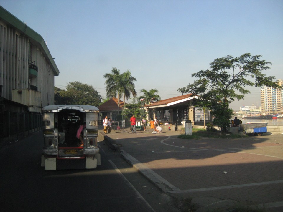 There are many informal settlers along the stretch of the Muelle del Rio (now also known as Riverside Drive) from MacArthur Bridge to Plaza Mexico in Intramuros. Several families can be seen living under the bridges or with their carts along the linear park.
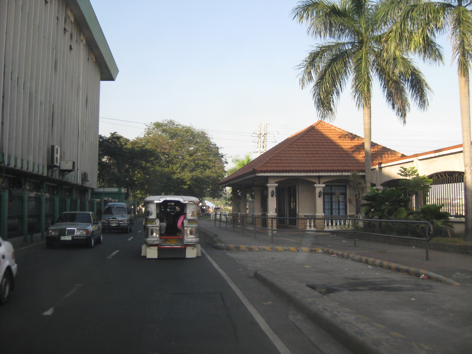 The Plaza Mexico Station of the Pasig River Ferry
Reviving the Pasig River Ferry would take a lot of effort and that effort does not yet include the marketing required to attract passengers for the ferry. Of course, one way to promote the use of the ferry is if people can be convinced that using it could cut down their travel times between origins and destinations. While the ferry may provide a more direct route along the river, connectivity with other modes of transport (e.g., road public transport) and pedestrian facilities should increase ridership. Needless to say, affordability (i.e., fare rates) and safety/security are essential components for an attractive mode for commuting. The tourism aspect would just be a bonus in terms of users.
–
