
Home » Posts tagged 'tollways' (Page 2)
Tag Archives: tollways
On the RFID fiasco
Early December 2020, Metro Pacific Corporation suddenly had to deal with jam-packed toll plazas and queues that affected roads connecting to the North Luzon Expressways. Fast-forward and Valenzuela City apparently had enough of it and revoked the tollway corporation’s business permit. Later, matters were resolved with the tollways reverting to mixed toll collection to manage the queues at the toll plazas.
Prior to this, tollways corporation scrambled to meet the deadline set and re-set by the Department of Transportation (DOTr) through the Toll Regulatory Board (TRB) for contactless, cashless toll payments. The question is if there was enough time for tollway operators to acquire the best (not just the minimum required) system for this endeavor. There are some opinions that this was basically required on short notice and for the government to get some brownie points for this.
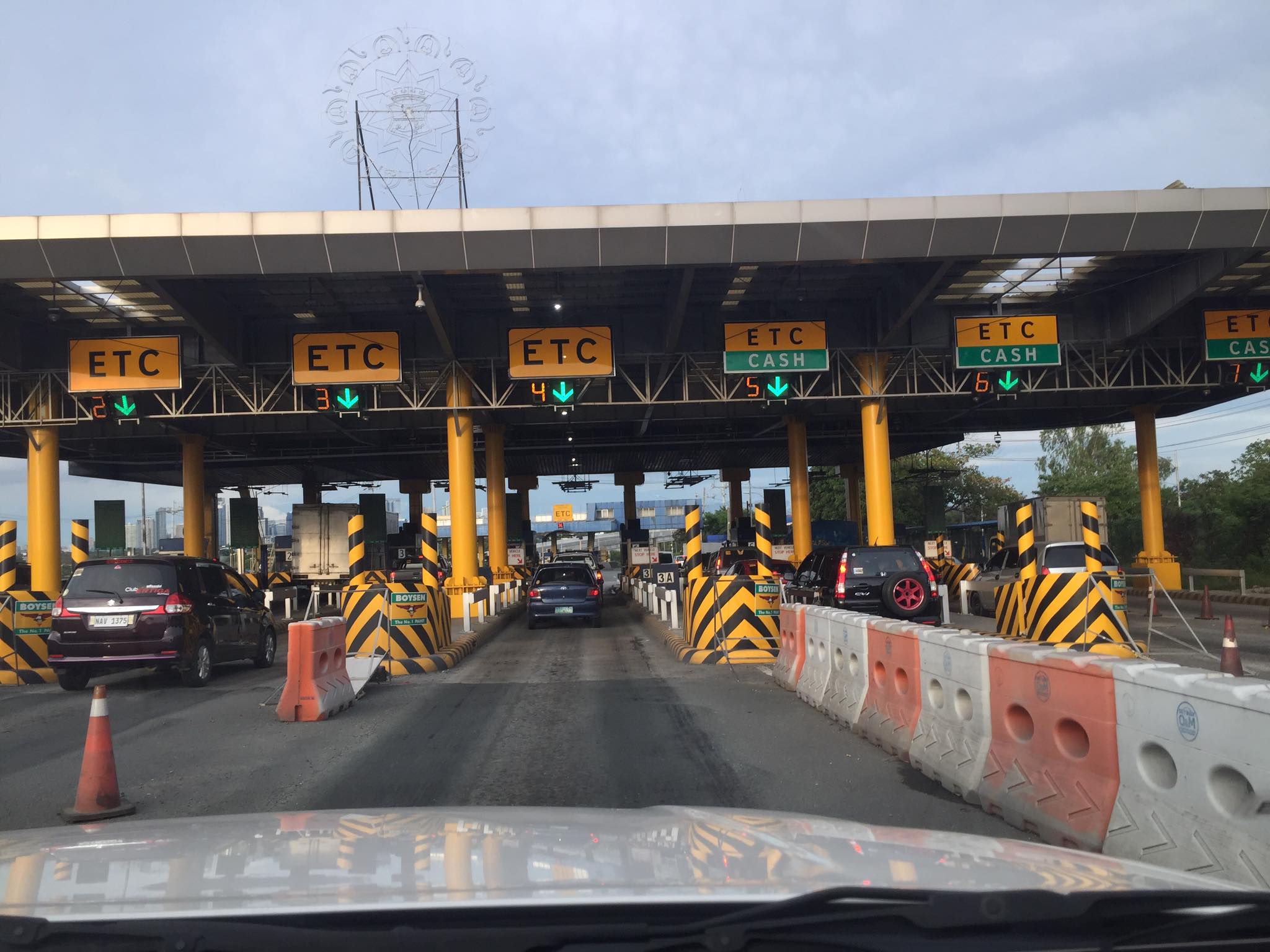
Were there issues about technology and the corresponding costs to the acquisition and deployment of the necessary devices for seamless, contactless, delay-free (in relative terms) transactions for tollways? Probably so. Those RFIDs and the readers installed at strategic locations along tollways (i.e., entries and exits) were certainly not state of the art or the best available out there. Singapore, for example, uses a more sophisticated system for their expressways where you no longer have toll plazas and you won’t have to slow down to be detected by the system. That system has corresponding costs but is perfect for the city state given that most roads are tolled anyway because of their road pricing policy. In the case of our tollways, not all travelers are actually going to utilize the tollways as frequently as it would necessitate them having to get either the Easy Trip or Auto Sweep tags. That is obvious from the relatively low penetration rates for electronic toll collection (ETC). So it still makes sense to have hybrid booths for those not availing the ETC option. Anyway, travelers will have to exercise disinfection protocols to ensure infections are prevented.
–
Cavitex
I had wanted to post about the Manila-Cavite Expressway (Cavitex) but kept putting it off as I had few photos of the tollway. Formerly known as the Coastal Road, it is now operated by the Metro Pacific group, which also operates the North Luzon Expressway (NLEX), the Subic-Clark-Tarlac Expressway (SCTEX) and the Subic Freeport Expressway (SFX). Here are photos I took last February this year when we went to Bacoor with our Japanese research lead. Most of the photos show sections towards Cavite (southbound).
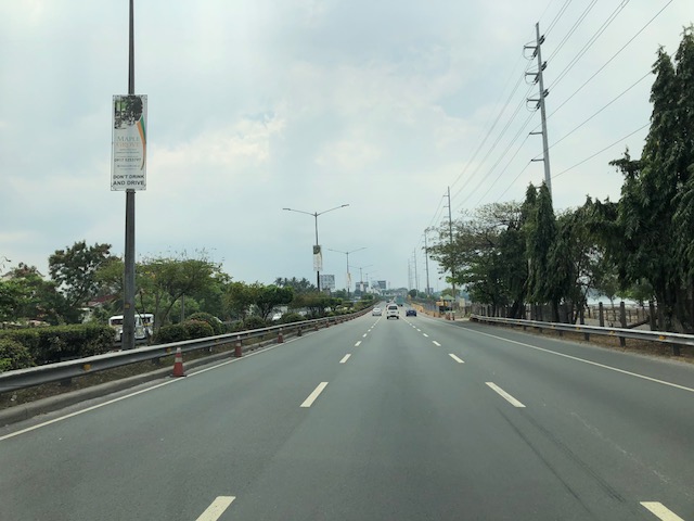 The tollways has 3 lanes along each direction.
 On one side is the bay where reclamation projects are proposed or currently under way.
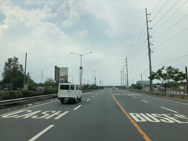 Lane markings in an attempt to position vehicles towards the toll plaza, which is visible from afar in the photo
 Vehicles queuing at the toll plaza – it can get very congested here during the peak periods and seasons.
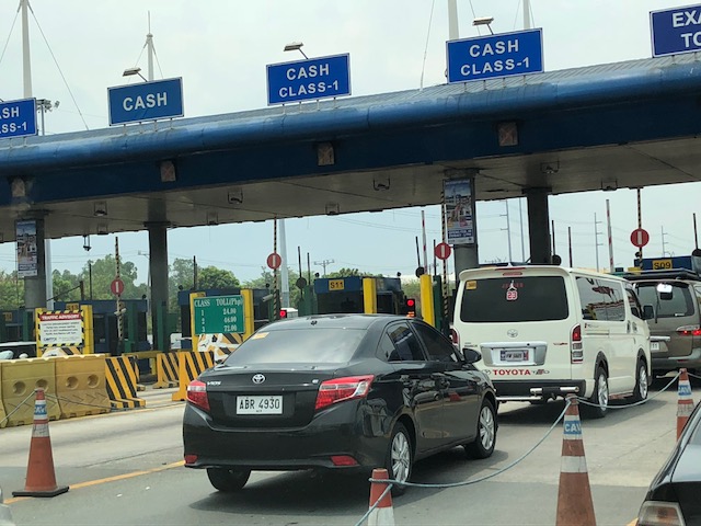 Cavitex toll plaza
 There is basically one toll plaza for the tollway for either direction.
 Free-flowing traffic during an off-peak period
 Approaching the interchange where vehicles bound for Bacoor, Imus and Las Pinas take the right side of the road to exit via the trumpet ramp shown ahead at right. Other vehicles bound for Kawit and Cavite City go straight.
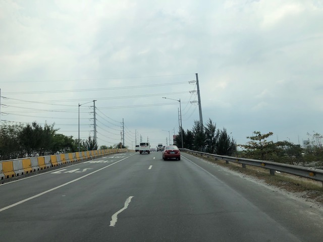 Climbing the ramp to exit towards Bacoor, Cavite
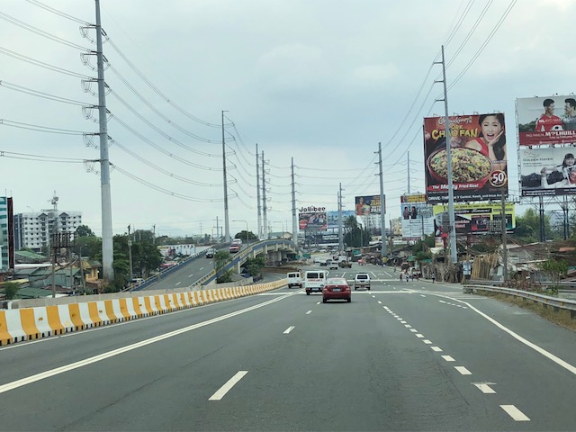 Off-ramp to Bacoor, Imus and Las Pinas
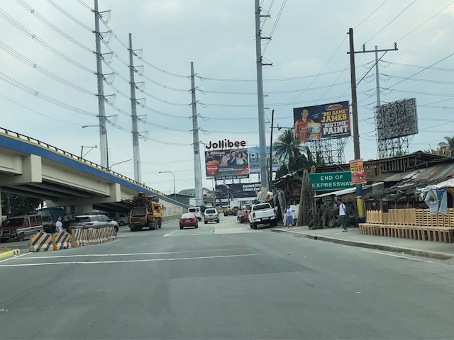 Where expressway meets the national highway
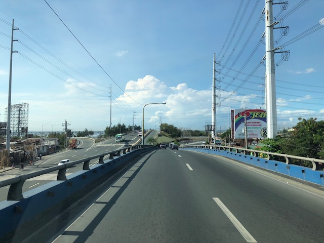 Overpass towards the tollway
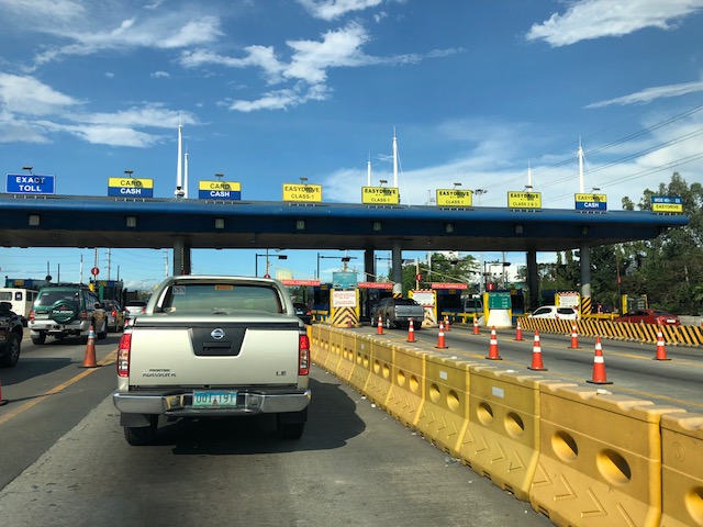 Toll plaza for the northbound (to Manila) direction
–
Another crash along NLEX – losing control?
We were returning from Clark last week when we chanced upon a crash site along the North Luzon Expressway (NLEX). We already suspected this as we approached a build-up of traffic along the southbound direction where there is usually free-flowing traffic. Here are some photos of an overturned vehicle on the median. It seems like it is the only vehicle involved as there were no other vehicle in the vicinity that could have been involved. However, it is possible that there was another vehicle involved in a situation where the overturned vehicle’s driver lost control after interacting with the other vehicle. Obviously both vehicles could have been traveling at high speeds (they are on an expressway) so this could have been an example where the combination of speeding and weaving in traffic led to an overturned vehicle (i.e., one lost control).


–
NAIA Expressway – T2 to T3
This is a continuation of yesterday’s post on the NAIA Expressway. This time, I am posting on the trip back from Terminal 2 to Terminal 3. It cost us 45 pesos, which is the same toll fee we paid for the reverse direction. Here are photos I took of NAIA X with some comments on the sections and signs.
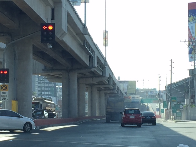 Vehicles coming from Terminals 1 and 2 would have to take the on-ramp after the intersection of NAIA Road and the Paranaque-Sucat Road (Ninoy Aquino Avenue) and just before the intersection with the Domestic Airport Road.
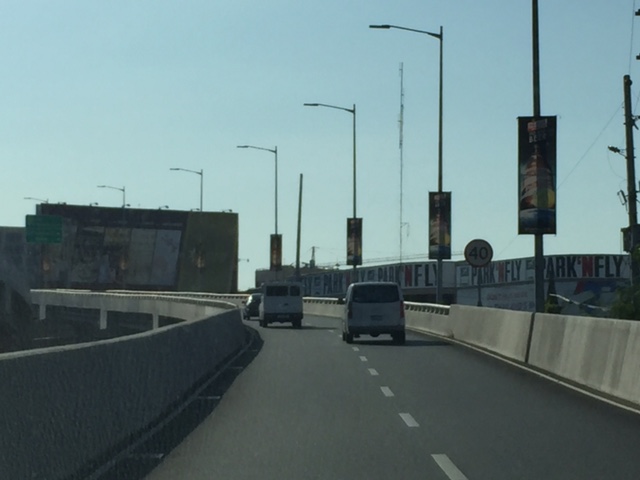 That’s the Park’N Fly building that is located at the corner of the NAIA Road-Domestic Road intersection.
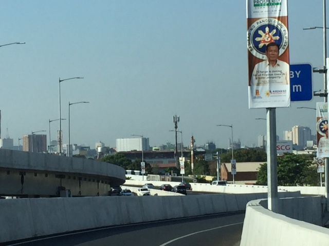 Vehicles bound for Terminal 3 and the Skyway should keep right.
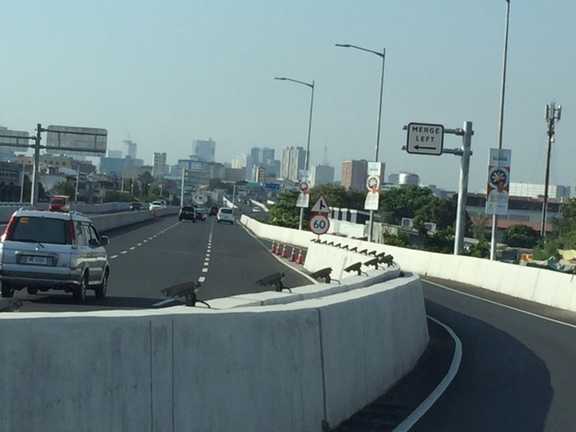 Traffic will merge with those coming from Macapagal Boulevard.
 Speed limit and signs for merging traffic
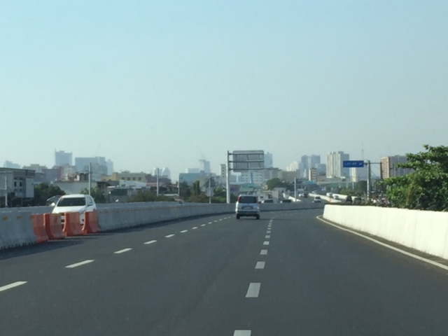 The three lanes include the merging lane at right.
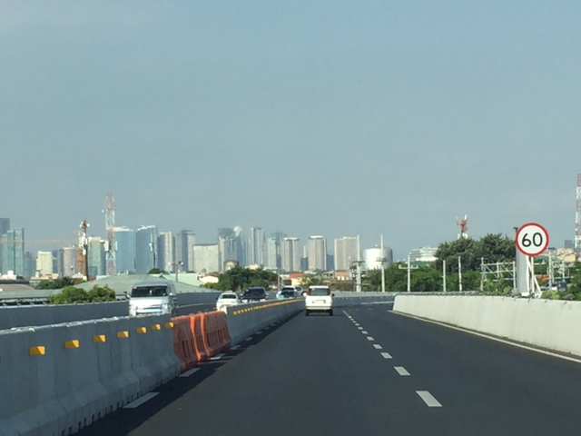 Noticeable along the NAIA X is the lack of shoulders. Although the lanes appear to be wide, drivers may become uncomfortable when two vehicles are side by side due to the perception of constricted space.
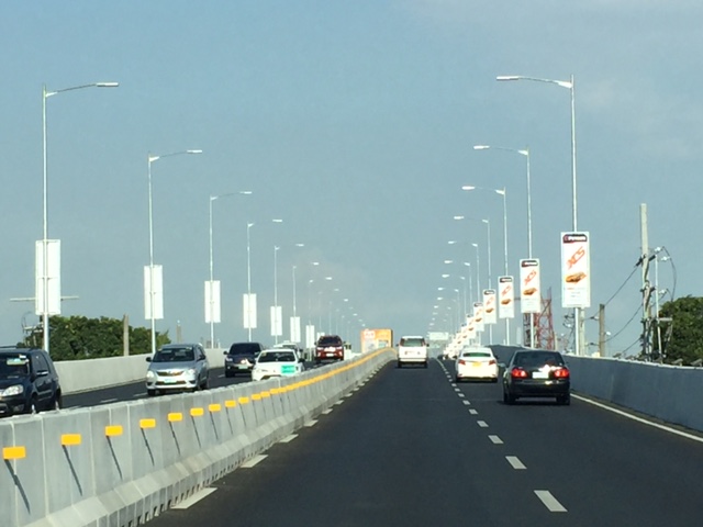 There are lots of reflectors installed on the media barriers. There are also a lot of ad space with tarps installed on each lamp post along the expressway.
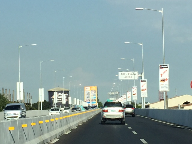 Sign informing travelers of the toll plaza coming up ahead.
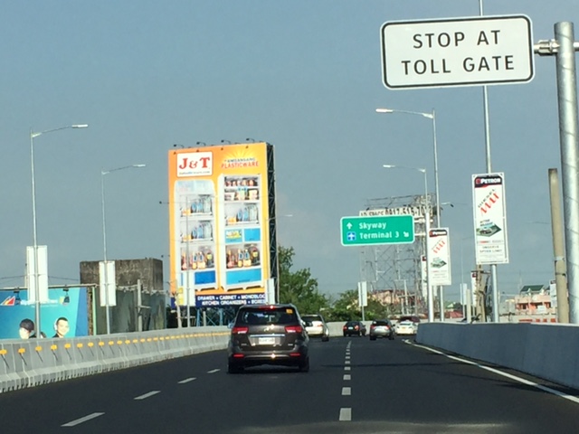 Directional sign guiding vehicles bound for the Skyway or Terminal 3. My colleagues and I agree that instead of just stating “Skyway”, the sign should state “Skyway/C5/Nichols”. Travelers who are not heading south and unfamiliar with the NAIA X off-ramps would likely take the Terminal 3 exit and end up passing through T3. There is actually another off-ramp leading to Andrews Avenue and eventually Sales Road (formerly Nichols) so you don’t have to pass through T3. We made that mistake and ended up going through T3.
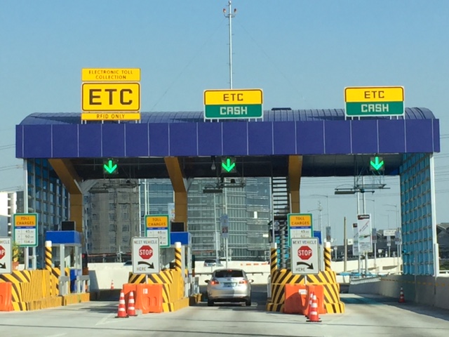 Toll plaza prior to the T3 exit ramp
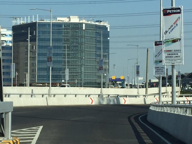 Section just after the toll plaza
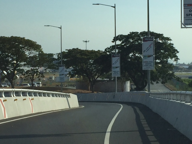 Off ramp
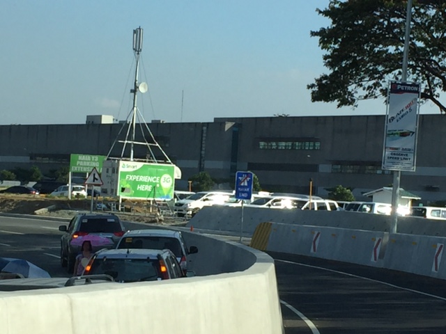 Standing vehicles right next to the off-ramp with their drivers likely waiting to fetch arriving passengers. It is practically impossible to make a hard left to avoid going into T3 so you have no choice but to go through the terminal via the departure level (elevated) or the arrival level (ground).
–
NAIA Expressway – T3 to T2/T1
Last Friday was our first time to use the NAIA Expressway. This was one of the major projects under the last administration and under the Public-Private Partnership (PPP) program and became operational last year after being delayed (It was not operational during the APEC summit in 2015.) for some time. I also commented on the need for NAIA X in one post before as I preferred to have a transit system instead. NAIA X is basically and mostly beneficial to cars and not necessarily for public transport. It also practically limits if not eliminates the possibility of having elevated transit (e.g., monorail or AGT) to connect the 4 terminals among them as well as to areas outside the airport zone (BGC, Makati, etc.).
I thought this post would be a useful one for travelers especially those coming in and out of the airports at this time of the year. A lot of people are departing or arriving at the Ninoy Aquino International Airport (NAIA), which is a main gateway to Metro Manila and adjacent regions. It can get congested along the roads between the four terminals of the airport and since there is not internal transport system linking them, travelers would need to travel along public roads. It cost 45 pesos (less than 1 USD) for the stretch from Terminal 3 to Terminal 2 (same if you’re headed for Terminal 1), and I thought it was well worth it considering it can really be quite congested between the 4 terminals. That congestion has already victimized a lot of people before with many missing their flights. But then perhaps one major cause of that congestion was the construction of the NAIA Expressway?
 Entry ramp across from Terminal 3 and before the Sta. Clara church at Newport City
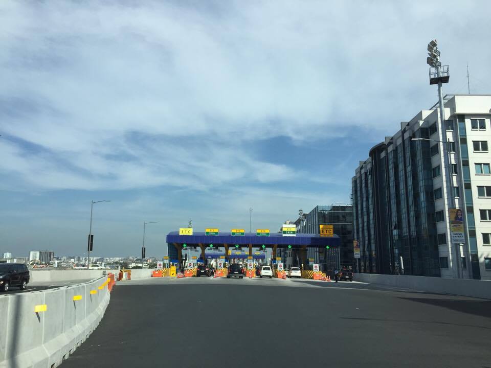 Toll plaza where travelers pay upon entry to the tollway
 Just before the toll plaza where most booths are for mixed ETC/cash transactions
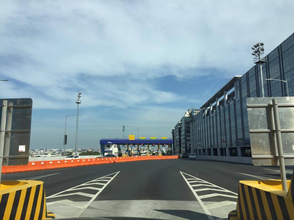 Upon exiting the toll plaza, travelers have to deal with multiple lanes merging into two
 Two-lane section with neither shoulders nor “elbow room”


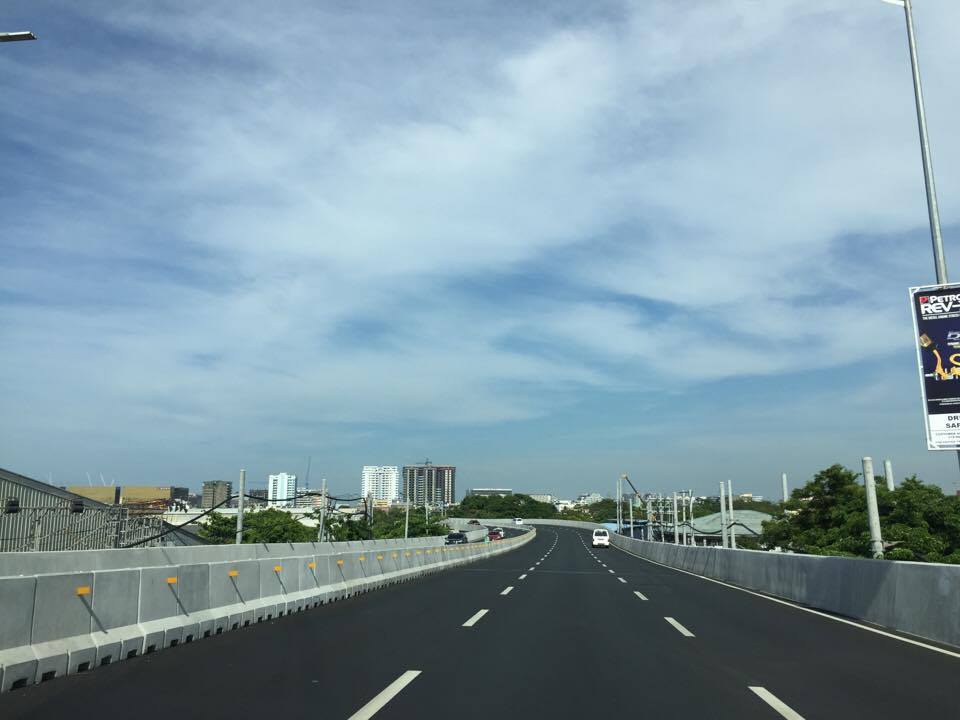
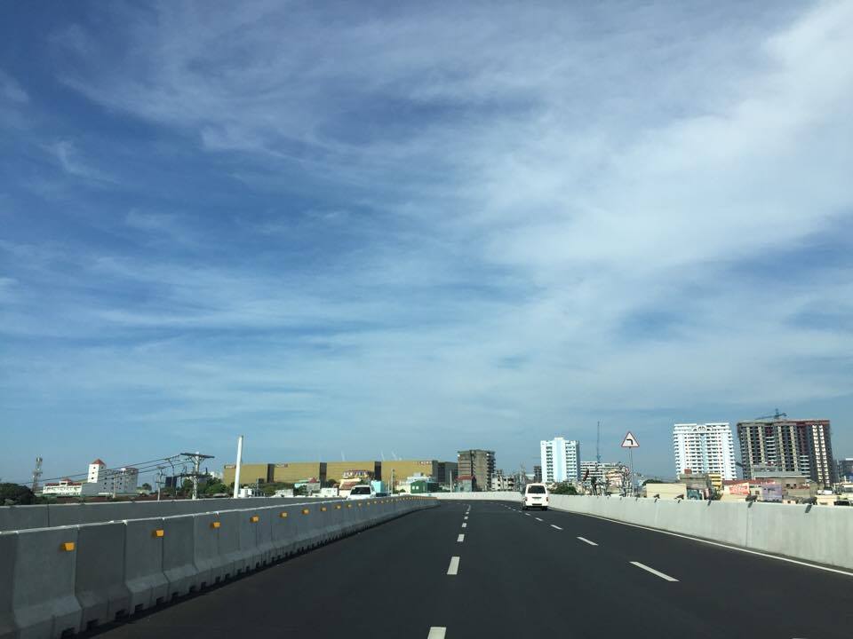
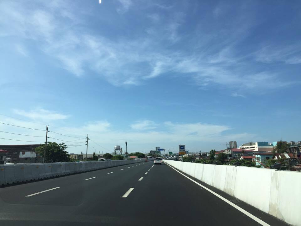
 Directional sign providing guidance especially for vehicles headed to Terminals 1 &2
 Directional signs for vehicles bound for Cavite and Macapagal Blvd (left) and Terminals 1 or 2 (right)
 The tollway section goes underneath the section headed towards Macapagal Boulevard and the Coastal Road
 The lane from Terminal 3 merges with another from the Coastal Road
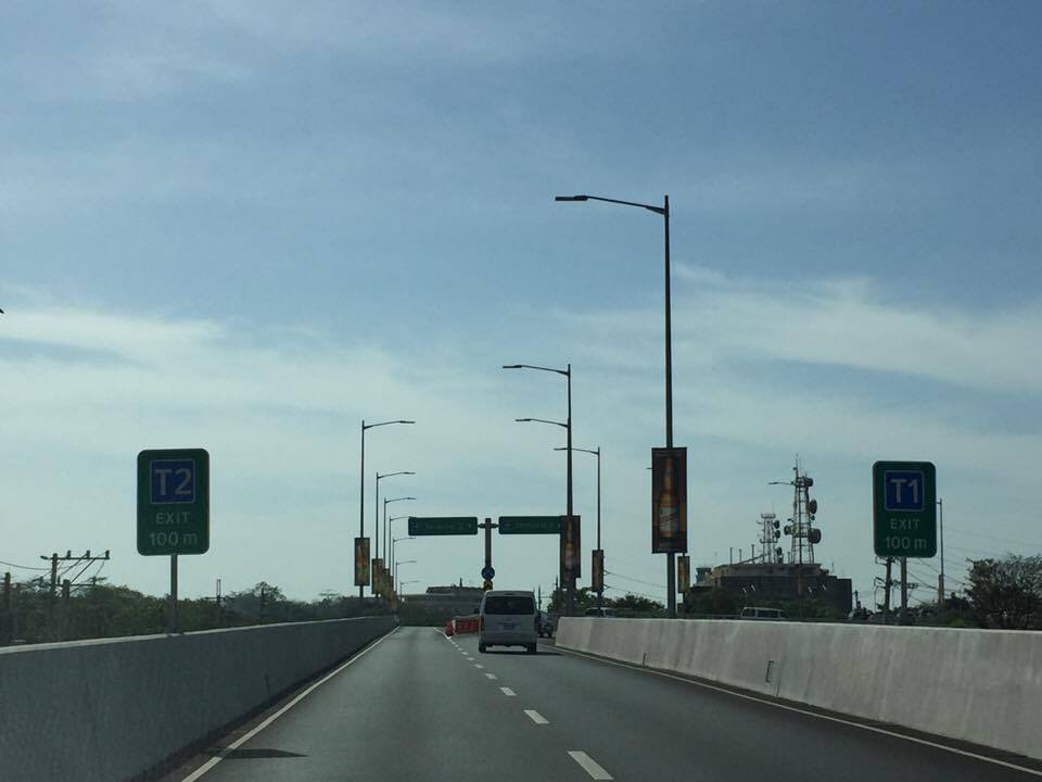 Signs showing which side to stay along towards either Terminal 2 or 1
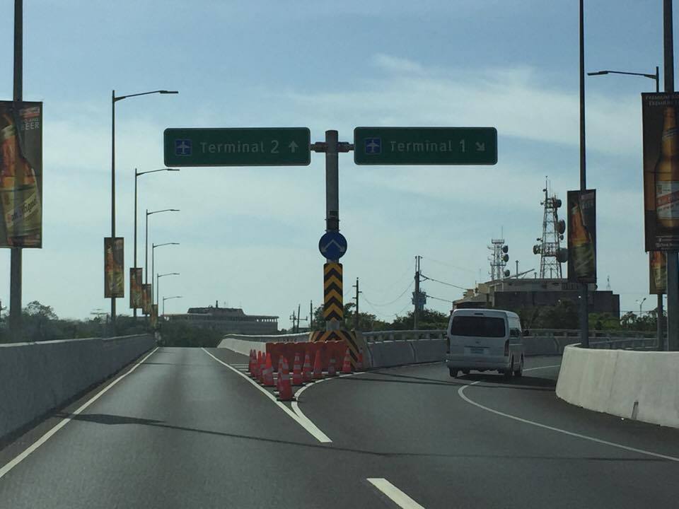 Fork in the road – the tollway branches our to either Terminal 2 or Terminal 1
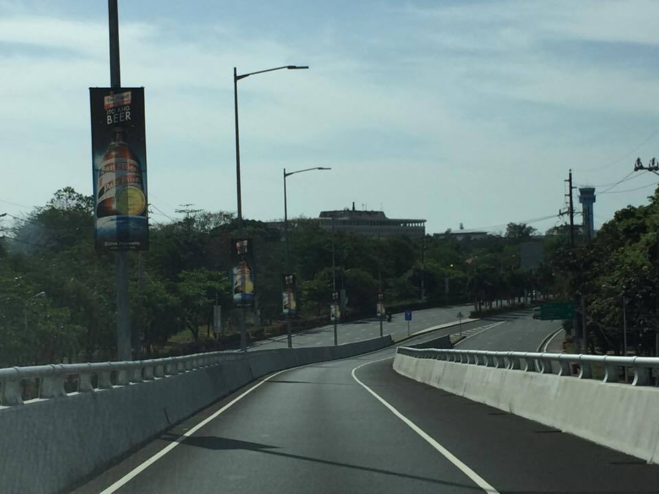
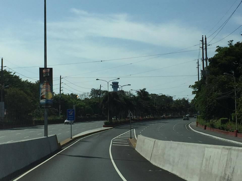 Off ramp towards Terminal 2
Next: Terminal 2 to Terminal 3
–
 Caught (up) in traffic