
Last Friday was our first time to use the NAIA Expressway. This was one of the major projects under the last administration and under the Public-Private Partnership (PPP) program and became operational last year after being delayed (It was not operational during the APEC summit in 2015.) for some time. I also commented on the need for NAIA X in one post before as I preferred to have a transit system instead. NAIA X is basically and mostly beneficial to cars and not necessarily for public transport. It also practically limits if not eliminates the possibility of having elevated transit (e.g., monorail or AGT) to connect the 4 terminals among them as well as to areas outside the airport zone (BGC, Makati, etc.).
I thought this post would be a useful one for travelers especially those coming in and out of the airports at this time of the year. A lot of people are departing or arriving at the Ninoy Aquino International Airport (NAIA), which is a main gateway to Metro Manila and adjacent regions. It can get congested along the roads between the four terminals of the airport and since there is not internal transport system linking them, travelers would need to travel along public roads. It cost 45 pesos (less than 1 USD) for the stretch from Terminal 3 to Terminal 2 (same if you’re headed for Terminal 1), and I thought it was well worth it considering it can really be quite congested between the 4 terminals. That congestion has already victimized a lot of people before with many missing their flights. But then perhaps one major cause of that congestion was the construction of the NAIA Expressway?
 Entry ramp across from Terminal 3 and before the Sta. Clara church at Newport City
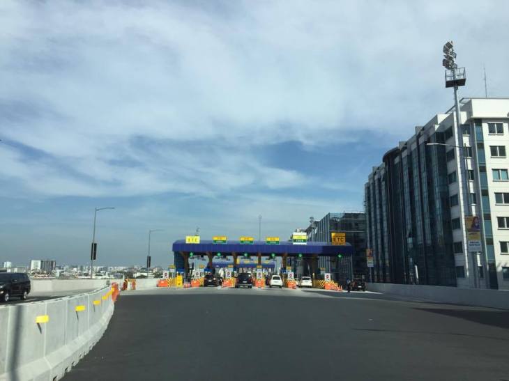 Toll plaza where travelers pay upon entry to the tollway
 Just before the toll plaza where most booths are for mixed ETC/cash transactions
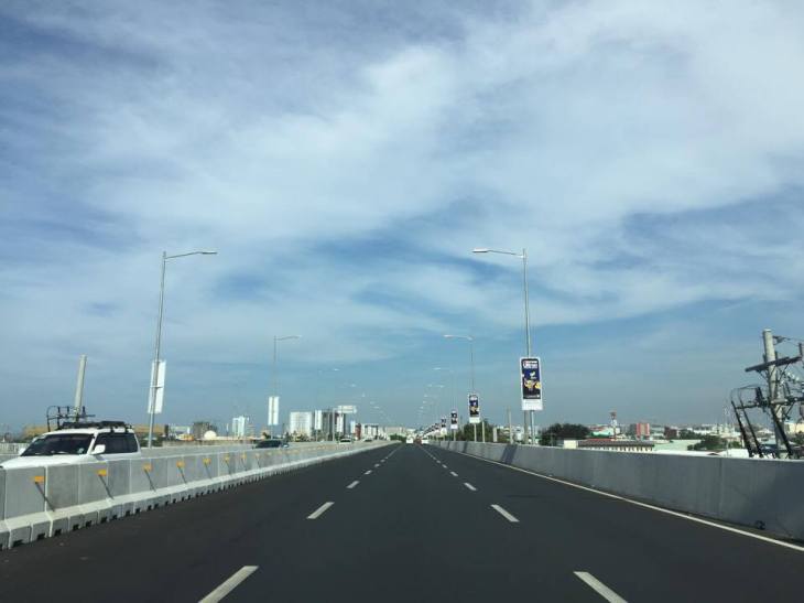
 Upon exiting the toll plaza, travelers have to deal with multiple lanes merging into two
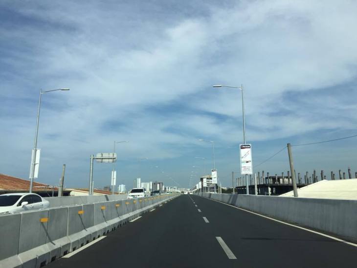
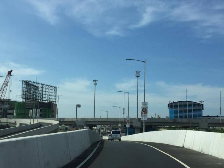
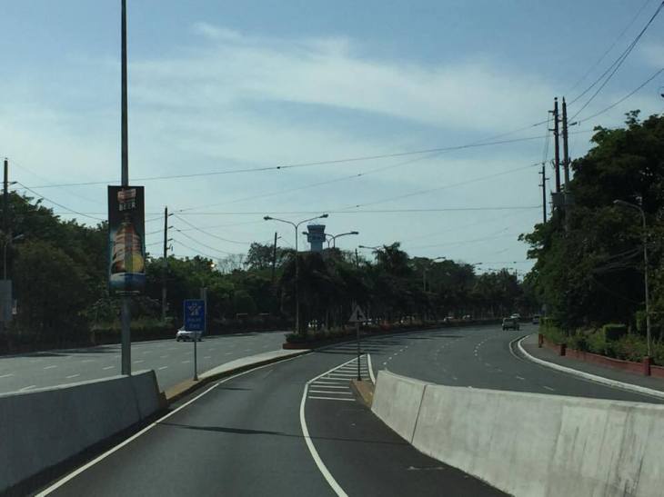
 Two-lane section with neither shoulders nor “elbow room”


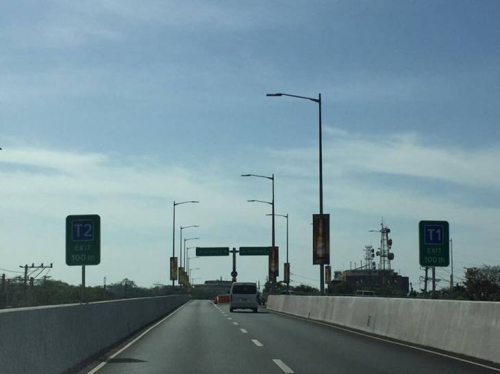
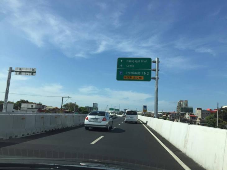 Directional sign providing guidance especially for vehicles headed to Terminals 1 &2
 Directional signs for vehicles bound for Cavite and Macapagal Blvd (left) and Terminals 1 or 2 (right)
 The tollway section goes underneath the section headed towards Macapagal Boulevard and the Coastal Road
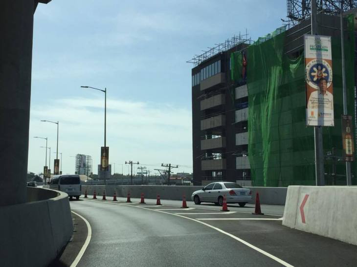 The lane from Terminal 3 merges with another from the Coastal Road
 Signs showing which side to stay along towards either Terminal 2 or 1
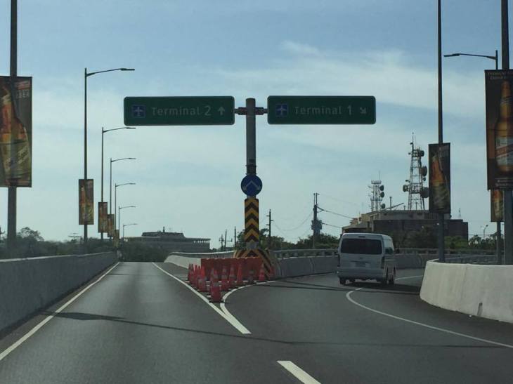 Fork in the road – the tollway branches our to either Terminal 2 or Terminal 1

 Off ramp towards Terminal 2
Next: Terminal 2 to Terminal 3
–
