
Hierarchy of transport modes
To better understand issues regarding our transportation system in the Philippines and elsewhere, I am showing two diagrams that both describe hierarchies of transport modes. The figures illustrate a concept much like our concept of the food pyramid where many if not most could easily understand in terms of what we need more of and less of in terms of proper nutrition. Transpose this concept to transport and we can understand that the most basic mode of transport is and should be on top of an inverted triangle, which represents which modes re to be prioritized over the others. The figure can also be used to symbolize mode shares. In terms of both priority and mode share, walking is the most dominant as we all walk. As such, it is only logical that facilities be provided for everyone to be able to walk safely and efficiently. These facilities include sidewalks, overpasses and underpasses that would encourage walking over other modes (especially the motorized ones). Walking is the most equitable and sustainable among transport modes and is definitely the healthiest.

For public transportation, another diagram may be constructed to show which modes can carry more people. Though the following figure is somewhat customized for Philippine public transport, it does not include multicabs, FX/AUVs, van-type services, and other paratransit modes (e.g., habal-habal, kuliglig, etc.) that are found throughout the country. There should be similar hierarchies in our ASEAN neighbor countries as they also have their indigenous modes like the tuktuks and samlors of Thailand.

Of course, each mode of transport is suitable for different trips with non-motorized public transport (particularly the 3-wheeler pedicabs, trisikad or padyak) being most appropriate for short distance trips though such trips can also be covered by walking. Jeepneys and multicabs are suitable for medium distance travel (~4 to 10 kilomemeters) where ridership is not yet viable for buses but which would have been serviced by too many tricycles. There is a reason from the perspectives of safety and efficiency why pedicabs and tricycles are not encouraged along national roads and jeepneys are not supposed to be plying routes along EDSA and C5.
Going up the hierarchy would have cost implications and rail transit is the most expensive mode in terms of capitalization, operations and maintenance. Of course, there are different type of rail transport services that include light rail to the long distance heavy rail commuter and regional services. As such, these systems require investment as well as foresight for the eventuality of a large, populous urban area ultimately requiring rail transport to carry so many passengers over longer distances. Rail alone would probably be insufficient so it needs to be complemented by bus and perhaps jeepneys as well. The emergence of Bus Rapid Transit (BRT) has provided city and transport planners with a flexible option bridging rail and bus transport in terms of cost and passenger capacities and are now being considered as immediate solutions for travel demand and public transport needs in major cities.
–
Merry Christmas!
Merry Christmas to all!
In this time of celebrations and gatherings among families and friends, may I just remind you – Don’t Drink and Drive! Have a designated driver or take public transportation. Keep our roads safe and make sure there are no tragedies that will make this an unhappy time for you, your kin, your friends and other road users.
–
Hong Kong Airport Express and Shuttle Service
Arriving at Hong Kong International Airport (HKIA), one has several options for travel between the airport and Hong Kong. The taxi is usually an expensive option unless you are with a group and sharing the fare. The most practical option is to take the Airport Express train, which also provides a free shuttle service from its stations at Kowloon and Hong Kong.
Following are a few photos I was able to take of the airport express trip from HKIA to Kowloon Station. I must admit that as we were quite in a hurry to get to our hotels, I was only able to take a few photos between HKIA and Kowloon. I promised to myself to make up for this on my return to the airport on the way back home.
 Waiting for the train – Ms. Vicky Segovia, Executive of the Philippines’ Partnership for Clean Air (PCA), reads a paper while waiting for our Airport Express ride at the platform.
 Baggage compartment – luggage rack inside the airport express train.
 Directional signs – the signs point to the parking lot (for those who parked their vehicles while away on their trips), the trains and the Airport Express shuttle bus.
 HKIA Airport Express shuttle bus counter at Kowloon Station – there are several routes going around Kowloon. One may choose the shuttle according to his/her hotel and there are information to guide the traveler. Shuttle staff are very helpful in case the traveler has doubts about the info he/she has.
 Inside the shuttle bus – there’s space for luggage so travelers don’t have to take their luggage with them to their seats. There’s only the driver to help travelers with their luggage but he does well in arranging luggage so people would have enough space.
 Luggage rack inside the shuttle – larger bags go under and smaller ones go up. Hand-carried luggage are best taken by the traveler.
More about the Airport Express later…
–
Another look at the HKIA – arrivals
Writing about the Hong Kong International Airport in a previous post, a friend pointed out that I needed to explore the airport to see the other terminals and its amenities. Having used Changi so frequently the past 2 years, I had been quite partial towards Singapore’s airport. And so I made sure I had the time to go around HKIA, particularly upon my return trip to Manila. Following are some photos taken upon our arrival at the airport early this December.
 Arriving at the airport, people rush towards immigration expecting long lines at one of the busiest international airports in the world
 Moving walkway helps people get around the huge airport terminal
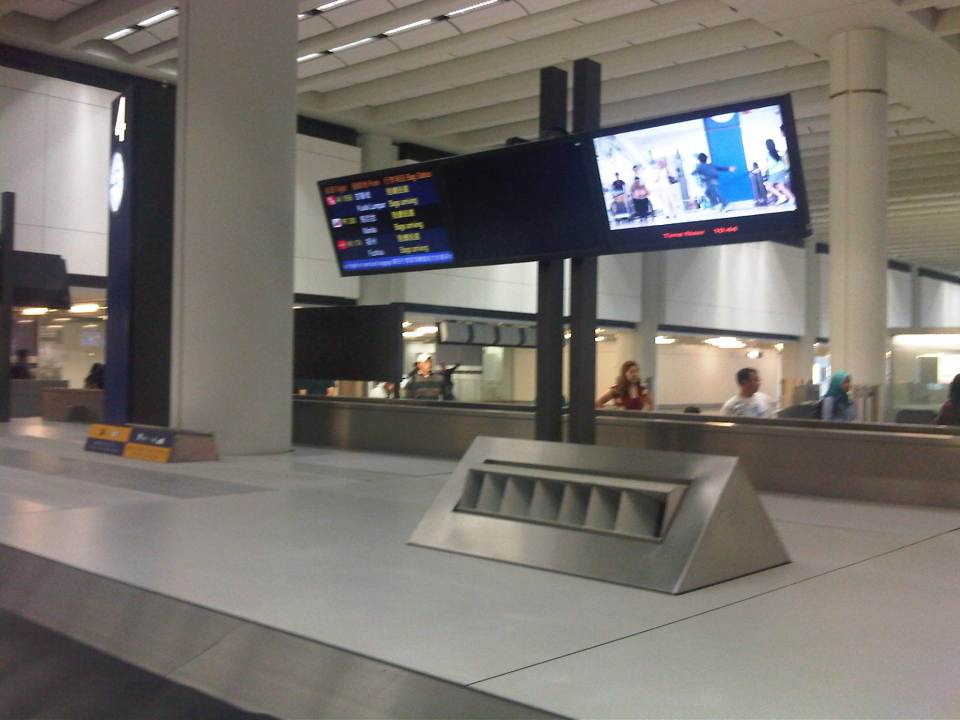 Baggage claim area is spacious and organized
 Arrival lobby is sparkling clean and could accommodate passengers and well-wishers without getting crowded
 Another look at the arrival area at HKIA showing travelers congregating with their baggage in tow. Around them are shops, visitor information/tourism counters, restaurants and foreign currency exchange counters.
 Directional signs and other information are available to travelers and well-wishers. The first time visitor will not have a hard time navigating around the airport.
 Directions to the HK Airport Express Trains. The trains are the more inexpensive options to go to Hong Kong from the airport, which is on a separate island. Taking the train to either Kowloon or Hong Kong Station, one may take the free shuttle bus services going around the districts with stopovers at most major hotels.
 HK Airport Express platform – one may purchase one-way or two-way tickets at counters or machines at the airport. A ticket to Kowloon Station costs 90 HKD (one way).
More on HKIA and the Airport Express later…
–
Let there be light
Driving home after our office’s Christmas Party, I couldn’t help but notice the difference in illuminations between sections of Marcos Highway from Santolan in Pasig City until Masinag in Antipolo City. The stretch from Santolan until Sta. Lucia Mall is relatively dark with the only light coming from vehicles or the establishments along the roadside. The vicinity of the LRT 2 Santolan Station benefits from the lighting of the elevated station, the pedestrian overpass and the medium-rise residential development nearby. It is actually quite dark right after the LRT 2 Station where vehicles stand along the roadside waiting for passengers coming out of the trains terminating at station. Some sections benefit from the presence of 24-hour gas stations and the Robinson’s and Sta. Lucia Malls near the intersection with Imelda Avenue. But for most sections, it is quite dark, which tends to discourage walking and cycling along the highway. The photo below that I quickly took with my phone pretty much describes the lighting conditions along Marcos Highway along a section that’s supposed to be a shared responsibility among the Cities of Pasig and Marikina. There are lamp posts along both sides of the road, courtesy of the rehabilitation works for Marcos Highway that was completed earlier this year. But all seem to be switched off.
 Typical dark section of Marcos Highway from Santolan to Imelda Avenue.
Meanwhile, quite noticeable is the illuminated stretch from Imelda Avenue to Masinag, where Marcos Highway intersects with Sumulong Highway. Lights from the lamp posts along both sides of the highway are all switched on, giving travelers (motorists, pedestrians and cyclists) the benefit of a well-lighted facility through which they could travel safely, at least from the perspective of illumination. One can actually turn off his headlights (though I don’t recommend it) and you won’t really notice the difference because of the lights from the lamp posts. The following photo is another quick shot taken right after the U-turn slot across from the Burger King branch along the highway. The section is within the limits of the Municipality of Cainta and further on, the City of Antipolo, both in Rizal Province and technically outside Metro Manila.
 Typical illuminated section of Marcos Highway
It has already been established that poorly lighted roads lead to road crashes even as it has been established that nighttime crash rates are higher than daytime rates (AASHTO, 2003). There is also evidence that fixed-source lighting can reduce the incidence of crashes particularly along urban streets where there are many intersections and major arterials such as Marcos Highway. In the Philippine setting, illumination also enhances safety and security for pedestrians and cyclists and would definitely encourage the development of a culture of walking. In the case of Marcos Highway, there are already pedestrian and cycling lanes separate from the carriageway. However, these are poorly illuminated along significant sections such as the Santolan to Imelda sections where perhaps people can have the option to walk to and from the LRT station. They are discouraged though because of the risks associated with dark places and so end up waiting for a jeepney ride instead of walking what is actually an acceptable (walkable) distance. Perhaps Pasig and Marikina, two cities currently advocating walking and cycling, should look into this issue in coordination with the DPWH, which has jurisdiction over the national highway. If Rizal’s Antipolo and Cainta can do it, I don’t see why Marikina and Pasig can’t.
–
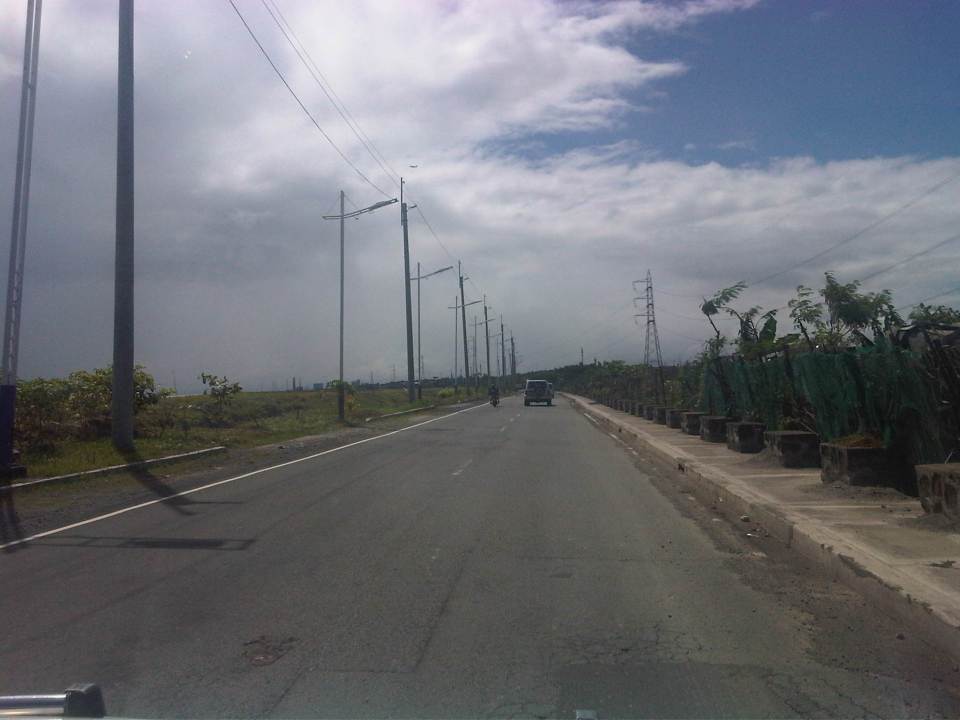
Circumferential Road 6: a first look
I got my first look at a road section that’s part of what is supposed to be Circumferential Road 6. C-6 would probably be the last of the circumferential roads to be conceptualized and, sometime in the far future, to be completed. It is not mentioned in the original plan for Manila that had major roads arranged in what is called a “wheel and spoke” layout that the architect Daniel Burnham was supposed to have applied in planning Manila. Many years later and the transformation of the area into a metropolis comprised of many cities that is now called Metro Manila (some already consider the area a megalopolis and use the term Mega Manila to include cities and municipalities in adjacent provinces), there are 10 radial roads (R-1 to R-10) and 6 circumferential roads (C-1 to C-6).
 An old map showing one of the possible alignments of C-6 – the current alignment being considered will be closer to the the coast of Laguna de Bay and will be to the east and north of the La Mesa reservoir rather than to the south and west of the latter.
While most of these have practically been completed with only a few segments here and there that need to be constructed or connected like C-5’s, C-6 is somewhat a latecomer whose alignment, while laid out on paper and mentioned in several plans and reports, is still being discussed considering its location in the fringes of Metro Manila. In fact, much of it will probably be constructed outside Metro Manila and not on the most favorable of terrains. There are even proposals for sections of C-6 to be elevated and tolled. Toll fees would probably make sense if the intention is to have a circumferential expressway with limited access (ramps and interchanges). Following are photos taken from Seagull Avenue to Gen. Santos Avenue in Taguig City.
 Approach to the intersection with Seagull Avenue, which is connected to M.L. Quezon Avenue, which is in turn connected to Gen. Luna Street.
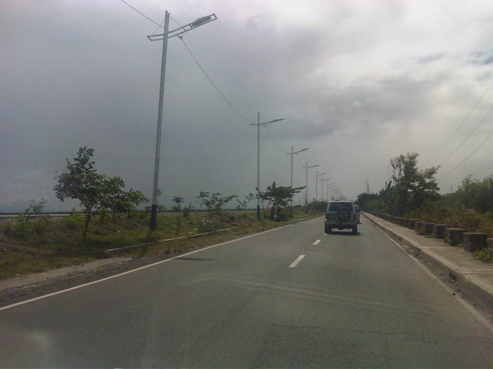
 Turning right towards Bicutan, we found that C-6 is a two-lane, undivided road. At this section, there are no road markings although pavement is of good condition.
 Noticeable along the roadside are concrete barriers similar to those found along highways in Central Luzon that are in areas prone to flooding. Flood waters are allowed to go through or across the section and the barriers keep large debris away from the roads while also keeping vehicles from “drifting” out of the highway.
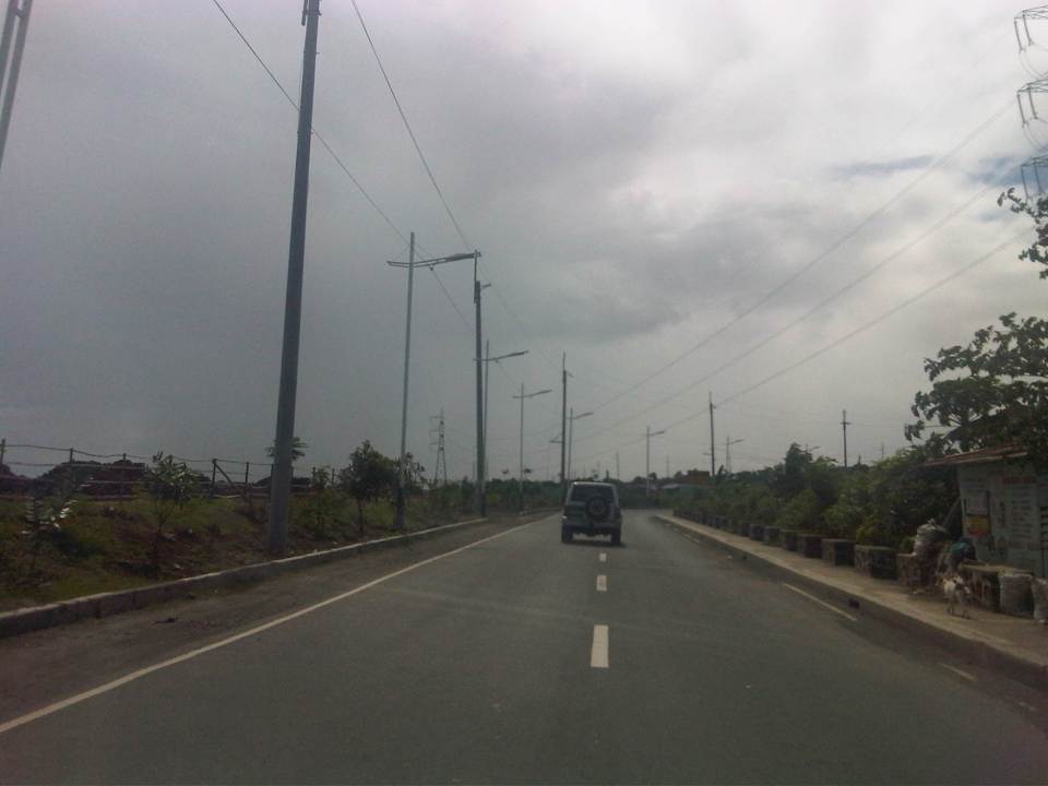
 Pavement markings finally appear along C-6. While many motorists don’t seem to mind their absence, they are actually important from the perspective of road safety as they serve to guide motorists along the road, particularly to stay within their lanes.
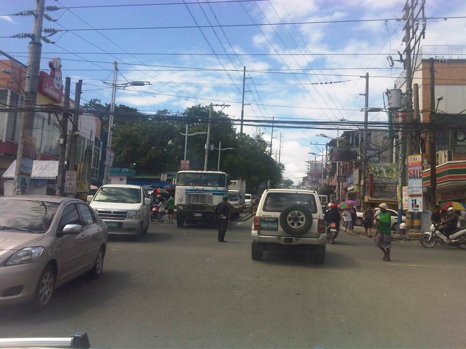
 Tricycles, like the one in the photo don’t seem to be in significant numbers along C-6. This is probably because there are few developments along the road. Most developments are along M.L. Quezon Ave., which is an old road that stretches along parallel to the Laguna de Bay coast.
 There are several pumping stations located along C-6 and these are used mainly for flood control (i.e., pumping water from the waterways in Taguig to the Laguna de Bay, which is just across the road). Laguna de Bay is on the other side of the dike along the left of the highway in the photo.
 Power lines and street lamps along C-6. The lamps remind of similar designs in Cebu City and Pasay City. I’m not so sure about the aesthetics but they do seem a little flimsy for lamps located along the lakeshore. I do hope they illuminate well at night time and during inclement weather.
 There is a dike along this entire length of the section of C-6. Once in a while, one will see fishermen walking atop the dike towards their bancas that are moored or grounded along the shore.
 We noticed light traffic as we traveled along the entire length of road from Seagull Ave. to Gen. Santos Ave. Not so many people seem to be using the road despite it being a direct route from Rizal Province to Taguig. I have to try driving from Antipolo or Taytay and crossing the bridges at the mouth of the Pasig River and the Manggahan Floodway to Fort Bonifacio one of these days.
 I mentioned that most lands along C-6 are undeveloped. This probably explains why traffic is quite light. At present there seems to be no direct/straightforward route connecting C-6 with C-5. In our case, we had to go through a maze of sorts between the two roads via Levi Mariano Ave., Gen. Luna Street, M.L. Quezon Avenue, and Seagull Avenue. The shortest path seems to be one through the DMCI developments in Taguig but roads there are private and presently for the exclusive use of their residents.
 At present, C-6’s southern end is at its junction with M.L. Quezon Avenue in Bicutan, where C-6 turns and becomes Gen. Santos Avenue. Traveling through the road shown above will lead people to the Bicutan interchange of SLEX.
–
Parking issues in the Philippines
Saw this report from the GMA News YouTube channel that appeared in several of their news programs in Channels 7 and 11. It’s a good report as it is informative and the reporter did sufficient research on parking provisions stipulated in the Philippines’ National Building Code. I also found it interesting that one mall in Manila is already using an automated parking facility such as the one shown in the report. These multilevel parking facilities maximize the space required for slots and do not require much space for ramps or driveways. They are already found in cities in many other countries and should be considered in many other cities in the Philippines that are now facing parking problems.
Establishments such as shopping malls and other commercial areas are significant traffic generators. One aspect of trip generation is parking generation, and malls attract many people who tend to use private vehicles as their means for travel. This is especially true in Metro Manila and other major cities in the country where there are limited choices for public transport. For one, it is not so convenient nor comfortable for people taking public transport in Metro Manila. And so, a lot of people would bring their cars or motorcycles for shopping trips.
There is little information or data on parking generation characteristics in the country and it is unclear if the National Building Code’s provisions are sufficient. The NBC’s prescribes the number of minimum parking spaces for establishments but these are already being violated by many, which brings us to question the manner by which authorities approve designs for buildings given this requirement for parking.
–
Suvarnabhumi Airport check-in
I forgot to post a few more photos of my recent trip to Bangkok where I was able to explore its large Suvarnabhumi International Airport. I will write more about the airport in installments to describe the airports features in more detail. For this post, the following photos show the entrance, check-in and pre-immigration areas. Taking photos at the immigration areas is not allowed so I didn’t take a chance to take photos there as I might be accosted by authorities.
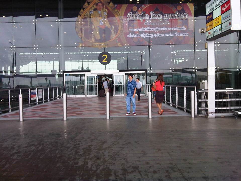 Entrance to the airport from the driveway – we took a taxi from our hotel. There were four of us and some had a little shopping so it wasn’t convenient to take the train to the airport.
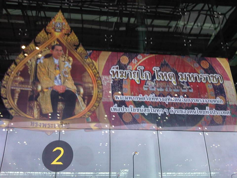 Greetings from His Royal Majesty, the King of Thailand – the Thais are proud and very respectful of their king.
 Check-in counters for the full service airlines – we traveled via Thai Airways, which is currently one of the best airlines in the world.
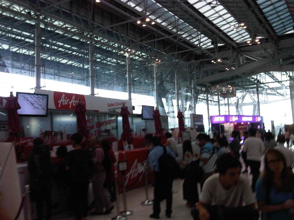 Ticketing counters for budget airlines – I found it quite unusual that the ticketing counters for some budget airlines like AirAsia was along what should have been a wide corridor leading from the entrance to the check-in counters.
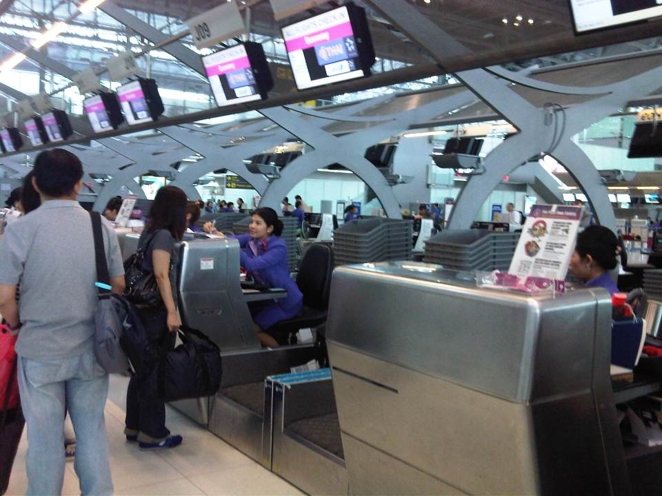 Thai Airways check-in – I had already checked-in prior to arriving at the airport for my return trip, thanks to the online check-in feature of the airline, so I just had to drop off my luggage for tagging. Others who were just checking-in to get their seats and drop off their luggage had to go through the usual procedure.
 Information board for departing passengers provide directions
 After checking-in, people have the option to shop, eat or proceed to immigration to enter the pre-departure area where there are more shops, restaurants and the airline lounges.
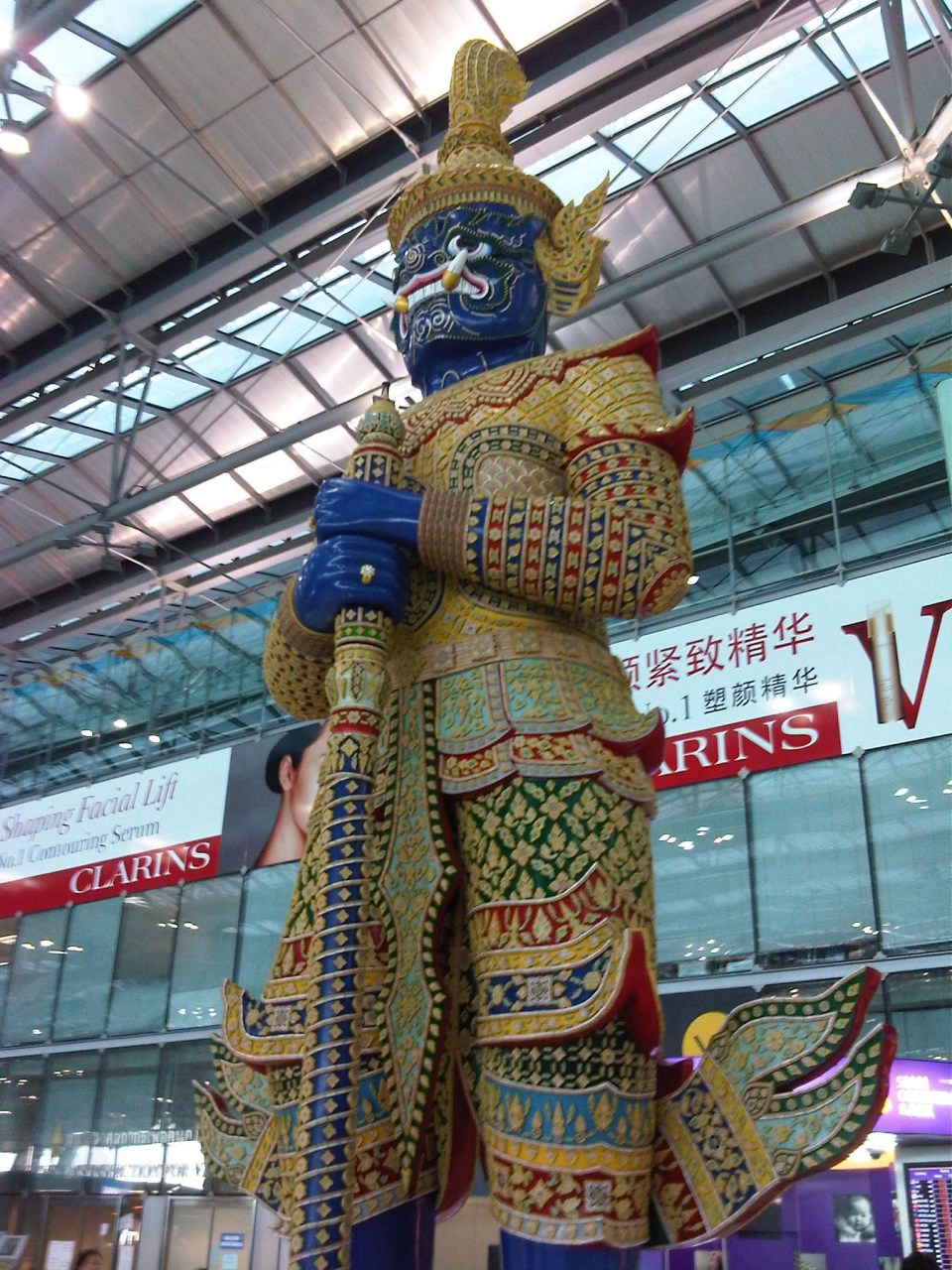 Sentinel? – among the things I like about Suvarnabhumi are the features such as this that define the airport in as far as character is concerned. It is a modern airport and yet they were able to infuse Thai culture wherever its possible. A similar case may be found in Bali and I hope they’re able to retain that airport’s character with their new terminal (under construction when I was in Bali last February 2012).
More on Suvarnabhumi Airport later!
–
New Director of UP’s National Center for Transportation Studies
The National Center for Transportation Studies (NCTS) of the University of the Philippines (UP) has a new head. Dr. Hilario Sean O. Palmiano formally took over the reins of the NCTS from Dr. Jose Regin F. Regidor. Dr. Palmiano is an Assistant Professor of the Institute of Civil Engineering of the UP College of Engineering. He obtained his doctorate and master’s degrees from the Tokyo Institute of Technology (Tokyo Tech) and his baccalaureate degree in Civil Engineering from UP Diliman. His researches are mainly on road safety and non-motorized transport.
 Staff and Fellows of the National Center for Transportation Studies with its new Director, Dr. Sean Palmiano, in the center of the front row. Also in the photo are former Directors, Dr. Ricardo Sigua, Dr. Hussein “Tho” Lidasan and Dr. Regin Regidor. At center of the 2nd row is Dr. Mario Delos Reyes, current Dean of UP’s School of Urban and Regional Planning (SURP).
–
Still know nothing about me
Enjoying the performances at the Sting concert the other night, I couldn’t help but remember the couple of pingbacks this blog recently received from some hecklers (or trolls?) who obviously didn’t understand what I wrote about the AGT currently being tested at the UP Diliman campus. Calling me a “so-called” expert in transport gets my attention but then I’m not the sort of person who’s insecure about my experiences, talents and skills so I’d rather dedicate a song to these fellows. Just a tip… try to read the other articles in the blog to better understand how and why I write about topics on transport and traffic before you make your conclusions about what’s been written.
