
I got my first look at a road section that’s part of what is supposed to be Circumferential Road 6. C-6 would probably be the last of the circumferential roads to be conceptualized and, sometime in the far future, to be completed. It is not mentioned in the original plan for Manila that had major roads arranged in what is called a “wheel and spoke” layout that the architect Daniel Burnham was supposed to have applied in planning Manila. Many years later and the transformation of the area into a metropolis comprised of many cities that is now called Metro Manila (some already consider the area a megalopolis and use the term Mega Manila to include cities and municipalities in adjacent provinces), there are 10 radial roads (R-1 to R-10) and 6 circumferential roads (C-1 to C-6).
 An old map showing one of the possible alignments of C-6 – the current alignment being considered will be closer to the the coast of Laguna de Bay and will be to the east and north of the La Mesa reservoir rather than to the south and west of the latter.
While most of these have practically been completed with only a few segments here and there that need to be constructed or connected like C-5’s, C-6 is somewhat a latecomer whose alignment, while laid out on paper and mentioned in several plans and reports, is still being discussed considering its location in the fringes of Metro Manila. In fact, much of it will probably be constructed outside Metro Manila and not on the most favorable of terrains. There are even proposals for sections of C-6 to be elevated and tolled. Toll fees would probably make sense if the intention is to have a circumferential expressway with limited access (ramps and interchanges). Following are photos taken from Seagull Avenue to Gen. Santos Avenue in Taguig City.
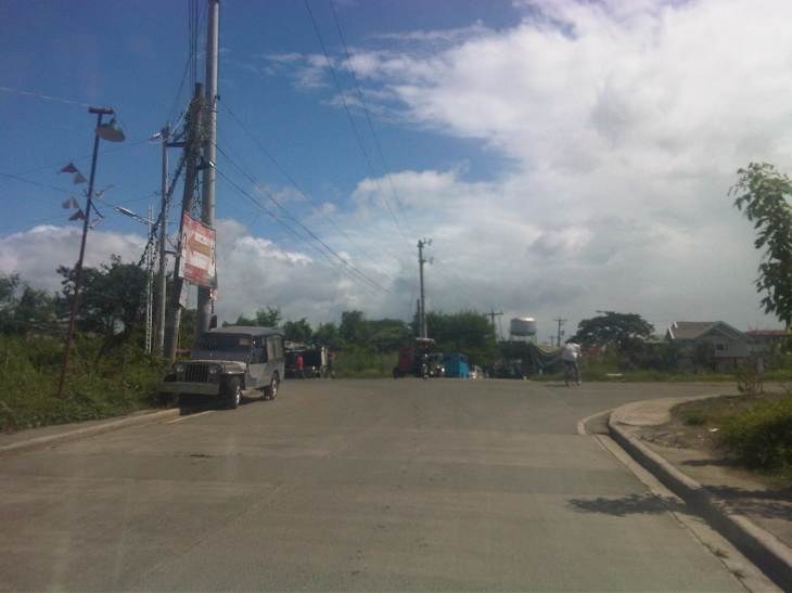 Approach to the intersection with Seagull Avenue, which is connected to M.L. Quezon Avenue, which is in turn connected to Gen. Luna Street.
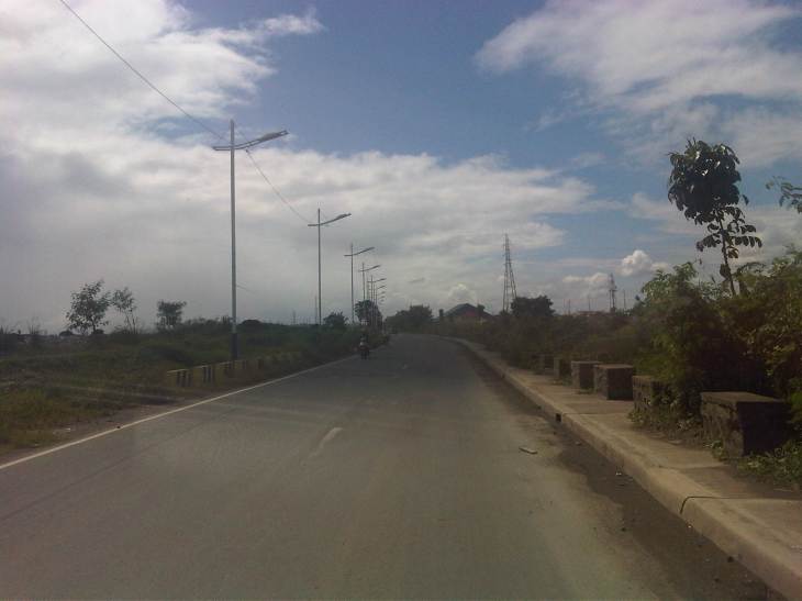
 Turning right towards Bicutan, we found that C-6 is a two-lane, undivided road. At this section, there are no road markings although pavement is of good condition.
 Noticeable along the roadside are concrete barriers similar to those found along highways in Central Luzon that are in areas prone to flooding. Flood waters are allowed to go through or across the section and the barriers keep large debris away from the roads while also keeping vehicles from “drifting” out of the highway.
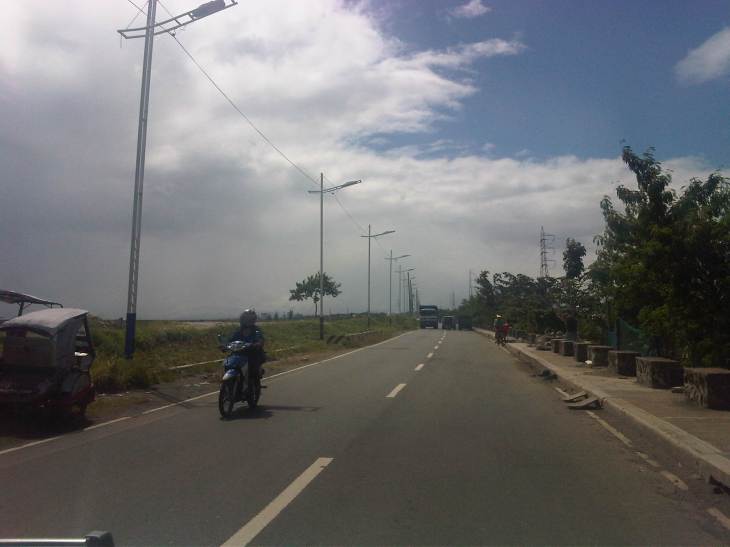 Pavement markings finally appear along C-6. While many motorists don’t seem to mind their absence, they are actually important from the perspective of road safety as they serve to guide motorists along the road, particularly to stay within their lanes.
 Tricycles, like the one in the photo don’t seem to be in significant numbers along C-6. This is probably because there are few developments along the road. Most developments are along M.L. Quezon Ave., which is an old road that stretches along parallel to the Laguna de Bay coast.
 There are several pumping stations located along C-6 and these are used mainly for flood control (i.e., pumping water from the waterways in Taguig to the Laguna de Bay, which is just across the road). Laguna de Bay is on the other side of the dike along the left of the highway in the photo.
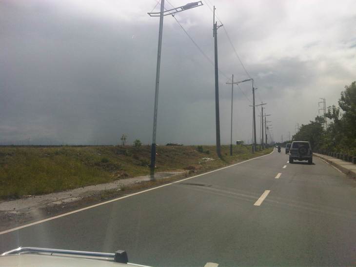
 Power lines and street lamps along C-6. The lamps remind of similar designs in Cebu City and Pasay City. I’m not so sure about the aesthetics but they do seem a little flimsy for lamps located along the lakeshore. I do hope they illuminate well at night time and during inclement weather.
 There is a dike along this entire length of the section of C-6. Once in a while, one will see fishermen walking atop the dike towards their bancas that are moored or grounded along the shore.
 We noticed light traffic as we traveled along the entire length of road from Seagull Ave. to Gen. Santos Ave. Not so many people seem to be using the road despite it being a direct route from Rizal Province to Taguig. I have to try driving from Antipolo or Taytay and crossing the bridges at the mouth of the Pasig River and the Manggahan Floodway to Fort Bonifacio one of these days.
 I mentioned that most lands along C-6 are undeveloped. This probably explains why traffic is quite light. At present there seems to be no direct/straightforward route connecting C-6 with C-5. In our case, we had to go through a maze of sorts between the two roads via Levi Mariano Ave., Gen. Luna Street, M.L. Quezon Avenue, and Seagull Avenue. The shortest path seems to be one through the DMCI developments in Taguig but roads there are private and presently for the exclusive use of their residents.
 At present, C-6’s southern end is at its junction with M.L. Quezon Avenue in Bicutan, where C-6 turns and becomes Gen. Santos Avenue. Traveling through the road shown above will lead people to the Bicutan interchange of SLEX.
–
