
Home » Infrastructure (Page 27)
Category Archives: Infrastructure
Another revolution needed along EDSA?
One of the most powerful images of EDSA that sticks to anyone’s mind is one where you see hundreds of thousands of people occupying the sections near what is now a shrine dedicated to the People Power Revolution that led to the ouster of Ferdinand Marcos in 1986. Perhaps a more recent version of this image is another associated with a People Power 2 that ended the term of another Philippine President, Erap Estrada, in 2001. The latter had in the background the newly operational MRT-3 as well as the overpasses at the intersection of EDSA-Ortigas that were built after 1986. These images are now mostly replaced by those depicting EDSA as one huge parking lot for cars during peak periods that seem to stretch beyond the typical morning and afternoon hours. A couple of photos are reproduced below showing day time and night time traffic congestion along the stretch of EDSA from Ortigas to Camp Aguinaldo.
 Afternoon congestion along the section of EDSA between Ortigas and Santolan. Note that even the overpasses are full of vehicles. Camp Aguinaldo is the green area on the top right.
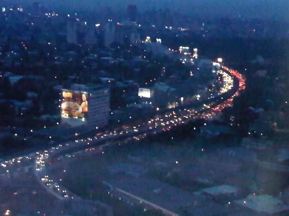 Traffic congestion along the same section of EDSA at night. The head and tail lights represent the motor vehicles crawling along the highway.
Already the Metropolitan Manila Development Authority (MMDA) has tried so many schemes along EDSA but mostly to regulate bus traffic. These have included various versions of dispatching schemes including a failed foray into the use of RFIDs. The current system that was launched in January is another attempt that we hope to be more successful than the previous ones. Already, the system has been able to weed out drivers with multiple traffic violations. There are many more of these drivers behind the wheels of public transport vehicles who probably shouldn’t be driving such vehicles as they put their passengers at risk of being involved in road crashes. Incidentally, such traffic violations associated with the different private bus companies operating in Metro Manila have been the subject of an interesting discussion during one congressional inquiry on public transport franchises where the MMDA reported hundreds if not thousands of traffic violations attributed to various bus companies.
The MMDA is limited by its mandate in so far as buses are concerned. It is the Land Transportation Franchising and Regulatory Board (LTFRB), which has the responsibility to address franchise violations and enforce rules in such a way that the agency could influence bus companies to improve their services. However, the MMDA is not at all helpless here as they are in the best position to petition for sanctions against erring bus companies based on their data on traffic violations. Such obviously constitute a violation in the franchise particularly where reckless or irresponsible driving exposes their passengers and the general public to risks in the form of road crashes. Such crashes can translate into losses of lives, injuries or significant damages to property.
The Department of Public Works and Highways (DPWH) has proposed an elevated highway on top of EDSA. This is supposed to have been inspired by similar elevated expressways found in other principal metropolitan areas including those in Tokyo. Would it solve the problem of traffic along EDSA? Probably in the short run after its opening but likely not in the long run as the elevated highway will rapidly become congested much like the experience with C-5. An elevated highway will also require ramps at many of EDSA’s intersections with other major highways and congested on the ground will lead to the condition spreading to the elevated sections.
The planned rehabilitation of EDSA is overdue. However, it has met a lot of opposition and mixed signals from various sectors including the MMDA itself, which is supposed to work with the DPWH in finding a solution for Metro Manila’s busiest thoroughfare. It seems that the MMDA is perhaps more interested in pursuing another elevated highway project, the Skybridge, which would be along a corridor on top of the San Juan River. Curiously, the objective of this other proposal is to have another alternate route to EDSA or simply “to decongest EDSA.” While well meaning, I have the gut feeling it won’t have a tremendous impact as it will still cater mainly to private cars. How about the commuters who comprise 70 to 80 percent of travelers along EDSA but only have about 30 percent of the road? We have to realize that only by keeping people, who do not need to drive, on public transport can we effectively decongest our roads. It is when they start using cars or motorcycles that our road space become all the more limited.
Meanwhile, the Department of Transportation and Communications (DOTC), the agency which is supposed to come up with the solutions to our transport problems has not been as active as it should be on the topic of EDSA. To be fair, the agency seems to be working on the acquisition of additional coaches to address the also overdue capacity expansion for the MRT Line 3. However, it also seems that now worries that the line was poorly planned in the sense that it failed to anticipate the present transport demand, has been validated. MRT Line 3 is really a light rail transit line that was built along EDSA despite the need for a higher capacity system. But is it too late to upgrade this system? Or do we need another to supplement or complement the MRT 3?
Perhaps what is needed along EDSA is another revolution but one of the sustainable transport kind. “Sobra na! Tama na! Palitan na!” were cries in 1986 that are now very much applicable to the transport system we have along EDSA. It will not be an easy nor an inexpensive task to upgrade the MRT-3 into a higher capacity system required along this corridor. But opportunities are now available to ease the burden along the line. The emergence of bus rapid transit (BRT) as a viable option along EDSA would have to be explored. But a BRT cannot be simply installed along the corridor. The government would also have to be firm with the conventional buses plying routes that all seem to be overlapping along EDSA. These routes would have to be simplified along with the numerous companies that would have to be encouraged to form consortia (or cooperatives?) that can participate in a MRT-BRT-bus integrated network. The question now is who will champion or lead such a revolution for transport? Who will be progressive enough to lead us into an era of modern transport that should be inclusive, environment-friendly, and promotes “dignity of travel” for all?
–
Another what if: Rapid Transit Railway for Metro Manila
I posted a map on my FaceBook page showing the lines of a railway network for Metro Manila proposed about 40 years ago. The map, which I reproduce below, was produced from the original featured in the Final Report of the Urban Transport Study in Manila Metropolitan Area (UTSMMA) that was completed in September 1973. To enhance the image, I traced the lines and provided some color. I also indicated the intersections among the lines that are potentially common stations for the network. The study was funded by what was then the Overseas Technical Cooperation Agency of Japan, the predecessor of the Japan International Cooperation Agency (JICA). The study recommended for a Rapid Transit Railway (RTR) system for Manila.

The main routes of a mass transit system was recommended by UTSMMA to be restricted to railways in the form of subways in the inner area bound by what was then called Highway 54 (C-4 or EDSA) and elevated trains outside in the suburban areas. The study recognized the important roles of buses and jeepneys while recommending that these serve feeder routes once the railways were completed. Following are descriptions of the Lines including their lengths:
- Line 1 (27.1 km) – from Construction Hill to Talon via central Quezon Boulevard, Manila downtown and the International Airport
- Line 2 (36.0 km) – from Novaliches to Cainta via Manila downtown and Pasig
- Line 3 (24.3 km) – Along Highway 54 (C-4): half a circle route about 12 km from Manila downtown
- Line 4 (30.1 km) – From Marikina to Zapote via Cubao, Manila downtown and the Manila Bay area
- Line 5 (17.6 km) – From Meycauayan to Manila downtown running between Line No. 2 and PNR
- PNR improvement (56.4 km) – From Bocaue to Muntinglupa via Tutuban Station
Curiously, a Feasibility Study for Line 1 was completed in June 1976 but unfortunately (or tragically) plans for the implementation of the network were apparently scuttled after a subsequent study that included a land use component. This was the Metro Manila Transport, Land Use and Development Study (MMETROPLAN) that was completed in February 1977, which came up with the following assessment:
“Heavy Rapid Transit (HRT) would provide public transport passengers with much faster journey, but by 1990 would attract only 2.5% of motorists and would have negligible impact on traffic congestion. Partly because of this and partly because of its very high capital cost, it would be hopelessly uneconomic: the annualized capital costs would be higher than the estimated benefits in 1990…passenger flows are not high enough to exploit its full capacity…and the large savings in time for public transport passengers are not given a high value in Manila, and are not high enough to persuade motorists to change mode.
These results are conclusive , and are unlikely to be changed by any circumstances or reasonable assumptions…it is clear that any other fully segregated public transport system, whether light rail or busway, would also be uneconomic. As such systems would require the appropriation of most, if not all, of the available funds for all transport (including highways) in Metro Manila for the foreseeable future, and as there is not other rationale for their implementation, they have been rejected from further consideration.” (MMETROPLAN, Final Report, 1977)
Looking back and then making a rapid assessment of what is now Mega Manila, we now know that this conclusion in 1977 was so off the mark. Further, the assumptions then that included restricted development in areas such as the Marikina Valley were not realized; resulting in a sprawl and population distribution that pretty much requires the RTR system recommended in 1973. We also now know that such a system could have been a game changer in terms of how we commute and how lands were developed along those transit corridors. I would even be brave enough to state that a subway system could have forced us to invest in a comprehensive drainage system to prevent flooding that could also have had tremendous benefits now in these times of Ondoy and Habagat with heavy rains often wreaking havoc on Metro Manila.
–
Suvarnabhumi departure
This is actually a continuation of a previous post on Thailand’s main international airport. In the previous post, I featured checking-in at Suvarnabhumi International Airport. In an even earlier post, airport railway access was featured. Following are photos I’ve taken while exploring the airport again eight years after my last visit to Bangkok.
 After clearing immigration, the traveler is greeted by this attraction, presenting additional photo opportunities to tourists.
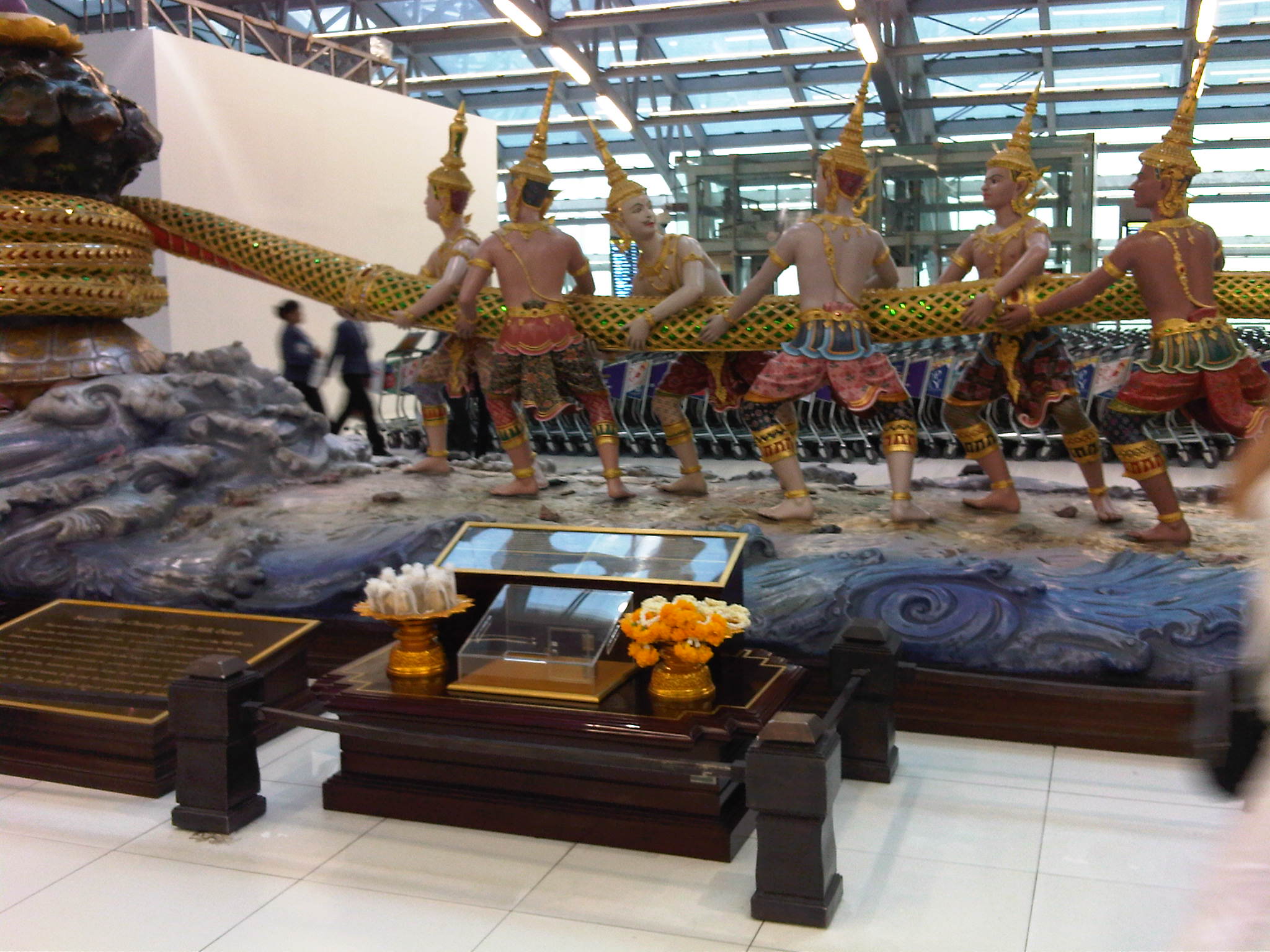 The scene is is religious in nature and there is an explanation on a plaque in front and at the center of the life-size display. Unfortunately, I wasn’t able to take a photo of the plaque.
 Duty free shops line both sides of the corridor to the boarding gates.
 Tourists will be happy to find more photo opportunities as they explore the airport or walk towards their boarding gates. This gazebo-like feature in the airport is a curiosity given its contrast against backdrop of the modern interiors of the airport.
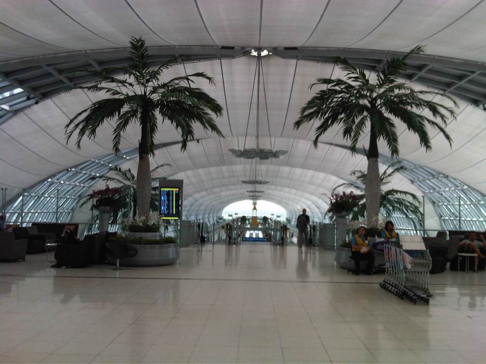 Natural features in the airport include these palm trees serving as sentinels to the escalators to the boarding gates.
 Cavernous terminal is emphasized in this photo taken during my descent via escalator.
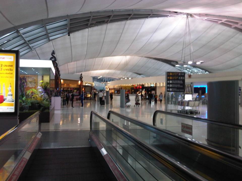
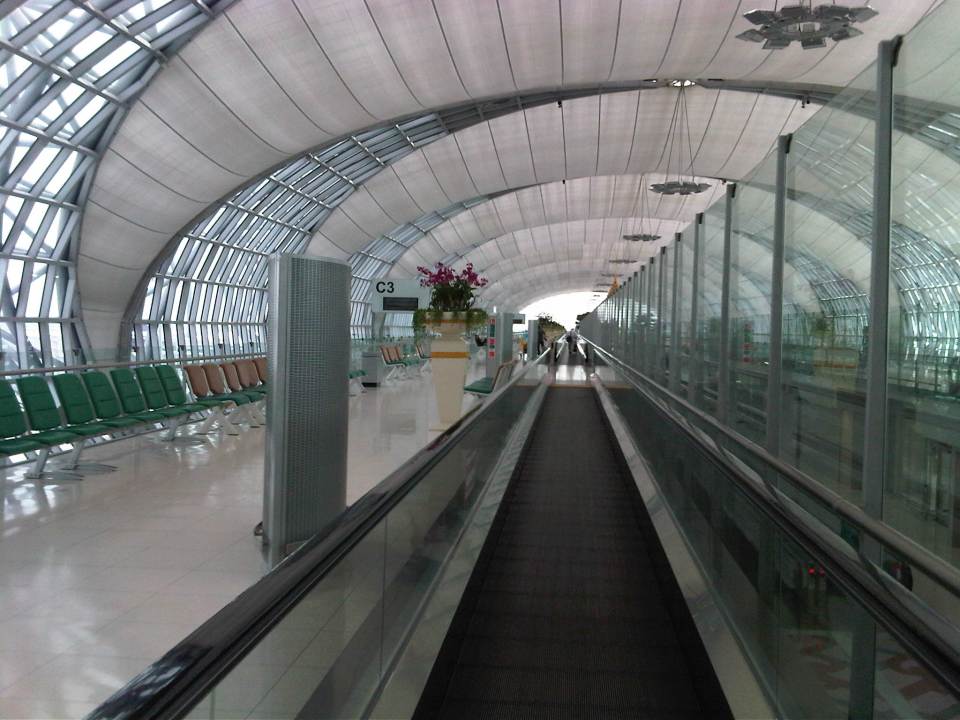 The moving walkway helps people get to their boarding gates, which may be located at the farther parts of this linear airport terminal layout.
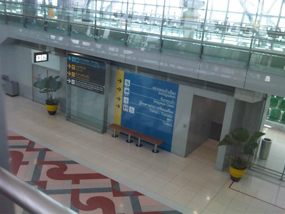 The departure level is on the upper level concourse so as to separate arriving and departing passengers. The photo gives a view of the lower level corridor for arriving passengers.
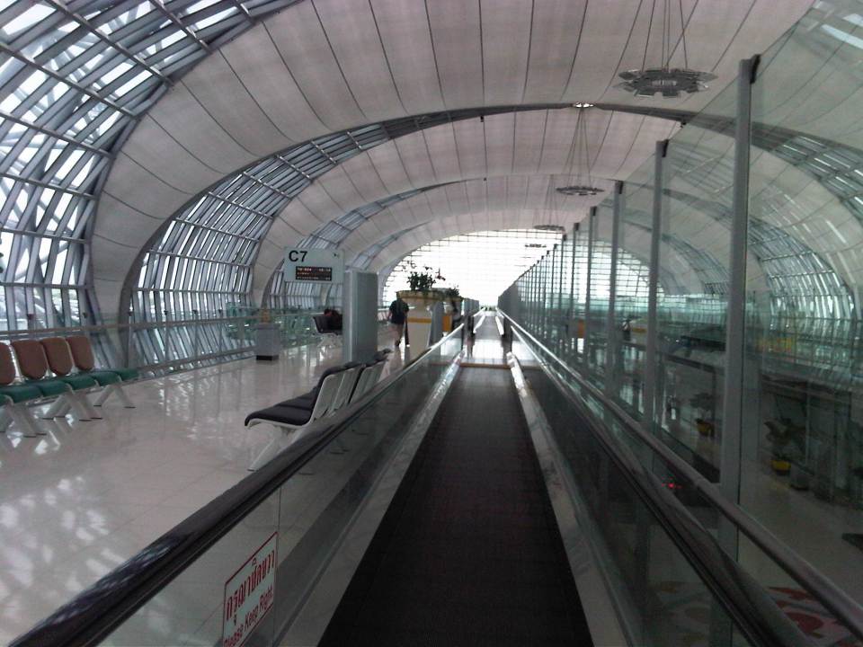
 The terminal building is linear and requires several moving walkways.
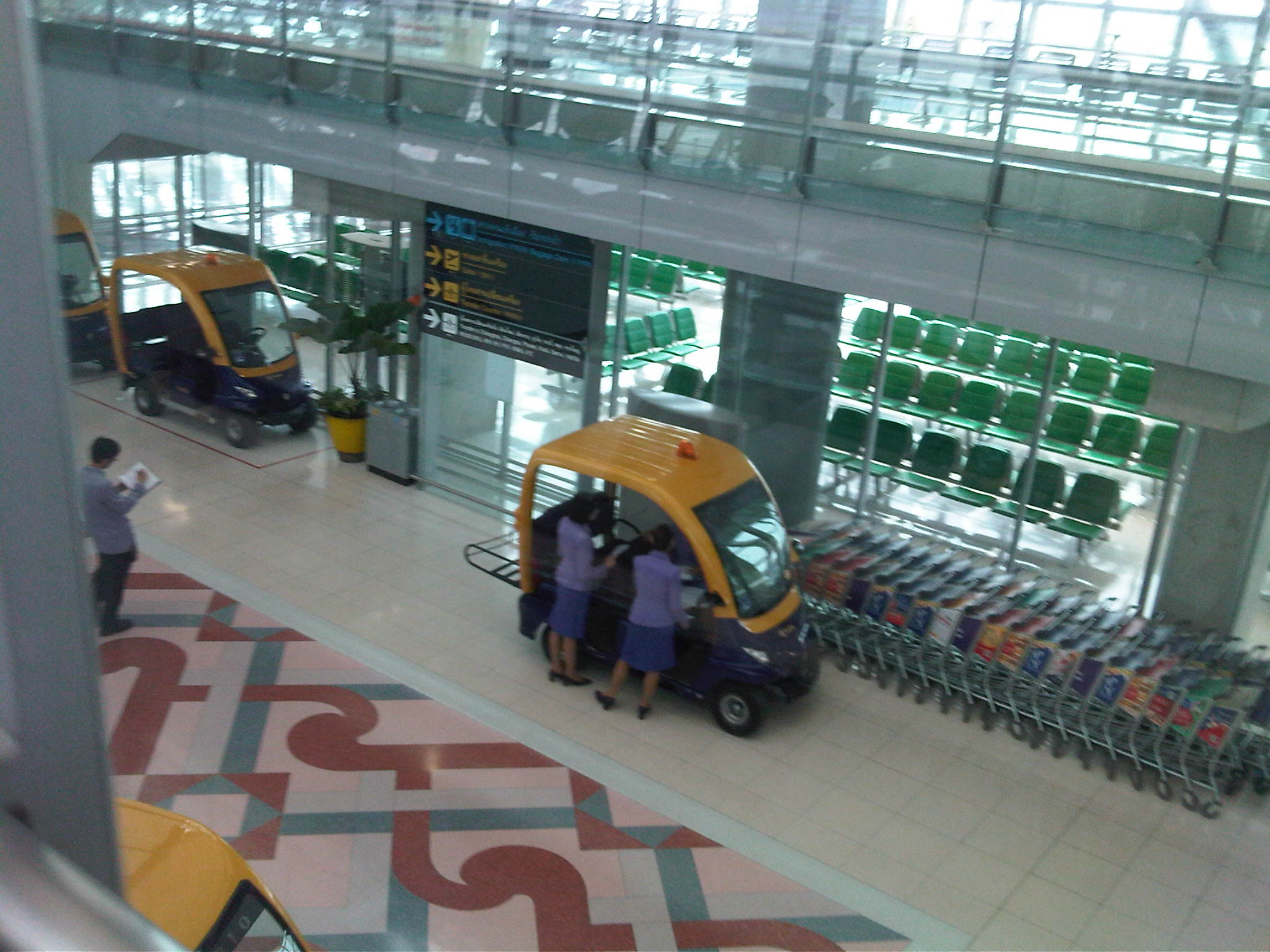 There are electric service vehicles at the airport but these are mainly for the use of airport staff.
 Another photo opp feature at the airport for last minute pictures reminds me of the royal palace.
 Another view of the attraction. The trees are real.
 End of the line? – my boarding gate appeared to be the second to the last gate along this wing of the airport. I found this unusual and a bit inconvenient considering I flew on Thai International Airways. International airports would usually provide the more convenient gates for their national airlines.
 Waiting area for departing passengers as seen by someone descending the stairs.
 Access to the waiting area is via staircase shown in the photo.
–
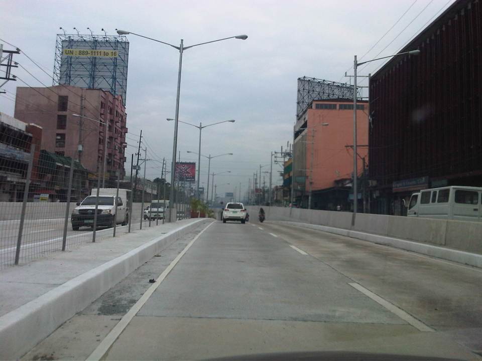
Completed Quezon Avenue-Araneta Avenue underpass
The underpass along Quezon Avenue at its intersection with Araneta Avenue was finally completed and opened to traffic last September 28, 2012. It is perhaps one of the most anticipated inaugurations of infrastructure for Metro Manila and not an anti-climactic one like what was hyped as the completion of the loop formed by MRT3 and LRT1 a few years ago. That didn’t turn out well as we now know there is no loop at all with real connection of the two rail lines. But that, as they say, is another story worth another post or two.
Based on reports from different people including our office’s drivers and some colleagues, traffic has significantly improved in the area. The only joke going around is if the underpass will not be a catchment for floodwaters should there be strong rains considering that it was flooded during construction due to its proximity to the San Juan River and the perennially flooded areas of Talayan and Espana. There are, of course, pumps that have already been installed for the underpass to reduce if not eliminate the possibility of flooding. Following are a few photos taken one Saturday mid-morning when I passed along the area.
 A view of the approach to the underpass from Banawe. The pedestrian overpass is across Sto. Domingo Church.
 The section has 4 lanes with opposing traffic physically separated by a median island. The fence is likely to prevent jaywalking as well as maybe dissipate glare from headlights during night time.
 Potted plants have been placed along the median and though perhaps more are needed, I am glad there are no concrete balls that look like goat poop used to “decorate” the underpass. Columns and girders support the underpass walls at near the junction with Araneta Ave.
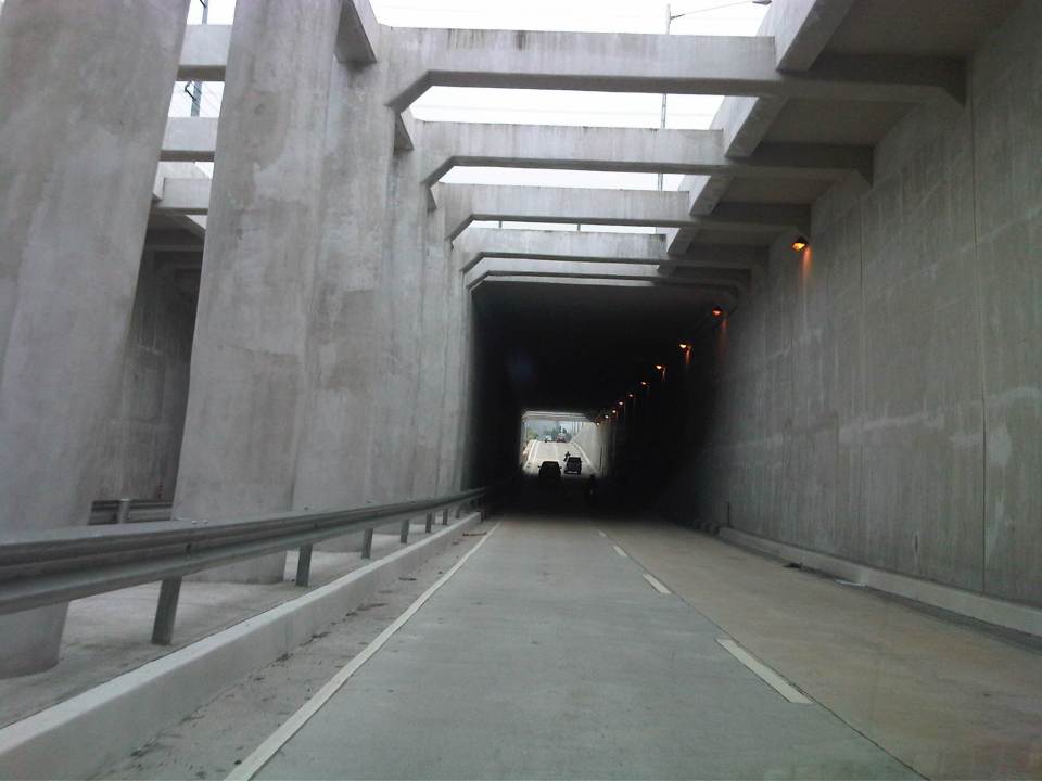 Approaching the section directly under Araneta Avenue, the first impression is that it is quite dark though motorists can see the end of the underpass. Pumps have been installed to drain water from this lowest parts of the underpass and prevent it (or reduced) from being flooded during times of strong rains.
 The end of the tunnel is practically a mirror image of the other. There are few potted plants as shown and perhaps more are needed to soften the look of the underpass as well as to reduce headlight glares.
 Back at-grade – emerging from the underpass, motorists will eventually merge with the traffic along the wide sections of Quezon Avenue. On the opposite direction, I noticed some congestion for vehicle emerging from the underpass as there is a U-turn slot a few meters from the ramp at the Banawe area.
There are traffic signals to manage flows at the at-grade junction of Quezon Ave. and Araneta Ave. It is expected that by reducing the volume of through traffic along Quezon Ave., the signals would be able to handle the remaining traffic and that the intersection will not be as congested as the case prior to the construction of the underpass. Of course, I would also like to see for myself how traffic is in the area during the regular weekdays, particularly on the typically busy days of Monday and Friday.
–
Airport Rail Link in Bangkok
The last time I was in Bangkok was in 2005 or 2006 and so it has been a while since that last trip that I was curious about how the city would look like after 6 years. Was there anything new? Did it change much since the last time? At the very least, I was expecting to have new experiences and it didn’t take long before I had one, trying out the express rail link between Suvarnabhumi Airport and the city. The rail link was still under construction the last time I was in Bangkok and one had no choice at the time but to take a taxi or a shuttle between the airport and the hotel.
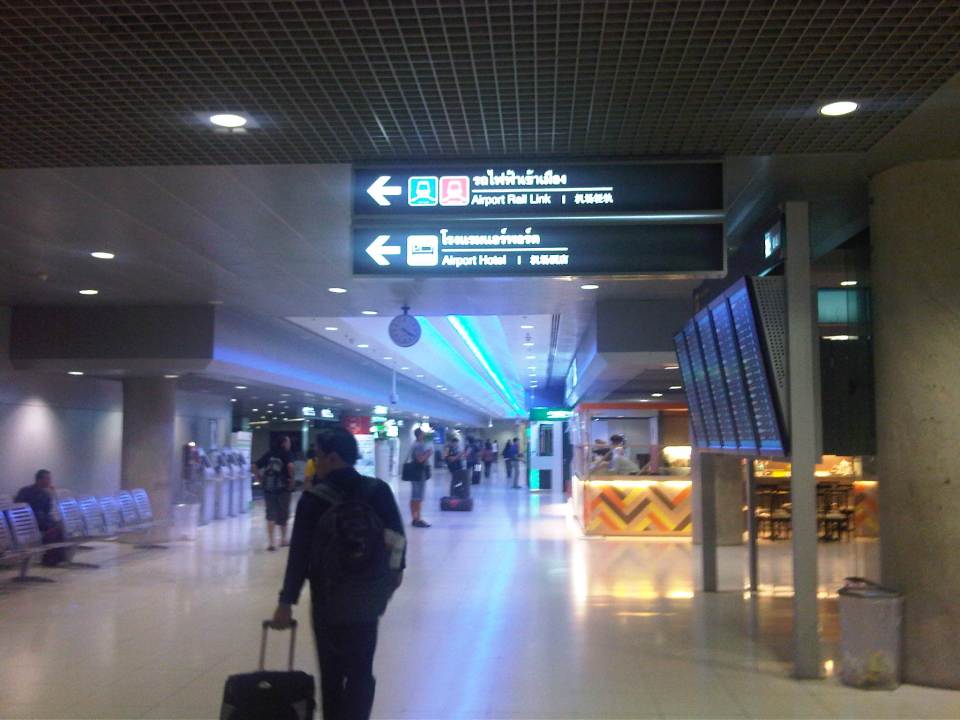 The walk from the arrival area to the Airport Link
 Ticket vending machine with English instructions upon the press of a button. We purchased tickets for the Phaya Thai Express to transfer to the BTS Skytrain
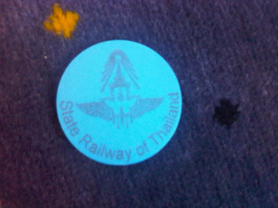 Token for the Express Rail Link trip from the airport to Phaya Thai Station – the link is operated by the State Railway of Thailand, their counterpart of our Philippine National Railways. The trip cost 90 Baht (~ 130 PhP), very cheap compared to taking a taxi.
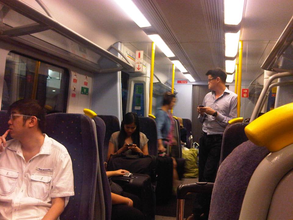 Passengers inside the Airport Link Train
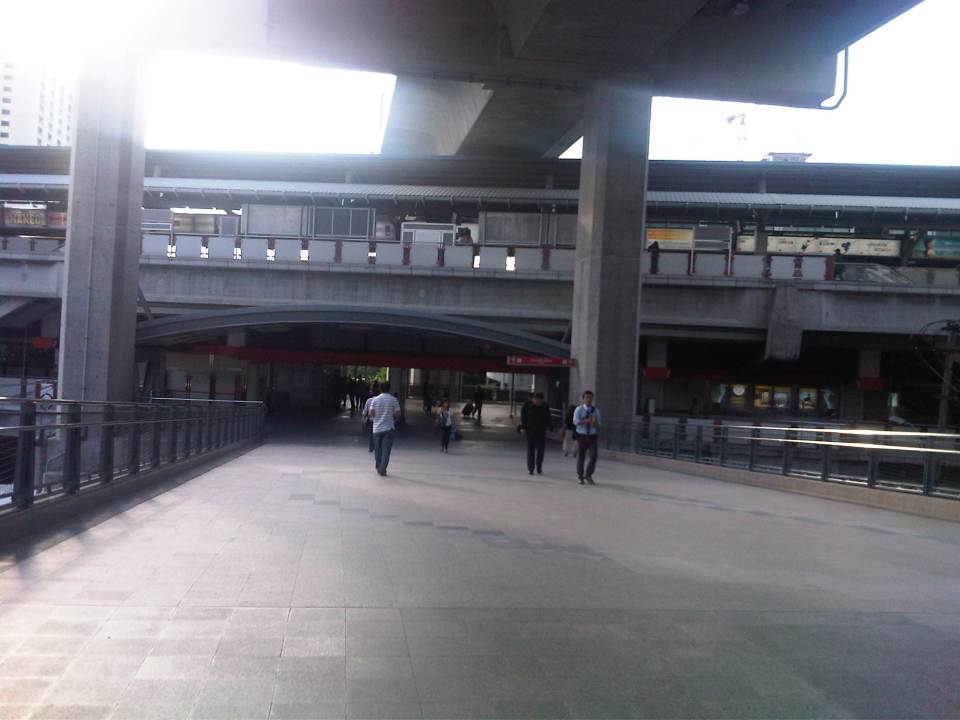 Walk from the Airport Rail Link’s Phaya Thai Station to the BTS Skytrain Station
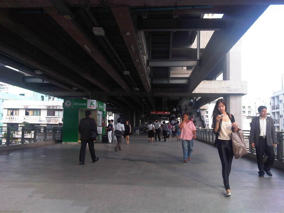 Looking back at the Phaya Thai Station
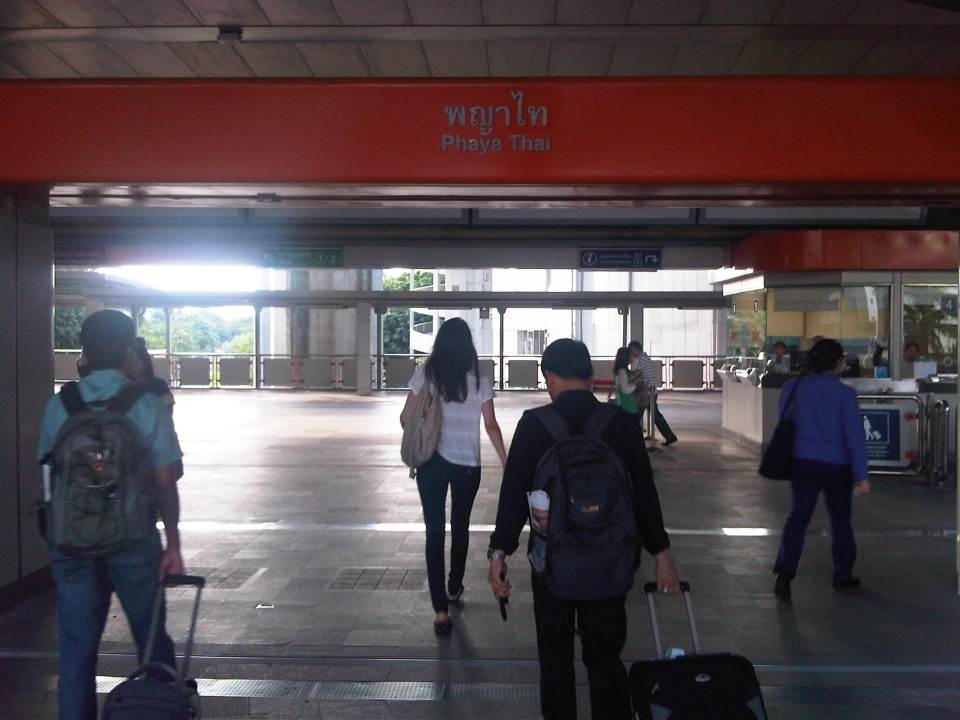 Phaya Thai Station of the BTS Skytrain
It would be very nice to have a similar rail link between the MRT 3 or LRT 1 Lines and NAIA in Manila. In fact, how difficult would it be for the LRT1 Line to have an extension to the airport terminals of NAIA when it’s depot is just across the road from the old domestic terminal? This would probably be easier than constructing a new monorail or whatever system it is that is being planned between Bonifacio Global City and NAIA. It is definitely much easier and perhaps cheaper compared to the still-born Northrail between Caloocan and Clark. One thing for sure is that we are really behind our ASEAN neighbors when it comes to providing the infrastructure for public transport, in this case airport access.
Airport congestion and options to decongest NAIA
Airport congestion refers to two things – congestion at the passenger terminal and congestion at the runway(s). The first may be found in several areas of an airport terminal. Among these areas are at the check-in counters, the immigration counters, customs and the baggage claim counters. Congestion may also refer to the areas allotted to well-wishers although depending on the terminal layout or design, these can be integrated with the check-in or arrival areas. The second concerns aircraft take-offs and landings, and queuing is present both on the ground and in the air. Congestion on the ground can be observed at the end of a runway from where aircraft may be queued according to air traffic control. Congestion in the air is observed in the form of aircraft circling the vicinity of the airport at various designated distances (radius) and altitudes.
Congestion of the first kind is a given at most major airports in the Philippines especially for international flights where security is tighter and there are immigration and customs processes that passengers need to go through. In most cases including domestic flights, airports are usually congested due to the well-wishers taking passengers to the airport or welcoming the same as they arrive. It is not uncommon to see jeepney-loads or tricycle-loads of well-wishers at Philippine airports as it is customary to take relatives or friends (hatid) to the airport or fetch (sundo) people at the terminal
The second type of congestion hogged the headlines earlier this year and during the summer months of April and May when take-off and arrival delays plagued aircraft at Manila’s Ninoy Aquino International Airport (NAIA). Some flights were even cancelled, causing much headaches for passengers and particularly those with connecting flights both for domestic and international destinations. The culprit, technically, seems to be the limited capacities of NAIA’s intersecting runways. Some critics, however, have pointed out that the airlines should share part of the blame for having schedules packed during the day times and offering so many promos. While they have a poin there in as far as scheduling is concerned, one can’t blame airlines from offering such as day flights are more attractive to passengers.
 Aircraft queued along the taxiway leading to NAIA’s main runway
 A newly arrived plane cuts into the queued along the taxiway towards the eastern end of NAIA’s main runway
There are currently several options to decongest the airport in Manila. Many of these are actually proposals that are impractical if not too expensive. One option is to transfer international operations to Clark, which is about 220 kilometers from NAIA or 200 kilometers from Quezon City via the North Luzon Expressway (NLEX). It seems to be the most viable solution and has been compared with the location of other international airports like Narita and Suvarnabhumi, which are outside the metropolitan areas. The thing here is that there needs to be a good link between the airport and the metropolis, which presumably generates much of the demand for the airport. So far, there is already the NLEX for road transport and it should not take so long for someone to travel from, say, Quezon City to Clark. Meanwhile, a rail link has taken so much time in the planning (or procrastinating?) stage that it seems more and more that the Northrail will never become a reality in the foreseeable future.
Two other options have been put forward recently, one by a major corporation that has now expanded its portfolio to include infrastructure, particularly on transportation, and another by a consortium that has developed reclaimed areas along Manila Bay. The head executive of the San Miguel Corporation, which now controls Philippine Airlines, announced plans to build their own airport, initially likely to be somewhere in the province of Bulacan, which is just north of Metro Manila and a shorter distance away compared to Pampanga, which hosts Clark. No details were given making a lot of interested parties including airport aficionados think about which areas in Bulacan are viable and spacious enough to host an airport of international standards. More recent is the idea for the development of the Sangley Point airport that will require reclamation and still another airport link towards the reclaimed areas that include PAGCOR City and the SM MOA. This last proposal seems to be morphing into something that San Miguel is said to be considering based on at least one report that came out today. I think the bottomline here, which ever option is taken, is that we need to have a modern airport that will be able to handle current and projected passengers and freight given our aspirations for commerce and tourism plus the fact that more and more Filipinos are traveling given the OFWs abroad. Decisions will have to be made and government should have a say here considering it is a major piece of infrastructure being considered. One opinion is that we simply cannot rely on the private sector to decide on this and such decisions need to be guided based on the public interest and good.
–
Luzon Avenue: Unfinished business
Luzon Avenue stretches from Commonwealth Ave. near Tandang Sora towards the Congressional Avenue Extension and currently ends at Sampaguita Avenue near the Fairview area. It is supposed to be part of Circumferential Road 5’s northern alignment that will connect with NLEX and McArthur Highway. It took quite some time to complete the bridge crossing Commonwealth Ave. and connecting Luzon Ave. to Tandang Sora near the end of the Katipunan Ave. stretch of C5. Issues were mainly on informal settlers occupying the land where the southern foot of the bridge and service road were to be constructed.
While much of the area has been cleared of informal settlers now, the ROW for the area has not been sufficiently cleared to complete the construction of the approach to the bridge. As such, only the northbound direction of the bridge has been opened to traffic as there is no space available for two-way traffic at the southern end where the bridge will ultimately connect to an intersection with Tandang Sora. Following are photos showing the approach at the north end of the bridge.
 Approach at the north end of the bridge across Commonwealth Avenue – the south end connects to Tandang Sora Ave. near the University of the Philippines Diliman campus. The south end approach is partly finished and allows only right turns from Tandang Sora towards the bridge or to the one-lane service road that leads to Fairview-bound side of Commonwealth.
 Service road – southbound traffic would have to take the service road that leads to Commonwealth Ave. and a short drive to the intersection of the latter with Tandang Sora.
 Talipapa? – this area under the bridge used to be occupied by informal settlers and there was a market here that usually spread to Commonwealth, with vendors and customers occupying the outer lanes of the highway during weekends and causing congestion for vehicles approaching Tandang Sora
 Remnants – there are still stalls, many of them mobile, selling a variety of goods including food, clothes, bags, plastic items and other commodities found in most wet and dry markets. There is a Puregold supermarket near the intersection on the left side and unseen in the photo.
 Exit to Commonwealth – the one lane approach to Commonwealth is sufficient now due to the light traffic but will not be enough once Luzon Ave and C5 is completed, bringing more vehicles to this area.
–
Professorial Chair 2012 presentations on Transportation
The Transportation Engineering Group of the Institute of Civil Engineering of the University of the Philippines Diliman held a special session for its Professorial Chair Lectures last August 10, 2012 at the Toyota Training Room of the National Center for Transportation Studies. Four lectures were delivered by ICE faculty members who are also Research and Extension Fellows at the NCTS. Following are a few photos taken during the colloquium.
 Dr. Sean Palmiano presenting on the Investigation of Road Crash Causal Factors in Metro Manila (DMCI Developers Professorial Chair)
 Dr. Karl Vergel presenting on the Design of Traffic Signal Timing and Traffic Impacts of the Re-Introduction of Traffic Signal Control at the Intersection of the University Avenue and Commonwealth Avenue (Maynilad Professorial Chair)
 Dr. Ric Sigua presenting on Microscopic Simulation: A Tool for Evaluation of Traffic Schemes (Prof. Emeritus Norbert S. Vila Professorial Chair)
 Dr. Regin Regidor presenting on Revisiting the Costs of Traffic Congestion in Metro Manila and their Implications (Pozzolanic Philippines, Inc. Professorial Chair)
 Audience consisting of various participants including those from the DPWH, DOTC and MMDA who were invited for the colloquium.
 Graduate students and technical staff from the College of Engineering and the National Center for Transportation Studies also attended the lectures. Unfortunately, classes were suspended that week due to the monsoon rains that resulted in widespread flooding in Metro Manila so undergraduate students were not able to attend the colloquium.
The presentation files may be found in a previous post where links for downloading are provided. These may also be found in the NCTS website.
–
Professorial Chair Lectures on Transportation Topics – 2012
The College of Engineering of the University of the Philippines Diliman recently held its Professorial Chair Colloquium where lectures were delivered by faculty members from the various institutes and departments comprising the college. Four lectures were delivered last August 10, 2012 at a special session held at the Toyota Training Room of the National Center for Transportation Studies. The lectures were on transportation topics and presented by faculty members of the Institute of Civil Engineering who are also Fellows at the NCTS. Following are the lectures and the presentation files in PDF:
Palmiano, H.S.O., Investigation of Road Crash Causal Factors in Metro Manila, DMCI Developers Professorial Chair: Road Safety Researches HSOPalmiano 10Aug2012
Vergel, K.N., Design of Traffic Signal Timing and Traffic Impacts of the Re-Introduction of Traffic Signal Control at the Intersection of the University Avenue and Commonwealth Avenue, Maynilad Professorial Chair: Traffic Signal Timing KNVergel 10Aug2012
Sigua, R.DG., Microscopic Simulation: A Tool for Evaluation of Traffic Schemes, Prof. Emeritus Norbert S. Vila Professorial Chair: Traffic Simulation RDGSigua 10Aug2012
Regidor, J.R.F., Revisiting the Costs of Traffic Congestion in Metro Manila and their Implications, Pozzolanic Philippines, Inc. Professorial Chair: Revisiting Costs of Congestion JRFRegidor 10Aug2012
–
Solutions to floods and traffic in Marikina, Antipolo and Cainta?
Writing about the improved drainage systems along Marcos Highway and A. Tuazon in the cities of Marikina, Antipol and Pasig and the Municipality of Cainta, I was hopeful (along with a lot of other people living in these areas) that the completed projects would be able to handle heavy rains such as those experienced during the onslaught of Typhoon Ondoy (International name: Ketsana) in 2009. It turns out a lot of people’s hopes sank in the floods that have ravaged the areas again and many other parts of Metro Manila and the surrounding provinces this last several days.
Is there a solution to the problem? I would like to think that there is an engineering solution. I cite as an example Malaysia’s experience, particularly in Kuala Lumpur that has also experienced a lot of flooding in the past. To address severe flooding brought about by , they constructed the Storm Management and Road Tunnel or SMART Tunnel . Details for this infrastructure are posted in their website and it does not take a genius to understand what it would take for the Philippines to solve similar problems in its national capital region. [Of course, it helped that the tunnel is also used for traffic!] Too much investment is already established in these cities and it is not an easier task to move people from the affected areas compared with what it would take to build something like the SMART. Sige nga, kaya bang palipatin ang lahat ng tao sa Marikina, QC, Pasig, lower Antipolo and Cainta sa ibang lugar?
Singapore also did major drainage works in that city state along with its subway development. They recognized early on that they had a serious problem and it required sacrifices that are now paying off in terms of them also experiencing heavy rains from the monsoon and yet have minimal or no severe flooding problems like what we have. Such projects are long overdue here and should be the flagship project of any administration who would want to come up with something that they will be remembered for by generations to come – and with smiles on their faces.
–
