
Home » Land use (Page 11)
Category Archives: Land use
A study on a long-term transport action plan for ASEAN
The National Center for Transportation Studies of the University of the Philippines Diliman participated in the project “Study on the Long-Term Action Plan for Low Carbon Transport in ASEAN.” The study was funded by the Nippon Foundation and implemented by the Institution for Transport Policy Studies (ITPS) and Clean Air Asia with experts coming from ASEAN countries including Indonesia, Malaysia, the Philippines, Thailand and Vietnam, and Mizuho of Japan, which led the development of the Backcasting and Visioning Tools employed in the study. Detailed case studies were performed for Indonesia through the Universitas Gadjah Mada and for the Philippines through the University of the Philippines Diliman.
The Final Symposium for the study was held last February 20, 2014 at the Hotel Okura in Tokyo, Japan. A link containing information on the study, the symposium program, information on speakers, and presentation files are hosted by the Japan International Transport Institute, which is affiliated with ITPS.
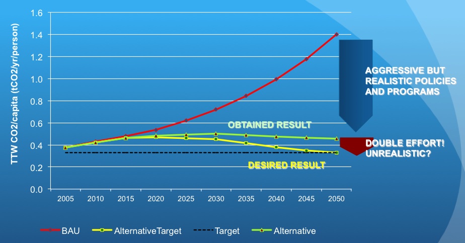 Graph of the result of backcasting for the Philippines using available transport data, policies and other information on various socio-economic and transport factors. (Image capture from the presentation by UP’s Dr. Regin Regidor)
–
U.P. Town Center
Passing along the University of the Philippines’ part of Katipunan, one will see a new development at the area where the UP Integrated School (UPIS) is currently located. The UP Town Center is being promoted as part of a university town center concept and is the second major Ayala development on UP land after the Technohub in the north side of the 493-hectare campus. The surrounding area to the newly built Town Center will most likely host business process outsourcing (BPO) including call centers that currently populate Technohub.
I learned that the development’s design was reviewed on the UP side by a team that included faculty members from UP Diliman’s College of Architecture and School of Urban and Regional Planning. I assume that they were able to cover most if not all the aspects of the design for this particular development and the rest that will follow once UPIS moves to the main campus and the entire lot is developed much like into what Technohub is at present. I would assume that they provided recommendations to Ayala and that these recommendations were used to improve on potential issues with the development. However, my worry is that the transport or traffic component of the design (i.e., transport impact assessment) was not sufficient for the traffic that will be generated by the development. While Technohub had no serious problems regarding traffic as it was along the wide Commonwealth Avenue, the Town Center was located in the narrower C-5 that is the route for much private traffic as well as trucks.
Let us look at the potential problems for the UP Town Center in relation to transport and traffic. For one, the development is close to a major intersection, the junction of Katipunan-CP Garcia. The current traffic signal cycle for the intersection allows for continuous through traffic for the northbound side of Katipunan. Thus, traffic in front of the development, which is along this same northbound side of C-5 will be continuous. Vehicles slowing down to enter the parking lots at either end of the building will likely slow down traffic along C-5. Meanwhile, there are no driveways or bays for transport to load/unload passengers in front of the building. Instead, the driveway is right after Katipunan-C.P. Garcia intersection and does not appear to be designed for jeepneys, taxis and cars will, instead, likely stop on the road and such will mean one lane of C-5 will be occupied, contributing to a decrease in the capacity of the roadway.
Another thing is the parking. Currently, there are limited spaces as understandably the area is still being developed and the lots are temporary facilities. I presume that there will be more spaces available soon considering the parking generation characteristics of such types of developments that tend to attract car-owning people though perhaps the target is a broader range of customers.
And then there are the issues regarding walking and cycling. One friend was asking if there were bicycle racks at the Town Center. I saw none (yet?) but perhaps there will be facilities for cyclists. As for walking, this section of Katipunan is more walkable compared to the segments in front of Ateneo and Miriam where cars seemed to be parked or standing everywhere and pedestrians are forced to walk on the road. Along the side of the U.P. Diliman campus, there are sidewalks where pedestrians can safely walk. On the Town Center’s side, there are also sidewalks and we hope these can still be improved once construction is at full swing. Perhaps what requires attention for both pedestrians and cyclists are crossings. With the increased traffic along C-5 due to the opening of the Luzon Avenue overpass crossing Commonwealth, it has become more dangerous to cross C-5. As such, there is a need to address such issues as surely there will be significant pedestrian traffic crossing to and from the Town Center.
 No driveways or bays for public transport? Construction work continues for the soon to open UP Town Center even as the fences are taken down to reveal a modern building that will host restaurants and shops.
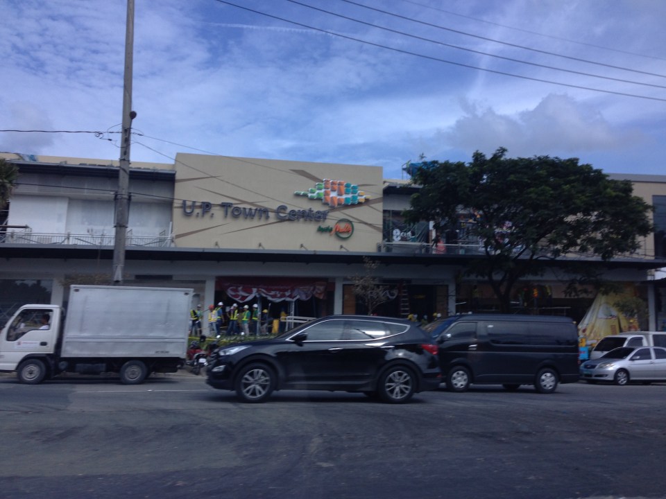 The UP Town Center is already attracting traffic as some restaurants and shops have already made “soft” openings.
A colleague once made the comment that the Town Center was not really for UP but, like the Alabang Town Center, was for the posh residential subdivisions in the area. These include nearby La Vista, Loyola Grand Villas and Ayala Heights subdivisions. Also, it will likely attract more car users than public transport users as locator restaurants and shops are mainly upper-middle to upper class. There are no Jollibees, Chowkings or McDos here. For now, the developer and UP Diliman deserves to be given the benefit of the doubt in as far as the development’s design is concerned. Perhaps the issues I mentioned above will be addressed once the entire area leased to Ayala would have been fully developed. And until then, there would be opportunities to check and ascertain if the development is indeed people friendly and something that can be called a university town center and not just another commercial development that attracts traffic.
–
P. Casals Street and Ayala Boulevard
This is a continuation of an earlier post about Manila streets. Legarda eventually becomes Pablo Casals Street and then Ayala Boulevard after the Ayala Bridge. There are many prominent academic institutions along the road including the Technological University of the Philippines and the Philippine Normal University.
 Technological Institute of the Philippines (TIP) has a branch along P. Casals St.
 Bridge across a tributary to the Pasig River is full of shanties. This is in the San Miguel district of Manila that is near Malacanan Palace. It is between the Quiapo area and the Palace and the tributary leads to the Golden Mosque to the right.
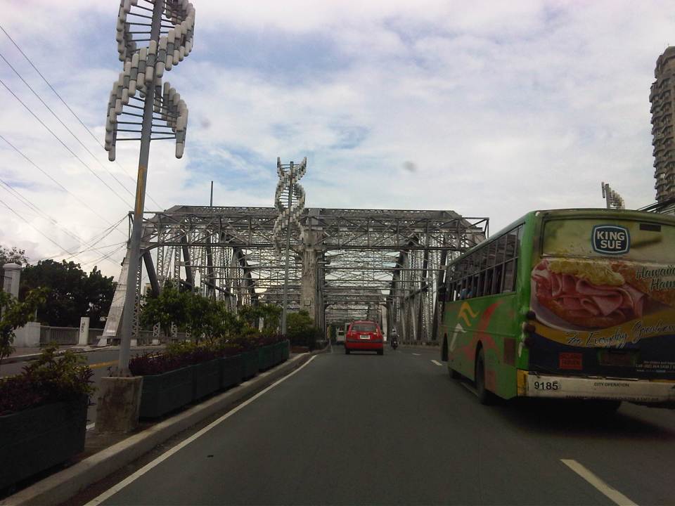 Ayala Bridge where P. Casals Street ends and becomes Ayala Boulevard on the other side of the Pasig. I think the street lamps are quite odd and more decorative than functional. I’ve seen these at night and they look more like lanterns than street lights. At one side of the bridge (on the left in the photo) is the Isla de Balut and the Hospicio de San Jose.
 Ayala Boulevard is a 4-lane, undivided road. The southwest direction (downstream) leads to Taft Avenue.
 Just pas the bridge is an intersection with San Marcelino Street, which is part of a major truck route. Along San Marcelino is Adamson University and what was the old St. Theresa’s College Manila campus whose buildings have been integrated with Adamson.
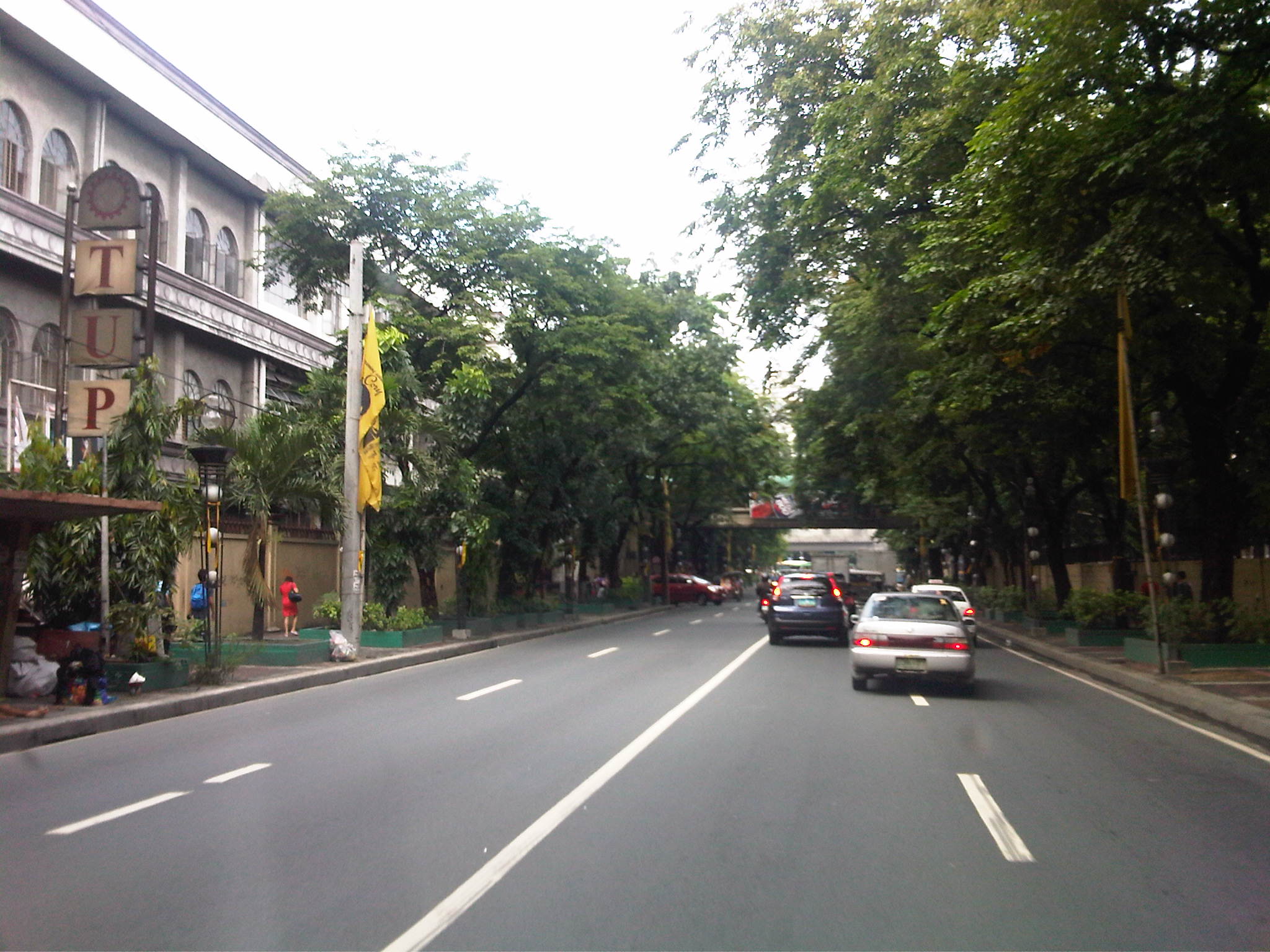 There are two major institutions of higher learning along Ayala Blvd. These are the Technological University of the Philippines and the Philippine Normal University.
A bit of trivia: These institutions (TUP and PNU) together with the University of the Philippines (UP) and the Polytechnic University of the Philippines (PUP) formed the pillars of professional and technical education introduced by the Americans to a post-Spanish Philippines. TUP used to be the Manila Trade School (1901) and then the Philippine School of Arts and Trades (1910) under the Americans. The PNU was Philippine Normal School during the American Period (1901) and later became the Philippine Normal College after the Second World War (1949). The PUP was the Manila Business School (1904) and later the Philippine School of Commerce (1908) during the same period. The University of the Philippines was the first state university established by the Americans in 1908. TUP was established to provide education and training in various trades (vocational school). The PUP was established to provide education and training for business/commerce. The PNU was established to provide education and training for teachers. And UP was established to provide education and training to professionals in the fields of engineering, law and medicine.
–
Walking around Ginza
The Ginza District in Tokyo is one of the most prominent areas for both shopping and offices. It is reputed to be upscale as many of the world’s top brands such as LV, Chanel and Hermes have big shops here aside from the more recognizable Japanese shops like Matsuzakaya and Mikimoto. From a transport perspective, it is a very accessible area with metro lines having several stations here and the district being a few minutes walk from the JR Lines. Sidewalks are wide and therefore a boon to pedestrians and cyclists. There are no jeepneys, tricycles or pedicabs here that are used in the Philippines as modes for almost door-to-door transport and for short travel distances. Instead, you have to walk between buildings and metro or JR stations or bus stops.
 Cyclists making a turn at an intersection in Ginza.
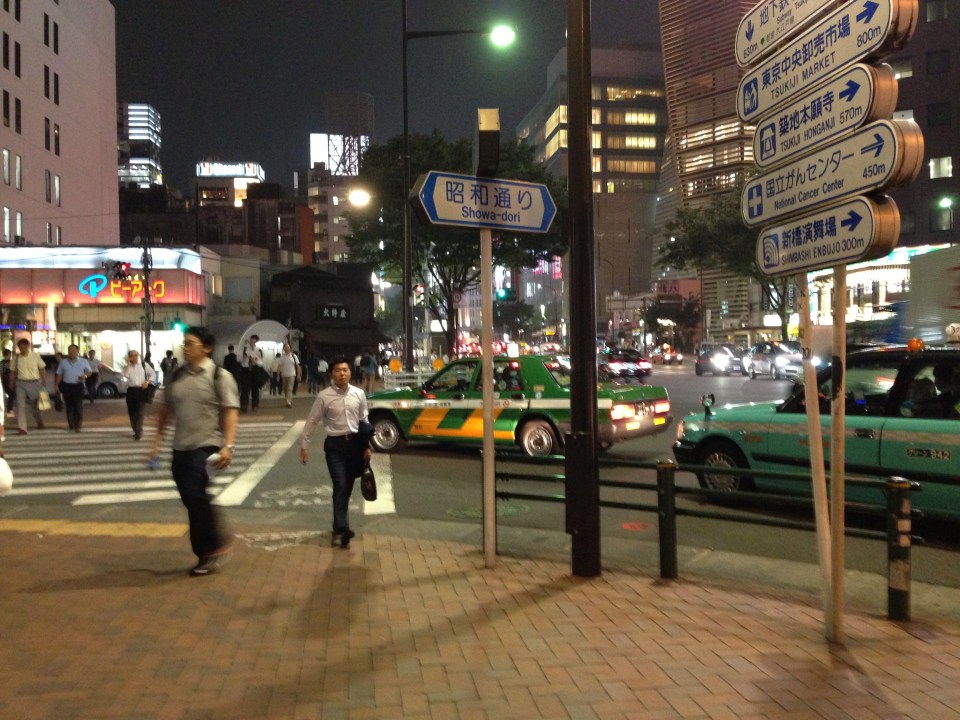 Taxis patiently wait for pedestrians to cross before making a left turn (Japan’s using the right hand drive system) – you will hear no horns from motorists as they give way to pedestrians and cyclists cross the streets unlike Metro Manila and elsewhere in the Philippines where motorists will run over people despite the latter having the right of way.
 Vehicles crossing a busy intersection in Ginza. Turning vehicles position themselves for the turn phase of a signal in anticipation of the green light and would give way to crossing pedestrians including stragglers who made the cross at the last instance.
 Navigating in Ginza – newcomers can get lost in any city and especially something as large and seemingly complicated as Tokyo. Fortunately, we now have map apps in our smart phones and we can more easily determine the way to our desired destinations. This is a friend and his daughter consulting the map on our way to our dinner venue.
 This fuzzy photo was taken as we crossed the street to get to the Higashi Ginza subway station where we parted with some of our company. The bright building at the center of the photo is the Kabuki Theater.
 Access to the Hibiya Line’s Higashi Ginza Station – note again the wide sidewalks.
 A quick shot of a street in Ginza with buildings and signs all lighted up.
 The lights and signboards reminded me of Shibuya (remember the movie Lost in Translation?) and Shinjuku, in other parts of Tokyo. I was not able to go there on my recent trip but will surely go next time I’m in Tokyo.
 Another look at a street as we crossed it to reveal a long line of buildings with the shop and store signs lit up.
 A large electronics store, Bic Camera, near the JR Yurakucho Station. Japan is well known for electronics and Tokyo is dotted with a lot of electronics stores selling the latest gadgets and appliances. Of course, there is the Akihabara “electric town” where there are stores and shops everywhere selling the same plus games and collectibles for hobbyists. But that, as they say, is another story to be told in a future post.
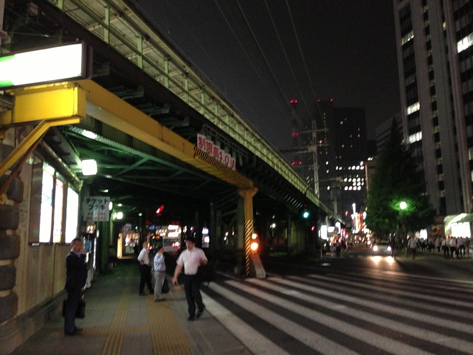 Wide pedestrian crossing at the JR Yurakucho Station. The area is host to many offices and generally has high pedestrian volumes.
–
Special lectures on transportation after the 2011 tsunami in Japan
We recently had the honor of hosting two professors from the Tokyo Institute of Technology (Tokyo Tech). Prof. Tetsuo Yai was an adviser to two (2) faculty members of the Institute of Civil Engineering of UP Diliman and Dr. Daisuke Fukuda was adviser to a former student of ours who is now with De La Salle University. While both are in the transportation field, their laboratories are located in different campuses of Tokyo Tech. Prof. Yai’s laboratory is at the Suzukakedai campus in Yokohama while Dr. Fukuda’s lab is at the main campus in Ookayama where Prof. Yai used to have his laboratory.
Prof. Yai delivered a lecture on “The Progress of Miyako Recovery Plan from Tsunami Disaster” while Dr. Fukuda presented on the “Impacts of Rolling Blackouts on Railway Transport Service in Tokyo Metropolitan Area after the 2011 Tohoku Earthquake.” The lectures were held at the Toyota Training Room of the National Center for Transportation Studies (NCTS) with an audience comprised mainly of graduate and undergraduate students of Civil Engineering.
 NCTS Director Sean Palmiano opening the lectures and introducing Prof. Yai to the audience.
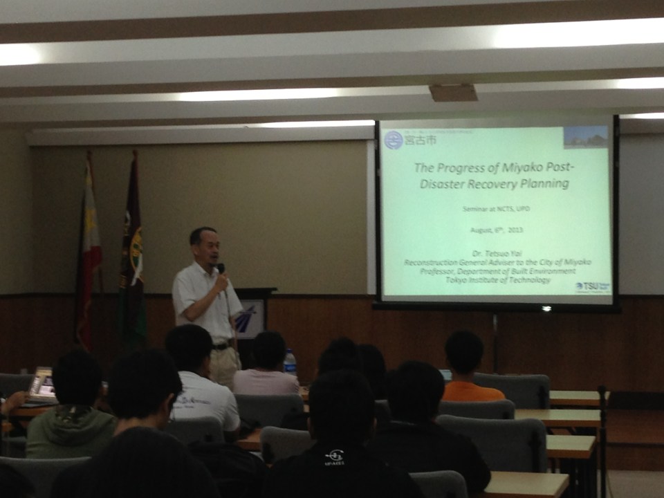 Prof. Yai introducing his topic and talking about the earthquake and tsunami that hit the Tohoku region in 2011.
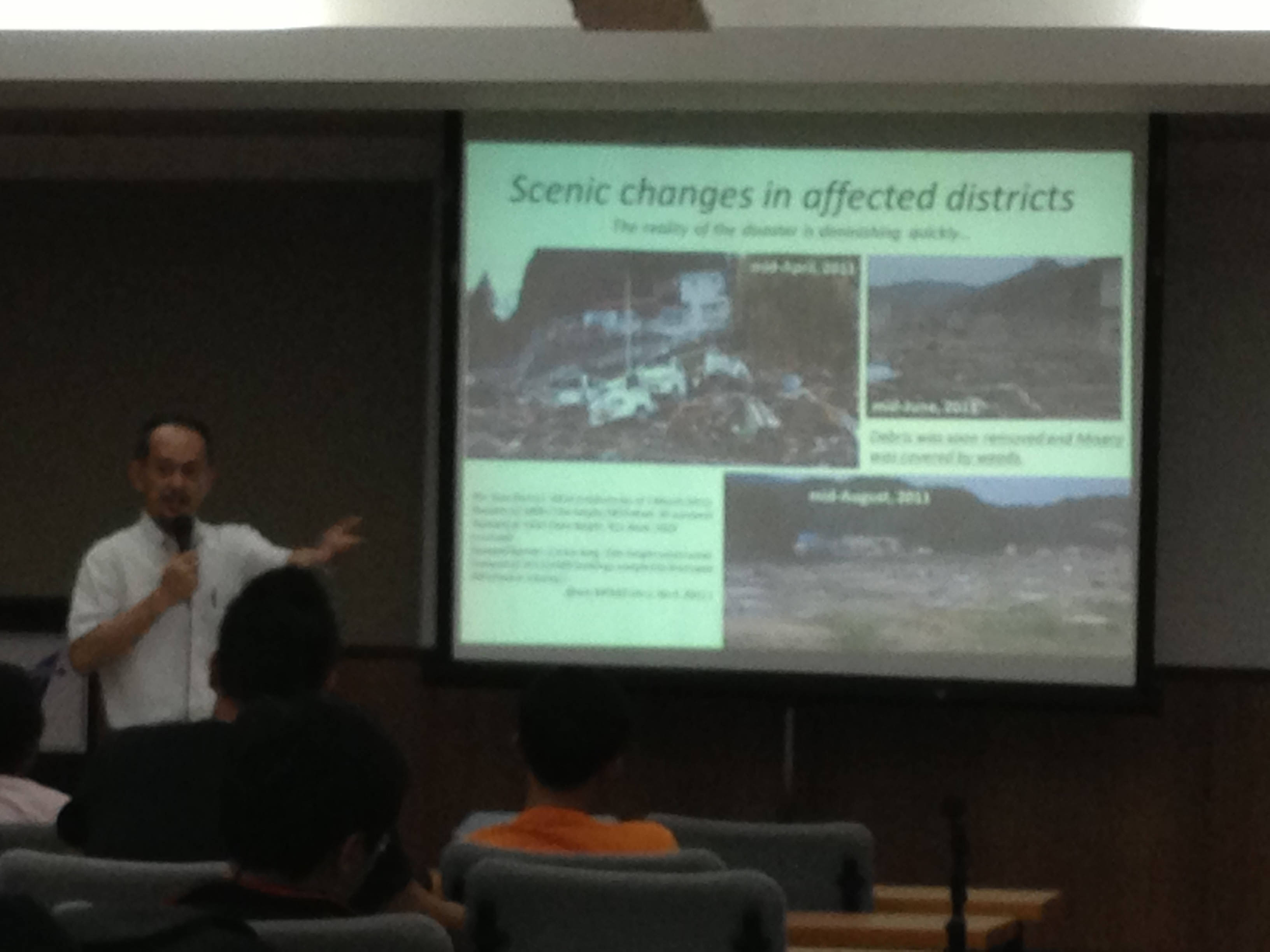 Prof. Yai explaining about the effects of the tsunami on Miyako City and the initiatives for recovery.
 Dr. Fukuda describing the urban rail network in the Tokyo Metropolitan Area.
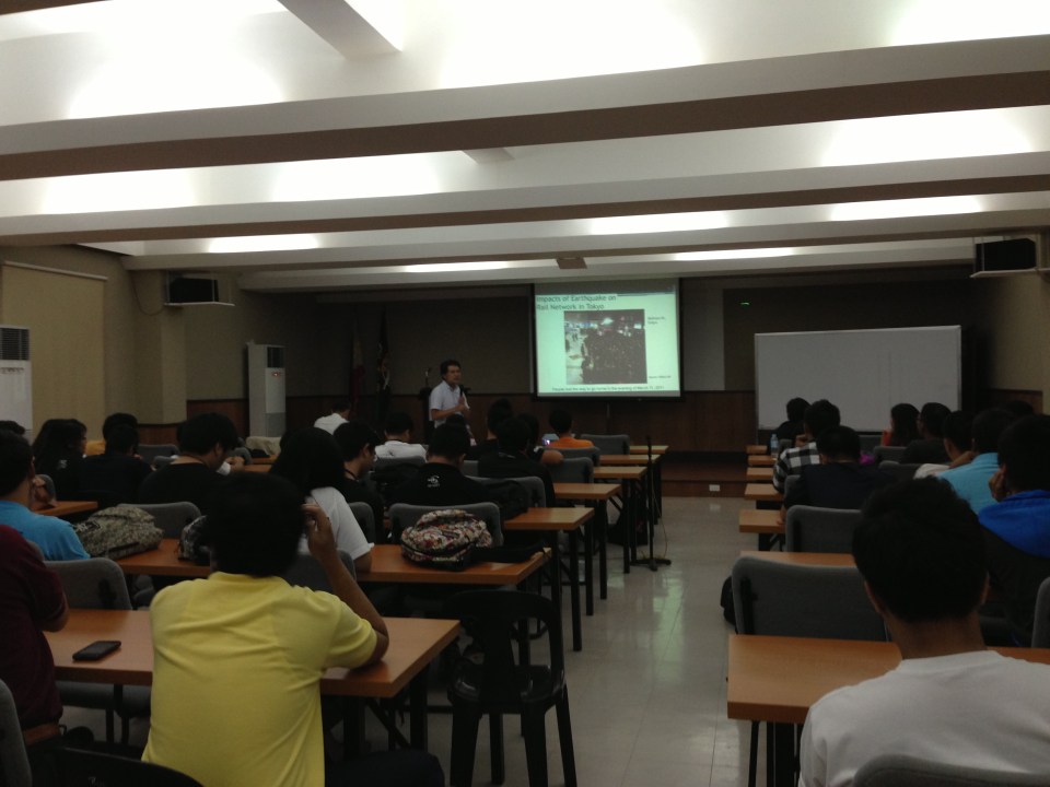 The lectures were well-attended.
 Dr. Fukuda explaining on the impacts of blackouts on rail transport and commuting times in Tokyo and its surrounding areas.
–
Streets of Intramuros: Solana Street
I’m posting more photos of the streets around Mapua and Lyceum. Solana Street is behind Mapua and practically runs parallel to Muralla Street. The southeast end of the street is at its junction with Victoria Street at the Manila Science High School while the northwest end is at the junction with Muralla St. and Andres Soriano, Jr. Ave. at Plaza Espana, where located are the ruins of the Maestranza and the Intendencia.
 Intersection of Solana Street with Beaterio Street with an informal pedicab terminal at the corner.
 Real Street (view towards the southwest) as seen from Solana Street
 A newly built or renovated building is at right across from Mapua. There are many buildings hosting dormitories or rental rooms for students in the area. This is similar to buildings near institutions in the University Belt area where now stands many high-rise condominiums also catering to students.
 Intersection of Solana Street with San Francisco Street (left), which leads back to Muralla Street and the Lyceum.
 Intersection with Sta. Potencia Street – we caught an amusing sight of these two people who appear to be compacting the asphalt concrete transition between Solana’s lower pavement surface elevation with the Sta. Potencia’s new PCCP.
 Vehicles parked along Solana Street and behind the Mapua Institute of Technology
 Approaching the intersection with Victoria Street, one sees many signs of businesses geared towards the academic nature of institutions in the area (e.g., photocopying, bookbinding, computer rentals, etc.). The building on the left is Mapua’s while the ones on the right include dormitories or rental apartments on the upper floors.
–
Another look at traffic along Morayta, Recto and Legarda
Heading to another appointment one morning, our driver avoided Quezon Boulevard and the Quiapo area, which we learned later had serious flooding at the underpass. Our driver said we were actually waved off by a traffic enforcer from heading into Quezon Blvd. to head instead towards Morayta and Recto. And so I decided to take some new photos along our way, which took us to Morayta, Recto, Legarda, P. Casals and Ayala Blvd.
 Morayta Street with the Far Eastern University (FEU) at right is part of an area that is called the University Belt because of the academic institutions located in the area including several major universities like FEU, the University of the East (UE), the University of Sto. Tomas (UST), San Sebastian College, San Beda College, Centro Escolar University and College of the Holy Spirit.
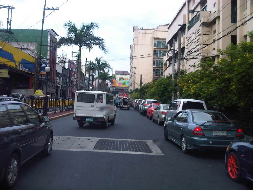 On-street parking along Morayta Street – there should be parking fees for such spaces in Manila since vehicles significantly reduce road capacities and cause congestion. These streets are public spaces and should benefit the general public and not just a few people who happen to have cars but no parking space in an area where space is very limited and therefore valuable.
 Approach to intersection of Morayta with Recto Avenue.
 Recto Avenue eastbound with the elevated tracks of the LRT Line 2.
 Approach to the intersection of Recto with Loyola Street. San Sebastian College is just after the signalized intersection. The pedestrian crossing is for people crossing to or from the University of the East, which is on the other side of the road.
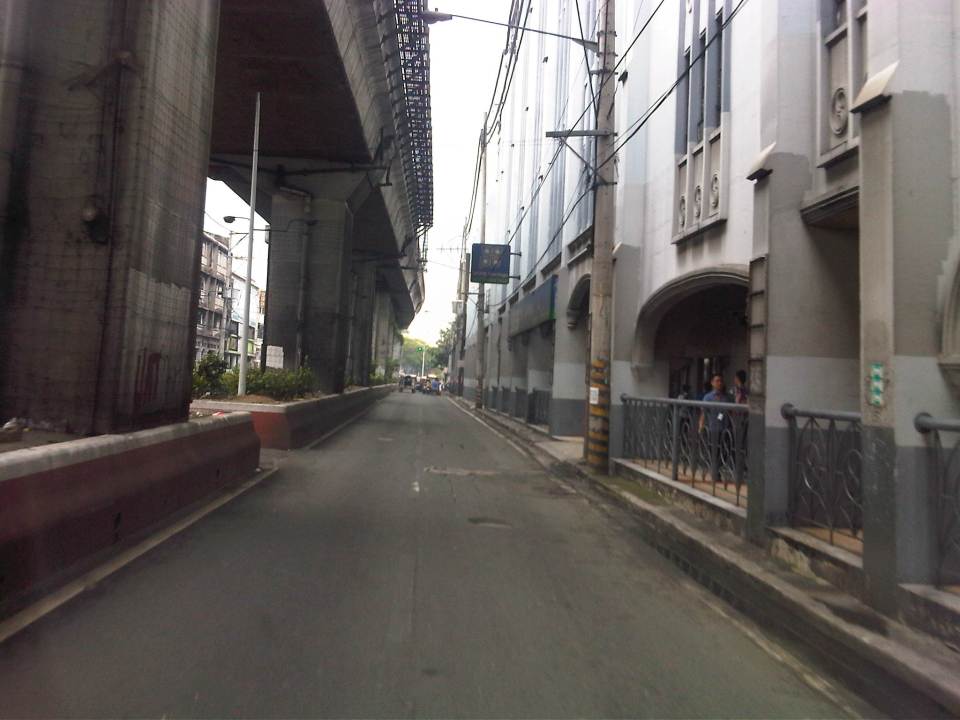 The alignment of the LRT Line 2 led to its posts dividing the eastbound lanes of Recto for the section between Loyola Street and Legarda. San Sebastian College is at right with its arcade walkways.
 The divided eastbound lanes of Recto merge at the approach to the intersection with Legarda and Mendiola.
 That’s Mendiola from across our turning vehicle with San Beda College on the left and a branch of Jollibee obscuring a view of Centro Escolar University at right.
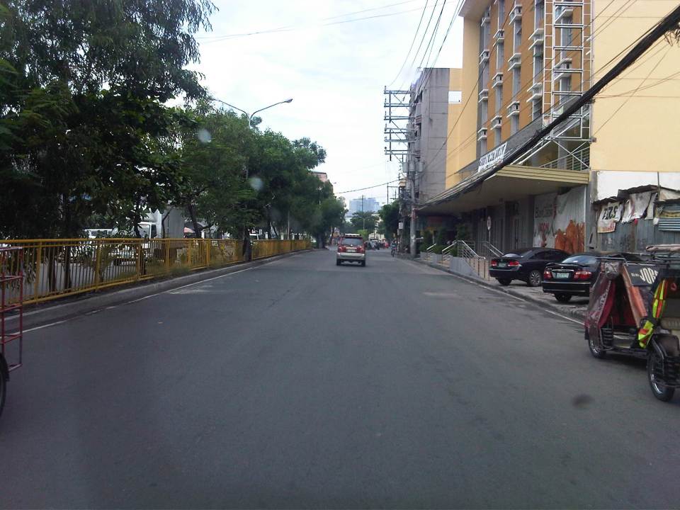 Southbound lanes of Legarda in the general direction towards Arlegui Street. There are many new buildings along the street including the one on the right, which replaced what were already decrepit buildings and houses. Some of these houses probably had historical value but were demolished nonetheless after the property was sold to more enterprising people.
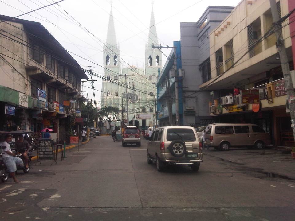 A peak at San Sebastian Church from Legarda and downstream along Bilibid Viejo Street. This image has been captured in many photos and drawings from the time it was completed during the last years of the Spanish period, to the American period until the present.
 Legarda ends at its intersection with Nepomuceno and Concepcion Aguila Streets where the most prominent landmark is the National Teachers College. Here, Legarda becomes Nepomuceno and proceeds towards Arlegui and P. Casals.
–
The Streets of Intramuros: Muralla Street
Intramuros is known as the “old” Manila as the enclave was practically The City when the Philippines was under Spain. Streets are generally narrow as they were designed at a time when there were no motor vehicles like automobiles, jeepneys, buses or trucks. People walked or rode on horses. Luxury vehicles were carriages while goods were carried by carts or people. The following photos show the stretch of Muralla Street from the Victoria Street (Bayleaf Hotel) to Real Street (Lyceum University).
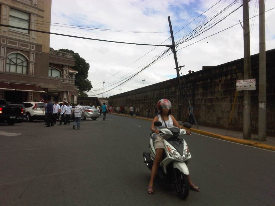 Entrance to Muralla Street with the Bayleaf Hotel at left, which is run by Lyceum University
 Muralla Street runs along the eastern wall of Intramuros. It is a one way street and so the photo shows a pedicab (also called padyak or sikad), a non-motorized tricycle, running counter to the flow of traffic.
 These streets were made for walking – Intramuros has narrow streets and can barely accommodate two way traffic so many have been designated for one-way flow.
 There are schools along the left side of the road including the Mapua Institute of Technology, Lyceum University and Colegio de San Juan de Letran. As such, there are usually many students in the area walking around, having their meals at the nearby canteens/eateries (right side) or perhaps just sitting and admiring the view from the top of the wall.
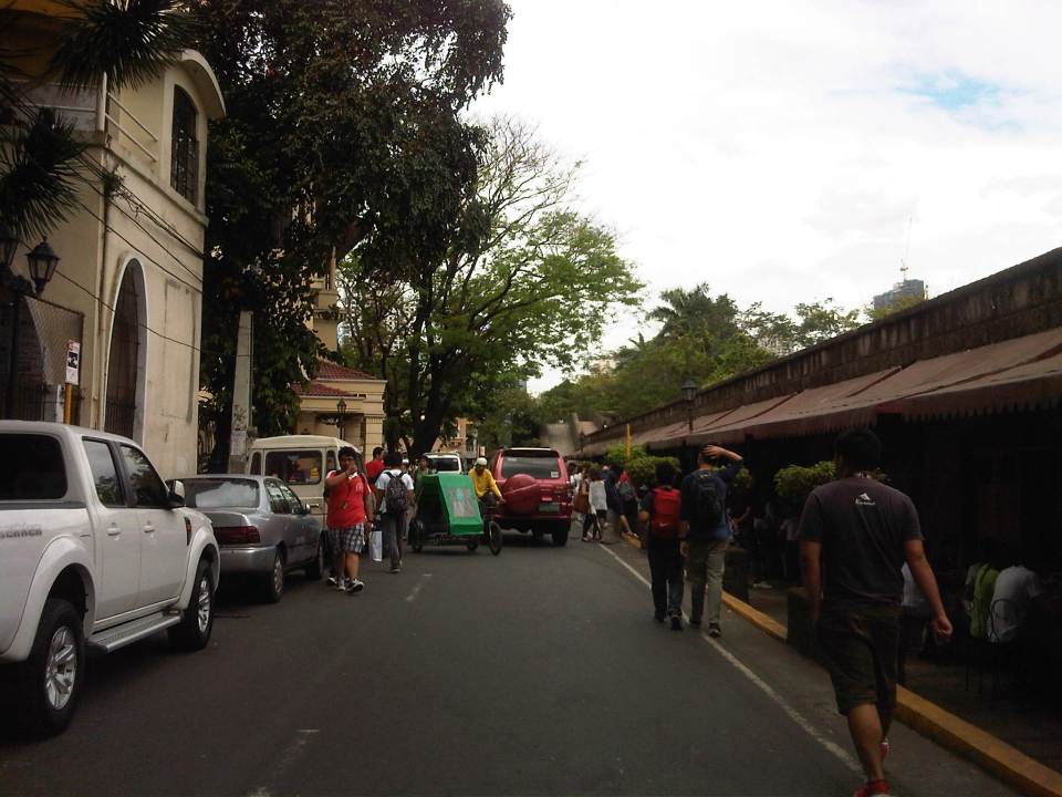 Parking is a major problem in Intramuros and one would see vehicles parked along one side of the street (evident in most of the photos in this post), obviously taking valuable space away from people and other motor vehicles (i.e., reduced road capacity).
 There are many eateries or small restaurants along Muralla St. and just under the wall. These are patronized mainly by students so meals are inexpensive.
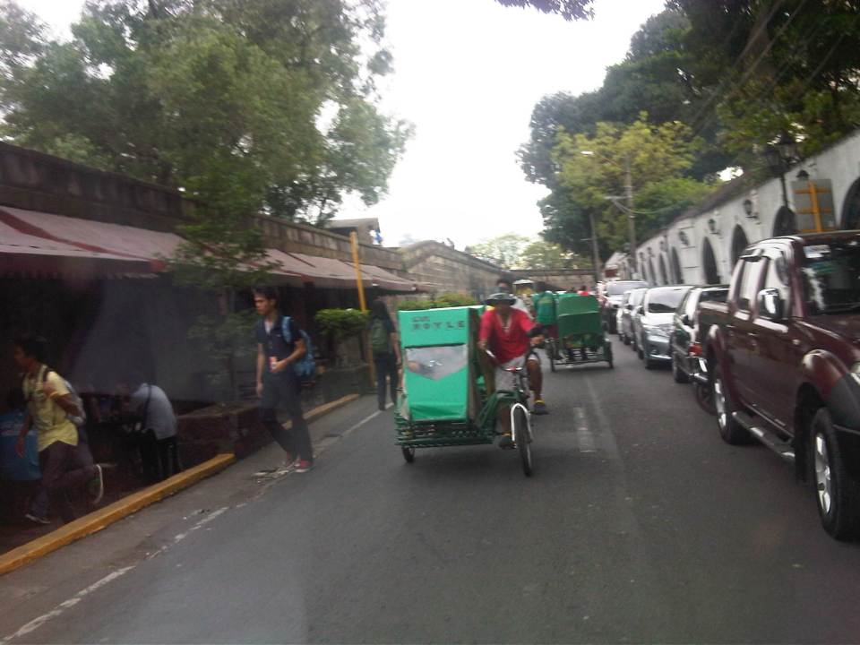 There are many pedicabs in the area with long queues at the gate waiting for passengers coming from the general direction of Padre Burgos Ave., where people can transfer to and from jeepneys serving the area. Frankly, I think there is an excessive number of pedicabs in Intramuros considering roads in the enclave can be transformed into walkable streets, just like they were during the Spanish and American periods. Notice again the on-street parking along one side of the road.
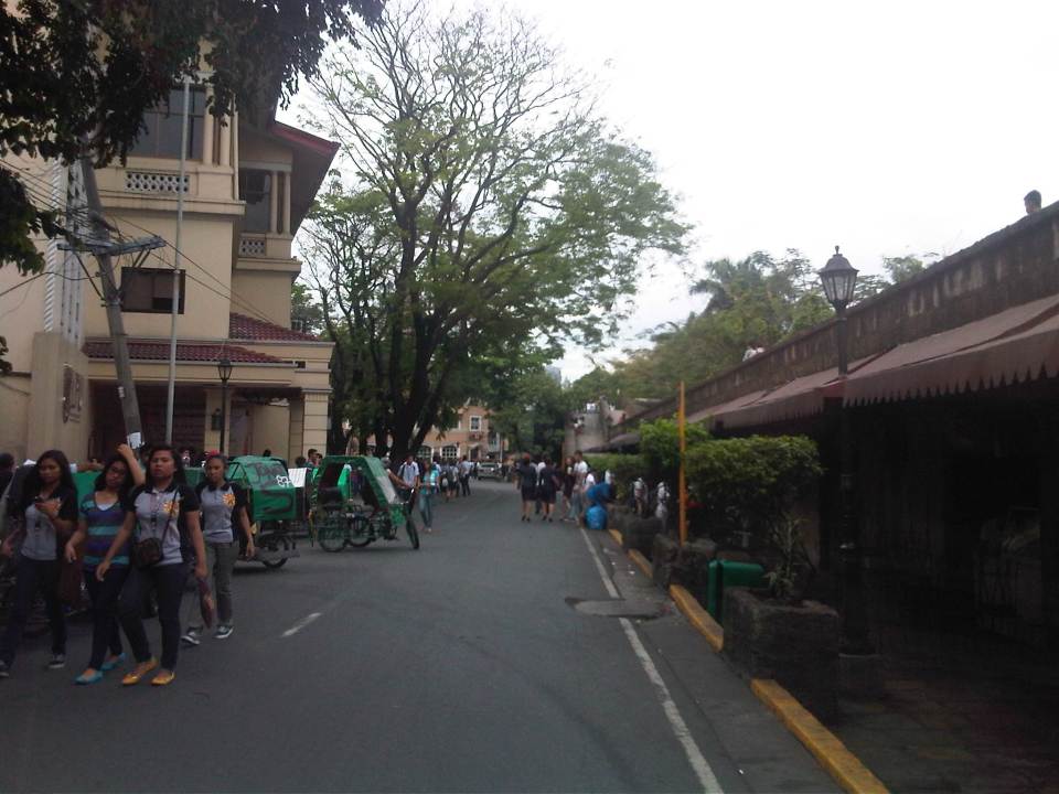 More students and more pedicabs along Muralla Street. People are used to traffic mix and generally stay clear of the space allocated for motor vehicles.
 Security personnel posted along the walls are appropriately dressed as Katipuneros or Rayadillos (honor guards). The building down the street is a dormitory just beside the buildings of Lyceum University, whose buildings are split up by public streets making it tricky to define a campus for the university.
 Junction of Muralla Street and Real Street with a private dormitory building at the center of the photo. Muralla Street continues along the side of the wall and proceeds all the way to Plaza Espana and the old Intendencia. Meanwhile, Real Street proceeds to the left of the dormitory. Also shown at the left is the entrance to one of the buildings comprising Lyceum University. Other buildings are behind the dorm.
–
There goes the neighborhood!
Being frequent visitors to Tagaytay, we couldn’t help but be dismayed with the recent developments there featuring high rise buildings. The first to do this was Robinsons Land, which constructed the first tall building in the Summit Ridge hotel and residential condominium along the national highway, just past the Taal Vista Hotel.
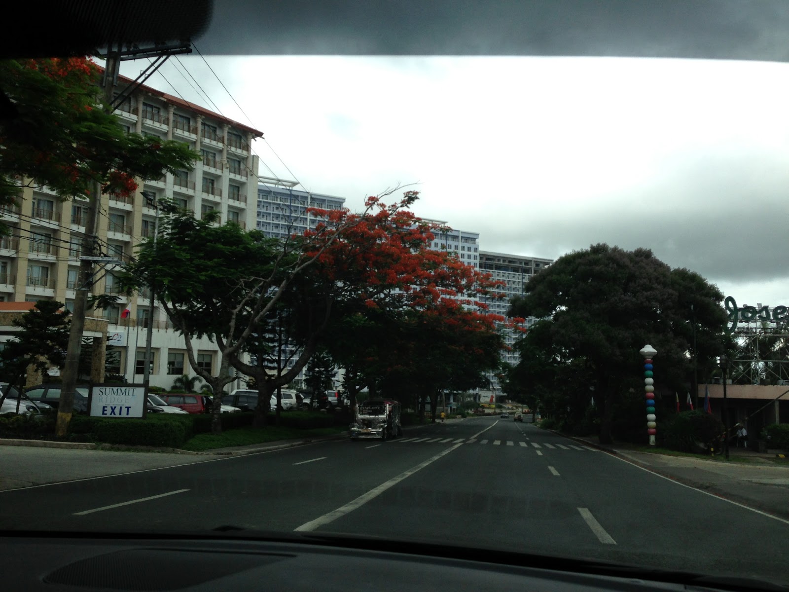 |
| A traveler’s view from the highway – Robinson’s Summit at left is surrounded by SM’s Wind. The sign of Josephine’s Restaurant is visible at right in the photo. |
This project meant the inevitable entry of competitor SM in the area. What we initially thought was a smart move by SM in acquiring the Taal Vista Hotel paved the way for the retail giant to acquire more land for development, which included the much hyped Wind Residences beside (and surrounding Robinsons’ Summit Ridge.
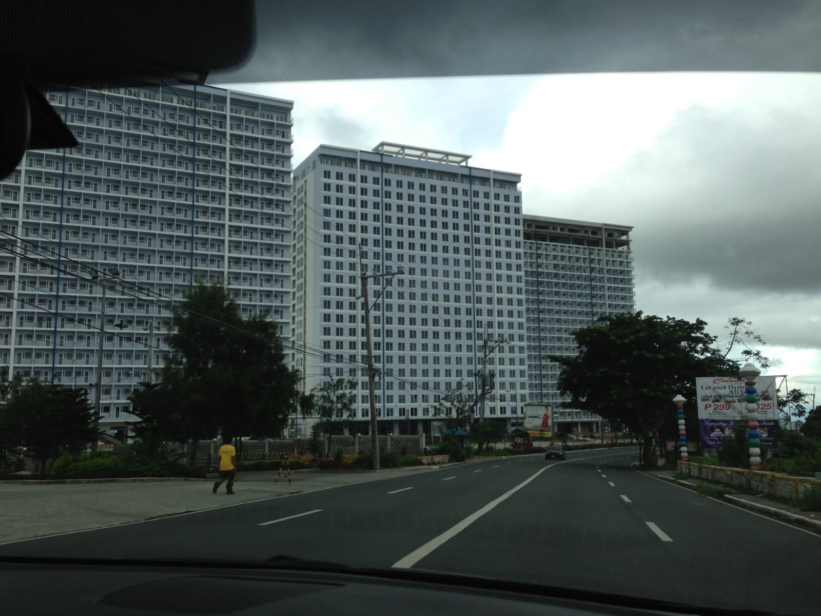 |
| SMDC’s Wind Residences in Tagaytay |
Closely following SM is a development by Cityland near the rotunda, which eerily looked like just one of the ill-conceived boxes they call condominiums in Metro Manila. We couldn’t help but notice that there is generally a lack of landscaping or open spaces to complement the high-rise buildings so there is little or no effort in making the buildings and the lands where they’re built blend with the environment.
For a tourist destination like Tagaytay, it seemed to me that it would be in their best interest to have no buildings perhaps beyond medium rise ( 4 or 5 floors max?). The prevailing perception now is that the city did not do its job in regulating such high density developments. Granted, there are many people who wish to have their own houses in Tagaytay and property values there are climbing. Why else would major players be racing to build high-priced residential developments? And it seems that some developers thought that best approach which addresses demand seems to be the high-rise option. Unfortunately, “best” here seems to be equated to “most profitable” rather than “most sustainable.” Nevermind that the buildings now obscure the view and the sun for many residents of the surrounding areas (not just those living along the ridge). Nevermind that these developments will require much water and other resources for the maintenance alone. Were these elements even considered in the impact assessments of these developments? Did the Environmental Management Bureau do its part in ensuring that the developments conform to standards and regulations?
Now comes what is touted as the tallest ferris wheel in the country, which brings me to the question of why do people go to Tagaytay? To ride a Ferris Wheel? I don’t think so… The local government seemed too eager to approve major projects here and there without looking at a sustainable future for the city. High intensity developments such as the high rise residential buildings currently under construction in the city will eventually put too much pressure on precious resources including water supply and also scar the landscape (I don’t want to use the term cityscape.) with structures that basically do not conform with the character of Tagaytay. These are also sure to add to vehicle traffic that’s already concentrated along the national highway and there are poor facilities for pedestrians including a lack of sidewalks/walkways and safe crossings along the highway.
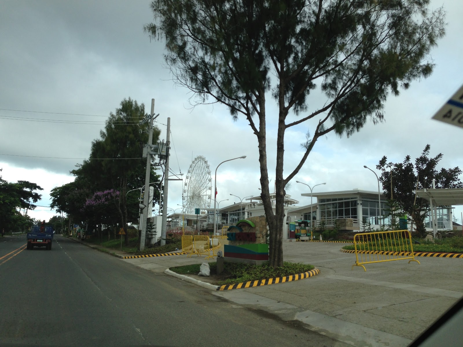 |
| Amusement park and convention center facilities beside the Taal Vista Hotel |
Of course, this is only my opinion and one of so many other opinions regarding development. Perhaps people living in the area accept such developments as they represent income for the LGUs (Tagaytay, Silang and Amadeo are the ones most directly benefiting from the developments.) and jobs for people residing in the area. These were definitely considerations in the process of approval for these projects and probably weighed more than other factors that required attention. I just hope that a sustainable future was not sacrificed by people who opted to earn a quick buck from these projects.
–
Traffic congestion and the limits of quick fixes
One time last summer night, it took me 2.5 hours to get to the airport from where I reside when it should only be an hour or 1.5 hours (on a typical bad day). Very early mornings (between 2 to 4 AM), it only takes me 40 minutes between my home an the airport. The route I usually take is mainly along Circumferential Road 5 (C-5); a route that basically has sparse public transport (mostly jeepneys along different sections) but is a truck route. It was summer though and one would have thought that there would be less vehicles along the road with school still out. I was wrong in that assumption and that cost me both time and fuel that night.
Traffic congestion in Metro Manila and other Philippine cities have been issues for such a long time that one tends to assume there’s nothing being done to fix the problem. In Metro Manila, the Metropolitan Manila Development Authority (MMDA), in cooperation with the various local governments and national agencies, has implemented various schemes including the number coding, truck ban and a bus dispatch system along EDSA. Yet, congestion persists and only last week, the President got caught in traffic as he traveled from Malacanang Palace in Manila to the DOST Compound in Taguig. The news was filled with a comment that he supposedly made to the MMDA Chair about the delay he and his entourage experienced. The bad news is that this congestion will not go away and will only worsen if there are no steps taken to address the problem. And this happens not only in Metro Manila but in other highly urbanized cities in the country. Quite obviously, quick fixes are no longer enough and we have reached the limits of their applicability.
 EDSA during the morning rush hours
 EDSA during the afternoon peak, which actually extends to an evening and even nighttime traffic jam
So how do we alleviate traffic congestion? Here’s three things that come to mind as they seem to be quite logical and very obvious:
1. Build the mass transit infrastructure required – these infra include rail and bus rapid transit systems and are urgently needed in Metro Manila, Metro Cebu, Davao and other highly urbanized cities. A shift from private vehicle use to public transport will not happen if people have no attractive options for commuting. In Metro Manila, there is a backlog of mass transit projects with lines that should have been constructed and operational years or even decades ago.
2. Rationalize transport services – the long standing practice is to increase the number of existing modes of transport as the demand increases. This logic is one that is most abused as a doubling of demand is conveniently but incorrectly interpreted as requiring a corresponding doubling of the number of tricycles or jeepneys, for example. What is required is for our cities to “graduate” from low capacity and less efficient modes to higher capacity and more efficient ones. Many cities seem plagued with tricycles as their main modes of transport within their CBDs when these should have been restricted to residential areas and mainly in the periphery rather than allowed to dominate (and clog) urban streets.
3. Build more walkways and cycling facilities – its difficult to encourage people to walk and cycle if there are no space for pedestrians and cyclists to travel safely and efficiently. Most trips are actually short ones and do not require motor vehicles so it makes sense to invest in pedestrian and cycling facilities so people get the clear message of support for such options for travel. Such investment is also one for healthy living as walking and cycling are forms of exercise and it is well established that these modes of transport promote healthier lifestyles and therefore, healthier people in cities.
–

