
Home » Pedestrian (Page 17)
Category Archives: Pedestrian
Innovations for cycling and walking
I usually browse the net for the wealth of information now readily available on transport facility designs that are pedestrian and/or cycling friendly. In the Philippines, there has been an increased awareness lately for people-oriented systems encouraging cycling and walking. These have extended to calls for more bikeways and walkways to enhance mobility, with several projects being implemented to further the advocacies for non-motorised transport (NMT). Of course, there are already existing examples of both good and bad practices around the country including ideal and undesirable cases in Marikina City, which is the first (and only?) city in the Philippines to have a comprehensive network of bikeways.
Recently, I found this article entitled “Urban Innovations That Could Turn Your City Into a Bicycling Paradise” on one of my favourite websites io9.com. It contains some of the more prominent examples of bicycle and pedestrian-friendly designs that have been implemented elsewhere that we could probably take note of as good practice references when we do plan and design similar facilities in our cities. I’m sure there are many people out there, and not just architects or engineers, who would have good ideas for people-friendly infrastructure design. We need to encourage them to come out and propose these ideas that can be adapted into sound design according to architectural and engineering principles (i.e., the designs would still have to follow standards or guidelines, e.g., seismic, wind, etc. in order for these to be safe for use and last long.
Government agencies especially the DPWH and local government units should be open to new ideas or innovative designs to help transform our transport system to become more people-oriented than vehicle-oriented. There should be initiatives from within these agencies to come up with innovative designs while keeping the details up to standards or following established guidelines. So far, there have been no notable push for updating road designs, for example, despite road safety assessment findings and recommendations that should resonate more within agencies and LGUs if they are not comfortable dealing with NGOs or civil society groups advocating for people-friendly infrastructure.
I believe government engineers are competent and have the talent to come up with innovative designs and guidelines but there is a lack of incentive for them to do so and to think out of the box. The bottom-line is still to create an enabling environment for such design ideas to come out and be implemented. Perhaps the academe could lend a hand here with their strong linkages with government planners, architects and engineers. The schools could provide the environment for encouraging new thinking in as far as transport infra is concerned and the leading universities would have the resources that can be harnessed towards innovative designs.
–
Walking vs. cycling?
I remember an episode in an old series, The West Wing, where White House staff had to meet with various proponents of renewable energy. The very same proponents advocated for the RE they thought should get the most attention, and therefore funding support from the government. They ended up criticising each other’s advocacies, even pointing to the flaws of each and basically putting each other’s proposals down. The POTUS (ably played by Martin Sheen) had to intervene and scolded these people for working against each other rather than working together to push a common RE agenda.
This is pretty much where we are now with many proponents of sustainable transport initiatives. People and certain groups would advocate for walking, cycling, BRT, rail transit, etc. as if these are exclusive from one another. The results have often been haphazard facilities such as entire pedestrian facilities being painted and designated as bikeways and regular bus services being mislabeled as BRT. I have some friends who insist that cycling is the way to go simply because they cycle between their homes and workplaces, not fully understanding that this mode is not for everyone especially with the various issues in urban sprawl affecting our choices of residence. Clearly, what is good for one person is not necessarily applicable to everyone else, and that is why we should have options for travel or commuting. These options would have to be integrated, complementary, affordable and people and environment-friendly.
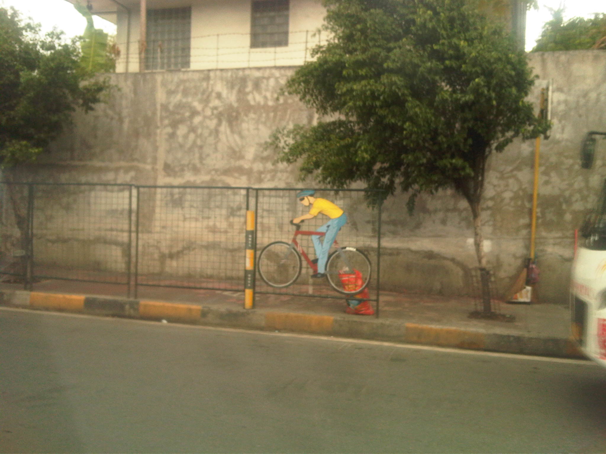
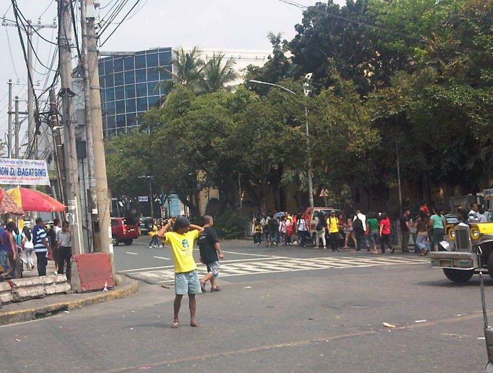
 The MMDA fenced off entire stretches of sidewalks and painted the pavement red to designate them as bikeways. This basically alienates pedestrians and while the wire mesh fence has its benefits from the perspective of safety, it also effectively constricts the space that cyclists and pedestrians have to share. Note also the trees and poles that pedestrians and cyclists would have to evade or risk injury.
 Along EDSA, the same treatment of fences and coloured pavements was applied ahead of Temple Drive/Corinthian Gardens. The space is just too constrained for sharing given the trees and poles and then you have the smoke belching buses adding to the misery of people using these facilities.
While there have been some quick wins for pedestrians and cyclists, it seems to me that many if not all do not seem to be as sustainable as we want them to be. Many cases are classic for their being “pwede na yan.” There is no innovation in design or no design involved at all much like what we typically see as best or good practices abroad. Marikina still has the best examples so far for integrated bikeway and walkway design though there are many examples of good pedestrian facilities around including those in Makati and Bonifacio Global City (I tend to resist saying Taguig because that city practically has no say in how BGC is developed.). Quezon City (along Commonwealth) had a little promise and the UP Diliman campus but perhaps that can be realised with the rise of a new CBD in the North Triangle area. Of course, we look forward to developments in Iloilo City what with the bikeways being constructed along the long Diversion Road. Still, I believe that there should be a conscious effort not just from the private sector but from government agencies, especially the DPWH, to come up with new designs and guidelines that LGUs could refer to. That agency so far has not measured up to the expectations of many for it to take a lead in revitalising our roads so that facilities can be truly inclusive and environment-friendly.
–
The Philippines’ National EST Strategy – Final Report
Friends and some acquaintances have been asking about whether there is a master plan for sustainable transport in Philippines. There is none, but there is a national strategy that should serve as the basis for the development and implementation of a master plan, whether at the national or local level. This strategy was formulated with assistance of the United Nations Council for Regional Development (UNCRD) through the Philippines’ Department of Transportation and Communication (DOTC) and Department of Environment and Natural Resources (DENR), which served as the focal agencies for this endeavour. The formulation was conducted by the National Center for Transportation Studies (NCTS) of the University of the Philippines Diliman. For reference, you can go to the NCTS website for an electronic copy of the National Environmentally Sustainable Transport Strategy Final Report.
 Cover page for the National EST Strategy Final Report
–
Food for thought – a few articles on transport and traffic
This will just be a quick post for now and I just wanted to share a few recent articles on transport and traffic from a favourite magazine – Wired:
What’s Up With That: Building Bigger Roads Actually Makes Traffic Worse
Why We’re Sad the Best Airport in the World Is Getting Even Better
The Hidden Genius and Influence of the Traffic Light
These are very well written, easy to understand articles on things we encounter everyday (traffic congestion, traffic signals at intersections) and when we travel long distance (airports). They show different perspectives of things we take for granted or assume we understand. An example of the latter includes notions that road widening or road construction will solve traffic congestion problems. Much of what goes around regarding road widening or road construction as solutions do not account for induced demand, which is basically additional traffic generated or encouraged by wider or new roads. The second article talks about Changi Airport, arguably the best in the world, and the high tech approaches they have employed or will employ in order to ensure efficient operations there. Such tools, I think, should be used in our airports especially NAIA where the long standing excuse is the limitations of the runway(s) and the airport terminals. Certainly, there are other issues that need to be addressed and going high tech and employing sophisticated methods for airport operations should alleviate problems until we ultimately build a new airport elsewhere. The third article takes a look into behaviour and mentions a “social contract” we have agreed to in order to reduce mayhem in our roads. This “social contract” as well as others related to it should be revisited and understood as they are very much a part of how we behave when we travel and have a significant effect on others around us.
 Traffic congestion and traffic signals along the 4-lane C.P. Garcia Avenue in UP Diliman
–
On walkability
There is an increased awareness for walking and cycling these days thanks to the increasing number of advocates and the aggressive and persistent campaigns for people to take up these modes of transport instead of the motorised forms. In the Philippines, the joke has been for people to have the propensity to ride a jeepney or tricycle even for short distance trips that elsewhere would be considered walkable. Why is it like this? Are Filipinos really lazy? Or is it a matter of not having the facilities for people to be able to walk safely and comfortably? I believe it is the latter case that discourages people from walking. There is the fear that you can get sideswiped by errant vehicles driven by reckless drivers or riders. There is also the impression that you can get injured from uneven paths or incur unwanted exposure to the elements (e.g., heavy rains, floods, punishing heat, etc.).
An important thing for this advocacy for walking would be to promote good, sound design and not just making walking an afterthought for streets. I have seen and heard a lot about sharing the road but for the wrong reasonings and without understanding the pre- or co-requisites for successful programs for walking and cycling. I would like to think that atop the list of pre- or co-requisites would be a good public transport system. We currently don’t have that in Metro Manila and it is difficult to cite exceptions around the metropolis given the poorly planned transit stations where transfers between modes are inefficient and definitely not seamless. However, standalone examples of walkable places and facilities can be seen around Metro Manila. I feature some of them below:
 30th Street in Bonifacio Global City is a good example of how roads in urban areas should be developed. Note the wide spaces provided for walking and cycling and the limited space (4 lanes) for motorised traffic. I just hope that the wide pedestrian spaces are not intended for future widening of roads for motorised traffic. During early mornings and evenings you will find many joggers along this road and around Bonifacio High Street – proof that the environment is conducive enough for such activities.
 On the ground, 30th Street looks every way walkable with the trees providing the shade (and oxygen) to make walking an attractive option anytime of the day.
 Pedestrian crossings should be clearly marked and in the case of BGC, even those at signalised intersections are painted as zebra crossings (more appropriate for unsignalised crossings) instead of the standard parallel line markings. Unfortunately, whatever may be the case for these cross walks, most motorists seem to be unaware of the rule that once a pedestrian steps on the cross walk, then motorists should give way to the pedestrian. Motorists should also slow down upon approaching a cross walk – something not commonly seen in the Philippines.
 Atop a typical pedestrian overpass – I took this photo at an overpass along C-5, which is an example of the more recent overpasses constructed in Metro Manila. Previously, there were a number of issues regarding overpasses constructed during the time when Fernando was MMDA Chair including slippery steel floorings, low railings and steep stairways (i.e., not friendly to senior citizens and persons with disabilities). This overpass has a more sturdy design and the railings provide users with a sense of safety. Stairs are also less steep than those of previous ones.
More on walkability in future posts!
–
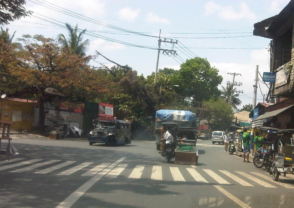
Bottlenecks and other traffic issues in Antipolo
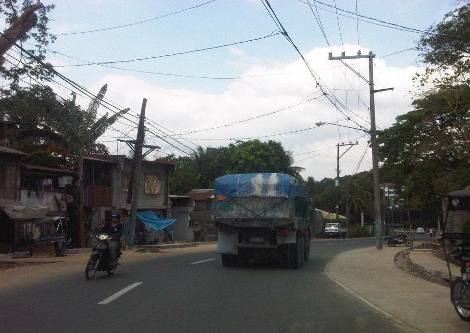
Commuting between our home in Antipolo and my work place in Quezon City, I have noted a lot of issues on transport and traffic that needs to be attended to by the local government in coordination with other entities like the DPWH and Meralco. Here are some photos with my notes and comments.
 Much of Sumulong Highway have been widened to 4 lanes but many electric posts remain in the middle of the additional lanes and pose hazards to motorists and cyclists. These posts seem to have been here for quite some time now and the paint on them gives the message that they will be here for the foreseeable future. Paint or no paint, they are road hazards and have the potential to kill people on vehicles crashing into the poles. I think this is supposed to be the responsibility of the power company (Meralco) but there needs to be a firm request and coordination coming from Antipolo City Government to finally relocate these poles.
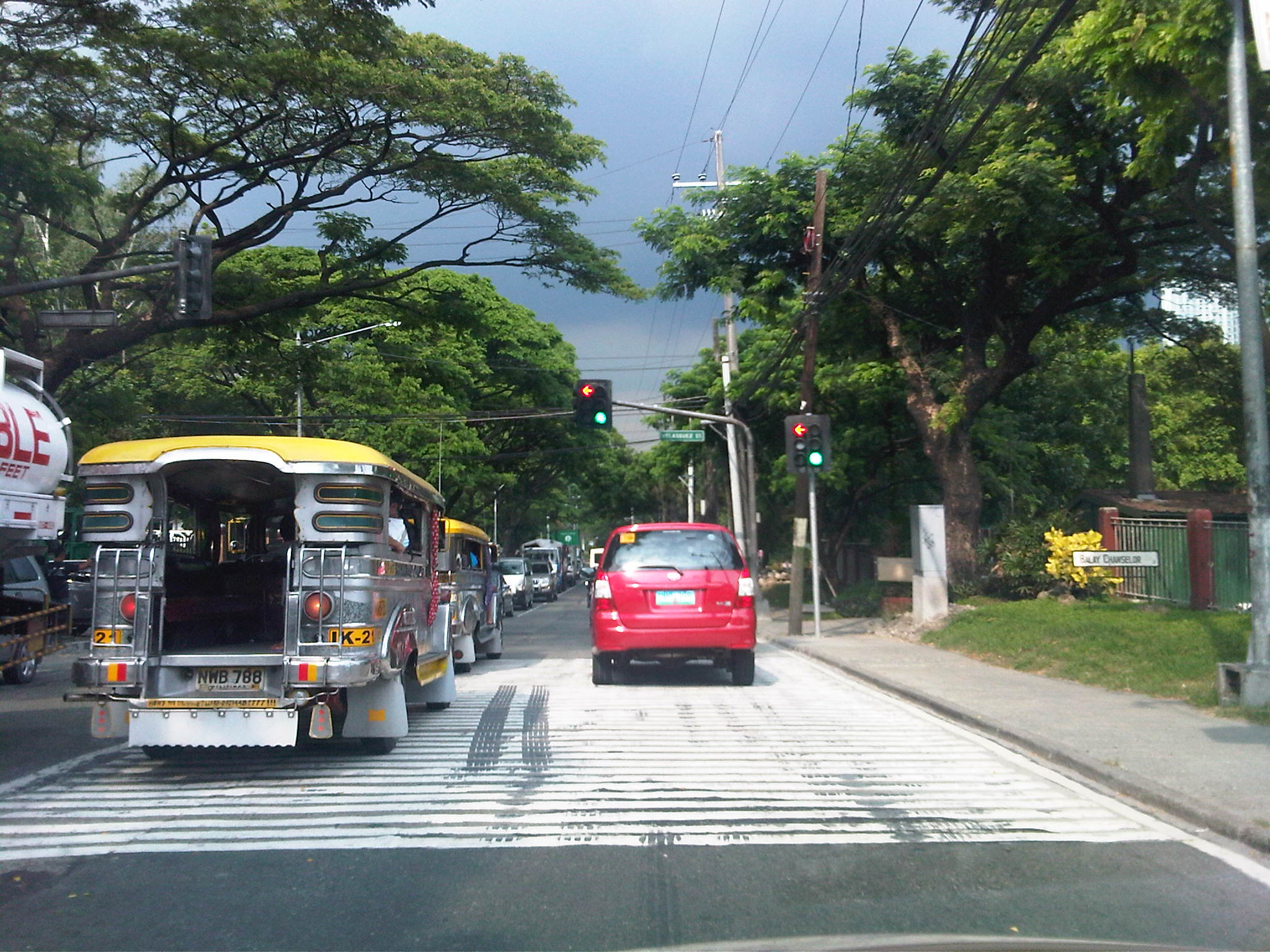
 Congestion is often caused by counter-flowing vehicles forcing their way back into the right lane (like the car in the middle of the photo) upon encountering opposing traffic. It doesn’t help that there are motorcycles splitting the lanes to make for a very crowded road.
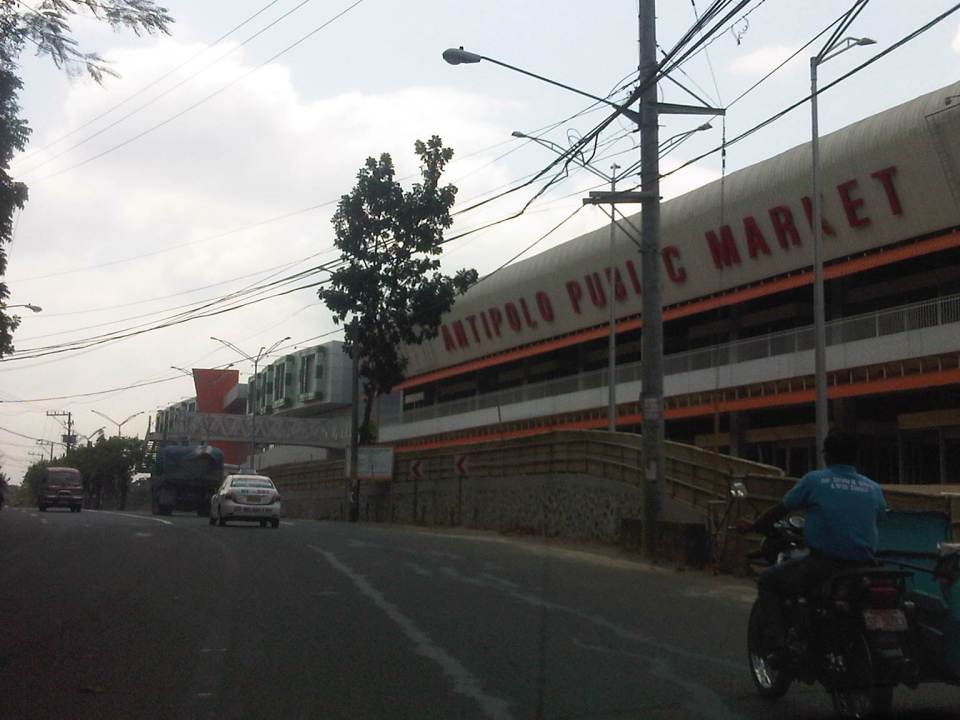 The new but still closed Antipolo Public Market along Sumulong Highway and near the intersection with Daang Bakal (the old railroad line that’s now a road). I wonder about the trip generation potential of this complex as it is not yet operational. Meanwhile, a huge Robinsons mall (looks larger than their Magnolia property) is currently under construction just across from it and will definitely be a major traffic generator in that area. The combined traffic to be attributed to these commercial complexes will surely have a tremendous impact on Sumulong Highway and other roads in the vicinity.
 Both Sumulong Highway and Ortigas Avenue Extension carry significant truck traffic. These often cause congestion as they are slow going up to Antipolo and can block the entire road as Sumulong Highway and Ortigas Extension have some narrow sections where the shoulders could not provide enough space for other vehicles to pass the slower moving ones. In certain cases like the one in the photo above, there are electric posts in the middle of the shoulder lane.
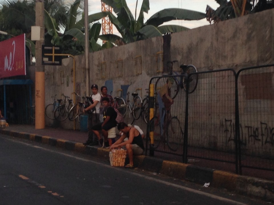
 Tricycles occupy the outer lane of Ortigas Ave. Ext./Olivares Street. Such informal and on-street terminals are illegal along national roads and yet the city tolerates them. One explanation for this is that there are informal communities along the highway on shanties built along what is supposed to be a ledge along the mountainside (shown at right in the photo). These are where tricycle drivers and their families reside.
 Tricycles from different tricycle operators and drivers associations (TODAs) seem to roam the entire city. This is contrary to the common practice in other cities and municipalities where tricycles are limited within a certain area or district that in many cases just overlap with others (e.g., UP Teachers Village-Philcoa-Krus na Ligas).
 Many tricycles serve as school service. However, the observation is that most tricycles tend to be overloaded with passengers. These are usually small children so the driver probably figured that they could cram more passengers than what is legally allowed.
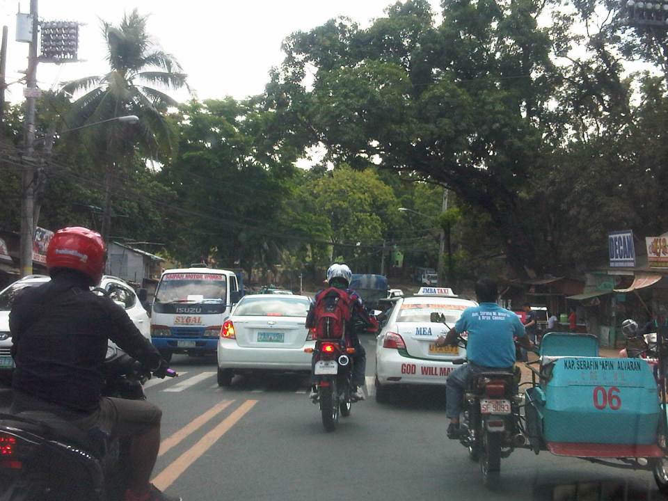
 Sharing the road? Antipolo is very popular with cyclists and weekends bring a lot of them to the city as they come from all over via the main routes along Sumulong Highway and Ortigas Avenue (there should also be those coming from the east via the Antipolo-Teresa Road and Antipolo-Tanay Road). Most motorists are aware of these cyclists and give way to them. Most experienced cyclists are also aware of the ROW of other vehicles and so keep to the inner lanes. This mutual awareness and respect are vital to make roads safe for all. I think the only thing needed is to provide space for pedestrians as there are significant numbers of people walking, hiking or jogging along these roads.
–
“Pwede na yan” bikeways?
The recent clamor for bicycle facilities have led to several initiatives in Metro Manila and other Philippines cities (most notable recently is Iloilo) to support the demand for cycling facilities. While Marikina City already has a network of off-street bikeways segregated from motorised traffic, there are few other examples of such facilities elsewhere. The more recent initiatives in Metro Manila involved the Metropolitan Manila Development Authority (MMDA) establishing bikeways in several areas along major roads in the metropolis. I say establish because the MMDA did not construct new bikeways like the ones in Marikina or Iloilo. What the agency did was to designate sidewalks and other existing paths for cycling by painting these over. Unfortunately, these so-called bikeways did not take into consideration the needs of pedestrians with whom cyclists must share this limited space. And so few people use them despite a high profile launch that brought together government officials and NGOs including cycling and mobility advocates and enthusiasts. I guess the big test was really not whether advocates and enthusiasts would really use the bikeways (Don’t count on the officials to use them. They have chauffeur-driven vehicles.). Would the regular commuter use them instead of the roads, despite the risk or dangers posed by motor vehicles?
 Commuters waiting for a bus ride along EDSA with suspended bicycle racks behind them. The sidewalks along EDSA have been painted red, designating them for bicycle use. The big question now is how cyclists will interact with pedestrians given the very limited space they should be sharing.
 Bicycles hanging on racks attached to the perimeter wall of an exclusive subdivision along EDSA.
 Cyclist using the curb side lane of EDSA – these people run the risk of being sideswiped by buses operating along the yellow (bus) lanes of this busy thoroughfare. It is quite obvious in the photo that there is no space on the sidewalks to accommodate cyclists and even pedestrians. Column for the MRT-3 stations are right on the sidewalks and makes one wonder how this flawed design was approved in the first place. MMDA enforcers usually appear as if they are only bystanders and seem to be generally helpless when it comes to managing traffic.
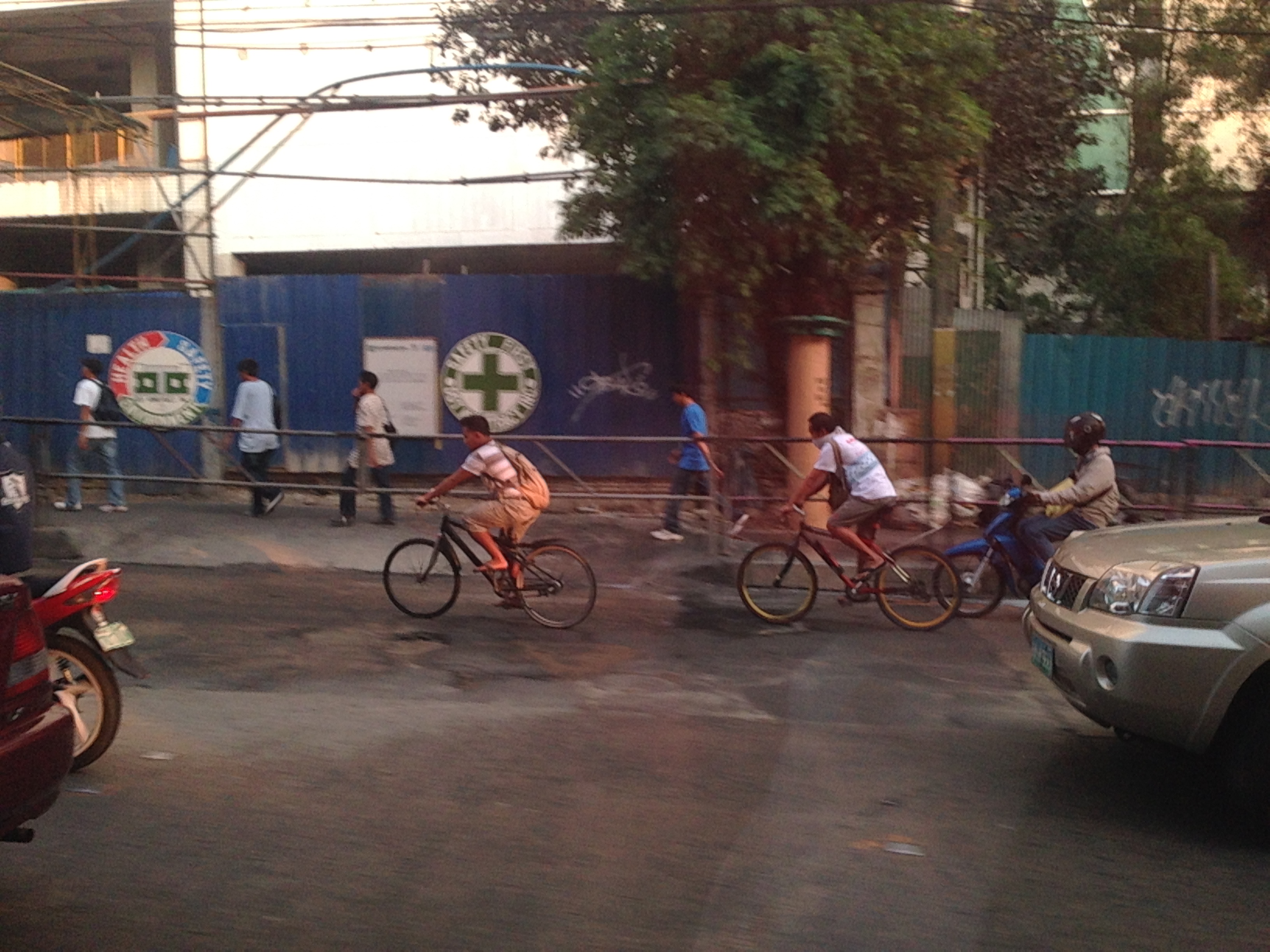 Workers cycling back to their homes after a day’s work. Many people have opted to take bicycles for their daily commutes even if they have to travel long distances in order to save money that would otherwise be paid as fares for buses, jeepneys, UV Express or tricycles. Note that the cyclists use the outermost lane of the road as the sidewalks pose many obstacles including pedestrians as shown in the photo. Some cyclists though want more than a share of the sidewalk or a lane of the road for their use regarding pedestrians and motor vehicles as nuisance for them. Surely, some pedestrians also regard cyclists as nuisance to walking and would prefer to have the sidewalks for themselves.
Cycling is in a way an emancipation from motorized transport commutes, and savings translate to money they could allocate for other needs of their families. While there are raw data for family expenditures from census surveys, there are few studies and publications focused on transport. It would be interesting to see how much a typical Filipino family spends for transport in absolute terms as well as a percentage of their total incomes. Such information would be essential for understanding the needs of travelers, especially for daily commutes for work and school (other trips include those for purposes of shopping, recreational, social and others). Long commutes are associated with higher expenses (e.g., in terms of fares or fuel costs) and reducing such costs through shorter commutes should free up money for necessities like food, housing and clothing. Ultimately, this would help solve issues relating to poverty and health, which can easily be related to commuting behavior and characteristics.
It is in that context that transport systems should be planned and implemented carefully along with the housing developments. This underlines the essence of the relationship between transport and land use that has been the topic of discussions for quite some time now that apparently, a lot of people in this country, especially officials and the private sector have chosen to ignore or apply selectively (i.e., according to their own advantage and not really for the general welfare of the public). A transport system is not cycling alone, or roads or railways alone. It is, by definition, a network, a set of interacting, integrated elements and each of these components of the system are essential for it to function well. It is the interaction and integration that are the key elements that we often forget as we advocate one transport mode over others as if they are independent from each other. They are not and we should complement rather than compete in our advocacies for transport so we can finally achieve an efficient, effective system for everyone.
–
“Sharing the road” – bandwagons and fads? Let’s hope not!
There seems to be a lot of talk about “sharing the road” and the initiatives to have more bikeways. I hope I am proven wrong but it seems to me as if these current programs and projects are more of a fad. A lot of people (and local governments) join the bandwagon with little understanding of what needs to be done. It’s usually because of the good PR they get out of these that they agree to coming up with the token carless street or the haphazardly implemented bicycle lanes. More than PR, some cities are aware of the opportunities that come with such initiatives as international agencies and groups are willing to spend money to support such programs and projects. The question really is on sustainability and doing the right thing not only on initiating things or coming up with programs but on the substance itself. And by substance I mean that programs should also go into the details of designs. Too often, the “pwede na yan” approach is taken and this just won’t do.
 The MMDA painted the sidewalks in White Plains and designated them as bikeways, in a way alienating pedestrians.
A vision for what people want to have is there but it is ultimately how the achieve the vision that needs a lot of work. For example, bills are being filed in congress to force the creation of bicycle lanes along major highways. (And mind you there are a lot of similar bills filed in congress that upon closer inspection actually have little substance.) The premise here seems to be that if you build them then people will start cycling. That was not the experience in Marikina, which boasts of the country’s only bikeways network that includes many off-street sections. These bikeways were built at a time when the perception and analysis pointed to a critical mass of cyclists in that city that was thought to be surely the tipping point in terms of non-motorised transport. Nowadays, the same bikeways are used by motorcycles and tricycles and most cyclists we see are not commuters (e.g., cycling between home and work/school) but recreational cyclists. It would take Marikina some effort to promote commuting by bicycles and much effort in enforcement to correct the misuse of the bikeways. The “new” bikeways in Quezon City appear to be poorly conceptualised as the MMDA decided to paint the sidewalks along EDSA northbound without addressing the obstacles like electric posts. Still, it is an effort to put NMT in the consciousness or awareness of the general public (thanks in part to media’s making these news worthy items).
Cities like Pasig and Taguig like to show-off Ortigas Center and Bonifacio Global City, respectively, as their faces when in fact the cities have not done much in their original cores. The running joke is that the real Taguig is not the areas to the west of C-5 but the old Taguig, which is to the east. This Taguig is the one plagued by narrow streets and the proliferation of tricycles. It was not so long ago that a former mayor imposed e-tricycles on BGC (where they were not suitable) while not doing much to lift a finger in the mayhem of tricycles in old Taguig (e.g., along Gen. Luna). As for Pasig, you just have go along the Pasig River and the Manggahan Floodway to see what it has accomplished so far in those areas.
There are no quick fixes to the transport and traffic problems our cities are facing. In the case of Metro Manila, much is at stake for the long-delayed mass transit projects. And the DOTC’s announcements of projects being formulated or proposed are no longer taken seriously as they have not delivered on any of these despite 4 years of this current administration. For other cities, it is important to learn the hard lessons from the experience of Metro Manila. There is also a need for a drastic change in transport and traffic policies in our cities. Iloilo, for example, has built an expensive bike lane along Ninoy Aquino Avenue (Diversion Road) and has marketed its Esplanade as a haven for pedestrians and cyclists. Yet the city has not acted on the clamour to revisit the overpasses along Gen. Luna (Infante and Jalandoni flyovers). The latest information I got from the city is that there are issues in the design of the bikeway along the Diversion Road as the surface (they used pavers) is not suitable for cycling. It seems, also, that the city and cyclists were not consulted by the DPWH when the bikeway was designed and constructed resulting in many cyclists using the Diversion Road itself for traveling. This last example is a lesson for our local governments and national agencies that they need to cooperate with each other and turfing has no place in transport and traffic if we are really serious about bringing solutions to problems we encounter everyday.
–
Snippets of Manila streets and traffic
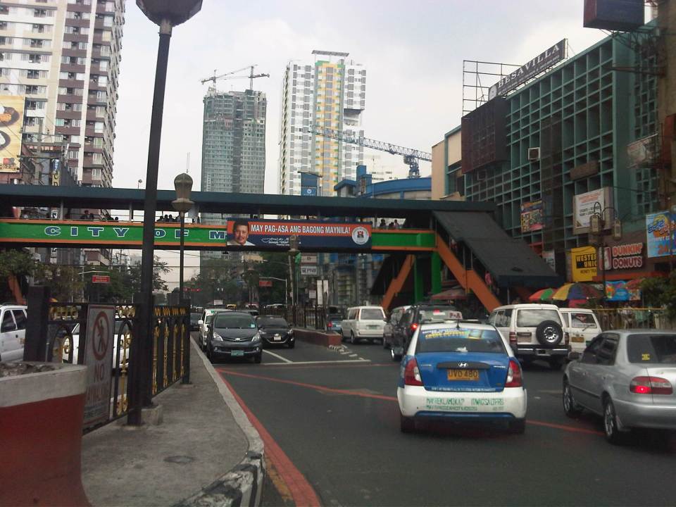
Coming from a forum held at a hotel in Manila, I took a few photos of scenes along our route back to the university. These are snippets of everyday scenes in the Philippines capital city, which now has for its mayor the former President of the country who was ousted back in 2001 for allegations of plunder. He has been on the news quite frequently as his administration has introduced traffic schemes intended to address traffic congestion in that city. These include going after buses without terminals in Manila last year and quite recently an expanded truck ban that renewed discussions about logistics and the Port of Manila (i.e., decongesting the port in favor of Subic and Batangas ports).
 Traffic at the intersection of Bonifacio Drive, Roxas Boulevard and Padre Burgos Avenue. The trucks in the photo are coming from the Port of Manila and at the time this was taken, the window of the extended truck ban in Manila allowed these trucks to travel.
 Barkers meet jeepneys head-on in the middle of the street just past Manila City Hall. A friend posted sometime ago that in Philippine streets, the uneducated dominate the educated and this seems so true in the case of public transport where barkers, paratransit drivers and their lot control how people should get a ride and how vehicles should operate.
 Organized mayhem – pedicabs run along most of Manila’s streets with many even traveling counter-flow. This photo was taken just across from the old, decrepit Metropolitan Theater just before the Quezon Bridge towards Quiapo.
 More pedicabs (also called padyak or trisikad), non-motorized 3-wheelers that notoriously violate traffic rules and regulations as they proliferate in many parts of the city.
 A sign stating “There’s hope for a new Manila.” with the face of former Philippines President Estrada, who was elected Manila Mayor last year.
 A modern public transport stop along the eastbound side of Espana Avenue shows a guide map and electronic message board that informs people who was responsible for the project.
 Another modern bus stop, this time just in front of the University of Sto. Tomas campus, which is along Espana Avenue.
 A side street to Espana Avenue reveals an on-street motorized tricycle terminal. There is a sign at the entrance to the street saying buses are not allowed along the road.
More on Manila in the next posts…
–
Designing for walking and cycling
There are current discussions regarding the highway and street designs mostly from the perspective of safety. These discussions include those hosted by the academe and those posed as challenges by practitioners, mainly architects with experience designing similar facilities abroad and who are advocating for more people-friendly designs. Such discussions are slowly but steadily gaining traction in the Philippines but has met with some resistance in the form of key persons and agencies not giving due attention to the design challenges being posed that would have implications on planning and design guidelines. That is, the implications of promoting people-friendly designs in our roads will require changes in the National Building Code as well as the Highway Planning Manual of the Department of Public Works and Highways (DPWH). These changes will include standards and specifications for the geometric design of walkways and bikeways integrated into our roads and a departure from the current approach that basically treats pedestrian and cycle facilities as an afterthought to motorways.
I’m posting a few photos I took from a recent visit to Yokohama, Japan, which was my home for 3 years back in the 1990s. Much has changed in Yokohama since I last visited in 2008 but notable are the people friendly transport infrastructure including pedestrian and cycling facilities. Following are photos taken in the Minato Mirai district of the city.
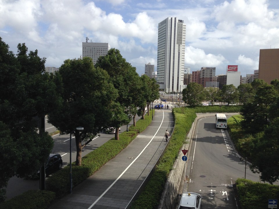 Pedestrian and cycling lanes along the main road of Yokohama’s Minato Mirai district. The tree-lined street provides a conducive environment for walking and cycling.
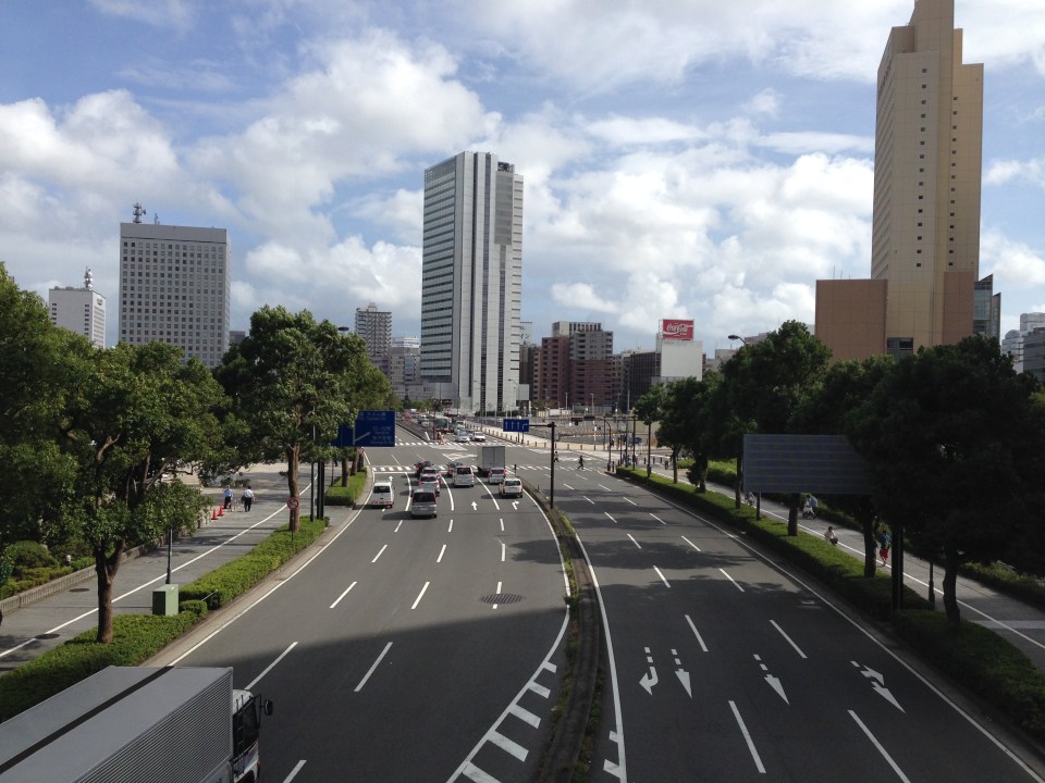 Depending on how one sees it, Minato Mirai Odori is a 10-lane road with 4 lanes allocated for walking and cycling (i.e., 1 lane each on either side of the lanes for motor vehicles).
 Pedestrian bridge connecting Minato Mirai Odori with the World Porters commercial development
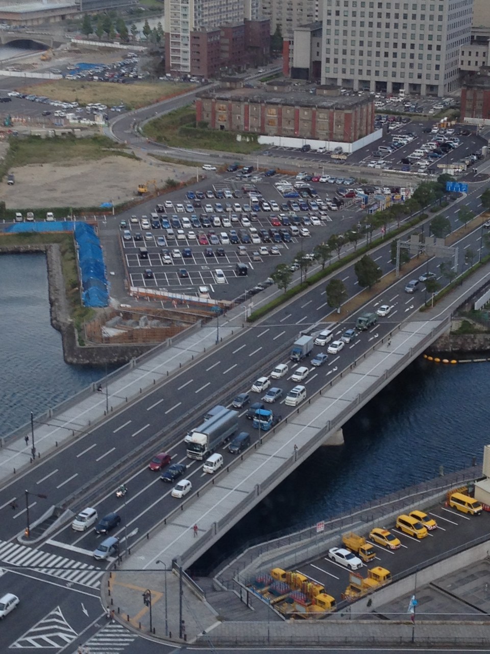 A 10-lane bridge with 2 of 5 lanes per direction devoted for walking and cycling. That’s a full lane of at least 3.2 meters allocated for pedestrians and another full lane for cyclists. While it is not shown in the photo, the pedestrian and cycling lanes are efficiently utilized during the peak periods.
–
