
There are current discussions regarding the highway and street designs mostly from the perspective of safety. These discussions include those hosted by the academe and those posed as challenges by practitioners, mainly architects with experience designing similar facilities abroad and who are advocating for more people-friendly designs. Such discussions are slowly but steadily gaining traction in the Philippines but has met with some resistance in the form of key persons and agencies not giving due attention to the design challenges being posed that would have implications on planning and design guidelines. That is, the implications of promoting people-friendly designs in our roads will require changes in the National Building Code as well as the Highway Planning Manual of the Department of Public Works and Highways (DPWH). These changes will include standards and specifications for the geometric design of walkways and bikeways integrated into our roads and a departure from the current approach that basically treats pedestrian and cycle facilities as an afterthought to motorways.
I’m posting a few photos I took from a recent visit to Yokohama, Japan, which was my home for 3 years back in the 1990s. Much has changed in Yokohama since I last visited in 2008 but notable are the people friendly transport infrastructure including pedestrian and cycling facilities. Following are photos taken in the Minato Mirai district of the city.
 Pedestrian and cycling lanes along the main road of Yokohama’s Minato Mirai district. The tree-lined street provides a conducive environment for walking and cycling.
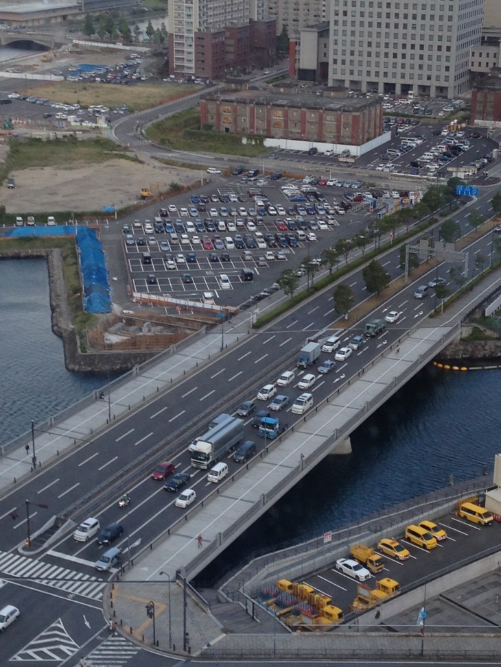
 Depending on how one sees it, Minato Mirai Odori is a 10-lane road with 4 lanes allocated for walking and cycling (i.e., 1 lane each on either side of the lanes for motor vehicles).
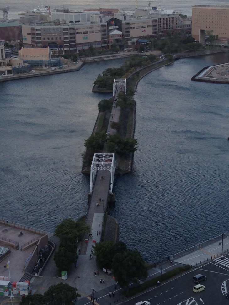 Pedestrian bridge connecting Minato Mirai Odori with the World Porters commercial development
 A 10-lane bridge with 2 of 5 lanes per direction devoted for walking and cycling. That’s a full lane of at least 3.2 meters allocated for pedestrians and another full lane for cyclists. While it is not shown in the photo, the pedestrian and cycling lanes are efficiently utilized during the peak periods.
–

Depending on the type of cycling you do, South East Michigan is eihter pretty good or pretty bad. The area is pretty good for commuting on bike. The road system is laid out in a grid of major surface roads in 1 mile squares (Mile Roads). Halfway between the Mile Roads is a wider than normal residential road. These half mile roads usually have a speed limit of 25 mph, are usually at least a lane and a half and they almost always have a traffic light when intersecting a major surface street. You can usually find a route using these half mile roads that can safely get you to where you want to go. I when I commute, I can use the half miles roads to safely get me from the North Woodward area to Dearborn (14 miles north west of Detroit to west of Detroit). The biggest problem I encounter is that there is no good way to get over expressways. As a cycling, usually you have to a Mile Road to cross an expressway. The Mile Roads are death traps for cyclists.Good recreational riding is challenging to find. The half mile roads can be used but they’re straight and flat north/south or east/west roads. The half mile roads are safe but boring. There’s a nice Rails to Trails system that can take you from northern Lake St. Clair to Chicago but most people would probably need to drive and park. To find roads where you can ride two or three miles with out stopping requires some creativity and lowered expectations or a drive out of the area.