
Home » Public Transport (Page 61)
Category Archives: Public Transport
Municipal transport in San Francisco – Part 1
San Francisco has an extensive public transport system with the combination of buses, LRT’s and cable cars allowing its citizens and visitors both accessibility and mobility for much of the city. A friend says that the objective Muni set out to accomplish was for anyone using the system to be able to alight from a public transport vehicle at most one block from one’s final destination. A block already represents a very comfortable walking distance well within the 200 to 300 meters radius often mentioned by public transport planners for the catchment areas of stops or stations.
SF’s Muni operates several types of buses including what are probably among the last electric trolley buses in the world.
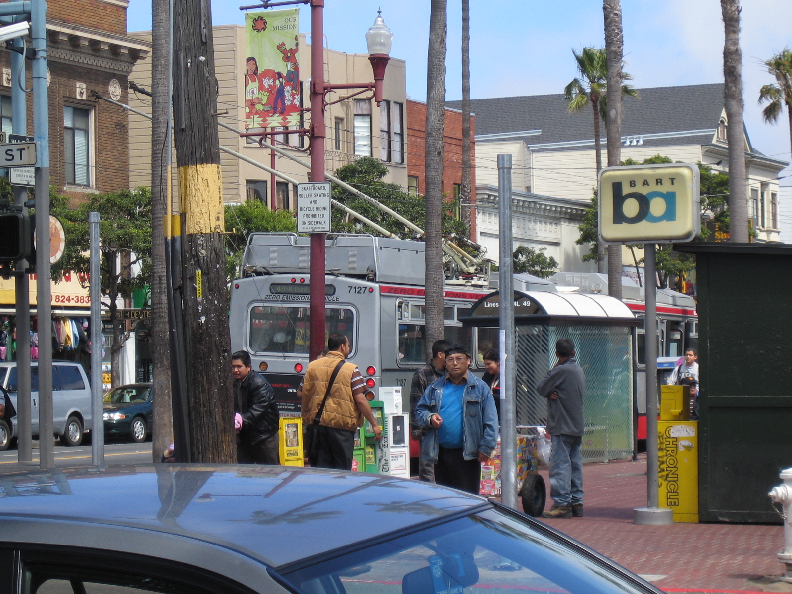 That’s a trolley bus in the photo above stopping near the BART station where I was waiting to be picked up by a friend. Note the flexible, long pantograph that is used to pick-up electricity from the overhead cables. The photo was taken in 2007 during a previous trip to the Bay Area.
Following are three photos I took back in 2007 at an intersection across the Balboa Park BART Station, where I thought I hit the jackpot in terms of watching the Muni’s various transport modes pass by. Think bird-watching but replace the birds with buses and LRTs.
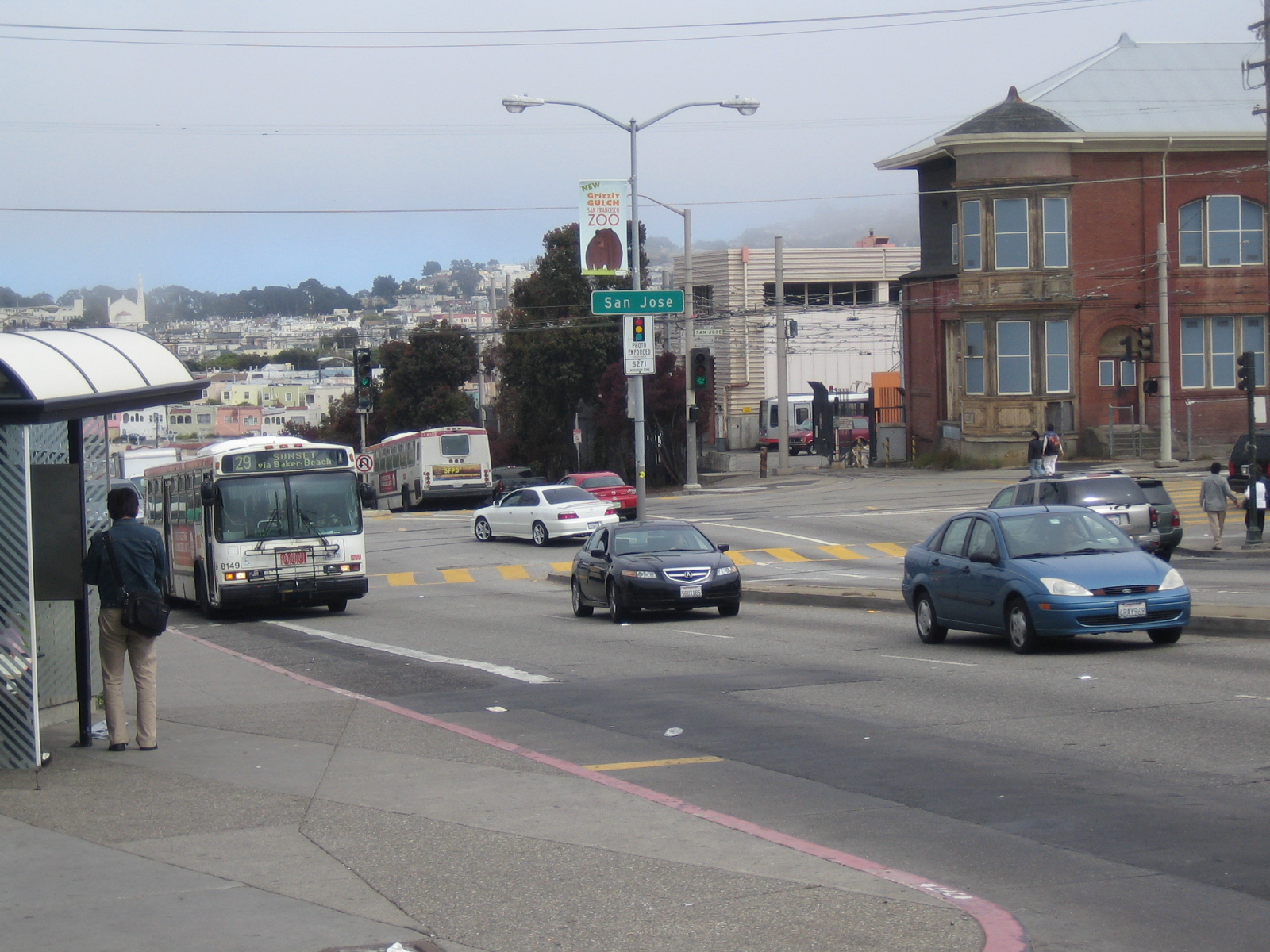 The typical Muni bus has a number designating its route that can easily be found in transit maps to guide regular commuters and visitors alike. Most buses I saw had bicycle racks located in front of the bus that would enable cyclists to bring along their bikes during a long commute. Most buses these days run on natural gas. On the far right of the photo, one can get a glimpse of a LRT vehicle.
 LRT vehicle coming out of the depot – the rails are embedded on the pavement and allow for the mixed use of roads by motor vehicles and LRTs.
 LRT crossing the intersection. LRTs are given priority at intersections and the traffic signals are programmed to facilitate the flow of these high capacity public transport mode. This is a reflection of prioritization of public transport over private transport, which should be the case rather than the other way around.
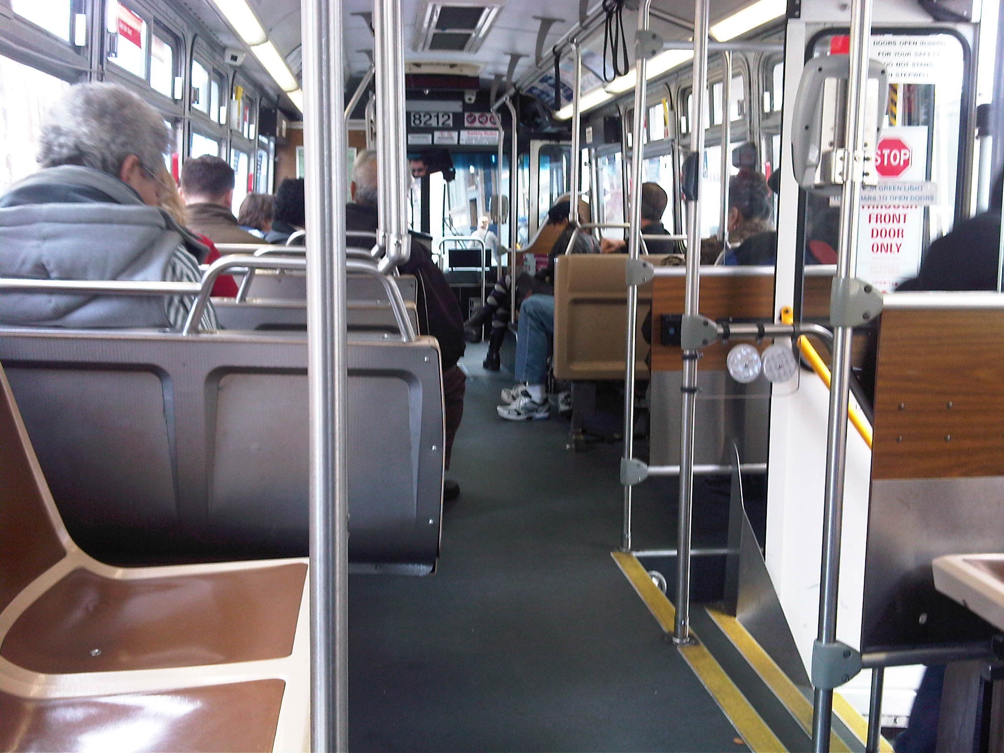 Inside a bus in San Francisco, there are seats provided for the elderly and the physically challenged. Entrance is via the front door where a passenger must first pay for the ride or show his pass for the driver to see. Exit is via the back door, which is wider to allow for the efficient unloading of passengers. To stop the bus at the designated stops along the route, a passenger should push a button (on the newer buses) or pull on a cable (on older buses) to activate a signal for the driver. To open the rear doors, one need only to push the bars across the doors.
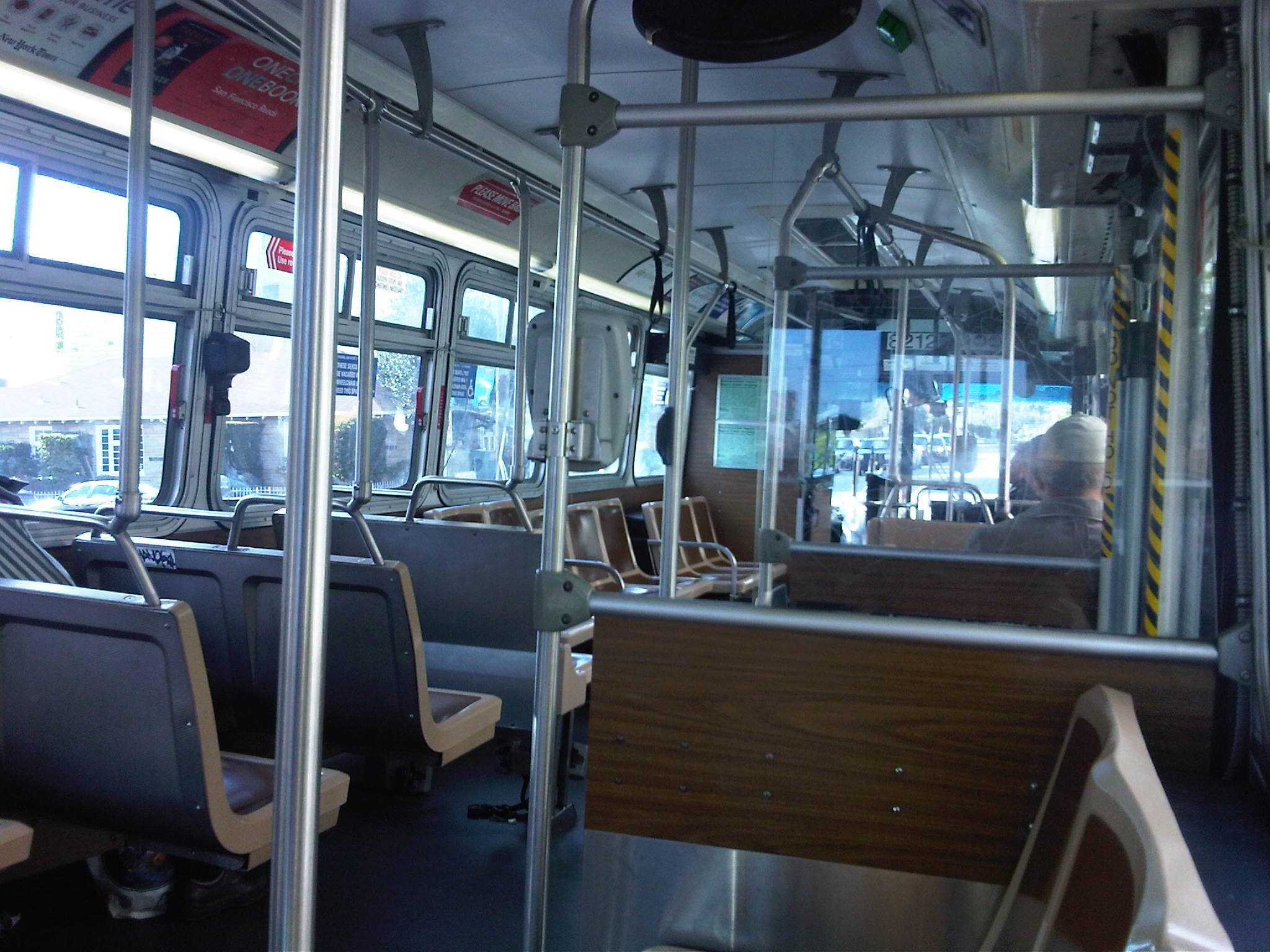 Another look at the interior of a Muni bus. Although the bus appears to be old, it is clean/tidy. There are the occasional vandalism and there are signs asking passengers to report incidence of vandalism on the bus. There are also signs stating that conversations may be recorded and that the bus is under video surveillance. These seem to be standard security features of public transport in the US especially after the incidents of 9/11. Such information is welcome considering everyone would prefer to travel safely.
San Francisco’s Cable Cars
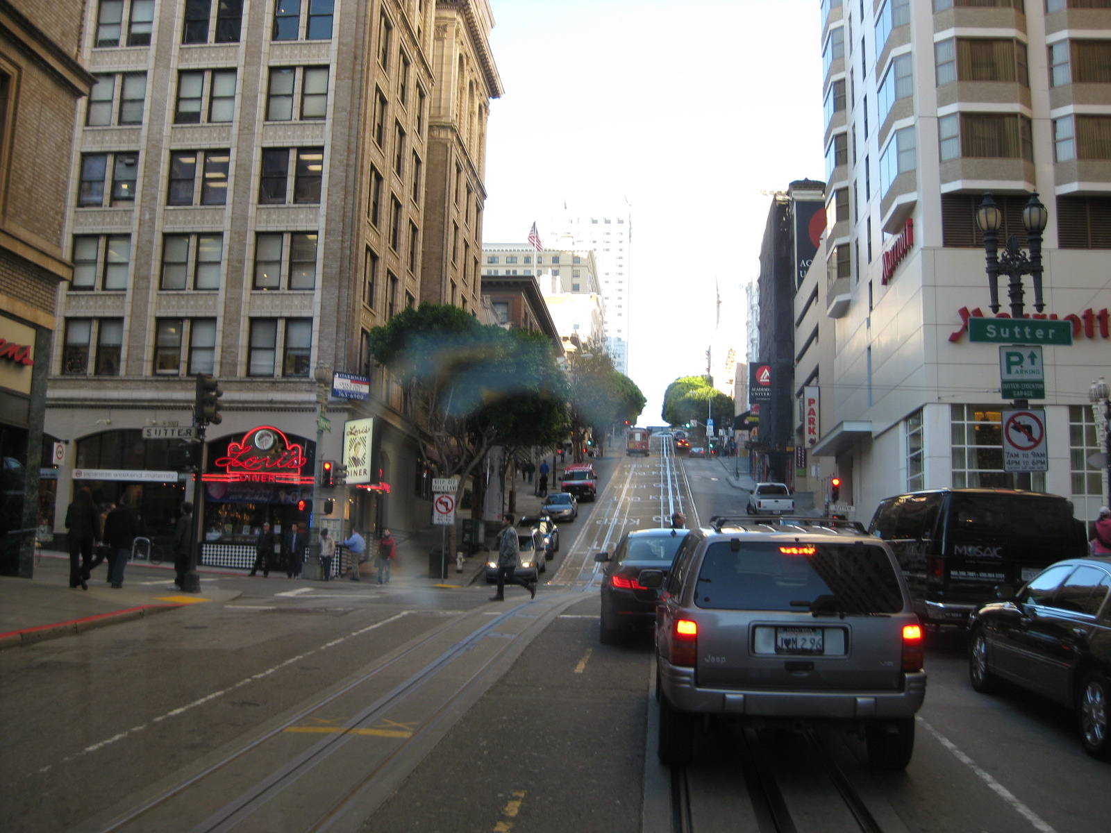
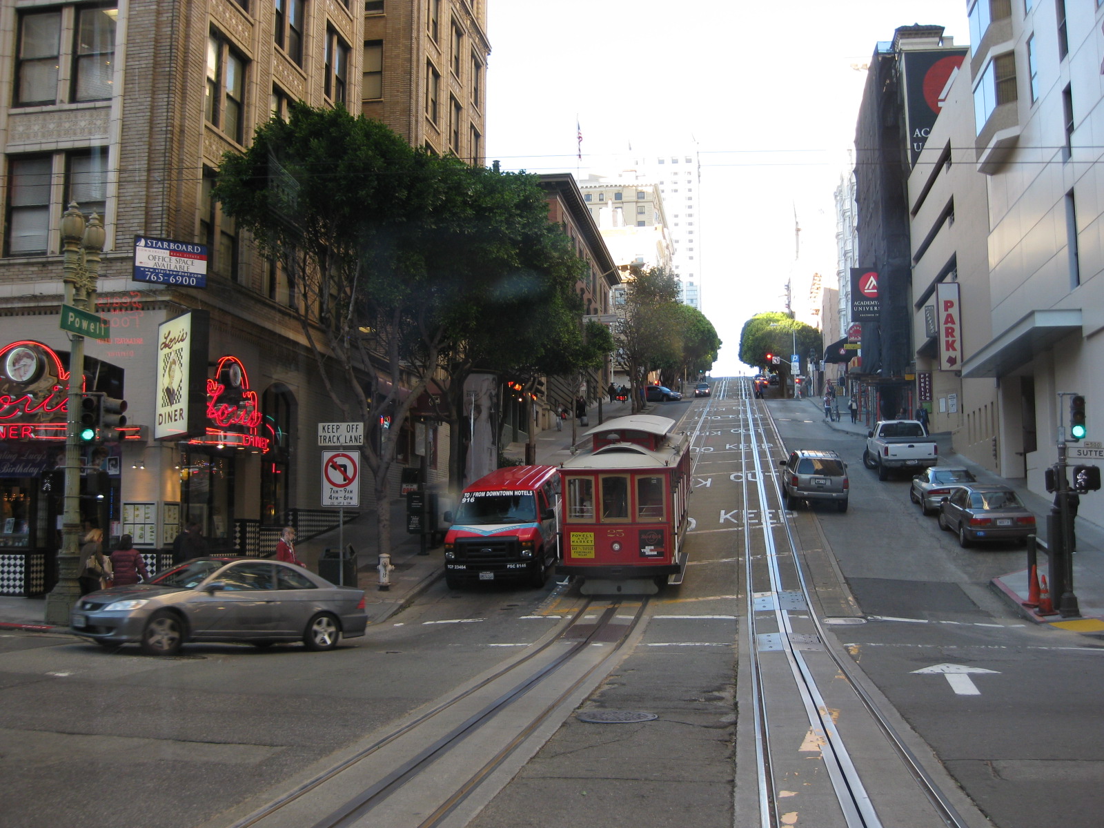
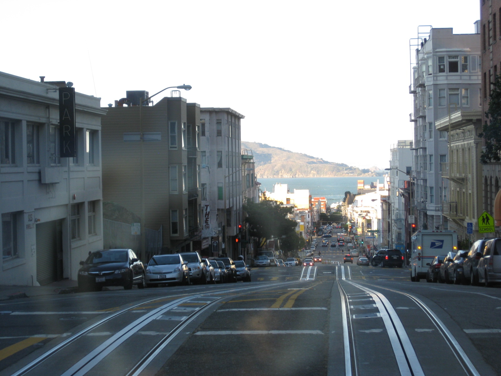
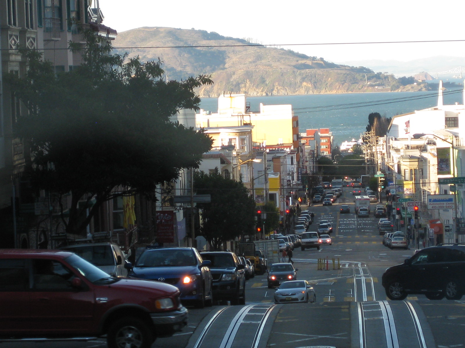
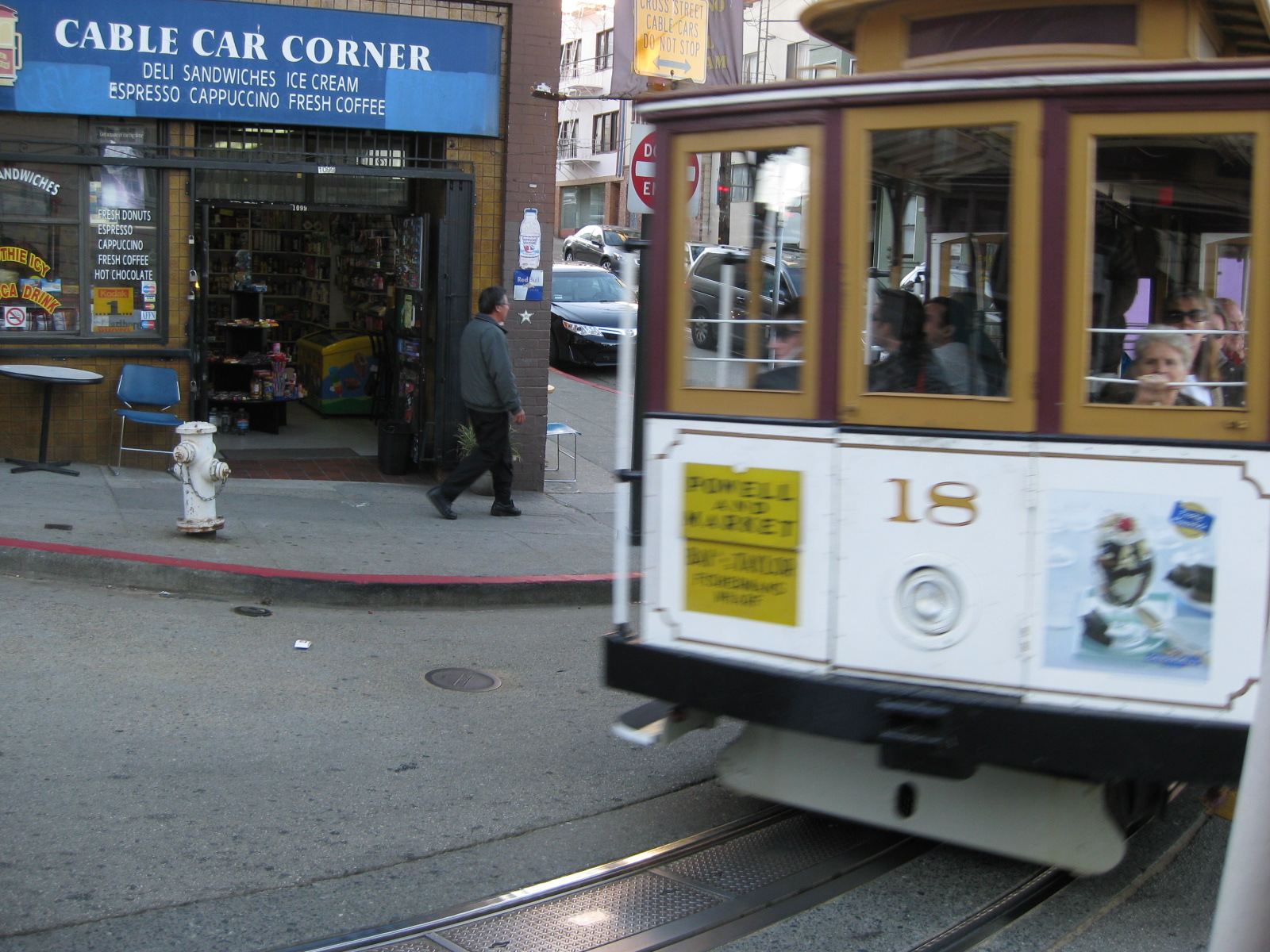
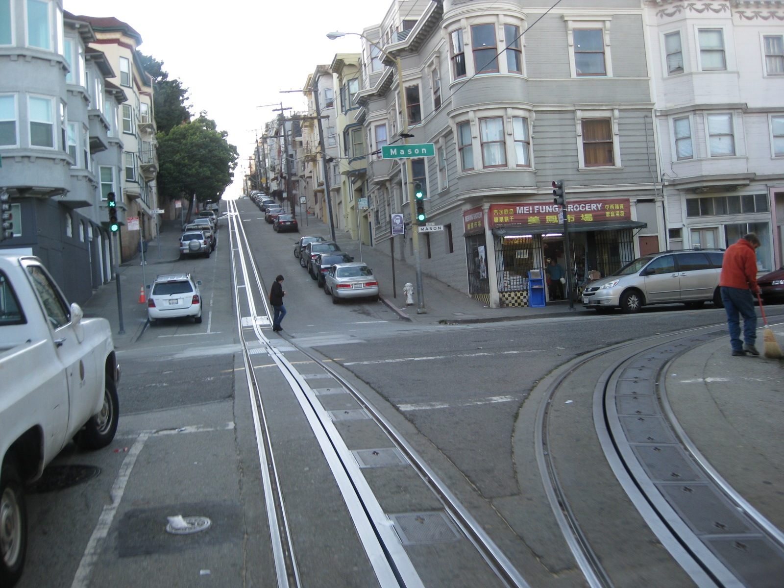
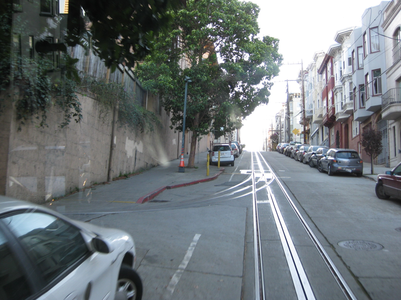
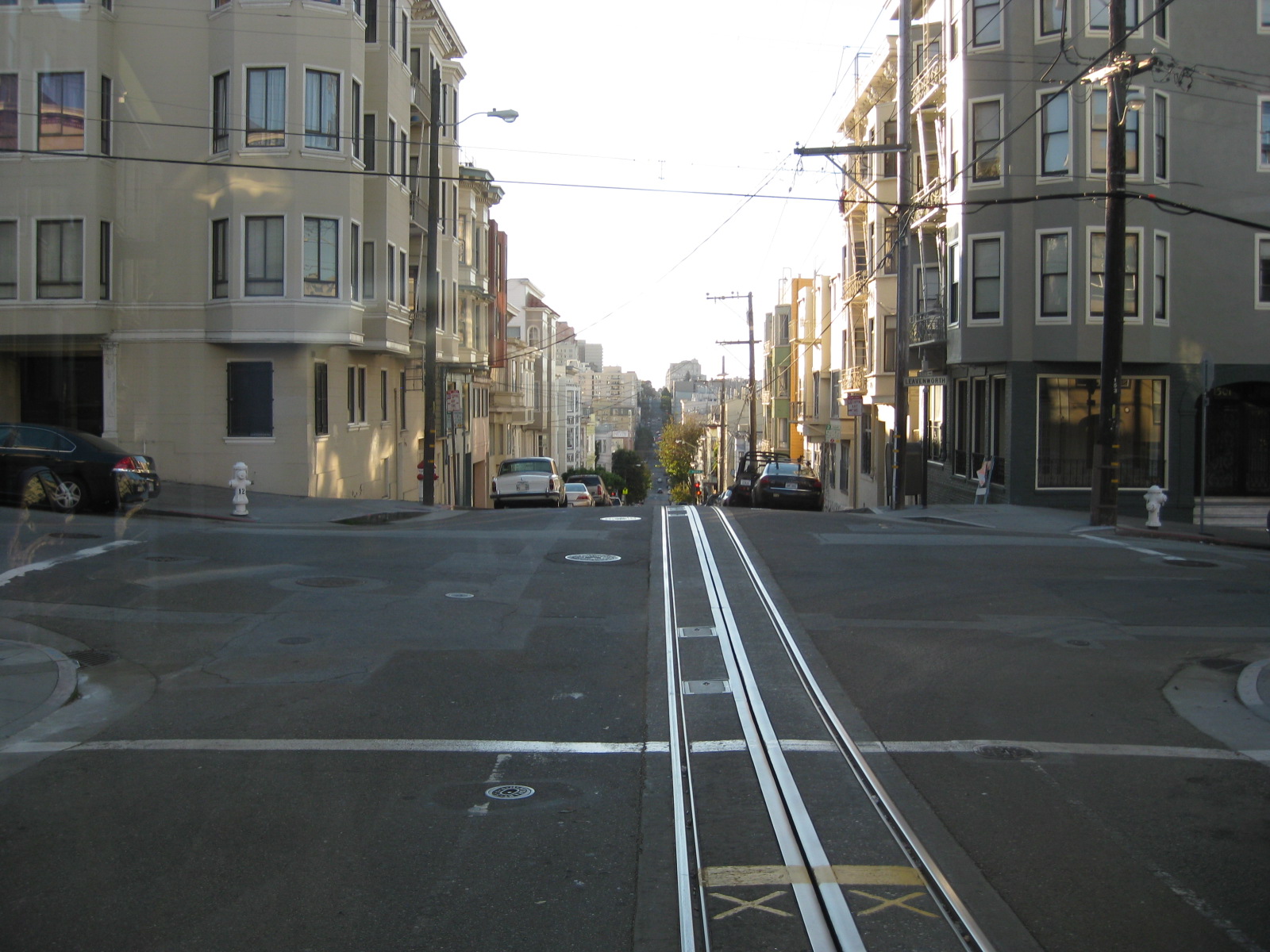
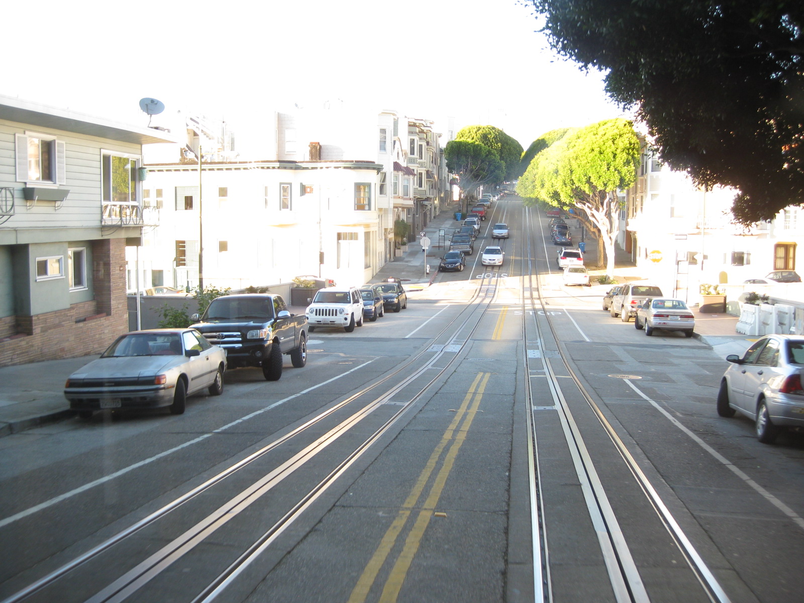
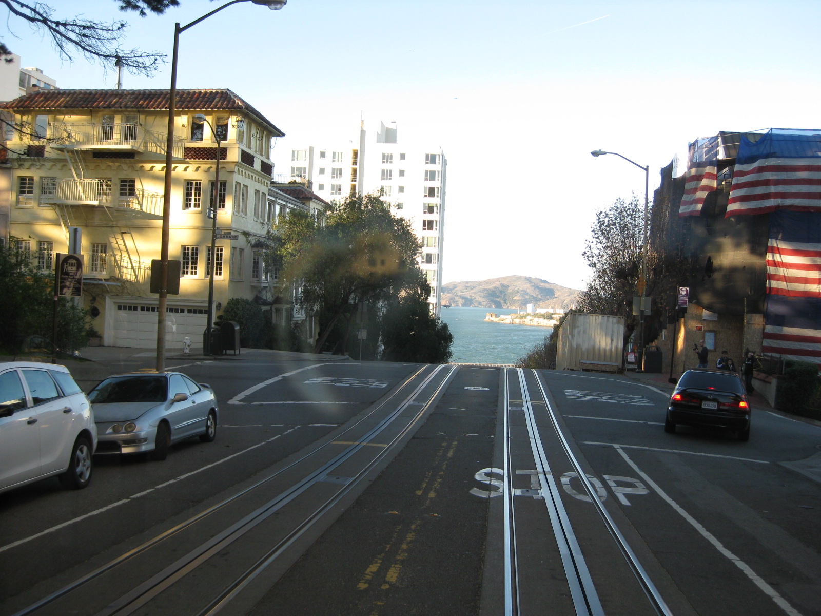
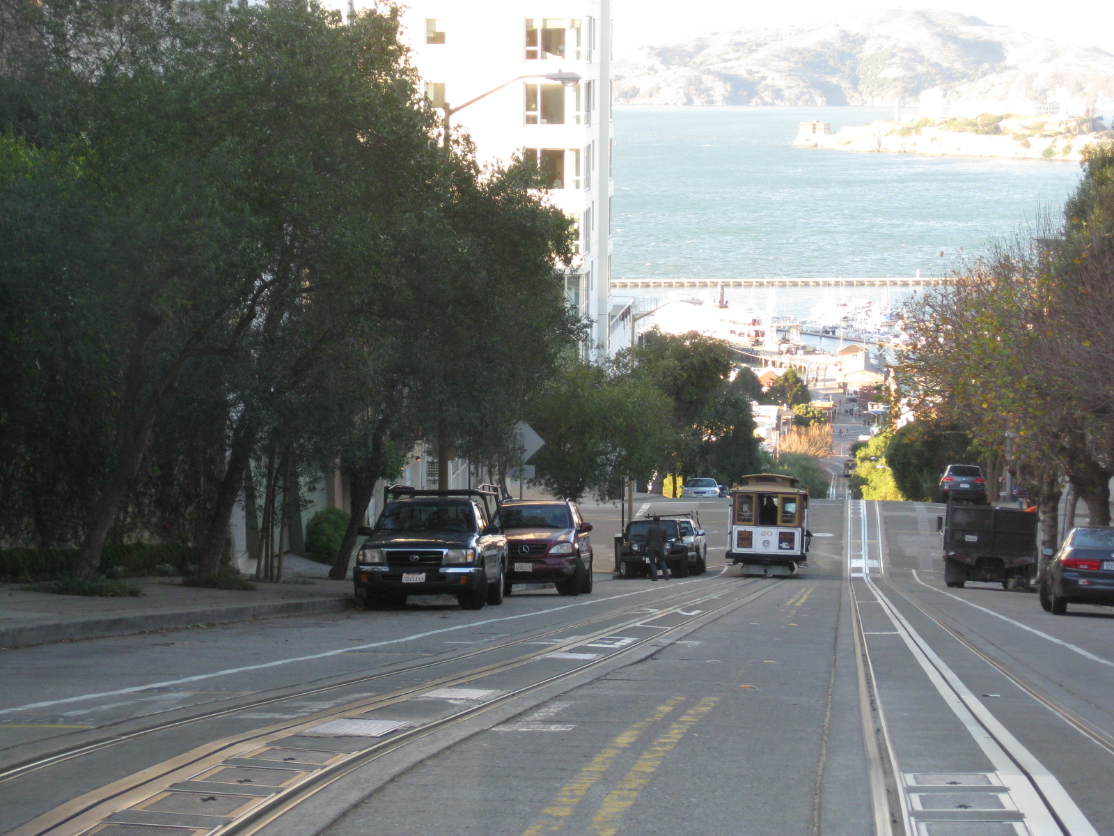
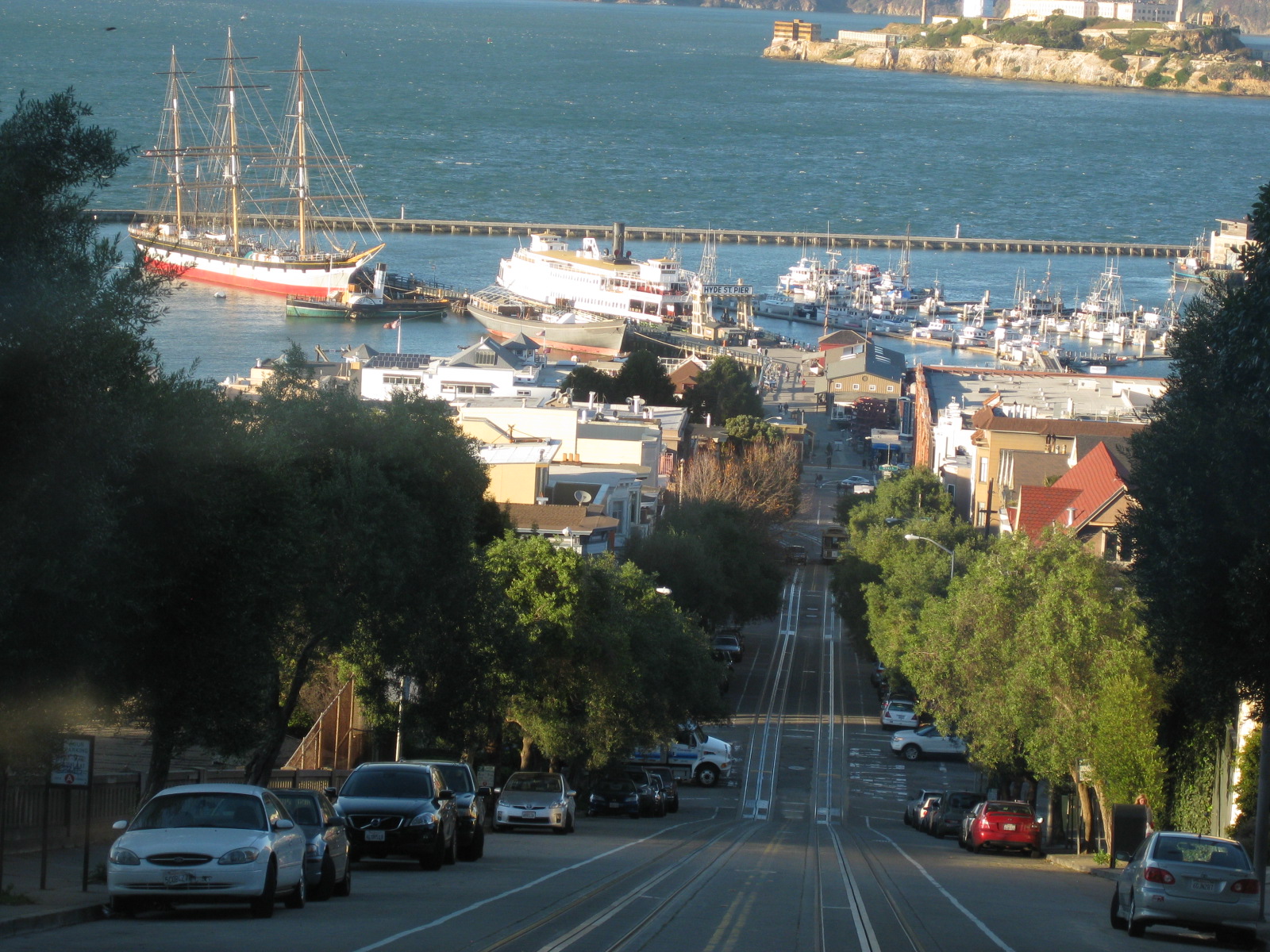
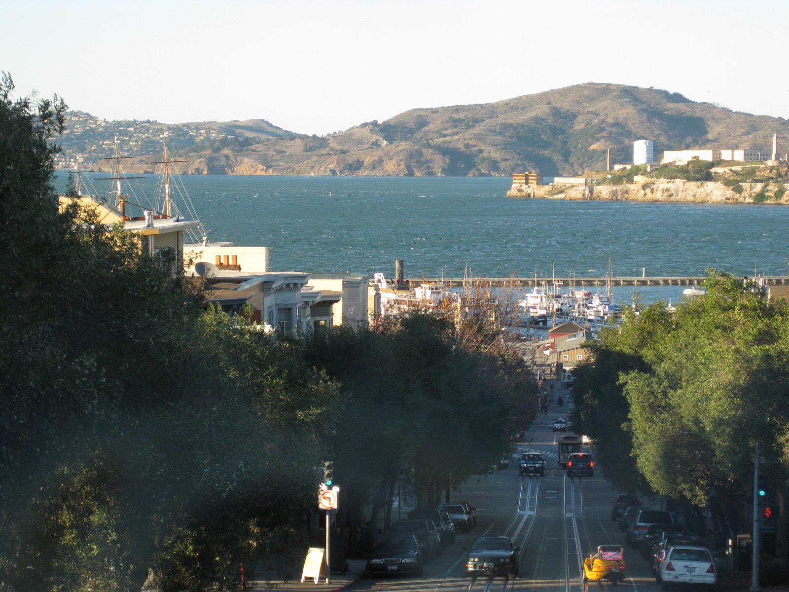
The photos show a particular journey aboard a Powell & Hyde cable car from Market Street (near Union Square) to Hyde Street (near Argonaut Hotel). The trip takes one through notable spots like Union Square, Chinatown, Nob Hill and Russian Hill, including a stop at Lombard Street that has that famous crooked section popular with tourists and residents alike. There are also breathtaking views of the bay as the cable car descends towards Mason or Hyde Streets, towards the pier.
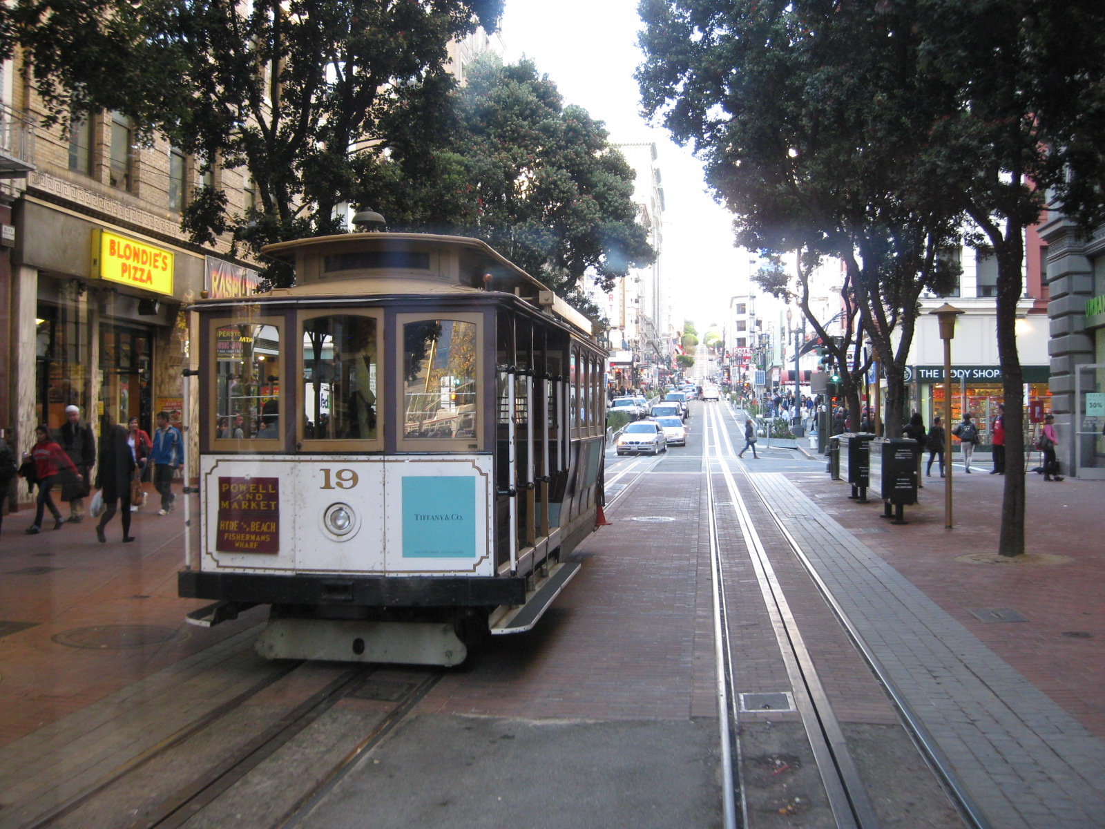 Cable car arriving at the end of the line near Market Street
–
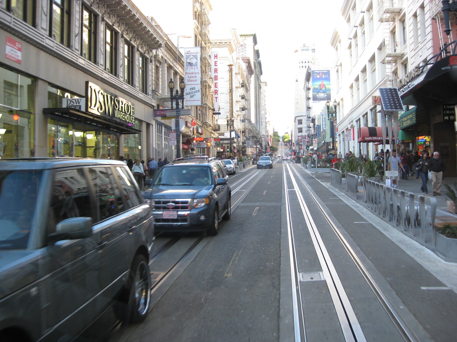
 To the right is Union Square famous for its Christmas Tree. However, there is that monument at the square that people tend to take for granted. Filipinos should be aware that it is one commemorating the victory of one Comm. Dewey and the US Fleet over Adm. Montojo and the Spanish Fleet in Manila Bay back in 1898, a significant part of Philippine and American histories.













Transport mode shares in Metro Manila
Fairly recent surveys (first quarter of 2011) along major corridors in Metro Manila have yielded the following data on transport modes shares in the National Capital Region. Such data, while quite specific for the corridors surveyed, strongly indicate that most people take public transport. As such, it is quite logical that public transport be prioritized and perhaps provided with the road space they require to be more efficient in conveying passengers to their destinations. There are mixed results in terms of which types of vehicles tend to dominate the road and these are noted below. Note that data for rail is not included but should favor public transport as well. Taxis, in this case, are classified among private vehicles. Trucks are not considered here as passenger vehicles though they do carry people.
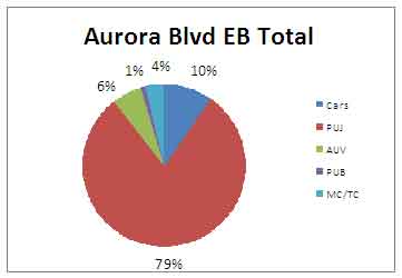 Person trip mode shares along Aurora Boulevard eastbound (to Rizal & Marikina) – jeepneys account for 79% of road-based transport while cars carry 10% of person trips. In terms of vehicle share of the road, cars account for about 25% of the road while jeepneys take up about 59% after converting jeepneys into passenger car units using the assumption of 1.7 pcu = 1 jeepney. Such assumption is also used in other estimates.
 Person trip mode shares along Aurora Boulevard westbound (to Cubao/Quezon City) – jeepneys account for 76% of road-based transport while cars carry 14% of person trips. Meanwhile cars occupy 31% of the road while jeepneys use 57%.
Interesting for the above statistics is the fact that these numbers do not reflect the actual share of public transport given that there is a rail transit service along this corridor. LRT Line 2, however, terminates before reaching the Province of Rizal, which necessitates the transfer of passengers from rail to mainly jeepneys towards their final destinations.
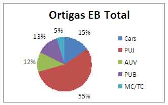
Person trip mode shares along Ortigas Avenue eastbound (to Rizal Province) – jeepneys account for 55% , buses 13% and AUVs 12% of road-based transport (total of 80% for PT) while cars carry only 15% of person trips. Cars occupy 37% of the road while jeepneys eat up almost the same at about 37%. AUVs are quite significant along this corridor taking up 12% of the road. Surprisingly, buses only occupy about 5% assuming 2.5 pcu = 1 bus. Perhaps Ortigas can be decongested if public transport services along the corridor are rationalized with many jeepneys retired in favor of the higher capacity buses.
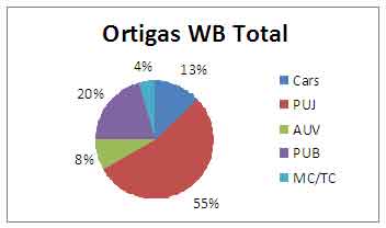
Person trip mode shares along Ortigas Avenue westbound (to Mandaluyong/Manila) – jeepneys account for 55% , buses 20% and AUVs 8% of road-based transport (total of 83% for PT) while cars carry only 13% of person trips. Cars take up 38% of the road, jeepneys also 38%, AUVs 9% and buses only 4.5%.

Person trip mode shares along Commonwealth Avenue northbound (to Novaliches) – jeepneys account for 30% , buses 35% and AUVs 5% of road-based transport (total of 70% for PT) while cars carry 26% of person trips. Cars take up 57% of the road, jeepneys 17%, AUVs 6% and buses about 12%. Meanwhile, motorcycle account for about 8% of road space along Commonwealth NB. Note that Commonwealth is the widest road in the country with sections having up to 10 lanes per direction. The two outermost lanes are typically designated for PUVs while the 4th lane from the roadside is designated as a motorcycle lane.
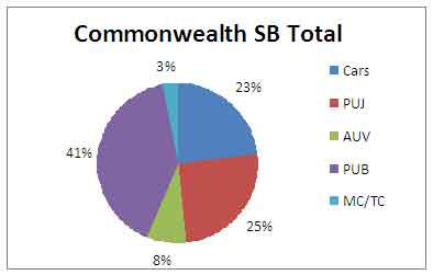
Person trip mode shares along Commonwealth Avenue southbound (to Elliptical) –
Note that there is a proposed MRT 7 to be constructed along Commonwealth and that system will also favor public transport users. Such a system should be more efficient in carrying passengers along the corridor and should provide an opportunity to rationalize PUJ and PUB numbers along Commonwealth. And such an opportunity should be taken and not passed up if government is really serious in improving transport in Metro Manila.
Person trip mode shares throughout the country will surely have similar numbers if not higher shares for public transport compared to Metro Manila. This more than underlines the impetus for providing safe, efficient public transport services for Filipinos – a commitment that should not only be stated or printed but actively pursued with government in the forefront rather than on the sidelines.
Graphs and other stats mentioned derived from data from surveys for the Mega Manila Public Transport Planning Support System (MMPTPSS), 2011.
iBus – bus system reinvented?
In the recent British Invention Show, a Filipina won a gold medal for something that is probably much needed to solve the transport woes of this country – the iBus. It is of course initially conspicuously like your regular bus system but upon closer look at the slideshow from the news article, there are many things about the system that’s high tech. The high tech aspects of the iBus are actually example applications of Intelligent Transport Systems (ITS) as implemented for public transport.
I am not privy to the details for the iBus but I did see part of its progress after meeting a few times with its proponents since last year. With the award, I hope that perhaps our DOTC, LTFRB or MMDA will become interested in the system and perhaps that interest will translate into the deployment of the system in a test corridor as a proof of concept. I would even dare propose that should the demo be successful that it be applied immediately in Philippine cities requiring modern transit systems.
Railways of old in Manila and Rizal
One of the great “what if’s” for public transportation in Metro Manila and its surrounding areas pertains to rail transport that were operated in the Cavite and Rizal provinces prior to the Second World War. The present-day developments along what were railway corridors attest to the viability of these areas for development and it can be argued that rail transport services here could have been a game-changer in as far as public transport is concerned and may have significantly influenced travel preferences and behavior in these areas. These would not be light-rail but heavy-rail services and would certainly have had higher passenger capacities.

Close-up for railway lines from the figure in a previous blog
An even better close-up is provided in the following figure that shows three lines that could have shaped developments to the east and southwest of Metro Manila. These are the Cavite Line, the Marikina Line and the Antipolo Line.
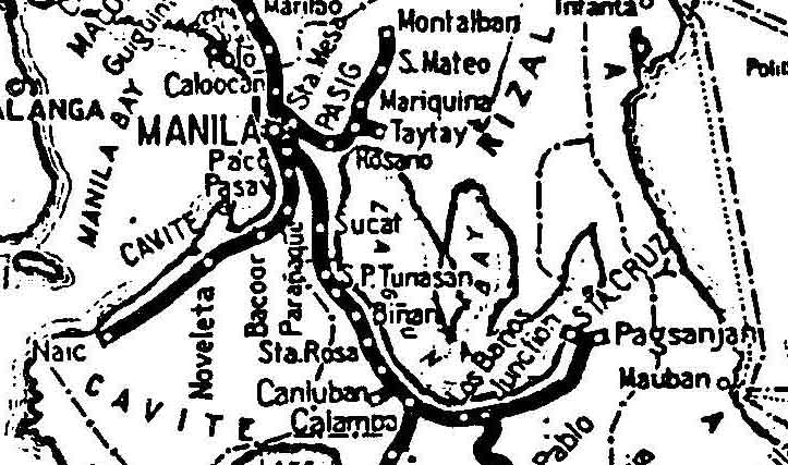
Close-up for Cavite, Marikina and Antipolo Lines of the Manila Railroad Company
Following are the breakdown of stations for the three lines:
- The Cavite Line stretched from Manila through Paco, Paranaque, Bacoord, Noveleta until Naic in Cavite Province for a total of 44 km. Completed in 1908, it was abandoned in 1936.
- The Marikina Line started from Rosario (presently in Pasig and along an area still called Tramo) to Montalban via Marikina (where there is still a Daang Bakal) and San Mateo for a total of 31 km. Completed in 1907 (until Marikina in 1906), the entire line was abandoned in 1936.
- The Antipolo Line started from Manila and passed through Sta. Mesa, Pasig (likely somewhere in what is presently Bagong Ilog), Rosario, Taytay (through present day Cainta) and until Antipolo (near Hinulugang Taktak where there is still a Daang Bakal). Completed in 1908, the line was abandoned in 1917. The alignment from Cainta and Taytay crossed what is now Ortigas Ave. Extension at the Valley Golf gate and stretched along an alignment that appears to have the gentlest slope for a climb to Antipolo.
Clearly, if these lines were not abandoned but instead retained and developed even after World War 2, commuting preferences and behavior in Metro Manila could have been quite different. In fact, people could have chosen to travel by train instead of being dependent on cars. For those residing or working in the south (i.e., Paranaque, Las Pinas, Muntinlupa, towns of Cavite, Laguna and Batangas) maybe people would have a viable alternative to the tollways in those areas. Note that the only operating rail transport in the area is the PNR Commuter Line that is currently experiencing a renaissance of sorts. Hopefully, its rehabilitation is completed and more passengers patronize the service.
Rizal is presently not served by any railway until perhaps LRT Line 2 is finally extended towards Antipolo via the Marcos Highway corridor. The Marikina-San Mateo- Rodriguez (formerly Montalban) areas are accessible via national roads that are often congested primarily due to paratransit traffic. The more progressive towns of Rizal (Cainta, Taytay, Binangonan and Angono) as well as its capital city of Antipolo is accessible mainly via either Ortigas Avenue or Marcos Highway. Both highways are already quite congested and road widening options are quite limited especially for the heavily traveled Ortigas Ave. One can only imagine now how a rail system could have addressed the travel demand along these corridors and perhaps enhanced the quality of living in these areas.
Informal rail transport
After my talk at the Ateneo De Naga, we went around the city to have a look at its roads and transport. As we had already seen the previous day that there were motorized trolleys in that city, we made it a point to visit one informal terminal located at a junction. The following photos are a documentation of our taking a closer look at informal rail transport in the Philippines.
 Taking a closer look at the motorized trolleys of Naga City – our driver Roy speaks to two drivers/operators of the trolleys to ask them about operations. The trolleys are not so much different from the one we saw along the road while traveling through the towns of Quezon Province and certainly look like their relatives in Manila. They are made of light but sturdy bamboo with the occasional metal parts and some have makeshift couplers in case two or three are connected to form trains! The trolleys even have benches to allow for a few seated passengers.
 Passenger mix – the trolley service is popular to different users including students and laborers. They are cheap and the most practical (direct) mode of transport to their home, which are located along the railway line. Note the concrete ties for the tracks, indicative that this section has already undergone rehabilitation in the past when the old wooden sleepers were replaced by concrete ties.
 Informal freight transport – goods like rice and flour are also transported using the trolleys. I assume there are also stores in communities along the tracks and that the most convenient way of transporting commodities (paninda) would be via this mode.
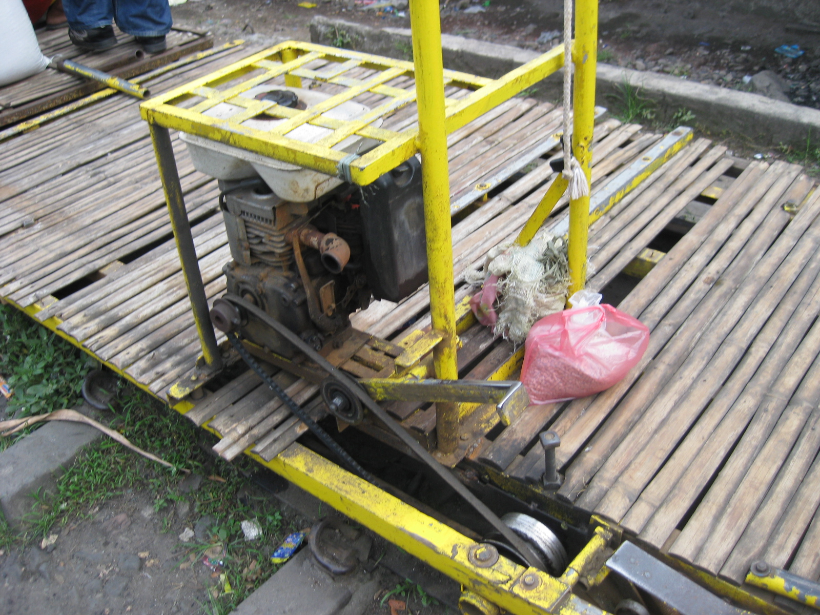 Motor power – while most if not all the trolleys in Manila are human-powered (partly because they should be light enough to lift in case trains do come given the increasing frequency of PNR commuter line services), the Naga trolleys use motors similar to that being used by boats.
 Driving wheel – while trains may be powered by locomotives, the trolleys have motors typically used by pumpboats and by the tricyboats found in the Visayas and Mindanao (tricycles powered by the same motors). The driving wheel is connected to the motor to move the vehicle and the contraption on the lower right and just beside the driving wheel is the brake mechanism. Thus, the driver is usually positioned just behind the motor where he has access to both the motor and the brakes.
 Fully loaded – a single trolley can carry as many as 25 passengers depending on their weight and size (more if there are many children in the mix). I think there are about 24 passengers on this trolley about to depart from the informal terminal.
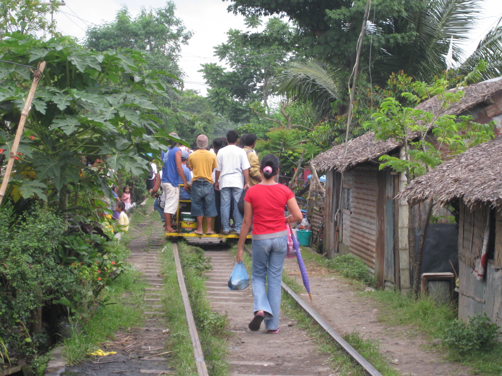 Off they go – with a full load and each person paying 10 pesos for the ride, the driver can earn about 200 pesos for one run or 400 for a roundtrip. Operating costs are quite simple including fuel and maintenance costs. On a typical busy day, a driver can have about 5 round-trips. Note how close houses are to the railway tracks.
 Next in line – the driver of the next trolley positions his vehicle and waits for passengers. We estimated it took something like 15 to 20 minutes to get a full load during the afternoon peak period when we were at the informal terminal. It would probably be longer during the off-peak periods.
 A view of the tracks on the other side of the road – we learned that the area along the tracks is not served by the trolleys.
I can imagine that with the resumption of the Bicol Express service between Manila and Naga City, the people operating the trolleys would eventually have to deal with more frequent arrival of trains. Currently, the PNR services would probably pass through the trolleys’ service areas during the night-time so there will be very limited conflict at present. However, further rehabilitation of the Main Line South and the resumption of services all the way to Legaspi City should already serve as a notice to informal rail transport and the concerned local governments that the days of the trolleys are numbered.
Conflicting flows – driver and rider behavior in the vicinity of flyovers
Typical issues concerning traffic flow along sections approaching or departing from the ramps of vehicular overpasses or flyovers include weaving. Simple observations will reveal that a significant number of vehicles, regardless of whether private or public, passenger or freight, big or small, have a propensity to change lanes before and after a flyover. Such weaving behavior is a consequence of driving behavior in this country where many drivers and riders often are unmindful of planning their trips as well as the proper positioning of their vehicles while using the road. Many drivers and riders seem intent only in bypassing points of congestion and do not have any respect at all for the rights of other road users as well as for the rule of law along highways and streets.
I took the opportunity of taking a few photos after an interview conducted atop the pedestrian overpass along Commonwealth across from Puregold and near the Tandang Sora flyover. Below are a few photos taken during nightfall on Monday showing typical behavior of drivers and riders in the vicinity of the foot of the Tandang Sora flyover.
 Jeepneys occupying five (5) northbound lanes of Commonwealth Avenue, including the lane designated for motorcycles (delineated by the blue lines) – Most public utility vehicle drivers in the Philippines seem to abhor queuing and the prevailing practice is for most of them to try to bypass others by encroaching along the middle lanes. Instead of a First In First Out (FIFO) discipline that is desirable for conventional public transport operations, its more like a Last In First Out (LIFO) state along loading/unloading areas.
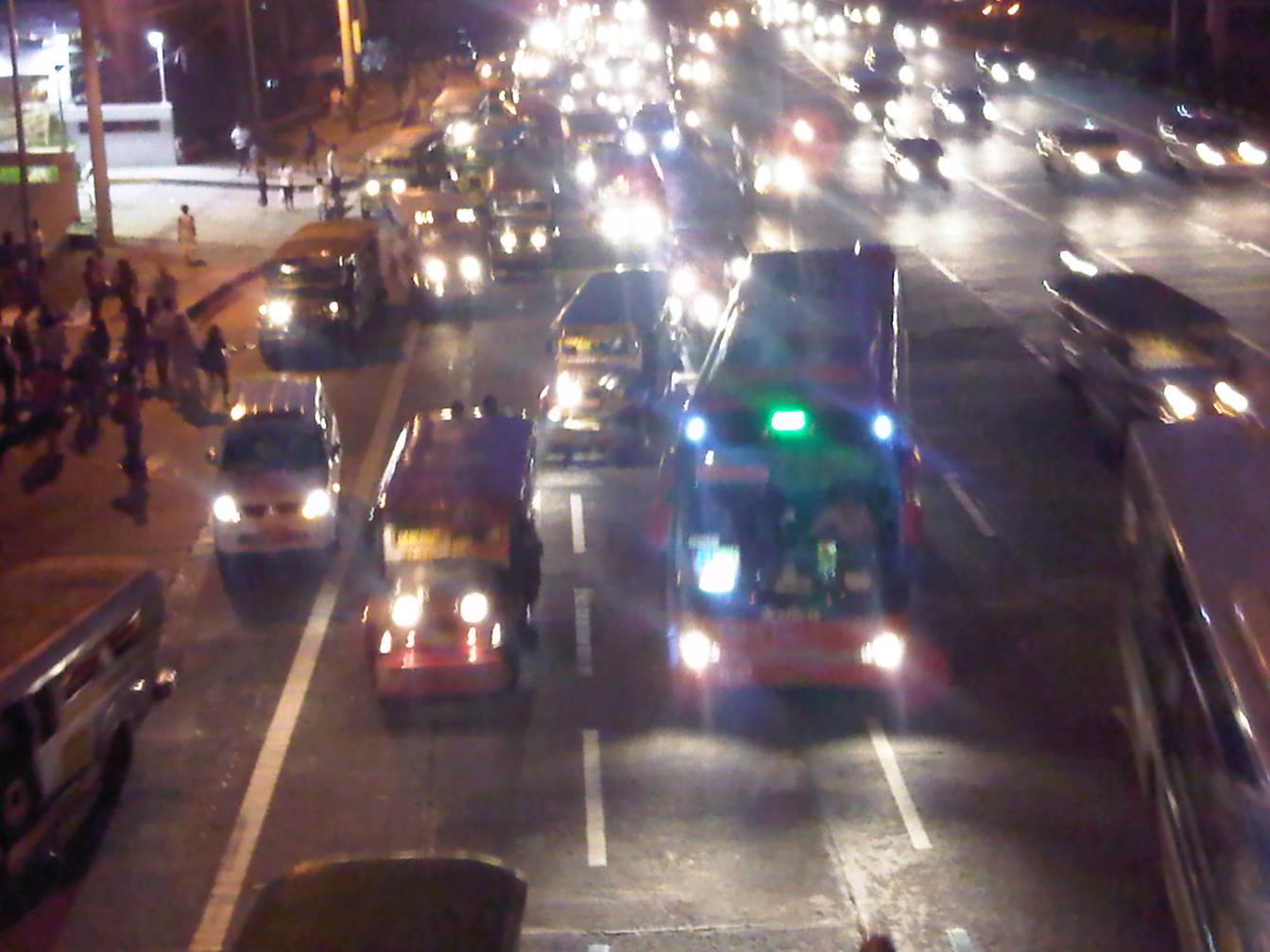 Buses joining the fray of vehicles in the same area – Note that practically 4 to 5 lanes of Commonwealth are occupied by buses, jeepneys and AUVs, effectively blocking motorcycles from using the lane designated for them. Such behavior in the vicinity of the foot of the Tandang Sora flyover also influences private vehicles to shift towards the inner lanes of the highway and unto the path of vehicles descending the flyover.
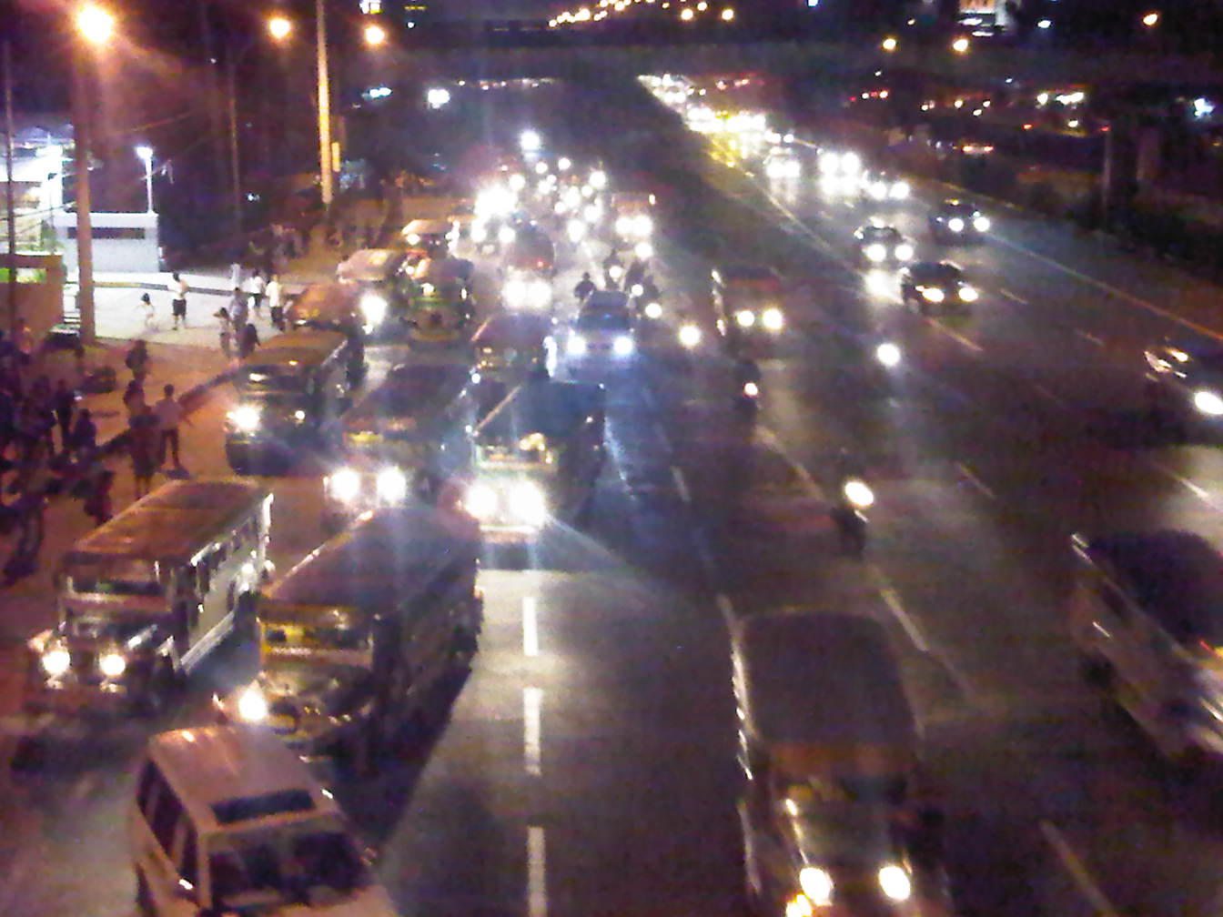 Motorcycles (they with the single headlights) using the 5th and 6th lanes of Commonwealth – riders have no choice in this situation where PUVs have occupied the motorcycle lane and behave as if they are the the only road users in the area. PUVs are observed as generally oblivious of the fact that road space is to be shared and basic courtesy is a requirement for smooth and safe flow to occur.
 As the traffic flow decreases, partly due to the control imposed by the traffic signal upstream at the Tandang Sora intersection, lanes become less congested – motorcycles are then able to return to their designated lane.
The chaotic situation shown in the photos could have been prevented or corrected if enforcers were in the area to manage traffic. There were none in the area, and I only found a few of them a couple of hundred meters downstream apprehending riders where traffic is already free-flowing. I thought perhaps that instead of focusing on apprehending riders, these enforcers were better off trying to address the mess upstream of their position. It is always both frustrating and disappointing to see enforcers diligently doing their jobs in the wrong locations along our highways. And all too often, the drivers and riders they apprehend are not the ones guilty of constricting traffic or posing dangers upon other motorists.
First battery swap program for E-jeepney
I am posting a press release from the proponents of the electric jeepney about the first battery swap program launch this morning. The program will allow for the continuous operations of the e-jeepney in Makati, extending its operating hours as they are no longer limited by the depletion of their batteries. This program will surely have a significant impact on how e-vehicles (not just e-jeepneys) are deployed and presents a model for local government units who are at least curious about having the electric vehicles (perhaps) to replace conventional public transport in their respective cities. This should be a game-changer in the promotion of EST in the Philippines.
Electric jeepney fleet proponent pioneers country’s first battery swap program
(October 19, Manila) The pioneer of the country’s first electric jeepney fleet unveiled this morning an innovative battery swap scheme which its proponents expect “to dramatically improve the efficiency and revenue generation of eJeepney operators.” Over thirty guests, including 22 British volunteers headed to Bohol on Friday for climate change solidarity work, graced the occasion.
“With a little practice, we expect the battery change to take the whole of 10 minutes, which is like a common stop in a gasoline station. The previous eight-hour charging process becomes a thing of the past with this program. It means eJeepney drivers can use their vehicles for a longer period and reduce battery depreciation as well,” said iCSC executive director Red Constantino.
Constantino said “green aims must be coupled with robust economic benefits. We anticipate double earnings for operators, which is superb since we’re already saving a huge amount just because we’re using electricity instead of gasoline to power the vehicles.”
The Institute for Climate and Sustainable Cities, which owns and operates the celebrated eJeepney fleet in Makati City, designed and fabricated the battery program with the support of the British Embassy in Manila. Also known as iCSC, the group is implementing the program in partnership with private sector groups Ejeepney Transport Corp (EJTC) and Motolite.
The scheme is based on a simple roll-off, roll-on logistical set-up, using eJeepneys retrofitted with battery trays and a battery loading bay at the eJeepney depot. A dispatcher rolls out spent battery sets of an eJeepney and replaces it with a fully charged set through a palette lifter manufactured by iCSC.
“Ejeepneys represent carry huge business potential and improvements in operations such as this scheme can create new revenue streams for groups interested not just in eJeepney operations but in battery leasing as well,” said the CEO of EJTC, Yuri Sarmiento.
“We are with you not as passengers but as partners. Together, we can steer our way to a brighter, more sustainable and prosperous future,” said Trevor Lewis, the British Embassy’s Deputy Head of Mission in remarks made during the event.
“Our company is determined to invest in the future of this country and we are elated to be part of this venture,” said Arnold Sarmiento, who represented leading Philippine battery manufacturer Oriental Motolite.
The battery swapping project aims to accelerate the expansion of electric public utility vehicle applications in the Philippines by increasing the operating time of electric jeepney fleets while reducing time used to charge eJeepney batteries. The pilot test period will take place from October 19, 2011 to February 14, 2012. Partners in the initiative hope data from the project can promote a more rapid transition to low carbon transport in the Philippines.
The battery swapping system is located in Makati City’s Fire Station, the site of the country’s first battery-charging station for electric vehicles. Ejeepney units plying the country’s first two routes – the Legazpi Village loop and the Salcedo Village loop — will utilize the battery swap pilot system, which will be run by iCSC, EJTC, Motolite and Makati City jointly.
“We thank the British Embassy in Manila for their support of the city’s endeavors. We are committed to build a low carbon future together with climate change-resilient development,” said Makati City transportation consultant Ernie Camarillo.
iCSC works on fair climate policy and innovative energy solutions for localities. It is the pioneer of the Climate-Friendly Cities project, which integrates sustainable waste management and renewable energy generation with electric public transport alternatives.
Undergraduate research topics on transportation 2011-2012
The Institute of Civil Engineering of the University of the Philippines Diliman is conducting its undergraduate research colloquium today. Expected to present are students who are either at the proposal stage or completing their research. Topics being completed are the following:
- Analysis of Road Accidents Involving Children Below 15 Years Old
- Analysis of the Impact of Billboards on Road Accidents Along EDSA
- Assessment of the Parking Management System in Shopping Malls
- In-Depth Comparative Analysis of Female and Male Bus Drivers for Public Transport in Metro Manila
Meanwhile, topics being proposed are the following:
- Accident Risk by Mode of Public Road-Based Passenger Transport in Metro Manila
- Analysis of Operations of Electric Tricycles
- Applicability of Unconventional Transit Systems in Selected Metropolitan Areas in the Philippines
- Assessment of the Philippine National Railways Commuter Line Services
- Assessment of the Re-Introduction of Traffic Signal at the University Avenue-Commonwealth Avenue Intersection
- Development of a Public Transport Information System for the UP Diliman Campus
- Estimating Ridership for a Proposed Public Transport System for UP Diliman
- Measuring Delay Caused by U-turn as Traffic Control Facility
- Quantitative Assessment of Road Safety Initiatives Along EDSA
- Travel Time Estimation of Jeepneys: The Case of University of the Philippines Diliman, Quezon City
The coverage of undergraduate research this year concerns mainly public transportation and road traffic safety but with one topic dealing primarily with traffic engineering. It is hoped that these researches would be able to answer certain nagging questions pertaining to transport and traffic particularly where safety and efficiency are concerned. In the case of topics on mass transport such as those on the PNR commuter services and the applicability of unconventional systems such as the automated guideway transit (AGT) and the monorail, the potential outcomes may actually be able to address questions that concern alternatives or options to road-based transport. This is essential and presently a very relevant issue given the shortcomings in transport infrastructure in many Philippine cities and the current efforts exploring the possibility and feasibility of systems that will alleviate congestion and address travel demand. Overall, such researches are targeted towards contributing to the body of knowledge that should serve as inputs to the formulation of solutions suitable for the Philippine setting.
Roads to Naga City – Lucena and its bus terminal
The national highway to and from Lucena are generally in good condition and appear to be quite wide, wider than you usual national roads even within the city proper. This is perhaps due to the provision of paved shoulders usually with widths the same as the carriageway lanes. I was also quite surprised that even in populated areas, there are few encroachments along most segments. There are also fewer parked vehicles taking advantage of the availability of space along the roadside. In the city itself, most city roads are also narrow but most
Upon reaching Lucena, we decided to make a stopover at the city’s central public transport terminal. The terminal, the largest in the province, is a very practical example of a centra facility that would allow for efficient services for travelers using various modes of transport including transfers among these modes. The terminal is located conveniently away from the city center and access roads are generous thereby minimizing the chance for congestion caused by public transport operations.

Typical highway section leading to Lucena from Tayabas – sections appear wide and there is generally little roadside friction due to few encroachments and parking.
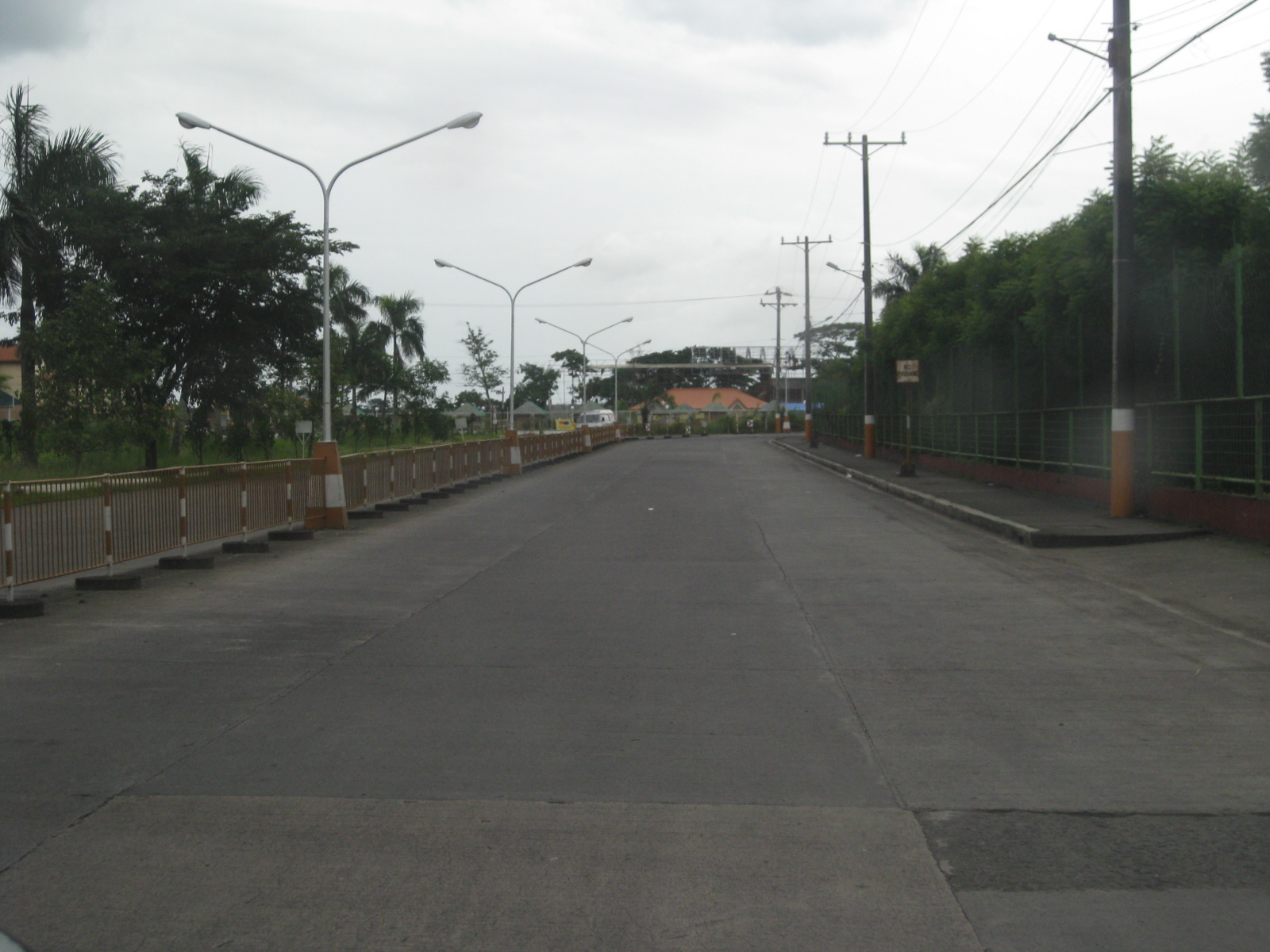
Access roads to the public transport terminal are wide and there is low traffic even during peak periods. Mostly, traffic is comprised of buses, jeepneys and vans that also call on the terminal.
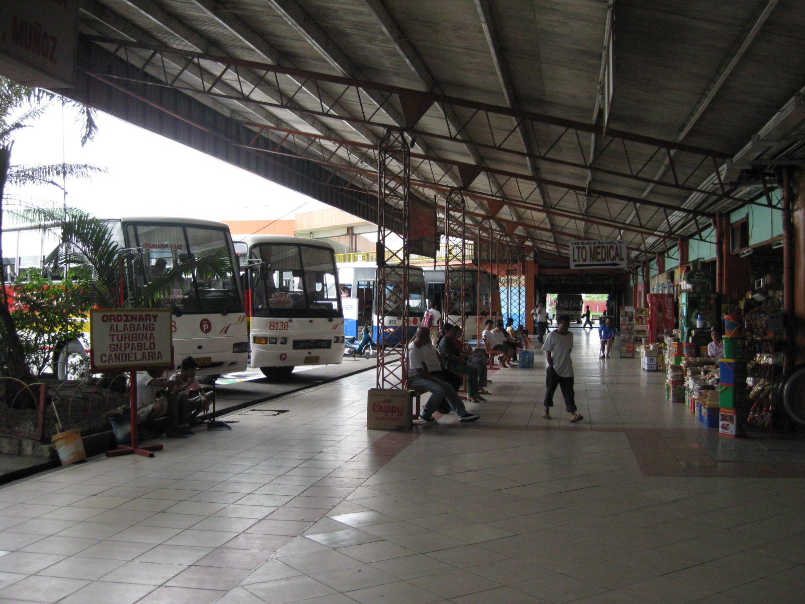
The terminal serves as a major stop for buses bound for Manila, towns in Quezon, the Bicol Region, and even those going to Mindanao via the eastern nautical highway. There is generous space for passengers and bus crews, including amenities such as toilets, stores, clinics, and eateries including some popular fast food restaurants.
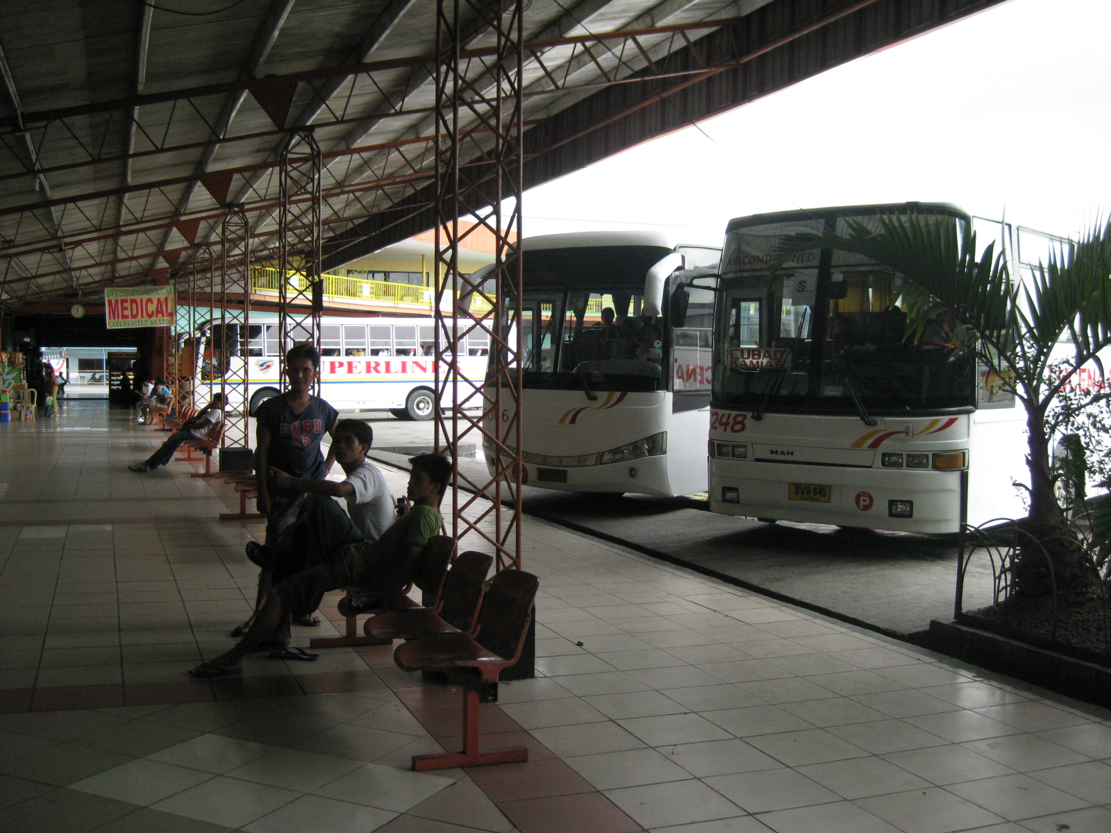
Passengers and bus crews may wait at the benches or designated areas maintained by bus companies. The ample space can be perfect for some stretching after long rides.

Another view of the terminal with passengers loitering around.

The terminal serves jeepneys and vans that provide both local and long distance transport services. The photo above shows berths for jeepneys bound for Lucena city proper (left), and Pagbilao town (center). Travelers may also take vans bound for destinations in Laguna and Bicol.
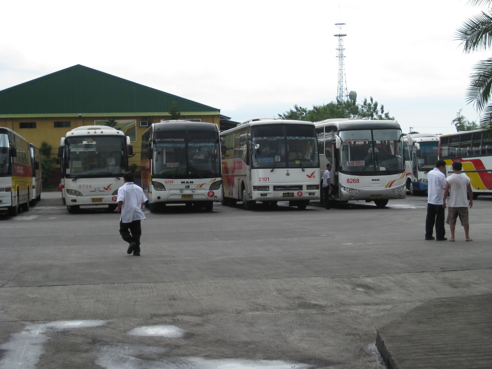
The large terminal area also has more than enough space to serve as a general depot for many bus companies from where they can deploy their buses or where they can conduct maintenance checks or repairs.

Some internal roads are not maintained well and there are potholes on asphalt sections. Most internal roads are generally of good condition though there is a dearth in pavement markings and road signs.
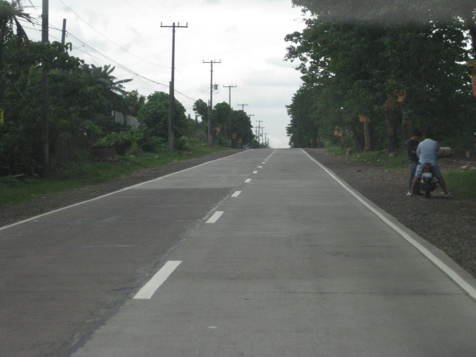
Leaving Lucena, one is again greeted by generally good highways. My impression though, is that the quality of the road generally deteriorates as we travel further from the capital city. This, of course, is something that can be attributed to the DPWH district office in-charge of particular highway sections as well as the respective local governments (including the province) and especially congressmen who also have a say in the allocation and actual use of road funds.
 Caught (up) in traffic