
Home » Traffic Congestion (Page 19)
Category Archives: Traffic Congestion
Sales Bridge repairs completed
The repairs to Sales Bridge, which connects the Fort Bonifacio area to Villamor and the NAIA terminal complex, has been completed and all lanes along the bridge are now passable. The bridge has been a bottleneck for some weeks as repair works have led to serious traffic congestion in the area, particularly along Sales Road that’s among the main access roads to NAIA, particularly Terminal 3, which is at the end of the road and along Andrews Avenue. From another perspective, the bridge is also a main access route to Fort Bonifacio (and Bonifacio Global City) and Makati (via Pasong Tamo Extension) via Lawton Avenue, of which the bridge is a part of. I took a couple of photos while en route to T3 clearly showing all lanes open to traffic.
 Under the Skyway, traffic flows smoothly on either side of the bridge. When the bridge was being repaired, only 3 lanes were available to traffic – one westbound and two eastbound.
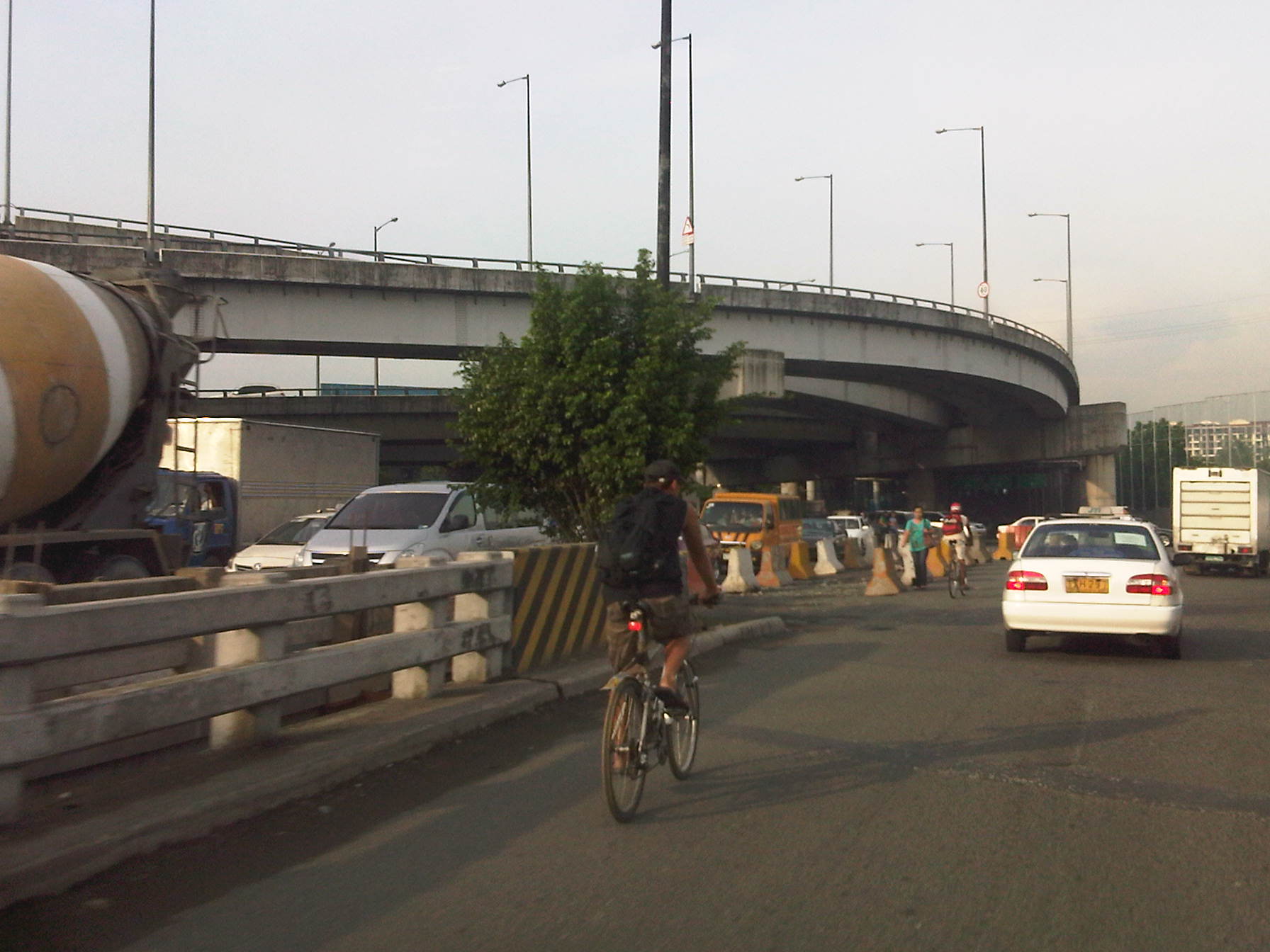 Mixed traffic along the Sales Bridge includes trucks and bicycles. Further downstream is a roundabout at the intersection of Sales Road and the West Service Road along the South Luzon Expressway. Also, shown in the photo is the Skyway ramp connecting the tollway to the Villamor and the NAIA terminal complex.
–
Road congestion around NAIA: Sales Bridge
A particularly urgent problem concerning traffic congestion is the case of the Sales Bridge along the Sales Road at the Nichols/Villamor Air Base area. The bridge and the road is the main access from Fort Bonifacio and the Taguig/Makati areas and is used by most vehicles going to or coming from the airport not using EDSA and Tramo. That’s practically much of the airport-related traffic from Quezon City, Pasig, Marikina and Rizal Province. There’s usually also traffic congestion along Tramo from EDSA but this is predictable and the reason why more people tend to use the route via Sales Bridge. Nowadays its pretty bad in the Villamor area and this has been an inconvenience to a lot of travelers.
It’s been more than a couple of months now since repair/rehabilitation works for the Sales Bridge began and there are only a single lane bound for the west-bound direction and 2 lanes for the east-bound side. From the last time I passed through the area, it seems that the work on the bridge will be taking more time to complete and so more people will have to endure the inconvenience of congestion in the area. There are not so many options for traffic re-routing but I believe traffic enforcers at the intersection of Sales Road and the West Service Road should prioritize traffic bound for or coming from the airport considering the latter being a major gateway not just for Metro Manila but for the country.
 Vehicles queued along the east-bound side of Sales Road. The blue wall on the right is the fence of Villamor Air Base. The overpass on top is the access ramp for the Skyway.
 2At the junction, where there is a roundabout for traffic coming from the airport, Sales Bridge and the West Service Road of the South Super Highway, traffic is all tied up and you can usually hear a lot of honking among motorists whose patience have been tested by the traffic jam.
 While there are traffic enforcers posted at the intersection to manage traffic, they can only do so much given the capacity of the bridge. The volume of traffic from the airport and the service road can usually overwhelm the enforcers but they should try to establish priority for traffic. It seems that the west service road is usually given more priority than the traffic to and from the airport. This should not be the case here considering NAIA is a main gateway to Metro Manila and the country.
–
School traffic generation – Part 3: LSGH and Ortigas
Was at the DOTC for a meeting and couldn’t help but look out the window from the conference room while waiting for the meeting to start. Our meeting was being held at the 16th floor of the building housing the Department and so it gave an excellent vista of the surrounding area. I was particularly interested in a view of Ortigas Avenue know there was no congestion that time of the day mainly because school was still off. The latter observation is important here because La Salle Greenhills, which is just a stone’s throw away from the building, is a major traffic generator with cars and school service vehicles clogging up the stretch of Ortigas Ave. from Galleria to the Greenhills Shopping Center. In fact, one can find vehicles parked or waiting along the road and even on the sidewalks, depraving pedestrians the proper and safe space to walk.
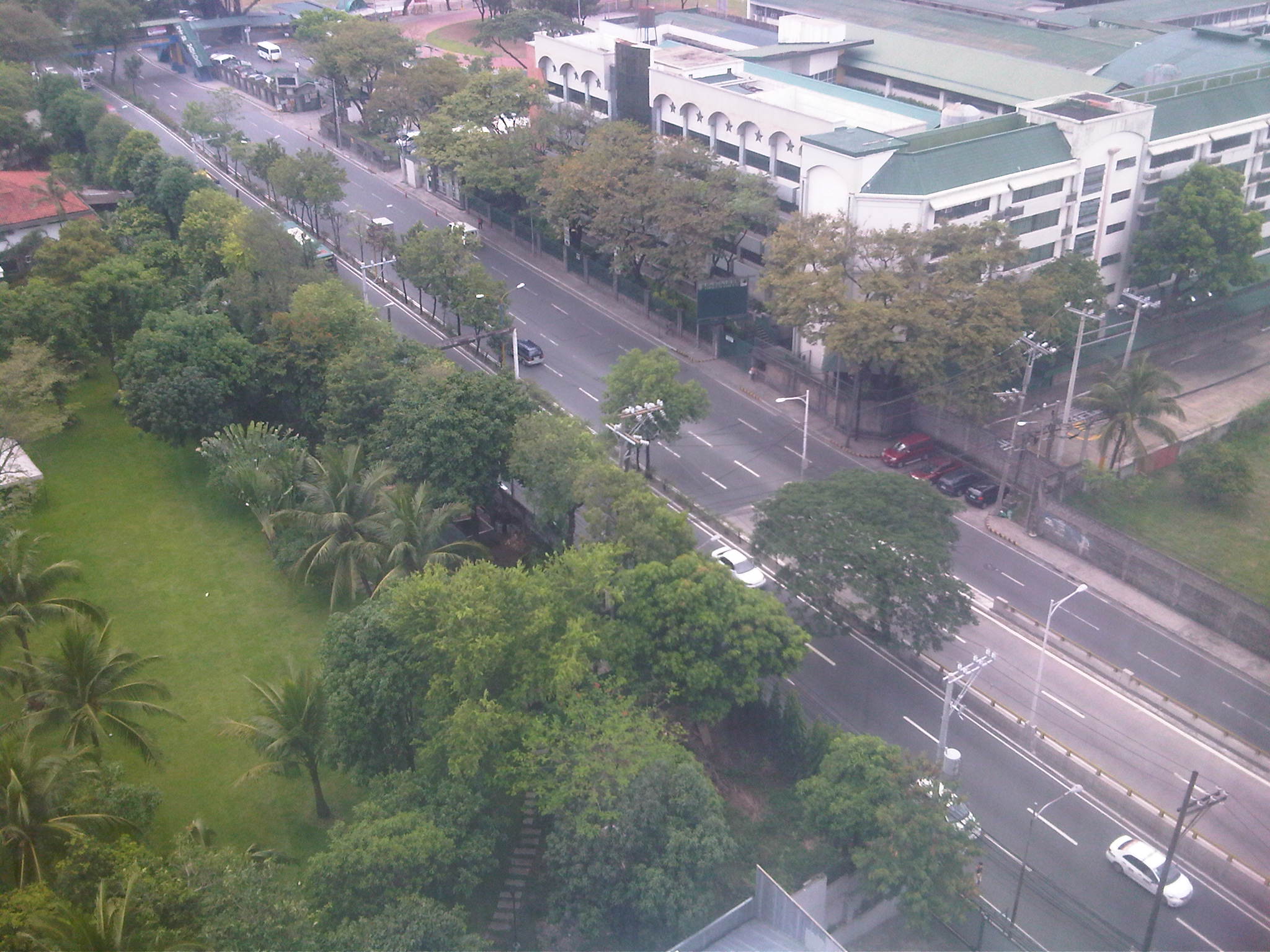 Free-flowing traffic along Ortigas Ave. in front of LSGH on a Friday mid-afternoon.
 Main gate and pedestrian overpass at LSGH – there seems enough space for a multi-level parking lot inside the school but perhaps there are other options other than low capacity transport for the students.
 Impact area – photo showing LSGH in the foreground and the Greenhills area in the background, including Virra Mall on the upper left and the condominiums around the Greenhills Shopping Center and behind Camp Crame.
 Exclusive roads – the photo above seems the same as the previous one. A distinction though is that it shows Holy Cross Street (at right in the photo), which is inside Greenhills East Subdivision, an exclusive residential subdivision. The road and other streets in the subdivision are not open to general traffic and so cannot ease traffic along Ortigas Ave during congested periods.
 Greenery – across LSGH is Wack wack, one of the first golf courses in the country and a welcome patch of green in the middle of the metropolis. Trees also line up along Ortigas Ave. but their capacities to absorb the CO2 produced by motor traffic are not enough considering the volume and frequent congestion along the road.
–
Traffic congestion due to waterworks and roadworks
Driving from the airport this morning, I already saw the buildup along Villamor due to some roadworks being undertaken along the overpass crossing the SLEX. As such, I decided to take an alternate albeit longer route via Tramo and EDSA on my way back to Antipolo. It would have been longer but I had assumed Tramo and EDSA would be free-flowing at 7 AM on a Saturday. I was wrong!
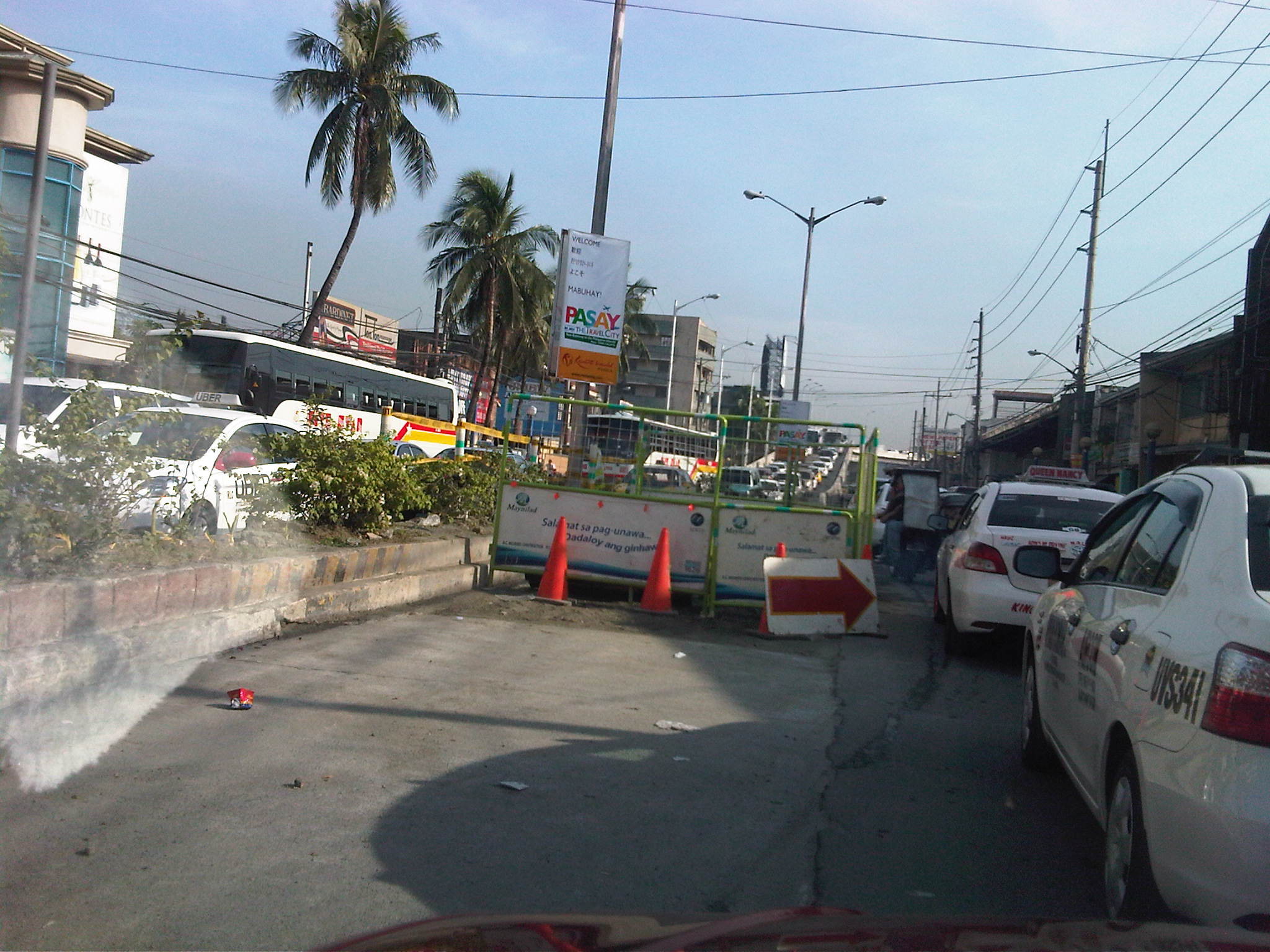 Tramo congestion – Tramo is usually congested due to a variety of reasons including provincial buses maneuvering to and from terminals and depots located along the EDSA-bound side of the road and the proliferation of tricycles and pedicabs operating along the road despite the clear ban against them on national roads. The latter serve the informal settlers who live along Tramo (and Pasay), even occupying parts of the waterways in the area. This morning, waterworks by concessionaire Maynilad added insult to the injury that is congestion along the road. Airport-bound traffic wasn’t so lucky, too, as they had to contend with what seems to be a flawed setting of the traffic signal at the intersection downstream.
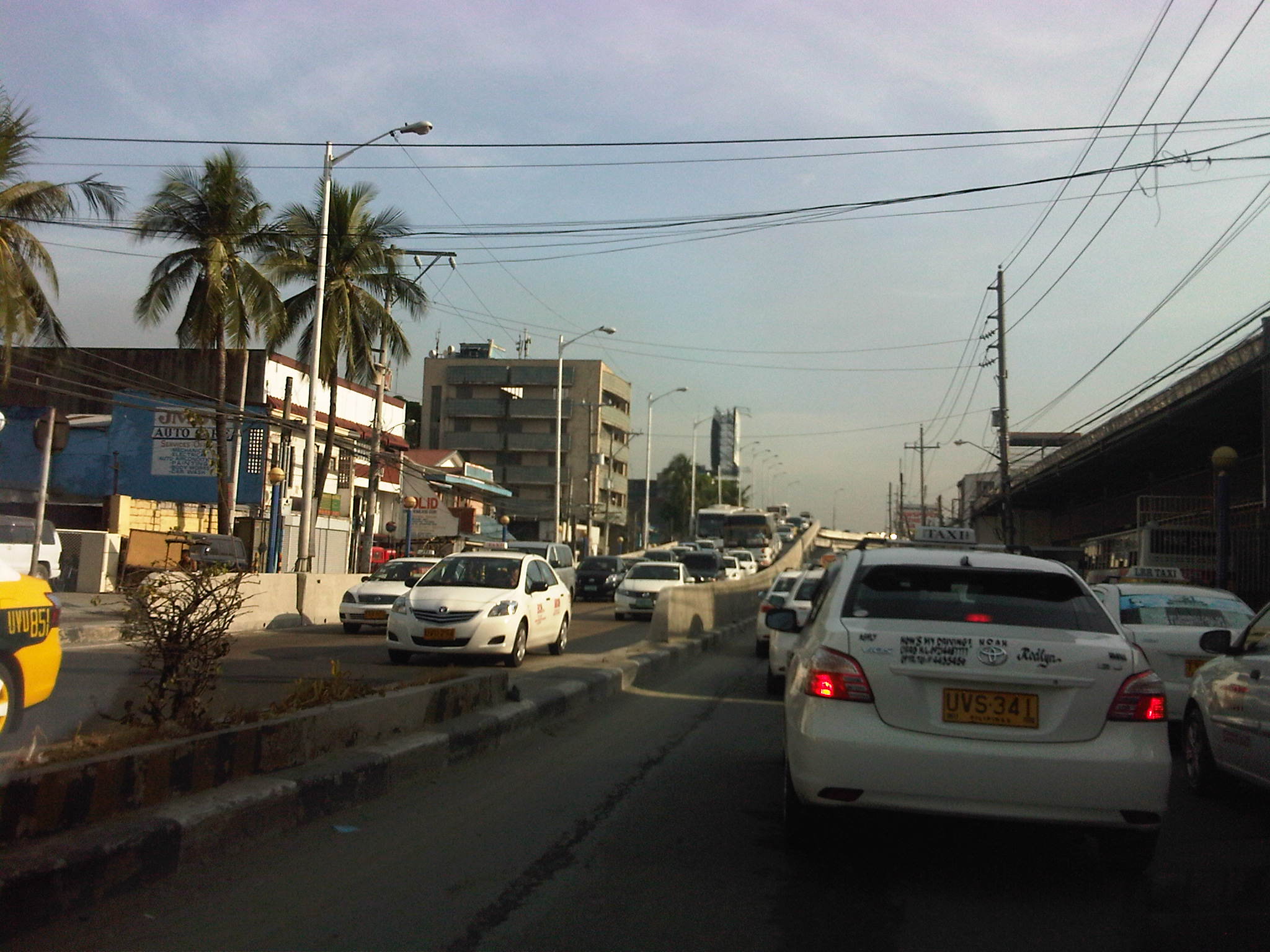 More traffic – after passing the Maynilad work site, there was still much congestion and it turned out this was due to very slow turning (i.e., all vehicles must turn right upon reaching EDSA) as MMDA traffic enforcers were not doing their jobs to ensure the intersection was clear of buses, jeepneys, taxis, and tricycles and pedicabs loading and unloading after the intersection, along which provincial bus terminals were all lined up. That’s right. There are tricycles and pedicabs along EDSA. I would have taken photos of the situation but unfortunately, these have to be against the sun and my trusty cell phone could not manage to get good photos. Such congestion is supposed to be manageable if enforcers would just be strict/firm in doing their jobs.
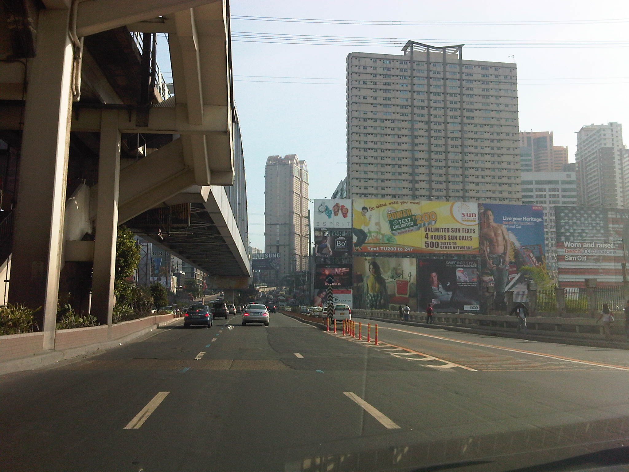 EDSA traffic – after recovering from the congestion along Tramo and the stretch of EDSA from Tramo to Magallanes, I stumbled upon another buildup as I passed Guadalupe and crossed the bridge at the Pasig River.
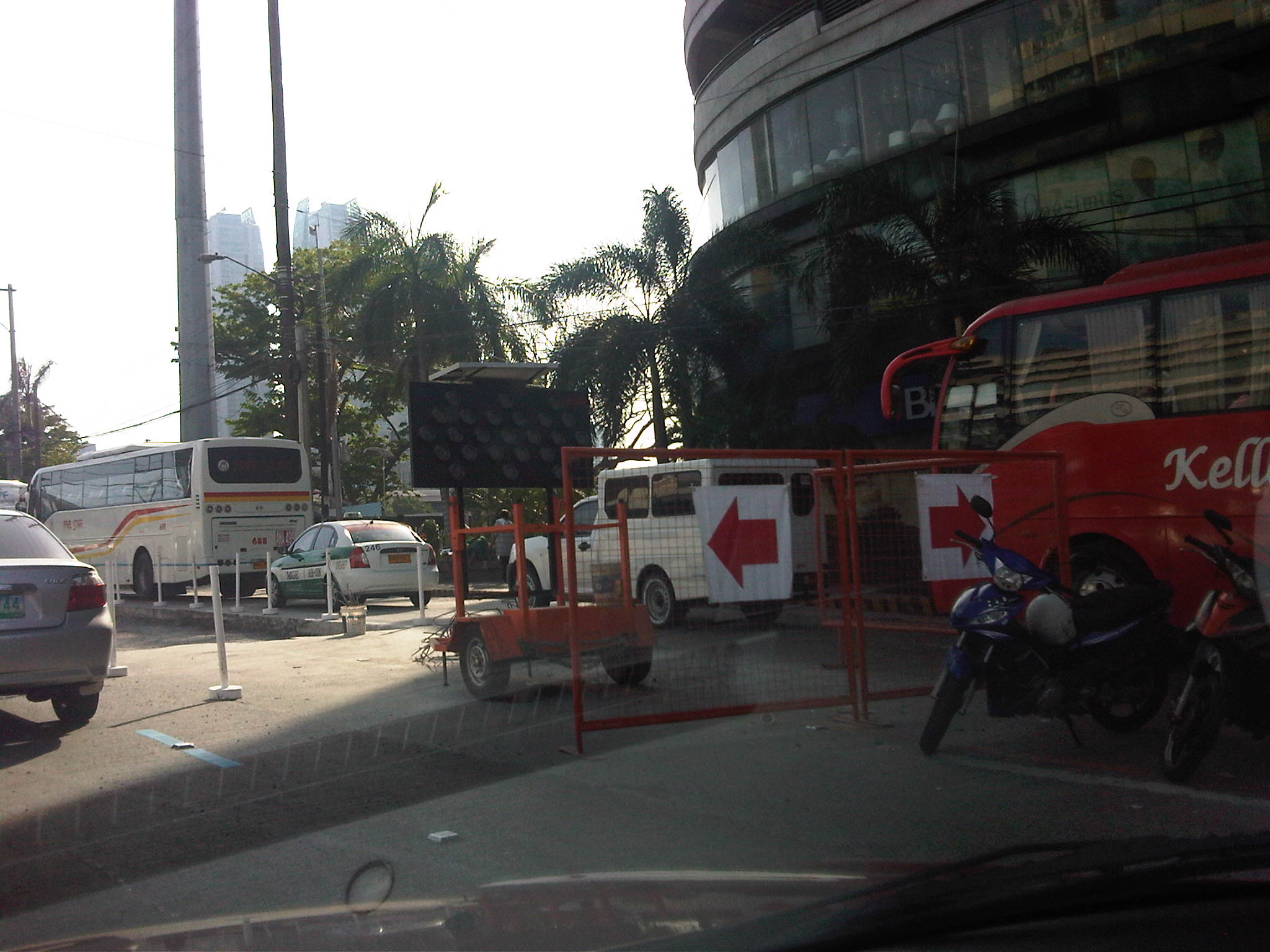 Re-blocking – it turned out that the congestion was due to roadworks along a lane of EDSA, which practically occupied 2 lanes due to the equipment and temporary barriers set up in the area near Reliance and the Boni MRT-3 Station.
 Hectic schedules – I forgot that the re-blocking works along EDSA and other major roads in Metro Manila are undertaken during the weekends when traffic was supposed to be relatively light compared to the weekdays. As such, the MMDA only allows DPWH and its contractors to conduct works during the weekends, targeting completion by Sunday night in order for the lanes to be usable by Monday.
 Imelda Avenue again – as if the congestion along Tramo and EDSA were not enough for a Saturday morning, I encountered still another bottleneck along Imelda Avenue in Cainta. This was quite surprising to me as water works in the area were supposed to have been completed more than a month ago.
 Surprise! surprise! – what I thought was a completed project turned out to be something that was stalled for some reason. I think this may also be related to a similar policy being applied to the contractors, restricting their work to weekends.
There must be a better way to manage traffic along work sites like the one above? Perhaps work should not be limited to the weekends but be allowed during the late nights to early mornings (11PM to 5AM). This would allow for more time to be available for contractors to complete projects especially during these months of April and May when school is out and weather (read: rains) is not necessarily a factor working against such road and water works. While it is really difficult to work under the scorching sun, it is still no excuse for enforcers to do their jobs right in managing traffic to ensure smooth flow. It is a wonder how we cannot impose discipline on erring drivers at the cost of valuable time and fuel to other travelers.
–
Marcos (Highway) pa rin!
The traffic conditions along Marcos Highway along sections within Antipolo, Cainta, Marikina and Pasig have worsened the past two weeks due to the ongoing roadworks that have resulted in traffic jams very early in the morning (e.g., congestion at 5:30 AM) and until late at night. This, as the contractor appears to be rushing to meet the March 2012 deadline indicated in the DPWH project postings along the highway. So much for so-called traffic management along construction sites! I believe that MMDA and local government enforcers are not at all helpless in trying to alleviate congestion. I think they are not doing their jobs and they are not trying hard enough given the requirements to enable smoother flow along affected sections. Meanwhile, the contractor should also be held accountable for the congestion as valuable time is lost for many using the highway. Gumawa pa ng traffic management plan at nag-post pa sa DPWH website eh di naman pala masusunod!
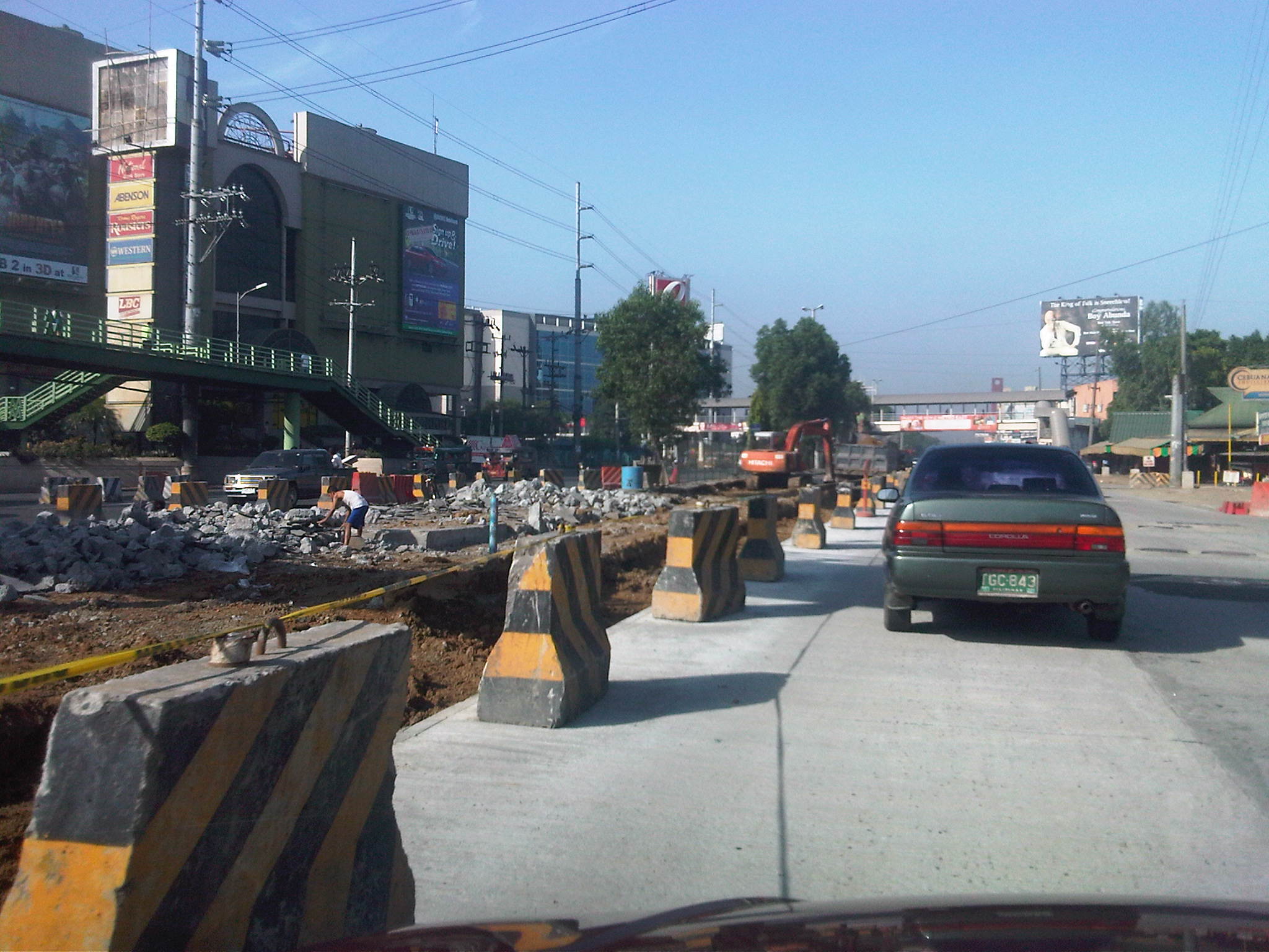

While the quality of work for the pavement is not suspect (considering the contractor has done a splendid job replacing the entire pavements along the highway to ensure that the base and sub-base layers are also replaced), much is to be desired regarding the way certain sections are being selected for rehabilitation. I’m sure that most if not all motorists are inconvenienced by the challenging obstacle course comprised of excavations, fills and concrete barriers. Of course, we can just be hopeful that the project will finally be completed this summer and we will ultimately benefit in the improvements along Marcos Highway.
–
School traffic generation – Part 2
It’s been quite sometime since I wrote Part 1 on school traffic generation. I had been unable to get a few photos to describe congestion in another area where school trip generation frequently causes severe traffic congestion. This is along Ortigas Avenue in the Greenhills where another private school generates so many vehicle trips that it is able to clog both sides of the road almost every weekday of the school year. This is the case of La Salle Greenhills (LSGH), which, like Ateneo along Katipunan causes so much negative externalities with respect to traffic along a major thoroughfare.
The problem with La Salle Greenhills is more severe considering it has very limited space in its campus to be able to accommodate parking, unlike Ateneo, which has a sprawling campus (sadly, its being occupied by more cars these days). The result has been cars occupying the curbside lanes along either side of Ortigas Avenue and cars parked on the sidewalks (I have to get photos of these.). This has caused a lot of congestion during the weekdays and has so far been unaddressed by local authorities who seem to be helpless despite the fact that they only need to enforce general traffic rules to rid the streets of parked and standing vehicles. The solution is quite simple but very difficult to implement considering authorities will be up against LSGH. But then, the majority here are not LSGH constituents but the general public who are inconvenienced on a regular basis.
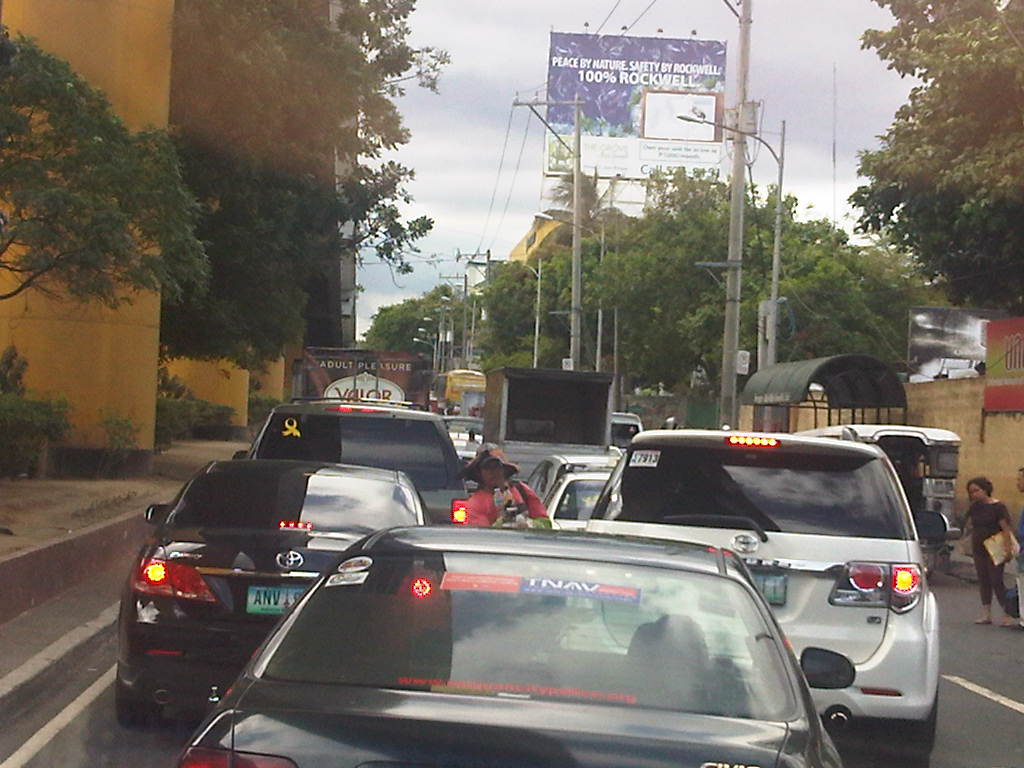 It took us some time to cover less than 400 meters from the EDSA-Ortigas intersection to the median opening to turn left into the DOTC driveway on the other side of Ortigas Ave.
 At this point, the three lanes from the intersection narrows to 2 lanes, necessitating some jostling for position among the vehicles.
 There are 3 median openings (one after the other) under the San Juan-bound overpass from EDSA-Ortigas. One slot is a U-turn slot for vehicles returning to EDSA-Ortigas, while the second is for vehicles turning back to LSGH or the Greenhills shopping district. Another opening is right after the second slot and is for vehicle turning left towards the DOTC main office.
Yes, that’s right – the DOTC main office is located in the area and LTO officers are regularly in the area due to meetings of their officials. It’s a wonder how these seem to be blind to the congestion on the ground. Perhaps the current Secretary should look into this as a test of his commitment to solving transport problems?
–
Weekday EDSA
I chanced upon an uncongested EDSA one day during noontime along the northbound direction. I was traveling from the airport and saw that my usual route along C5 was very congested. I decided to take EDSA instead considering it was noontime and there would probably be less vehicles along the highway during that time of day. I was right and the following photos speak for themselves in as far as describing traffic between 12:00 NN and 1:00 PM.
 Section past Orense Street and the MMDA headquarters
 Section approaching Guadalupe
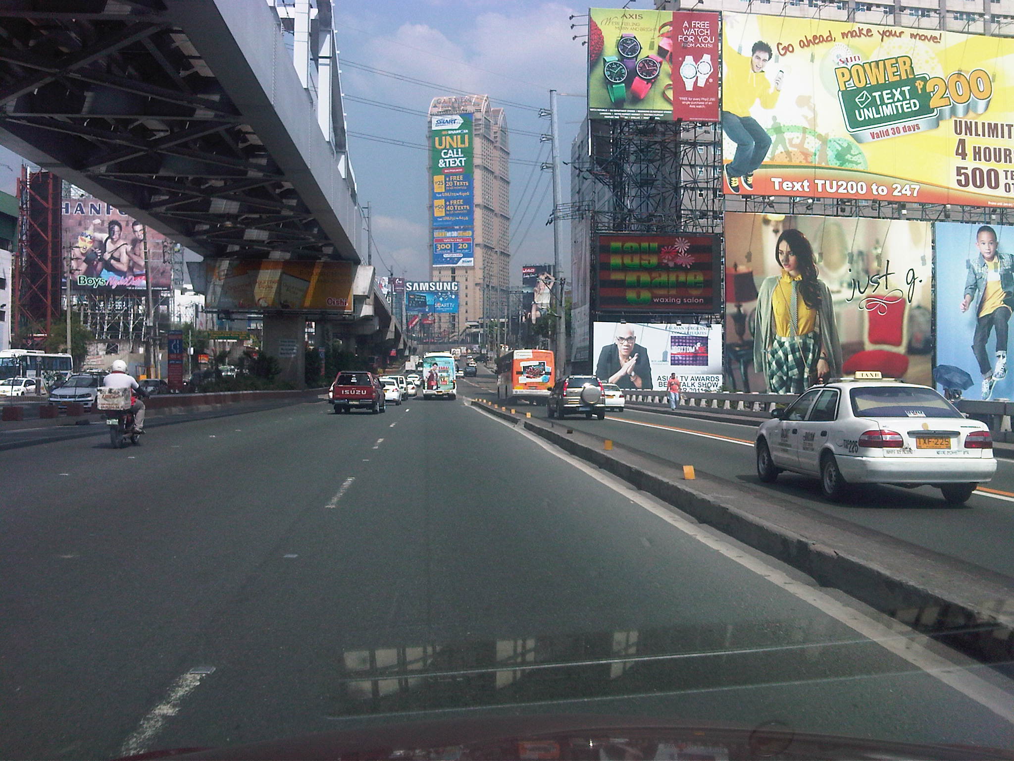 Guadalupe Bridge, crossing the Pasig River, the MRT 3 runs along the steel bridge above
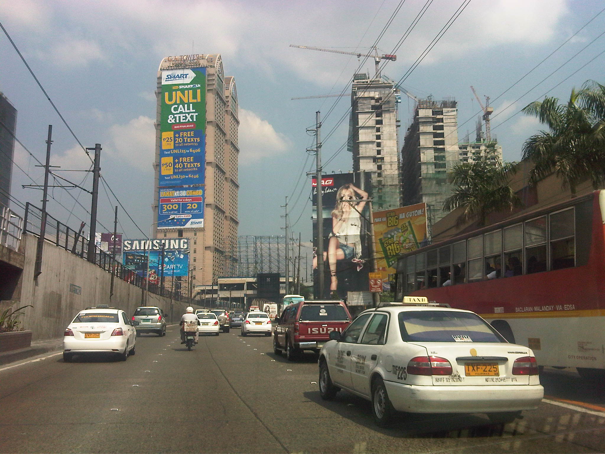 Approaching A. Bonifacio/Renaissance, in the background is the G.A. Tower, the Boni MRT Station and condos under construction including SMDC’s Jazz
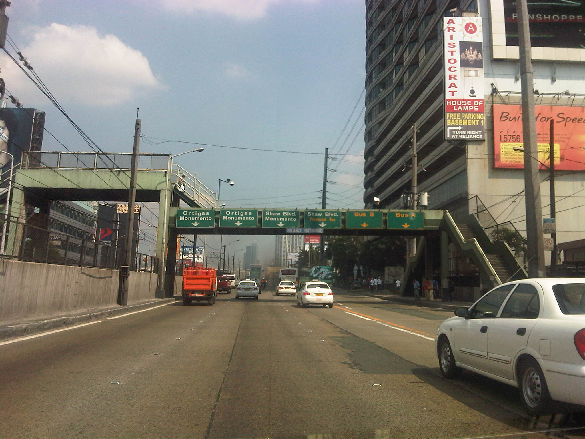 Section across the Renaissance Tower where many FM radio stations are based
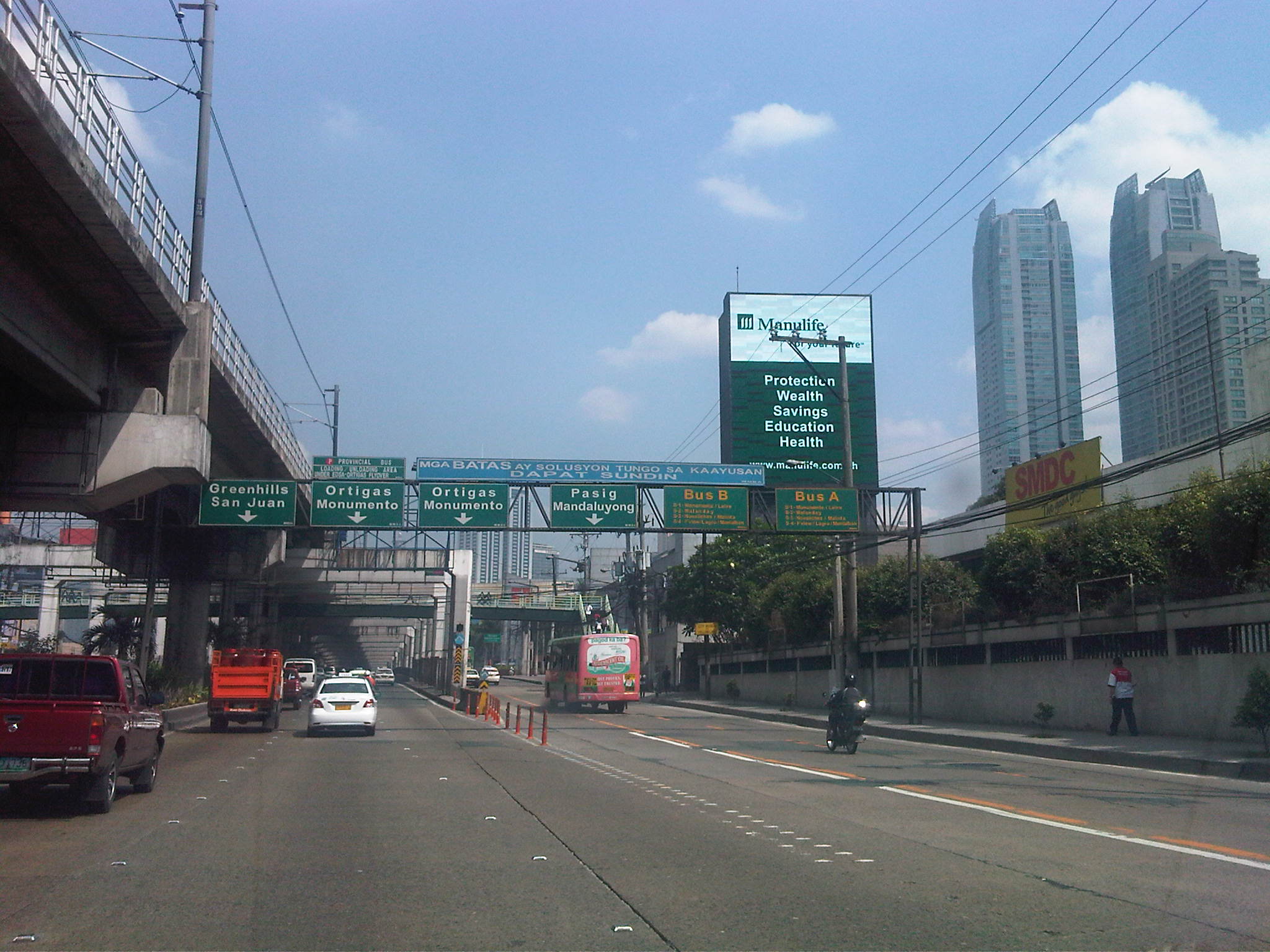 Section past Robinsons Cybergate Mall
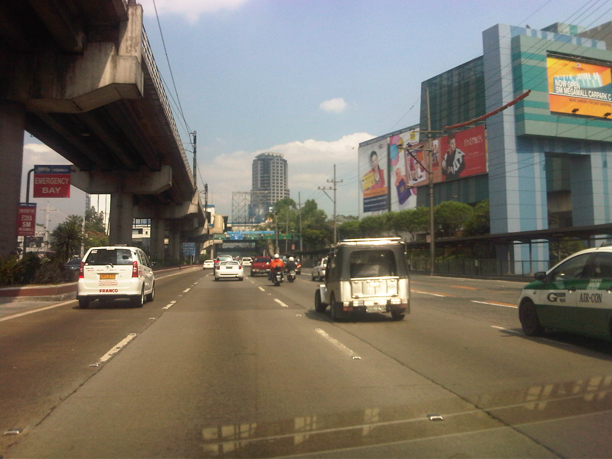 Section across the SM Megamall and approaching the ADB
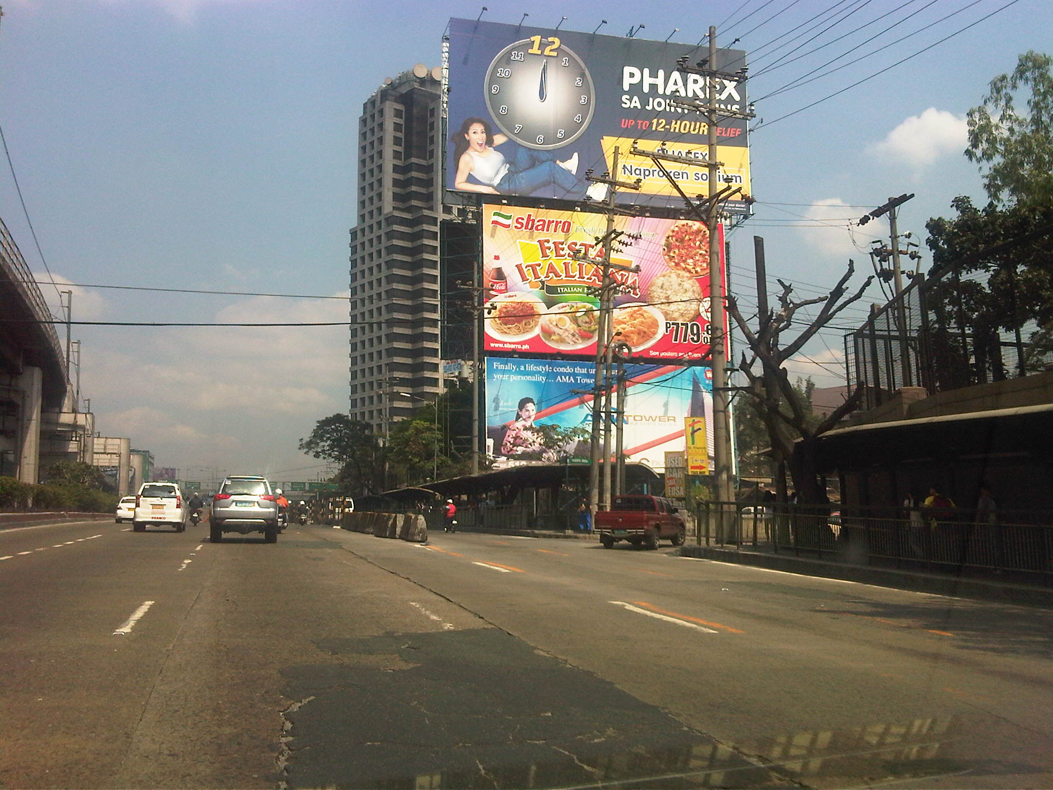 Section across the ADB and approaching Ortigas Ave. One of Galleria’s buildings is seen behind the giant billboards. The MRT
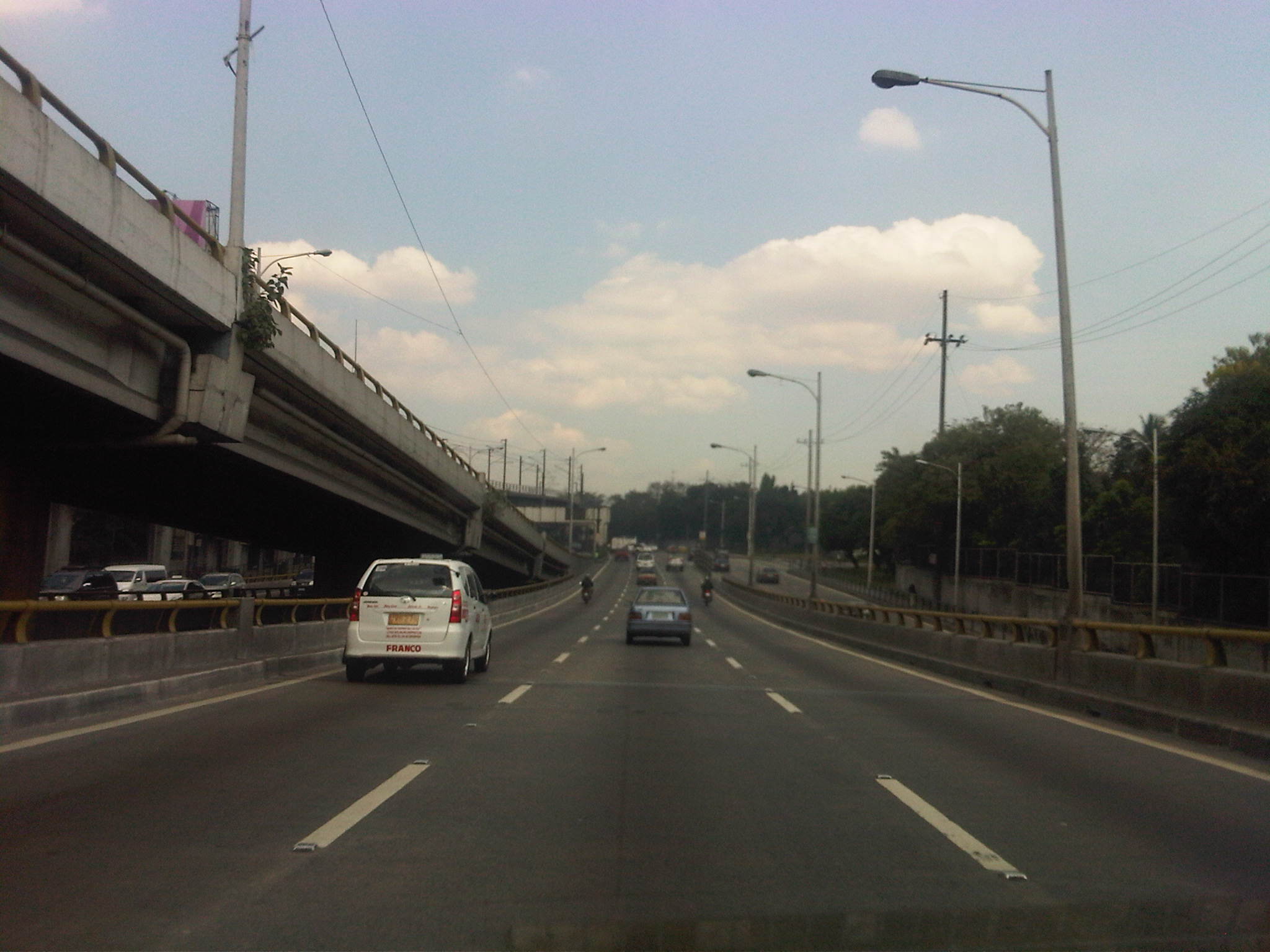 Section descending the Ortigas Flyover and across from Corinthian Gardens
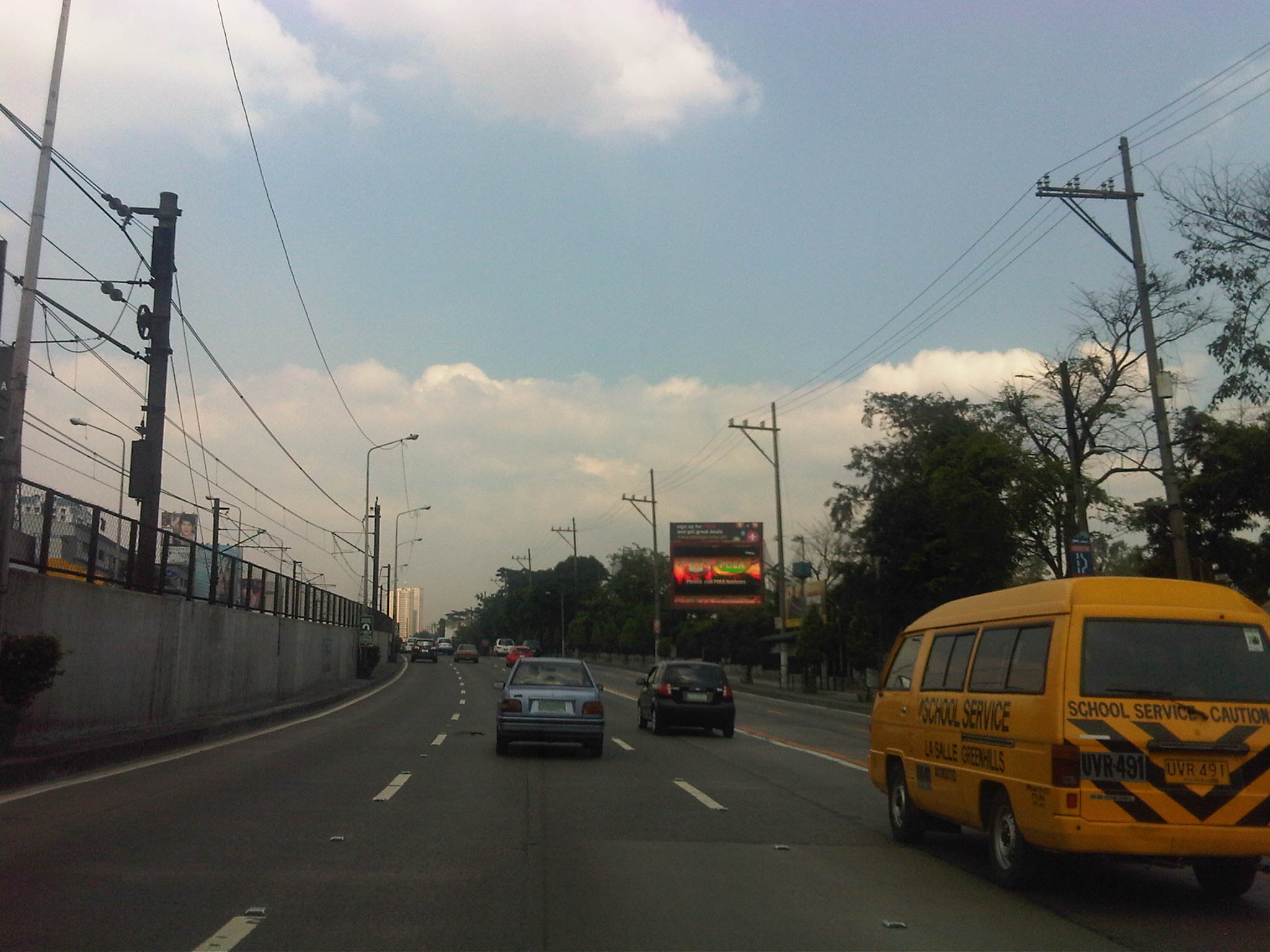 Section across Camp Aguinaldo (between the Aguinaldo and Crame) and approaching the Camp’s EDSA gate
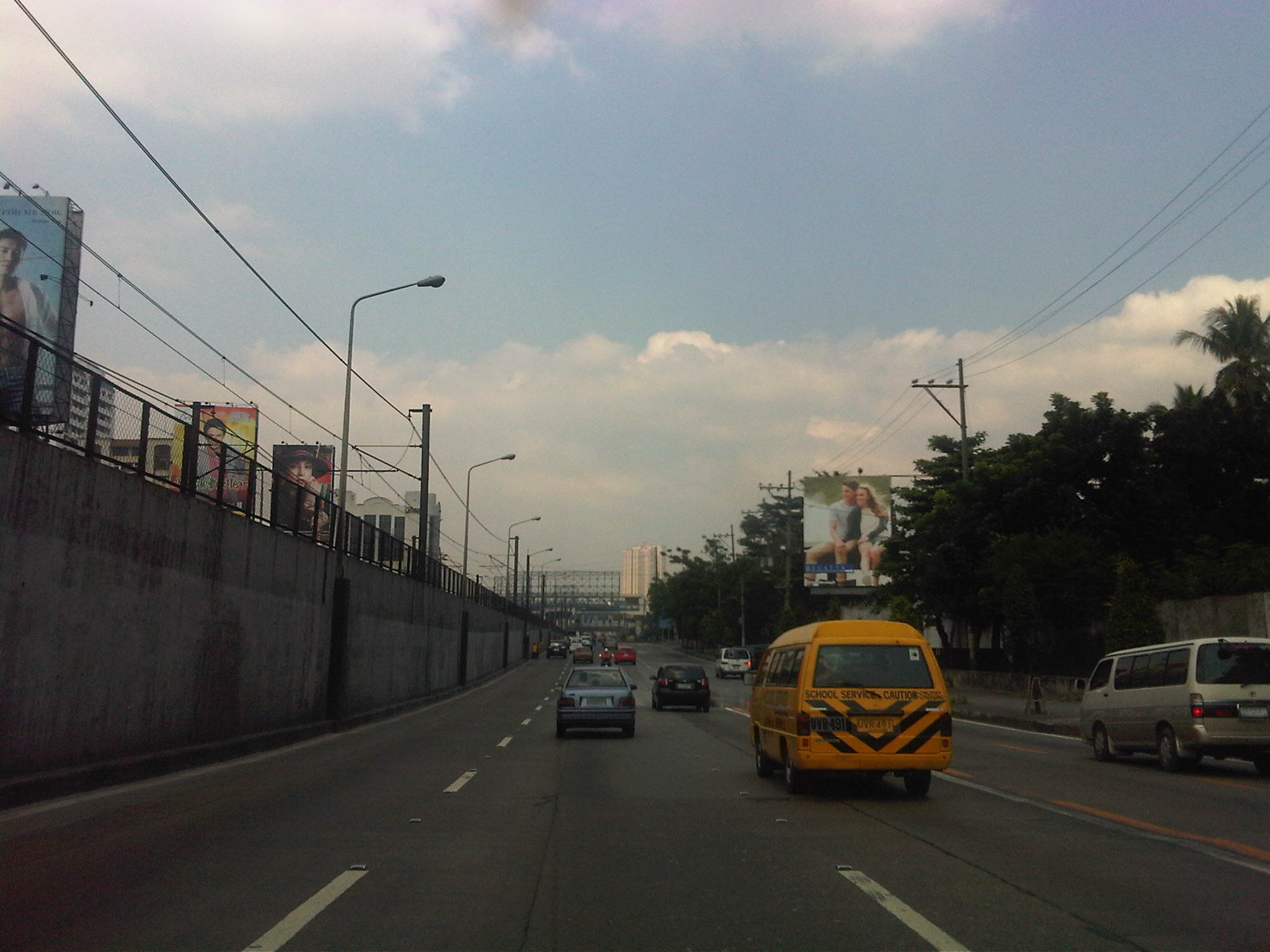 Section approaching Boni Serrano Avenue
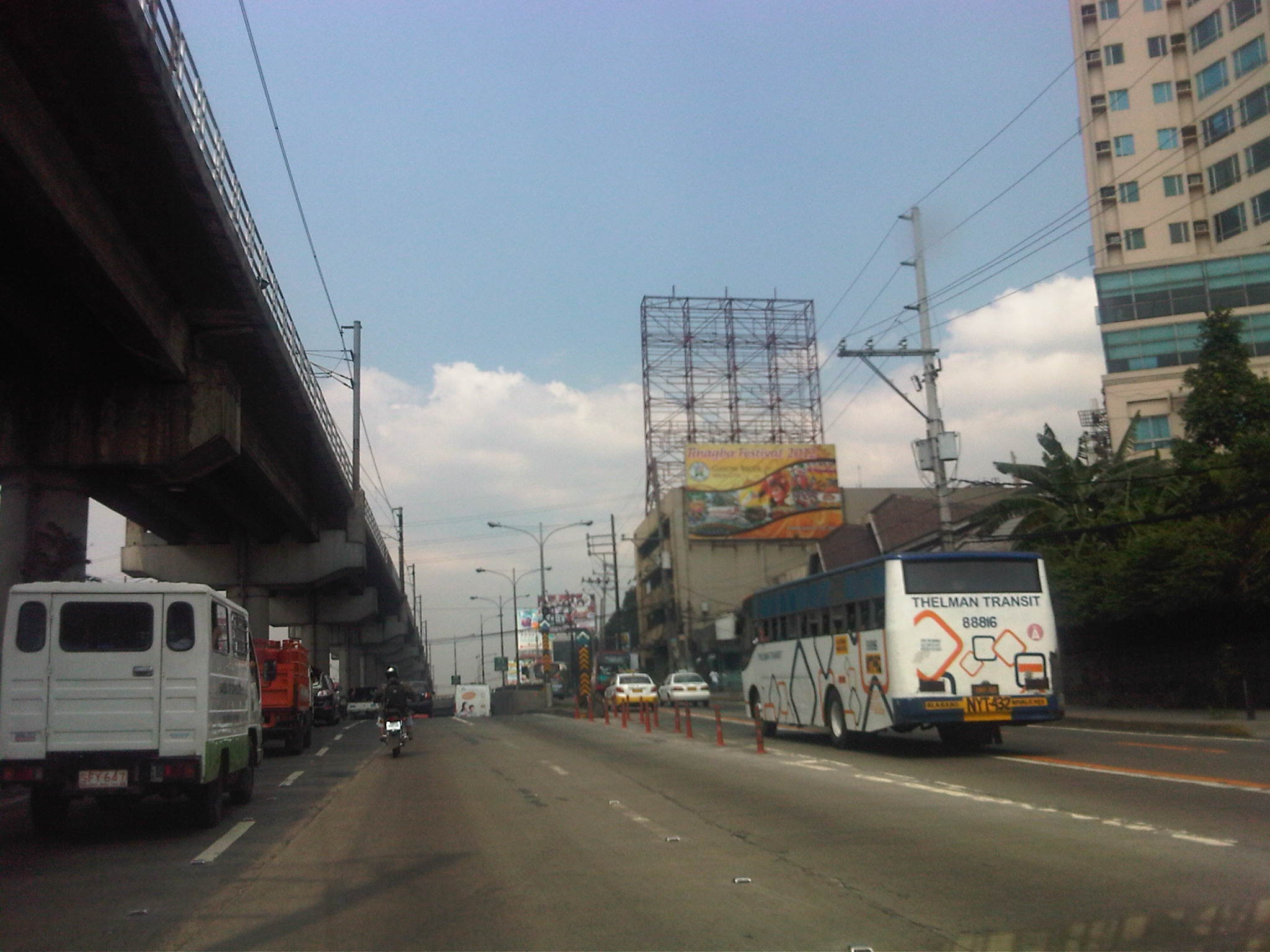 Section approaching the EDSA underpass crossing P. Tuazon and approaching the Cubao commercial center
 Section past the Cubao commercial center and across from several provincial bus terminals lined up along EDSA northbound
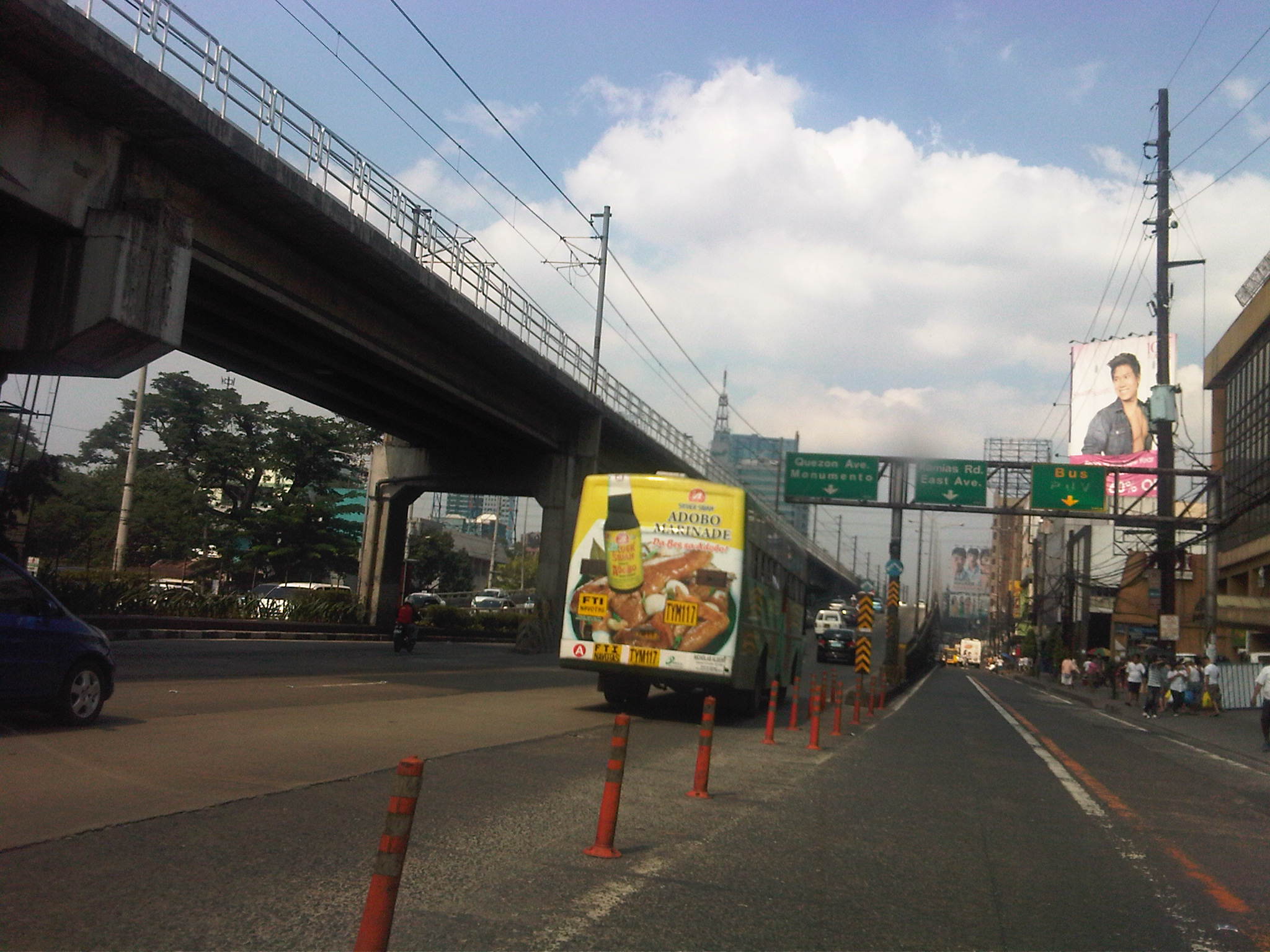 Section approaching Kamias – taking the flyover means I won’t be able to turn towards East Avenue so we shifted towards the outer lanes
Now, if only EDSA and the other main arteries of Metro Manila could be like this more frequently…
–
The Marcos Highway predicament
Just when I thought I’ve experienced the worst traffic jams along Ortigas Avenue Extension (De Castro to Junction) last year, I am greeted with even worse congestion along Marcos Highway as 2012 began. I have featured this highway in previous posts first on August 24, 2011, then in September 2, 2011, again in September 13, 2011, and then as late as December 18, 2011, as I have been able to basically monitor the progress of pavement “re-blocking” and drainage works along this highway (I live in a subdivision along the highway.). The project stretches from the Santolan area near the Marikina River to Masinag Junction, and affecting traffic in at least 4 cities (Quezon City, Marikina City, Pasig City and Antipolo City) and 1 major municipality (Cainta). The problem, it seems to me, is that the contractor seems to be behind schedule and is now trying to make up for lost time by practically digging up entire sections of the highway without first finishing the job in other sections they have already started rehabilitating. In fact, there are sections that already have new concrete pavements that are still inaccessible to traffic despite already over 2 weeks of curing time! The concrete barriers preventing vehicles from using these sections occupy about a fourth of the adjacent lanes, contributing to the reduction of what is already limited road capacities for the high volume of traffic along Marcos Highway.
I am aware of the traffic management plan for the highway as it is posted online at the DPWH website. But this is something that is on paper (or online) and one that seems to have been thrown out the window given the discrepancies with what’s on the plan and what we actually see and experience on the ground. The current work along the highway has effectively turned the stretch from Filinvest East to Santolan into a sort of slalom or obstacle course that has led to much inconvenience to commuters and motorists. Factor in the wasted fuel and the resulting emissions due to the congestion and you have economic losses piling up everyday.
I took the following photos I took one late weekday afternoon only this week as I traveled from Masinag to Imelda Avenue. The photos clearly show the work in progress along the highway that has been that main cause of congestion throughout most of the day.
 Beginning of section being rehabilitated with work concentrated on a middle lane in front of the Marian Memorial (funeral) Chapels along Marcos Highway. Note the barriers on either side of the lane and the heavy equipment. Notice, too, the few people working on this section. Vehicles will have to split into two streams, one on either side of the affected lane.
 End of the lane mentioned in the previous photos. There is a gap between this affected lane and the next one (start is indicated by the red barrier downstream in the photo) allowing vehicles to weave along sections between work sites. The pick-up in the middle of the photo is doing just that – shifting from the shoulder lane to the median lane.
 This is again the end of the section Unfinished section is flooded due to the sudden rainfall that afternoon in the area. Many sections have already been filled with base layer material and compacted. However, I am wondering why the contractor has not poured concrete when I reckon it has already taken enough time for consolidation of the base layer. From the same photo above, you can see the beginning of another section under rehab, but this time two lanes (inner lanes) are closed to traffic on one side of the highway. There are 2 other lanes also closed to traffic on the other side of the median island.
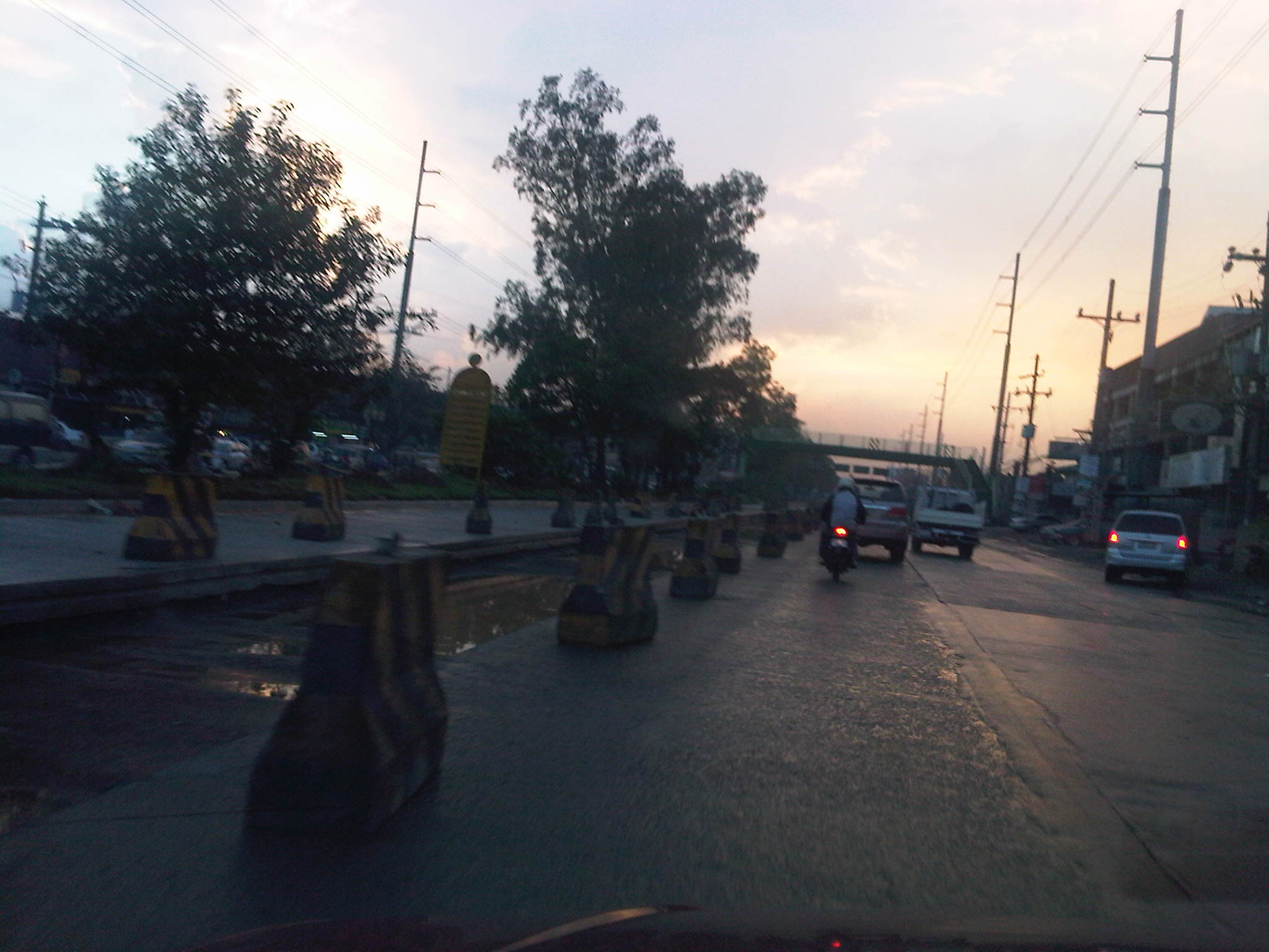 Despite the completion of re-blocking for the median lane, it is still closed to traffic. Meanwhile, it has taken a significant amount of time since they dug up the middle lane shown in the photo and where the section should have been ready for concrete but with the water collecting after the sudden rains that afternoon. Notice the hazards posed by the concrete barriers along the highway.
 Section along the westbound direction of the highway and across from Town & Country subdivision shows 2 lanes affected by the pavement rehab works and only 2 lanes available to traffic.
It is really quite difficult to offer solutions in this case considering so much work still to be done in order to meet the March 28, 2012 deadline posted on the project billboards along the highway. For one, I do not know exactly what the reasons are for the delay of the project (perhaps a delayed release of funds?) and why the contractor has been unable to deliver according to schedule and plan considering the amount of time that was available to them. I do notice that there seems to be not enough people working on the project and that there seems to be no one working during certain times of the day when traffic is supposed to be lighter and fewer people to inconvenience. I did write that the contractor was doing a decent job in managing traffic before including their good use of counterflows. That was months ago and it seems that the saying “you are only as good as your last performance” applies in this case where people will be scrutinizing the current state of traffic along Marcos Highway.
People do expect though that the combined efforts of the MMDA, local traffic enforcers from Pasig, Marikina and Antipolo, and personnel from the contractor to make a bigger effort to ease (manage?) traffic congestion during the critical periods. It’s very frustrating and disappointing, however, that instead of managing traffic or facilitating flow, most enforcers seem to be engrossed with enforcing the number coding scheme alone. This seems to be the case for Pasig and MMDA enforcers posted at Ligaya and the Metro East vicinity. Perhaps number coding should be the least of their concerns when traffic is already constricted because of their failure to manage the jeepneys clogging the Ligaya area as well as what seems to be a breakdown in the coordination among these enforcers and the contractor of the rehab works along Marcos Highway.
–
Afternoon jam along Katipunan
The northbound direction of Katipunan Avenue is usually congested from mid-day to early afternoons on weekdays. The congestion is caused by several factors including truck traffic and school generated traffic. Katipunan is part of a truck route along which trucks are allowed during the perceived off-peak periods (i.e., not during the morning and afternoon peaks). There are many schools in the area including two major universities (UP and Ateneo), a college (Miriam), and several other schools that generate a lot of vehicular traffic around this time mostly from their grade schools or pre-schools. There are also a lot of activity along the stretch from Ateneo to C.P. Garcia due to the commercial establishments especially the restaurants that attract quite a lot of patrons during the extended lunch period (typically from 11:00 AM to 2:00 PM).
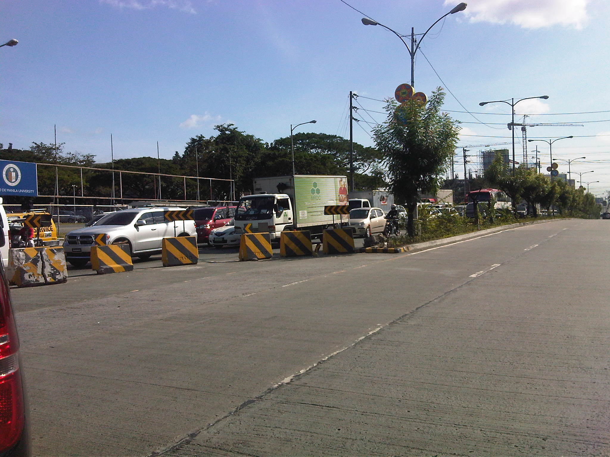 Congestion stretches onwards and may reach past the other end of the overpass towards the Blue Ridge area. The 5-lane section (3 from the flyover and 2 from the at-grade section) narrows to 3 lanes at this section to accommodate the U-turn slot past Ateneo’s gate 2 – an classic case of a bottleneck.
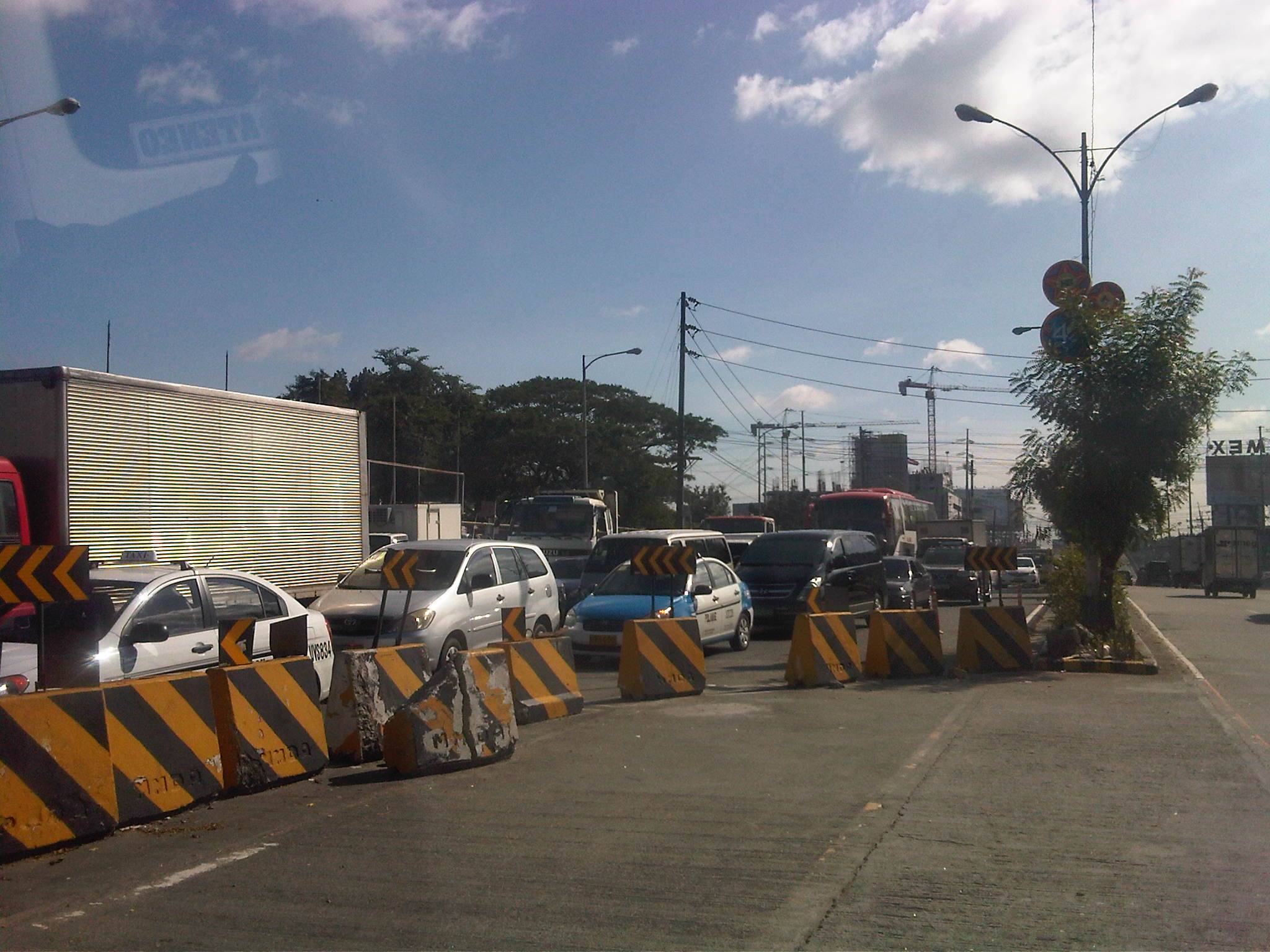 The SM Blue condominium construction is visible in the background of this photo. Although the U-turn slot only has about 1.5 lanes worth of space, the concrete barriers cover the remaining space of a lane, thereby reducing effective capacity for the road section.
 A tarpaulin sign stating Ateneo’s position questioning Notice the concrete barrier used to delineate the U-turn slot that obviously has seen better days. This location is probably among the most dangerous sections along Katipunan (and C5 in general). This has been site of many fatal road crashes. During early mornings, motorists speeding along Katipunan (uncongested during the unholy hours) and descending the flyover often miscalculate or are suprised by the U-turn slot and its unforgiving barriers. The damage on the barrier in the photo is a “souvenir” of sorts from it being a witness to a crash.
–
Quezon Ave. – Araneta Ave. underpass
The underpass along Quezon Avenue (Radial Road 7 or R-7) for its intersection with Araneta Avenue (Circumferential Road 3 or C-3) is currently being constructed. The project was approved last year and it designed to relieve congestion at this busy junction of two major thoroughfares. Among the alternatives considered for the intersection was a 4-lane overpass to be constructed along Quezon Avenue similar in design to the overpasses in Iloilo and Cebu cities. One concern, however, that needed to be explained thoroughly by the DPWH to stakeholders, especially the Quezon City government, was the prospect of flooding. The area, particularly the part of Talayan Village, is prone to flooding with water reaching waste-level that can be brought about by heavy rains. It may even be worse for rainfall of the Ondoy or Sendong kind.
The project seems to be proceeding at a good pace with a lot of activities in the past months. Congestion does not seem to be as serious as what had been anticipated, thanks in part to an aggressive campaign that included information on alternative routes for motorists. Still, it is recommended for the motorist to avoid the area and use other routes if possible as traffic can test one’s patience in this area.
Some of the photos were quite dark as it was already past 5pm when I took them with a cell phone camera. I tried to adjust the brightness in order to have clearer images.
 Approaching the construction site along Quezon Avenue, motorists can already experience the constriction
 The concrete barriers are adequate for keeping vehicles off the excavated sections of Quezon Avenue. These seem to be permanent barriers for when the underpass is already operational.
 Manila-bound approach to the Quezon Ave.-Araneta Ave. intersection where there are effectively 2 lanes available to traffic. It can be quite congested here during the regular weekdays as the original 5-lane section Quezon Ave. narrowed to 2 lanes due to the ongoing construction of the underpass. There used to be a pedestrian overpass at the intersection. This had to be dismantled to give way to the construction of the underpass. Remnants of the overpass remain in the area.
 After crossing Araneta Ave., Quezon Ave. still effectively has 2 lanes as temporary concrete barriers protect the innermost lane beside the underpass barrier.
 Approaching the site from Manila, there is already congestion along the 5-lane section of Quezon Ave. This section will also eventually narrow down to 2 lanes.
 The Quezon City-bound approach to the intersection along Quezon Ave. also has only 2 lanes left available due to construction materials and equipment.
 As in the opposite side of Quezon Ave. one lane of the at-grade level of the road is not available to traffic due to the construction works.
 At the intersection, the remains of what was a pedestrian overpass can be still be seen. The overpass crossed both Quezon Ave. and Araneta Ave., allowing for pedestrians to walk across the intersection without conflict with motor vehicles below.
 The intersection itself has not been excavated and it will be a “Herculean” task to manage traffic once this phase of the project is implemented. Both R-7 and C-3 are high volume roads and the MMDA and QC enforcers would have their hands full, and definitely more challenging than what they are contending with at present. This intersection will still be at-grade in the future and should feature a traffic signal to manage the remaining traffic movements as through traffic along Quezon Ave. will eventually flow continuously along the underpass.
 About 100 meters past the intersection, traffic is free flowing along Quezon Ave. as 2 lanes become 3 and then 5 – a basic principle in traffic flow theory.
A good thing for the project is the approaching school break after March 2012. Should construction proceed at the current pace (or even faster) they should be able to have the underpass operational by the time school opens in June 2012. The contractor should take advantage of the typically good weather in Metro Manila from January to May so as to finally relieve road users of the inconvenience caused by the project implementation. On another note, the underpass is similar to what was proposed for the case of C5-Kalayaan before the MMDA decided to turn that intersection into a showcase for their U-turn scheme, culminating in the construction of 2 U-turn overpasses in the area. The completion of the Quezon Ave.-Araneta Ave. underpass coupled with an effective traffic signal system setting at-grade may just prove the DPWH right in their pitch for the same intervention at C5-Kalayaan and revive discussions pertaining to a more effective solution to the congestion there.
–

