
Home » Traffic Management (Page 19)
Category Archives: Traffic Management
EDSA traffic: view from the top
Traffic along Epifanio Delos Santos Avenue (EDSA) or Circumferential Road 4 is quite infamous considering it being a if not the main artery of Metro Manila and carrying much vehicular and passenger traffic between cities like Pasay City, Makati City, Mandaluyong City, Pasig City, Quezon City and Caloocan City where it has major junctions with other major thoroughfares like Roxas Boulevard, South Superhighway, Ayala Ave., Gil Puyat (Buendia) Ave., Shaw Blvd., Ortigas Ave., Aurora Blvd., East and Timog Avenues, Quezon Ave., North Ave., Roosevelt Ave., NLEX and A. Bonifacio Ave., Rizal Ave. and MacArthur Highway.
Shown in the following photos are traffic conditions along EDSA during a holiday, and typical afternoon peak and evening on a weekday. The section featured is the stretch from the Ortigas junction to Camp Aguinaldo. Visible in the photos are the high-rise condominiums along Connecticut Street (upper left) and the developments at the Araneta Center including the Araneta Coliseum in the Cubao commercial district. The green area on the upper right is Camp Aguinaldo, headquarters of the Armed Forces of the Philippines (AFP), while the rooftops at the right are of houses located in an high-end exclusive subdivision (Corinthian Gardens). In the middle of EDSA is the MRT-3’s elevated tracks.
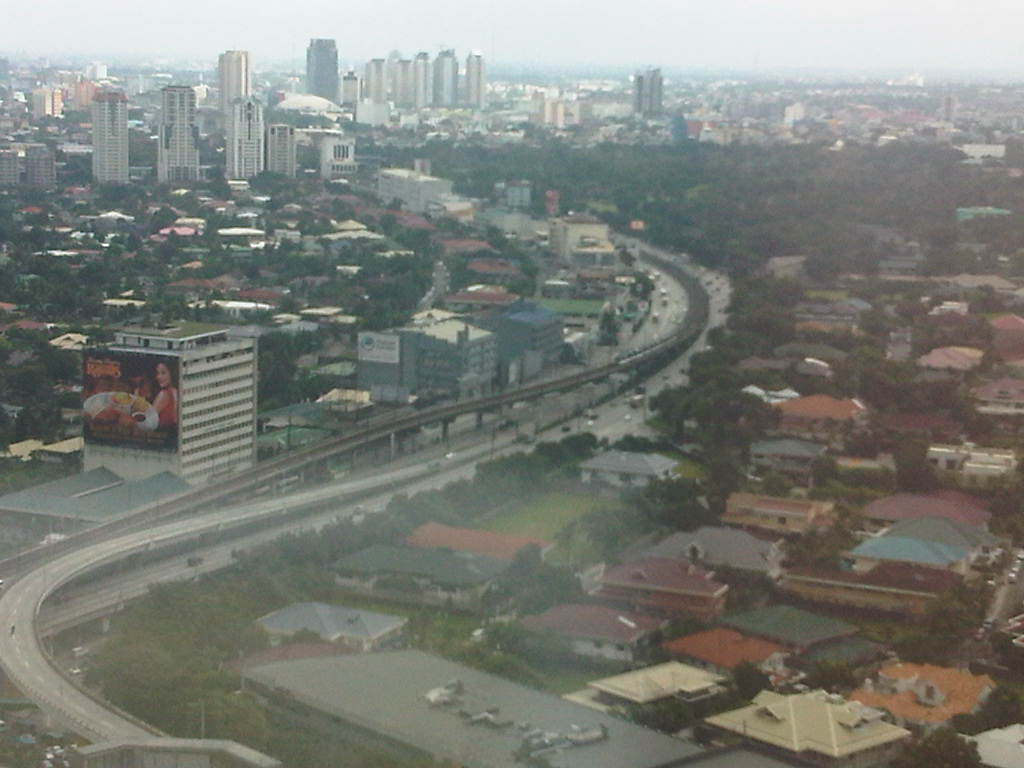 Photo taken from the 35F of the Robinsons-Equitable Tower shows light traffic along EDSA during a holiday. Traffic probably is similar during Sundays while such volumes may be observed on Saturdays only in the early mornings; before 9:00 or 10:00 AM when the shopping malls open.
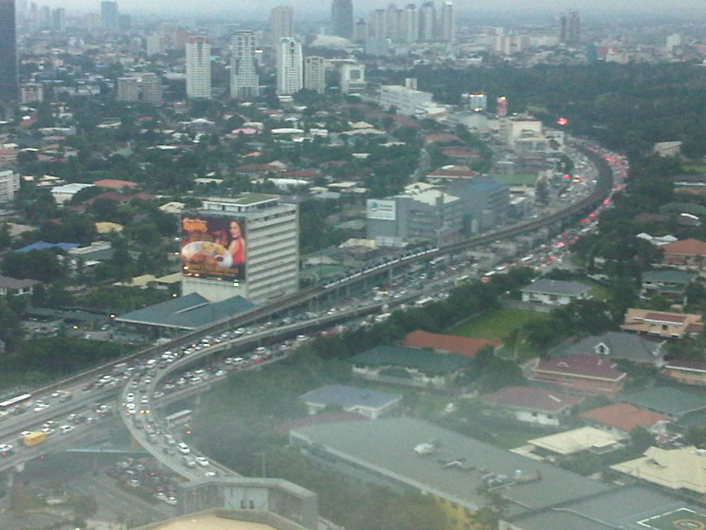 Photo taken at 5:44 pm showing traffic congestion on both directions (northbound and southbound) of EDSA including the overpasses at its intersection with Ortigas Ave. An MRT-3 train is visible in the middle of the photo.
 Photo taken at 6:16 pm with the headlights and taillights indicative of the traffic density during the early evening. Such congestion now usually extends past 8:00 pm with cases where EDSA is still congested near midnight. Such cases are more common now rather than exceptional.
–
Davao’s Traffic Management Center
I finally had the opportunity to visit Davao City’ Traffic Management Center, a modern facility that serves as a command center for traffic management as well as for disaster response for what is arguably the largest city in terms of land area in the Philippines. The city is able to monitor traffic via CCTVs installed throughout its road network, particularly at intersections. This allows the city to also respond to incidents like road crashes and to call in police or emergency personnel for various concerns. Traffic signals are also controlled from this facility. Our visit to Davao was upon the invitation of the City Mayor, Hon. Sara Duterte, and we had a meeting with the City Planning and Development Coordinator, Mr. Roby Alabado, who was a faculty member of UP Mindanao and a very active public servant. With me was Dr. Ric Sigua, Professor at UP Diliman’s Institute of Civil Engineering and the current head of the Road Safety Research Laboratory of National Center for Transportation Studies.
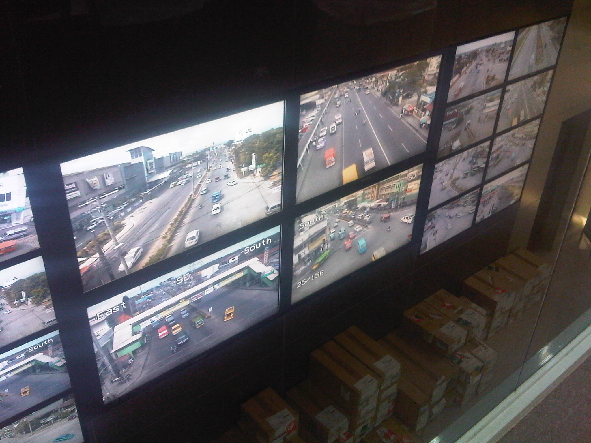 This is a view of the control center screen (actually comprised of several LCD screens) from the conference room of the TMC. Normally, there is a curtain screen covering the glass wall that they can raise in order to give people a view of the video screens.
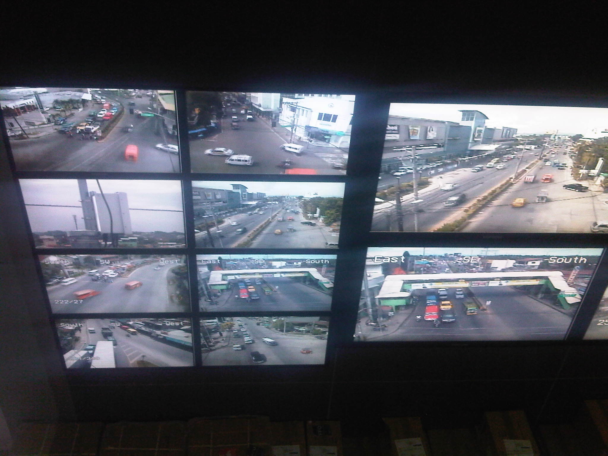 Each screen can be made to show conditions at different locations and staff can control the camera view from the command center. This control allows them to pan, zoom and just about see what goes about at different locations in the city.
 Cameras installed around the city are high definition and can focus and provide clear shots of license plates.
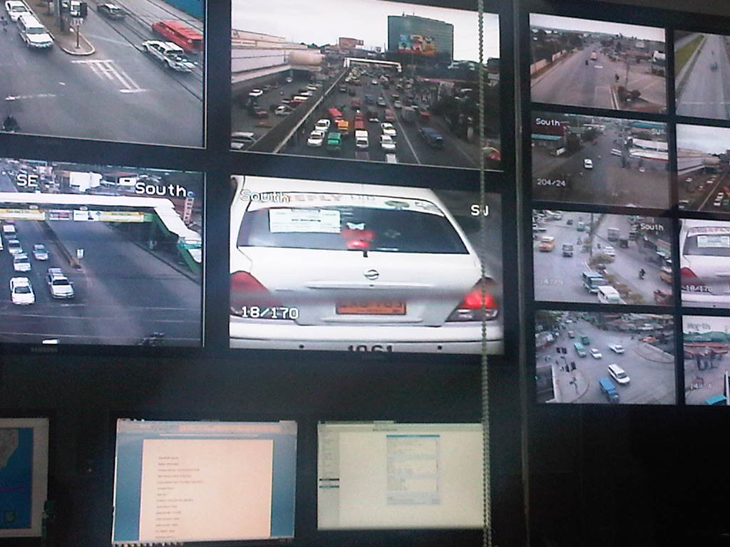 Close-up of a taxi among other videos of areas being monitored. Cameras can also focus on particular people such as a driver trying to bribe himself out of a traffic ticket.
 Videos, particularly those of incidents, are recorded and archived for future reference including reviews related to road crash investigations. Streets are well-lighted to allow for clear capture of incidents at night. In the photo, a truck is observed hitting a jeepney from the rear at an intersection with light traffic.
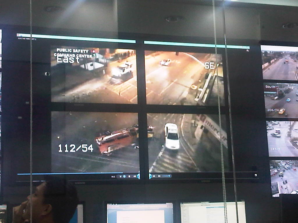 The aftermath of a road crash incident involving a truck and a jeepney shows the latter on its side.
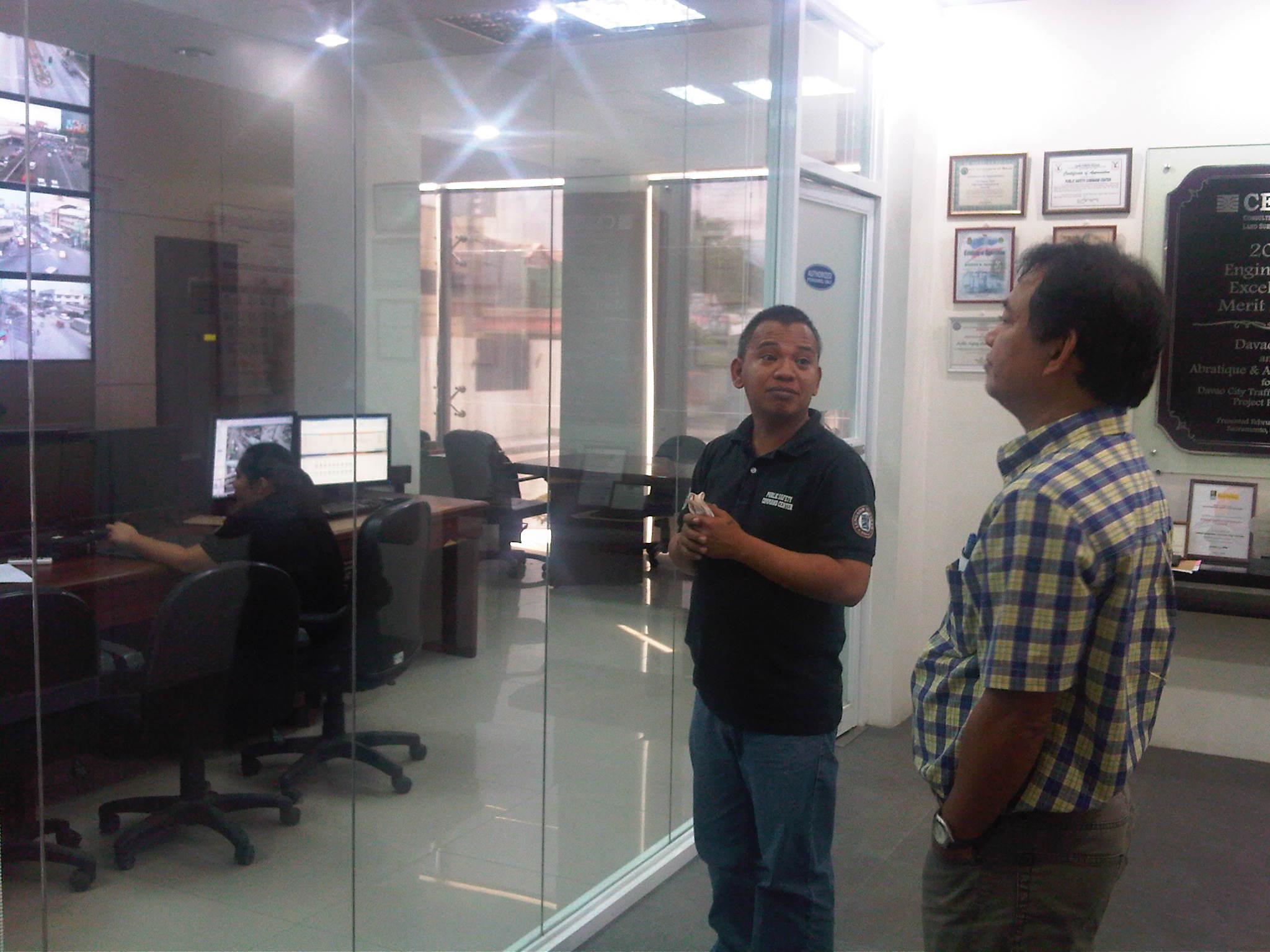 Dr. Sigua being briefed by TMC staff about their capabilities.
 Dr. Sigua with Davao’s Mr. Roby Alabado (City Planning and Development Coordinator) and Mr. Dick Coridel (OIC of Traffic Management Center).
Major cities in the Philippines should have similar facilities for traffic monitoring and management that could also be employed for other purposes as well. The latter may include incident detection, response and management such as emergency response for medical, fire or even security-related incidents. So far, I do know that Metro Manila has two such centers – one with the MMDA and another with Makati City. Cebu has one but it badly needs upgrading including the acquisition of CCTV cameras as they prepare to also upgrade their traffic signal system that was once the most sophisticated in the country.
–
School traffic impacts – issues along Ortigas Ave., Part 2
I had written recently about traffic congestion along Ortigas Avenue that is due mainly to traffic generated by a private school in the area. In the previous post, the photos only show vehicles parked on the sidewalks on either side of the road. They did not show the actual traffic congestion experience. The parked vehicles seem more incidental and indirect than concrete evidence of congestion brought about by school traffic generation though they are a definite manifestations of parking generation, which is directly related to traffic generation.
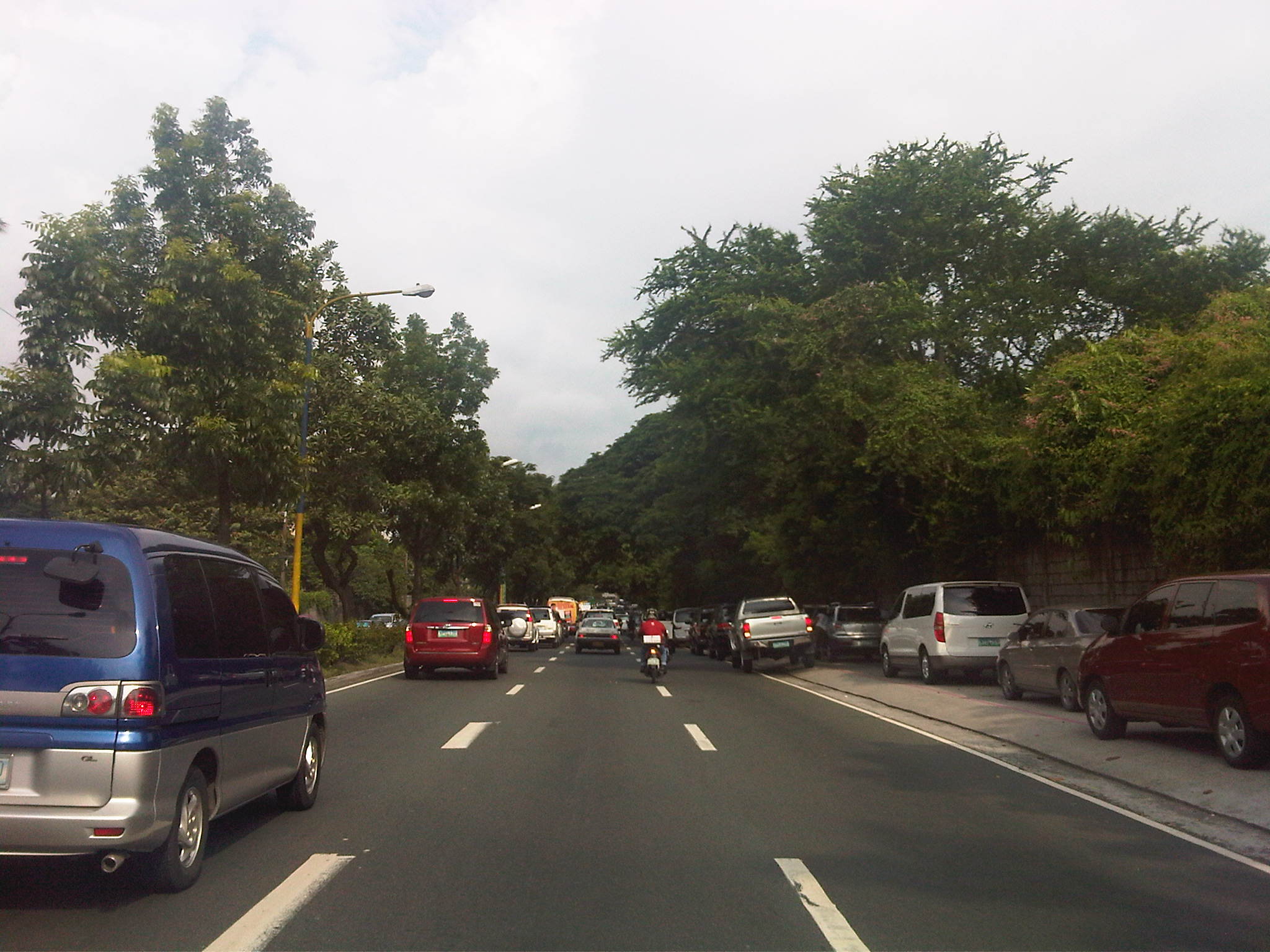 Parked vehicles on the sidewalk are seen as we approached the tail of a very slow moving platoon owing to the congestion generated by an exclusive school.
 Traffic jam with road capacity reduced by the parked and standing vehicles along the EDSA-bound side of Ortigas Ave. The trees are witnesses to the chronic traffic jams and help alleviate their impacts by absorbing emissions from the vehicle.
 Severe congestion as we approached the school – the overpass downstream in the photo is a reference for where the school is located
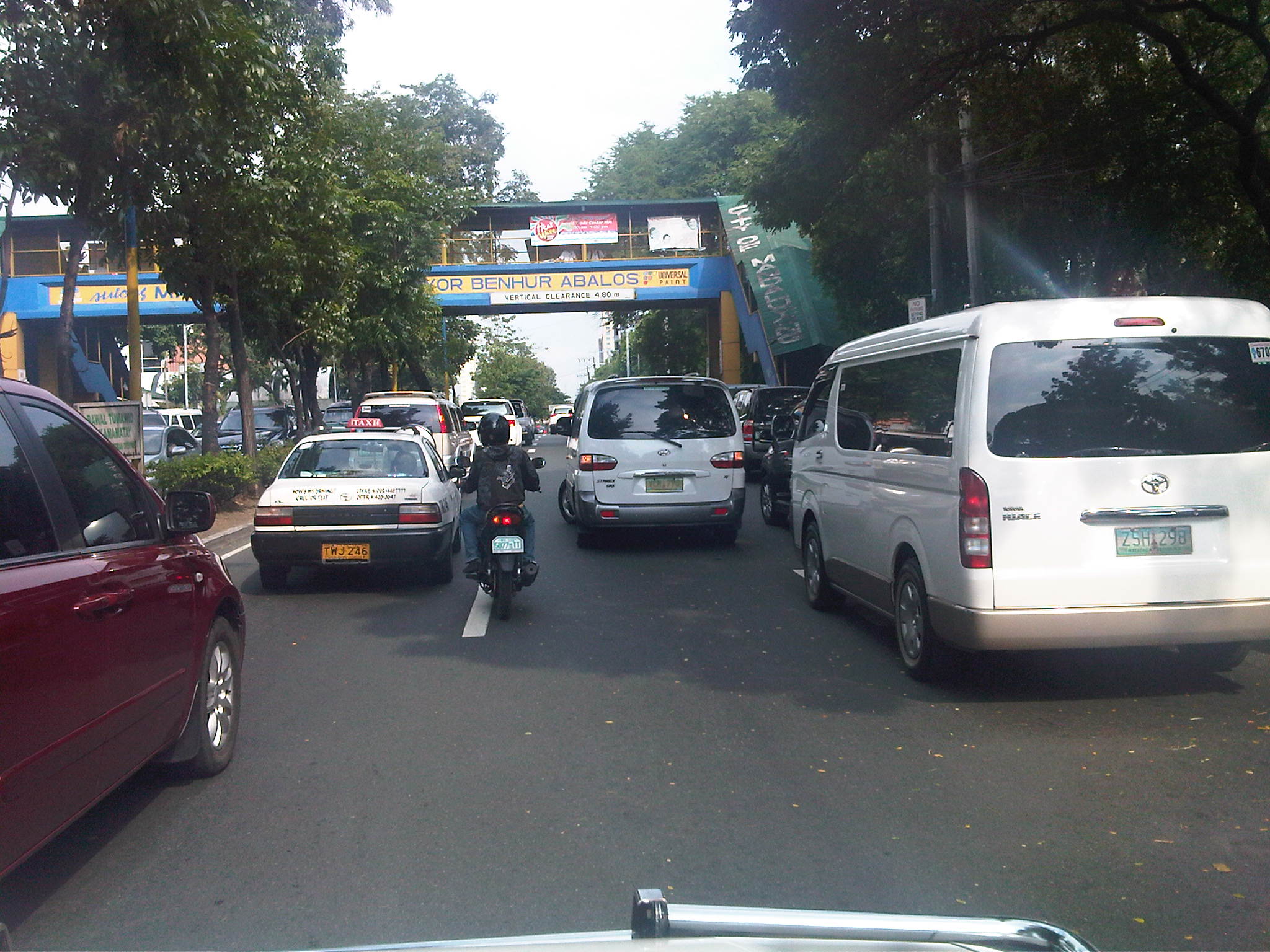 The overpass bears the name of the mayor of Mandaluyong City, where this school is located and which has jurisdiction, together with the MMDA, for traffic management in the area. At the time we passed the area though, there were no enforcers in the area despite the severe congestion. Is this because they gave the responsibility (or burden) of managing traffic to the school? Perhaps there was no need to post enforcers here as congestion is a regular thing and people seem to have been conditioned with the almost daily experience.
 The area at the foot of the pedestrian overpass actually functions as a pick-up and drop-off area for students of the school. As such, vehicles occupy not just the the sidewalk but also more than a lane of Ortigas Avenue. This effectively constricts traffic along this major road.
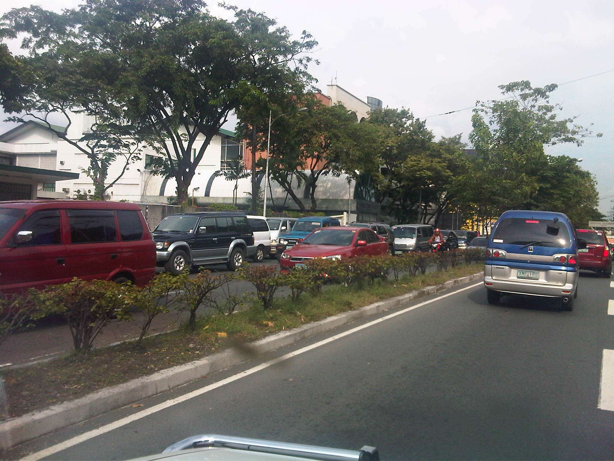 Traffic is slow along the San Juan-bound direction of Ortigas as vehicles waiting for their passengers (students of the school) are lined up and occupying the outermost and even the middle lane of the road.
 This queue is not entirely attributed to traffic generation by the school but is likely due to traffic management at the EDSA-Ortigas intersection, which is signalized. If the signal setting is not optimized or if the intersection is not cleared of straggler vehicles, traffic is backed up along all the approaches to the intersection. The tall building in the background hosts DOTC’s headquarters. I wonder if our officials are taking in the congestion that occurs almost daily (weekdays) and if they are even crosses their minds how to solve this problem and others like it around the country.
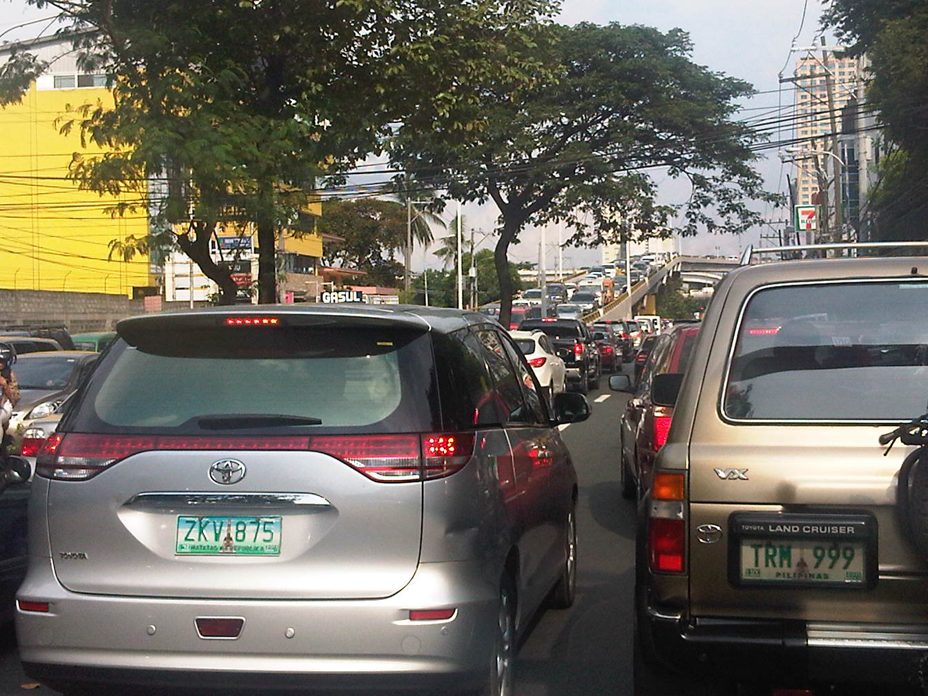 Proof that congestion is along both directions of Ortigas Ave. is seen in the middle of the photo where vehicles are also backed up along the overpass ramp coming from EDSA’s northbound side. For what it’s worth, the DOTC headquarters is right along this road at the building where the 7-Eleven (sign visible in the photo) is located.
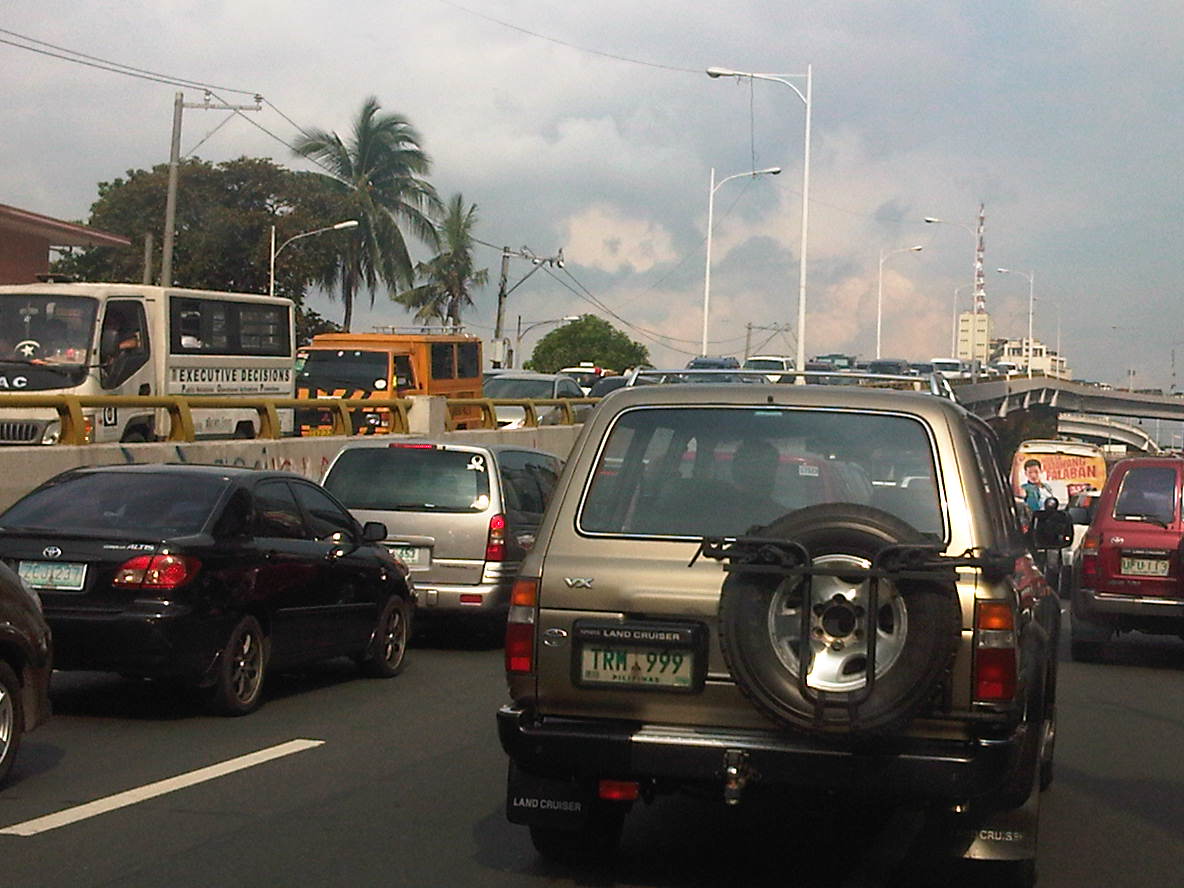 Another and even closer look of what is literally bumper-to-bumper traffic along both sides of Ortigas Avenue during the afternoon peak triggered by the exclusive school along its San Juan-bound side. Visible in the photo is the congestion along the overpass from EDSA.
–
School traffic impacts – issues along Ortigas Ave., Part 1
I have written about school traffic generation in this blog and have mentioned about the traffic congestion experiences along major thoroughfares due to the vehicles attracted by private schools. La Salle Greenhills (LSGH) is an exclusive school found along Ortigas Avenue and during the summer months of April and May, people passing through the stretch of the road from EDSA to the Greenhills Shopping Center are relieved that they won’t have to go through traffic jams due to the school-generated traffic. From June to early December and January to March, however, the area is almost always congested in the morning and afternoon. Such congestion is predictable since it occurs during a period when students come to school and when they are dismissed mid-day or in the afternoon.
Heading to a meeting at the DOTC from the University one morning, we decided to take an alternate route. Instead of EDSA or C5, we took East Ave., Tomas Morato Ave., Gilmore Street and then emerged at the westernmost end of Ortigas in San Juan. It was already 9:00 AM when we arrived at the section most affected by the traffic generated by LSGH and so we didn’t to get caught in a jam as we proceeded towards our destination. We were proven right as traffic was almost free-flowing, and I took advantage of the traffic conditions and to take a few photos of the indicators for the potential traffic congestion in the area. The following photos also show a serious parking problem and (sadly) the usurpation of space from pedestrians. For shame!
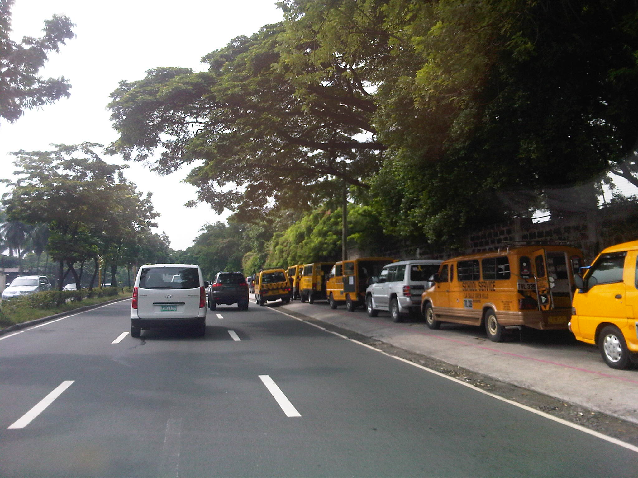 School service vehicles parked along the sidewalk along Ortigas Avenue – beyond the wall on the right is Wack-wack, a high-end residential subdivision named for the sound of golf clubs swinging at its famous course.
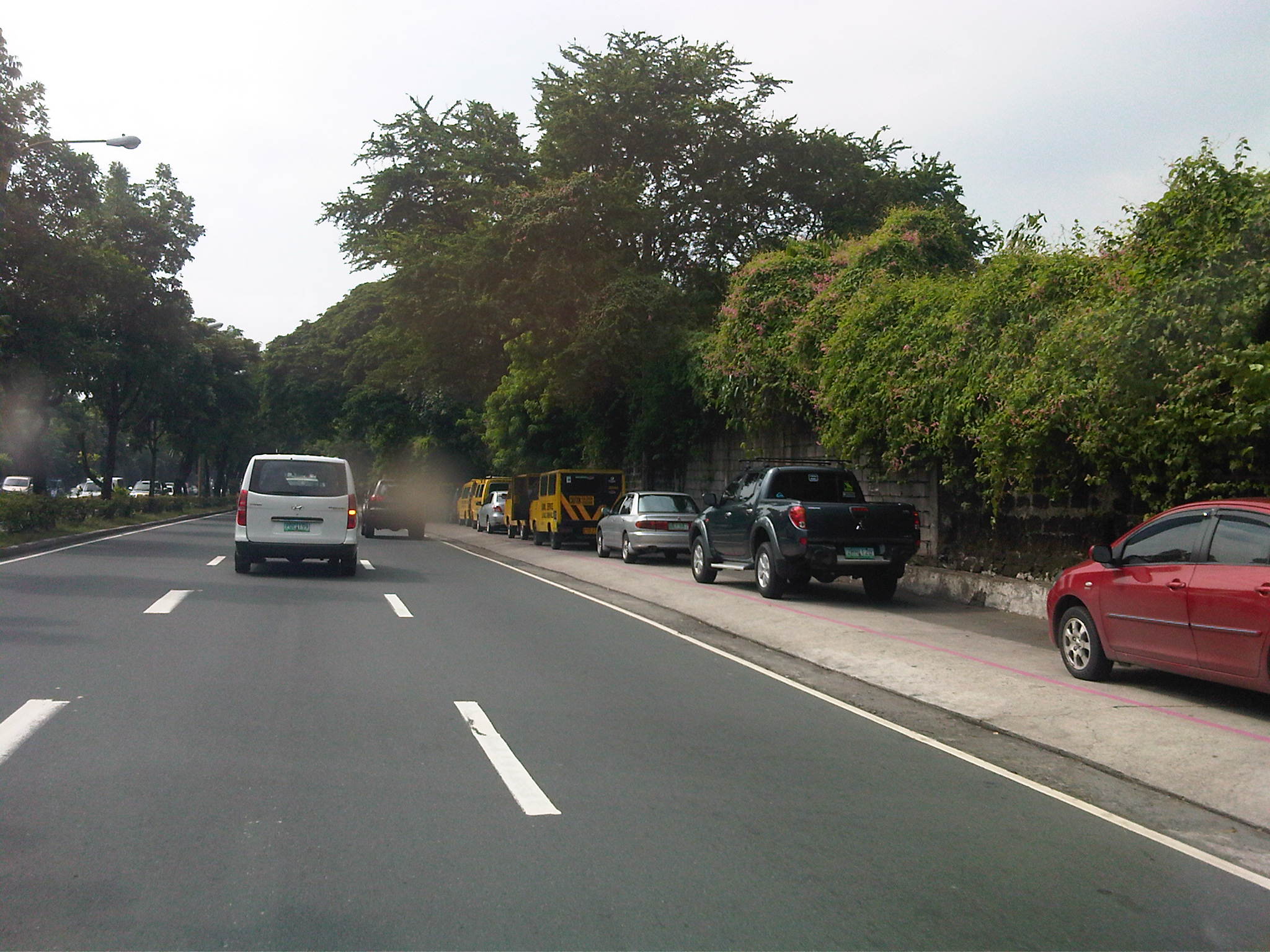 Private vehicles parked along the same sidewalk – noticeable in the photo is the pink line drawn by the MMDA to supposedly demarcate space that should not be obstructed and instead allocated for pedestrian use. It is clear in the photos that pedestrians would have to walk along the edge of the sidewalk or the outer lane of the carriageway itself, increasing the risks for them to get sideswiped by motor vehicles.
 More parked vehicles along Ortigas Avenue, mostly private vehicles that are highly likely owned by those studying at LSGH.
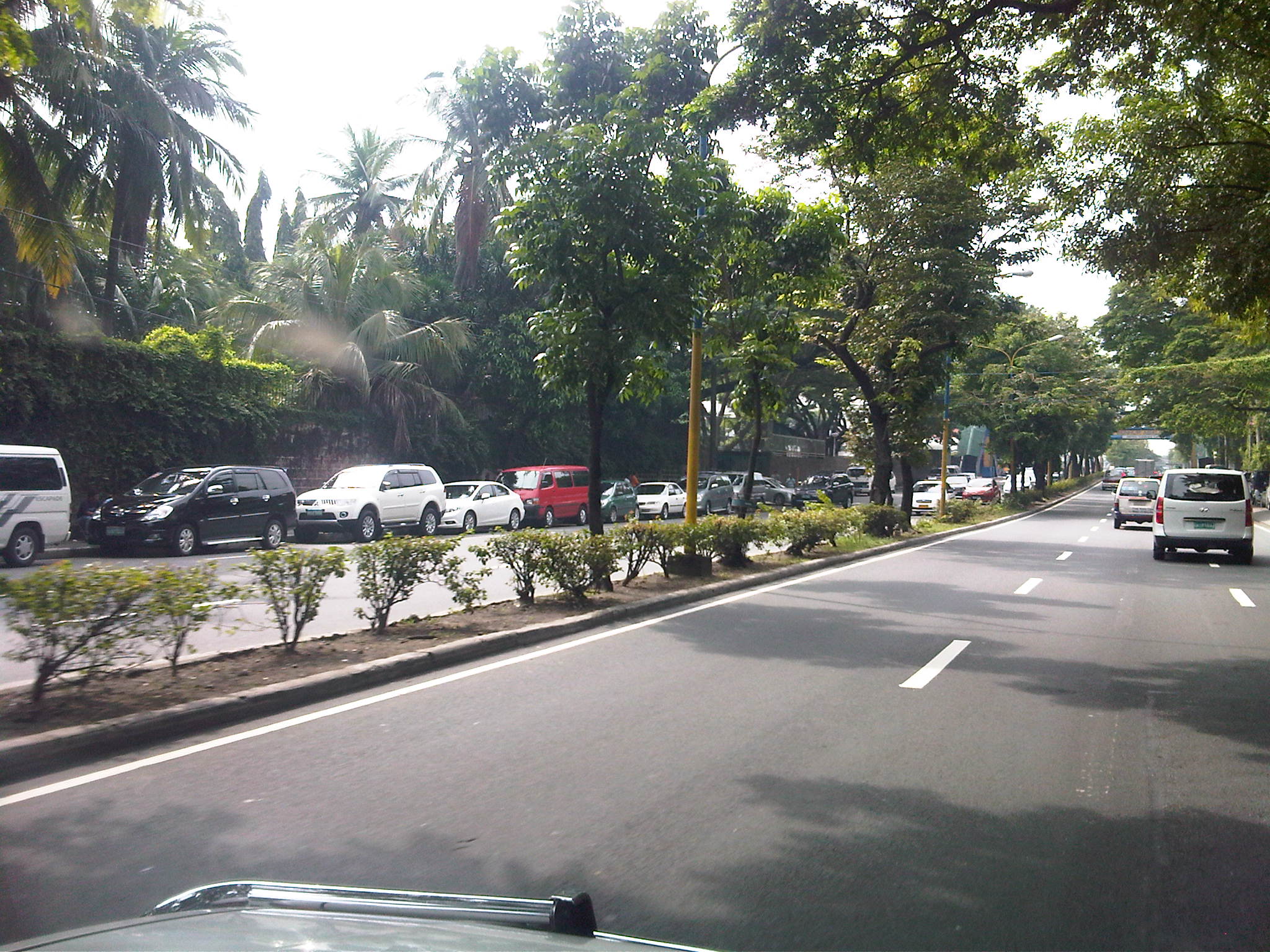 It’s actually worse on the other side of Ortigas Ave. as vehicles occupy a lane of the carriageway, effectively reducing capacity along this stretch of the road.
 It seems the main purpose of the pedestrian overpass is to allow students to safely cross the street to get from and to their vehicles. I can only imagine the congestion caused by drop-offs and pick-ups along Ortigas Ave., which for certain times of the day functions as a driveway for the school.
–
Manila East Road
The Manila East Road is located in the province of Rizal to the east of Metro Manila. The section of the highway featured in this post connects the towns of Taytay and Angono in the province of Rizal while also in the vicinity of Antipolo City, Cainta and Binangonan. References will tell us that the road actually stretches all the way to Laguna where it passes through the towns of Pangil, Pakil and Paete along the east coast of the Laguna de Bay and continues through more towns of Laguna until Calamba.
The following photos were taken one rainy afternoon while we were listening to the radio about senators giving their individual verdicts on the first article of impeachment for the Chief Justice of the Supreme Court of the Philippines. While there are rain drops visible in the photos, these did not obscure the view of the highway allowing us to take good enough shots to illustrate the stretch of the road from Angono to Taytay (junction with Ortigas Avenue Extension (R-5) and just before the ascent to Antipolo). It is supposed to be part of Radial Road 5 or R-5 but other references also point to the continuation of Ortigas Extension through Antipolo and Teresa as also part of R-5. These roads eventually converge in the town of Morong, Rizal.
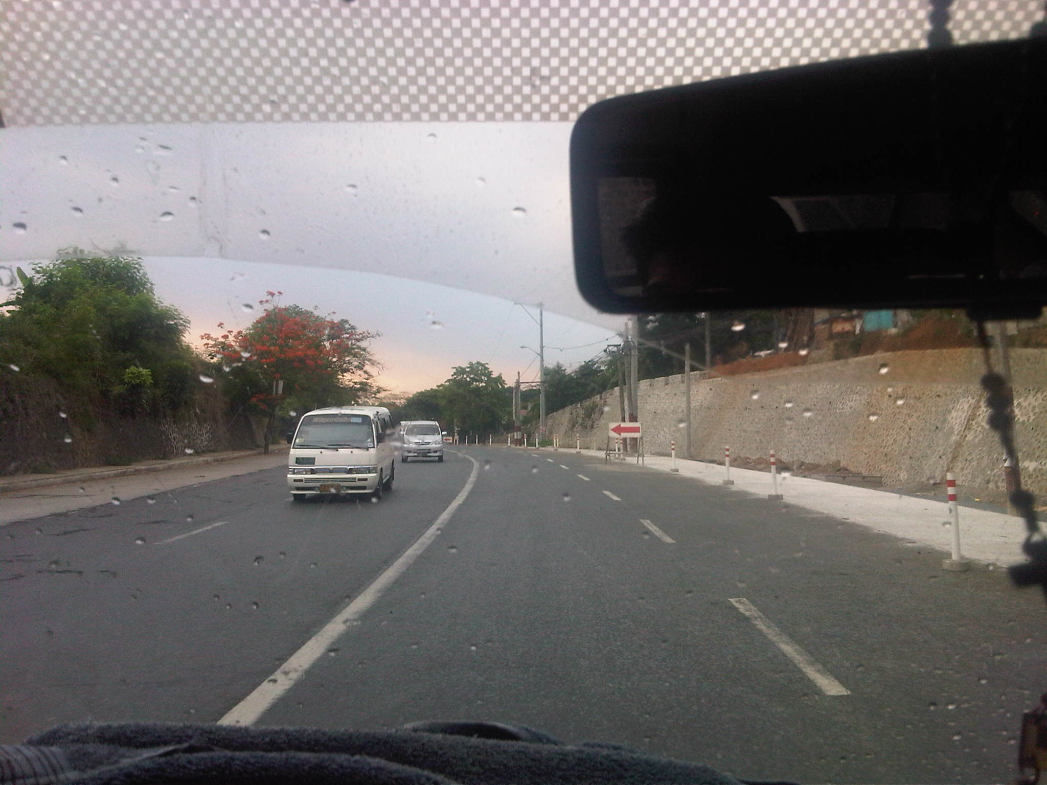 Descending from an exclusive resort where we just had a workshop hosted by a national government agency, we traveled along a section that was a 4-lane undivided road being widened to have 3 lanes per direction. While there’s a sidewalk on one side, the other side did not have pedestrian facilities.
 The section, it turns out, is a continuation of what was already a 6-lane highway as shown above.
 The 6-lane section, however, constricts into 4-lanes near the junction to the original road passing through Angono town proper. Pavement conditions were good but most markings have faded or non-existent.
 Typical of rural highways around the country, there is a proliferation of tricycles traveling along the Manila East Road. These often cause congestion due to their operations including having informal terminals along the highway.
 The lack of pavement markings can be a source of confusion for motorists who are not guided and would have the tendency to encroach into the paths of other vehicles.
 Rather simple sign to mark the boundary between Angono and Taytay. Elsewhere, there would have been an arch designed and put up by one of the towns and reflecting its character or showing off products or attractions.
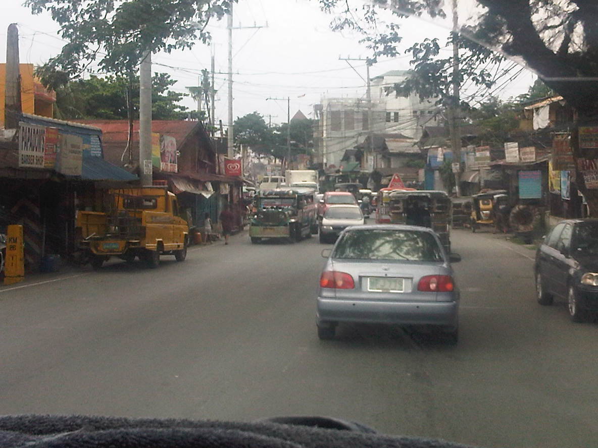 Shanties and other structures of informal settlers line up along this section of the road, effectively constricting traffic. This is supposed to be a 4-lane section (perhaps more if we check the RROW) but roadside friction including the presence of roadside parking and informal structures reduce space to about 3 lanes as shown in the photo.
 Most properties along the stretch of the highway seem unaware of building code provisions for pedestrian sidewalks and clearance in front of the building. These are matters that should have been inspected and ensured by local government.
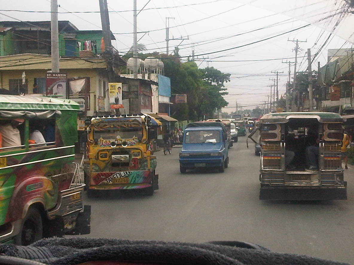 Taytay is one of the more densely populated towns of Rizal and would probably already qualify for cityhood ahead of many other LGUs that became cities in the last few years despite having shaky incomes among other qualifications. Land use planning, however, does not look like something that was undertaken for much of the areas adjacent to the highway.
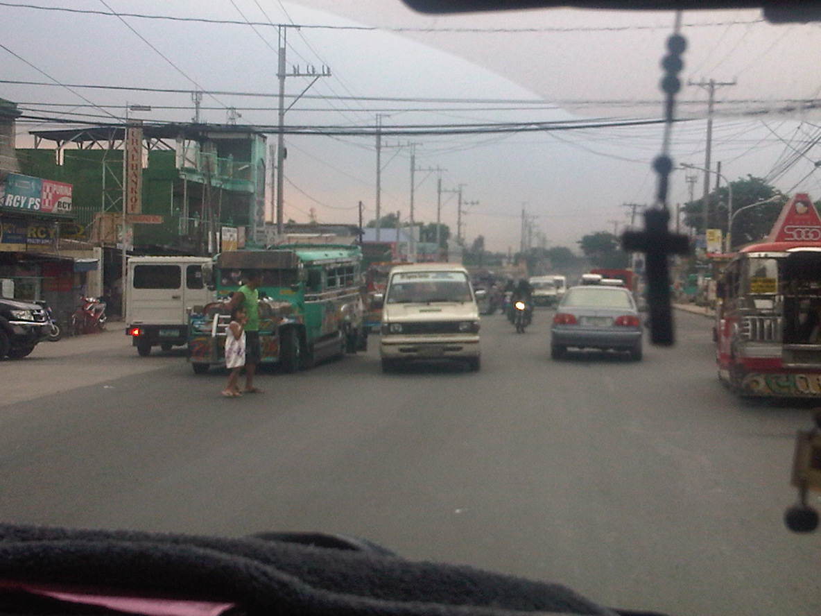 Pedestrians practically cross anywhere along the highway, with most like the man with a child in the photo seemingly uncaring about the risks posed by motor vehicles. In the case above, there are no pedestrian crossing signs or markings but in places where there are such designations people rarely follow the zebra crossings mainly out of ignorance and partly out of stubbornness.
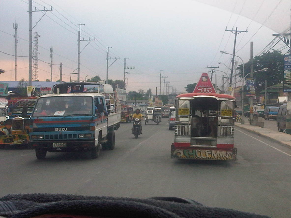 Along one section, the road widens and has along the Ortigas-bound side (right in the photo) a 2-lane service road separate from the main carriageway by a narrow concrete island. The service road is also plagued by parking though its purpose seems to be that for loading and unloading of passengers.
 Electric posts are located dangerously close to the road and would probably fall over if hit by a wayward vehicle. Such is probably the result of road-widening and shortcomings with coordination with the utility company as well as some fault, too, with the utility company as well.
 Another section with excellent pavement conditions but no pavement markings.
 There are short bridges along the highway due to the streams that run across the road from the mountains in the east to the general direction of Laguna De Bay and the Manggahan Floodway to the west. These bridges also tend to limit the width of the carriageway as shown in the photo.
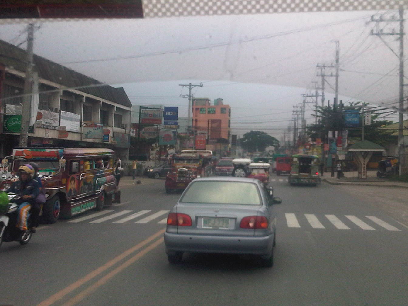 After the bridge, the road widens back to 4 lanes and complete with standard markings. For the entire length of the road from Angono to Taytay there is a trend, based on our observations, that sections alternately widen and narrow based on the developments on either side of the road.
 On-street mayhem is when you mix different kinds of vehicles and pedestrians on the road in the Philippines.
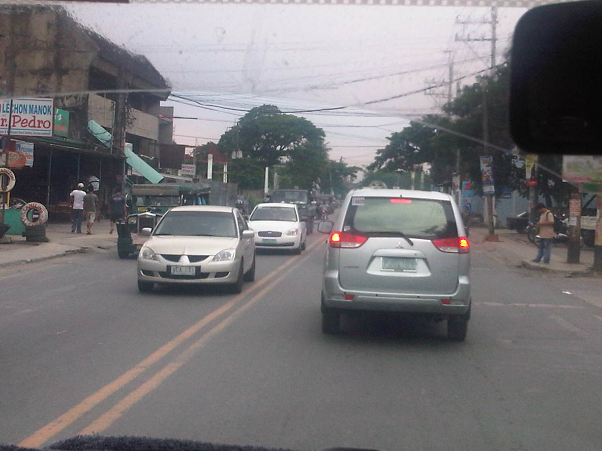 What is supposed to be a 4-lane road seems like a 2-lane carriageway because of some delineations missing and vehicle tending to hog the equivalent of 2 lanes like the vehicle in front of us.
 Junction with A. Bonifacio Ave (from Imelda Ave. and the Cainta Junction). A. Bonifacio passes through the town centers of Cainta and Taytay but is usually a very congested road having a narrow 4-lane carriageway that’s effectively a 2-lane road. The Manila East Road effectively bypasses that road. Notice that after the junction, the road markings are all there.
 Curve right after the junction
 This section has a total of 8 lanes based on the pavement markings but effectively has only 6 as the outermost lanes are often occupied by parked vehicles or used by pedestrians in the absence of sidewalks along either side of the highway.
 Pedestrian bridge between two buildings comprising the SM City Taytay. People have a tendency to cross at street-level so to force them to use the overpass, barriers were placed along the median. The barriers seem to be quite porous and I only wonder if anti-jaywalking policies are enforced in the area.
 An 8-lane stretch of the highway featuring a covered court with the name of a provincial politician stamped on its roof. This section used to have only 4 lanes with some shoulder space on either side of the highway. The DPWH and the local government had a measure of success in recovering land from encroachments and easing informal settlers off from the RROW, something that should probably be undertaken but which requires much more effort along sections shown in the previous photos.
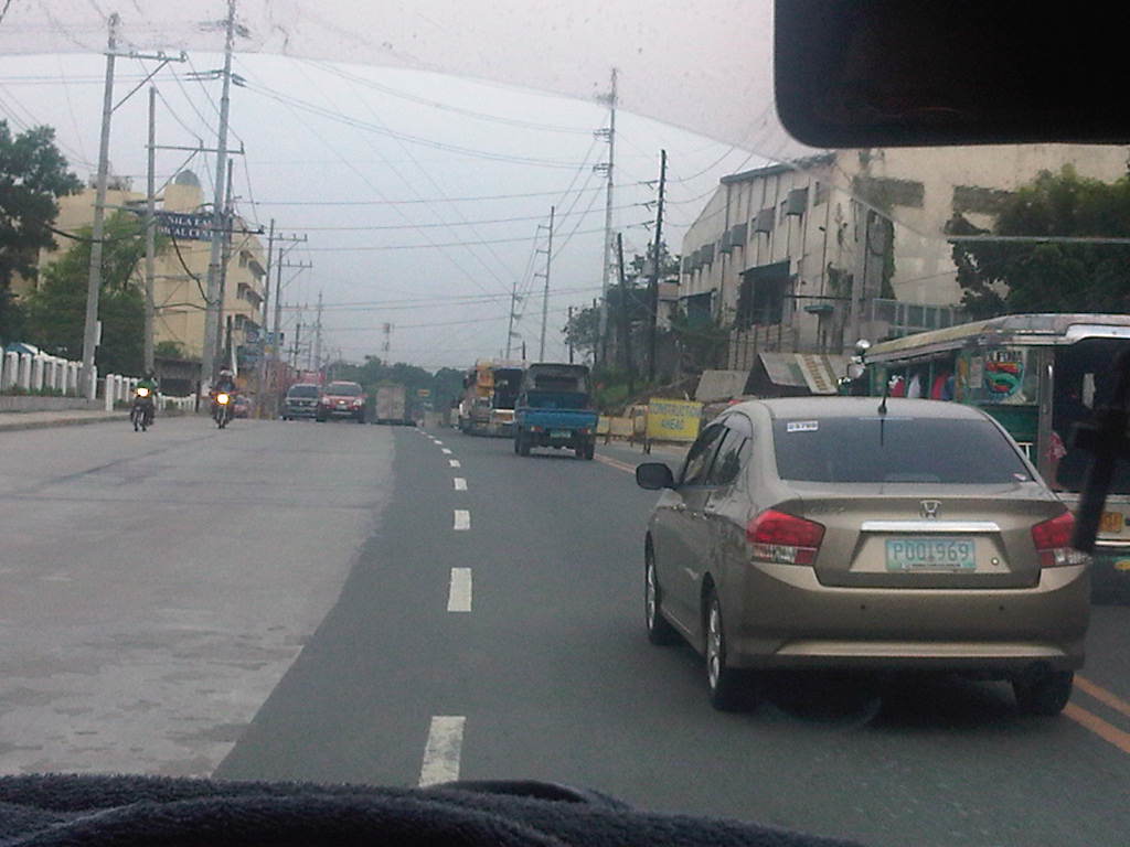 Road widening was still being implemented along the Ortigas-bound side of the highway when we passed through. There was no congestion though since the carriageway was wide enough to carry the light traffic during the early afternoon.
 The 8-lane section narrows to the equivalent of 6 lanes though the pavement markings seem to indicate only 4 lanes as shown in the photo. Already visible in the photo downstream of our position is the Tikling Junction – the intersection of the Manila East Road with Ortigas Avenue.
 Approach to Ortigas Avenue Extension and Leonard Wood Road (which is to the left just before the intersection with Ortigas)
 Junction with Ortigas Avenue Extension
–
Road congestion around NAIA: Sales Bridge
A particularly urgent problem concerning traffic congestion is the case of the Sales Bridge along the Sales Road at the Nichols/Villamor Air Base area. The bridge and the road is the main access from Fort Bonifacio and the Taguig/Makati areas and is used by most vehicles going to or coming from the airport not using EDSA and Tramo. That’s practically much of the airport-related traffic from Quezon City, Pasig, Marikina and Rizal Province. There’s usually also traffic congestion along Tramo from EDSA but this is predictable and the reason why more people tend to use the route via Sales Bridge. Nowadays its pretty bad in the Villamor area and this has been an inconvenience to a lot of travelers.
It’s been more than a couple of months now since repair/rehabilitation works for the Sales Bridge began and there are only a single lane bound for the west-bound direction and 2 lanes for the east-bound side. From the last time I passed through the area, it seems that the work on the bridge will be taking more time to complete and so more people will have to endure the inconvenience of congestion in the area. There are not so many options for traffic re-routing but I believe traffic enforcers at the intersection of Sales Road and the West Service Road should prioritize traffic bound for or coming from the airport considering the latter being a major gateway not just for Metro Manila but for the country.
 Vehicles queued along the east-bound side of Sales Road. The blue wall on the right is the fence of Villamor Air Base. The overpass on top is the access ramp for the Skyway.
 2At the junction, where there is a roundabout for traffic coming from the airport, Sales Bridge and the West Service Road of the South Super Highway, traffic is all tied up and you can usually hear a lot of honking among motorists whose patience have been tested by the traffic jam.
 While there are traffic enforcers posted at the intersection to manage traffic, they can only do so much given the capacity of the bridge. The volume of traffic from the airport and the service road can usually overwhelm the enforcers but they should try to establish priority for traffic. It seems that the west service road is usually given more priority than the traffic to and from the airport. This should not be the case here considering NAIA is a main gateway to Metro Manila and the country.
–
Montalban Highway
The Montalban Highway is located between the junction with J.P. Rizal Avenue in Rodriguez, Rizal (formerly known as the town of Montalban) and the junction with Payatas Road in Quezon City, Metro Manila. It serves as part of an alternate but somewhat longer (distance-wise) route between Metro Manila (via QC) and the northern towns (San Mateo and Rodriguez) of Rizal Province. The other route is through the Batasan-San Mateo Road, which also has a bridge crossing the Marikina River. While it is longer, it is often the less congested road and may perhaps offer faster travel (shorter travel times) between QC and San Mateo or Rodriguez. It is definitely the faster route to Montalban since travelers won’t have to pass through the town proper of San Mateo, which can get congested due to the local traffic and narrow roads.
 Turning right from J.P. Rizal and unto the QC-bound side of Montalban Highway
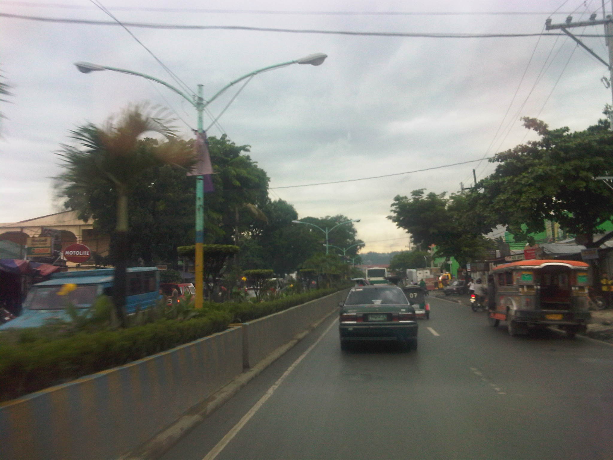 The road is a 4-lane/2-way highway with a median island with a plant box separating opposing traffic.
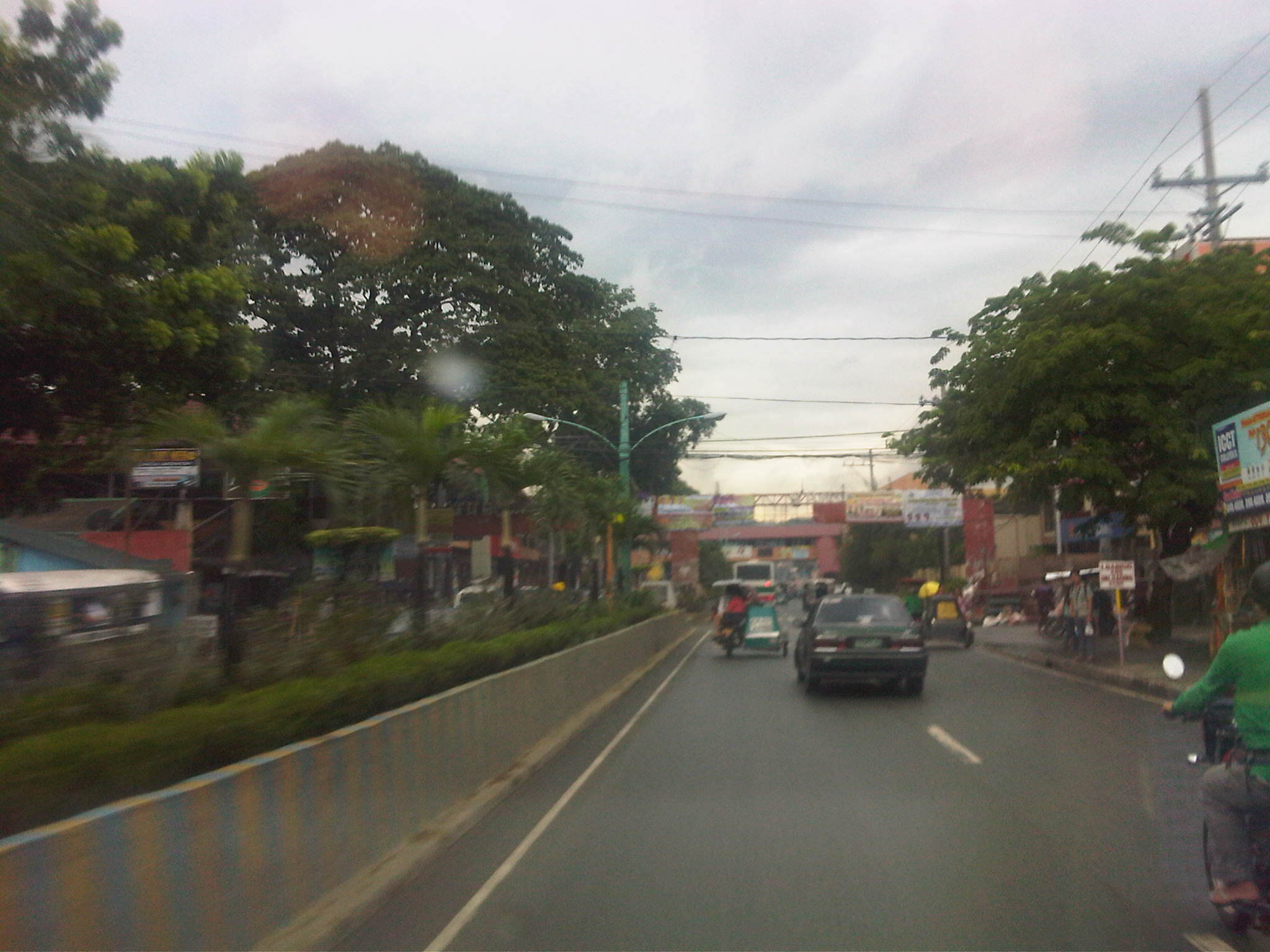 Traffic is a mix of cars, tricycles, jeepneys, buses, even bicycles and pedicabs.
 Along the highway is the Montalban Town Center, which has buildings on either side of the road midway through the highway. The buildings are connected by a covered elevated walkway.
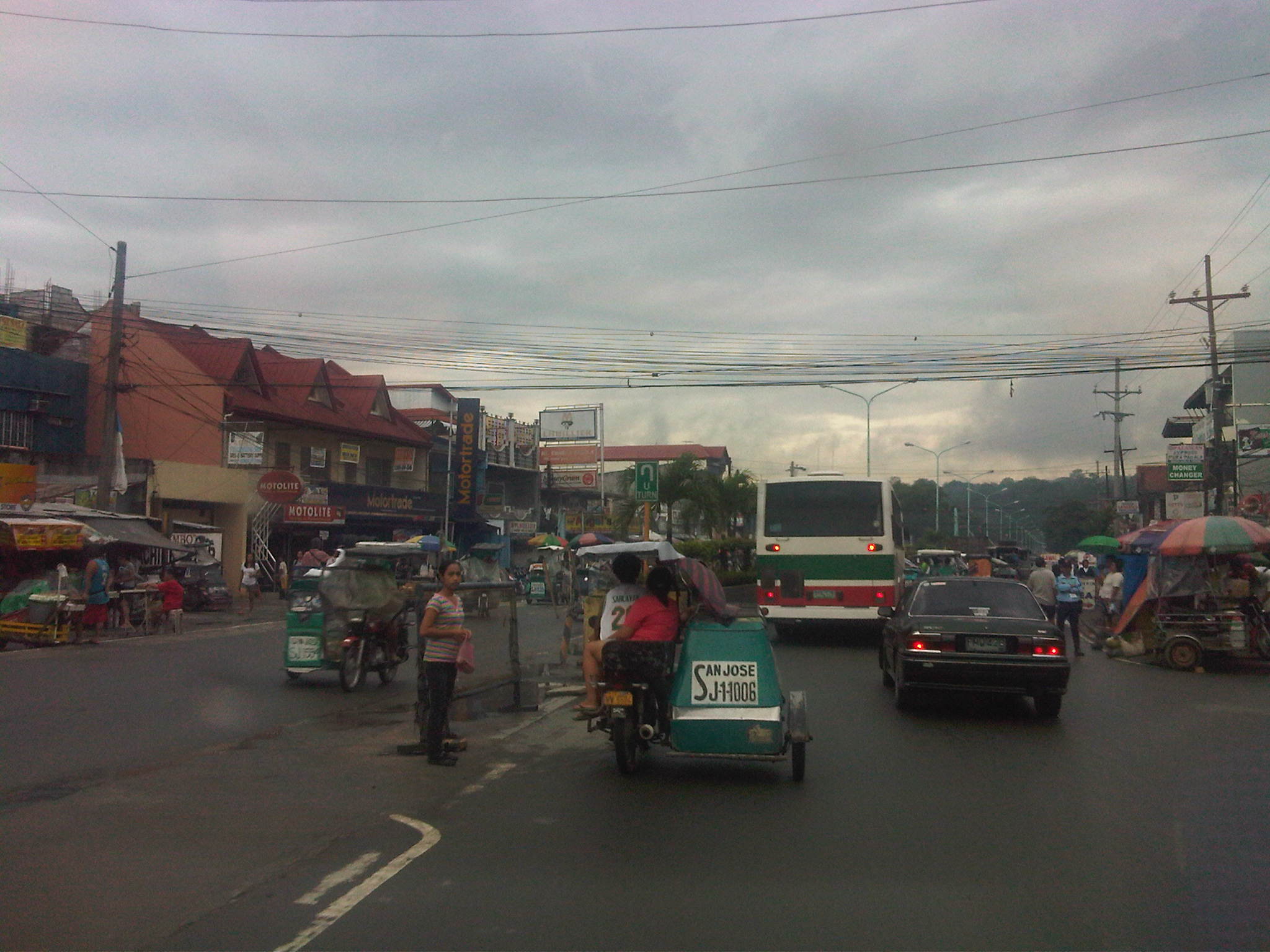 Past the town center is the Montalban Public Market and the area reminds of what Kalayaan Avenue in Makati City looked like before it was widened.
 We couldn’t understand exactly what the tagline “committed to change with honor” really meant, especially when it’s placed together with the sign for the market.
 Tricycles easily clog up the highway with many trying to get passengers by slowly traveling along the curbside.
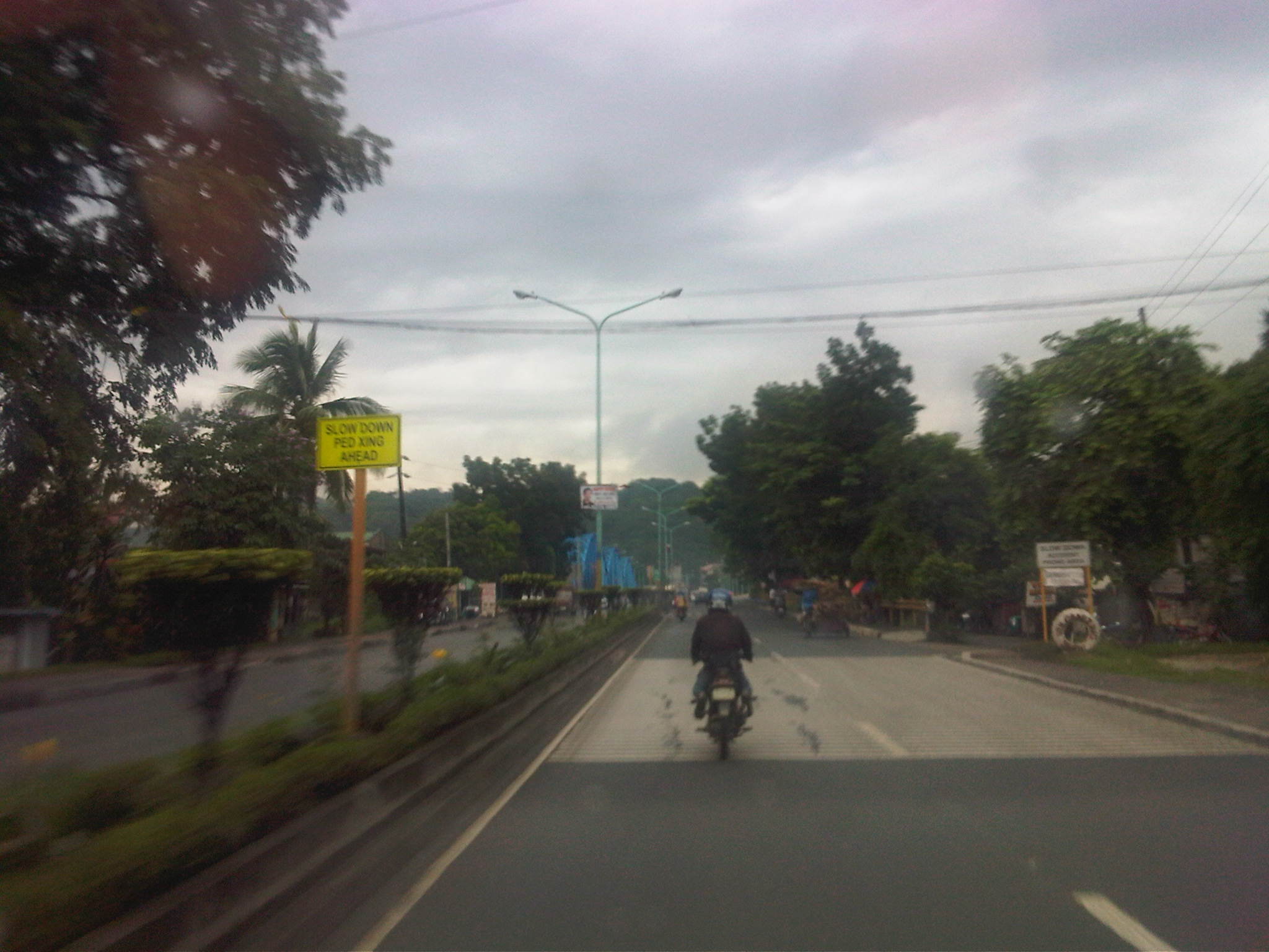 Past the commercial/market areas, traffic is free-flowing.
 Approach to the San Jose Bridge crossing the Marikina River
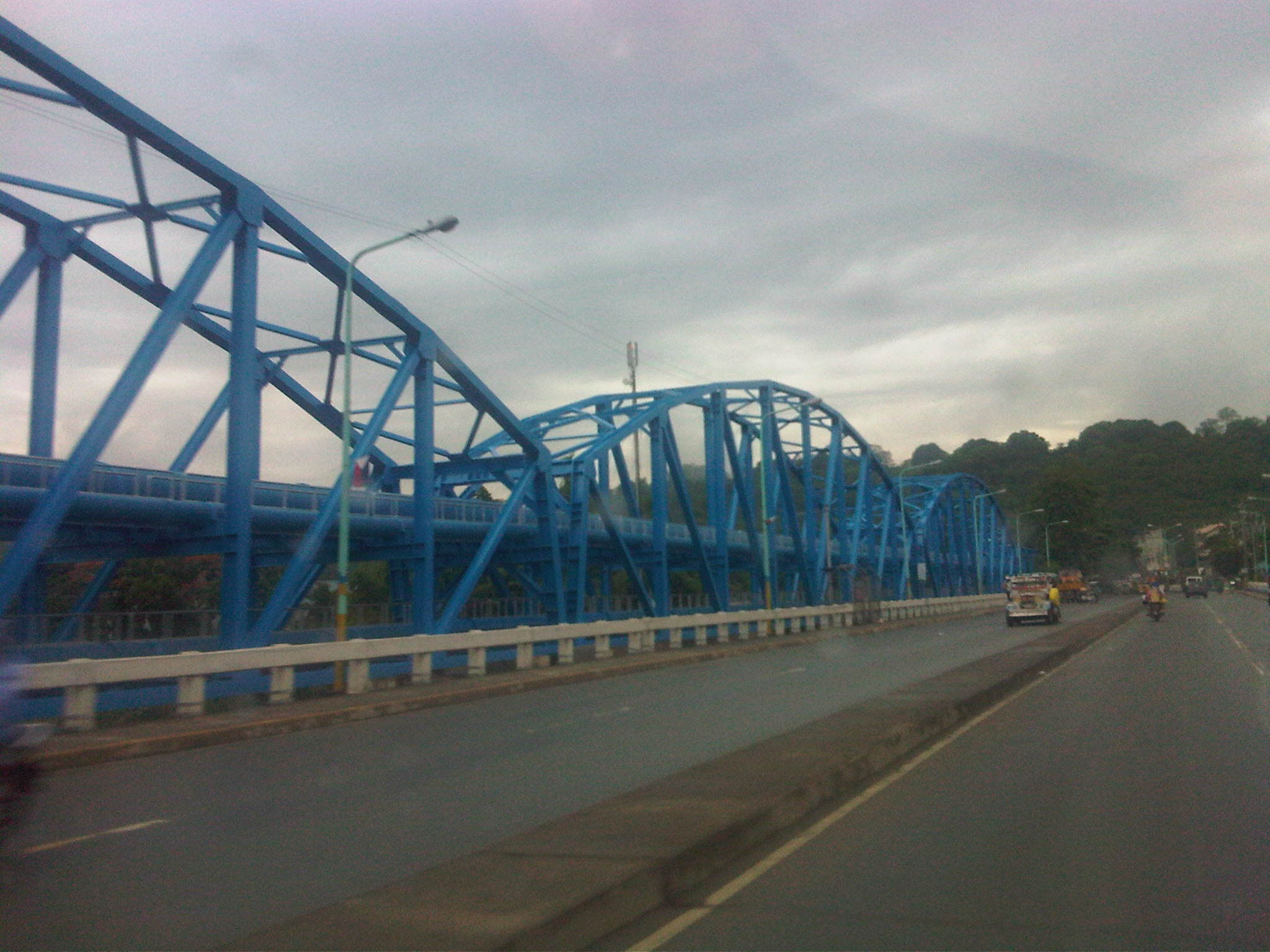 There’s a steel structure alongside the bridge that carries water pipes. From distance, the structure together with the bridge makes it look like the San Jose Bridge is a steel structure.
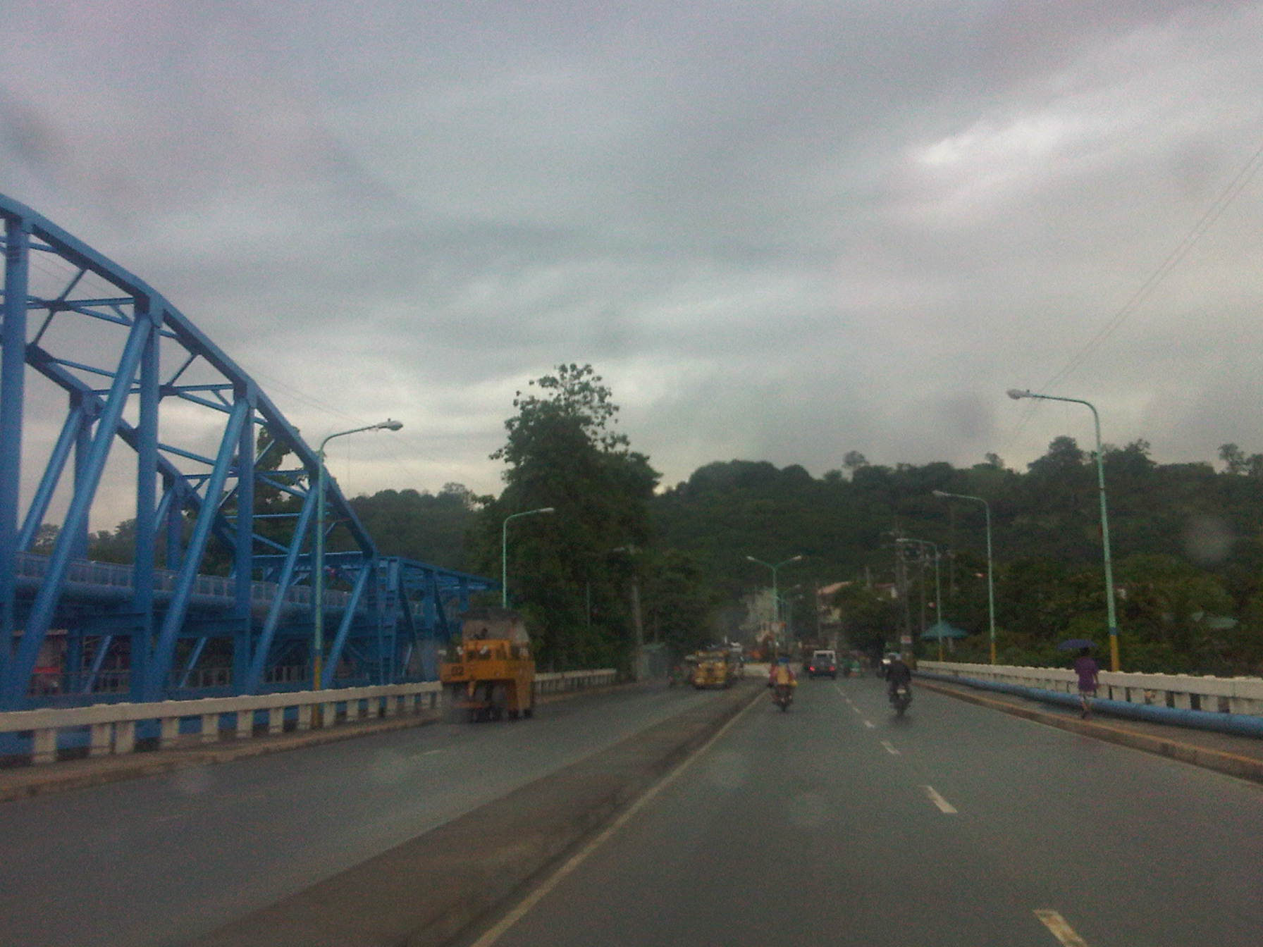 What looks like a hill at the end of the highway is actually part of the La Mesa Dam reservoir and watershed.
 After crossing the bridge, traffic is still light but vehicles generally slow down as they approach the end of the highway where there is a junction.
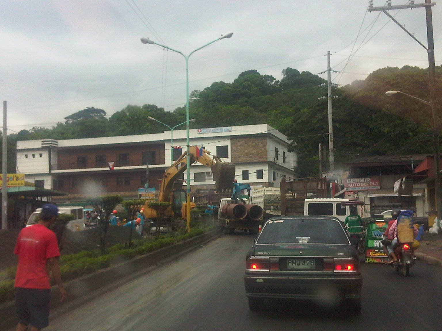 It turned out that vehicles were also slowing down due to major waterworks being conducted at the intersection of Montalban Highway and Payatas Road.
 A closer look at the pipes being laid out in the area when we passed by this June.
–
School traffic generation – Part 3: LSGH and Ortigas
Was at the DOTC for a meeting and couldn’t help but look out the window from the conference room while waiting for the meeting to start. Our meeting was being held at the 16th floor of the building housing the Department and so it gave an excellent vista of the surrounding area. I was particularly interested in a view of Ortigas Avenue know there was no congestion that time of the day mainly because school was still off. The latter observation is important here because La Salle Greenhills, which is just a stone’s throw away from the building, is a major traffic generator with cars and school service vehicles clogging up the stretch of Ortigas Ave. from Galleria to the Greenhills Shopping Center. In fact, one can find vehicles parked or waiting along the road and even on the sidewalks, depraving pedestrians the proper and safe space to walk.
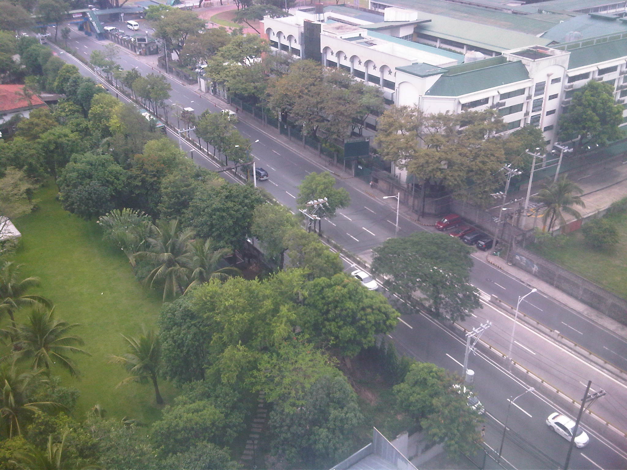 Free-flowing traffic along Ortigas Ave. in front of LSGH on a Friday mid-afternoon.
 Main gate and pedestrian overpass at LSGH – there seems enough space for a multi-level parking lot inside the school but perhaps there are other options other than low capacity transport for the students.
 Impact area – photo showing LSGH in the foreground and the Greenhills area in the background, including Virra Mall on the upper left and the condominiums around the Greenhills Shopping Center and behind Camp Crame.
 Exclusive roads – the photo above seems the same as the previous one. A distinction though is that it shows Holy Cross Street (at right in the photo), which is inside Greenhills East Subdivision, an exclusive residential subdivision. The road and other streets in the subdivision are not open to general traffic and so cannot ease traffic along Ortigas Ave during congested periods.
 Greenery – across LSGH is Wack wack, one of the first golf courses in the country and a welcome patch of green in the middle of the metropolis. Trees also line up along Ortigas Ave. but their capacities to absorb the CO2 produced by motor traffic are not enough considering the volume and frequent congestion along the road.
–
Lane rationalization along Katipunan Avenue
While driving along Katipunan last weekend, I noticed the excavations beside the median island along the southbound direction. The excavations were of curious shapes as they were large holes that were conspicuously beside each of the small trees planted on the median island. It suddenly struck me that this was likely the implementation of the planned adjustment of the median island to allow for an additional lane along Katipunan northbound. A few more passes along the project site confirmed my suspicion and I was finally able to take a few photos this morning of the work along this section of C-5.
 The old median island has already been removed to make way for an additional lane along Katipunan (C-5) northbound. This will increase the number of lanes from 3 to 4 and should ease traffic when classes open in June. Meanwhile, the trees have been replanted on the adjacent lane on the southbound direction where a new median will be constructed.
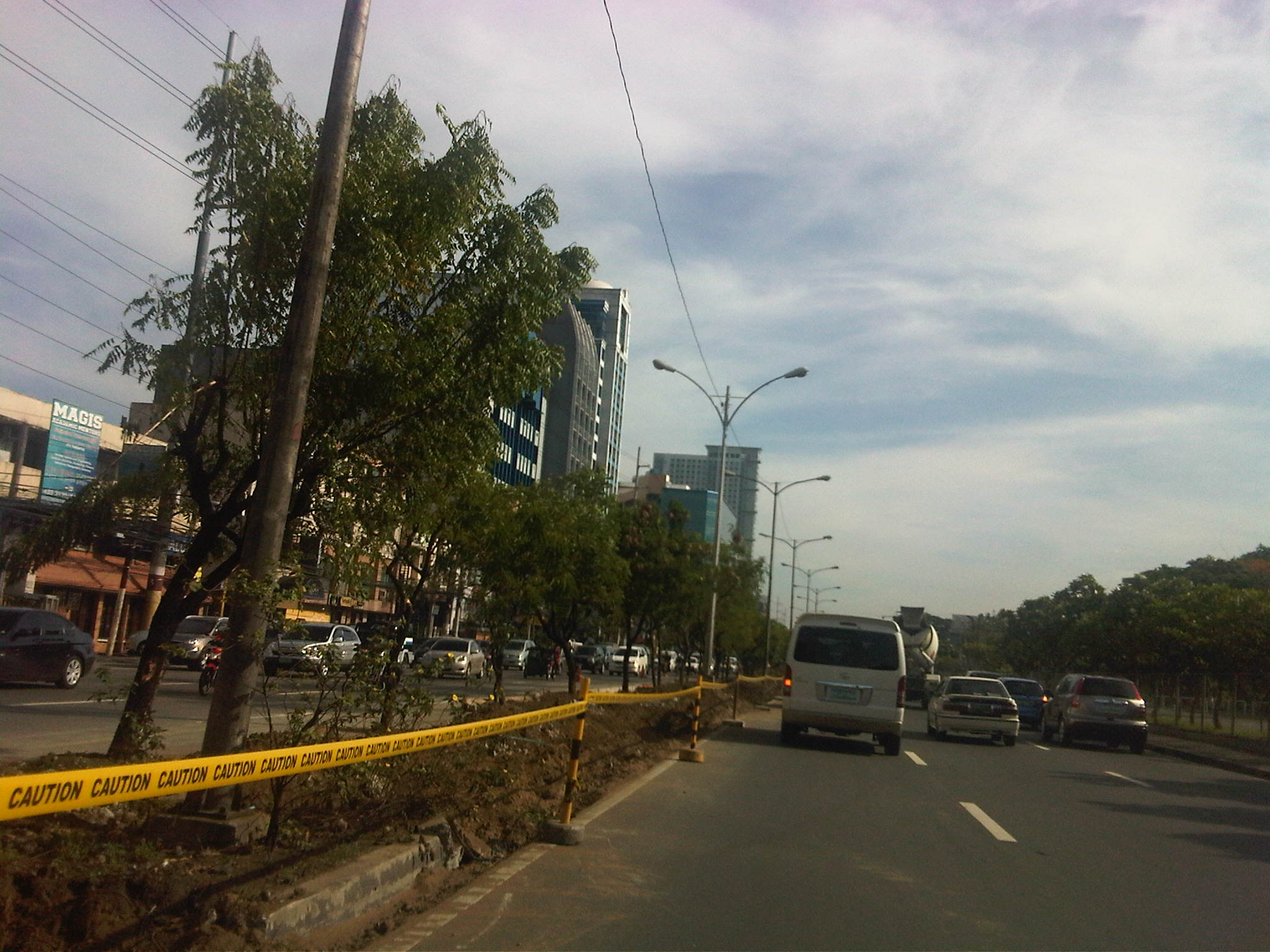 Aside from the trees, the light poles will also have to be transferred. I assume this will be done with Meralco and during the night time to reduce impacts on traffic.
 After transferring the trees, the old curb is demolished and the soil excavated and transferred to the new median on the other side. A new curb is being constructed and is visible in center of the photo.
 While the project is being implemented 2 lanes of the southbound side are effectively unusable to traffic with one lane being converted into a median and another being used by the contractor for their equipment and materials.
Once completed, the section of Katipunan should have 4 lanes along the northbound direction. Meanwhile, the southbound direction will have 5 lanes from the 6 it had after the west service road was removed as part of the U-turn scheme implementation by the MMDA 9 years ago. The 5 lanes are not all usable to general traffic since 1 or 2 lanes area often occupied by parked or standing vehicles in relation to the establishments on this side of Katipunan.
–
Road crashes: disasters waiting to happen
While I’m very appreciative of the efforts of the MMDA particularly on traffic management, there is still much to be desired regarding enforcement around Metro Manila. These include the need for consistent and firm enforcement of traffic rules and regulations along major roads such as Commonwealth, EDSA, and C5. There are still many instances of speeding along Commonwealth as many drivers (cars and buses) and riders (motorcycles) are already aware of the usual positions of MMDA enforcers measuring speed along the highway.
In the vicinity of current and former U-turn slots, there are also many violations especially where motorcycles can squeeze into openings to conveniently (though dangerously) make turns. Some U-turn slots are positioned across side streets of major roads and are used by motorists for making left turns. Often, one will find vehicles inching their way to cross the major road, effectively blocking through traffic. This is particularly the case along Katipunan just across from the gate of an exclusive subdivision well-known for its politician residents. While the Katipunan – C.P. Garcia intersection is only a few meters away for those intending to travel along the southbound side of C5, many vehicles (conspicuously those which are expensive and of the luxury type) cross C5 northbound to make left turns at the U-turn slot/median opening. A few meters away, MMDA enforcers and QC Police turn blind eyes to the practice, leaving motorists to fend for themselves in trying to avoid each others’ vehicles while also trying not to constrict traffic.
Such situations increase the likelihood for road crashes in the area, exposing people to unnecessary risks. These also exacerbate traffic congestion as crossing vehicles interrupt the otherwise smooth (and continuous) flow of traffic towards C.P. Garcia. Such situations are also perfect examples for cases where there may not be crashes occurring but there is a high likelihood for incidents to happen. Crashes waiting to happen seem too theoretical that the MMDA and the PNP apparently have difficulties understanding the concept, which is the basis for assessments of road safety including the star ratings given out by iRAP. It is not necessarily only the actual number of crashes (or accidents) occurring that is evaluated but the likelihood for them to happen given the conditions at any particular area. Perhaps this is why many of our roads remain unsafe because many of our administrators, planners, engineers and enforcers continue to fail to understand this concept for the potential for crash occurrence. And this is where we should work on to address – very hard!
The following photo was taken one early morning along Katipunan prior to the peak period that typically starts around 6:30AM during times when there are classes at the schools along this stretch of C5.
 Early morning road crash near the La Vista gate along Katipunan (C5) involving vehicles encroaching towards the U-turn slot to make a left turn at the median opening.
Perhaps we should also extend our appreciation of the concept of disaster risk prevention and mitigation to our streets. After all, road crashes may also be treated as disasters. They result in deaths, injuries and damages to property. The only difference and probably more frightening aspect of these disasters on the road is that they do occur on a much more frequent basis than you major earthquakes and typhoons.
–
 Caught (up) in traffic