
Home » Traffic Management (Page 20)
Category Archives: Traffic Management
Traffic congestion due to waterworks and roadworks
Driving from the airport this morning, I already saw the buildup along Villamor due to some roadworks being undertaken along the overpass crossing the SLEX. As such, I decided to take an alternate albeit longer route via Tramo and EDSA on my way back to Antipolo. It would have been longer but I had assumed Tramo and EDSA would be free-flowing at 7 AM on a Saturday. I was wrong!
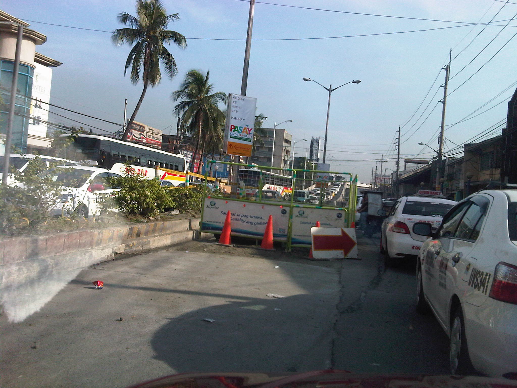 Tramo congestion – Tramo is usually congested due to a variety of reasons including provincial buses maneuvering to and from terminals and depots located along the EDSA-bound side of the road and the proliferation of tricycles and pedicabs operating along the road despite the clear ban against them on national roads. The latter serve the informal settlers who live along Tramo (and Pasay), even occupying parts of the waterways in the area. This morning, waterworks by concessionaire Maynilad added insult to the injury that is congestion along the road. Airport-bound traffic wasn’t so lucky, too, as they had to contend with what seems to be a flawed setting of the traffic signal at the intersection downstream.
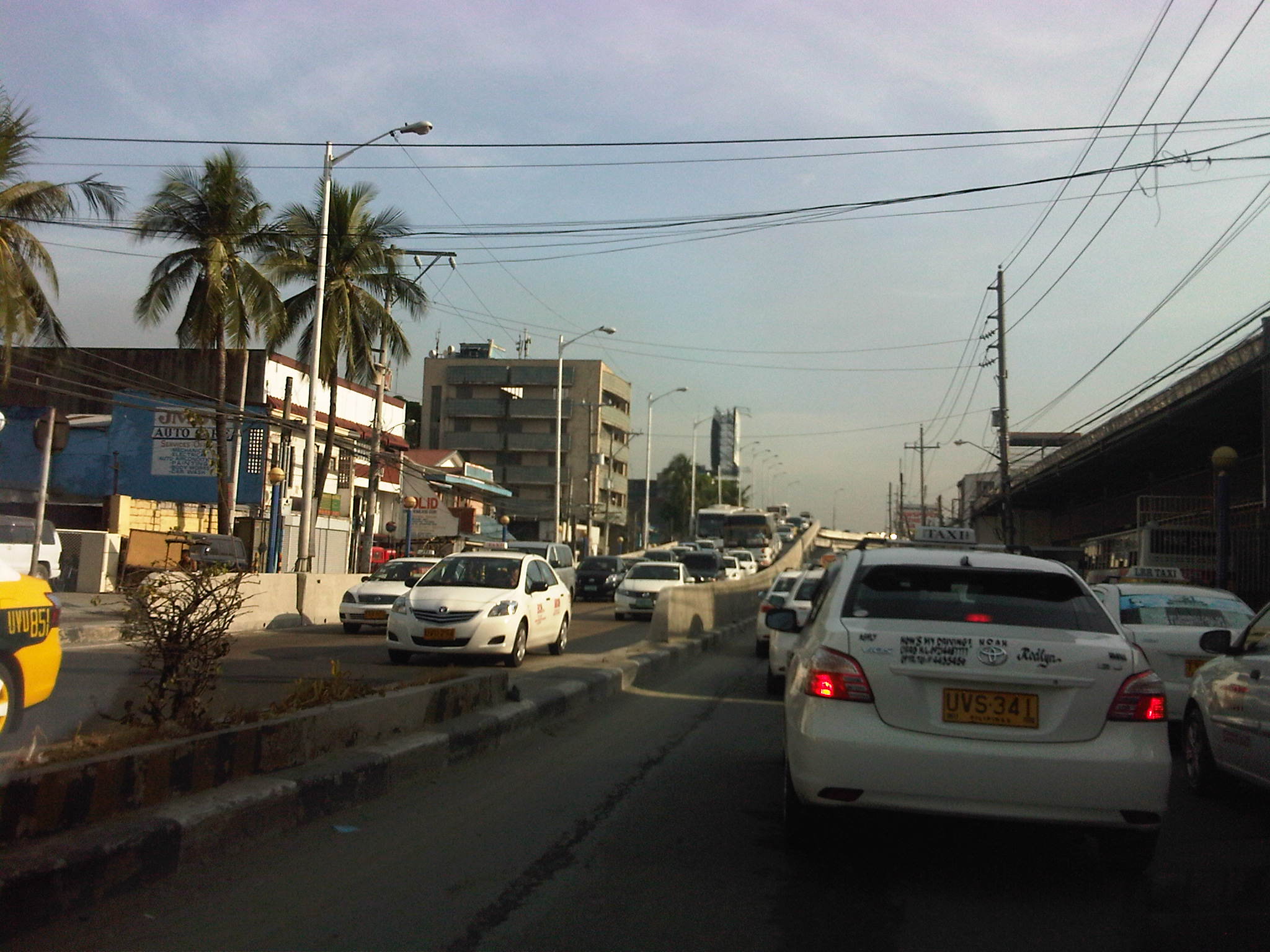 More traffic – after passing the Maynilad work site, there was still much congestion and it turned out this was due to very slow turning (i.e., all vehicles must turn right upon reaching EDSA) as MMDA traffic enforcers were not doing their jobs to ensure the intersection was clear of buses, jeepneys, taxis, and tricycles and pedicabs loading and unloading after the intersection, along which provincial bus terminals were all lined up. That’s right. There are tricycles and pedicabs along EDSA. I would have taken photos of the situation but unfortunately, these have to be against the sun and my trusty cell phone could not manage to get good photos. Such congestion is supposed to be manageable if enforcers would just be strict/firm in doing their jobs.
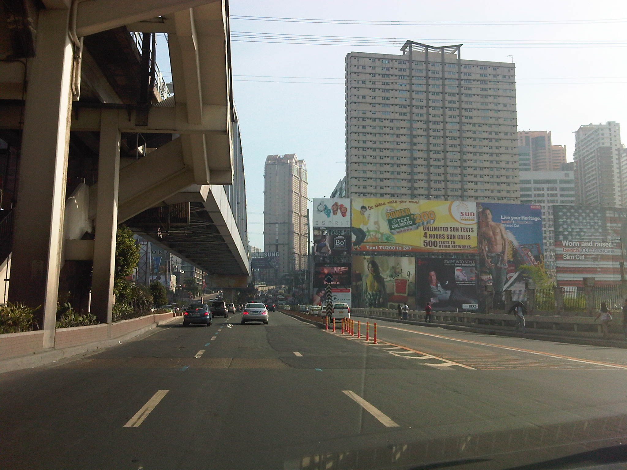 EDSA traffic – after recovering from the congestion along Tramo and the stretch of EDSA from Tramo to Magallanes, I stumbled upon another buildup as I passed Guadalupe and crossed the bridge at the Pasig River.
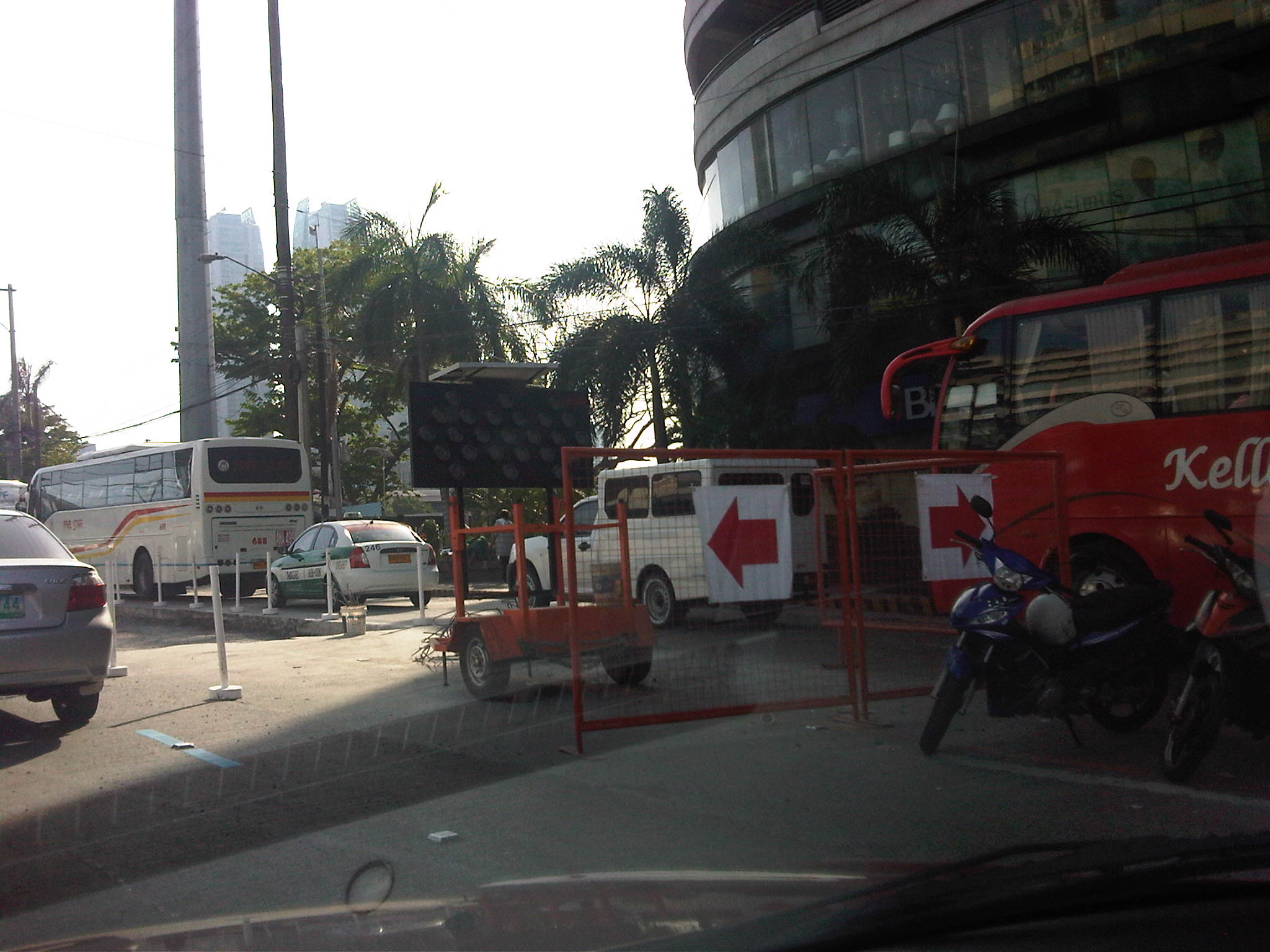 Re-blocking – it turned out that the congestion was due to roadworks along a lane of EDSA, which practically occupied 2 lanes due to the equipment and temporary barriers set up in the area near Reliance and the Boni MRT-3 Station.
 Hectic schedules – I forgot that the re-blocking works along EDSA and other major roads in Metro Manila are undertaken during the weekends when traffic was supposed to be relatively light compared to the weekdays. As such, the MMDA only allows DPWH and its contractors to conduct works during the weekends, targeting completion by Sunday night in order for the lanes to be usable by Monday.
 Imelda Avenue again – as if the congestion along Tramo and EDSA were not enough for a Saturday morning, I encountered still another bottleneck along Imelda Avenue in Cainta. This was quite surprising to me as water works in the area were supposed to have been completed more than a month ago.
 Surprise! surprise! – what I thought was a completed project turned out to be something that was stalled for some reason. I think this may also be related to a similar policy being applied to the contractors, restricting their work to weekends.
There must be a better way to manage traffic along work sites like the one above? Perhaps work should not be limited to the weekends but be allowed during the late nights to early mornings (11PM to 5AM). This would allow for more time to be available for contractors to complete projects especially during these months of April and May when school is out and weather (read: rains) is not necessarily a factor working against such road and water works. While it is really difficult to work under the scorching sun, it is still no excuse for enforcers to do their jobs right in managing traffic to ensure smooth flow. It is a wonder how we cannot impose discipline on erring drivers at the cost of valuable time and fuel to other travelers.
–
Morayta Street and some thoughts on reviving Manila
The University Belt in Manila is called such because of the proliferation of schools, particularly universities and colleges, in the area. Most recognizable are institutions such as the University of Sto. Tomas, University of the East, Far Eastern University, Polytechnic University of the Philippines, Centro Escolar University, Manuel L. Quezon University, San Beda College, San Sebastian College, La Consolacion College, National Teachers College and College of the Holy Spirit. The U-belt, as it is also known, stretches all the way to Intramuros and Padre Faura where many other institutions like UP Manila, Mapua, Letran, Lyceum, PNU and Sta. Isabel College are located.
The streets in the area are very familiar to many as they are usually indicated in the sign boards of jeepneys and buses plying routes in the area. These include Recto, Lerma, Espana, Legarda, Mendiola and Quezon Blvd. An ubiquitous street in the area is currently named Nicanor Reyes Sr., in honor of the founder of the Far Eastern University, the main gates of which are located along the street. Nicanor Reyes, of course, is more popularly known as Morayta for most people even the younger generation who picked up the old name of the street, which is more familiar with public transport drivers (jeepneys and taxis). Morayta connects Espana with Recto.
 Morayta Street (Nicanor Reyes St.) – Recto bound traffic with the FEU on the right side. There is practically two lanes per direction but one lane is usually occupied by parked or waiting vehicles. Add to this the operations of public utility vehicles as the street is along jeepney routes.
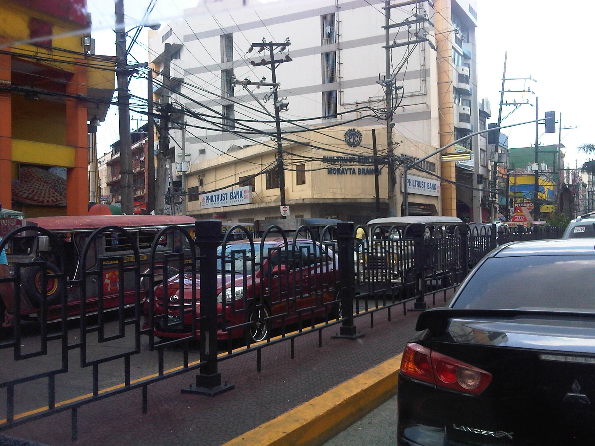 Railings – street railings on the median island along Morayta help minimize jaywalking along the busy street. There are no median openings for vehicles along the street though there are junctions like the one with R. Papa Street shown in the photo.
 Pedestrian traffic signal – there is a traffic signal along Morayta for pedestrians crossing the street in front of the FEU main gate. Such signals may be equipped with a button for on-demand green indications.
 Pedestrian flow – because of the schools, there are many students (generally in uniform) in the area. Each school would usually have a distinct uniform for females though some are generally in white with their school logos or IDs the only distinguishing aspects. Meanwhile, male students usually wear white polos and black pants. The photo above shows students crossing in front of the FEU gate. The photo also shows the typical commercial establishments in the area that include fast food and book shops.
 FEU main gate – the university has several access/egress points along Morayta including those for people only and this gate where vehicles may pass. Many universities (with only few exceptions) in the University Belt have very limited space with some having practically no campuses to speak of but only buildings where they conduct their activities.
 Parking and standing – parked and standing (waiting) vehicles occupy significant road space. While standing vehicles have their drivers and could be made to move, the parked vehicles generally take up a lane that could otherwise be used by pedestrians. I am not aware of any pay parking regulations along Morayta. There are no signs indicating pay parking schedules and rates, and have not seen parking attendants like the ones in Makati.
 Approach to Recto – the intersection with Recto Ave. is signalized and the median island is tapered to accommodate vehicles queuing to turn left towards Mendiola or Legarda. The LRT Line 2 superstructure is also visible in the photo above Recto. Pedestrians walk along the building arcades that are typical of most older buildings in Manila, which are similar to those in other old cities in the Philippines.
 Entry from Recto – the photo shows Morayta as our vehicle turned right from Recto. Taken during an April afternoon, there is very light traffic between Recto and R. Papa, and not so many students as those shown in the previous photos, which were incidentally taken during the morning of the same day. Note the vehicles parked on the curbside.
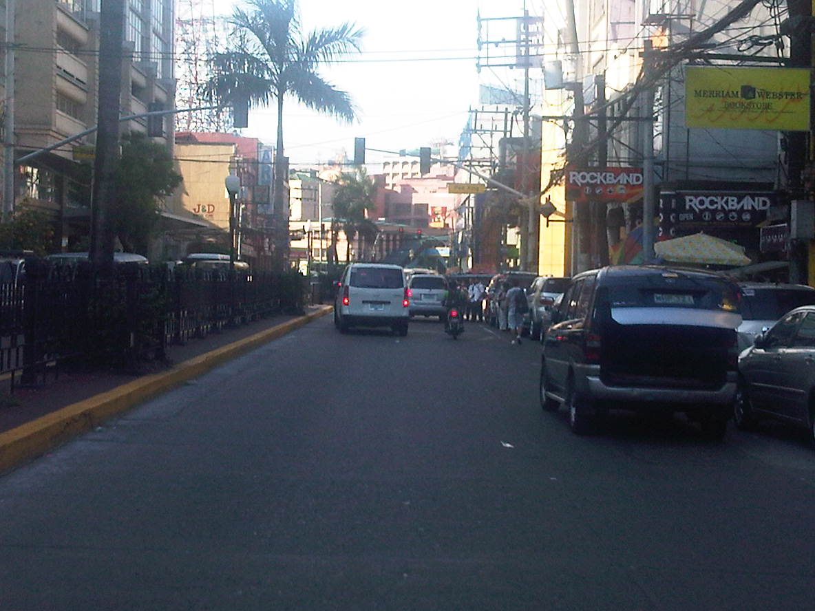 Build-up – approaching the signalized pedestrian crossing, we noticed some congestion due to the stopped vehicles and the presence of pedestrians. The section between R. Papa and Espana is usually congested due to several reasons including the presence of an informal jeepney terminal at the corner of Espana and Morayta.
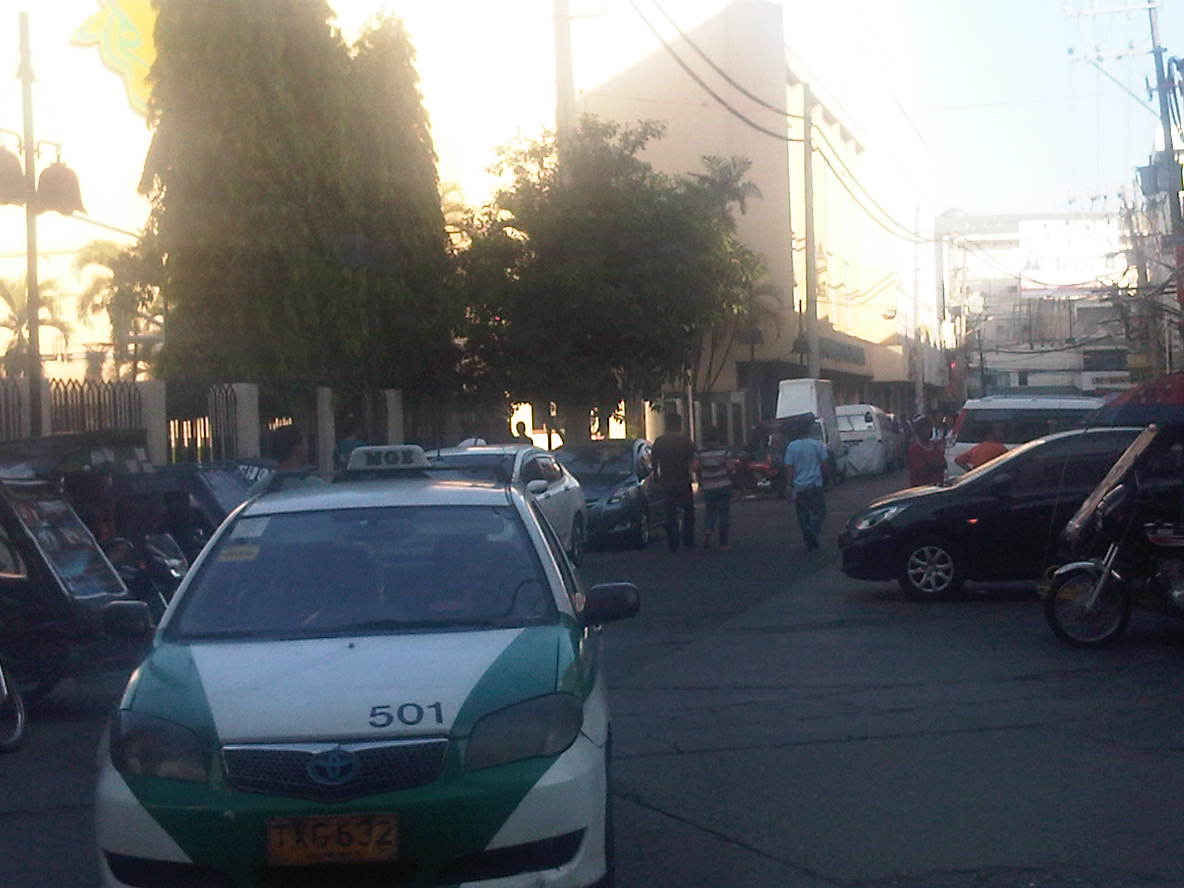 Junction with Paredes – a peek at Paredes St. shows more parked vehicles and tricycles lined up and waiting for passengers. Public transport demand along Manila’s side streets are served by tricycles and pedicabs, and until a few months ago by what were called “kuligligs.” The latter were also paratransit modes that were the motorized versions of pedicabs fitted with motors or generators much like the ones used in farm equipment or motorized bancas in seaside towns. These are called tricyboats in Davao. Meanwhile, the term “kuliglig” is used in many parts of Luzon for farm tractors used as public transport in the rural areas. Paredes St. is quite busy as the Professional Regulations Commission (PRC) is located along the street.
 Informal terminal – the approach to Espana is usually congested in part due to the informal jeepney terminal from the corner of the junction. Some jeepneys even tend to bypass the line and pick-up passengers right at the corner and often blocking turning traffic.
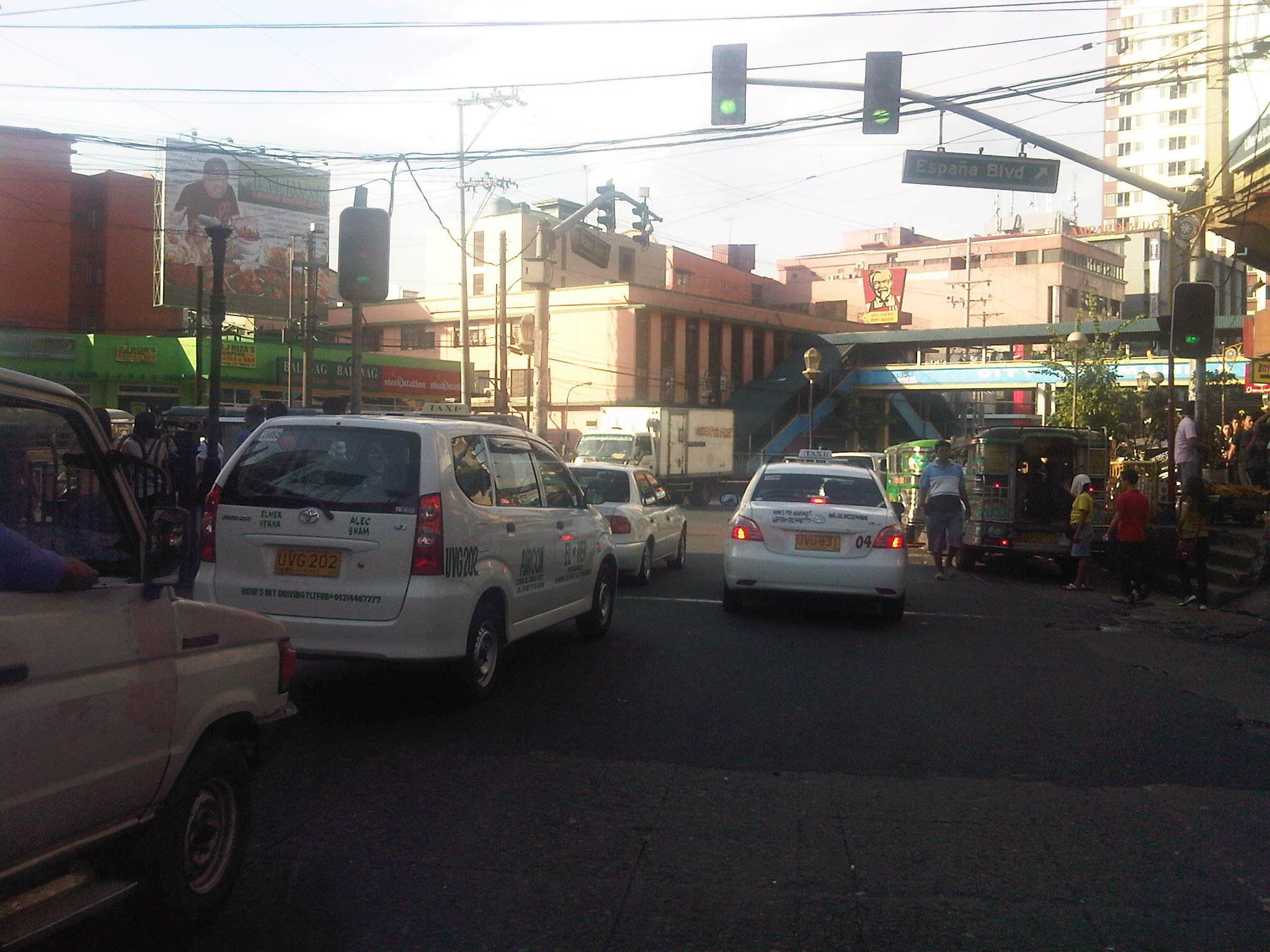 Approach to Espana – the intersection is signalized but there are jeepneys usually camped out at the corner, effectively reducing throughput along the intersection.
There are many streets like Morayta in Manila that can actually be evaluated and considered for pedestrianization if not for road diets. Careful studies and perhaps an experiment here and there should show the feasibility and practicality of generally closing some streets to motor vehicles including tricycles and jeepneys. For some streets, public transport access may be maintained but there should be genuine effort to improve pedestrian facilities to enhance the experience of walking in what are supposed to be historic streets in Manila. Considering the volume of foot traffic in the area, one would assume that the City of Manila should be thinking about how to bring down motor vehicle traffic while providing for public transport and walking needs in the city. Perhaps some radical plans need to be formulated including out of the box ideas to revive Manila streets such as Morayta? I would like to see the schools come up with these plans and perhaps be instrumental in implementing the same and not just for the sake of their students and staff who are exposed to pollution, congestion and safety risks on a daily basis. It can be done if people and institutions will collaborate to make it happen.
–
Why is Commonwealth still unsafe?
After being branded as a “killer highway” and regarded as the most dangerous road in the Philippines, authorities have scrambled every now and again to come up with various schemes to reduce the incidence of road crashes along Commonwealth Avenue in Quezon City. The highway has been designated as a traffic discipline zone, pedestrian overpasses have been constructed, the speed limit has been set at 60 kph, and a lane has been assigned for motorcycles. All this and still Commonwealth has been assessed to be unsafe.

Why is Commonwealth Avenue unsafe after all the initiatives, all the programs and projects implemented along the corridor? There are many reasons both general and specific. However, let us list only four:
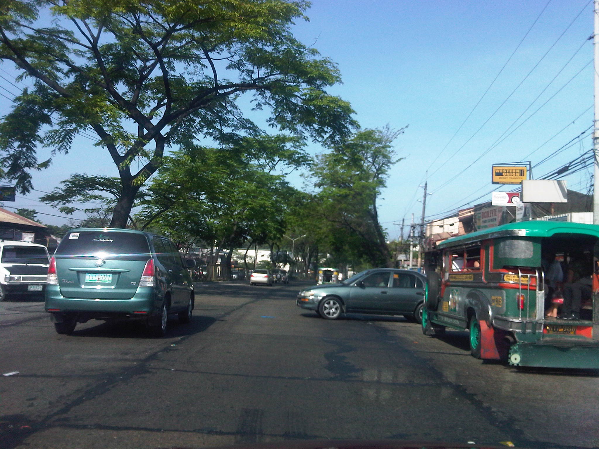
1) Driver behavior – despite all the safety programs, driver behavior (both for private and public transport) has not generally improved. There are still many aggressive and reckless drivers weaving in traffic. PUB and PUJ drivers often exit the lanes designated for them. Private vehicle driver continue to speed above the speed limit, knowing that there is only 1 speed radar deployed along the highway. And drivers continue to use median openings to cross the highway, creating situations with high likelihoods of crashes. Gap acceptance is typically aggressive and driver and riders seem to travel thinking others will just avoid them should there be conflicts along the way.
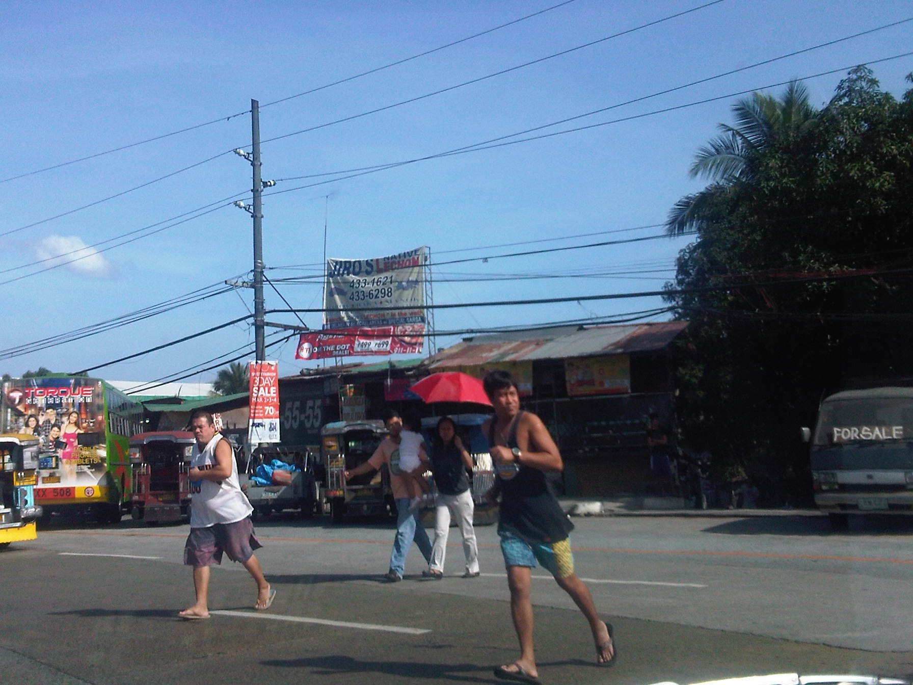
2) Pedestrian behavior – even with overpasses constructed, This is particularly the situation along the section from Fairview Market to Litex where people of all ages continue to cross at various points along the highway, seemingly oblivious to the dangers posed by motor vehicles along the highways many lanes. People seem to be generally unaware or do not care about the risks as shown by the pedestrians below including parents crossing while carrying their child. Jaywalking (or if there is an equivalent running and dodging vehicles) is quite prevalent along Commonwealth despite the construction of several overpasses. One problem, it seems, is the fact that many overpasses are not used because of some design flaws (stairs too steep or have limited capacity) and the propensity for setting up shop right on the overpasses themselves, thereby limiting its capacity for pedestrian traffic.
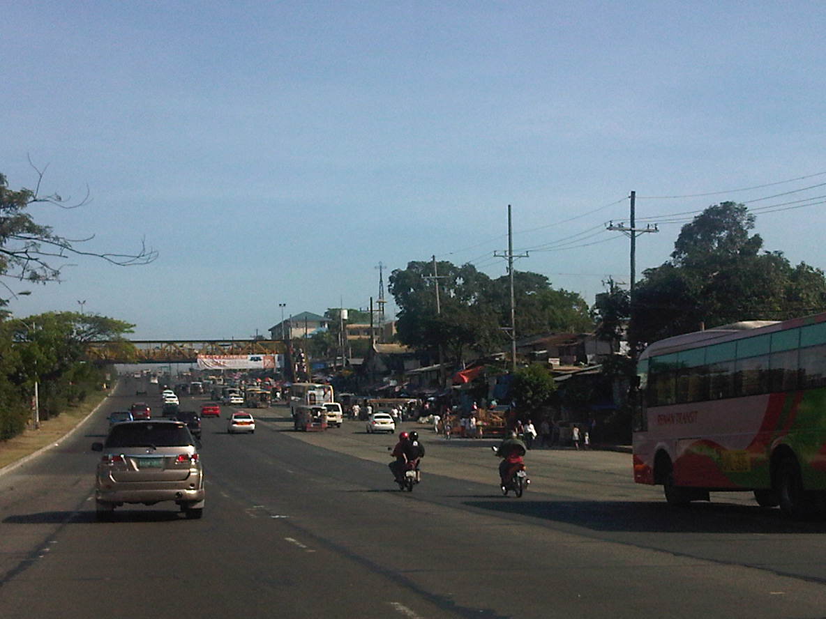
3) Enforcement – let’s be honest and accept the fact that enforcement along Commonwealth is patchy at best. It’s strict only during the initial days of a new program but eventually relaxes. We have a term for this – “ningas cogon.” This applies to both enforcers of the MMDA and Quezon City DPOS and the Philippine National Police. In fact, there are many violations that are taken for granted perhaps for the sheer difficulty of sustaining enforcement efforts. It was mentioned previously that there is still a problem pertaining to pedestrians and such problems that include jaywalking and illegal vendors on overpasses are among those that need constant attention from enforcers. There is also the persistent challenge from public transport that includes racing and the non-usage of lanes designated for them. In the photo below, for example, jeepneys take up the outer lane of the highway, which also happens to be part of the public transport lanes where PUB’s and PUJ’s are supposed to be confined while traveling along Commonwealth.

4) Geometry – the highway is not only too wide but also generally straight and level for long sections. These conditions are perfect for high speed travel and without enforced speed limits will normally tempt a lot of drivers and riders to speed up. This is something that has been well established abroad and can easily be observed along our expressways and national roads where the formula of availability of space (wide roads) plus excellent sight distance combine with aggressive, risk taking driver/rider behavior to result in high vehicle speeds.
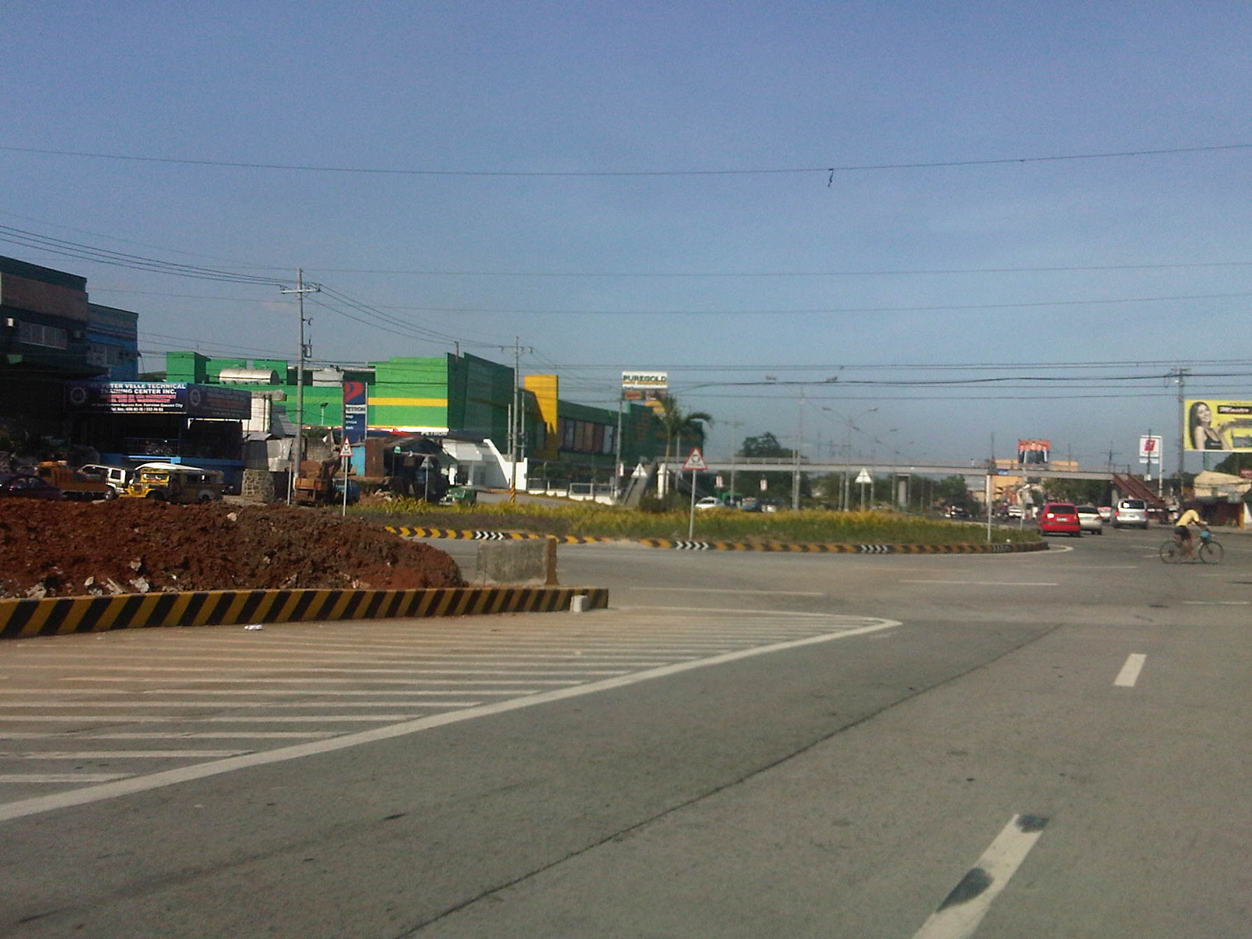
There are also the unusual designs of median openings (U-turns) that were claimed to have taken into consideration vehicle turning radii as well as trajectories along the the highway. Yet, there is the persistent observation that the median islands appear to be “nabubuntis” or getting pregnant based on the bulging island where the U-turn slots are located. U-turns also encourage weaving and aggressive behavior in order to cover the distance and width to a median opening. The non-occurrence of crashes now do not mean they will not occur in the future. These are examples of disasters waiting to happen just like the conditions at the huge roundabout that was constructed along Commonwealth in the Fairview area (photo below) where vehicle movements show motorists generally do not know how to use roundabouts. Thus, you get buses making U-turns and jeepneys and cars doing left turns in this portion of the highway.
Let me emphasize a main point I made in the previous paragraphs: It is not because there are few road crashes occurring (compared with the potential often cited by various parties criticizing the U-turn scheme) that Commonwealth is deemed safe. The fact is that any assessment of the highway will be based on the likelihood of crashes occurring due to the conditions along the road. It is probably by sheer luck that the incidence of fatal accidents is not that high. It is still a case of a disaster just waiting to happen.
There is still much to hope for since the MMDA and others involved continue in their efforts along Commonwealth including the designation of motorcycle lanes and the enforcement of speed limits (despite their limited hardware). These have obviously influenced motorists’ behavior in a positive way along the highway. Behavior change is a very good thing that needs to be reinforced further in order to improve safety along Commonwealth. But constructive and more permanent behavior change with respect to transport and traffic will take time, and efforts need to be consistent, firm and sustained to condition the minds of travelers for this change.
The case for Commonwealth might as well be applied to other roads not just in Metro Manila but throughout the country as well. Much is required in terms of resources and commitment to effect significant changes that will lead to the improvement of transport and traffic conditions. And yet the treatments are often generally varied, each city going about its own ways despite good practices available for adoption or adaptation. Perhaps the lessons from Commonwealth will be applied elsewhere, or perhaps not. Let us just hope that it won’t go the way officials in other cities jokingly say about traffic schemes in Metro Manila – “We observe what they do in Metro Manila and then we don’t do it here.”
–
Another quick look at the EDSA motorcycle lanes
There was a story appearing in the news recently about motorcycle riders staging a motorcade rally to bring attention to their plight in relation to the motorcycle lane along Epifanio Delos Santos Avenue (EDSA) or Circumferential Road 4 (C-4). The Metropolitan Manila Development Authority (MMDA) implemented the scheme along EDSA after getting generally positive results along Commonwealth Avenue in Quezon City and Diosdado Macapagal Boulevard in Pasay City. Perhaps the thinking here was that if such a scheme succeeded in other roads, it would also succeed elsewhere. Right? – Wrong!
EDSA is always so different from may other Metro Manila roads, most definitely from Commonwealth Ave. and Macapagal Blvd. For one, EDSA carries more traffic than these two roads (combined?) and the sheer volume of private vehicles during busy times of the day cannot be handled by the lanes designated for them. The two outermost lanes of EDSA are supposed to be for the exclusive use of buses but private vehicles frequently encroach on these lanes due to the inevitable spillover from congestion. Fortunately, there is a truck ban along the highway (these generally use Circumferential Road 5) but this does not translate to less congestion as the following photos show. Commonwealth is wider than EDSA while carrying less traffic. As such, vehicles can speed up along many sections of that highway. In fact, the main problems along Commonwealth happen to be related to speeding and weaving. Macapagal has even less traffic and generally does not carry public transport. Perhaps it will carry more traffic in the future once the reclamation areas are fully developed.
 Heavy traffic along EDSA at mid-afternoon – many cars encroach upon the two outermost lanes that are supposed to be for buses. The same vehicles practically occupy the lanes designated for motorcycles.
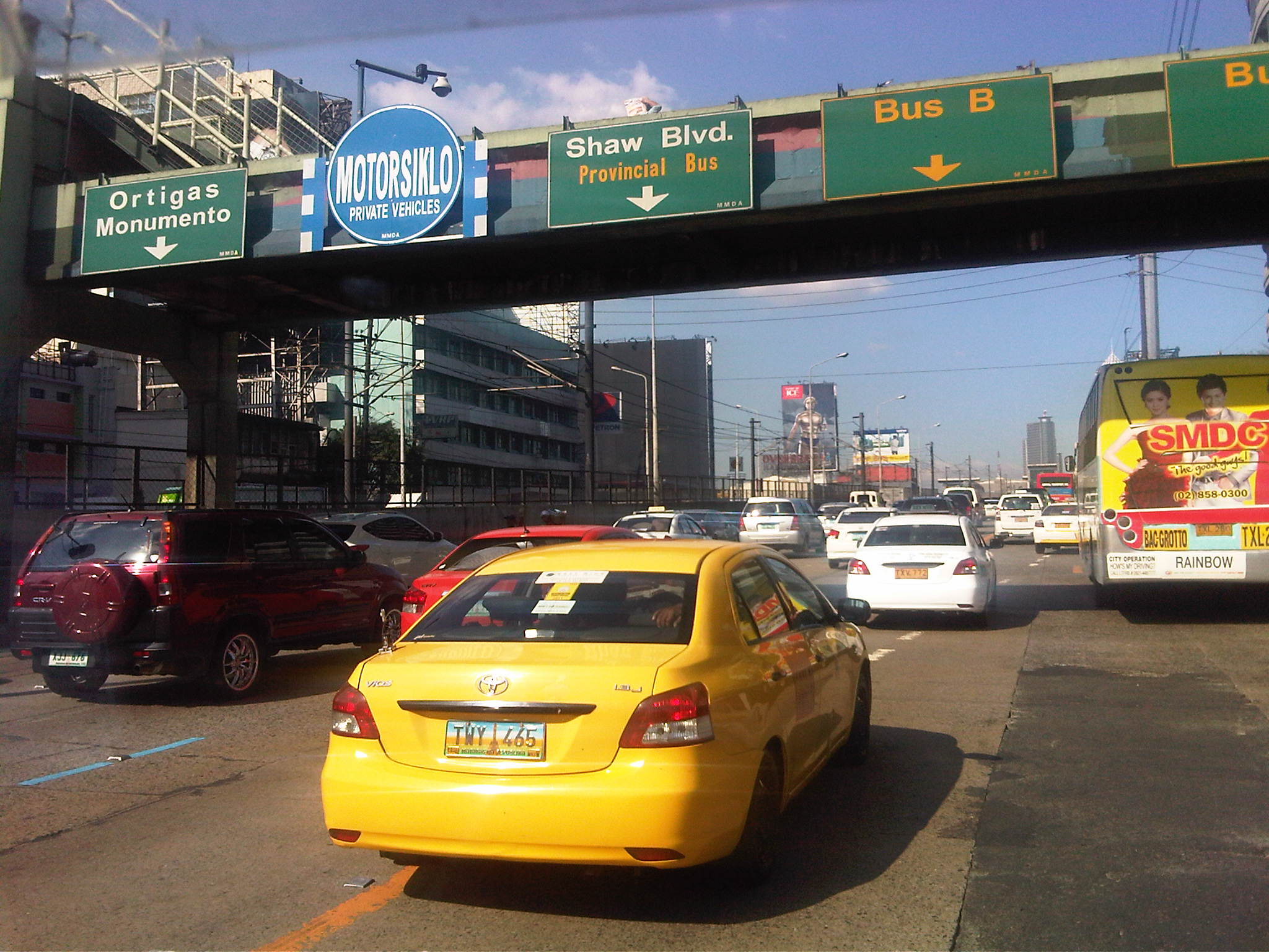 Vehicles occupying the lane designated for use by motorcycle along EDSA – note the “fine print” on the sign on the pedestrian overpass stating the lane is also for use by private vehicles. Riders are lobbying for the lane to be for their exclusive use.
 No motorcycles in sight – there were few motorcycles along EDSA at the time the photos appearing here were taken. Their numbers are more significant during the morning and afternoon peak periods.
 The motorcycle lane proceeds through EDSA along its underpasses and overpasses – EDSA’s capacity during peak periods is not enough for cars and so they usually spill over to the bus lanes. It’s also status quo for them in as far as using the motorcycle lane is concerned, unlike in the case of Commonwealth Ave. where the wider carriageway allows for private vehicles to avoid taking the motorcycle lane.
The initial assessment we made for the motorcycle lanes along EDSA was positive and hopeful for the behavior change that it is supposed to bring about both with drivers and riders. I believe that despite the dry run and the aggressive enforcement that followed, the scheme as applied along EDSA is still very much in the “honeymoon” stage and there’s room for some adjustments here and there including some flexibility on motorcycle riders who are often forced out of the designated lane by cars. It is clear from the photos above that private cars really cannot be given too much freedom to use the motorcycle lane. Perhaps by prohibiting cars from generally using the motorcycle lane, we’ll eventually have a safer EDSA. This comes at a steep price, however, as that will be one less lane for private cars. But then again, if the objective is to discourage car use (especially the low occupancy kind) then it should be good but with the caveat that public transport services along EDSA, including the MRT running along the center of the highway, should have improved quality of service.
–
Motorcycle lanes along EDSA?
The MMDA is implementing a one-week dry run of its motorcycle lane scheme along EDSA starting today, February 14. The scheme is the same as that implemented along Commonwealth Avenue where motorcycles are assigned to use only one lane of a road – in the case of EDSA the 4th lane from the curbside. To guide riders and drivers of other motor vehicles, the MMDA used alternating white and line blue pavement markings for the motorcycle lane similar to what was done along Commonwealth.
Following are photos taken last week along EDSA and a few observations on the traffic conditions with respect to the motorcycle lane scheme.
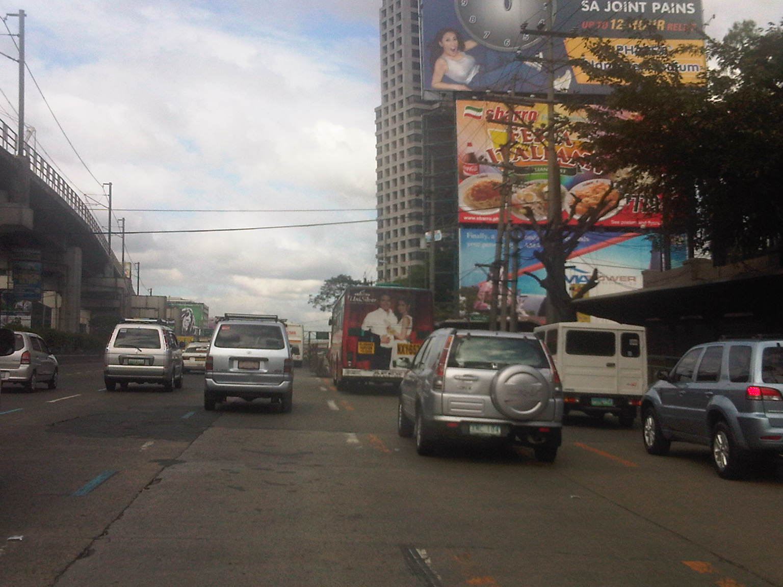 Light blue lane markings can be seen designating the 4th lane from the curbside for motorcycles. The yellow markings are for the two outermost lanes that are designated as bus lanes. While bus lanes are supposed to be for the exclusive use of buses, many private vehicles use the lanes throughout the day and are not apprehended by traffic enforcers for this encroachment.
 Sign for the motorcycle lane already installed along EDSA before the MRT Santolan Station as of February 9 – this photo was taken around 3 PM (not yet the afternoon peak period).
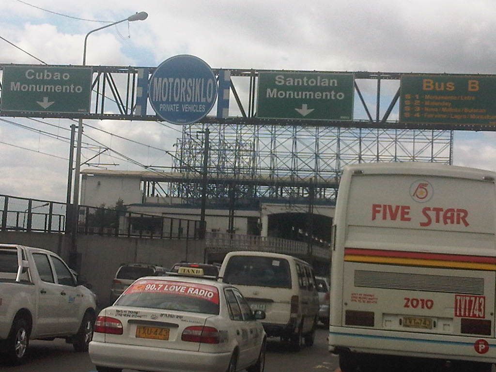 Close-up of sign for the motorcycle lane but with “fine print” indicating that the same lane may be used by private vehicles – herein lies the problem as private vehicles are sure to mix it up with motorcycles, with the high likelihood that riders will revert to lane splitting or using other lanes. This will be an enforcement nightmare.
 Motorcycle lane sign installed on pedestrian overpass between Aurora Blvd. and Kamias. Notice the provincial bus encroaching upon the adjacent lane designated for private vehicles.
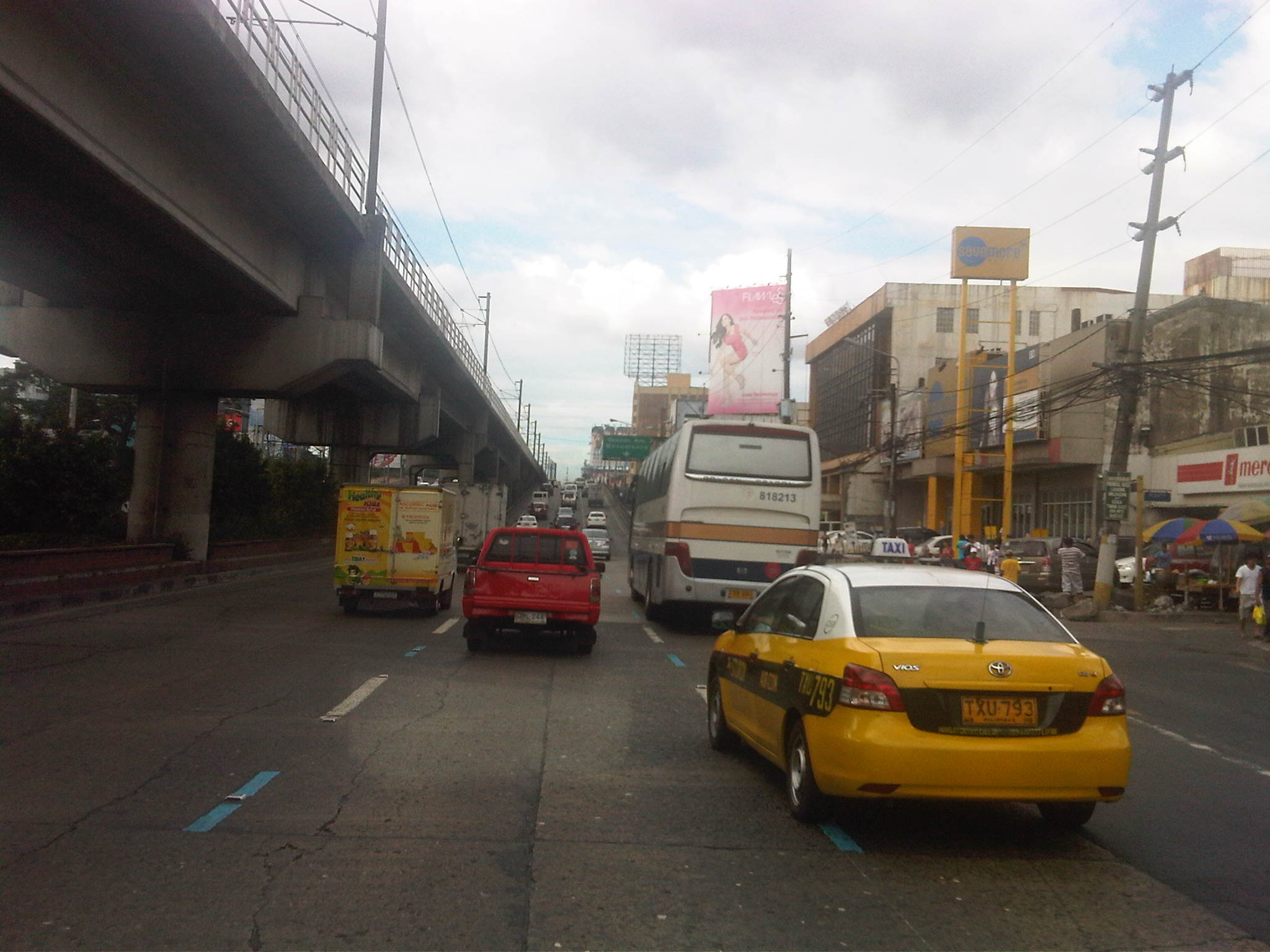 Motorcycle lane prior to the Kamias-East Avenue overpass along EDSA.
 The middle lane is designated as the motorcycle lane along the overpass
 Motorcycle lane along EDSA beneath the EDSA-MRT GMA Station
 Bus and motorcycle lanes along EDSA past the the MRT GMA Station. Traffic is typically light along this stretch as many vehicles turn towards East Avenue or Timog Avenue.
 Typical light traffic between East Ave. and Quezon Ave. along EDSA northbound
 Motorcycle lane ascends the flyover crossing the junction with Quezon Avenue – the lane is again the middle of three lanes. That’s the EDSA-MRT Quezon Avenue station on the left and downstream in the photo and the Centris mall on the right.
If the implementation of the motorcycle lane scheme along Commonwealth is to be the basis for assessing the likelihood for success along EDSA, I believe that we can be expect significant behavioral changes along EDSA. For one, motorcycle riders along Commonwealth have been generally diligent in following the scheme. This can also be expected for most riders using EDSA should the MMDA be strict, firm and fair with their enforcement duties. Meanwhile, drivers of private vehicles have been becoming more aware and respectful of motorcyclists rights of way along Commonwealth and we are hopeful that such will eventually be the case along EDSA, although both enforcement and management will be much more challenging due to the sheer volume of vehicles involved and the more restricted space for traffic flow. It is to be expected that there will be many stubborn private vehicle drivers who even without the motorcycle lane are already encroaching on the bus lanes. Even more challenging will be the behavioral change required of buses given their propensity for reckless driving. I wanted to emphasize behavioral change here because I strongly believe that this is a critical factor for the improvement of traffic and transport in Metro Manila where many issues have roots on driver, rider and pedestrian behavior.
–
School traffic generation – Part 2
It’s been quite sometime since I wrote Part 1 on school traffic generation. I had been unable to get a few photos to describe congestion in another area where school trip generation frequently causes severe traffic congestion. This is along Ortigas Avenue in the Greenhills where another private school generates so many vehicle trips that it is able to clog both sides of the road almost every weekday of the school year. This is the case of La Salle Greenhills (LSGH), which, like Ateneo along Katipunan causes so much negative externalities with respect to traffic along a major thoroughfare.
The problem with La Salle Greenhills is more severe considering it has very limited space in its campus to be able to accommodate parking, unlike Ateneo, which has a sprawling campus (sadly, its being occupied by more cars these days). The result has been cars occupying the curbside lanes along either side of Ortigas Avenue and cars parked on the sidewalks (I have to get photos of these.). This has caused a lot of congestion during the weekdays and has so far been unaddressed by local authorities who seem to be helpless despite the fact that they only need to enforce general traffic rules to rid the streets of parked and standing vehicles. The solution is quite simple but very difficult to implement considering authorities will be up against LSGH. But then, the majority here are not LSGH constituents but the general public who are inconvenienced on a regular basis.
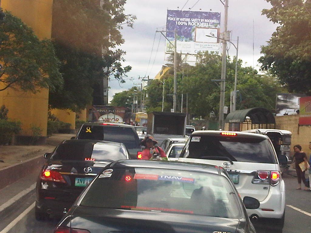 It took us some time to cover less than 400 meters from the EDSA-Ortigas intersection to the median opening to turn left into the DOTC driveway on the other side of Ortigas Ave.
 At this point, the three lanes from the intersection narrows to 2 lanes, necessitating some jostling for position among the vehicles.
 There are 3 median openings (one after the other) under the San Juan-bound overpass from EDSA-Ortigas. One slot is a U-turn slot for vehicles returning to EDSA-Ortigas, while the second is for vehicles turning back to LSGH or the Greenhills shopping district. Another opening is right after the second slot and is for vehicle turning left towards the DOTC main office.
Yes, that’s right – the DOTC main office is located in the area and LTO officers are regularly in the area due to meetings of their officials. It’s a wonder how these seem to be blind to the congestion on the ground. Perhaps the current Secretary should look into this as a test of his commitment to solving transport problems?
–
Weekday EDSA
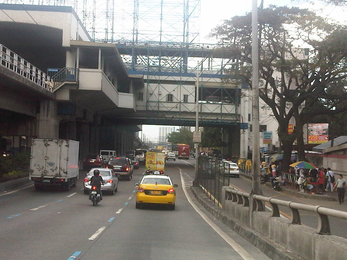
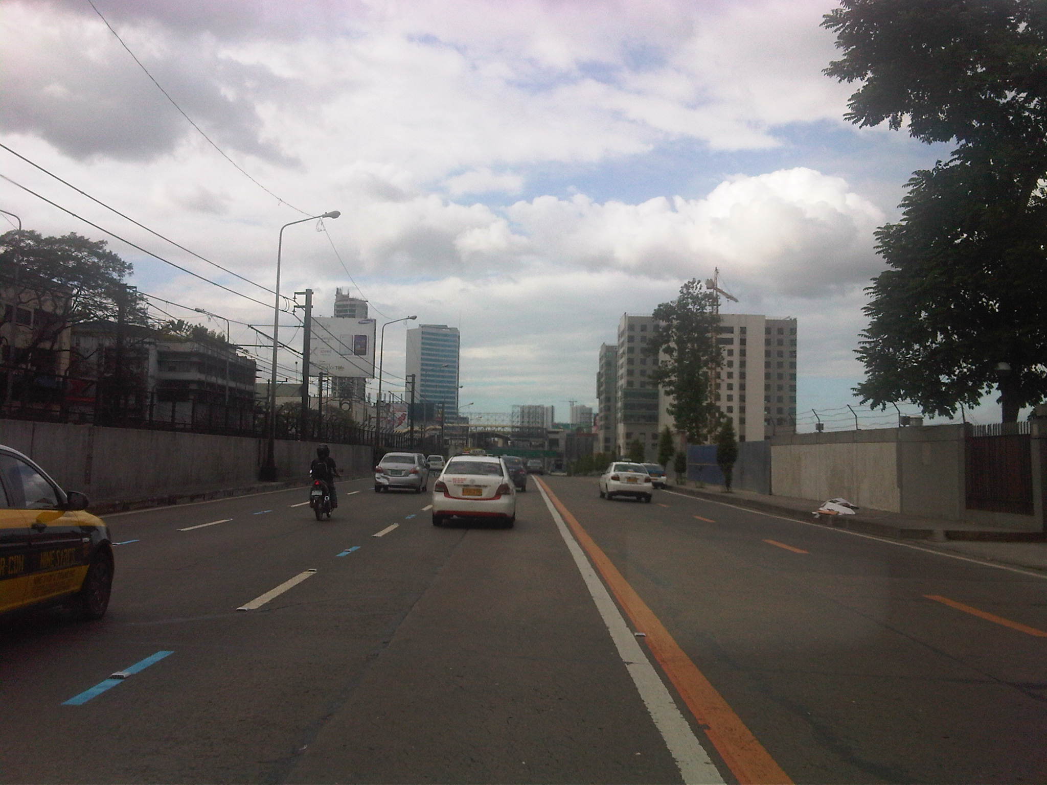
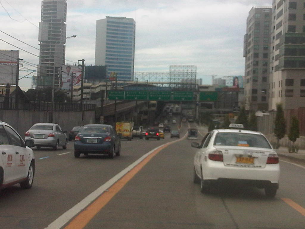
I chanced upon an uncongested EDSA one day during noontime along the northbound direction. I was traveling from the airport and saw that my usual route along C5 was very congested. I decided to take EDSA instead considering it was noontime and there would probably be less vehicles along the highway during that time of day. I was right and the following photos speak for themselves in as far as describing traffic between 12:00 NN and 1:00 PM.
 Section past Orense Street and the MMDA headquarters
 Section approaching Guadalupe
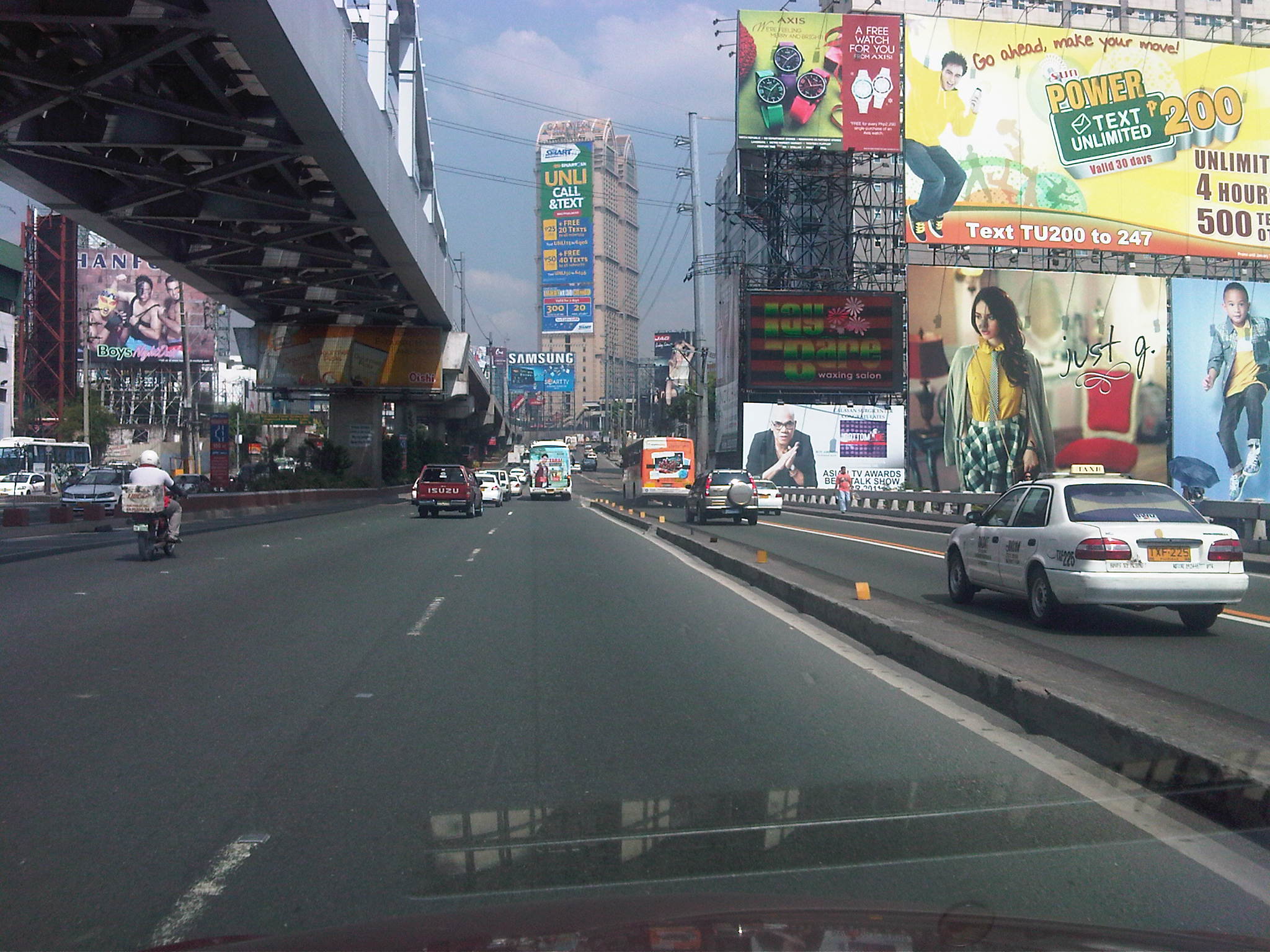 Guadalupe Bridge, crossing the Pasig River, the MRT 3 runs along the steel bridge above
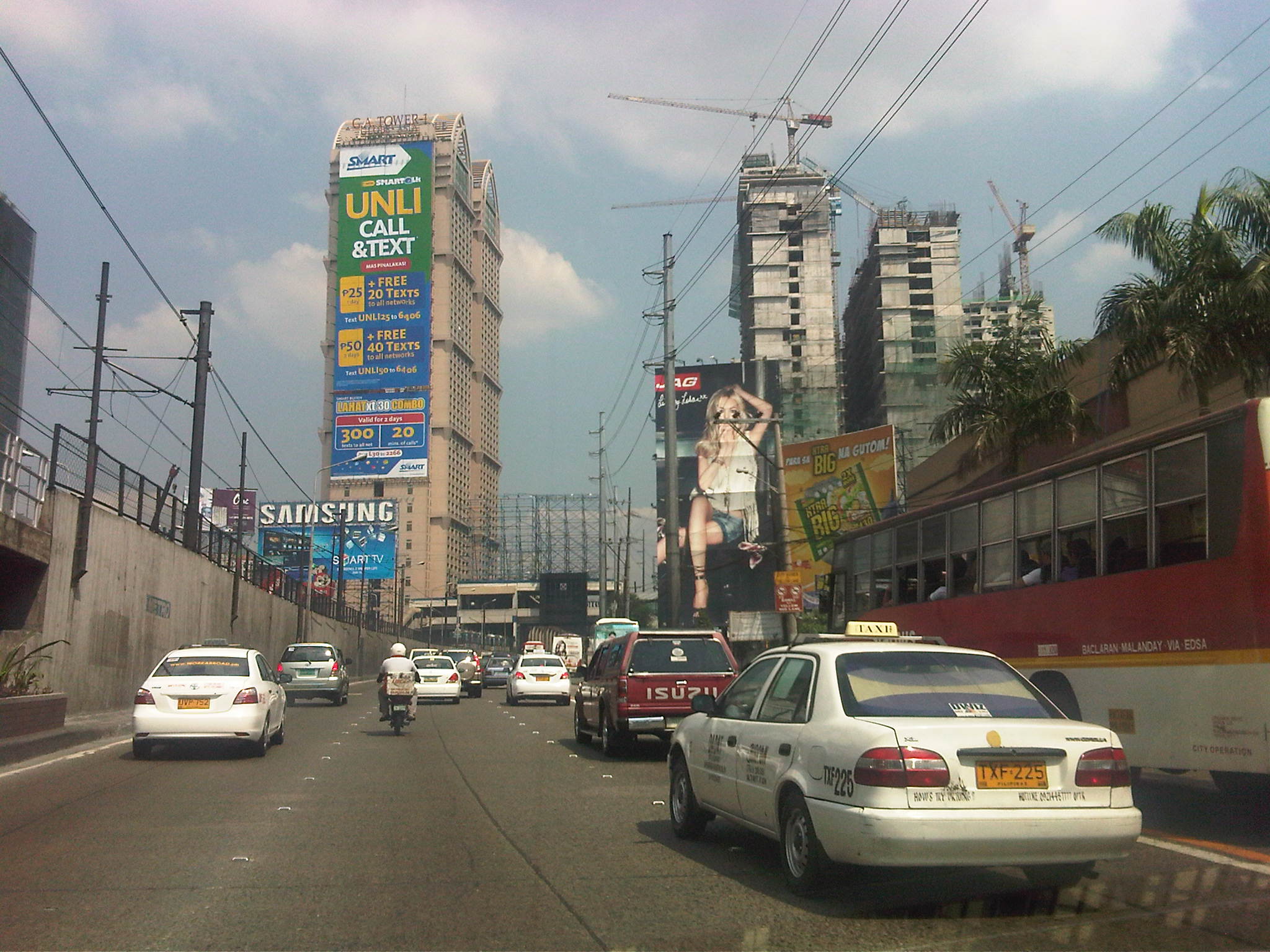 Approaching A. Bonifacio/Renaissance, in the background is the G.A. Tower, the Boni MRT Station and condos under construction including SMDC’s Jazz
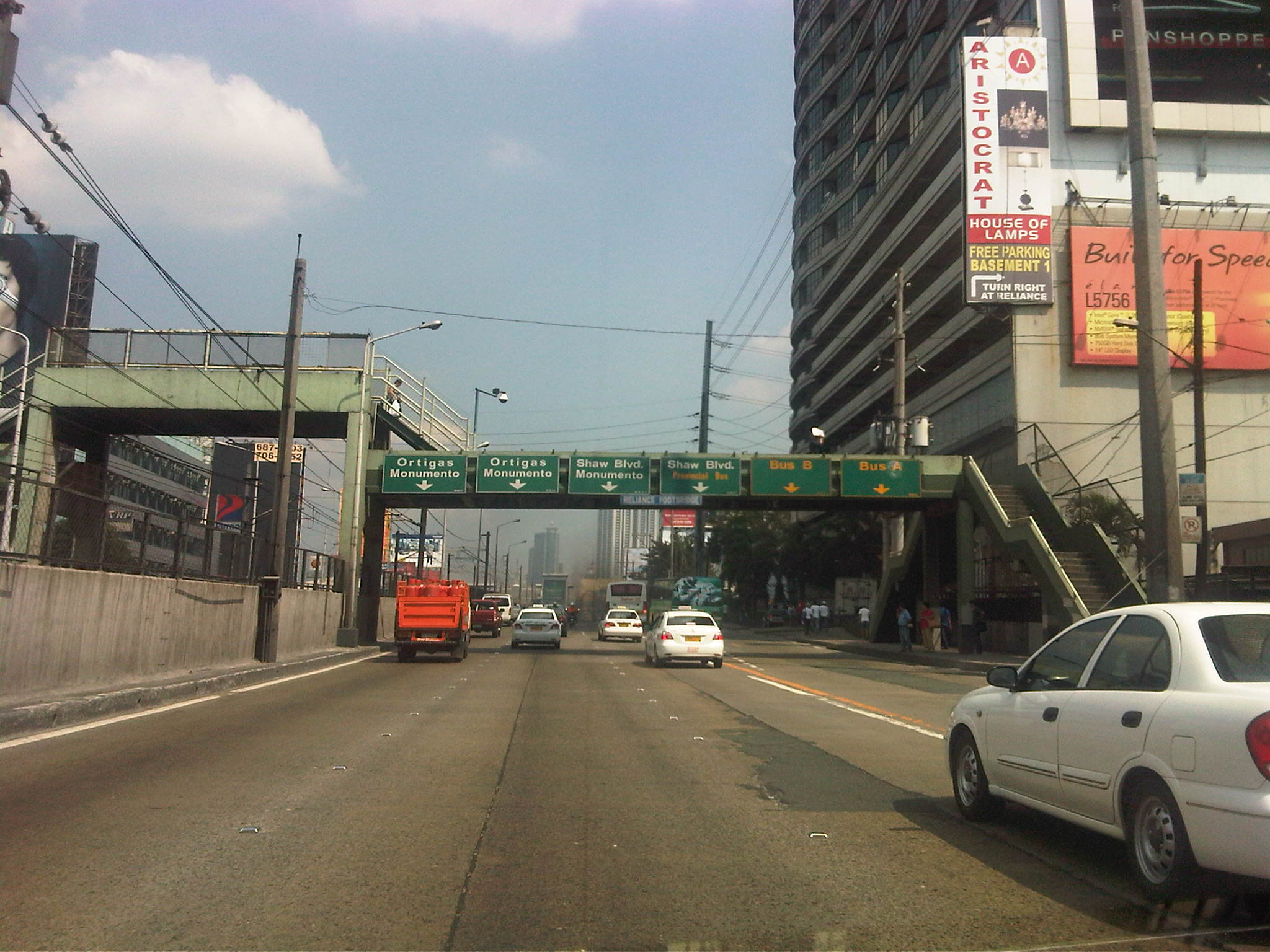 Section across the Renaissance Tower where many FM radio stations are based
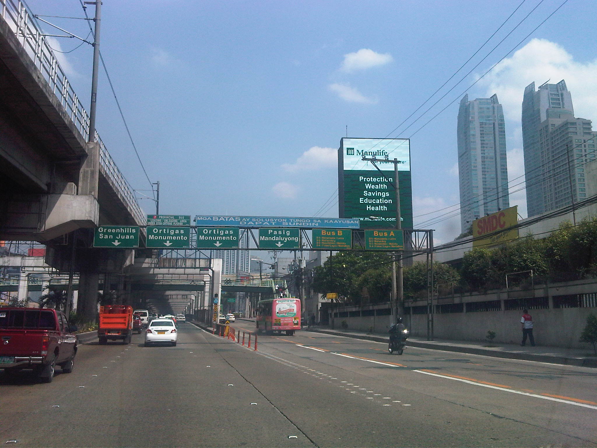 Section past Robinsons Cybergate Mall
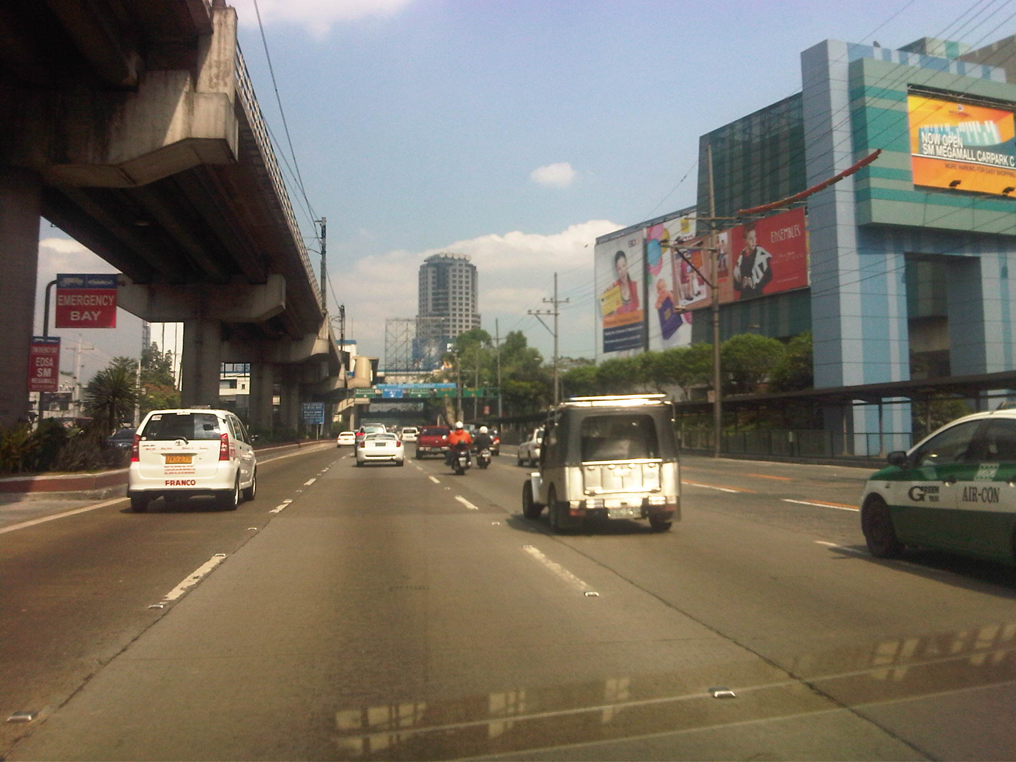 Section across the SM Megamall and approaching the ADB
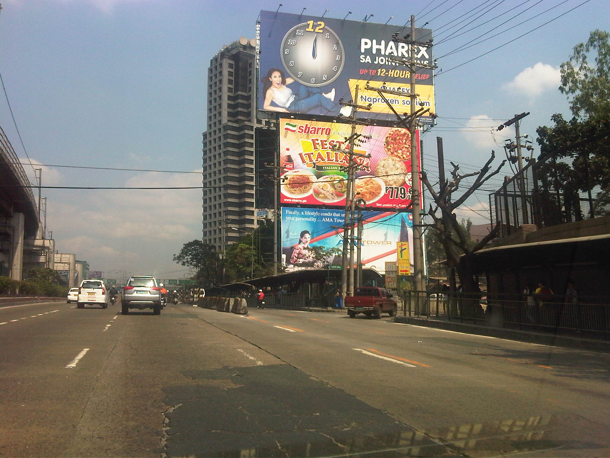 Section across the ADB and approaching Ortigas Ave. One of Galleria’s buildings is seen behind the giant billboards. The MRT
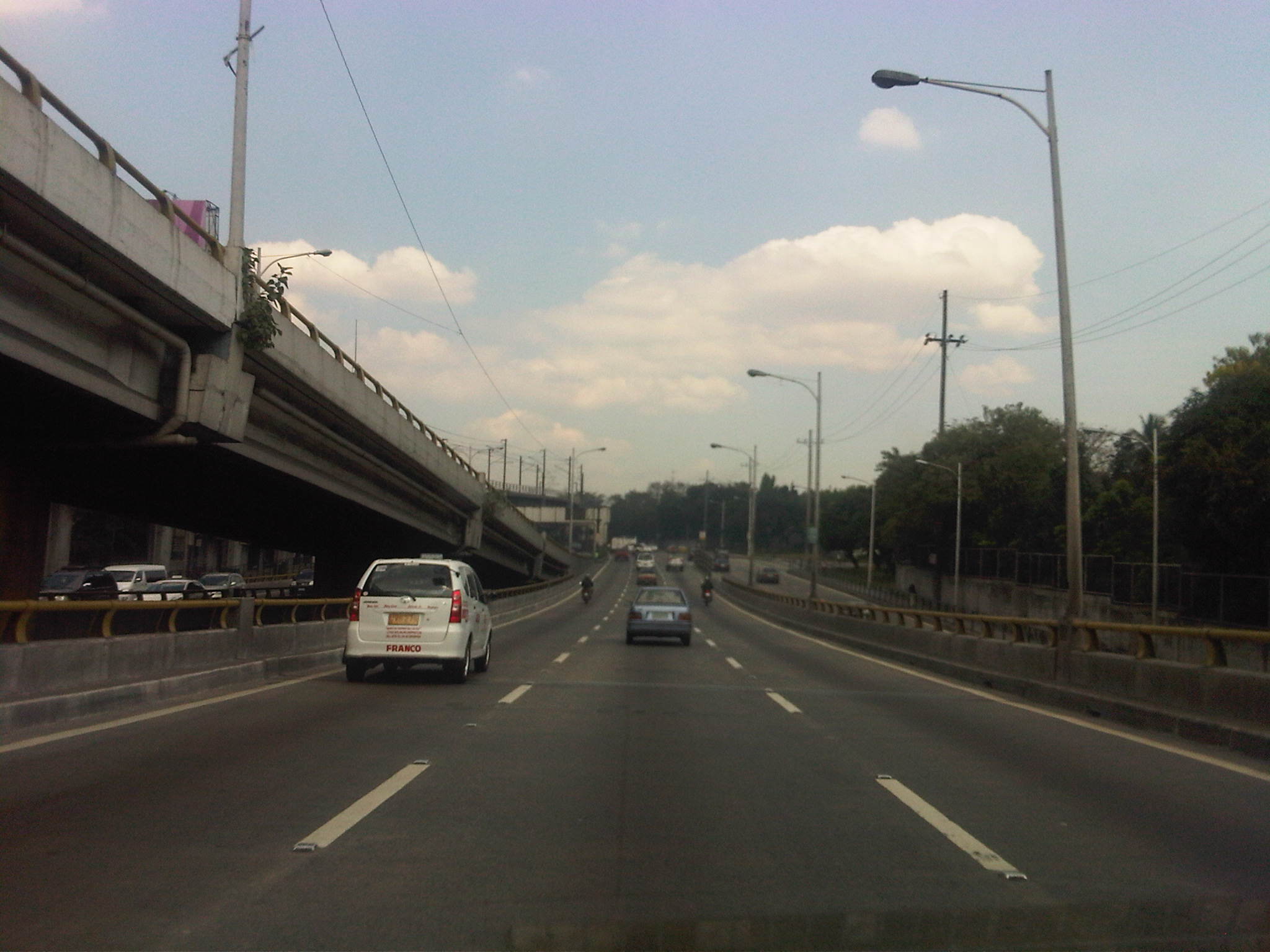 Section descending the Ortigas Flyover and across from Corinthian Gardens
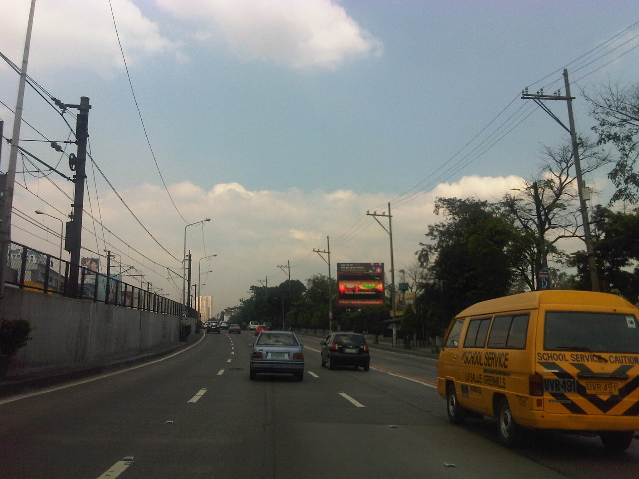 Section across Camp Aguinaldo (between the Aguinaldo and Crame) and approaching the Camp’s EDSA gate
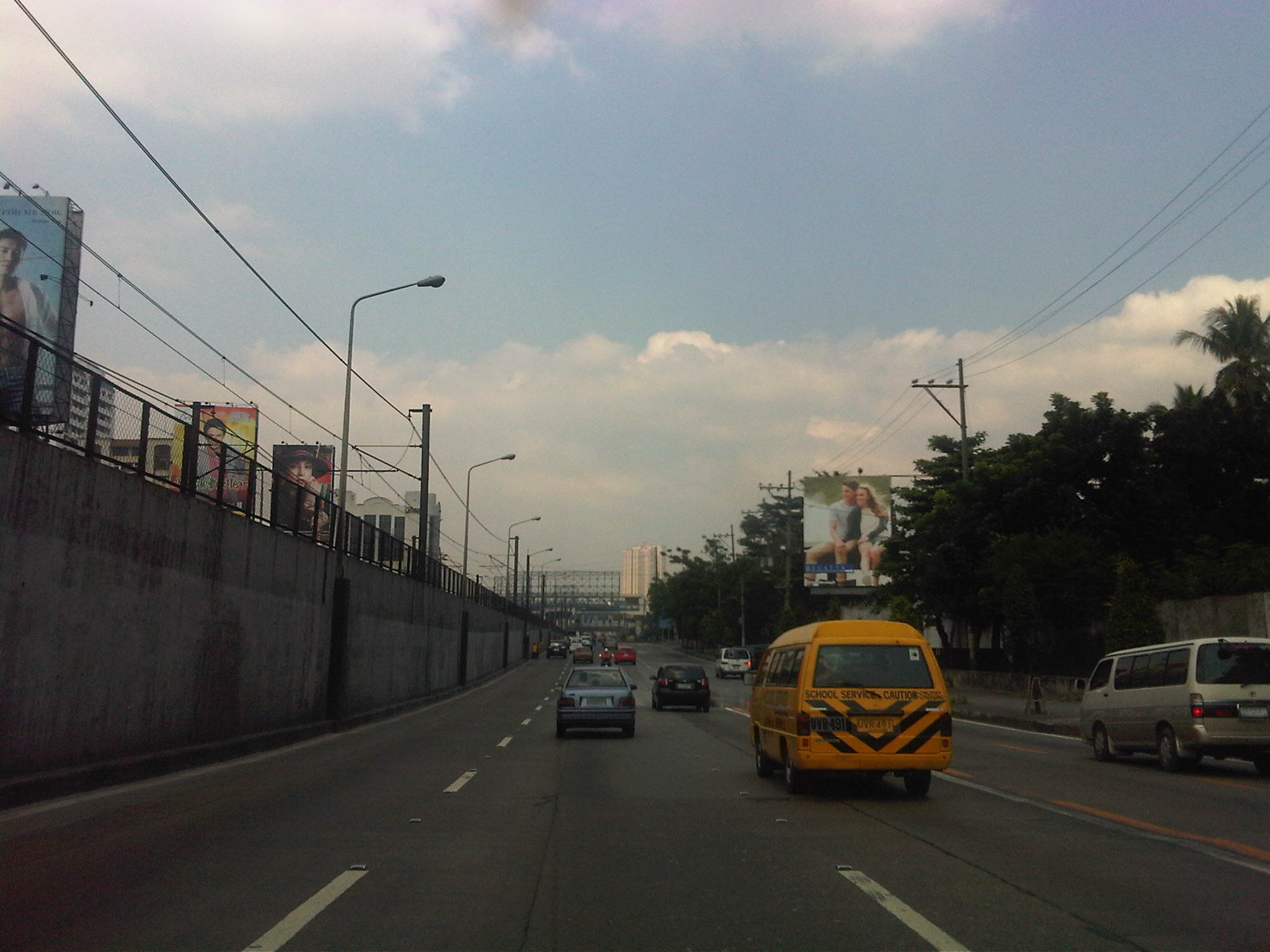 Section approaching Boni Serrano Avenue
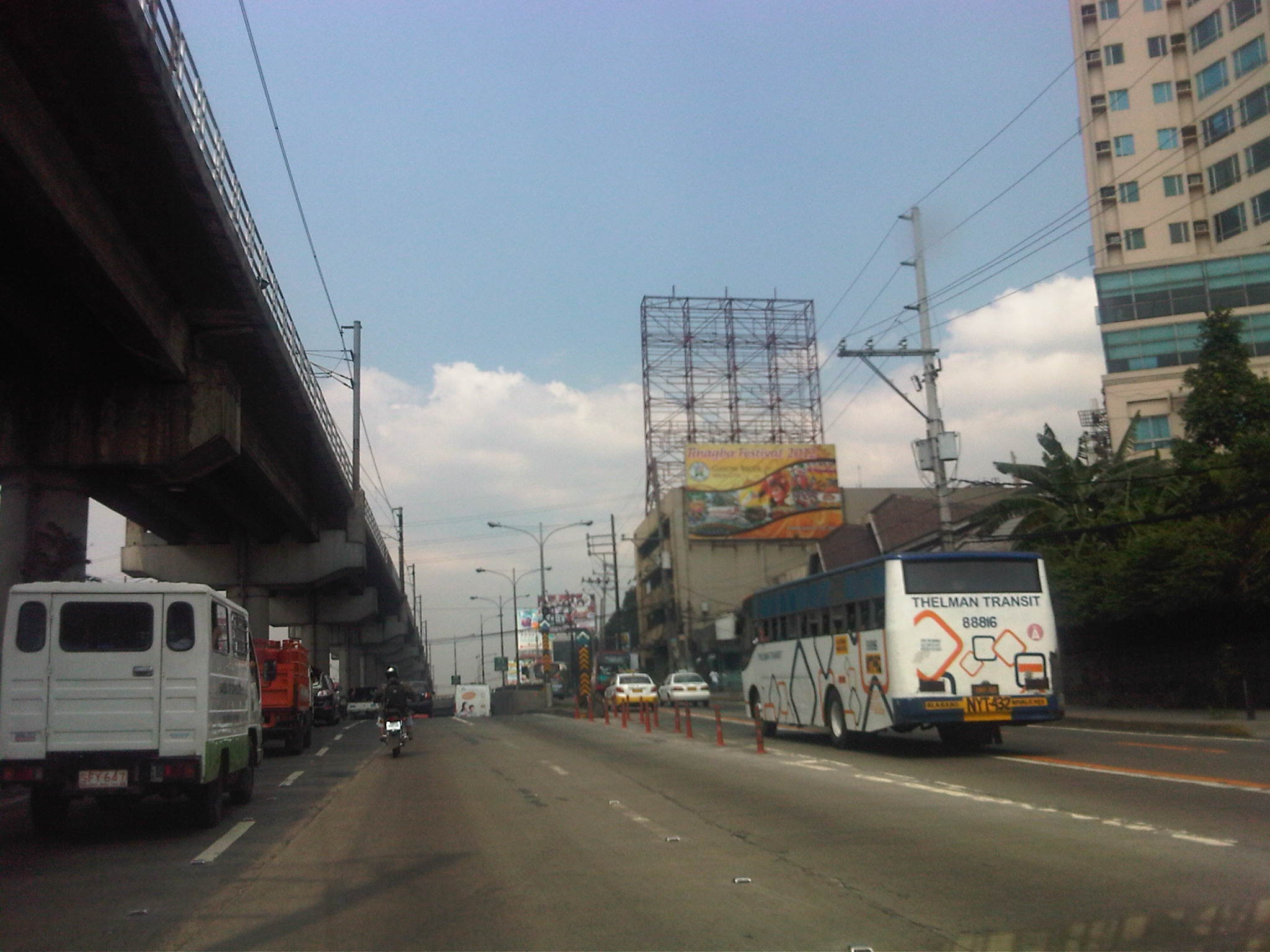 Section approaching the EDSA underpass crossing P. Tuazon and approaching the Cubao commercial center
 Section past the Cubao commercial center and across from several provincial bus terminals lined up along EDSA northbound
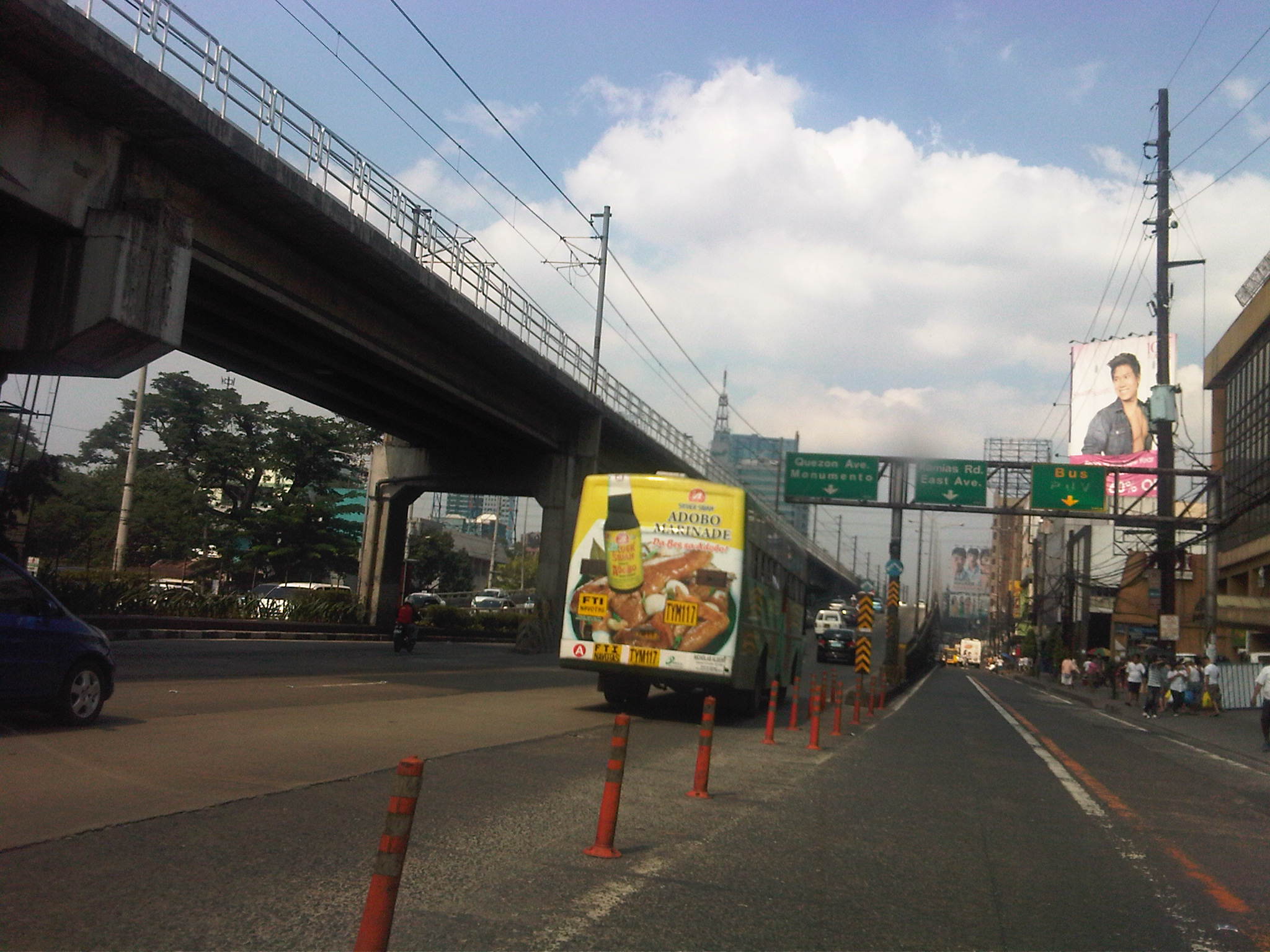 Section approaching Kamias – taking the flyover means I won’t be able to turn towards East Avenue so we shifted towards the outer lanes
Now, if only EDSA and the other main arteries of Metro Manila could be like this more frequently…
–
Pedestrianizing Session Road
When visiting Baguio City, one should never fail to go to Session Road whether to have a meal or just to take walk along the street. It is perhaps the city’s most famous street and a landmark itself where it used to be that a lot about Baguio is going about along Session Road. Here you will find shops, restaurants, bars and other establishments. Since my first time to go to Baguio in 1995, I have seen the city become more crowded and Session Road become more congested. There have been proposals for the street to be pedestrianized but I am unaware of any detailed study concerning pedestrianization and its implications on traffic and commerce in the area. This, I think, should now be among the things Baguio City should look into with more urgency and perhaps a study can be initiated among the universities there, together with the local chapters of planning, architecture and civil engineering societies.
The following article is from the Business Mirror entitled Road Revolution, which appeared in the newspaper’s February 4, 2012 issue:
BAGUIO CITY—Architect Joseph Alabanza keeps a long-held dream: to see Session Road pedestrianized.
As early as 1972, when Alabanza, former head of National Economic and Development Authoriy-Cordillera Administrative Region (Neda-CAR) was head of the city planning office, policies then had pointed out strongly that something had to be done about Session Road as it was predicted to soon become polluted and congested, and lose it aesthetic heritage, being at the heart of the city’s central business district.
A scene that is exactly what Session Road has become.
Then there were not too many cars and the population was much lower than the almost 400,000 mark today, and there was a lack of urgency to control the traffic situation in the city.
In more recent years, as lecturer and consultant of the architecture department of the St. Louis University, his class drafted, as their theses, a layout plan for the streets of the city. The central blueprint was that of Session Road pedestrianized.
Some consultations were made, but this was strongly opposed by business establishments around.
The yearly “Session Road in Bloom,” a market event for Panagbenga (meaning a season of blooming in the Igorot Kankanaey dialect) on Session Road, which stayed closed for a week, was used as a vehicle to test the plan. But it proved to be too hectic and the pedestrian is too heavy to be desirable for a longer period of time.
Even if it seemed that Alabanza’s dream was far from becoming a reality, the glimmer of hope remains as he continuously lamented the continuing deterioration of Session Road—the heavy pollution, the unkempt façades, the heavy traffic, crimes, the insane cat-and-dog chase of the police with sidewalk vendors. Life in the heart of the city was in shambles, but business thrived as usual.
Road Revo
THEN a group of environmental advocates heard of this dream. Something that was a success in Cebu. They came to tell the people of Baguio about their winning game plan in a forum on January 27.
It is called Road Revo—a revolution to change the way people think about the way they transport themselves.
Road Revo is a concept developed by lawyer and environmental activist, Antonio Oposa, a 2009 Ramon Magsaysay awardee in environment.
“We cannot have a Hollywood kind of transportation system, one of individual and expensive mobility. They have eight-lane highways and their roads are like moving parking lots,” he said.
Our insistence at individual mobility has resulted in serious collective mobility, he said.
“Kanya-kanyang galaw kaya lahat di makagalaw [Everybody wants his own way to move that’s why all could not move],” he said, referring to the traffic congestion that has also resulted in serious air and noise pollution.
The road is supposed to be for everyone, that is why Road Revo is for making road use fair. This would mean a turn-around in priorities.
“There’s a need to change mindsets. Road use and policies must have a bias for people, not for cars,” he said.
A World Bank study shows that only 300 out of a thousand own a car in the country. Oposa pointed out that only 3 percent own cars, and they occupy 97 percent of the road, while showing an image of a street jammed with cars in chaos, while people walked on narrow sidewalks.
He said Executive Order 774 specifically cites the new paradigm that the movement of men and cars must follow the principle that “those who have less in wheels must have more in roads,” and that the system must favor nonmotorized transportation and collective transportation.
EO 774 also ordered the Department of Transportation and Communications and the Department of Public Works and Highways to follow the same principle in transforming the road system.
Oposa said that ideally a good public transport system provides 30 percent for all-weather walkways, 30 percent for bicycle lanes, and 30 percent for a greenbelt and what remains would be for cars.
EO 774 also directs all public open spaces along sidewalks and roads no longer needed to be devoted to urban agriculture, something that has been done in Cebu.
“If we could do it in Cebu, so can you,” Oposa said.
Alabanza said that the city has lost its sense of space, referring to walking and open spaces.
“People used to have a sense of belonging here. Now we feel like strangers in our own place,” he said.
Session Road closed: Music, dining on road, sidewalks
AS an experiment, one side of Session Road was closed from 3 p.m. to midnight the day Oposa and his group of environmental activists were in the city on January 27.
And it did happen. Families dined on tables set on the road and sidewalks. Young people were seen just hanging out with one another. Lovers strolled leisurely. Musicians and poets drew a crowd as they beat on their percussions and read poems. Passersby even stopped to do a few dance steps.
For those few hours, the spirit of community was palpable, one of the aims for pedestrianizing Session Road.
Alabanza said that minimizing pollution was one of the first objectives of the proposed road closure as Session Road has become but a passageway for cars and people between the market and the SM Mall on opposite ends. The safety of pedestrians is also compromised as the sidewalks have become too narrow for the crowd who had to walk on parts of the road.
Oposa showed some examples of the ingenious Filipinos’ inventions of environment-friendly modes of transportation. There is the blueprint for a rail bus. There is already a carousel where people pedal to make it run. There is the idea of giving discounts to volunteers who pedal trolleys on train rails. A prototype for a wind-powered bamboo train is on the works, which can run both with an electric motor or the option for pedaling.
“We are a unique place and we cannot but just copy the transportation systems and models of other places,” Alabanza said. The transportation crisis can give rise to opportunities, something that will serve the city well, he said.
Change attitudes
OPOSA pointed out that the world is now experiencing so much disasters because of climate change and it becomes everybody’s responsibility to change attitudes about transportation systems, as this is the sector that emits one of the highest volume of carbon dioxide to the atmosphere.
He reminded that people need to think out of the box and to get out from the inertia of collective insanity, of doing the same thing because everybody else is doing it, no matter how senseless it has become. To illustrate, he said that the bicycle runs on fat and saves you money, while the car runs on money and makes you fat. But all the cars suffering the cost of insurance, stress and productivity lost to traffic jams, loss of a healthier lifestyle indicate that habits are hard to break.
Road Revo will help decrease man’s dependence on oil, restore sense of community, reduce criminality as this allows visibility of one another and, most of all, give people a sense of belonging and owning the space which is a secret tip to keeping it clean.
Oposa is on a nationwide campaign to promote Road Revo. Pasig City opened a road for a day on July 8 last year and Ongpin Street in Binondo became a festival road for the Chinese New Year celebration. After Baguio, Oposa will do the rounds in Subic, Dumaguete, Marikina, Davao and Puerto Princesa.
Alabanza’s dream may not even happen in his lifetime, but the wisdom of keeping the air clean, of enlivening the spirit of community and giving importance to people rather than cars has been sown in the few hours of not closing Session Road but opening it for people.
Perhaps pedestrianization will be more beneficial to the stakeholders of Session Road. It would not be an easy task to convince people that a car-free session road will be the way to go. There probably would also be other options, even a middle ground between status quo and pedestrianization. But doing nothing and letting Session deteriorate further is surely unacceptable to most people.
–
Single ticketing at last?
Among the big news on transport and traffic in Metro Manila this weekend is the resolution by the Metro Manila Council (MMC) to adopt a single ticketing system for traffic violations in Metro Manila. It took some time for this to be realized and such a system should be favorable to motorists and LGUs alike. The biggest issue in the past was how to divide the revenues derived from the penalties imposed on erring motorists (though some quarters will deny this). Many MM LGUs balked at the original proposal of the MMDA that the agency should get the bulk of the revenues. The MMDA explained that their enforcers were and are deployed along most roads and manage traffic in most of Metro Manila. Perhaps they were right in proposing for a substantial cut of the total revenues as many LGUs were dependent on the MMDA for traffic management.
Following is the news article from the Philippine Star:
MANILA, Philippines – Metro Manila mayors have approved the resolution for the adoption of a uniform or single ticketing system for traffic violations in the metropolis.
Metropolitan Manila Development Authority (MMDA) chairman Francis Tolentino said the resolution was approved after a dialogue between Metro Manila mayors and Interior and Local Government Secretary Jesse Robredo at the Pasay City Hall last Thursday.
Representatives of transport groups – the Federation of Jeepney Operators and Drivers, Pangkalahatang Sanggunian Manila and Suburbs Drivers Association, and Pagkakaisa ng mga Samahan ng Tsuper at Opereytor Nationwide – also joined the dialogue.
Tolentino said Robredo would present the resolution to President Aquino for approval.
“Without the single ticketing system, Metro Manila local government units (LGUs) and the MMDA use their respective traffic violation tickets. This runs counter to the 1995 MMDA Charter, mandating the MMDA to install and administer a single ticketing system,” said Tolentino.
He said the resolution paves the way for the implementation of a uniform traffic violation ticket bearing the MMDA logo and that of the 17 LGUs of Metro Manila.
“The uniform ticket will be issued by all traffic operatives within Metro Manila and shall be recognized metrowide,” he said.
Tolentino said a technical working group composed of the traffic heads of the 17 LGUs of Metro Manila, representatives of the Department of Transportation and Communications, Land Transportation Office, Land Transportation Franchising and Regulatory Board and the MMDA would be created to resolve the issues concerning the implementation of the unified ticket system.
The transport sector and the LGUs have until Feb. 2 to submit their comments and proposals on the matter, the MMDA said. – By Mike Frialde (Philstar News Service, http://www.philstar.com)
–
We look forward to the implementation of the single ticketing system for traffic violations in Metro Manila. Perhaps after the usual confusions and misunderstandings at the start of the integration, we will see a more systematic (and maybe stricter?) way of handling violations. This should, however, translate to better behavior among motorists as the system should influence how people drive. Otherwise, all the hype for single ticketing would have been to naught.
Perhaps the next single ticketing project should be for public transport fares?
–
The Marcos Highway predicament
Just when I thought I’ve experienced the worst traffic jams along Ortigas Avenue Extension (De Castro to Junction) last year, I am greeted with even worse congestion along Marcos Highway as 2012 began. I have featured this highway in previous posts first on August 24, 2011, then in September 2, 2011, again in September 13, 2011, and then as late as December 18, 2011, as I have been able to basically monitor the progress of pavement “re-blocking” and drainage works along this highway (I live in a subdivision along the highway.). The project stretches from the Santolan area near the Marikina River to Masinag Junction, and affecting traffic in at least 4 cities (Quezon City, Marikina City, Pasig City and Antipolo City) and 1 major municipality (Cainta). The problem, it seems to me, is that the contractor seems to be behind schedule and is now trying to make up for lost time by practically digging up entire sections of the highway without first finishing the job in other sections they have already started rehabilitating. In fact, there are sections that already have new concrete pavements that are still inaccessible to traffic despite already over 2 weeks of curing time! The concrete barriers preventing vehicles from using these sections occupy about a fourth of the adjacent lanes, contributing to the reduction of what is already limited road capacities for the high volume of traffic along Marcos Highway.
I am aware of the traffic management plan for the highway as it is posted online at the DPWH website. But this is something that is on paper (or online) and one that seems to have been thrown out the window given the discrepancies with what’s on the plan and what we actually see and experience on the ground. The current work along the highway has effectively turned the stretch from Filinvest East to Santolan into a sort of slalom or obstacle course that has led to much inconvenience to commuters and motorists. Factor in the wasted fuel and the resulting emissions due to the congestion and you have economic losses piling up everyday.
I took the following photos I took one late weekday afternoon only this week as I traveled from Masinag to Imelda Avenue. The photos clearly show the work in progress along the highway that has been that main cause of congestion throughout most of the day.
 Beginning of section being rehabilitated with work concentrated on a middle lane in front of the Marian Memorial (funeral) Chapels along Marcos Highway. Note the barriers on either side of the lane and the heavy equipment. Notice, too, the few people working on this section. Vehicles will have to split into two streams, one on either side of the affected lane.
 End of the lane mentioned in the previous photos. There is a gap between this affected lane and the next one (start is indicated by the red barrier downstream in the photo) allowing vehicles to weave along sections between work sites. The pick-up in the middle of the photo is doing just that – shifting from the shoulder lane to the median lane.
 This is again the end of the section Unfinished section is flooded due to the sudden rainfall that afternoon in the area. Many sections have already been filled with base layer material and compacted. However, I am wondering why the contractor has not poured concrete when I reckon it has already taken enough time for consolidation of the base layer. From the same photo above, you can see the beginning of another section under rehab, but this time two lanes (inner lanes) are closed to traffic on one side of the highway. There are 2 other lanes also closed to traffic on the other side of the median island.
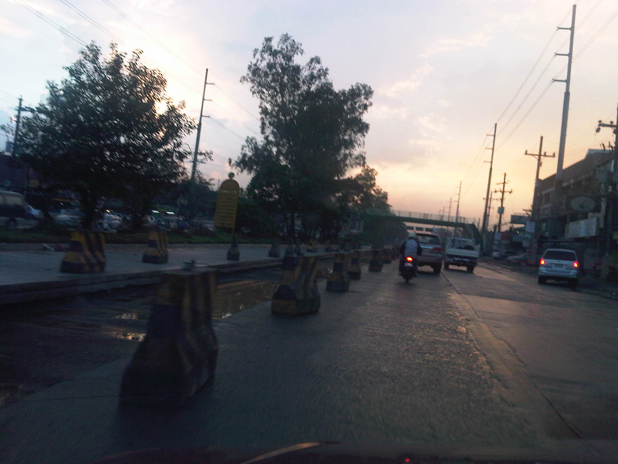 Despite the completion of re-blocking for the median lane, it is still closed to traffic. Meanwhile, it has taken a significant amount of time since they dug up the middle lane shown in the photo and where the section should have been ready for concrete but with the water collecting after the sudden rains that afternoon. Notice the hazards posed by the concrete barriers along the highway.
 Section along the westbound direction of the highway and across from Town & Country subdivision shows 2 lanes affected by the pavement rehab works and only 2 lanes available to traffic.
It is really quite difficult to offer solutions in this case considering so much work still to be done in order to meet the March 28, 2012 deadline posted on the project billboards along the highway. For one, I do not know exactly what the reasons are for the delay of the project (perhaps a delayed release of funds?) and why the contractor has been unable to deliver according to schedule and plan considering the amount of time that was available to them. I do notice that there seems to be not enough people working on the project and that there seems to be no one working during certain times of the day when traffic is supposed to be lighter and fewer people to inconvenience. I did write that the contractor was doing a decent job in managing traffic before including their good use of counterflows. That was months ago and it seems that the saying “you are only as good as your last performance” applies in this case where people will be scrutinizing the current state of traffic along Marcos Highway.
People do expect though that the combined efforts of the MMDA, local traffic enforcers from Pasig, Marikina and Antipolo, and personnel from the contractor to make a bigger effort to ease (manage?) traffic congestion during the critical periods. It’s very frustrating and disappointing, however, that instead of managing traffic or facilitating flow, most enforcers seem to be engrossed with enforcing the number coding scheme alone. This seems to be the case for Pasig and MMDA enforcers posted at Ligaya and the Metro East vicinity. Perhaps number coding should be the least of their concerns when traffic is already constricted because of their failure to manage the jeepneys clogging the Ligaya area as well as what seems to be a breakdown in the coordination among these enforcers and the contractor of the rehab works along Marcos Highway.
–
 Caught (up) in traffic