
Home » Posts tagged 'Baguio'
Tag Archives: Baguio
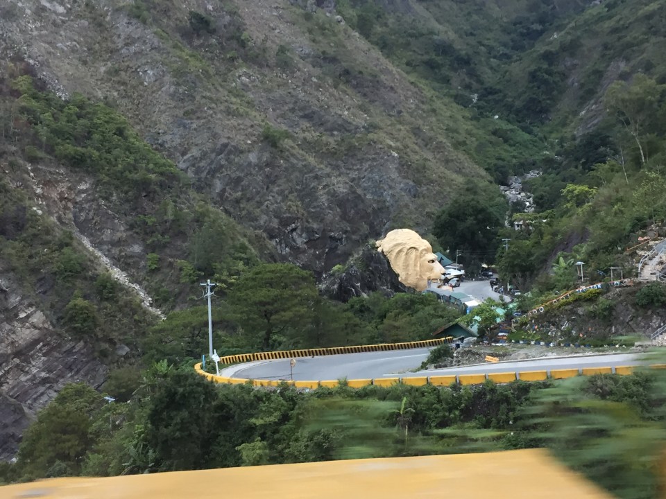
Landmarks – the Lion’s Head, Kennon Road
The main landmark along Kennon Road is the Lion’s Head. I think most people heading to or coming from Baguio have taken a photo of if not with the Lion. Here are photos I took as we descended from Baguio via Kennon Road last December 2024 after participating in a workshop.
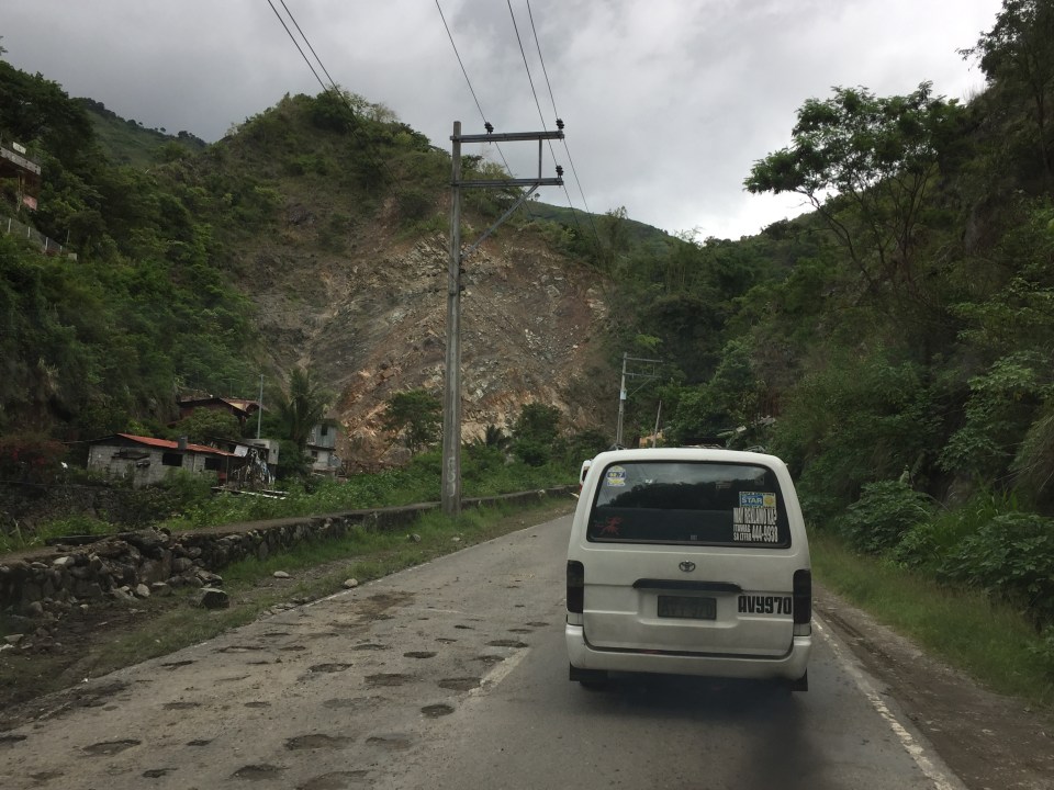
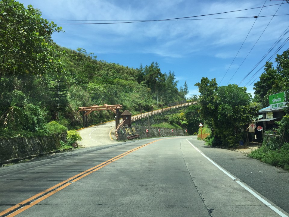
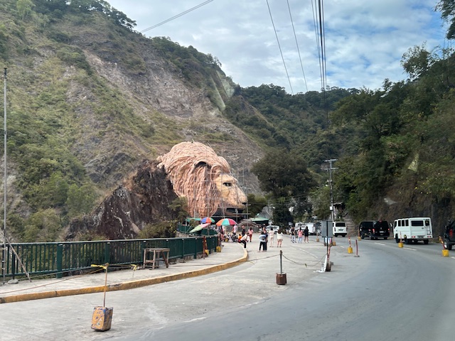 Approaching the Lion’s Head along Kennon Road, the monument appears to be under maintenance with scaffolding around the head.
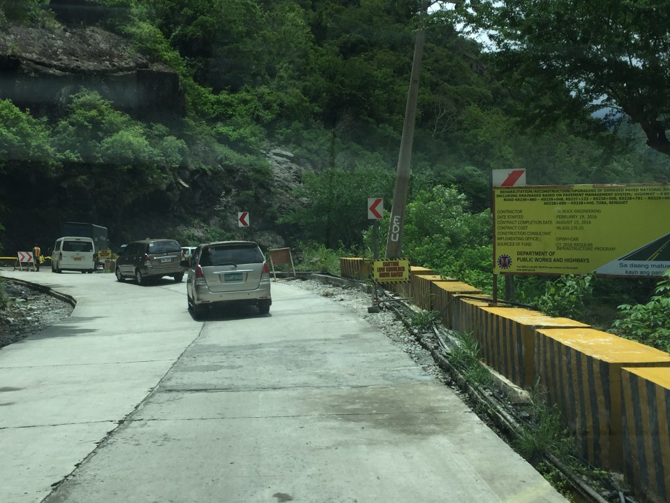
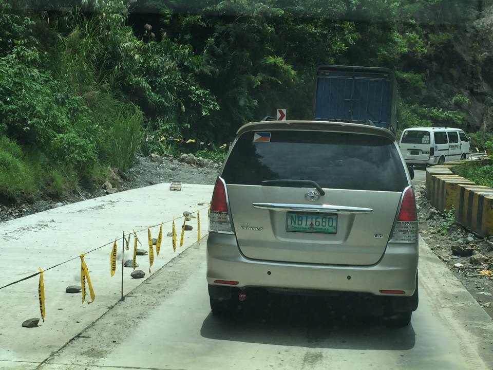
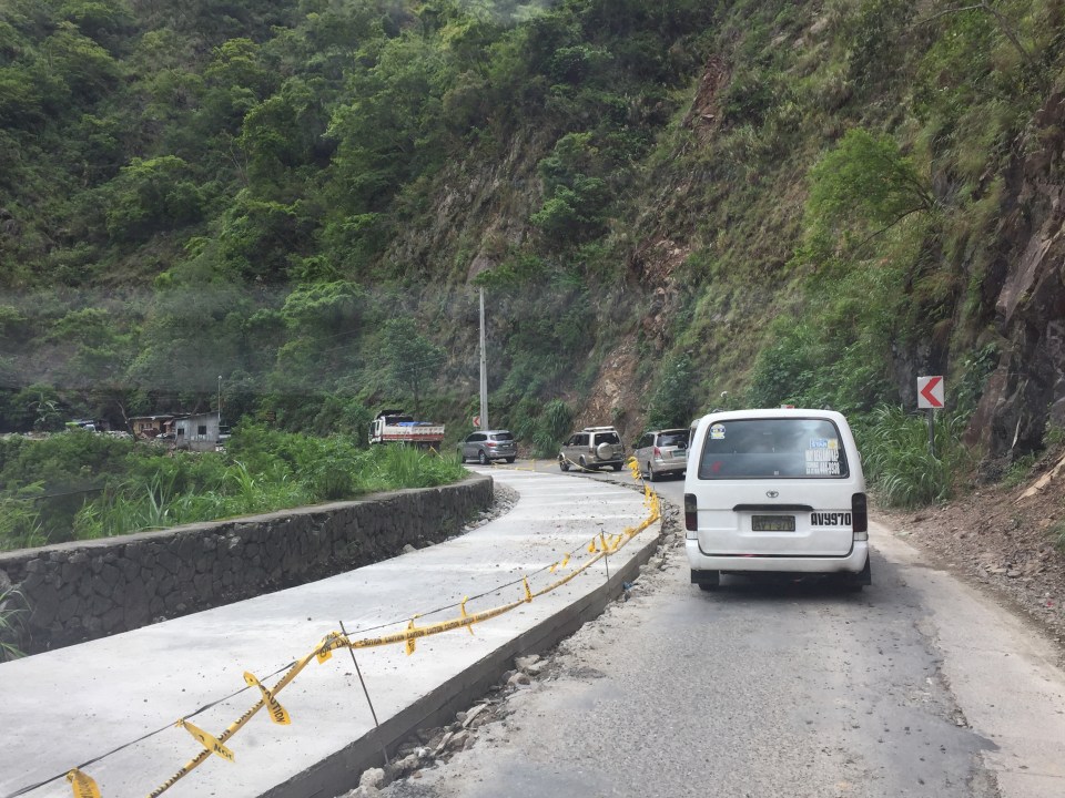
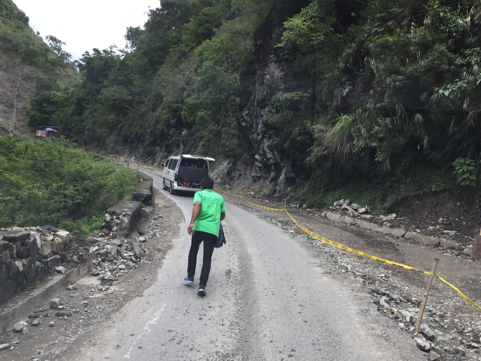
 An entire section is cordoned off, likely for tourists or visitors. The lane though looks newly paved, perhaps part of a road widening project.
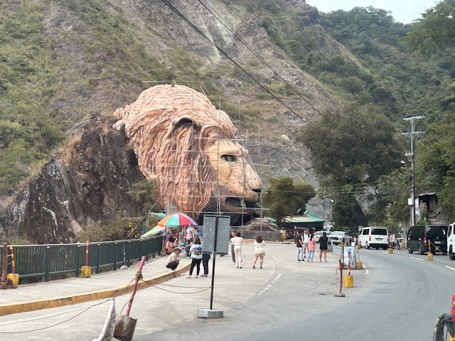
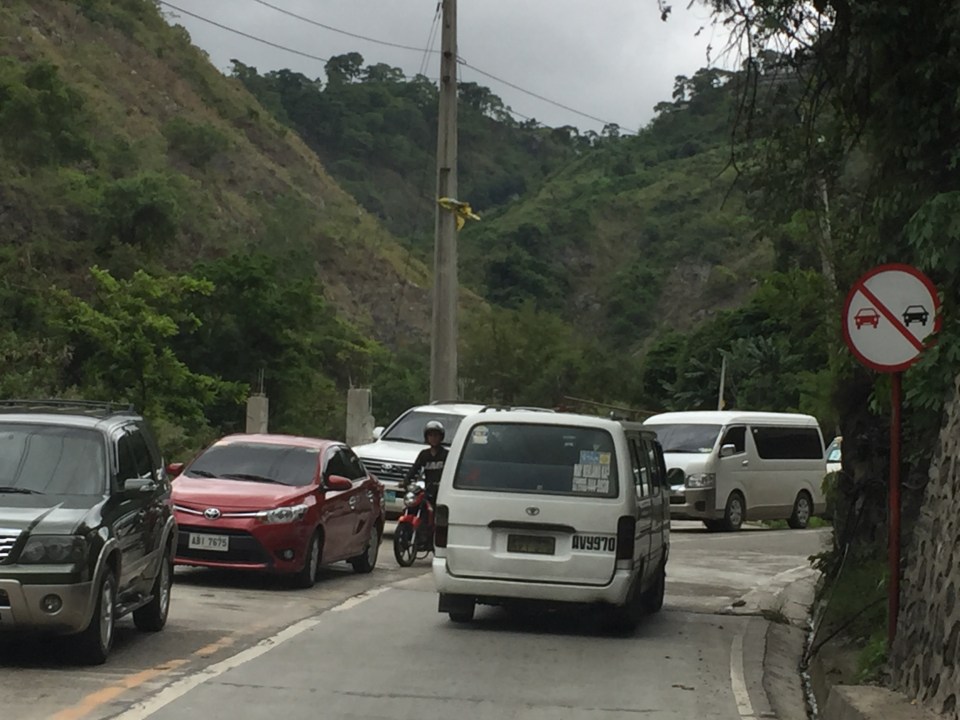
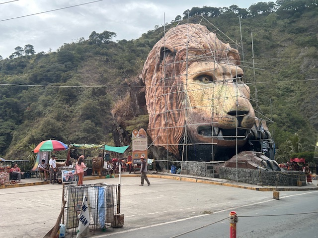 A closer look of the Lion’s Head and the touristy things in the area. Notice there weren’t too many tourists at the time and there weren’t so many shops and vendors set-up.
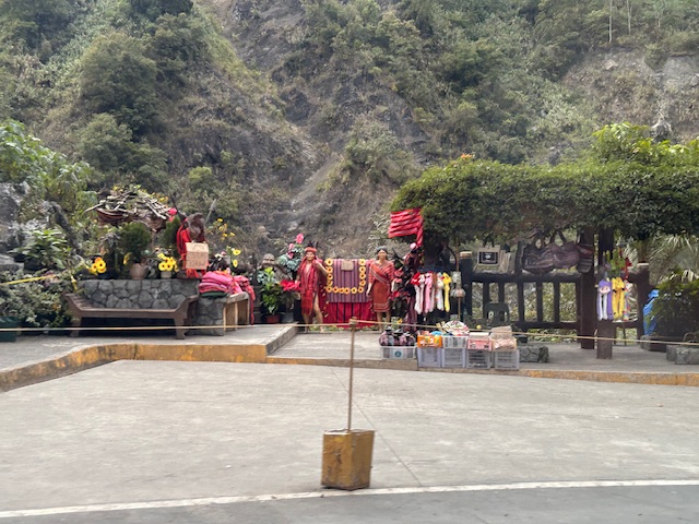 Among the activities are dressing up in local costume and taking photos wearing these with the mountains or the monument in the background.
–
–
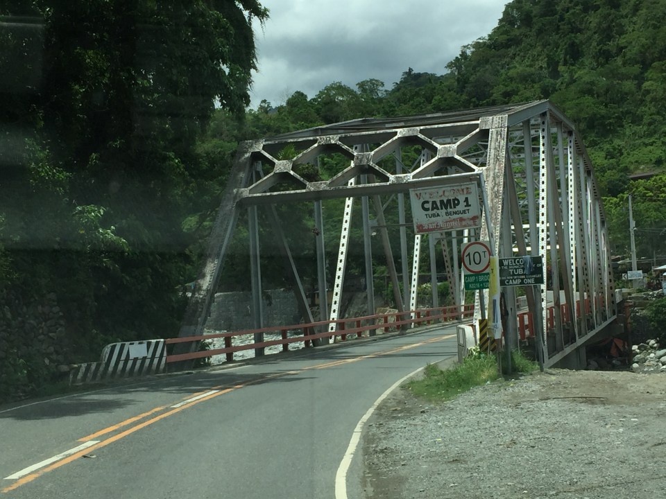
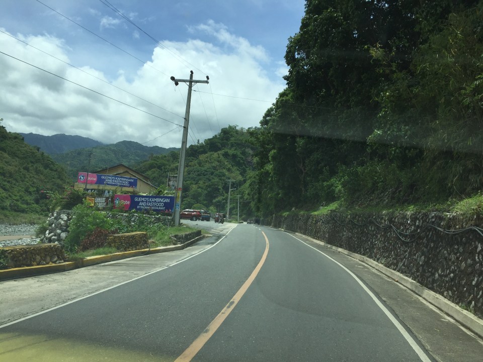
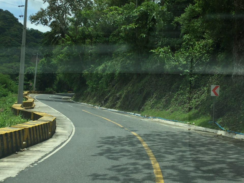
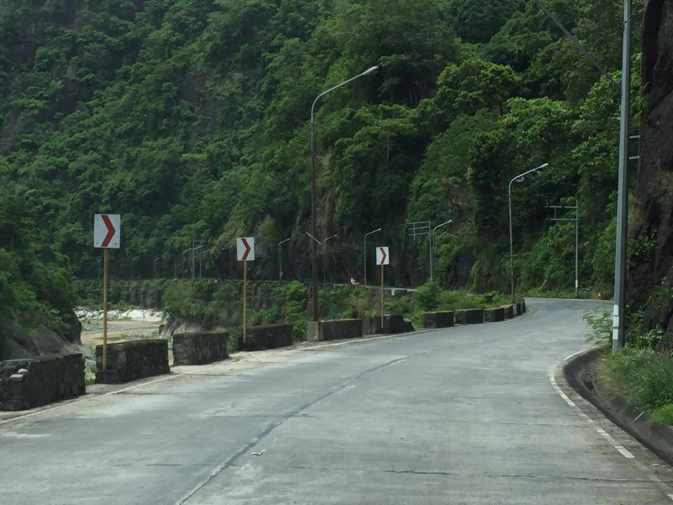
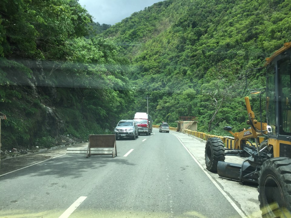
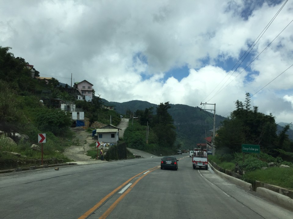
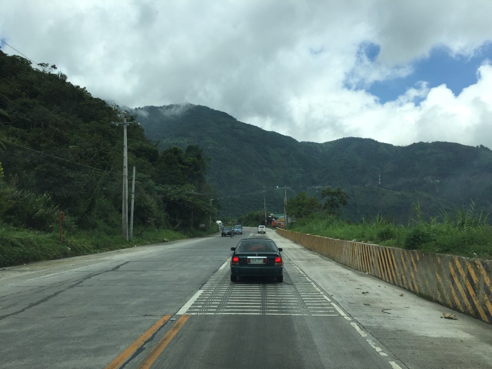
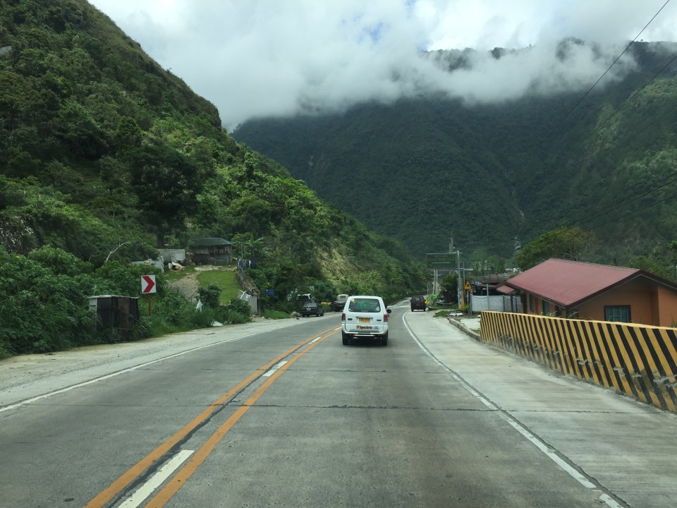
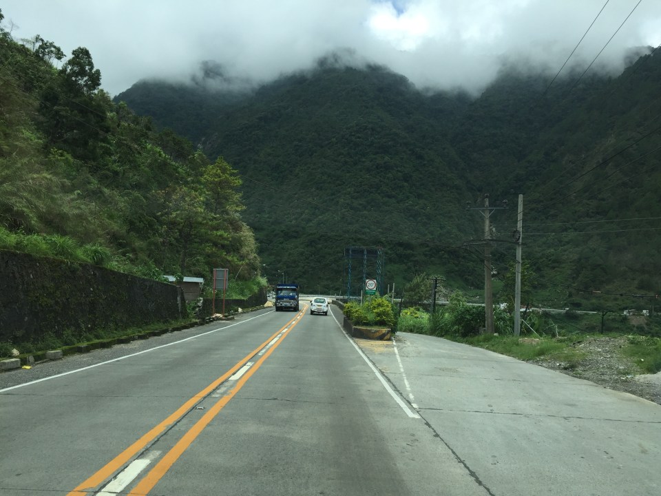
Kennon Road – Some photos taken in June 2016
I had not been to Baguio City for quite some time until June of 2016 (last year). And so I took a lot of photos of the roads between Metro Manila and Baguio including the three expressways (NLEX, SCTEX and TPLEX) and Marcos Highway. I have only posted photos of Marcos Highway ( a lot of them) and haven’t come to downloading photos of TPLEX that I have taken during my first time along the entire stretch at the time. To sort of make up for the backlog, I am posting the following photos of Kennon Road that I took almost 7 months ago. I assume most if not all roadworks along Kennon Road that some of the following photos show are already completed. I will no longer write captions for each of the photos but there are many landmarks shown here that can help the reader in his/her sense of direction and orientation. The following photos are of Kennon Road from Rosario, La Union to Baguio.


More photos from that June 2016 trip soon…
–
Roads to Baguio: Marcos Highway – Part 3
Still on Marcos Highway, the following photos complete this feature from my most recent trip to a city dubbed as the summer capital of the Philippines. This is the third part of the series on this major road to/from Baguio City, and sections pretty much show very similar characteristics as the previous ones in the preceding posts. Its been a while since the Part 2 of this series and since then, an additional section of the Tarlac-Pangasinan-La Union Expressway (TPLEX) has been opened further cutting down travel time between Manila and Baguio to 4 hours.
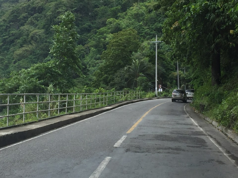
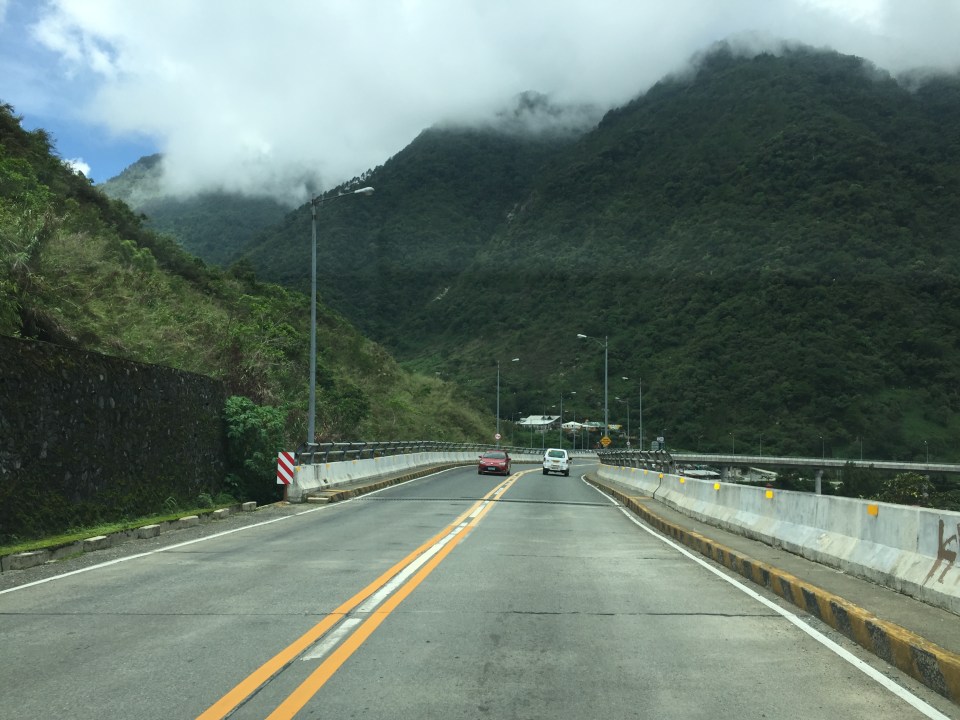
 We start with a series of curves. Here is a section complete with signs and markings to guide and protect road users.
 The approach to this curve reveals the uneven terrain on which the road was built.
 These row houses and their driveways seem too close to the road
 That’s a poorly placed driveway right in the middle of the curve
 Many motorists tend to overtake slower moving vehicles via the opposing traffic lane. Here is a bus undertaking a passing maneuver at a curve!
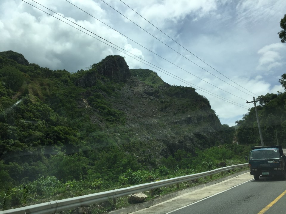
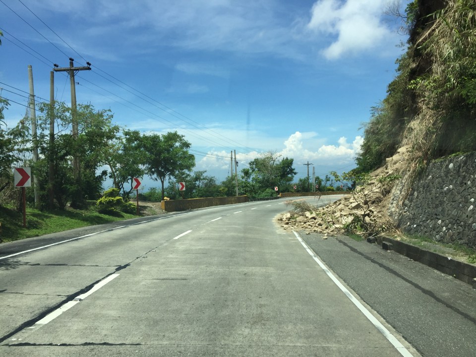 Rockslide – these are frequent along mountain roads such as Marcos Highway. They are even more frequent along Kennon Road and Naguilian Highway.
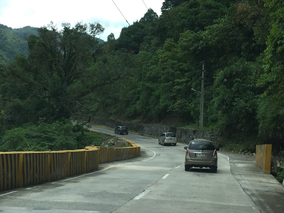
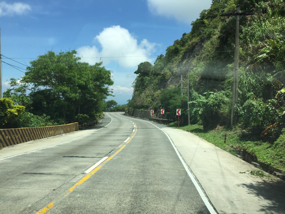 Yet another section this time showing a reverse curve.
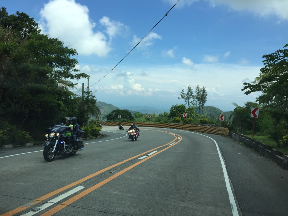 Here are a few more of the big bikes we encountered on our trip down from Baguio. These are of the same group of bikers in Parts 1 and 2.
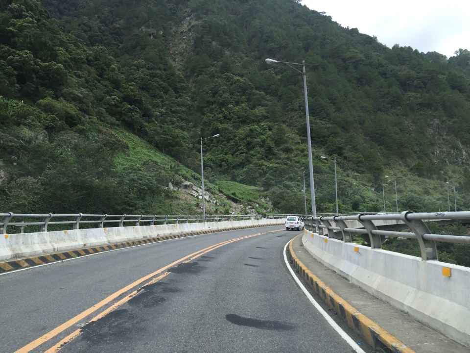
 Many sections of Marcos Highway have excellent sight distance and have usable, paved shoulders.
 There is significant truck traffic along Marcos Highway. These, especially the loaded ones, often slow down traffic. In certain cases, trucks form platoons making it difficult to pass them.
 I was not surprised to see a school along the highway since there are many communities along the road. This is a good example of standard signs and markings including a pedestrian crossing.
 The curve is not a good location for a home.
 The pavement at this section is intriguing as the road seems to have had a different orientation in the past. I suspect this was formerly a paved bay (for emergency stops or for loading/unloading passengers) in what used to be an unpaved shoulder.
 The position of this driveway is quite risky and motorists from both the highway and the driveway will be blind to each other.
 The section shows also what looks like a bay along the inner (left in the photo) side of the highway. Note that the shoulder is rather narrow along the ridge-side (right).
 Curve sections like this offer picturesque views but are actually are treacherous. The barriers are supposed to prevent vehicles from ‘flying’ out of the highway. Their designs should arrest large, heavy vehicles that may lose control and collide with the barriers.
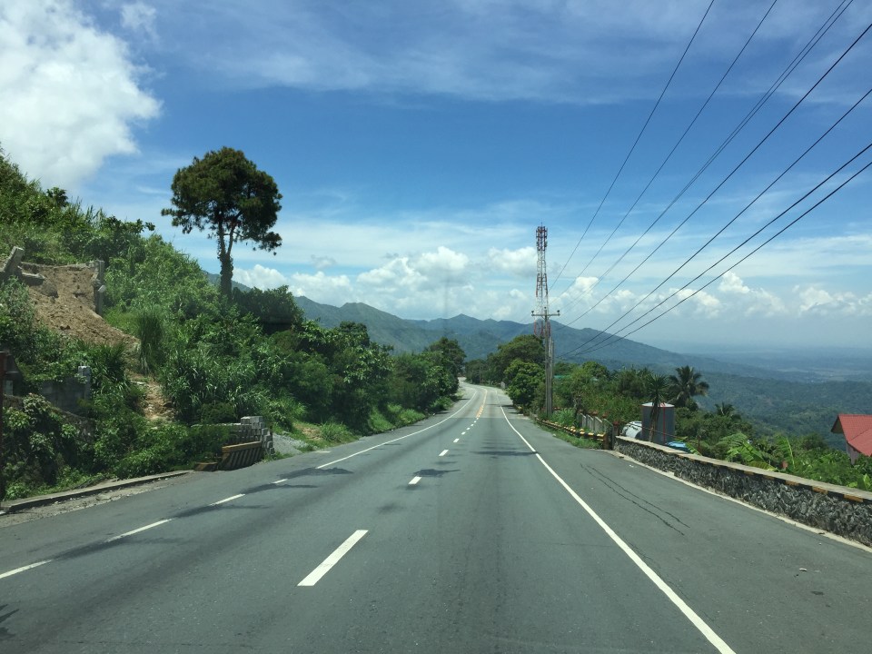 Marcos Highway offers many breathtaking views and excellent sight distance along many portions.
 This is the final stretch of Marcos Highway that terminates at the intersection with the Manila North Road, which is part of AH-26.
–
Roads to Baguio: Marcos Highway – Part 2
To open September, I continue on the feature on Marcos Highway. Following are more photos I took on our way back to Manila from a short vacation in Baguio.
 Many sections of Marcos Highway have some form of protection against landslides or rock slides. Note the concrete faces fences along the left in the photo.
 There are many structures along the highway including houses and stores
 The mountain limits sight distance along curves like this.
 We encountered this group of motorcyclists heading up to Baguio on what appeared to be what is termed as “big bikes”, that typically are the more expensive ones, too. Other photos in this series will show these motorcycles. I lost count of them while we were traveling the opposite direction.
 This seems to be a popular stop for hungry travelers. The location though and its driveway are not at all desirable from the highway engineering perspective.
 Combination of signs to guide motorists along this sharp curve.
 Curved sections like this one offer breathtaking views of the mountains.
 Shoulders may function as space for emergency stops including for breakdowns or changing tires. Full shoulders allow for stopped vehicles to be completely clear of the traveled way. That is, they don’t pose as obstacles that traffic would need to evade.
 More examples of poorly located establishments along a curve
 The road seems to disappear in the mountains
 Another home along the highway and right at one of the curves. This one seems to be wisely located behind the barriers though its pretty obvious where their driveway is located.
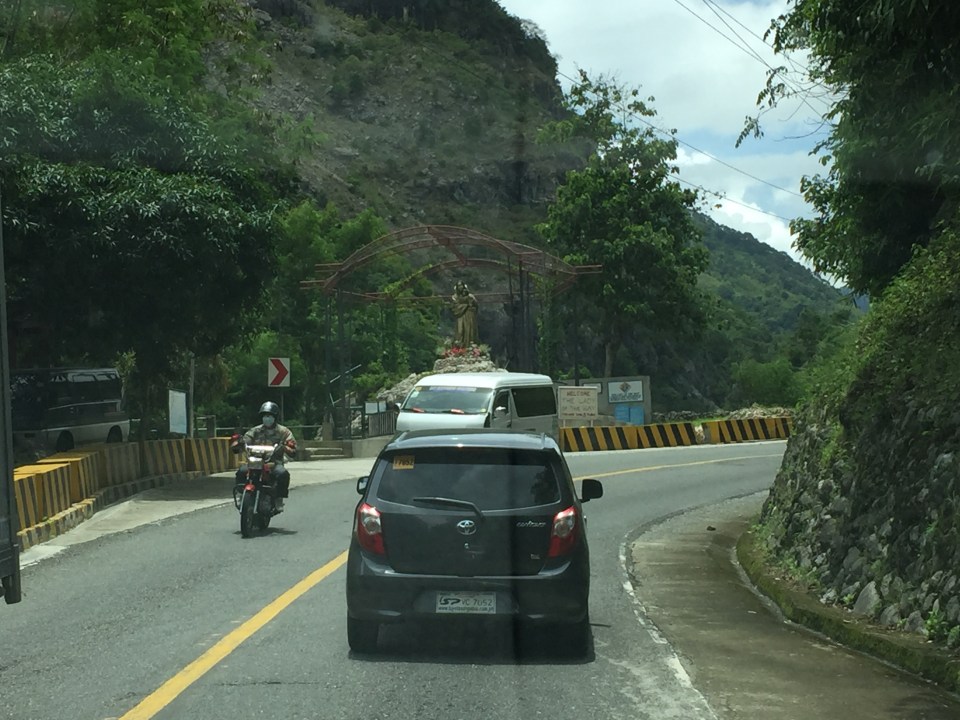
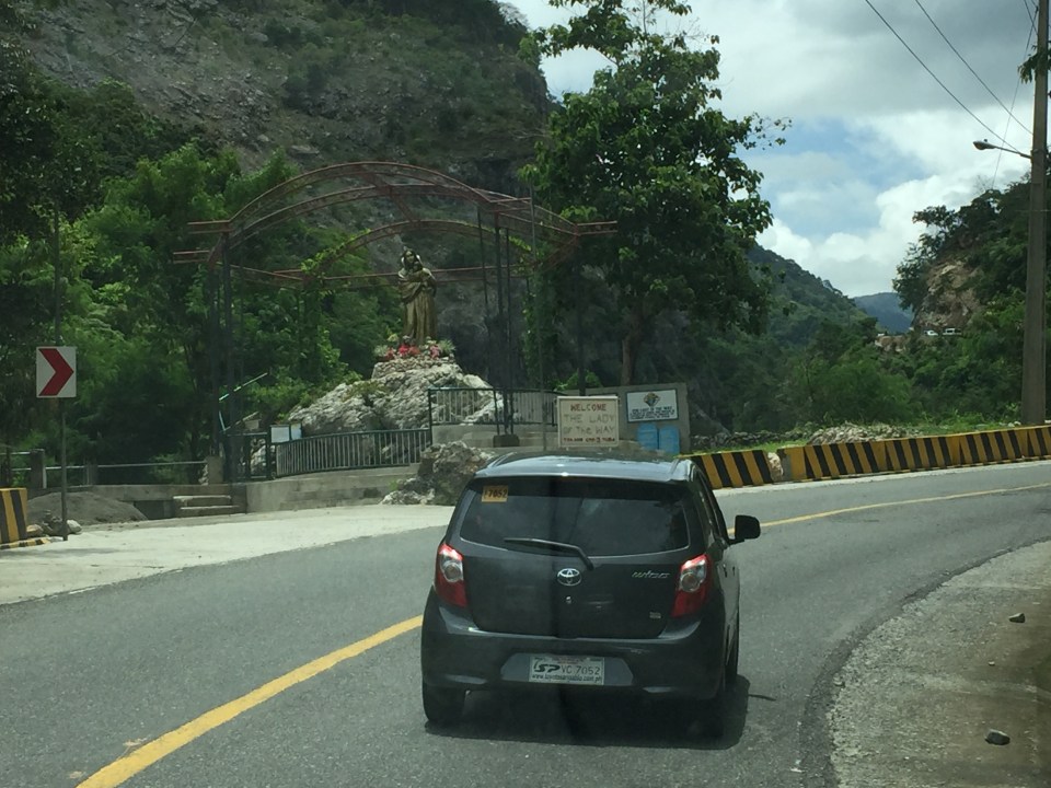
 Conspicuous location for a religious site along the highway
 More motorcyclists and their big bikes
 Barriers along both side of the highway seem sturdy enough to keep vehicles from flying off the road in case their drivers/riders lose control. This section offers enough to satisfy sight distance requirements and noticeably does not feature double yellows like the other photos in this post.
 A residential community along the highway including this big house just clear of the shoulder.
 Another community including a home atop the mountain. The barriers appear to be newly constructed along with the PCC paved shoulders. These would have to be painted for them to be visible to motorists especially at night-time or when visibility is poor.
More photos of Marcos Highway soon!
–
Roads to Baguio: Marcos Highway – Part 1
In my recent trip to Baguio, I made sure to take new photos of roads particularly the major ones that made that city in the mountains accessible. Of course, one objective was also to have an updated selection for my highway engineering lectures. Following are the first batch of photos I took of Marcos Highway last June 2016. I won’t be writing a caption for many of these photos as well as those in the succeeding batches. I’ll just put these here for others to refer to whether for practical uses or for research.
 I found it unusual to see double yellow along a relatively straight and level section of Marcos Highway. It is perhaps a section where there have been a significant number of road crashes?
 There are many roads built to provide access to areas previously uninhabited but now have houses giving some spectacular mountain views.
 There are rumble strips along many sections of the highway; seemingly there to wake up travelers that where getting sleepy.
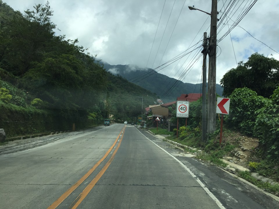
 It can get quite foggy along the highway

 Old barriers look sturdy enough to prevent heavy vehicles from falling off the highway.
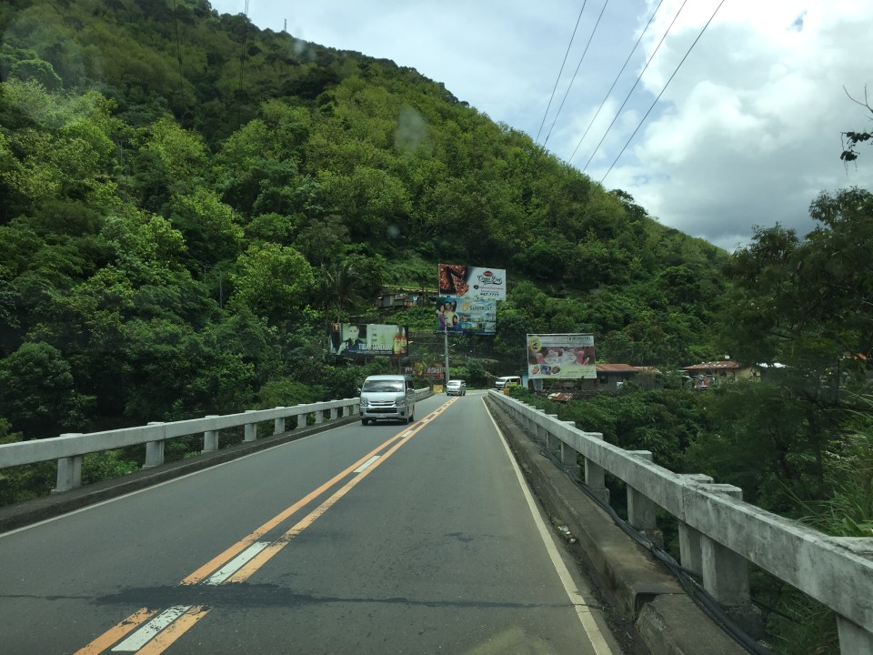
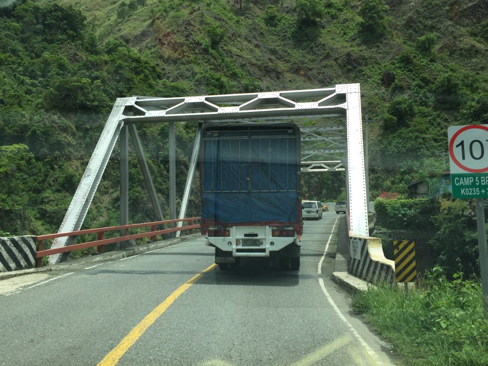
 One end of the viaduct alongside the mountains
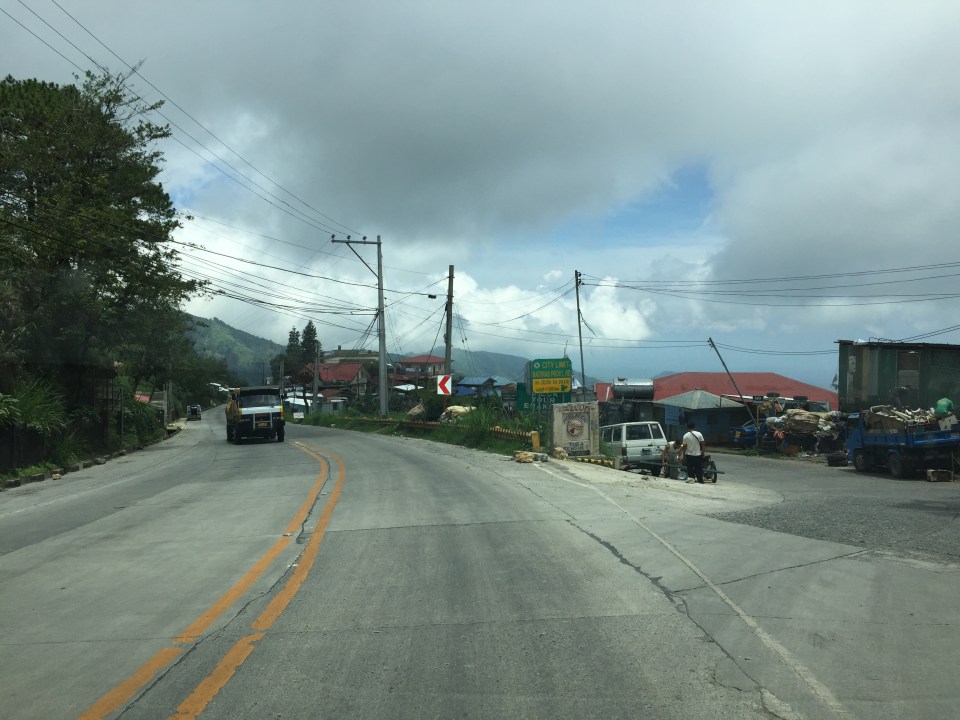
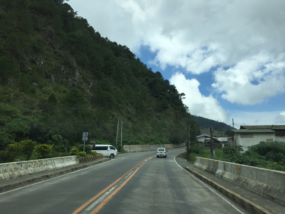
 There are communities in many places in the mountains along the highway. Access would be via local roads, some of which are private roads.
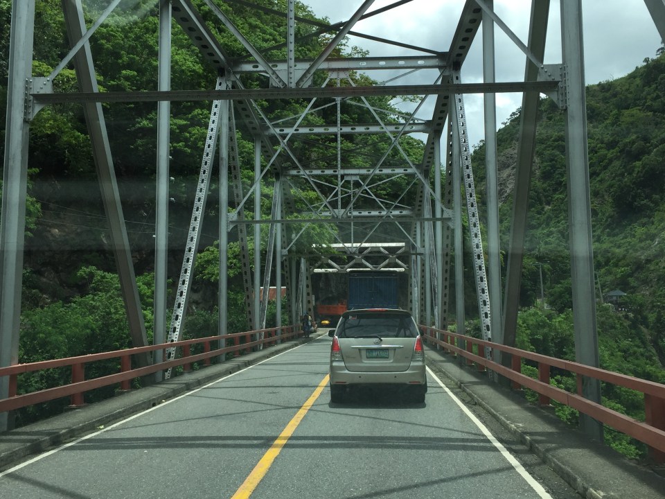
 I thought perhaps bridges and viaducts in the Philippines should have shoulders and more generous space for pedestrians.
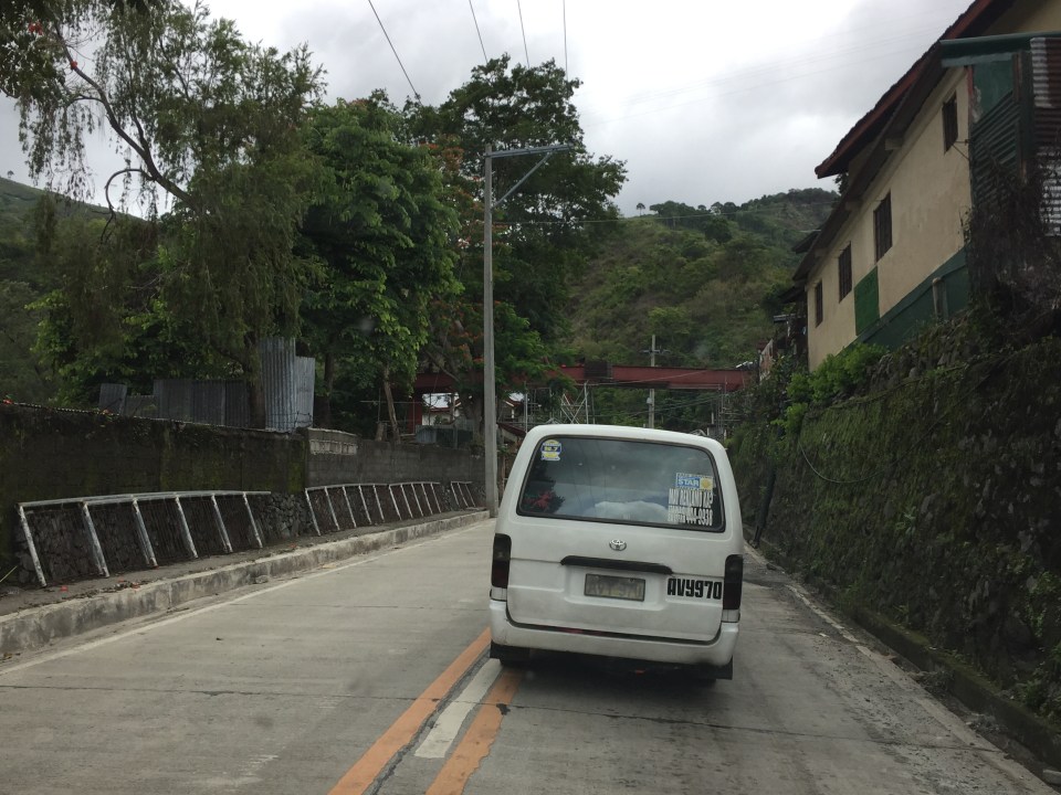
 The van in the photo enters the highway from one of the many driveways and local roads connecting to the national highway.
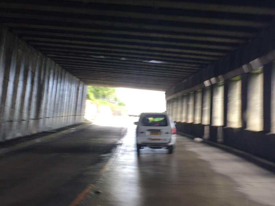
 What appears to be a tunnel for many people is actually a roof structure to protect travellers and the road from landslides.
 During the day, it is bright inside the structure given the openings along one side of the highway.
 The light at the end of the tunnel?

More photos in Part 2 coming up soon.
–
Throwback to 1995 – Baguio flyover
Baguio retains a special place in me as it is where I did my first out of town project back in 1995. This was just after I finished my master’s at UP Diliman. The project was Baguio’s first flyover or overpass and it was being proposed along Bokawkan Road, which is then as now a very busy thoroughfare connecting the city to La Trinidad, the capital town of Benguet province. Our task was to determine the best configuration for the flyover including the required capacity for it and the remain at-grade roads once it was built.
I remember it was very rainy when we were there and our accommodations (which was volunteered by our client – their family’s vacation house in the city) turned out to be quite inhospitable. We had to buy blankets and make our own beds as we had practically no budget to stay at a hotel. I recall the house was a bit creepy especially for the last few days I stayed there by myself (my mentor had to go back to Manila) to supervise the traffic surveys at the proposed site of the flyover. That was quite the adventure for me then as I also tried to explore the city on foot. I walked the entire stretch of Session Road when it was still the Session Road (old) people reminisce about. I also walked around neighborhoods in the Gen. Luna area where the house I was staying at was located.
Here are some photos of the flyover now and the area where I supervised traffic surveys together with the bridge engineer who was from Baguio.
 The flyover as seen from one of the side streets in the Trancoville district.
 A closer look at this almost 20-year structure.
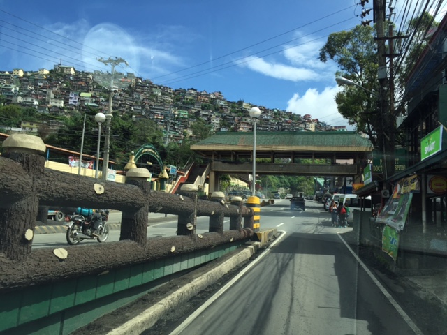 Traveling along the service road along the flyover and towards the direction of La Trinidad. Shown also in the photo is one of the pedestrian overpasses in the city. I actually like the architecture of these overpasses that seems more apt compared to Metro Manila’s steel structures.
 I included this photo past the overpass to show how crowded Baguio is already with houses having replaced trees in many mountains and hills. These used to be all green with trees back in the 1990s with only a few shanties that had started to sprout back then. I have other photos of such scenes of houses growing out of the mountains around the city and will share those in another post soon. Such have become the representation of unsustainable development for a city that has become overcrowded and yet continue to attract many people who eventually become residents.
–
