
To open September, I continue on the feature on Marcos Highway. Following are more photos I took on our way back to Manila from a short vacation in Baguio.
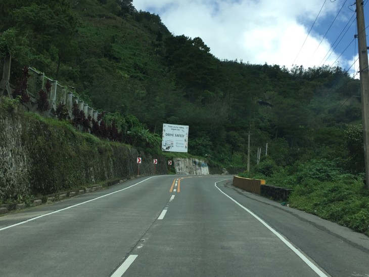 Many sections of Marcos Highway have some form of protection against landslides or rock slides. Note the concrete faces fences along the left in the photo.
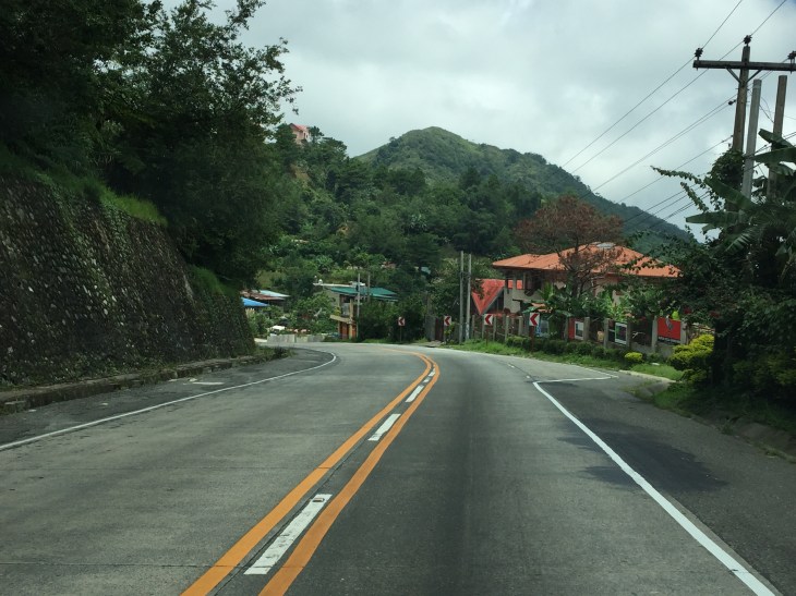
 There are many structures along the highway including houses and stores
 The mountain limits sight distance along curves like this.
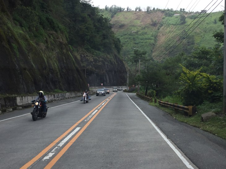
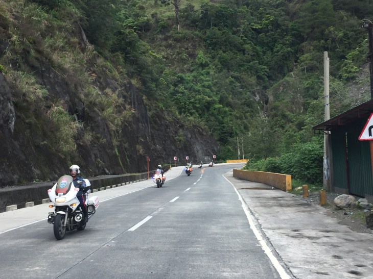 We encountered this group of motorcyclists heading up to Baguio on what appeared to be what is termed as “big bikes”, that typically are the more expensive ones, too. Other photos in this series will show these motorcycles. I lost count of them while we were traveling the opposite direction.
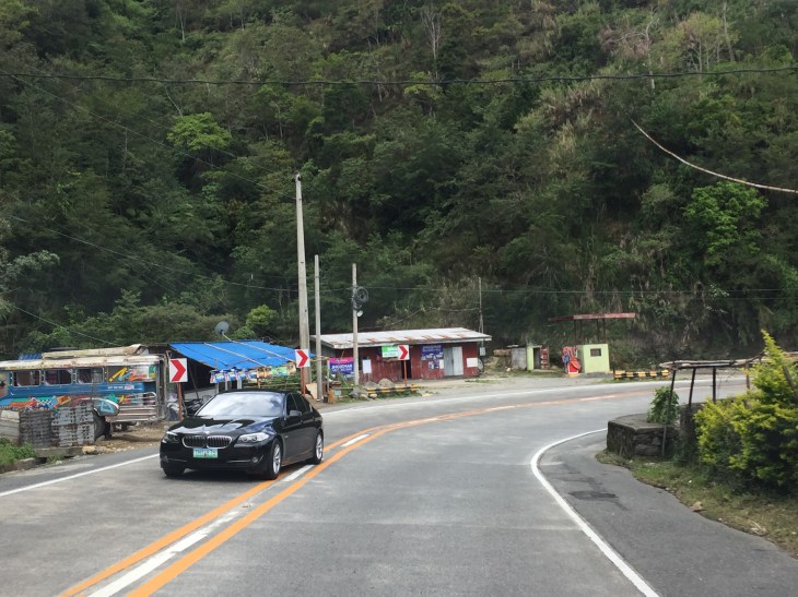
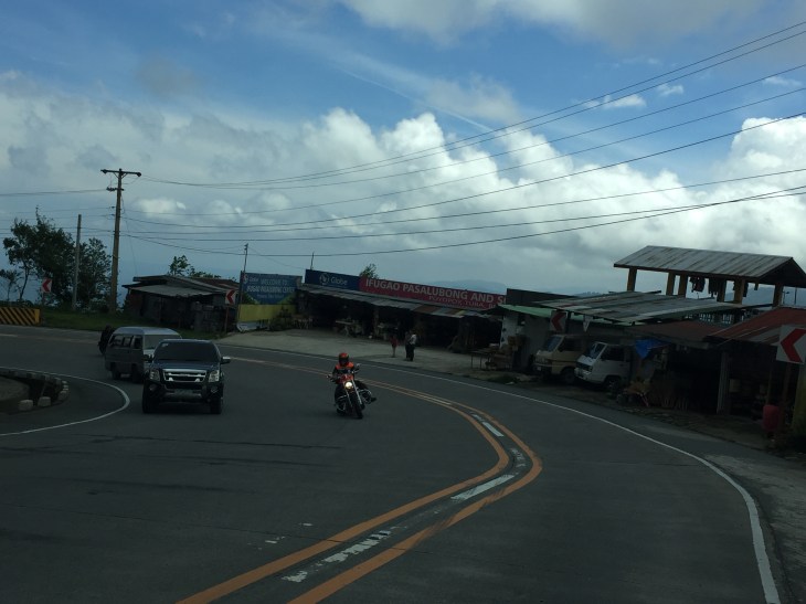
 This seems to be a popular stop for hungry travelers. The location though and its driveway are not at all desirable from the highway engineering perspective.
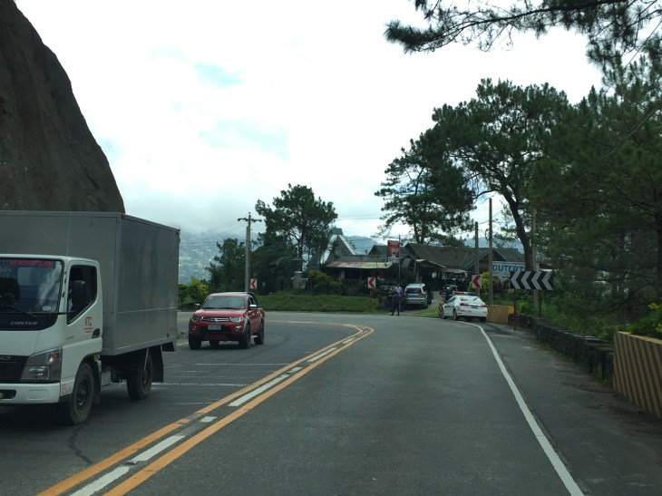
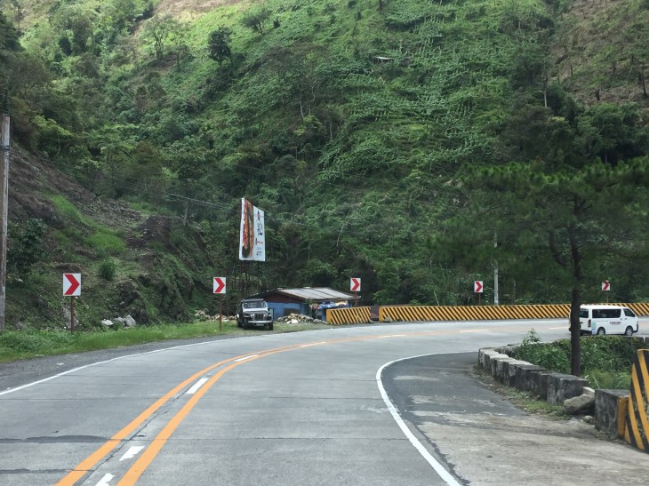
 Combination of signs to guide motorists along this sharp curve.
 Curved sections like this one offer breathtaking views of the mountains.
 Shoulders may function as space for emergency stops including for breakdowns or changing tires. Full shoulders allow for stopped vehicles to be completely clear of the traveled way. That is, they don’t pose as obstacles that traffic would need to evade.
 More examples of poorly located establishments along a curve
 The road seems to disappear in the mountains
 Another home along the highway and right at one of the curves. This one seems to be wisely located behind the barriers though its pretty obvious where their driveway is located.
 Conspicuous location for a religious site along the highway
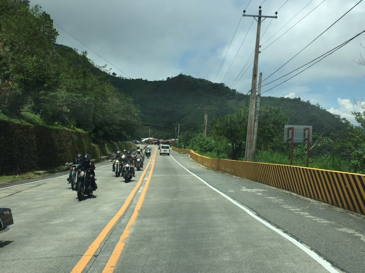 More motorcyclists and their big bikes
 Barriers along both side of the highway seem sturdy enough to keep vehicles from flying off the road in case their drivers/riders lose control. This section offers enough to satisfy sight distance requirements and noticeably does not feature double yellows like the other photos in this post.
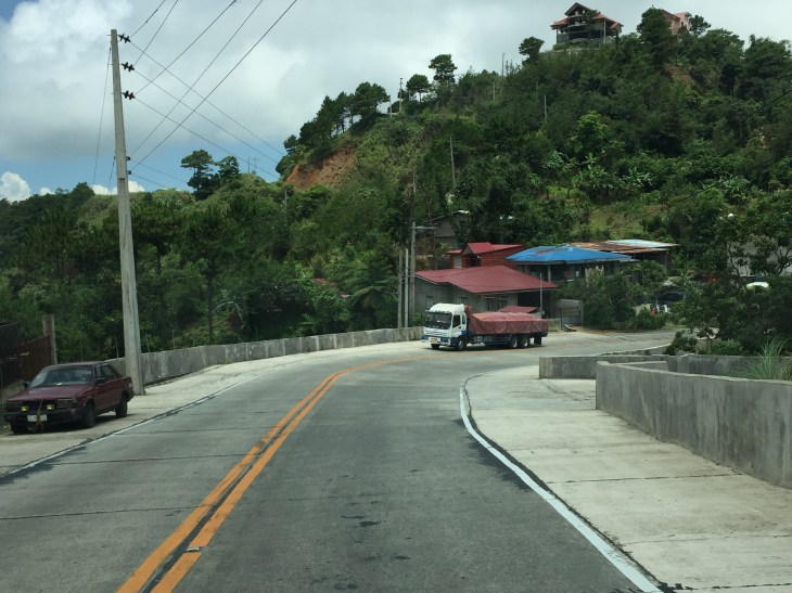
 A residential community along the highway including this big house just clear of the shoulder.
 Another community including a home atop the mountain. The barriers appear to be newly constructed along with the PCC paved shoulders. These would have to be painted for them to be visible to motorists especially at night-time or when visibility is poor.
More photos of Marcos Highway soon!
–
