
Still on Marcos Highway, the following photos complete this feature from my most recent trip to a city dubbed as the summer capital of the Philippines. This is the third part of the series on this major road to/from Baguio City, and sections pretty much show very similar characteristics as the previous ones in the preceding posts. Its been a while since the Part 2 of this series and since then, an additional section of the Tarlac-Pangasinan-La Union Expressway (TPLEX) has been opened further cutting down travel time between Manila and Baguio to 4 hours.
 We start with a series of curves. Here is a section complete with signs and markings to guide and protect road users.
 The approach to this curve reveals the uneven terrain on which the road was built.
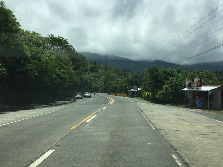
 These row houses and their driveways seem too close to the road
 That’s a poorly placed driveway right in the middle of the curve
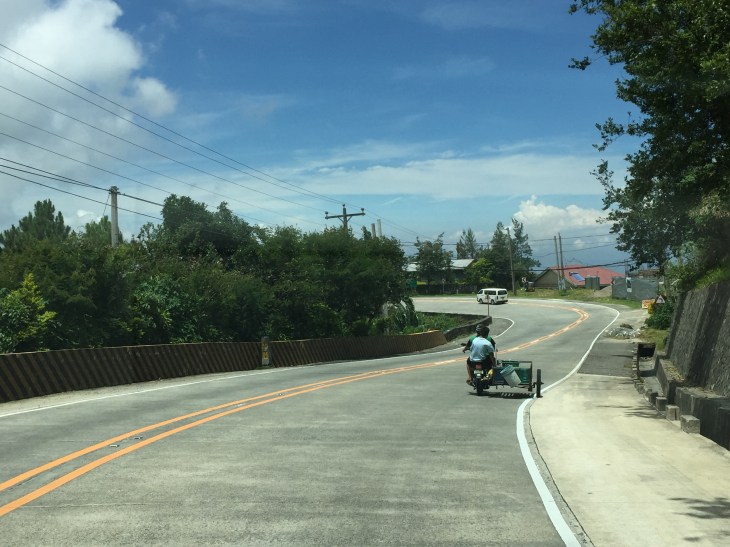
 Many motorists tend to overtake slower moving vehicles via the opposing traffic lane. Here is a bus undertaking a passing maneuver at a curve!
 Rockslide – these are frequent along mountain roads such as Marcos Highway. They are even more frequent along Kennon Road and Naguilian Highway.
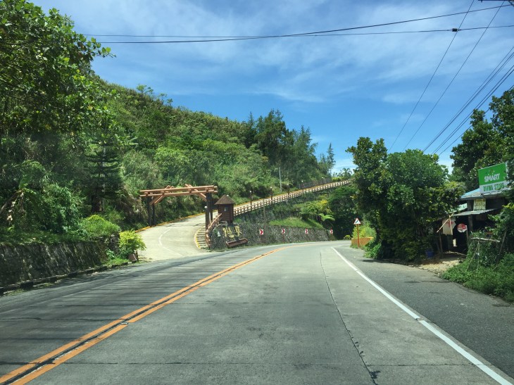
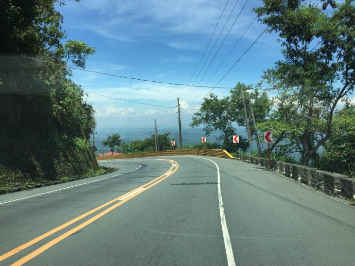
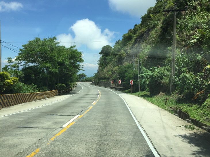 Yet another section this time showing a reverse curve.
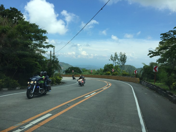 Here are a few more of the big bikes we encountered on our trip down from Baguio. These are of the same group of bikers in Parts 1 and 2.
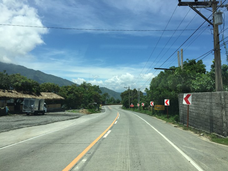
 Many sections of Marcos Highway have excellent sight distance and have usable, paved shoulders.
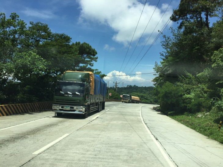 There is significant truck traffic along Marcos Highway. These, especially the loaded ones, often slow down traffic. In certain cases, trucks form platoons making it difficult to pass them.
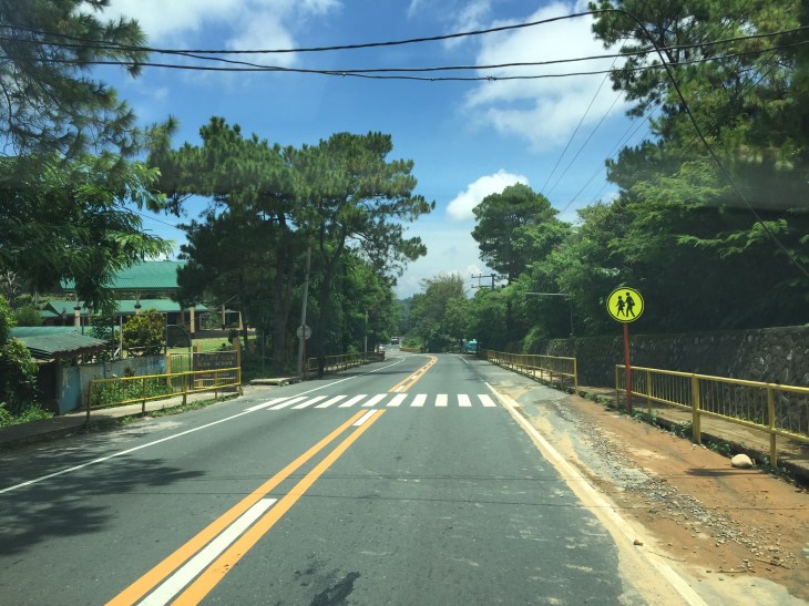 I was not surprised to see a school along the highway since there are many communities along the road. This is a good example of standard signs and markings including a pedestrian crossing.
 The curve is not a good location for a home.
 The pavement at this section is intriguing as the road seems to have had a different orientation in the past. I suspect this was formerly a paved bay (for emergency stops or for loading/unloading passengers) in what used to be an unpaved shoulder.
 The position of this driveway is quite risky and motorists from both the highway and the driveway will be blind to each other.
 The section shows also what looks like a bay along the inner (left in the photo) side of the highway. Note that the shoulder is rather narrow along the ridge-side (right).
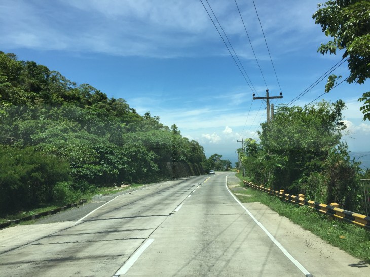
 Curve sections like this offer picturesque views but are actually are treacherous. The barriers are supposed to prevent vehicles from ‘flying’ out of the highway. Their designs should arrest large, heavy vehicles that may lose control and collide with the barriers.
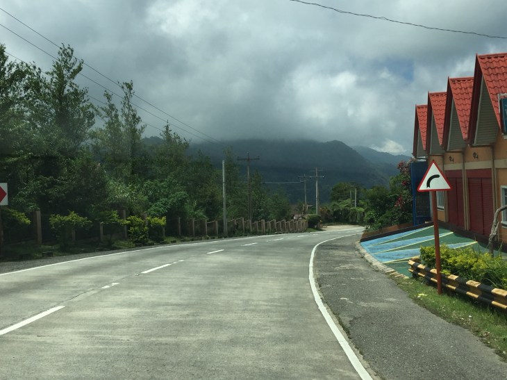
 Marcos Highway offers many breathtaking views and excellent sight distance along many portions.
 This is the final stretch of Marcos Highway that terminates at the intersection with the Manila North Road, which is part of AH-26.
–
