
Home » Highways and Streets (Page 25)
Category Archives: Highways and Streets
Circumferential Road-4: R-10 to Monumento
Circumferential Road 4 or C-4 is perhaps the busiest among the major arterials of Metro Manila. It is usually associated with its longest segment named Epifanio De los Santos Avenue or EDSA, which stretches from the SM Mall of Asia in Pasay City to Monumento in Caloocan City. There are two other segments of C-4: C-4 Road (R-10 to Letre/Samson Road), Letre Road (Malabon City Hall to Samson Road), and Samson Road (Letre/C-4 to Monumento). All in all, the road cuts across eight cities in Metro Manila: Navotas, Malabon, Caloocan, Quezon City, Mandaluyong, Pasig, Makati and Pasay.
 After turning from R-10, one is greeted with a 4-lane road that at the time didn’t have pavement markings to distinguish the lanes.
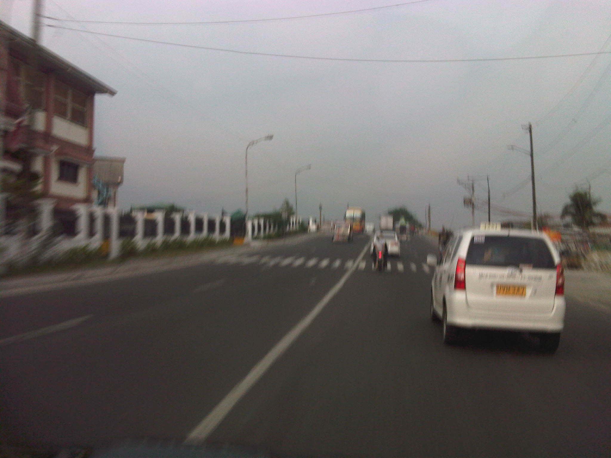 After covering some distance, pavement markings appear before reaching the bridge that connected the Navotas part of C-4 with Malabon.
 The bridge spans the Navotas-Malabon River, which goes around this point and meanders back to Malabon and Caloocan.
 Between the first bridge and the next along the way to Monumento, travelers have a view of the section of Navotas-Malabon River meander on the right side. Garbage floating on the river are quite noticeable but not as many as in the past.
 The 4-lane undivided road eventually becomes a divided road with a median island separating opposing flows of traffic.
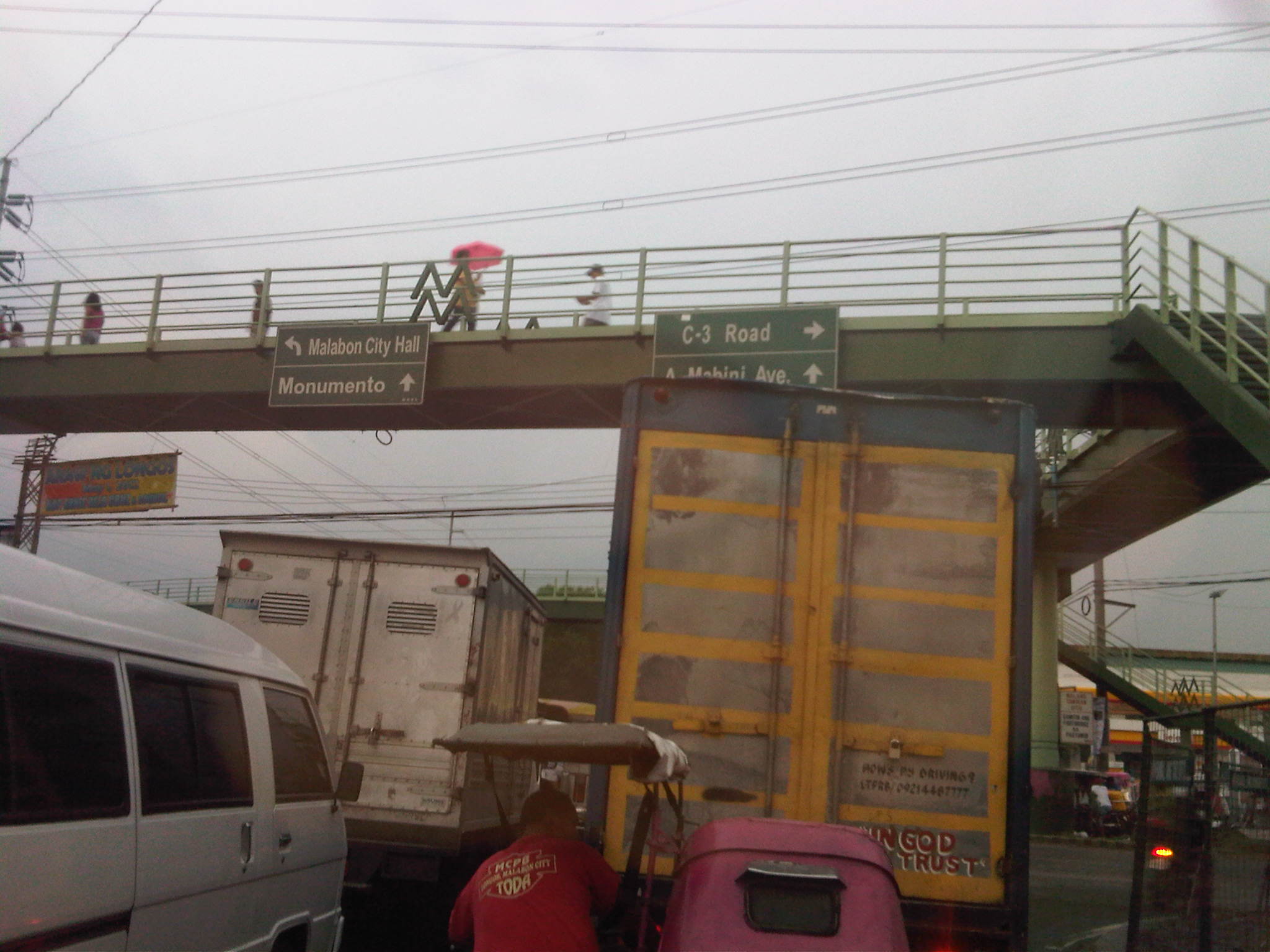 Pedestrian overpass with directional signs before the intersection with Dagat-dagatan Avenue.
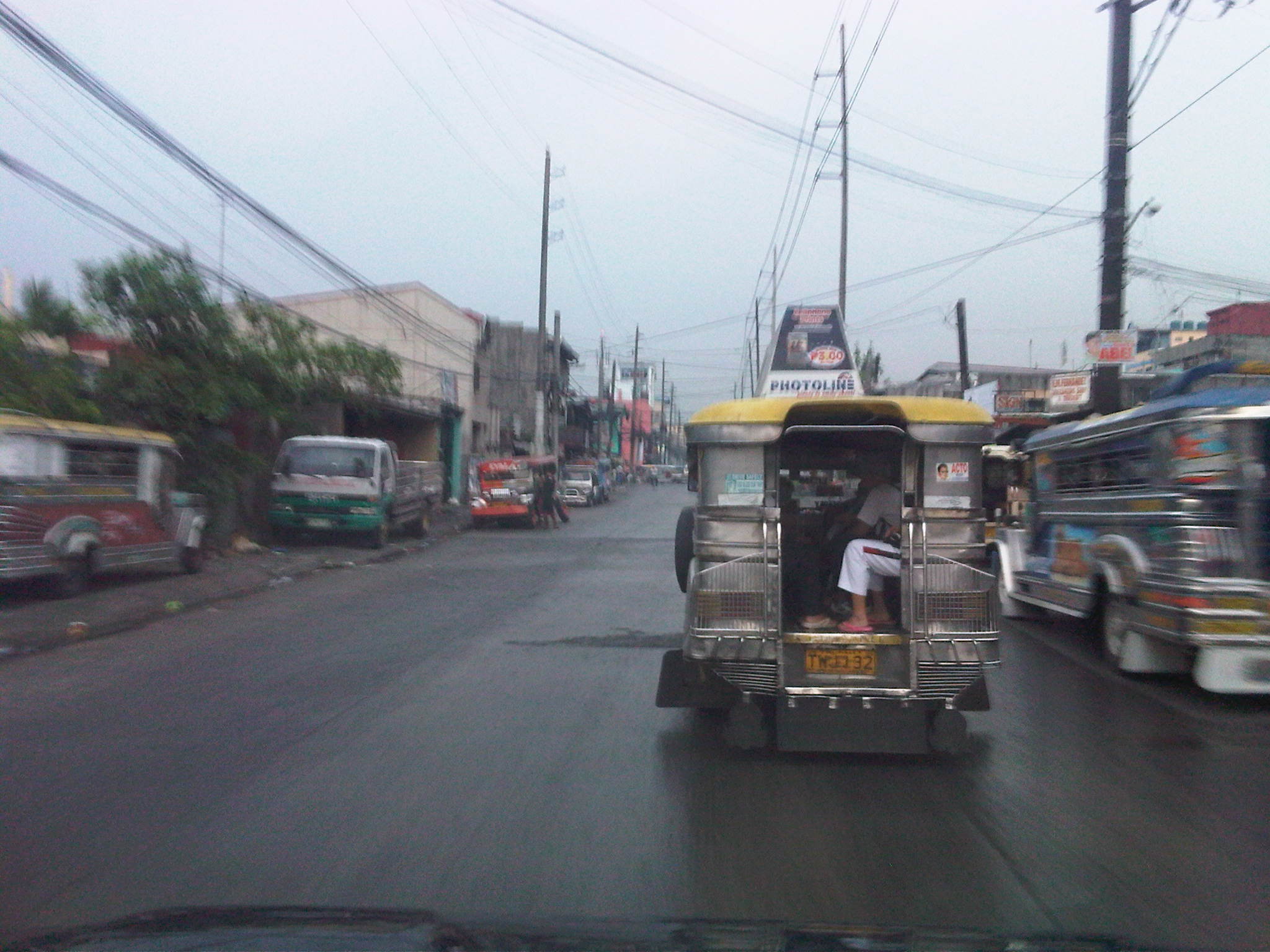 This is supposed to be a 4-lane section but it seems the roadside friction, driver behavior and the lack of pavement/lane markings contribute to the perception of limited space along C-4. Pedestrian sidewalks are also used as parking space by jeepneys and trucks as shown in the photo.
 Roadworks at the approach to the intersection with A. Mabini/M.H. Del Pilar from where C-4 is known as Samson Road.
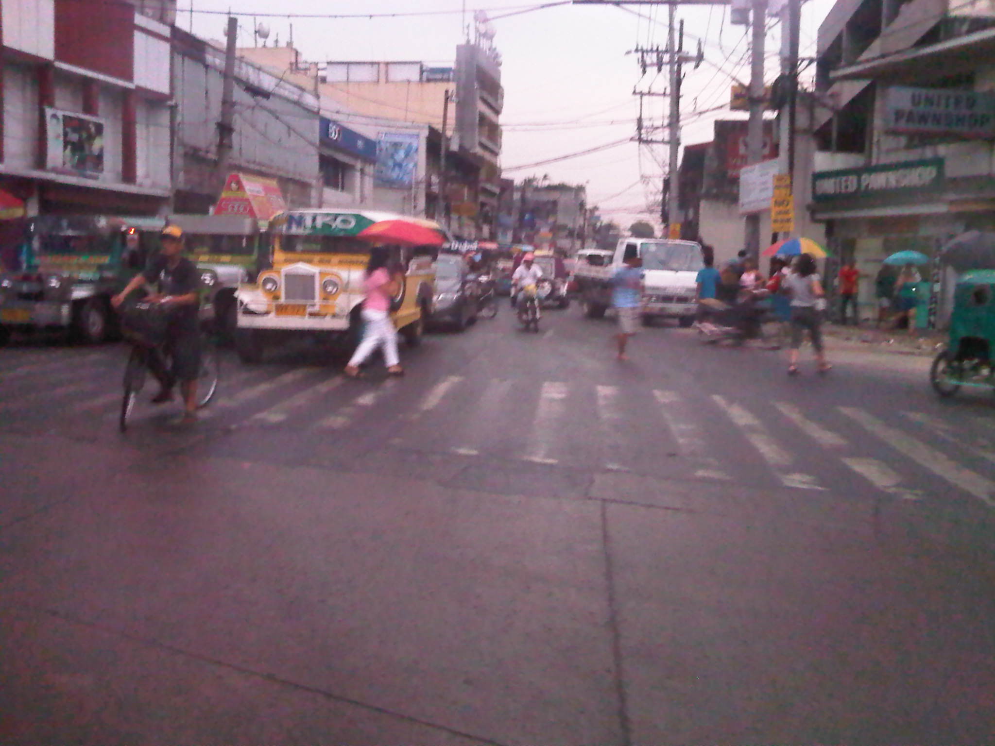 Intersection with Torres Bugallon – jeepneys crowd at the intersection and this often leads to congestion. Pedestrians cross anywhere and there are also pedicabs (non-motorized three-wheelers) roaming around that also contribute to the chaotic traffic.
 Roadworks along C-4 – also shown in the photo are shanties of informal settlers along the PNR right of way, which crosses C-4 at this point.
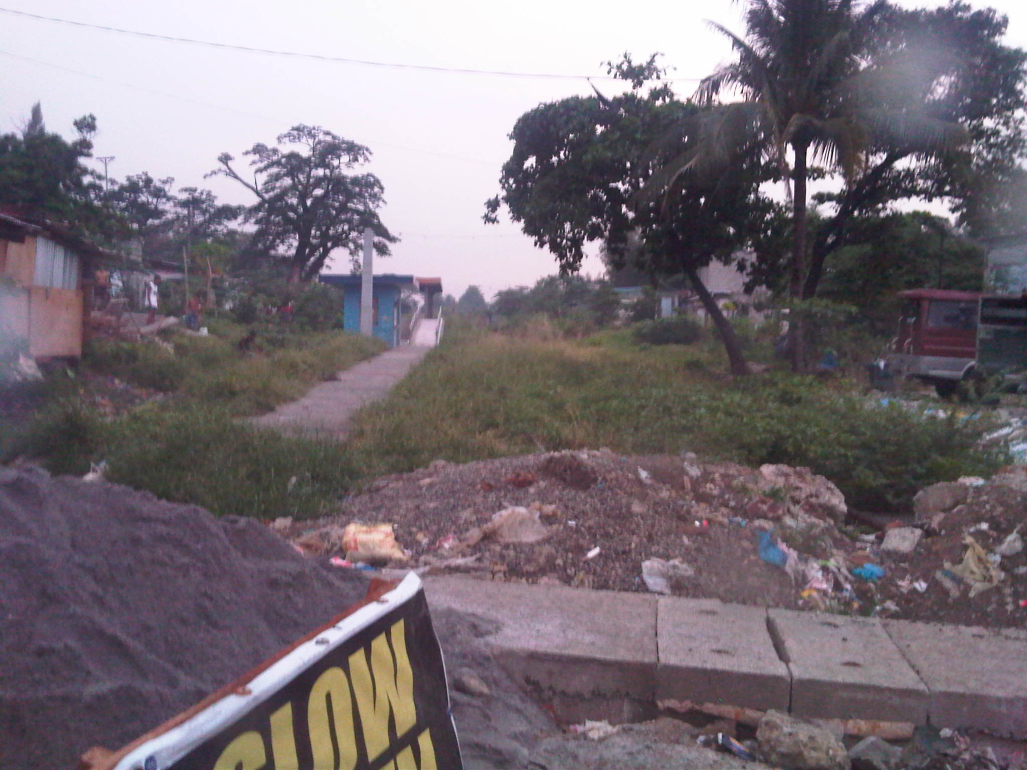 Remnants of the PNR’s Main Line North with a station a few meters from C-4. This should have been part of the proposed Northrail line connecting Metro Manila to Clark, Pampanga.
 Samson Road stretches along a very busy, much built-up district of Caloocan. Near Monumento, there are many big commercial centers including shopping malls around the rotonda known for a memorial for Andres Bonifacio, a national hero who led the revolution for independence from Spain in 1896.
 Samson Road is obviously a national road but tricycles are allowed to operate here; just one of the traffic/transport policies that accommodate such paratransit modes along roads where they are inappropriate.
 In order to address the vehicles counter-flowing or encroaching on the opposing traffic lanes and jaywalking problem, steel barriers were put up in the middle of the road. Overpasses like the one in the photo were constructed to enable people to cross the road. Notice the vehicles parked or standing along the road and on the sidewalks?
 Approach to Monumento with the obelisk at the center island of the rotonda visible at the center of the photo. Also shown in the photo at the roadside is a traffic sign informing travelers that they are approaching a rotonda.
–
Romulo Highway: San Clemente – Lingayen
Romulo Highway originates from Tarlac City and passes through the towns of Sta. Ignacia, Camiling and San Clemente in Tarlac, and then the towns of Mangatarem, Aguilar, Bugallon and in Pangasinan. It ends at Lingayen, Pangasinan, in essence connecting the capitols of two major provinces in Central Luzon (Region 3/Tarlac) and the Ilocos (Region 1/Pangasinan).
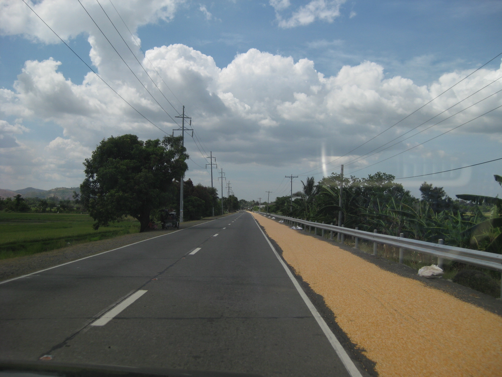 Solar dryers – a common sight along Philippine highways is palay spread out along the shoulders to dry naturally under the sun
 Good condition – pavements along sections of the Romulo Highway between San Clemente and Lingayen are generally well-maintained
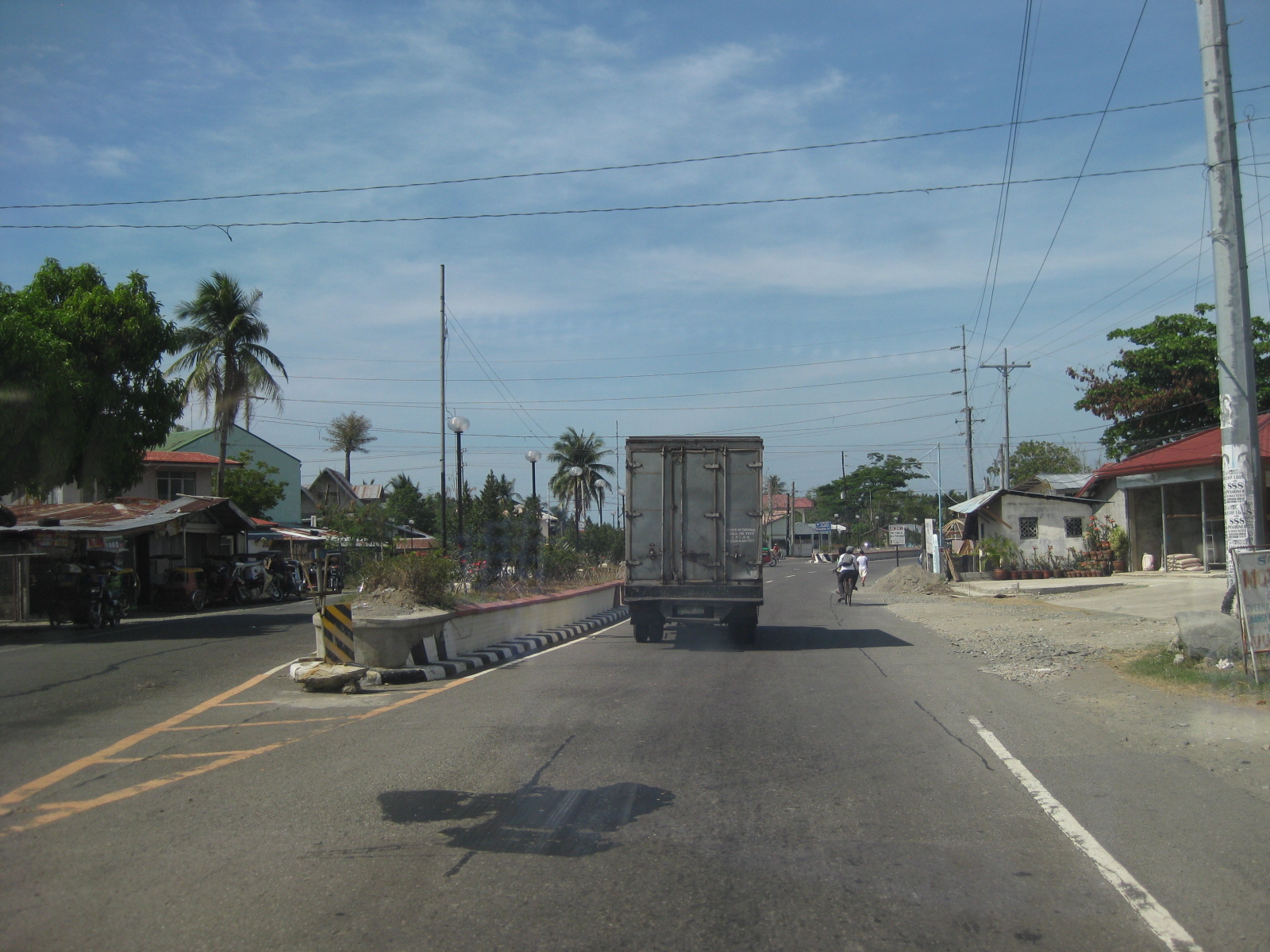 Approach to intersection – the island is part of the channelization at the junction to physically separate vehicles approaching the junction.
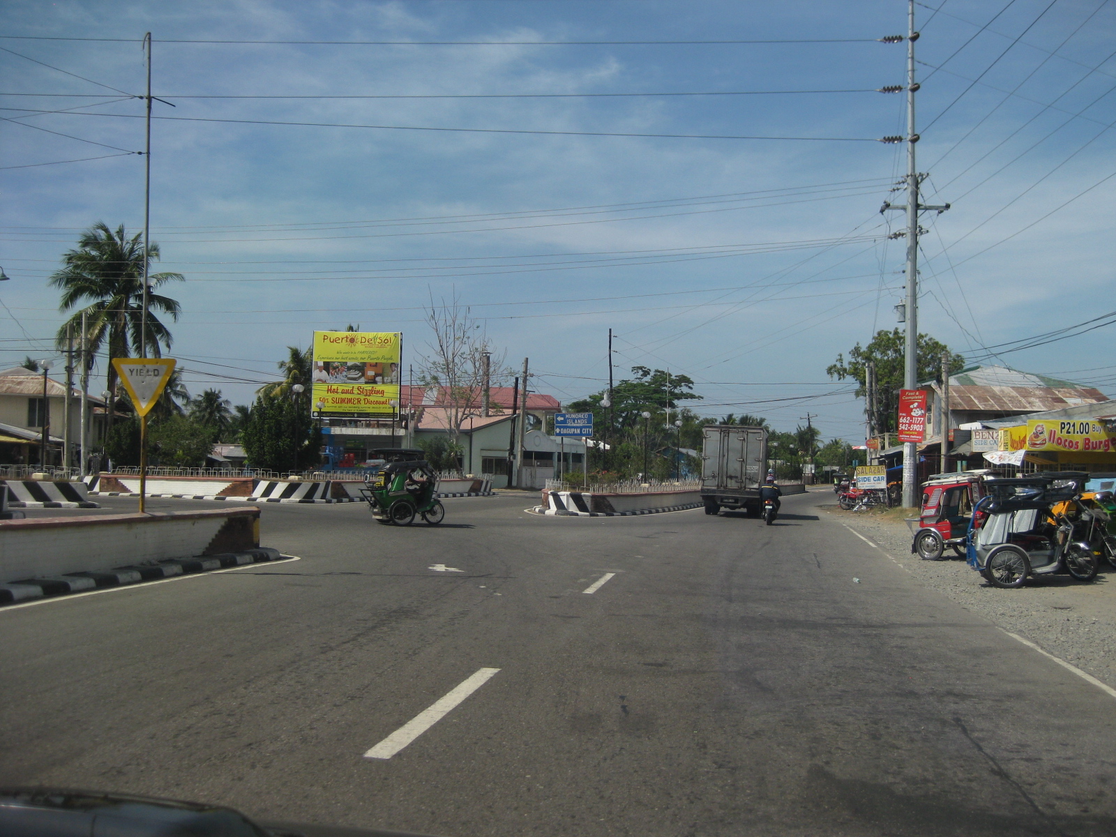 Channelization – the islands along with directional signs help guide motorists at the junction.
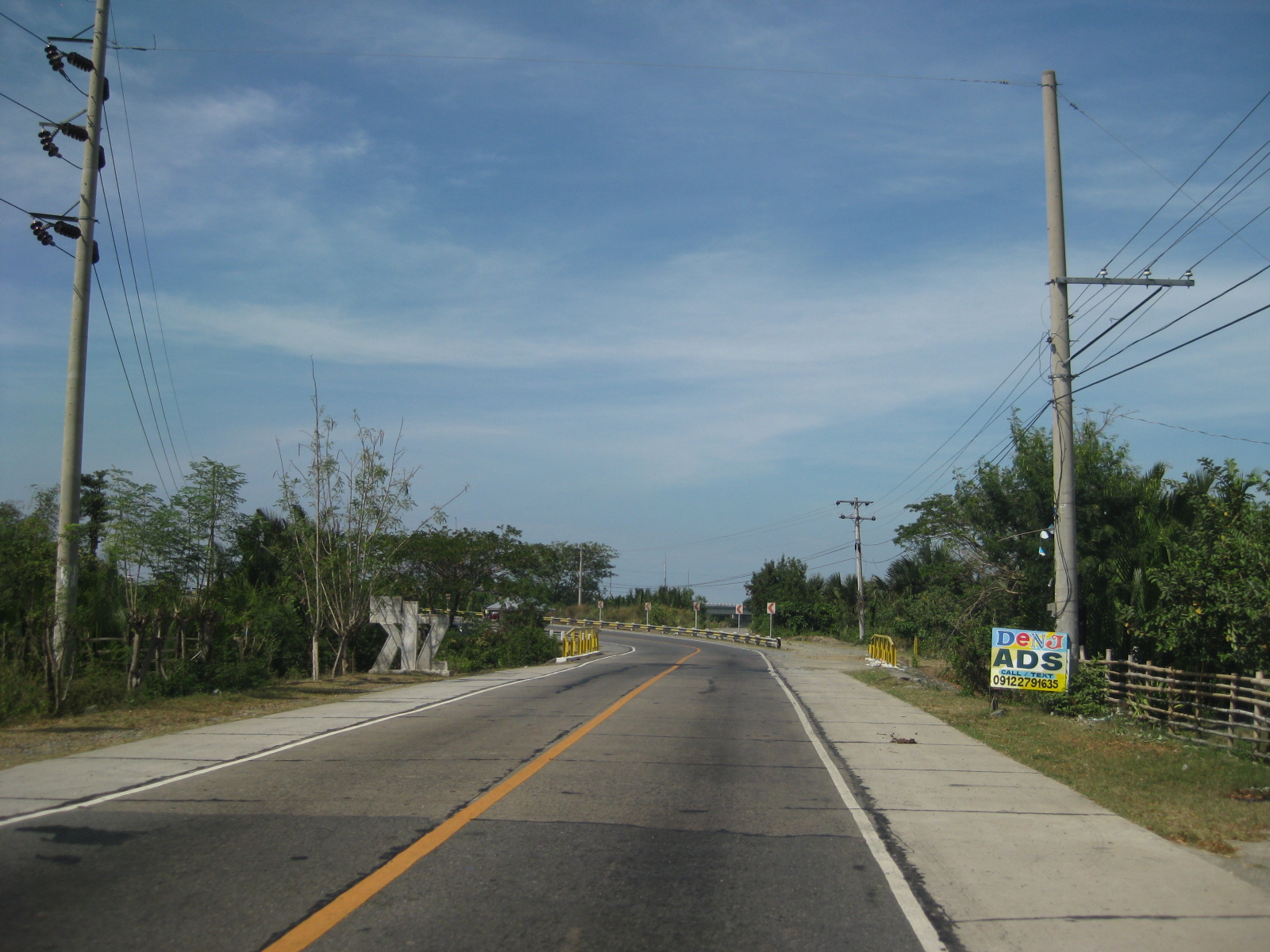 Approaching a curve – this section can be a little tricky with a climb towards a horizontal curve.
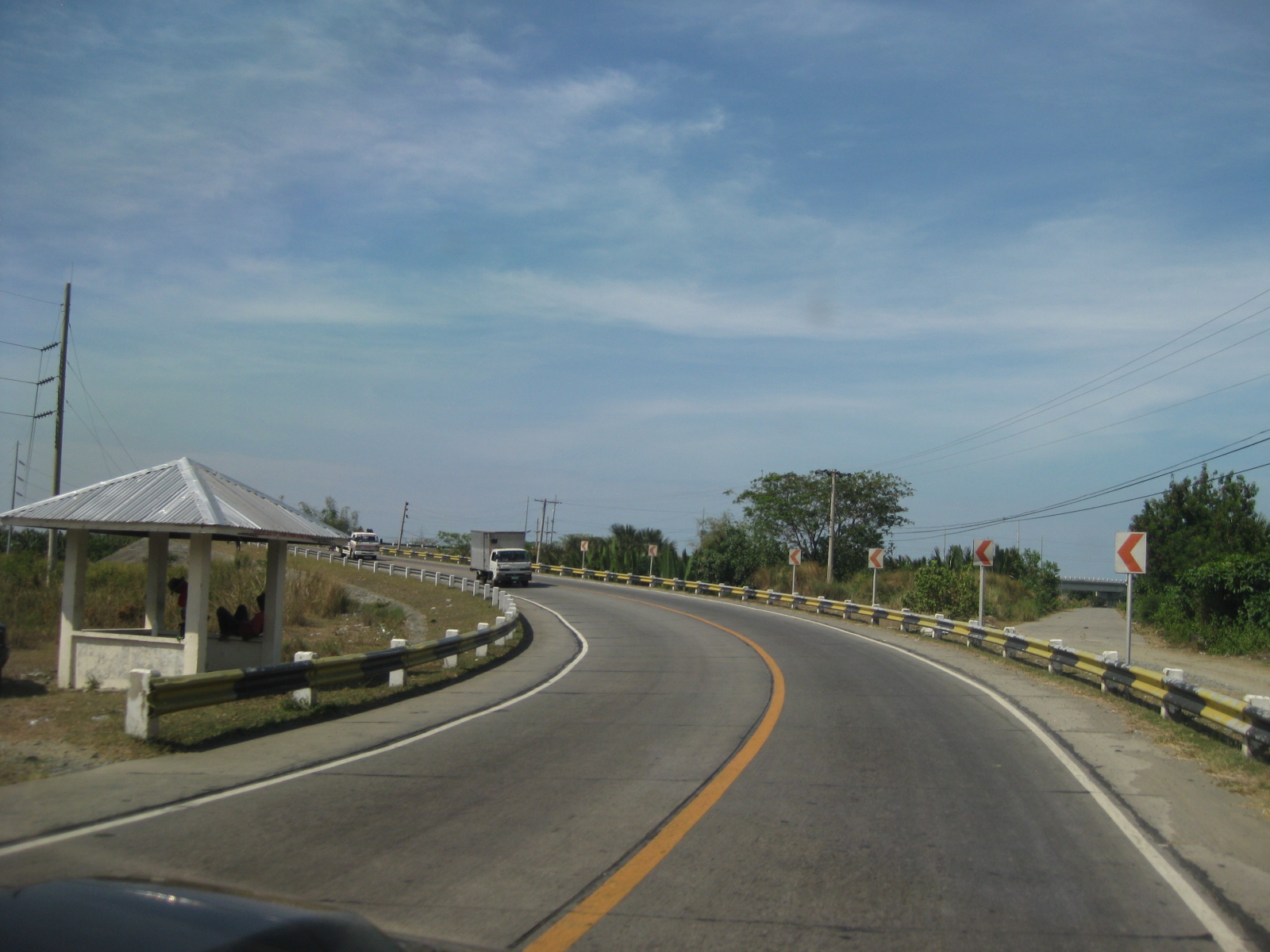 Sharp curve – the curve is sharp enough to necessitate the installation of chevrons. This is combined with a climb or descent.
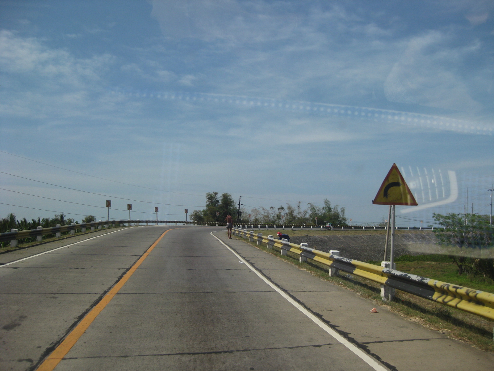 Reverse – it turns out that this section is actually a reverse curve, which increases the complexity of the section for drivers and riders.
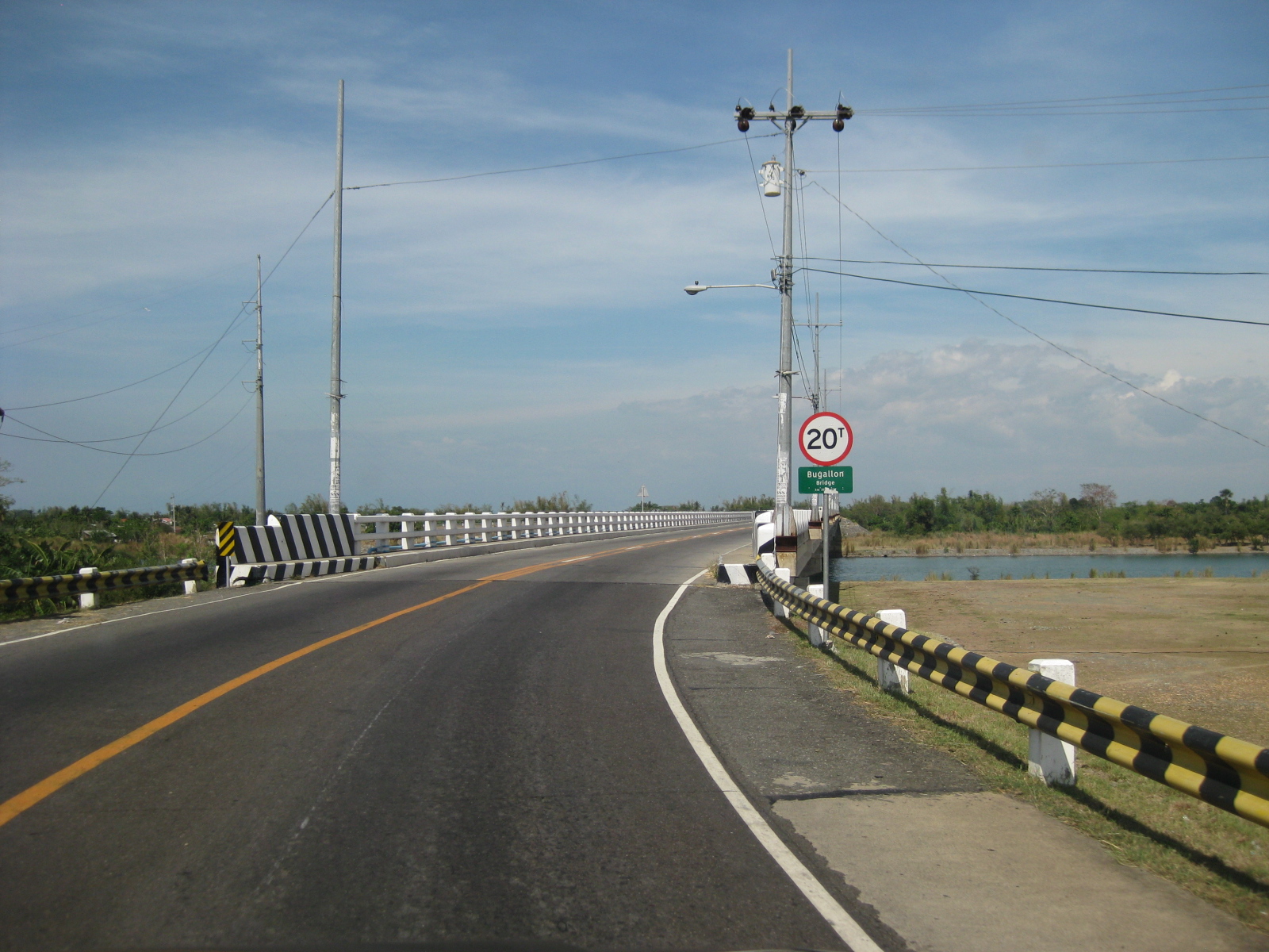 Transition to a bridge – the reverse curve leads travelers to the Bugallon Bridge across the Agno River (direction towards Lingayen). Note the 20-ton limit of the bridge indicating that it is a relatively new bridge applying the DPWH standards for load limits.
 Bugallon Bridge – is typical concrete bridge structure without an arch. Barriers are concrete and should be able to withstand collisions with most type of vehicles.
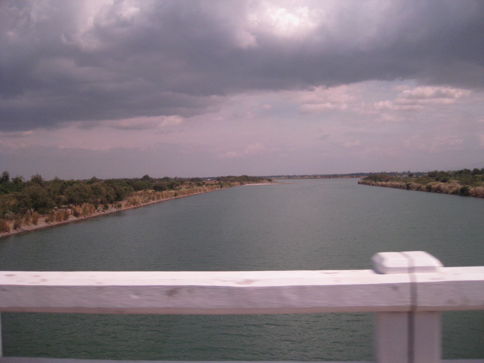 Agno River – is part of one of the larger river systems in Luzon Island and the country. The river becomes the Tarlac River when it branches out to Tarlac Province.
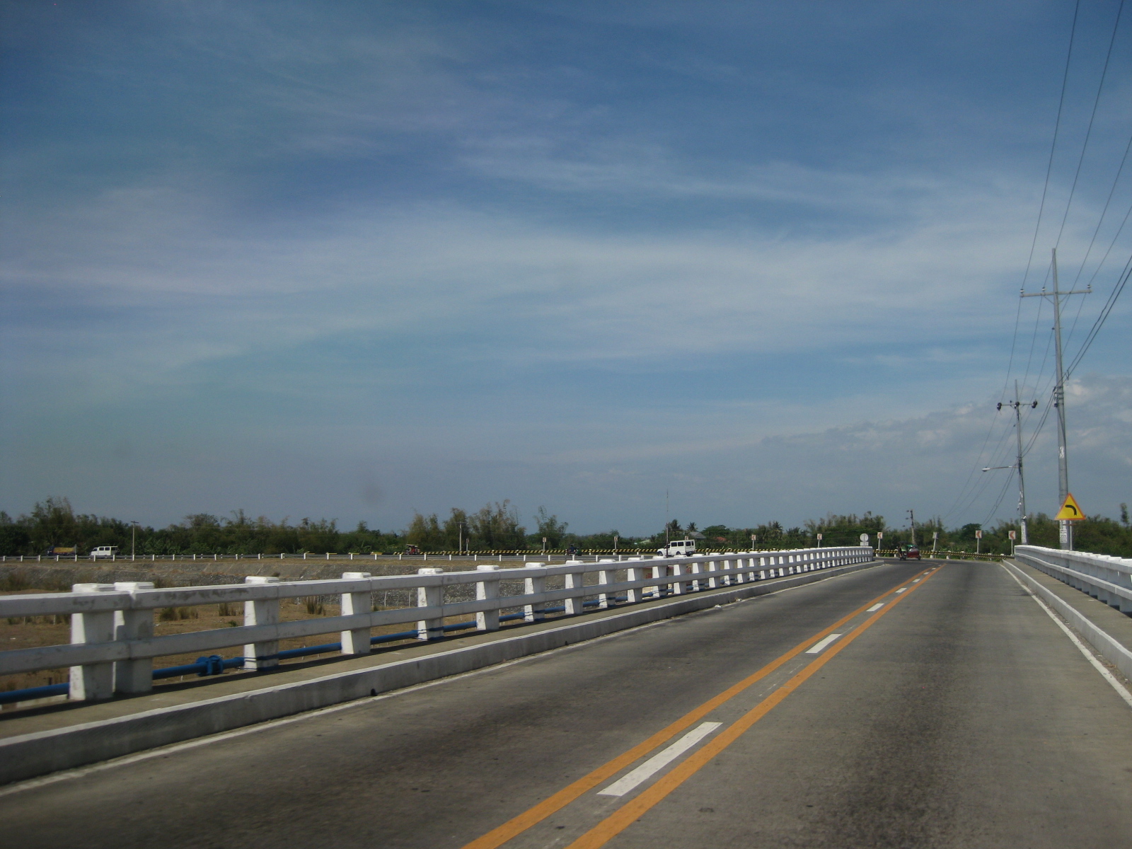 Bugallon Bridge – continuation of the long bridge terminating at an embankment that leads to another bridge towards Lingayen.
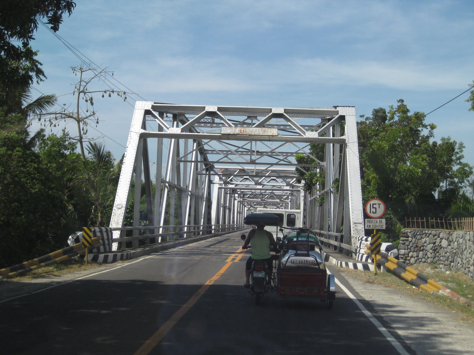 Padilla Bridge – is a steel truss bridge that is older than the Bugallon Bridge not only based on the form (many old bridges along national highways are steel truss bridges) but also on the load limit of 15 tons. The lane widths are also narrower than that of the Bugallon Bridge.
 Padilla Bridge – is longer than the Bugallon Bridge as it crosses a wider branch of the Agno River system.
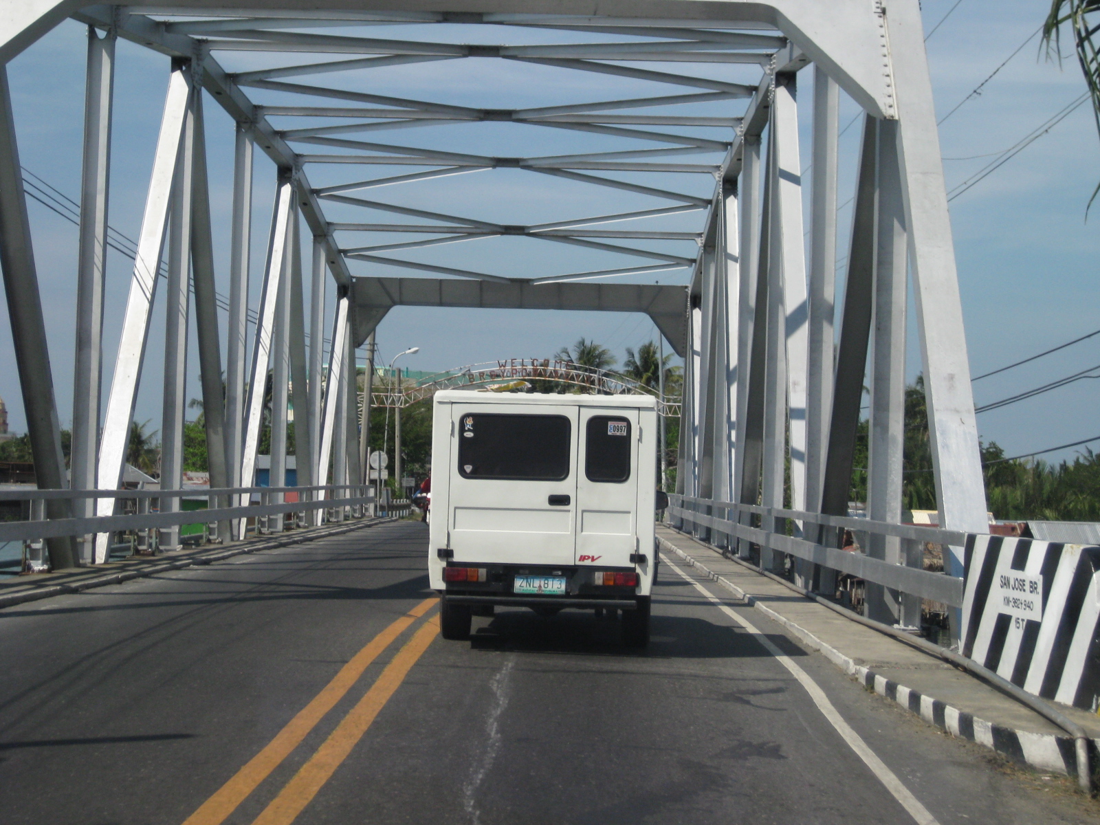 San Jose Bridge – viewed towards Lingayen from Bugallon is a relatively short steel truss bridge.
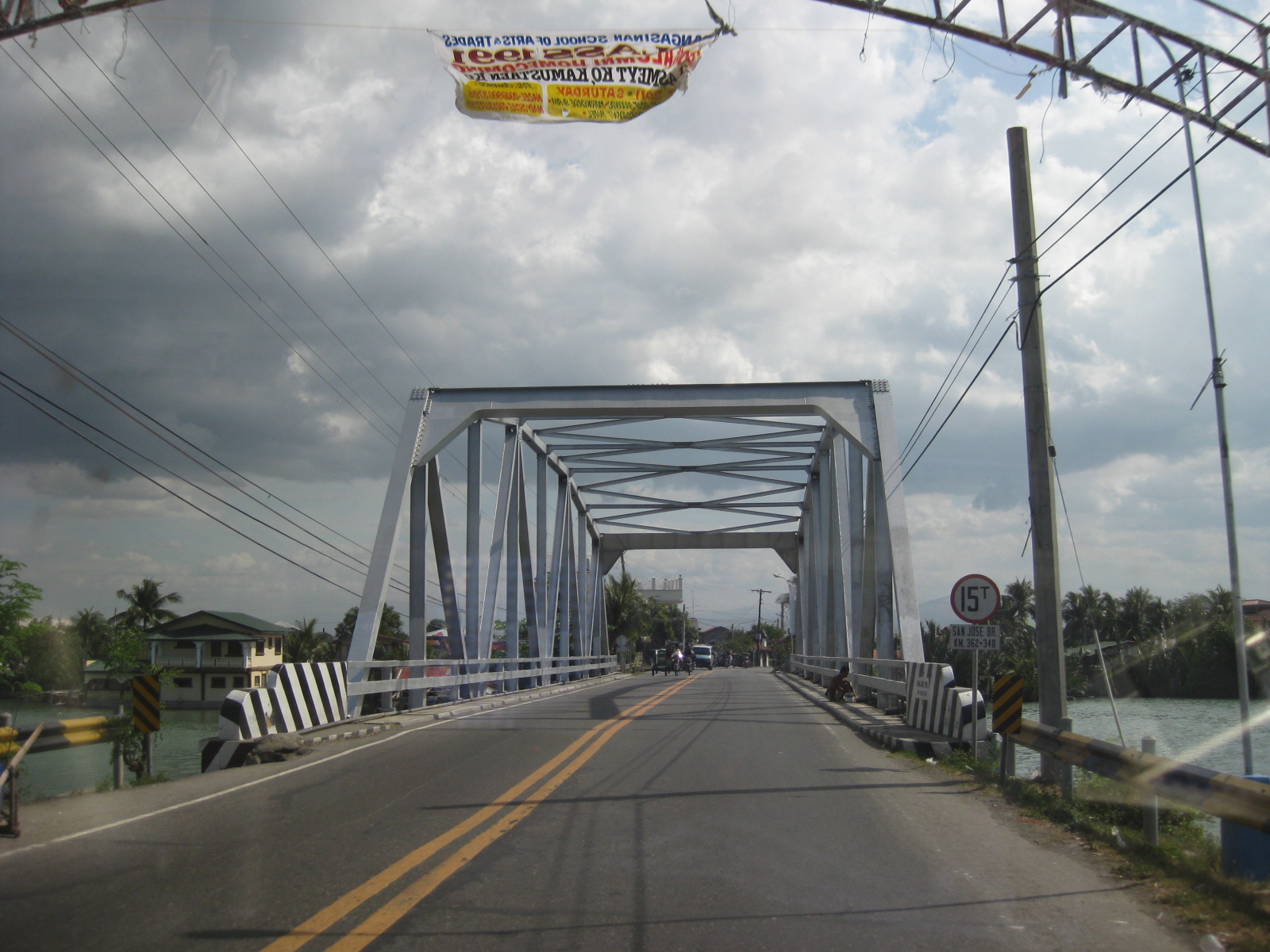 San Jose Bridge – view towards Bugallon from Lingayen is probably the same age as the Padilla Bridge. This bridge also has a 15-ton load limit.
 Crossroads – vehicles turning to the left will be headed back towards Tarlac through Bugallon and Mangatarem. Going straight will take the traveler to the towns of Labrador, Sual and the general direction of Alaminos and Bolinao. The SUV on the left is headed for Lingayen and Dagupan.
 Provincial boundary – a simple arch marks the boundary between Pangasinan and Tarlac. A little further downstream is another arch formalizing the boundary for the Municipality of San Clemente in Tarlac.
 First town after the border – San Clemente is the first Tarlac town along the Romulo Highway upon crossing from Mangatarem, Pangasinan.
–
Olongapo-Castillejos Road: Castillejos
The name of the town Castillejos translates to “little castle.” Such names are part of our Spanish or Castillan legacy, being under Spain for more than 300 years until 1898. Following are photos showing segments of the Olongapo-Castillejos Road within the Municipality of Castillejos.
 Double yellow – the twin solid lines emphasize the “no overtaking” rule for both directions of flow. Often disregarded in the Philippines, crossing over a double yellow will result in an apprehension and a ticket when driving in the US or Canada.
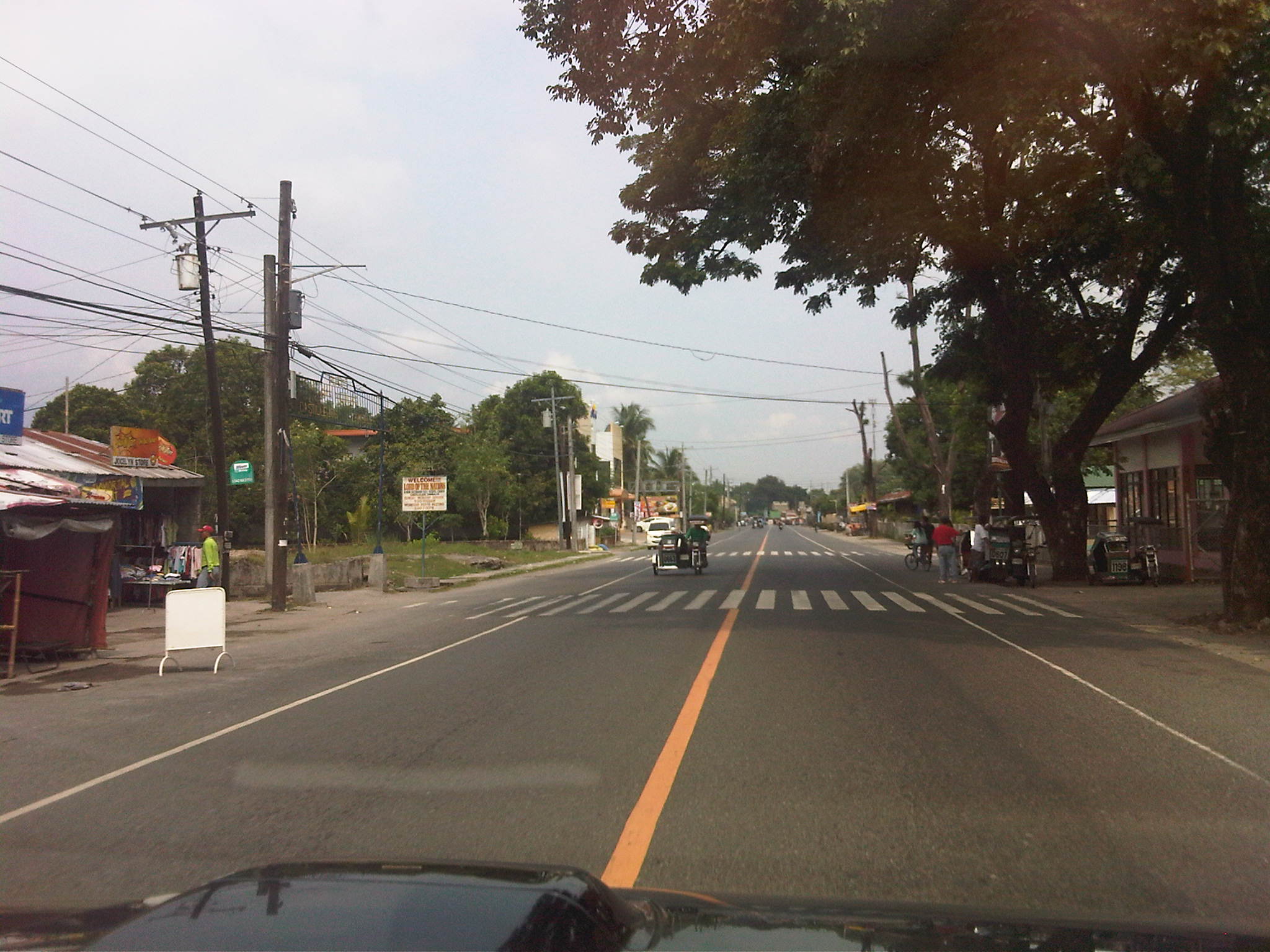 Single yellow on a straight section? – the single yellow line also means “no overtaking”
 Obstacle course – among the things people should expect or anticipate when traveling along Philippine roads are various checkpoints that tend to slow down traffic. Some are operated by the PNP or the Army as part of their security measures. There are also those by the DENR to check the transport of restricted items such as logs, corals, exotic animals, etc. Also, there are those set-up to slow down traffic due to the presence of schools or pedestrian crossings like the one shown in the photo.
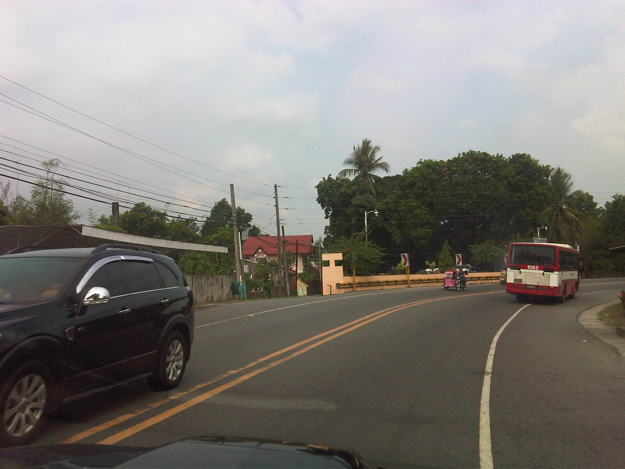 Turning – typical curve along the highway with the paved shoulders allowing for more maneuver space and improving sight distance
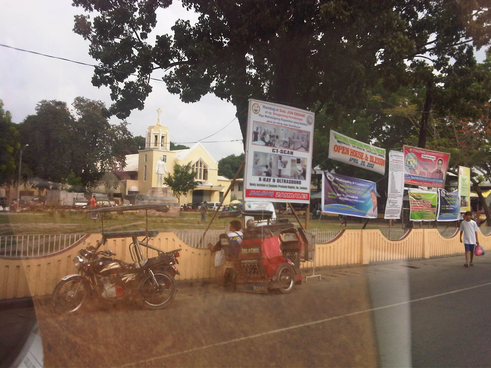 Town center – the poblacion or center of Castillejos is typical of most if not all old towns in the country with the Municipal Hall, Parish Church, local school and market are located together, and usually around or near a plaza.
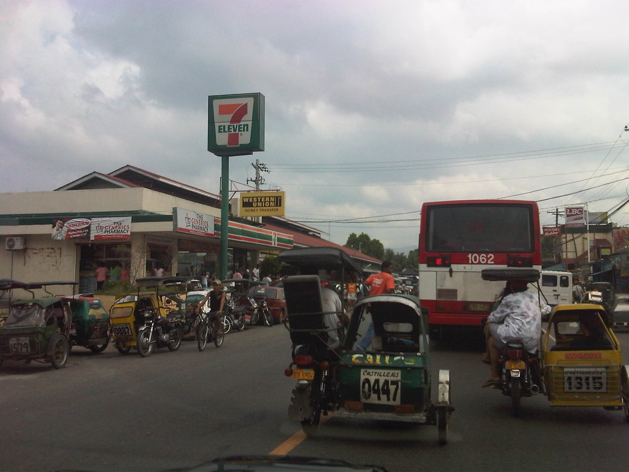 Tricycles galore – three-wheeled taxis everywhere around the market area. The location of the market along the national highway means local traffic during market days will surely impeded traffic flow.
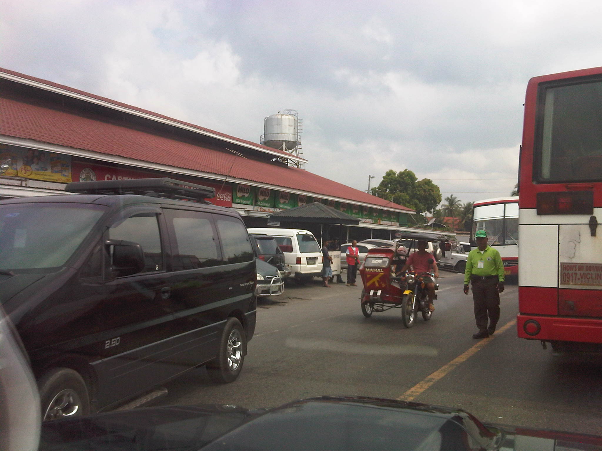 Marketplace traffic – it is common for travelers to encounter congestion due to the presence of a town’s market along national roads. There are enforcers like the one in green in the photo but they are usually helpless and reduced to managing for the maneuvers of parked vehicles or helping people to cross the road.
 Opposite congestion – after passing the market area, we were relieved that we could proceed with much less congestion. Traffic along the other direction would have to contend with the congestion.
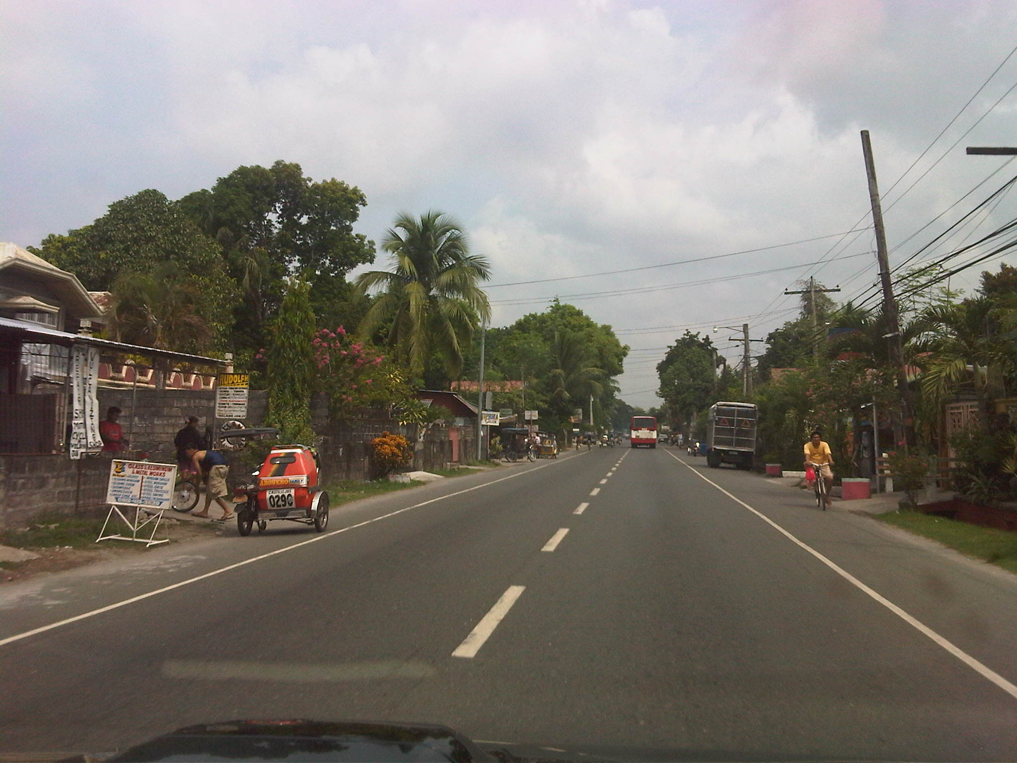 Usable shoulders – we were pleased to see that the shoulders were paved and in excellent condition. Such cases allow for walking and cycling off the carriageway such as the example shown by the cyclist on the right. Tricycles would also be able to pull to the side to avoid impeding general traffic. A concern though would always be parked vehicles on the shoulders.
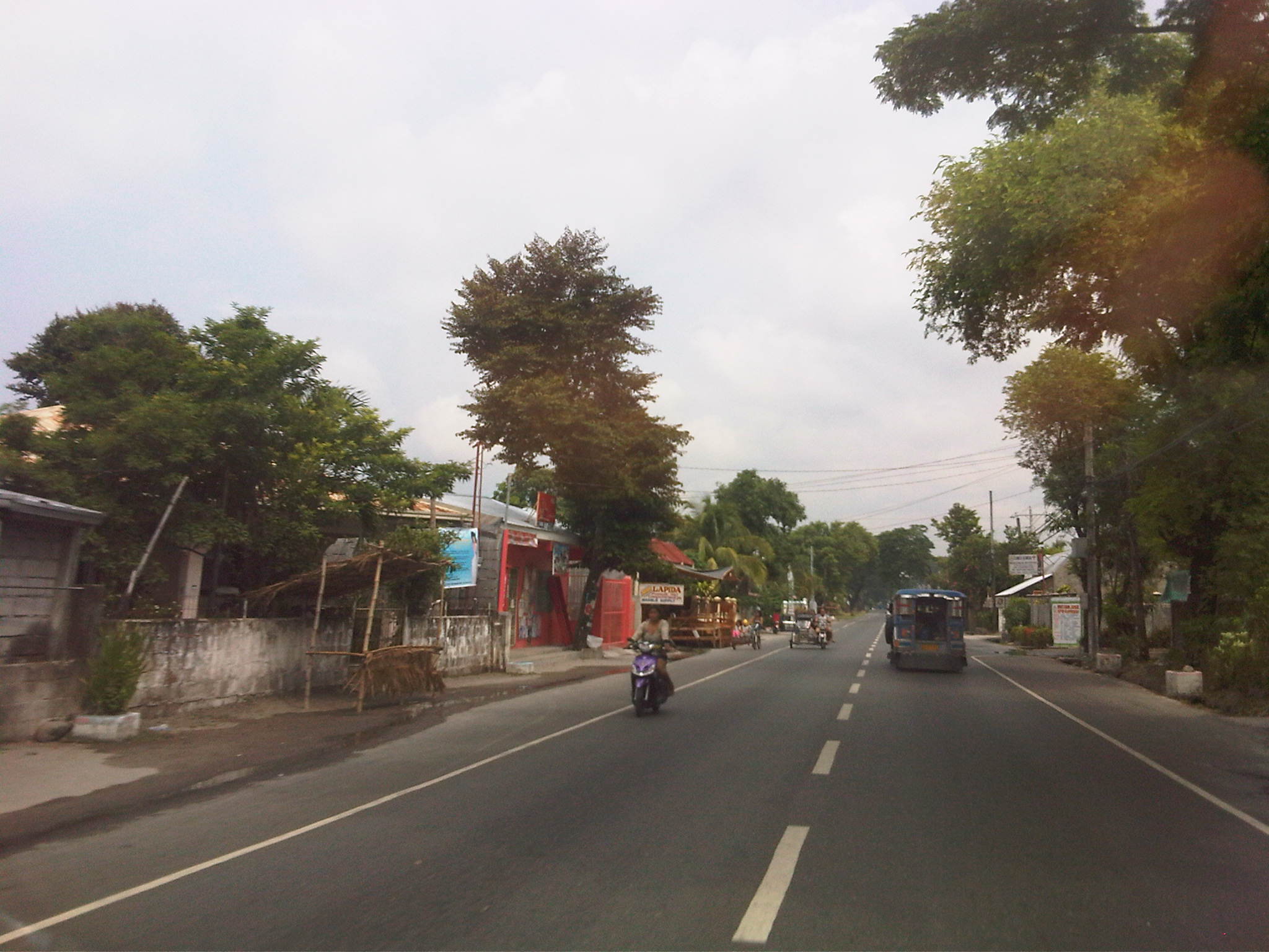 Minimal encroachments – we were also pleased to observe that there were few properties encroaching upon the RROW along the highway, especially in populated or built-up areas like the one shown in the photo above. Such is not the case with many other towns where stores, shops and houses practically dominate shoulder space and even take up parts of the carriageway.
 Free flow – these tricycles seem to be racing and could actually pick up speed even with passengers in the cab, probably due to the straight level road and the excellent pavement as shown in the photo. The shoulders are paved and should be sufficient for tricycles to use in order to not impede the flow of other vehicles.
 Unimpeded flow – the photo above shows further proof of minimal encroachments on the RROW and especially along the shoulders, which are paved and usable.
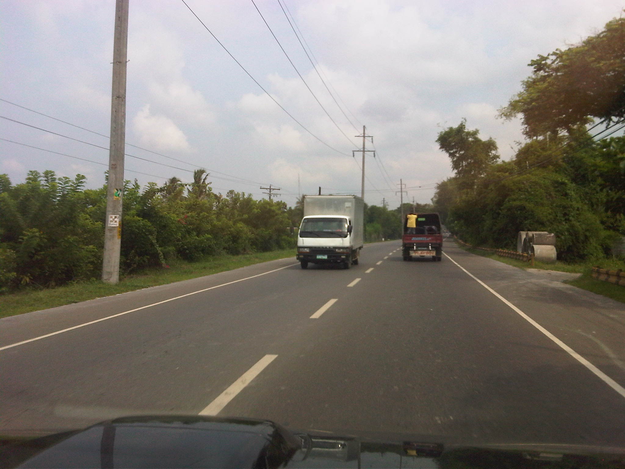 Light traffic – traffic was quite light along the highway the time that we traveled.
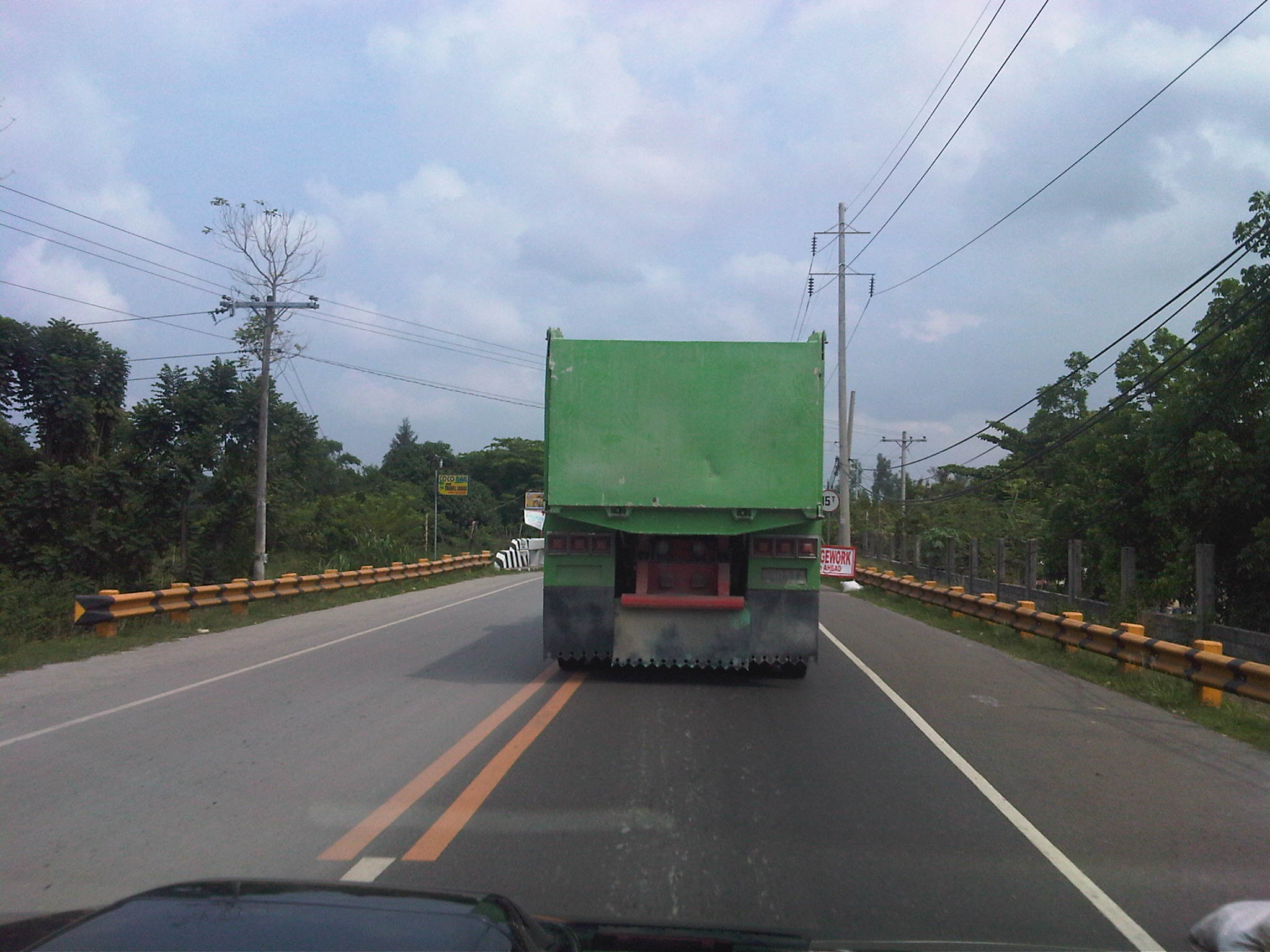 Bridge ahead – the roadside barriers and the signs already visible from a distance inform motorists of the bridge ahead. We didn’t see any advance temporary signage for the construction site that would have been ideal to advise motorists about the work site.
 Detour – the sign speaks for itself but seems to have been placed quite late into the approach to the bridge construction site.
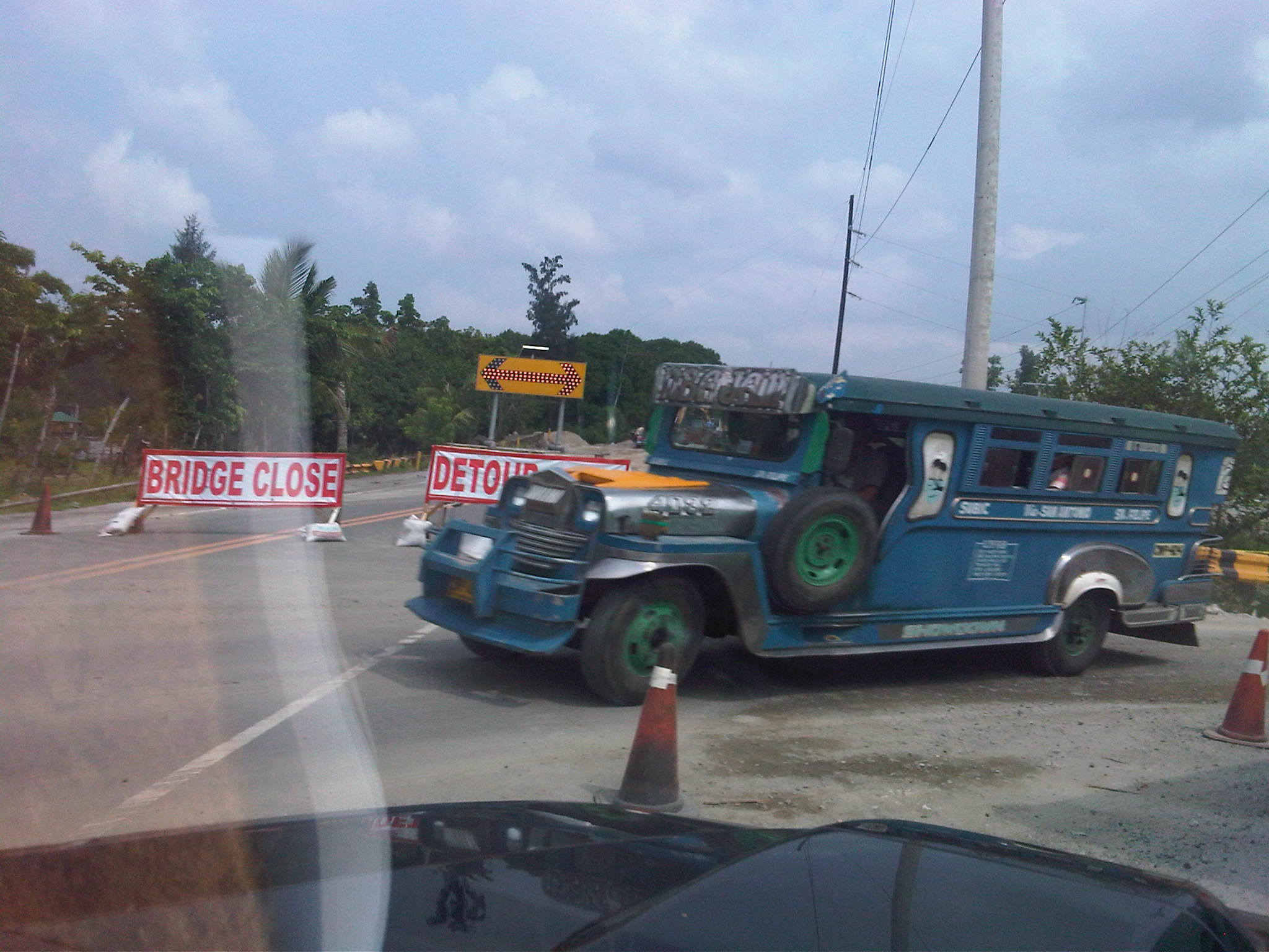 Blocks – signs block the way towards the bridge under construction along the highway while a jeepney emerges from the temporary diversion road.
 Sight distance? – while there is sufficient sight distance along the diversion road, there are cones along the middle of the road to discourage overtaking.
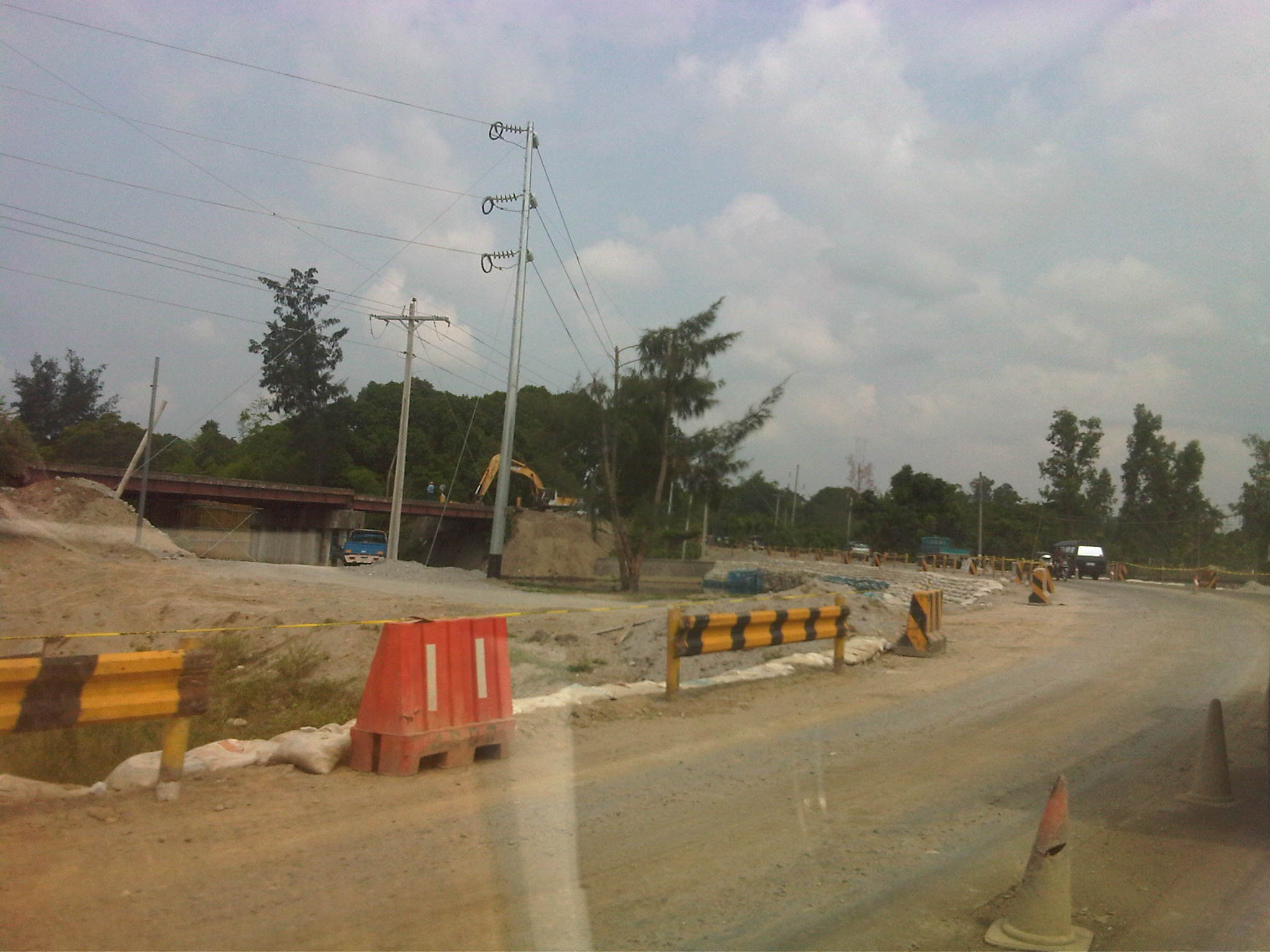 Gravel surface – the temporary diversion road was well-graded and wasn’t that rough unlike many other roads built for such purpose.
 Steel structure – steel girders laid across the river and on top of the columns in the middle.
 End support – a backhoe was working on material to reinforce the embankment at the northern approach to the bridge.
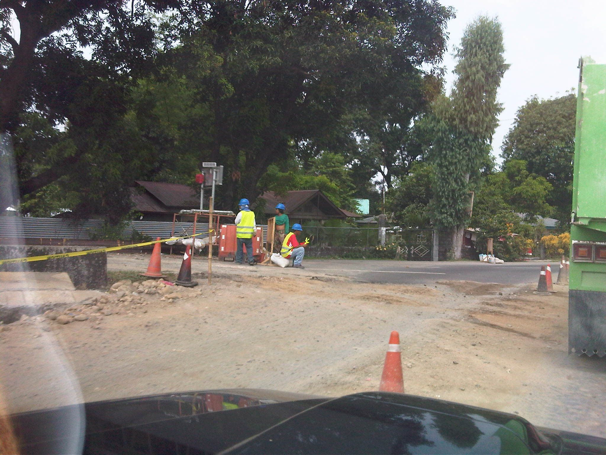 End of the road – the diversion road, that is, at the other end of the bridge.
 Boundary – arch symbolizing the gateway to the next town of San Marcelino.
–
Road and drainage works along A. Tuazon Ave., Marikina
Driving to the dentist on a Saturday morning, I came across roadworks along Angel Tuazon Ave. in Marikina City. The road connects the Marikina portion of Sumulong Highway with Marcos Highway in the Pasig/Cainta area and was also known as Fernando Sr. Ave. at one time. With the completion of works along Marcos Highway and Imelda Avenue, I was happy to see another road near my residence getting some much needed attention.
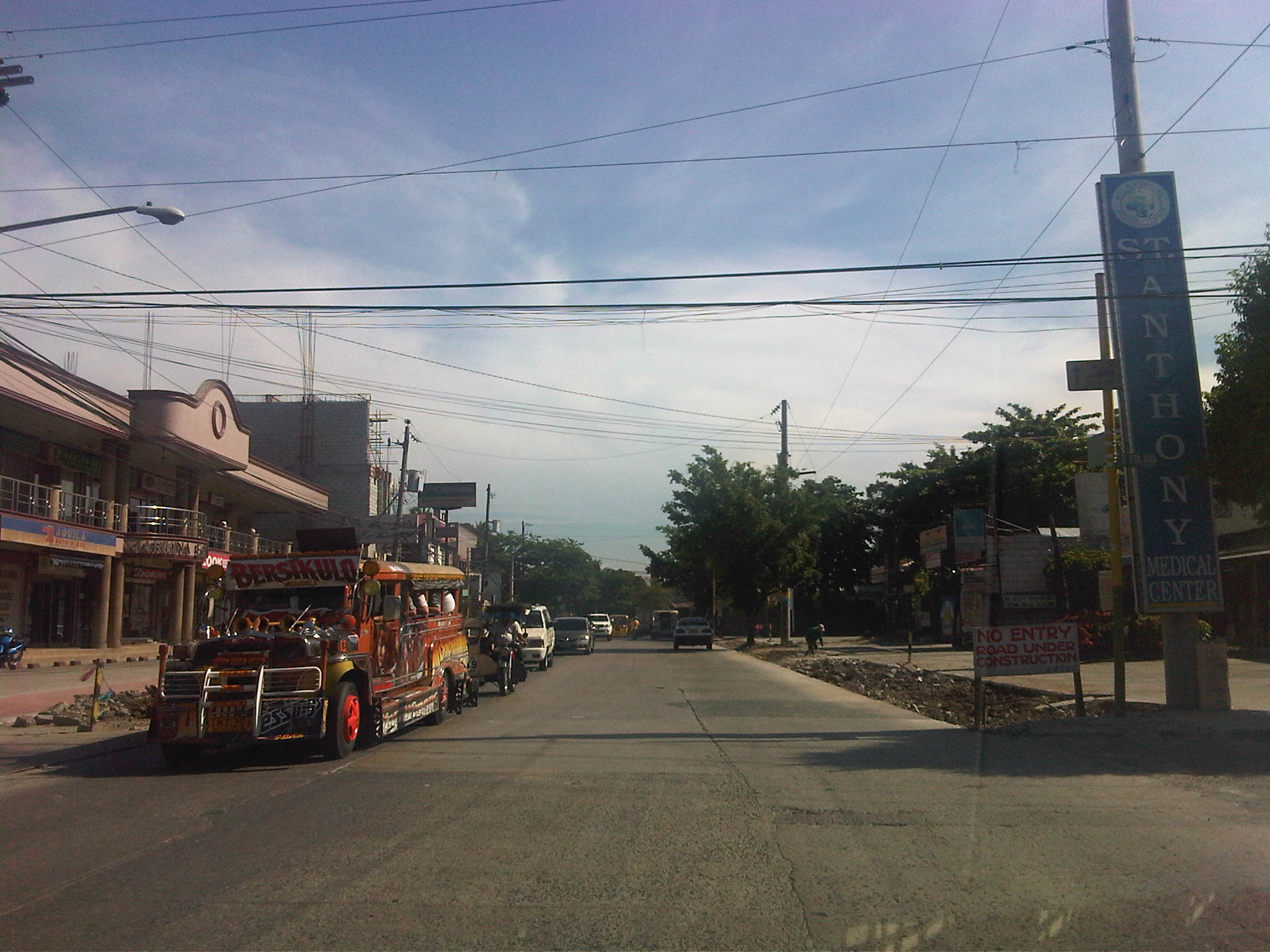
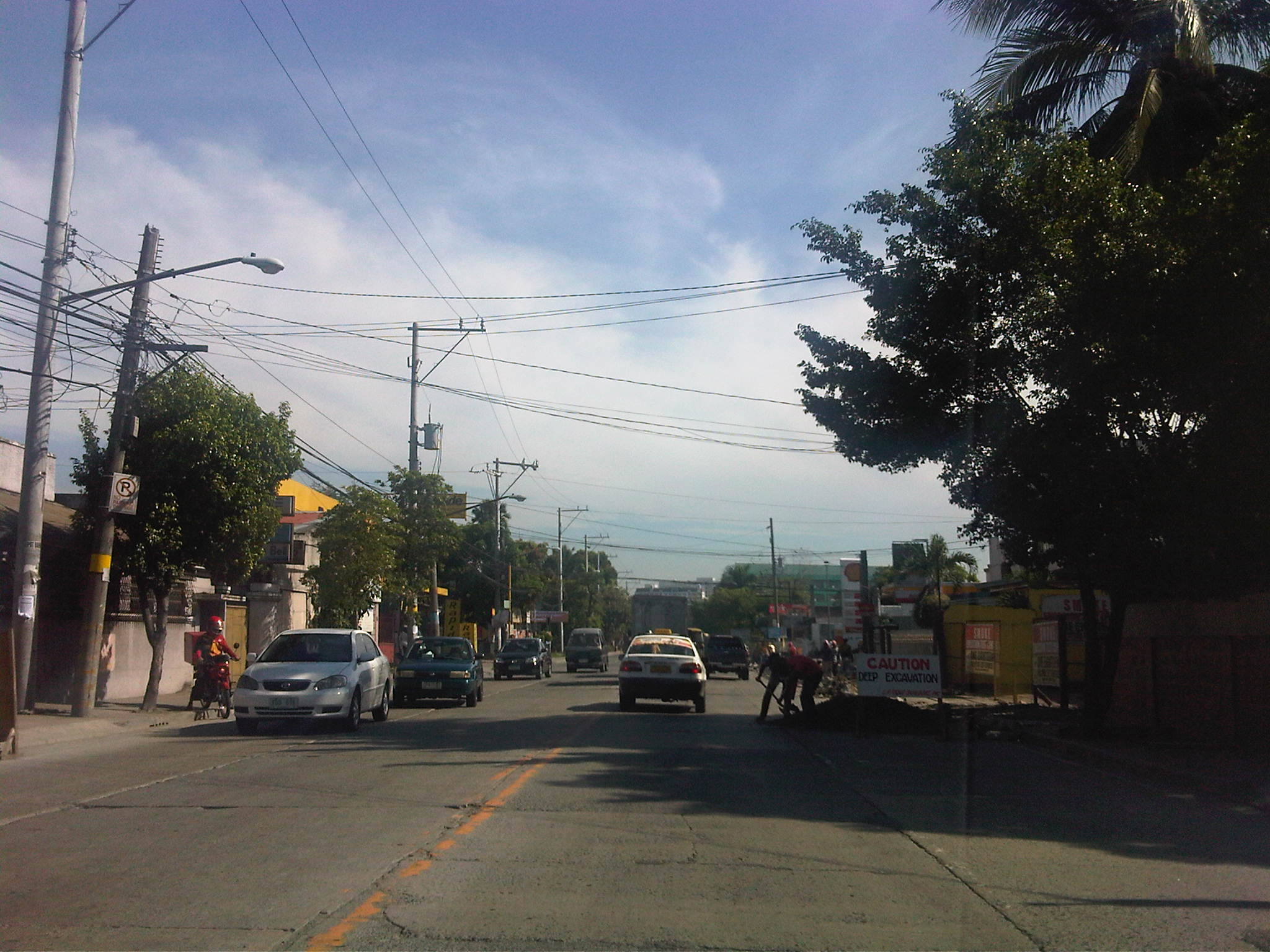
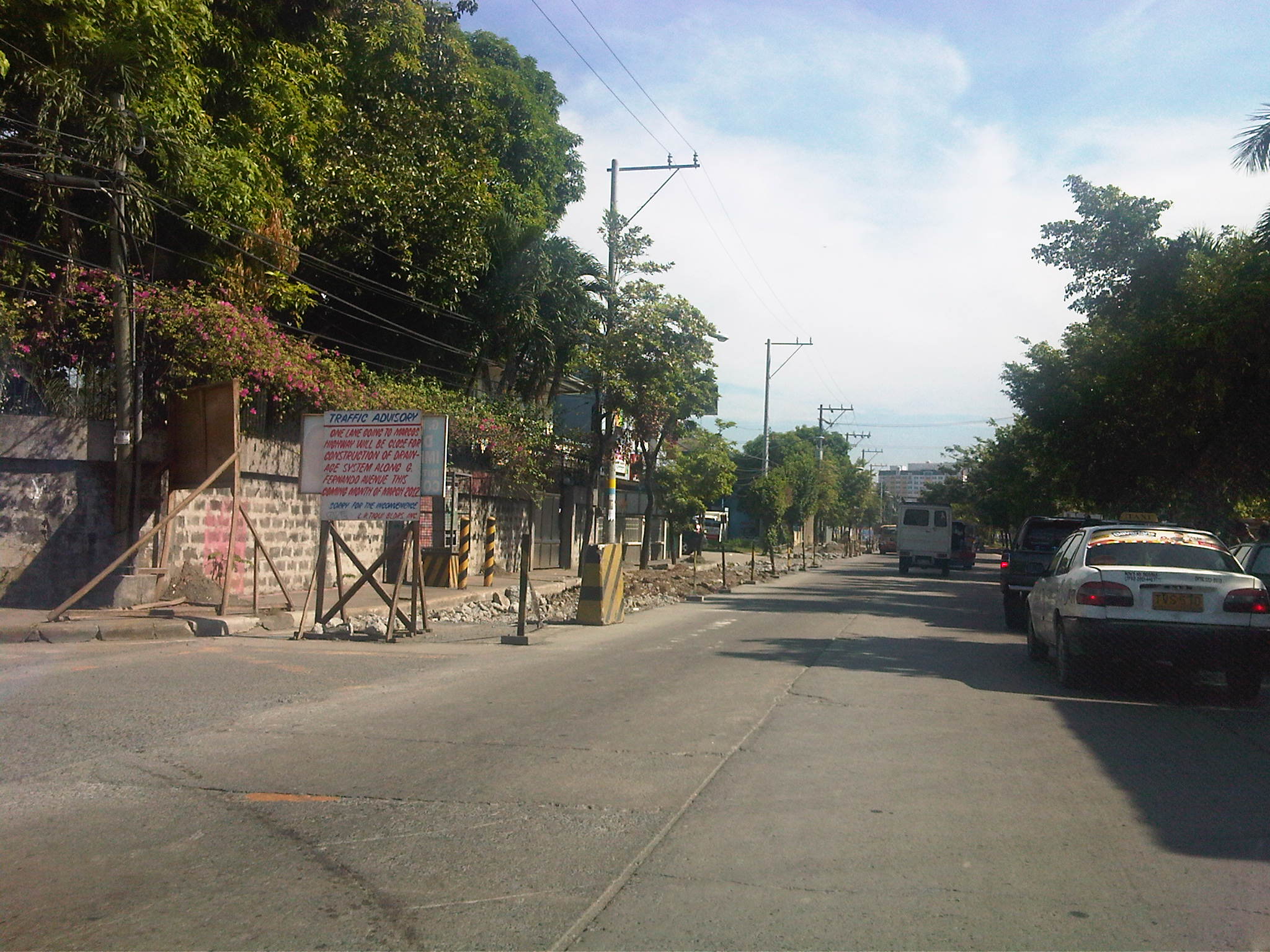
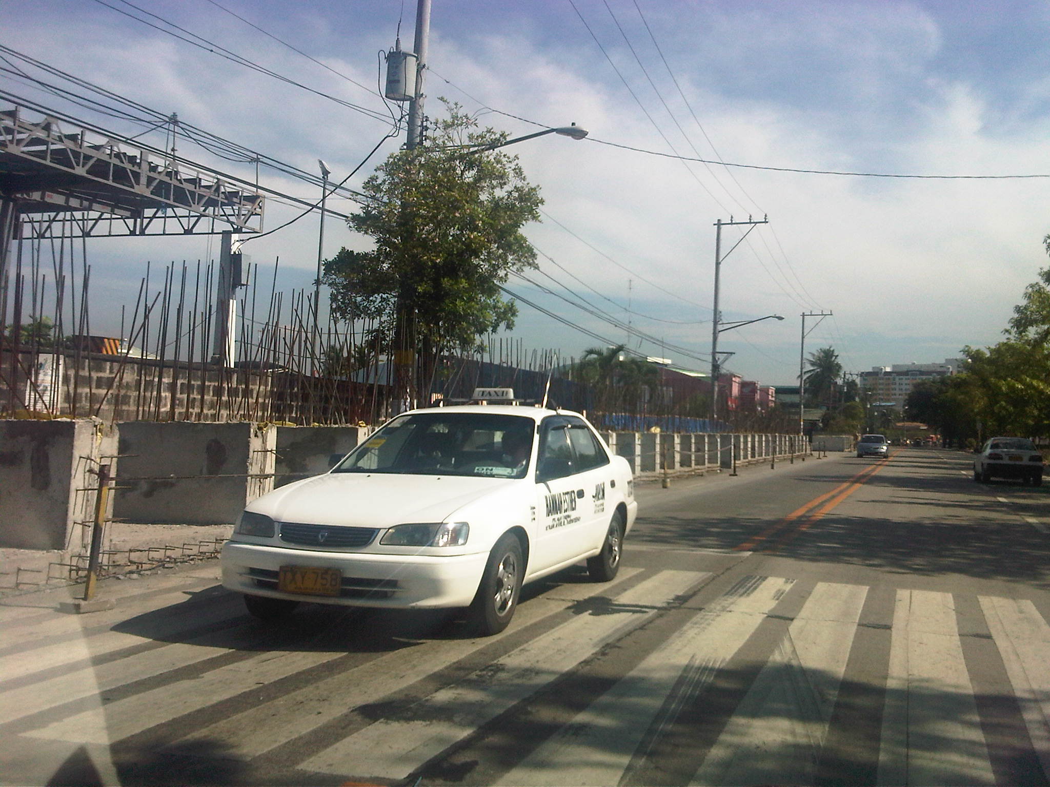
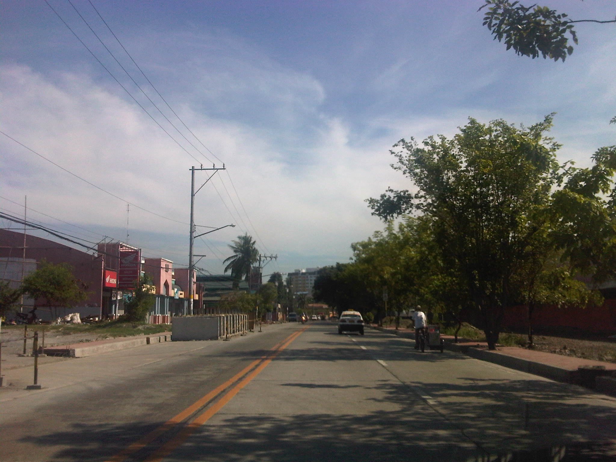
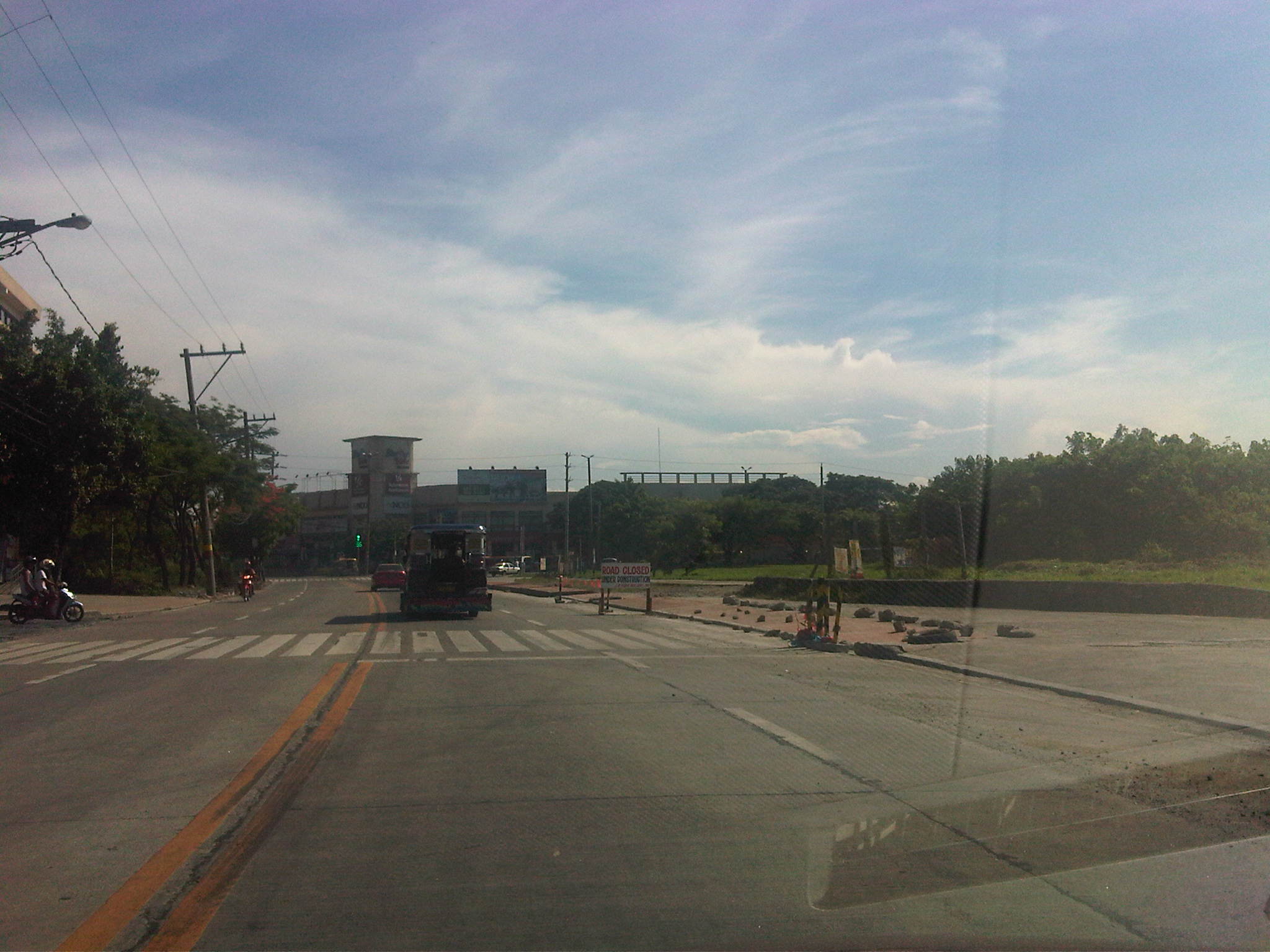
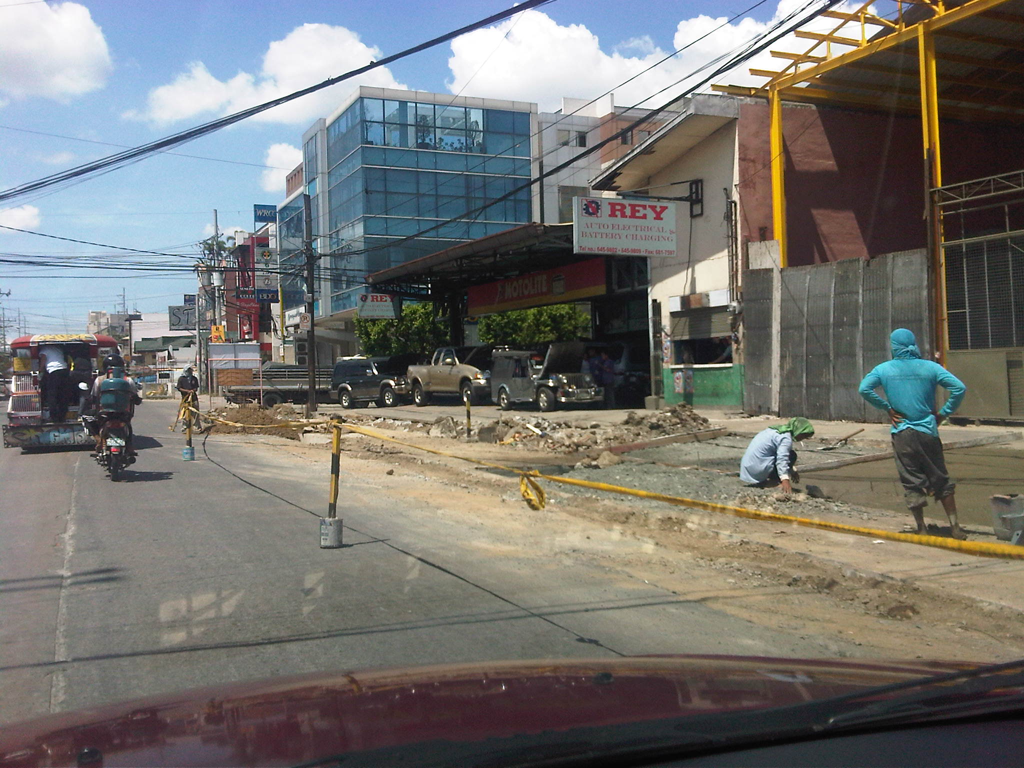
I thought that the works were just for the rehabilitation/concreting of damaged or weather pavements but it turned out to be something of a larger scope that includes drainage/flood control. The following photos were taken along the stretch of A. Tuazon last Saturday. Shown in the photos are road repairs, re-blocking/re-paving, drainage works and sidewalk construction in various stages of implementation. By the looks of it (there were a lot of people working along different sections of the avenue) the project will finish in time for the opening of school in June. Kudos to Marikina leaders for doing their jobs in this road and area that are usually subject to flooding during times of severe rain.
 1
1
 2
2
 3
3
 4
4
 5
5
 6
6
 7
7
 8
8
 9
9
 10
10
 11
11
 12
12
 13
13
 14
14
 15
15
I didn’t bother to put captions on the photos as they pretty much speak for themselves.
–
Olongapo-Castillejos Road: Subic
I took the following photos en route to the venue of our annual planning workshop. This year our office went to San Antonio, Zambales and our trip allowed me to photograph road conditions and characteristics along the Olongapo-Castillejos Road, which is a national highway. Like most Philippine highways, one will notice the operations of the ubiquitous tricycle, a motorized three-wheeled paratransit mode popular and dominant in many towns and cities.
 City limits – boundary of Olongapo City and Subic municipality with one of the most colorful arches I’ve seen along a national road
 Rounding the curve – some congestion due to the slow-moving trailer carrying a backhoe/excavator
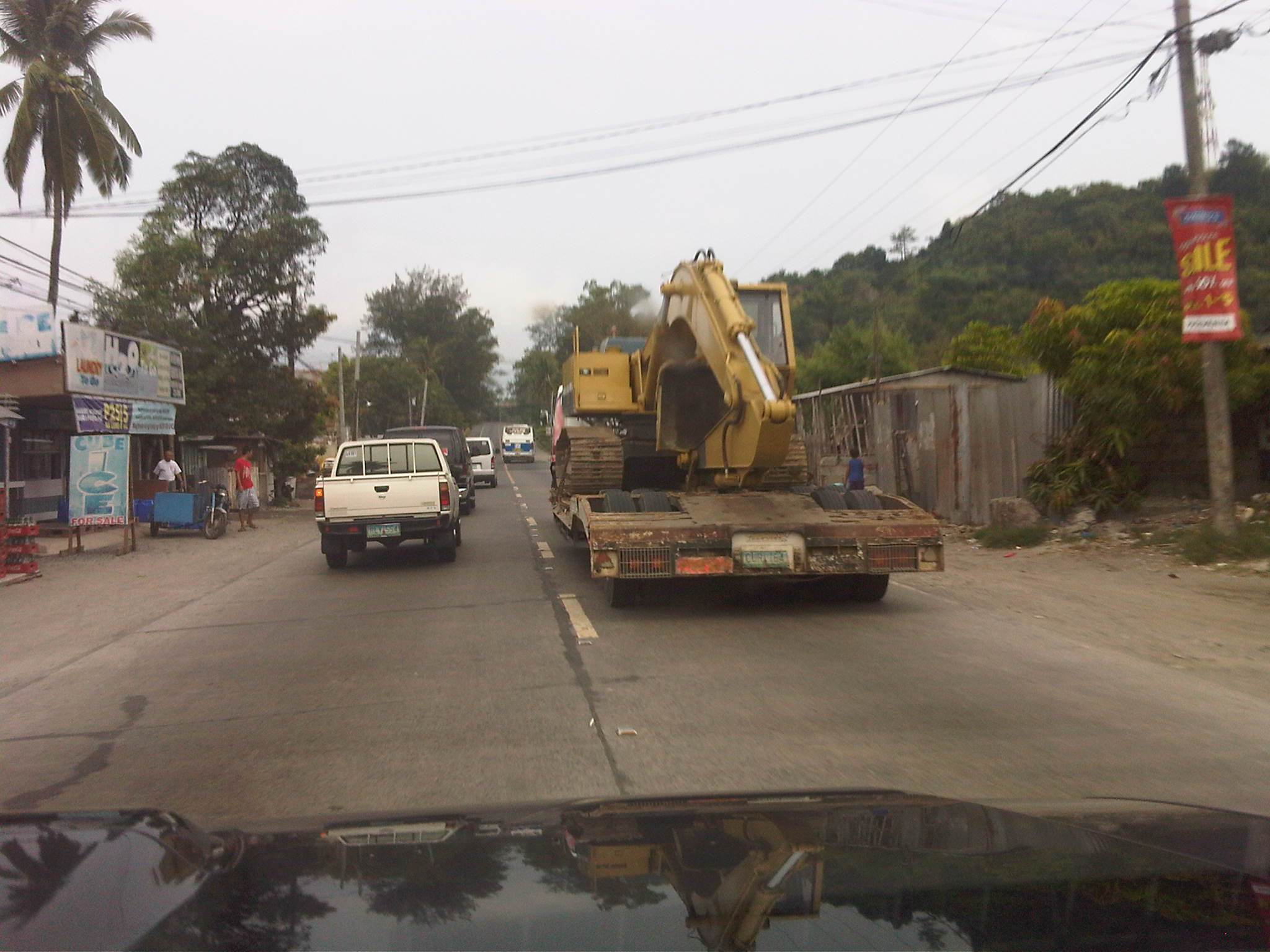 Passing distance – a platoon of vehicles passes the slow-moving truck. With no vehicles along the opposing lane, many vehicles succeed in the passing maneuver
 Regional buses – including mini-buses tend to stop anywhere along their routes and tend to cause congestion like pedicabs, tricycles and jeepneys
 The real Subic – Municipal hall of Subic town. People always refer to Subic as the former US naval base; the area of which was carved out from the provinces of Zambales and Bataan. In reality, no part of the Subic Freeport is in Subic town and the name comes from the bay rather than the town.
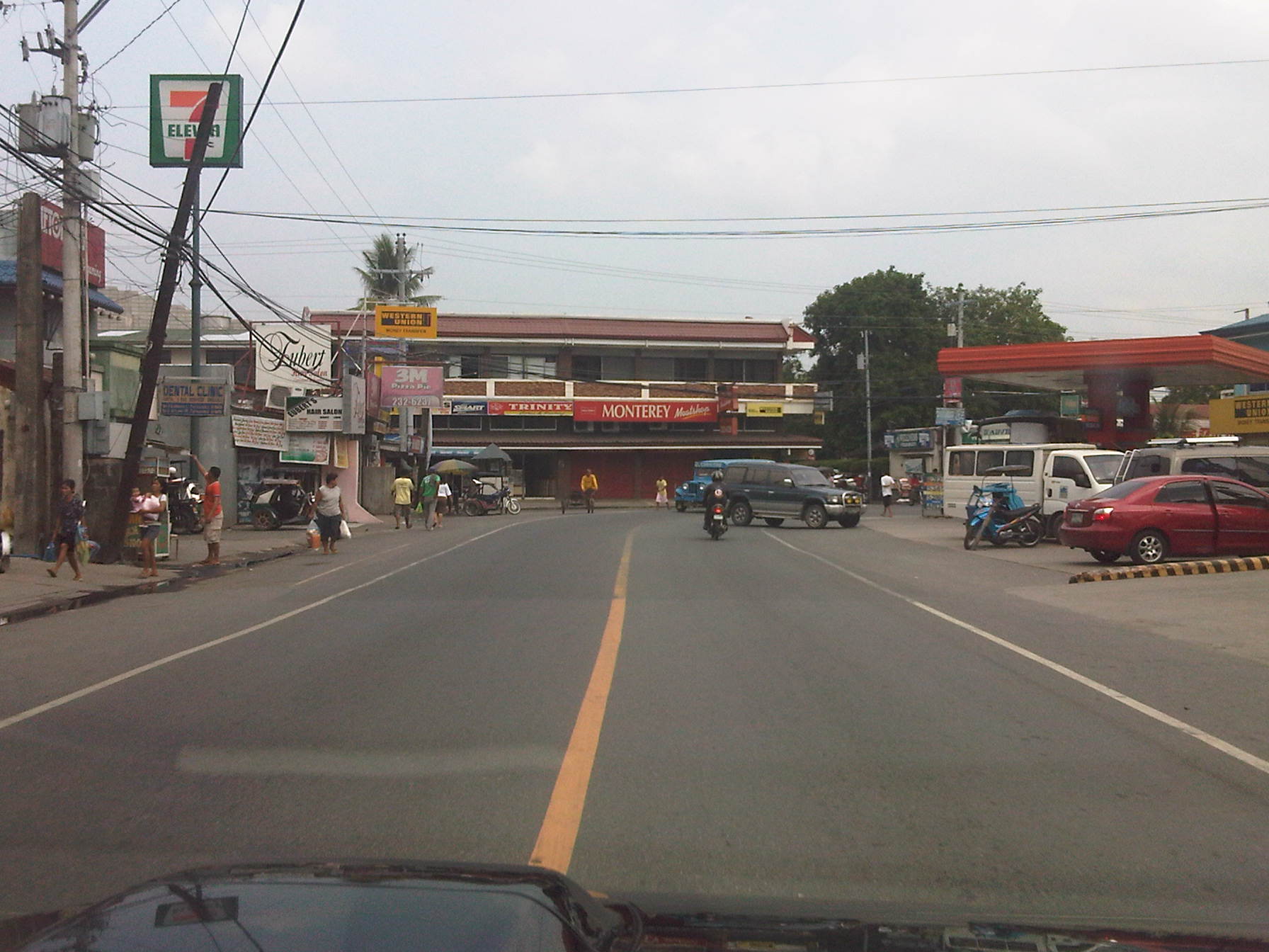 Good roads – the roads along the national highway were mostly in good or excellent condition including those in the CBD or bayan
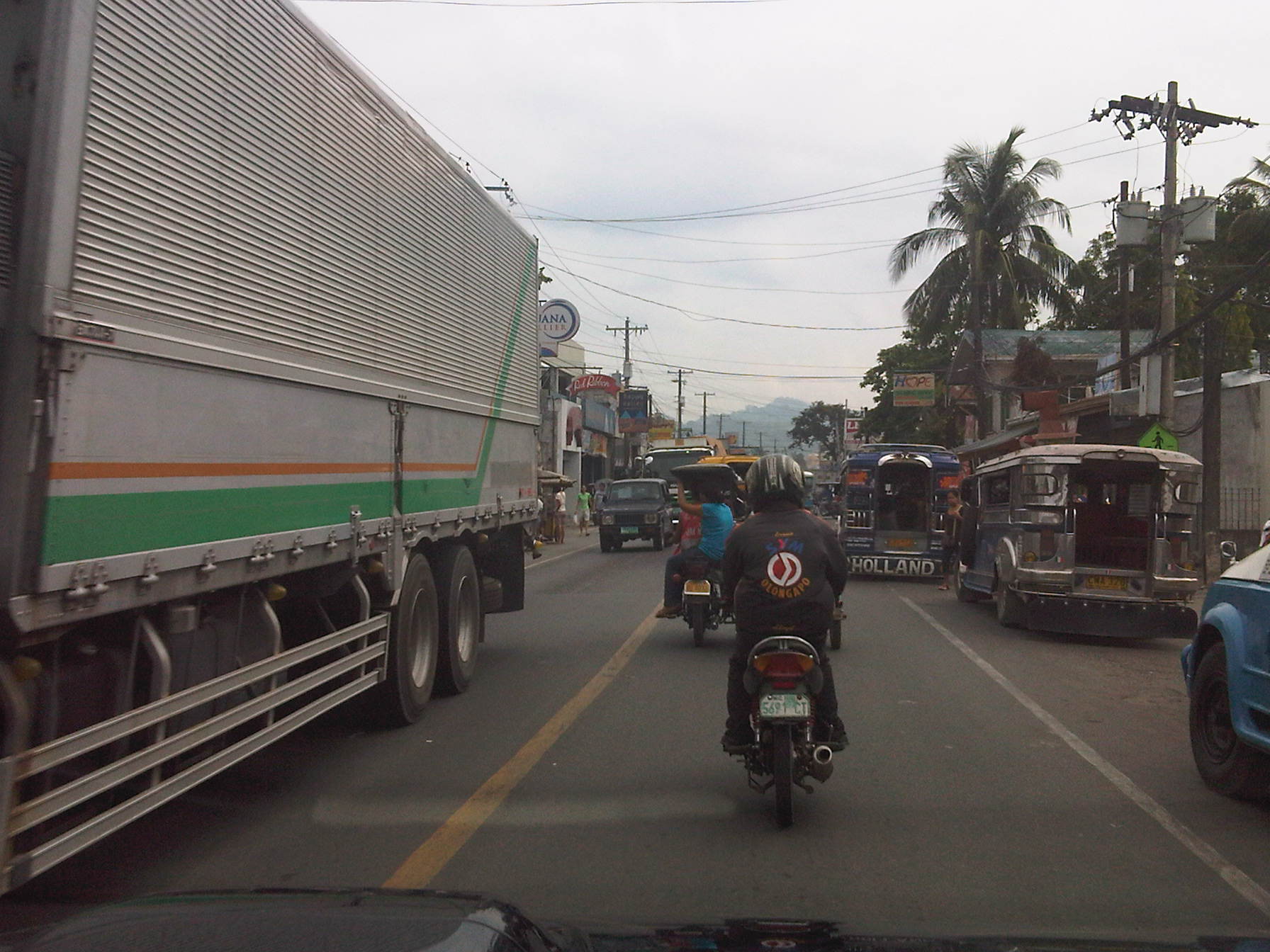 Busy streets – traffic was relatively heavy along the highway at Subic
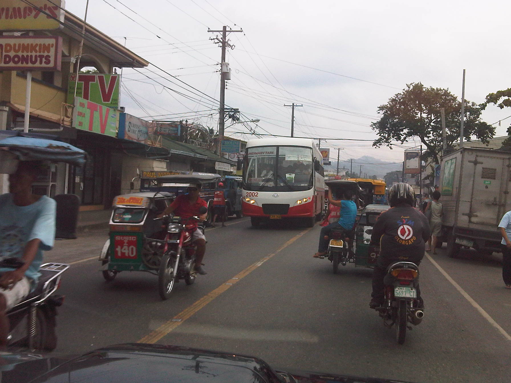 Mixed traffic – aside from the typical jeepneys, tricycles and motorcycles everywhere, there were a significant number of buses and trucks
 Parade of tricycles – like most towns around the Philippines, roads are often dominated by local traffic most especially tricycles that are used for public transport in even large cities
 Air conditioning? – we came upon this tricycle carrying a block of ice (apparently purchased by a passenger) and wondered what would be left of the block once they reach their destination
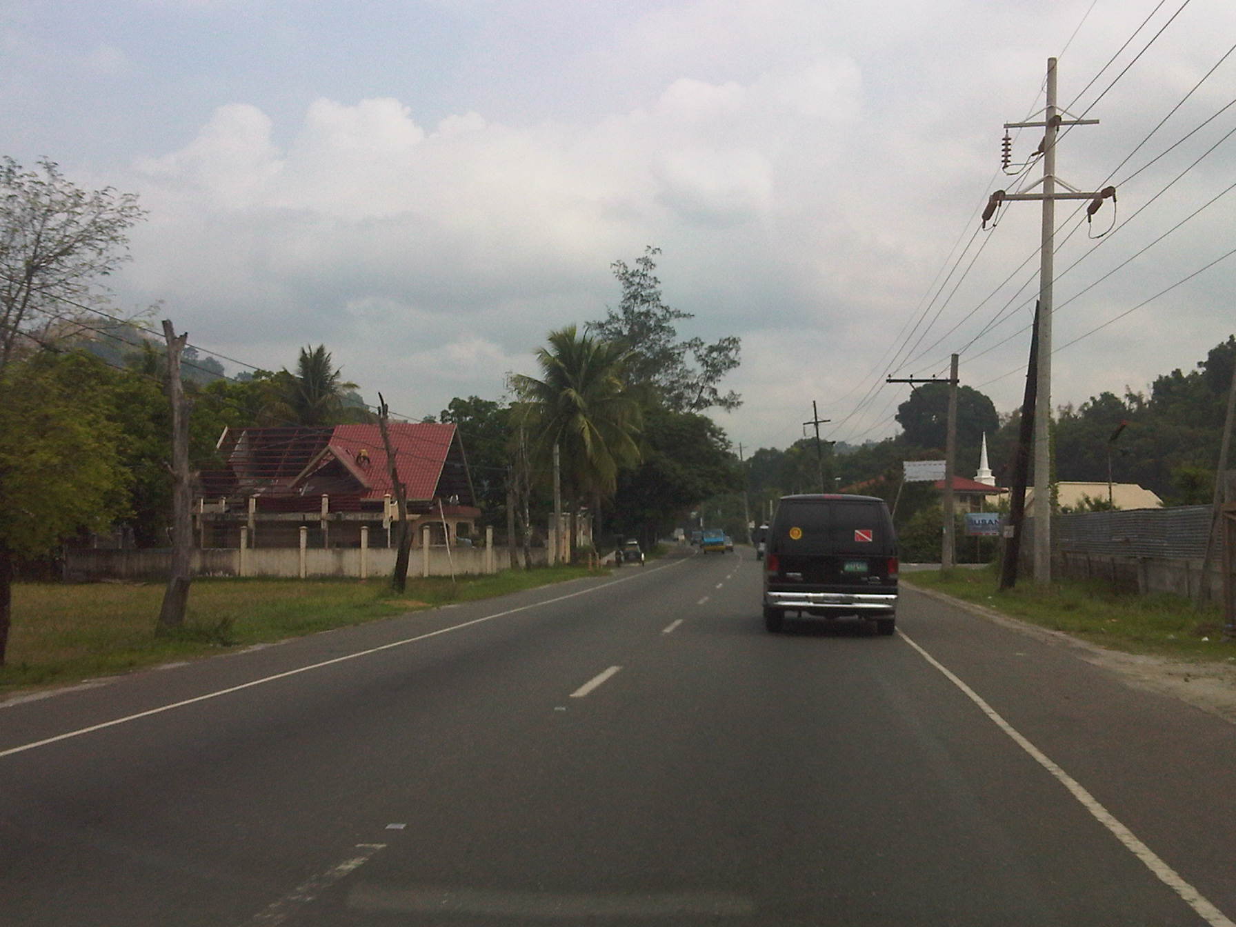 Open road – past Subic town center, traffic was already very light
 No overtaking – many sections along the road featured a solid orange-yellow line along the middle of the highway that should be understood as no overtaking. Shoulders are also clearly marked by the solid white lines on either side of the carriageway
 Curvature – overtaking is discouraged along curves as sight is limited and therefore restricts drivers’ and riders’ capabilities to properly discern opposing vehicles.
 Passing sight distance – the view from our position as we prepared to pass a slower moving vehicle in front of us illustrates sufficient PSD for us to succeed in our maneuver. Note the perceived distance between us and the vehicle in the opposing lane.
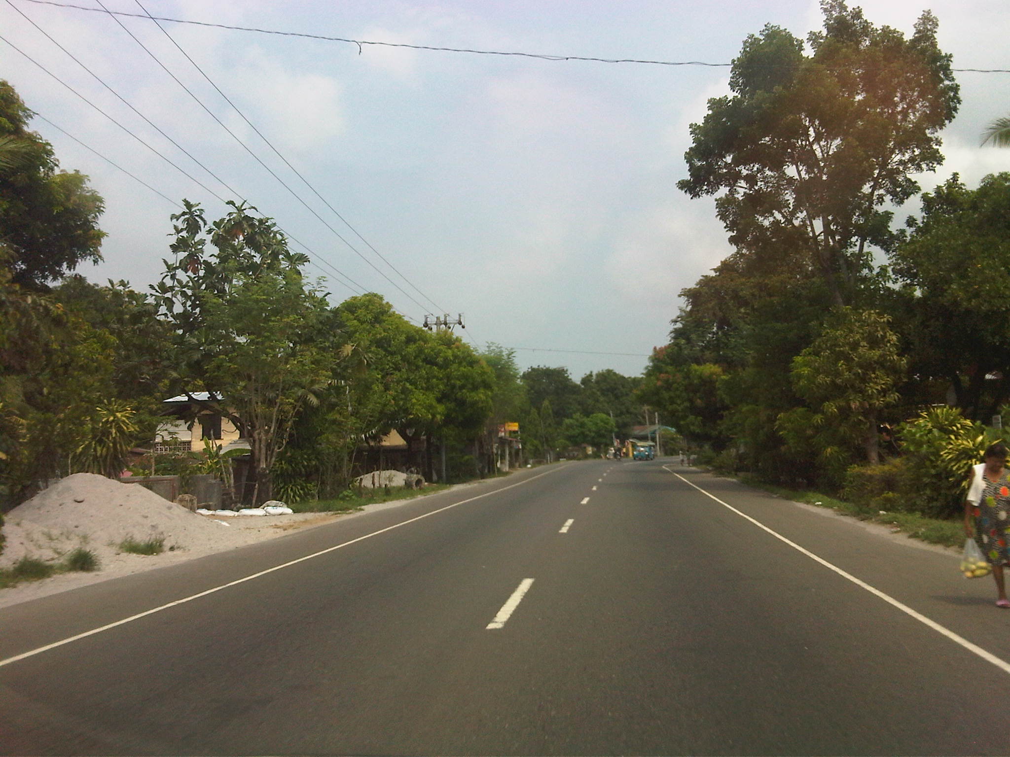 Clear for take-off – such scenes along low traffic volume highway sections around the country and elsewhere seem to invite drivers to speed up.
 Bridge before the boundary – I didn’t pay attention enough to see the name of the bridge and had to google it. Pamatawan Bridge allows people to cross the Balaybay River in Zambales. Just after the bridge and visible downstream from our position in the photo is the arch welcoming travelers to the Municipality of Castillejos.
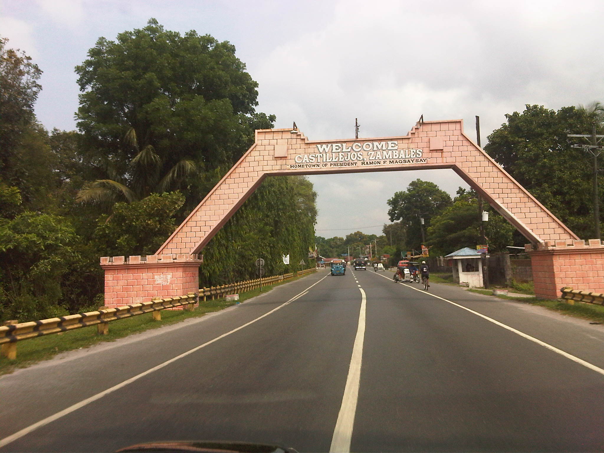 Municipal boundary – like many others across the country boundaries are marked by arches like the one in the photo welcoming travelers to Municipality of Castillejos. This one though is among the more appropriate ones given the town’s name, which translates to “small castle.”
–
Failure in transplant? – The trees along the Katipunan median island
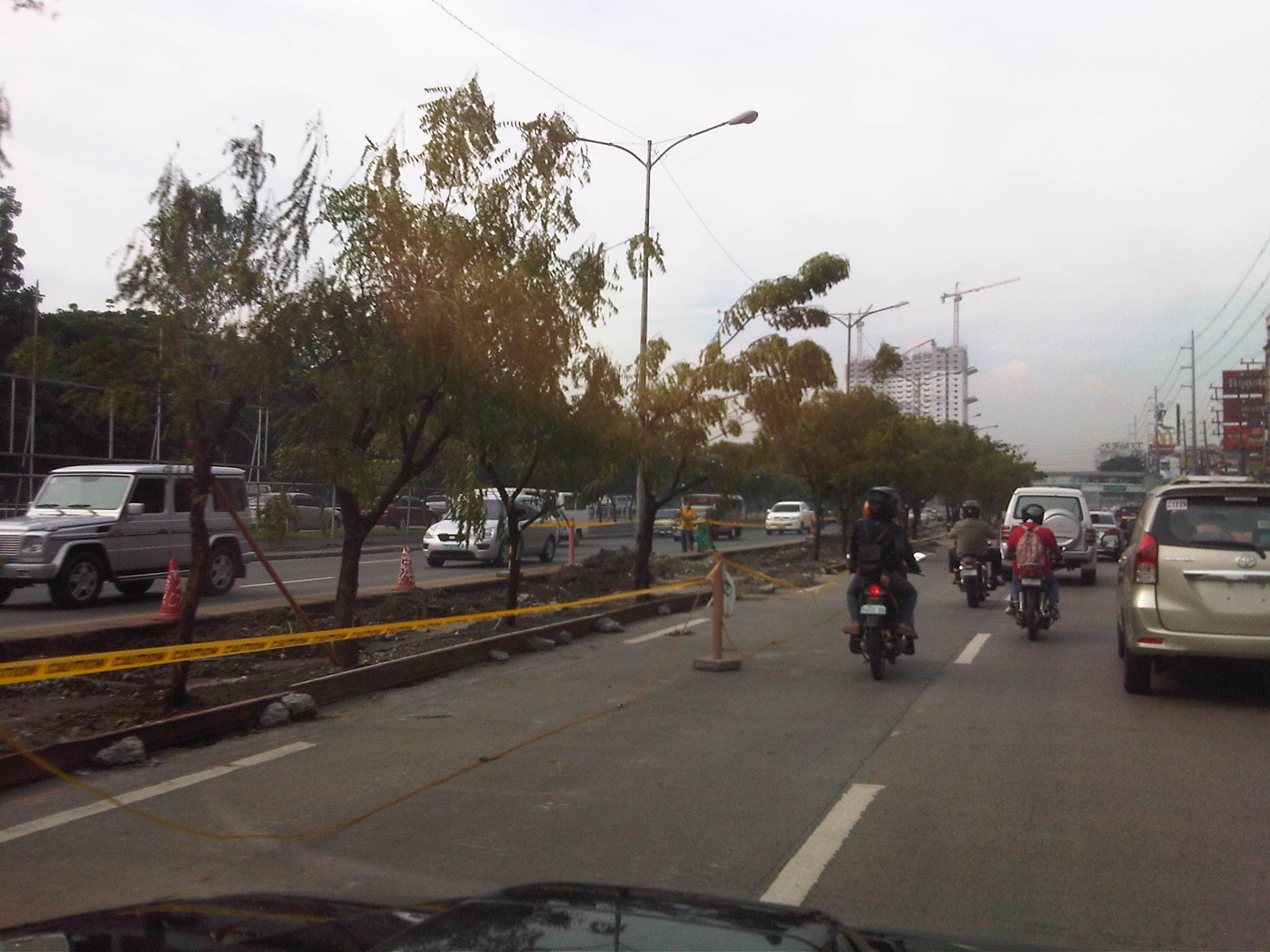
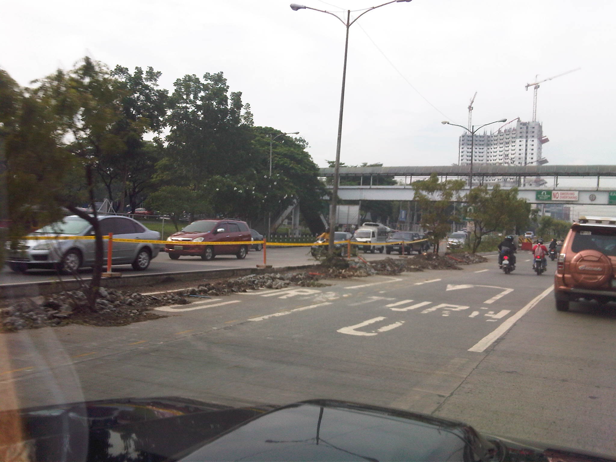
A day after featuring the ongoing lane rationalization project along Katipunan Avenue, I was able to take photos of the transplanted trees along the median as we traveled along the southbound direction of the road. The trees were transferred to the new median as will the light posts later.
Following are three photos taken last May 16, 2012 showing the transplanted trees with their leaves still green but already showing signs of withering (nalalanta na). I thought this was natural given the grown trees being balled and transferred plus the fact that we were still enduring the summer heat.
 1
1
 2
2
 3
3
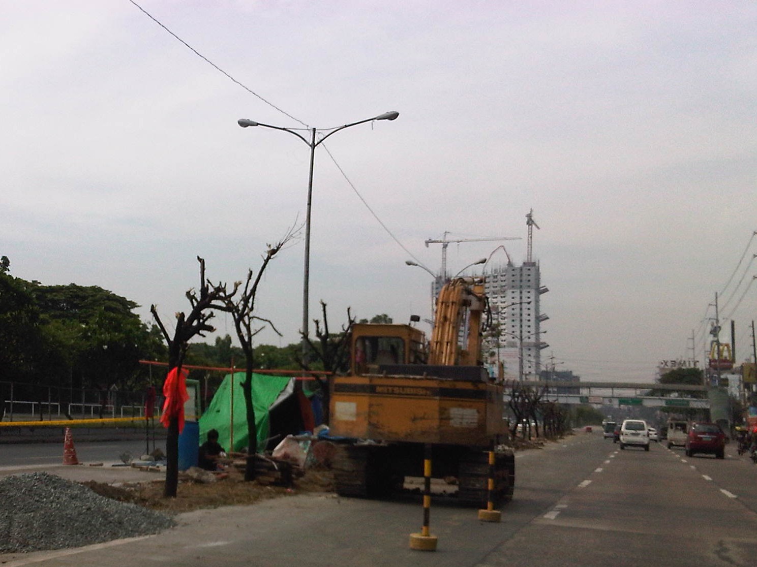
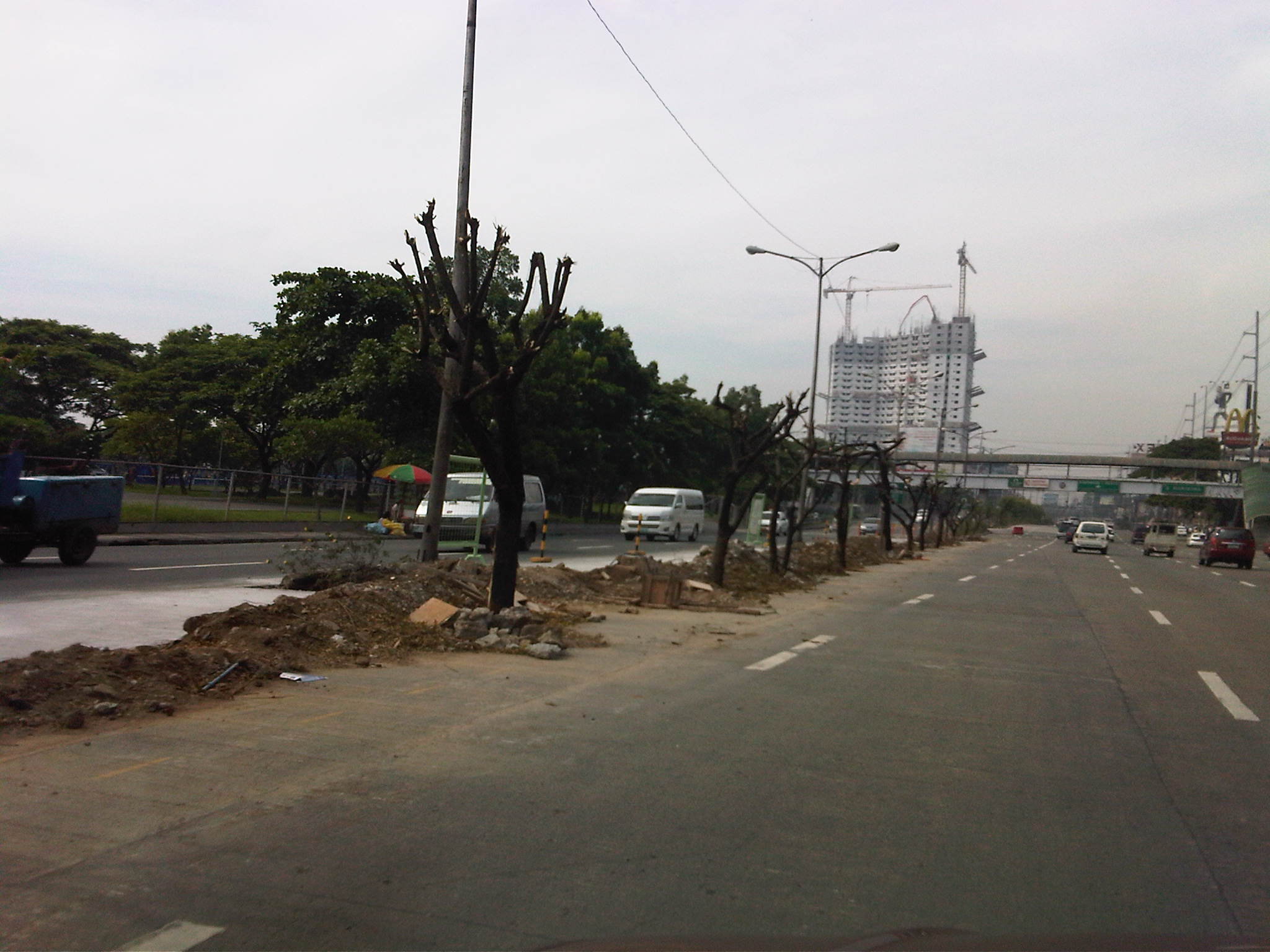
This morning (Sunday, May 20), as I drove along the same way I saw that the trees’ branches have been cut off. I am not a botanist or an expert with flora but perhaps this was done to allow the trees to recover? The optimist in me says leaves will eventually sprout from the stubs much like they did for the trees removed from the Katipunan service road about a decade ago that were transferred to the Marikina Riverbanks, many of which lived only to perish from Ondoy’s floods in 2009. The following photos are what’s left of the median island trees of Katipunan.
 4
4
 5
5
 6
6
–
Another look at the Muelle Del Rio
Got to pass by the Muelle Del Rio again en route to a meeting at the DPWH in the Port Area. We took this route as we wanted to avoid congestion in front of the Manila City Hall and along Padre Burgos. I made sure I took additional photos of the road including the approach from the Quezon Bridge to show the parked vehicles, mostly UV Express, parked along the road. Some maps already refer to the Muelle Del Rio as Riverside Drive. I think this is not appropriate especially from the perspective of heritage and the preservation of street names that are strongly linked with history. Such is an unnecessary simplification that should not be the case especially in the historic City of Manila and in the vicinity of Intramuros.
 Approach from the Quezon Bridge – UV Express (FX taxis) parked along the roadside
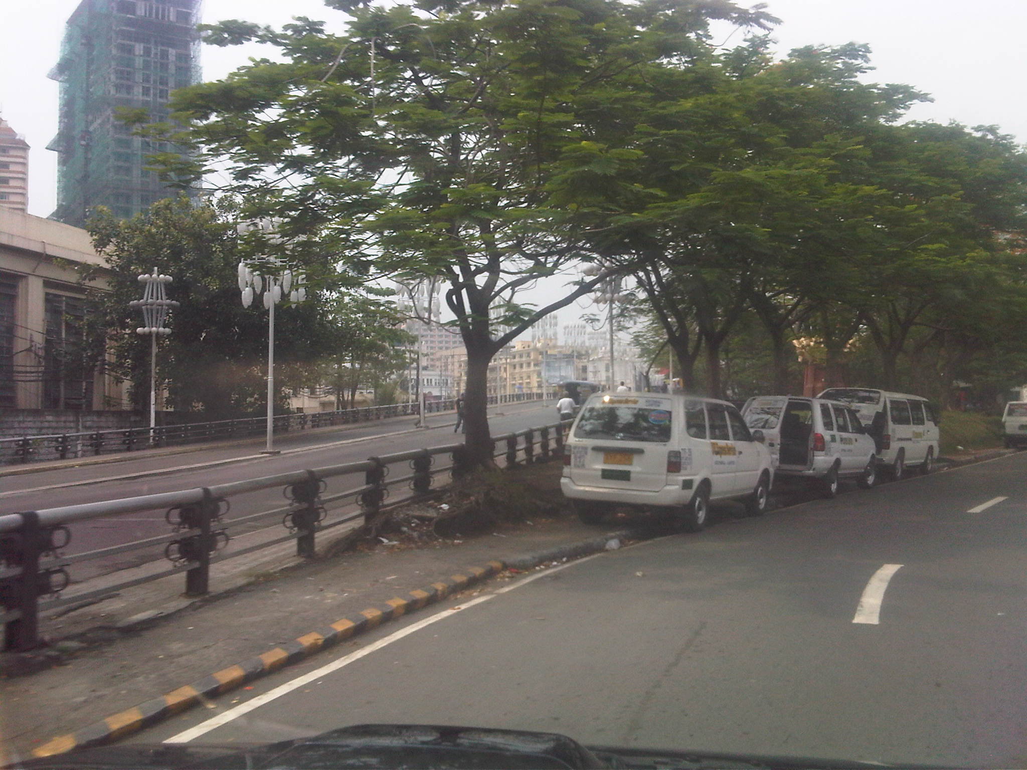 A bridge too close – the road comes quite close to the approach to MacArthur Bridge (the road on the other side of the barrier), which leads from Padre Burgos to Carriedo
 Taking a turn – turning from the approach towards the riverside portion of the Muelle del Rio, one can see the bridge for the LRT Line 1 and trees where homeless people usually take shelter. The driveway under the bridge is for a public transport terminal occupying the area under the bridge.
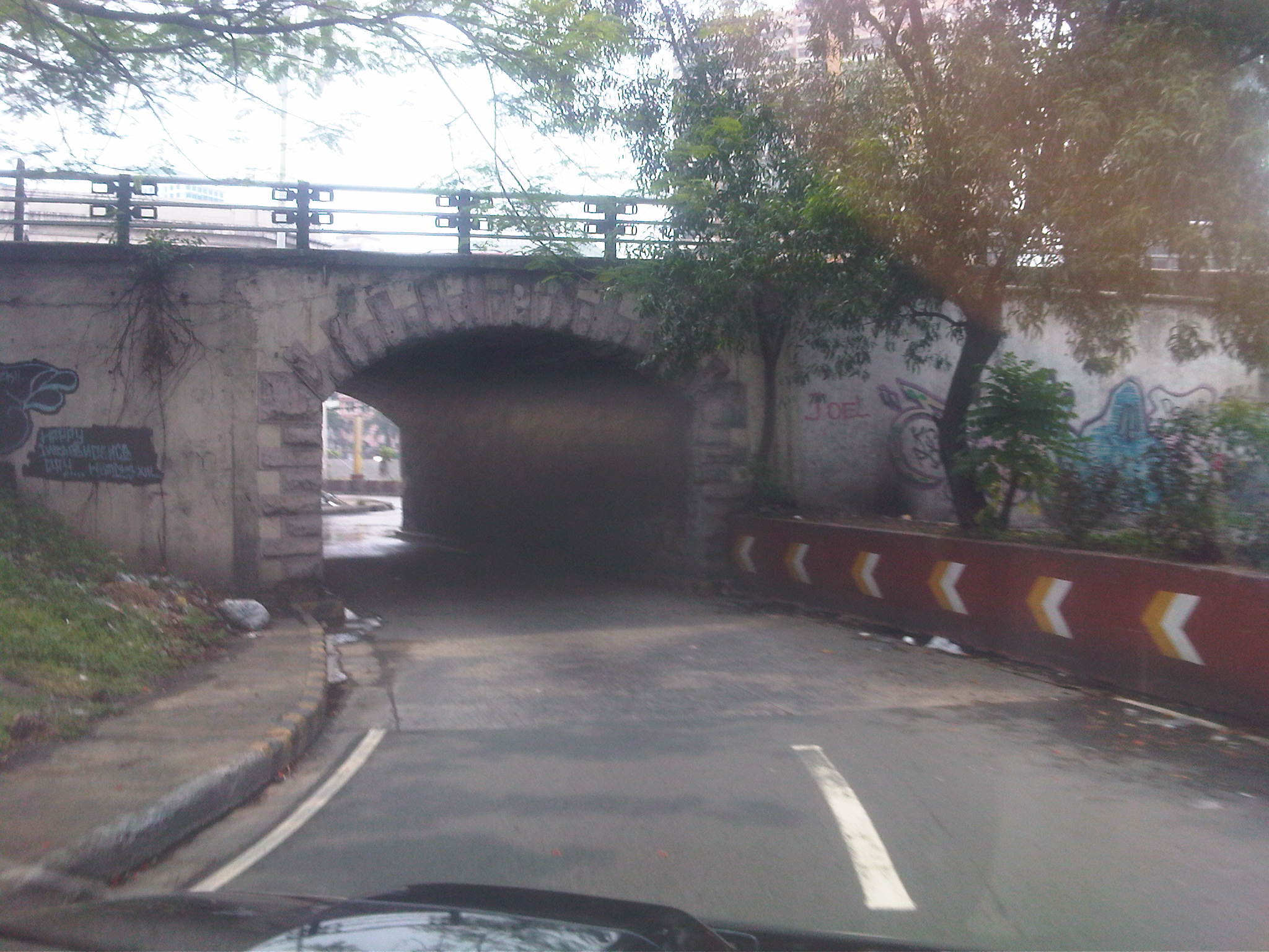 Underpass at MacArthur – the walls of the plant box are painted and seem to be well-maintained while that of the bridge are vandalized
 Behind the Post Office – the walls/fence of the post office is vandalized while there seems to be no one using the walkway along the Pasig River at the right of the photo. The yellow poles are light posts. There are no pavement markings along this stretch of the road.
 Pools – water from the mid-day rains accumulate along the gutters at either side of the road. The walls of the Manila Central Post Office look dirty from the combination of grime and vandalism.
 Sidestreet – approach to the junction to the sidestreet between the central post office and the building of the Philpost Bank before the underpass at the Jones Bridge
 Jones Bridge underpass – the underpass is obscured by the tree growing beside the wall. The stairs shown on the right of the photo is the pedestrian access to the bridge from the riverside walkway.
 After the bridge – there is significant traffic behind the National Press Club building
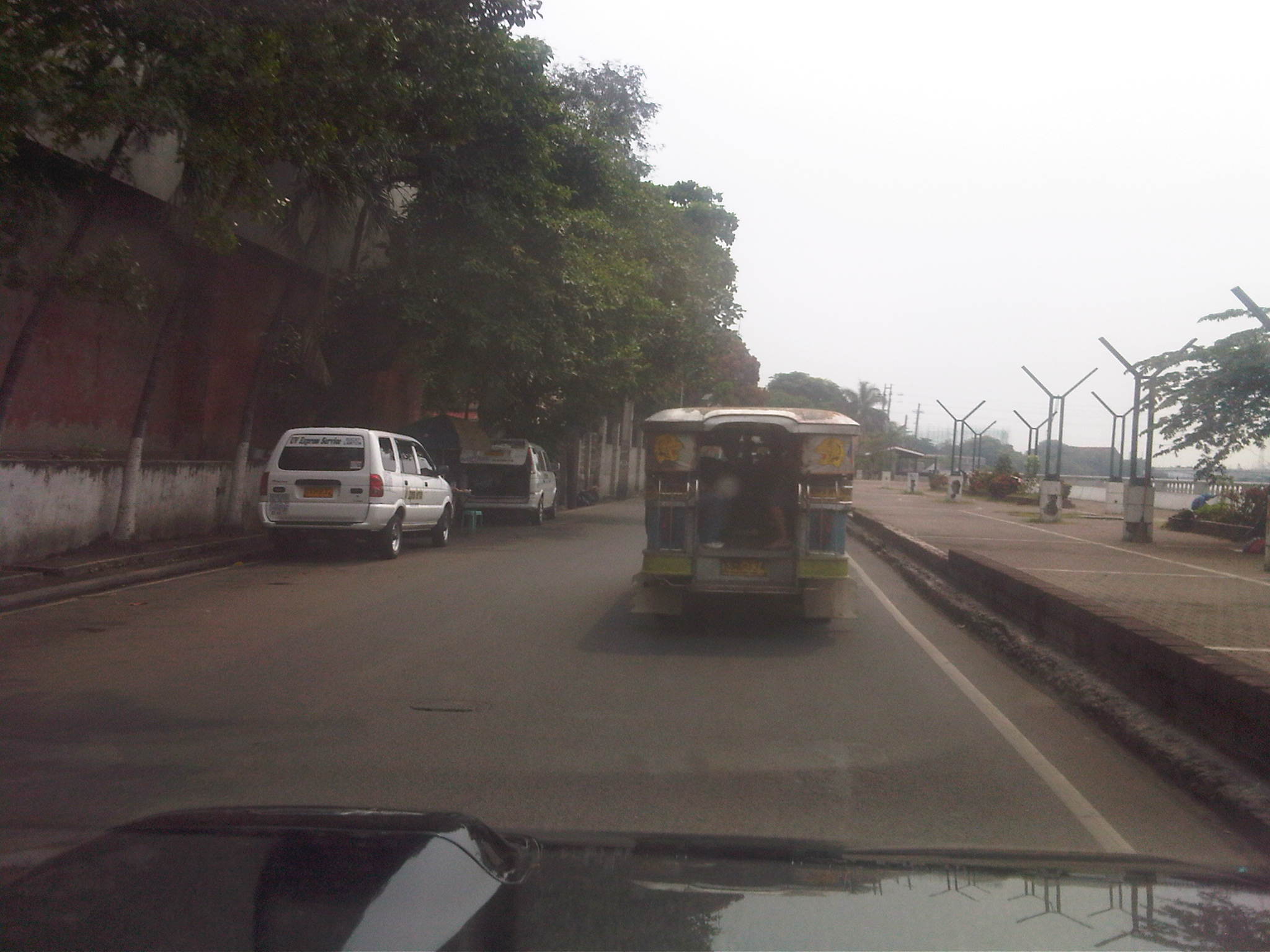 Bureau of Immigration – the BI complex is behind the wall shown on the left of the photo. There is a wide buffer zone along the Pasig River that’s been developed into a riverside park by the City of Manila. The curious Y-shaped structures are lamp posts that provide ample illumination at night time.
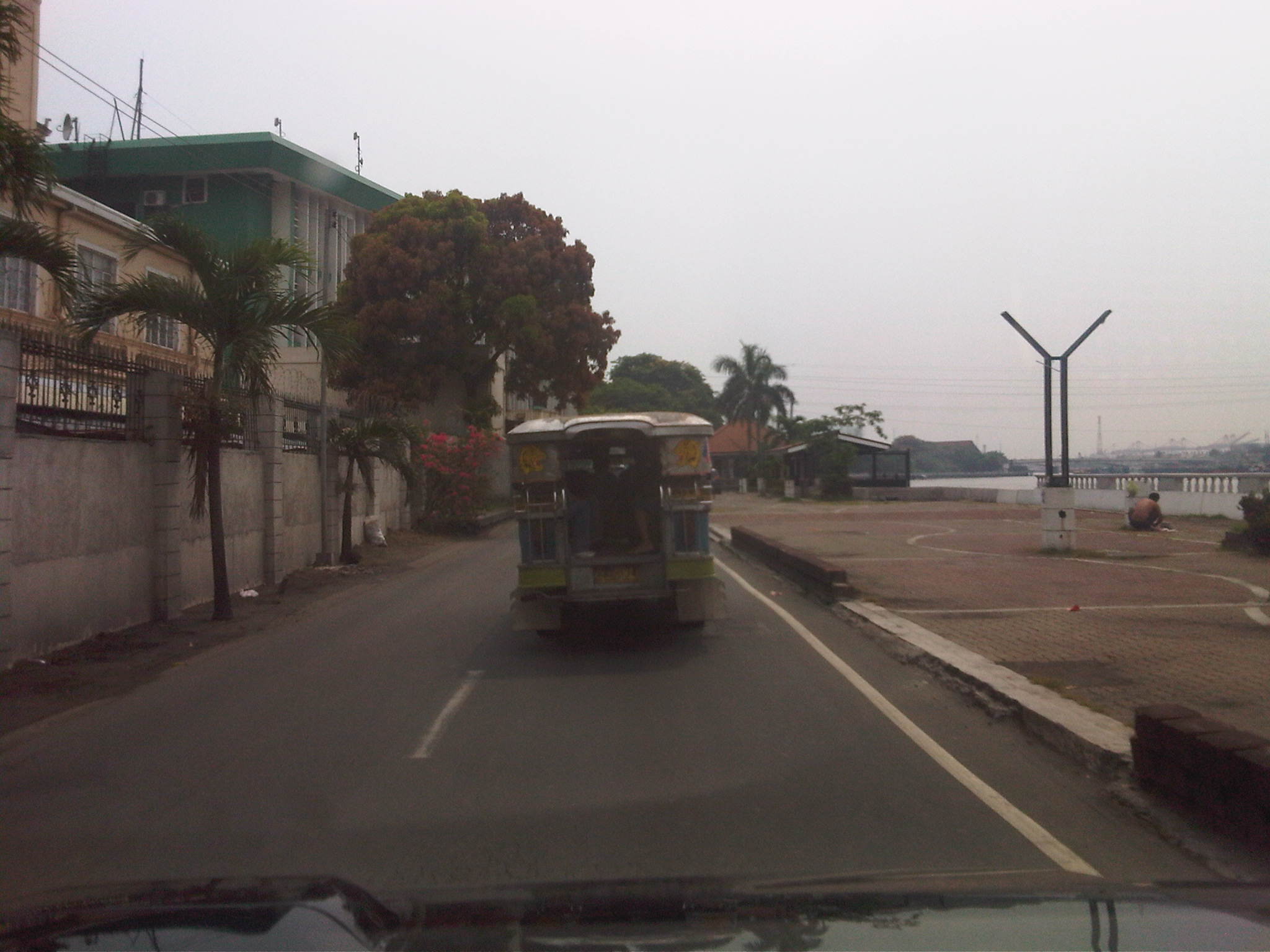 Approaching the terminal – the park area on the right is also used as parking space by visitors of the BI and those using the now non-operational Pasig River Ferry terminal at the mouth of the Pasig.
 Ferry terminal – parked vehicles along the terminal plaza are actually those of employees and visitors of the BI
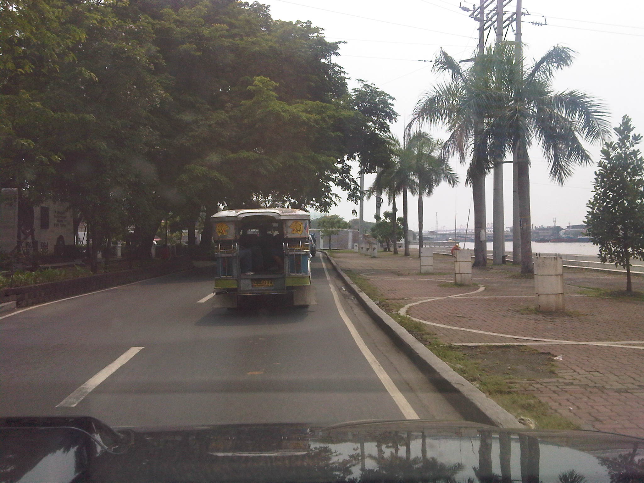 Post-terminal – the open area/riverside park continues after the ferry terminal and across the Plaza Mexico. Faintly visible on the left of the photo is the Acapulco Galleon Trade Monument that commemorated the trade route between the Philippines and Mexico during the Spanish Period. Across from the other side of Plaza Mexico are the ruins of the old Aduana (Customs) building.
 The dark side – the lamp posts seem to have been removed from their concrete bases. This was also shown in the preceding photo and I can just imagine how dark it is at night. The area has much potential as a park and the City of Manila should develop the place for it to attract people.
 Reconstruction – the Intramuros Administration and the Department of Tourism are already implementing some projects here and there but more would have to be done for Intramuros and the Muelle del Rio to be revived and become a major attraction if only for its heritage value. I certainly would like to see it developed like Melaka in Malaysia.
The Intramuros area including the Muelle del Rio may be considered for cycling and pedestrian facilities to encourage people to walk and cycle in the area. The stretch certainly has potential for walking and NMT, and should not be allowed to deteriorate further. Off-street parking facilities should also be considered and carefully planned such that on-street parking may be restricted and space be made available for pedestrian facilities. I am sure there are many planners and architects who would be up to this challenge.
–
Lane rationalization along Katipunan Avenue
While driving along Katipunan last weekend, I noticed the excavations beside the median island along the southbound direction. The excavations were of curious shapes as they were large holes that were conspicuously beside each of the small trees planted on the median island. It suddenly struck me that this was likely the implementation of the planned adjustment of the median island to allow for an additional lane along Katipunan northbound. A few more passes along the project site confirmed my suspicion and I was finally able to take a few photos this morning of the work along this section of C-5.
 The old median island has already been removed to make way for an additional lane along Katipunan (C-5) northbound. This will increase the number of lanes from 3 to 4 and should ease traffic when classes open in June. Meanwhile, the trees have been replanted on the adjacent lane on the southbound direction where a new median will be constructed.
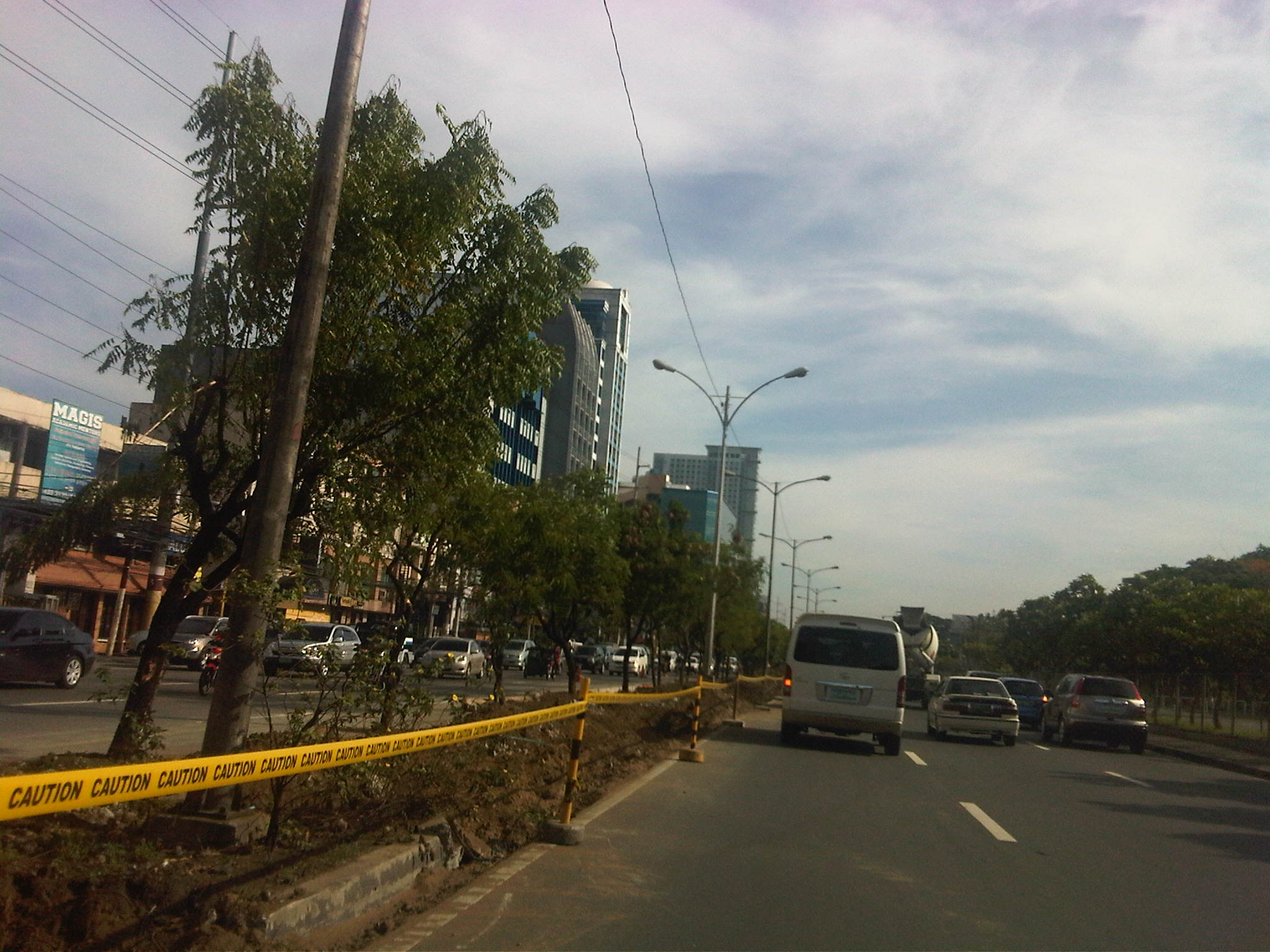 Aside from the trees, the light poles will also have to be transferred. I assume this will be done with Meralco and during the night time to reduce impacts on traffic.
 After transferring the trees, the old curb is demolished and the soil excavated and transferred to the new median on the other side. A new curb is being constructed and is visible in center of the photo.
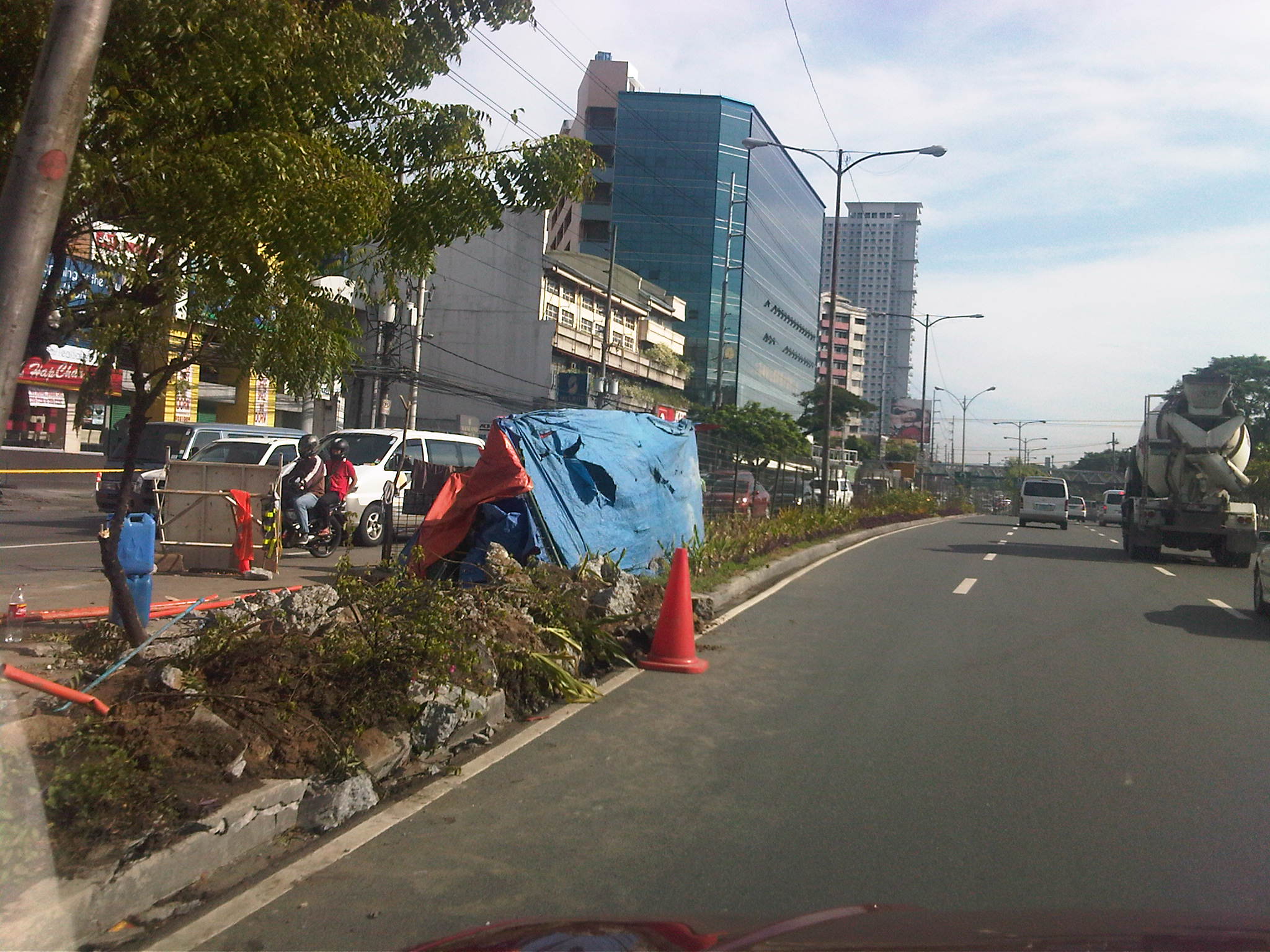 While the project is being implemented 2 lanes of the southbound side are effectively unusable to traffic with one lane being converted into a median and another being used by the contractor for their equipment and materials.
Once completed, the section of Katipunan should have 4 lanes along the northbound direction. Meanwhile, the southbound direction will have 5 lanes from the 6 it had after the west service road was removed as part of the U-turn scheme implementation by the MMDA 9 years ago. The 5 lanes are not all usable to general traffic since 1 or 2 lanes area often occupied by parked or standing vehicles in relation to the establishments on this side of Katipunan.
–
R-10: Smokey Mountain
I have not been to the Smokey Mountain area in a long while. The last time I’ve been there was in the mid 1990s (around 1995) when the area was still largely undeveloped and literally smoking from the smoldering garbage and the fires caused by methane released by the decomposing waste in the open dump site that grew to mountainous proportions. At the time, there were some efforts to alleviate the living conditions of people who resided here, many of whom depended on scavenging for junk and the production of charcoal. While Quezon City had its own mountains of garbage in Payatas, Smokey Mountain at the time symbolized poverty and desperation in the Philippines and took informal settlement to an even higher level than what we usually see around factories and vacant lots mainly in cities around the country where people try their luck in the hopes of having better conditions in life.
The following photos were taken while we were returning to Quezon City from a meeting in Manila. Our driver offered the idea to take this route as against the usual one that passed through Quezon Blvd and the Quiapo area, believing that a route via R-10 and C-4 would be faster. It was indeed faster and afforded me photo ops of the road environment along the way. Admittedly, the photos are not of good quality (blurry) as it was a gloomy afternoon and there was a slight drizzle the entire time we drove from the Port Area to UP Diliman.
 R-10 northbound – having an animated conversation with my fellow passenger, I almost forgot where we were and the area we were passing en route to C-4. I suddenly recognized the area when I saw what looked like a small hill in the horizon. It was then that I realized that that was no hill. It was a mountain – Smokey Mountain.
 Walk-up – on our right were 4-storey apartment buildings that looked like they were at the point of bursting what with all the protruding wood, metal and cardboard from the buildings. The original building is colored beige and all other “enhancements” are actually attempts to expand units probably made by residents to accommodate more (extended) family members.
 Extensions and expansions – I don’t know if the modifications to the tenements are legal or done with the approval of local authorities. I am sure though that these are unsafe and would probably collapse if a significant magnitude earthquake hit Metro Manila. Such are the urgent problems of mass housing that need to be addressed and quickly. But then, beneficiaries of such housing should not abuse their units to the point that they become decrepit and safety hazards.
 On-street parking – along R-10 were parked vehicles of which many were trucks and tricycles. The residential areas are served mainly by 3-wheelers including tricycles and pedicabs (padyak). Most business along the roadside cater to truckers: vulcanizing shops, vehicle repair, eateries and sari-sari stores that are part of the informal (and underground) economy; a major aspect of transport in the Philippines.
 Wide carriageway – the sections of R-10 in the Smokey Mountain area had something like 5 lanes per direction. There were no pavement markings so this is just an estimate based on the likely lane widths to factor in the significant truck traffic passing through the area. My previous memory of the place was a 2 lane road without curbs or shoulders.
 Foot of the mountain – this is what remains of Smokey Mountain after much of the garbage had been transferred, and the rest treated after dumping was ordered discontinued in the 1990s after outcries from environmentalists and various NGOs. The pavement conditions back in the 1990s were so bad that there were frequent congestion along the road and leachate from the garbage flowed along the roads. It was worse during the wet season as the rain and the usual winds sprayed a stinky mix unto vehicles passing the area. One had to wash or take his/her vehicle to the car wash as it will smell really bad. If you allow the vehicle to dry, its even worse because in addition to the smell, the car exterior would be sticky.
 Mountainside – there were garbage and other wastes, the homeless and informal settlers everywhere in the area. Mountains of waste were on either side of the road, and the smell will seep into a vehicle, never mind if one drove a new car as the stench was strong enough to overwhelm filters and air-conditioning given enough time.
The residential buildings in the preceding photos are not the first ones to be built in the area. In the early 1990’s a few walk-ups were constructed on the other side of the highway as a first effort to address the question of informal settlements around Smokey Mountain. I remember those to be the first ones to be abused by the residents/tenants themselves who seem to think it was their right rather than privilege to be granted housing and be beneficiaries of livelihood projects by both government and NGOs.
It is a good thing that the dump site was closed many years ago. Unfortunately, similar waste disposals are present elsewhere including parts of Payatas in Quezon City and San Mateo in Rizal. Open dump sites should not be an option for many LGUs without the proper guidance of experts from pertinent government agencies and the private sector. Proper and suitable waste management systems should be a priority for LGUs.
–
Port Area Roads 1: Bonifacio Drive to 2nd Street
Heading to a meeting at the DPWH’s National Capital Region office one afternoon, I made sure to take photos of the roads en route to their building located across the Sout Harbor’s container terminal and before the (and therefore near) the Baseco compound along 2nd Street.
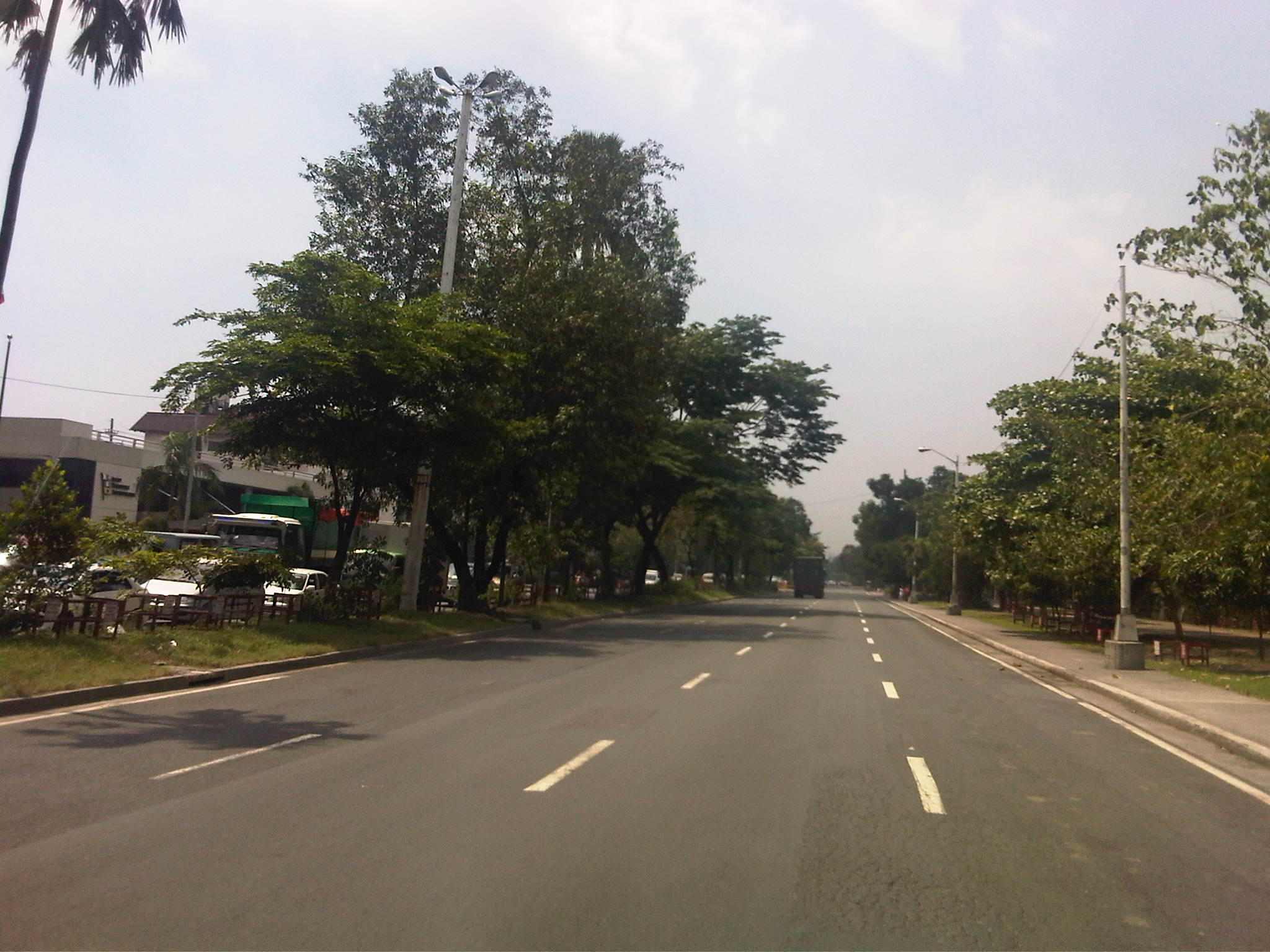 Bonifacio Drive – this section is part of Radial Road 1 (R-1) and has 4 lanes per direction. It stretches from R-1’s intersection with Burgos (in front of The Manila Hotel) where Roxas Boulevard (the road more associated with R-1) has its north end. Bonifacio Drive has a generous median and the northbound side is lined with trees on either side since Intramuros is on the right.
 DPWH Head Office – this is the approach to the median opening for the DPWH Head Office located along Bonifacio Drive. The Head Office houses the Offices of the Secretary, Undersecretaries and Assistant Secretaries of the department. It also houses the Planning Service and Bureau of Design. There used to be a railroad behind the DPWH building when the port area was connected to the railway system particularly to carry freight from the ships calling on the Port of Manila.
 Walls of Intramuros – the walls on the right are not The Walls but those of the Intramuros Golf Club, which is located in the area that used to be the buffer zone before the Walled City, much of which are part of a golf course. It is interesting to note that despite the excellent condition of the pavement, much of Bonifacio Drive does not have lane markings. In the previous photo, the markings are badly weathered. It can be observed that many trucks are parked along either side of the road – a preview of more trucks parked along the curbside in the area.
 Approach to the Del Pan Bridge – the bridge is where Radial Road 1 ends and Radial Road 10 begins. We didn’t cross the bridge spanning the mouth of the Pasig River but instead took the service road that led under the bridge to what is technically part of the Muelle Del Rio. The interchange provides access to Baseco and the container terminal as well as for vehicles making U-turns towards the southbound side of Bonifacio Drive.
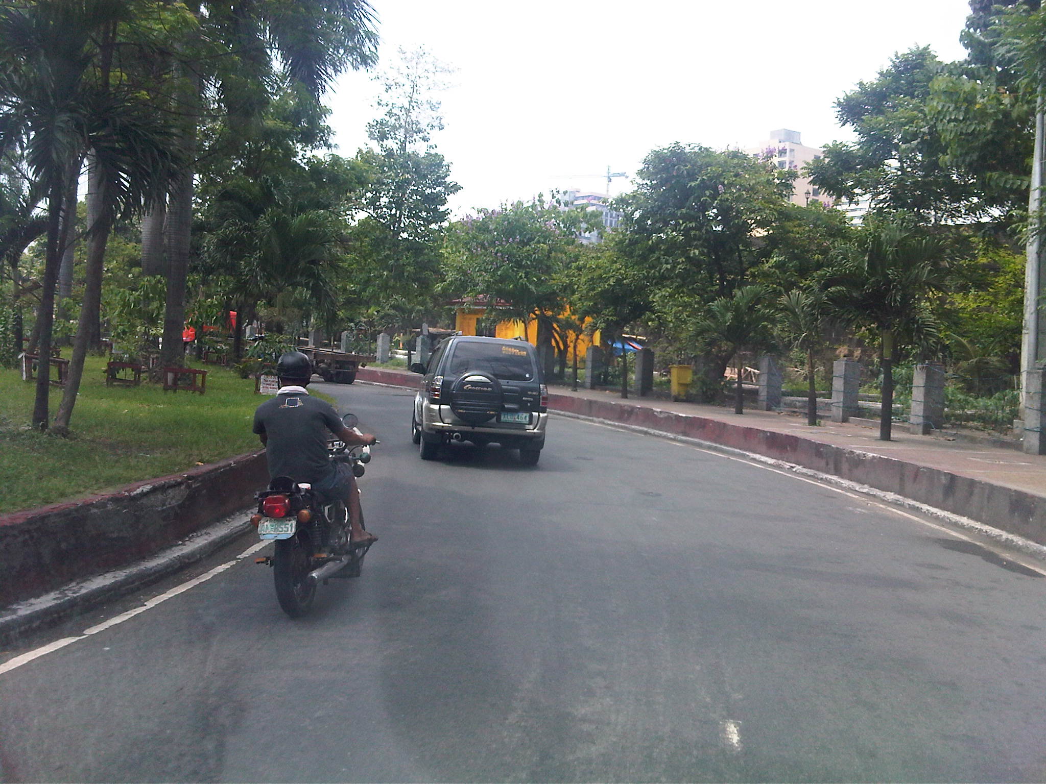 Service road – keeping to the right of Bonifacio Drive, we took the turn prior to Del Pan Bridge. On the right side is a buffer area prior to the walls of Fort Santiago, which is strategically located at the mouth of the Pasig River.
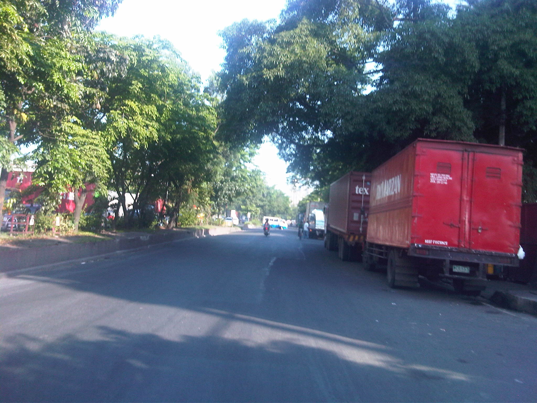
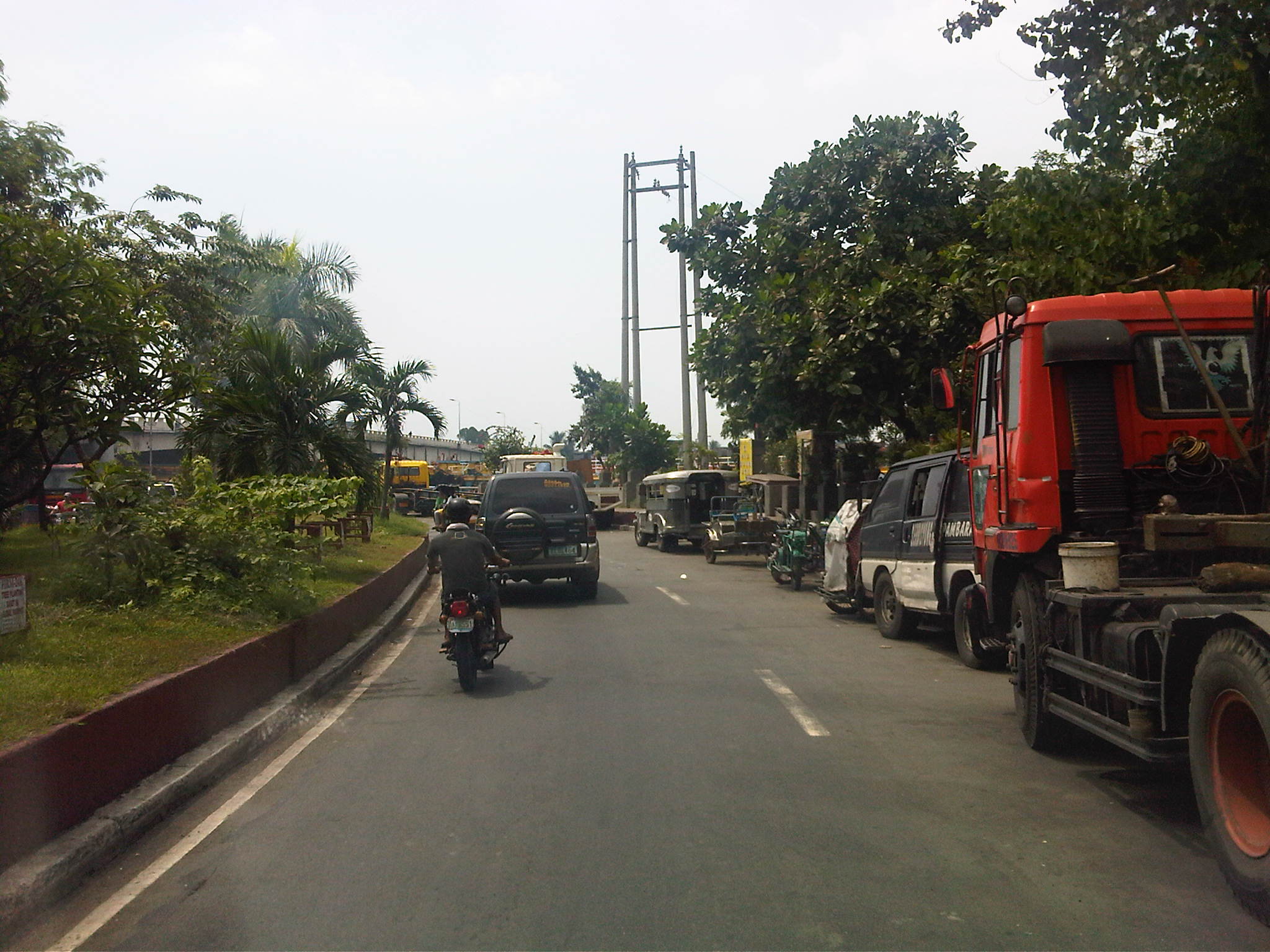 Reduced capacity – the service road’s capacity is significantly reduced by the vehicles, mostly trucks, parked along the road. I am not sure why this is allowed but toleration of such practices goes to show the lack of adequate facilities for freight vehicles around the Port Area, which is something that needs urgent attention.
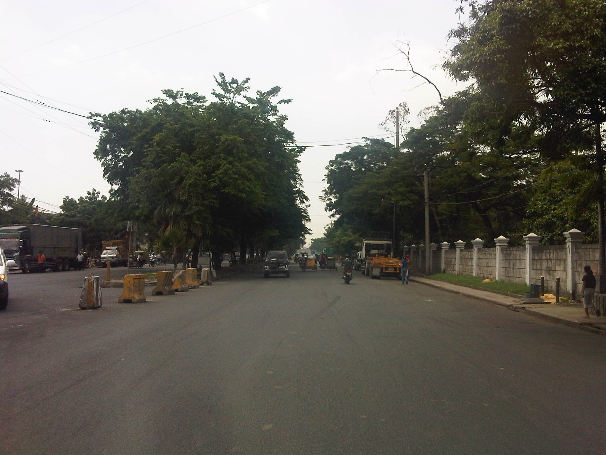
 More parked trucks – many trucks we saw had trailers and were probably waiting to pick up containers at the South Harbor. Conspicuously, many trucks like the yellow ones in the photo seem to be owned by a few companies, who perhaps have no suitable depots or garage facilities for their trucks. Of course, there is also the constraints brought about by the truck ban being enforced in Metro Manila. But this seems to be a flimsy excuse considering many roads in the area allow truck traffic throughout the day, being designated as trucks routes.
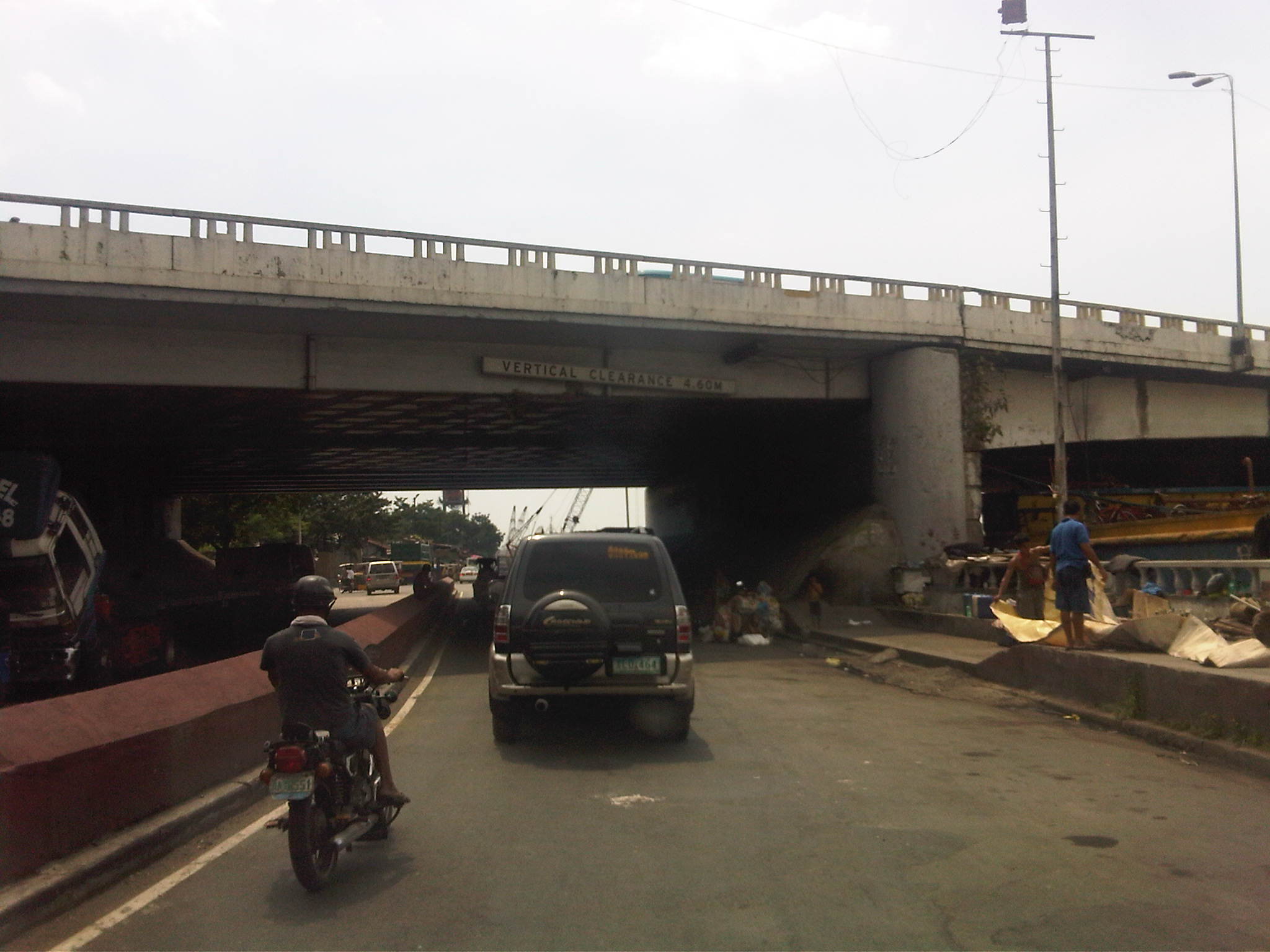 Beneath the bridge – under the Del Pan Bridge, there are more parked trucks. Many are being maintained or repaired and there are informal settlers among the truckers camped out under the cover of the wide bridge. There are also barges lined along the river that also seem to be waiting for their turn to be towed and/or loaded.
 Intersection – the channelization at this point along the service road guides motorists to where the road branches out into the Muelle Del Rio (straight) and the segment towards 2nd Street and the ramp to Bonifacio Drive southbound (left).
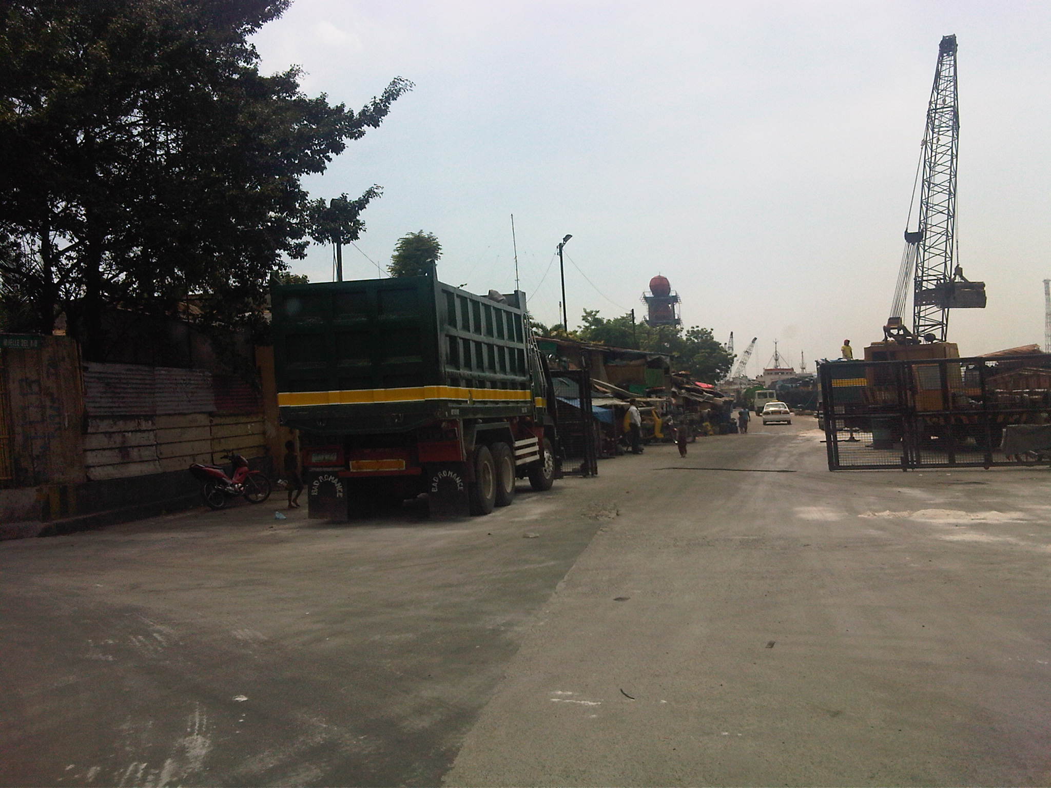 Muelle Del Rio – the road is supposed to be part of the Muelle Del Rio but is being used as part of the port where cranes load and unload materials unto barges lined along the river mouth. There is a gate structure, which suggests that the area is limited access to general traffic. The road is actually a dead-end.
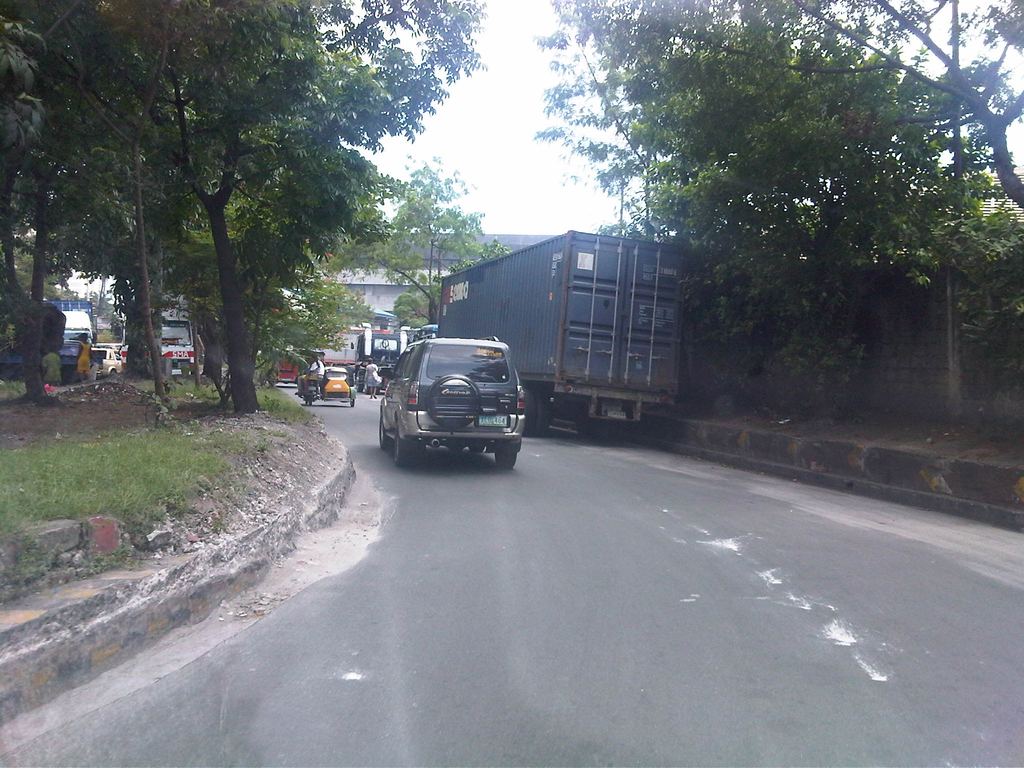 U-turn – turning left at the intersection had us practically making a U-turn under the bridge. In front of us were more parked trucks as we proceeded towards the junction to 2nd Street. Notice the damaged curbs? These are caused by trucks maneuvering and often hitting the curbs.
 Container terminal – trucks lined along 2nd Street included those bound for the South Harbor’s container terminal. The one with the blue container is entering the gate, which entails some clearance procedures conducted by security. Truckers seem oblivious to the general traffic that they block on a regular basis. Our friends from the DPWH state that this congestion due to the trucks is among the complaints they get from their visitors.
 More queuing – just when we thought the queue of trucks were only because of the South Harbor’s container terminal, we saw this line of trucks past the gate. The buildings on the right are DPWH’s (NCR and Bureau of Maintenance). There is often no other choice but to run counter-flow to the traffic in order to get to our meeting.
 Home free – our driver managed to get through the queue of trucks as truck drivers allowed us to turn towards the DPWH offices after we got their attention and signaled towards our destination.
 Return trip block – after the meeting, we had to go back to where we came from as 2nd Street was a dead-end. We were greeted by the same queue that occupied one lane of the road and necessitated for counter flows like the lorry partially covered by the trailer in the photo.
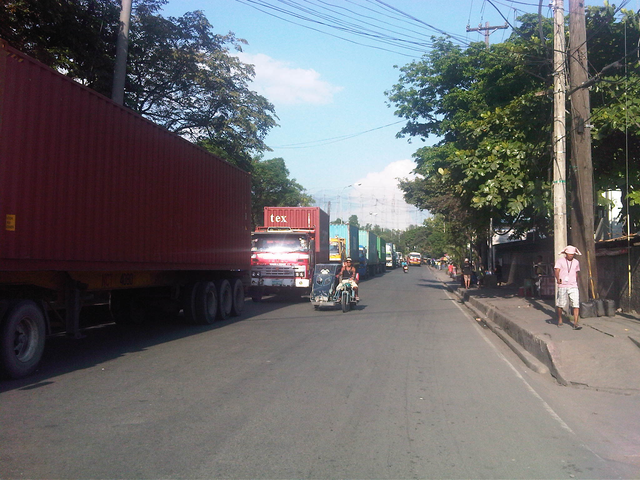 Container traffic – most if not all the trucks bound for the terminal carried containers. I assume these were laden with various goods that are to be loaded unto ships at the port. Those that didn’t have containers were probably picking up freight previously unloaded at the terminal and cleared for transport. I can only imagine what if there was still a railroad line operating to transport such containerized freight. These would have been more efficient for long distance origins and destinations where trucks will only have to provide feeder or collector services (distribution).
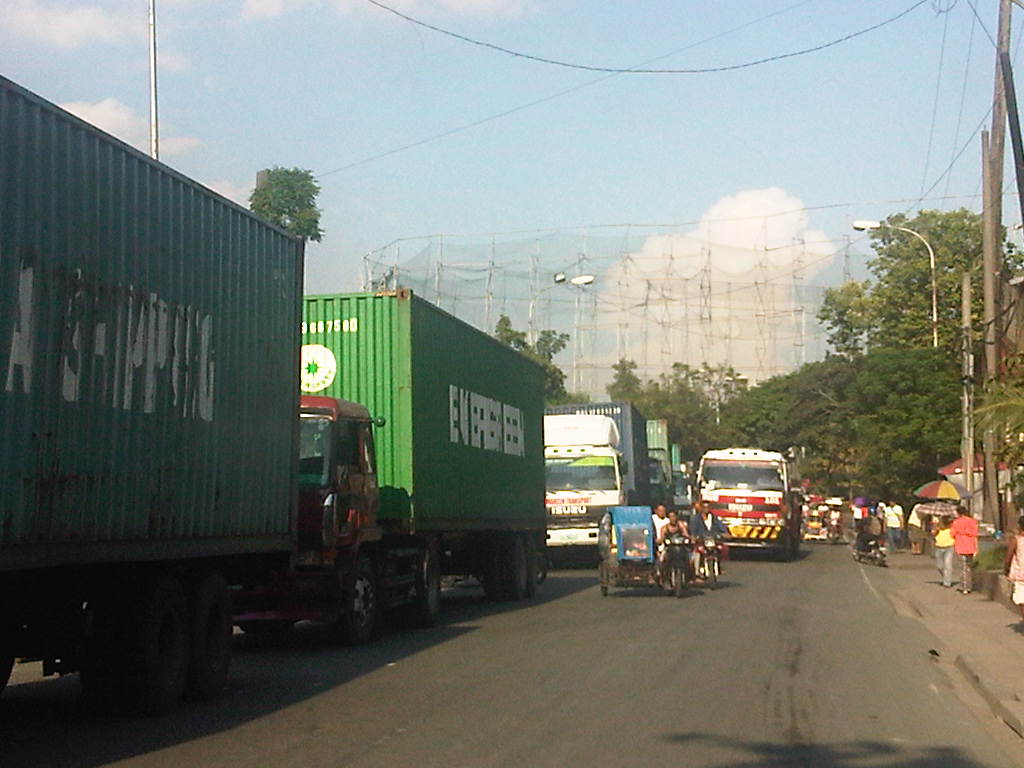 Hogging the lanes – as if the queued trucks occupying one lane were not enough to cause congestion, this truck followed the counter-flowing tricycles (Yes, there are tricycles here serving the Baseco compound and 2nd Street.). It was a good thing the 2nd Street’s lane widths were quite generous so it could actually fit 3 lanes. Curiously, there are no pavement markings on the street to delineate the traffic lanes.
 Trucks galore – finally getting back on Bonifacio Drive (southbound) to return to Quezon City, we were greeted with more trucks, this time parked along R-1. While traffic was generally light, I couldn’t help but wonder why these practices of trucks are allowed to continue and why such issues have not been addressed by the City of Manila and the Philippine Ports Authority.
 Tolerated too? – we spotted these tricycles with the yellow sidecars along Bonifacio Drive. These apparently serve the streets (local roads) in the port area. Tricycles are supposed to be banned from national roads so they should not be traversing Bonifacio Drive nor should they be allowed to have informal terminals here.
 Underground economy – vendors and hawkers at the island to the entrance to 13th Street (aka Oca, Sr.) at the Anda Circle (rotonda).
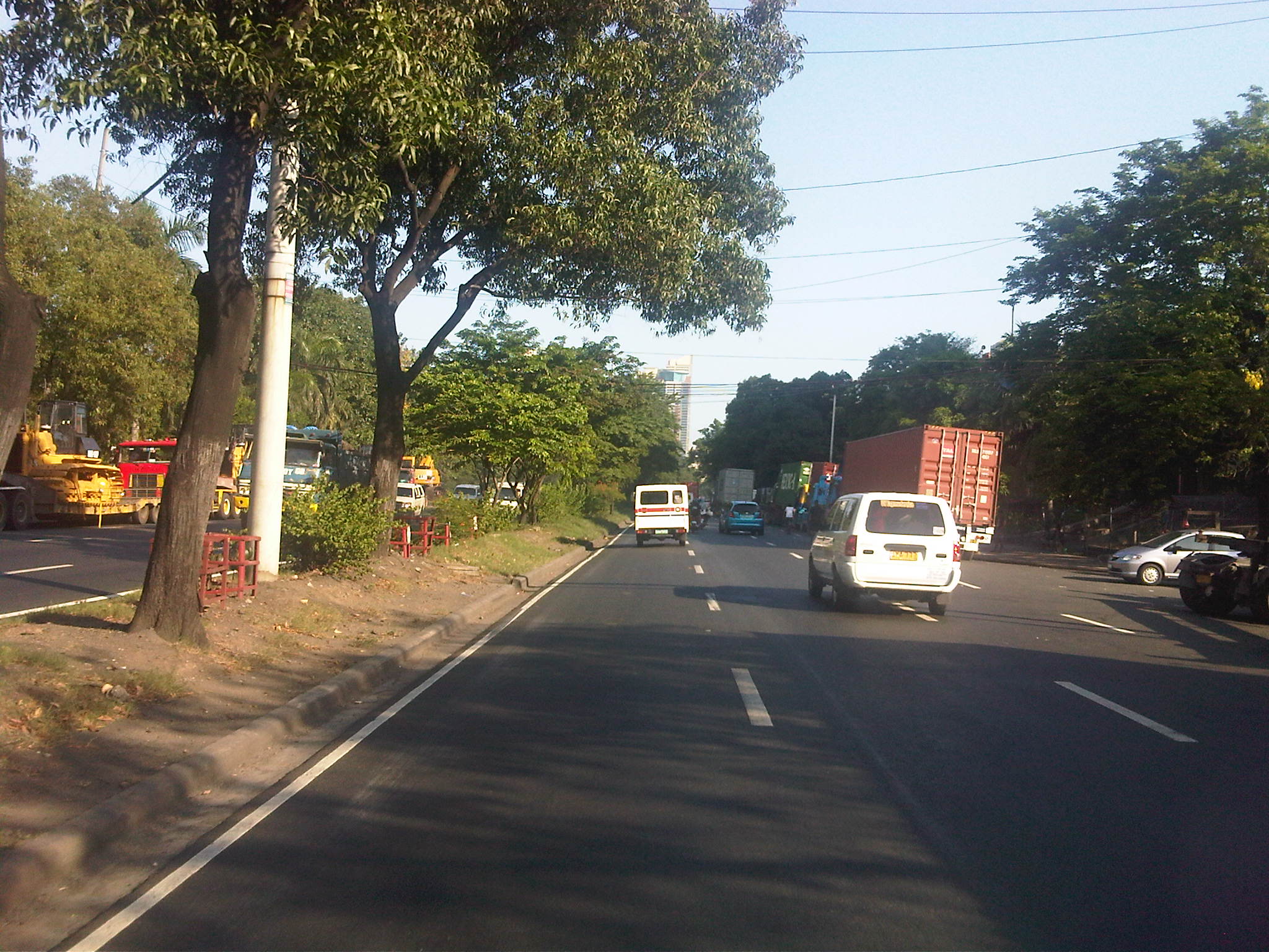 Model roads – past the Anda Circle, the well-maintained section of Bonifacio Drive was complete with lane markings and noticeably clean.
 Proof of concept – Bonifacio Drive should indeed be according to standards considering that its just in front of the DPWH Head Office. It would be an embarrassment for the department if the road in its backyard is poorly maintained.
–
 Caught (up) in traffic