
Home » Infrastructure (Page 18)
Category Archives: Infrastructure
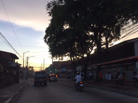
Challenges for students commuting to/from schools
Its our first day of school for our daughter today. But unlike her, I recall that I had to wake up early when I was in grade school and high school because the ‘service’ providing transport to and from school had to pick me up and then others. That usually meant a 5:30 AM wake up, a quick shower, dress-up (we wore uniforms) and breakfast before the ‘service’, an AUV, picked me up at home. School started at 7:30 AM and it took something like 45 minutes (depending on traffic) from our last pick-up to get to school at exactly 7:30. If our vehicle is able to finish pick-ups earlier, that meant we were assured of not being late for homeroom period. If the other kids (and there are many) are running late and we end up waiting longer for each, then we would likely be late. In many cases, our driver would have to resort to being reckless in order to make the time.
Nowadays, I think its much more difficult for kids due to the worsening traffic congestion. What was a 30 to 45-minute travel time between our home in Cainta to Pasig/Mandaluyong is now easily twice or longer that. And I am only referring to a direct trip. Even with Waze available, one can only have few options for routes between home and school.
While there are still many school ‘service’ vehicles (and not so many actually buses), many parents seem to have opted to Ateneo, for example, used to have a fleet of buses transporting students. These were replaced by AUVs and vans accredited by the school, and the many (too many?) private vehicles ferrying mostly individual students to and from their Quezon City campus.
 School children have to wake up early to go to school. Some probably take their breakfasts as baon in order to save time for traveling. Some take their breakfasts at nearby eateries or fast-food restaurants.
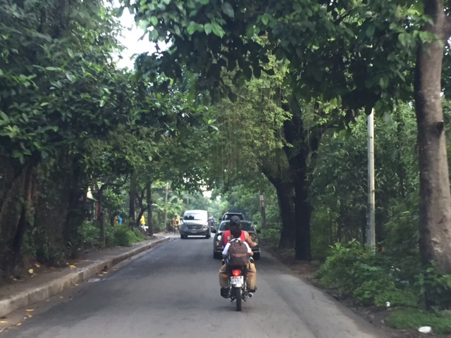 Many children may be at risk as they are ferried to school via motorcycles and usually without helmets. In other cases, there are tricycles acting as school service vehicles. Often these are overloaded with children and their school bags.
Pedestrian facilities are also lacking in many cases and particularly in rural areas where public schools are located along highways that have no sidewalks or cities where pedestrian walkways are not built to standards for one reason or another. These are issues that need to be addressed and would be nice topics for research, especially those with practical and safety applications.
–
Some updates on C-6
I have not used Circumferential Road 6 in a while. And so a couple of weeks ago, I was happy to see that work has resumed on the sections at Lupang Arenda in Taytay, Rizal, which is also known as Sampaguita Street. Here are some photos of the wide C-6 section. I guess there’s an opportunity here to have service roads on either side of the highway in order to manage/control local traffic. C-6, after all, is a highway and is designed for typical national highway speeds (i.e., 60 kph). The adjacent land use, however, requires slower traffic mainly due to safety concerns.
 Cordoned-off section where a contractor is preparing the sub-base prior to placing the steel reinforcement and pouring concrete
 Another photo of the section showing form works for the slab. Note the parked vehicles along the side on the left.
 Some sections are already flooded from the heavy rains
 The completed section towards Nagpayong, Pasig is a wide 4 lanes. At left is a nice view of the Laguna de Bai.
 Section to Nagpayong near the boundary of Taytay, Rizal and Pasig City.
 That’s a habal-habal (motorcycle taxi) terminal on the left and in front of a parked jeepney.
Two very important things about C-6 though. One concerns the Barkadahan Bridge over the Manggahan Floodway, which is too narrow for the traffic that cross it. There’s a new bridge beside it that seems to be taking too long to build. And then there’s the long stretch from Nagpayong, Pasig to Lower Bicutan, Taguig which remain in bad condition. The new section along the lakeside is already usable for Pasig-bound traffic but needs to be allowed to carry two-way traffic for the older section to be rehabilitated. C-6 is becoming a major alternative route for a lot of travelers from Rizal to and from Makati and Taguig (esp. BGC). It needs to be improved immediately as it can help decongest the Ortigas Ave. – C5 route that most Rizalenos use to go to their workplaces.
–
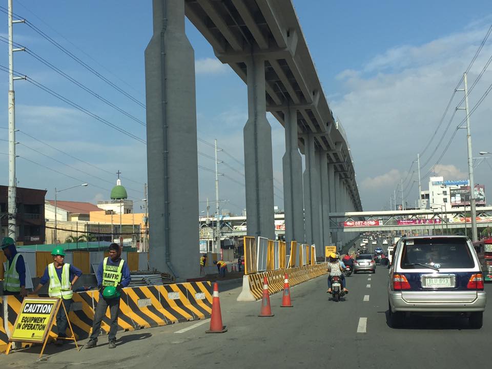
Construction starts for the Line 2 Masinag Station
After several months of waiting, the Masinag Station of the Line 2 Extension project will finally start construction. The contractor has already mobilized and very soon the actual construction work will be starting. Following are photos I captured via my dash cam:
 The contractor, DMCI, already installed temporary traffic signs from Masinag Junction.
 The contractor, DMCI, also already installed concrete barriers to delineate their staging area for the project.
 This is the likely location of the elevated Masinag Station; right across SM City Masinag and Cornell Hospital.
Masinag Station will probably be the highest station for any railways in the entire country judging from the height of the elevated tracks. I have yet to see the plans for this station but it should be a challenge in accessibility. How many steps would it take to go up or down the station and the platforms? How will, and will it be integrated with the surrounding developments like SM?
The Antipolo City Government’s official Facebook page already announced the official ceremony starting the construction to be held on May 30, 2017 (Tuesday). The advisory also cautioned travelers about the traffic congestion expected in the area affected by the construction. Masinag is a major junction where Marcos Highway and Sumulong Highway intersect. Construction period will be 18 months or 1.5 years but given the efficiency by which the same contractor was able to complete the elevated tracks, I am optimistic that they may be able to complete Masinag Station in less time. I wonder though if the ceremony tomorrow also includes the start of construction for the Emerald Station across Robinsons Metro East in Pasig. Let’s just hope that the Line 2 Extension will be operational by end of 2018 and be able to help alleviate the traffic woes along its corridor. This will definitely help improve the transport to the east of Metro Manila and directly benefit those from Antipolo and Cainta in Rizal, and Marikina and Pasig in Metro Manila.
–
Newly opened sections of C-6
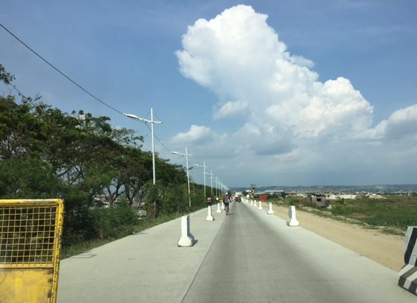
I have been wanting to post these photos of the newer sections of Circumferential Road 6. The section was constructed months ago and is part of a project that seeks to widen the current stretch of C-6 from Taguig (Lower Bicutan) to Pasig (Napindan) from the old 2-lane, 2-way road into a 4-lane, divided road. The new section opened to general traffic along the southbound side (to Taytay) and has improved traffic along the section that’s provided people from Rizal an alternative route to Makati and BGC through Taguig. Only, light vehicles are allowed along the new section and trucks and other heavy vehicles take the old road, which is quite battered by the traffic. Only one lane is currently available as there are barriers along the section as shown in the following photos. Traveling along the section also afford people a nice view of the Laguna de Bay to the right.


–
List of infrastructure projects for the Philippines’ BuildBuildBuild initiative
I was looking for a list of projects said to be prioritized by the current administration in the Philippines and mentioned in the presentation made by government yesterday. Here’s one I found from GMA News:
Infrastructure projects lined up by the Duterte administration
Noticeable for me are the following:
1. No mention of major bridge projects that were heavily hyped both on mainstream and social media – these bridges include those that were proposed to connect the islands of Panay and Negros, Negros and Cebu, and Cebu and Bohol. It doesn’t mean, of course, that these have been abandoned but likely only sidelined for the moment.
2. Break-up of Clark Green City into several components – this seems to be a more realistic approach especially considering how big and complex this project is, and how many agencies or entities are and will be involved
3. Mass transit projects in Metro Manila – these include big ticket projects such as the proposed subway, BRT and the rehabilitation of PNR lines. These are all projects that should have been done a long time ago but for various reasons have been delayed. Say what you will about so much resources being poured into Metro (Mega?) Manila but it is the economic center of the country and efficient transport will go a long way in generating resources that can eventually be used in other parts of the country.
4. Emphasis on Clark Airport – it seems to me that the current administration is focused on developing Clark as the alternative (if not the main) gateway to the greater capital region. This is a departure from the hype we have received about a replacement for NAIA including one that was proposed at Sangley Point in Cavite.
5. Scaling down of Mindanao Railways – instead of pushing for a much grander (and unrealistic I think) railway project for the entire island, they identified a more realistic and perhaps practical line connecting Tagum, Davao and Digos. One colleague noted, however, that this corridor is already heavily serviced by buses and vans so rail ridership is at best threatened from the start.
What’s your take on the proposed projects and the list in general?
–
On the planning and design dilemmas for traffic and highway engineers
It’s the Holy Week so I had some time for some musings. Quite some time ago, I commented on a post a prominent architect made on his social media page that practically blamed traffic and highway engineers for problems for what he considers as flawed designs. He even singled out the Department of Public Works and Highways (DPWH) for being responsible. The reality though is that not all architects are a progressive, innovative and responsible as him. In many if not most projects that civil engineers have engaged in, they are usually provided with what are supposed to be preliminary plans drawn up mainly by architects. Many of these plans though are not really preliminary but in an advanced stage in the design process that often do not involve civil engineers much less transportation engineers or planners.
Granted, the traffic and highway engineers involved in many projects seem to proceed with their work blindly and mechanically, they should also be responsible for being aware of the interdisciplinary nature of these projects. These are civil engineers by profession and many seem to have been indoctrinated with the notion that local guidelines such as those issued by the DPWH are basically the only authoritative references for design. For many, there is no need to be proactive and look for more progressive references such as those on complete streets or people-friendly infrastructure, many of which are now more easily available online than before. There is a National Building Code (NBC) but the provisions, often referred to as minimum standards, are often not followed as one can plainly see in many developments in cities and towns around the country. Parking and driveway provisions, for example, are among those that many buildings do not comply with. Then, of course, there is the case of pedestrian sidewalks; particularly their absence along many streets.
Perhaps there is a need to revisit the education of civil engineers? There have been observations (criticisms?) that most undergraduate programs in the Philippines are “board-oriented”, meaning that the end result for programs are for graduates to pass the CE licensure exam. Memorization of formulas is encouraged. At UP though, early on in civil engineering courses, we already make it clear to our students that infrastructure engineering and planning involves a host of a lot of disciplines including architecture, economics, social and behavioral sciences, and, of course, other engineering fields as well. Maybe CE’s would have benefited from a stronger liberal arts program as what critics of UP’s proposed reduction of GE courses claim? But then you already have a lot of general education subjects in most BSCE curricula especially those offered in sectarian schools. Perhaps the lack of connection with the humanities is not a concern that is entirely to be attributed to one’s education in college but instead is one traceable to more fundamental issues that can be traced to one’s formation from as early as grade school if not high school? But then that’s another topic that deserves its own article…
–
NAIA Expressway – T2 to T3
This is a continuation of yesterday’s post on the NAIA Expressway. This time, I am posting on the trip back from Terminal 2 to Terminal 3. It cost us 45 pesos, which is the same toll fee we paid for the reverse direction. Here are photos I took of NAIA X with some comments on the sections and signs.
 Vehicles coming from Terminals 1 and 2 would have to take the on-ramp after the intersection of NAIA Road and the Paranaque-Sucat Road (Ninoy Aquino Avenue) and just before the intersection with the Domestic Airport Road.
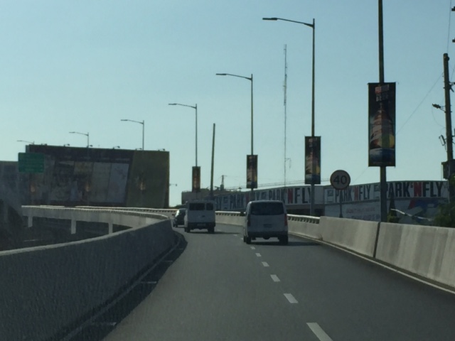 That’s the Park’N Fly building that is located at the corner of the NAIA Road-Domestic Road intersection.
 Vehicles bound for Terminal 3 and the Skyway should keep right.
 Traffic will merge with those coming from Macapagal Boulevard.
 Speed limit and signs for merging traffic
 The three lanes include the merging lane at right.
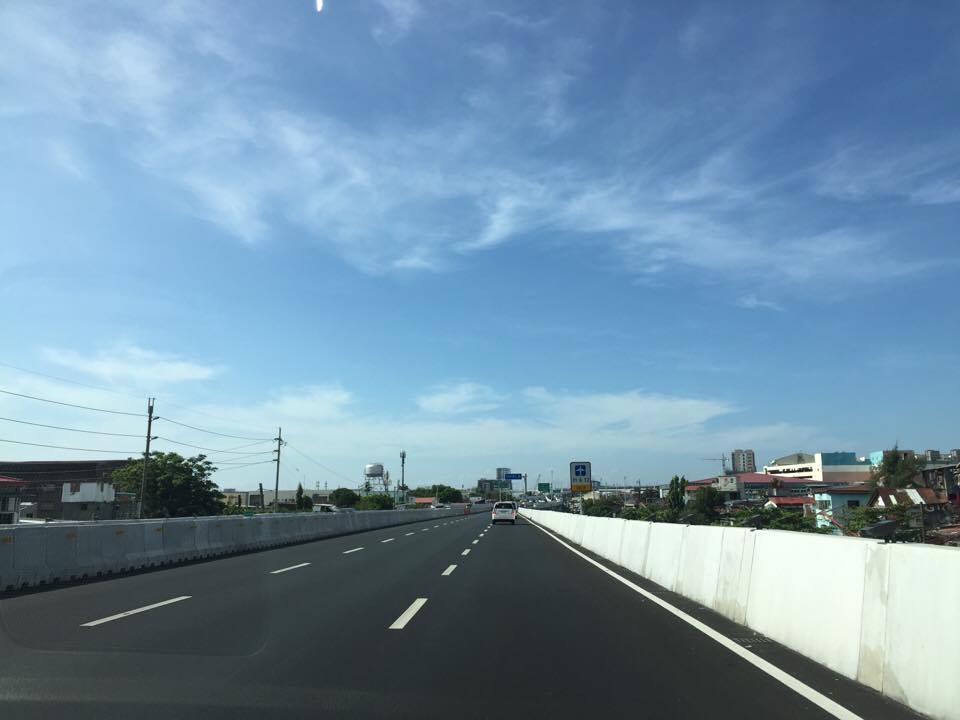
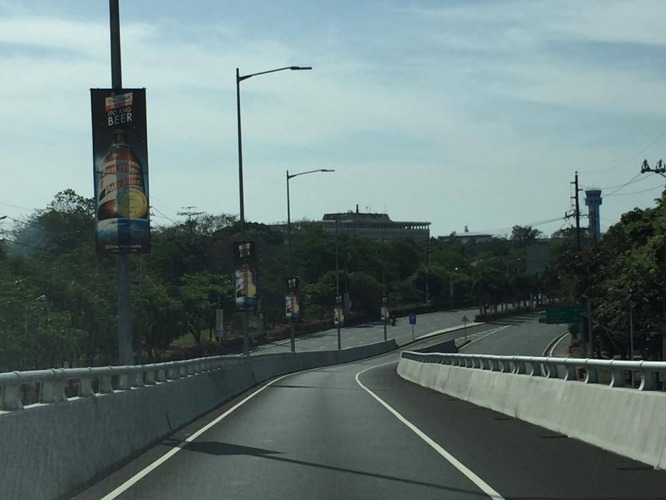
 Noticeable along the NAIA X is the lack of shoulders. Although the lanes appear to be wide, drivers may become uncomfortable when two vehicles are side by side due to the perception of constricted space.
 There are lots of reflectors installed on the media barriers. There are also a lot of ad space with tarps installed on each lamp post along the expressway.
 Sign informing travelers of the toll plaza coming up ahead.
 Directional sign guiding vehicles bound for the Skyway or Terminal 3. My colleagues and I agree that instead of just stating “Skyway”, the sign should state “Skyway/C5/Nichols”. Travelers who are not heading south and unfamiliar with the NAIA X off-ramps would likely take the Terminal 3 exit and end up passing through T3. There is actually another off-ramp leading to Andrews Avenue and eventually Sales Road (formerly Nichols) so you don’t have to pass through T3. We made that mistake and ended up going through T3.
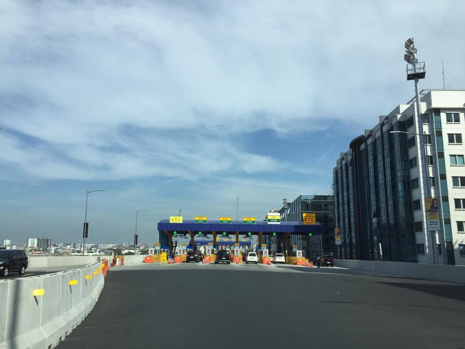
 Toll plaza prior to the T3 exit ramp
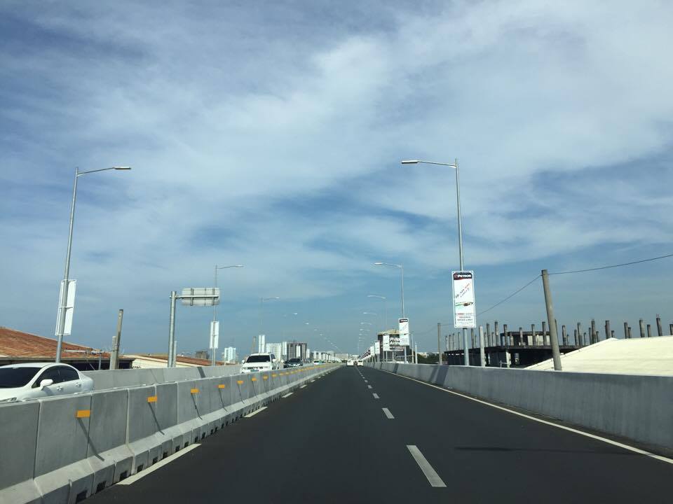
 Section just after the toll plaza
 Off ramp
 Standing vehicles right next to the off-ramp with their drivers likely waiting to fetch arriving passengers. It is practically impossible to make a hard left to avoid going into T3 so you have no choice but to go through the terminal via the departure level (elevated) or the arrival level (ground).
–
NAIA Expressway – T3 to T2/T1
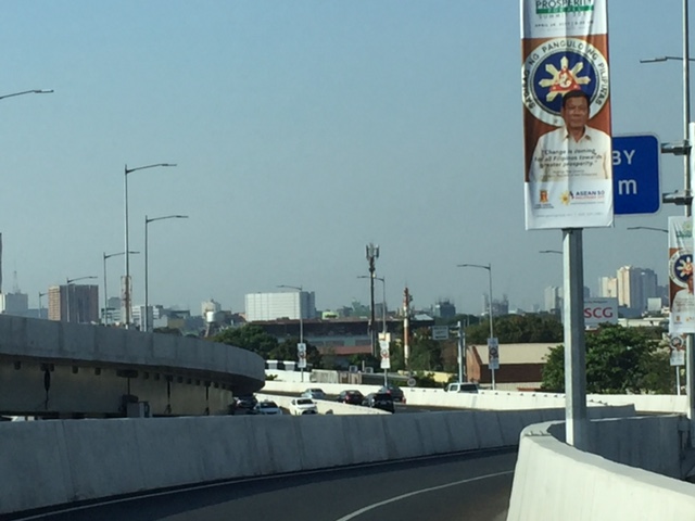
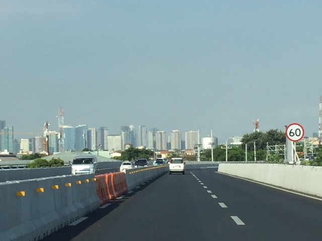
Last Friday was our first time to use the NAIA Expressway. This was one of the major projects under the last administration and under the Public-Private Partnership (PPP) program and became operational last year after being delayed (It was not operational during the APEC summit in 2015.) for some time. I also commented on the need for NAIA X in one post before as I preferred to have a transit system instead. NAIA X is basically and mostly beneficial to cars and not necessarily for public transport. It also practically limits if not eliminates the possibility of having elevated transit (e.g., monorail or AGT) to connect the 4 terminals among them as well as to areas outside the airport zone (BGC, Makati, etc.).
I thought this post would be a useful one for travelers especially those coming in and out of the airports at this time of the year. A lot of people are departing or arriving at the Ninoy Aquino International Airport (NAIA), which is a main gateway to Metro Manila and adjacent regions. It can get congested along the roads between the four terminals of the airport and since there is not internal transport system linking them, travelers would need to travel along public roads. It cost 45 pesos (less than 1 USD) for the stretch from Terminal 3 to Terminal 2 (same if you’re headed for Terminal 1), and I thought it was well worth it considering it can really be quite congested between the 4 terminals. That congestion has already victimized a lot of people before with many missing their flights. But then perhaps one major cause of that congestion was the construction of the NAIA Expressway?
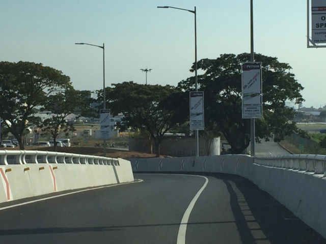
 Entry ramp across from Terminal 3 and before the Sta. Clara church at Newport City
 Toll plaza where travelers pay upon entry to the tollway
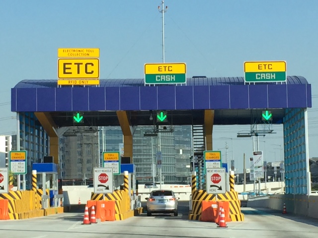
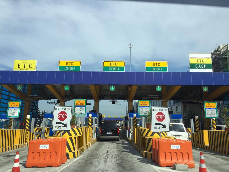 Just before the toll plaza where most booths are for mixed ETC/cash transactions
 Upon exiting the toll plaza, travelers have to deal with multiple lanes merging into two
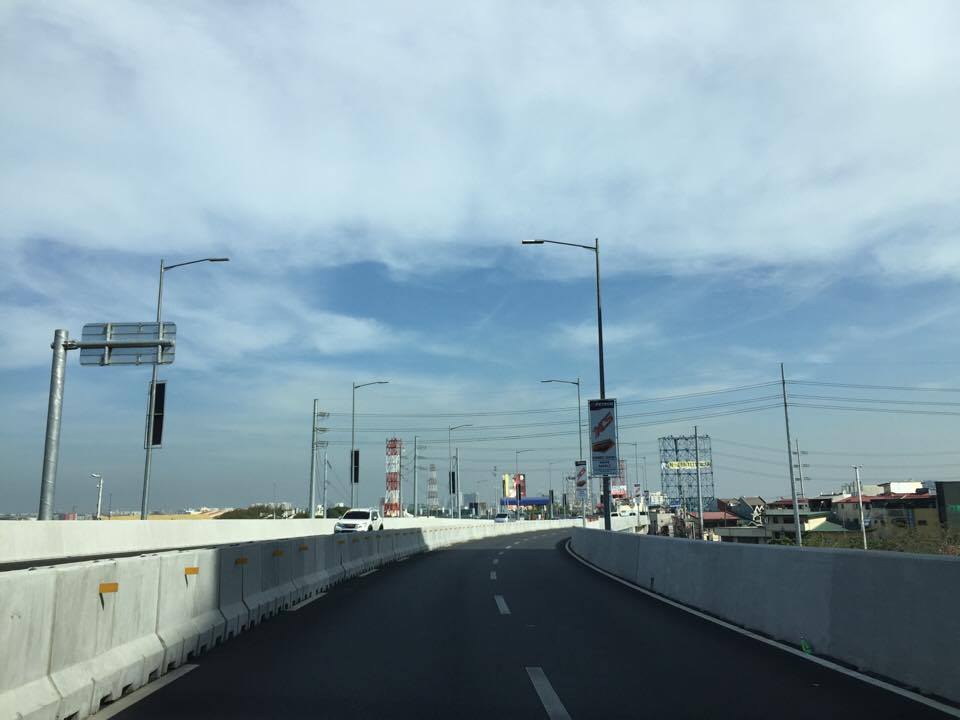 Two-lane section with neither shoulders nor “elbow room”


 Directional sign providing guidance especially for vehicles headed to Terminals 1 &2
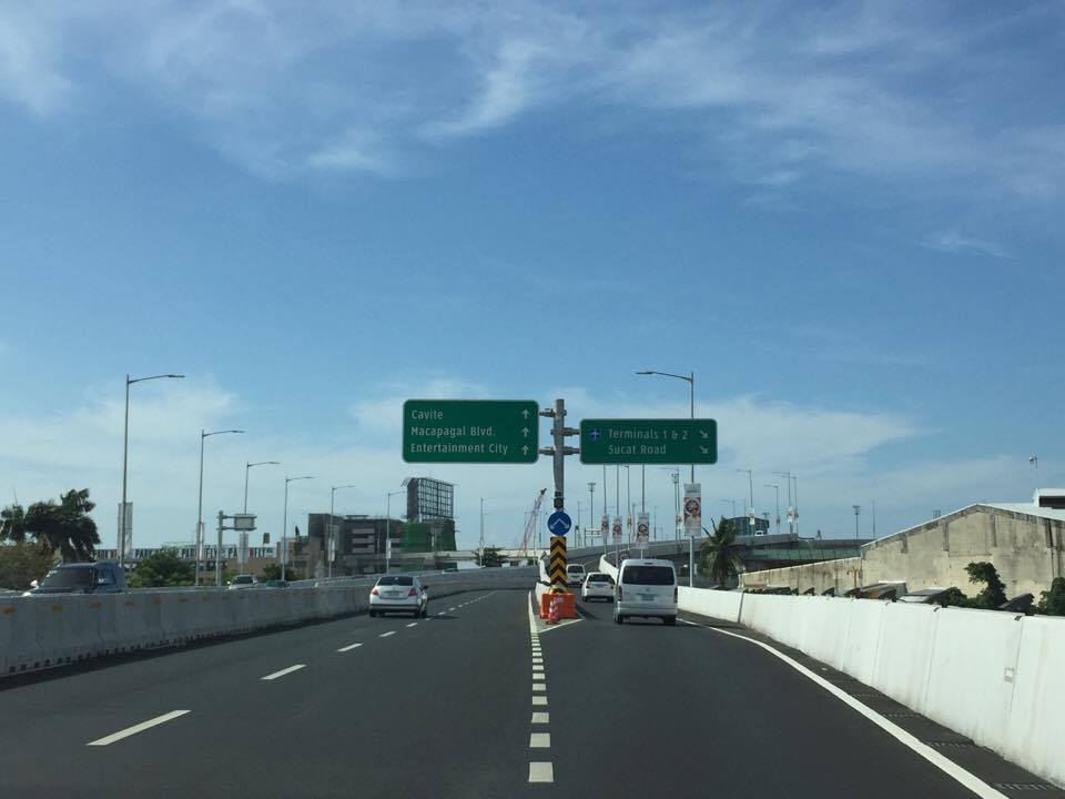 Directional signs for vehicles bound for Cavite and Macapagal Blvd (left) and Terminals 1 or 2 (right)
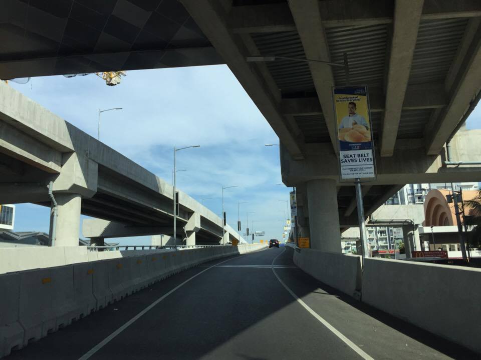
 The tollway section goes underneath the section headed towards Macapagal Boulevard and the Coastal Road
 The lane from Terminal 3 merges with another from the Coastal Road
 Signs showing which side to stay along towards either Terminal 2 or 1
 Fork in the road – the tollway branches our to either Terminal 2 or Terminal 1
 Off ramp towards Terminal 2
Next: Terminal 2 to Terminal 3
–
First call for papers for the TSSP 2017 conference
The first call for papers for the 24th Annual Conference of the Transportation Science Society of the Philippines came out last Wednesday, Feb. 15:
–
Opposition to C-6
There had been no significant developments for the Circumferential Road 6 (C-6) not counting the road widening and concreting along the sections at Lupang Arenda in Taytay, Rizal. Meanwhile along its lakeside alignment in Taguig, a 2-lane road has been constructed apparently as part of the widening of the section for what maybe a future 4-lane road with a median island dividing opposing flows of traffic.
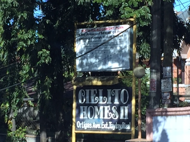 Sign apparently put up by this residential subdivision’s homeowners’ association
 Close-up of the sign shows opposition by the residents to the proposed C6 alignment to pass through their homes.
I haven’t heard or read about anything new or updates about C-6. It seems to be tied to other projects including a proposed elevated tollway along the shores of the Laguna de Bay. The alignment though to the north seem to be unresolved and will definitely be a big concern for many developed residential areas including those in the Province of Rizal.
–
