
Home » Infrastructure (Page 19)
Category Archives: Infrastructure
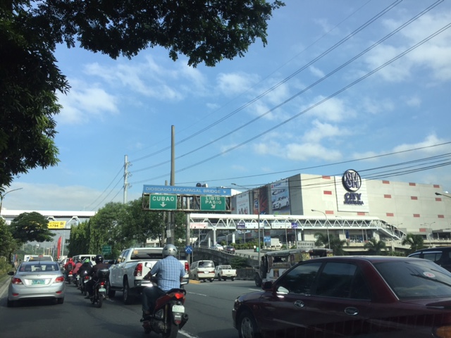
Updates and resolution on the common railway station in North-EDSA
The big news today is the agreement among the government and the big corporations involved in the issue of the common station at North Avenue-EDSA where three rail transit lines (Line 1, Line 3 and the future Line 7) will be converging. The key features of the agreement are reproduced here:
“KEY FEATURES OF AGREEMENT
- The Common Station has three components: (a) Area A, where the platform and concourse for LRT-1 and MRT-3 are located; (b) Area B, which consists of two Common Concourses connecting Area A and Area C; and (c) Area C, where the platform and concourse for MRT-7 is located.
- Area A will be financed and built by DOTr. Area B will be financed and built by Ayala and its partners (NTDCC) (this is Ayala’s contribution to the Common Station project). And Area C will be financed and built by San Miguel.
- The portion of Area A for LRT-1 will be operated, maintained, and developed by LRMC. The portion of Area A for MRT-3 will be operated, maintained, and developed by DOTr. Area B will be operated, maintained, and developed by Ayala. And Area C will be operated, maintained, and developed by San Miguel.
- The MOU contains the design parameters for the Common Station, which will be the basis of the Detailed Engineering Designs to be developed after signing of the MOU. The Detailed Engineering Designs will be completed within 240 calendar days from signing date.
- The designs shall ensure that a defined level of service is maintained at all times by all components of the Common Station.
- The designs shall ensure that all components of the Common Station are interconnected, and that SM City North EDSA and Trinoma are interconnected to the Common Station.
- The Common Station is targeted to be completed by 2 April 2019, subject to extension as may be justified under the MRT-7 Agreement with respect to Area C.
- SM’s TRO will be lifted soon after the Detailed Engineering Designs are completed.
- DPWH will build an underpass along EDSA at the area where the Common Station will be constructed. This will be financed and built by DPWH.”
That was a direct copy and paste from the DOTr’s Facebook page.
There is another piece of information that’s gained a popular following and that is the design for the common station that was shared to the public:
Proposed design of the common station
I think the design is basically okay in terms of location. The layout would need to be refined in order to address concerns pertaining to optimum and efficient transfer of passengers between lines. I assume from the drawings that all three lines will be at the same level but with a plaza separating Lines 1 &3 from Line 7. There are also issues pertaining to proposed road grade separation in the area but that seems to have been addressed already by item #9 in the preceding list. We can only hope that the current government and private sector partnership can expedite this project.
–
Another look at Marcos Highway overpasses – Part 3
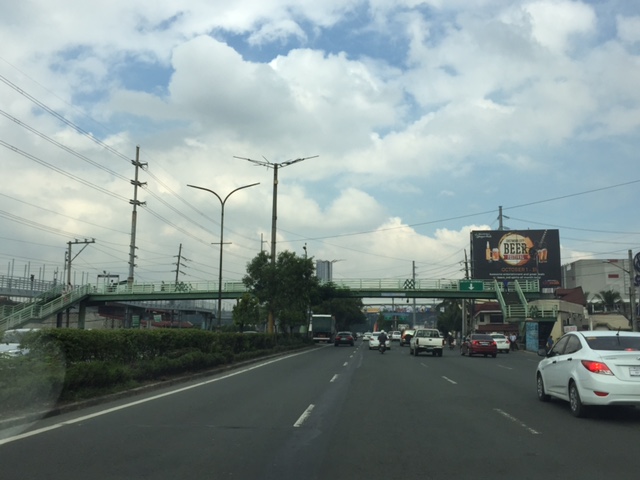
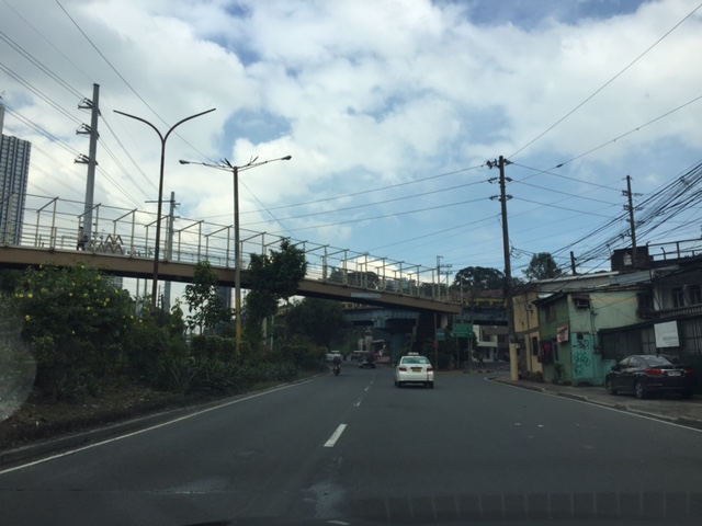
The overpass at SM City Marikina is a bit more complex than what it looks like across the bridge. Here are some photos of the footbridge connecting the mall with the Santolan Station of Line 2:
 The overpass is a very long one and provides users with a partially covered walkway connecting to the LRT Line 2 Santolan Station. I say ‘partially’ because the roof over the overpass extends only across Marcos Highway.
 Note the covered bridge is only until the other side of Marcos Highway. From there it is an open overpass as shown at the left in the photo above.
 A closer look at the SM Marikina overpass shows just where the cover ends. There are stairs here leading to the loading/unloading bays across from the mall. There is also a path that leads to stairs to the public transport terminal under the bridge. There is a sign with a blue background in the photo stating the terminal is named after a former MMDA Chair who was also a mayor of Marikina and currently one of its congressmen.
–
Another look at Marcos Highway pedestrian overpasses – Part 2
I purposely didn’t include the overpasses at and near the Masinag Junction because I felt they deserved their own article. For one, the area will be the location of the future end station of the current LRT Line 2 Extension project. Here are a couple of photos of the overpasses in the area.
 Overpass at SM City Masinag – note the tall columns for the elevated tracks of Line 2. Will the Masinag Station be located that high or will it be at a lower level, perhaps closer to the SM City overpass?
The overpass at SM City Masinag is something that has been replicated in many other locations where an SM mall has been constructed. Note the similarity of the situation with the likes of SM City Iloilo, SM City Novaliches where SM built pedestrian facilities to allow for safe crossings between the mall and the area across from it along the highway. In many cases, it is the mall which provided the overpass in coordination with the local government unit and, I assume, the DPWH.
 Overpasses at Masinag Junction – there are actually 4 bridges here, each spanning one leg of the junction.
One of the intents for these is to eliminate at-grade pedestrian crossings at the junction. While crossing have been reduced significantly, there are still many “pasaway” who cross even when there is a green light for vehicular traffic along the leg they are crossing. Traffic enforcers here are quite lax about this and don’t seem to put in an effort to inform people about the overpass. There is no excuse for those who might claim they are too old or weak to climb the steps since the overpass has 4 working elevators for those unable to make the stairs. I noticed though that most of those using the elevators are able bodied people who probably are just too lay to take the stairs.
–
Another look at Marcos Highway pedestrian overpasses – Part 1
My daily commute allows me to have a look at the progress of the LRT Line 2 Extension construction. I also became curious about the situation of the pedestrian facilities along Marcos Highway particularly the crossings since many at first seemed to be affected by the elevated rail structure that was to be built. Now, we already have a good idea of the fates of these pedestrian overpasses. This article shows the conditions/situation of pedestrian overpasses (also called footbridges) along Marcos Highway. Most overpasses are not covered; exposing pedestrians to the elements. Most are also made of steel, which can be traced to the MMDA’s (and later the DPWH’s) preference for these structures.
 Overpass near Filinvest East-Vermont Park gates – the overpass actually is between a technical college and the commercial building across from it.
 The overpass across from Vermont Royale in front of a new Shell service station was actually among the newest facilities along Marcos Highway. Apparently though, it was built without considering the impending construction and design of the Line 2 extension. As such, the overpass needs to be modified or would have to be reconstructed elsewhere near the area.
 Overpass at Town & Country Executive Village that is also near the San Benildo School
 Overpass at Marcos Highway-Felix Avenue-Gil Fernando Avenue intersection – is probably the busiest among the pedestrian overpasses as it is at a busy junction where there are major commercial establishments (i.e., malls) and where many public transport routes converge.
 Robinsons Metro East overpass – this one also survived the clearance requirements with respect to the elevated superstructure for the Line 2 extension. However, since one of the two stations to be built will be nearby if not right across (part of the station at least) from the mall, then the station itself may function as an overpass.
 Overpass at De la Paz – note the ramp for bicycles and wheelchairs. This is one of the more bike- and PWD-friendly facilities along Marcos Highway. The slope is gentle enough for pedestrians, too, especially senior citizens who might have difficulty with steps.
 Overpass at Ligaya – this one also has ramps that make it easier for people to use to cross the busy highway. This will eventually be the closest overpass to the huge Ayala mall (Feliz) currently under construction at the Marikina side of Ligaya. I suspect that there might be a need for another overpass to be built with respect to the mall for one to directly serve the mall’s customers.
 Line 2 Santolan Station overpass connects the Marcos Highway westbound public transport stop with the rail station along the eastbound side of the highway.
 A closer look at the Santolan Station overpass, which is used by a lot of Line 2 passengers who cross the highway to continue on their journeys/commutes via train from their origins in Rizal, Marikina and Pasig. During the mornings, the observer will see a lot of jeepneys and UV Express vehicles emptying of passengers who cross the bridge to get to the station.
 Santolan footbridge – this is actually more complicated than what is seems in the photo because the steel footbridge also connects to the SM City Marikina overpass (which is not included in this compilation but is visible in the photo). The footbridge branches to provide and almost direct connection between the mall and the Line 2 Santolan Station. That structure is shown at
 Monte Vista footbridge allows people to cross Marcos Highway (at its Marikina/Quezon City end) to and from A. Bonifacio Avenue, which is in Marikina City (Barangka)
More on pedestrian overpasses in the next post!
–
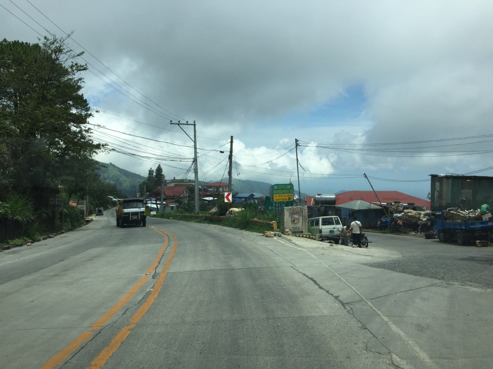
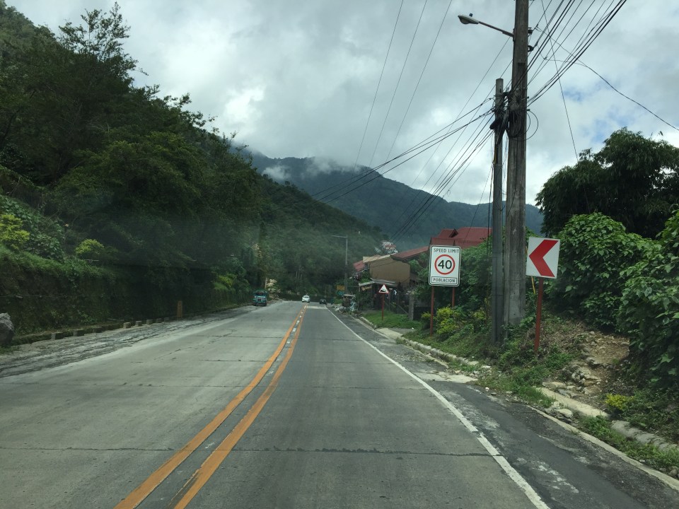
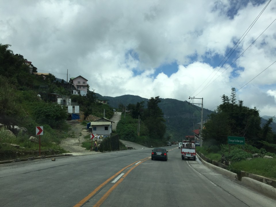
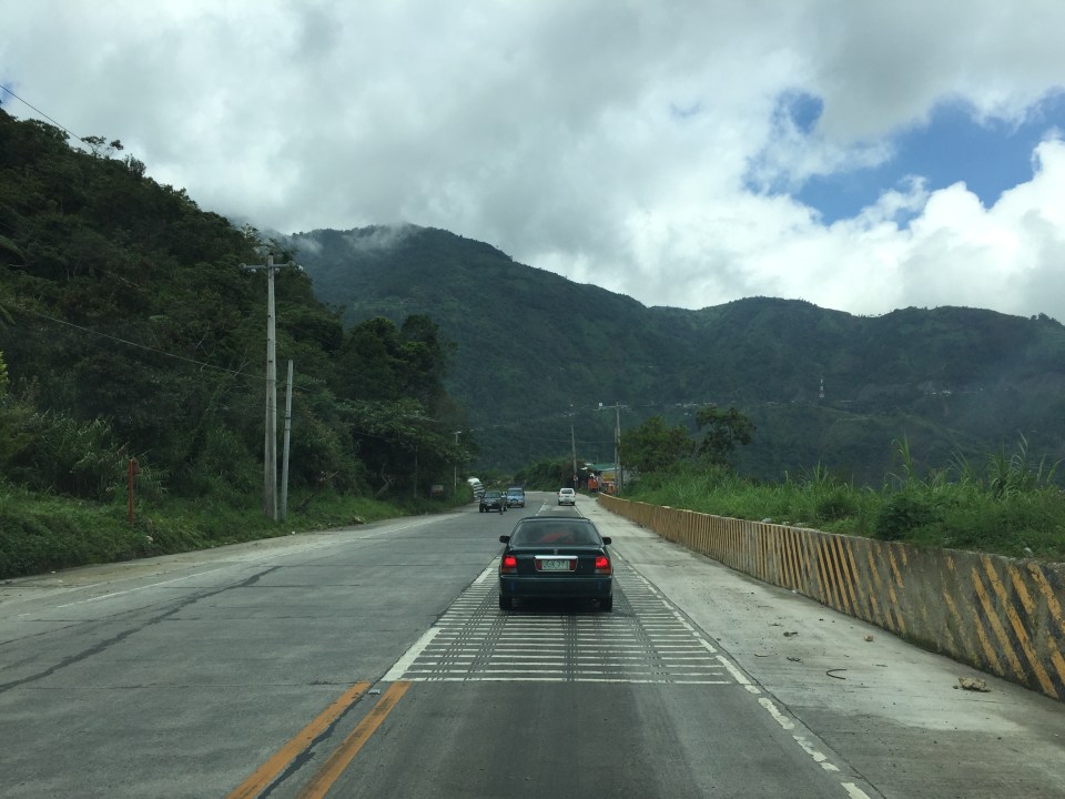
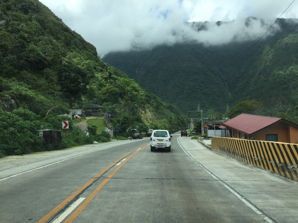
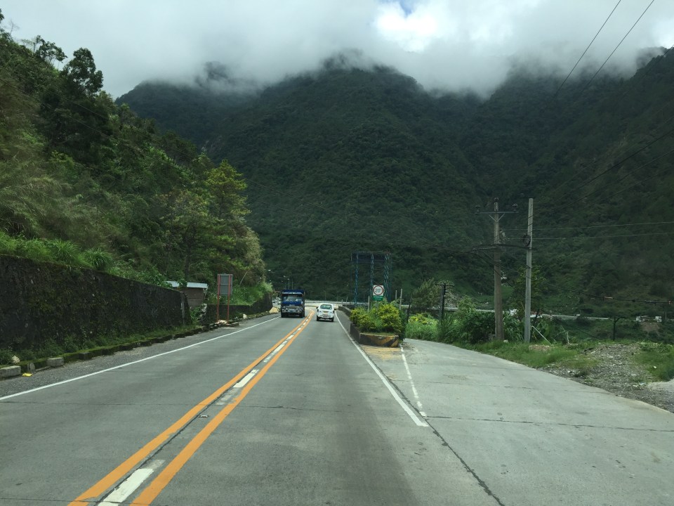
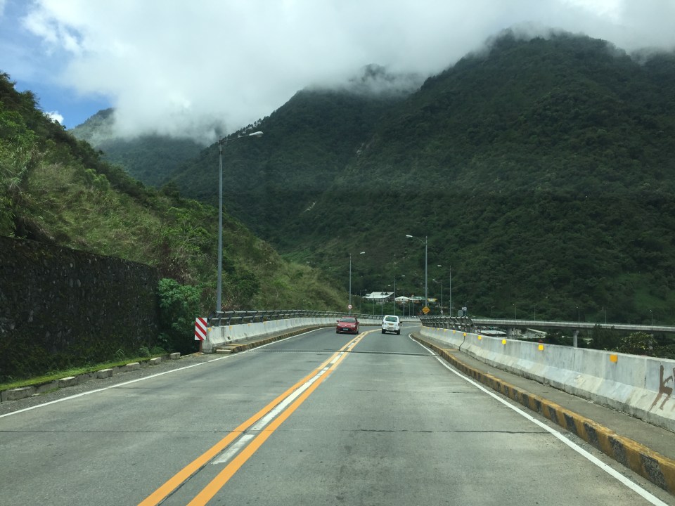
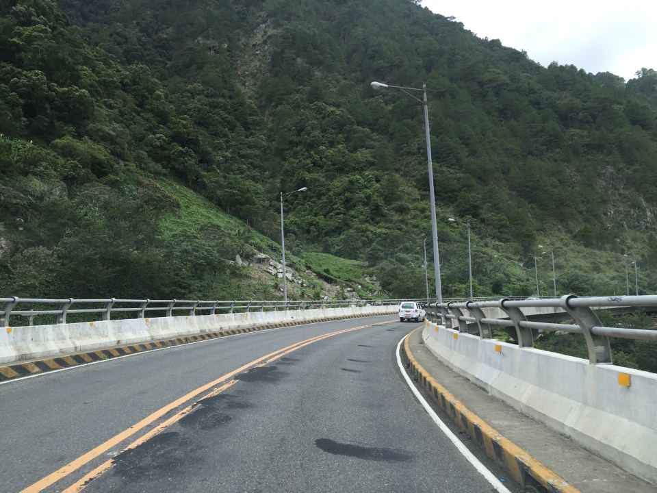
Roads to Baguio: Marcos Highway – Part 3
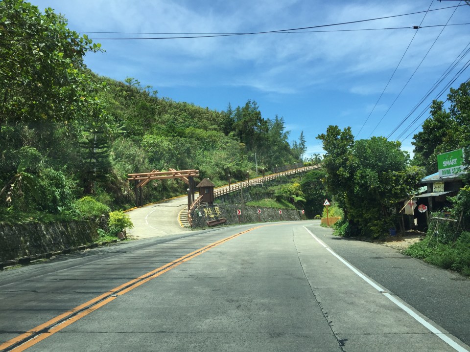
Still on Marcos Highway, the following photos complete this feature from my most recent trip to a city dubbed as the summer capital of the Philippines. This is the third part of the series on this major road to/from Baguio City, and sections pretty much show very similar characteristics as the previous ones in the preceding posts. Its been a while since the Part 2 of this series and since then, an additional section of the Tarlac-Pangasinan-La Union Expressway (TPLEX) has been opened further cutting down travel time between Manila and Baguio to 4 hours.
 We start with a series of curves. Here is a section complete with signs and markings to guide and protect road users.
 The approach to this curve reveals the uneven terrain on which the road was built.
 These row houses and their driveways seem too close to the road
 That’s a poorly placed driveway right in the middle of the curve
 Many motorists tend to overtake slower moving vehicles via the opposing traffic lane. Here is a bus undertaking a passing maneuver at a curve!
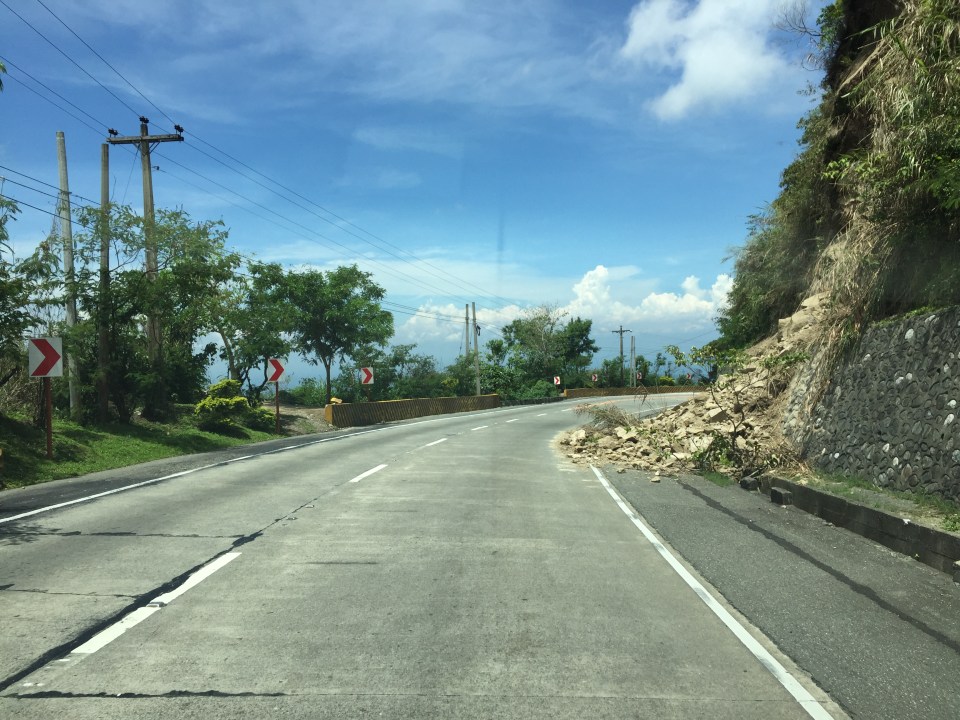 Rockslide – these are frequent along mountain roads such as Marcos Highway. They are even more frequent along Kennon Road and Naguilian Highway.
 Yet another section this time showing a reverse curve.
 Here are a few more of the big bikes we encountered on our trip down from Baguio. These are of the same group of bikers in Parts 1 and 2.
 Many sections of Marcos Highway have excellent sight distance and have usable, paved shoulders.
 There is significant truck traffic along Marcos Highway. These, especially the loaded ones, often slow down traffic. In certain cases, trucks form platoons making it difficult to pass them.
 I was not surprised to see a school along the highway since there are many communities along the road. This is a good example of standard signs and markings including a pedestrian crossing.
 The curve is not a good location for a home.
 The pavement at this section is intriguing as the road seems to have had a different orientation in the past. I suspect this was formerly a paved bay (for emergency stops or for loading/unloading passengers) in what used to be an unpaved shoulder.
 The position of this driveway is quite risky and motorists from both the highway and the driveway will be blind to each other.
 The section shows also what looks like a bay along the inner (left in the photo) side of the highway. Note that the shoulder is rather narrow along the ridge-side (right).
 Curve sections like this offer picturesque views but are actually are treacherous. The barriers are supposed to prevent vehicles from ‘flying’ out of the highway. Their designs should arrest large, heavy vehicles that may lose control and collide with the barriers.
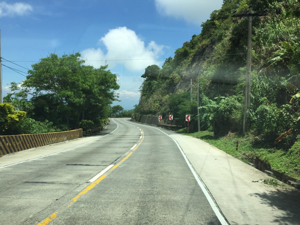
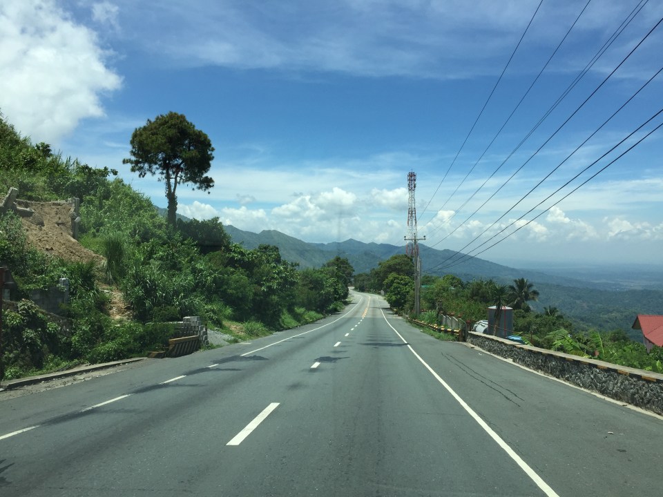 Marcos Highway offers many breathtaking views and excellent sight distance along many portions.
 This is the final stretch of Marcos Highway that terminates at the intersection with the Manila North Road, which is part of AH-26.
–
Monorail in Manila? A proposal in 1969
I am involved in an inter-disciplinary research program with the Third World Studies Center and the Department of Geography of the University of the Philippines Diliman’s College of Social Science and Philosophy. I am very impressed with my co-researchers being able to find a lot of material including tons of stuff on the Manila tranvia from the National Archives of the Philippines. These are currently being scanned and electronic compilations relevant to the program will eventually be made available as part of the deliverables of the projects.
One of the materials they found was a report on a proposed monorail system in Manila. What we first thought was a single line from an old news report that researchers found turned out to be a network. Here is an excerpt of the report on the proposed monorail system in 1969.
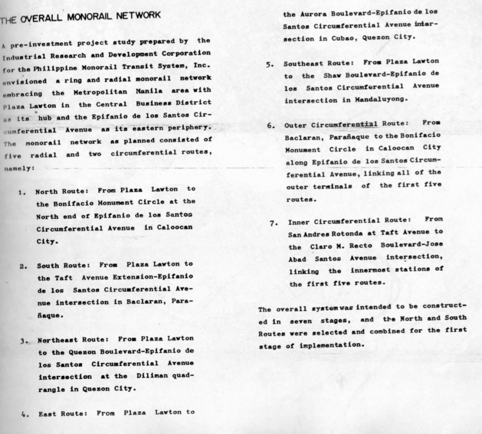
I am posting this snapshot of the monorail report partly for readers to be able to grasp what was going on in terms of public transport planning decades ago. This hopefully allows us to have a firmer grasp of issues behind why public transportation in Metro Manila is so bad. This is given the so many opportunities we had in the past to have something that could have laid the foundation for a more efficient system. While this may be interpreted as some as fault-finding, I would rather look at it as an exercise in learning from a past where a lot of fateful decisions were made regarding both road and rail transport, many of which we now know were unfavorable to public transport and its users, the greater majority of the commuting public. Hopefully, too, this post can generate healthy discussions to point the way forward in improving public transport not only for Metro Manila but other Philippine cities as well. While we can imagine what we could have had now if such systems were realized, we can still look forward to what we can actually have (and for the next generations to benefit from) if we do act towards a better transit system for our cities.
–
Roads to Baguio: Marcos Highway – Part 2
To open September, I continue on the feature on Marcos Highway. Following are more photos I took on our way back to Manila from a short vacation in Baguio.
 Many sections of Marcos Highway have some form of protection against landslides or rock slides. Note the concrete faces fences along the left in the photo.
 There are many structures along the highway including houses and stores
 The mountain limits sight distance along curves like this.
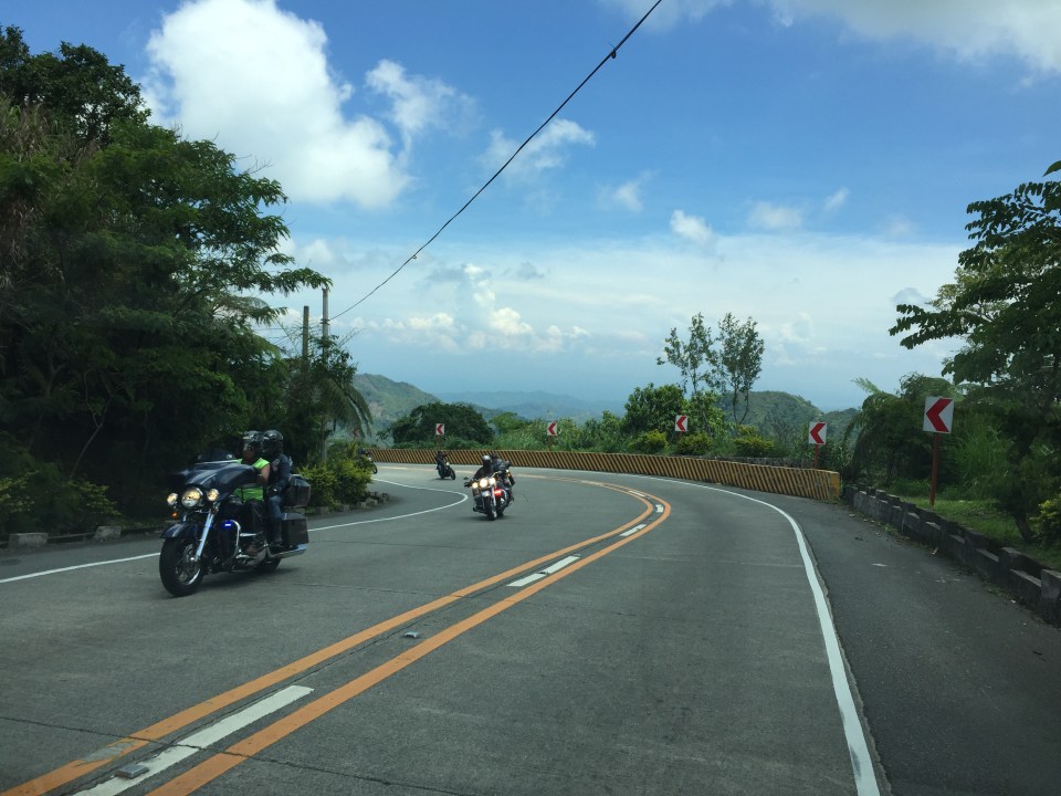
 We encountered this group of motorcyclists heading up to Baguio on what appeared to be what is termed as “big bikes”, that typically are the more expensive ones, too. Other photos in this series will show these motorcycles. I lost count of them while we were traveling the opposite direction.
 This seems to be a popular stop for hungry travelers. The location though and its driveway are not at all desirable from the highway engineering perspective.
 Combination of signs to guide motorists along this sharp curve.
 Curved sections like this one offer breathtaking views of the mountains.
 Shoulders may function as space for emergency stops including for breakdowns or changing tires. Full shoulders allow for stopped vehicles to be completely clear of the traveled way. That is, they don’t pose as obstacles that traffic would need to evade.
 More examples of poorly located establishments along a curve
 The road seems to disappear in the mountains
 Another home along the highway and right at one of the curves. This one seems to be wisely located behind the barriers though its pretty obvious where their driveway is located.
 Conspicuous location for a religious site along the highway
 More motorcyclists and their big bikes
 Barriers along both side of the highway seem sturdy enough to keep vehicles from flying off the road in case their drivers/riders lose control. This section offers enough to satisfy sight distance requirements and noticeably does not feature double yellows like the other photos in this post.
 A residential community along the highway including this big house just clear of the shoulder.
 Another community including a home atop the mountain. The barriers appear to be newly constructed along with the PCC paved shoulders. These would have to be painted for them to be visible to motorists especially at night-time or when visibility is poor.
More photos of Marcos Highway soon!
–
On being constructively skeptical on transport and traffic
Social media is full of news or what is being passed off as news about various transport projects or initiatives. These include a proposed subway line for Metro Manila, road sharing initiatives, inter-island bridges, gateway airports and others major infrastructure projects that are being conceptualized, planned, studied or designed. Too often, people who support the projects/initiatives brand those who do not share their enthusiasm and interest as skeptics and even simply “nega” or negative people. These supporters and their opposites are most likely those who fall under one or more of the following categories:
- Overly optimistic
- Unaware of the process towards a project’s realization
- Troll
- Naive
Hopefully, he/she is not of the third kind who basically are posting against anyone and don’t really have any valuable opinion or constructive comment to offer. There are many groups and individuals out there including those who claim to be fanatics of urban planning, railways and other things on transport. Some even get to write in mainstream media. Unfortunately, to the untrained minds their opinions passed on as expert advise appear to be legit and that can be especially true to people who are more inclined to believe them such as very fanatics and trolls I mentioned. It is very important that proper research is undertaken before any article is written. Otherwise, there will always be bias. Of course, some articles are written with bias a given and with the objective of misleading people.
When government officials (or candidates) claim something and offer nothing as concrete proof (e.g., numbers to support a claim of improving traffic), one has to think twice about believing them. One has to be critical of such claims. Promises are often just that – promises. It is important to ask how certain programs or projects will be delivered, how infrastructure will be implemented (i.e., through what mode of financing, timelines, etc.), and what would be its impacts (i.e., social, environmental, traffic). Of course, it should be expected that officials provide suitable answers to these queries.
It should also be expected for officials to understand that institutions such as the academic ones are there to provide objective criticism. Unfortunately, there are those in the academe who themselves have some agenda they are pushing and can be deliberately misleading and misinforming with their flawed assessments and statements. Then there are experts who offer nothing but negative comments. To these people, any idea not coming from them are essentially wrong and it is often difficult to deal with such people among whom are experienced engineers and planners. Being a skeptic is one thing but being a constructive skeptic. That is, one who offers solutions and also willing to tread the middle ground or some reasonable compromise based on the situation and conditions at hand.
This is why an evidence-based approach is needed and should be mainstreamed in many government agencies, particularly those that are involved in evaluations. National agencies like the NEDA, DOTr and the DPWH have the capacity and capability to perform quantitative analysis using recent, valid data. The quality of data tells a lot about the evidence to back up analyses, evaluations and recommendations. One must not forget that with quantitative analysis it is always “garbage in, garbage out”. That is, if you have crappy data, then you will have flawed analysis, evaluations and recommendations.
–
Roads to Baguio: Marcos Highway – Part 1
In my recent trip to Baguio, I made sure to take new photos of roads particularly the major ones that made that city in the mountains accessible. Of course, one objective was also to have an updated selection for my highway engineering lectures. Following are the first batch of photos I took of Marcos Highway last June 2016. I won’t be writing a caption for many of these photos as well as those in the succeeding batches. I’ll just put these here for others to refer to whether for practical uses or for research.
 I found it unusual to see double yellow along a relatively straight and level section of Marcos Highway. It is perhaps a section where there have been a significant number of road crashes?
 There are many roads built to provide access to areas previously uninhabited but now have houses giving some spectacular mountain views.
 There are rumble strips along many sections of the highway; seemingly there to wake up travelers that where getting sleepy.
 It can get quite foggy along the highway

 Old barriers look sturdy enough to prevent heavy vehicles from falling off the highway.
 One end of the viaduct alongside the mountains
 There are communities in many places in the mountains along the highway. Access would be via local roads, some of which are private roads.
 I thought perhaps bridges and viaducts in the Philippines should have shoulders and more generous space for pedestrians.
 The van in the photo enters the highway from one of the many driveways and local roads connecting to the national highway.
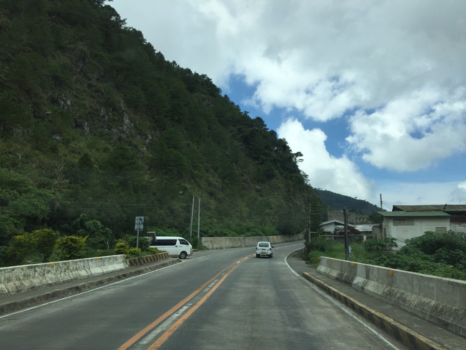
 What appears to be a tunnel for many people is actually a roof structure to protect travellers and the road from landslides.
 During the day, it is bright inside the structure given the openings along one side of the highway.
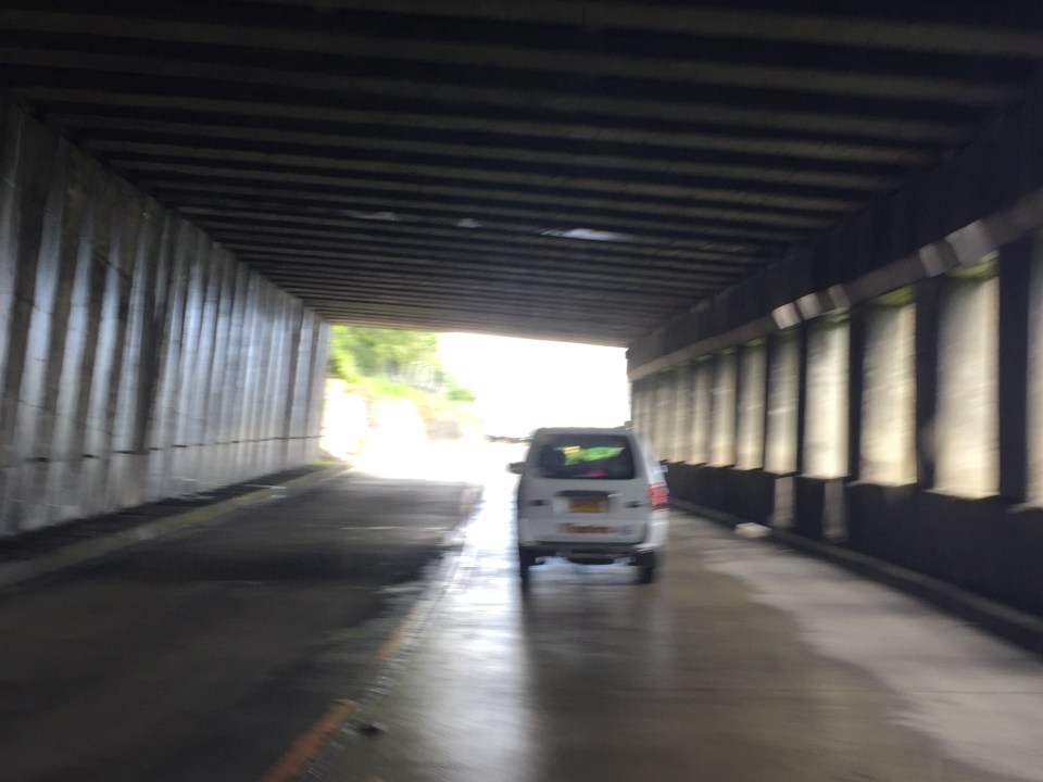 The light at the end of the tunnel?

More photos in Part 2 coming up soon.
–
Another look at the Tacloban Airport
The Daniel Z. Romualdez Airport in Tacloban City is the busiest in Region 8 (Eastern Visayas). Tacloban being the regional center in terms of commerce/business, attracts significant air traffic and should continue to do so as it steadily recovers from the devastation brought about by Typhoon Yolanda (Haiyan). Following are photos of the airport from our recent trip to Leyte, where we had meetings in Tacloban and Ormoc.
 Passengers arrive at the Tacloban Airport
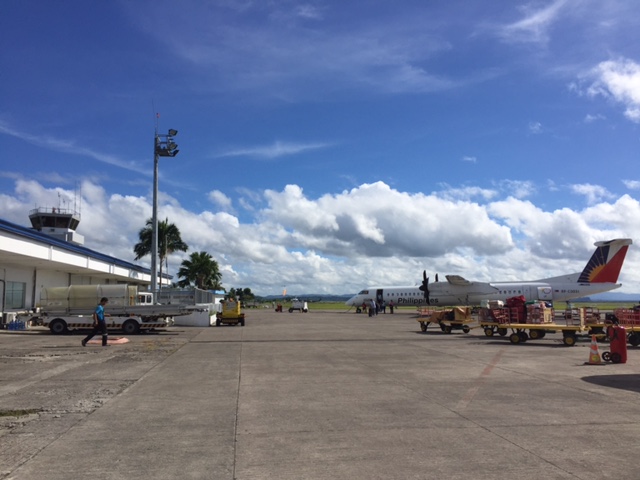 Philippine Airlines turboprop aircraft arriving at the airport
 Cebu Pacific passengers disembarking from the plane
 Passengers waiting for the checked-in luggage at the carousel
 Passengers file out of the arrival area unto the terminal’s driveway and parking lot
 Visitors may inquire about the Tacloban at the city’s information desk located at the arrival area.
 Sign of a rent-a-car service at the airport showing rental options and available vehicle models.
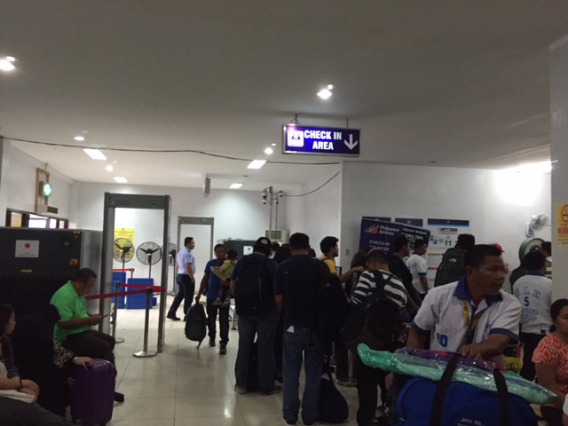 Crowded check-in area at the Tacloban airport passenger terminal
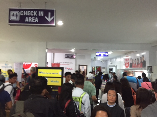 There were long queues at the check-in counters as well as the payment booths for the terminal fee.
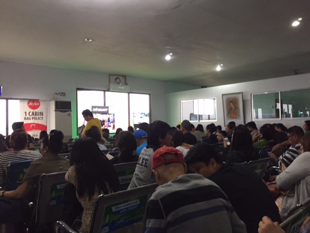 We entered a very crowded departure area as flights were delayed and people accumulated at the terminal. These are Air Asia passengers.
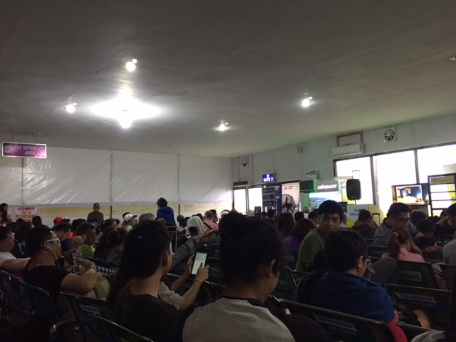 These are Philippine Airlines and Cebu Pacific passengers. Notice the temporary wall behind which is a section of the departure area that’s being renovated.
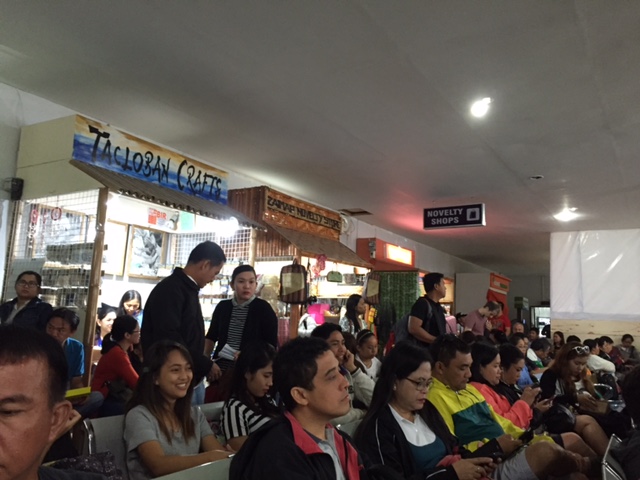 Shops at the departure area sell souvenirs and food items including local delicacies like moron and binagol.
The airport terminal is already very congested and it doesn’t help that flights are frequently delayed for various reasons. In the aftermath of Typhoon Yolanda (Haiyan), there have been proposals to move the airport to another location. However, it now seems that there is no better location for this within the city and elsewhere in the province. There are opportunities and potential though to improve the current airport and perhaps make it more resilient against typhoons of the scale of Yolanda.
The proposed new passenger terminal building is already much delayed and the runway can be extended. The latter is now possible with the areas for the extension already cleared of informal settlers mainly due to these areas being ravaged by Yolanda and authorities not permitting people to rebuild their houses there.
–
