
Home » Posts tagged 'Pasig' (Page 6)
Tag Archives: Pasig
C6: Bicutan to Napindan
I wrote about Circumferential Road 6 (C-6) in a previous post where I featured some photos taken while we were en route to the DOST compound in Bicutan, Taguig City. It was originally constructed as a dike road, an access road along the barrier constructed along the coast of Laguna de Bay to provide additional protection to Taguig City against the lake waters breaching the banks during incidence of heavy rains. Once the link between Taytay, Pasig, Pateros and Taguig was completed, however, traffic significantly increased as C-6 provided a very convenient alternate route for people residing in the east who had to go to Makati, Taguig or southern Metro Manila mostly for work trips. Following are photos showing C-6 from Bicutan to Napindan, before crossing to Pasig City.
 Tree-lined – one can imagine how the highway will look like once the trees planted along either side are full-grown
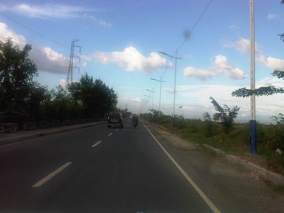 C-6 is a two-lane, undivided highway with a sidewalk along the Taguig side and a shoulder along the dike along the coast of Laguna de Bay
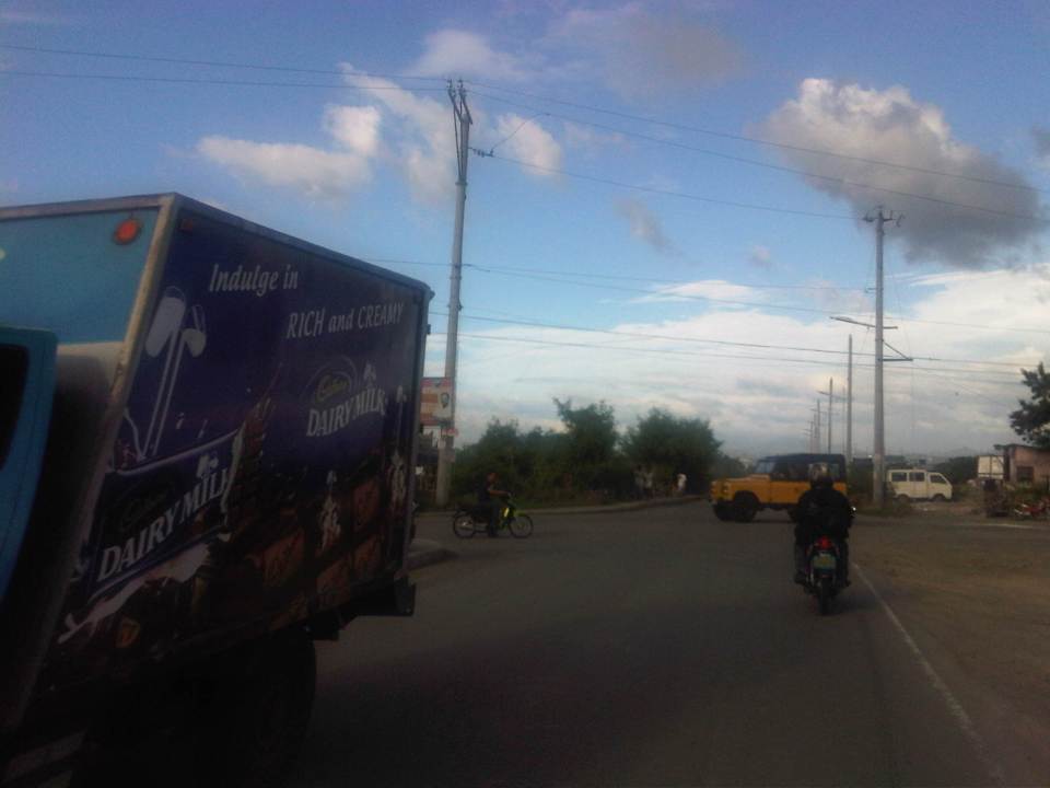 Approach to the intersection with Seagull Ave., which connects M.L. Quezon Ave. and Taguig proper in the west and Bay Breeze Subdivision in what appears to be a small peninsula on the bay.
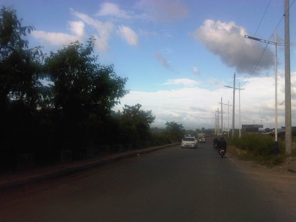 Most sections of the existing C-6 have no pavement markings.
 The entire road is of asphalt concrete pavement.
 There are several pumping stations along C-6, which reminds people of the flood control aspect of the dike and the road. The photo shows the Taguig Pumping Station operated by the MMDA.
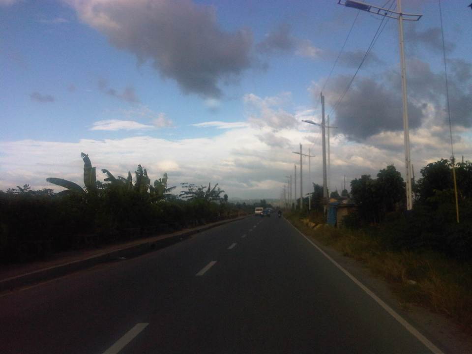 While C-6 provides an alternative route for travelers from the eastern towns of Rizal wanting no part of the traffic congestion along Ortigas Avenue and C-5 en route to Makati or Taguig (or back from these areas), peak traffic is usually predictable and at other times of the day, volumes are quite low as shown in the photos.
 There aren’t any significant developments or establishments for most part of C-6.
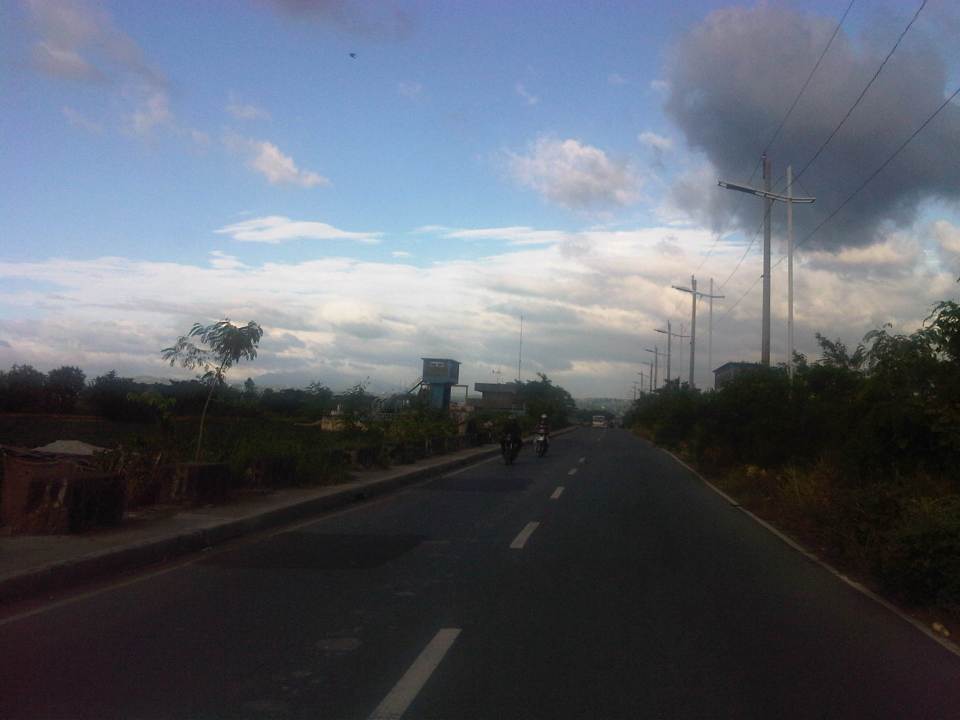 The undeveloped lands are mainly due to these areas being flood prone, and requiring extensive improvements to raise elevations and provide for adequate drainage.
 Labasan pumping station – is practically the only building for a long stretch of the highway.
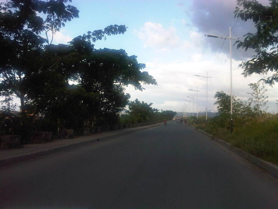 Past the Labasan Pumping Station, are more undeveloped areas along the highway. At right in the photos is the dike that serves as
  The bridge across the Napindan channel of the Pasig River is further ahead (downstream), which travelers can use to cross to Pasig City.
The stretch of C-6 from M.L. Quezon to Napindan is currently subject to studies for widening as traffic steadily increases due to the very strategic position of the road. However, there should be a more direct link between C-6 and C-5 so as to maximize the benefits of the road, particularly as an alternative route between Rizal province, and Bonifacio Global City and Makati CBD. I estimate that travels times can be reduced significantly for people traveling between their homes in Antipolo and Taytay to the offices in Makati and Taguig (Fort Bonifacio). On a normal day, this trip can take easily more than 60 minutes due to congestion along Ortigas and C-5, the usual route for most people. With the alternate route, it might just be possible to reduce it to say 45 minutes, give and take some congestion. Of course, once this alternate route is discovered by more people (and UV Express vehicles are already using this route), then it would attract more traffic and necessitate an increase in capacity for it to handle such traffic. But then the result may well be an easing in traffic along Ortigas and C-5 so that should be good until perhaps we finally have a good public transport system in place along Ortigas and C-5. BRT? That deserves another post…
–
Roads in Pasig: Ejercito Avenue
Upon reaching the end of the existing C-6, travelers encounter an intersection at the mouth of the Manggahan Floodway that leads to Taytay, Rizal via the Barkadahan Bridge. Turning right leads to Taytay while turning left leads the traveler to Pasig City via Sandoval Avenue. C-6 and Sandoval Avenue are linked by a short road named Ejercito Avenue.
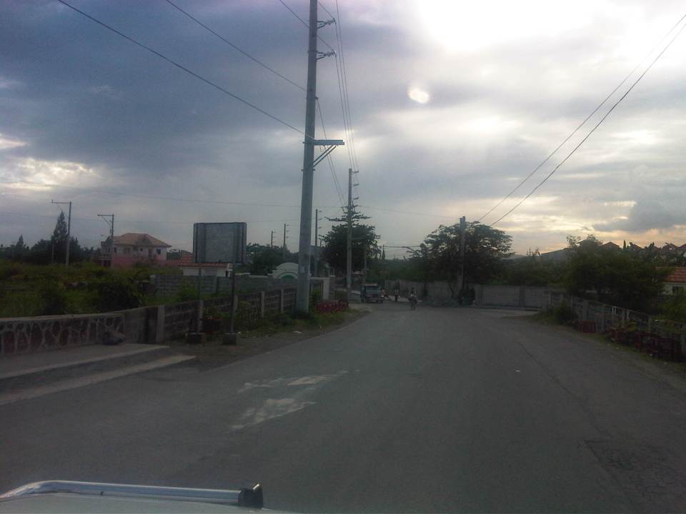 Turning left from C-6, travelers are greeted by the walls of exclusive residential subdivisions.
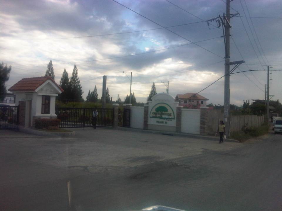 Among these subdivisions is Greenwoods, whose Phase 10 is located near C-6 and the Manggahan Floodway to Taytay, Rizal.
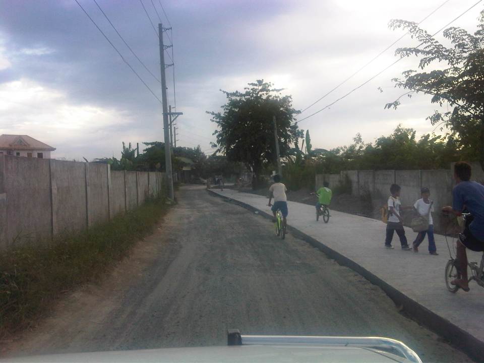 The easternmost section of Ejercito avenue was under rehabilitation when we passed the road. Only one lane, the one where the sub-base was exposed, was available to motorized traffic. The other lane is presumably still in the curing stage but is used by pedestrians and cyclists.
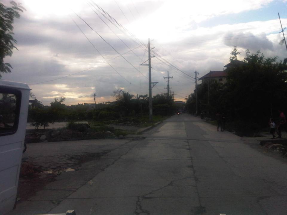 Past the section under repair is a section that’s showing a lot of pavement distresses that appear to be partly due to patch-up work by a water concessionaire (note the features of the concrete slab in the middle of the road where an excavation for waterworks used to be).
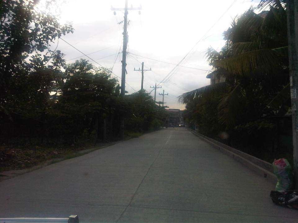 Rehabilitated section of Ejercito Avenue features what appears to be properly cured pavement but with curb only along one side.
 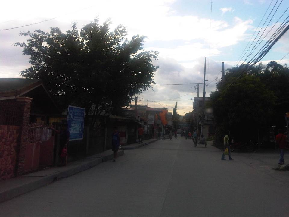 Open residential area in Pinagbuhatan, Pasig where one can see that the pavement is higher in elevation compared to the ground floors of most houses. This us usually an indication that the area is prone to flooding.
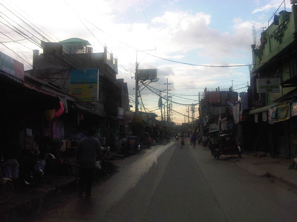 Some parts of the road pass through what appears to be unplanned developments typical of informal settlements or resettlement areas for people from Pasig and other cities of Metro Manila. Notice the bunch of meters installed by the Meralco on the post in the middle of photo? That’s another indicator associated with crowded, unplanned areas. I always wonder how Meralco staff are able to read the meters and collect payments due. I assume there are still significant losses here due to jumpers that are eventually subsidized by those who do pay their bills.
 Noticeable in this photo, the previous one and the next one are indications of previous waterworks in the area. The pipes are laid out under the middle of the road and so requires excavations in cases when maintenance works need to be undertaken.
 Ejercito Street ends where P. Sandoval Avenue begins. From what we observed this transition from one road to another is not a clear one except perhaps to those who are familiar with the area such as residents of Pinagbuhatan, Pasig City.
–
Shaw Boulevard: Kapitolyo to St. Francis
I have not been to Shaw Boulevard for quite some time so I decided to take photos en route to a speaking engagement at my alma mater, a school located along the major thoroughfare. Though I have commuted between my parents’ home in Cainta to school using this route and some landmarks remain, a lot has definitely changed in the area including the skyline along the boulevard. I have memories of vast grasslands where the buildings of Ortigas Center now stand. One could see EDSA traffic from the balcony of St. Francis Church in the 1970’s and the 1980’s as there were still no SM Megamall, Shangri-la or ADB along EDSA. The old provincial capitol site (Pasig used to be part and the capital of Rizal Province) is now being redeveloped into a commercial center after it was bidded out and the capital moved to Antipolo City. It was the Rizal provincial capitol which gave Barrio Kapitolyo in Pasig its name.
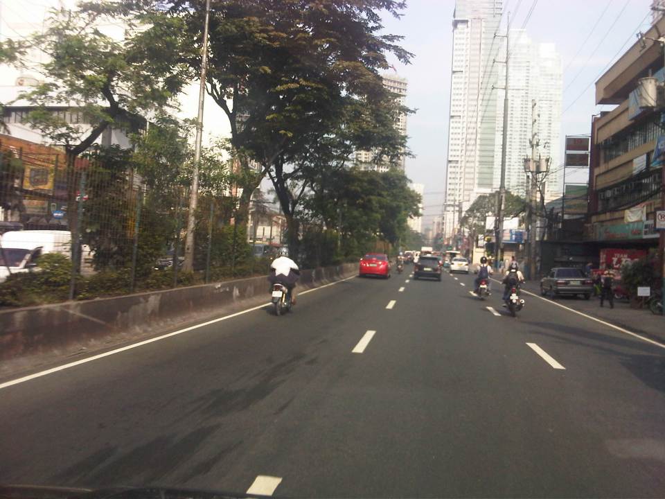 Turning from Meralco Ave, one is greeted by the view of tall buildings along Shaw Boulevard.
 Shaw Blvd is a six-lane, two-way highway with a median island separating opposing traffic flows
 The signalized intersection leads to Kapitolyo and an area that was generally called United (as seen in the jeepney sign boards). United stands for United Laboratories or Unilab, which had its main offices and plant in the area (They still have property there even after moving to their plant in Laguna.).
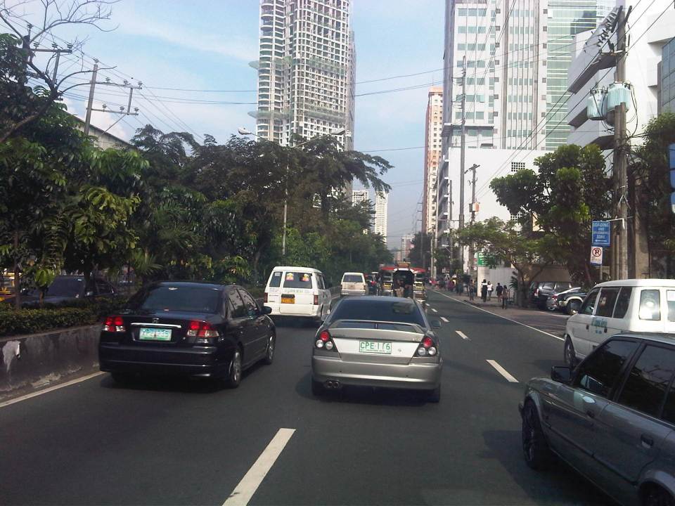 It seems more crowded now along the street because of the high rise buildings that have been constructed.
 It doesn’t help that there are also more electric wires, telephone cables and posts/poles along the boulevard.
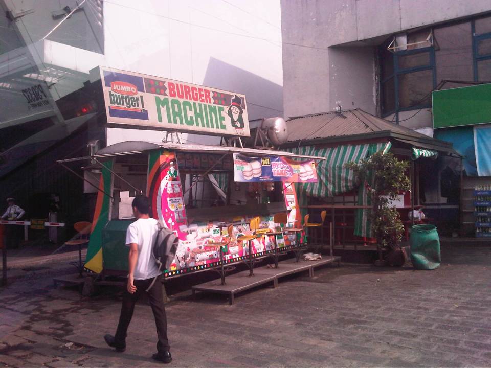 There used to be a lot of these burger stands around Metro Manila. Usually installed at gasoline stations, they provided inexpensive fast food while the big boys (Jollibee, McDo, etc.) were not yet into their aggressive expansions. The one at the former gas station where One San Miguel now stands was a Minute Burger stand. I think only Burger Machine survived from that era though there are others like that ubiquitous Big Mak that flourished in the provinces.
 Intersection with San Miguel Ave. – right after the intersection is Lourdes School of Mandaluyong and St. Francis of Assisi Church. There was a time when the school and the church were the only major structures in the area. Most of the surrounding lands were unoccupied including what is now Shangri-la, SM Megamall, ADB and all the lands in Ortigas Center where there are now tall buildings housing offices and residential units.
 Despite the sign stating that boarding and alighting is prohibited along the area, many commuters continue to defy authorities. Jeepney drivers usually oblige if they see that there are no traffic enforcers around to apprehend them. There used to be substantial sidewalk space in front of Lourdes Mandaluyong but perhaps the space was sacrificed when Shaw was widened to allow for more space in relation to the ramp of the overpass/flyover along Shaw that crossed EDSA. It doesn’t help that what little space remained is blocked by posts such as the one shown at the right in the photo. Pedestrians are forced to walk on the carriageway where they are exposed to the risks of being hit by motor vehicles.
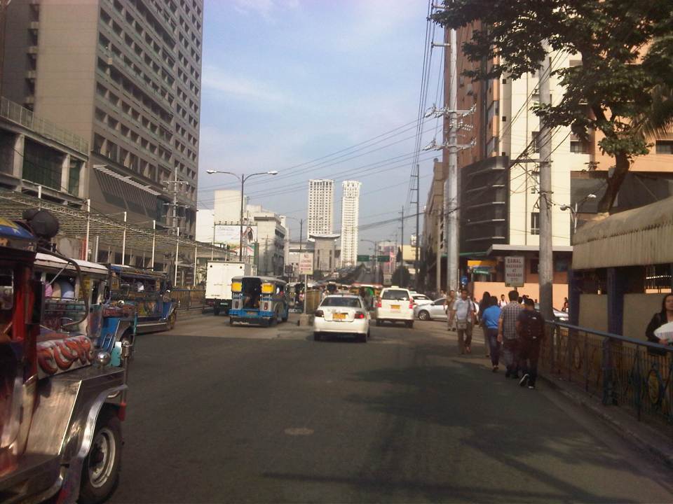 Pedestrians walk along the carriageway due to the narrow space of the sidewalk. Notice that the ramp of the Shaw flyover is practically in the middle of the intersection with St. Francis Avenue (which is in front of St. Francis of Assisi Church). The configuration of the ramp prevents vehicles coming from St. Francis from getting on the flyover and all traffic must turn right towards the at-grade, signalized intersection with EDSA. The area is usually a bottleneck as jeepneys congregate along Shangri-la mall to load/unload passengers at what becomes an informal terminal at the Crossing area.
–
Roads in Pasig: Eagle Avenue
There are a few options for travelers heading to/from the eastern part of Pasig from/to other parts of Metro Manila. The usual routes are via Ortigas Avenue, Marcos Highway and Pasig Boulevard, all crossing the Pasig River or the Marikina River via Rosario Bridge, Marcos Bridge and Vargas Bridge, respectively. I am featuring in this post an alternative route that also crosses the Marikina/Pasig River – Eagle Avenue. Following are a few photos for this road, which connects E. Rodriguez, Jr. Ave. (C-5) and Sixto Antonio Avenue.
 Sandoval Bridge along Eagle Avenue – the road and the bridge is a two-lane, undivided street connecting C-5 in the west and Sixto Antonio Ave. in the east. The latter connects to a network of roads leading to the what is generally regarded as the center of Pasig City, including City Hall.
 The Grove – a major high density residential development along the Marikina River with access via C-5 (E. Rodriguez Avenue) is visible from the bridge.
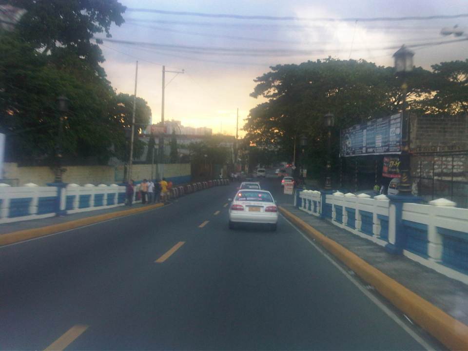 Towards C-5 – the perspective shown in the photo is for westbound travelers. There is only a short distance between Sixto Antonio and Sandoval Bridge. Most of Eagle Ave. is from the west end of the bridge until C-5, which used to have mostly industrial land use on either side of the road.
 Re-development – the lands on the left are currently used by industries while the lands on the right used to be industrial, too (PIMECO). These lands east of C-5 are now being re-developed into residential areas like the development mentioned in a previous photo. Others are currently being advertised by developers.
I can imagine that this road can become congested during the peak periods as many residents of Pasig City would opt to use this route instead of Vargas Bridge or Rosario Bridge to get to or from Pasig town proper. During the morning, most traffic would be westbound and this direction can be congested due to vehicles merging with C-5 traffic. During the late afternoon to evening period, the eastbound direction is congested and traffic can spill into C-5 due to the limited capacity of the intersection at Sixto Antonio. There are limited options to improve this intersection as both sides of Sixto Antonio are generally built-up and land acquisition for widening the road will have prohibitive costs. There’s just too many cars?
–
Eastbound walk along Marcos Highway
I took a couple of photos of the walkway and bikeway along the eastbound side of Marcos Highway while traveling to Antipolo one weekend. This used to be a wide, open canal along the eastbound side of the highway, which forced pedestrians and cyclists to use the outermost lane of the carriageway. Such exposed people to a high risk of being sideswiped by motor vehicles that often speed along the sections shown in the following photos.
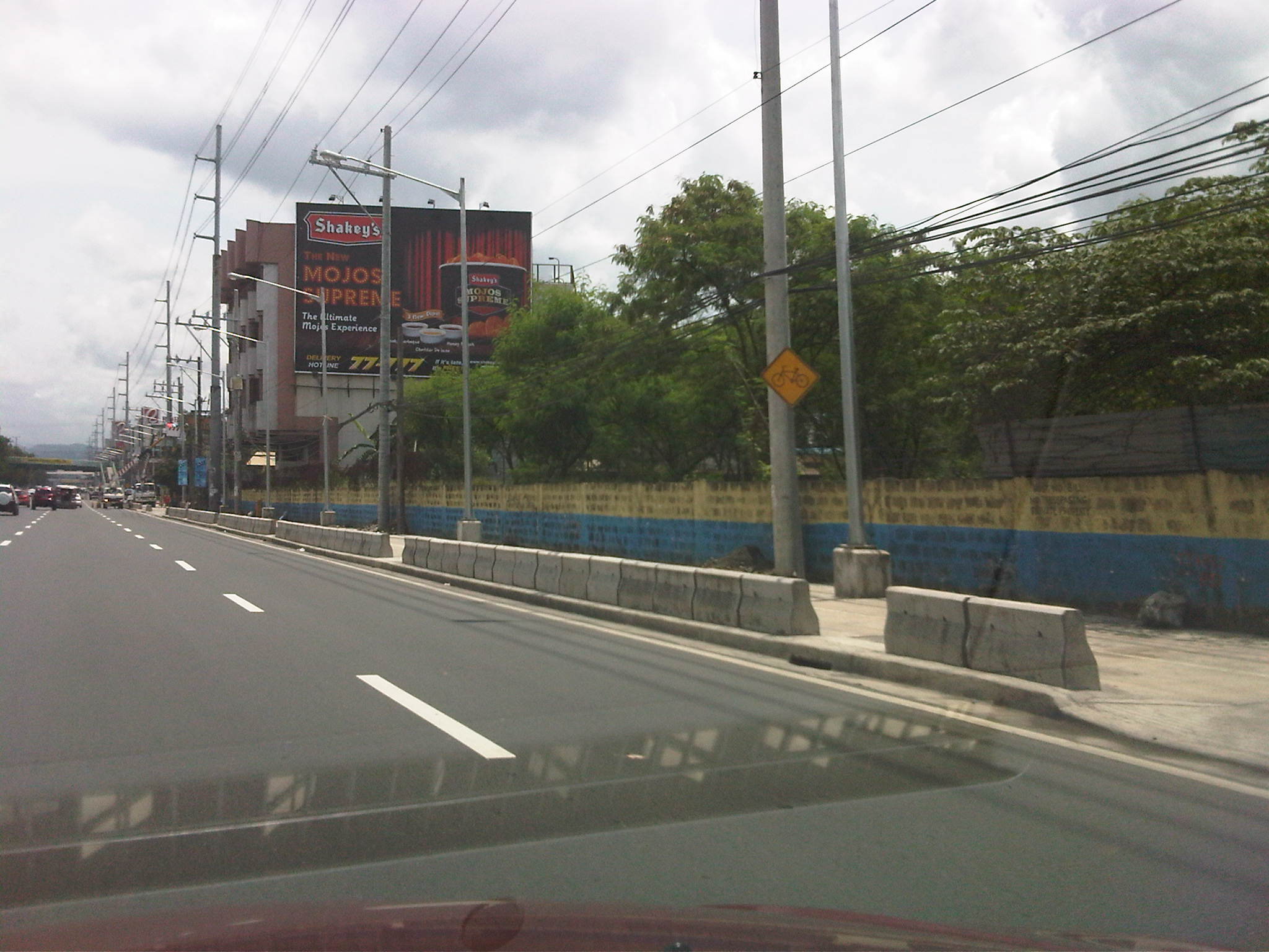 Sign indicating bicycle path along the eastbound side of Marcos Highway. The space is supposed to be shared with pedestrians. Concrete barriers are supposed to provide protection from wayward vehicles.
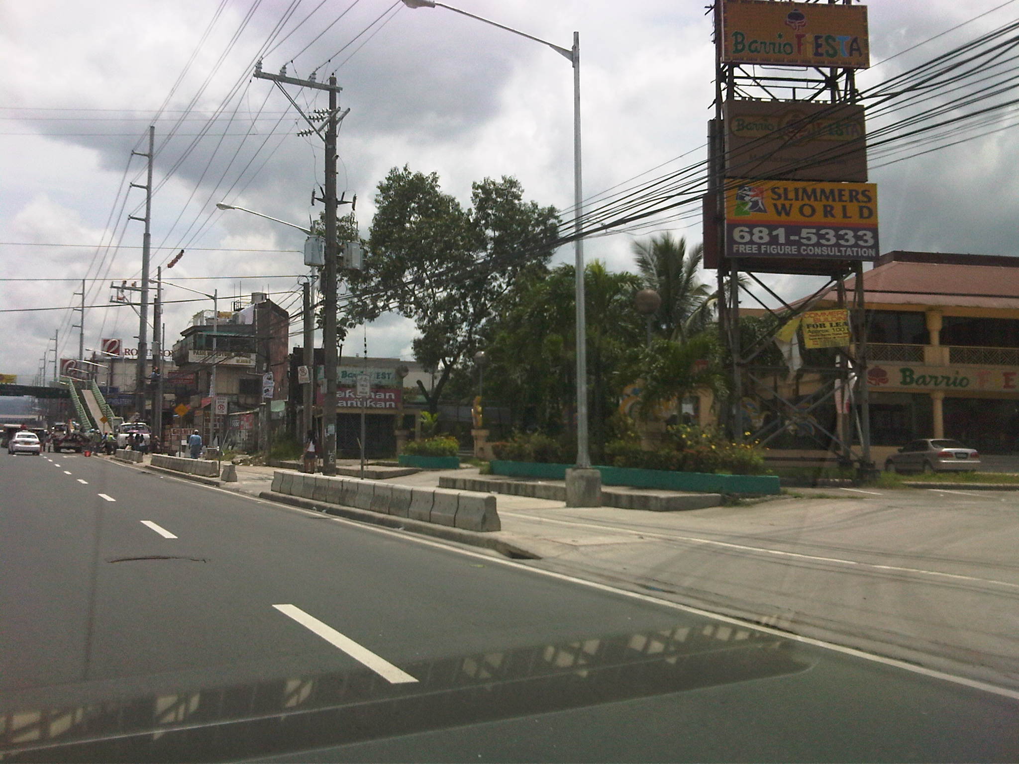 Treatment at driveways of establishments along Marcos Highway. Notice the white line delineating space for pedestrians and cyclists. The overpass at Dela Paz can be seen downstream in the photo. The overpass has a ramp for cyclists and persons with disabilities.
The pedestrian and cycle paths along both sides of Marcos Highway greatly enhance the safety features of the highway. These will especially be important come summer, particularly during the month of May, when many people take the Marcos Highway route to Antipolo Church in what is one of the most popular (if not the top) pilgrimages in the Philippines.
–
Another look at the Marcos Highway bikeways and pedestrian walkways
The improvement of Marcos Highway included provisions for pedestrian walkways and bikeways along both sides of the highway. The inclusion of such provisions was a welcome development as both sides of the highway, particularly along the stretch from Dela Paz to Santolan, lacked pedestrian facilities. This situation has forced a lot of people to walk on the carriageway, putting them at risk of being sideswiped by motor vehicles like jeepneys and cars that are often speeding along Marcos Highway. I experienced this walking from SM Marikina to Robinsons Metro East one time I couldn’t get a ride from the Santolan Station. One had to watch out for puddles and canals in addition to watching one’s back for speeding vehicles that often come close to the roadside.
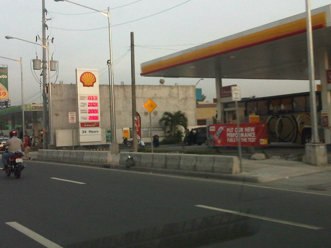 Concrete barriers along the curbside of the highway – the intention seems to be to protect pedestrians or cyclists from wayward motor vehicles in addition to the preventing the same vehicles from mounting the sidewalks
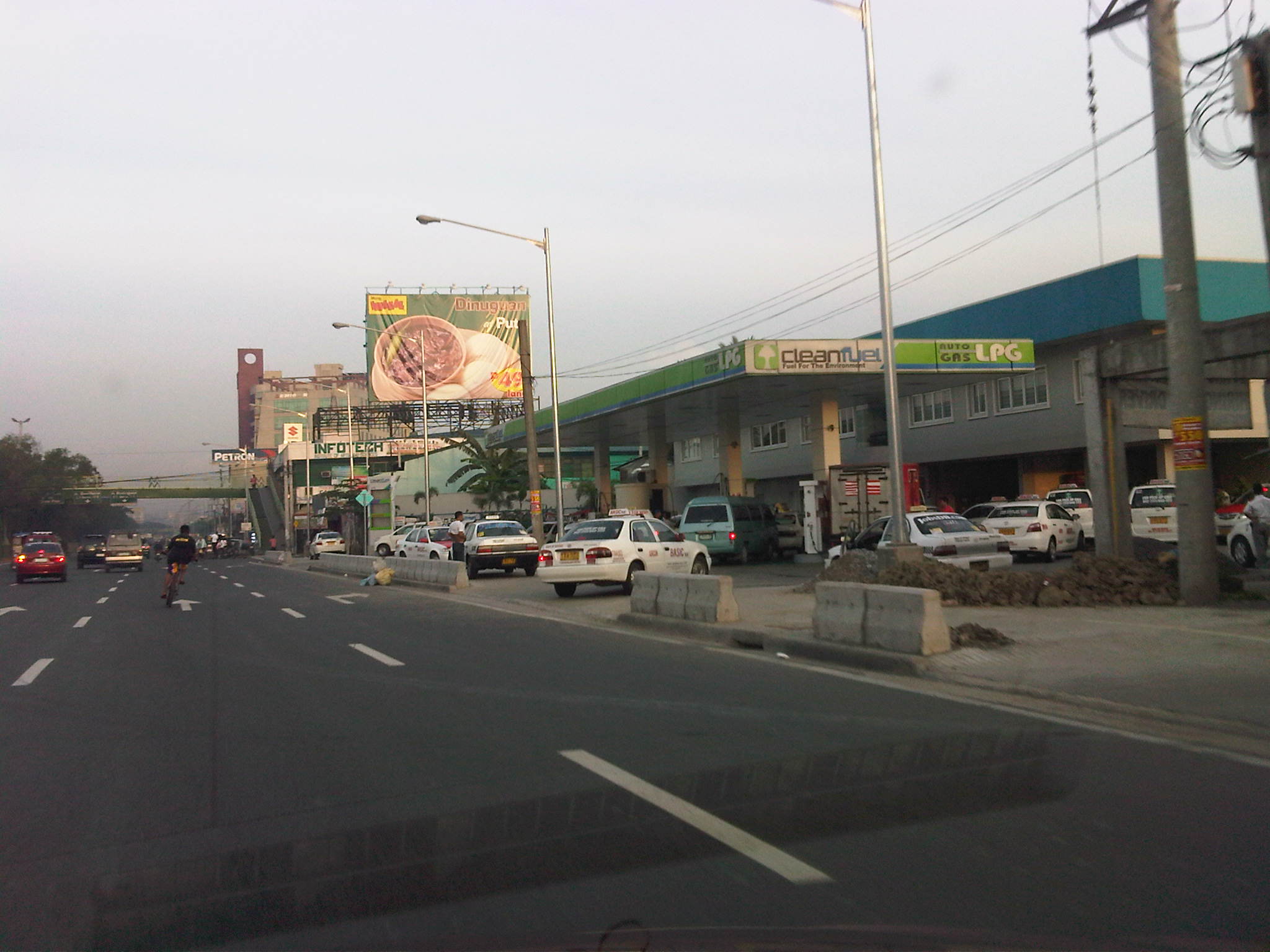 Pasaway? – taxis at an LPG station parked or standing along the bikeways and pedestrian sidewalks.
 Taxis maneuvering as if all the space is for them including the space designated for pedestrian and bicycle use.
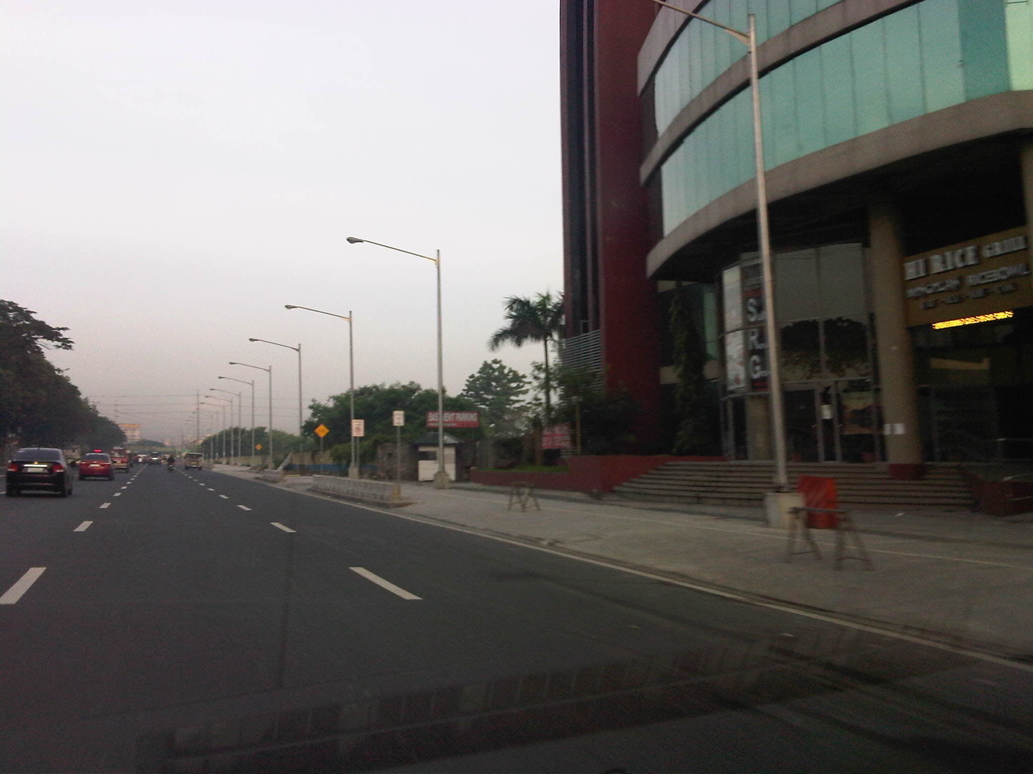 Spacious walkways and bikeways along westbound side of Marcos Highway. Lamp posts are installed to provide sufficient illumination not just for motor vehicles but for pedestrians and cyclists as well.
 Obstructions? – some lamp posts seem to be in the middle of the walkways and bikeways , posing hazards to cyclists. This issue can be addressed at the very least by painting the posts so that they will be visible especially at night time.
I will be writing more about walking and pedestrian facilities in the coming weeks in order to highlight good practices in the Philippines. I am currently looking forward to a trip to Thailand where I hope to collect photos of transport and traffic in Bangkok. It’s been a while since I last traveled to Bangkok so I am quite eager to see how Bangkok looks like particularly considering the destructive floods of last year when the waters of the Chao Praya River breached its banks.
–

