
I have not been to Shaw Boulevard for quite some time so I decided to take photos en route to a speaking engagement at my alma mater, a school located along the major thoroughfare. Though I have commuted between my parents’ home in Cainta to school using this route and some landmarks remain, a lot has definitely changed in the area including the skyline along the boulevard. I have memories of vast grasslands where the buildings of Ortigas Center now stand. One could see EDSA traffic from the balcony of St. Francis Church in the 1970’s and the 1980’s as there were still no SM Megamall, Shangri-la or ADB along EDSA. The old provincial capitol site (Pasig used to be part and the capital of Rizal Province) is now being redeveloped into a commercial center after it was bidded out and the capital moved to Antipolo City. It was the Rizal provincial capitol which gave Barrio Kapitolyo in Pasig its name.
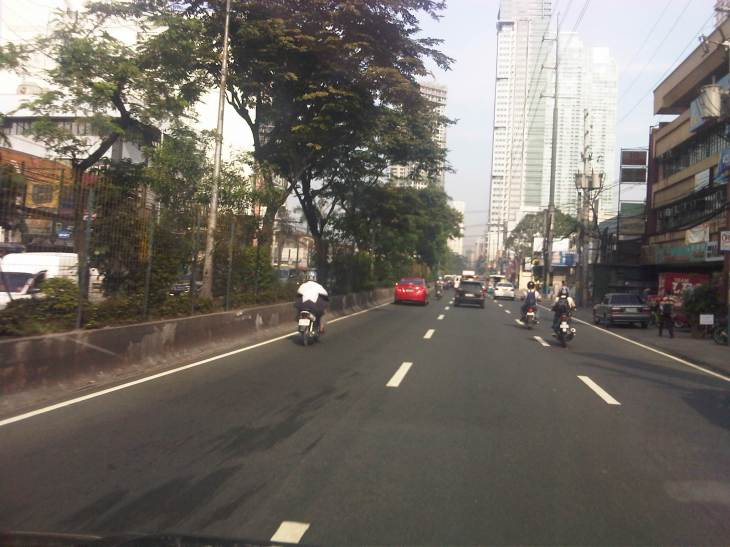 Turning from Meralco Ave, one is greeted by the view of tall buildings along Shaw Boulevard.
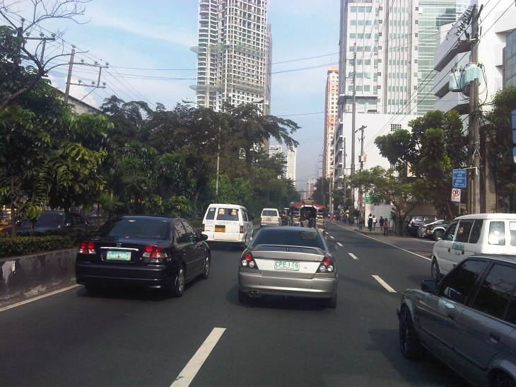
 Shaw Blvd is a six-lane, two-way highway with a median island separating opposing traffic flows
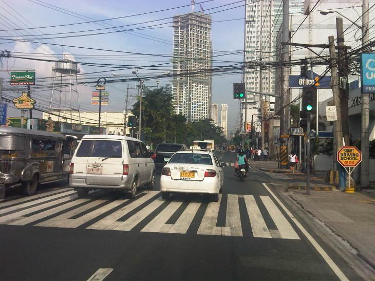 The signalized intersection leads to Kapitolyo and an area that was generally called United (as seen in the jeepney sign boards). United stands for United Laboratories or Unilab, which had its main offices and plant in the area (They still have property there even after moving to their plant in Laguna.).
 It seems more crowded now along the street because of the high rise buildings that have been constructed.
 It doesn’t help that there are also more electric wires, telephone cables and posts/poles along the boulevard.
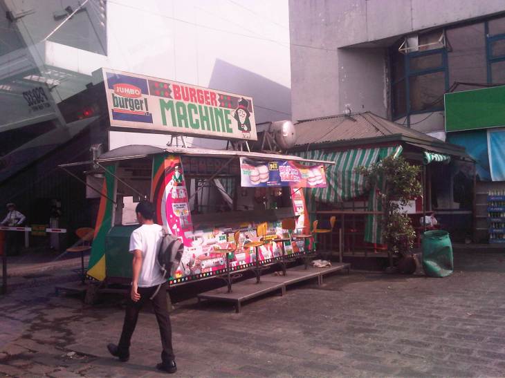 There used to be a lot of these burger stands around Metro Manila. Usually installed at gasoline stations, they provided inexpensive fast food while the big boys (Jollibee, McDo, etc.) were not yet into their aggressive expansions. The one at the former gas station where One San Miguel now stands was a Minute Burger stand. I think only Burger Machine survived from that era though there are others like that ubiquitous Big Mak that flourished in the provinces.
 Intersection with San Miguel Ave. – right after the intersection is Lourdes School of Mandaluyong and St. Francis of Assisi Church. There was a time when the school and the church were the only major structures in the area. Most of the surrounding lands were unoccupied including what is now Shangri-la, SM Megamall, ADB and all the lands in Ortigas Center where there are now tall buildings housing offices and residential units.
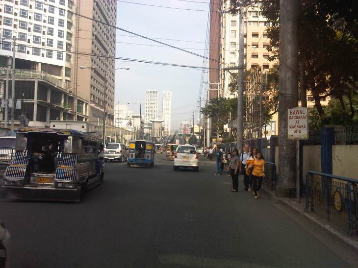 Despite the sign stating that boarding and alighting is prohibited along the area, many commuters continue to defy authorities. Jeepney drivers usually oblige if they see that there are no traffic enforcers around to apprehend them. There used to be substantial sidewalk space in front of Lourdes Mandaluyong but perhaps the space was sacrificed when Shaw was widened to allow for more space in relation to the ramp of the overpass/flyover along Shaw that crossed EDSA. It doesn’t help that what little space remained is blocked by posts such as the one shown at the right in the photo. Pedestrians are forced to walk on the carriageway where they are exposed to the risks of being hit by motor vehicles.
 Pedestrians walk along the carriageway due to the narrow space of the sidewalk. Notice that the ramp of the Shaw flyover is practically in the middle of the intersection with St. Francis Avenue (which is in front of St. Francis of Assisi Church). The configuration of the ramp prevents vehicles coming from St. Francis from getting on the flyover and all traffic must turn right towards the at-grade, signalized intersection with EDSA. The area is usually a bottleneck as jeepneys congregate along Shangri-la mall to load/unload passengers at what becomes an informal terminal at the Crossing area.
–
